
Mt Tor doesn’t always get good street cred, with some vicious rumours floating around about thick bauera and leptospermum that are not a pleasure. Meanwhile, more generous folk maintain the bushy barricades are not too bad. After our experience yesterday, I’d have to agree with those who say the going was better than expected. The views from the top are certainly well worth any effort put in.
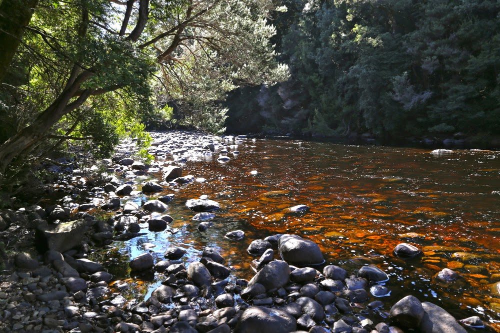
My climbing partners for the day, Mark and Jo, had to drive from Hobart, so we didn’t exactly get an early start having also negotiated all those forestry roads, chatted to the guys at the gate and more. At last, however, we were off, crossing the beautiful Leven River from a not insignificant height on logs that had, at least, had the rounded tops flattened, so were not threatening as long as you weren’t drunk.
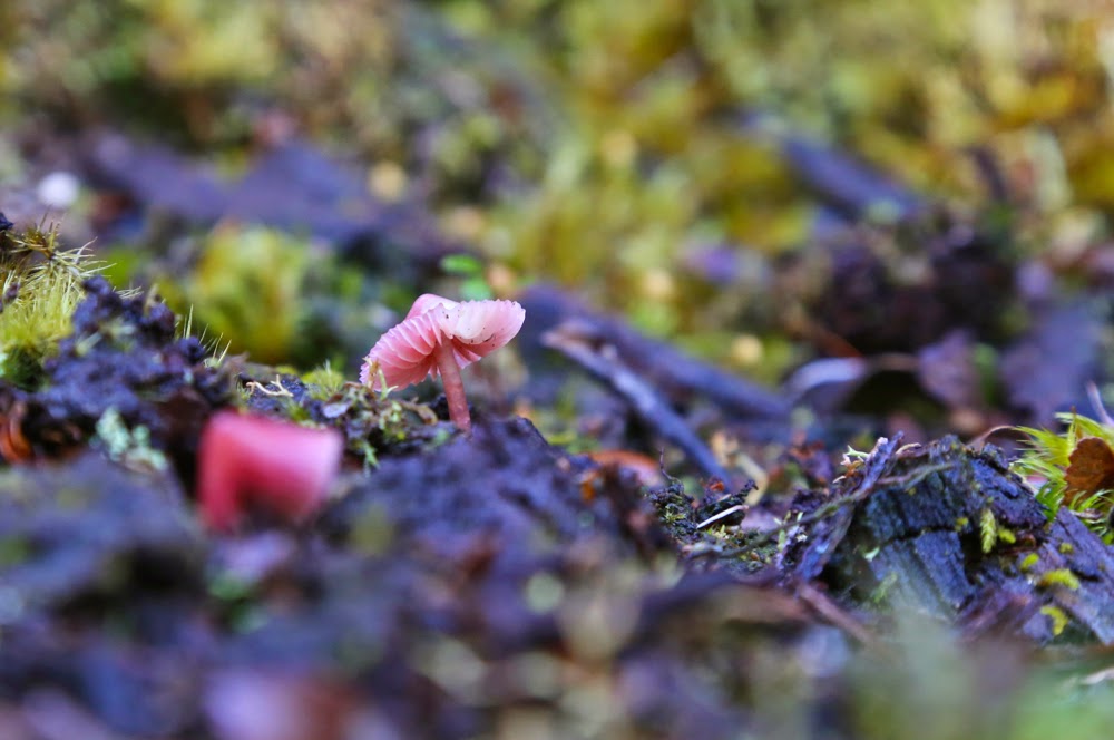
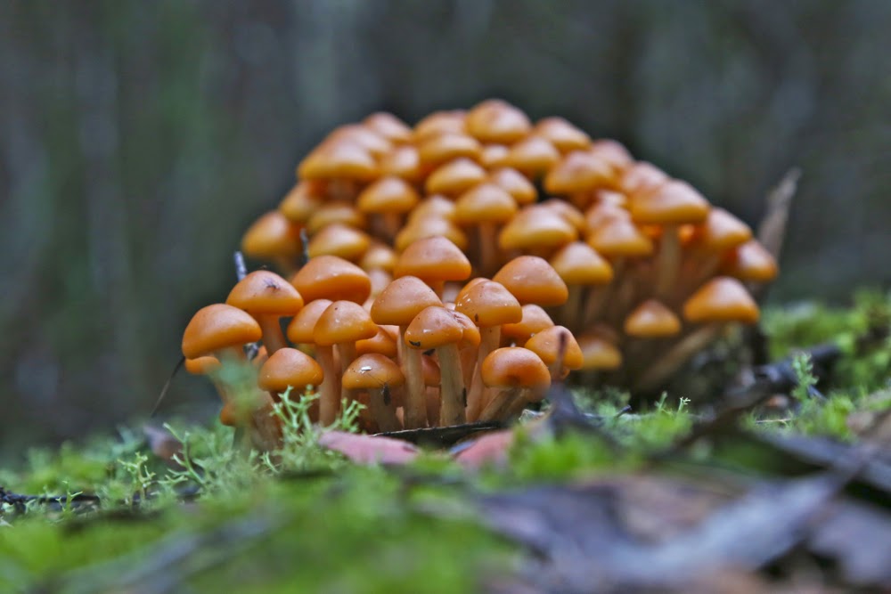
The roads as described in the Abels Vol 1 were all intact, although the final one was quite overgrown, albeit still very distinct. The instructions in the book were to go to the highest point on the final road, but just as we were due to turn left, I spotted the hint of an old lead heading straight up, and we all agreed to take it. I kept an eye on east on my compass, but it was much better just to follow these linked leads through the glorious rainforest and correct later, and that worked well. I knew a creek and the big gully that leads to the top were to my right, but didn’t go searching for them whilst the way was so good where I was. Every now and then a sawn-off tree trunk confirmed that activity had once taken place where we were.
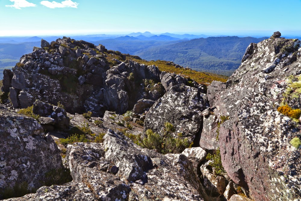
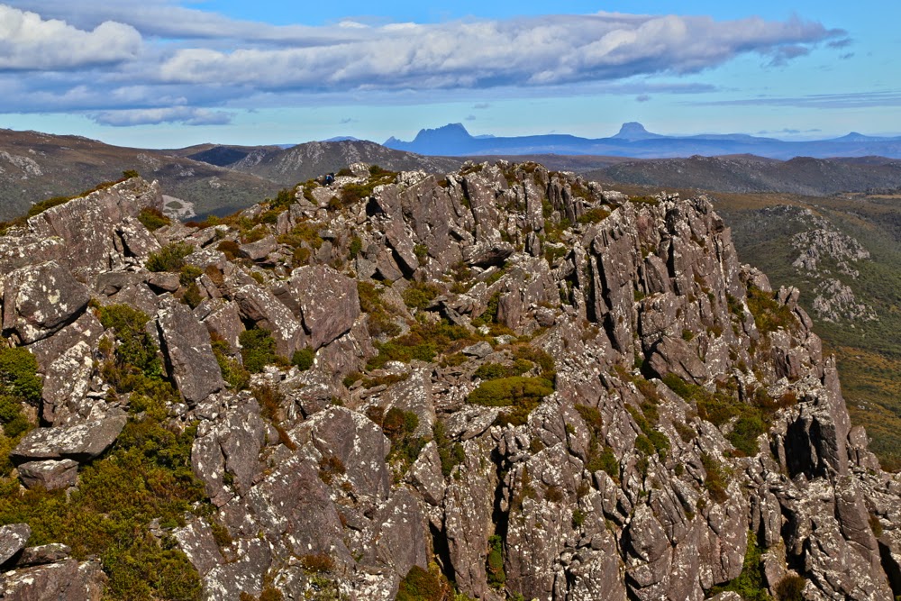
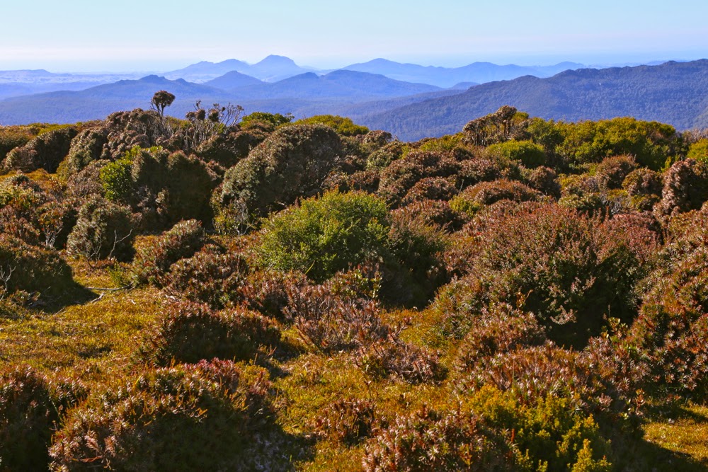
Once we hit the rocks the rainforest ceded to head-high scrub. Time to go find this gully, as the rocks themselves were much too slippery to climb. Using a mixture of climbing and contouring, heading up (east) and right (south) as the terrain dictated, we eventually hit the broad gully, after which the going was very easy with abundant pads heading up to the ridgeline which I loved with all its bumps and rocky knolls. The view was glorious, and we enjoyed it greatly while we ate our lunch. It had been under two hours’ walking time to the top.
The trip down was not as speedy. We had seen what looked like a track going up, so decided to follow it, but it dumped us in a tangled mass that was above my head. I was grunting with the effort of clearing a way through it and was very happy when Mark offered to take over the lead at this point. I’d loved leading through the rainforest, and didn’t mind the chest-high stuff at all, but I was feeling rather smothered by this wall of twigs that resisted movement and that was so high that I was invisible in its mix. With Mark going ahead of me, I could use the slightly bent branches to make better progress following in his wake. Back in the rainforest, I took over again, leaving Mark to concentrate on helping his wife, for whom this was a debut Abel summit.
“Are they all like this?”, she asked.
“Well, some are easier, but …. er …. mostly, yes,” confessed Mark, “and some are much worse.”
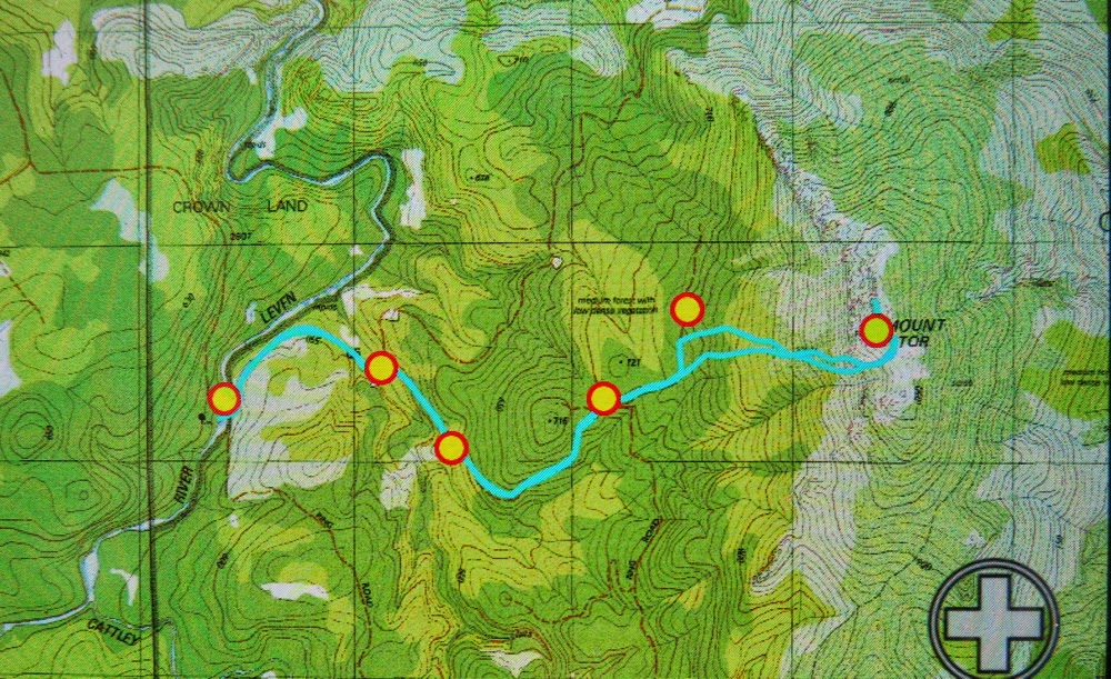
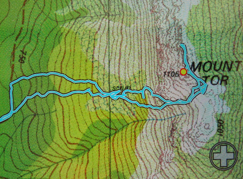
Track data: 11.65 kms, with 610 ms ascent. As with Valentine, really surprised to see the climb. When you’re busy negotiating greenery you just don’t notice that you’re climbing at the same time.