Meetus Falls 16 Aug 2017
It has been raining for ages. Where I park at the gorge, the water was so high that the huge skip garbage bins were floating, and my car was an island, out of which I had to leap in order to keep my feet dry. (Funny that no other people seemed to try this method of parking). Surely this was a great day to find the Lost Falls (that only flow under such conditions) and their nearby neighbour, the Meetus Falls.

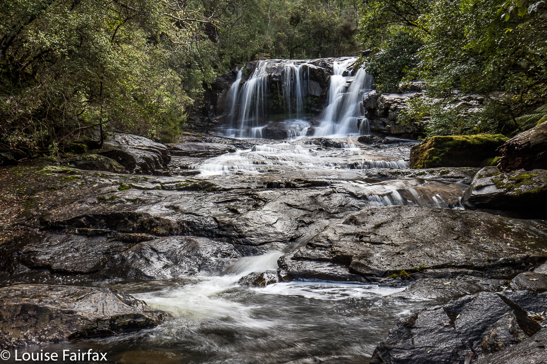
Above are some beautiful cascades that are below the Meetus Falls proper, on the Cygnet river.
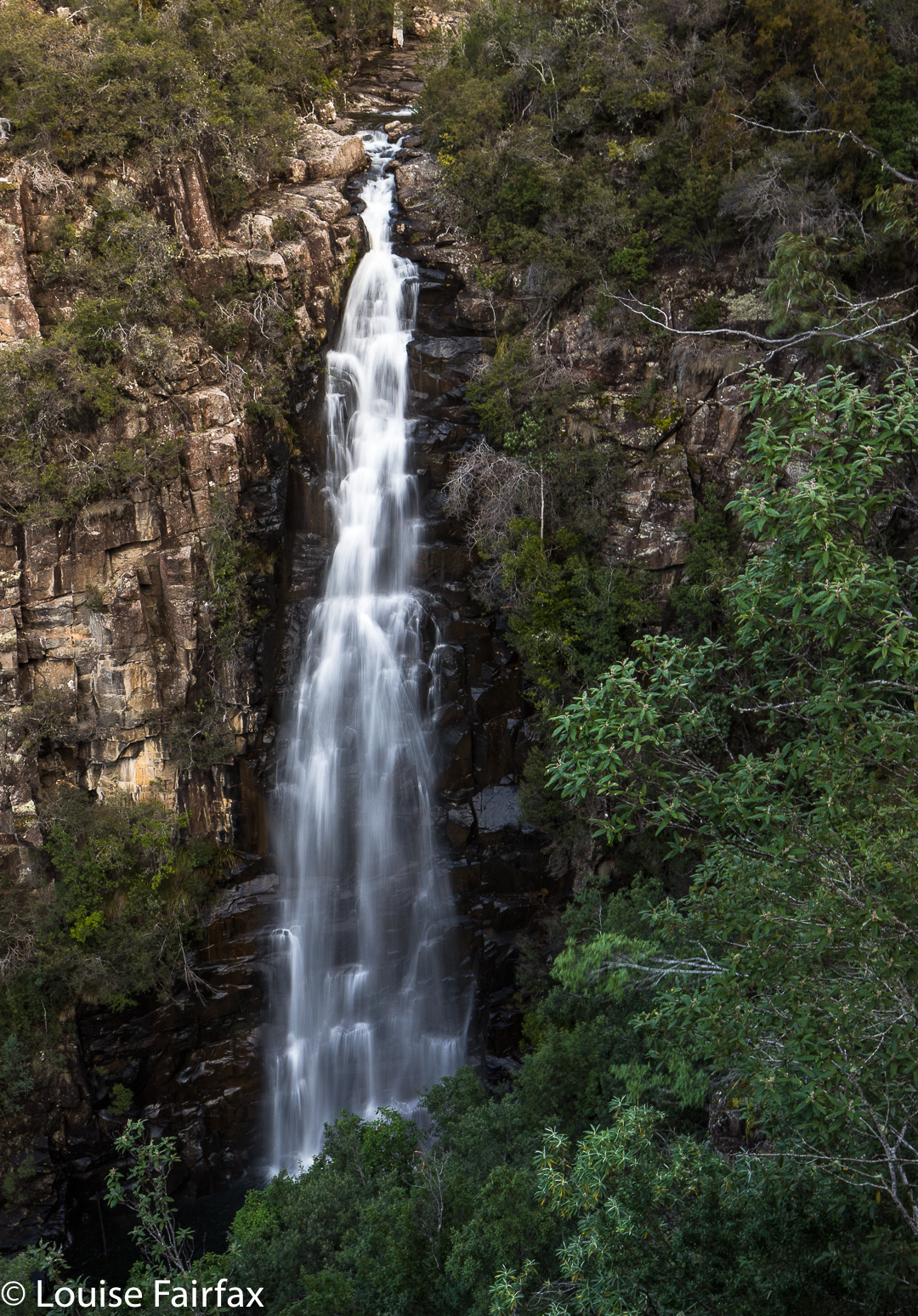
The Lost Falls were a lost cause (http://www.natureloverswalks.com/lost-falls/) – that is, we found them, but they lacked water. However, the Meetus Falls were flowing nicely. Tessa (dog) bagged both, as did my husband. And they both reached the river at the base of the falls. The path down had been very muddy and slippery – so much so that I led them on a quasi bushbash on the way up. It wasn’t really a bushbash, in that I followed what must be a path from yesteryear, still mostly discernible on the ground, and much easier than the route we were supposed to be on, which was mud with no catching points.

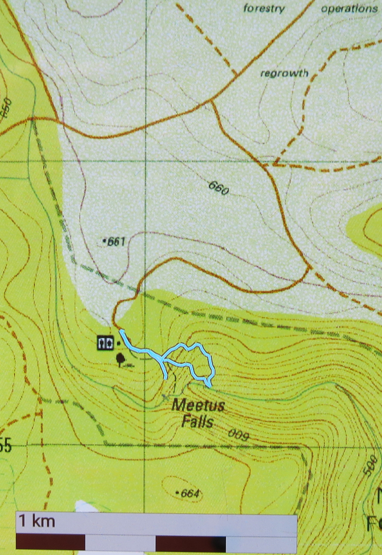
To reach these falls, drive to Campbell Town, and turn east along the Lake Leake Road. Continue on past Lake Leake (and Lake Road that leads to it), and past Kalangadoo – the petrol station cum general store further along on that road – until you come to a huge intersection with traffic islands to each side. For Lost Falls, turn right and drive “4 kms” to their turnoff proper (see the blog on Lost Falls for exact details). For Meetus Falls, turn left (north) and drive 11 kms. A turnoff will then direct you right to the falls. At one stage in the final section there is a Y-fork with no signs. I chose right (see map below) and found the falls. On the return, when heading back to the Lake Leake Road, I came upon another unsigned Y-intersection which presented me with a choice I didn’t feel like making. I chose left and found the highway, but kept wondering if I should have taken the other alternative. I was very pleased to find the traffic island and advisory hut that signalled the approaching major road. I was starving by this stage, and didn’t feel like being delayed by error.
Lunch at Zeps was as delicious as ever, and made more so by my extreme hunger.

Just for your interest, the path going down (the more northerly section of the circuit I made) is the official one. The more southerly part was, firstly, me getting a better view, and then us going straight back up rather than re-using the mudslide. The conditions were far too slippery for me to attempt a traverse over the rocks to the actual base of the falls. Another day, a different pair of boots.

Thank you for all that useful information! Could you tell me whether a partially disabled person (who can walk) could easily see the Falls?
HI Catherine, That is a really tricky question. There is a path to a viewing point, and the distance is not long. It is smoothish but not sealed. It is too narrow for a wheelchair. If this person is happy to have a go with the knowledge that failure of the objective of seeing the falls might be possible, then give it a try. It is a nice area to have a picnic, whether or not they see the falls. Ones like Guide or Philosophers would be easier (or Waratah or Nelson), to name a few, but if they enjoy a day in the bush, then it’s worth a try. Let me know how you go. Cheers