Mt Alma. 4 June 2015
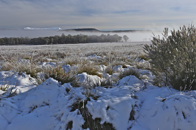
Dark shapes appeared out of the mist as I drove towards the Western Tiers, heading for my render-vous with my HWC friends at Derwent Bridge. The skeletal forms of wintry trees floating in the mist were very beautiful, but I had no time to stop for them. As I expected, the bends on the Poatina road would rob me of the extra minutes I had allowed. 10 kms/hr was all I dared as I negotiated sharp turns of pure ice. The land up top was white and perfect, but again, I had no time to spare. I just had to admire it as I continued on my way. I’d left half an hour early, but was perhaps now running a little late.
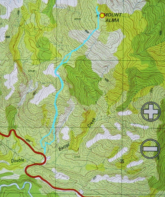
Phew. There they were waiting for me. Now we could proceed further towards our goal, Mt Alma, on the other (northern) side of the road to Frenchmans Cap and along past the car park to where the main southern spur from Alma intersects the highway. Our mountain from the road was, as is often the case, a matter of belief in maps rather than something we could see for certain. She lay back there, up there somewhere.
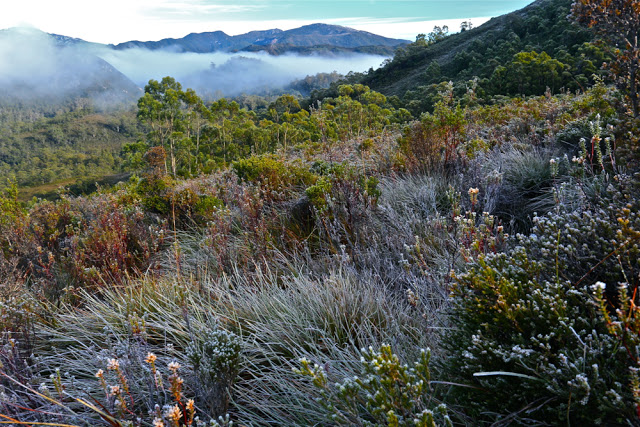
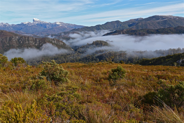
Up we climbed in good spirits brought on by a new adventure, through the frozen grass that melted and saturated when it came into contact with our warmer bodies. The views back towards Frenchmans were splendid, especially as we were lucky enough to have wisps of clouds below us and a snowy white beret on the famous French gentleman.
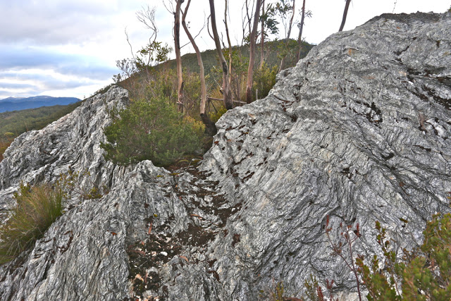
After morning tea at the first hilltop, we dropped, past fascinating rock formations to a saddle, from whence the final climb began. The going was slow, as the bush in this section became quite dense. It seemed odd to climb up from grassy slopes into thick forest. On this particular day, every time you bumped a bush, it threw snow at you.
Already we could see and feel the day changing and clouds were rolling in. Unfortunately, by the time we reached the summit and got to picnic and enjoy the fruits of our labour, the interesting detail in the landscape had all but vanished and outlines were smudged; pleasing lighting effects were nonexistent. I didn’t even bother to photograph the summit, and stood for lunch, preferring not to eat sitting in snow. The trip down was very quick indeed. I think everyone wanted to finish the mountain’s work before the rain began. The views on the way up were definitely the climax of this mountain.


