The hardest part of climbing Adamsons Peak was getting to the start line, and I had always suspected this would be the case – ever since I heard that the old road was closed (and, apparently, has been closed since 2008, which seems to me rather a long time to fail to repair a road that could be well used to give tourists something to do in the Dover area. Perhaps the local council hasn’t yet figured out that modern tourists want to do something and only tourists who are nonagenarians want to sit in a car and drive all day).
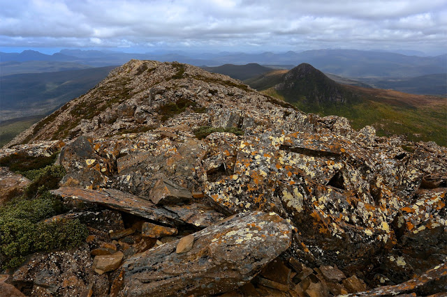
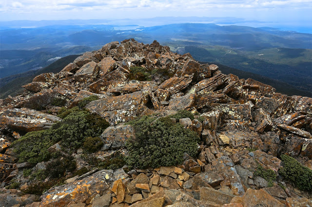
Here we have a grand mountain with a track all the way to the top, a relatively simple climb – as long as you have a little fitness – and grandstand views of the coast, Federation Peak, La Perouse, Pindars Peak, Precipitous Bluff, Hartz and Snowy mountains and the list goes on. Today was quite a murky day, being a lull in between two storms, but the view was still highly enjoyable. Judging by the number of tourists who climb Queensland’s Mt Sorrow, a much steeper and harder mountain, I think it is a waste of an opportunity to keep visitors in the area for an extra day. Perhaps even a couple of ten dollar signposts directing people along the huge and odd detour one now has to make could go at least some of the way to helping provide amusement for people who would like to be energetic in the area.
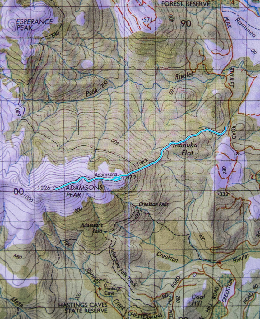
So, how do you get there? Continue driving south past Dover for about four kilometres until you reach the bridge over the beautiful Esperence River. Turn right just before this bridge onto Esperence River Road, and follow this for about ten kilometres, until you see a fork that you can take to the left on Esperence Road that takes you down over the river. After you have crossed, you turn left again, onto Peak Rivulet Road, ignoring all the spur roads that lead uphill to your right, and, staying on that road, you eventually arrive at the signed start to the walk (and a point where parking is easy).
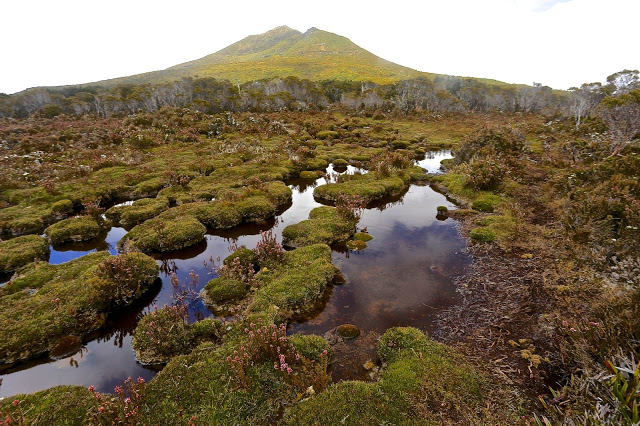
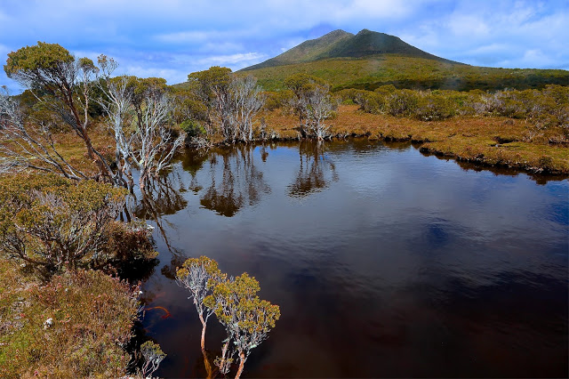
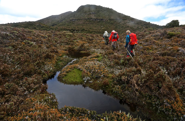
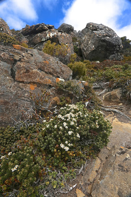
Once you have managed to find the start, the rest is easy. The steeper sections were in beautiful lush green forest, and the flatter sections contained the usual bauera, cutting grass and mud. There was an “introduction” section, then a relatively steep climb, a flatter section (= bauera etc), then another climb, where the forest type reverted to lush moss and myrtles, and then you were out on the top plateau. This took members of our group between one hour forty and two hours. The moor section has a few deeper mud baths to test you out, but these are soon dispensed with, and in not too much time, you are embarking on the final climb to the first lump you can see when you emerge on the moor, and, finally, the rocky summit itself. And then comes the reward: lunch with your well-earned view.
Please note that words like “simple” and “easy” are relative and not absolute, and are used within the context of this writer’s other experiences. If you begin a walk dubbed by somebody as “simple” and you find that you disagree with their terminology (perhaps you even doubt their sanity), it would be very wise to turn around before you land in difficulty.

Woah, I love this blog so much! Pics are amazing.
Sephora, thanks ever so much. It's wonderful when people enjoy what you are doing!! Thanks for the feedback.
Greetings from South Tyrol!
I love your beautiful photos of Tasmania. They remind me of my vacation there in summer 1994/95,
without exaggerating, the best time of my life.
I realise you did this awhile ago but is it marked well??