
Bent Bluff, The Knuckle, Storys Bluff Apr 2015
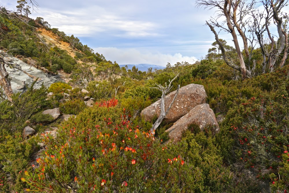
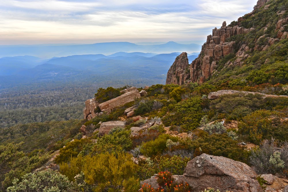 Misty Fingal valley near the top of the track
My bags were all packed for my Easter six-day expedition when an invitation to go climbing arrived in my Inbox. Could I honestly squeeze this in – and do it without using any of the gear I’d so carefully packed for the weekend? Was I organised enough to go off gallivanting for a day? I decided I was.
The climb was located at the southern end of the Ben Lomond massif, to three peaks east of Stacks Bluff (that I had already climbed), and we would use the Bent Bluff track that I had never seen before, which meant that everything would be new for me. It’s fun to explore unfamiliar territory.
We met in the dark in Launceston and were ready to start walking by 9. I wore gym shoes and no gaiters, courtesy of my self-made limitations mentioned above. I didn’t want to dirty or wet anything important. I really enjoyed returning to the footwear I wore pre-2012. Boots often feel slow and restrictive, even if they do keep the feet drier and warmer in the wet conditions Tassie so often gives us. Boots ensure I don’t run, but I love to run. Today I was free.
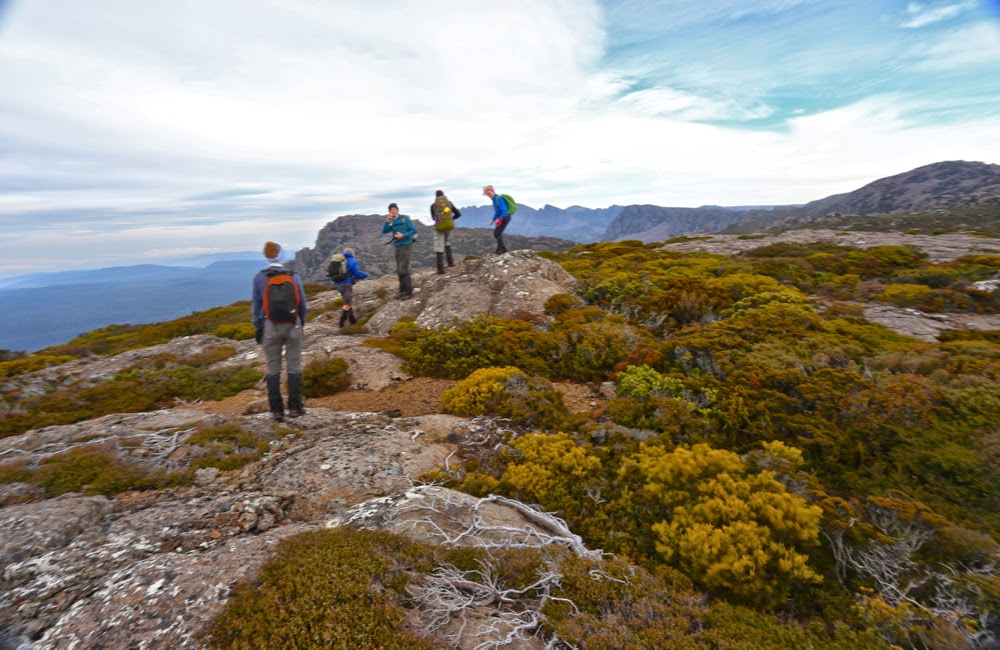
I love climbing, so enjoyed the rise of 700 odd metres, popping out onto the plateau into a blast of wind that worsened as the day progressed. Hearing and feeling its presence as we neared the top, we opted to have morning tea in a bowl before we braved the worst of it.
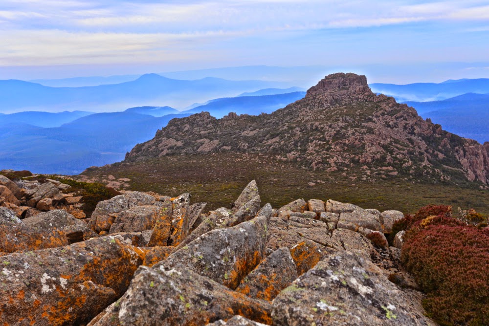
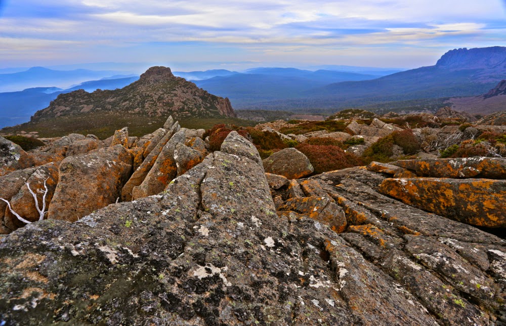
Before the top, Pamela and I had sat together on a rock waiting for the rest to join us, gazing out at the Fingal Valley spread before us, filled with mist and smoke from burn offs. The haze added a very atmospheric look to the scene that I enjoyed. The scene was framed by impressive dolerite pillars, whilst lipstick-red berries on the abundant Leptecophylla juniperina and the seed heads of Bellendena montana provided beautiful dots of colour.
Bent Bluff, our first peak, was just an easy stroll to the left once we’d emerged into the open. I was glad of the time we’d spent just below the plateau gazing at beauty, as by the time we were at the actual summit, the wind was unpleasant enough to discourage lingering.
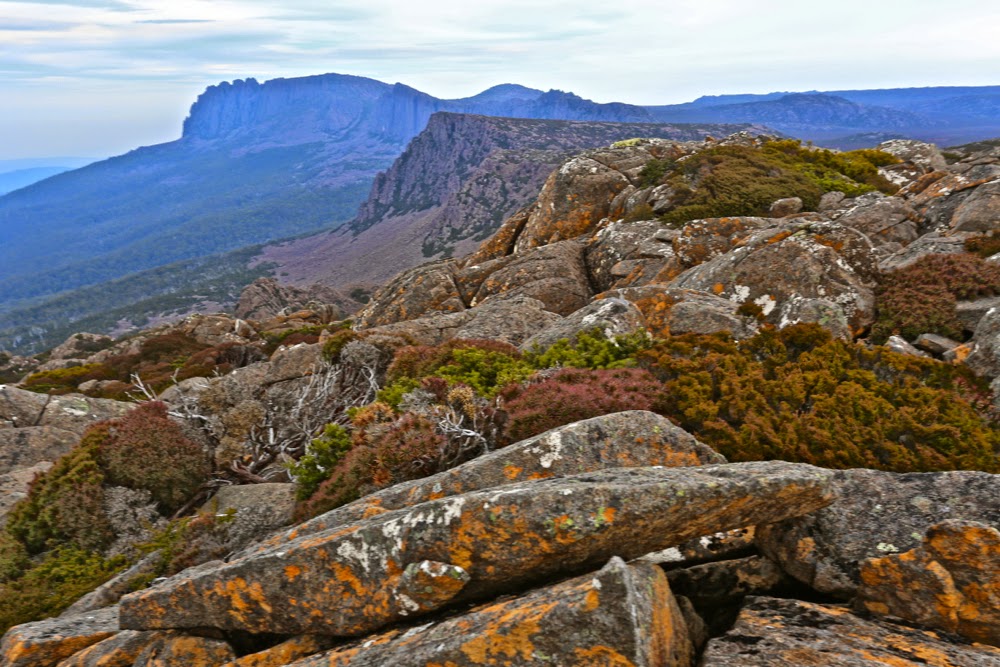
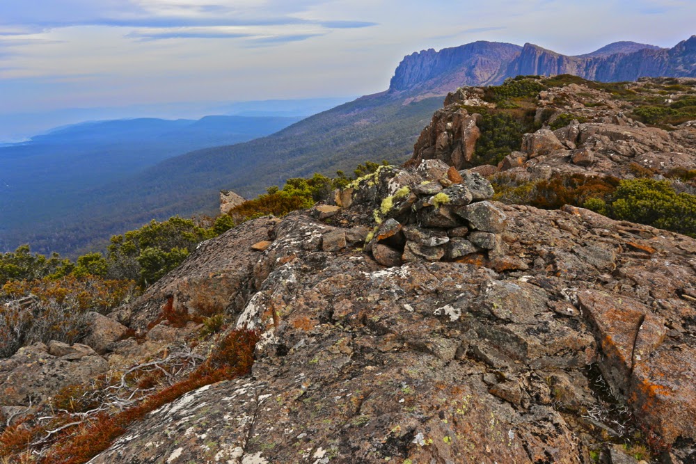
Our next destination was The Knuckle. It was good to keep moving. Stopping was as cold as it was boring. It really was not sit around-type weather. In no time, we’d added this peak to our collection and were progressing on to our next goal, Storys Crag. It was, technically speaking, a little early for lunch, but we’d breakfasted early, and had found a spot that was protected, so dined before the summit. By the time we were near the cairn, the wind had picked up to such an extent that I didn’t dare walk along the ridge line, which is what I wanted to do, but attacked the cairn from the more boring north, just for safety. It’s a one-way trip and no chance to talk about the voyage if you get blown one metre to the south if walking the ridge.
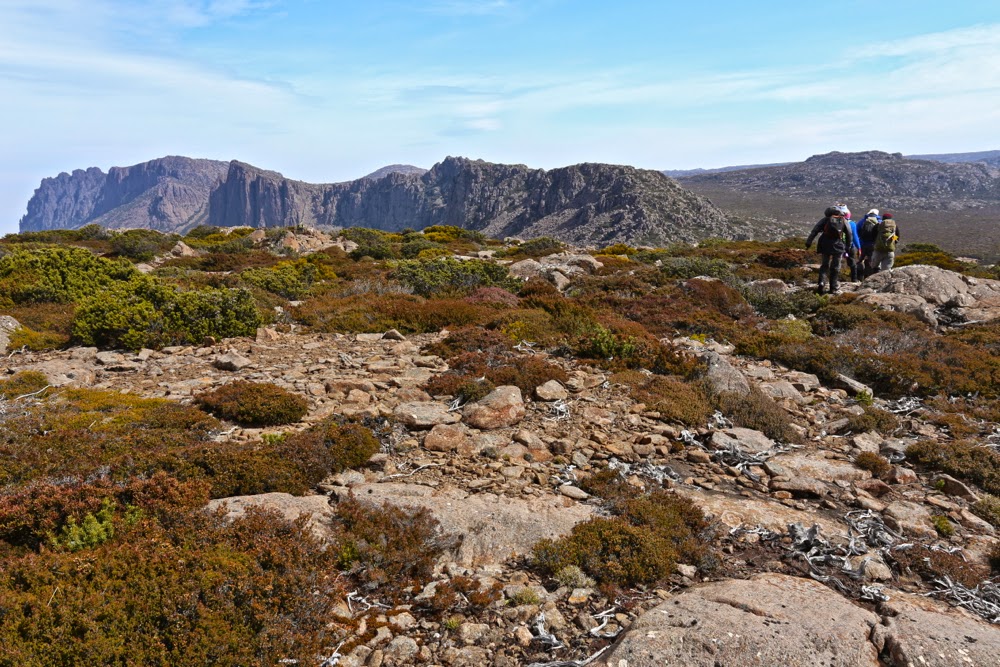
It had taken two hours’ walking to get to the summit; the trip back would take three and a half (and the elapsed time with stops added in would be 9 hours), as we opted to return to the cars via a different gully. It had an old track marked on the map, but the actual track only has a presence very occasionally. It was kind of handy to walk where the gps said a track should be, presuming that gave a good line through the boulders, but there were no cairns at all until we’d dropped hundreds of metres. Obviously, returning the way we’d come would have been faster, but speed was not the aim of the exercise. One would have arrived home sooner if one had not walked at all if a short trip is the aim of the game.
