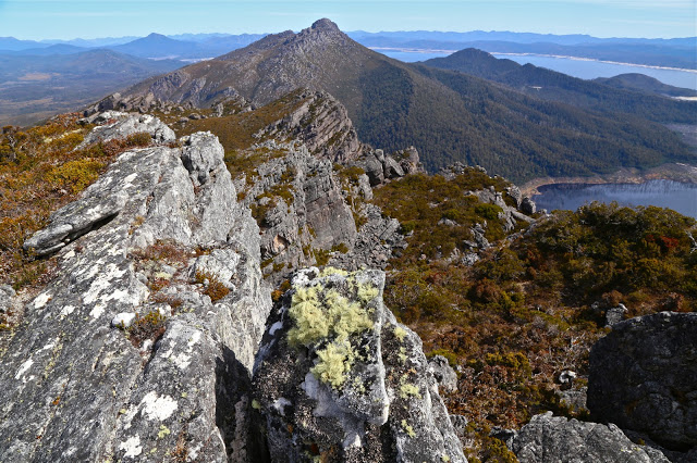
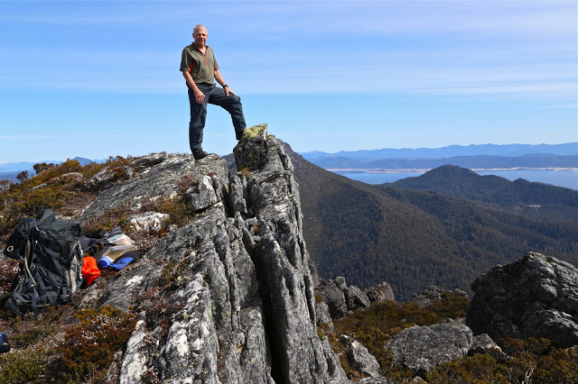
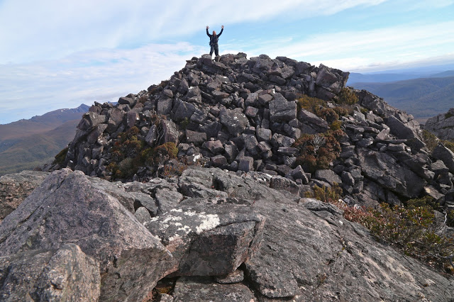
The mossy rock posing as a cairn seemed almost an anticlimax. But there was nothing else on the mountain higher than we were at that moment. This was it. We’d reached another summit.
Excitedly, we gave each other a congratulations hug and together ceremoniously touched the rock. It had felt like hard work, involving a double climb as the most popular route to reach Stepped Hills is by summiting Mt Wright along the way and then losing most of your precious height before embarking on the mount of your quest, and also because we’d only just done a massive effort to summit West Portal a few days before. I had only two days at home in between the two – just enough time to get the mud out of my gear for the next venture. A general lack of water possibly also contributed to the perceived effort: there was no running water in between the Gordon River and the stream that flowed at the base of Stepped – these two separated by four hours fifteen minutes walking with packs, and about eight hundred metres’ climbing and dropping; the day was hot and we were sweating quite a bit.
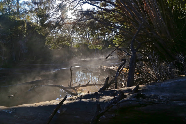
Crossing the Gordon River at the start of the day had been quite tricky: the fallen tree that provides a bridge thanks to one of nature’s more generous accidental acts was wet and covered in moss from the winter moisture (it had rained during the night). It was extremely slippery, and we could see marks where someone had tumbled into the fairly deep river below. Scared by this, I rode it like a horse rather than doing my usual careful walk across. It was a long, fat horse, but I managed. Mark crawled.
The trip down the other side was, as I remembered it from before, perilous due to the array of moving boulders. These rounded rocks do not stack neatly, and were a mobile kitchen-set under our feet: microwave-, refrigerator- and dishwasher-sized rocks (with a few toasters thrown in) all moved underfoot as we placed weight on them.
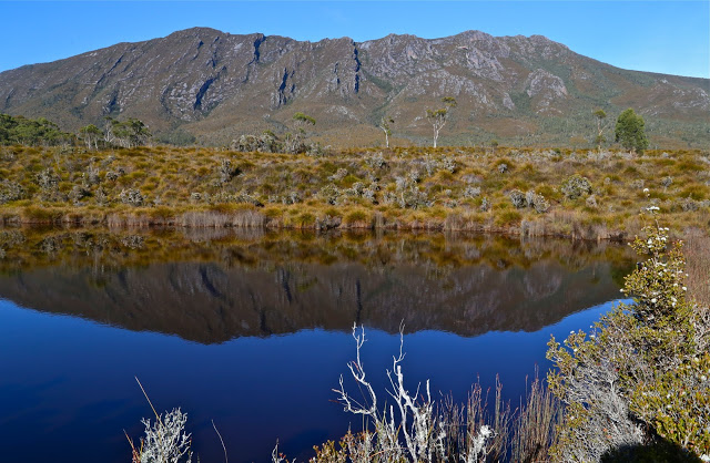
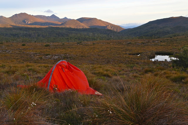
Down and along we went, stopping about half way between the two mountains near a tarn to pitch our tents and have some lunch before we continued. One can drink from the tarn, but Mark had his heart set on running water that lay about a half an hour away, and as I was not good friends with the resident tiger snake that prowls the long grass surrounding the tarn, that suited me well. We had enough water for lunch.
We reached the top by early afternoon and, having nothing better to do with our day than sit outside our tents, we elected to sit on the summit instead, so had a very enjoyable hour up there surveying our momentary and hard-one kingdom, eating snacks and drinking the heavenly water that comes from the stream down the bottom. It was lovely to relax up there.
Day Two’s special moment was scheduled to be (and, indeed, was) lunch at the Possum Shed to celebrate, but before we could do that, we needed to climb back up over Mt Wright, touch its summit cairn, go back through its fascinating arch and negotiate the Gordon River (walking this time; the log had dried). I was near Oatlands on the return drive when the predicted afternoon showers materialised. As usual when this happens, I felt smug for missing a dunking.
Track data: We walked 23.33 kms and climbed 1700 ms (this is “only” the absolute climb from peak to peak and does not include all the incidental ups and downs along the way. My gps doesn’t measure them, unfortunately). This yields 40 kilometre equivalents – and it felt like it.

