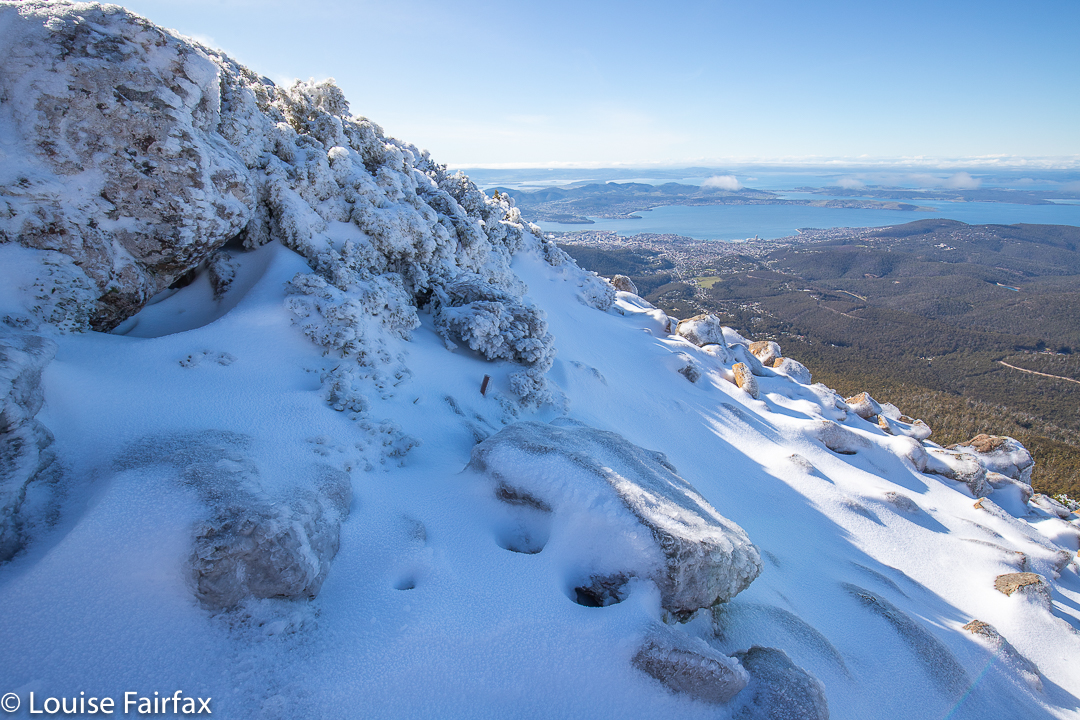
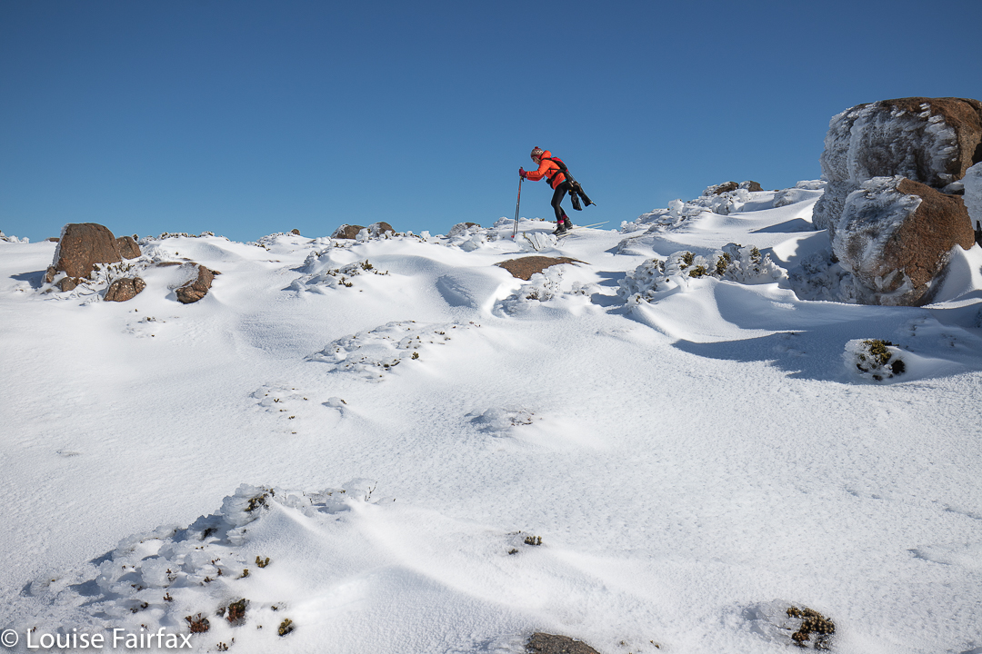
When a daughter says to come down south ’cause she’s free on Friday, and the two of you can ski on Mt Wellington, what quarter-sane mother would say: “No thanks”? Certainly not this one! I packed my skis and trappings and headed south on Thursday night, ready to begin nice and early on the Friday.
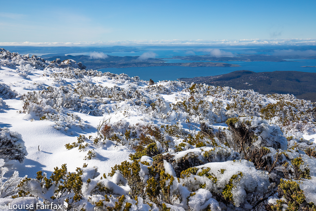
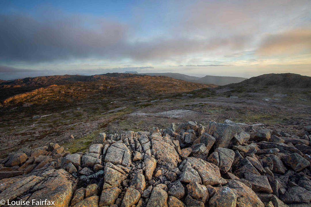
Mt Wellington, the top. Can you find the wallaby?
We dropped the children at school and drove straight to The Springs, where the road was (as expected) closed. With that nice early start, we had a good parking spot, right near the start of the climb. Let the fun begin.
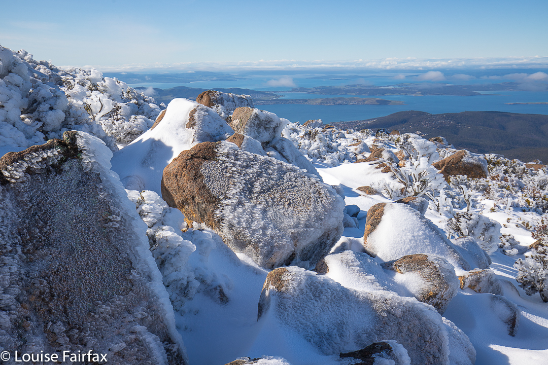
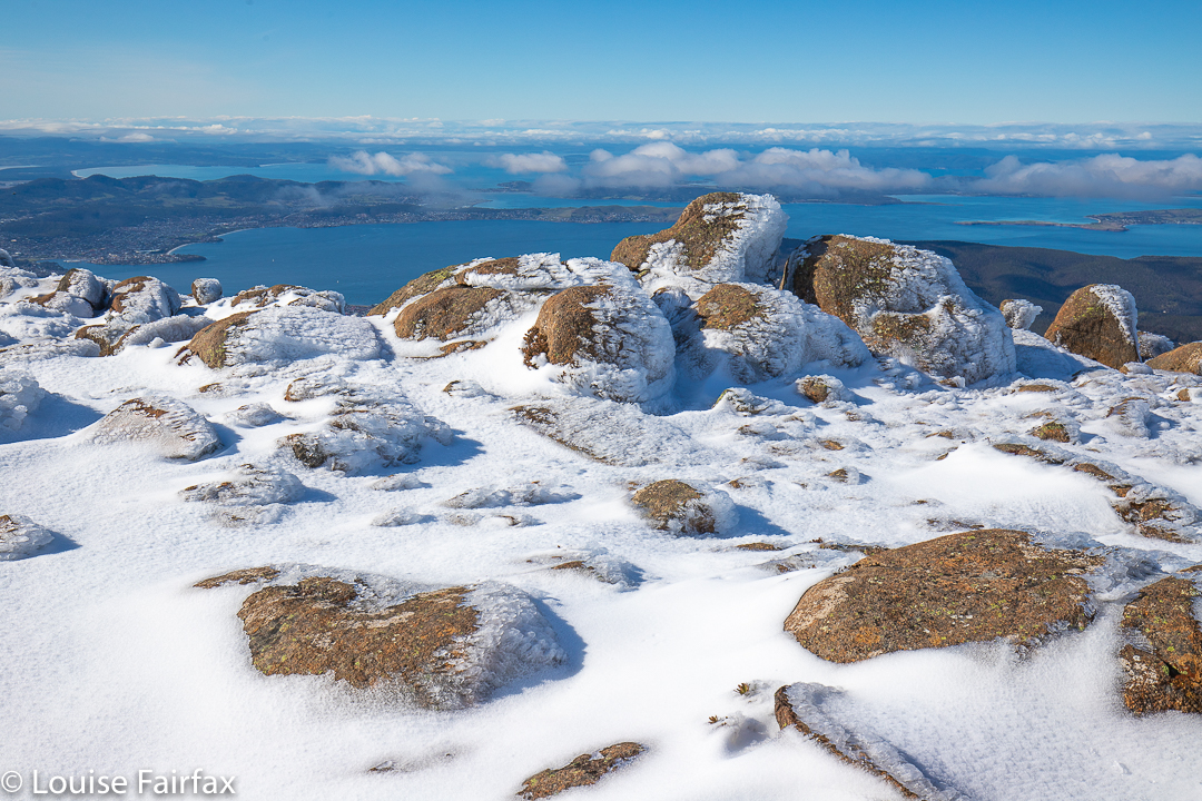
Wellington views to the ocean below
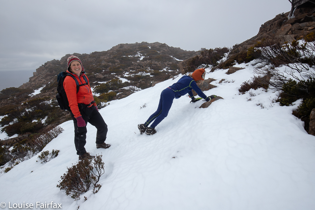
We were carrying “boot chains” and spiders (mini crampons) – utterly necessary – but had not yet attached them. However, the need arose quite quickly, and at the second icy patch, we stopped to put them on, after which the going was a lot better. My daughter kept eying up the terrain for ski possibilities, but the track was far too steep to even think about it. There would be no skiing until we were on top. I slowed things down with a few photos on the way (I just couldn’t help myself), but soon enough we were on top, and deciding which direction we wanted to pursue.
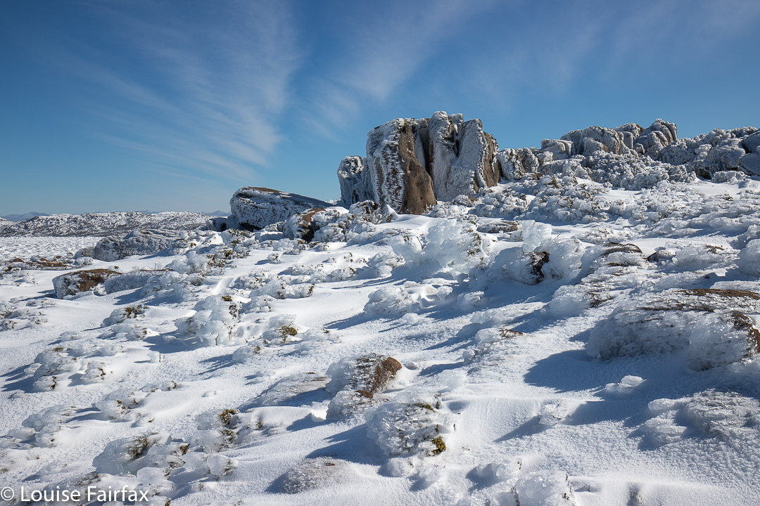
Mt Wellington summit area
South Wellington looked very tempting, and it eventually won the day, but, for me, not before briefly exploring the other direction first. There I met with heavy, noisy machinery squirting snow everywhere and ruining the pristine look of the environment so that cars could drive up there on the approaching weekend. Heck, we couldn’t ask the population to exercise their muscles a bit in order to see fairyland, could we. No. Far better to destroy it so they can all drive quickly up, take their snap and rush away again. I love it when the road is closed.
Wellington skiing
I turned my back on destruction and noise, and gave chase to my daughter, who’d gone off in the direction of the unspoiled fields to the south. Funnily, only one of the other people who’d walked up that morning ventured south, which meant we had this whole huge playground to ourselves.
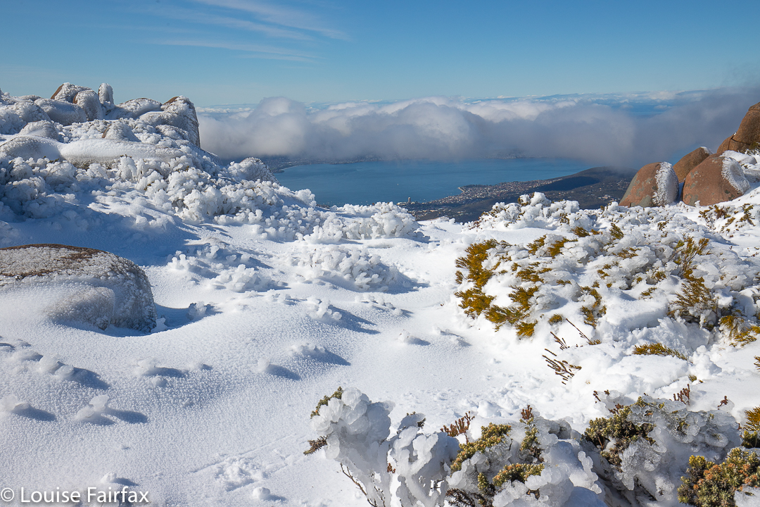
Wellington scenery
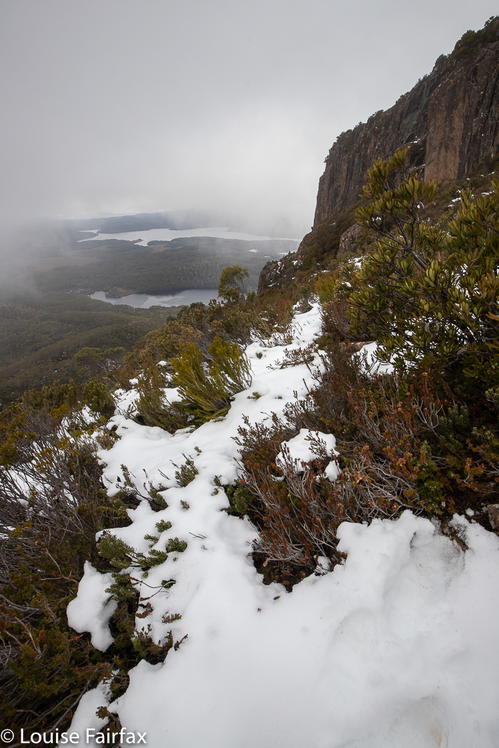
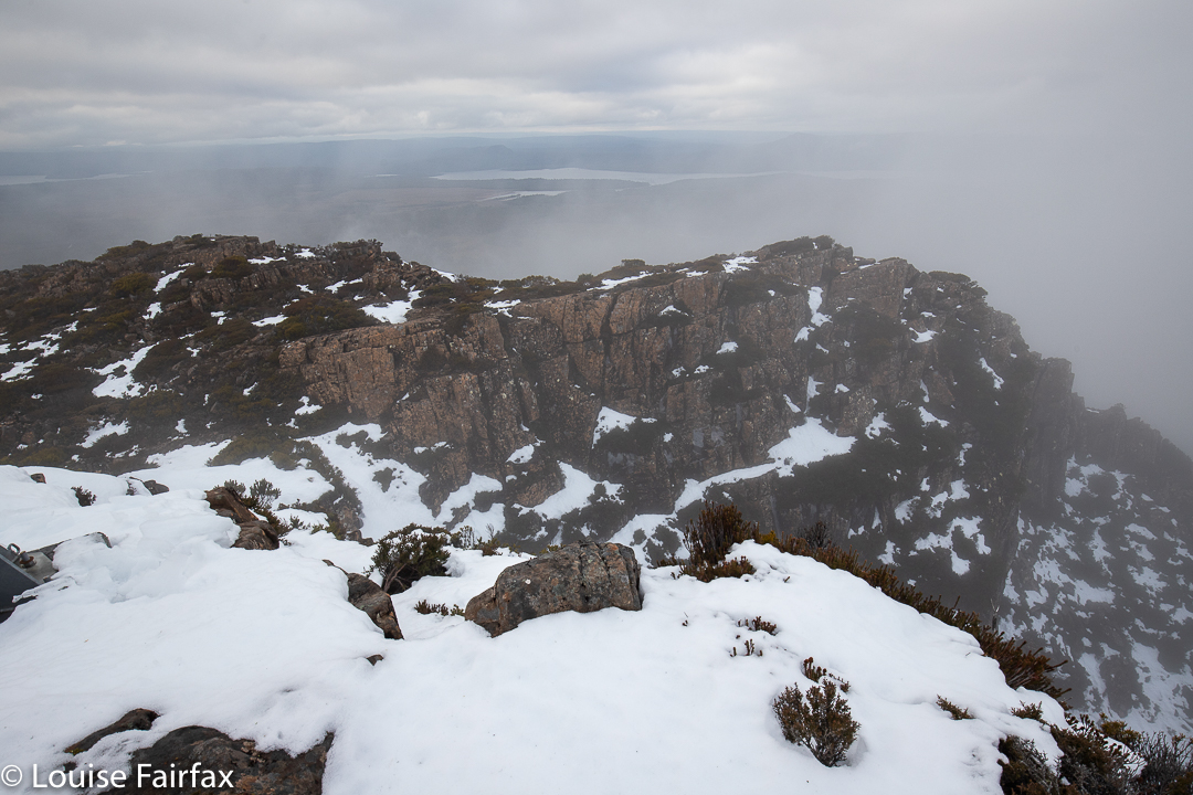
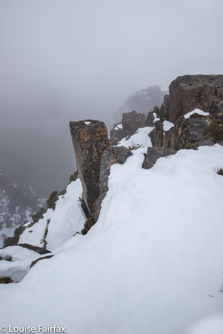
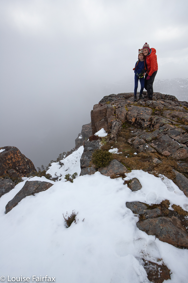
The pictures tell you of the extreme beauty we experienced that day. How incredible it was that right below us, admittedly nearly 1300 metres below, was the capital city of our state. We could see not only the city buildings and ocean, but even the sand of its beaches. But we were up above the clouds in a land of white (and blue). It felt like we’d accidentally arrived in heaven.
I love traversing Ranges, and the Badgers Range of North Tasmania is no exception. In fact, it has been one of the best. We even had to vote on whether or not it was better, or not quite as good as, the famous Striding Edge in the Lake District of England.
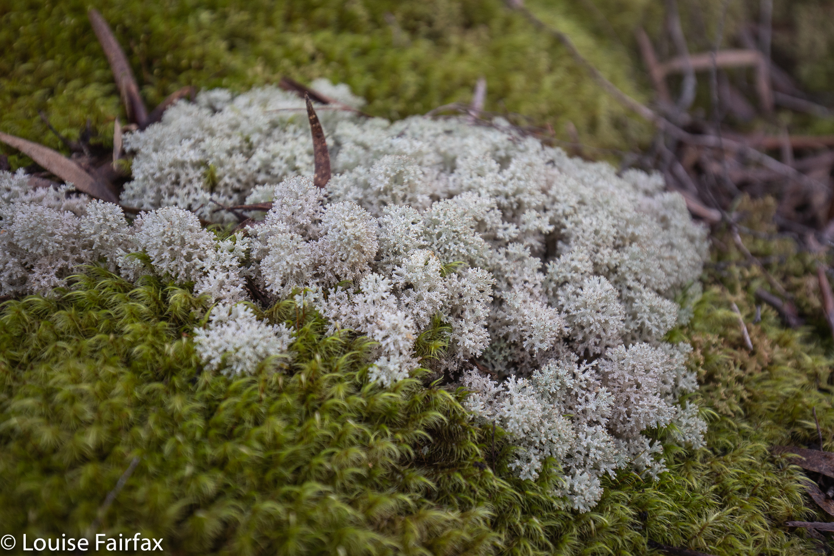
Coral lichen Cladia retiporaMaiares Lookout
I went with my “Wednesday Friends” (yes, only friends on a Wednesday, ha). We met at Sheffield, and drove a few kms along the C150 towards Kimberleys Lookout, where we deposited the passengers, while the drivers proceeded to the northern end of our route, dumped cars and returned to the others in my car. Now the fun could begin. We climbed the steep and delightfully narrow, natural “path” (thank goodness PWS has not been in here to make it a monster of modern scared tourism). There were lots of options, written on quaint hand-written signs of wood. It was fun. We chose the Moss Garden route to Kimberleys Lookout via Maiares Lookout. This day, we also visited Charlies Lookout, Christinas Lookout, Tims Lookout and another nameless one that was one of the best. Maybe they’d run out of people to name. The views didn’t suffer for this fact. There were so many brilliant lookouts I may have well forgotten the name of one (or more) of them. Only Kimberleys has a name on the map.
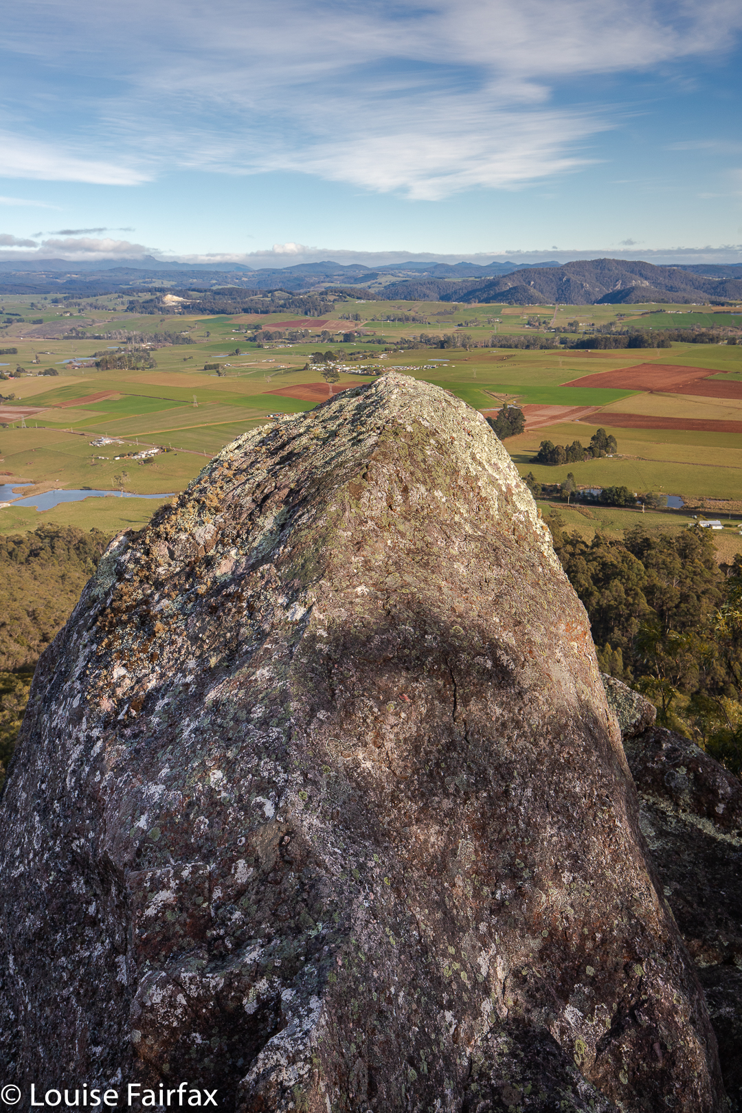
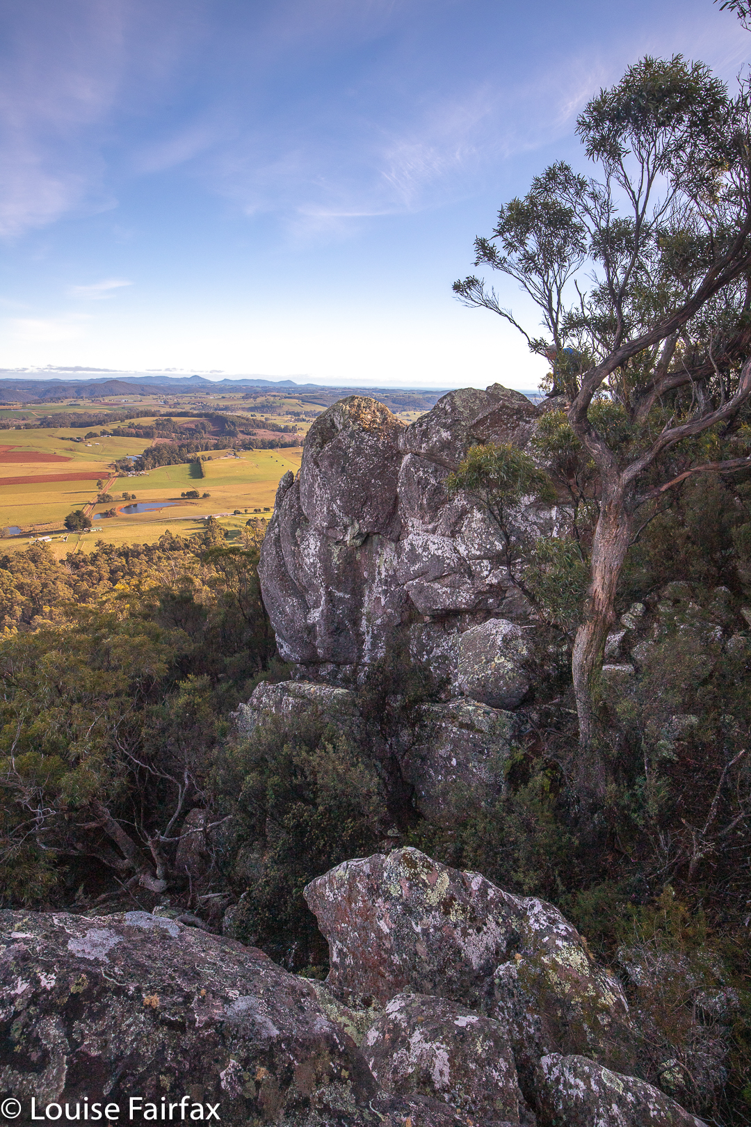
Lookout. Lost count of the names
Once we were finished lookout out, and had gone down and then up to the nameless one, we went even more steeply down (quite a serious descent, this one) to a saddle before climbing just as steeply up the other side to the Badgers Range High Point, where we sat in the sun with monster views to enjoy our lunch. I also explored the labelled “speccy” view off to the east whilst waiting.
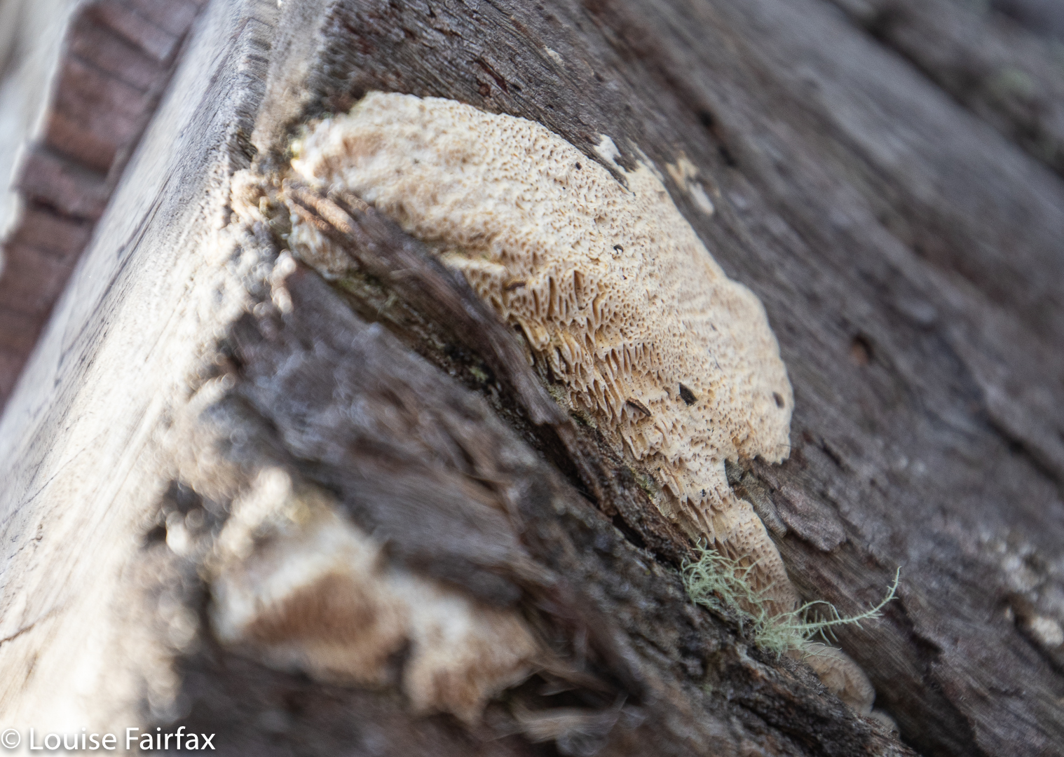
Fascinating resupinate fungus, showing the details of its structure.Badgers Range
There followed another series of lumps and bumps and lookouts and rocky mounds to play on, each with a slightly different, but always enjoyable view.
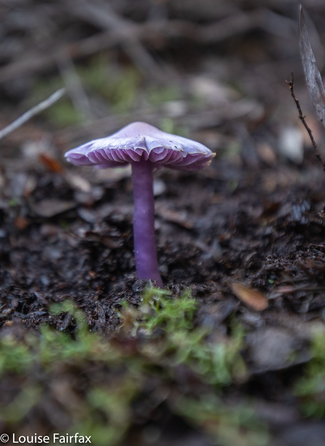
Hygrocybe lewelliniae
It was a fabulous walk, and there were even fungi for me to find (and pink and white Epacris blooms). Unfortunately, I didn’t have my macro lens with me, not actually expecting to see any fungi, so sorry about the reduced quality that comes of using a wide-angle, landscape lens on something so fine and delicate.
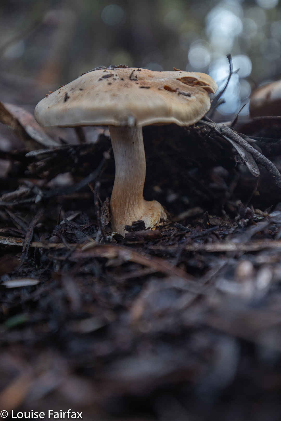
Cortinarius ‘buff with lilac gills’
We covered 9.14 kms of horizontal movement, with 700ms of climb, yielding 16 kilometre equivalents. If your situation doesn’t allow for a car shuffle (which will be my lot the next time I visit), then a lovely walk can still be done, going out and back, choosing your own turnaround point.
Fabulous light all day
Tonight I will download our route for you. Meanwhile, if you want to do it, just follow the ridge … . There are arrows on the trees, or tapes the whole way anyway, and there is always a pad or path.
I am the sort of person who is always in a rush, trying to squeeze as much life into every second as is possible, often multitasking and too often running late because of both the above.
Burnies Creek Falls 1
Now, because of trying to squash five lives into the space of one, I didn’t allow time for research on these falls: I had heard they were below “the” bridge over Burnies Creek, and that was the sum of my knowledge. Sounds easy enough. I parked beside such a bridge, but could find no waterfall. I thought I had to search harder.
I had received an invitation to join others on this day, and do a hike up Warners track to Adams Peak. These others had arrived, so I told them to set out without me; I would find and photograph these falls and give chase up the incline.
Burnies Creek Falls 3
That was a good idea, except that although I found areas of deep and interesting erosion, my search was devoid of waterfalls. I gave up and set out up the beautiful track, sidelined by fungi now and then, but I eventually caught the others.
Adams Peak summit
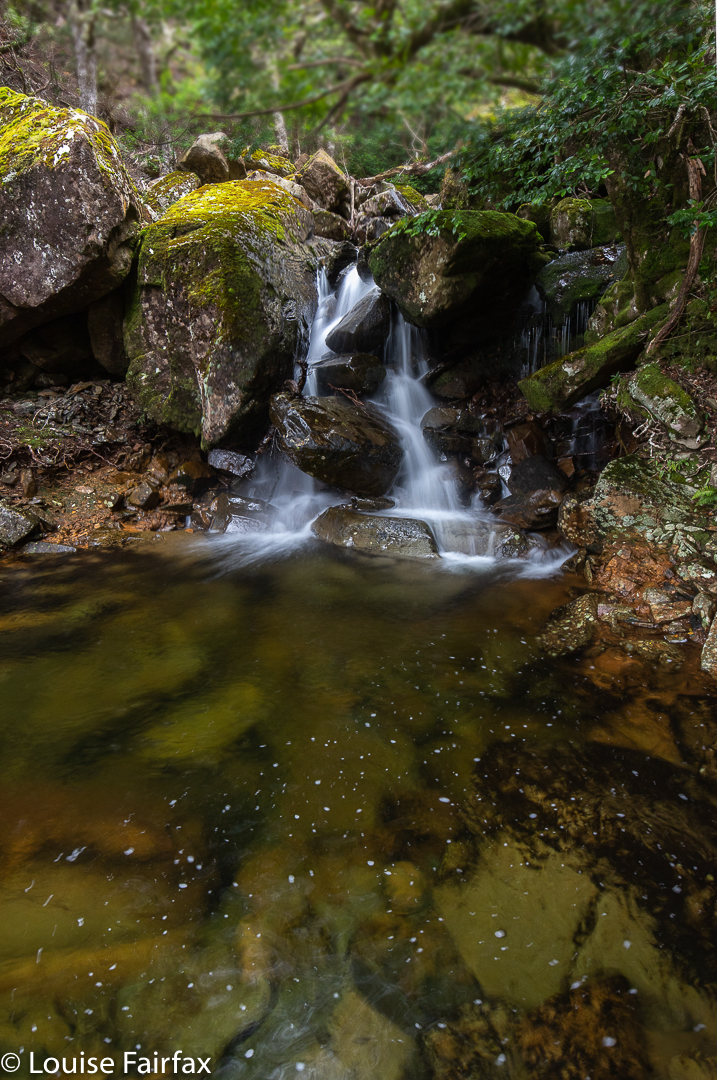
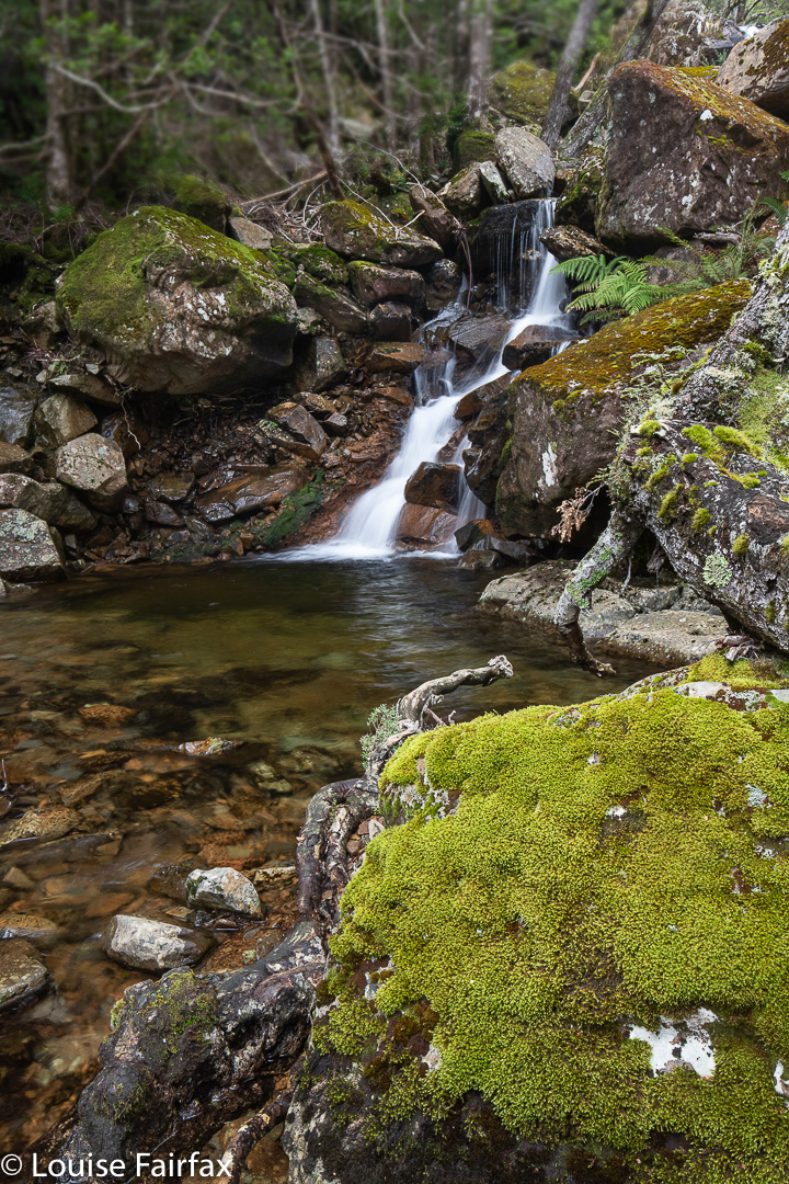
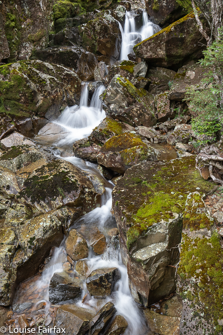
Right near the top, however, there was another bridge, and below it, both waterfalls and a cascade. I photographed three worthy falls plus the cascade.
summit views
Once past the top bridge, the track levelled right out, and the beautiful forest ceded to alpine scrub. Our goal of Adams Peak was clearly visible, and not far away. It was a fairly easy scramble up, and we were rewarded with views that were surprisingly vast. It was amazing what we could see from a climb that seemed inconsequential.
Burnies Creek Cascades
As it was winter with short days and a bit of a chill on top, we didn’t linger too long, and were soon rolling our way down the slope to the cars. It was a good length’s walk for a winter’s day; I was home in time to do a couple of outside jobs and collect wood for the fire before night descended.
We had finished our epic (for us) three-day expedition into Pine Valley with the children only the day before. Surely they would be too tired to go adventuring today – a day that seemed quite gloomy as we sat in the warmth making plans. However, despite the fact that the odds were stacked against us, Kirsten and I suggested with enthusiasm that we do a snow climb of Mt King William 1. Almost unbelievably, the kids said they’d like that. Once more packs got filled with clothes and food and of we set, with the proviso that Abby really shouldn’t try to make the summit. Enough is enough: she is only four, and a very tiny four at that.
Nearing the top
I gave the others a head start, and by the time I caught them, Gus and Abs were deeply involved in a game where Keith gave them points for spotting interesting things while they walked. Abby was trying to gain points for a leaf, but Keith seemed to draw the line there, until she explained it had a hole in it, so he relented and gave her a single point.
Up he climbs
We reached a fallen log which seemed to be raised about 20 cms off the ground. Adults stepped over it; Gussy went around; Abby dived under with ease.
Fun as all this was, we realised we wouldn’t reach the summit if we kept going at this pace, so reluctantly separated, leaving Keith and Abby to continue walking and earning points, while we remaining three tried to give the summit a decent attempt. The first snow was spotted within metres of our surging ahead.
Beautiful snow
The real snow, however, began where the smaller path goes directly up the steep section to the summit. Gussy, in shorts, found that knee deep snow and scratchy bushes were not the most comfortable things to experience, but toughed it out to a more level and open spot with a rock, where we popped thermals on him to help protect his skin (and keep him warmer. Gloves got added at this stage).
Getting nearer
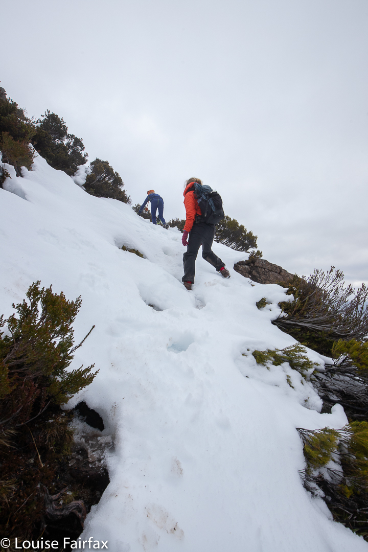
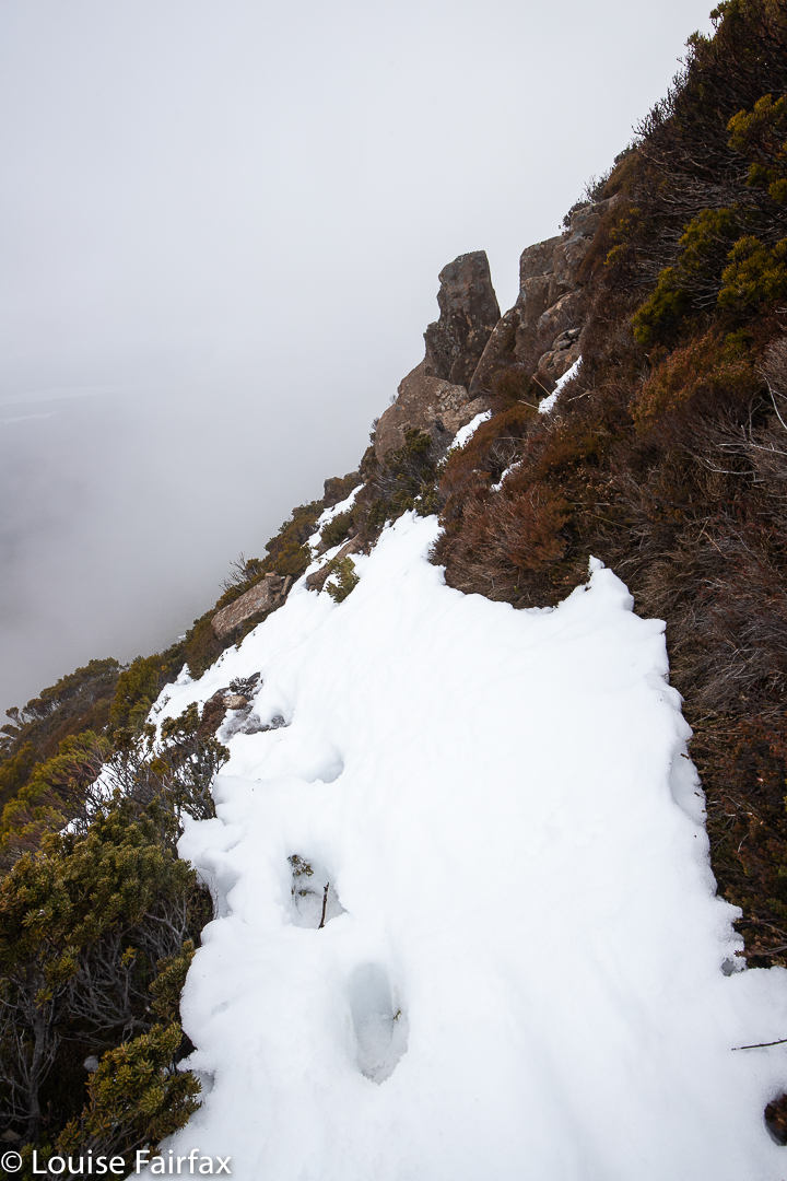
It was good that we did, as the snow got thicker and steeper from then on, with some drop-offs to the side that challenged Gussy’s nerves. On he pressed, however, making great pace for the top.
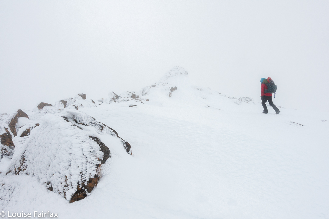
Foggy scenes on top, but I like them like this
Soon enough, we spotted the weather equipment that signalled the summit. Doing it in the snow not only added to the beauty of the scenery, but also enhanced the feeling of having had a great adventure.
More …
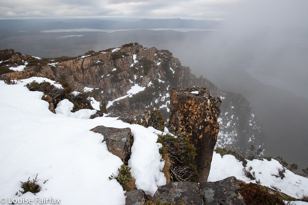
As the wispy clouds floating around us revealed and concealed aspects of the expansive view 500 ms below us of lakes and other mountains, we lingered on top to enjoy all it had to offer, being eventually turned around by a combination of the cold and the knowledge that we’d better at least get the snow part done before darkness descended.
Summit duo
This was another great effort by Gus (8): 10.8 kms with 505 ms climb, to yield 15.85 km equivalents. It was his fourth Abel.
I enjoy summiting in the snow. I need to redo a few more while it lasts.
For the Pine Valley walk of the days before this one, see http://www.natureloverswalks.com/pine-valley-with-children/
When we first bought our home and looked out the window, we saw a mountain that everyone calls Ben Lomond. I can see it clearly enough from my bed to know whether there’s any snow, or whether it’s smothered in clouds today, which is kind of handy. Years later, I learned that ‘Ben Lomond’ refers to the whole high plateau; the actual highest point on that overall rather flat but high massif – indeed, the second highest point in all Tasmania – is called Legges Tor, a lump higher than the rest perched above the small skiing area.
Legges Tor summit view, Ben Lomond
To stand atop Legges Tor in summer, is to survey a high, windswept plain, rocky, almost featureless in its barren expanse of broken dolerite. Other very high points are only just visible in the distance, and their shapes do not demand your attention. This is very different from being, say, in the dramatic Western Arthurs, but with your hair blowing in your face, and a chill in the air, you can see for great distances, and the emptiness – the sheer volume of negative space – somehow enlivens your senses and makes you feel fresh and refreshed. Dolerite rocks with their patterns of lichen and tough little alpine bushes earn your respect for their ability to inhabit this inhospitable zone. It is not crowded up there, to put it mildly, adding to the sense of desolation that is characteristic of being there: you feel tiny in the presence of such enormity, which leads to a feeling of the sublime. If you want a ‘Wuthering Heights’ experience, then this is as near as you can get. For me, the only other place that feels the same is Iceland.
Legges Tor winter ascent
There are heaps of lumps and bumps to climb up here, but in this blog, I will concentrate on the ones I have climbed in the last eight days, namely, Hamilton Crags, Stonjeks Lookout, Whymper Crags, Markham Heights and the Plains of Heaven.
Stonjeks Lookout from Hamilton Crags (a selfie ha ha)
Hamilton Crags pose little mystery for me, as I have ceased to tally the number of times I have visited the top (not that I’m sick of it). Summitting yet again was just something to be done on the way to Stonjeks Lookout. Now, this WAS fun. What an impressive-looking bunch of congregated rocks, pointing to the sky and offering their challenge.
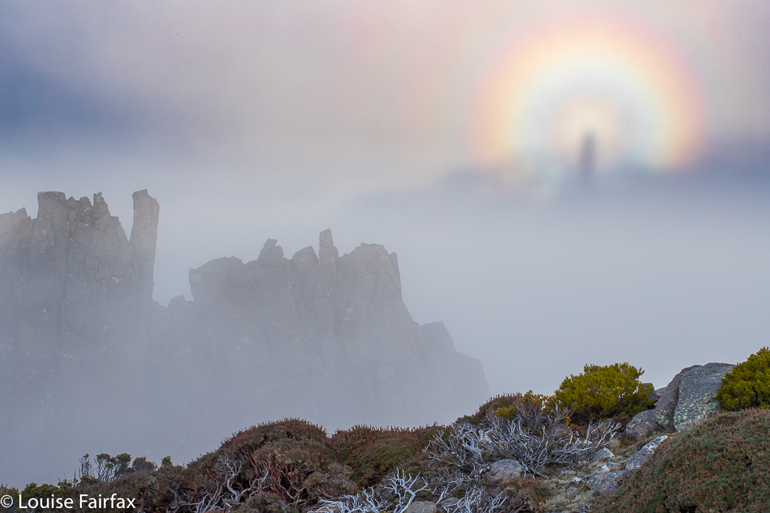
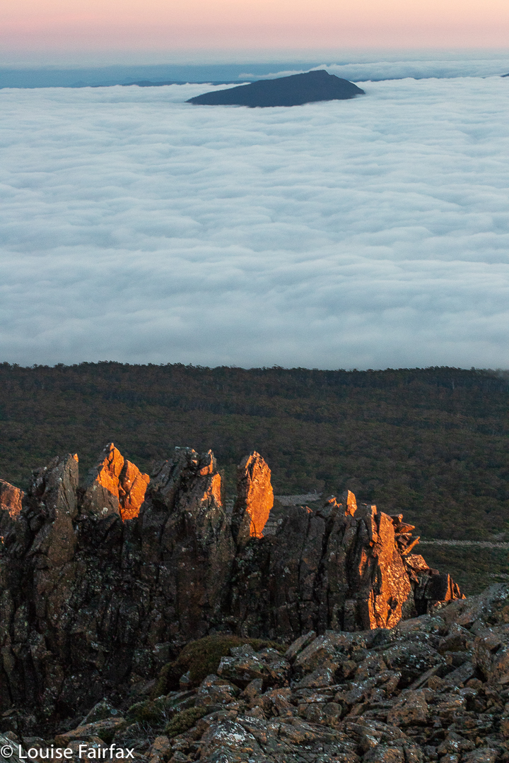
Stonjeks Lookout catching the sun
It seems that Tony Stonjek, after whom they are named, was also oriented to reach for the sky. He was a champion skier who had represented the Czech Republic (then called Czechoslovakia), and who arrived in Australia as a refugee after the war. As a child, he skied to school, skied down the 150 steps of his church, and skied across the Polish border to pinch wood. He won so many skiing titles in Tasmania that most people lost count. The rocks have added spice if you familiarise yourself with his history. They are demanding and fun.
The third item on that day’s agenda was Whymper Crags, which are just further along the spur than Hamilton, and which, at their highest point, offer commanding views to the Jacobs Ladder approach to the massif, and to the cliffs that form the lower part of Markham Heights. One sees Whymper Crags every time one drives in, so it’s good to have at last climbed up there.
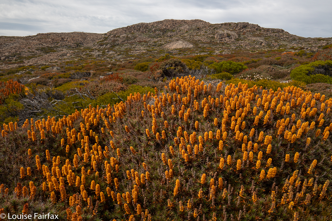
Markham Heights, rear end with bellendena montana (Mountain Rocket) in foreground
One sees a lot of Markham Heights, too, and yet I have never visited them. I decided that today was the day. I didn’t have a clue how long it would take. All would depend on how rough it was along the tops, and whether the scoparia would pose a problem on the approach.
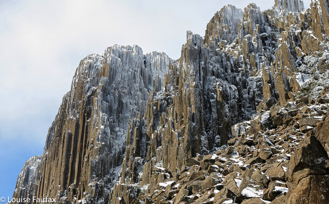
Markham Heights does have interesting angles. (Taken in winter)
Just in case the scoparia was nasty, I decided to use the Legges Tor track to gain the height I needed, and then hive off right when the opportunity looked good for a lead in the direction of Markham. There seemed to be a line of weakness in the marshalled defences of the scoparia slightly before the highest part of the broad spur heading in its direction, so I took it, figuring if I was wrong, I could climb higher later. Markham Heights did not lie on this particular spur: it was just a kind of feeder.
Scoparia near Markham Heights summit
There were appealing little lanes of Pineapple grass and other low-lying alpine vegetation so I could make handy forward progress: handy, but not speedy. Predictable at the height of 1500 ms, the wind was quite strong (this is February, but I had two Icebreaker layers, two coats and two hoods over my head), and it kept blowing my hair into my eyes. One had to search for the leads: they didn’t yell their welcome at me, so I zigged and zagged about the place, avoiding prickles, and eventually found myself reaching the summit one hour after leaving the car.
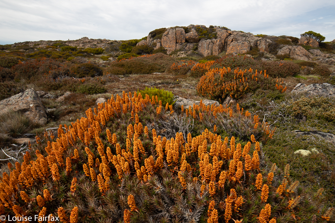
Scoparia in bloom – and it’s 22nd January!!
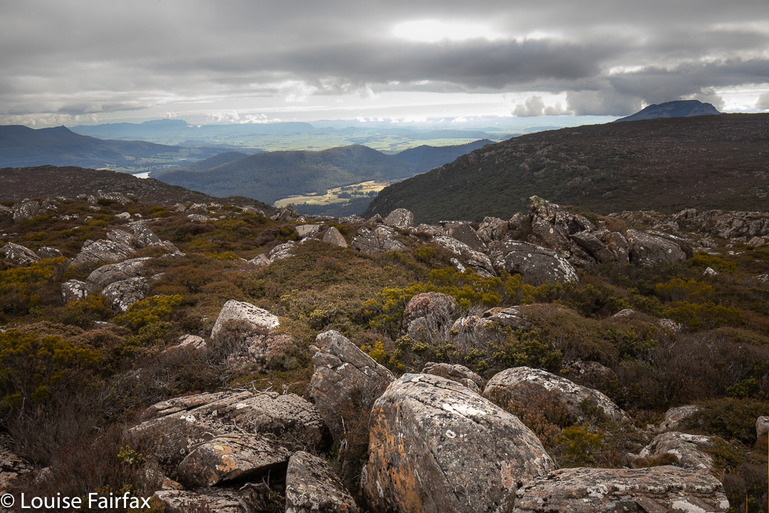
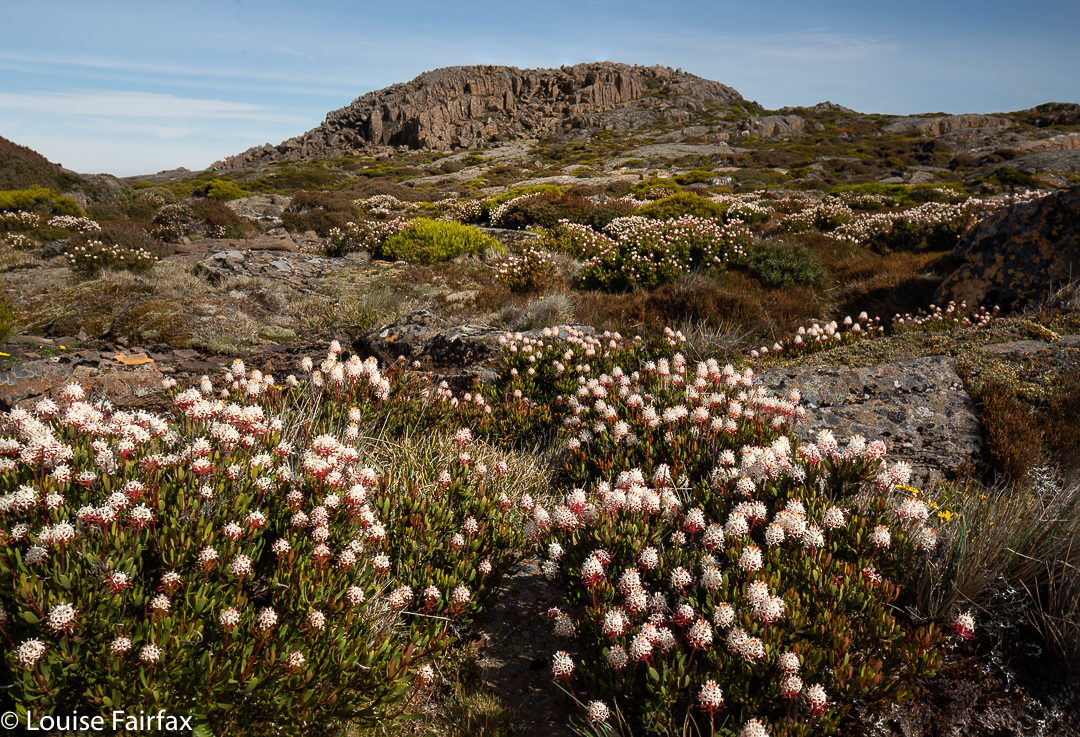
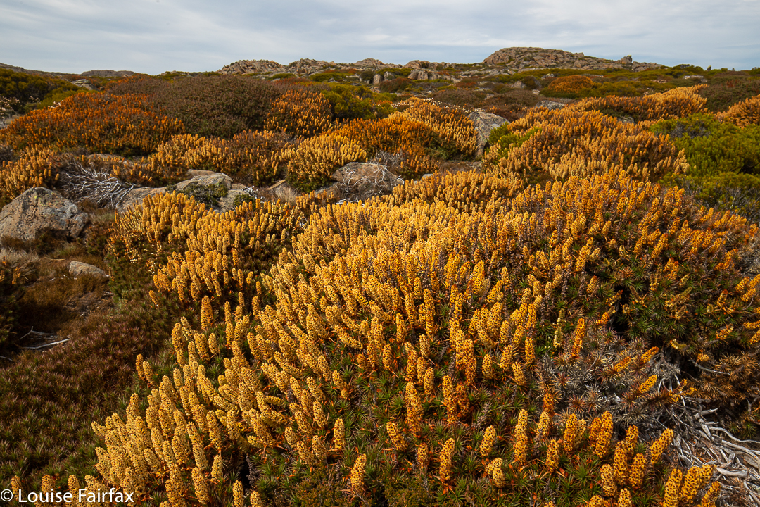
I was enjoying being up there, and so also visited the next lump along to the west, which is nameless, but which stands at 1534 ms asl. It had a cairn that had called me over. For my return route, I decided to use the spur that ran parallel to the valley I had come by. What a terrific fluke of a decision that was. This area is magic. The scoparia had been surprisingly good for this time of year, but on that spur, it was amazing, especially with the added colour from the flowing bellendena montana. Daisies and other flowers were also out. The walking was even easy, as the scoparia was a little thinner on the ground, and there were huge cushion plants as well. As usual, the were countless mounds of wombat poo but no wombats. Three wallabies hopped away, but that was all.
More scoparia. (No reds or pinks here)
This spur had a cairn at its highest point, so I went and touched it. It was just the world, the wind and me … and all those flowers. What a beautiful place. When I got home and stared more closely at my map, I saw that it was called Plains of Heaven. What a prefect name. I wonder what it looks like when the scoparia bushes are actually in season rather than just popping in here and there for a late show. I’ll let you know eleven months from now.
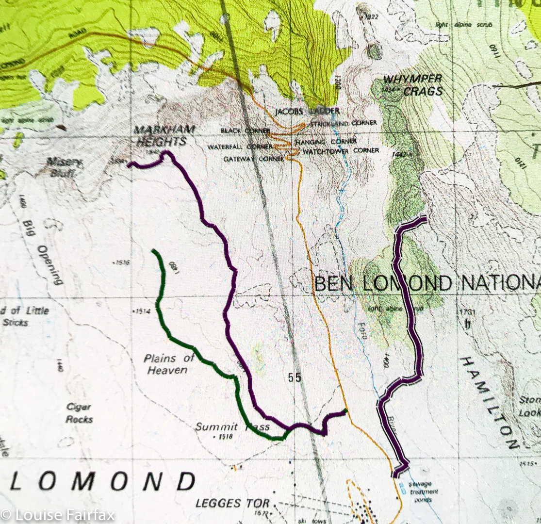
Markham Heights route
Above are three routes: far west is part of my route back from Markham Heights (sorry, I bumped the tracker off); middle is my route to Markham heights; far east is part of my route back from Whymper Crags. It only occurred to me part way through the journey that people might like a copy of the route. It all seemed terribly straightforward, but there it is anyway.