
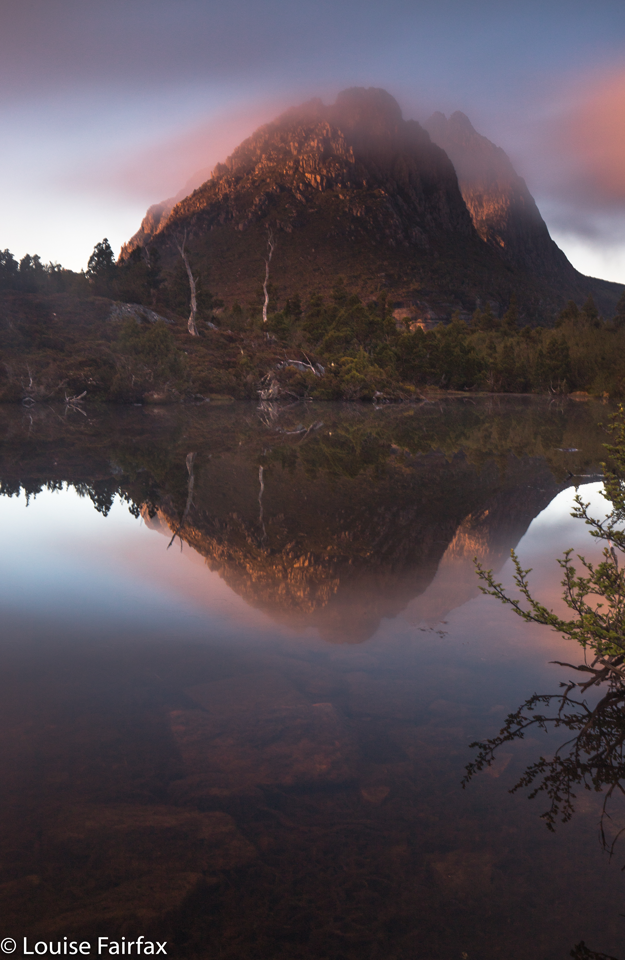
 The forecast was good. I found a kind neighbour to mind my dog. I was off. I was excited … until I found myself at a locked barricade at the start of the Dove Lake Road. I had heard rumours of this, but my head has been in the sand this year. Bang. Reality hit me: We northern Tasmanians have now been officially locked out of our play area. The tourists have priority (although we are the ones whose taxes go to Sparks and Wildfire). I have had so many fun times in this playground – times when Bruce and I would dash up after work, have a picnic tea by the Lake, and then proceed to Waterfall Valley Hut for the night, doing most of the trip in the dark. We loved it: a bygone era, when Tasmanians were allowed to play in their own National Parks. They were also days when the paths were not littered with toilet paper, and our eyes were not assaulted by signs that assume the reader has an IQ of about 50, informing the intruder to hang on, to be careful, to walk in a single direction … pointing out that if we step over a huge cliff, we will surely fall.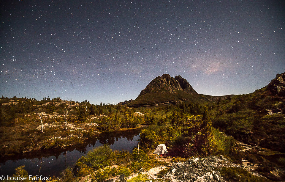
I sat near the barricade for an hour, after which time the precious tourists had finished being shuffled, so many sheep going baa (one guy [unprompted] complained to me that he felt like he was in a factory on a conveyor belt) to the lake, and I was allowed in, hotly pursued by others who wanted access for the evening. Unfortunately, I had camping in mind, so set off at a trot over the hills and far away, over the back of Cradle. Having been locked out, I had to speedwalk in the dark, but that doesn’t matter, as I’m just a local, a faceless nuisance whose needs don’t register on the great desks of the money makers. I also, of course, got to choose my tent spot and to pitch in the dark.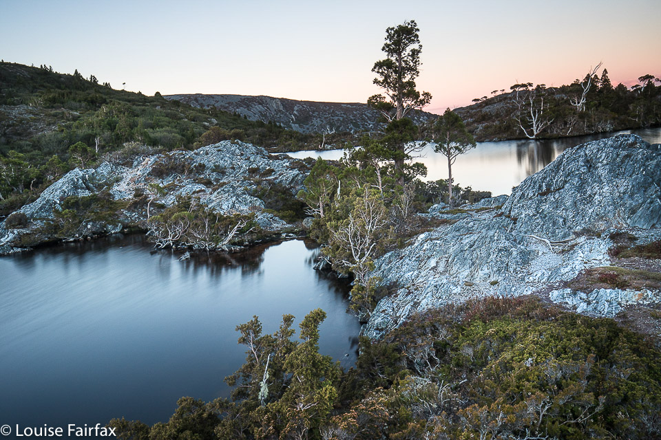
Despite my swearing at Sparks and Wildfire and the government, I did enjoy my evening in the mountains. It was a mild night, and I had fun with a spot of astro photography. Next morning, the scenery made me forget the travesty of the loss of my playground and I delighted in nature’s wonder (lots of photos here) before downing a quick breakfast and getting back out before the busloads began. The Wilderness runs to timetables now. If that is “wilderness”, we need a new word for the real thing that is being denied to us. What a pity these bureaucrats use words they don’t understand. How is it that the fate of all that beauty is in the hands of people who have no personal acquaintance with the object of their edacious decisions?
Scoparia hunting 2018
Scoparia hunting 2018 Dec
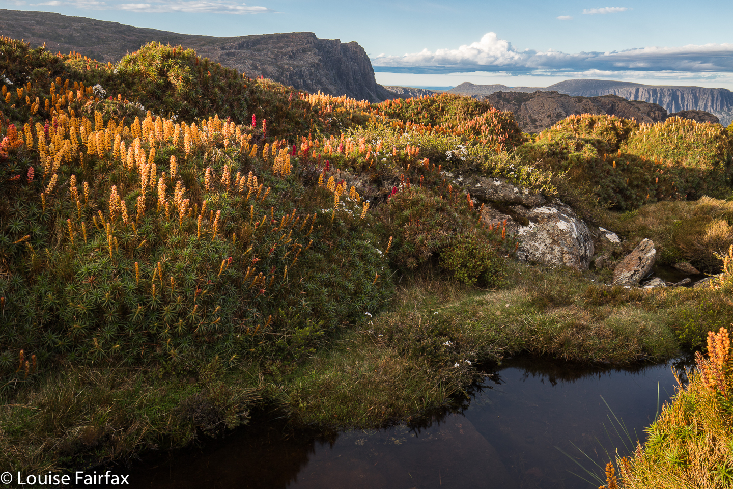 My photo collection for 2018 has a disproportionate number of images of beautiful waterfalls, and a sad shortage of mountains. As I love mountains even more than waterfalls, I decided I’d better use my single chance before Christmas to get myself high and hunt for scoparia while I was at it.
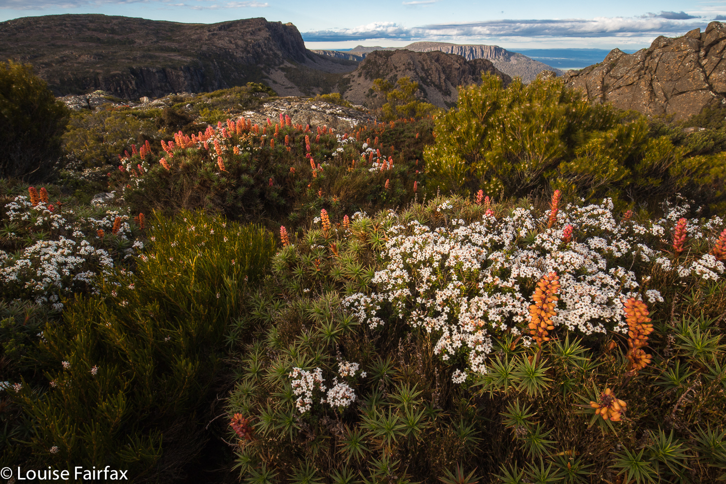 It is now very hard for me to get into the mountains, as Tessa (my dog) misses Bruce as much as I do, so I feel terribly guilty any time I leave her, and most mountains are in National Parks, so she has to miss out. Into the kennel she went in the early afternoon on Monday, and I promised her I’d be back before twenty-four hours had elapsed.
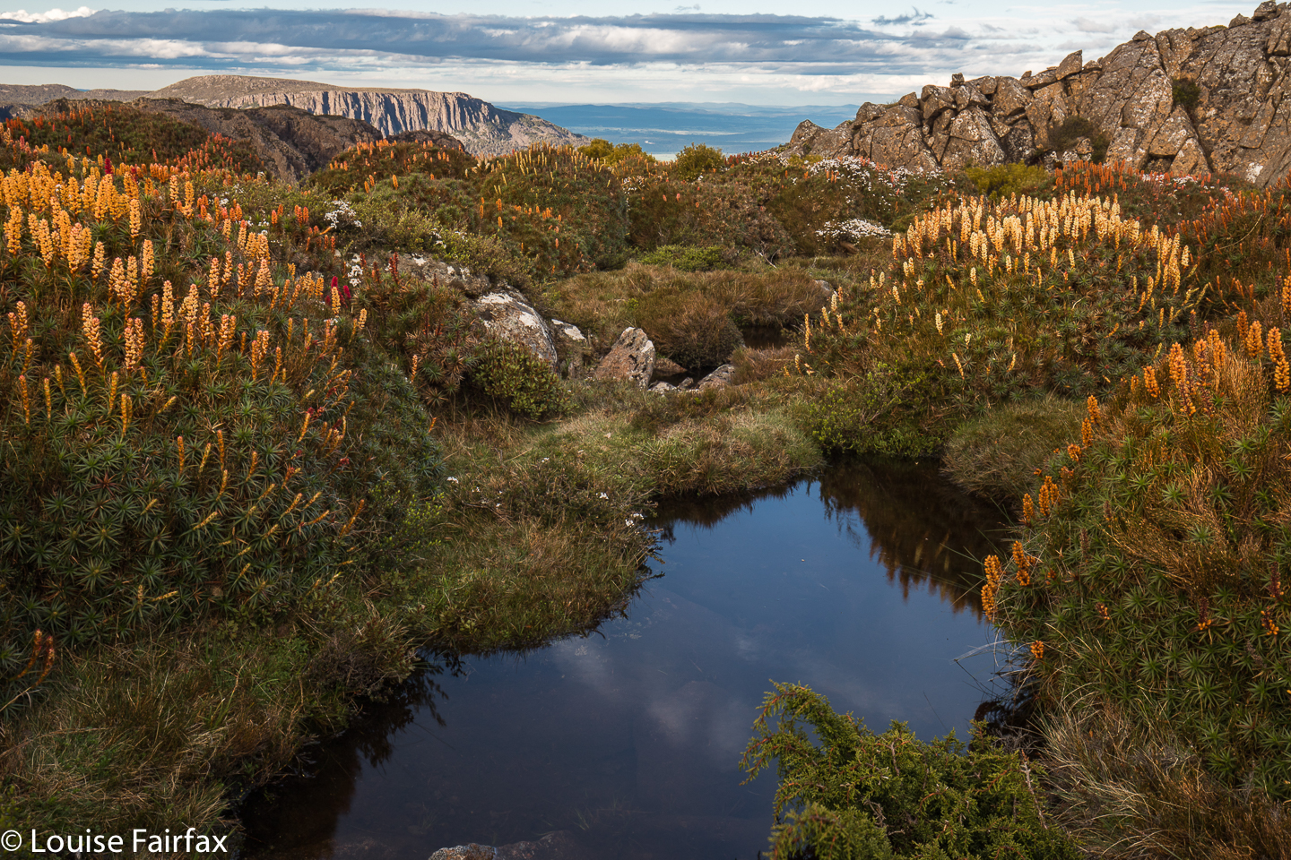 By mid-afternoon I’d parked at the Meander Falls carpark, and was ready to do the climb. Hm. All this waterfall bagging, even though I do it with an 8 kg pack of camera gear, is still no apt practice for a real pack. I guess it doesn’t help that I’ve been laid low with a virus in the last three or more weeks. Every time I run, I take several steps backwards in overall recovery …. and I keep on running.
And so the walk into the actual falls felt unusually steep and lasted far longer than I expected (1 hr 48 instead of under 1 hr 20). I feared the climb up high would take double my 30 minutes of last time (packless), but luckily I was wrong, and it took the same. I was pitching my tent by 5.30, with plenty of time to sort out shooting locations.
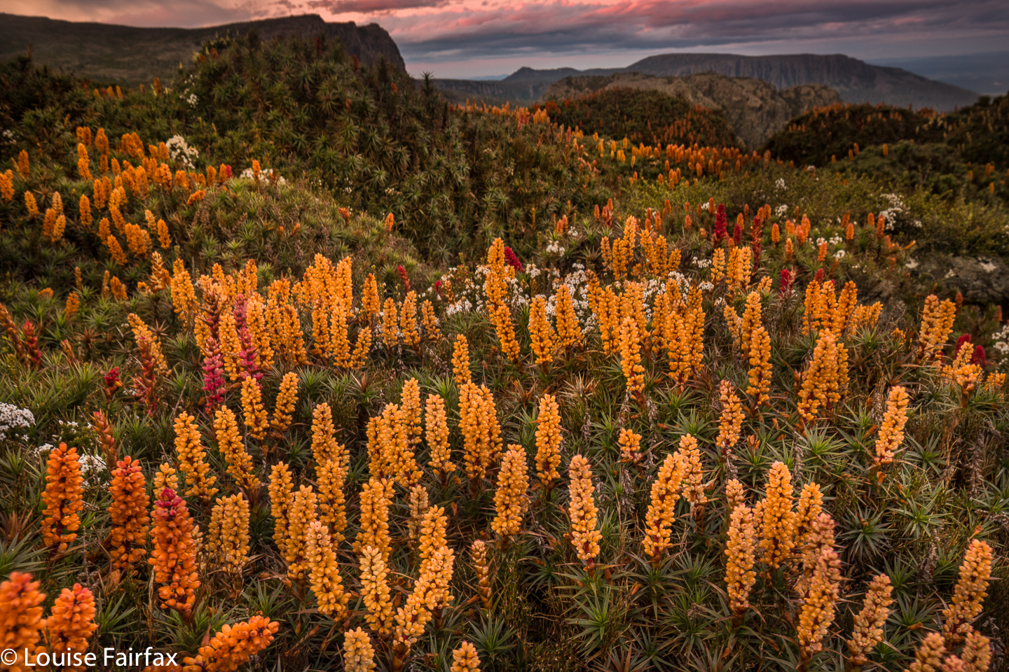 Actually, I took far longer to choose a tent site than to choose anything else. The wind was fierce up there, and I only had my light three-season tent, so I wanted shelter from the west. I keep ducking to the leeward side of scoparia shrubs of a decent size, but the wind just dashed around them. I needed a big clump, or a rock. On and on I went , searching but not finding. In the end, I got a spot bang in the middle of a multi-coloured scoparia thicket, almost completely surrounded by water, and, well, the shelter was about as good as it was going to get. And now that it was time to pitch, it started raining lightly. The wind picked up. The clouds amassed. So much for photography.
 Pitching was a challenge in that wind. I haven’t pitched this little tent before in anything but ideal conditions. Every time I attached the fly to one side and dashed around to attach it to the other, the wind whipped it up and threatened to send it back down to Meander Falls. I decided it was lucky it was only 5.30. If that happened, I could still easily retreat with safety, even if not with dignity. Somehow I broke the rotten cycle, and she was up, and the inside hadn’t got too wet with all my bumbling.
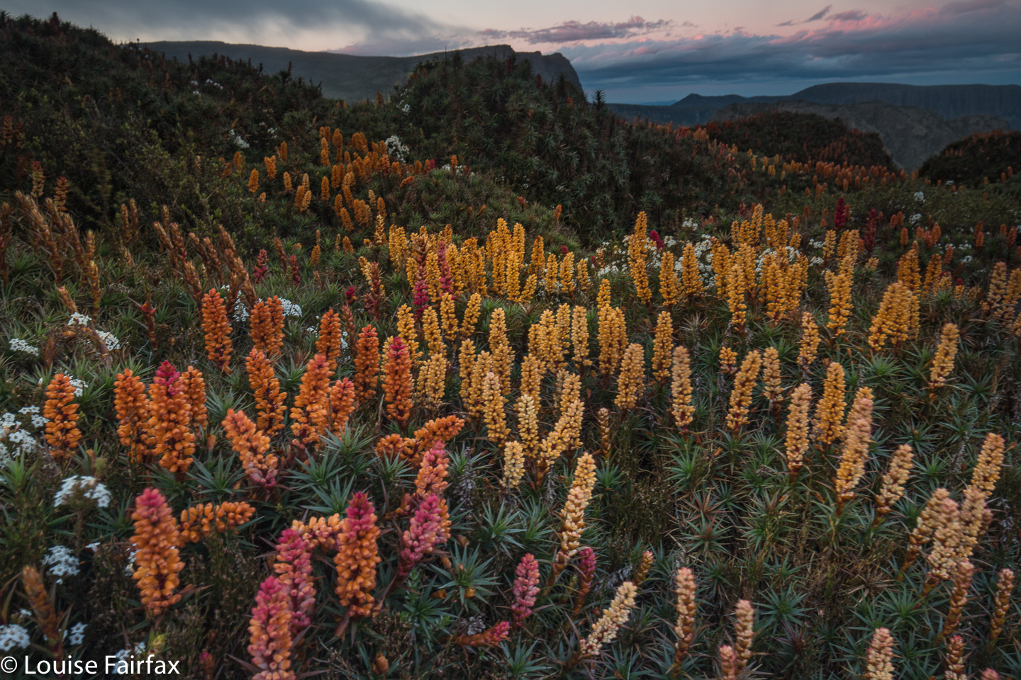 It was not good lighting for photography, but I feared it was as good as it was going to get, and I had carried my pack for two and a half hours to be here. I wanted some bang for my buck, so went out and shot anyway. Hm. Problem. The ground was so spongy that the tripod moved during long exposures. Hand held it was, which made using GND filters challenging (as they require longer exposures), so all the early ones have skies that are too light. I thought that was “it” for the night, so retreated to my tent for “dinner”. (The food was NOT a highlight of the trip.)
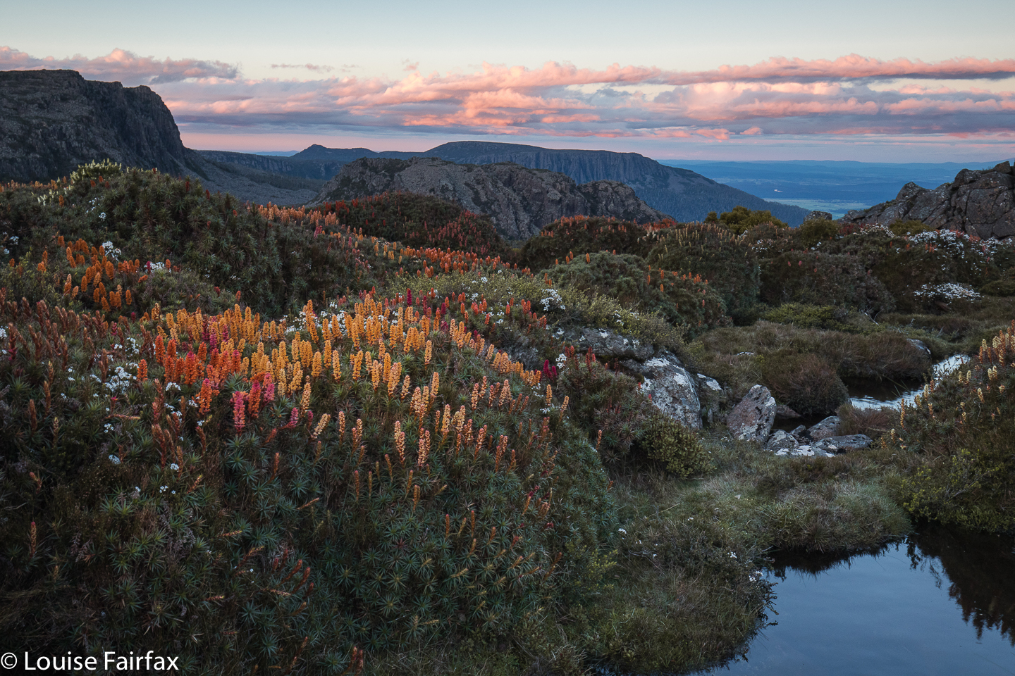
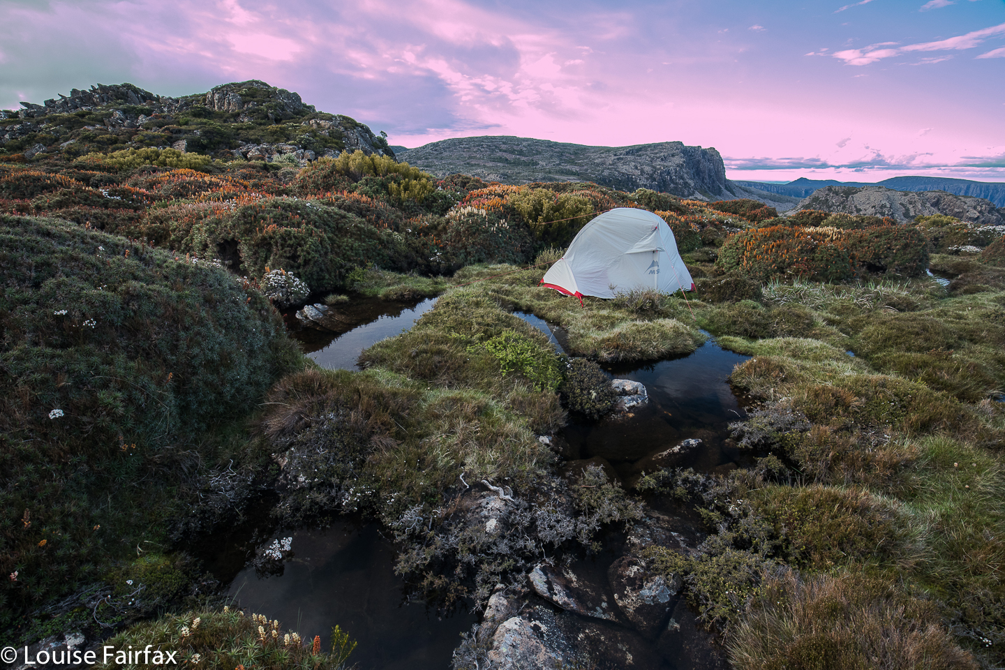 Once when I was in the Western Arthurs and had grey, drizzling weather, I was sitting in my tent sulking at the injustice of it all, facing east, and nearly missed one of the most beautiful sunsets of my entire life. It lasted only maybe five minutes, but the sun found a spot to pierce through the heavy cloud, and illuminated the whole world in pinks and purples of a wonderful hue. I wasn’t going to make that mistake again, so kept checking for the possibility of a sunset. Proper sulks are not a good idea. Luck was with my vigilance. For about five minutes, the sky cleared enough to allow golden shafts of light to streak across my field and turn the distant clouds pink. I was almost panicking, as I knew it wouldn’t last. Some shots were hand held, just in case, with monster ISOs, and then I risked long exposures on wobbling, unstable terrain.
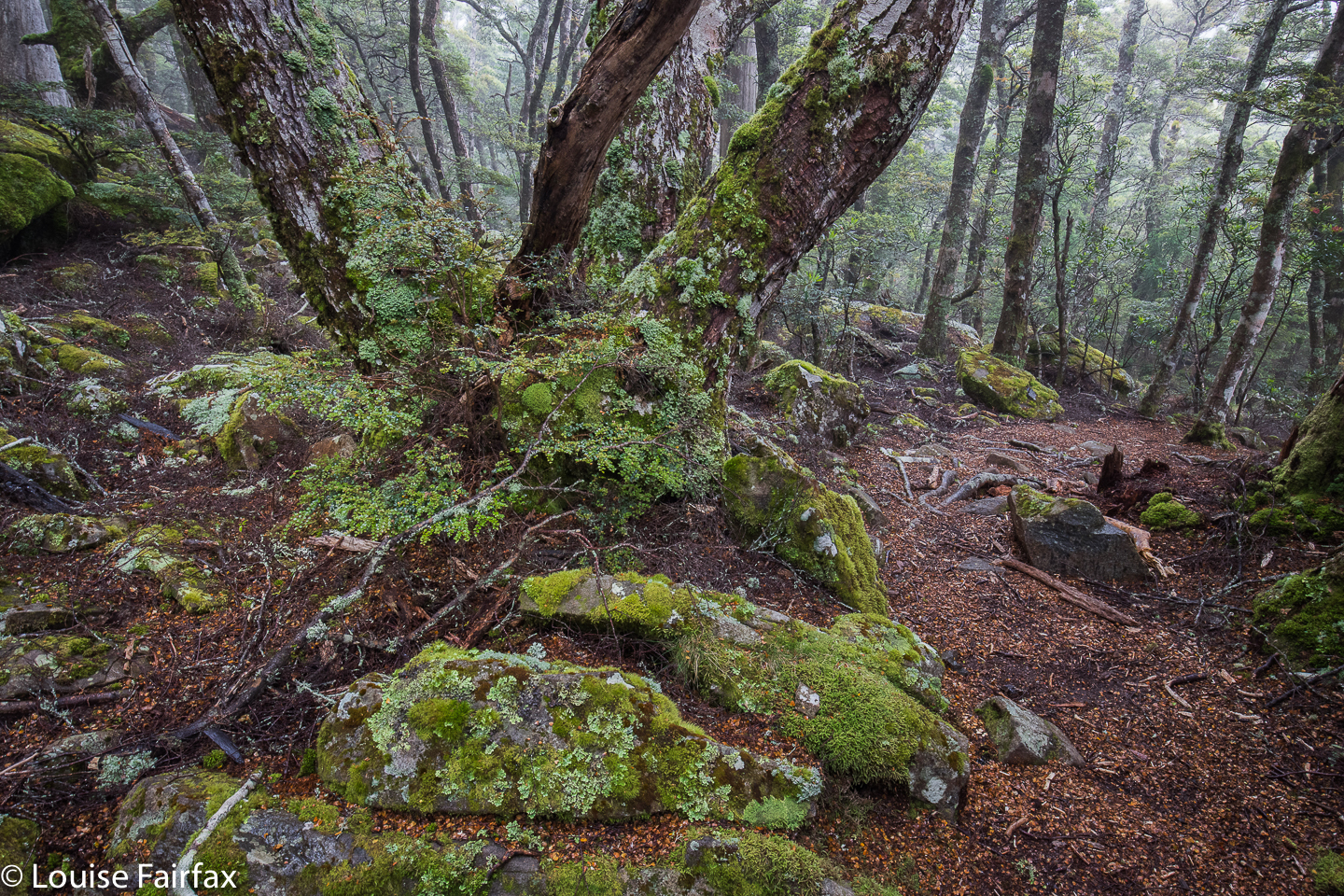
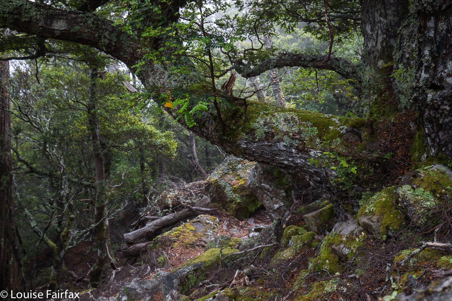 Next day, I was very tired, as I had set my alarm for 4.40 to get the beautiful dawn I’d planned on. The world was dark, dull, fuscous. Reset the alarm for 5.10. The world was still utterly uninviting. Set the alarm for 5.30. As you can see, i was scared of dozing off and missing out should something eventuate. It didn’t. At 6 o’clock I breakfasted in the rain, on a day on which BoM had promised none, and then depitched my home, trying not to get things too wet. I am much faster and more efficient using my Hilleberg in the rain, but I had been promised none, so brought the lighter MSR. Oh well. Climbing down the steep rock scree now that the moss was slippery and my pack heavier was slow, careful work. I will be well-practised if I get to be a crab at some stage in my future.
 I wasn’t going to photograph Meander Falls, having already done so several times (and not finding it life’s most photogenic waterfall), but it was flowing so much stronger than I have ever seen it do that I decided I needed to. Besides, my arms were actually weary from all the four-points-of-contact work I’d just done lowering myself down the cliffs. The waterfall made a nice excuse to rest a bit before I continued on the wide tourist track to the car. I picked Tessa up before lunch, as promised. She yelped and danced and sang and bounced. What a greeting. I promised them I wouldn’t stay away three years next time.
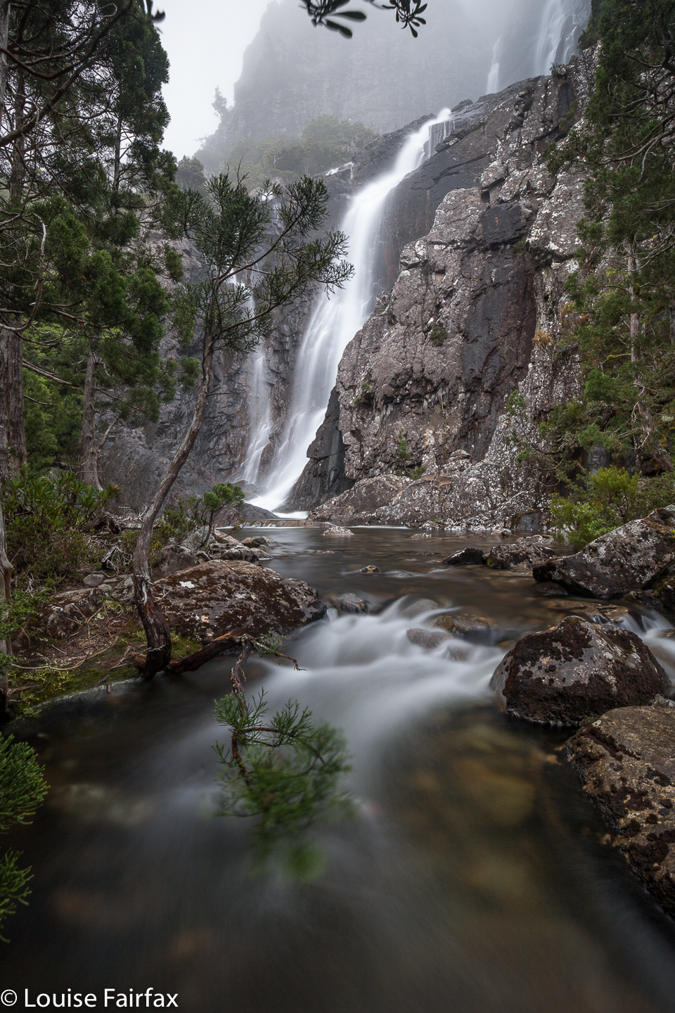
Meander Falls.
Cathedral Rock 2018 Nov
Cathedral Rock Nov 2018
A good stride-out up Cathedral Rock is a very pleasant slice of exercise, and I decided to indulge. I was down south for two days, so thought I would use my location to see what could be seen from the top of this vantage point. I chose the Betts Track, starting from near Neika.
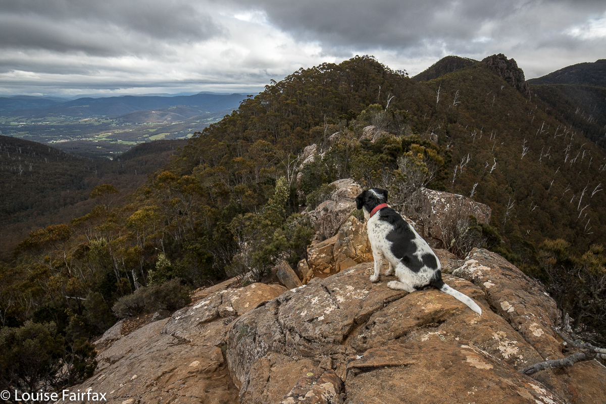 As my heavy camera equipment was bulging my backpack, I had to walk briskly rather than run. And because I didn’t take all that long to reach the top (1 hr 07 from the carpark to the base of the rock, via Betts Track; 18 more minutes from there to the top, i.e., 1 hr 25 from carpark to top), I added on a return journey to the Mountain River end of the track, which made an excellent diversion, and turned it into a three and three quarter hour ramble. I loved the flat, broad valley after Betts Head, although I didn’t like the way that the Melaleucas were taller than I was, so I walked for quite some time in a tunnel with no view and close walls.
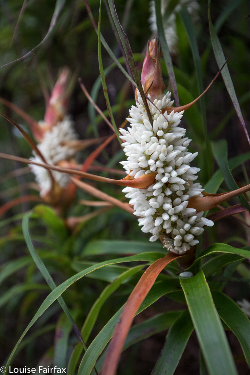
Richea dracophylla up high
The day was murky, so my views were not to die for, and the wind at the top was rather unpleasant, which is why I elected not to progress on to Mt Montague along the tops. I nonetheless felt I’d earned all the wicked things I ate for lunch afterwards at my favourite Daci and Daci. In fact, I seem to have worked up a good appetite, as I also needed pastries from Jackman and McRoss a couple of hours later. In the afternoon, Tessa and I did rounds of the streets of Battery Point, having a wonderful time smelling the roses in other people’s gardens, wafting on clouds of magnificent perfume – quite a civilised end to a wilderness morning.
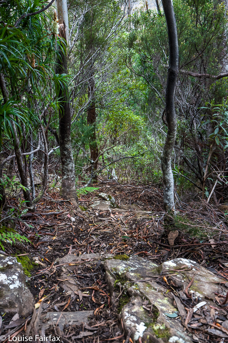
Cathedral Rock – the route down. STEEP.
Bastion Bluff 2018 Nov
Bastion Bluff Nov 2018
 Sue and I sat together on the rocks just over the edge of Bastion Bluff, looking out at the world beyond – a world that encompassed Quamby Bluff and Mother Cummings Peak, although not contained merely by those two peaks; rather, we gazed at infinity. We both felt extremely contented: she had hurt herself crossing a swollen creek and was in pain; I was in a different kind of pain, still mourning the death of my husband, and yet we both felt an inner peace and happiness arising from being in an infinite place. “You know”, she said, ” there’s nowhere else on earth that I would rather be right now.” I knew exactly what she meant.
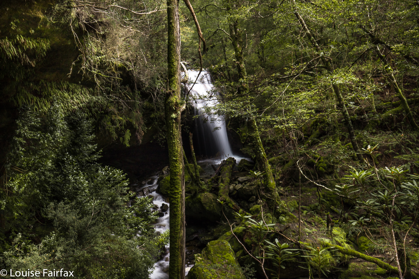
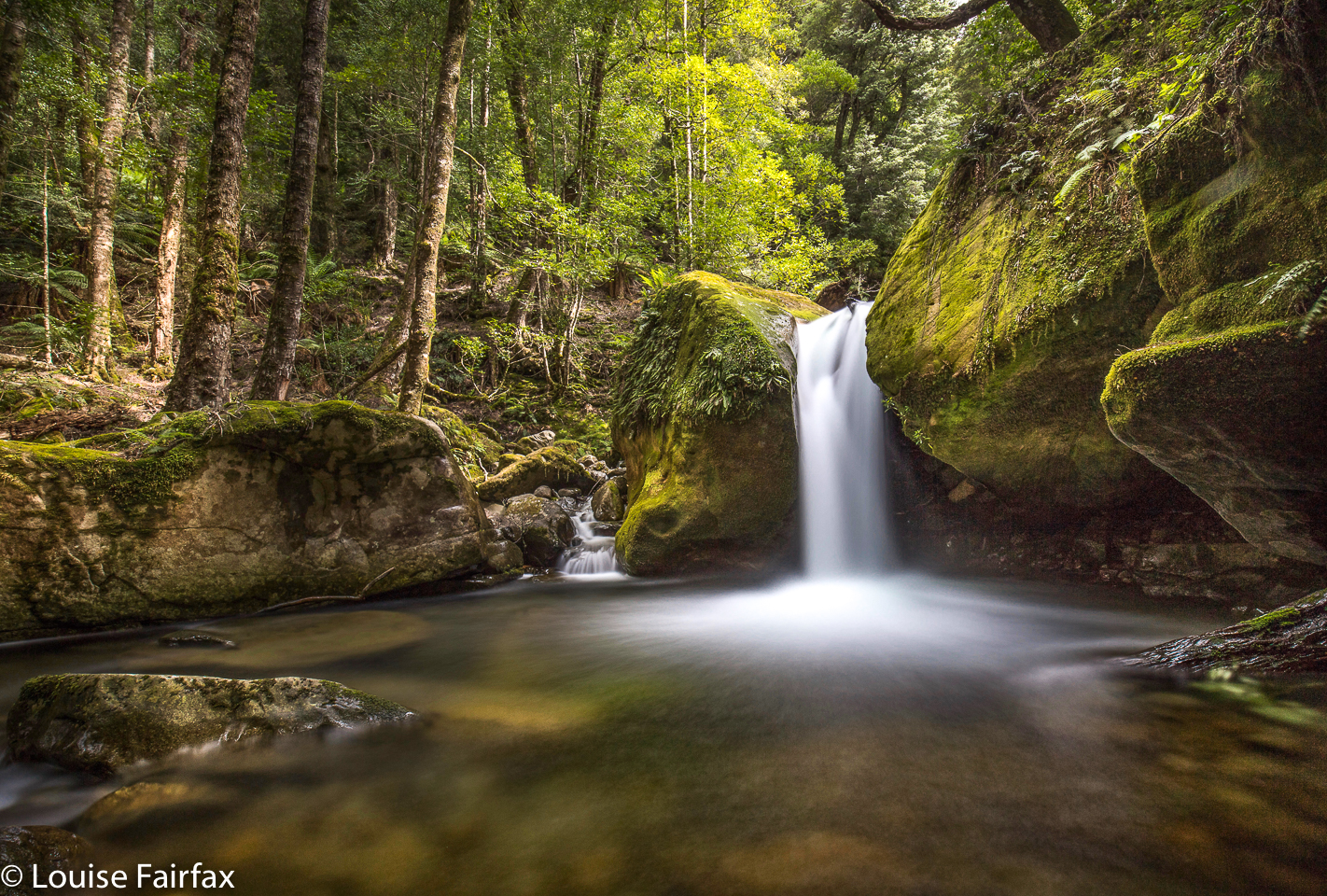 We had had a good day, full of adventure and beauty: a day marked – as is so often the case in Tasmania – by the presence of all four seasons in the space of about ten minutes, repeated several times over. We had crossed very full rivers, witnessed countless cascades and waterfalls, traversed areas of lush moss, myrtles and King Billy pines, emerged into the open to be hit by a snow squall that developed into a blizzard, enjoyed intermittent sunshine, climbed up and down a mountain over 1400 metres in height, and enjoyed the fellowship and companionship of likeminded bushies.
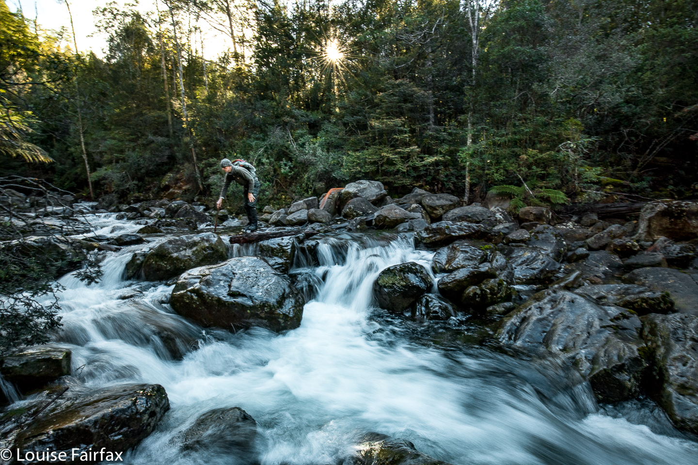
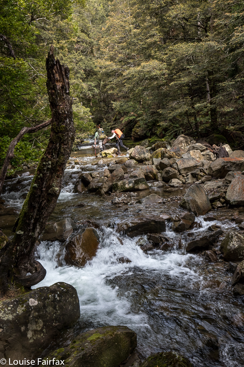 Our route began with a crossing of a disturbingly effervescent Mother Cummings Rivulet, which had all of us assessing pretty exactly which of the shining, most likely slippery, rocks in jumping distance from the last one we were going to commit to. Lucky, we all got across unscathed: a dunking at that early hour of a long day would have been rather tragic.
 When I exercise, I seem to burn through all my supplies of blood sugar rather rapidly, and found I was very hungry by 10.30; positively ravenous by 11.30. Luckily for me, lunch number one of two was called as we emerged from the wonderful rainforest and found a sheltered spot in the now gently falling snow in the saddle before the rocky scramble up Bastion Bluff itself. Beautiful, thick, delicate flakes tickled our noses while we ate, but grew more intense once we began the climb proper and we came into the stronger winds. Now they were horizontally scurrying flakes. We turned our backs to them like a group of penguins any time we had to wait. Be that as it may, the conditions were very tolerable, and I felt snug in my gear, despite wind and snow. Later, when my feet got wet in the very soggy ground on top, I got much colder.
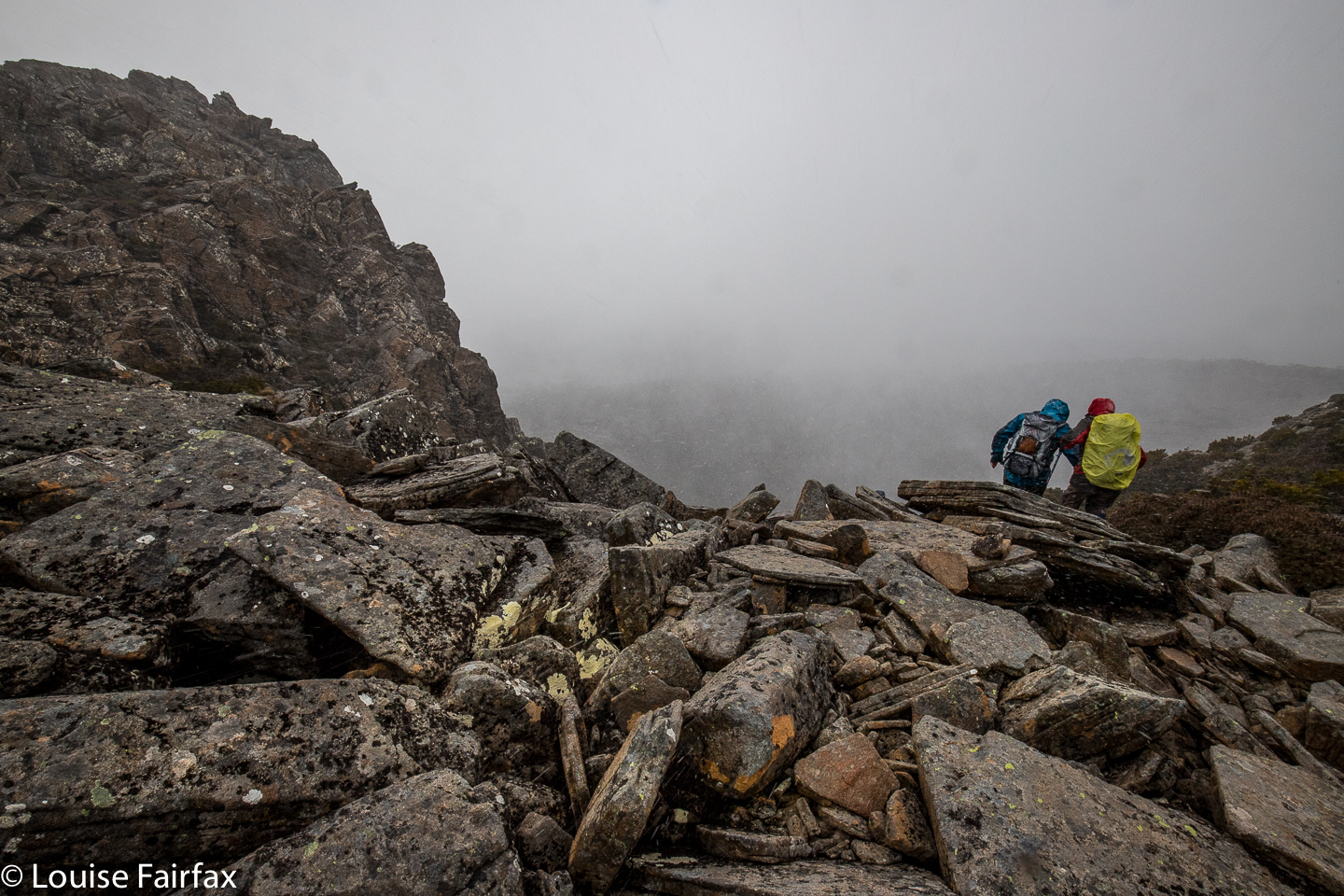
 On the plateau on top, you would certainly not die of thirst. An army could have camped up there, and each tent had its own private pond. Slosh, slosh we went, heading for the summit area and the opening to the descent route, being intermittently gusted by driving snow, and then, suddenly and unexpectedly, walking in sunshine. Repeat many times over. Surrounding mountains appeared and vanished as the mist played its games.
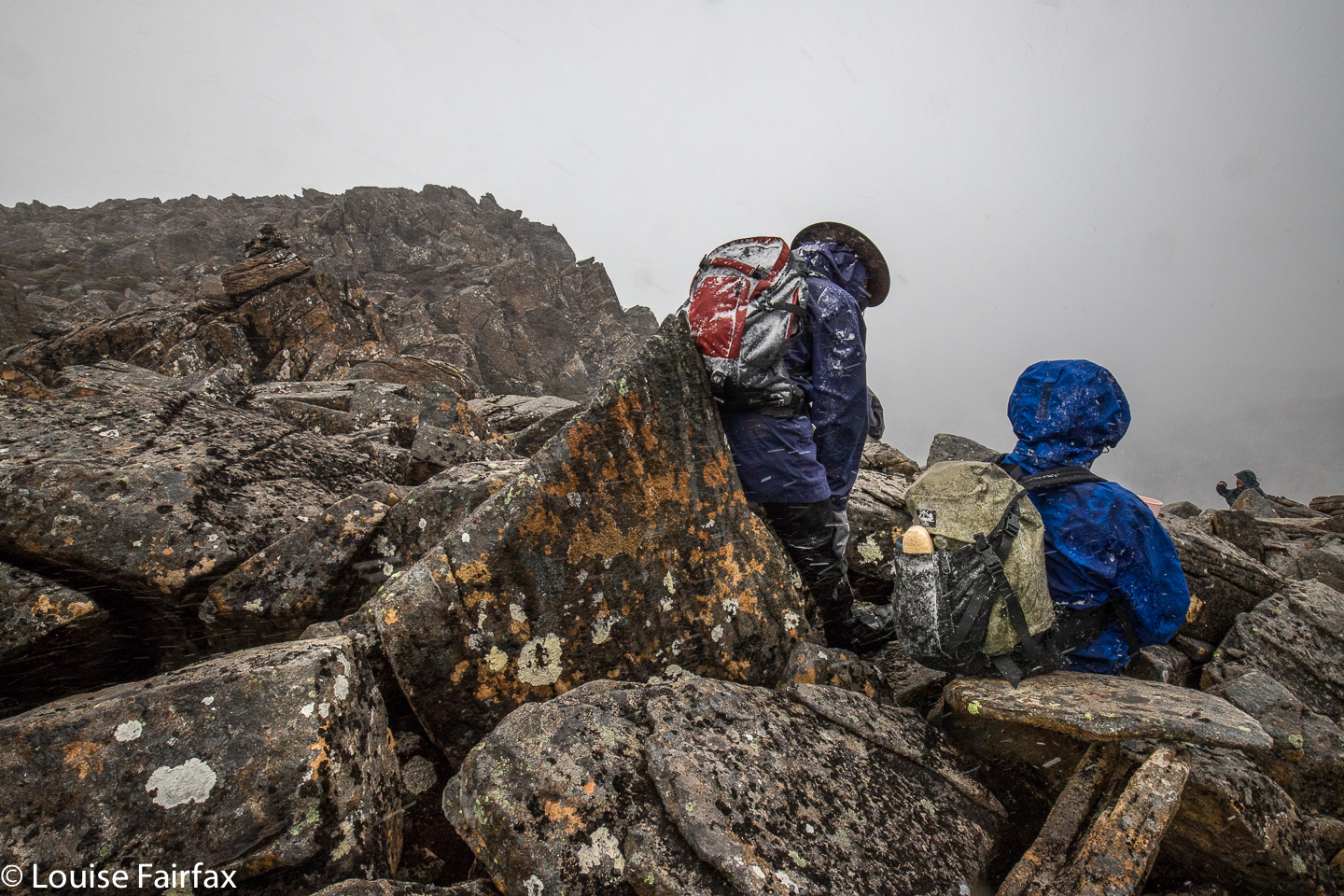 See the snow on the backpack?
Back down in the rainforest, I received a shock. I had been in this area only a couple of weeks ago when Carrie and I went to Bastion Cascades and walked the Bastion circuit. This time, however, there were countless huge trees, freshly blown over (I suspect in Thursday night’s storm), lying across the track and obliterating all signs of the previous track. Each giant had caused an amazing amount of collateral damage as it tumbled. Rubble abounded.
 My dismay has nothing to do with the obstacle course that has replaced the track: rather, it is because these fallings have already allowed a large amount of extra light into the forest. This will damage many fungi, mosses and lichens, and will allow weeds to colonise. The open spaces will also allow winds to build up more momentum next storm, which means even more damage will take place. I fear this marks the beginning of this section of the forest’s decay. However, the forest has been compromised, not destroyed. We finished our day with a sense of how extremely privileged we are to live in a place where such beauty and adventures are so easily obtained. They keep me sane and balanced; they refresh me in a way that non-natural things cannot.
Norman Bluff 2018 Oct
Norman Bluff 31 Oct 2018
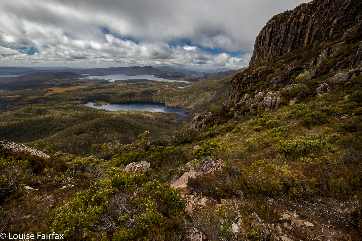
Norman Bluff is a pretty perfect daywalk if you are relatively fit and know how to navigate. It involves glorious off-track, yet easy, alpine walking over the tops of Battle Ridge past Mt King William I. Even with the drive from Launceston (as we had) or Hobart, it is attainable. I am lucky enough to have a group of friends who are sensible enough to clear Wednesdays from their work schedules to go to places like Norman Bluff in the middle of the week. Off we set.
Above: King William I view from near the top to Lake George and the Guelph Basin
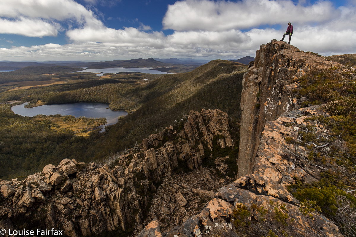 Guelph Lump, Phil, to Lake George, Guelph Basin, Norman Bluff
Our route took us over Mt King William I (steep climb) and “Guelph Lump” (what else are you supposed to call an interesting looking lump that is just before the beginnings of the Guelph River?) to a lump that I dubbed Deposit Lump (as we “deposited” several from our party there, to be picked up on the rebound) and on to our lunch spot, some delightful alpine tarns just before the climb (minimal) to our goal for the day, Norman Bluff itself.
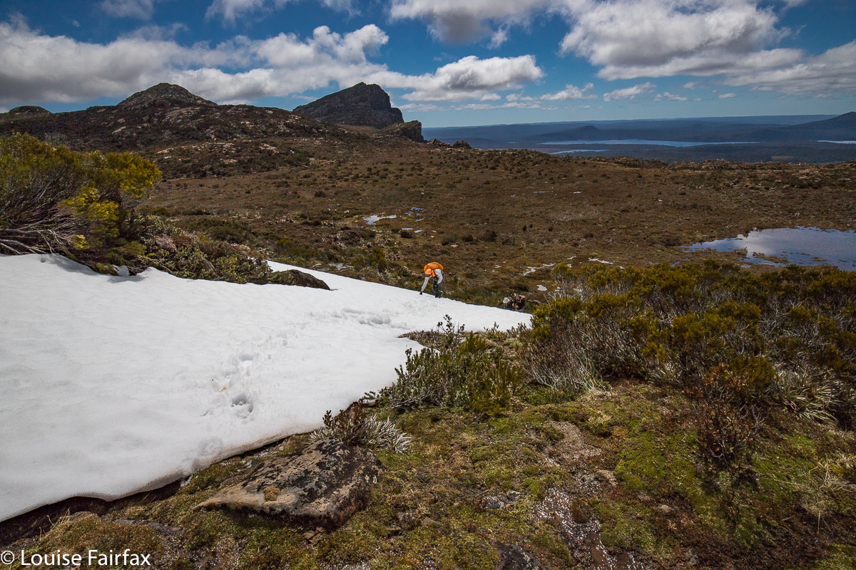 Climbing to Deposit Bluff, Diane (King William I and Mt Pitt behind)
Norman Bluff was actually, truth be told, a bit of an anticlimax. Das Gehen war das Ziel (The ‘going’ was the goal). Not only was Norman Bluff not the ‘enjoyment highpoint’ of the day, it was also not the physical highpoint. Both King William I and the Battle Ridge Highpoint (visited on the rebound) were higher.
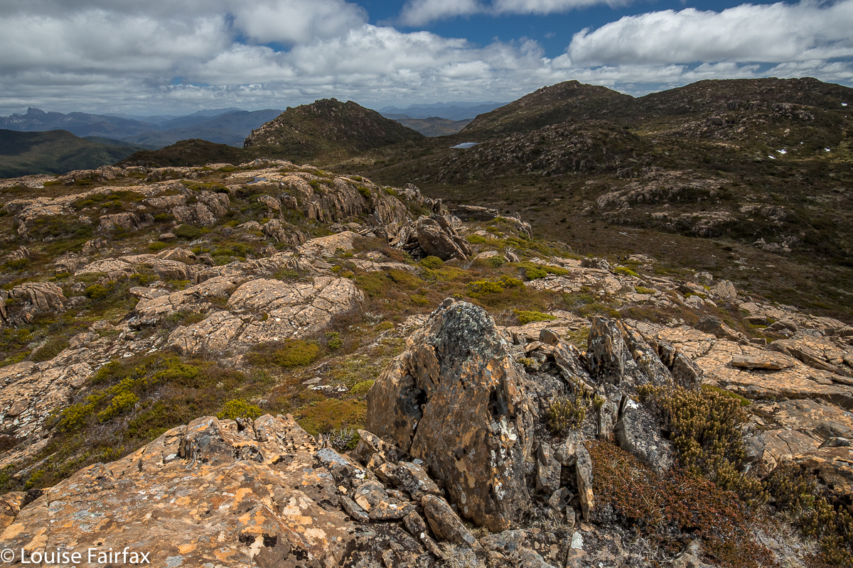 Deposit Bluff to Mt Harold and Milligans Peak. Frenchmans Cap behind left
I am not a lake or tarn bagger. There are just too many in Tasmania, but if I were, I could have ticked off Wessex Tarn, Odo Tarn, Lake George, Lake Vincent, Lake Eva, Lakes Adella and Arlet and the Guelph Basin of Lake King William. I could see Mt Ida, but I don’t think I got a glimpse of Lake St Clair – it was a bit hazy in that direction, or perhaps I wasn’t high enough. I am a waterfall bagger, and Saxon Creek Falls were very clearly visible, but that was not a first-time bag. I nearly died at the hands of that waterfall on our first encounter (2012), when the rock I was standing on shot out from underneath me as I scaled the falls, and I was left dangling uselessly from a tree root with a three-day pack on my back, drenching wet but with nothing for my feet to use, and arms losing their strength with each passing second. Luckily I had just written my will before I left home. The drop below did not bear contemplation. Fortunately, a fast-reacting Rod got my arms and somehow disconnected pack from girl so that I could pull up my own body weight. Phew. I will not forget Saxon Creek Falls in a hurry. Please do not try to tell me they are insignificant just because they don’t have a little blue line over the creek on the map. These matters are utterly arbitrary, and dependent on the will of a bureaucrat in an office somewhere. The drop would have killed me. The climbers below were too small for comfort, with horror written in their bulging eyes. How odd that I had time to notice that detail in what might have been my last few seconds. But this trip was a happier one. I could just wave a jaunty “Hi” across the valley and greet them from a safe distance.
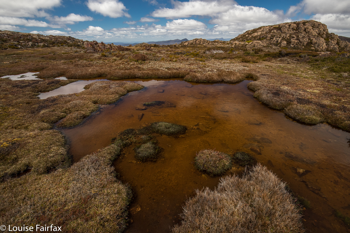 Lunchspot tarns. Norman shelf
The day was a little hazy, but mountain views of the many, many Tassie peaks in our purview were also enjoyable, as was the alpine walking around tiny tarns and intricate pools of pure, clear water, with flowering cushion plants and fruiting pineapple grass at our feet. How lucky we are to live in a place where such thrills are there for a day walk.