Twin Spires 2017 Nov

Twin Spires Nov 2017


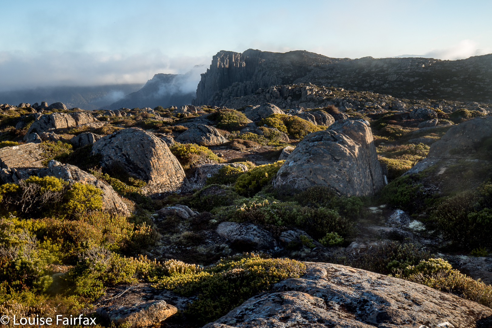
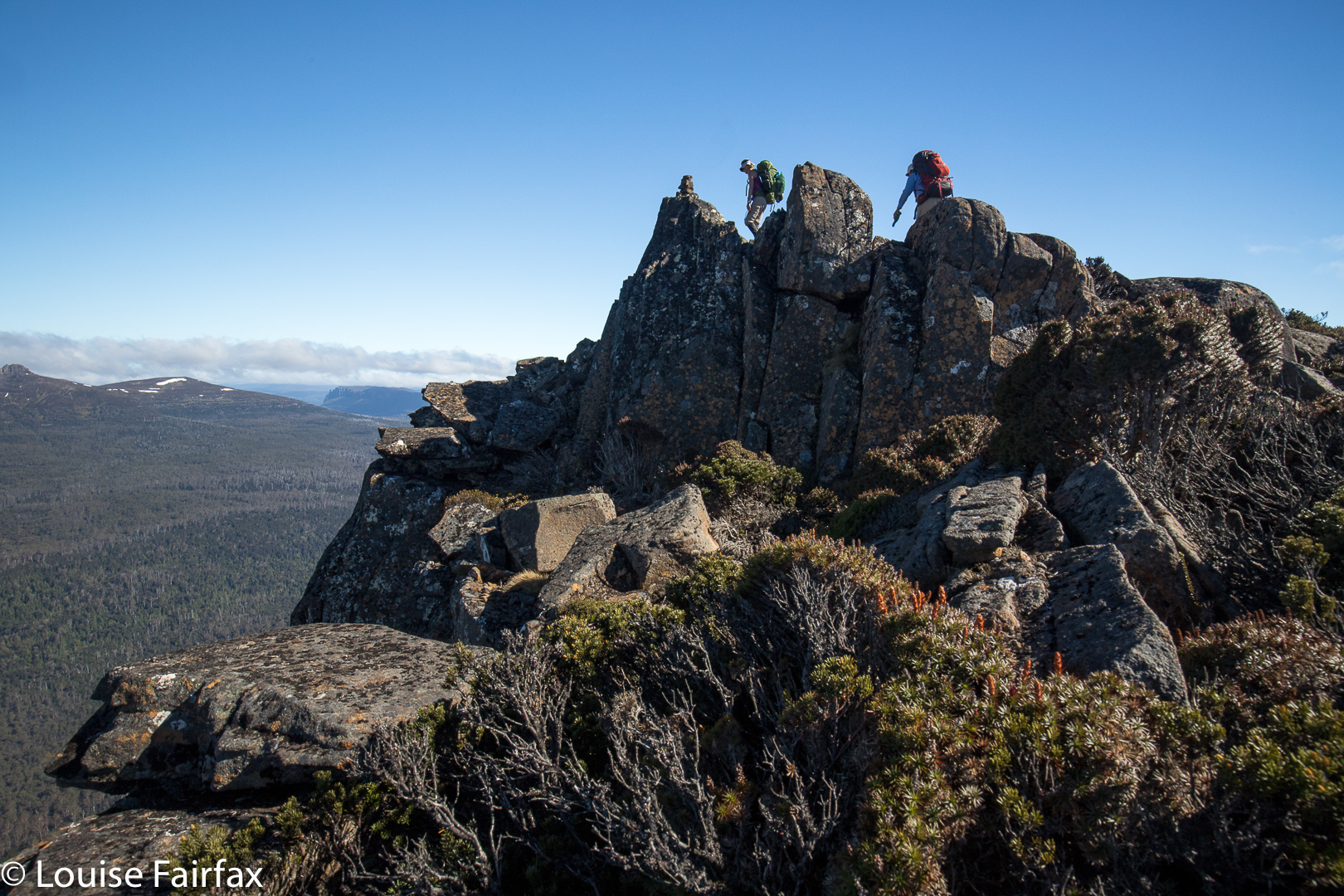
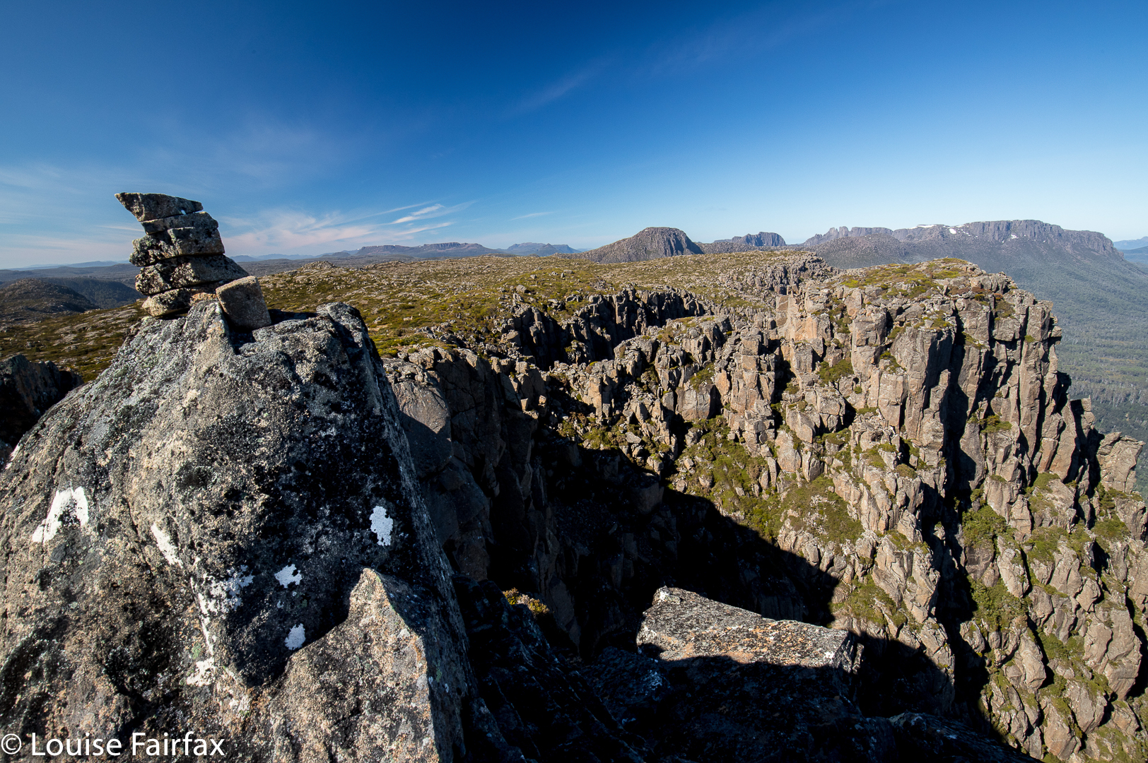
Twin Spires as seen from Cathedral Mountain.
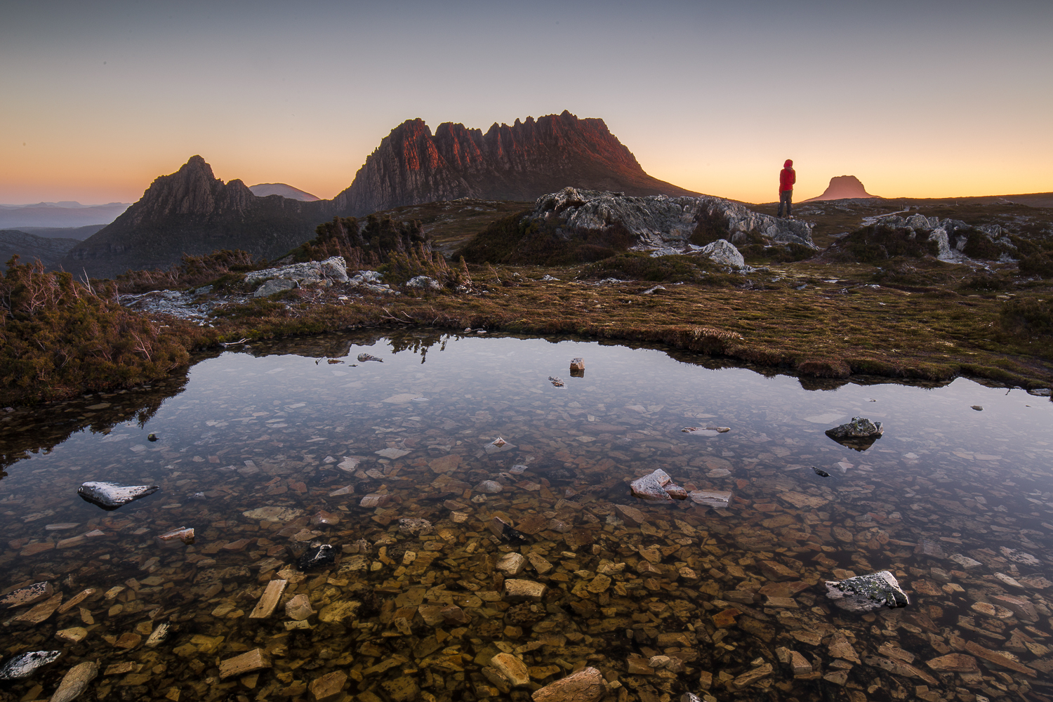
The mountain called Twin Spires is right next door to Cathedral Mountain, and it would thus be pretty odd to climb one without the other. Twin Spires is the Abel, so I guess if you only had time for one, it would be the one you’d do. I am biased, as I camped on Cathedral and enjoyed the golden hours of sunrise and sunset there, so prefer those views, but Twin Spires was still a very wonderful peak. It is just a fraction less in the thick of the drama than its friend. It does have a tarn very near the summit, so would be worth seeing if it had great views for sunrise at some later date.

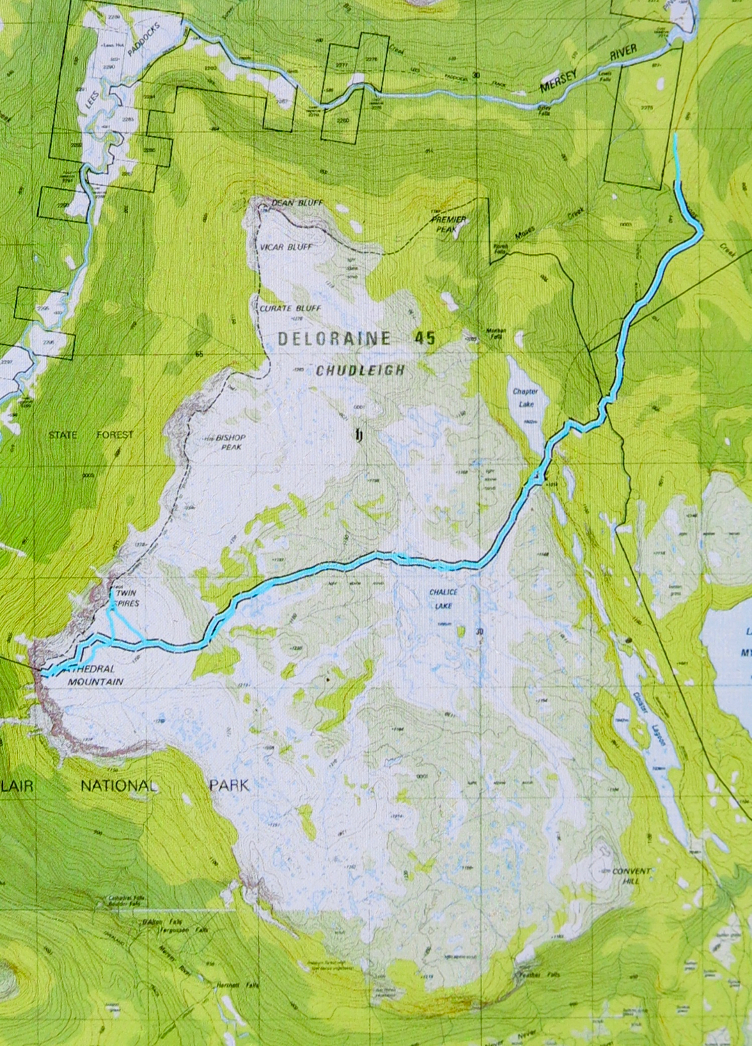
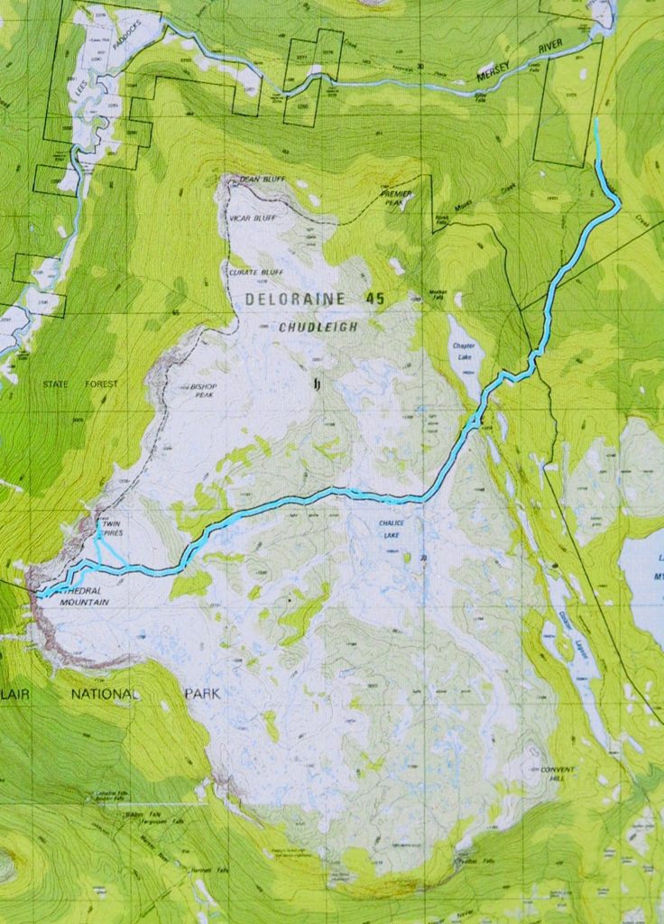
For general directions on how to get here, see the post on Cathedral Mountain (www.natureloverswalks.com/cathedral-mountain/). I have reposted the map below.

Cathedral Mountain 2017 Nov

Cathedral Mountain Nov 2017
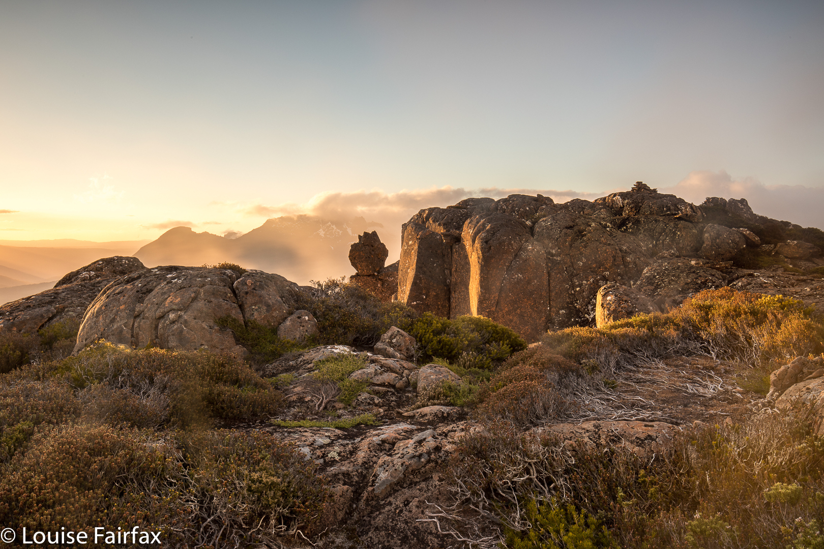
I have wanted to sleep on Cathedral Mountain for years, and am very pleased to have done it, and yet my venture caused me to question the assumed power of the wilderness to heal our sorrows and / or our soul.
Can wilderness do this? The wilderness presents to us infinite sublimity that we can use to transport our being outwards to the universe, but it is not a force with a mind. It can only heal us if we let it, and allow that infinitude to bring us peace.
Wilderness exists as an objective and real part of our environment, indeed, but the value of that thing and its meaning for us depends on what we bring to it. For the wilderness to offer me healing, I need to meet it half way, as it were, and permit the expectations and connotations I give it to do their  work. I need to lose myself in that beauty – to allow it to overwhelm me so I can lose myself. On the weekend, I could perceive the wondrous sublimity, I loved my little tarn and my magic view, but I still felt empty. I couldn’t lose myself at all or join a wider universe. I was stuck in my own misery.
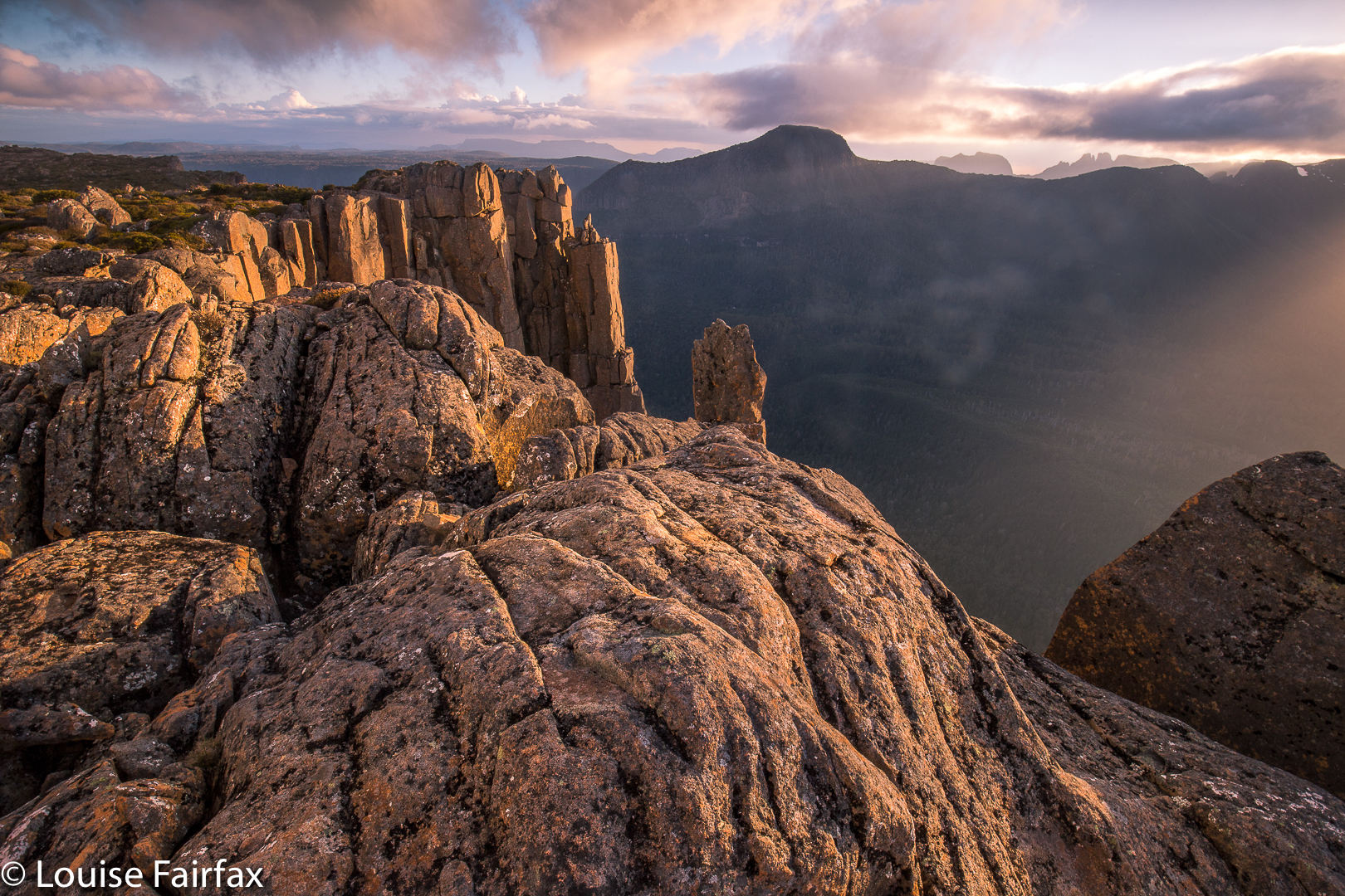
A long time ago, back when I was an international athlete, I thought that nature had the power to completely satisfy me. I remember clearly the day that debunked this theory: I sat on a rock up very high above the dramatic and impressive Aletschgletcher and looked out at infinite space. This was the quintessence of sublimity, and yet all I wanted at that moment was to have Bruce beside me, sharing that magnificence – not necessarily saying anything at all, just being there, sharing. And so I realised that it is not nature per se, but nature in the context of meaningful relationships that I find to be so wonderful.
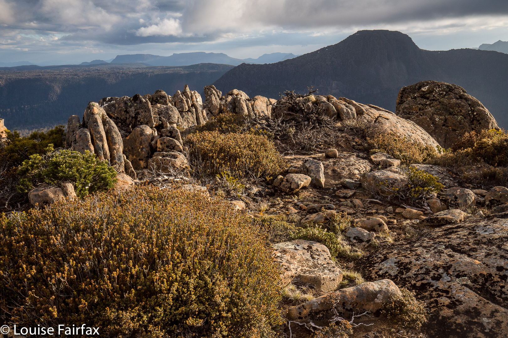
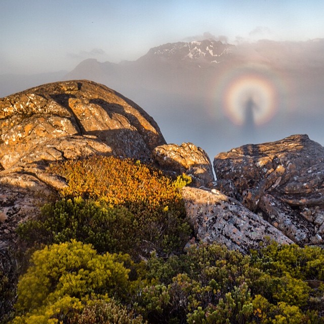
And so it is hardly surprising that there, on top of Cathedral Mountain last weekend, witnessing a beautiful display of, first, a golden sunset and, next morning, a thrilling sunrise with pink mountains above white cottonball fluff, I felt far less moved by nature’s wonder than is normally the case. I have lost half of who I am, the person who defined how I saw myself for most of my life and who helped mould who I became; the person who gave me incredible freedom by granting me his love.
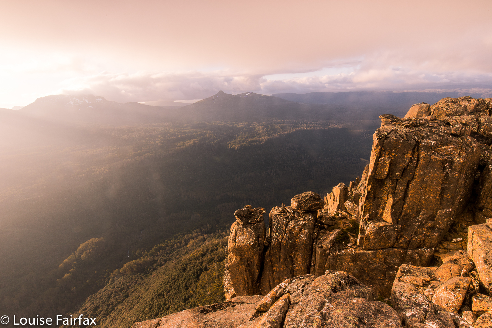
In seeing our relationships as the most important aspect of our lives, I am hardly alone. I am reminded of Goethe’s Faust, who sought fulfilment in a variety of sources (learning, magic, nature and more) and yet, who found it in the simplest of solutions: in the love of Gretchen. In a similar yet very different vein, C.S. Lewis whose whole life revolved around reading and writing, found no solace after his wife’s death in the act of reading. Our relationships are like a taste-enhancer, lending flavour and zang to anything we devour. Lose a meaningful relationship, and everything becomes bland and uninteresting. The view from on top of Cathedral Mountain was hardly bland or uninteresting, but, for once, it could not pull me wholly out of myself and give me that enjoyable feeling of merging with nature I so often enjoy on a summit. I am fighting to retain my self in the presence of huge forces; it is hardly surprising that I can’t give to nature right now. And if I can’t give, then neither, of course, can I receive.
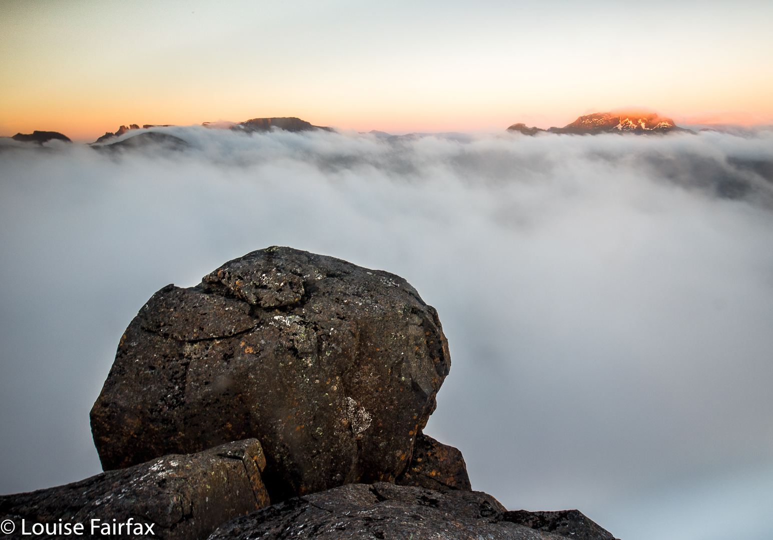

And so And so it was that with the deep sorrow of losing Bruce operating below the surface of everything I do, the extreme beauty of Cathedral Mountain, although it moved me, failed to heal my sorrow or to transport me to infinite places where I could feel soothed. Not now.
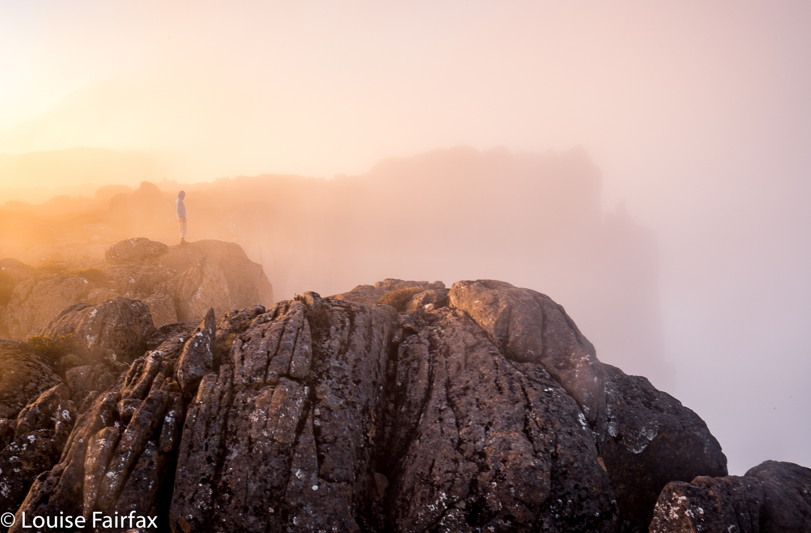

Only family and close people can soothe me right now. Later, things will change. I am still glad I went.
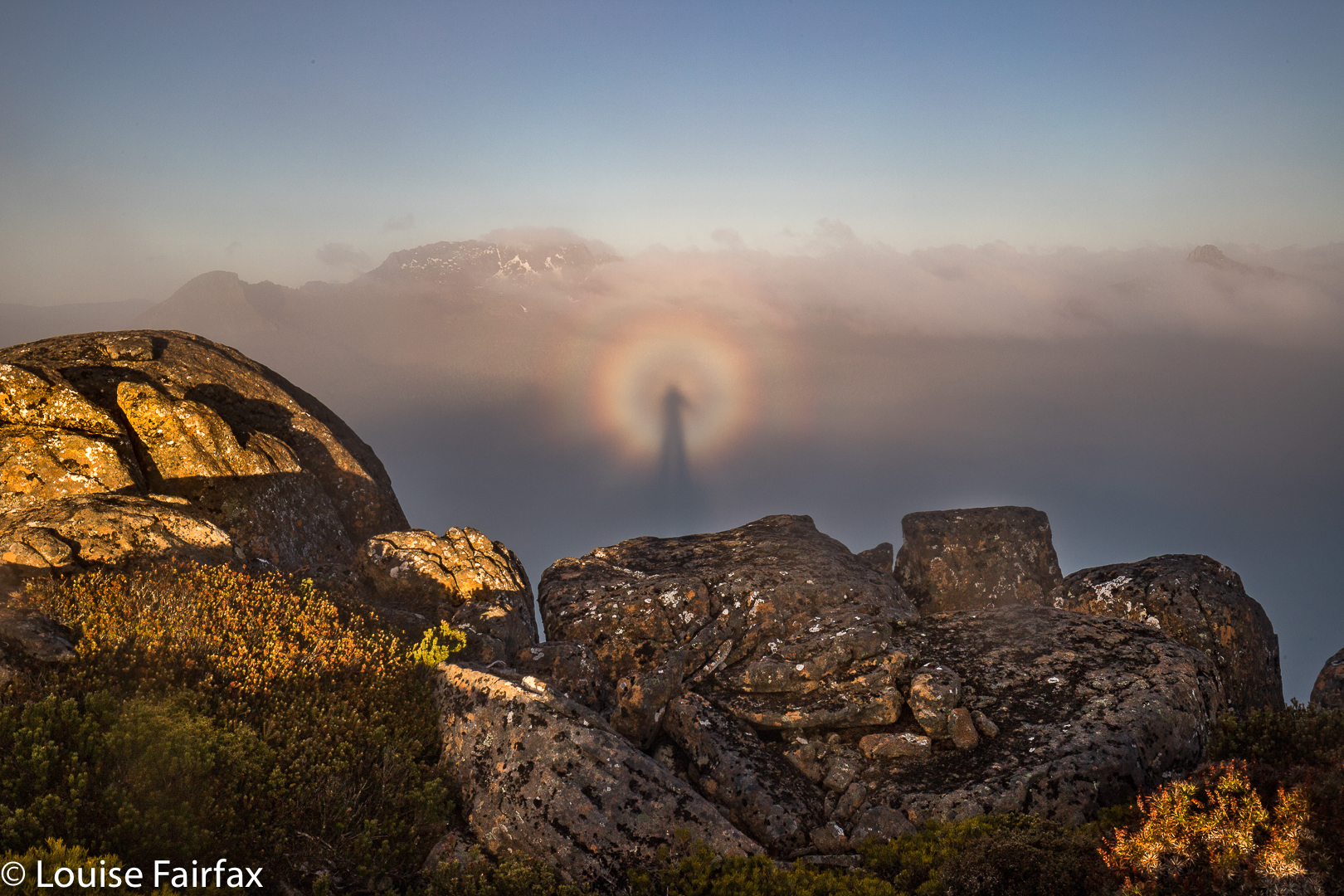
 The problem, I guess, is that in the past, when up a mountain, even when solo, my solitude has occurred within the wider context of a waiting Bruce at home, who would be pleased to see me on my return, would want to hear stories of my adventures and to share in my photos.
The great poet, John Donne, used the image of a protractor to describe how it was between him and his wife: one partner stayed at the centre while the other one roamed; both were joined while apparently separated. This is also a fitting image to describe the way it was for us. I climbed while Bruce stayed at home, joined in spirit whilst prevented physically by his illness. I guess you could say I was only ever carrying out a pretended solo. Now, for the first time, my summits are truly alone.
But you, lucky reader, can presumably visit this wonderful summit without these cares, and the majesty will have more power to impress you. Getting to the top involves a combination of track following and navigation. A rough (and not always distinct) path leads from the carpark at the end of the Lake Rowallan Road to the beautiful Grail Falls, after which a cairned route takes over, getting you as far as Tent Tarn. If you are not a confident navigator, you should stop here (or even earlier, by one of the other beautiful lakes). From Tent Tarn to the top, there is a route which is cairned, but the cairns are not always as close together as you might like and you do need to know what you’re doing in between their guidance. You need to be happy about branching out and not caring if you don’t find any more cairns today. (For the climb of the next day, Twin Spires, see separate post,viz:
www.natureloverswalks.com/twin-spires/).
 

Bear Hill, Schouten Island 2017 Oct

Bear Hill, Schouten Island Oct 2017.

View of Bear Hill from the water’s edge.
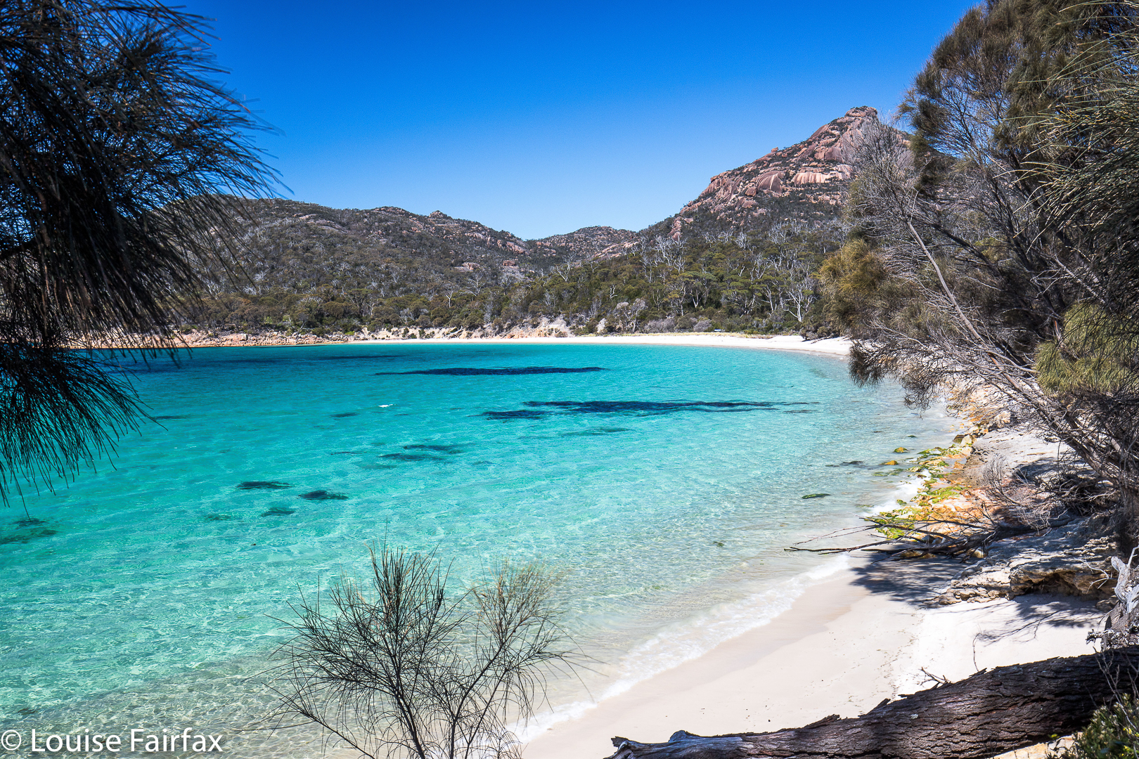
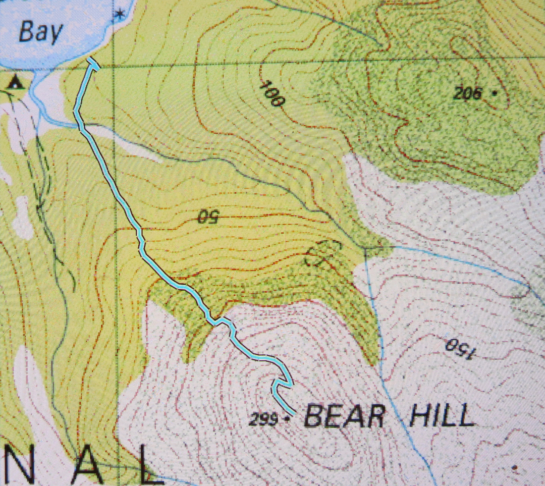
Schouten Island has at least three peaks worth climbing, two of which are worth points. Poor Bear Hill is worth no points, but is probably the nicest climb of all, being quick and easy, and with an excellent view. It’s so quick and easy, I did it twice: once on the day we arrived, and once before breakfast for a dawn shoot the following day. My stats confirm it was 28 minutes to the top – and that’s with lugging 3kgs of camera gear. In other words, it’s easy to do for a dawn or dusk shoot and not have to deal with too much darkness.

Early morning view.
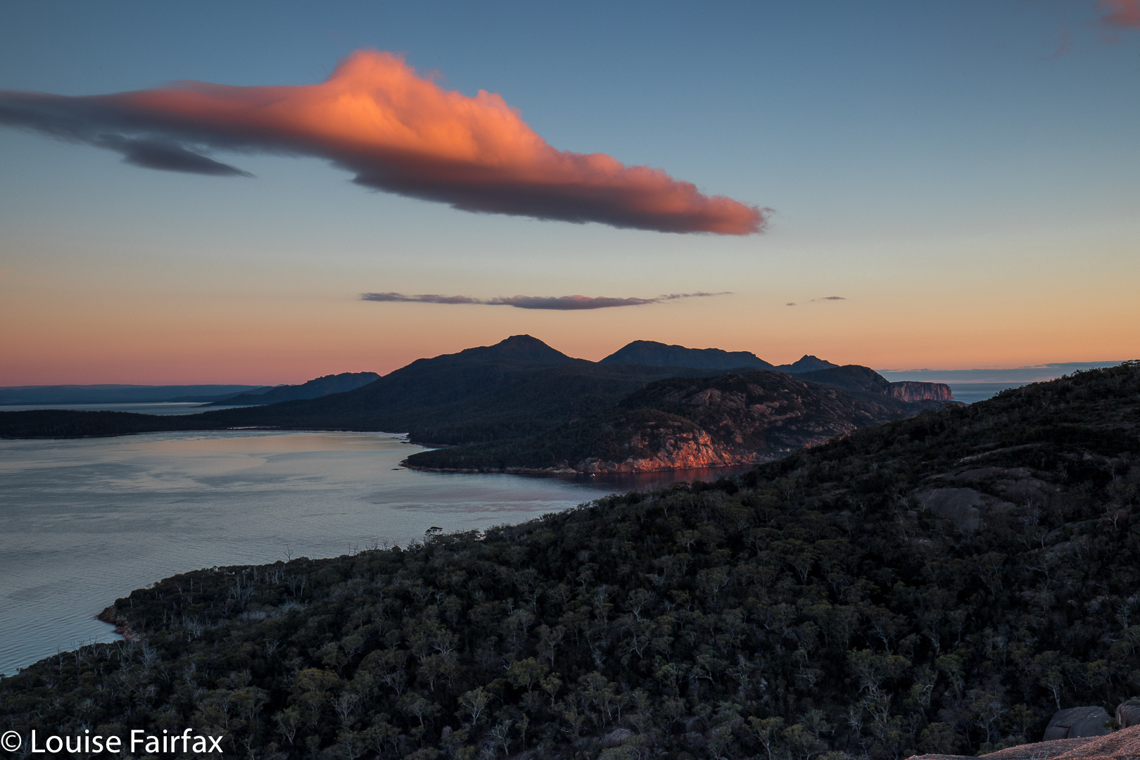
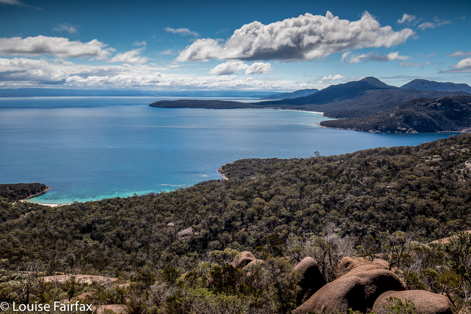
I particularly liked the fact that Bear Hill was not too far from the mainland peninsula, so the mountains of Freycinet National Park looked appealing from up there. Meanwhile, you could look down on the beach where the tent was, and the beach on which we landed. The little world of the island was laid out before me. Because I felt like having a workout, and the others wanted to enjoy themselves, going at a more leisurely pace, I did this one solo, which gave me this little world to myself. Funnily, no one else (of three) had wanted to get up in the dark and do a dash for the top to see dawn from on high with me. I went alone. Penguins called to me as I left my tent.


And this is the view mid afternoon.

Story 2017 Schouten Island, Oct

Mt Story, Schouten Island, Oct 2017


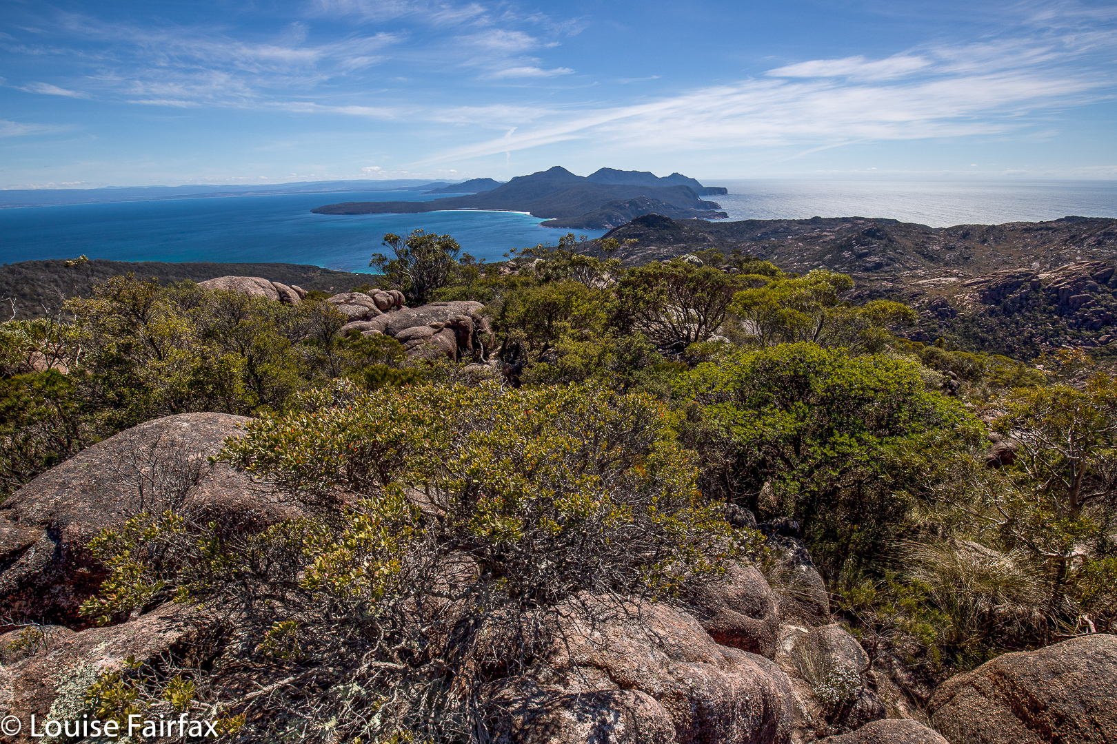
Mt Story summit looking to the Freycinet peninsula
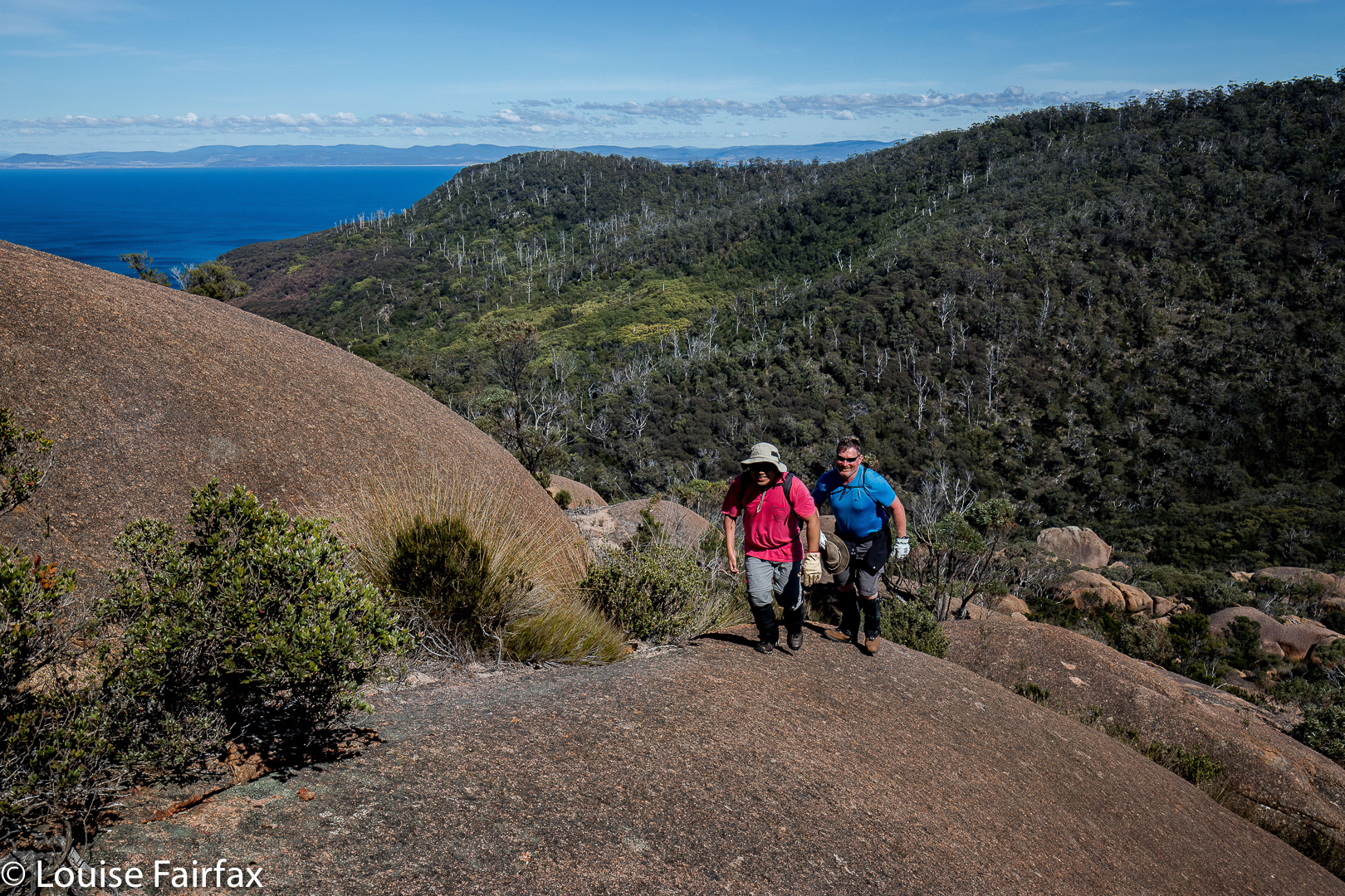
Mt Story does not have a path to the top, but it does have a taped route (mostly pink) that is not too difficult to follow. This mountain is a much longer undertaking than Bear Hill, and we took about two hours’ walking to reach the top, with a break for snacks and another just for the heck of it added in.
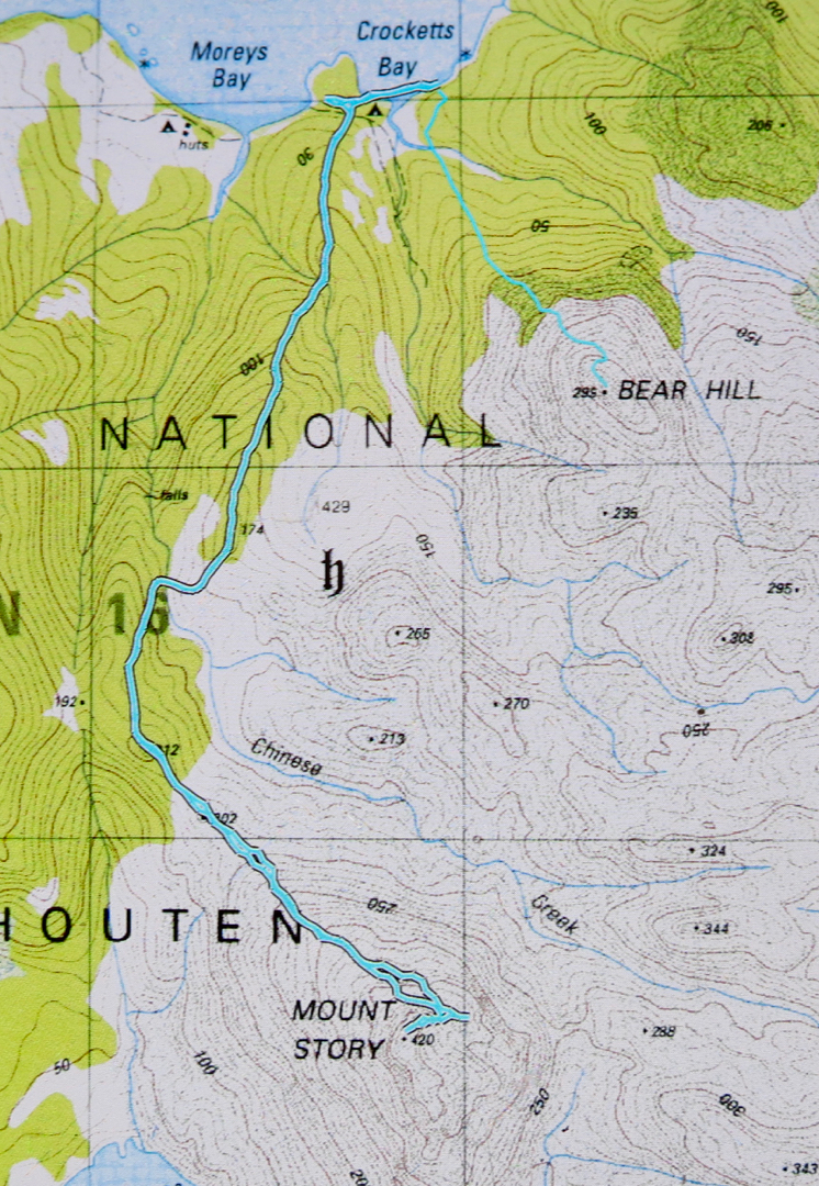
The start of the walk was where the descending spur meets the track that exists between the two beaches to the north, i.e., between the beach on which the boat drops you (Moreys Bay), and the one where you camp if you want to camp right on the beach under the shade of casuarinas (Crocketts Bay).

If you compare the photos of this mountain worth points and Bear Hill, worth none, you’ll see that getting no points is more photographically pleasing on this occasion.
If you are wondering what the detour (on the map below) to the east after we’d been to the summit is, it was the beginning of a climb of Daedalus, but we soon decided we didn’t have enough time given the general energy levels prevailing in the group. One of our number didn’t think he was up to it, and really, I was not feeling one scrap energetic, and was glad of a pleasant meander back to where we’d come from rather than a desperate race against the clock to complete the circuit. I had a strong feeling that the salmon I’d had the night before, and again, for an early lunch, was not quite in the kind of condition that salmon should be in when meant for human consumption. I think my salmon  pate needs to wait until the cooler weather of next autumn before it’s allowed on any more overnight bushwalks.

Helder 2017 Aug

Mt Helder Aug 2017


Underway to Mt Helder, walking around Hermit Basin at this stage, heading for the Herder Inlet. Stillwater Hill in the background, centre (I think).
Over the years, I have seen a few photos taken from the flanks of Mt Helder, and have wanted to see these sights for myself. For me, this mountain was all about the view rather than attaining the summit, although, of course, I wanted to do that too; however, being in the wilderness and seeing what could be seen from up there were my primary aims.


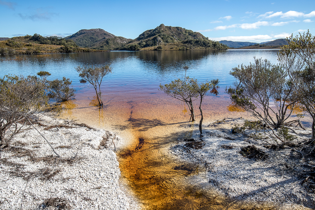
One of the very few moments when we could walk where we wanted to – on the white “beaches” of Lake Pedder.
We’ve had a lot of rain this winter, so I was not surprised to see that the normal white quartzite border around the lake (wonderful for quick progress) had been swallowed up by the bloated winter waterbody. This was inconvenient, but it sure was nice to see the lake looking so healthy. The repercussions for our little foursome were that instead of a nice lakeshore march to our real starting point, we would have to do battle with resisting scrub for several hours before we could begin the climb proper.


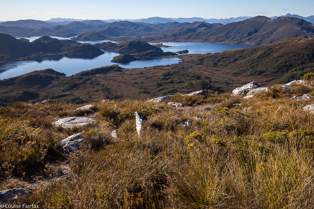
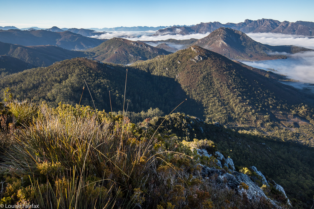
Looking down to two gorgeous unnamed lumps in the Stillwater Passage. Right to Mt Cullen. It took over an hour to get up here from the plains below.
The first hour and a half of our journey was thus embarrassingly slow. As far as the crow flies (pity these birds can’t carry packs for us), we had covered little territory, having wound back around the lake to where we could see our starting point, all too near.  By lunchtime, we had made a more satisfying dent in the work to be done, but still had a way to go before the “starting line”. After three hours’ walking (plus lunch and morning tea breaks), we were sitting near the base of the climb, ready to begin the steep ascent. We sat there drinking and eating a bit more, girding our loins for the work ahead, and chatting while the day was warm and pleasant. I knew we would be too cold to sit around the non-existent campfire at night when the temperature dropped below freezing; it was fun to do it here, just soaking in the wilderness ambience.


As we chatted, I looked up at the first nobble we would head for, and guessed it would take us an hour to reach it, close as it was. I was hoping that was a pessimistic guess (I like to have pessimistic guesses so as not to be disappointed later), but, unfortunately, it was a little optimistic. Not only was the climb “in your face” steep, but the ground was slippery and slimy, making the work more difficult, as sometimes you’d slide backwards, losing precious height gain. Always, you were on your guard against a really big slide back to unknown depths below.


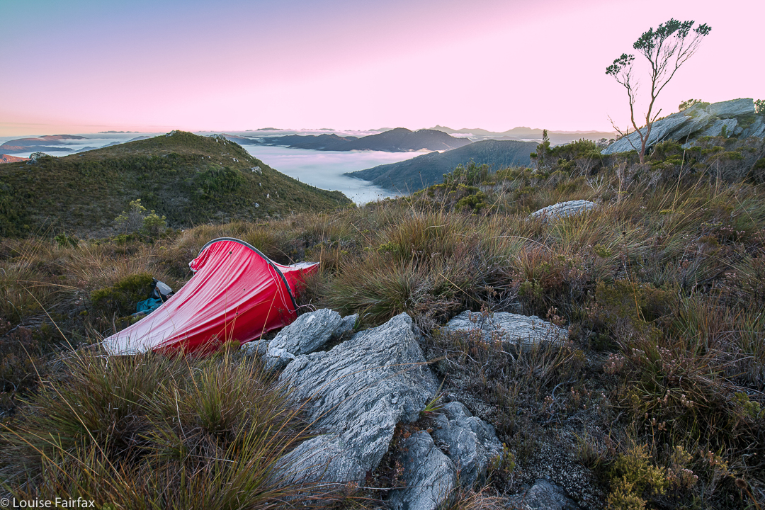
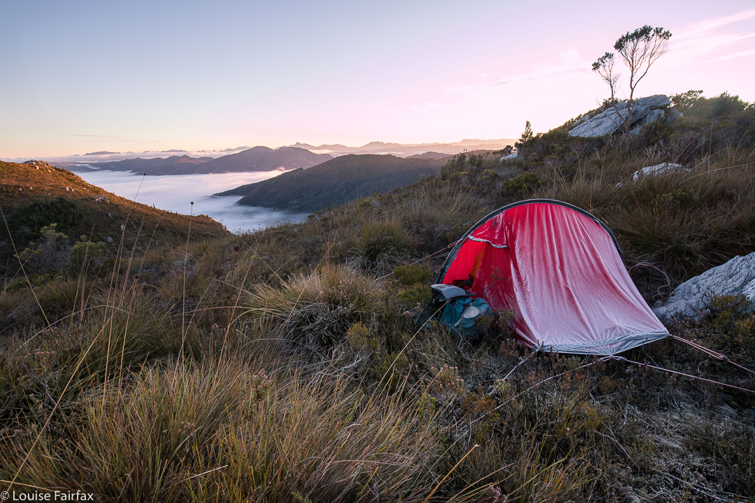
Dawn next day. I woke just in time to catch the roseate sky. I feared I’d missed it, but the eastern section still had a pink tinge.
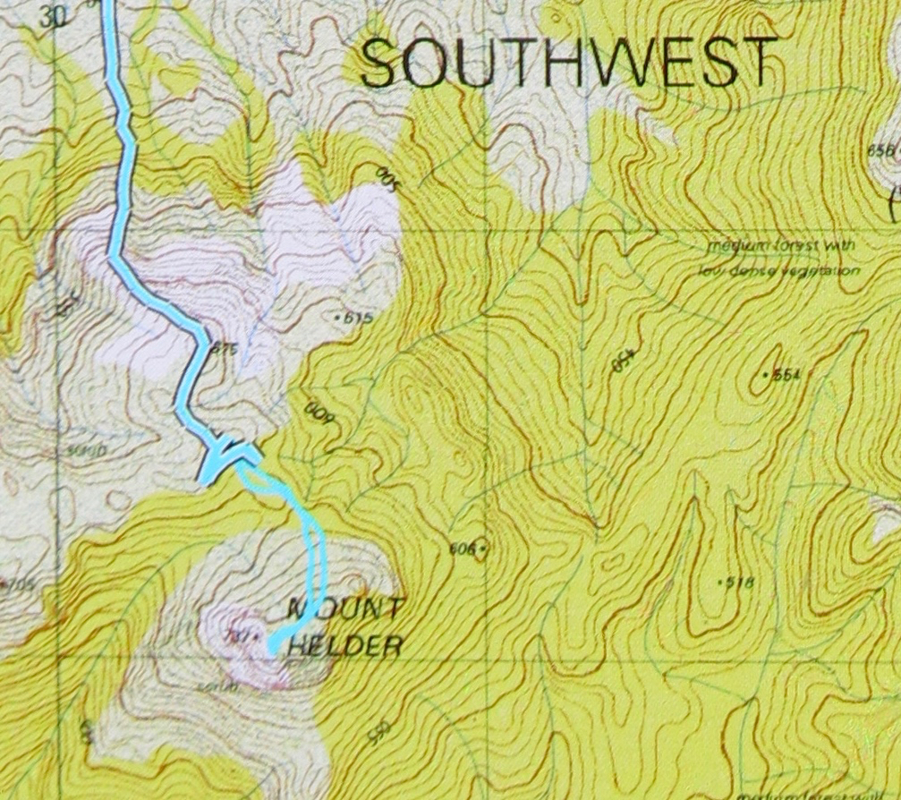
However, soon enough we’d reached it, and what a great reward for our efforts. I could have stayed there easily, but this spot wasn’t what we needed if we were to complete our stated intension of ascending Mt Helder. On we continued, to a high point looking across at Helder (on the map below, this is where you’ll see a lot of doubling back and forth). The aim here was to dump our packs, summit Helder, collect water on the rebound, and then proceed a tiny bit further in the direction of Mt Cawthorn. Off we set with water-collecting equipment for the way back, and plummeted down into thick, nasty scrub. We climbed back up and tried a different tack. Now, it was 4.30. We took stock of our current situation: (i) it would be dark by 6; (ii) this forest was very, very resistant to our best efforts, (iii) it would definitely be well below freezing overnight, making being caught-out perilous. It seemed we really ought to abandon a summit attempt for today, and do it straight after breakfast in the morning. This was a much safer option. We went down into the depths for a recce and to collect our water (mud, actually), gathered our gear and went to a nearer tent spot, the one in the picture above (and below). Can you see the ice on the tent in both shots? It was a bit chilly up there.


Day 2.
With plenty of time up our sleeves, we summitted without great difficulty (although with a worthy counter-battle by the bush) in a bit over an hour from our spot, and returned in a bit under, meaning that we had nearly an hour to scrape the remaining ice off our tents (alas) and pack up for a ten o’clock departure.


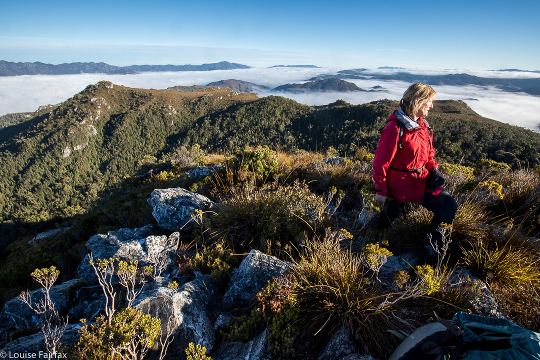
Summit view. We’d earned it – although I did like the tent view better.
We were more efficient on the way back, staying higher to avoid the thickest of the bauera’s web of unrelenting branchlets and the mass of melaleuca trunks that don’t like being budged sideways, and the cutting grass that likes to slit various parts of your anatomy. We only had to lift our legs high each step over the button grass and deal with bands of bush guarding the many creek crossings. Easy. Huh. We were back at the cars by 3.15. Obviously, we had decided to leave Mt Cawthorn for a time that favoured faster movement.


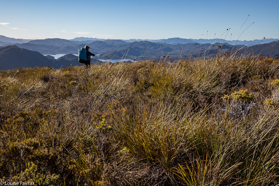
Sue Ellen looking east, while the camera gazes SW at Mt Cawthorn, and the Frankland Range beyond.


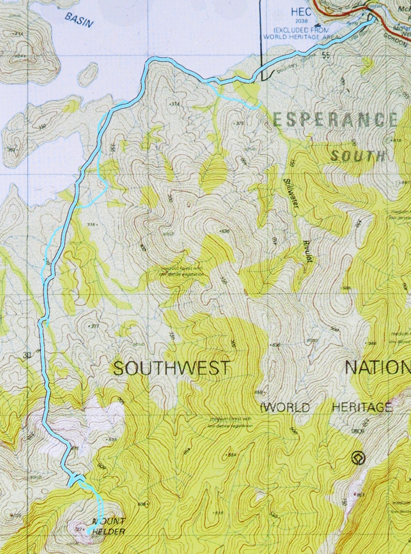
The lower route – to our destination – is the cyan route with black outline. The return route can just be made out – cyan with no black border. Unfortunately my battery ran out near the end, but you can see where we’re heading. The dos and from up high before the Helder saddle are (SW) where we pack dumped, and (NE) where we camped. The end of the black line is where we found water of sorts, so long as you like the taste of mud and grit in your drinks. It’s an acquired taste that I don’t mind.


Close up of the final stages to give you a better idea.