Balfour 2017 Mar

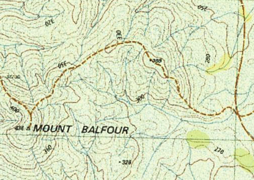
Mt Balfour, Balfour Ghost town, and Frankland River Walk.  Tarkine day 3.


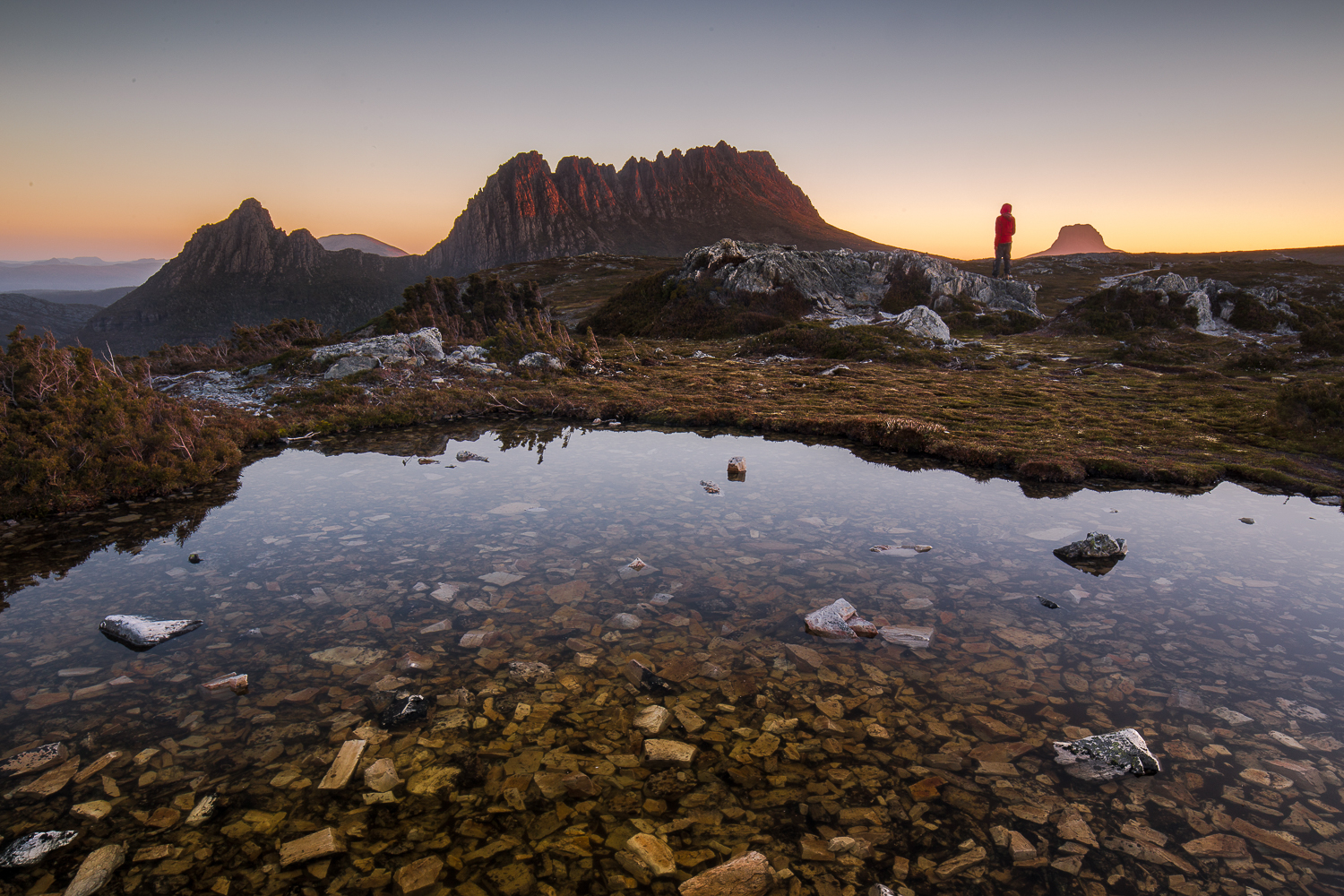
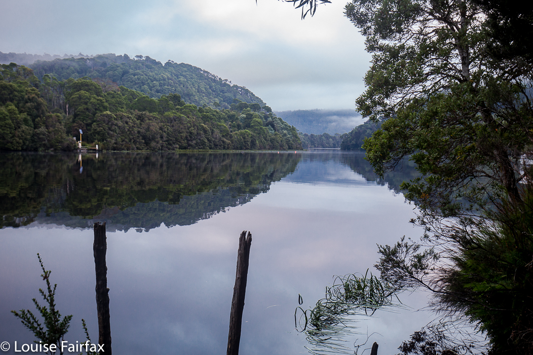
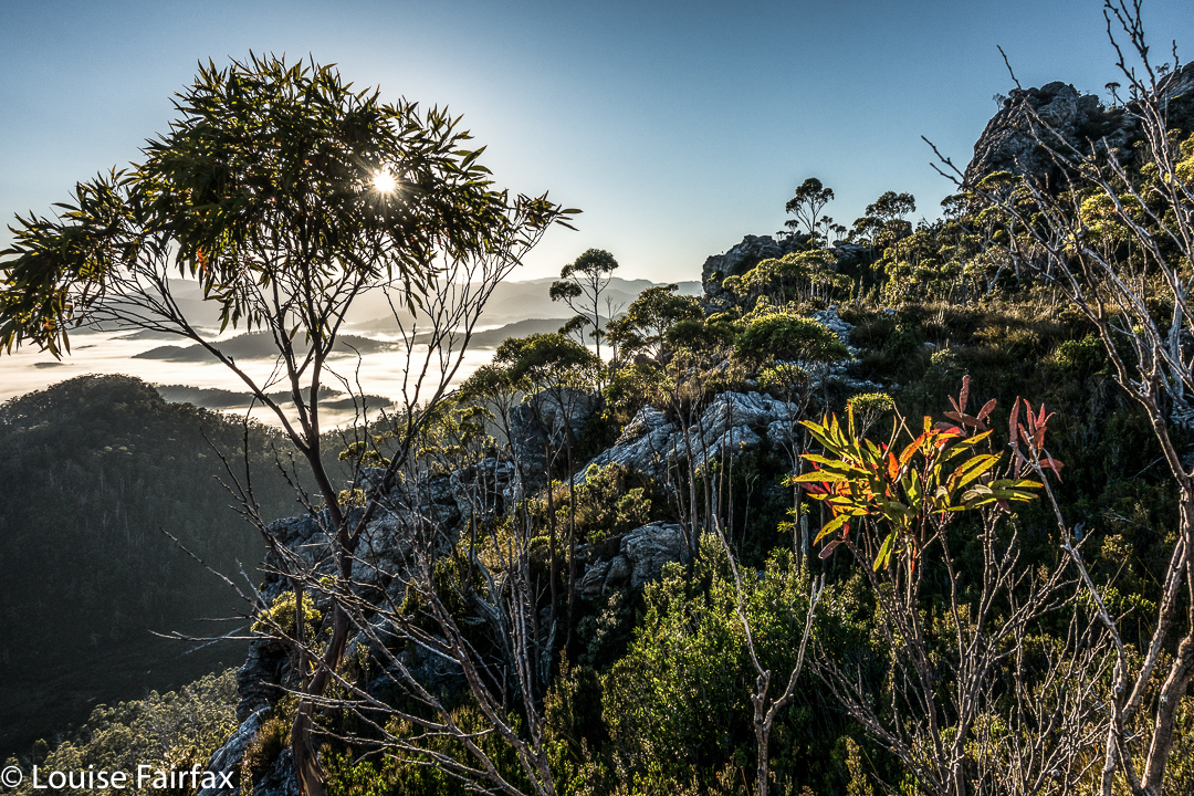
After breakfast overlooking the Pieman River with its beautiful reflections at Corinna, we continued on our way north, driving for about an hour and a quarter at moderate pace to reach the foot of Mt Balfour.
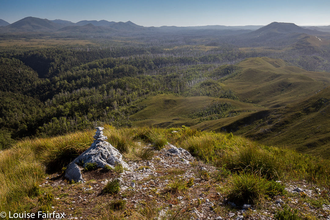
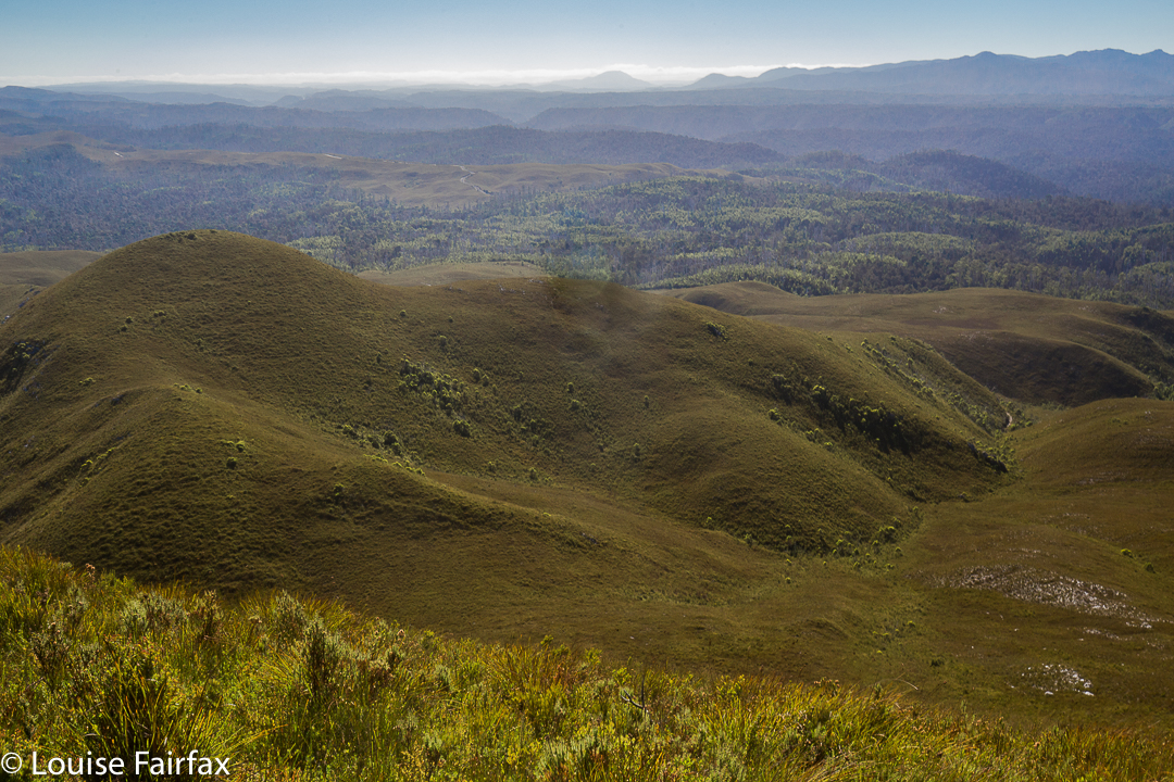
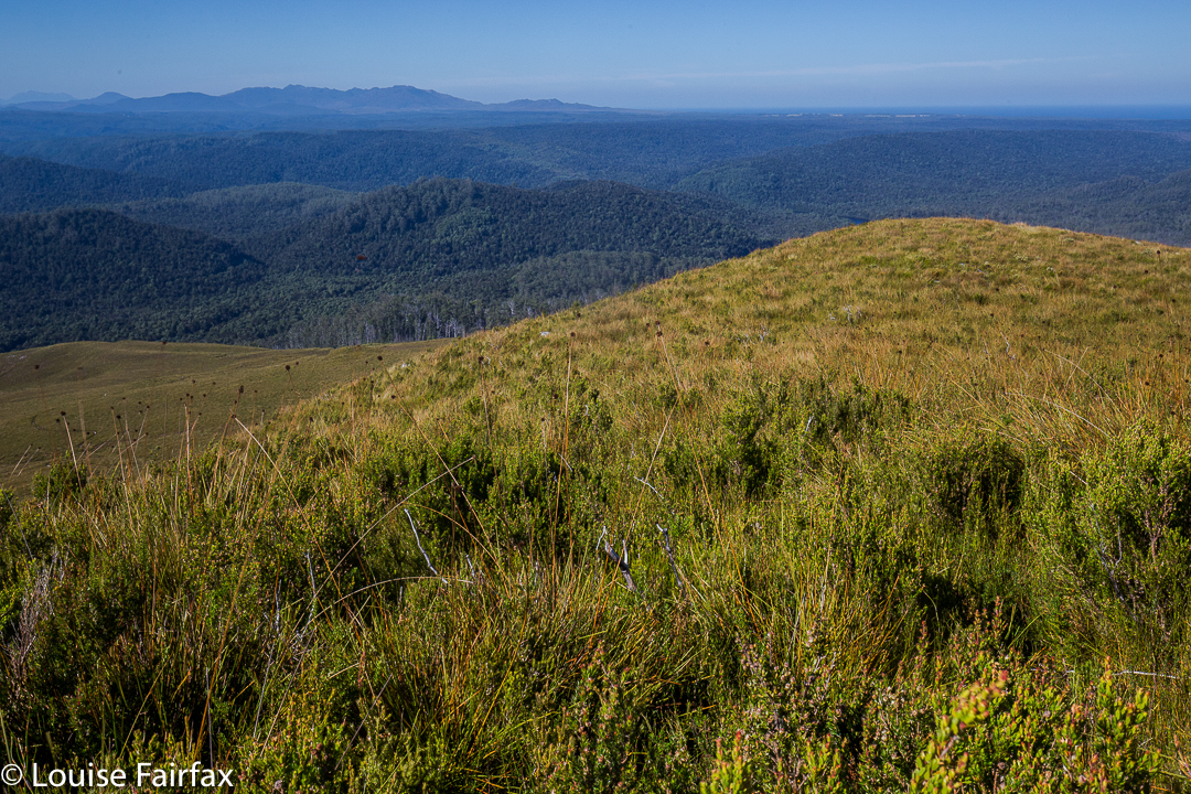
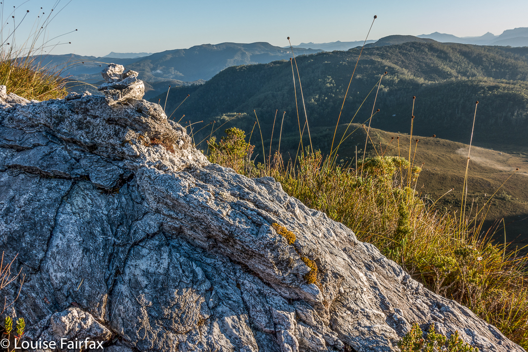
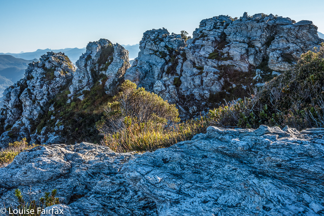
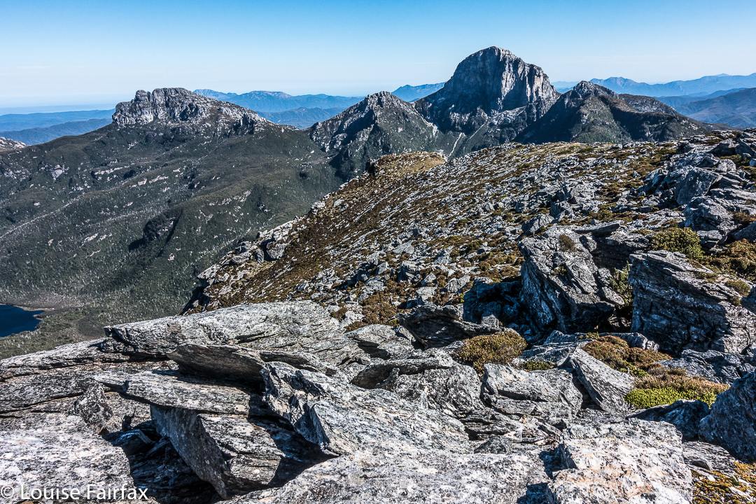
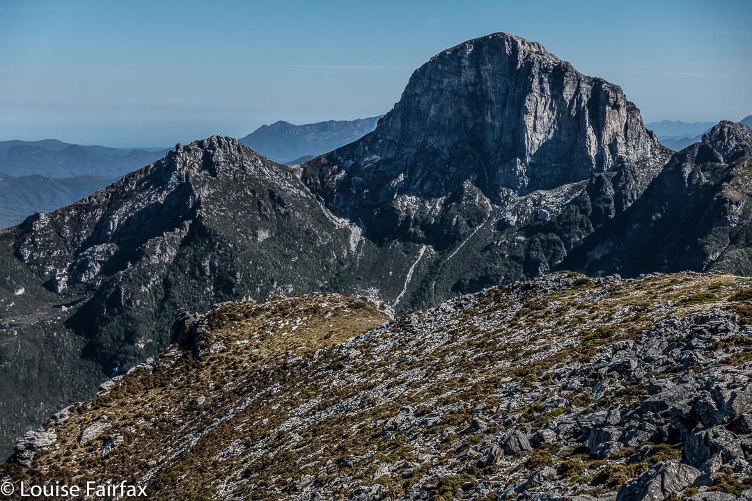
This mountain was short and very, very steep – so steep I was wondering how I was going to get my husband back down it. (He has Parkinson’s disease, if you are not used to reading this blog and find that an odd comment). Some sections you had to hang onto the grass to avoid rolling the whole way back down the hill. In fact, I watched a German girl girl doing precisely that as we neared the end on the rebound. She was wearing thongs, and had nothing to keep her foot attached to her shoe, so it slid out backwards. On the way up, I clutched grass and small bushes to avoid rolling backwards, and on the descent, I used the shrubbery rather than the ballbearinged 4WD track, as did my husband. He would have had a bad accident had he tried to stay on the track. The track just goes straight up, with no mucking around.

Steep it certainly was, but, as I said, it was also short, so I only took 27 minutes to the top – but 31 down. When you take longer to descend than to climb, you know this is a really steep slope. On top, we all enjoyed a snack just for the heck of it – because you snack on a mountain, even if it was only a tiny trip up – while some members girded their loins for the feared descent.


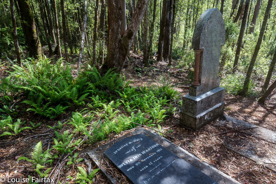
Next on our programme was a visit to the rather eerie ghost town of Balfour. Why eerie? For me it was, as apparently there are the graves of four hundred people who died in 1912 from typhoid. The “town” itself only has a few old tin shanties, but to think of such a large number of people living and working there, all quickly dead was rather horrifying. The doctor, whose grave remains, was only thirty when he died; Sylvia was fifteen. Most of the graves are no longer visible – perhaps there was just a mass grave at the height of the epidemic. I enjoyed the leafy tunnel that constituted the bulk of this walk, although the Frankland River, wild though it well may be, was not at its most attractive in midday glare. I didn’t bother photographing it, even though I did enjoy the leisurely stroll.


That night we slept on the West Coast, and that I DID photograph – with a vengeance. So many photos did I take that I’ll give the evening of Day 3 its very own blog (posted tomorrow).


Donaldson 2017 Mar

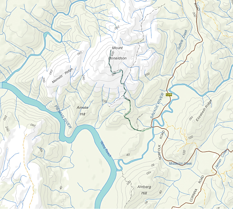
Mt Donaldson, Mar 2017. Tarkine Trip Day 2.


With the floating feelings brought on by last night’s magnificent performance at Zeehan’s Gaiety Theatre (Ode to Nellie Melba, with Opera Australia’s Lorina Gore), our merry band of eight walkers from HWC (don’t all walking clubs do opera??) set out to drive to Corinna, where one member would go on a boat cruise, and the remaining seven would climb Mt Donaldson, only about ten minutes’ drive from the lodge. It was going to be another hot day, so we set out as early as was practicable, and didn’t bother pitching our tents until our return.


The walk began across the road from the parking space at the Savage River bridge, a beautifully shady place to park. As per yesterday, the leader didn’t mind my odd little ways, so I was not required to stay with the group, but permitted to climb at my own ‘happy pace’. I felt very free and light.


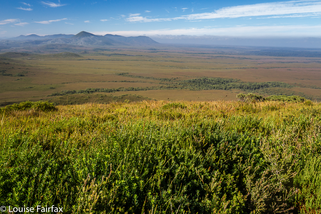
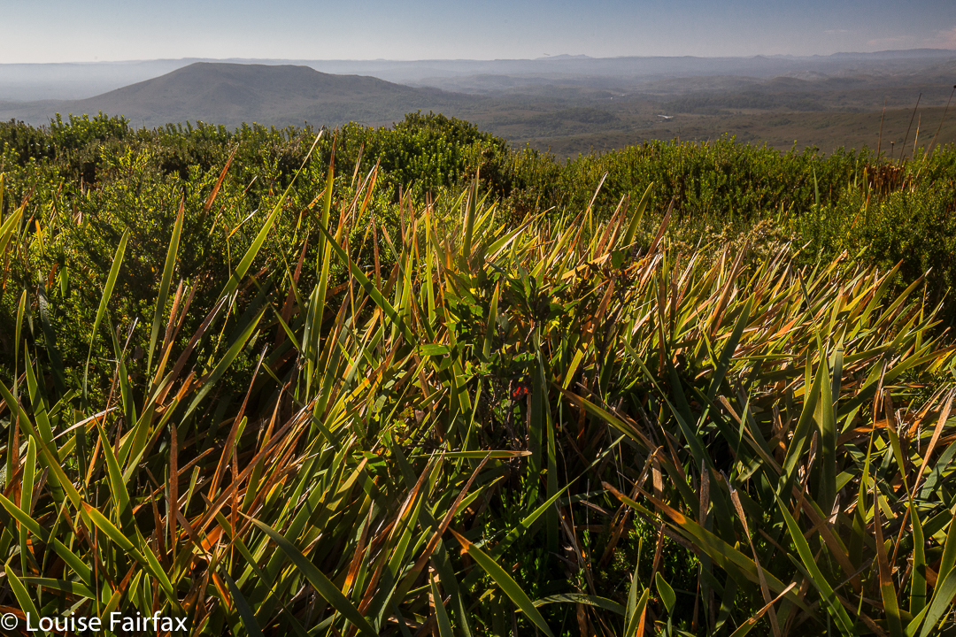
Sometimes it’s great to be alone and just enjoy nature, moving at a pace that pleases. There’d be plenty of time for socialising as a group later. Because I was allowed to move at workout pace, I arrived at the top in light that had not turned to glare. The world seemed fresh and beautiful in the still-golden tint. The early rainforest part had been wonderfully lush and green; the higher woodland section, an interesting contrast; and the button grass part offered excellent views of the river snaking below, and of other mountains in the distance. I sang as I walked. Life had been stressful last week, but walking and singing and enjoying the wide open scenes with the narrowed world to myself was a perfect antidote to calm me down.


As with Mt Zeehan, we could see the ocean from up there. Poor Mt Donaldson is not only not worth any peak baggers’ points, it is not even considered an official “point of interest” or a “high place”. This is an absurdity, as it was both interesting and high enough (437 ms) to offer a wonderful view in the early light.  It is neither an Abelette, nor a Bob Brown. It is just nothing – but it is most worthy of a visit. The 4.3 kms from car to summit took less than an hour, but most groups are not chasing a workout, and would probably want to linger on top longer than this restless jitterbug. I was having fun dancing in the breeze, and returned quite quickly to the car where I got in several glorious chapters of my book, once more enjoying tossing off my other responsibilities for a while.  My husband was having a wonderful time with the group.
We had lunch under the canopy of myrtles beside the river in a cool and shady spot before returning to Corinna to pitch our tents and enjoy the environs there.

Zeehan 2017 Mar

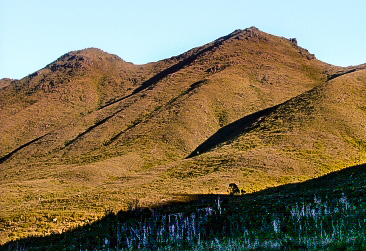
Mt Zeehan, Mar 2017. Tarkine trip, day 1.
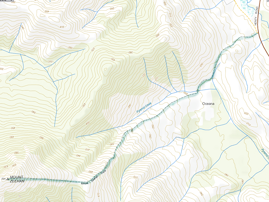
We drove 3 hours 15 mins from Launceston (plus a petrol stop), to reach the start of the Mt Zeehan track, which lies 3 kms south of Zeehan, on the Zeehan-Strahan road. It begins on 4WD track which is on the right (western) side of the road travelling in the direction of Strahan. After that quite long drive, I was itching to do the enticing-looking climb. The 4WD track that one follows – on foot; it is pretty rough – continues as far as a kind of dug-up, worked-over area, after which it morphs into a narrow path. Just before a cleared area, which could be confusing due to all the mess of “roads” and worked-over ground, the “road” you have been following forks. There is, at this stage of writing, a somewhat faded pink tape on the left of this Y. Take the right-hand option, into the mess and out the other side. Your path is the one heading for the mountain, which (on a fine day) is very clearly visible in front of you, slightly right.


Once the narrow track begins, the climb is quite satisfyingly steep (for those who love a good climb), through – as the picture above indicates – fairly open ground, until a saddle is reached. Although it is, indeed, fairly open, my husband succeeded in “mislaying” the track about a third of the way up. He just sat where he was and waited. Because it was so open, I could see his bright red T-shirt from near the top, so knew where to start looking for him. He knew I’d rescue him, so ate his lunch and dreamed a bit.
If he hadn’t lost the track there, he would have lost it in the saddle, for sure, as the flat area there is rather indistinct in terms of the track, and the vegetation gets a little taller. I’m glad he got mislaid in an area in which it was easy to spot him. Meanwhile, I was having fun getting in a bit of a workout, so just went up and down fairly quickly in order to both have some decent exercise for the day, and to return to him. The top was very, very windy, and most unpleasant – not worth a photo at all, the sea just being a hazy blur on this particular day. I’m sure that on other days, the vista would be marvellous. It never pays to climb a mountain in midday glare. I was the servant of another agenda on this day, so had no choice.
In its current state, I would not recommend this track for families, which is sad, as about 1-2 hours of secateur work would make it far more user friendly. Without that, however, any child under about twelve would have bush in its face for most of the second half of the climb, as the bushes have grown together over the track, and are at about the height of a primary school child. One climbs 600 ms in around 3kms (one way), so this is definitely a steep track.
The three hours return which is recommended is more than likely to be a good estimate for most people.

Philps Peak 2017 Mar


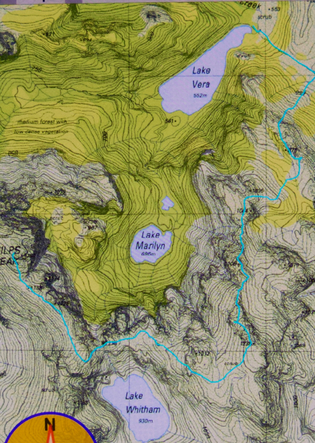
The story of Philps Peak begins as Day 4 of our Clytemnestra trip (http://www.natureloverswalks.com/clytemnestra/). On day 3, we had planned to climb to a beautiful spot near the summit of Agamemnon, but, most uncharacteristically for me, I had argued that the day was so stinking hot that it would take us hours to lug our packs up there, and that there would be no water for a day and a half if we went there, so we’d be better camping at the hut (Vera) and doing the climb as a day walk on the morrow. Angela agreed, but not with enthusiasm.


This little cairn marks the top of the first chute one climbs up on the way to the first hop, Agamemnon.
We chose a really beautiful camping spot – that is, the scenery was nothing particularly special, but the spot was secluded, set in forest with enough shade to cool but not enough to be dark. Birds and paddymelons visited us. It was just a very, very peaceful afternoon. Past ranger, Terry Reid, had donated a few bushwalking magazines to the hut, so I browsed through them, sitting in the forest on one of the many log-seats available, and organised my pack for the next day and chatted to the new people who later arrived at the hut and came past our idyll on their way to have a swim. I also had a lovely walk going back to the stream where I had noted that there was a waterfall that could perhaps be reached with a tiny bit of an offtrack detour. I was joined in this by new friend, Kent from Queensland, who also liked waterfalls and fungi.


We call these rocks The Four Ugly Sisters. They lack a name on the map. One heads to the left of them on the approach side.
On summit day, we set out nice and early to get in as much distance as possible before the real heat dominated the day. The light was superb, and we had about two hours where the air felt fresh and the light was clear before heat and glare took control. This means we got to the summit of Agamemnon – and even beyond, to where you first have to lose some height – in pleasant conditions.


Summit view. That’s Frenchmans Cap and Clytemnestra (far left) dominating the scene.
In between Agamemnon and Philps, in a saddle before you climb up onto the main ridge that leads to Philps, we found a truly nasty bit of scrub, where the forest was dense and unbendable and a pain to get through. At least the scoparia wasn’t scratchy (too tall for that), but it sure resisted our attempts to push out to the other side. This hiccup didn’t last too long, however, and we have both endured much worse than that, so it hardly marred the day irrevocably, even it did detract from perfection. There must be a nicer way through that stuff, but we didn’t find it in either direction. It occupied maybe thirty minutes of our time each way (guesstimate – I didn’t look at my watch; it felt like that amount of time, but maybe it was less).


Frenchmans Cap in all its glory from Philps. What a grand hunk of rock.
Once we’d negotiated that obstacle, there were no more difficulties. We climbed up a chute to the high ground of the final ridge, and walked along its pleasantly open line to the final summit climb, which was not challenging. The sun was right in my eyes every time I looked up to try to see where the best line might be. That was perhaps the most difficult thing we encountered.


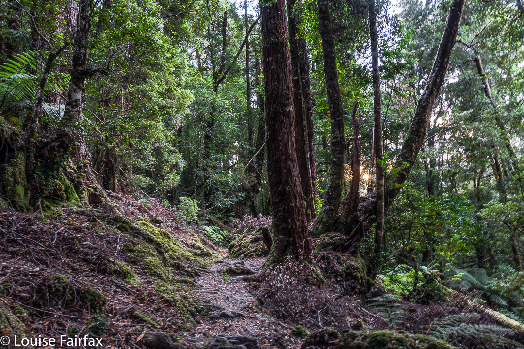
Forest next day on the way out.
On top, the view was amazing. I couldn’t believe how far visibility extended. There was Barn Bluff, days and days away, and Ossa, Pelion West and East, High Dome, Byron, Cuvier, Olympus. So many mountains normally not seen together, separated by many days walking if you are on foot. It was grand.
We tried for a better line through the junk on the way back (of course), but I think this one was even worse. I got so entrenched in scoparia limbs that I had to take my pack off and push it along the ground in front of me while I crawled under the unbendable tangle of wood. I thought for a tiny while that maybe I was going to spend the rest of my shortened life right here. No direction offered the possibility of movement.


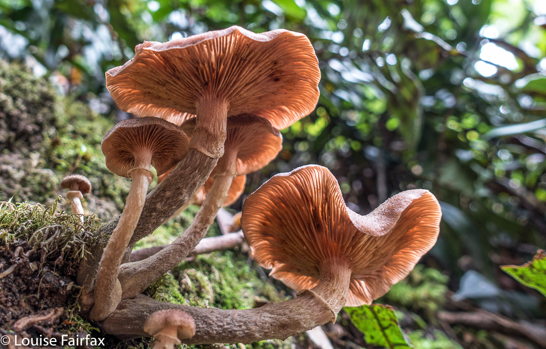
Yes, a few courageous (or ignorant / mistaken) fungi are out already, having heard that it’s autumn and not being aware that summer has just arrived.
Apart from that insult, the way home was uneventful. I was looking forward to a swim (yes, this is Louise writing) and ridding myself of these stinking clothes full of forest debris that had fallen down my neck as I tried to push a path through the bosky barricade. In the end, of course, I wussed out. I sat beside the little beach in my undies, staring at the cool waters, but letting the gentle breeze that caressed my bare skin do the job of cooling me down in the dense shade of that spot. It felt like a swim, but didn’t have the inconvenience of wet gear.

Clytemnestra 2017 Mar


Beautiful morning on day 1 to begin our mission.
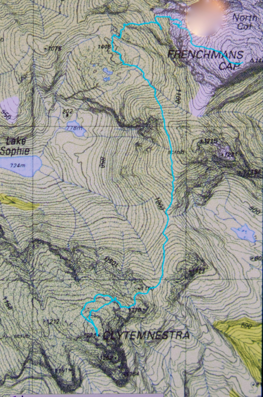
When I first heard that to climb Clytemnestra one needed to drop over the edge of Frenchmans Cap, I was filled with horror. Do you know the cliffs that shape the Frenchman, my reader? They seem formidable from any distance. However, the notion of climbing all the Abels had been planted in my brain by my former climbing partner, and had taken root there, and if I wanted to achieve that goal (still not sure, actually), then I needed to conquer any misapprehensions I felt with regard to dropping off the Frog’s hat.
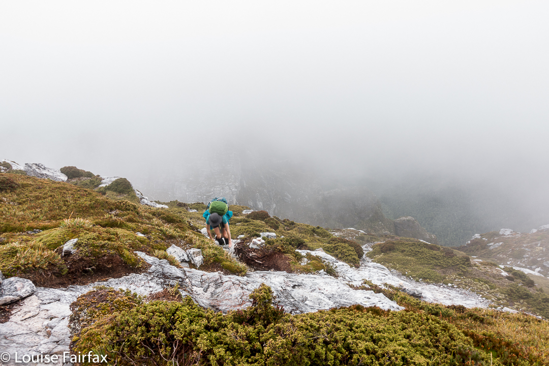

Climbing Frenchmans
Off Angela and I set on the start of this little mission, past Vera Hut too early for lunch, which we had upstream. In case you’re also there in a dry time of year, I’ll tell you that the last water after leaving Vera is about 45 mins up the track, where it crosses the creek for the final time. We arrived at Tahune Hut  mid-afternoon in plenty of time to choose a scenic spot for out tents, to organise our gear, and to go swimming (Angela) or to chat with others (Louise). I must have sweated a lot, as I needed a copious and salty afternoon tea, staring out at mountains reflected in the amber waters of the lake.


Our plan for day 2 of our venture was to set out at 7 a.m., but at 6 the continuing sound of heavier-than-we-liked rain had us push back the time to 8, … and then to cancel the idea of climbing altogether. However, at 10 it looked as though it might be clearing, so we decided to give it a go. Maybe this was a recce, maybe this was a climb. Time would tell. At least it was some exercise for the day.


Getting near our goal by this stage
We were on top by 11, enshrouded in thick mist, but decided to continue this recce business a bit further, and to try, at the very least, to find where we’d drop off the cliffs on the morrow, perhaps saving ourselves time then. We attempted two chutes that ended abruptly in dead ends (excuse the pun), but on the third attempt, managed to negotiate our way down the slippery rock with success, which meant we reached a knoll near the two tarns at the mountain’s base, 1 hr 10 mins after leaving the summit. I was still in recce mode. Angela didn’t comment. On we pushed, now proceeding up the lightly bushed ridge that connected with the main Frenchman-Clytemnestra one, and then contouring around its belly to avoid unnecessary climb. When we rounded that bulge the mist cleared enough to give us a brief glimpse of our grail – way, way closer than I believed possible. Angela was now excited and announced that this was no longer a recce. We were climbing this thing and now. I would continue forward, but reserved judgement on the certainty of success.
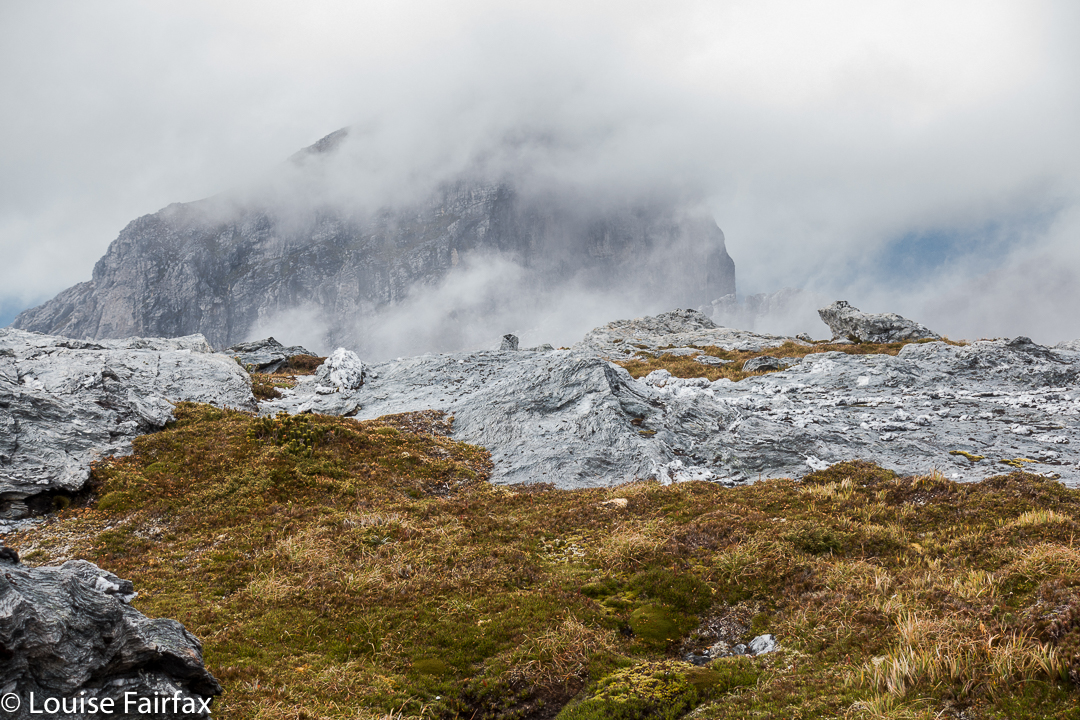

The cliffs of Frenchmans, teasing us while we had lunch on Clytemnestra
Into the final saddle, with only some cliffs between us and the summit cairn, I still refused to believe. Up, right, up, right, we climbed, walked, climbed, walked, until, truly amazing: there, fifty metres in front of me was the summit cairn. Only then did I allow myself to believe we were really going to do it. Ceremoniously we approached and touched together.
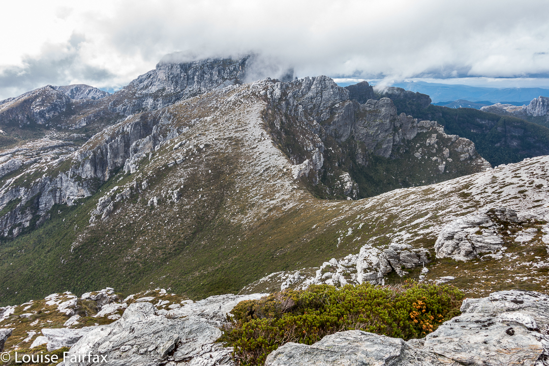

The route back to Frenchmans. We thought the mist was clearing!
We had lunch on top, watching the mist swirling around us, every now and then allowing a teasing half-glimpse of the silhouette of Frenchmans. At this moment, when I decided to consult my phone which had been tracking our route, I discovered that the battery was basically dead and I couldn’t even see the screen. Our homeward route was thus concealed, but, no worries, we have memories. Off we set.
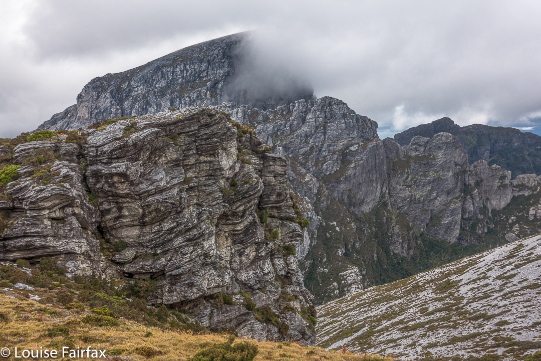

We have to go over Frenchmans (back) before we drop down to our tents.
There were no mishaps until it came time to choose which chute we needed to use to climb back up onto the main massif. At that time, the mist was particularly thick: visibility was zilch, and it felt like hours later than it actually was, with so little light penetrating the thick clouds. I did not like this at all. It felt like these conditions were set in for the remainder of the day, and we would never be offered a glimpse of a possible route. We were in a nasty cliff maze with no perceptible way out.
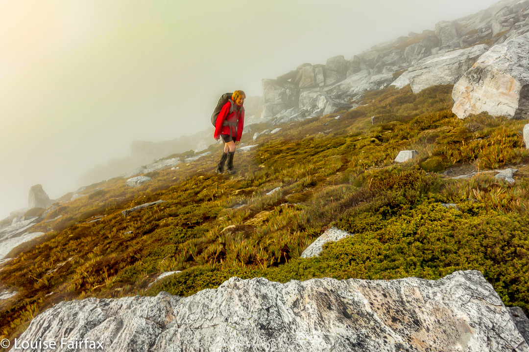

Eerie light as the sun tries to break through (before giving up again).
Luckily, before we left home, I had emailed Hobart Walking Club and received a gpx route, which I had transferred to my phone, and forwarded to Angela, who had also downloaded it. Now was the moment to consult this route on the phone that still worked. We could see the other club-member’s track, and our position relative to it, and note that we needed to contour a bit to the east before we would intercept it, and then follow it due north for about 150 ms, when, with luck, an attractive chute should reveal itself. It did. The feeling of relief as we emerged on top, and I knew that we just had to keep climbing – no more chutes, no more difficulties – was enormous. As we climbed higher, safe and sound, mission successful, a kind of golden circle where the sun should be coloured the mist and lent the landscape a temporarily yellowed hew. Everlasting daisies, in funny, closed cups, shone silver in the tinted light.