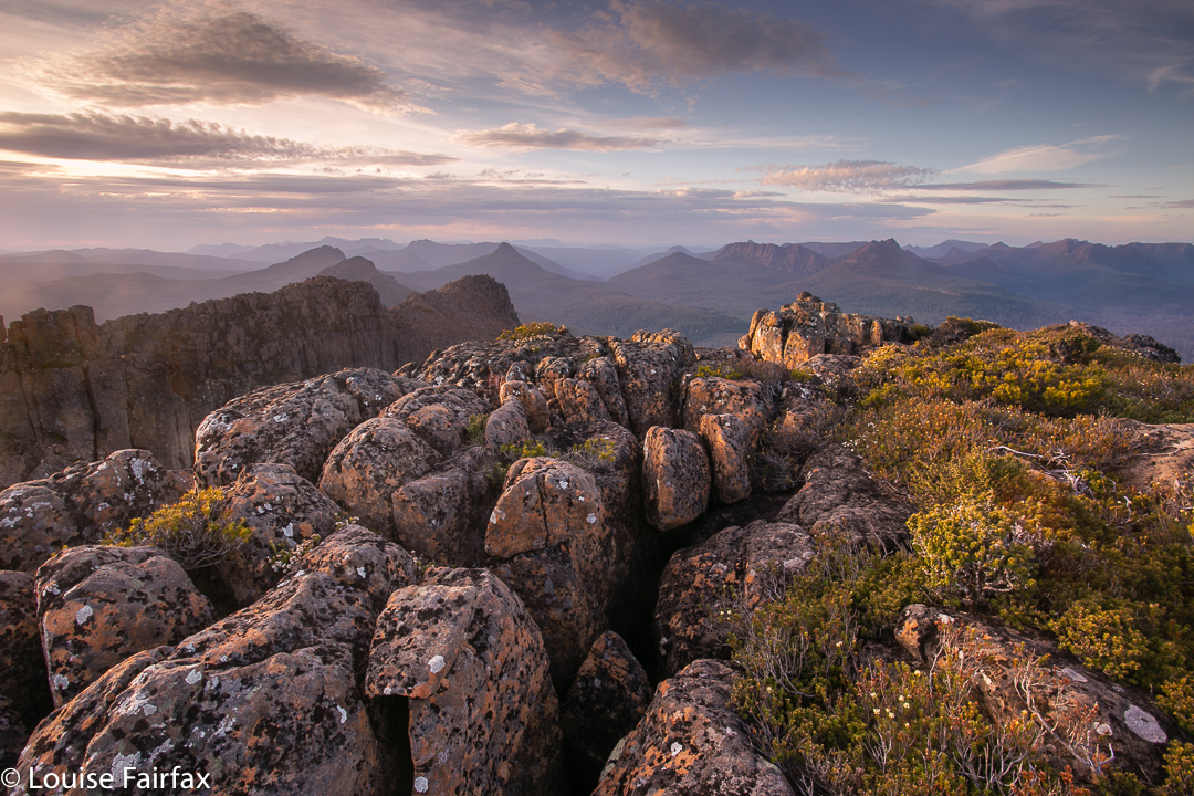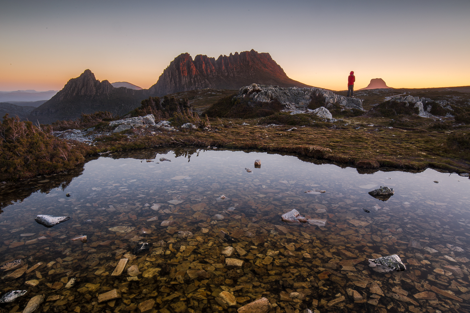
Pandani Shelf and Eves Peak 2016 Jan

Pandani Shelf and Eves Peak to begin the New Year 2016

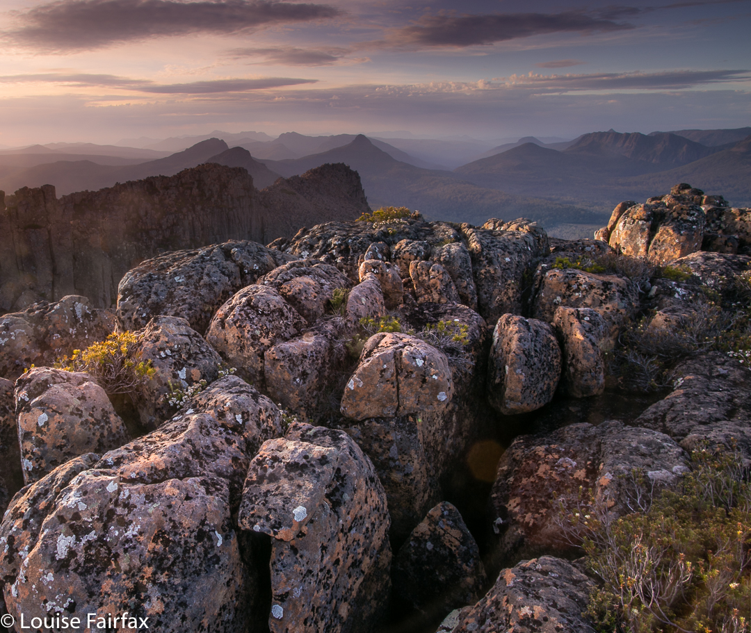
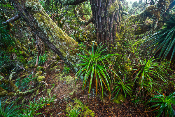
“Ah this is the life”, I said with meaning as I gazed around at our tents pitched amongst King Billy Pines and Pandanis, with swathes of pineapple grass nearby, burgeoning lumps of lurid green cushion plants, a creek of superbly clear water maybe 50 metres away, and Mts Anne and Lot clearly visible, brooding darkly above. Light accentuated the claret edges of the curling green pandani leaves.
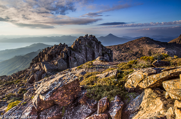

The Wilderness offers many different things to different people, as well as a range of various pleasures to a single person, depending on his / her current mood or needs. It can be a quiet place for reflection or meditation; a place where you can submerge yourself in the almost overwhelming beauty of a vista or detailed minutiae. Or it can be the venue for an adventure – solo or with friends. Some use it as a sporting arena in which they can pit themselves against the challenges of nature, or as the most beautiful workout place imaginable. Many harbour it as an escape from the stresses of work or of modern life in general (it should not surprise you to learn that bushwalking was very popular in the Great Depression of the 1930s; walkers went bush, where the woes of debt and unemployment could easily be forgotten for the time they were there). For many of us, it is a place where our soul finds peace.

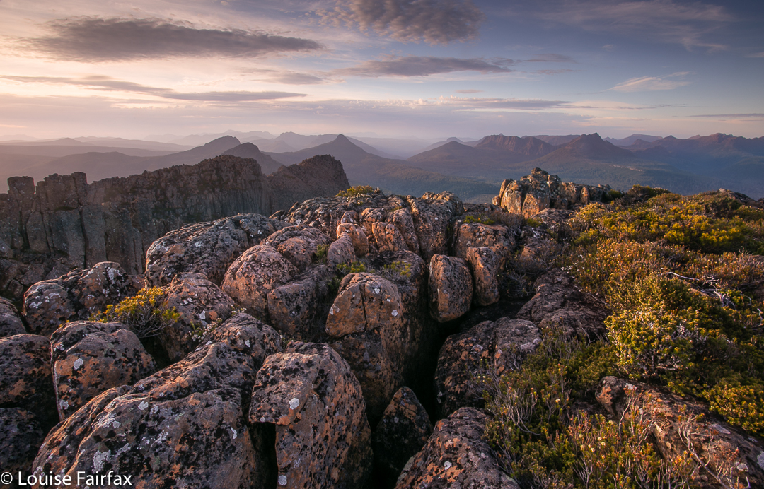
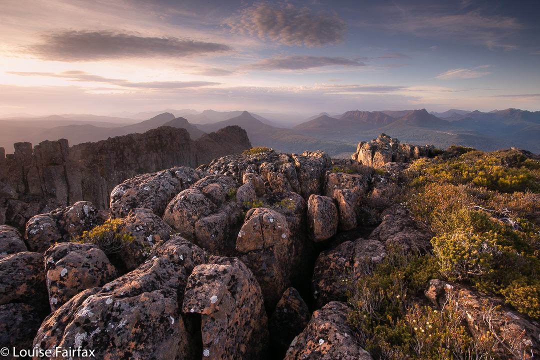
 Wilderness means all of those things on different occasions to me, and there are thus times like last weekend when I go there, not to climb a new peak or have a grand workout in nature, but just to be there, pure and simple: to sit back and stare at the wonder of it all. What better place for that than a circuit that encompasses Eliza Plateau and Pandani Shelf? (Many other places, of course, equal this venue for the purposes).
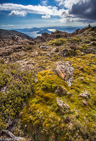

Here, roughly, is our rather meagre itinerary:

Day 1: Drive down from Launie, avoiding (with enormous self-restraint on my part) the temptation to eat cake at The Possum Shed en route. Even so, we started so late I was already desperate for lunch before my pack was on my back. I was promised l could dine at the cute little hut at High Camp, which seemed like a very late lunch to me. Going was much slower than expected, as, not only was the day exceptionally hot (33 in Launie), but one of our party (who claims he didn’t overindulge on New Year’s Eve) was rather ill, and looked the colour of a garish IG sunset after a mere ten minutes. Our schedule became akin to “walk fifteen, stop thirty”. No matter. The view on the ridge was lovely despite the general haze of the day and we had all day to go almost nowhere. We switched from Plan A, which was to camp on Pandani Shelf, to a new plan to sleep the first night on Eliza Shelf. We camped with a massive view, tarns to drink from, and a mountain for me to climb for sunset (Eves Peak).
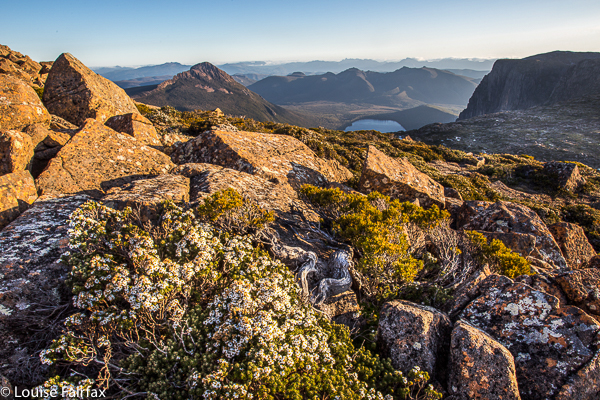
Day 2 was even shorter. We went from this spot to the Anne / Eve saddle, and then circled Anne on the non-walkers’ route side (i.e., to the west). Most climbed Anne from here, before the whole group continued on to the shelf, which we briefly explored before setting up camp. I was not feeling at all well myself this day, so once my tent was up, just sat around enjoying the mood of the place and chatting to the others. It is such a treat to have the leisure to do precisely that and take some time out from always being underway, much as I love movement and summiting new peaks. Mountains offer me healing to refresh me for my role of being my husband’s carer. I was so enjoying this existential pleasure I didn’t even bother going off looking for photographic opportunities.
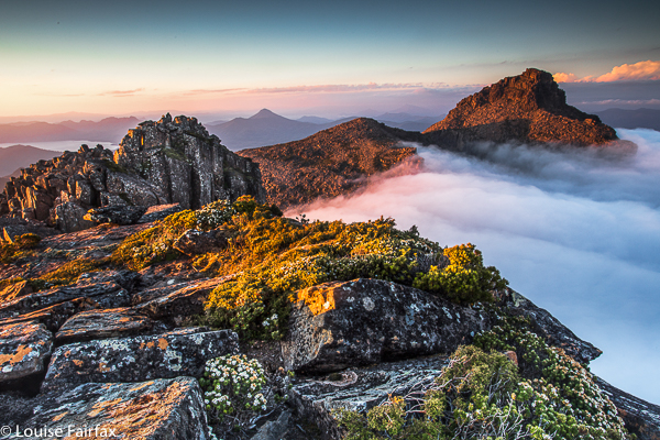
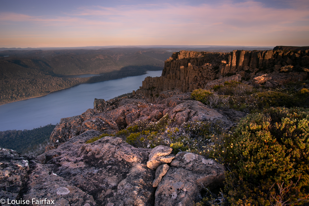
Day 3: On this day, we exited the shelf, walking along the fabulous ridge on which it lies for a while to near where a most dramatic sinkhole can be seen far below. From the small group of King Billy Pines before the hole (biggish cairn), we then dropped steeply off the edge, following an assortment of tags in the rather enthusiastically marked pad through King Billy forest up high, and later, rainforest (lots of wonderful Myrtles) to the button grass plains below. From there it was a trudge along a pad as wide as a pinelog plank on mostly dry mud – although one of our small party of six went in up to her thighs in the goo. After the shade of the forest, the button grass with stunted, face-high melaleucas to be pushed out of the road nearly every step felt glary and relentlessly hot, but the medicine did not take too long to swallow. Unexpectedly, we popped out onto the road. In less than a minute a car appeared, travelling in the wrong direction, but I managed to uphold my unblemished record of success in these matters, and procured us a lift with the very nice driver who agreed to turn around and go backwards for 10km to take two of our party back to get the vehicles.
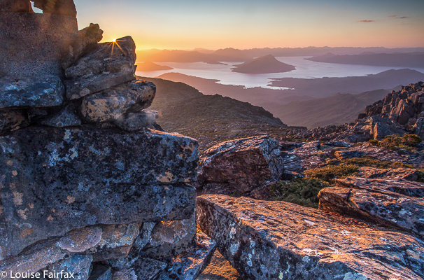
We made it to the Possum Shed before it closed and so had a wonderful time sharing cake and coffee at table together beside the river before continuing our drive home. (No, they do not sponsor me. I say this simply because I love home-cooked food and quality caffeine).
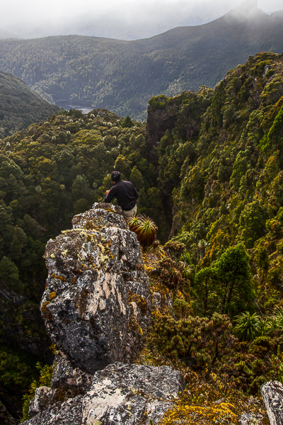
 Rolfe photographing the sinkhole.


Olympus 2015 via Lamonts Lookout Dec

Mt Olympus 2015

I was still an undergraduate when I had my first glimpse of Mt Olympus while doing the Overland Track with my husband. It was love at first sight: it looked so impressive and imposing perched up there above Lake St Clair. “What a view it must have from the top,” I thought to myself.

Time went by; we finished our degrees, had children and moved to Tasmania. And one of the first things we did with our daughters in their new state was to walk the Overland Track. I have a photo of them excitedly running in the direction of Mt Olympus (they seemed to finish every day running with excitement. They were aged 6 and 8 and adored the trail). Each time I have done the track (6 so far), or been in the area, I have wondered about the view from the summit, and have wanted to sleep up there. Last weekend I got my wish.

Maybe three-quarters of the way up Lamonts Lookout

Day 1 was hot, and I love being warm. I was anticipating another wonderful balmy night on our summit. To be on top of a Tasmanian mountain in mild conditions is one of life’s supreme treats: gazing out at the foison of indigo peaks set against the evening sky, whatever its colour that night: peace, sublimity, vastness and wonder. Rest for my soul.

We caught the ferry down the sparkling lake, and began our climb to Byron Gap, along the pad that leads through the fabulous rainforest. All the creeks were running and we drank plentifully from their cool, refreshing waters before popping out at the Gap itself, where we had lunch gazing at the seemingly ubiquitous Frenchman and his beret.

Paul resting amongst the rocks on the final climb

Now it was time to depart the quasi-track and climb steeply through the obligatory band of scrub, complete with scoparia that was sparingly in flower, but the red of which gave a quite Christmassy feel to the scene, and on, higher, to Lamonts Lookout, a rocky perch with a grand view. More rocks, more traversing, a bit more climbing and there at last was the summit cairn. The wind picked up mildly as we breasted the final rise, but nothing to cause concern.

Sunset from Mt Olympus

We dropped a few metres to the verdant green spread below and chose our spots – a tarn or two to each person, right at the tent door if we wished, and views to dream about. I chose an angle that included a gaze that embraced most of the mountains I love from the Overland Track region. I could discern everything from Pelion West south. Heaps of friends there! Over dinner, Paul recounted a time when someone once asked him: “What mountain is that?”, to which his reply was: “I don’t know, but I’ve climbed it.” (He has climbed every Abel and every mountain worth a point on the peak baggers’ list.) I have not climbed as many peaks as he has, but have amassed enough to understand how it must feel, as when I look at the skyline these days, it full of mountains whose moods and intimacies I know. I have climbed every Wainwright in England, so I do know how satisfying completion feels.

I photographed the sunset out on a perch, my tripod anchored. It was a bit breezy, but nothing to make life tricky. Our tents flapped rather noisily, but nothing in our purview bespoke danger. No one suggested retreating, although everyone agreed we could be in for a noisy night until the wind abated. Far from receding as predicted, however, the wind intensified as the night progressed, constantly changing direction, and often making the fabric crack like a whip as it lashed in a new tack. I had tightened everything before turning in, but by midnight, had to get up and redo each peg and guy rope.

Sunset from Mt Olympus

At 2 a.m., the lashing was so violent I had to get my head torch and go outside to examine what was happening. The fly had filled with air like a spinnaker, and had lifted the pegs out of the ground. They had been hurled into space and were not to be found. I tried to find rocks to provide stabilising anchors, but the wind made mincemeat of that. As fast as I attached a loop to a rock, the wind just filled the fly and it rose, tossing off its rock as if it were a ping pong ball (although they were rugby rocks). I placed the few pegs that were left into key positions and retreated.

Sunset from Mt Olympus

Unfortunately, this needed repeating at quarter-hourly intervals, from then until nearly 3.20, when conditions changed. By this time I had lost an absurd number of pegs, and rain now started. The wind intensified even further. The fly flapped and banged, a wild thing; I was lifted from the ground with each gust as my moorings were gone. I wondered if I was about to end my days being blown over the cliffs of Olympus in my tent. I also thought about how wet I and my sleeping bag were about to get. I am highly susceptible to hypothermia, so was entering dangerous territory. How long do you leave it before you cry for help when doing so is going to greatly inconvenience someone else? I lay there.

Tents on top.
3.40 was crunch time. There was an almighty crack as the wind twisted and broke one of my pole sections and drastically rearranged another, thrusting it through the fabric. Now what was left of the tent crashed against my face. Only the guy ropes prevented the Great Escape. I was about to get soaked. Time to exit. Still I was reluctant to disturb anyone else, so circled the others’ tents, wondering which one to use as my new harbour. The Microlights’ vestibules were full, I could see, but the Hilleberg looked as if it had room. Rohan was sleeping, I assumed. I didn’t want to wake him and didn’t want to impose, so circled some more, finding his gaiters that the wind had stolen and transferred to the nearest tarn. I fished them out. Rain strengthened. I was going to wet my only clothes if I continued this vacillation. Reluctantly, I called him to ask if I could sleep in his vestibule. Permission granted, so in I climbed and, exhausted, fell asleep on the ground. However, I was only wearing my light orienteering gear with a jacket on top, so soon woke up, cold. Rohan kindly leant me first his overpants and then his bed socks. Once more I drifted off. Later, he realised I’d be warmer if I came in, so I accepted that offer, too, with gratitude.

Packing up next morning was a huge challenge. I had to dive under the still manic fly to pull any of my strewn belongings out from inside the tent. I had to stand or kneel on anything extracted, which made getting the next lot tricky, and several times I lost my grip, to end up chasing flying gaiters, socks and more. Even one boot ran off. I needed a dozen more arms to do this job. The others all had the luxury of packing up inside their fly and only emerging at the end for the tent-dismantling stage, but all my rumpus was being conducted al fresco, and with a minimum of style or success. I was still fighting my belongings and the others were obviously ready, waiting for me. I hadn’t even eaten. Being prone to hypoglycaemia as well as hypothermia, I couldn’t take off without any food. There was no point. I would quite literally faint on them within a half hour. My compromise was to have a muesli bar and a glug of water – not nearly enough for a person who normally has a super-giant bowl of muesli and a couple of bread rolls (and three cappuccinos) for breakfast. I am like one of those old cars you have to fill up at every town. No doubt quite annoying. This spelled trouble. Within half an hour I was sporting a headache; I was mildly dizzy and uncoordinated all morning.

Normally a happy rockhopper – called by others a gazelle – today I was a clumsy oaf. Not only was I clutching tenuously to consciousness, I was being blown sidewards by the gusts of wind. My reaction time was slow and I didn’t dare leap or practise my tightrope technique on the edge of rocks. I was cautious in extremis, which made me very slow, but eventually I made it over all the boulders to the other, second and slightly lower southern summit of Olympus and a different kind of view.

The rest of the day is a blur. I can tell you we exited by the unloved Cuvier Valley. The way was long and it hurt. Mostly, I was plodding along trying to last to the end in the face of increasing pain, which had now set in rather badly. I also felt defeated, which did not engender great brio. Somewhere near the end  it seemed that the track had disappeared. Every way was the wrong way. I was almost delirious with pain and could not see clearly, either literally or metaphorically. Thinking was beyond me. I no longer cared what happened. I was executing a plan (slowly, in an almost oneiric trance) when I heard Angela’s voice, sounding distressed. I called back and headed towards her. She was worried about me. The only warming thing that happened to me on this day was her obvious pleasure and relief at seeing me safe.

Cradle Mountain 2015 Dec

This trip into the wilderness had a completely different feel to it than normal excursions whose intent is to summit a mountain.

This one had no summits (and no points), and added nothing to any of my collections. It wasn’t even a workout – I had already had a run and done Pilates that day, although I did climb up a couple of hundred metres. And it wasn’t about fellowship with kindred spirited friends: I was solo. It was just about being there, up high in the vastness of nature and having it all to myself. Somehow you merge more easily with the expansiveness of infinity when you are alone.

I love my solo routine. It is so unhurried. I had fun photographing before I retreated further to my own private spot in the light that was left to me: unreachable and invisible up high. I wasn’t hungry – I hadn’t really done much work – but decided I like the ritual of boiling my billy and eating my dehy concoction watching the last of the fading light, so carried it through.

At 3 a.m. I got up to check out the stars. I had my tripod all ready to do some night photography, but I have never seen such a black night: not a star in sight. I clung to the tent in case I should somehow lose it before retreating back inside.

The morning schedule mimicked that of the evening: boiling water, consuming a little hot food, taking lots of photos around sunrise and then exit. Even with that early start, I came across the first of the tourists on their way up the mountain about half way down the Marions Lookdown route – an Austro-Italian combo. They seemed nice; we had a small chat as we passed each other by, but I felt less friendly towards them when I found a fresh pile of human faeces nestling right on the edge of the track, along with two filthy bundles of toilet paper.

When back at Dove Lake, I went down to the water’s edge to decide whether I wanted a photo there: sublimity, clarity of water, shapely pebbles, one of the world’s iconic mountains …. and another pile of human faeces. There is a toilet block 100 metres away. I was disgusted!! How can you go to such a beautiful area and then wantonly desecrate it? I leave it with you to find a sensible solution to this mystery. I shall try to not let it cloud my memories of beautiful mountains, trees and water.

Nescient Peak 2015 Dec

Mt Rogoona from the valley which we climbed up to. The shoulder of Nescient, which we used to ascend her, is on the right there.

Nescient Peak. There was something incredibly tranquil about this day – perhaps partly caused by the fact that this was the first day since winter that there was a feel of summer in the air. The Examiner reported today “Summer is here”, and indeed it had arrived. Perhaps the feeling also sprang from the fact that this was a Monday, and one doesn’t normally climb a mountain on a Monday, but my friend Angela had the day off and I was free, so here we were in good spirits, ready to try the taste of another mountain on Tassie’s wondrous smorgasbord of high points.

There is another shoulder of Nescient. I am toying with you … hiding her to arouse curiosity. Angela taking a welcome drink from the tarn. The day was hot.

I have decided I love climbing mountains that have received bad reports elsewhere. It’s not that I’m perverse, seeking to find pleasure where others have found pain: I think it’s just that if my expectations are set low, then reality has a good chance of bettering my anticipations, and I am left pleasantly surprised.

OK. Here she is. Ta da. Nescient peak in all her glory, given a photo at last.

The writer of the Abels essay on Nescient Peak was quite clearly disenchanted: in the opening sentence of instructions on how to get there, the reader is admonished to wear scrub gloves and gaiters, as if this were the most important thing one would need to know about this mountain. I suggest the author visit the Coronets to gain a different perspective. It made us feel as if this mountain were a kind of medicine that good people had to take in order to keep healthy. As a result of the warnings, we kept commenting to each other on how easy this bush was to get through; how light and malleable the small branches.

A summit cairn that leaves you in no doubt that you’ve arrived

We did have to agree that the first glimpse of our mountain was “unremarkable”, but I still found it attractive enough to want a shot from a few angles. The book insulted it by only publishing an image of the very prickly Coprosma nitida (mountain currant), as if any image of the peak would detract from the beauty of the book – like dismissing an atonal person from the choir.

We enjoyed our lunch spot beside the cairn with moss and flat rock to sit on, and a spot of welcome shade.

Next criticisms were directed at the apparently awkward navigation (in nuce, head west, over two contour bumps and the third and highest of the contour collections is your goal), and the fact that apparently the ground was very rough underfoot. We were in the bush. The ground was neither better nor worse than any other bush. If you want a smooth highway, visit QLD. They vacuum the forest floor there at 7 a.m. in case tourists should sue them for having uneven ground (I kid you not. Pity about the hideous noise and smell of petrol in a National Park). Again, expecting the worst, we felt nothing but pleasure in not finding it. You could run through that bush (if you were an orienteer), and the rocky knolls were fascinating and shapely. I loved them, and climbed over them on purpose. “This is fun”, we agreed to each other as we climbed.

Summit cairn and teasing trees

The “difficult to discern” summit stood out loud and clear to us, and even the complaint about the presence of trees fell on deaf ears. We enjoyed having a patch of shade in which to enjoy the view and have our compulsory summit-lunch, and I liked having a frame for the scene provided by leaves and trunks. I don’t want that on every mountain, but was happy to have it on this one. It seemed appropriate here. Of course we could see Mt Rogoona, but what that interested us the most was the unmentioned (by the book) King Davids Peak and Solomons Throne: it was fun to see these old friends from a different angle. Lakes Bill and Rowallan were very appealing from up there. And on the way down, once you’d started the very steep descent from the high moorland, we enjoyed views of Lake Rowallan that did not disappear, and that got bigger with each step. We’d taken, in walking time, 2 hrs 15 up; 2 hrs down, which made it a great daywalk, and meant it was short enough to have what was, for us, an uncharacteristically late start. Perhaps that also helped create the feeling of tranquility that I referred to in my opening sentence.

And a parting shot of Rogoona

Confessions of a sinner, in case it helps: that ‘up time’ includes mislaying the track somehow: one minute we were on it, chatting away as we climbed, the next we weren’t. I am always a person on a mission on the way up anything, and Angela is a very agreeable soul, so I suggested we just bushbash our way south until we happen to intersect with the pad, and she agreed that would be fine. I’d much prefer that to wasting time finding a pad that you don’t really need anyway. As predicted, we did get back on to it a bit later.

Our route from the pad on the marshy land below to the summit

Adamsons Peak 2015 Dec

Adamsons Peak, Dec 2015
On the moor land before the final climb

The hardest part of climbing Adamsons Peak was getting to the start line, and I had always suspected this would be the case – ever since I heard that the old road was closed (and, apparently, has been closed since 2008, which seems to me rather a long time to fail to repair a road that could be well used to give tourists something to do in the Dover area. Perhaps the local council hasn’t yet figured out that modern tourists want to do something and only tourists who are nonagenarians want to sit in a car and drive all day).

Here we have a grand mountain with a track all the way to the top, a relatively simple climb – as long as you have a little fitness – and grandstand views of the coast, Federation Peak, La Perouse, Pindars Peak, Precipitous Bluff, Hartz and Snowy mountains and the list goes on. Today was quite a murky day, being a lull in between two storms, but the view was still highly enjoyable. Judging by the number of tourists who climb Queensland’s Mt Sorrow, a much steeper and harder mountain, I think it is a waste of an opportunity to keep visitors in the area for an extra day. Perhaps even a couple of ten dollar signposts directing people along the huge and odd detour one now has to make could go at least some of the way to helping provide amusement for people who would like to be energetic in the area.

So, how do you get there? Continue driving south past Dover for about four kilometres until you reach the bridge over the beautiful Esperence River. Turn right just before this bridge onto Esperence River Road, and follow this for about ten kilometres, until you see a fork that you can take to the left on Esperence Road that takes you down over the river. After you have crossed, you turn left again, onto Peak Rivulet Road, ignoring all the spur roads that lead uphill to your right, and, staying on that road, you eventually arrive at the signed start to the walk (and a point where parking is easy).

Very near the top now

Once you have managed to find the start, the rest is easy. The steeper sections were in beautiful lush green forest, and the flatter sections contained the usual bauera, cutting grass and mud. There was an “introduction” section, then a relatively steep climb, a flatter section (= bauera etc), then another climb, where the forest type reverted to lush moss and myrtles, and then you were out on the top plateau. This took members of our group between one hour forty and two hours. The moor section has a few deeper mud baths to test you out, but these are soon dispensed with, and in not too much time, you are embarking on the final climb to the first lump you can see when you emerge on the moor, and, finally, the rocky summit itself. And then comes the reward: lunch with your well-earned view.

One of the summit views (to SW)

Please note that words like “simple” and “easy” are relative and not absolute, and are used within the context of this writer’s other experiences. If you begin a walk dubbed by somebody as “simple” and you find that you disagree with their terminology (perhaps you even doubt their sanity), it would be very wise to turn around before you land in difficulty.

Looking towards the coast. We could see Southport Lagoon and beach, as well as Bruny Island, the d’Entrecasteaux channel and Dover far below.