I was told that to get to the “real” Ford Falls, I “JUST” had to follow the Ford River down until I got to the falls. Now, if you know anything at all about this area, you will know that contours fill the map around these falls: it is very, very steep, and very rugged, with unmapped cliffs all over the place, and scoparia in between. I would personally find the word “just” to be inappropriate. But maybe this time I was mistaken. Perhaps it is not as formidable as it seems. Only one way of finding out. Hm. Maybe curiosity will one day kill this cat.
I was nervous going solo in such territory (which I treat with absolute respect), so made sure I not only had my PLB, but also lined up a friend who was primed to call SES should I not be out by 6.30. I didn’t trust my informant sufficiently to believe this would be a piece of cake, especially when his particular words mean that I doubt he has actually been there himself.
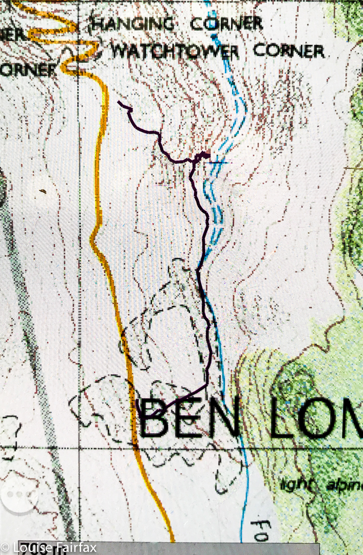
Ford Falls route
I set out from home at 2.30. I thought that meant about one hour driving in each direction, and one hour by foot to and back from the falls. Alas, the car trip took a tad longer than an hour, which then made me feel under time pressure for the foot part. Off I hurried. At first things went pretty well. The rocks were only mildly slippery, but I was not visible from the road, and the rocks are quite angled, with big drops between them, so I moved with enormous caution.
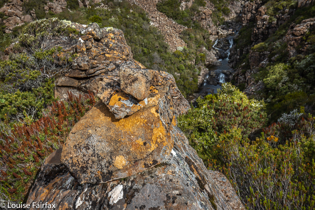
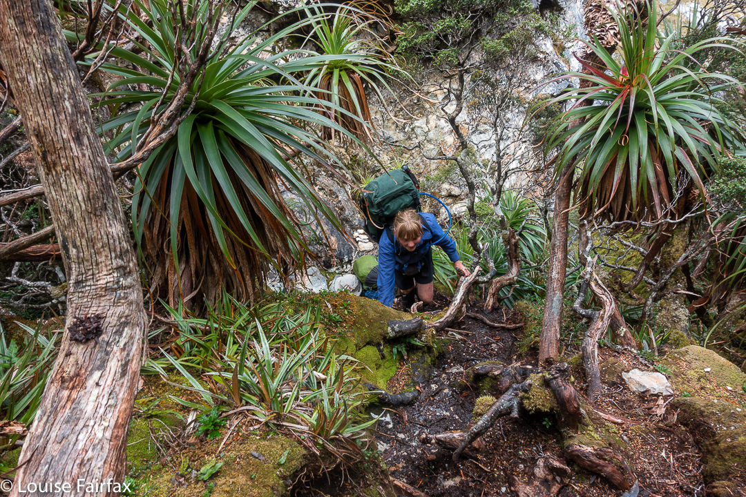
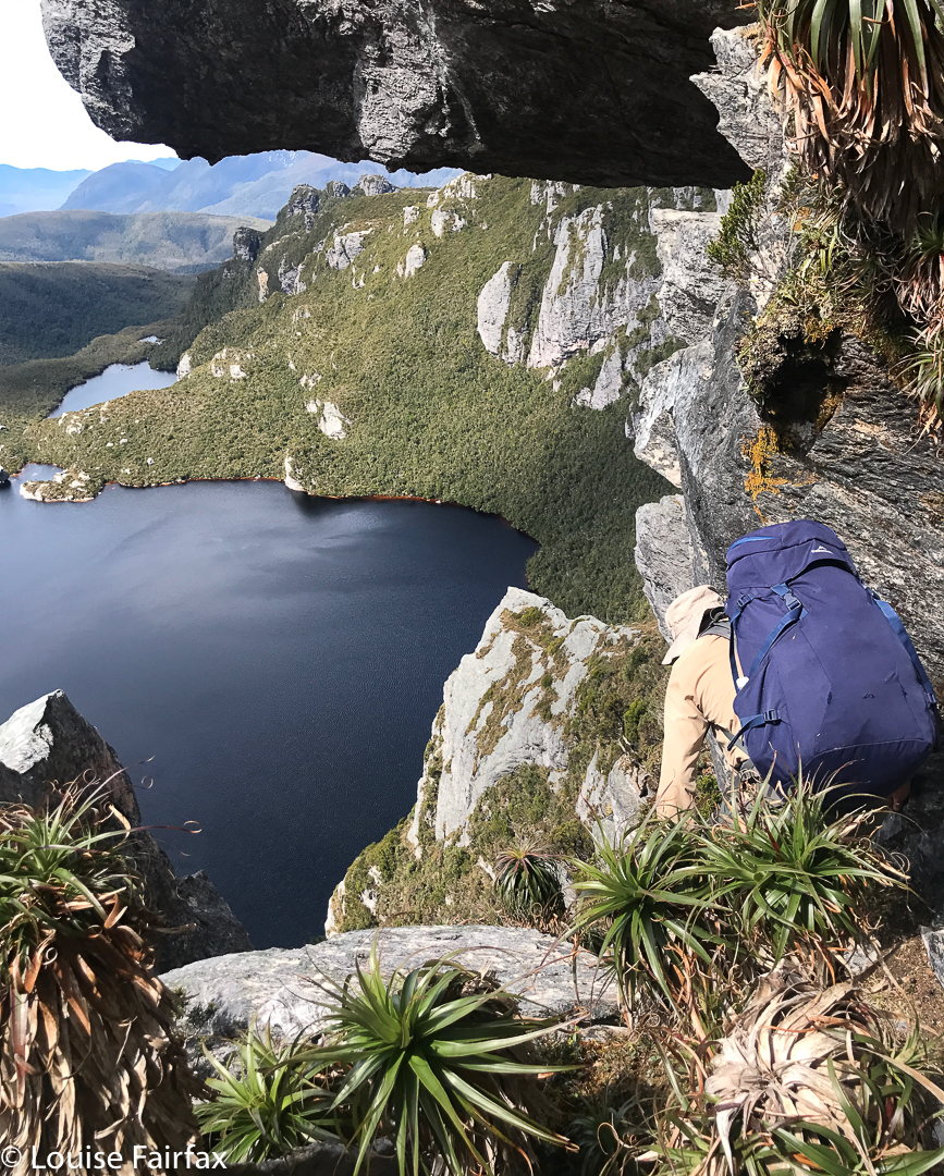
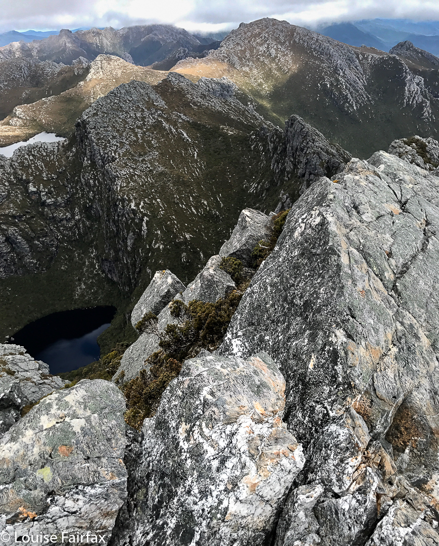
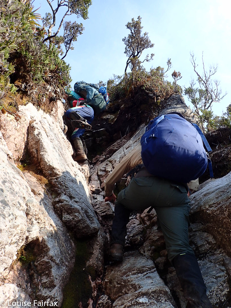
As I feared or suspected, after a few hundred metres, it became impossible to actually follow the river. Steep cliffs dropped into its waters from both sides, and I was forced back up the hill, and into swathes of thick scoparia as I wended my way forward. Higher and higher I went. Time went by. To my amazement, I then found a cairn. But where had it come from? Where was it going? I scouted around for the next cairn, but failed to find it. Its presence made me feel that I should try to go back down to the river at this stage. I tried a couple of options, but they were all too dangerous. My gps said I had arrived, so I hoped that the waterfall below me (pictured) that I was gazing at was Ford Falls REAL, photographed it, and cleared out. As you can see from my route, I just scaled the contours straight up, as I decided shorter was better at this stage of the afternoon. (It was much better, and faster!) I had been lower than this photo, as you can see from my route, but that spot gave the best view.
I drove home feeling utterly overdosed with adrenalin. I got in phone range on the way down Jacobs Ladder, so was able to let my backstop know I was out safely, even if I was drowning in an epinephrine bath.
When we first bought our home and looked out the window, we saw a mountain that everyone calls Ben Lomond. I can see it clearly enough from my bed to know whether there’s any snow, or whether it’s smothered in clouds today, which is kind of handy. Years later, I learned that ‘Ben Lomond’ refers to the whole high plateau; the actual highest point on that overall rather flat but high massif – indeed, the second highest point in all Tasmania – is called Legges Tor, a lump higher than the rest perched above the small skiing area.
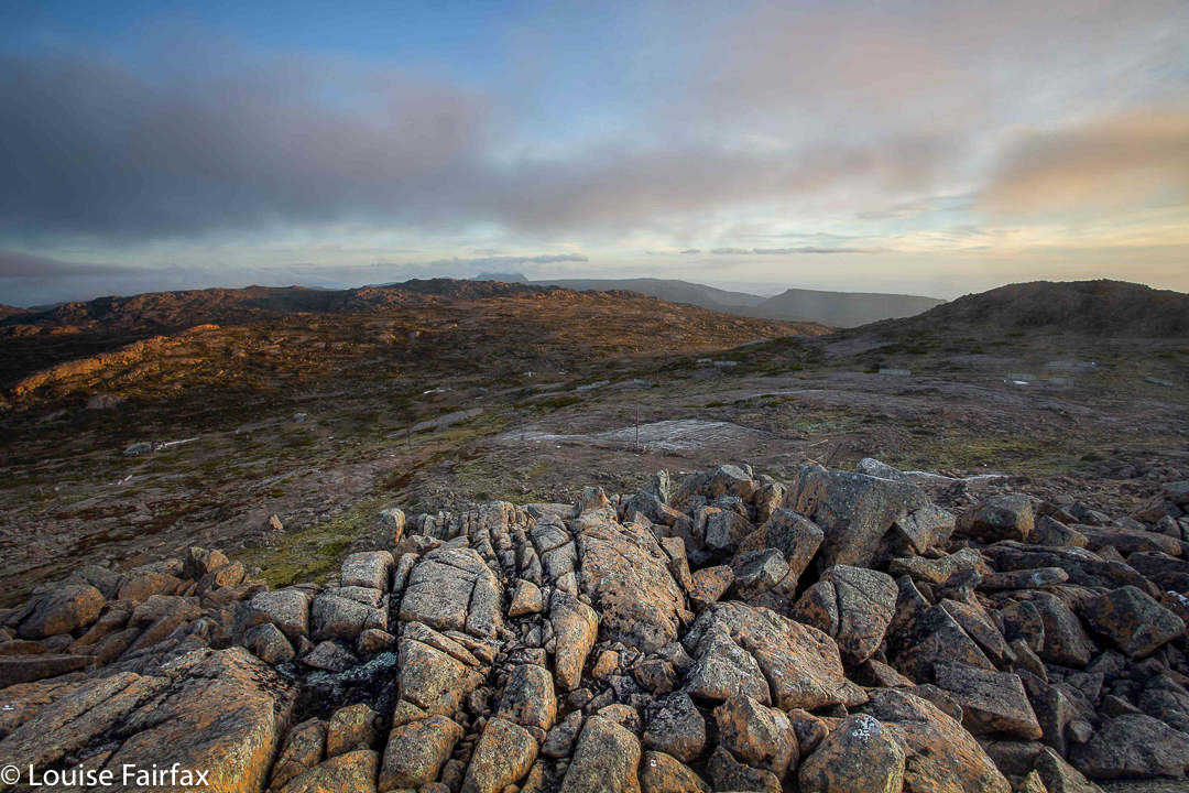
Legges Tor summit view, Ben Lomond
To stand atop Legges Tor in summer, is to survey a high, windswept plain, rocky, almost featureless in its barren expanse of broken dolerite. Other very high points are only just visible in the distance, and their shapes do not demand your attention. This is very different from being, say, in the dramatic Western Arthurs, but with your hair blowing in your face, and a chill in the air, you can see for great distances, and the emptiness – the sheer volume of negative space – somehow enlivens your senses and makes you feel fresh and refreshed. Dolerite rocks with their patterns of lichen and tough little alpine bushes earn your respect for their ability to inhabit this inhospitable zone. It is not crowded up there, to put it mildly, adding to the sense of desolation that is characteristic of being there: you feel tiny in the presence of such enormity, which leads to a feeling of the sublime. If you want a ‘Wuthering Heights’ experience, then this is as near as you can get. For me, the only other place that feels the same is Iceland.
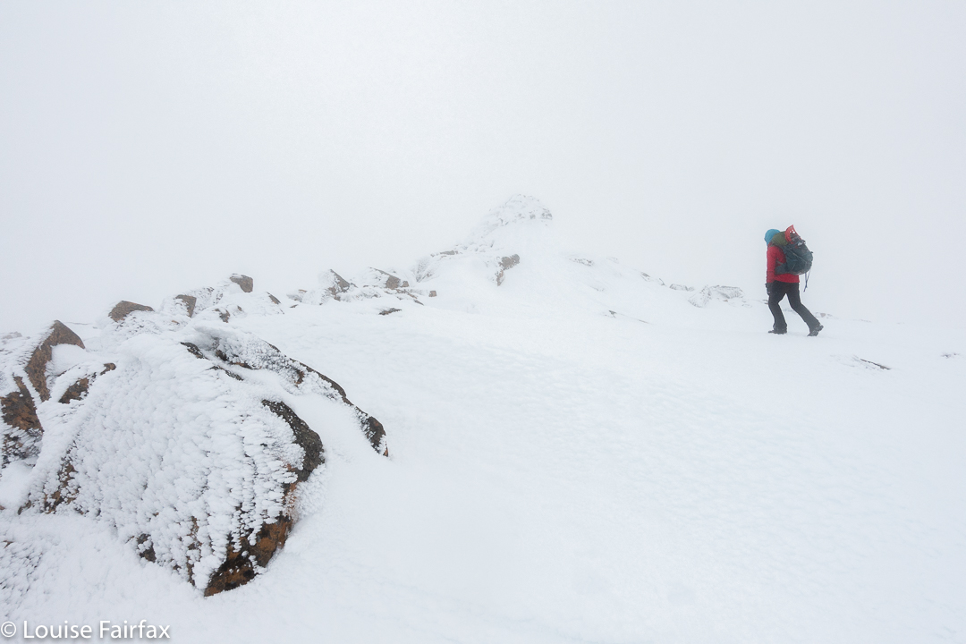
Legges Tor winter ascent
There are heaps of lumps and bumps to climb up here, but in this blog, I will concentrate on the ones I have climbed in the last eight days, namely, Hamilton Crags, Stonjeks Lookout, Whymper Crags, Markham Heights and the Plains of Heaven.
Stonjeks Lookout from Hamilton Crags (a selfie ha ha)
Hamilton Crags pose little mystery for me, as I have ceased to tally the number of times I have visited the top (not that I’m sick of it). Summitting yet again was just something to be done on the way to Stonjeks Lookout. Now, this WAS fun. What an impressive-looking bunch of congregated rocks, pointing to the sky and offering their challenge.
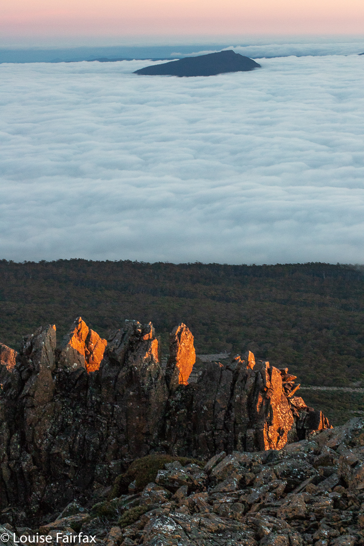
Stonjeks Lookout catching the sun
It seems that Tony Stonjek, after whom they are named, was also oriented to reach for the sky. He was a champion skier who had represented the Czech Republic (then called Czechoslovakia), and who arrived in Australia as a refugee after the war. As a child, he skied to school, skied down the 150 steps of his church, and skied across the Polish border to pinch wood. He won so many skiing titles in Tasmania that most people lost count. The rocks have added spice if you familiarise yourself with his history. They are demanding and fun.
The third item on that day’s agenda was Whymper Crags, which are just further along the spur than Hamilton, and which, at their highest point, offer commanding views to the Jacobs Ladder approach to the massif, and to the cliffs that form the lower part of Markham Heights. One sees Whymper Crags every time one drives in, so it’s good to have at last climbed up there.
Markham Heights, rear end with bellendena montana (Mountain Rocket) in foreground
One sees a lot of Markham Heights, too, and yet I have never visited them. I decided that today was the day. I didn’t have a clue how long it would take. All would depend on how rough it was along the tops, and whether the scoparia would pose a problem on the approach.
Markham Heights does have interesting angles. (Taken in winter)
Just in case the scoparia was nasty, I decided to use the Legges Tor track to gain the height I needed, and then hive off right when the opportunity looked good for a lead in the direction of Markham. There seemed to be a line of weakness in the marshalled defences of the scoparia slightly before the highest part of the broad spur heading in its direction, so I took it, figuring if I was wrong, I could climb higher later. Markham Heights did not lie on this particular spur: it was just a kind of feeder.
Scoparia near Markham Heights summit
There were appealing little lanes of Pineapple grass and other low-lying alpine vegetation so I could make handy forward progress: handy, but not speedy. Predictable at the height of 1500 ms, the wind was quite strong (this is February, but I had two Icebreaker layers, two coats and two hoods over my head), and it kept blowing my hair into my eyes. One had to search for the leads: they didn’t yell their welcome at me, so I zigged and zagged about the place, avoiding prickles, and eventually found myself reaching the summit one hour after leaving the car.
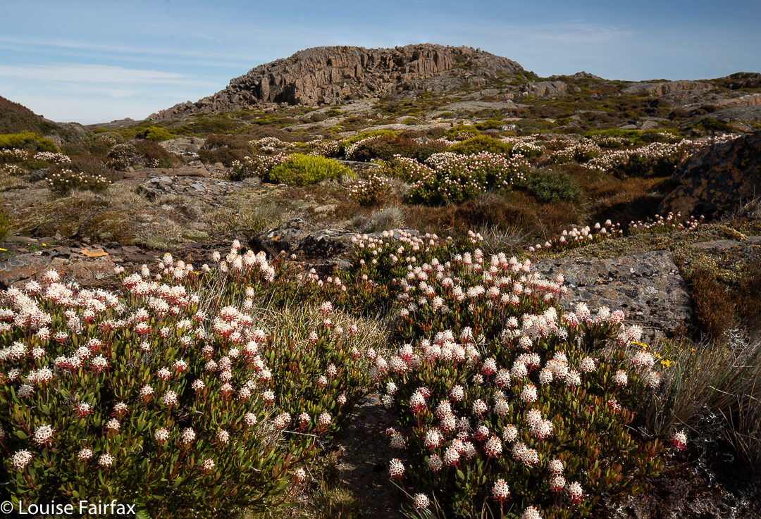
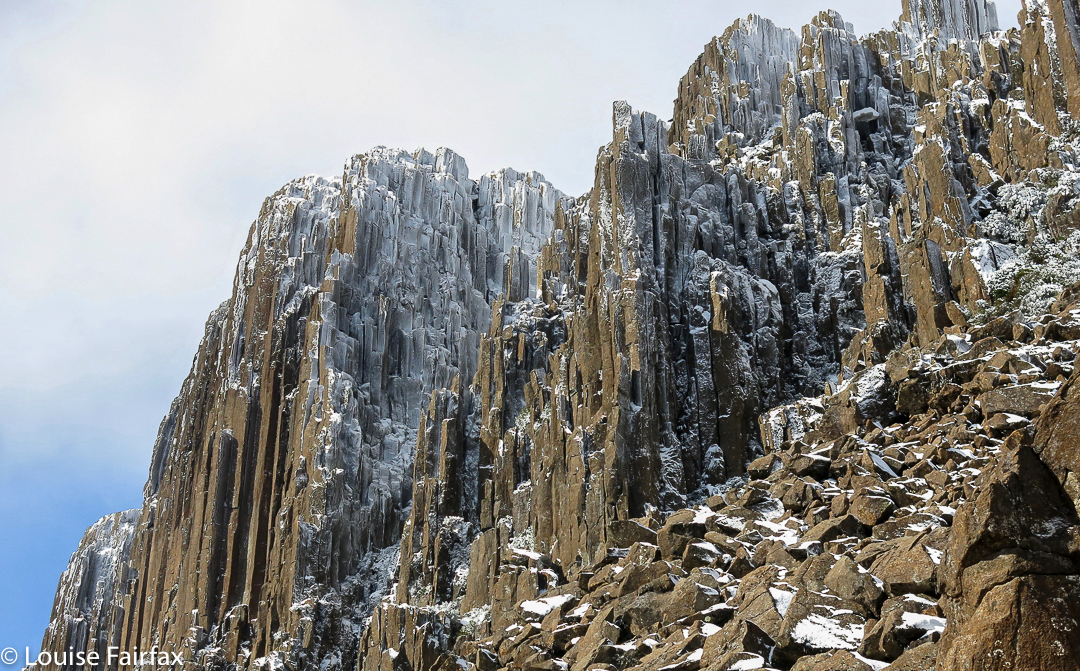
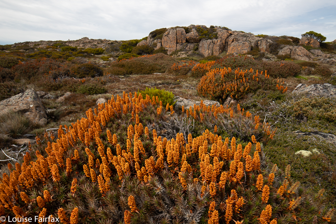
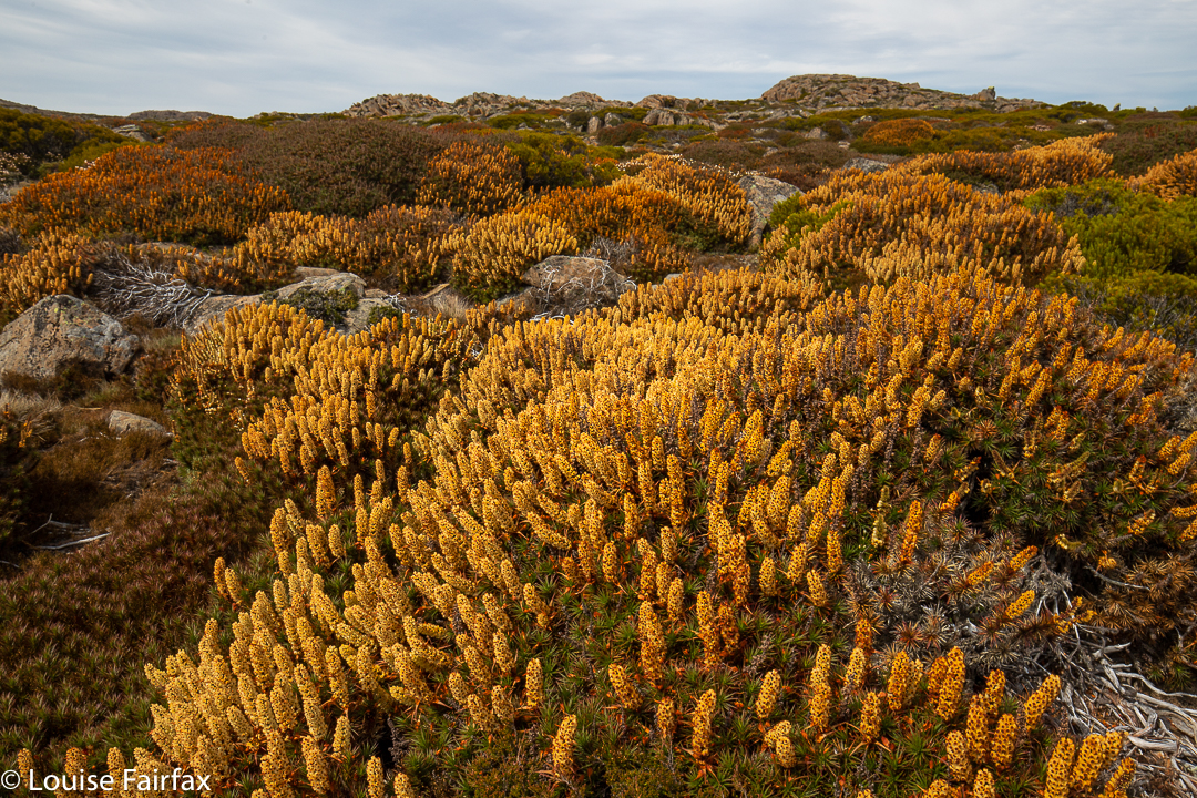
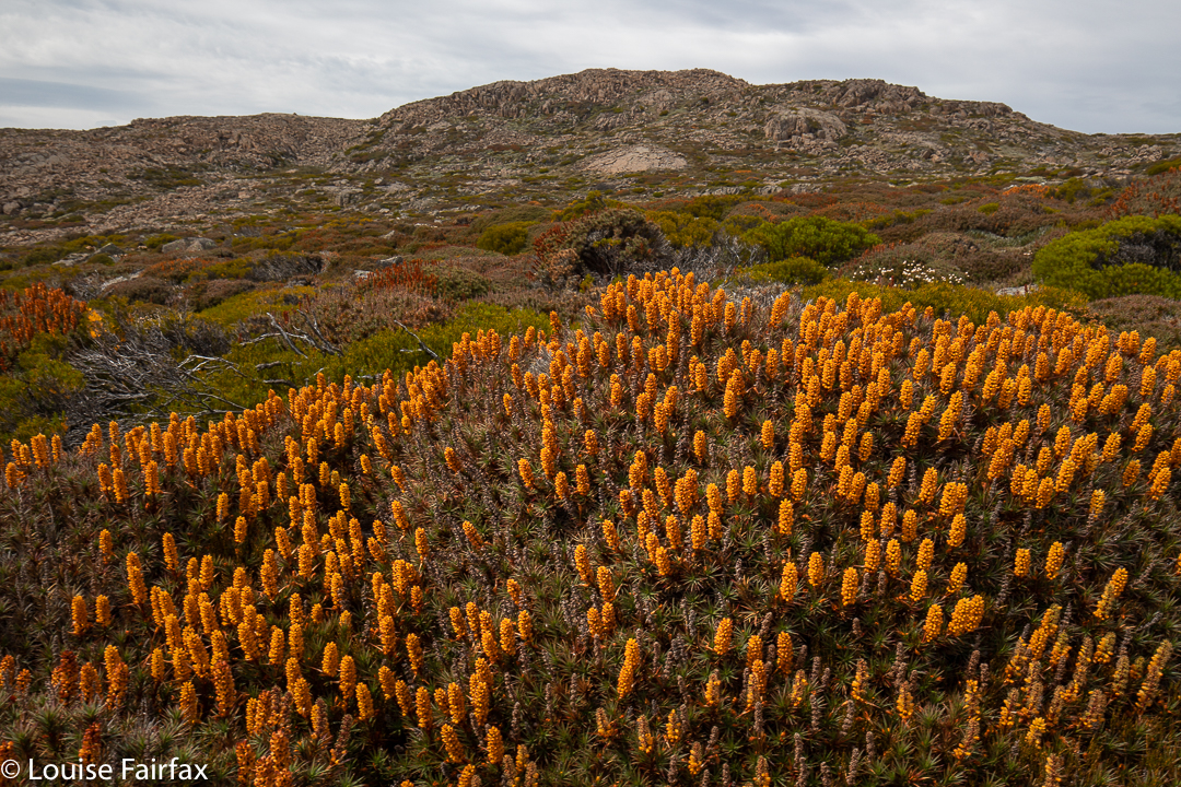
Scoparia in bloom – and it’s 22nd January!!
I was enjoying being up there, and so also visited the next lump along to the west, which is nameless, but which stands at 1534 ms asl. It had a cairn that had called me over. For my return route, I decided to use the spur that ran parallel to the valley I had come by. What a terrific fluke of a decision that was. This area is magic. The scoparia had been surprisingly good for this time of year, but on that spur, it was amazing, especially with the added colour from the flowing bellendena montana. Daisies and other flowers were also out. The walking was even easy, as the scoparia was a little thinner on the ground, and there were huge cushion plants as well. As usual, the were countless mounds of wombat poo but no wombats. Three wallabies hopped away, but that was all.
More scoparia. (No reds or pinks here)
This spur had a cairn at its highest point, so I went and touched it. It was just the world, the wind and me … and all those flowers. What a beautiful place. When I got home and stared more closely at my map, I saw that it was called Plains of Heaven. What a prefect name. I wonder what it looks like when the scoparia bushes are actually in season rather than just popping in here and there for a late show. I’ll let you know eleven months from now.
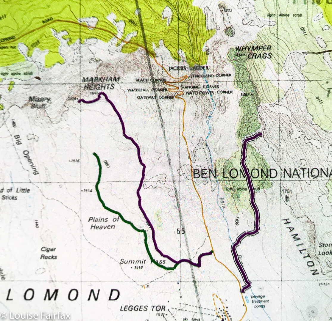
Markham Heights route
Above are three routes: far west is part of my route back from Markham Heights (sorry, I bumped the tracker off); middle is my route to Markham heights; far east is part of my route back from Whymper Crags. It only occurred to me part way through the journey that people might like a copy of the route. It all seemed terribly straightforward, but there it is anyway.
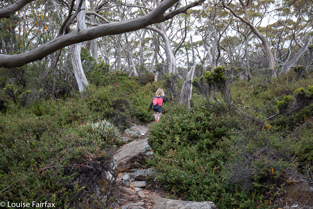
We were faced with a quandary on the final day of our short holiday at Mt Field National Park, as we were there with a four and an eight year old, and had already been to the three well-known waterfalls (Russell, Horseshoe and Lady Barron) the day before. On this day, we only had a pitiably short amount of time, and we wanted to go high. We decided to go as far as we could along the Mt Field East path, and just turn around after forty-five minutes. However, after a time that was not very long, and well before we needed to turn around, we reached the turn-off to Seagers Lookout, and decided it would be our destination. Little Abby was coping much better than the previous day, enjoying the challenge of this rocky path where you had to think before you put your foot down, and where you could play jumping and bouncing games while you went.
Abby enjoying the rocky track
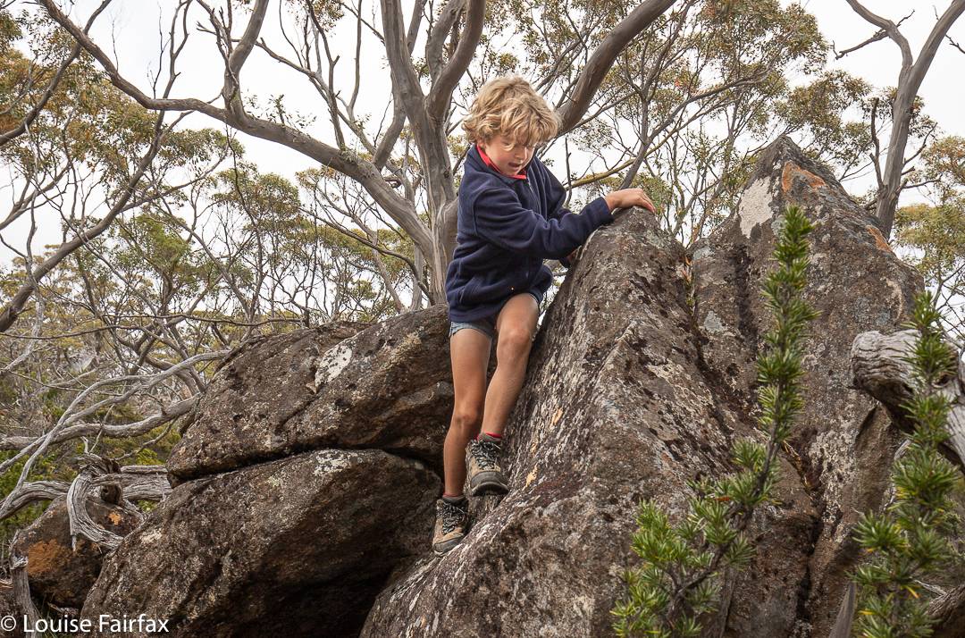
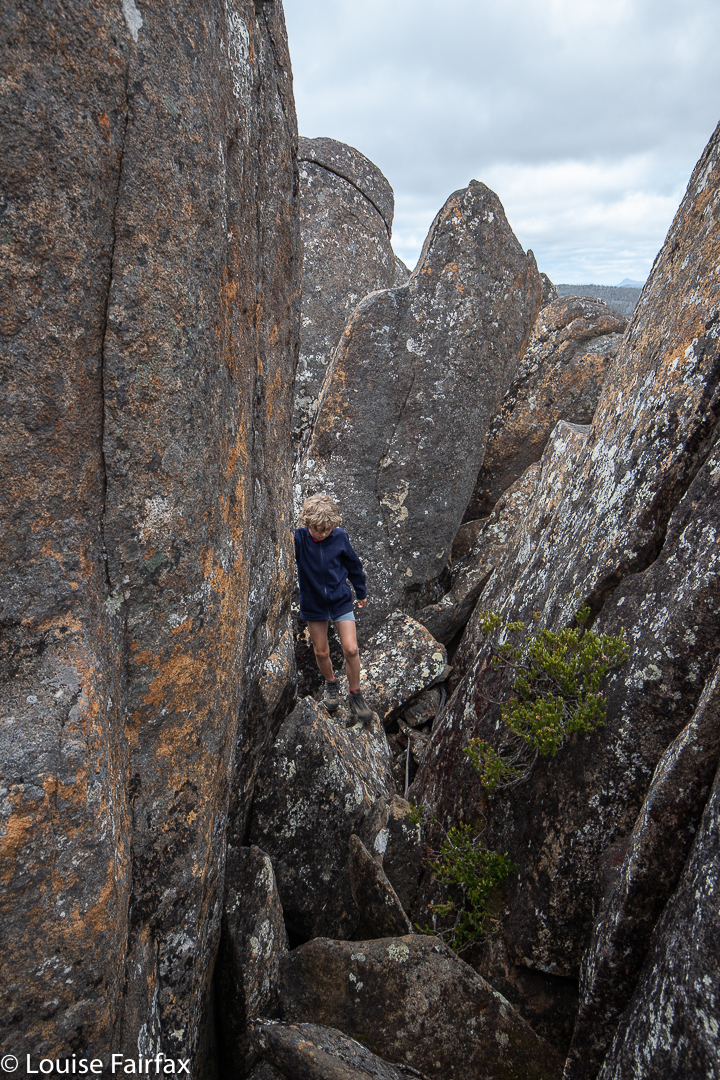
Gussy and I played other games on rocks, climbing this and that while we waited for Abby. Luckily, our turn-around time came just as we rounded the corner that promised our goal. We figured we’d wasted a lot of time balancing on the dam wall at Lake Fenton, so weren’t too worried. Abby and her mum settled down to enjoy the obligatory lollies that one has when one reaches one’s goal bushwalking, while Gussy and I climbed the rocks to touch the summit cairn.
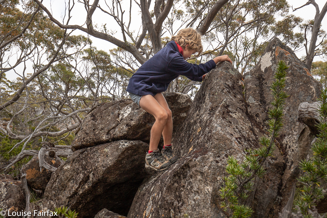
Climbing this and that while waiting for his sisterClimbing this and that while waiting for his sister
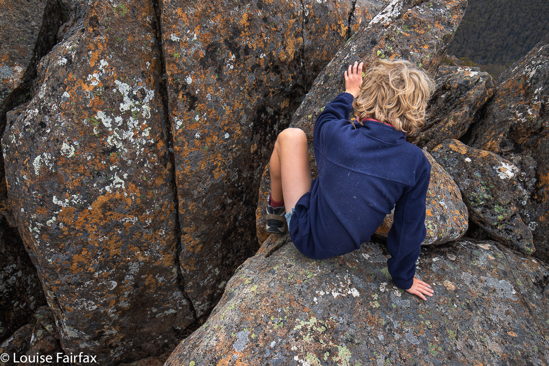
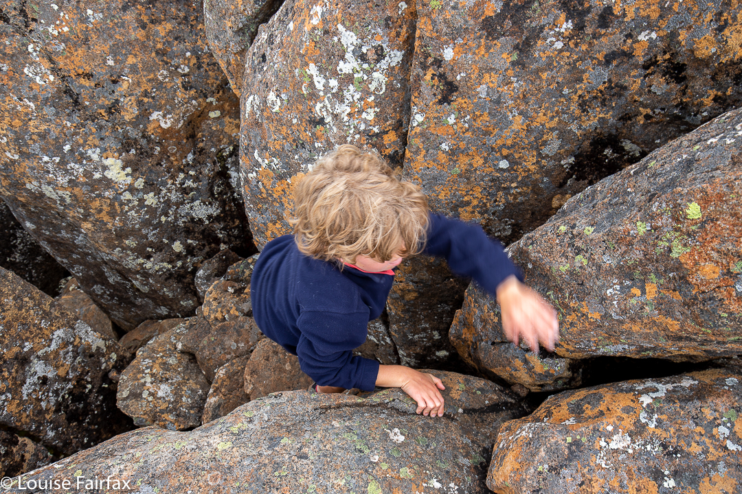
I have seen in the web that this is called an easy walk. Perhaps the writer is a 6 ft tall male aged maybe 20. If you are an eight year old boy, this is NOT an easy climb. I showed Gussy how to use pressure on each side of the chimney to work his way up it. I was delighted to hear him grunt with effort, as I respect anyone who is prepared to work for his or her goals. Laziness annoys me. Gussy concentrated hard, and was thrilled to rise to the challenge of the rocks and take the final couple of easy steps to the cairn.
Surrounded by boulders. About to attempt the final climbThe last pull before the summit cairn
I realised that coming down would be harder for him, so once more went first, and found it challenging myself until my right foot found a ledge it could use. Somehow it was hard to get into a position where one could prevent falling by pressing on each side. Gussy’s mum heard that I was needing to help him more, as this was the most challenging descent he has ever done, so came around to help coach him. I hope he doesn’t mind my saying here, but I could tell he was afraid, so I am very proud that he didn’t freeze, but pushed through his fear, trusted our instructions, and managed to climb down. In case you have children and want to do this walk, it is a totally delightful walk without touching the actual cairn. That is just icing on the cake. Abby doesn’t feel she’s missed out on anything (especially as she used the time to imbibe more lollies than her brother).
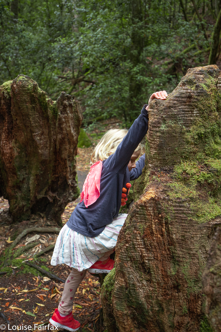
Abby practises climbing down lowerFree play in the forest
Kirsten touched the summit herself, and then it was time to start back down, with a need now for great haste; we were rushing, as Gussy had been invited to play tennis (hot shot tennis) on centre court at the Hobart International before the semi-finals started. We were terribly proud of him for being thus selected, and certainly did not want him to arrive late. I am happy to announce that he also did not arrive maimed from his climb. When Abby’s pace threatened our timetable, Kirsten popped her on her back, and virtually jogged down the mountain with her on board. I stopped to put something in my pack, and had to run to catch up.
Fearsome Ned Kelly ambushes victims
With its mild challenges, its variety of natural amusements for children, and its perfect length, I highly recommend this as a walk for families. As said, touching the actual cairn is not obligatory to enjoyment.
Fly princess, fly
The previous day, Abby had been far more fractious, as the wide, smooth paths offered little variety or interest for young children. We had had a tantrum or two (or more) on the way to Lady Barron Falls. Abby survived Lady Barron by joining Gussy in a game of Ned Kelly, hiding under bridges or behind trees to shout “Boo” at us as we went by. The other two falls were enjoyed not so much for their water falling, but for the opportunity I gave them to get off the predictable track and into the real forest, which gave them scope to use their imagination and test their little muscles. I watched them play, thrilled that they were interacting with nature rather than being in a plastic playground.
On this little holiday, we saw my first ever bandicoot up close (1 m), a quoll (which seems to be rare these days), bats, glow worms, a very close and obliging echidna, and many paddymelons. We tried for a platypus, but failed.
New Year’s Eve was upon me, but what should I do? Mope at home, mourning the gaping hole left in my life by Bruce’s death, or go into the wilderness, where although I may well be alone, I am never lonely? The latter, of course. The wilderness revives and refreshes me, filling me with joy and taking me right out of myself with its infinite beauty. I can be miserably lonely in my home city with its people who aren’t there for me, but I am never lonely in the putatively empty wilderness, with beauty, freedom and space as my companions.
Sunset, Mt Jerusalem
I decided the Walls of Jerusalem would be the right place to be, so phoned the kennel to see if they had any room. Luckily, a cancellation meant the answer was “Yes”, so, despite the fact that Tessie thought this was a shocking idea, and that the two of us should have a mother and doggy night at home, I deposited her mid-afternoon and drove on to the Walls, arriving later than I wanted, but, hey, this is summer and nights are pretty endless, so what did it matter?
King Davids Peak and the Western Wall
The weather forecast, checked to be certain just before I left home, was for mild weather and no rain, so I chose my light three-season tent, and left my bivvy bag, heavy night coat and more at home. Seeing’s I carry my tripod, filters and heavy camera on such a trip, I appreciate the offer of a lightened pack in other respects. Ha ha. The weather had the last laugh.
First rays on Mt Zion
As I rounded the corner into Herods Gate, I was knocked over by a blast of icy wind that roared all around and turned my hands to frozen blocks. I couldn’t wait to set up camp and shelter from its pummelling. Pity about the three-season tent that lets in way too much air for those conditions. Pity also about the fact that it was raining and that I didn’t have my bivvy bag or warmest coat to pamper myself with.
Walls: sublimity
At sunset, I was too cold to concentrate on good photography. I took all my gear to my chosen position, but just wasn’t in the mood to use it, so just took a few hand-held shots. Luckily, after yet another sleepless night in the wilderness doing bed exercises all night to stay warm, I was up at 4.50 and in the mood for photographing pre-dawn and sunrise, dancing on the spot to raise my metabolism. Later, cappuccino at Deloraine was sure appreciated. … And, because the scoparia was not quite in flower yet, the good or bad news is that I will need to return for another night in the not too distant future.
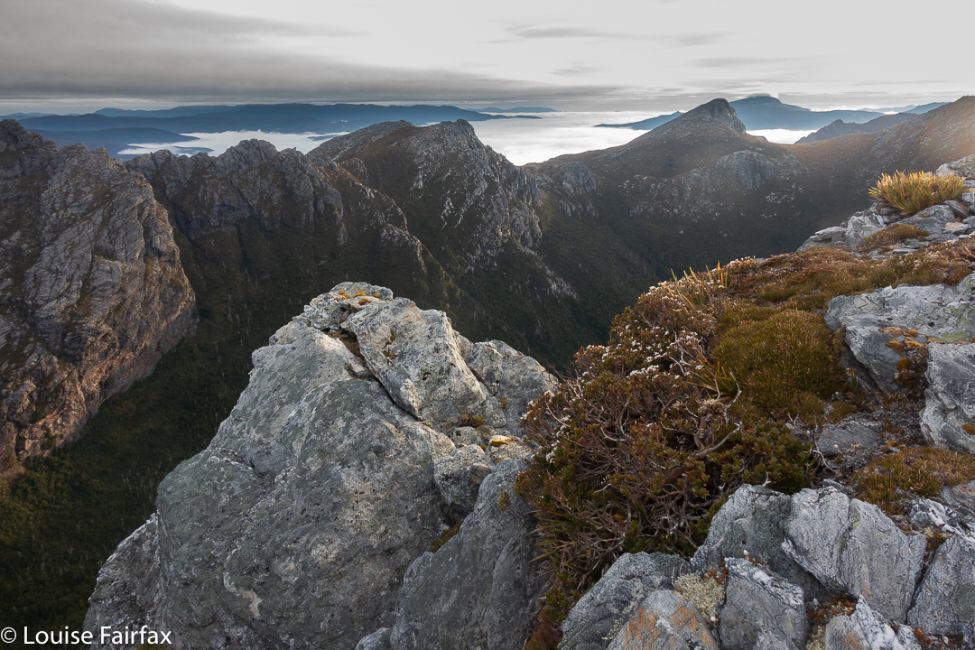
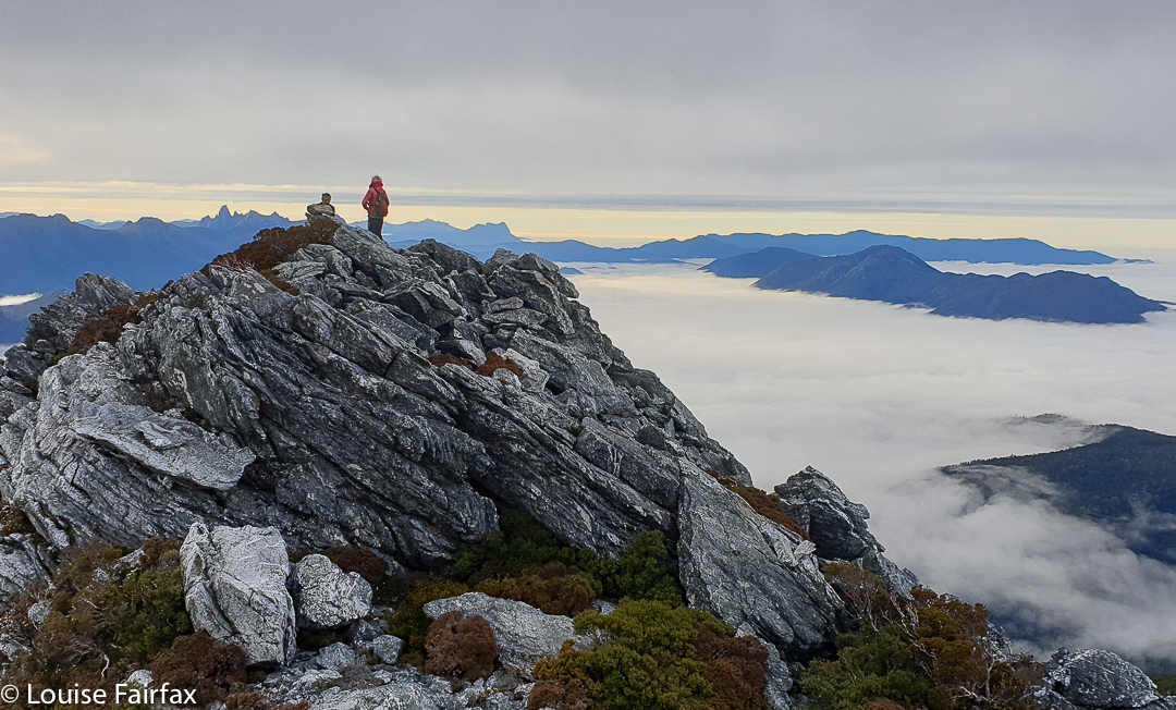
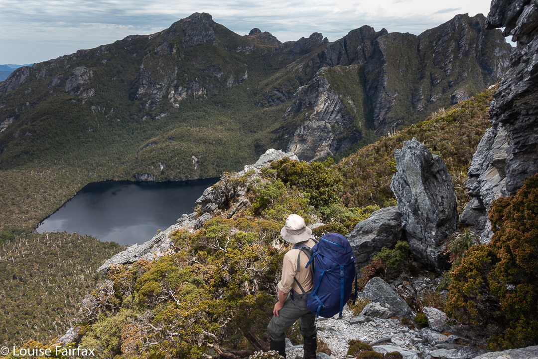
I have lost count of the number of times I have set out (or wanted to set out) to do the Western Arthurs Traverse, and been weathered out of my mission – by fires, floods, blizzards. You name it, the weather won each time. This time I fooled the weather by not acknowledging what I was doing. I pretended I was just going to play at the Eastern end of the Western Arthurs, and by the time this morphed into a traverse K-A, the weather hadn’t had time to work up its normal fury, like a snake you surprise so it doesn’t have time to summon up all its poison. Off I set. I couldn’t believe it was really happening. And I was so glad to be doing it the tougher K-A rather than the normal A-K. I like climbing.
Descending Mt Scorpio
The first day was merely a half day, and thus didn’t begin until after lunch, so we only had time to get as far as Two Mile Creek. This was actually great for me, as it’s been far too long since I’ve carried a Big Expedition pack, so it let me ease myself into the task. The next day, of course, brought in the absolutely massive task of climbing Kappa Moraine to the top (nearly) of Mt Scorpio (which we climbed, of course), before ascending some more out of Lake Sirona, and finally dropping to Hanging Lake, where platform space was scarce, and where it was yet again proven that wretched platforms and gorgeous Hilleberg tents are not good companions. My tent is not free standing, and needs more than the usual number of anchor points. Grr.
On a lump above Lake Sirona
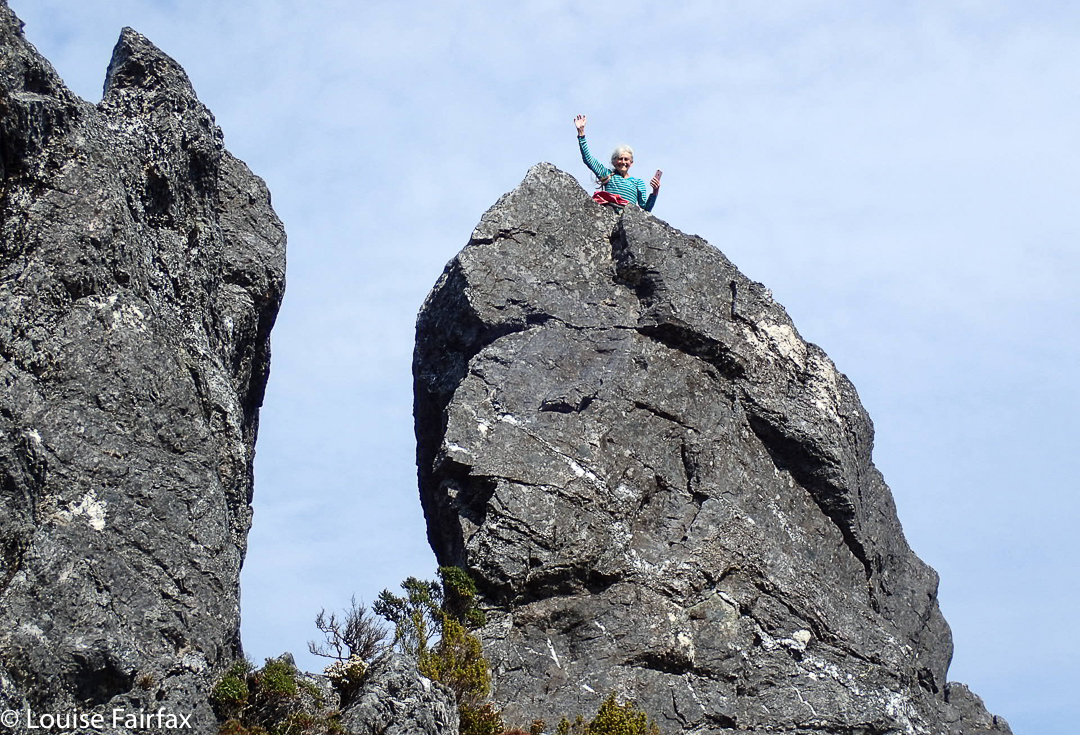
We began full Day 2 by going backwards, to climb Aldebaran, for me for a second time. As this is one of my very favourite mountains, I don’t mind how many ascents I tally up. It was beautiful to reach the summit with the clouds still in the valleys below.
Climbing Aldebaran with daypacksView from Mt Aldebaran
“Mt Taurus” does not look all that foreboding from Haven Lake, but climbing it was the most taxing part of the whole traverse for me. It seemed to go on forever, and I guess I hadn’t found my so-called second wind yet, so it felt formidable. I couldn’t wait to drop the packs and go touch the summit. I am confused, actually, as everyone calls what we climbed Mt Taurus, but Listmaps has the much more dramatically interesting, more “bullish” rock to the NE labelled Taurus. Is everyone quoting Chapman who got it wrong? Or has Listmaps got it wrong? I don’t know the answer.
Wayne and I on Aldebaran. Thanks John.
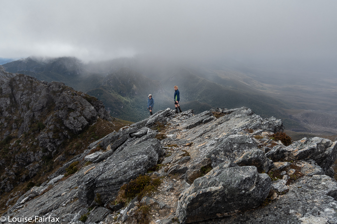
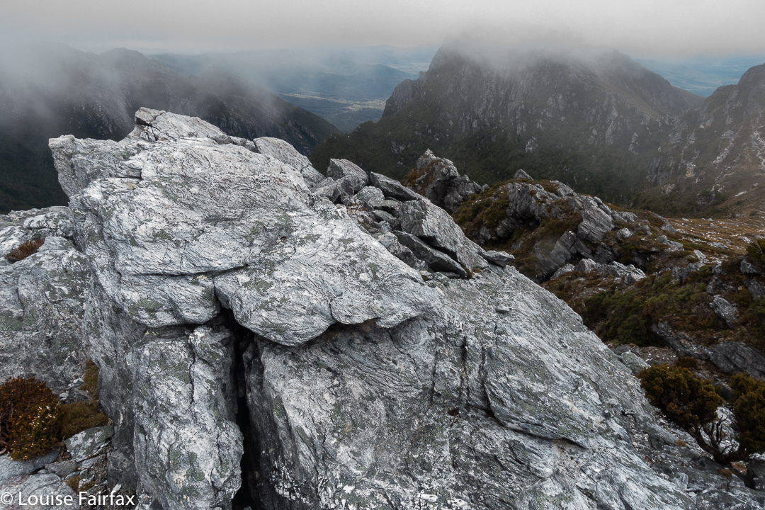
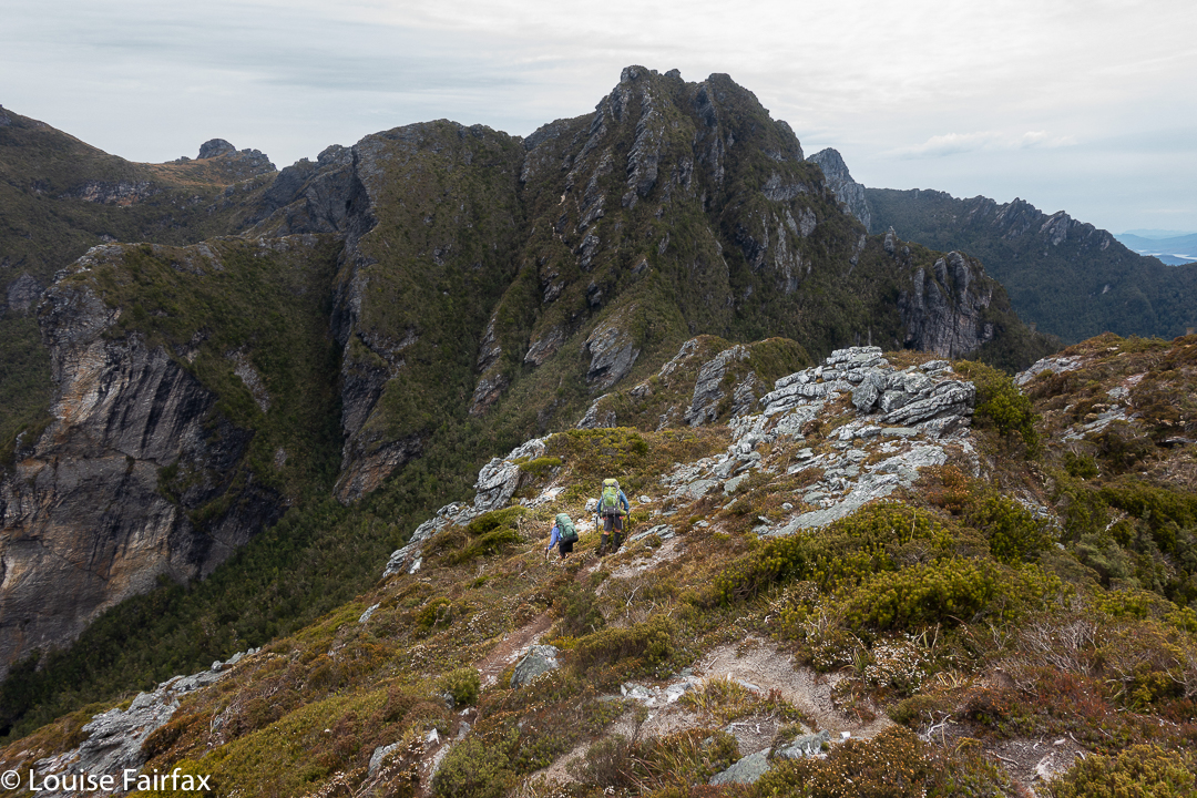
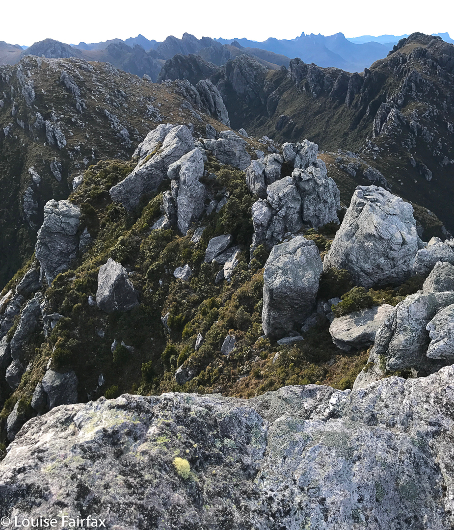
After that, the Dragon Spine of four … or was it seven??? … bumps (one lost count after a while) was not too bad. And awaiting us were the famous Beggary Bumps with the bad-street cred’d Tilted Chasm which had to be negotiated before we reached the also-much-talked-about High Moor. For me, it was a dream to at last be seeing these wonders, having read so much about them, and seen so many pictures (mainly David Noble’s inspiring ones).
On the Dragon Spine, staring at the formidable Beggary Bumps
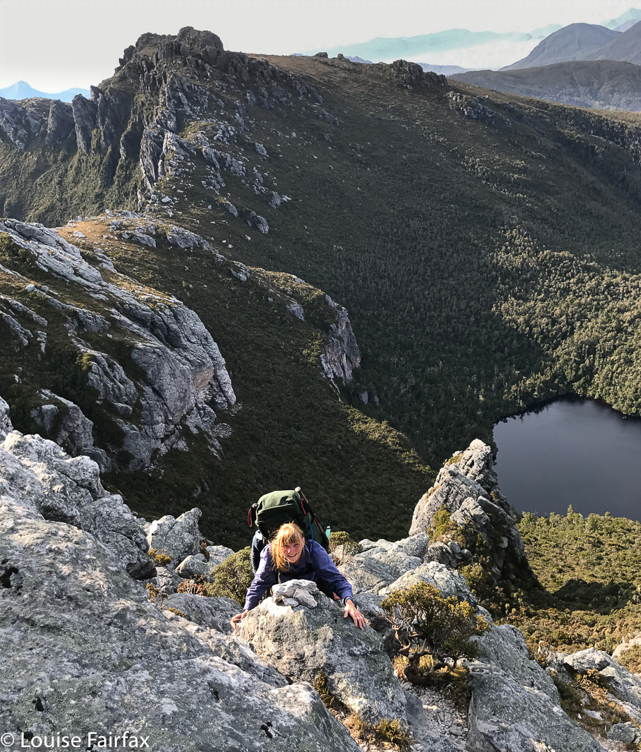
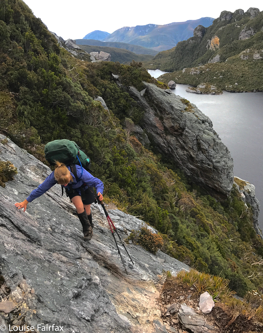
We climbed up a chasm that seemed pretty steep with loose sections, and I thought it was fine, but was starting to wonder about how bad the Chasm that everyone spoke about with fear in their voices was. I then got told I had just done it. I laughed with pleasure. The same happened with some sloping rock with small ledges that didn’t worry me in the slightest, but which one of our four was fearing. I was surprised to find that I’d just completed the dreaded object.
The Beggary Bumps get nearer
There was one moment in the day when I looked down and told myself that had been an idea less well-advised than most, but I just turned my attention to the task at hand and didn’t look down again until I had a bit more terra firma underfoot. Soon enough we were choosing our spots at High Moor. A group of ten camped there made life a bit tricky, as there was no space for my tent, but I managed.
Climbing one of many chasms
That night, during the night, a mighty wind whipped up, ripping John’s tent along its top as it broke his pole. He and his gear were in a less than ideal state in the morning, which dawned wet, grey and windy. We spent this day catching up on the sleep we didn’t get during the night, and then climbing a few thises and thats. I had already climbed Columba the previous evening, but did it again to kill time, adding in a few other lumps and bumps to keep myself amused.
Capricorn view, looking back. I climbed both bumps.Me on Capricorn. Thanks Karin
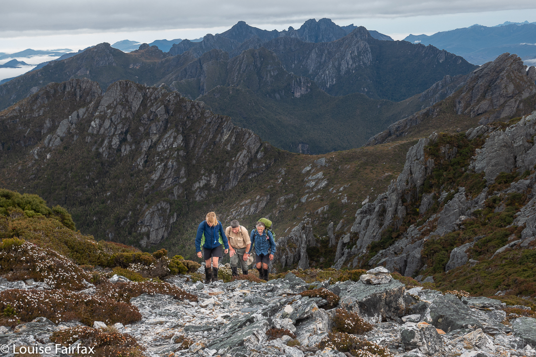
The next day’s walking took us out of High Moor, up Capricorn (packs dumped to summit), up the much harder Mt Pegasus, which I had already climbed from Cygnus with just a daypack. Climbing it with a full pack was somewhat more strenuous, to say the least. The views from the top remain fantastic. This day was pretty hot, which was rather welcome, but even more welcome was the little nameless tarn between Pegasus and Oberon, where we stopped to dip our faces in the water to cool down and drink.
Negotiating the slopes before PegasusPegasus approach
The next stop after that was at the outlet to Square Lake, where we took out about half an hour to rest up before the final slog to Lake Cygnus. High Moor to Cygnus was a pretty long day. That evening, the air was balmy, and it was so nice to sit outside and chat and enjoy the temperature. I went along to say “Hi” to the only other people at the lake, and discovered it was Ben the Skier, whom I had met the night before he did his amazing ski down the chute of the Ducane Range the month before. Small world. (At High Moor, a guy had come in and pitched next to me late in the evening: we worked out I had given him a lift just two weeks before as he headed in to the King William Range while I was bound for my Rufus waterfall adventure.)
Pegasus view
The final day turned on mist and howling winds for us. It took round about an hour to reach the top of Morain A. In this time I was blown off the track every third step, and was absolutely exhausted from trying to stabilise myself in the presence of forces so much more powerful than I was. My core even started to cramp due to the hard work. It was a blessed relief to get out of the main wrath as we descended, and begin the easy part of the trip to Junction Creek and out.
Climbing Pegasus
This traverse will remain in my mind as a highlight, if not THE highlight of my bushwalking “career”. It was not as remote or ‘different’ as many of the extended walks I have done, but I adore a physical challenge and this trip offers that in extremis. I felt like I was in the most dramatically beautiful fun park I have ever entered.