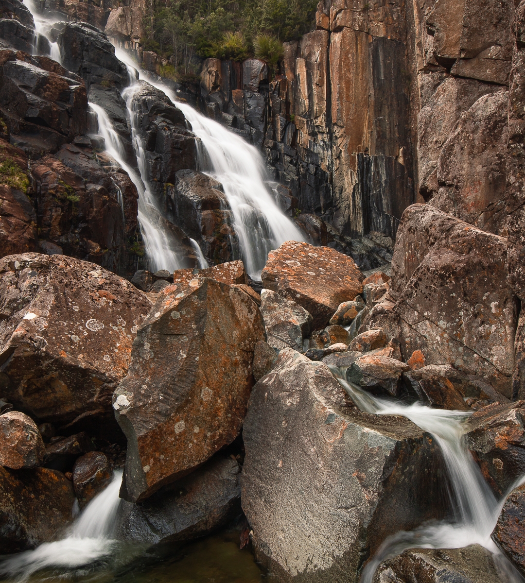
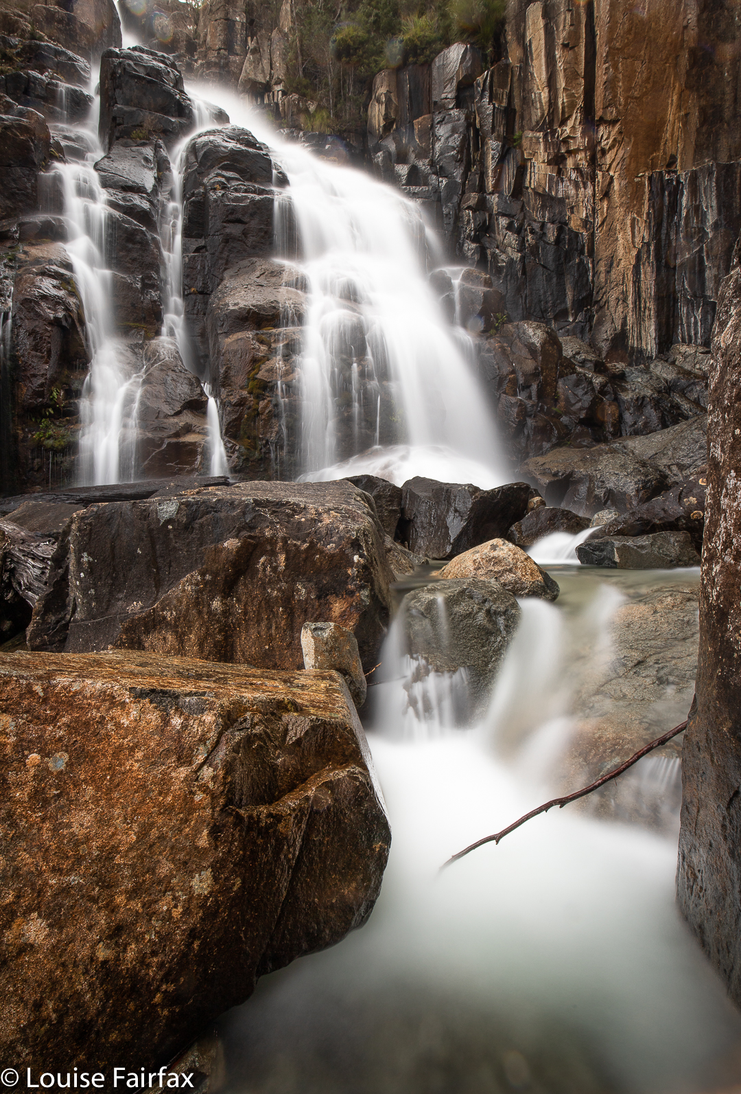
Doone Falls, Rocky Cape NP 2019

I’m afraid I have to confess that I have always regarded Doone Falls as a spoon of medicine I would have to swallow one day if I wanted to tick that box. I had seen a photo of it that did not inspire in the least, and, I have no idea why, but Sisters Beach did not have a siren call for me either. I guess I have never seen an alluring photo of it.
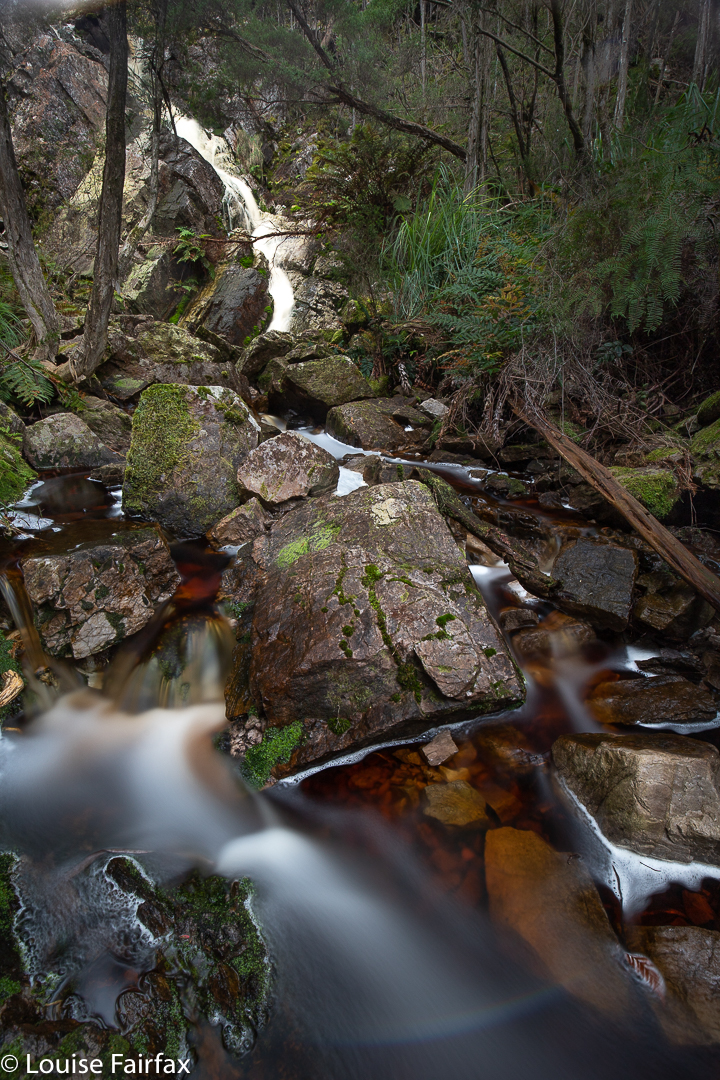
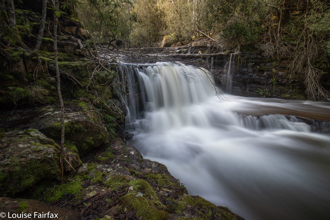
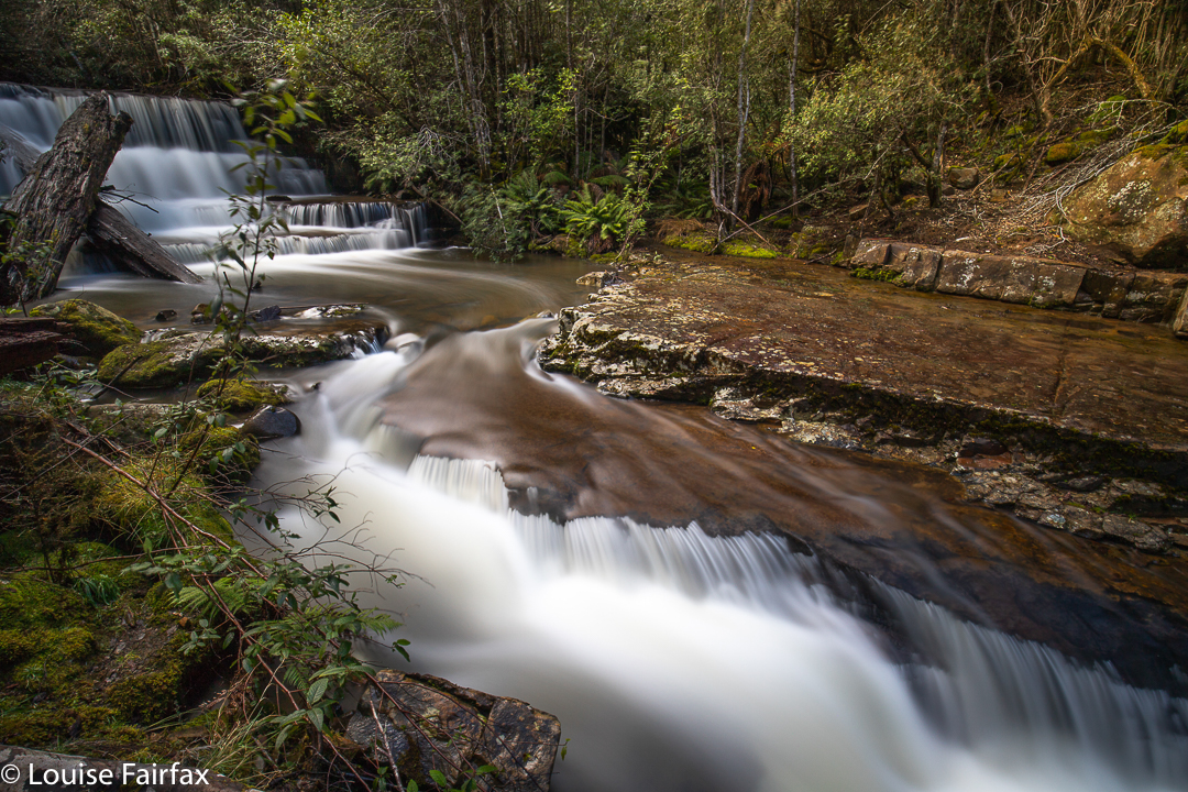
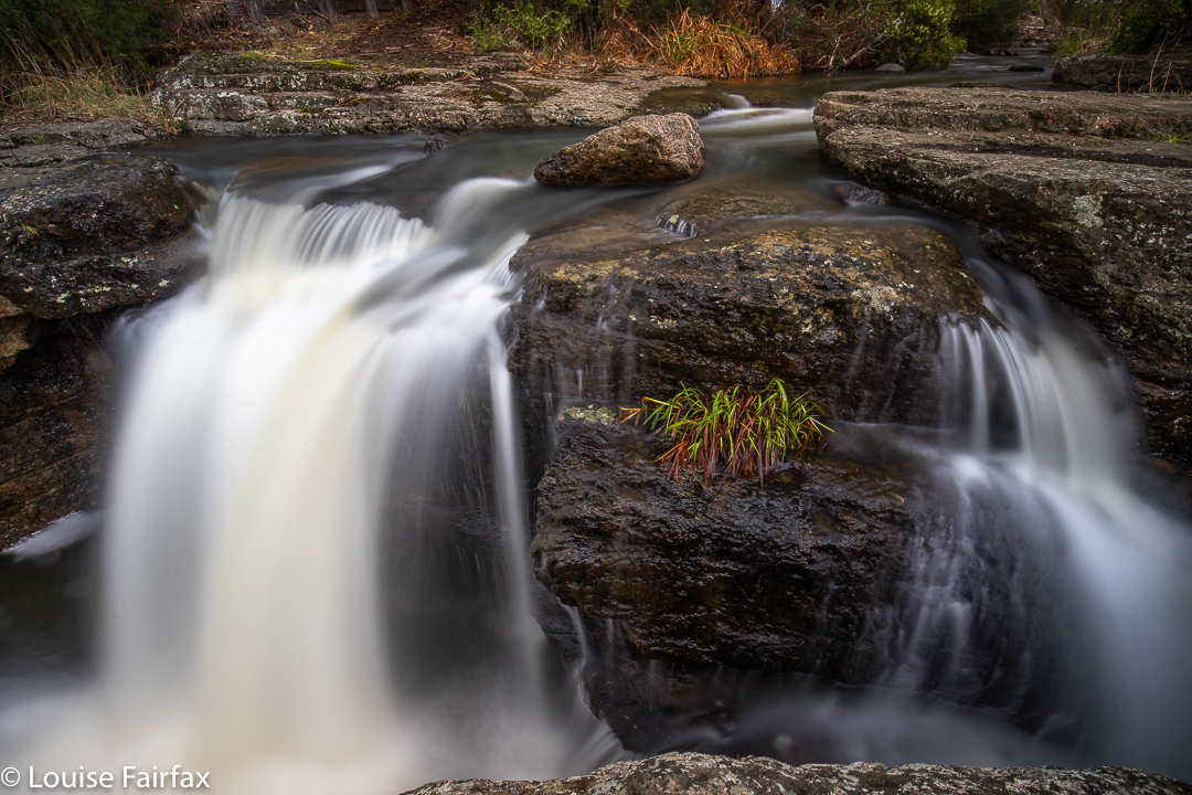
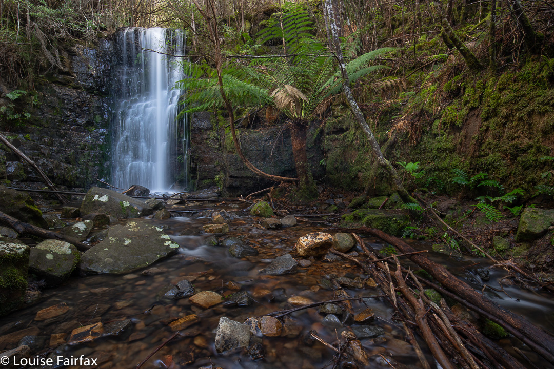
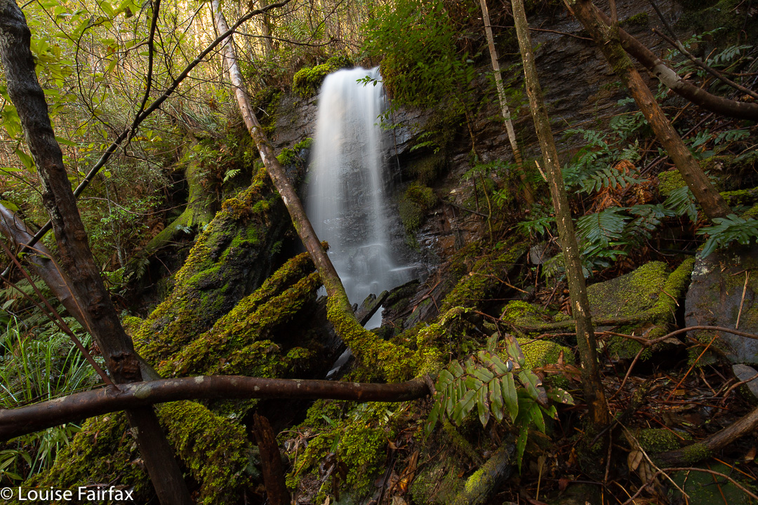
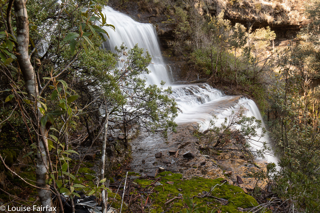
Doone Falls, Rocky Cape National Park (Tangdimmaa)

Today was a good sort of day to make my half-hearted pilgrimage to this doubtful mecca. It was a middling sort of day: cloudy but not raining. Not thrilling in any sort of way, but not bad enough to have me declare it a “sit by the window and read my (excellent) book” sort of day. I did my normal training run in the gorge, and took Tessie for her walk on the harbour before I set out, as you just didn’t know with a day like this how things would unfurl.
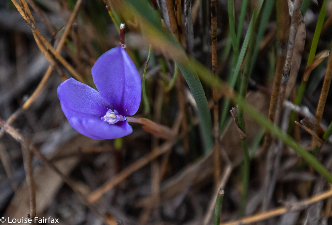
Patersonia fragilis

I know it’s churlish of me, but I didn’t like Sisters Beach in reality any more than in the anticipation. I drove slowly along the street, trying to get a glimpse of the beach, but I could not see it once. Not at all. Huge two-story houses (each with a gigantic boat on a trailer parked somewhere in the capacious yards) blocked every possibility of a sighting of the water. Eventually I reached the end, marked by one of the ugliest car parks ever, with not a tree in sight, and dumped my vehicle. Lucky for me, today was Australia’s religious fest day, so every Aussie except me was at church worshipping men in little shorts trying to get a ball to one or other end of an oval. No doubt they were having communion with beer for wine and chips for bread. This meant I had the carpark and the whole national park to myself. Wee.
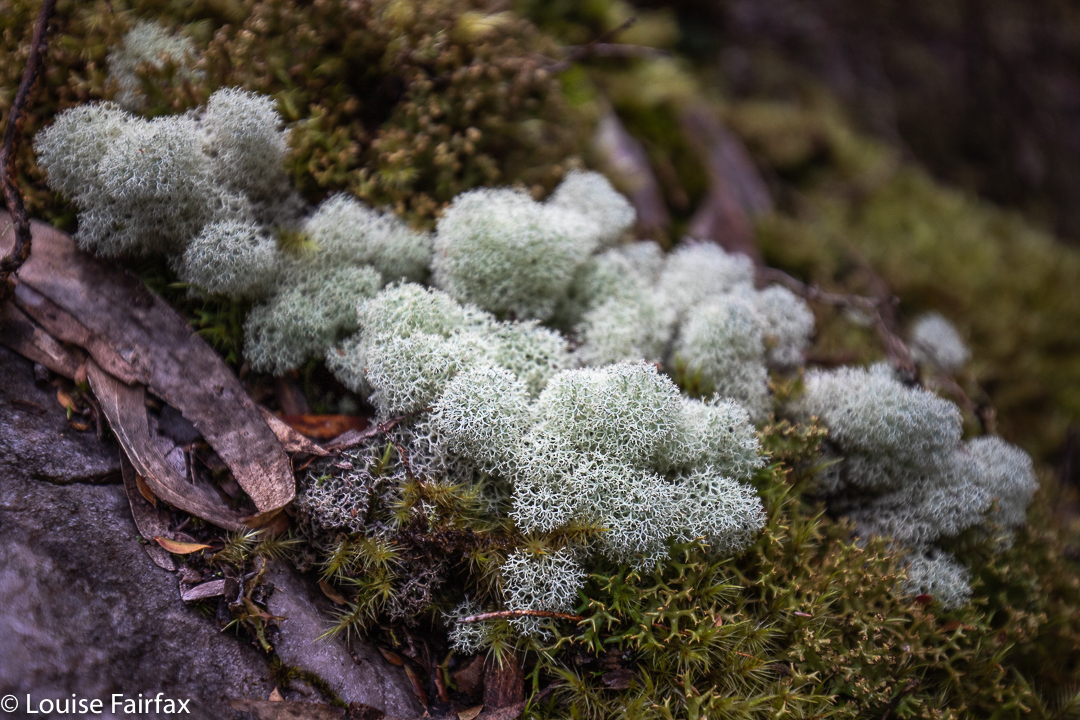
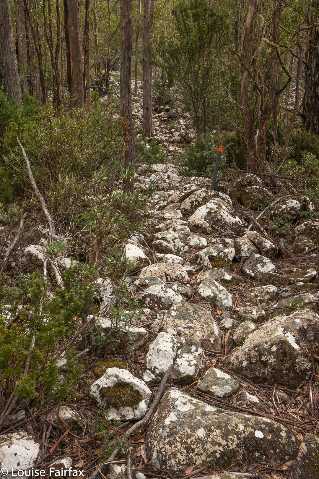
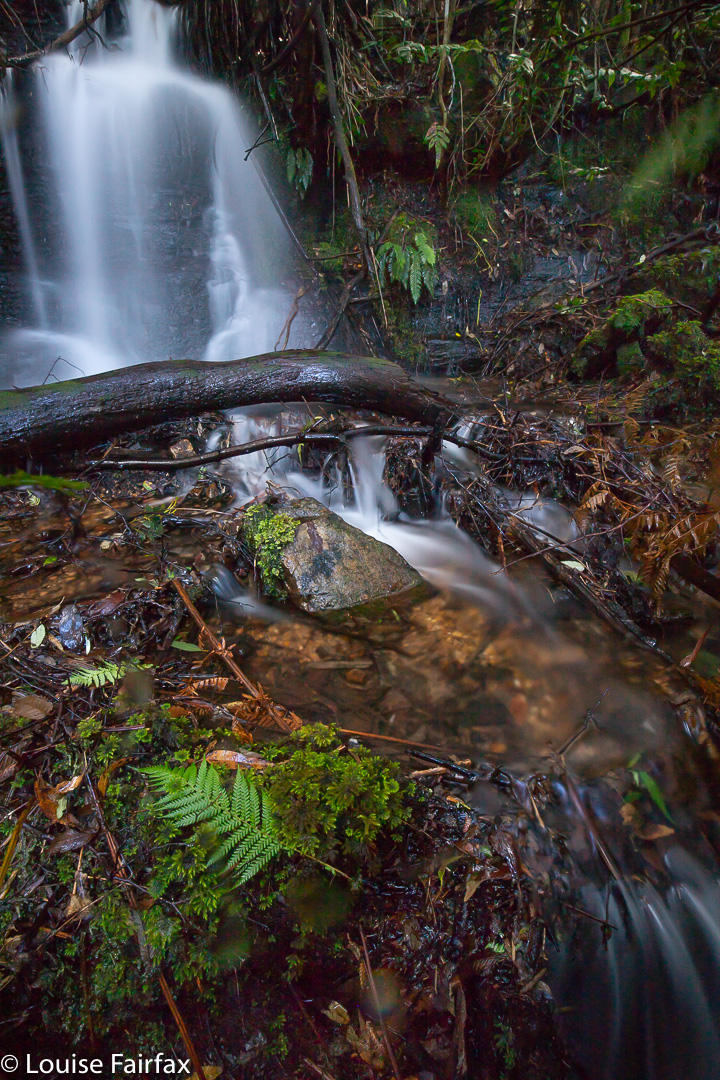
Moss and lichen nearer to the falls

The route was unexpectedly open. I thought it would consist of dry scrub like the bush near Greens Beach, but it was more open heathland. It would be glary and exposed (to sunburn) in summer, but today was fine enough. The wind was not too strong, and it all had a Wuthering Heights kind of feel as I climbed up Broadview Hill with views to lumps and bumps around me, and the beach below. As it was early spring, there were quite a lot of heath flowers and other dainty patches of colour making their appearance. The only shady part was the final five or so minutes which marked the descent through pleasing mossy forest to the creek.
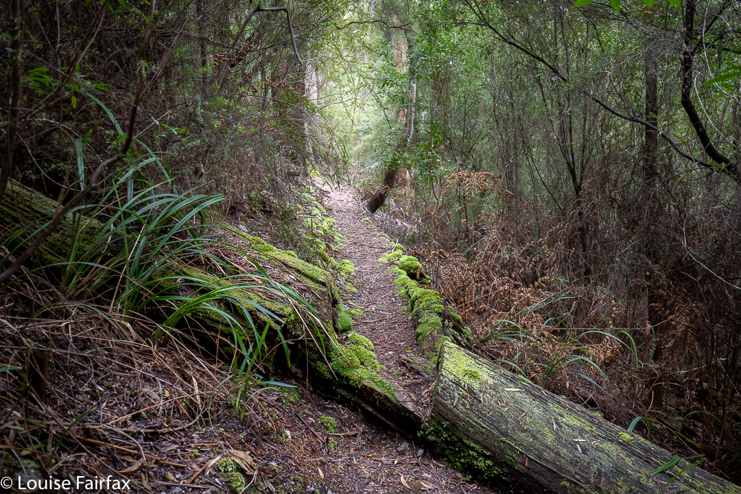
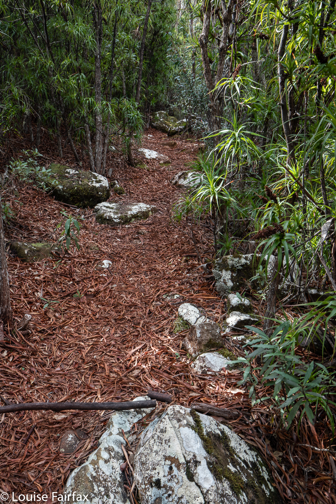
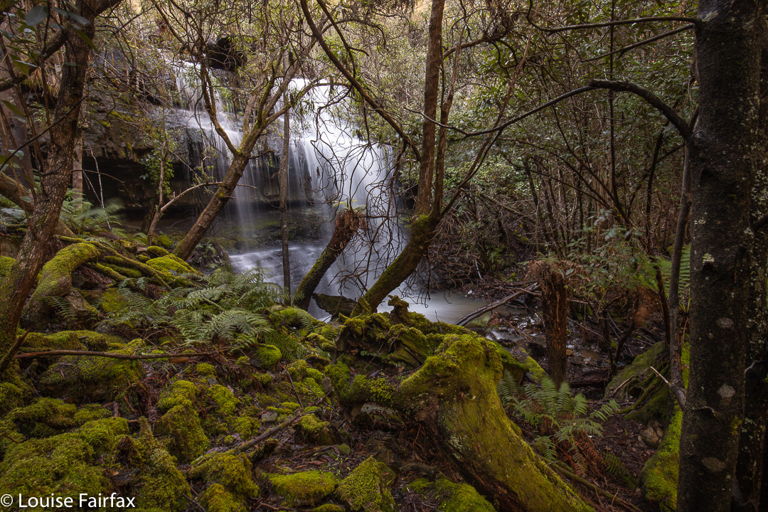
The nice part of the path, near the falls

32 minutes took me to the first turn off (shortly after Broadview Hill), which was signed to Doone Falls; 8 mins 30 more were needed to the next sign / intersection, which said the falls were 45 minutes return. I had been going just a shade over half the advertised times, so I figured 12 or 13 minutes should see me at my destination, and I was right. I was thus there in a bit over 50 minutes. The way back had similar splits. I am telling you this, as the fact that it was supposed to take two and a half hours had put me off a bit, and it is good to know that it is not quite such a big time commitment as anticipated, leaving room for other adventures, or just not making for such a long day if you’ve come from Launceston. For me, it meant I could also do Betts Falls and be home in time for dinner. Two boxes ticked. I very much doubt that I will ever be back.
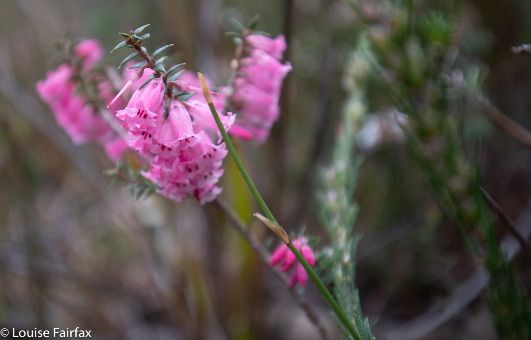
delicate pink heath flower

Rocky Cape now has dual naming. The aboriginal name is Tangdimmaa.
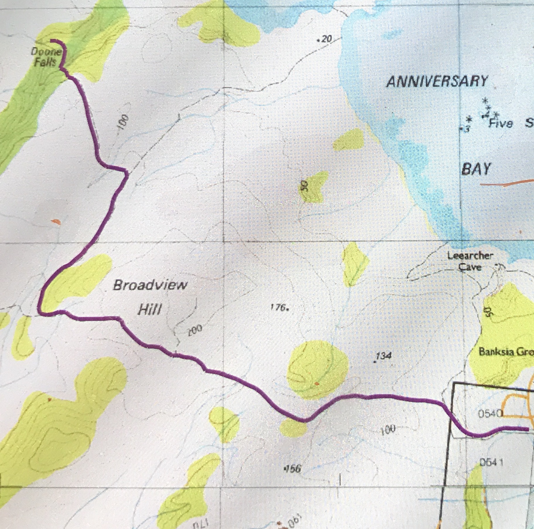
Doone Falls route

Wellington Falls 2019

Prior to a few months ago, I had not seen or heard anything to tempt me to make the long and not-very-comfortable trip to Wellington Falls, on the “rear” slopes of Mt Wellington. However, a few months ago, I saw a lovely image by Bjorn Baklien that showed me the falls could look appealing. I awaited the opportunity for a day when I had a lot of time and felt like a very long walk, as I took into consideration the fact that the advertised signage indicates that this is a 7-hour trek.  The distance looked big on the map, and I knew from my visit to Disappearing Tarn (en route) that the footy-sized and shaped boulders that litter the way are not “marching” territory, and have to be treated with respect if one doesn’t want to twist an ankle.

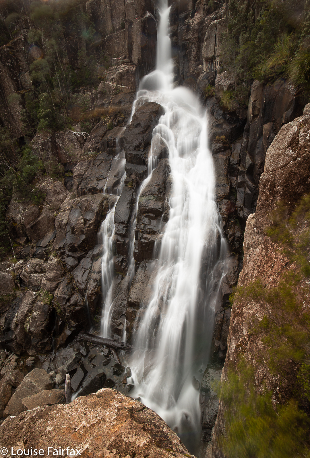
Wellington Falls

Luckily, the reality was way, way better than my expectations. Firstly, I took a shade less than 1 hr 45 in each direction, thus halving the time I had allocated. Secondly, I didn’t know in advance, but by Disappearing Tarn, I had essentially done all the footy-stones bit. The actual Potato Fields, which I was NOT looking forward to, were easy in comparison, as the rocks were larger, and very stable. In fact, today everything was easy, as the rocks were dry, and none of them moved under me. Possibly the worst aspect was that I saw my first snake of the season, underfoot where I was about to tread. I informed Mr Snake that it was only September and he should go back into hibernation. I guess he had come up from Snake Plains, as he was just after that turn off.

Wellington Falls Track

So, here’s how it all took shape: Having driven down from Launceston that morning, I went straight to The Springs, and parked at the “higher” carpark, the one just after the road divides in that area. I walked on the Pinnacle Track steeply uphill for a mere 2 minutes, after which it was time to turn onto the pretty flat Milles Track, which I followed to the left (initially SSW but then swinging nearer west) for 28 minutes, when the Snake Plain track joined the path from the left (south). Along that Milles Track section, I enjoyed fabulous views (although a little hazy, so not worth photographing, but definitely worth imbibing) out over Hobart City far below to the expansive blue waters and hills beyond.

Wellington Falls Track after the Potato Fields

A further 26 minutes of the worst part of the track – through dry forest with the footy stones underneath – saw me arrive at Disappearing Tarn, from whence the track climbed upwards through the equally dry Potato Fields (but totally firm and easy underfoot), and then entered a delightful grove of Richea dracophylla, with masses of rich brown leaves underfoot and mossy rocks. The final few minutes involved a steep descent to an intersection below, above Wellington falls with tracks coming in from other directions (one from the Pipeline Track, well below on that side, and the other from the Cathedral Rock area in that circuit, across the river). Not far from there is a side track to a lookout over the falls. I stopped my watch (1 hr 44), and then just took my time, descending to the very base of the falls, and inspecting various rocky outcrops for photographic possibilities.

Wellington Falls – half way down

The way back took in total the same amount of time as the way there, although the splits had different values due to different inclinations in the opposite direction. I had lunch in the Tavern at Fern Tree, coffee down lower at Ginger Brown, and was finished everything (i.e., all the eating) by exactly 3pm, school pick up time.

Black Glen Falls

Black Glen Falls are situated on the Lachlan River, south of the hamlet of Lachlan, not too far from New Norfolk, which happens to be but a small digression from the Launceston to Hobart drag.  I thus decided I could easily drive down from Launceston, visit these falls (plus the Glenorchy Falls and the New Town three Falls) and be in time for the children’s after school pick up.

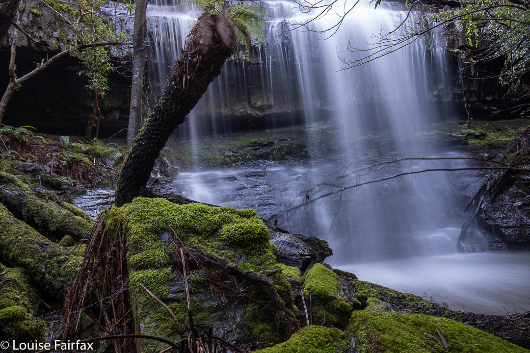
Black Glen Falls 2

As with many waterfalls, the hardest part was getting to the start line. I drove south along the Lachlan Rd, as I was supposed to do, and avoided the turn to the left to Hydehurst Rd, as instructed, but after a bit more driving, I came to another turn to the left, but not one that was labelled Timbs Rd, the road I was seeking. I stopped and got out to consider this matter, and a friendly local pulled over to help me.
“I’m looking for Black Glen Falls.”
“Never heard of them.” Oh. And he’s a local.
“Hm. Have you heard of Timbs Rd? I’m supposed to find it first.”
“Yeah. That’s easy. Can’t miss it. About 2 more kilometres and you’ll see it.”
Thanks given, I continued on my way, and found Timbs Rd with no further ado.

Black Glen Falls 3

The WoT website says there is a bridge (tick) and to park there. But silly Louise thought she could drive her AWD up this 4WD “road”, which looked quite harmless, so on she went. Oh the fallings of the proud. I soon enough found myself backing about 200 ms, once the road conditions deteriorated from very bad to shocking. Next time, I will park near the bridge and walk the mere 900ms to the old car park, official start.
From the official start (allow about 12 up, 10 down), it took me 26 mins to reach the first of the falls (which is actually Falls number 2 of 5). Before that happy moment, endless pleasant cascades can be spotted, including one just near where the river should be crossed. However, the river was quite high and strong, so I elected not to cross, and had no trouble staying on the eastern bank the whole time.

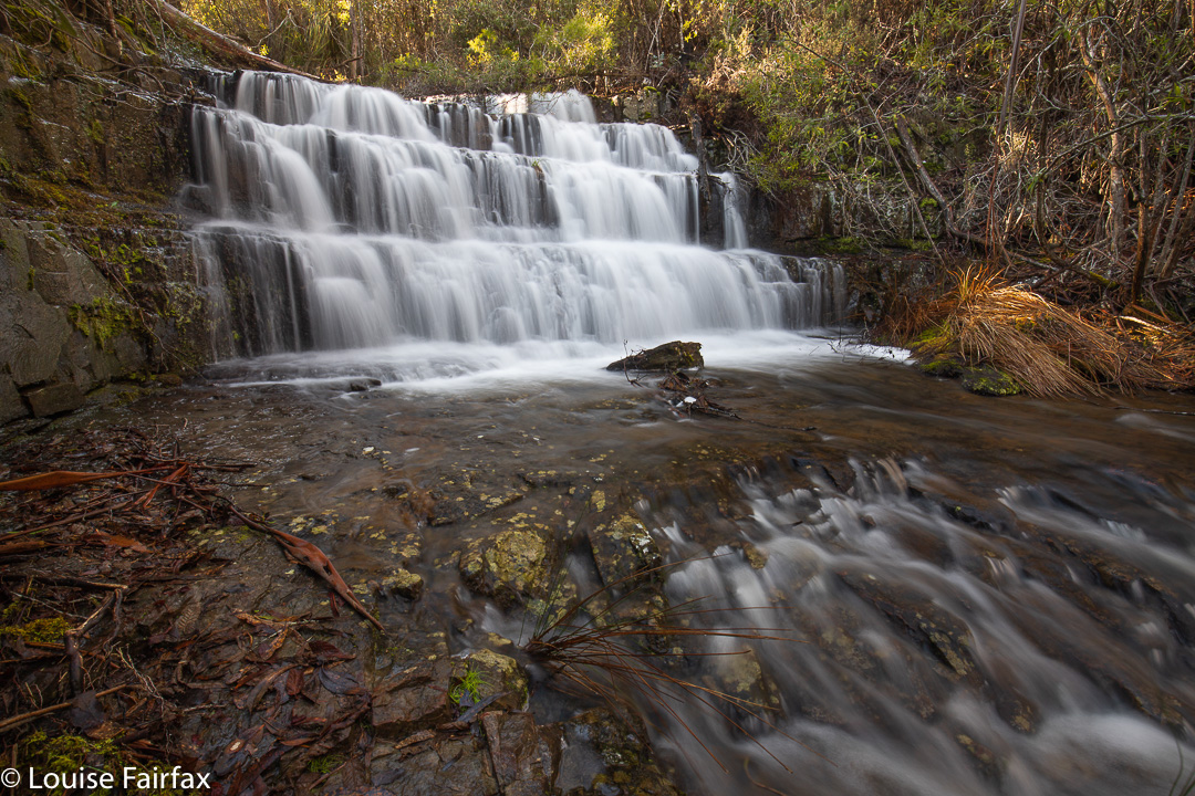
Black Glen Falls 4

There is a path most of the way, and helpful tapes to guide. That said, I would not do this walk if I were not confident in the bush, as birds and more can run off with pink tape, so you need to know what you’re doing. The other problem is that the falls are not actually marked on the map, so you are basically at the mercy of the tapes to get you there, as the Lachlan River has many unnamed side tributaries, so I became very uncertain as to the whereabouts of my destination. You have to combine tapes and pad with a bit of “bush nouse” and then all is well. Use my map below to mark the spot on your gps, and you should be right.

Black Glen Falls 5

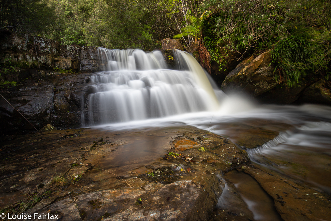
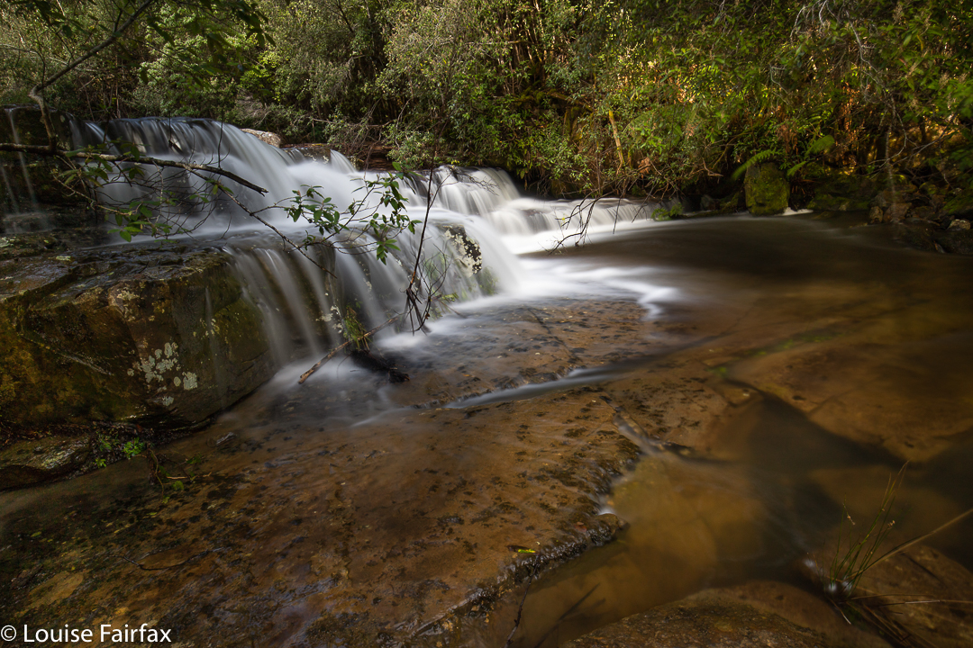
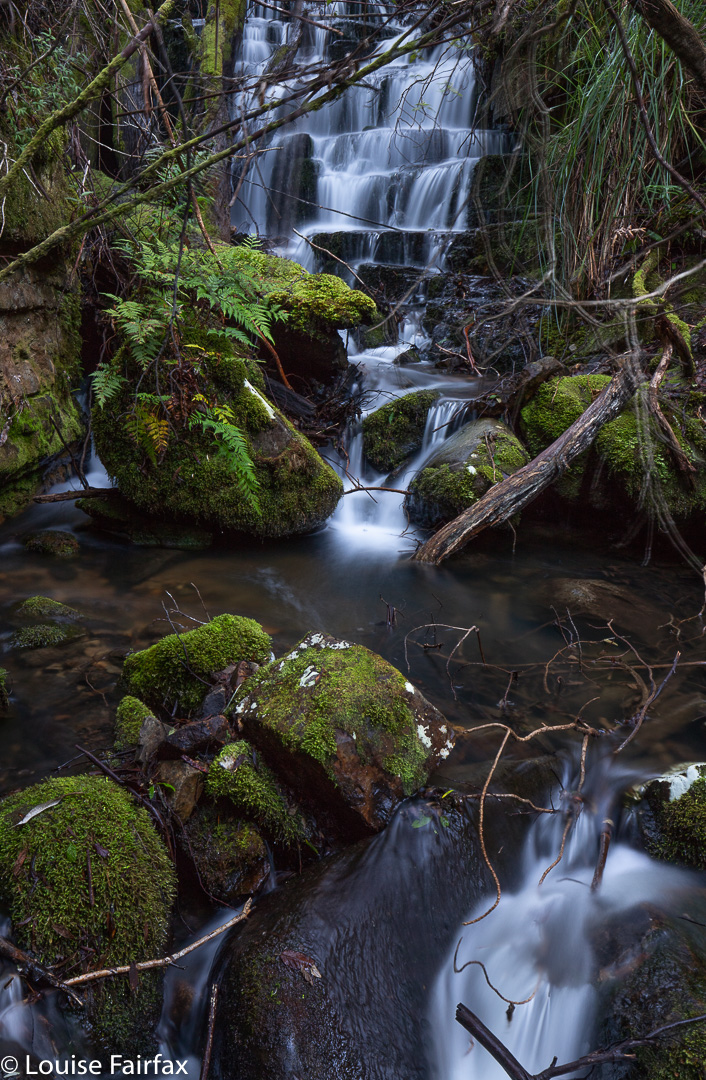
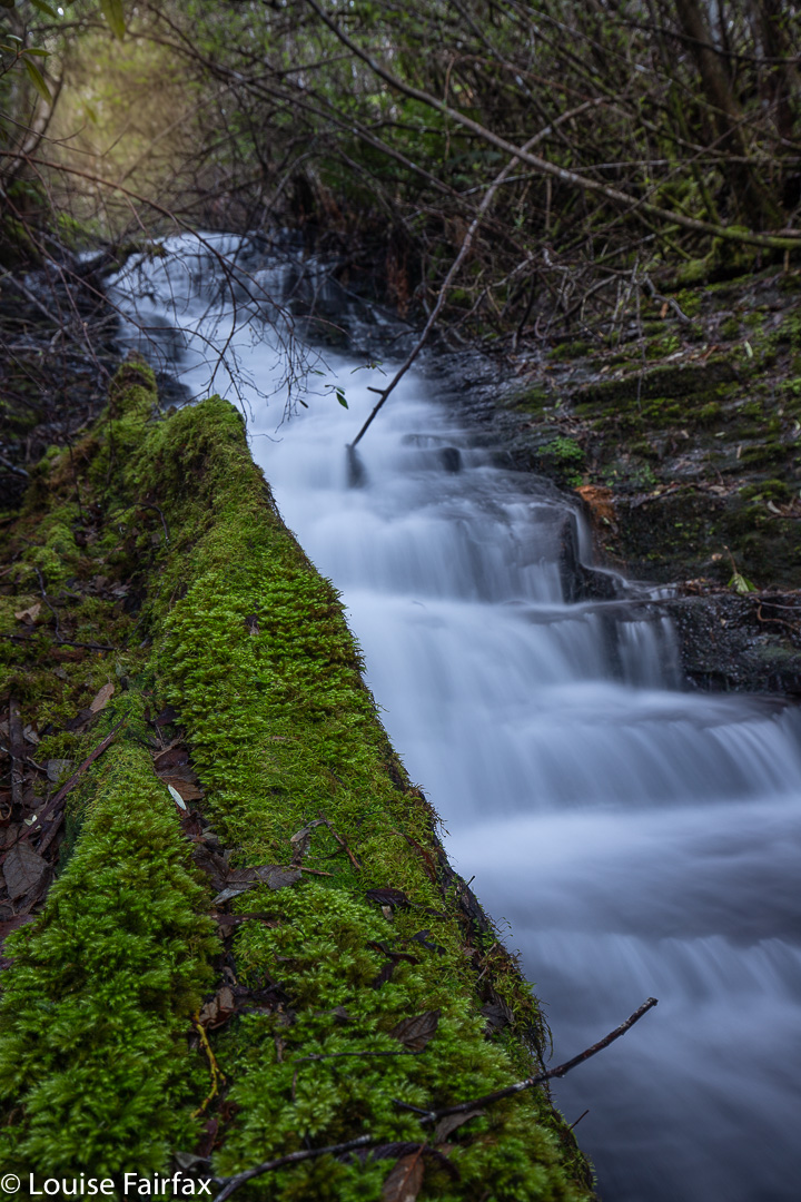
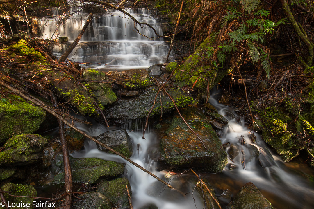
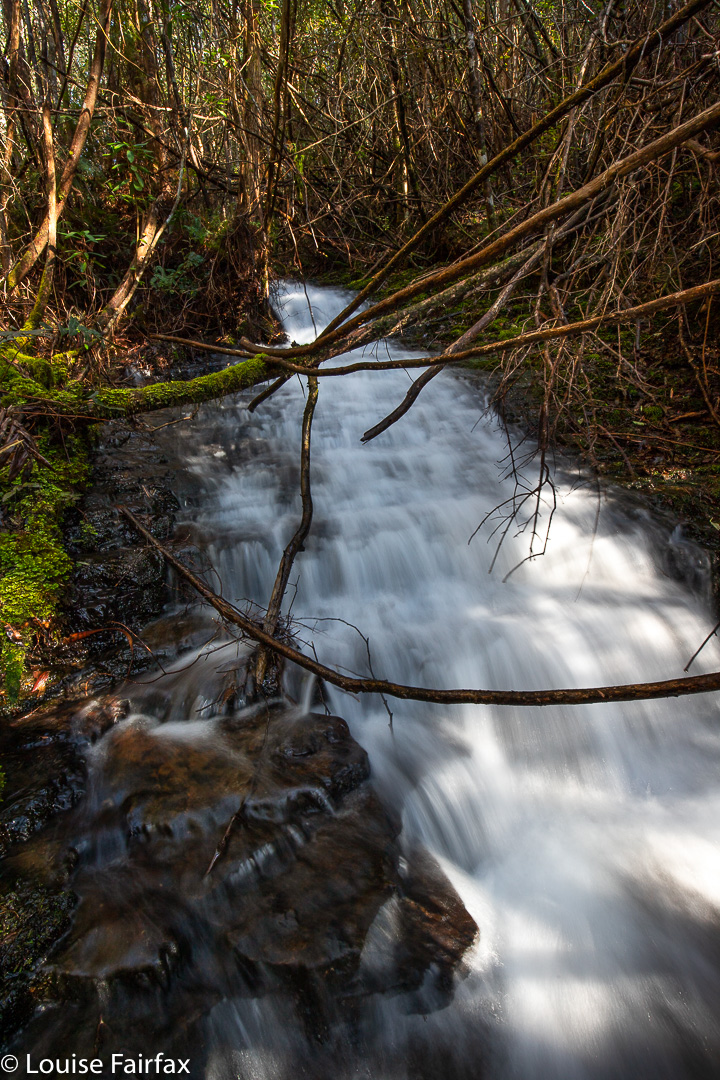
If you persevere with a bit of uncertainty, you are well rewarded at the far end. The falls – cascades plus five falls – were all a total delight. I plan on taking the children in summer, when we can picnic on one of the many rock ledges, and they can paddle or swim in the many pools. Each waterfall has its own little rock ledge. The bottom falls looked less interesting than the ones above, so I didn’t drop down to them. I photographed Falls 2 (where the track leads), and then just kept going upstream for more and more. Eventually I ran out, so hoped there wasn’t another left hidden above, and returned to the car, to make it to New Norfolk for a delicious lunch in an old church, now a Quilt Cafe.

Glenorchy Falls

Glenorchy Falls were far too suburban for my liking. It was hard to ignore the concrete and rubbish that unnecessarily decorated what could be beautiful if someone put in a bit of effort. Box ticked. I won’t return.
At last I saw the New Town Falls flowing. Third time lucky, but that’s another story …. .

Hobart Rivulet 2

I still had unfinished business on the Hobart Rivulet, despite my recent adventure’s additions to my waterfall collection
(http://www.natureloverswalks.com/hobart-rivulet/) , so, on the afternoon after my Flora Falls escapade (also in my blog), I set out to follow the Rivulet upstream and see what else I could find. I knew some waterfalls were missing from what I had so far found.

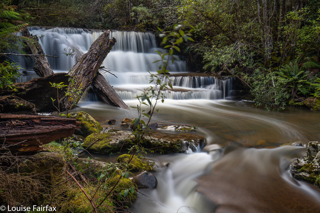
Pineapple Falls

I had already explored the stream for a bit of a way north of the Strickland Falls (and seen Champers and Disappearing Falls in the process), so didn’t dive into the forest straight away. However, once my height seemed right, I left the Rivulet track and entered the thickish, and rather uninviting, bush filled with cutting grass and made my way to the water. My guess was good. Just upstream, I could see white foam, and it was the Pineapple Falls.

Gentlemens Cascades

Right next door was another pretty sight, more a cascade than a waterfall, so I photographed it, too, much later learning that this was Gentlemens Cascades.

Pretty Falls

I was in an exploratory mood, so decided to keep climbing, and came to what, in the absence of any known name, I have (at least temporarily) dubbed Pretty Falls.

Ladies Cascades

Above them lay some Cascades worth photographing, and later, feeling miffed that Gentlemen had Cascades but we didn’t, I called this Ladies Cascades to equalise matters. Gentlemen and Ladies are rather hard to find these days, so it is appropriate that these cascades are well hidden and are rare collectors’ items.

Fairy Falls

More hunches and guesswork had me arriving at one that I had definitely been seeking: namely, what is known as Fairy Falls. Charming.
For my homeward bound route, and it now seemed appropriate to call it a day, I decided to make a kind of circle, and in doing so, I found yet another sight worth photographing, and decided Pixie Falls would be in keeping with the going theme.

Pixie Falls

I’m sure there are more waterfalls to be found in there, but I had done quite enough bush battling by then, especially considering the fact that I had had a big morning, so contented myself with this magnificent booty. It was time to eat.

Flora Falls 2019

Flora Falls, being situated at quite a high altitude, do not have an expansive catchment area, and so require of the keen photographer a visit either soon after rain, or in sync with snow melt.
As we had had both rain and then snow in this last week, I felt the timing was good for a visit. This waterfall has long been on my bucket list.

Flora Cascades, Upper

As said, it had been snowing, but I was not expecting quite THAT much snow!  As I drove higher, the landscape became whiter. Black ice patches appeared on the road – along with white – but both eventually ceded to pure snow, mostly with two black lines through it where others had driven. The bank-up of snow in the middle scraped the underbelly of my Subaru Forester. Driving in a 2WD would have been impossible. It felt quite isolating up there in those conditions.

Upper Flora Falls

I parked and decided to take Tessie for a walk on the “road” (where she froze her precious tootsies) before I went searching for the falls. She needed some exercise, and I thought it might give the snow some time to melt. The sun was shining, not that the temperature signified that. While we were walking along, some local residents pulled over. “Is that a Smithfield?”, they wanted to know. (Anyone who has ever owned a Smithfield can spot one at a hundred paces, and is violently in love with every exemplar they meet, it seems.) We got chatting, and, on hearing I was about to visit the falls, they assured me they were pumping, but both said: “Do be careful. It’s hideously slippery down there, and the rocks are really loose. Don’t rely on any rocks.” The guy appended: “I wish you weren’t going alone.” I added their words to my little stock of other dire admonitions. Such multiple warnings do tend to make me nervous.

Upper Flora Falls

Body now full of adrenalin, I popped Tess in the car and set out across the snow on my solitary journey with my fate today. Soon after entering the forest I could hear the creek, and duly followed it along, sometimes near, sometimes higher, as occasion demanded. Once “on the job”, my concerns in anticipation soon vanished. I was always like that before races: terrified near the start, but once the gun had fired, all else was lost in my tunnel of concentration. I took each moment as it came.

Flora Falls

After not too long, I found a lovely cascade which I knew was not what I was looking for, but, as it was beautiful,  I stopped to photograph it anyway. This would put off the moment everyone was warning me about, if nothing else. All up, I saw and enjoyed two cascades, as well as the three (I think it was) tiers of the Upper Flora Falls, and the two tiers of the Lower. I called the Cascades Upper and Middle, leaving room for a lower should it exist.

Flora Falls, between the tiers

Back at the car, I was just putting my gear in and another local driving by stopped to make sure I was OK. With that much snow on the road, he was concerned, but decided a Forester would be fine. I really appreciated the fact that two different cars stopped to check on my safety.
It was time to drive to South Hobart where my daughter had freed herself for a picnic lunch in the sun, staring up at a snowy Mt Wellington. That afternoon, I would go bushbashing along the various tributaries of the Hobart Rivulet, where I would find three new (for me) waterfalls. It was a busy – and a rather exhausting – day.