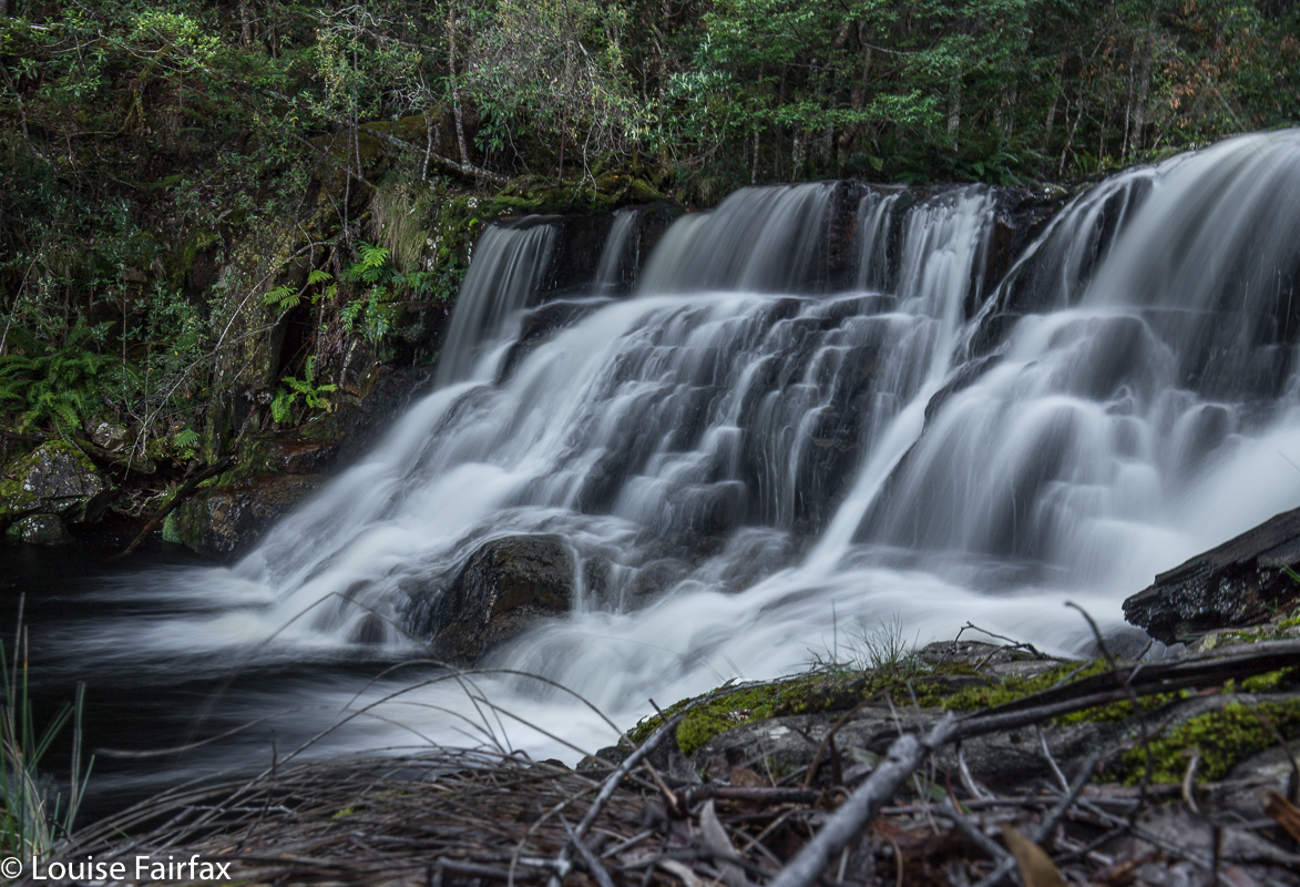
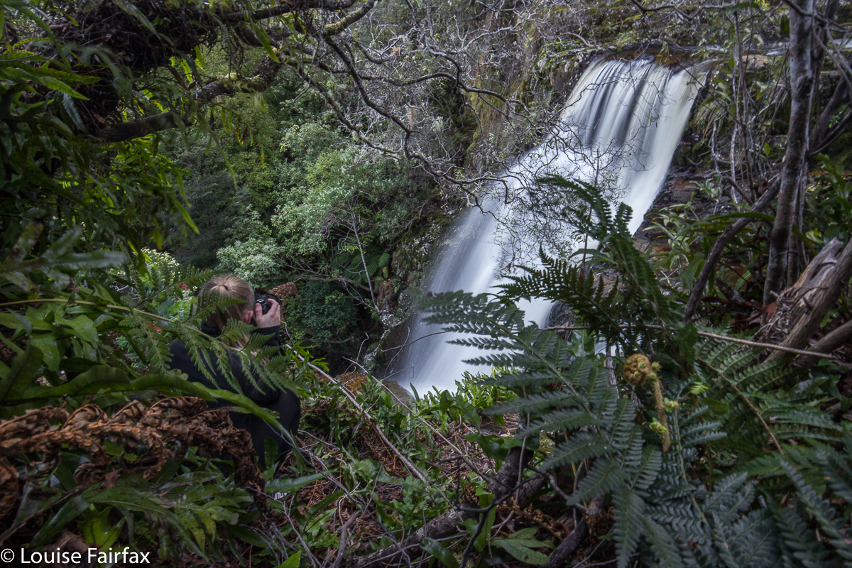
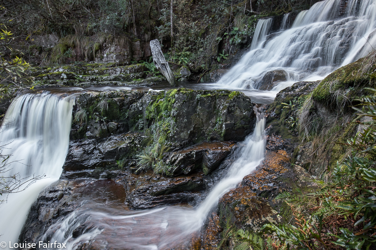
Bastion Cascades 2018 Sept

Bastion Cascades 2018 September.
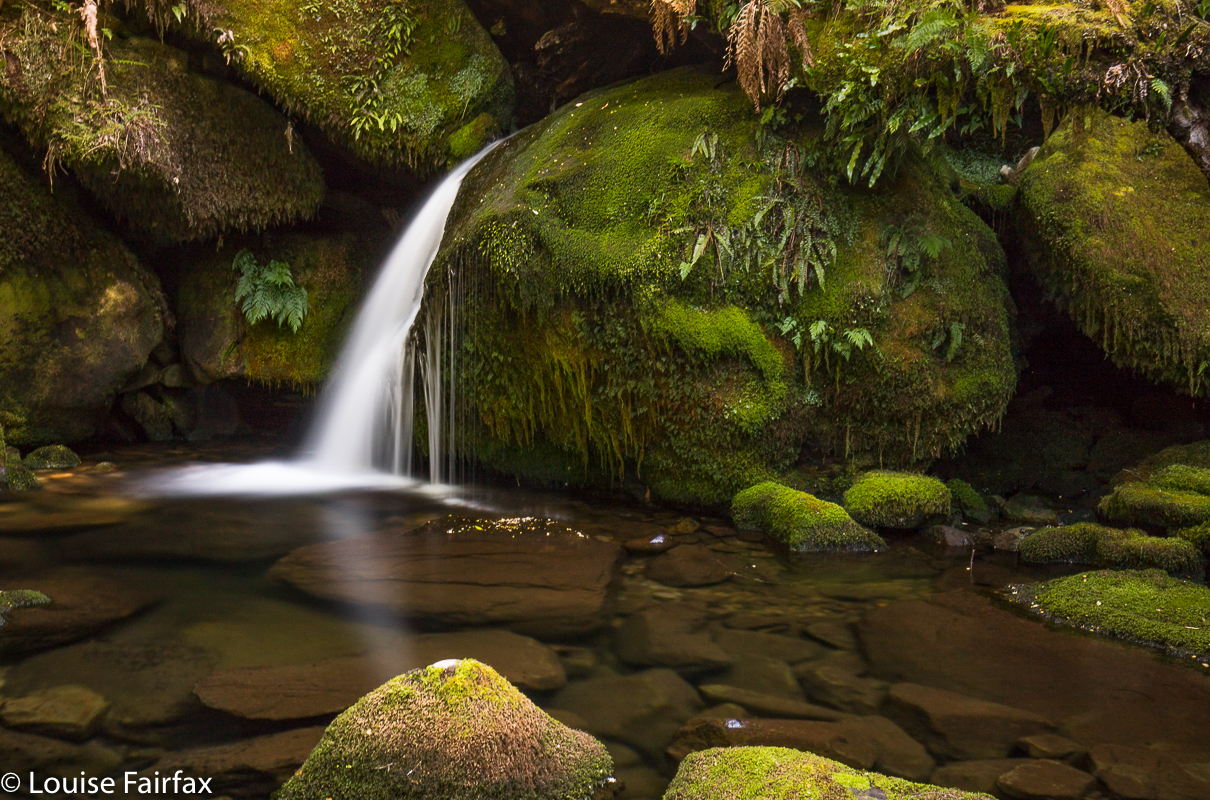
Sometimes you have a beautiful waterfall on your bucket list for ages and ages, but the opportunity to go there just doesn’t quite arise, and so it was for me with Bastion Cascades. Something always got in the road when I thought I’d like to go there. The fact that the Waterfalls of Tasmania website says the circuit takes five and a half hours, and other sites say five, did not help. Unless one got a super-early start, one would be finishing in the dark when the drive was added to this large amount of walking time.
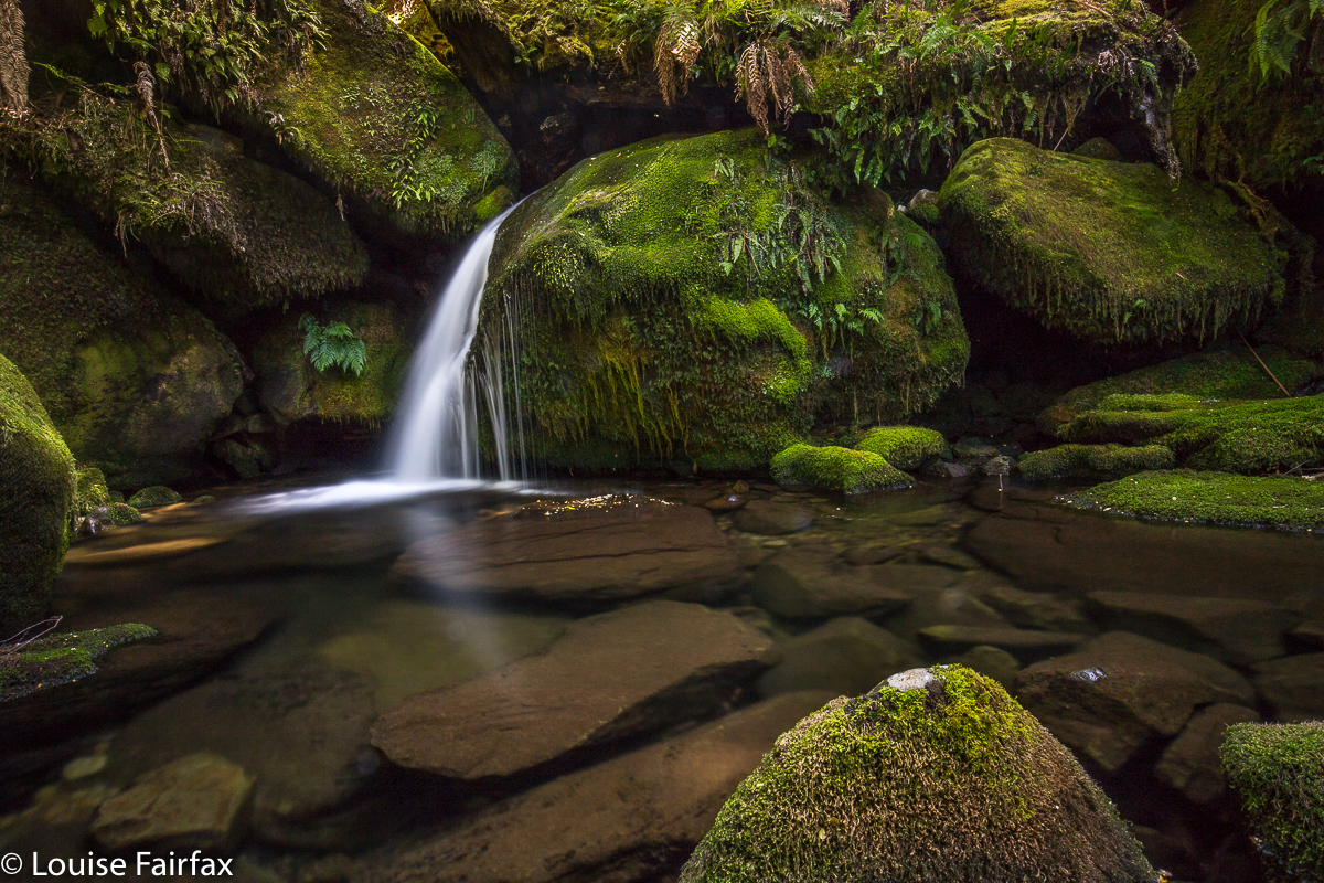
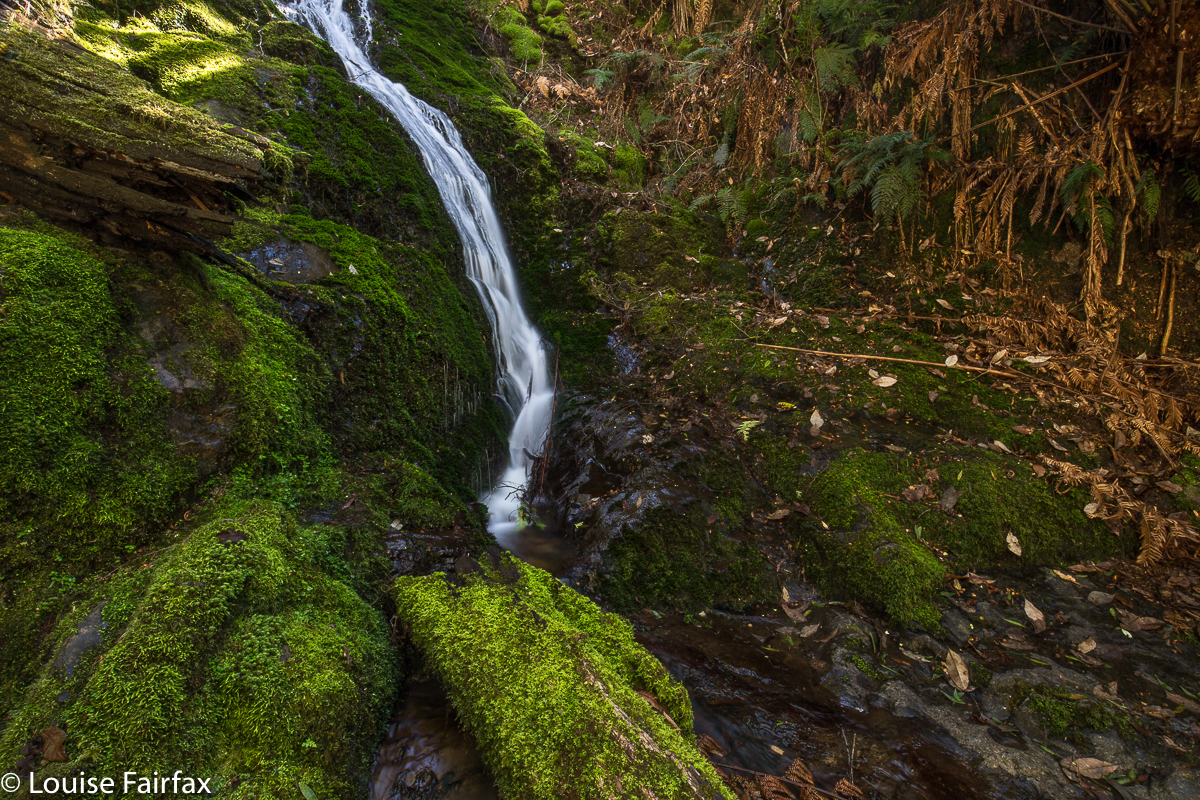
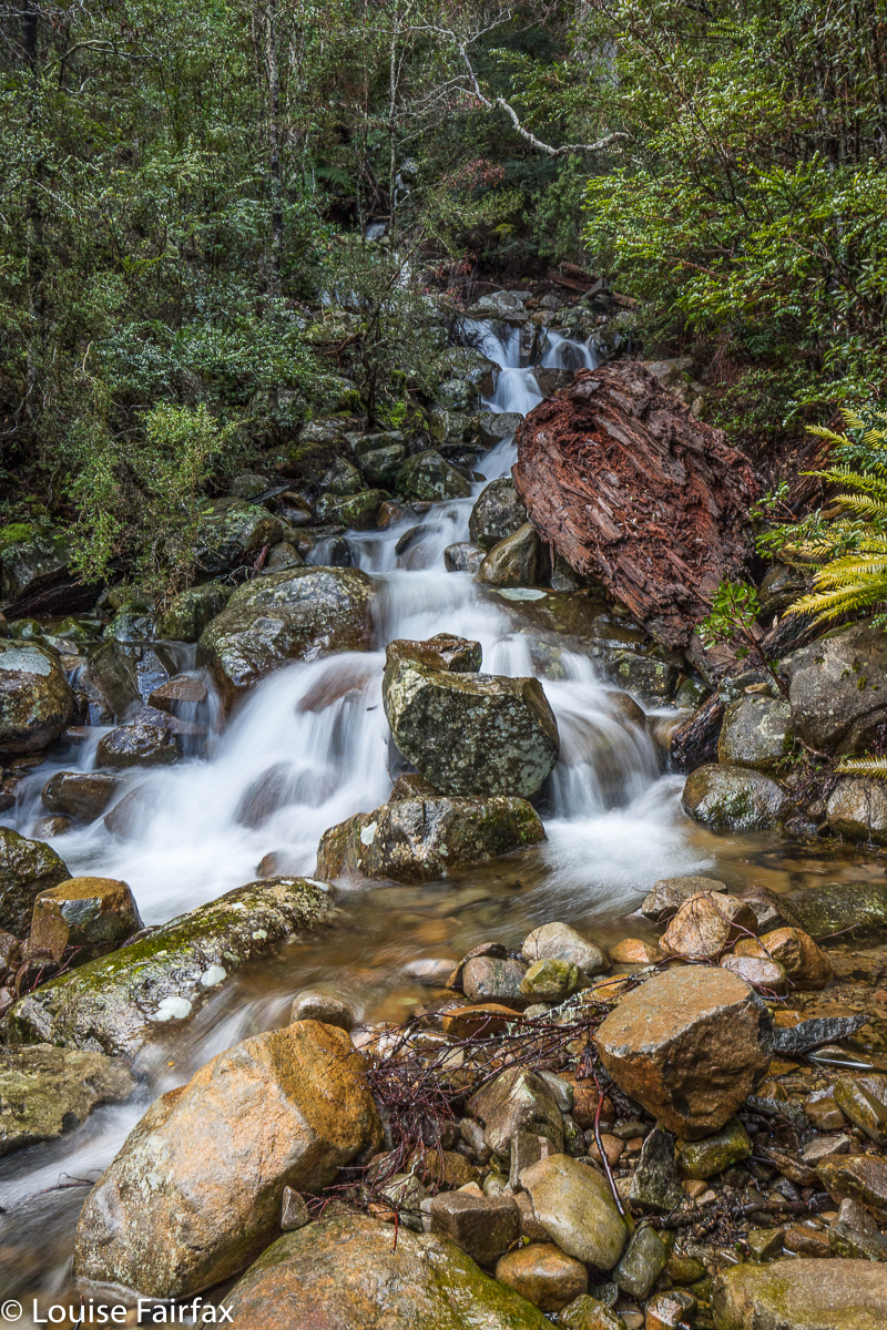
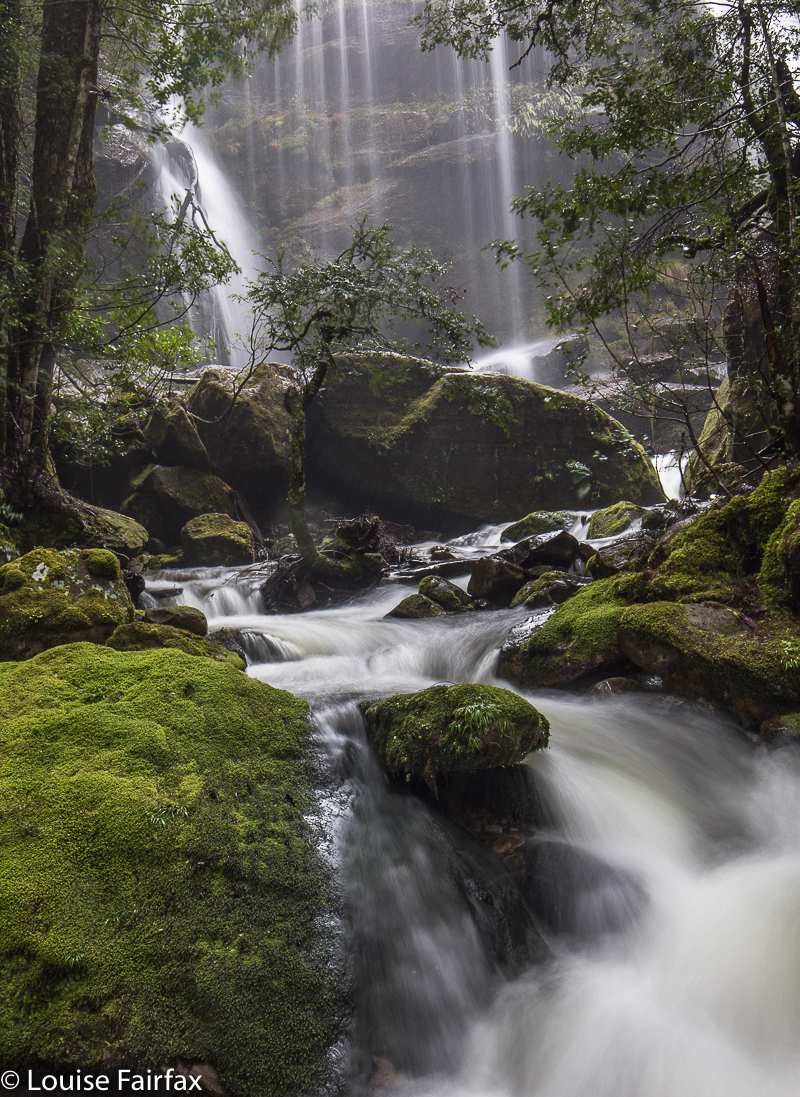
However, this morning Carrie and I went to the base of the Upper Falls of Sensation Gorge Falls (which greatly pleased us, as people said this couldn’t be done), but we were so disappointed with the small amount of flow there that I decided to abandon our earlier plans, and to head for Bastion Cascades, which always looked moist. Carrie agreed. Yet, once again, the stated time to do the walk put us off a bit, but we decided we’re fast, so we’d give it a go. We reached the first cascade in thirty six minutes. The second (that is, the actual Bastion Cascades) was seven minutes further. I’m glad I decided to risk it! After photographing small and large cascades, we continued on the circular track as it climbed above the falls, and had lunch at the amazing Stone Hut, not an exactly comfortable-looking place to stay in, but great fun to look at.
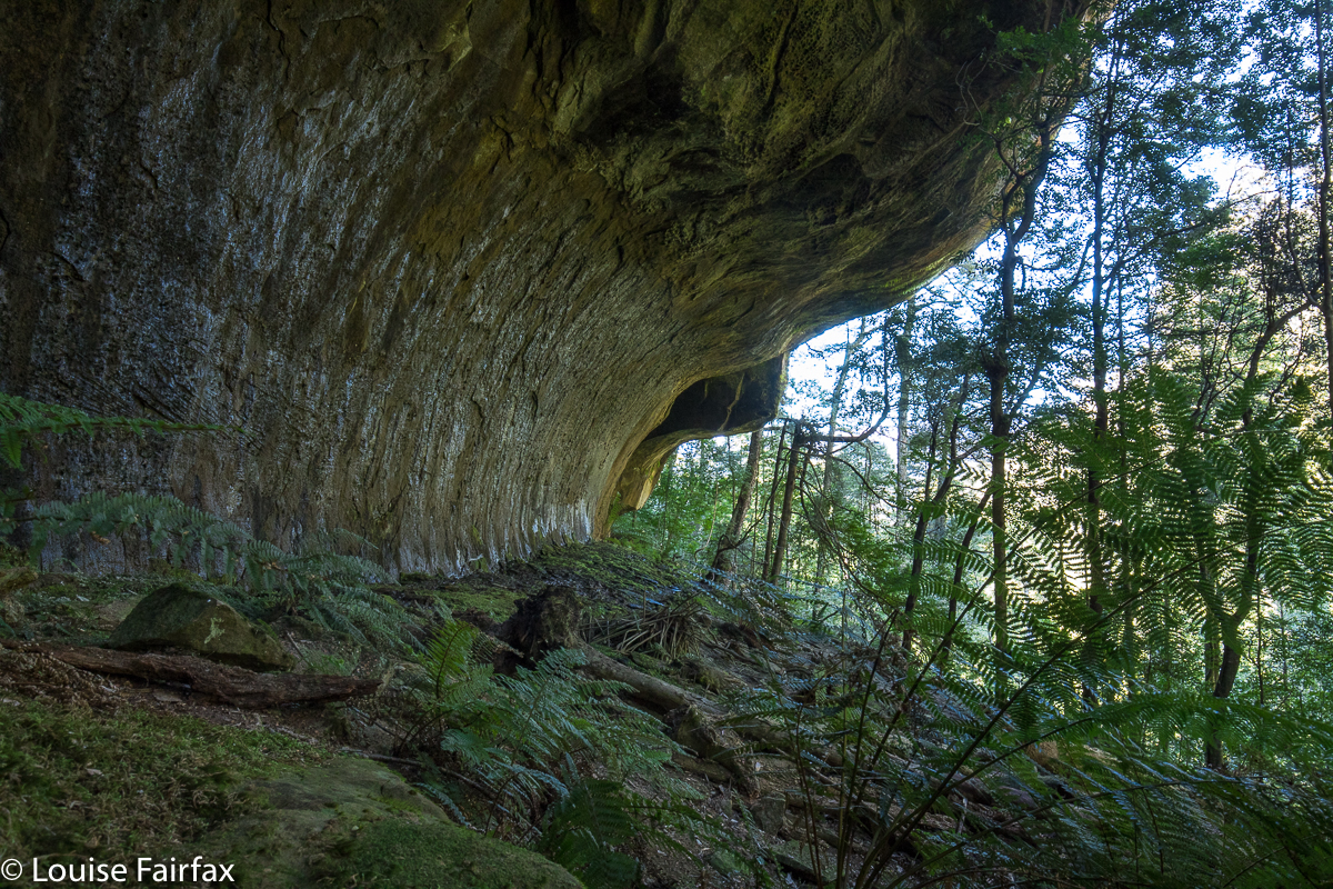
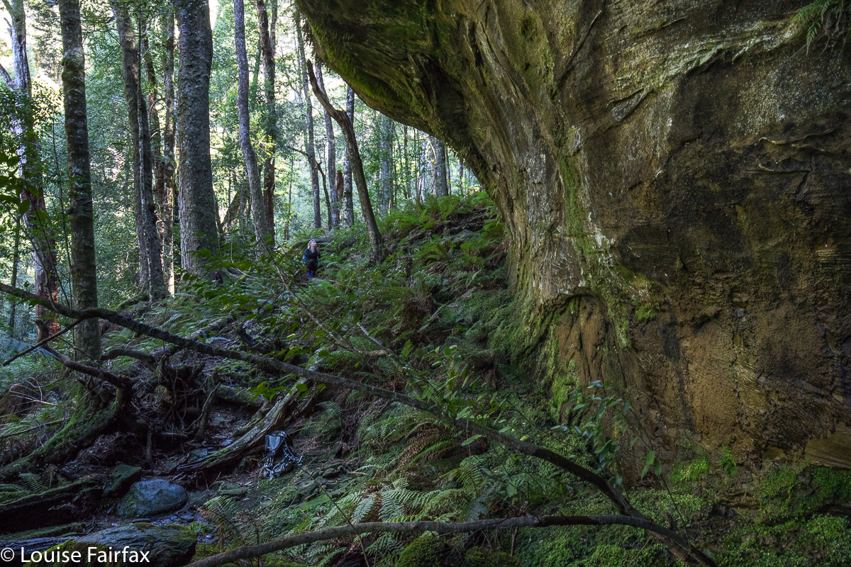
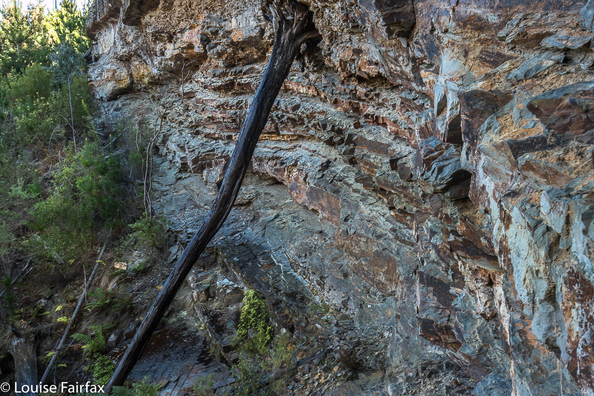
Carrie adding some scale, although she is standing under possibly the smallest of the overhangs.
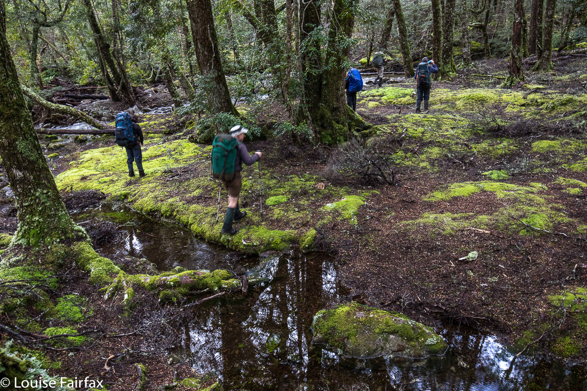
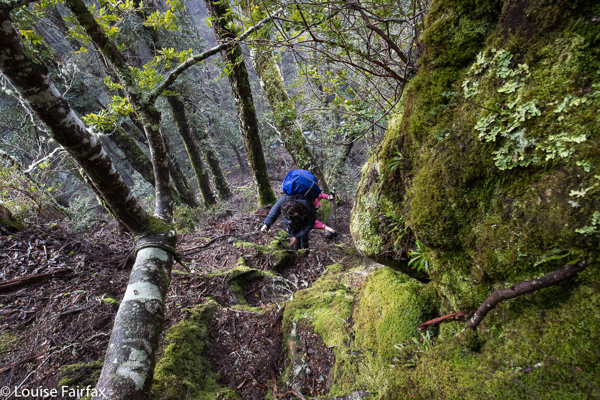
The overhanging rocks were truly awesome in their magnitude, and the whole area was lush and mossy – and steep and slippery as well. We agreed that it was not a place where you’d bring young children, especially if you were carrying one of them. Abby and Gussy will have to wait a bit for this, although they would really love this elfin forest. My gps said we walked 6 kms, and that we climbed 320 ms. Again, Waterfalls of Tasmania and Touring Tasmania both say you climb to 800 ms, kind of implying that that is how much you actually climb. You start at 625 ms, and climb to 945, so neither hint not fact is correct. Although it is “only” 320 ms, there are some quite tricky sections with permanent rope to help you, and it certainly feels like you’re working. Both of us took off a layer somewhere during the climb.
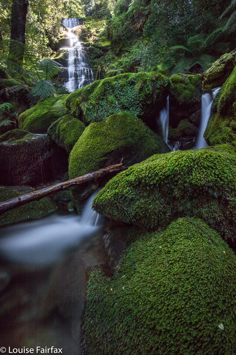
We have both fallen in love with this area, and, whilst in the midst of enjoying round one, were busily plotting our return after more rain, like a kid who on Christmas day announces that they just can’t wait until next Christmas. Like that kid, we may well have to wait until next winter. At least we now have a more accurate time assessment of our task.
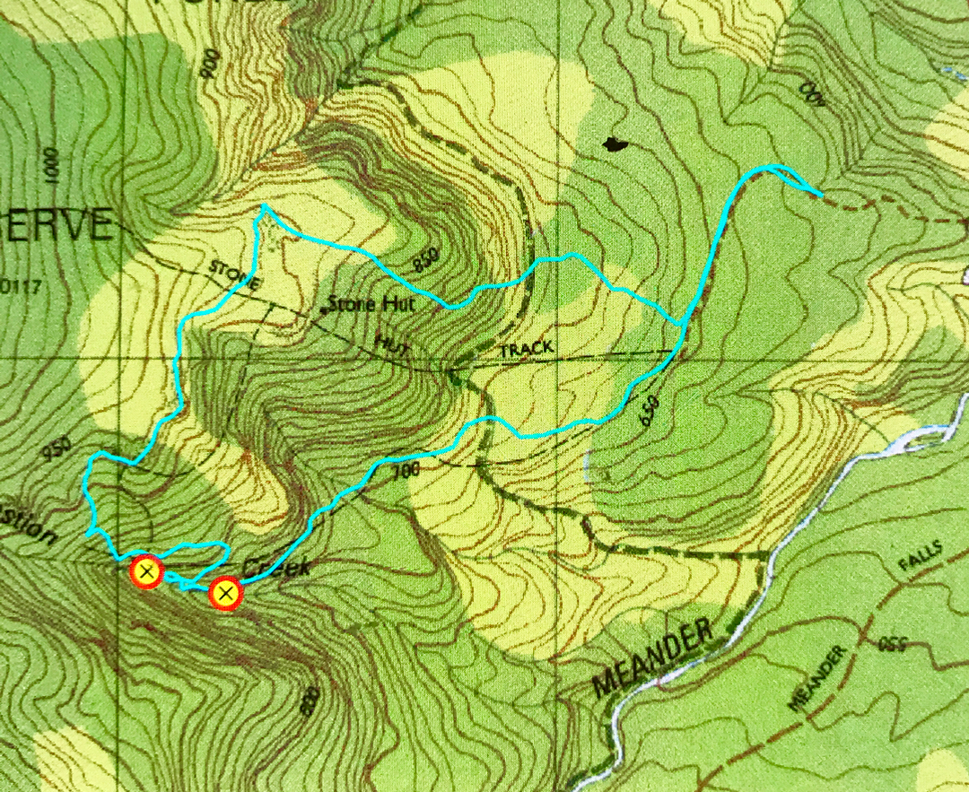
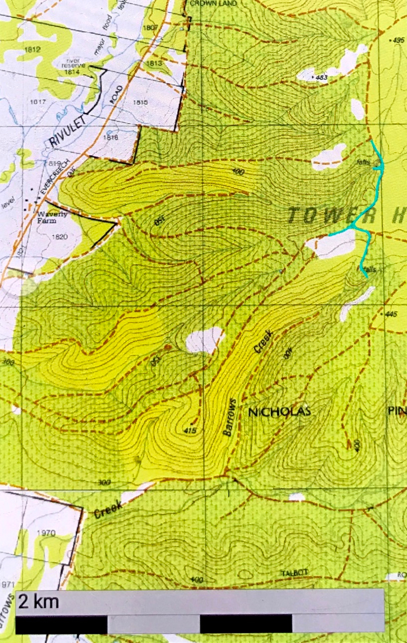
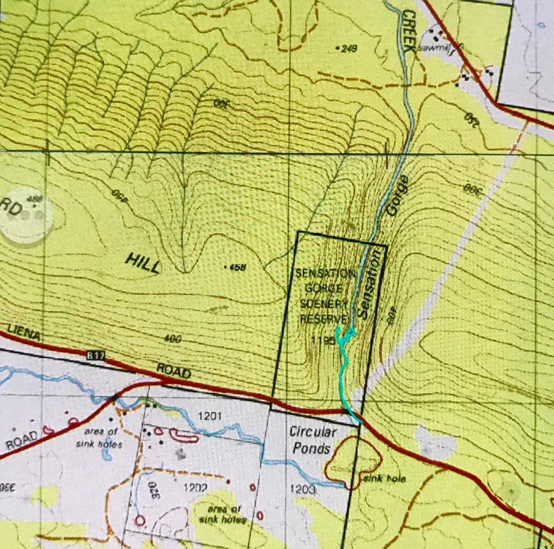
From Deloraine, follow signage to Meander Falls. However, immediately after crossing the Mother Cummings Rivulet (and the Smoko Road turnoff), there is a road on your right (Quarry Road), which looks a bit dicey, but is OK. Take it, and follow it as far as you dare. We did not go the whole way, as there were whopping mud bogs of indeterminate depth that had me too nervous to progress further. There are turning points at intervals on this road. My cyan route begins where we parked. There were two others in the forest that day, and they walked as fast as I drove for that section! After parking and following Quarry Road to its end, follow signs to the Stone Hut. Later, there will be another sign, and you can make up your own mind whether you want to visit the cascades clockwise or anti. Both directions contain fallen trees and parts that have ropes because the rock is so steep and slippery. This is not a tourist waterfall. If you go there, please remember that the beautiful moss is part of the attraction, and try to tread only on stone, leaving the beauty for others to enjoy as well.
Please note the gross inaccuracy of the original tasmap. The cyan line marks the actual track. Both the black dashed line, and the position of the Stone Hut are way off. The Hut is to the north of the top cyan line. (The contour they have it on is probably correct.) The black dashes bear no resemblance to reality. Whoever put them on the map got their spurs confused. The waypoints are where the upper and lower cascades are. Have fun. Take food with you. This is such a lovely place to stop and eat a while.
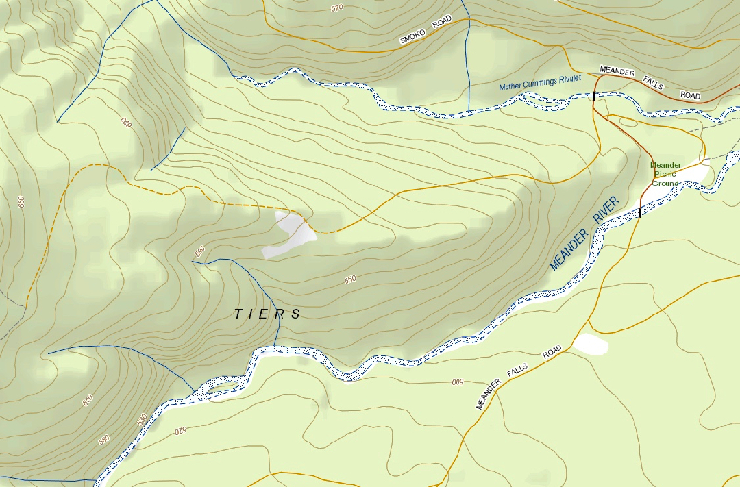

“Context statement”, showing the start of Quarry Road, after the Meander Falls road crosses Mother Cummings Rivulet. You will see that this road saves you quit a bit of contour climbing if you go as far as you can.
Mathinna Falls 2018 Tiers 1, 2, 3 and 4.

Mathinna Falls 2018. Tiers 1, 2, 3 and 4.


Mathinna Falls Tier 1.
Carrie and I were having such a fun day, having bagged two falls that were just marks on a map with no documentation (see URL below) – plus Evercreech Falls – in the morning, and now here we were to photograph Tiers 1-3 of Mathinna Falls, and then try our luck at Tier 4. I had tried for Tier 4 on my first visit, with very little light left in the day, and wearing only my gumboots. Both aspects were calculated for failure, and being alone that day – apart from having Tessa who could possibly be a liability rather than an asset – I retreated before catastrophe became the headlines.

Mathinna Falls Tier 3
Happy with the normal Tiers 1-3, up we started on 4. There were a few erosion aids, where water tumbling off the cliff left ground a little smoother than the thick scrub around, so I tried to follow these patterns as much as possible. The almost vertical land was very cliffy when not just plain steep with loose rock that did not hold. We grabbed like daemons, clutching any saplings or small bushes that would give us purchase as we hauled ourselves up the slope, both delighting in a full-body workout for the day. The cliffs drove us away from our destination somewhat, but I figured that we were going up the only possible way, and that we could traverse later if ever we got past the really steeply contoured bit. To our disappointment, although we did get up beyond the contour-crowded section, the very second the contours relented a little, thick scrub took over the battle to drive us away. We did what we could in the time we felt like devoting to the exercise, and pushed our way through the junk in the direction of the falls, which we could hear quite clearly, even if our vision was rather veiled.

Mathinna Falls Tier 4. This waterfall is absolutely massive. We were blown away by its height, which seemed never-ending, reaching below into regions we couldn’t see, and above, beyond our visual plane.
Once we did get a goodish sighting (photo above), we called it quits. There was no promise of a utopian view, so we contented ourselves with the one we’d achieved, and took some record shots before beginning the descent, the idea of which was causing a little trepidation for both of us. Coming up had been challenging. How would getting back down be? Were we about to plummet out of control, speedily downhill to a bash with a rock? Would I actually find  a safe way down? (Not sure if Carrie asked this question, but I sure did). And how would Tessa the Brave cope, heading down such a slope nose first with nothing to hang onto to break a possible tumble?


Mathinna Falls Tier 2

Mathinna Falls from the top. Carrie shooting, hiding behind bushes to the left..
On the way up, we’d shot Tiers 1 and 3. On the descent, we celebrated safety and a return to “normal forest” with a dallying in the area of Tier 2, climbing this and that interesting rock to get some angles that pleased us on this shapely fall. It was a great day.


Mathinna Falls …. the joy goes on and on and up and up … (steeply).
For the morning’s waterfalls, see  http://www.natureloverswalks.com/trickle-and-dry-falls/

Trickle Falls and Dry Falls 2018

Trickle Falls and Dry Falls 2018 Sept


With an inauspicious name like “Trickle Falls”, don’t expect too much. If you use a powerful magnifier, you might find the trickle that elevated its name from “Nothing Falls”.
Trickle Falls and Dry Falls. Do these names excite you in a waterfall? No? Well, I guess the falls didn’t excite us much either, but one visits waterfalls for many reasons. I think all three modes of waterfall visiting have their place, either to please three different kinds of people and capabilities and desires, or even one person in three different moods. Sometimes you go just to see something beautiful to photograph, but that involves no adventure at all (Russell, Nelson, Horseshoe, Liffey, Lillydale and more). Sometimes, you visit something that has a little bit of an adventure, and a beautiful waterfall at the end as well, like Machinery Creek Falls, or Tin Spur Falls or McGowan Falls, to name just a few of Tasmania’s many treasures in this realm. These falls usually have a pad of sorts, so the adventure aspect is minimal, but you still feel a certain sense of reward for having got there, despite the prevalence of seemingly ubiquitous pink tape that you possibly try to avoid in order to have the adventure you feel like having that day. Other days you don’t feel like thinking, you are in zombie mode, and the pink tape means you can zone out for a while.


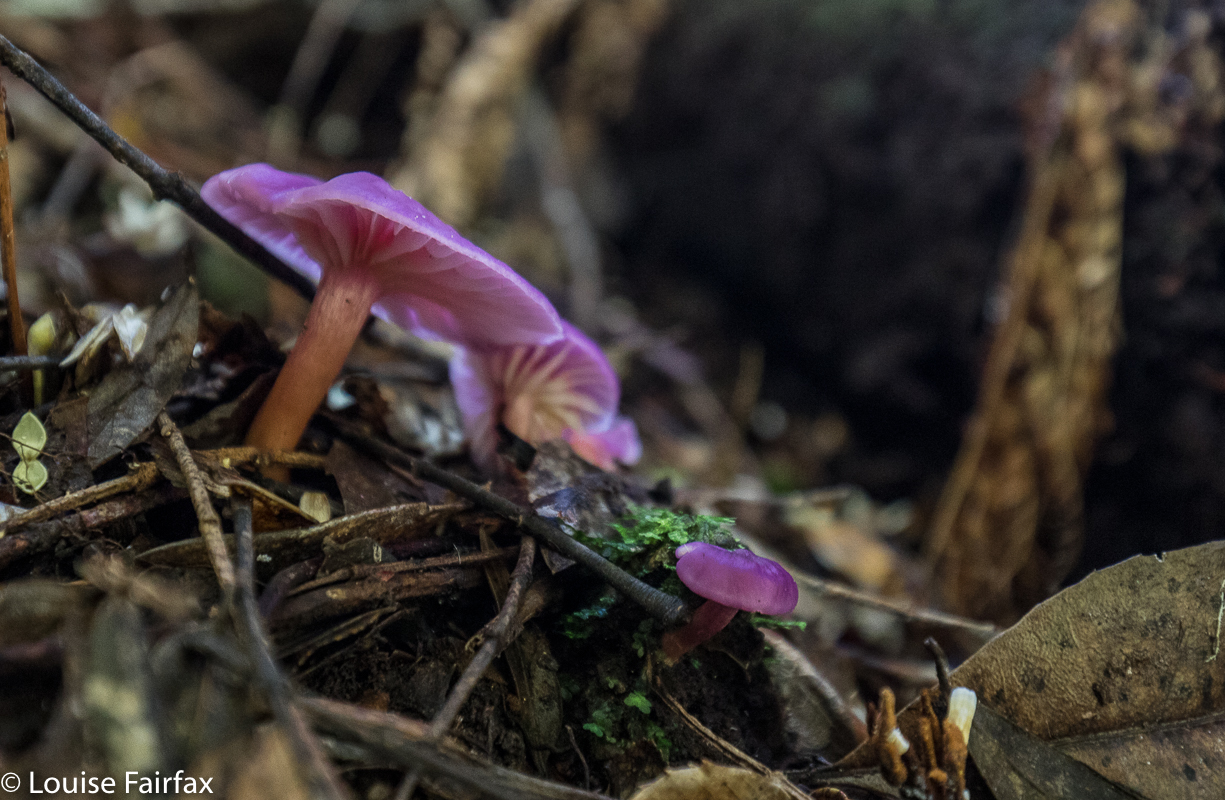
Hygrocybe cheerli, I believe (near the later visited, Evercreech Falls.
But if you are up for a real adventure – if you wish to satisfy that primaeval spirit of ‘the explorer’  that still lurks inside some of us, and which, being the lucky, lucky denizens of a place like Tasmania that still has places that remain essentially wild (whether called wilderness or not), then you can get a map, spot a little line on it, and navigate yourself off to that waterfall, not having a clue what you will find. Such was the case for Carrie and me – and Tessa – on Sunday, when I decided our waterfalls for the day (well, the first two of our seven) would be two marks on the map in between Mathinna Falls and Evercreech Falls, up on a ridge to the east of Evercreech Road (and Evercreech Rivulet).


And of course, to be dubbed Dry Falls gives you no chance, ever.
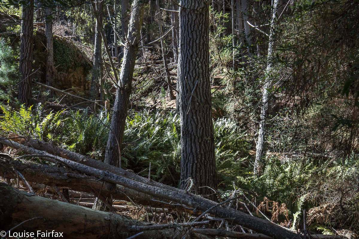
We both imagined beautiful rainforest like the forest surrounding the two falls of the big names. Not so. This forest was as dry as a bone, with fallen timber everywhere, and not at all appealing. Oh well, luck of the draw. We also expected falling water at such a mark on the map. Wrong again. As you can tell by the names we have given these falls so we can talk about them, the first had barely enough to get wet if you needed a wash, and the second would leave you utterly parched if you were thirsty.


The consolation prize for the morning: Evercreech Falls.
But we are not sad. We took photos for the heck of it, but rejoiced in the adventure we’d had playing at being explorers. It’s a fun adventure, a fun life. However, we then moved on to our consolation prizes of Evercreech Falls and Mathinna Falls, which Carrie, living as she does way to the west on the NW coast, hadn’t yet seen. Evercreech and the first three tiers of Mathinna were repeats for me, but I never mind that.


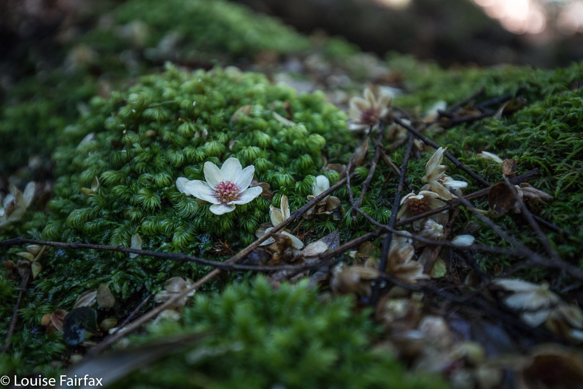
Fallen sassafras blossoms litered the ground and settled on the moss, like confetti at a wedding. It was wonderful.
The real adventure of the day turned out to be waterfall number seven, which was Mathinna Tier 4, a fun climb – a little scary – and a real feeling of triumph when we looked across at them. Omg, they are absolutely HUGE. We had that wonderulfly spooky feeling that very few humans on the planet today can have – the feeling that perhaps you are standing where maybe no humans have ever stood. The bush was very thick; the climb had been very steep on quite loose ground; we had pushed through rubbish to be where we were (with me breaking down several dead shrubs to enable our progress), and the view was not utterly brilliant, but we were seeing something very special, and it thrilled us. (For photos and report, see the blog on this that will be posted within the next day or so).


To get there, we hung a right (east) off Evercreech Road, climbing up to the left of the ridge of the knobble there. The road was dodgy. I was grateful that we were in my Subaru Forester and not in a 2WD. … And then the road became even dodgier, but we pressed on, and parked up the top. The cyan route is the walking part. You can see where we dropped down to the two falls concerned. They are “waterfall baggers only” type falls.

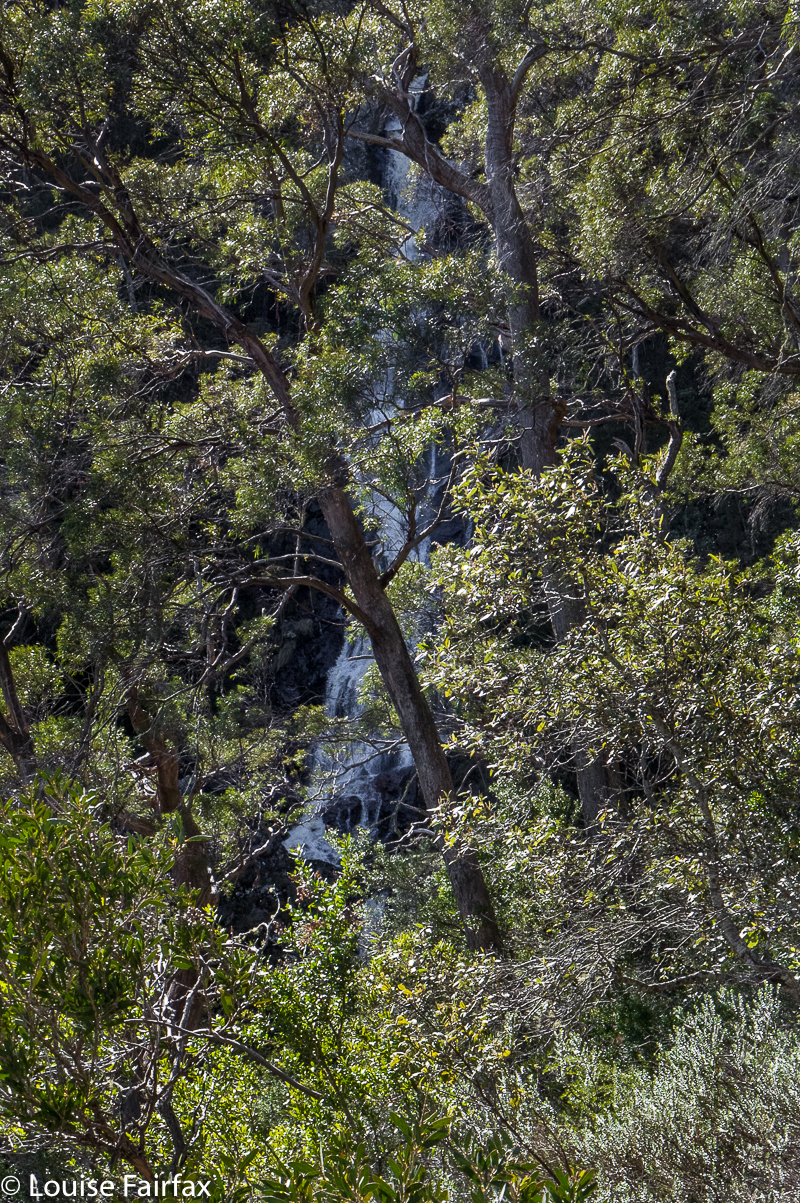
Sensation Gorge Falls 2018 Sept

Sensation Gorge Falls 2018 Sept 10th.

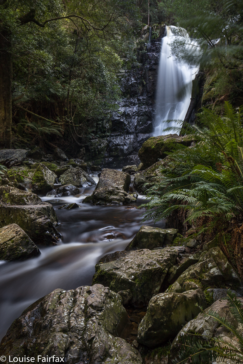
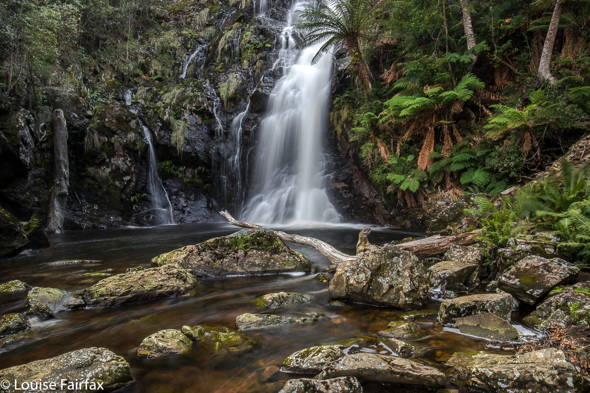
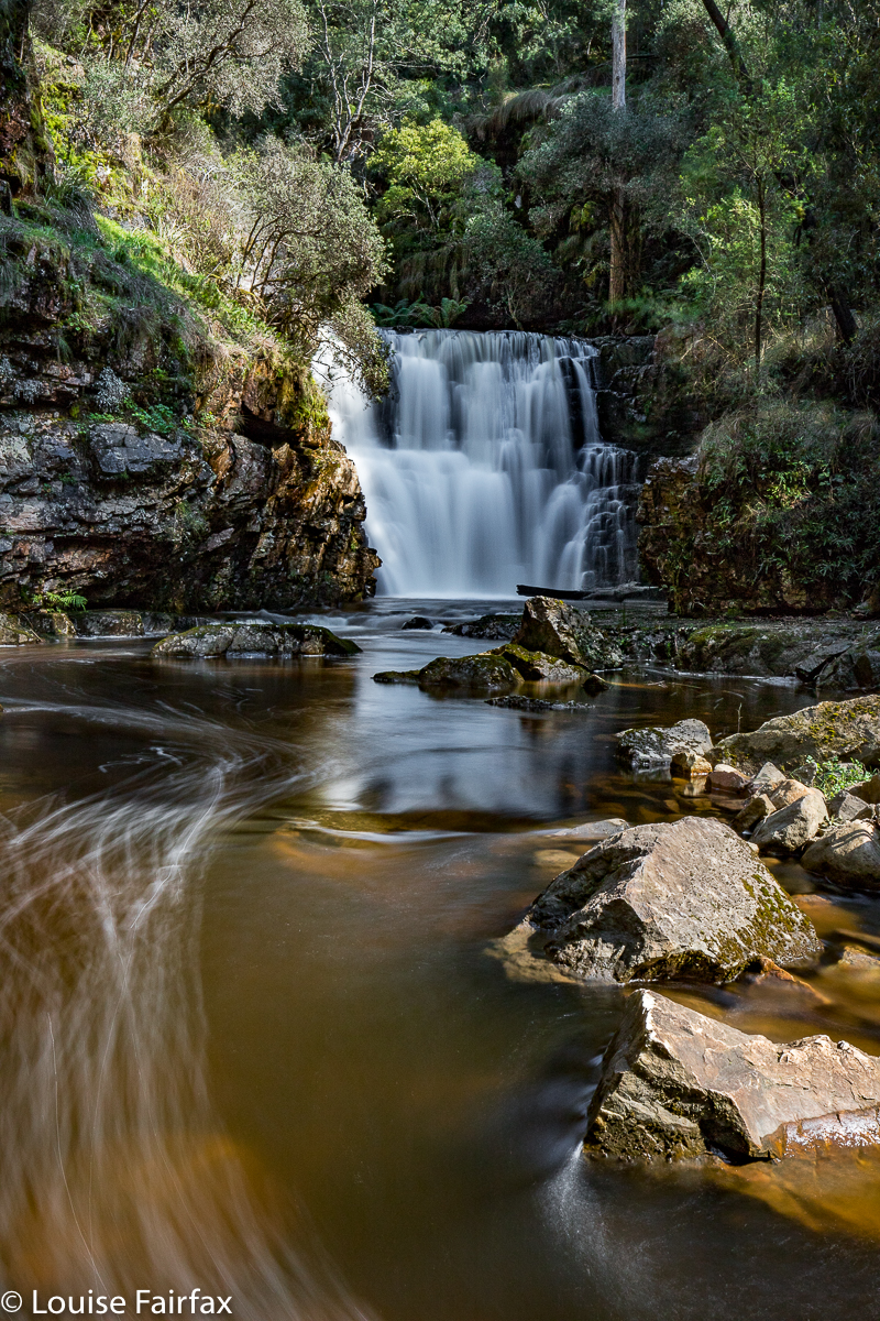
Sensation Gorge has an appropriate name, for it is, indeed, sensational. Yet at the same time, it is also serene. This seems almost a contradiction, but I did feel in the presence of something excitingly spectacular, whilst also having the impression I was encompassed by serenity. The grandeur of the gorge, emanating from a placid little stream minding its own business until it met with a mighty drop was somehow set within a context of great peacefulness. Birds sang; the Overflow Creek (now, there’s an unexciting name if ever I heard one) gurgled; the rich mosses did their shiny green beautiful thing. It was a wonderful day …. except that beautiful days are not generally good for photography of waterfalls.
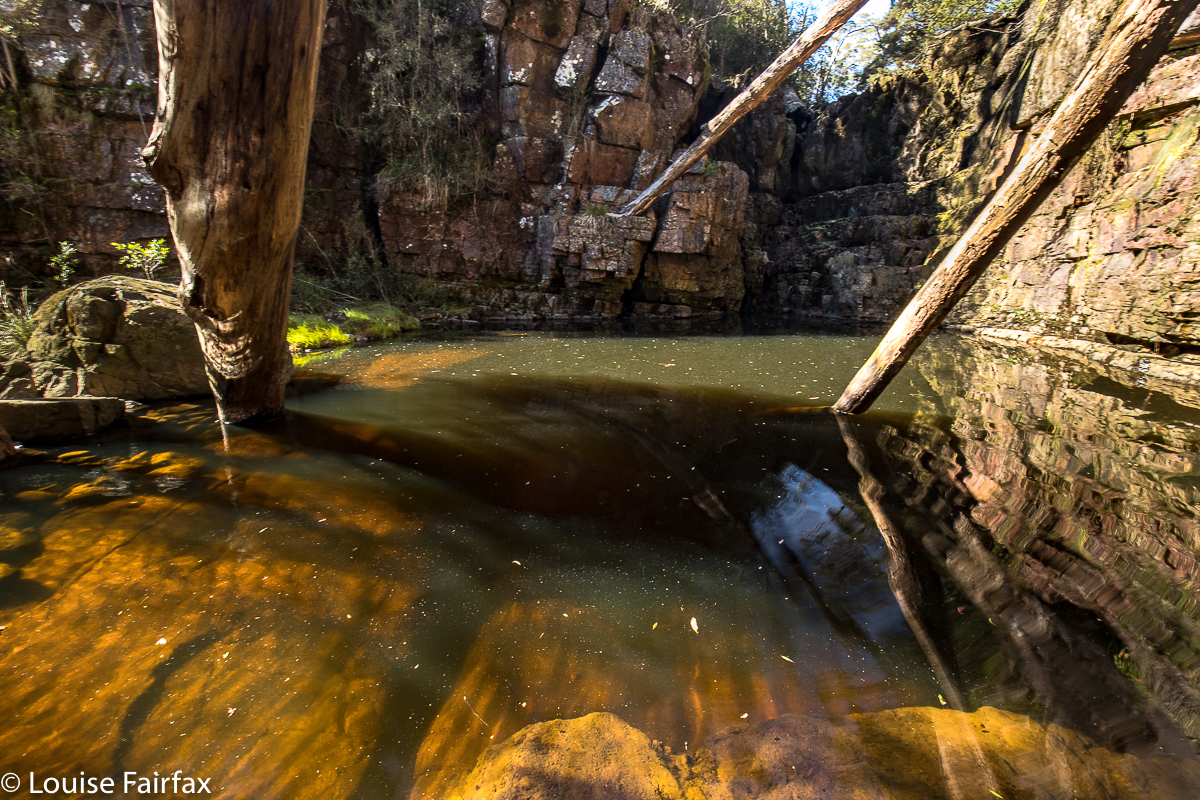
I am having a little problem at the minute, as days that are considered good for photography (dull ones, perhaps with a little gloomy drizzle) are days that just make we want to stay at home and mope. Days like today, where the sun shines and the world is good and I feel like going places, happen to be the worst sort of days for my hobby of photography. If you arrive at your waterfall at around lunchtime on a sunny day, the dynamic range between the glare of the water and the darkness of the deep shade poses a problem, even if one comes armed with polarisers and other filters. I knew this would be a problem, but it was such a lovely day, I wanted to do something pleasant on it.

I parked the car and set out along the stream on the eastern side. A little pad was discernible, and soon enough, tapes appeared. They led all the way to the base of the second falls (pictured here). This is not a tourist route, however, even though someone has put tapes out. The going was so steep and slippery in the final descent that I had to stop and fix my tripod to my pack to free up my second hand, and on the way back up, I actually started sliding backwards, despite wearing proper bushwalking boots. Don’t consider this route in anything other than boots, and only do it if you are comfortable with steep, slippery slopes. It took me approximately fifteen minutes in each direction. I needed two hands for the steep part, both up and down. I eyed the upper falls longingly, but could not see a way to their base, and the sun was shining on them quite vigorously, so didn’t even bother with a shot from above. This was a nice little excursion from Launceston. Tessa and I had lunch, cake and coffee on the way home, and had the afternoon free to cart barrow loads of mulch onto the garden, and even to have a run in the gorge. I’m afraid thirty minutes’ exercise doesn’t keep me happy for a day’s tally.


(No. I did not climb up the cliffs on the other side. That is some glitch in the gps tracking. )
Coda to this symphony: On Sept 30th, I returned to this spot ready to climb to the base of the upper falls with my friend Carrie. We got there, and were very happy (as some had said it could only be shot with a drone, or from above). However, in the couple of weeks since I was last there, and despite rain in the interim, the falls were a dastardly trickle. We’ll have to go back after much more rain and get our tootsies a lot wetter – but at least we’ve bagged the base. Here’s what we saw:

Long Lake 2018 Snow Camping. Sept

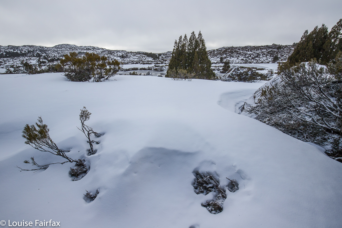
Snow Camping at Long Lake, Central Plateau. Sept 2018.


As I walked up the road leading to the old carpark – a walk we are not supposed to like, but one idles up a tunnel of pure myrtle with its delicate little leaves and mossy trunks; walking, in fact, on moss and looking out at rich, open rainforest – I became suddenly aware of how fundamentally content I was doing this act of walking in the wilderness with my pack on my back in the implicit company of a few friends, who were not actually with me at that current point in time, but were somewhere up ahead, or behind; we were together, even if not crowding each other out.

One stops, sheds something, catches up … there are moments of solitude and times of company, as one chooses.  I possibly should not have been surprised at my contentment – I am, after all,  “naturelover” – and yet it arrived unexpectedly, as I wasn’t seeking or explicitly anticipating it. It was just a feeling that overtook me as I wandered, and I realised that there was nothing else I needed at that particular moment, and that, although my darling Bruce has gone, there is a wonderful life to be lead, nonetheless. Perhaps this awareness was nudged into existence by a text I had had from my little grandson during the week, saying: “Don’t go, nanny”.  Go where? I had already gone from his house. I read it as a deeper statement of love and the expression of a desire to have me around.

The Little Fisher River is one of my favourite rivers in the whole world. It gurgles with just the right amount of pure, clear water, cascading picturesquely through open myrtle forest of green and brown, both colours rich in intensity. Every now and then monster tree trunks enter my purview, stately curving their way up to the light, covered in soft moss.  It took us 1 hr 13 to the carpark, and another 8 minutes to the first river crossing, which I was not anticipating with glee, having heard it was slippery and dangerous these days. I was keen to get it over and done with, as I don’t like carrying all my expensive camera gear over slippery terrain where it might get damaged, and I certainly did not want to land in the river. The temperature was not much above zero. In fact, light snow fell for most of the day.

From the bridge to the glorious Rinadena Falls was another hour’s walk. I love these falls, but we got there a bit too late for the best photographic conditions, and the fact that it was snowing and truly freezing did not have me leaping around with ecstasy. We crouched under branches to eat our lunch, with me hoping the frozen precipitation might slow down enough to warrant setting up my tripod. I did set up, but did a pretty rushed job, as the others were keen to move on, having already taken a few snaps.

On we went. I was looking forward to the climby bit, as I had chilled off somewhat over the inevitable stasis of lunch-munching. The section between Rinadeena and the valley above – Little Fisher Valley? – is rather steep, with two sections having fixed rope to aid climbing the slippery face.

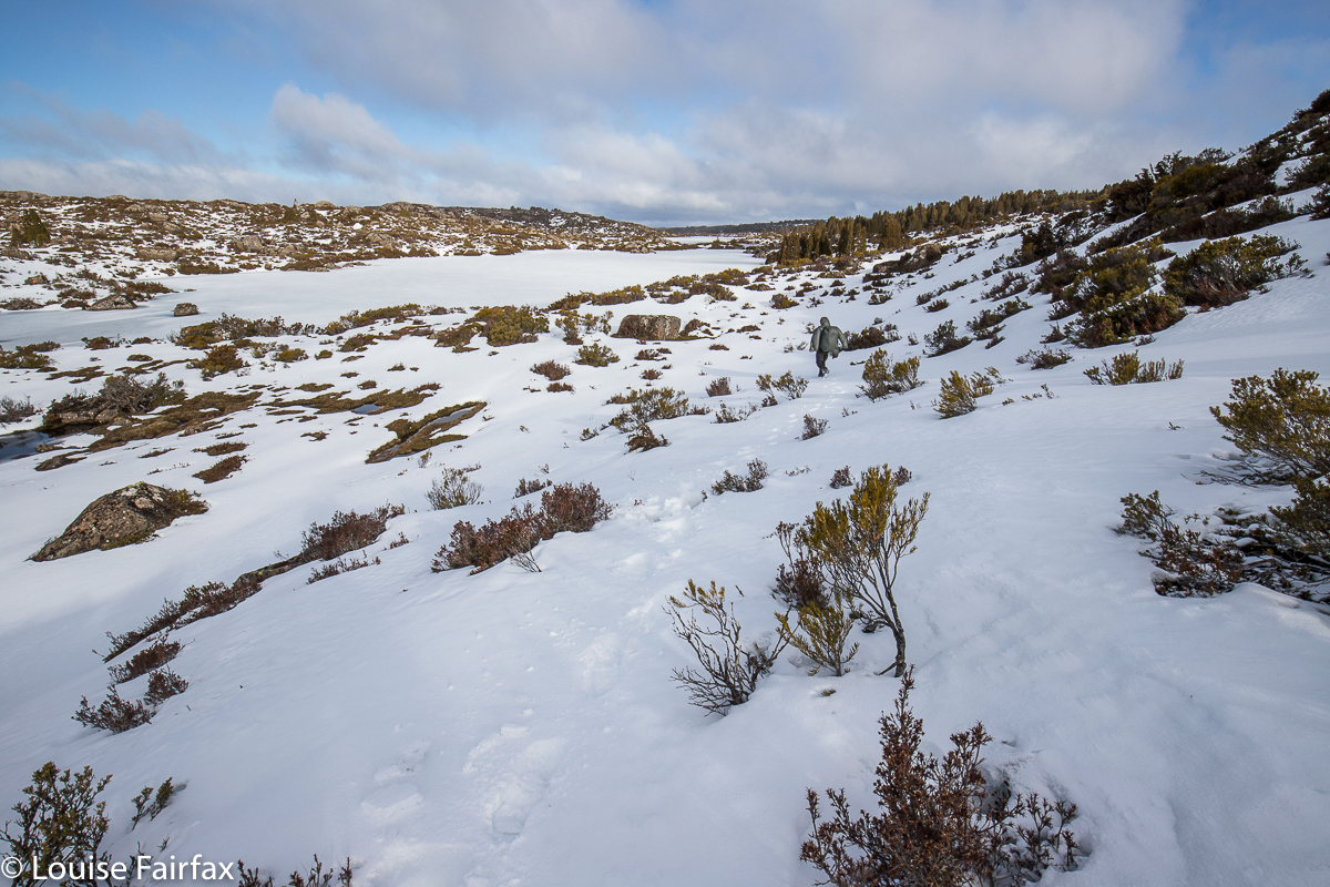
Once we entered that high valley, with its flattish area in between Turrana Bluff and Mersey Crag, the patches of snow multiplied rapidly. We also struck our first icy tarns. We still had one final climb – only a hundred metres’ height gain – to reach Long Tarn now. And once up that, everything was pure white and a fairyland of beauty. One of our party wasn’t handling the snow well, which gave us plenty of time to appreciate the various vignettes of magical scenery as we quietly wended our unhurried way towards the pencil-pine goal.  The slower person apologised; as a joke, one pointed out she had a train to catch; I said I had a doctor’s appointment at 3.16. Rolfe made a bet that the doctor would give up on me and go home. It seems he was right. I was late for the appointment, and there was no doctor waiting. Luckily I wasn’t sick anyway. Pure nature healed anything that might have been wrong.

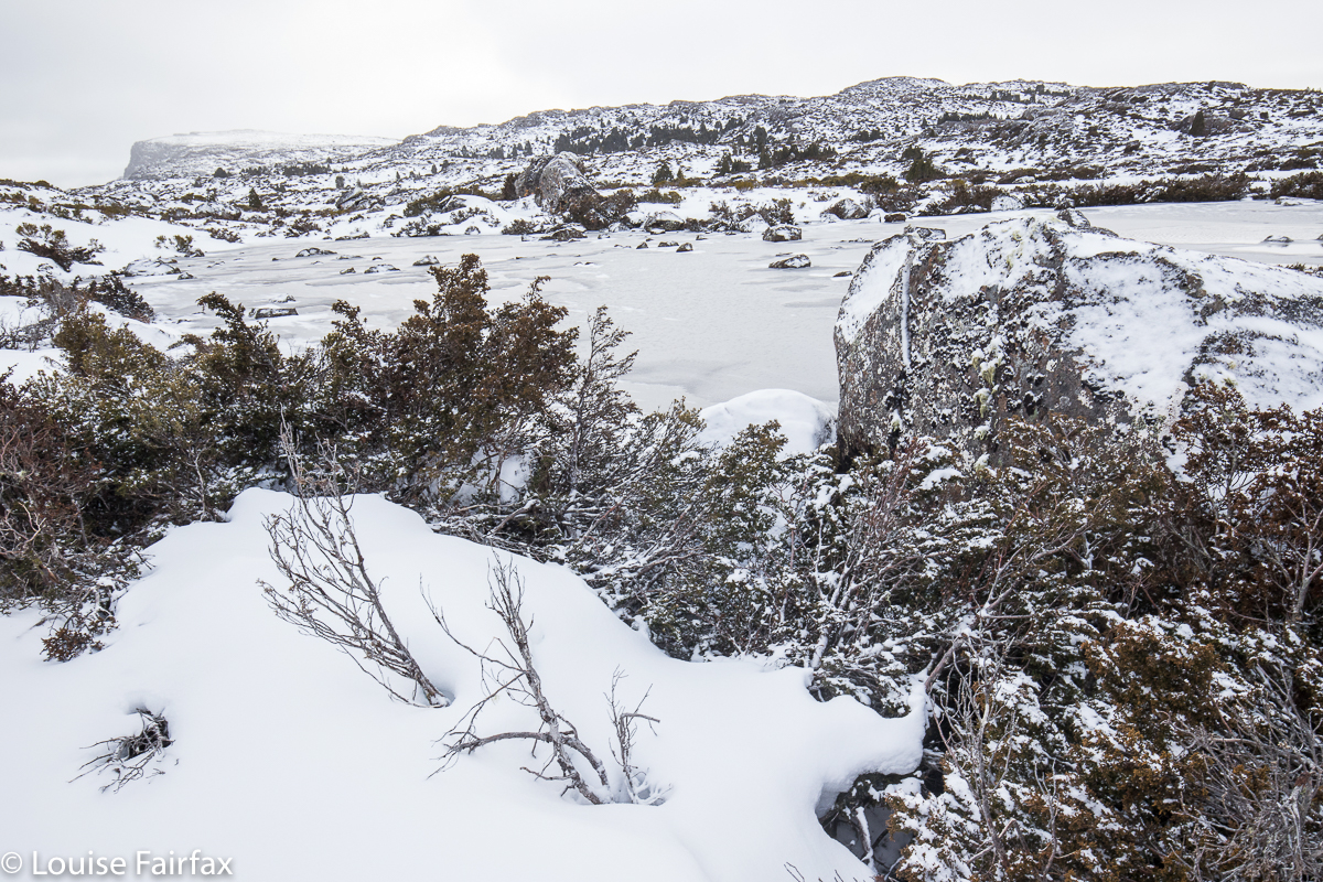
Long Lake with Turrana Bluff behind.
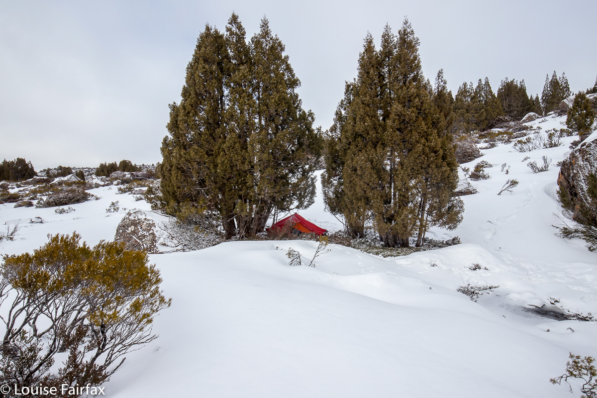
Pitching the tent was a pretty cold business, as it is a very static job, so I had chilled right down by the time my accommodation for the night was established. Rolfe suggested we walk up to the ridge to see Mt Jerusalem and Daisy Lake, and I was all for it. A bit of a climb might warm me up again, and if there was going to be any colour at sunset, we would be well positioned to photograph it. There wasn’t … but I did warm up. The cup of water I had left just outside the vestibule, however, was frozen solid. I banged out the ice so I could drink later, wondering how the other water I had gathered would hold out.

I always worry in snow camping about my ability to warm up the tent space. I am a lot more confident if with my daughters, sharing a tent (or with Bruce, but that is no longer a possibility). Two people definitely warm up a tent with no problems. The fact that I can do it alone comes as a relief and a confidence booster. My boots froze overnight (as did the laces, of course); my water bladder did likewise, but I was pretty warm with what I had brought, so was happy with the outcome. This was my first snowcamp for 2018, and it’s surprising how out of practice one can feel doing it for the first time in any given winter. I warmed the tent alone and coped alone, but I sure did appreciate the knowledge that in that pine grove over there were three others, and just down the slope a ways, two more, so that if I felt dangerously hypothermic, or if my tent collapsed overnight or if some other unplanned catastrophe overtook me, I could yell for help and someone would come to aid me, is a huge relief. This is one of the many massive benefits of being in a club.


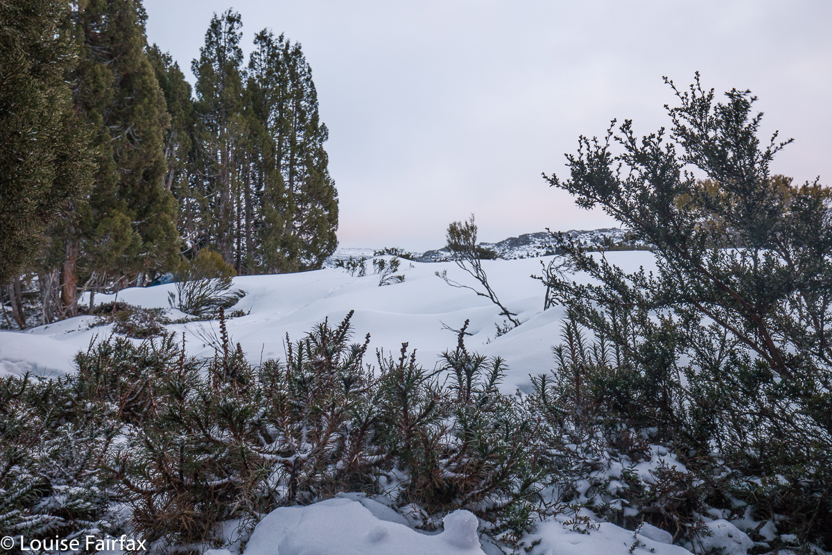
Dawn light

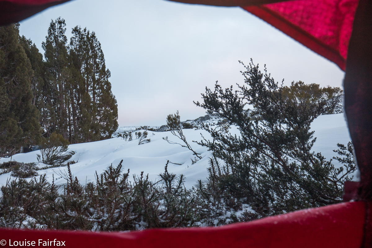
Breakfast was served in bed – in my sleeping bag, in fact – to a view of a slightly pink-tinged dawn, with light snow falling. Having my tent fly pulled right back was not calculated to keep me warm, but with beauty like that I didn’t care. I popped on an extra coat and slowly imbibed my porridge while watching the light flakes make their way to the ground. This is what one comes for. I loved it. We were all elated by the beauty as we set out for home an hour or so later. The forest was covered in a new coat of white powder, as the snow had been falling on and off all night, just a light hint of a thud against the tent. Peace.