Legges Tor 2017 Aug

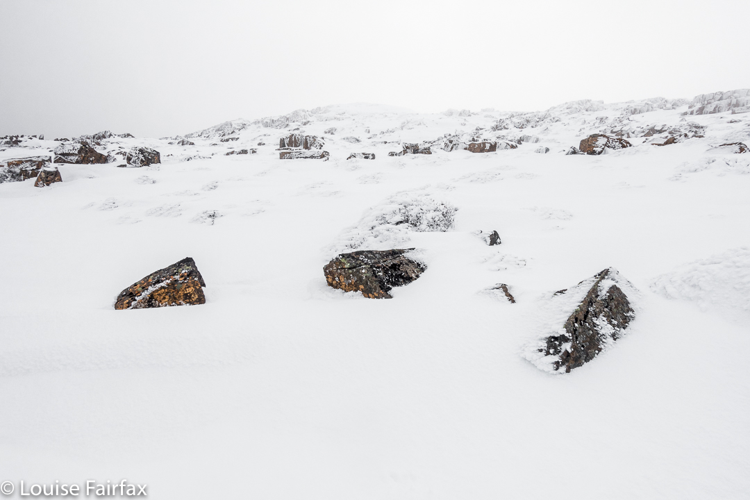
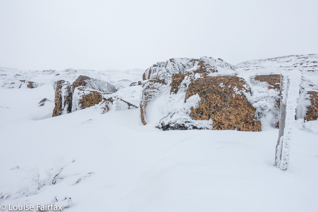
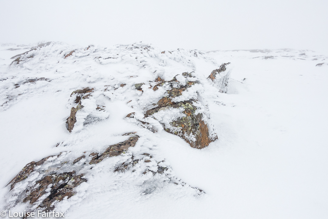
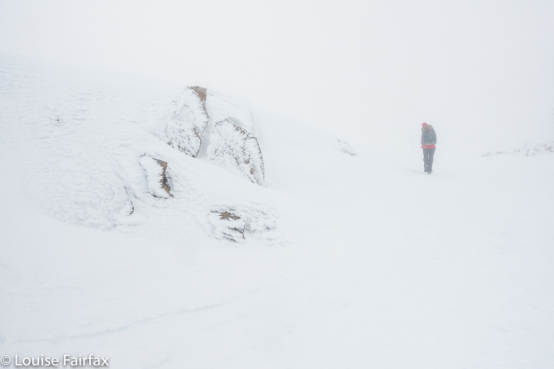
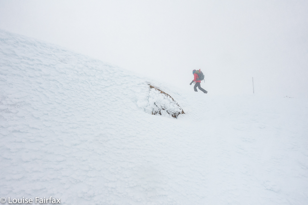
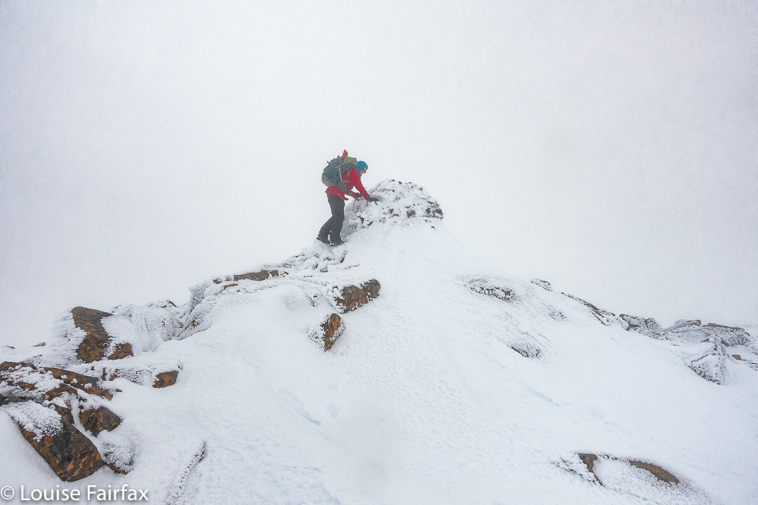
Legges Tor  20 August 2017.


Does going to a place at roughly the same time two years in a row turn it into an annual event? I hope so, ’cause I’d really like to think of our winter summit of  Ben Lomond (Legges Tor, as the particular high point on that massif is known) as a yearly occurrence.


It feels so high up there. You are on Tasmania’s second highest point, and you can somehow feel it – which is good, as each time we do it, we can see nothing much beyond the nearest boulder. You sense your height, your exposure to the elements, the fact that there is nothing of your height anywhere to the perceptible east or west. If you drew a line due west, the first point as high as you would be in Argentina. If you drew it east, it would be Chile. Directly south, there is nothing, and directly north, … well, I am still chasing that one.


Kosciusko is one degree further east, so you would bypass it, and proceed north, I can only assume until you hit New Guinea. You may have to get to Russia before you get something as high, and even then, I am not sure of exactly what. I am still trying to find out. Work in progress. If I get some knowledgeable information, I’ll update this post. I’d love to have this exact, as it greatly interests me. Google isn’t being very helpful. The point is not that Legges Tor is a whopper in terms of height, but that it is exposed to the elements up there, and the prevailing winds coming in from the west are unhindered in their path from America to us.


And the real point is that summitting it in winter is jolly good fun!

Gads Falls 2017 (Lower)

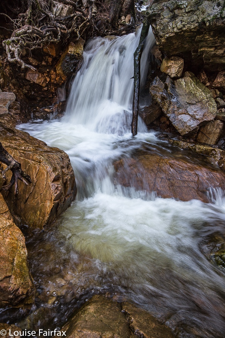
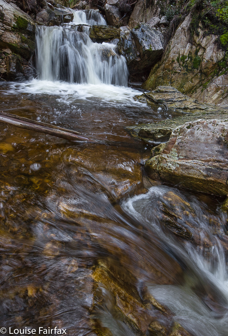
Gads Falls 19 August 2017
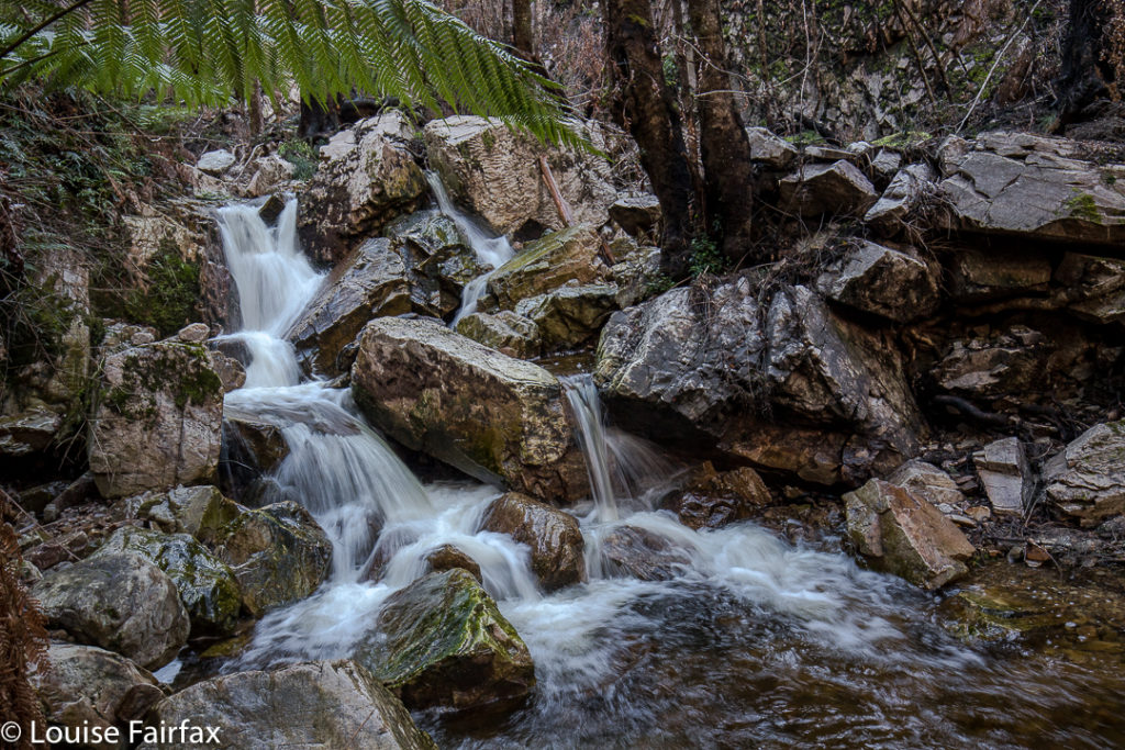
Gads Falls truly intrigue me. I first read about them in a website that made them sound simple, although it said they’d been destroyed by fire, so wait a while. However, following the recent reopening of the Mersey Forest Road, I saw web shots  depicting images of what could now be seen.
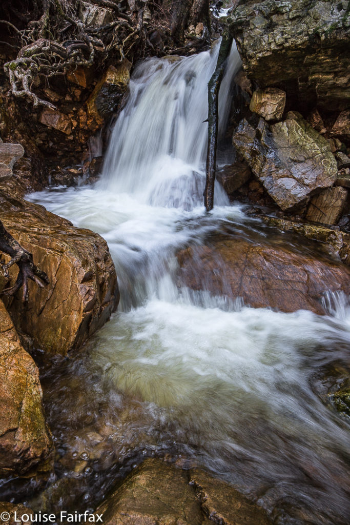

Meanwhile, I heard an old-timer from LWC talking about them as we passed nearby last weekend, and he commented: “It depends what you mean by Gads Falls. There are many falls. The first few are easy. They get harder as you go along, and the final one (here he sighed), that one is very, very hard and only for the brave.” He shook his head. Hm. Now I was curious, to say the least, although, as I don’t see myself as being very brave, this wasn’t like a dare or goad. He implied it was very steep and that the scree was loose. A different old-timer pointed out the real ones to me, much higher up than any short walk would be; you could just see them peeping out very high above.
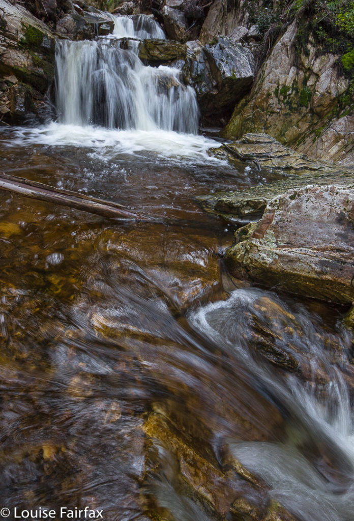

On Sunday, my husband and I happened to be passing by the base with time on our hands, so I decided to pop in and do a recce. As I had no idea what to expect – wasn’t sure how to interpret what I’d heard – and as this was therefore only a recce, I didn’t bother with a tripod. Thas quite good, for what I encountered just getting to some of the lower cascades, was very, very steep and loose, with slopes plummeting down into the various little falls (if you wanted to reach their base, and I did). River crossings needed two hands for balance. No single tumble would kill you, but it could easily break a bone or two, and I wasn’t in the mood for that on Sunday. Also, I didn’t know exactly what would happen if a landslide began, and my curiosity didn’t extend as far as wanting to test that one out. I was very cautious indeed, which meant that the short time indicated for each direction was way under what I took, especially as I did indulge in a few photos of each cascade. Meanwhile, I plotted my attack for what is called Gads Falls on the map, the ones indicated by my second old timer, and which are much higher than any web photos I have seen. A third knowledgable person told me the only photo he’s ever seen was taken with a drone. I’ll let you know if I get to the top ones. Don’t hold your breath waiting.

Re the spelling: Gads Falls seems to be favoured by Tourism Tasmania, whilst Forestry confused people by writing Gadds Falls on a signpost (not for the first time have sign posts in Tasmania confused people by having a cavalier attitude to spelling. Poor google has enough trouble trying to find our little island without that!). As ever, I let the map have the final say, and my map, having not consulted Forestry, spells it Gads Falls, so, Gads it is.
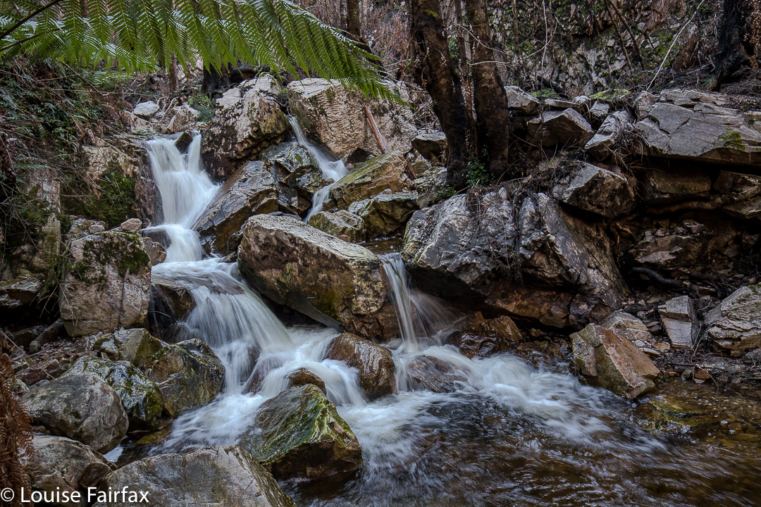
To go to the easier, lower cascades, park in the quarry to the north of Gads Creek. You can do as I did and bushbash to the creek and cross over, which is tricky in these winter high flows, or do yourself a favour, as I did on the way back, and cross the creek on the road, and proceed upstream from there. You will come across the odd marker that has survived the fire, and see bits of remnant track, but the distance is only a few hundred metres, so just work your way upwards. You can usually see where other humans have trodden. The moss has been mostly burned, but the cascades and stream are still very attractive.

Walls of Jerusalem 2017 Aug Snow

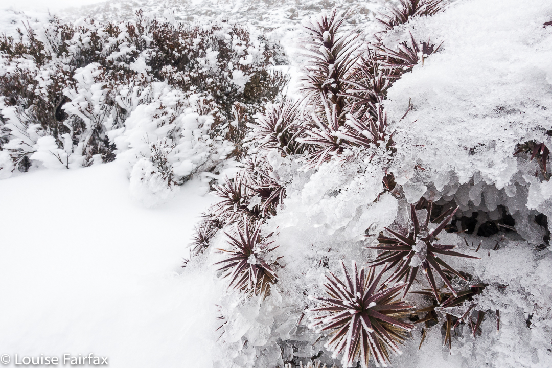
Walls of Jerusalem in Snow. 19 August 2017


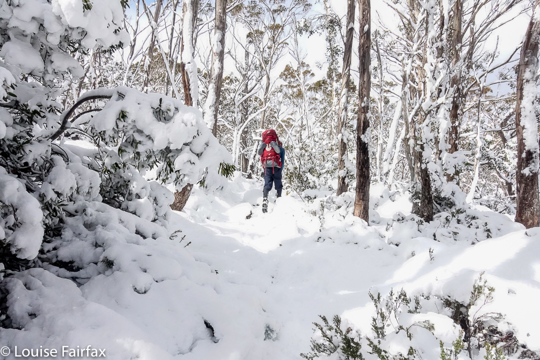
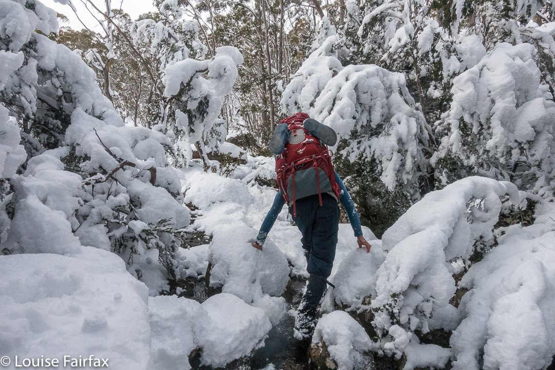
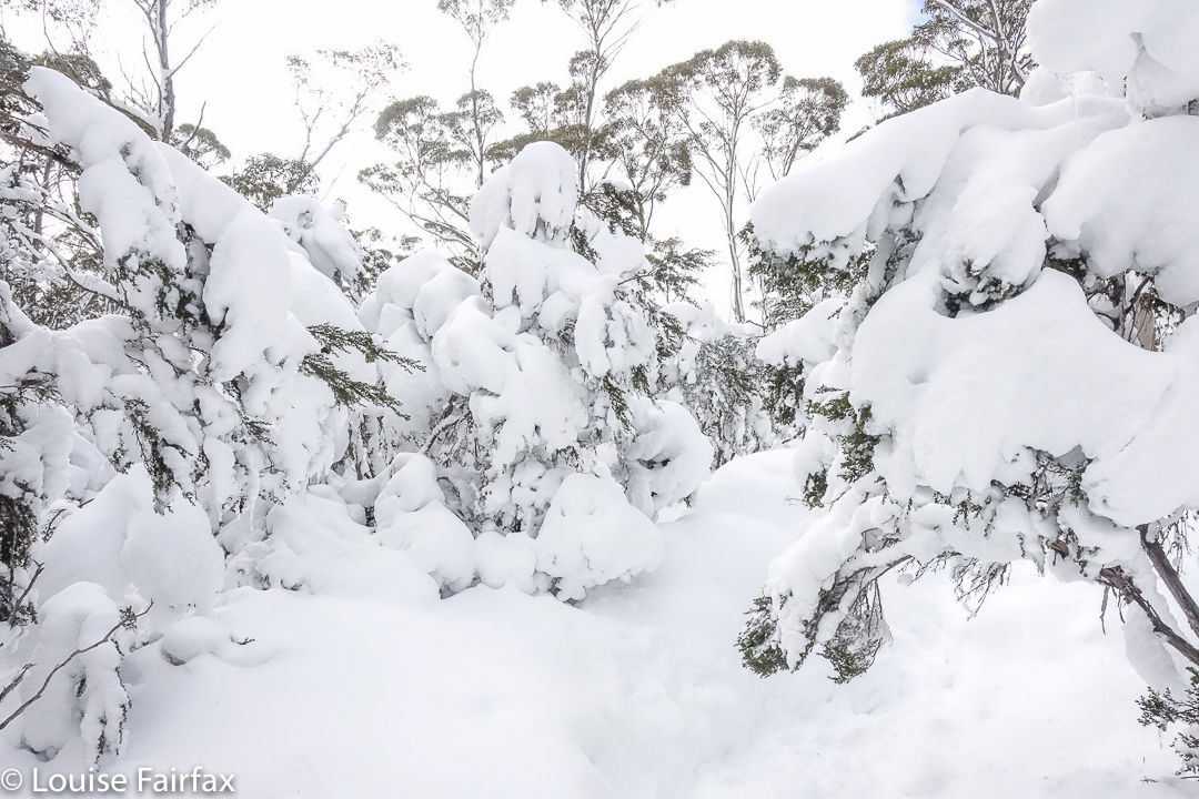
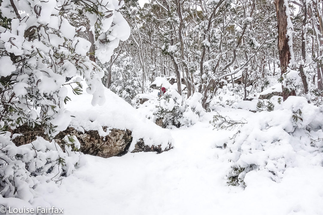
We have been to the Walls a few times in winter, in glorious snow, but never have we seen it as tantalisingly lovely as it was this time. We encountered snow well below Trappers Hut (which is normally our snowline), and were in a fairy-wonderland long before we reached that cute little rest point.


If you think that pack of his looks huge and I am a mean wife making him carry so much, please be reassured: my pack was much heavier than his, and I had the shared-type items for the two of us. I have taken huge measures to make myself stronger as he becomes weaker so we can both keep going.
My husband had indicated after last week’s successful foray into white wonder that he felt he was up to a weekend walk to the Walls, so we acted accordingly. However, Parkinson’s is a fickle disease: this week you can be fine (relatively speaking), yet next week, you’ve gone distressingly downhill. This week was not a good week, and he struggled badly. The further we penetrated into the white wilderness, the less coordinated he became. His pace slowed to a virtual halt.


I got very embarrassed, as we were holding the others up dreadfully, so, at lunchtime, I regrettably pulled the pin and took us out, waving wanly as the others headed off to Herods Gates and where I wanted to be.


We began our path downhill, the weather making my decision easier to bear, as the clouds were amassing. My husband’s spirits picked up considerably as we descended, and we had a happy afternoon, figuring we’d managed to be in the beautiful snow for the best part of the day anyway. However, as we walked before lunch, I knew I was looking at my husband climbing in snow with a proper pack on his back for the last time. We have had many sad “last times” since his illness has taken control of him, but this is one of the worst, even though it is not unexpected. At least he can still do daywalks in the snow. For now.

Meetus Falls 2017

Meetus Falls 16 Aug 2017
It has been raining for ages. Where I park at the gorge, the water was so high that the huge skip garbage bins were floating, and my car was an island, out of which I had to leap in order to keep my feet dry. (Funny that no other people seemed to try this method of parking). Surely this was a great day to find the Lost Falls (that only flow under such conditions) and their nearby neighbour, the Meetus Falls.


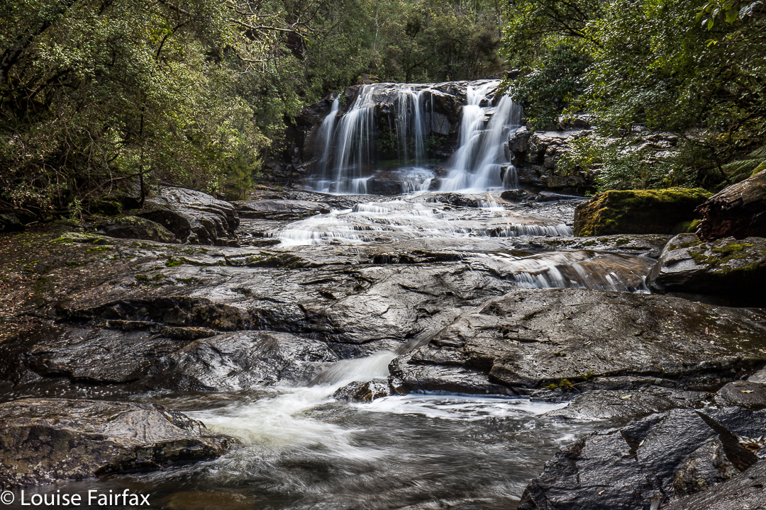
Above are some beautiful cascades that are below the Meetus Falls proper, on the Cygnet river.
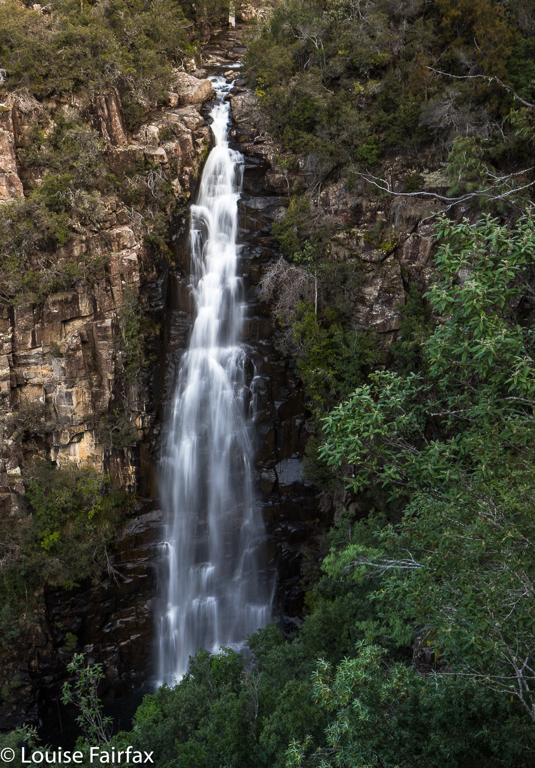
The Lost Falls were a lost cause (http://www.natureloverswalks.com/lost-falls/) – that is, we found them, but they lacked water. However, the Meetus Falls were flowing nicely. Tessa (dog) bagged both, as did my husband. And they both reached the river at the base of the falls. The path down had been very muddy and slippery – so much so that I led them on a quasi bushbash on the way up. It wasn’t really a bushbash, in that I followed what must be a path from yesteryear, still mostly discernible on the ground, and much easier than the route we were supposed to be on, which was mud with no catching points.


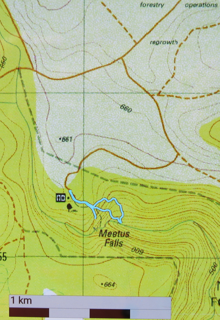
To reach these falls, drive to Campbell Town, and turn east along the Lake Leake Road. Continue on past Lake Leake (and Lake Road that leads to it), and past Kalangadoo – the petrol station cum general store further along on that road – until you come to a huge intersection with traffic islands to each side. For Lost Falls, turn right and drive “4 kms” to their turnoff proper (see the blog on Lost Falls for exact details). For Meetus Falls, turn left (north) and drive 11 kms. A turnoff will then direct you right to the falls. At one stage in the final section there is a Y-fork with no signs. I chose right (see map below) and found the falls. On the return, when heading back to the Lake Leake Road, I came upon another unsigned Y-intersection which presented me with a choice I didn’t feel like making. I chose left and found the highway, but kept wondering if I should have taken the other alternative. I was very pleased to find the traffic island and advisory hut that signalled the approaching major road. I was starving by this stage, and didn’t feel like being delayed by error.
Lunch at Zeps was as delicious as ever, and made more so by my extreme hunger.


Just for your interest, the path going down (the more northerly section of the circuit I made) is the official one. The more southerly part was, firstly, me getting a better view, and then us going straight back up rather than re-using the mudslide. The conditions were far too slippery for me to attempt a traverse over the rocks to the actual base of the falls. Another day, a different pair of boots.

Owen Brook Falls

Owen Brook Falls 2017 Aug.
Our trip to the Owen Brook Falls (south of Burnie in the Ridgley area) began with a trip to the Upper Cam Falls (route details in the blog of that name, viz.: www.natureloverswalks.com/upper-cam-falls


From these, we returned to the C103 and continued northish until that road intersected with the C101. At this stage I was a little unsure as to what to do next, but there was a very nice man nearby, a local, and I was wondering if he might be the person I needed to ask to get permission from to go to these falls (or might at least know whom I should ask), so I asked him about the finer details. He was very helpful, muttered nothing about private property or keep out, and told me exactly where to go, which was to turn left onto that branch of the C101, and to drive 3 kms to the end of the bitumen.
At this point there is a very rundown ex-house, where one used to ask permission. With no-one there, I just went across the paddock behind said “building” and headed for the falls, which were, as you can see below, rather hard to get a good view of. You would be mad to not take in the Cam Falls along with Owen Brook, as they are very close to each other, in gorges that meet just below each fall. (The Cam Falls were on the East Cam River. The Owen Brook Falls are on Owen Brook, which joins the East Cam just below both falls. ) Take your lunch, and then you can explore the gorges more than I did. Hunger pulled me away.
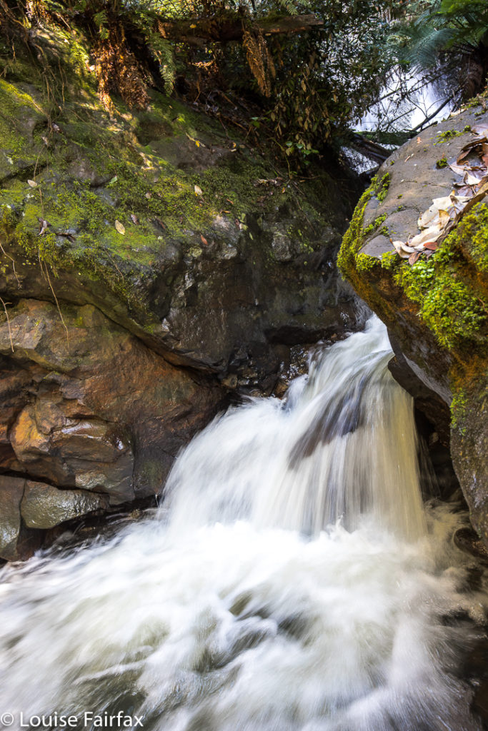
This is the base of the Owen Brook Falls from as near as I was game to go in the slippery conditions of the day. I was unwilling to climb any of the mossy, near-vertical rocks on offer to try for a better shot of the falls, which are huge, and whose base part A can be seen at the top of the image. I was also hungry, and if you haven’t yet worked it out, my stomach rules. This was as good as it was going to get this day, and this is the only web image of the Owen Brook Falls I can find, so you are not allowed to complain. 🙂


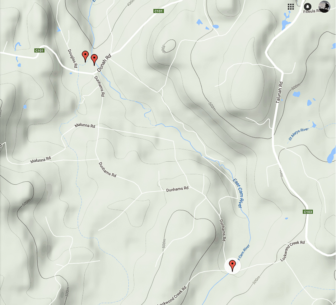
The top two pins are the Cam (R) and Owen Brook (L) Falls. The bottom pin locates the Upper Cam Falls.
See also www.natureloverswalks.com/cam-falls/