Rocky Hill 2017 May

Rocky Hill 14-16 May 2017
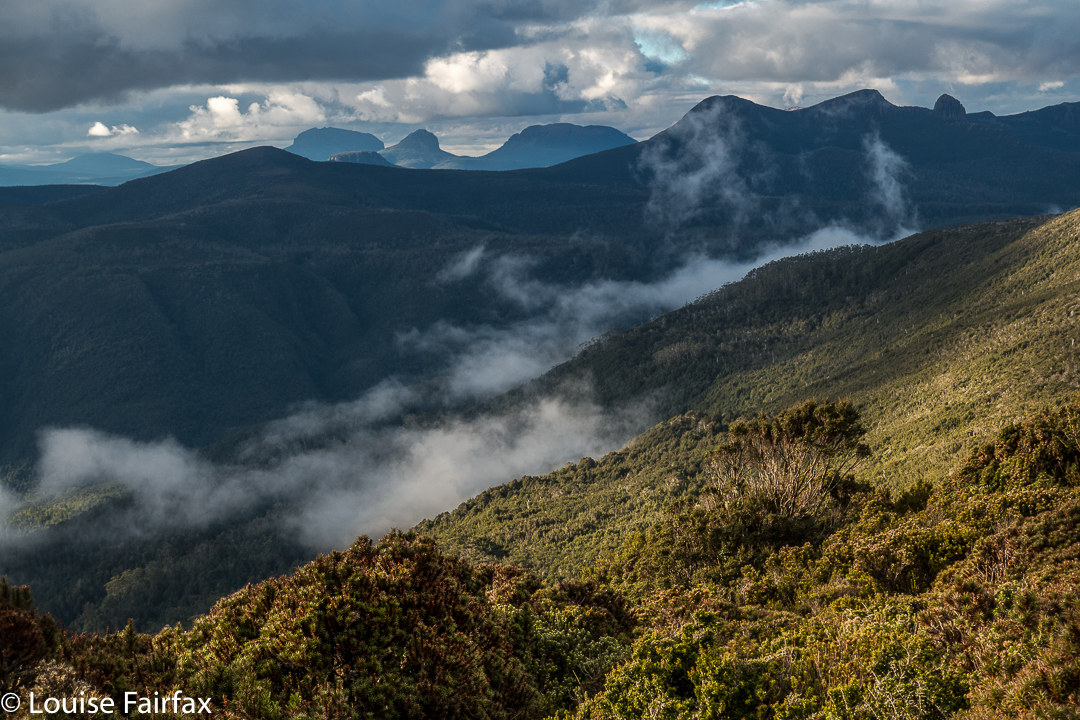

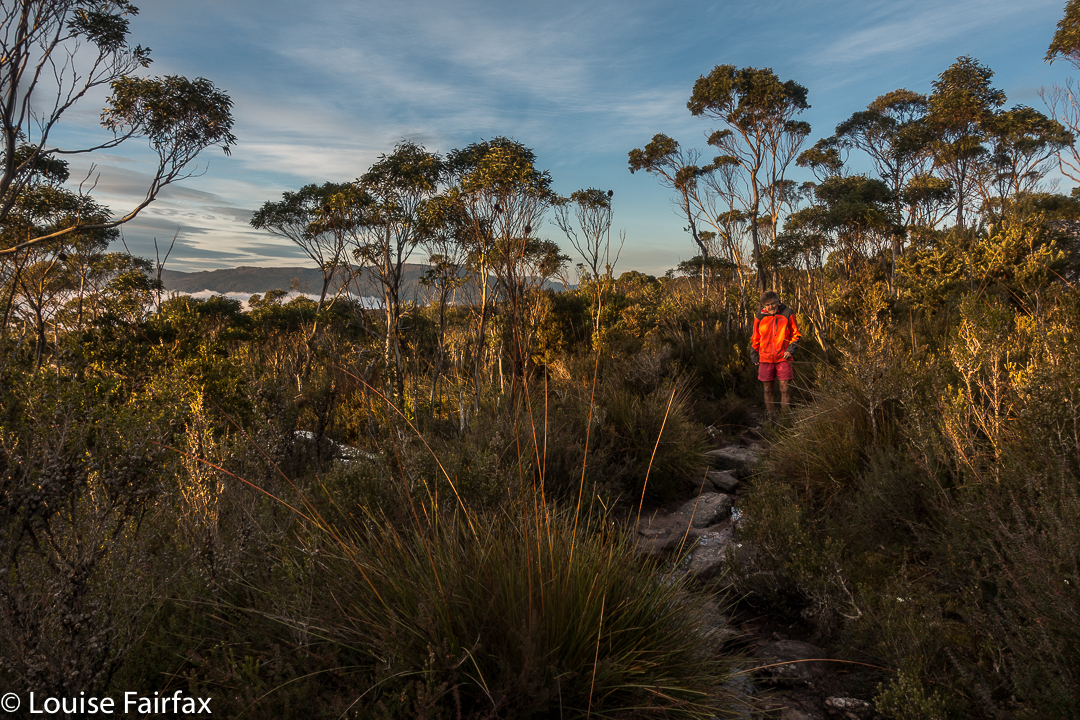
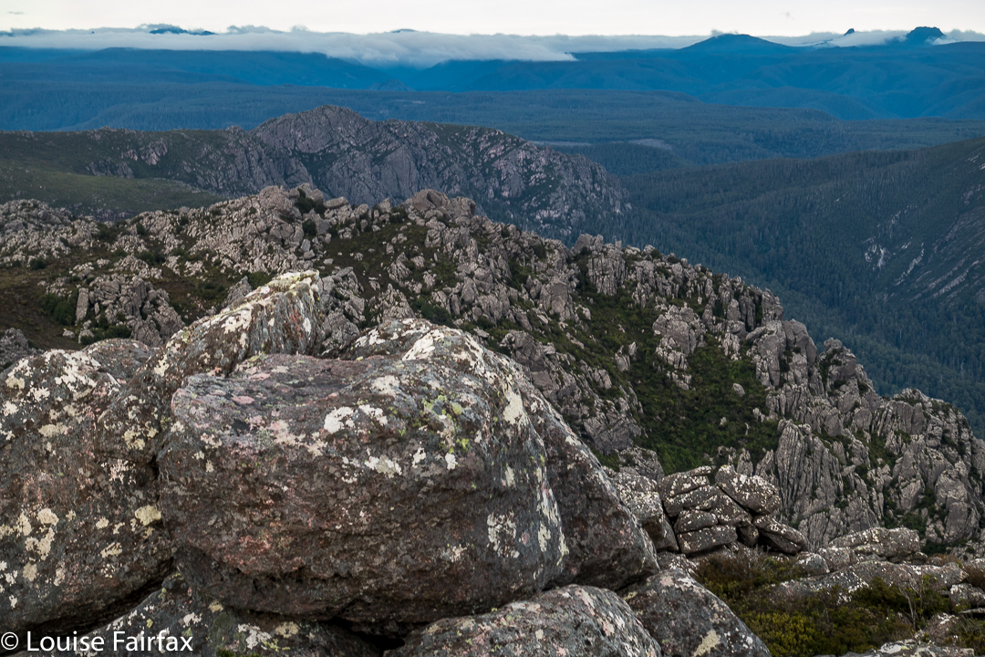
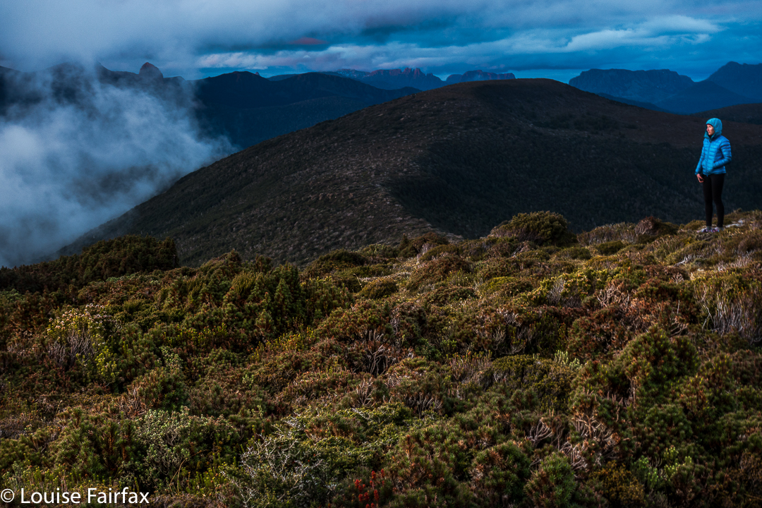
We never doubted that we’d make it, but it was still an enormous relief to crest the final rise that led irrevocably to the summit of Rocky Hill. This was the second time the two of us had climbed Rocky, but was the first time we’d seen its rather elusive view. Clouds seem to enjoy Rocky Hill just as much as we do, and it pleases them to tease would-be view seekers.

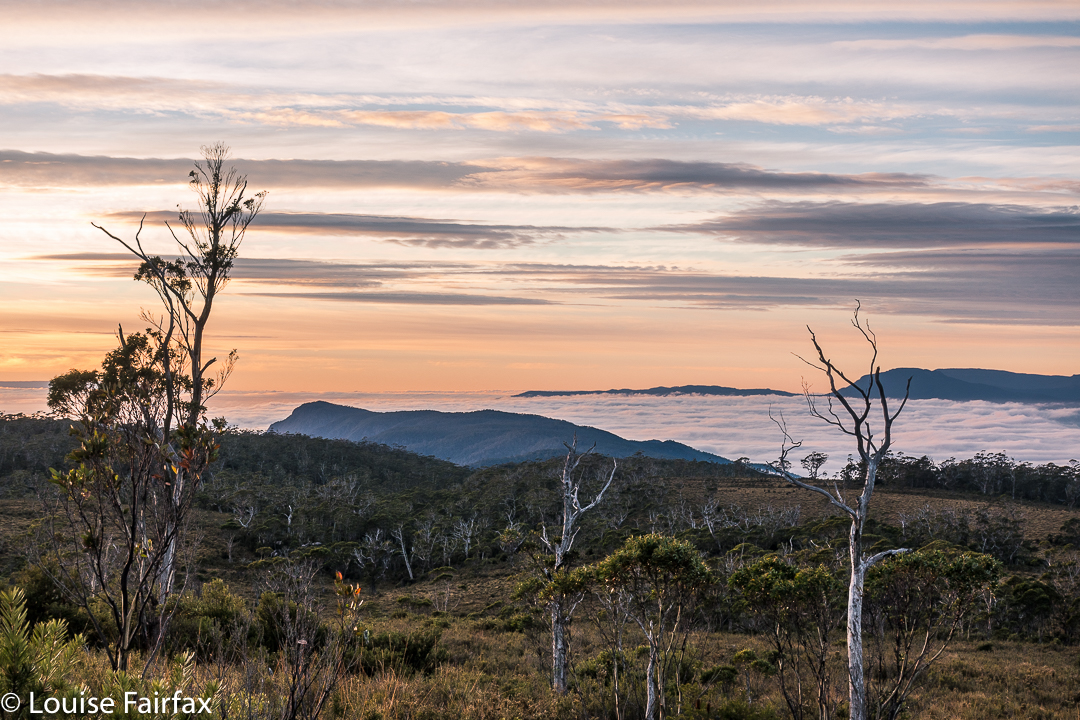
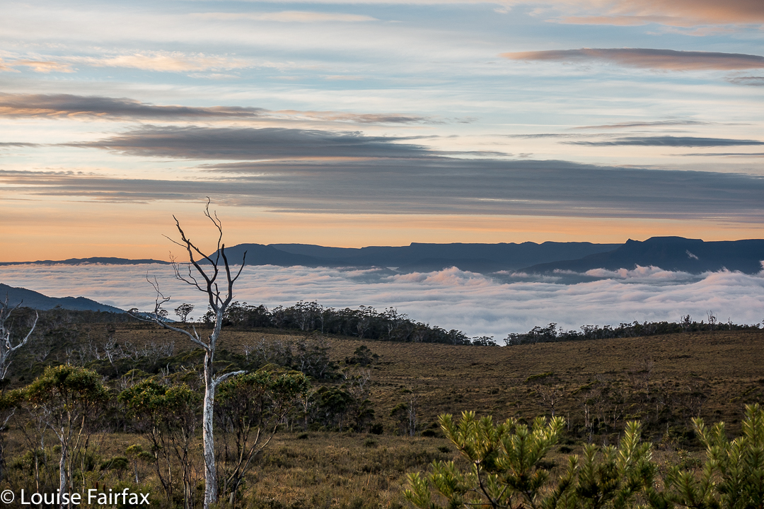
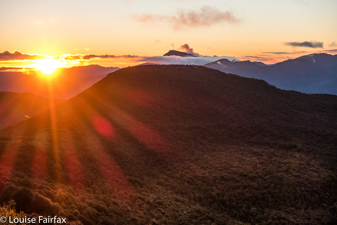
It was so worth the day’s effort to see what we were now seeing: viz, a vast array of magnificent mountain friends, almost all of which we’d climbed, although not all of which we could readily name from that angle. In particular, we adored the different perspective on Eldon Crag and Peak; it was also amazing to see the seemingly ubiquitous Frenchmans Cap, which must be the “most seen” mountain in Tasmania. Way to the north east, we could see as far as Cradle, Barn Bluff and Emmett, as well as Pelion West, Ossa, Thetis, Manfred, Cuvier, Byron, Geryon, Acropolis and Olympus – in fact, the bulk of the mountains that line the famous Overland Track. This was not a view that you just noticed and then departed from. You had to stay for a long time. We bounced around with delight, and stayed all night. Well, in fact, we stayed two nights, so good was the view. The fact that we’d arrived up there by 3 pm meant we certainly had time to progress further along the ridge as far as Mediation Hill, but we were in love with this spot, and we stayed put. We thought we could make it to Pyramid Mountain (our next day’s objective) and back from there, although it was a slight gamble given the short days at this time of year.

It being so delightfully early, we had the luxury of exploring our little demesne for the night, to suss out snow drifts as a source of water and hunt for the best yabby holes. We spent a whole hour just gathering water for the next two days so that if we got back in the dark the following day, we wouldn’t have to go searching for liquid in order to cook, but could collapse straight into our tents. Our fabulous grassy patch was just below the summit, but, unlike the summit, was soft and lush.


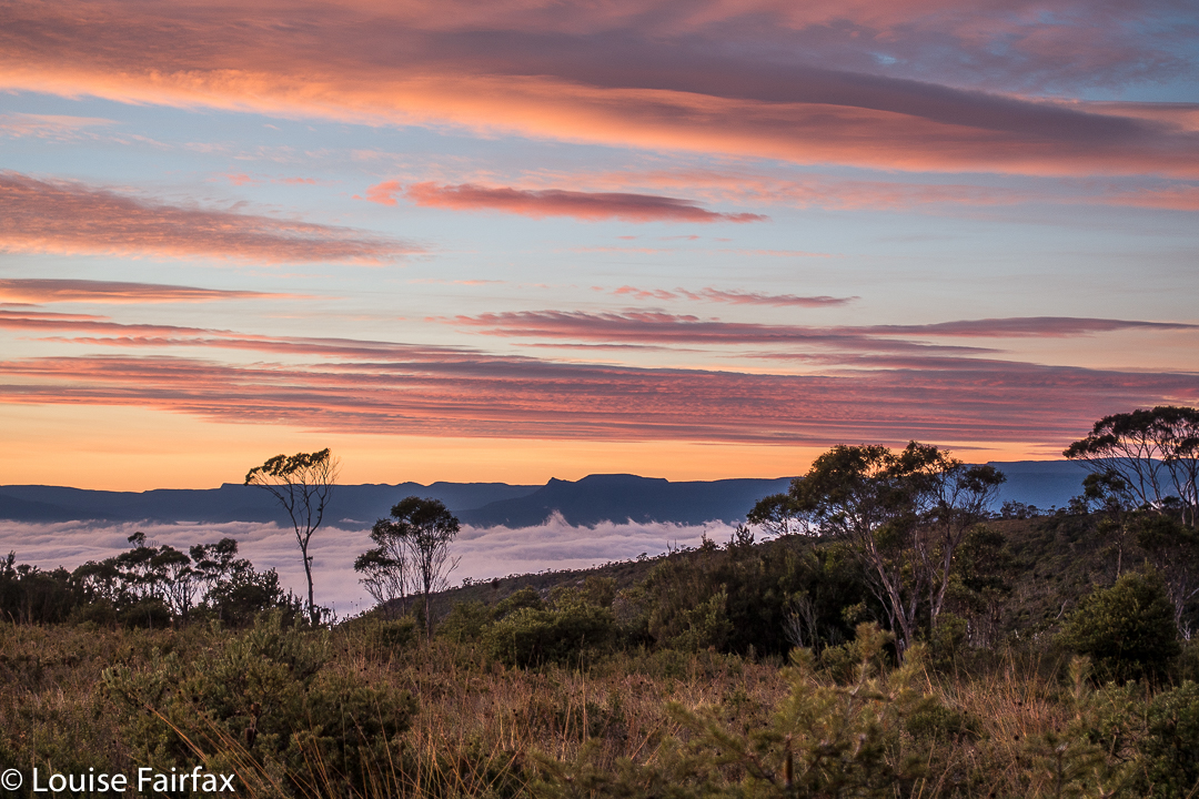
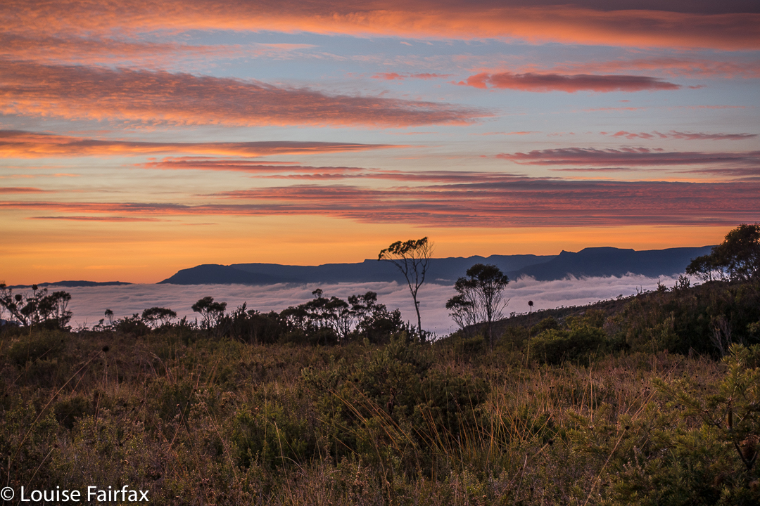
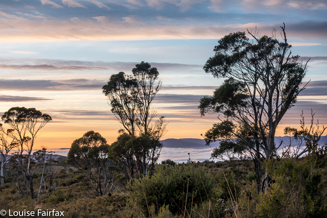
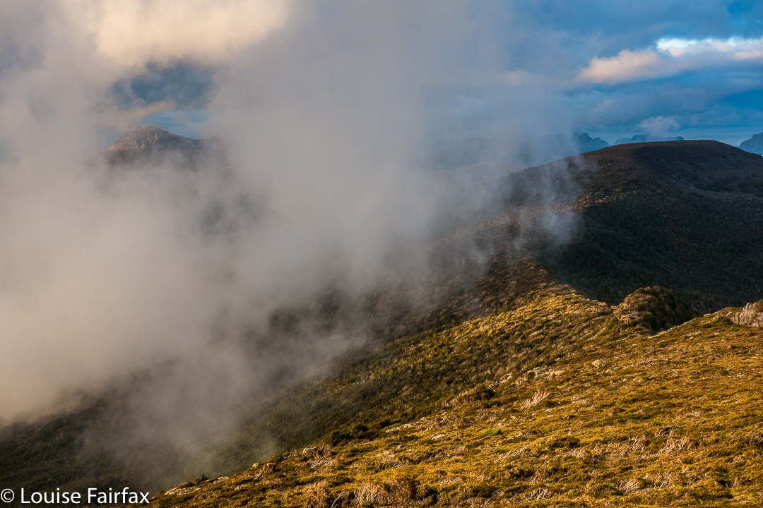
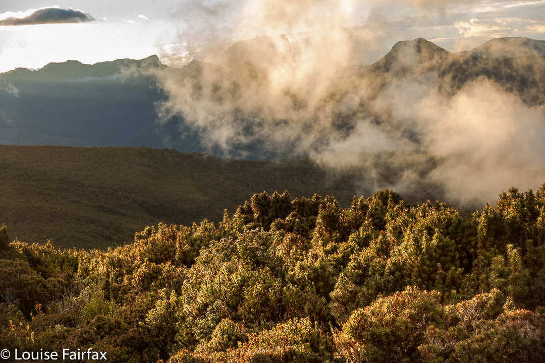
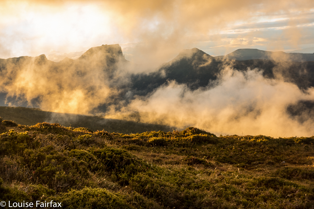
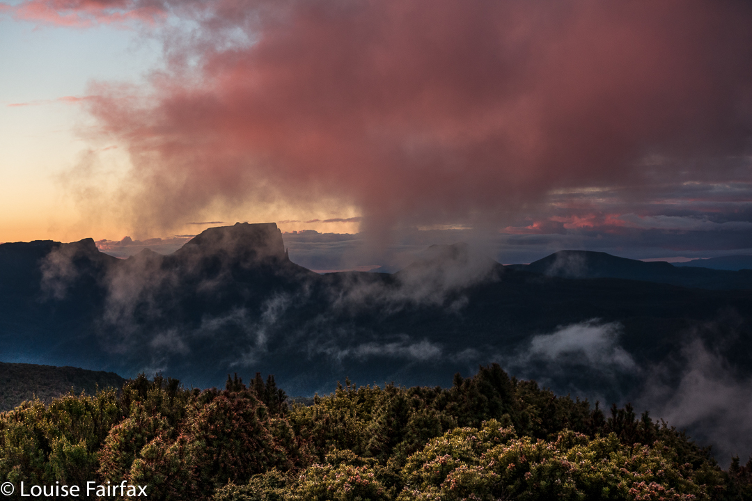
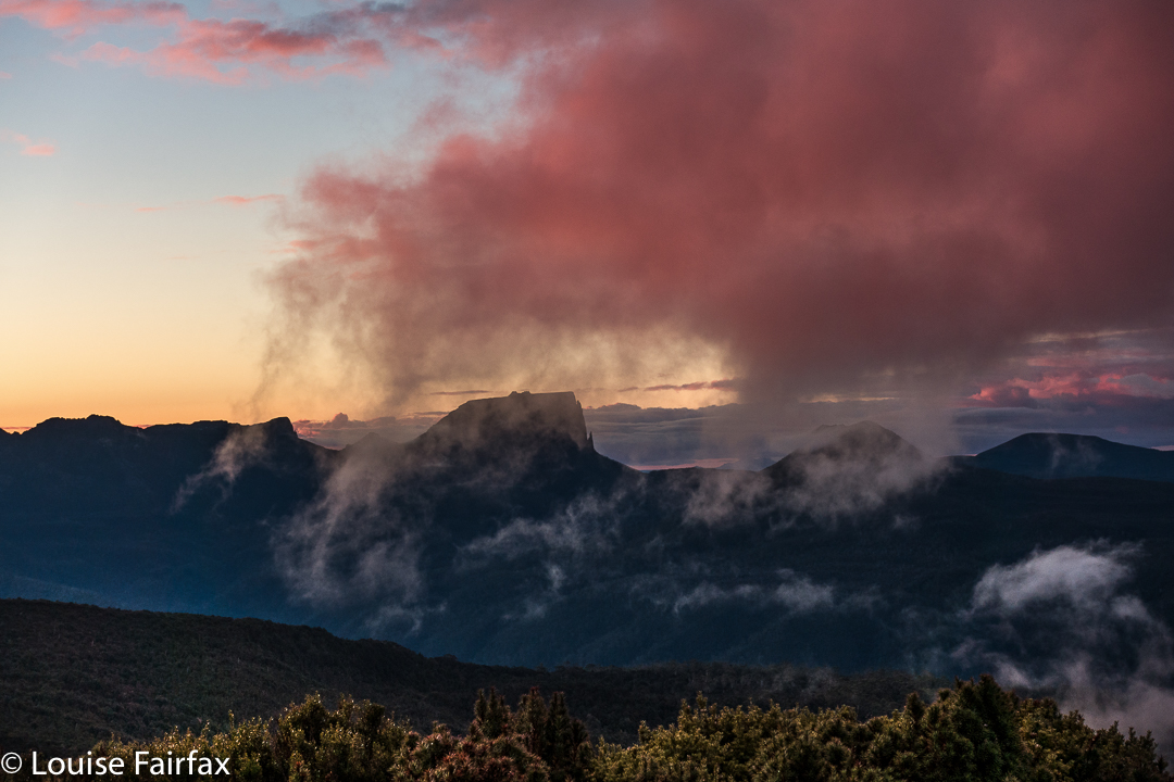
As we slowly pitched and did all the activities associated with turning our chosen bit of mountain real estate into “home”, the clouds rose up in drifts from the valley below, turning more and more golden as the hour advanced. They were soft, wispy clouds that only partly veiled the mountain silhouettes around. Right at the peak of the drama, the ones above turned quite a strong dusky pink; it was a beautiful scene that I will never forget.

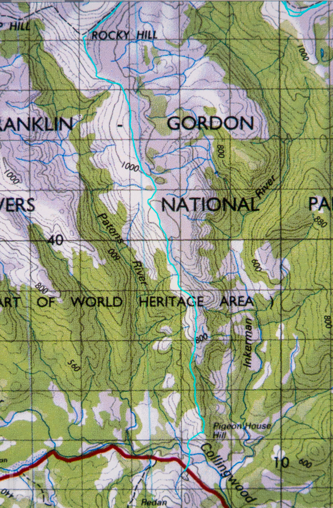
I don’t know why I had been so scared about crossing the Collingwood River at the start of the day. I guess I knew in advance that the temperature would be sub-zero, and that the river would not be summertime-low. It was, in fact, minus one, and upper-thigh high. Brrr. My main fear, of course, was slipping on the mossy rocks due to the force of the water, and falling in and getting hypothermic. I very sweetly let Angela go first to give me courage. It didn’t look easy as I watched her steadying herself, both arms out for balance. I grabbed a stick to help, took a huge gulp, and followed. I went in deeper than she did, mainly to keep on rocks that didn’t look as slippery. I made it, but my bottom half was frozen. Off we set up the very steep Pigeon House Hill. Surely that climb would warm us up. It warmed up everything but our feet; they took a little longer. By lunchtime they’d thawed, but, of course, they remained wet for all three days.

We found some random tapes on Pigeon House. We couldn’t work out where the person who put them there was going, but fortunately there weren’t too many. They took one onto the thickest part of the ridge, whereas the pad of least resistance, and the old route, skirts around the top at that early stage. We backtracked to find old cuts and used the old line instead. It was much easier going. If you are new to bushwalking, please don’t interpret that as “Oh goody, there’s a track up there. Let’s go.” Unfortunately, what I am referring to is small traces of where people have gone on some distant past occasion; you use broken or cut branches or other signs of humans passing (disturbed bark) to pick your line, and you have to have a very good idea of where you want to be going in order to gain from these signs. Please only venture into this untracked territory if you know what you’re doing and have a lot of experience. It is not for novices, or even for intermediate-standard walkers.

Once we gained the ridge past that early topping out, the going was easy for a little while, until our second “top out”, about an hour later, when we emerged from the beautiful forest onto a scrubby hill. From then on, for what seemed a long time, we had to lift our legs very high in a goose-step and at times force our way through higher patches of scrub: nothing too bad, but it does sap your energy anyway.

We concentrated on choosing a good line, and worked hard through the scrubby bits, and eventually we got there. If you don’t know Rocky Hill, don’t be fooled by its deceptive name. It is not a hill at all. It is an Abel, which means it is higher than 1100 ms (1194 to be exact), with a significant drop all around. Already snow drifts were building up with winter on the way. Some tarns were iced over. And the views, as said, were magic.

Next day, we’d climb Pyramid Mountain if all went well (and it did. See natureloverswalks.com/pyramid-mountain/). It was a big ask, so close to winter with the shortened days, but we’d give it a go. Just in case we weren’t quite as successful as we hoped, we packed bivvy bags, torches and a warm jacket beyond the many bundles of clothes we were already wearing. I thought that if we were stuck out overnight with wet gear, a bivvy and extra jacket would not be enough to save me, but I took them anyway. As it transpired, we were back well before our curfew, and had time to play on, and photograph, the rocks on the ridge with our tents in sight, as the mist once more rose up the valley.
Holwell Falls 2017 May


Google tells me that Holwell Forest Reserve, in which both Holwell Falls and Holwell Gorge Falls lie, is thirty-two minutes from my house. It is therefore pretty reprehensible that I had never even heard of them before a local posted an image on Instagram that alerted me to their presence. It was too late, however, as the track had been closed in response to the flooding of two winters ago. Now it seems that part of the track is now opened – albeit with dire warnings that you need to be an experienced bushwalker to venture there. That’s fine. I’m very experienced. I wondered how bad it really was.


About two minutes into the thirty-two promised me, light rain began. Ten minutes later, it was so torrential that I couldn’t see at all to drive. The windscreen wipers flapped furiously, but to no avail. Nonetheless, I continued on my merry way, heading through Exeter and Winkleigh. There, I missed seeing the road to the left, and, hey, who can resist driving down a road called Flowery Gully Road? Not me. I followed it along, but it wasn’t doing what I thought it should, so decided to be logical and consult the maps app. Whoops. Now I was near Beaconsfield. Oh well. I found a road that linked this one to Holwell Road to the west, and attacked from the north. This ended up being a must fortuitous error. The northern end was way prettier than its southern beginnings. (But for efficiency, don’t head for Flower Gully. Turn left).


I turned in at the little blue sign, parked where I should, shouldered my pack with all my gear, and set out in what was now mere drizzle. I took an umbrella to shield the lens. You don’t often find me bushwalking with a big umbrella.


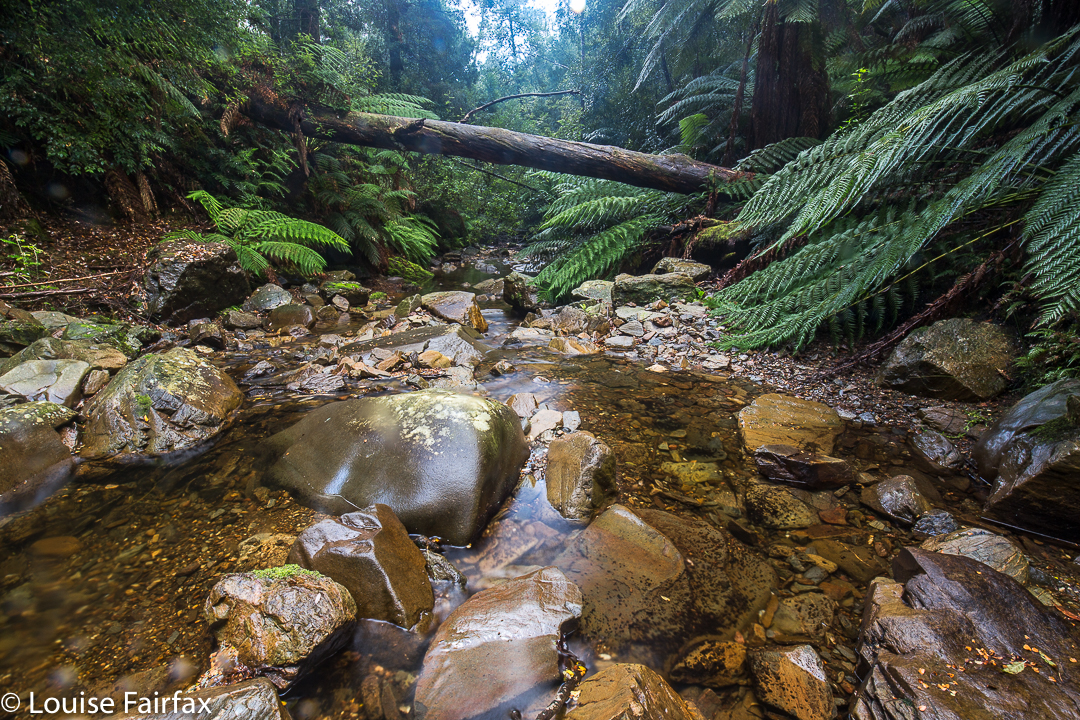
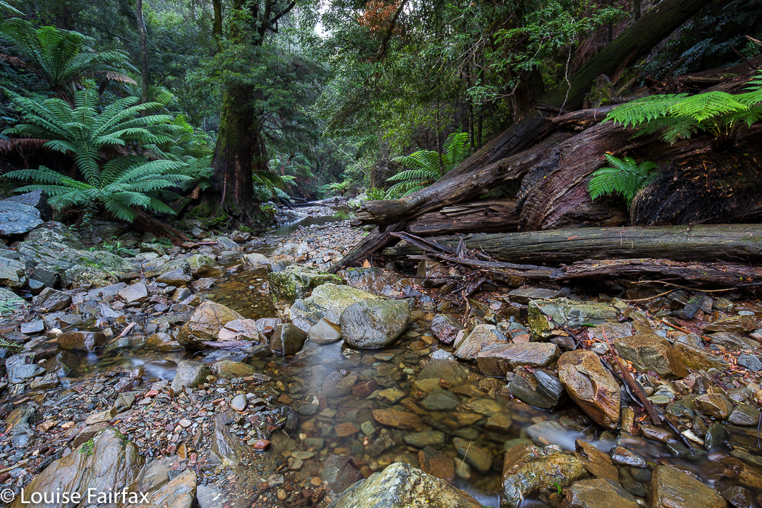
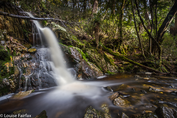
I couldn’t believe I have lived near this beautiful place for so long whilst remaining ignorant of it. The water was so very clear that even on this late autumn day, it begged me to paddle. Children must surely love playing here in summer. There were rock pools in abundance. The sign had said thirty minutes for the round trip, and I suppose that’s accurate if you don’t take too many photos. However, I was mesmerised by what I saw, and had all my gear for long-exposure shots, so way exceeded the suggested time. I think I was there about an hour and a half.


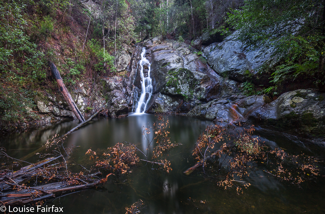
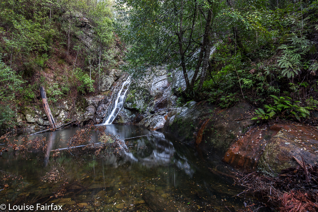
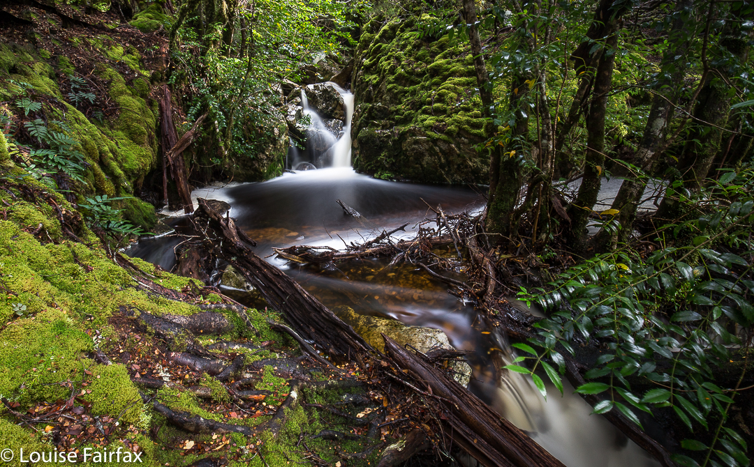
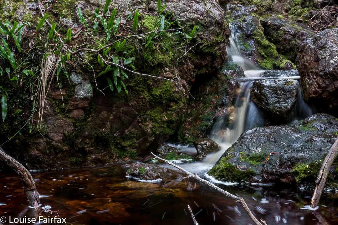
I had no idea what the state of play on the track was, of whether it had been fully or half repaired, or not touched at all. On the way to the first falls, it certainly felt repaired and in good condition. At the falls, as you can see from my photos, there were a few tree casualties lying in the water, and their leaves looked rather new. A bombed viewing platform had its skeleton remaining in place, but not much else. It didn’t look old. Maybe we have had even more damage. A huge eucalypt lay across the path; it was too big and slippery for me to get around it with a bear hug. You could, with a mild possibility of slipping backwards, get around if you went down and passed it at creek level. However, my watch now said I didn’t have enough light left for playing, so left that exploratory exercise for another day. Right now, I wanted a peep at the southern end. Round I drove.


The southern end wasn’t nearly as welcoming as the northern. The track hadn’t been cleared at all and wasn’t manifestly visible. I think they’re hoping it will grow over and disappear. Again, signs warned that experience was needed to step into this zone. There were certainly huge drop-offs to my right as I climbed the track, but nothing to worry about if you’re not being silly. After about five minutes, the track forked. At first I took the left fork and climbed up high, away from the river. I decided this wasn’t going to lead to any waterfall photos in the next few minutes, so returned and took the other fork, to arrive at the top of a waterfall. By now it was really getting dark, so I had to be content with a peep of the top for this time. It wasn’t worth photographing. I’ll be back – to see fungi, even if not the falls!

Cradle Mountain 2017 autumn

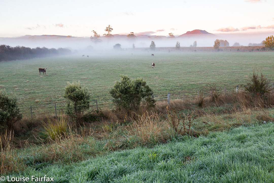
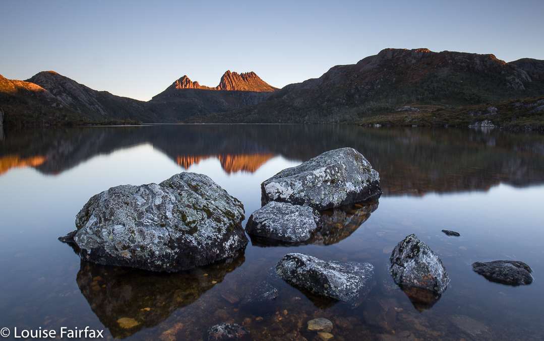
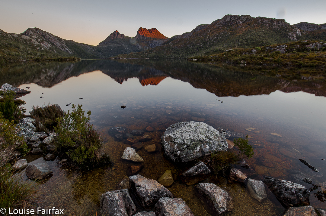
Quamby Bluff in the early light. I so love a dawn start to my jaunts. 
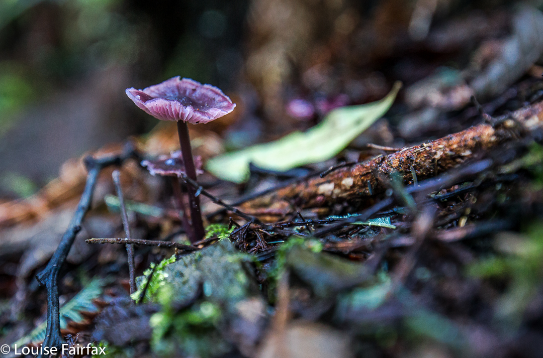
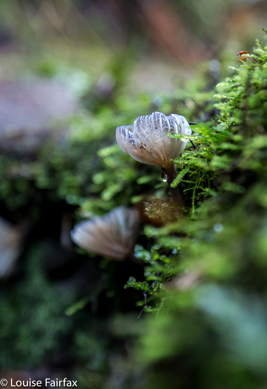
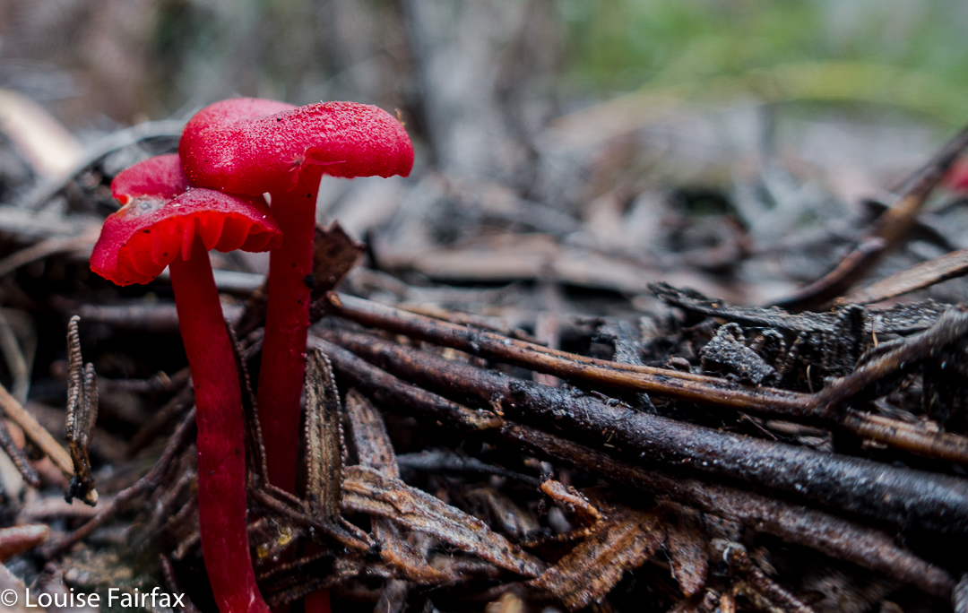
Whilst everyone else seemed to be dashing to Cradle Mountain for the fagus season, my interest lay in the fungi that usually appear at this time of the year, and in the waterfalls that should be flowing after our recent rains. I was impatient to get there and see what I could see.


I had a wonderful day – by myself, so I had head space, and yet not by any means alone, as everywhere I went I met new lovely people who wanted to chat to me, so had a delightfully companionable day as well. It was a perfect mix of solitude and sociability. Many, many of these people helped me in one way or another: one cleaned my car camera (for reversing) for me, one helped me adjust the stiff legs of my new tripod and taught me how to use it as a monopod as well. When I lost my black gloves at late dusk, people assisted in trying to locate them for me. On every trail I walked, I met people who wanted to discuss ‘fungi success’ on other trails, or camera gear, or to relate stories to me of this or that walk they’d done elsewhere. The mountains were full of nature addicts. It was so lovely to be helped rather than be the eternal helper, which my role as carer of my ill husband dictates. With every breath the air felt so fresh and clean: two lungfuls for the price of one, it seemed.
What follows is more of a photo essay than a verbal one. It is the story of my love of light, of nature, and of this beautiful, peaceful spot that I am privileged to call home.


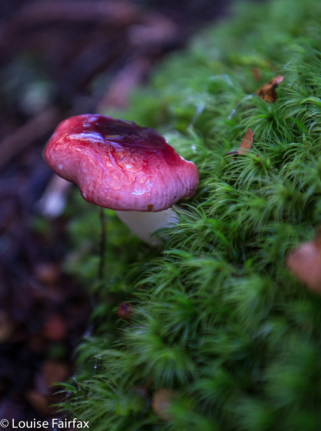
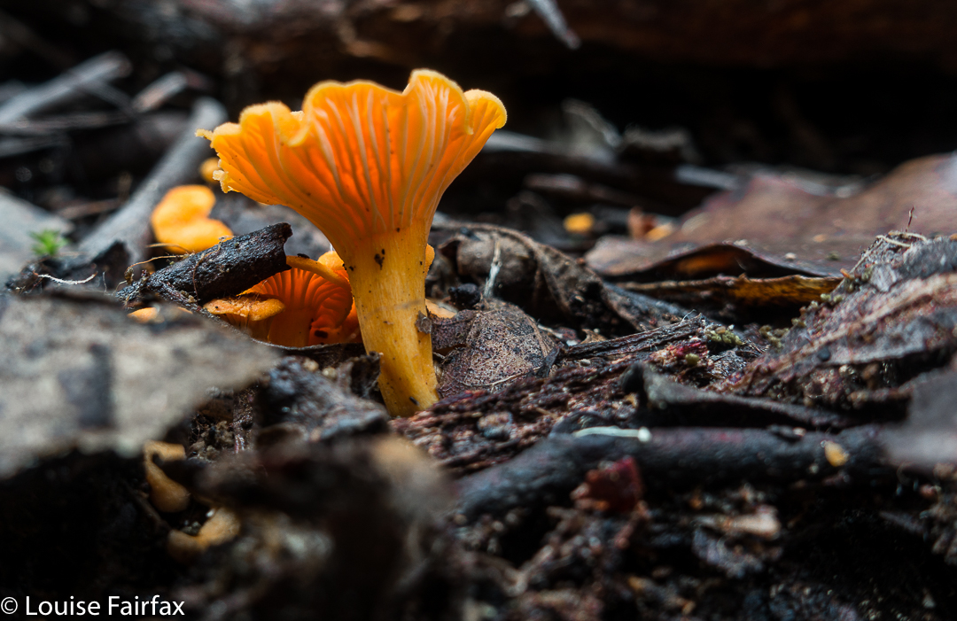
Russula persanguinea 


And now we come to sunset. My battery is running dangerously low. I get into place, reckoning I’ll shoot until it runs out and then head for home. Shortly afterwards, a seeming crowd of photographers appeared. It got quite crowded, with tripod legs being intertwined with mine (but not spoiling my image). I was sure glad I’d arrived early.


I would have loved to stay at the party and shoot the stars. It would have been a freezing party, but jovial, I’m sure. Maybe next time I’ll be a little more careful when I pack my bag!!!

Roland 2017 Apr

Mt Roland Apr 2017


I have wanted to sleep on Mt Roland for a very long time. I think the provenance of the desire dates back to seeing a full moon rising from just behind the mount as the sun was setting to our rear as we gazed. I decided sunset up there would be wonderful. That was many years ago, and somehow the chance has never quite come about.

However, just as I was about to leave the house to drive south and pick up my friend to climb Aldebaran together, I received an email saying he couldn’t come due to an emergency. Meanwhile, I had not been enjoying the turn the weather maps had been taking since we firmed up the arrangement, so now that I wasn’t expected to be there, I decided I didn’t want to drive all that way for a repetition of last weekend’s weather. BUT, there was the fact of my packed rucksack and all my emotions that were geared for a mountain climb. I couldn’t possibly do nothing. On the spur of the moment, I suggested to my husband that we at last try sleeping on Roland, despite the rather abysmal forecast. This one could be a recce, a little practice for the real one. I wouldn’t even take my full-frame camera and tripod for this trip, which was good, as I would be carrying the lion’s share of gear for us.

He said he’d like that, so I spent about ten minutes throwing a few items of clothing into his pack, and off we set. My own rucksack was ready for a three-day trip, so I figured I had enough food and gas for two. Not a great deal of thought went into this packing, but I did double check that I’d tossed in enough warm garments for him.

We didn’t get started until 4.15, which is rather late even for normal people. For a man with Parkinson’s disease, this is way too late for this mountain at this time of year, but we weren’t going to back out of this now. We’d be right, I thought optimistically. After 18 minutes, we reached a junction in the track that said that a fit walker could get to the summit in three hours from that point. Oh. It was now after 4.30, and we had a mere one hour of good light. Well, these signs always overestimate the time. On we pressed, hoping the information was very wrong indeed.

After 67 minutes from the car, we were at O’Neills Creek, and stopped for a quick drink. I looked at the map to see what lay ahead for the immediate future. Hm. Many, many contours lay ahead, although we seemed to have done most of the distance. I looked at the track on the other side of the creek and noted that I could see nothing at all. The forest was so dense there, and the clouds so thick above us, and the hour so very late indeed that there was zero visibility. However, I don’t come into the wilderness to camp three-quarters of the way up a mountain in a claustrophobic little gully. I didn’t really like this spot. I wanted the wide open spaces of the top. On we pressed, now in complete darkness, although it was only 5.25.

Miraculously, given Bruce’s illness, we arrived up the top safe and sound, but it was by now very dark indeed, and not just in the deep forest. However, I could feel the icy air circling around me, and it was exhilarating. This thin air is what I love, even when I can’t see a thing. I can feel the infinite space that exists on the tops. I was happy. There’s not much choice arriving like this in the dark. I had no idea how I was going to find a spot to pitch. We were carrying enough water to do dinner and breakfast (which was absurd, as water was everywhere, but at least collecting it was not one of my duties that night), so were not tied to a water source.

I pitched for us and cooked in the vestibule, and we ate our rehydrated dehydrated food in the warmth of my little Hilleberg, agreeing that this was the life. Howling wind now provided background noise to our conversation. It could be heard all night.

Sunrise next day was far better than one could ever have hoped for, especially given the thick clouds of the previous evening. We enjoyed the spectacle, and then breakfasted before heading for the actual summit, which was very windy indeed, but bearable. That said, it was rather an anticlimax after the start to the day. I am not enamoured of scenery that is almost a monochromatic, dull blue, which is what you get when the sun has disappeared once more behind clouds. On the descent, there were streams and fungi and fabulous conglomerate boulders with ferns in abundance to keep us occupied as we walked the very well-graded track. Lunch at the Raspberry Farm was, as ever, delicious.

Crater Falls 2017 Apr

Crater Falls 2017 Apr


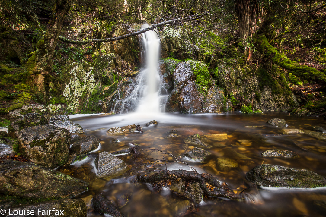
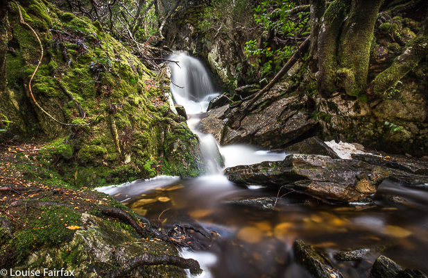
I needed some breathing space, some time out from being stuck at home as a carer., some solitude to regain some sanity. Only the wilderness could do that for me. off I set. I had never photographed Crater Falls before. I had just rushed past, giving it a nod in acknowledgement of its beauty, but always being obliged by the others I was with not to linger long enough to do it photographic justice, which takes rather a long while, actually. I had a lovely day rectifying that, and searching for fungi, which were playing hard to get, despite its being autumn. Groups of fagus hunters went merrily by. There was a great mood in the forest that day.