Lonely Lake, Meander Falls 2017 Feb


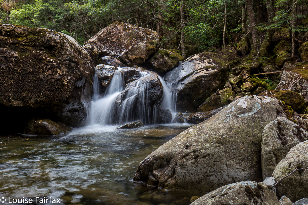
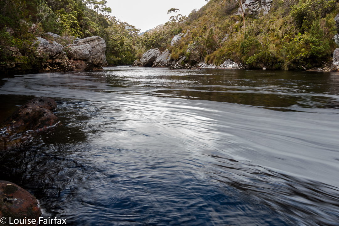
Meander River
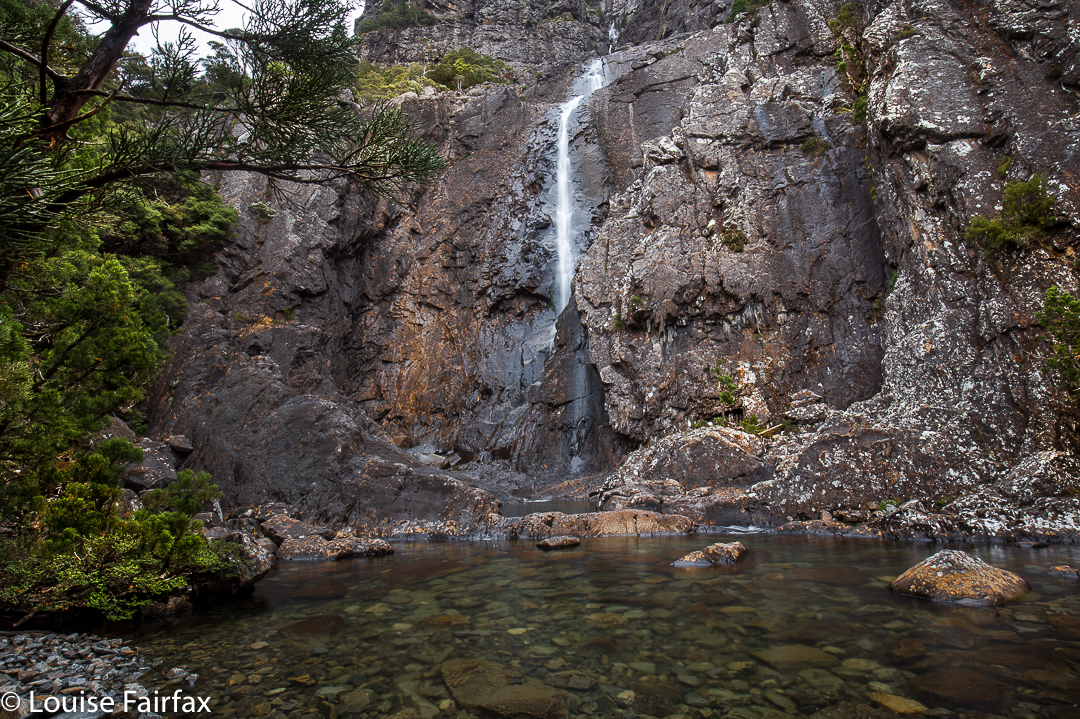
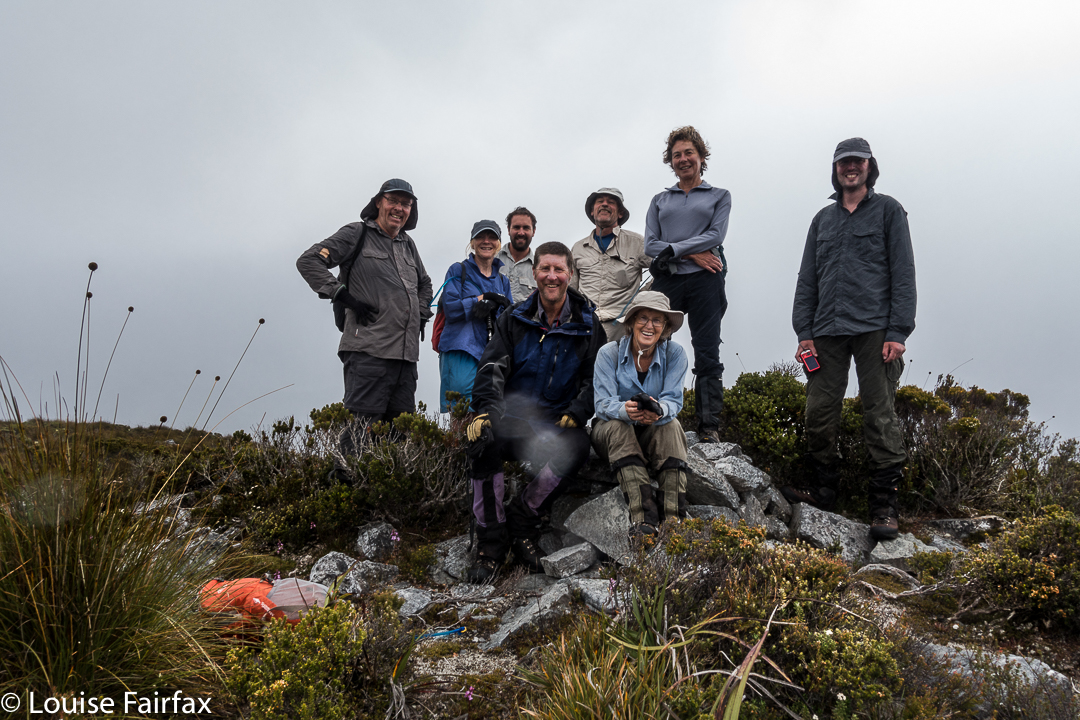
I was only half paying attention at the club meeting (wickedly multitasking during the walk previews) when I heard Rolfe mention “lovely little waterfalls” and a Lake up on the plateau above Meander Falls. Now, Rolfe is a classy photographer, and we share similar tastes in what is beautiful, so I checked with him that the walk would be “Bruceable” (it was), and put our names on the list, curious about these extra falls and the lake on top.


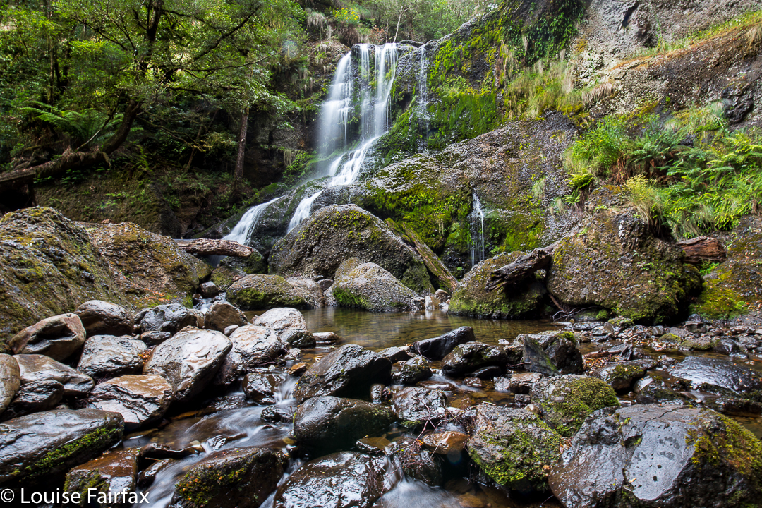
First time I’ve seen these falls (Meander Falls) in summer.
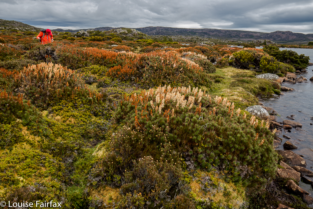
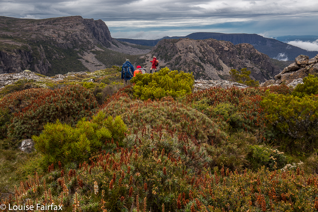
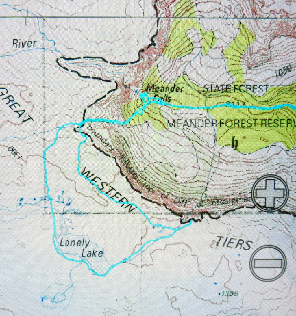
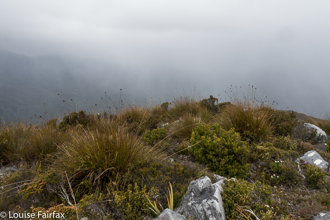
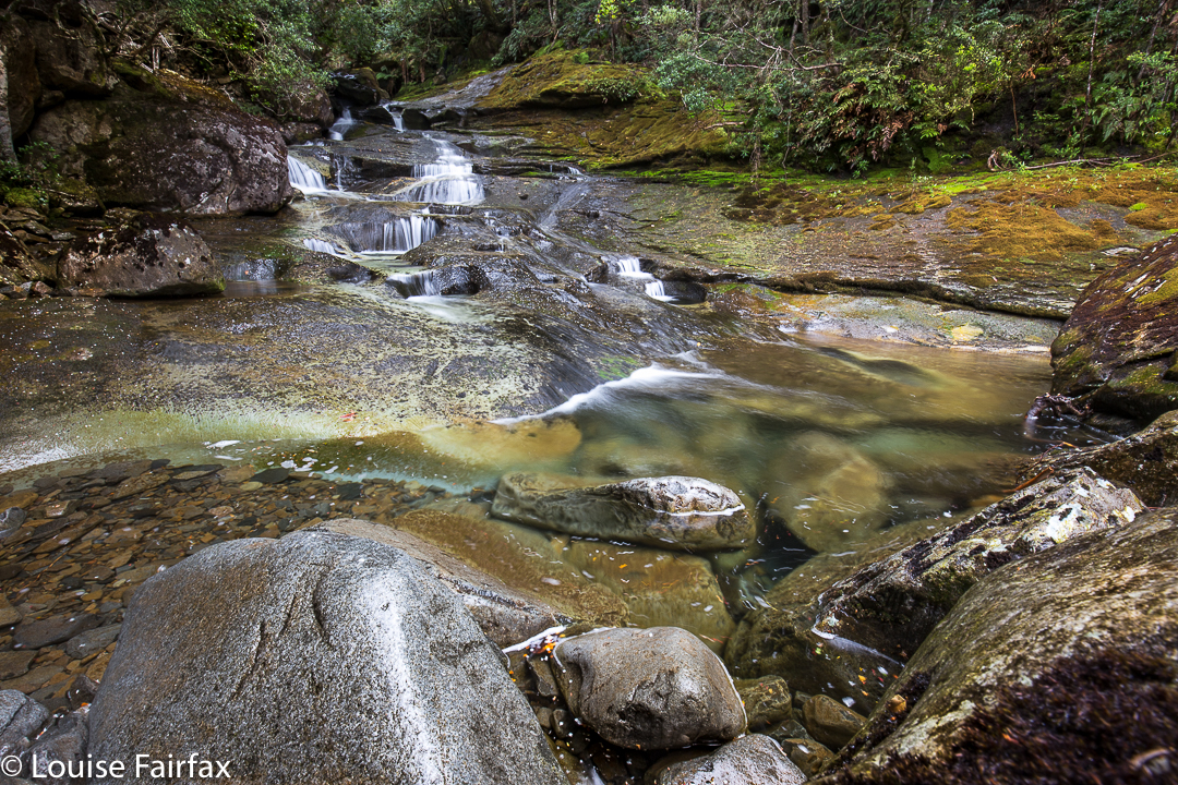
I have already been to the Meander Falls, but that was in winter, so it was good to see the forest and beautiful river in aestival guise. Last time I was there we thought of going further up onto the plateau, but it was snowing, and we hadn’t really left enough time. This time it was planned for, so we followed the cairned route (hard to find at first, but you pick up the cairns easily enough if on track – see route below) upwards, eventually climbing the scree slope that leads to the area up top that is covered in beautiful cushion plants and scoparia that had just finished flowering.


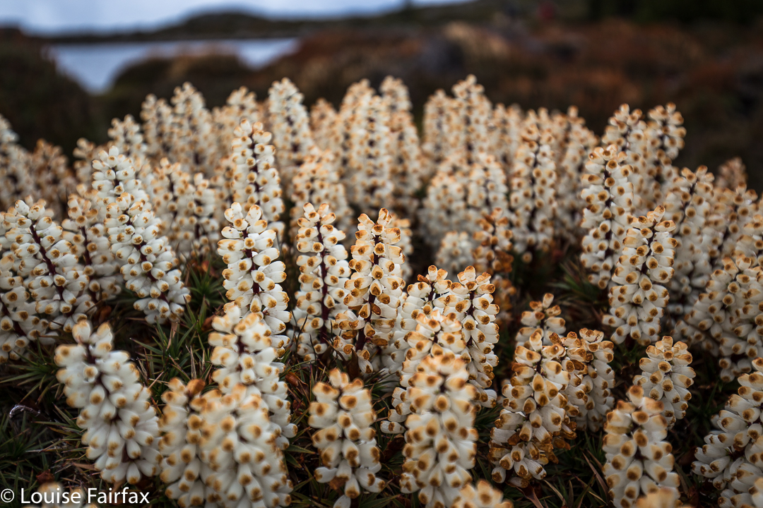
The edge of Lonely Lake just visible. Scoparia in late bloom everywhere
The escarpment was well worth visiting before descending. I loved this loop and want to go back in flourishing scoparia season next year to camp there.


See also http://www.natureloverswalks.com/meander-falls/ for pictures of the winter scene.

Champagne Falls, Bridal Veil Falls and No Name Falls 2017 Feb

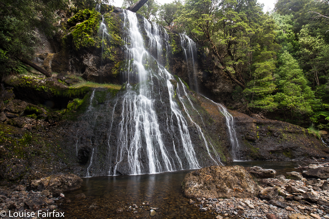
Champagne Falls. First on the circuit.
It seemed to me a travesty worth rectifying, that I have lived here in Launceston for as long as I have, yet have never visited the Champagne, Bridal Veil or No Name Falls, all of which are accessed from the rustic Lemonthyme Lodge. What makes the matter worse, is that I have stayed at Lemonthyme quite often (they used to sponsor the Triple Tops Race, offering a holiday there as the female prize), and yet we stayed there and did things in the Cradle area, using it as a base rather than exploring its immediate environs. In those days, I was a total mountain freak, and hadn’t quite discovered the joys of a beautiful waterfall. I always wanted to be up things.


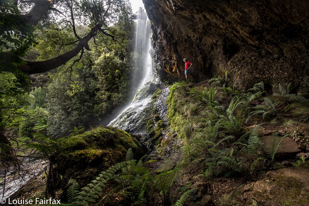
Bridal Veil Falls.
Meanwhile, I saw some photos of these falls taken at the end of January, so decided we should go and explore them while the water was still flowing. It seemed like a good-lengthed excursion for my husband (who has Parkinson’s disease), although, to be honest, I wasn’t quite sure how long it would take.  Basically, the circuit that encompassed the two falls pictured here took us just under one hour and a quarter walking time, to which, of course, you need to add time for photography and gazing.


Bridal Veil Falls.
We got back to the car, had a snack, and then set out for the No Name, very-little-information Falls. We came to a broken bridge, and had a spot of trouble finding the continuation of the track on the other side (there is quite a bit of flood damage in this area). However, we just didn’t look carefully enough, as, once found, it seemed terribly obvious. On we continued for a further seventeen minutes until the falls. There was a sign leading off to the right to make a circuit, but the level of desuetude of the track was such that I didn’t trust markers to continue, so we returned the way we’d come, which was longer and prettier, I suspected from a brief map stare. This route took us half an hour in each direction. There are no photos here, as there is a good reason why no one has bothered to name these falls in a more interesting manner. I guess they’re a “visit only in very wet weather” kind of falls. The trickle coming down the conglomerate slope didn’t make for thrilling photography. I took a record shot, but left it at that – unless you, dear readers, absolutely insist I publish it, just so you can see what you’re missing.
Now it was time to drive to our favourite Raspberry Farm for lunch, the best part of which was a luscious strawberry cream tart with fresh fruit glaze on top. Yum. I like walks to have a gastronomic reward.

Norold 2017 Jan

Mt Norold. There in my inbox was an email about a trip to Mt Norold. Mt What??? Never heard of it. Curious, I read further: plane to Melaleuca, boat up the inlet and across Bathurst Harbour, where I had never been, and then, the opportunity to explore a truly remote area of this island state. Yes please. I signed up.
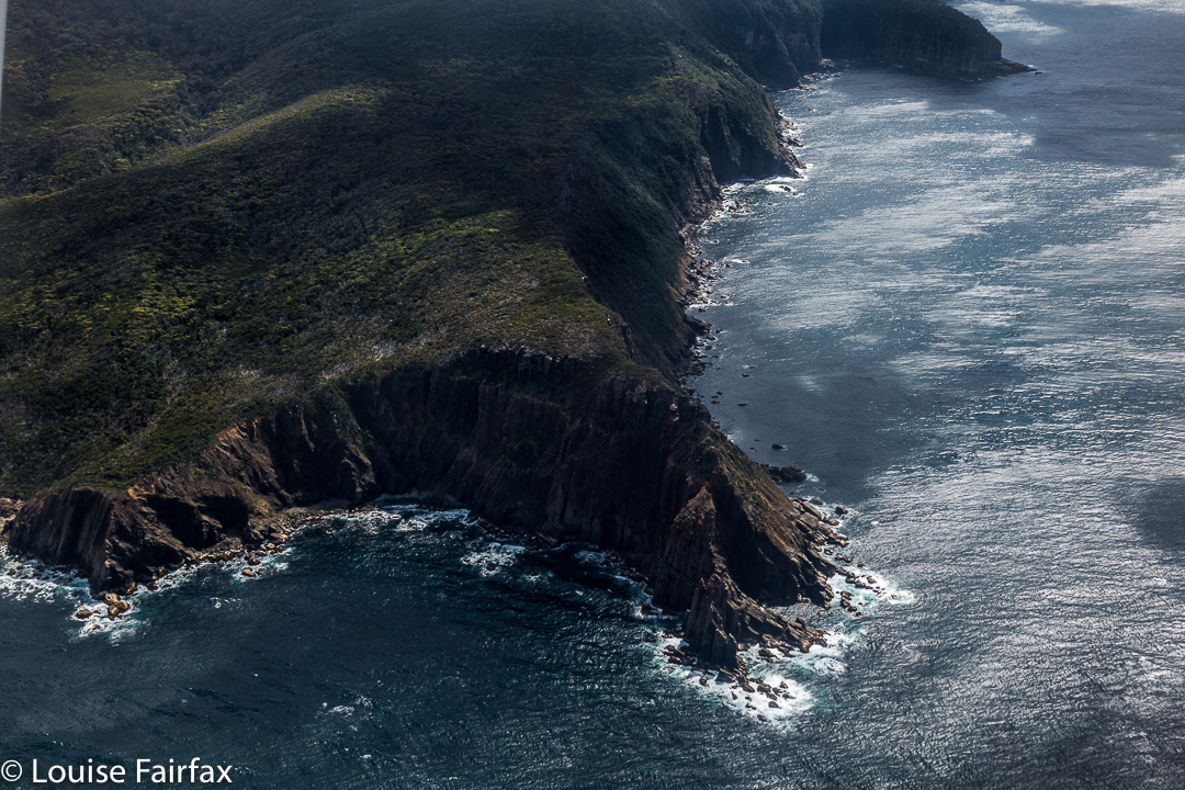

Flight in
Day 1. The boat trip was very bouncy and rather wet; visibility was poor, and conditions were cool enough for me to wear both my padded and Goretex jackets. The wind was building, but, hey, we were underway, and I was happy. Progress upwards was easy, through low buttongrass, but we made slow advancement as a group, and so had failed to make our intended destination when a halt was called to the day. At this stage, we were only about 320ms above sea level, on a ridge which would, on the morrow, lead us to the top of Mt Wilson. We had nine-day packs, and some were finding the going to be tough. Three twenty metres asl is still high enough to offer fine views (if the clouds cleared); this was a pretty nice spot to stay in for the night, and offered us enough shelter from the quite strong wind. I sucked water out of a yabby hole and a small soak to fill my container, and settled down to cook my freeze-dried meal.
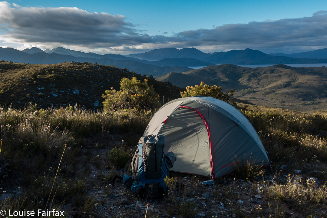

Day 2. The scenery remained lovely, with easy, ridgetop walking, although the outlines of surrounding mountains were murky in the slight haze. The summit of Mt Wilson was slow in the taking, and I could see we would not make our intended destination of Lake Eucryphia. (I later discovered this was no sad loss – the sides were steep and bosky). Mt Norold looked very imposing, and a long way off from the summit of Wilson.
Thus, when we were in lower-lying ground between Wilson and our goal,  our leader decided it would be best if we dropped our packs and climbed Norold without them, and return later to pitch tents somewhere in that area.
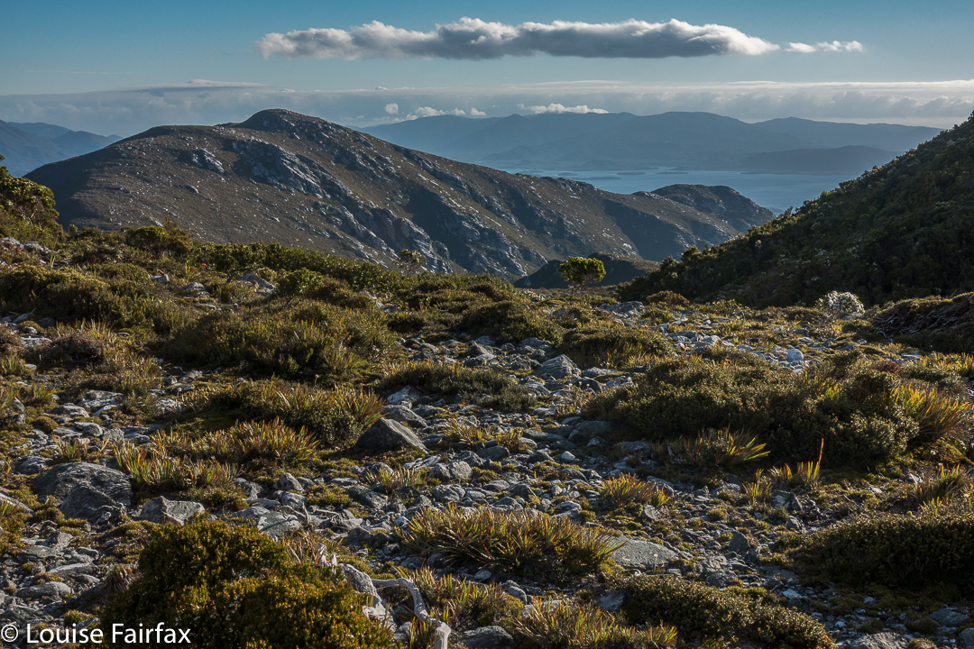

Oh the joy of climbing without a heavy pack. It took no time at all to summit Norold unburdened. On top, two guys said they’d like to explore more mountains to the north, and have a look at the lake we were no longer camping at. Who would like to come too? Only Louise, it seemed. Off we set while the others returned to collect their packs and set up home for the night. It was now very, very windy.
With a walk across the ridgeline to our goal that was only decked in ankle-high vegetation, this excursion was sheer pleasure. We climbed an unnamed mountain that we christened Mount Unloved. I don’t know why it is thus uncared for, as it offered grandstand views of the Western and Eastern Arthurs, and a whole lot more – the best vista of the whole trip – and is far superior to, say, Richea Peak. The wind even abated momentarily while we were there so we could enjoy sitting and staring at our takings.
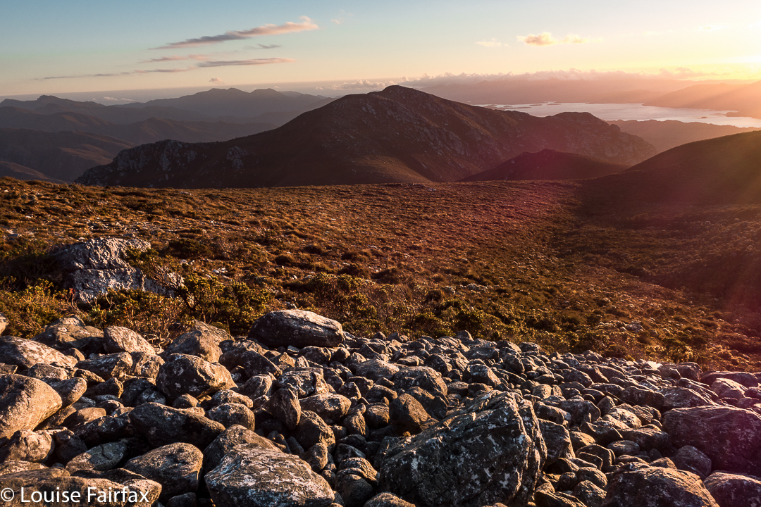

That night, we got our only sunset of the trip. Next morning, the only sunrise. Several of us sat huddled in the freezing wind, armed with several coats, waiting for the sun to go down. The wind was so biting that only two of us remained for the pinking of the sky. Next day, I was a solo observer of sunrise.
Day 3. The hour surrounding sunrise on this day was one of my favourite hours in the whole trip. I’ll let the photos do the talking:
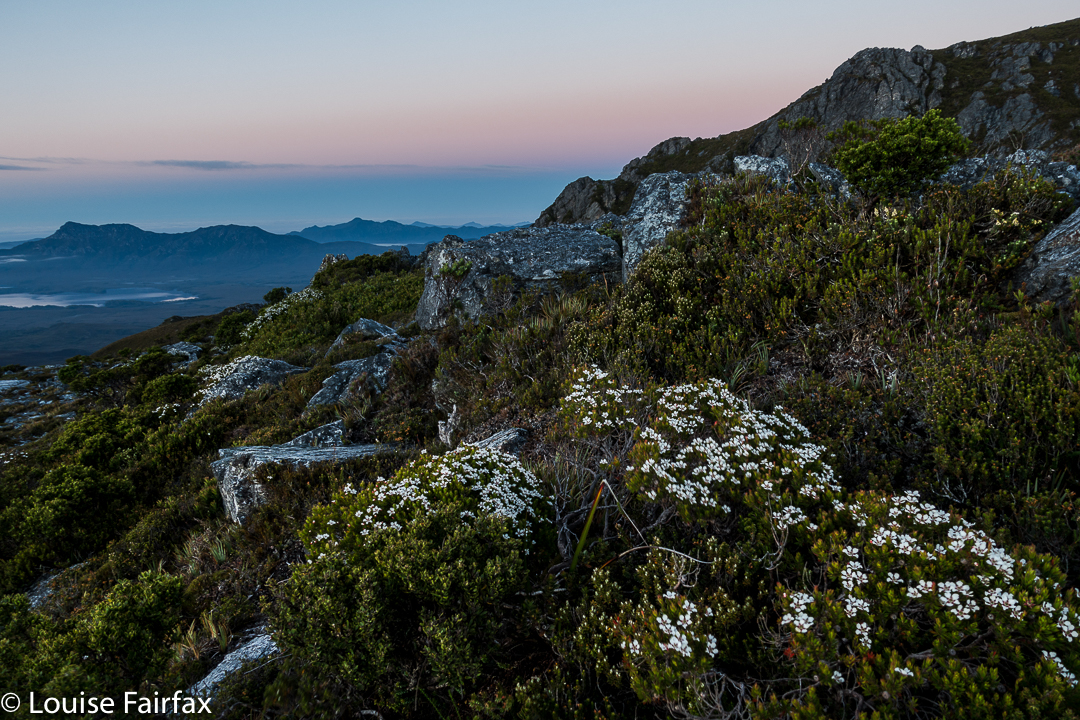
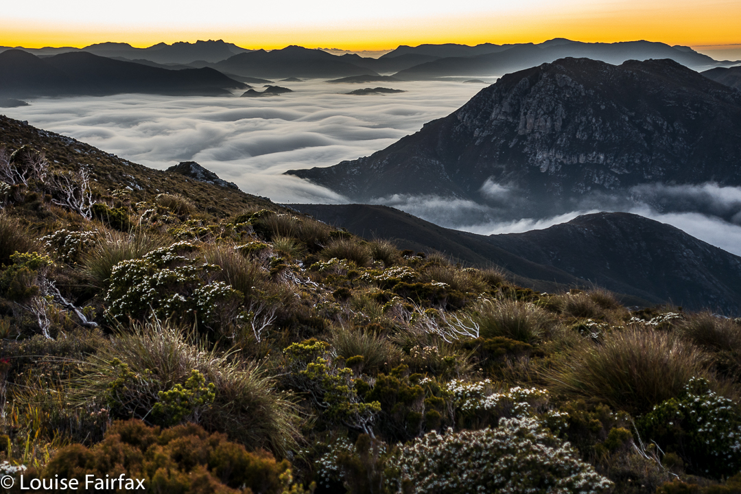
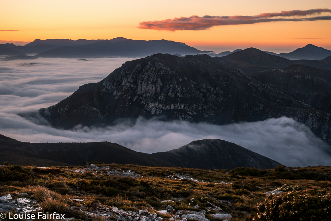
Full of joy, I returned to the tents (I had climbed back up the ridge to take these shots), worried that I might now be running late. Today, we would descend to the Old River, to only 40ms asl, thus losing the beautiful height we had laboured so hard to achieve.
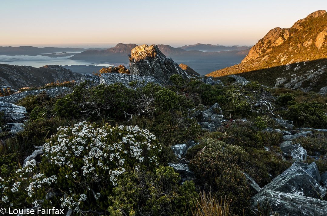
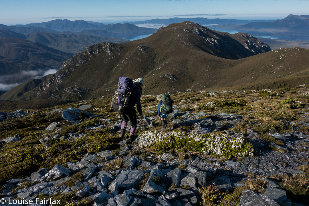
From the ridge, this descent looked stunningly steep – and it proved to be every bit as scarped as it appeared from above.
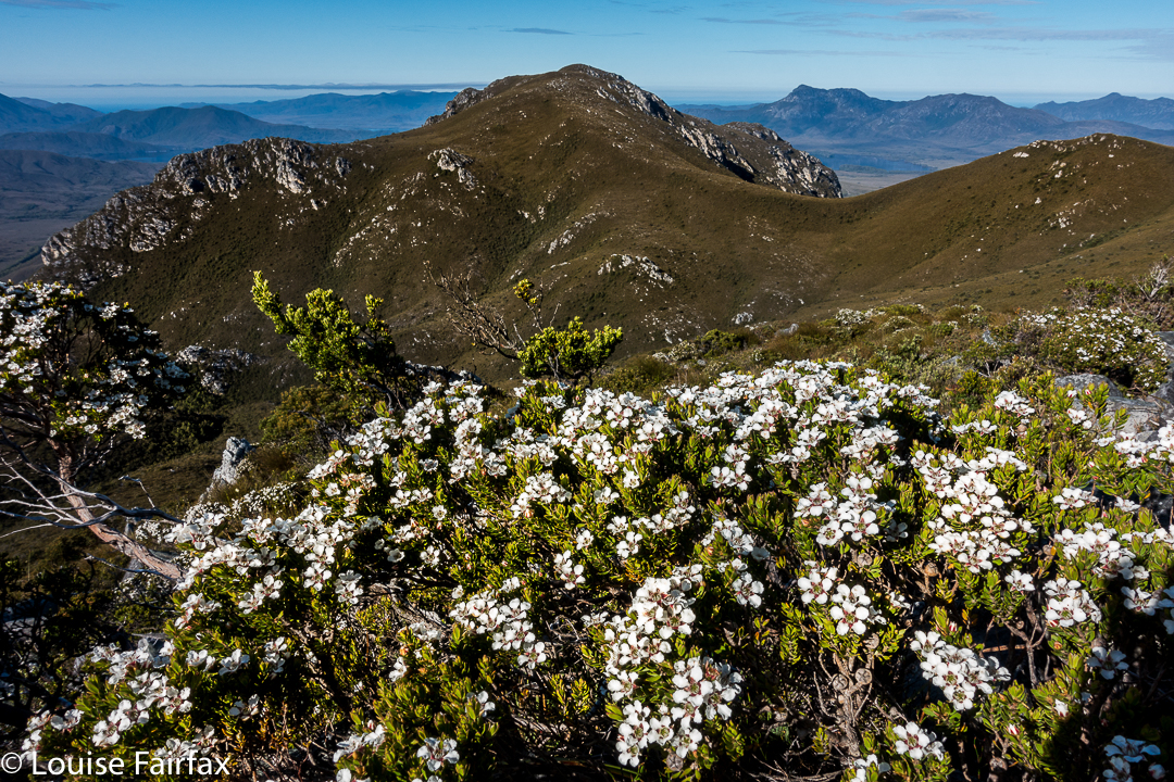

It was a tough climb, sometimes using trees instead of ground to get ourselves down, sometimes sliding down several metres of almost vertical ground, letting ourselves drop off little cliff-faces, hoping the landing would be OK.
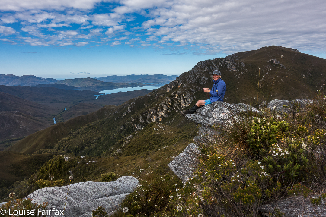

Karen, pondering the drop to the river below, which you can see snaking through the valley.
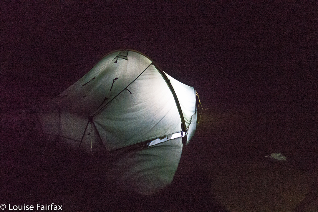
That night was memorable, and I don’t think anyone got much (any?) sleep. It was quite frightening for some of us, actually. The strong wind of bedtime, grew to be an uncontrolled monster by the early hours, and was gusting with such force that the tent fabric was thrashing around, and making piercing whip-cracking noises every few minutes. The poles bent over towards our faces and then snapped back up, untamed wild beasts that took on a life of their own. Meanwhile, it was raining heavily. I know what it is to have a tent snap in the middle of the night in rain, so lay staring at my pole, willing it to be strong. Others were doing the same.
At 4.15 a.m., a humongous gust snapped the poles of two tents (affecting the four inhabitants). The two near me got sopping wet coping with the breakage. All four had to do repair work in the dark with rain slashing down. It was not a joyous occasion. We were all exhausted next morning, as with or without a collapse of your temporary home, the noise was not something you could sleep through. Rain continued. Our leader, full of wisdom, called a rest day (Day 5) to try to recover, and to dry out, if possible.
Day 6. See natureloverswalks.com/ripple-mountain for a blog on the climbing of Ripple Mountain.
Day 7. This was also a rest day. The rivers were swollen from all the rain, but the forecast indicated the waters may subside a bit. Our route was to take us over two rivers if we were to complete our circuit, so we needed to sit this mini flash-flood out if we wanted our other goals. Voting and discussion took place about whether to cross, how to do it safely, and what to do if we didn’t. (See photo of the swollen Old River in the blog link above). We listened to the light patter of rain on tent for much of the day.
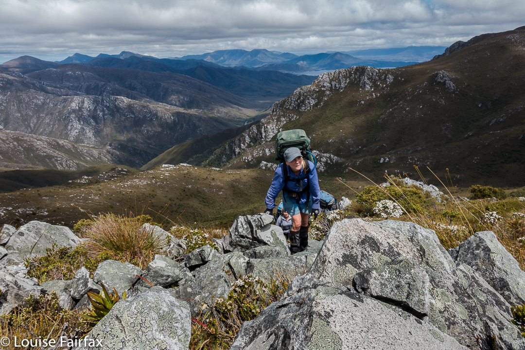

Karen climbs
Day 8. Retracing our steps won out in the end. Several of us were unwilling to take the risks involved in a double crossing of unknown depths and strength, involving the possible (probable?) risk of hypothermia attached, especially if equipment got accidentally wet. We didn’t have appropriate gear for such a crossing.
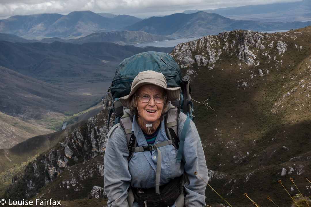

Maureen the wonder woman, with 760 peak bagger’s points, and 155 Abels to her credit.
Up, up, up we climbed, some people hurting themselves trying to haul their bodies up the precipitous and slippery slopes. Then, down and up Mt Wilson once more, and part way down her ridge until some members of our group could just not take any more. We stopped in a spot that was pretty sheltered, considering the conditions, and had the last real meal of the trip. We had left a food stash on the other side of the river, but we would not reach it. Time to tighten the belts.
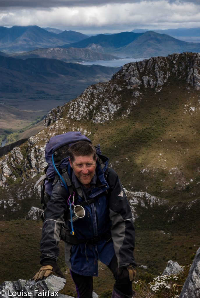

Dale, our noble leader
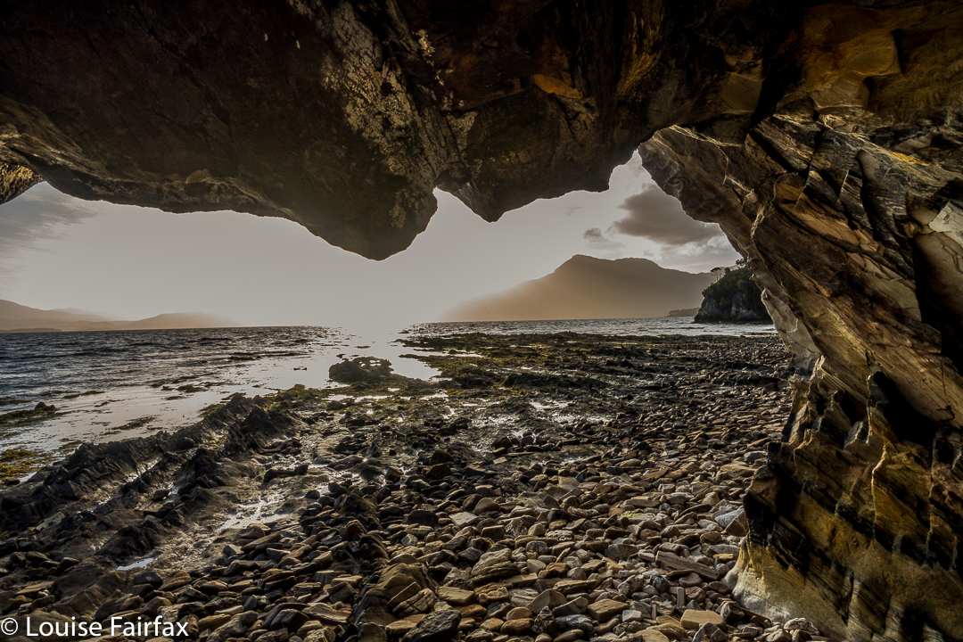
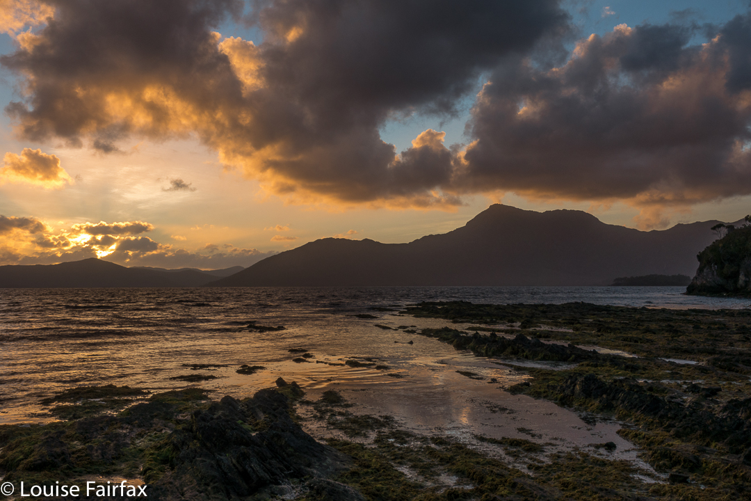
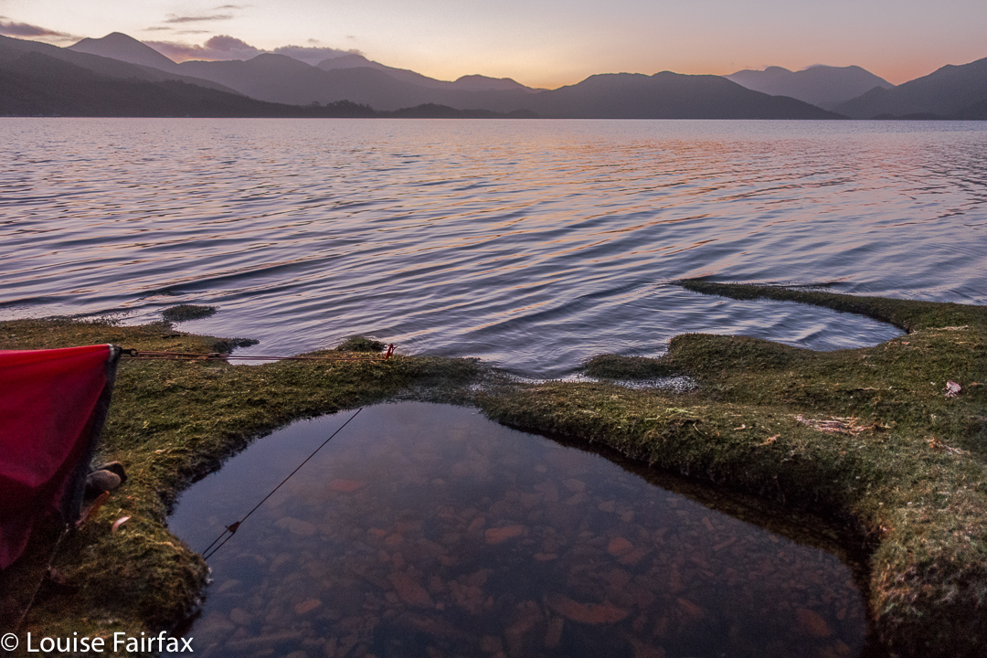
Day 9. On this day, we completed the descent, and chose spots for our tents on the banks of Bathurst Harbour to wait for the boat, which we hoped would rescue us early seeing’s we had no real food left. Meanwhile, this spot was so beautiful I thought paucity of food was inconsequential, and began to hope the ferry wouldn’t appear. I got my wish … and a beautiful sunset as well.
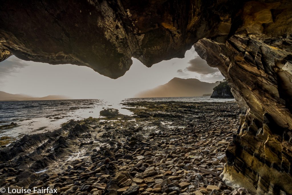
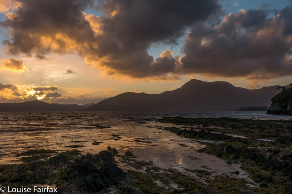

Day 10. One of the most hilarious nights of my life.
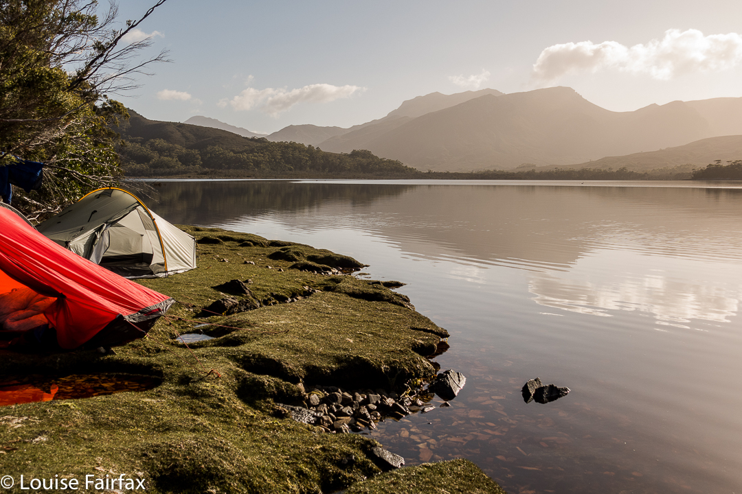
Now, this was primarily a group of pretty experienced and intelligent people, so it’s not as if we never considered the possibility that Bathurst Harbour would be tidal. It was partly tidal, we were told. We were also sensible enough to observe the water during the day. Low tide had been at 8pm that night, and we had arrived mid-morning. High tide should have been at around 1.30, just after lunch. It was nothing to worry about. We camped on magnificent grassy verges, replete with magic, crystal clear pools.
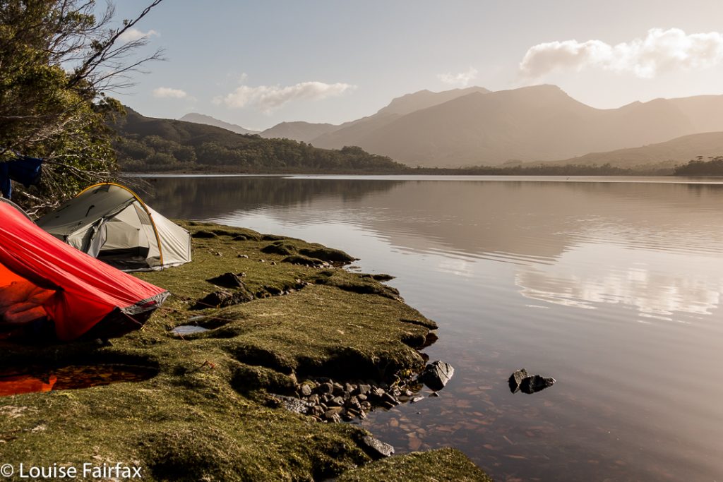

I had the most beautiful afternoon, lazing around my tent, watching the delightful private bath right outside my vestibule (it had been raining for days – of course the pools were full), and later, walking around the point for sunset, as above.
At 2.30ish, I got up to go to the toilet. My torch was on, so I saw nothing beyond its cone of glow. However, I love seeing the stars at night, so went back out without light to gaze at the Milky Way. Wow!!!! And there lay another wow: water was up to the edge of my vestibule (I could now see, seeing’s my vision was no longer reduced to a torch sector). I looked across to Maureen’s tent. Hm. It was half way up hers, but I knew she was awake, and she said nothing, so I assumed all was well. I did my maths: high tide would be 8 + 6.5 = 2.30 in the morning. OK. We were now exactly at high tide, so I’d stay awake to make sure everything (like, my maths) was correct, but all seemed to be in order.
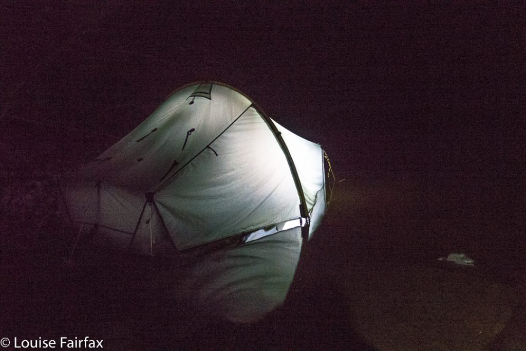

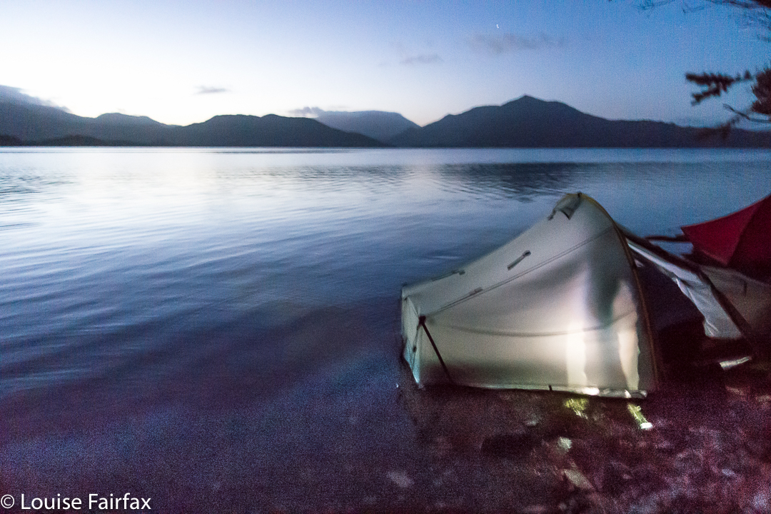
Maureen’s island tent (at 4.15)
Shortly afterwards, Dale came along to tell us to evacuate. His tent was fully flooded, everything sopping, and he feared the worst for all of us. Maureen and I, however, elected to stay put, and “watch and wait”.
Twenty minutes later, the water was still rising, so we cleared our gear up into the trees, and sat on a rock together to watch the show.
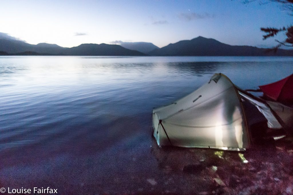

5a.m.shot
Actual high tide came at 4.15, so we did a lot of waiting and chatting and laughing, as we thought this was terribly funny. When we realised from our little rock marker that the tide was at last on the wane, Maureen made us a hot chocolate, as neither of us wanted to return to our tents: Maureen, because hers was still inches deep in water (inside); I, because, although my inner was dry, the vestibule was still pretty sodden, and it was now so late, or early if you wish, that I wanted to hang around and photograph the dawn. We continued our vigil.
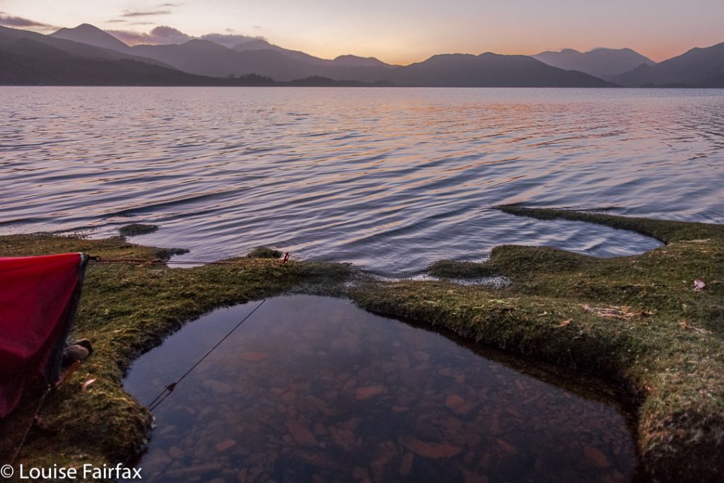

5.30. Pre-dawn glow
No one slept that night. I think Maureen and I got the most fun out of it. The boat didn’t rescue us until after 3pm, so there was plenty of time to dry out. We’ll have fodder for laughter together over that one for years to come.
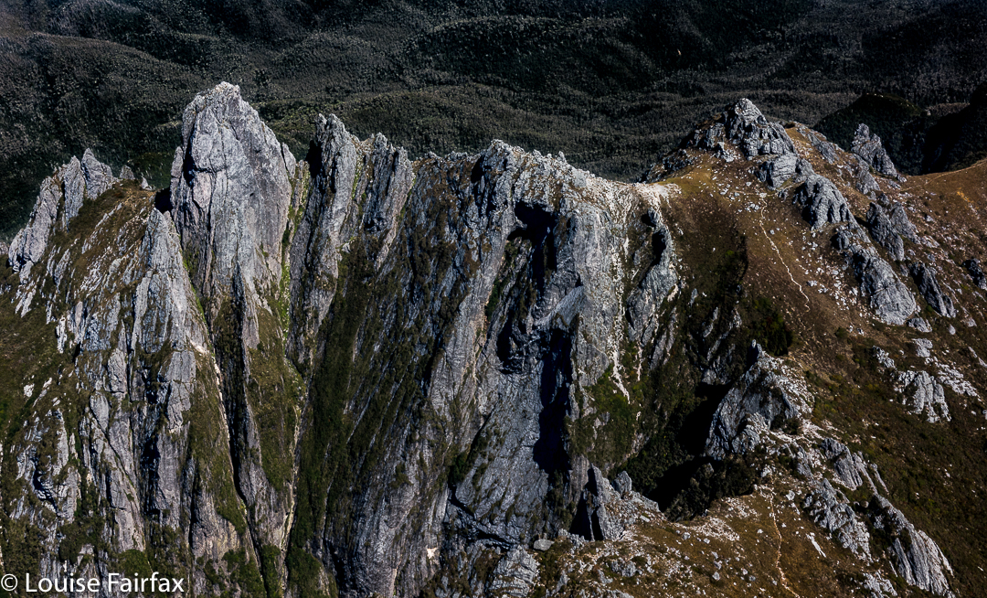

Did I mention that the flight home was pretty good? (Federation Peak. That’s the one you don’t want to fall off!!)

Ripple Mountain 2017 Jan

“What’s your favourite trip?” I heard one of our party being asked. He gave a very similar answer to the one I would have given had I been asked: “Well, it depends on what aspect you’re thinking of. Scenery? Company? Weather? You can have great scenery, for example, but company that’s, well …. “, he gave a dismissive gesture with his hand. “Or, you can have great company, but miss out on the scenery.” I knew exactly what he was getting at. I have been in fabulous scenery, but have not been particularly happy due to the company I was keeping, or, as was the case on Ripple Mountain, I can climb a rotten beast of a hulk, but have great fun as I’ve done it with like-minded crazies who are also prepared to get out there and work hard, defy the elements, and somehow find enjoyment in the whole exercise. The very perversity of climbing something like Ripple Mountain has its own appeal, and when you do it with others, there is a complicit glee, like that had by kids at a midnight feast.


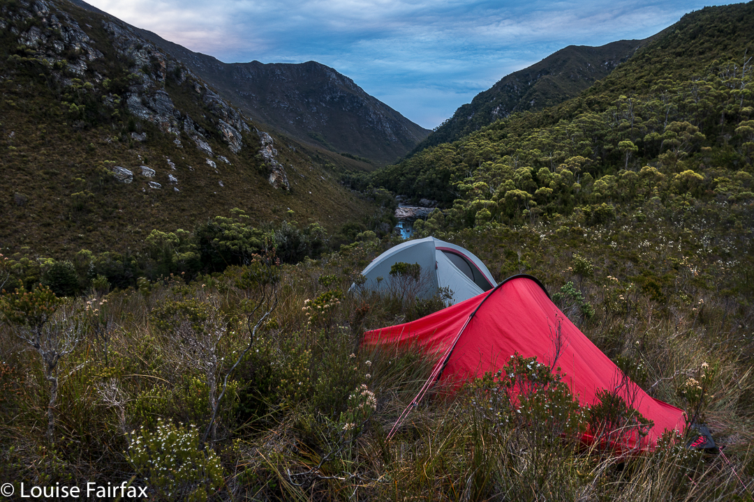
Just to get to the starting line of Ripple Mountain is no easy undertaking: first you have to fly to Melaleuca (South-west Tasmania) by light plane; next, there’s a boat ride through deep wilderness, up the Melaleuca Inlet and across Bathurst Harbour to a landing spot on its north eastern banks. By now, you are in a totally remote and wild area beyond the comprehension of most city dwellers. Finally, you have to walk over some mountains for two days and drop way back down to near sea level on the Old River. Now, you are ready to begin climbing. If it’s raining, what then? You climb anyway. And so, we set out in the mist and light rain, through ultra-thick scrub to climb Ripple Mountain because, well, what else do you do if it’s raining?


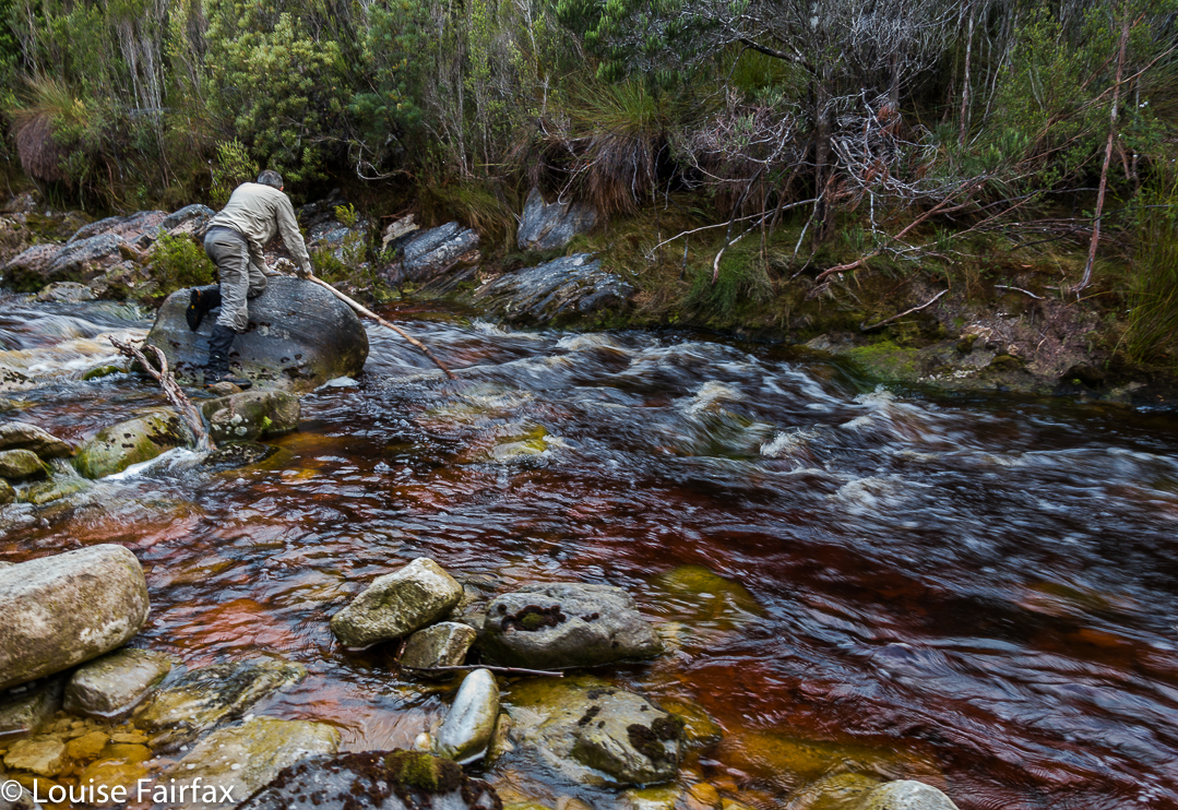
If I tell you we took six hours to cover 3.5 kms horizontal distance, with only 700ms vertical climb, that should give you a pretty good indication of the nature of Ripple Mountain, before I even begin to describe the day. Now, I have mentioned the light rain without indicating that the rivers and tributaries in the area were now somewhat flooded. Our first obstacle for the day was an integral part of these conditions: a fast-running creek of unknown depth and strength, which fed into the Old River, beside which we were camped. We found a narrow crossing point. The water looked strong, but not too deep. We took off our socks, put back on the boots and gaiters for protection, found ourselves each a nice long pole for balance, and tried our luck with the waters. They were strong; we inched slowly across (most of us) to make sure we didn’t slip or get bowled over, and were soon enough over the other side. Now began the real work.


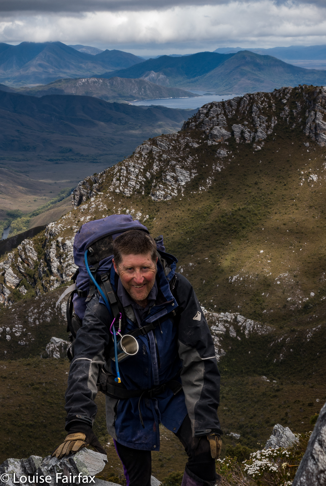
We worked hard for 6 hours (up) to get this view
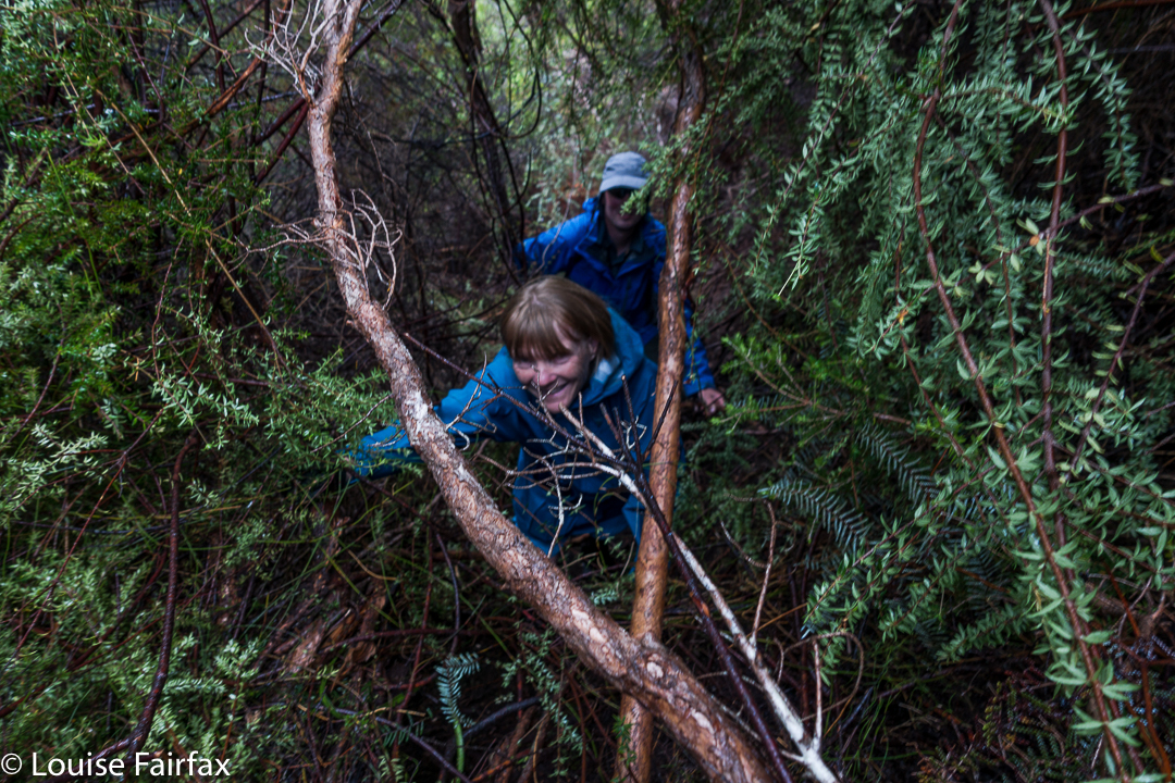
Ripple Mountain is a steep and scrubby affair: it’s a “dirt-in-your-face” kind of steep, where you use all four limbs to haul yourself up for hours … but that’s not all. It protects itself with an ingenious palisade of very thick scrub, the sort of scrub where, if a lightweight like me pushes at it, nothing happens. Even Dale, not a lightweight, could thrust his body energetically against it and have it move only a minute amount. Michael, our tallest member, was thus appointed to take on the worst of it. He did an amazing – an unbelievable – job of pushing away bauera and banksia to let the rest of us through in his wake. There is no way I would or could climb this mountain without the others – and no way I would want to. I was not here for points. On this occasion, given the weather, I was not even here for a summit view. I was here for “fun”, because I am so deficient in understanding that I think that getting myself covered in dirt and scratches, that hauling myself up for hours with friends who are doing the same, constitutes a good time.


We surmised that Ripple Mountain got its name from the seemingly endless waves of scrub that define the final ridge. As Matt pointed out: it did not get it from any ripple of applause.
We had lunch on a knob where the land flattened out a bit, thinking that, with only 1.2 kms to go, and negligible climb left, we’d be about another hour. Wrong. We were still a tad over two hours off our destination. I started to be very glad that we’d packed head torches, and was mentally prepared for a descent in the dark.


The Old River, beside which (nearly) we were camped, and across which we needed to go if we were to climb Harrys Bluff next day. The water, I should add, was very cold. Even on a hot day, no girl went swimming.
You will be thrilled to learn, if anticipating an ascent of this uncouth mongrel, that the final seven minutes are delightful walking, where you get to put one foot in front of the other in an upright stance, fighting nothing to gain the summit. I think from its position, geographically speaking, it must offer fantastic views. I saw a few blades of button grass from the top – and the friends with whom I climbed. The trip down was very speedy, done in only half the ascent time, not only due to the fact that we were no longer fighting gravity, but also to the excellent passage that Mike had made for us on his way up. We named our ridge “Mike’s Ridge”. All up, it was an 11.5 hour day, 8.75 hours of which were spent moiling forwards.

I didn’t track this one, but my friend did. When I get a picture of our route, I’ll post it here for those who love map-staring.

Castle Crag / Falling Mountain 2016 Jan

Falling Mountain and Castle Crag. Feb 2016

View from Castle Crag, with Pelion East, Pillinger and Cathedral in the background.
To climb Falling Mountain, the notes Angela and I had suggested we should head from the clearing below Du Cane Gap towards the rocks from the latest fall off the southern end of the mountain, so we did precisely that, departing that bearing when the bush got thicker than we liked. When we left the direct bearing, we headed a bit right (north), climbing or contouring as the best leads through the scrub dictated (no longer using compass). Eventually this method took us to a wonderful lead of pineapple grass that made easy passage in a green path upwards to the final little climb that popped us out on top, much faster than anticipated in 1 hr 17 from our tents, drying down in the open clearing below. I photographed here, at the highest rock on this part of the mountain, five minutes away, and again at Castle Crag, a nine-minute saunter further on across alpine grasses and a bit of rock.


The route being described in the narrative
Rather than just retrace our footsteps, we agreed to try something different and just drop off Castle Crag. The boulders were surprisingly huge and the going not as kind as our original route, so we decided to sidle across to meet our ascent track. I was leading at this stage and concentrating on the job, using a kind of animal instinct that kicks in when I’m climbing, just following what some non-verbal part of my being feels is the way to go, sensing passages through the maze of rocks when one of the smaller (football size) rocks I trod on became dislodged and catapulted down the mountain, whacking my foot en passant. I writhed in pain, hyperventilating badly, vision blurred, dizzy with shock. Uncharacteristically, I reached for my pack to grab a painkiller. Whoops. They were in the big pack way down there. Angela’s were in the same place. (At least my EPIRB was with me. At this stage, I didn’t know if anything was broken, but found it hard to image that a blow of that force would not break something.)

“OK, no painkillers. We need to get moving quickly. If I’m to get through this, I need to start moving, and now. If I rest, I’ll stiffen up and never budge from here.”

Castle Crag summit cairn, with Ossa and Pelion East behind
Cautiously, gingerly, I put weight on the now swelling blob at the end of my leg and tucked in behind Angela, who was left with the job of choosing a route that would be kind to a one-footed friend. I didn’t feel like exerting the brainpower needed for such matters, and concentrated on using the foot as a stable plank, tucked in behind Angela. Most surprisingly, we were down in 1 1/2 hours. It felt like much longer than that, but my foot was coping well with weight bearing.

Sunset at Narcissus Hut (Lake St Clair)
 
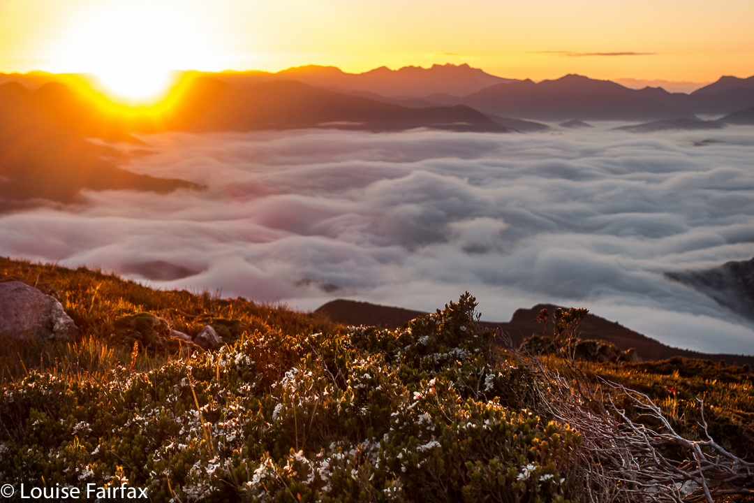
Next morning the sunrise was exactly what I ordered. I do love a good mist

I didn’t dare inspect the damage to my foot until Narcissus Hut. I thought if I looked and saw what I was bound to see, I’d feel sorry for myself, and maybe not be able to go any further. Now, I must say, I have always had the policy that if you are going to hurt a lot on the inside, it is the best thing to have an outer appearance that is commensurate with the inner torture. My foot did me proud. It was grossly distorted and swollen, and coloured a rather nasty combination of red, purple and dark grey. I felt a true martyr.

Leeawuleena, the mellifluous aboriginal name for Lake St Clair that matches its visual beauty with soothing sounds
Despite this magnificent display of swelling and colour on my ankle, I can report nothing is broken. For this, I can only thank my wonderful, solid, leather boots that shielded me from the full force of the bash, and the fact that the impact must have been pretty well back on the foot, so I am extremely lucky in the placement of the collision. My doctor advised rest.

“How many hours do I have to rest for?” I asked (neatly eschewing mention of days or weeks).
She knew the implication of my choice of words, shook her head and smiled wryly (which is why she’s my doctor).
“Twenty four / forty eight hours?” , she said with rising intonation and another smile. I got the feeling she was carrying out a kind of barter: What number can I say that will not be so great that this person rejects it altogether, yet not so small as to be nugatory? She chose a good number.

Deal. I’ll obey that. I did Pilates instead of running and only walked the dog.

Dawn light
I do not feel unlucky at all to have been hit by a falling rock coming off Falling Mountain: on the contrary, I feel very much the opposite, and elatedly relieved at all the things that could have been, but weren’t. I will enjoy the rest of my summer’s bushwalking with even greater gusto.