Eastern Arthurs part 1: The Needles and Geeves Bluff.
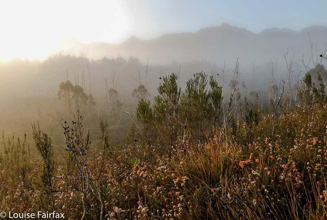
The Eastern Arthurs connote wild, remote beauty; beyond that, I wasn’t quite sure what to expect, but I was looking forward to seeing and experiencing whatever it was that lay ahead. I hoped to climb Federation Peak, although didn’t have my heart set on it, and unequivocally wanted to climb The Needles, (an Abel as yet unclimbed). That, I thought, should be a pretty definite possibility. Apart from that, great views and that special feeling fostered by deep wilderness lay on the agenda.
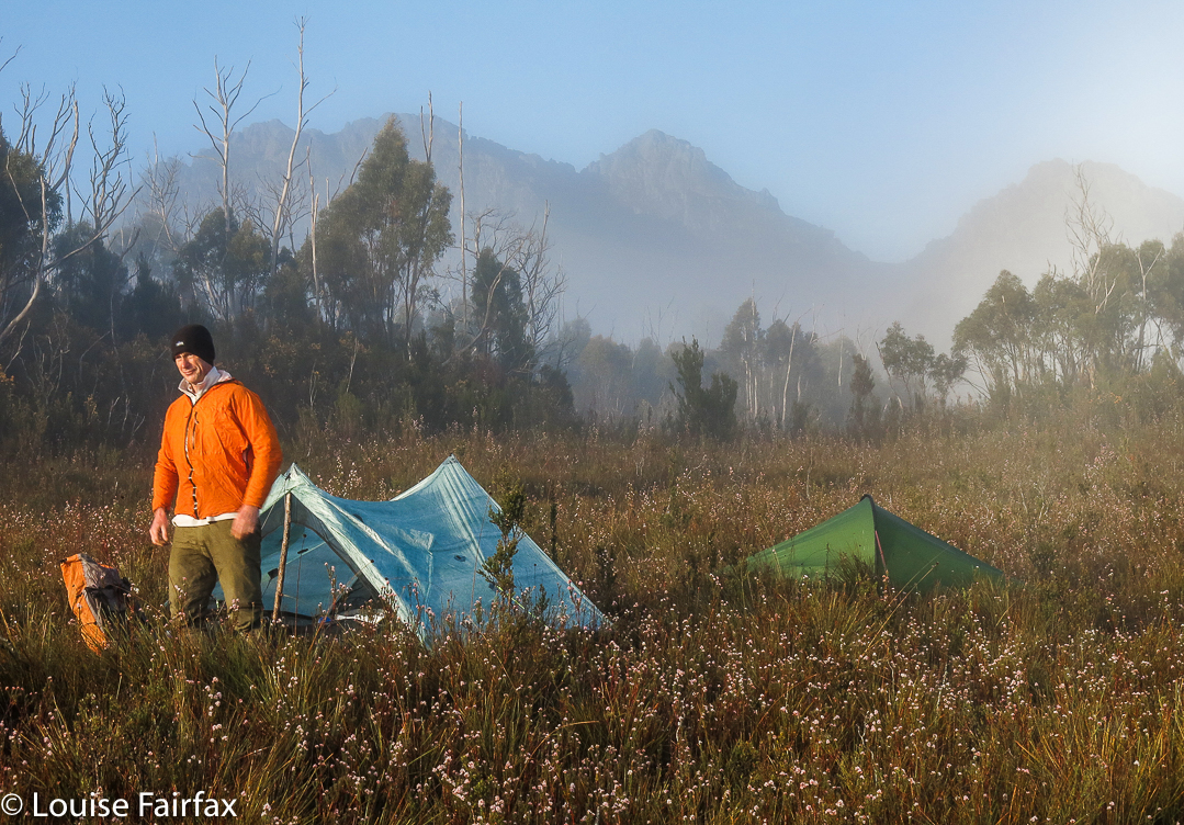
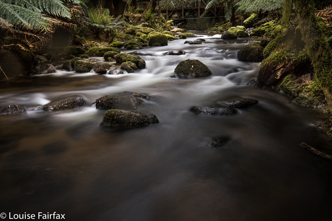
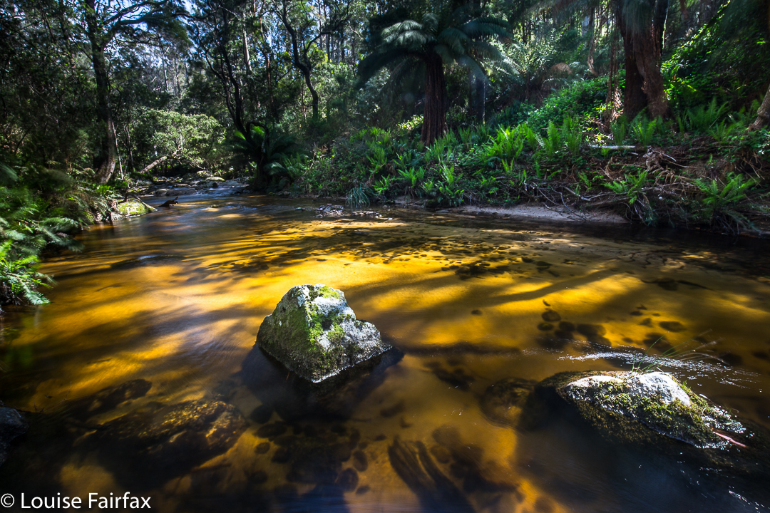
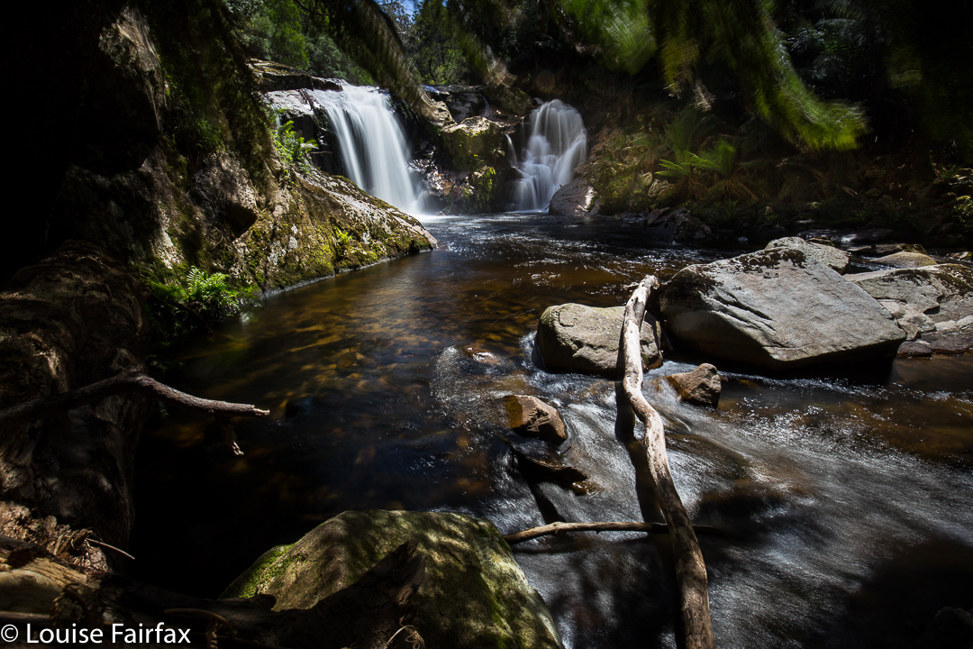
On this occasion, however, doing that delightful thing had the downside that it meant a bigger-than-expected second day across the hot plains that left some of our members rather exhausted. We developed the cute habit of leaving two members behind at every campsite for a while after this. Eleven became nine by the time we arrived at Goon Moor for the third night. But I have jumped ahead. First we need to leave the plains, pretty as they are in the pictures of our first night in the above two photos, and climb up onto the range.
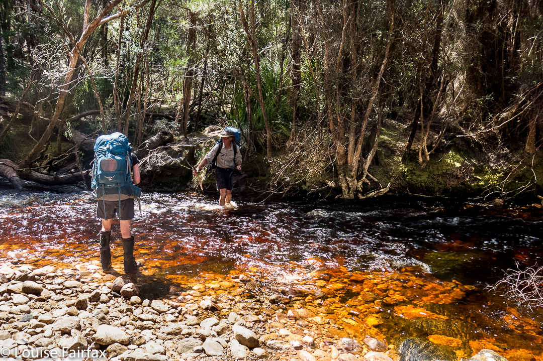
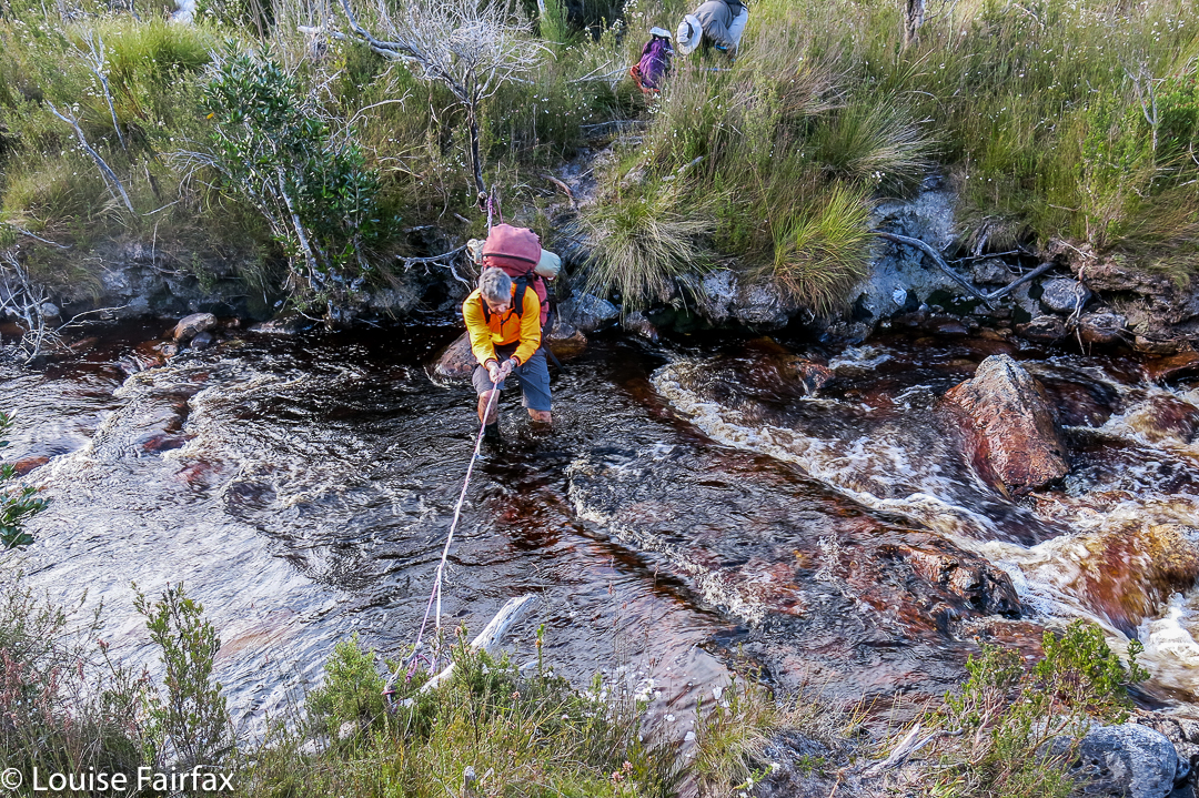
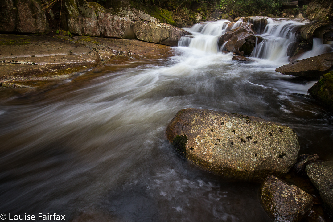
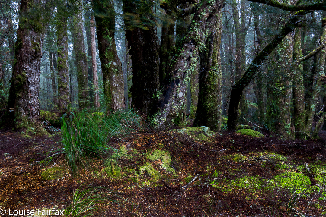
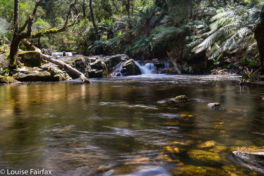
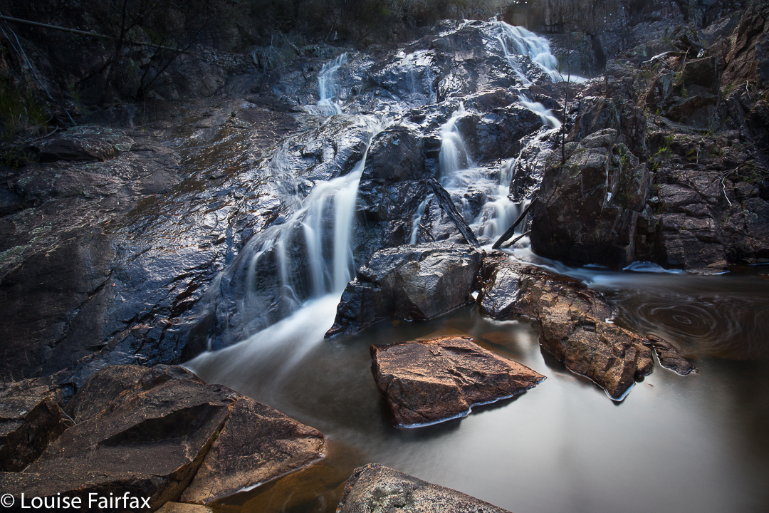
The above two photos are of some of the creek crossings before we began climbing. As you can see, water levels were high but not at all dangerous – and there was plenty of deep mud in case you’re wondering. Legs, clothes, gaiters and boots were all sodden and filthy by the first night, and remained so for the eight days we were there. Most of us stoically donned wet socks again each morning. Some optimists changed to dry ones, to have them generously receive the gift of water from the wet boots not long after. It felt good while it lasted.
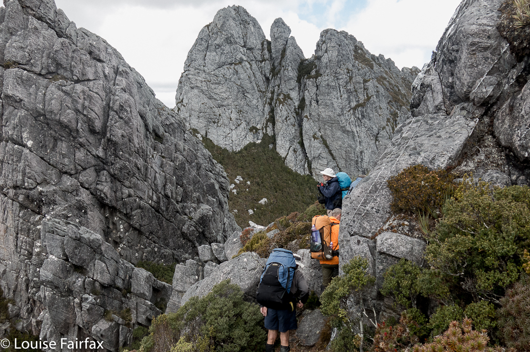 After Pass Creek (our second campsite), we climbed up onto the range via Luckmans Lead, on a route that takes you past a rock formation called the Boiler Plates. Above, you can see the group about to pass through what I call Boiler Plates saddle. As you climb, the Plates are up and to your left. At the mini saddle, you swing left to skirt along their backside.
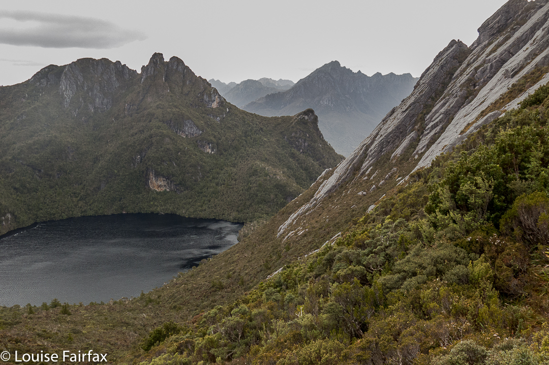 On the far right of this photo, you can see the backside of the Boiler Plates. Below left is Lake Leo, and behind, the famous East Portal, object of our quest on the return journey. For now, however, we are intent on reaching the campsite from which we will make our attempt on Federation Peak, viz, Hanging lake, so will not spend time or energy on longer, distracting climbs, although we did do a few smaller ones en route.
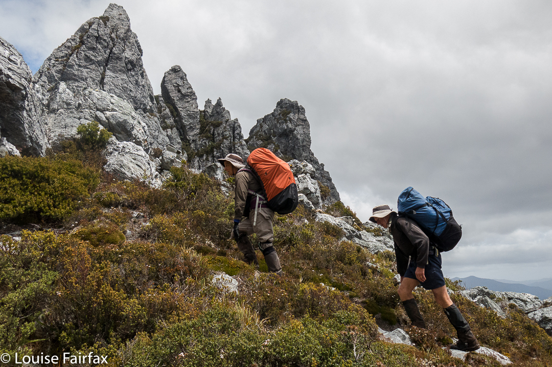
Kathy and Tony climbing as we make our way to the Stuart Saddle. Those are The Needles above, which several of us will climb after lunch.
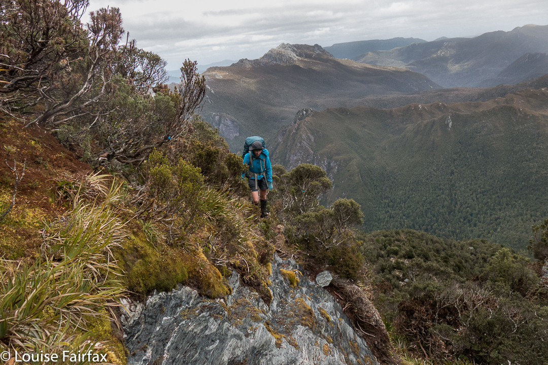
Angela, climbing towards the saddle at which we will dump our packs before climbing The Needles.
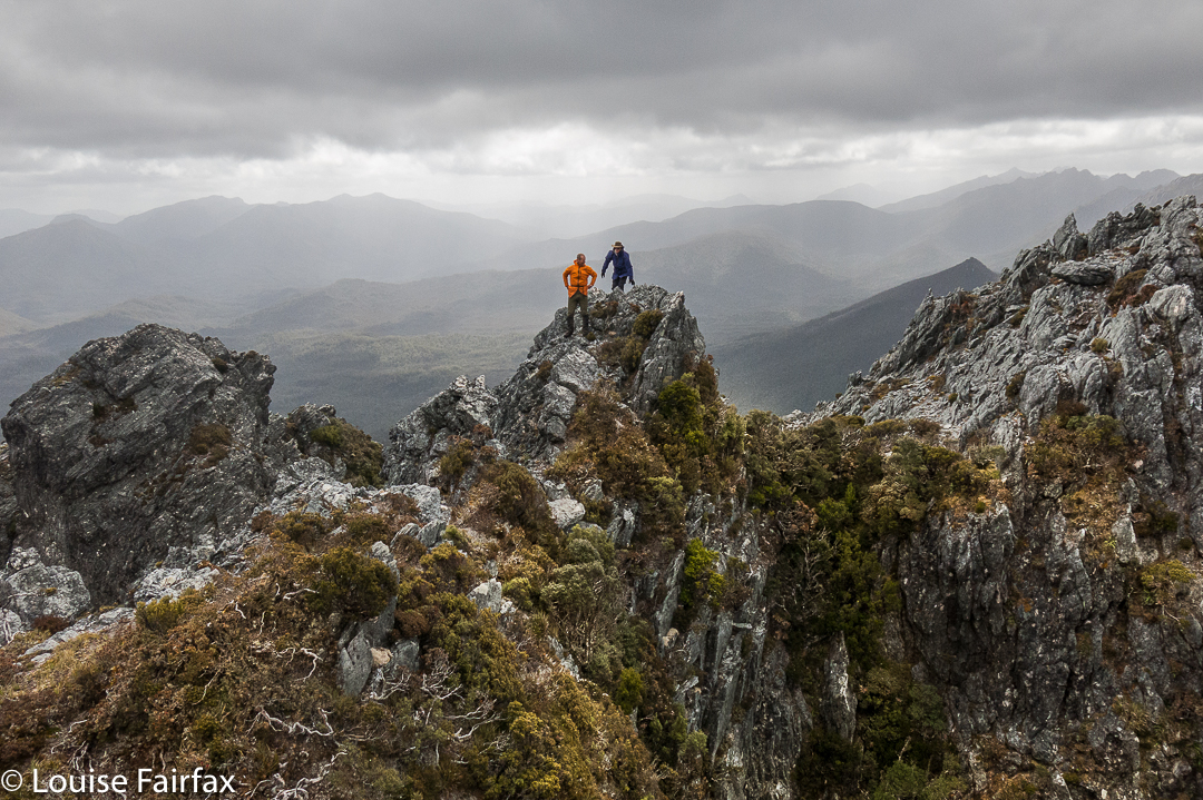 Dale and Wayne coming along the route that we later abandoned due to its dramatic plunge between two Needles. I’m glad we climbed these lesser Needles as well, as the views were fabulous.
The Louise that took the picture above was a very happy one. We had dropped our packs in the saddle suggested by the Abels book, and now were on our way to the summit of The Needles. However, this route involved a descent between some of the Needles that several members of the group were not comfortable with, so we actually ended up returning to the saddle and going back down the track until we were just short of being underneath the Needle that constitutes the summit. Even from here, the climb was not without its challenges.
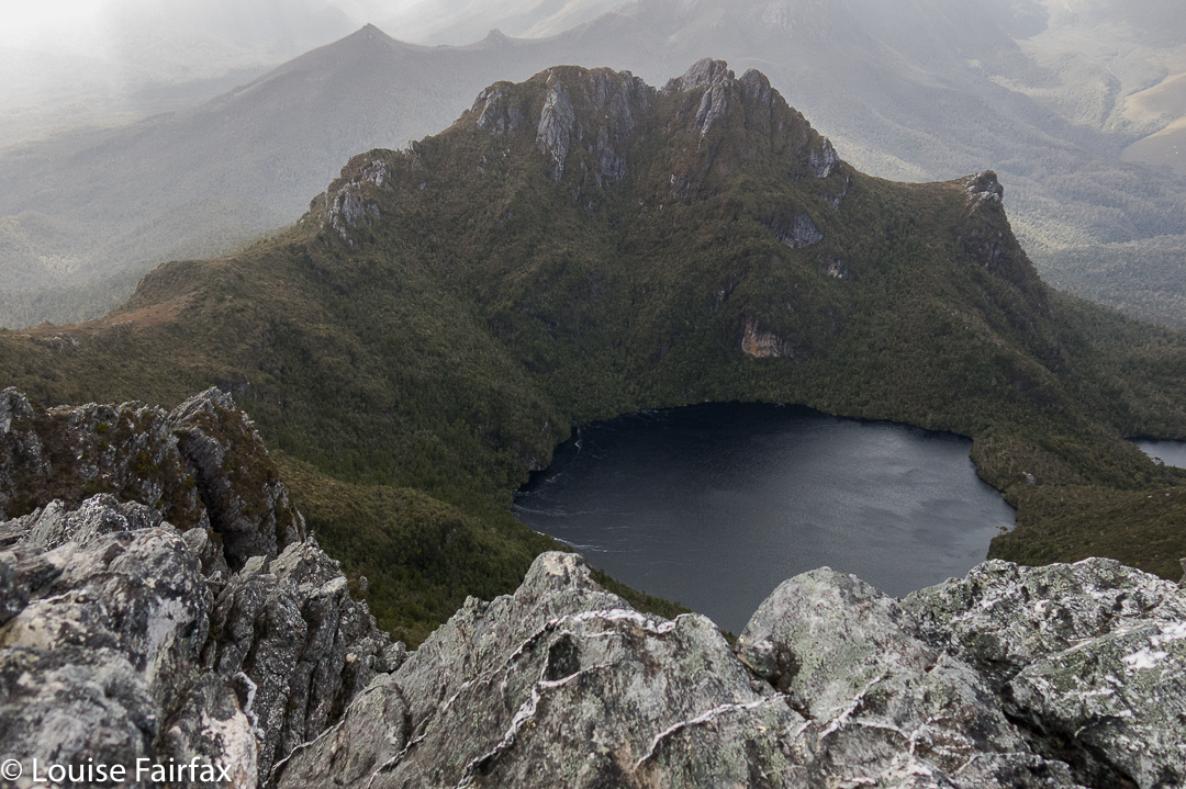 The Needles, summit view. We are looking at Lake Leo and East Portal below.
Wayne, Angela and Dale went right of a rocky spur that gave them a route that was very steep and felt a bit loose in places. I went left of this spur, followed by courageous Kathy. Our route was great except for the final lunge for the summit, where we were clinging to minuscule pieces of rock with a very daring and not exactly pleasant drop straight into the lake below. I concentrated on clinging to rock and tried not to see what was in my peripheral vision. Kathy says she is scared of heights, so I was very proud of her when she emerged onto the summit space having dared that route too. I was NOT looking forward to climbing back down that way, so was greatly relieved to discover that the route the others had taken didn’t involve exposure of that nature. We all went down their route.
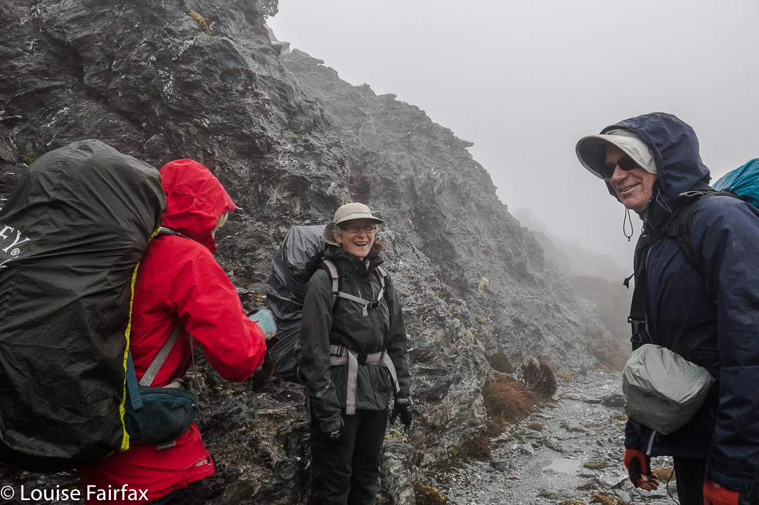 Having a breather climbing the Four Peaks. Rain does not seem to be dampening our spirits.
On day four, we climbed around the Four Peaks, trying to get past the many and varied obstacles before reaching Hanging Lake. We have now left two more members behind to climb other things, so are reduced to being a team of seven. We had to pack haul on three occasions on this route, more because we could not squeeze ‘human plus big pack’ in the space provided than because we needed to get clear of the weight. There just wasn’t enough space to fit us.
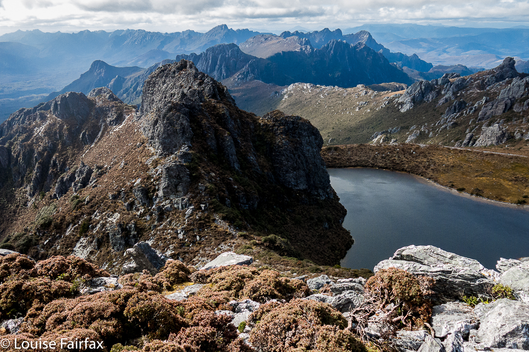 Geeves Bluff, view
After we arrived at Hanging Lake, several of us climbed Geeves Bluff. Here is one of the many views on offer from the summit. Wayne and Dale were busy making telephone calls on top. I tried to join in the fun, only to discover that my phone had accidentally been bumped on, and was now nearly out of battery. I never found a spot from which I could send a message to say I was still alive, so gave up. Such a message, if I could send it at all, would have to wait for tomorrow, the day on which we hoped to climb Feder. The forecast seemed good – early mist but then clearing. Hopefully conditions wouldn’t be too wet. Time would tell. This story will be continued next blog. What a tease.