Sorell 2015 Mar

Mt Sorrell Mar 2015.

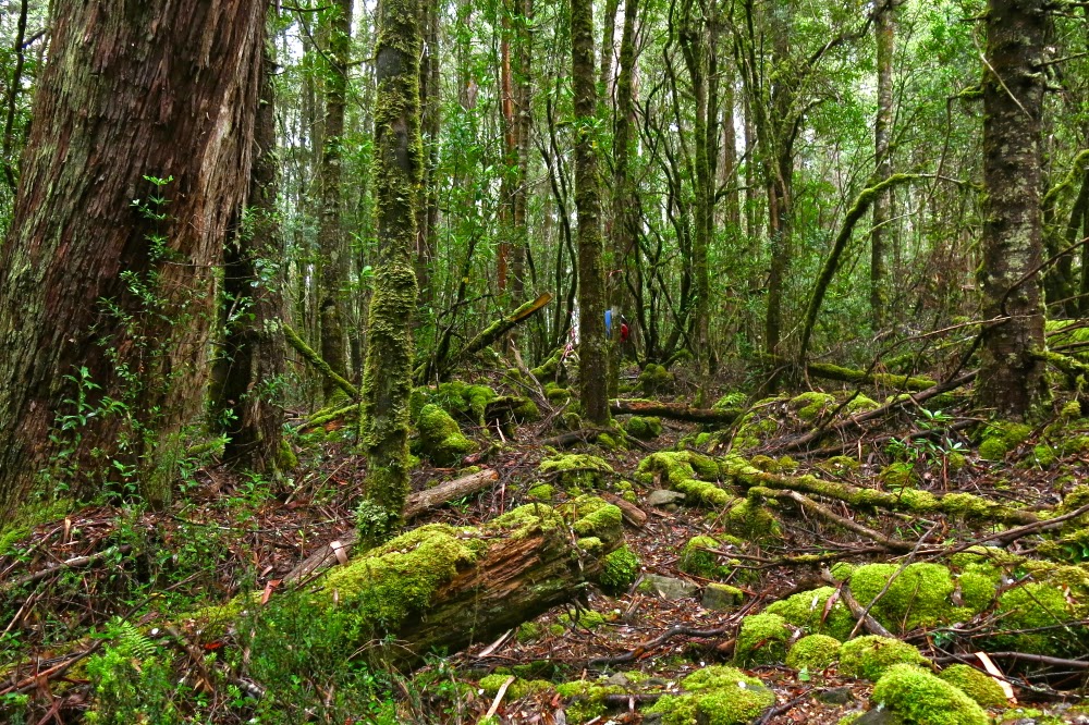
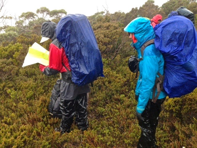
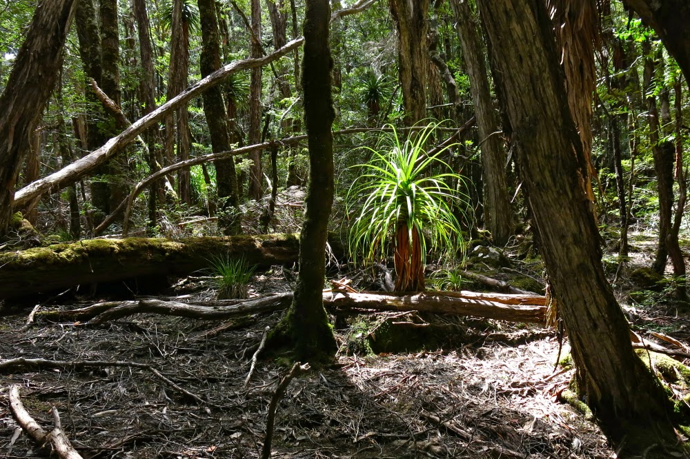
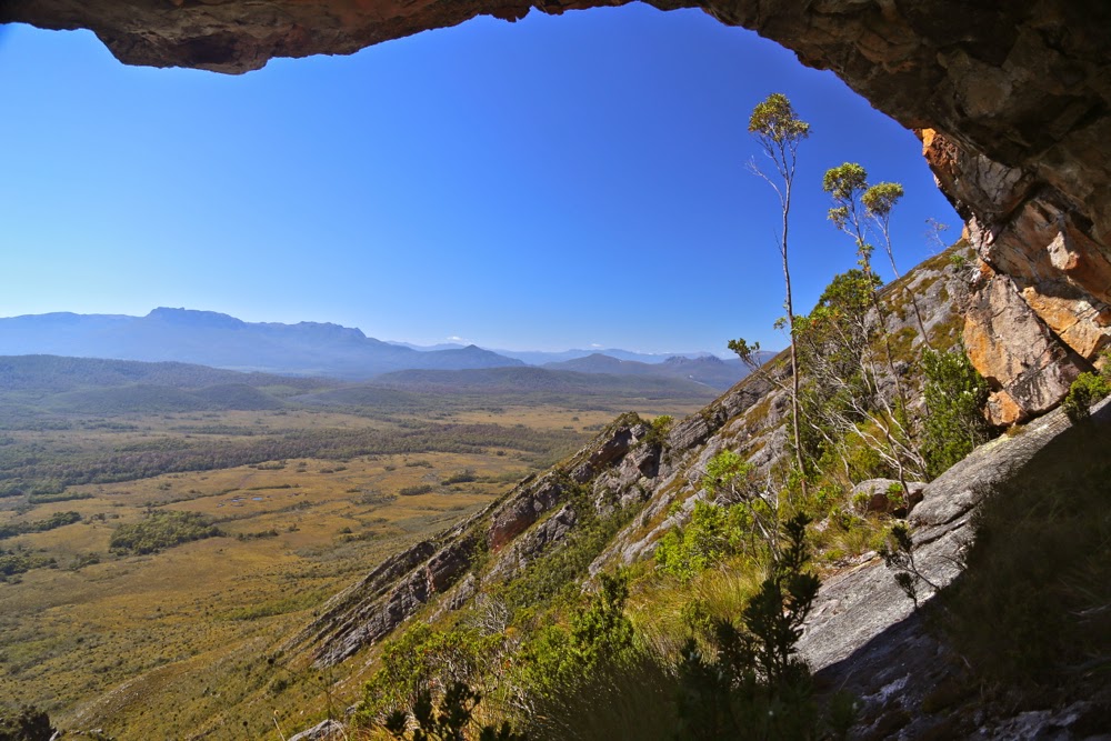
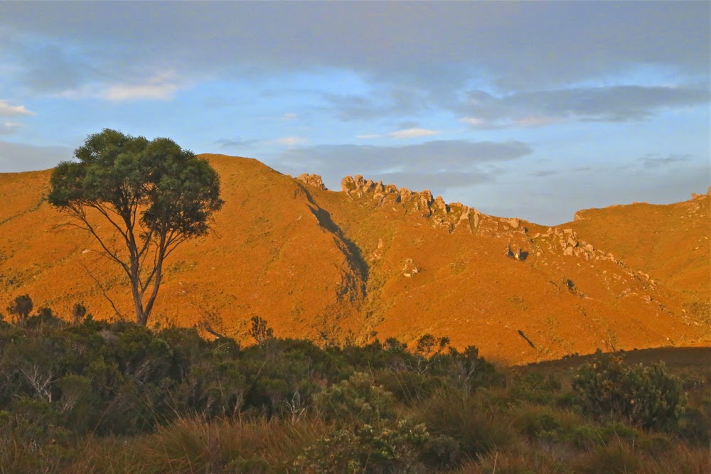
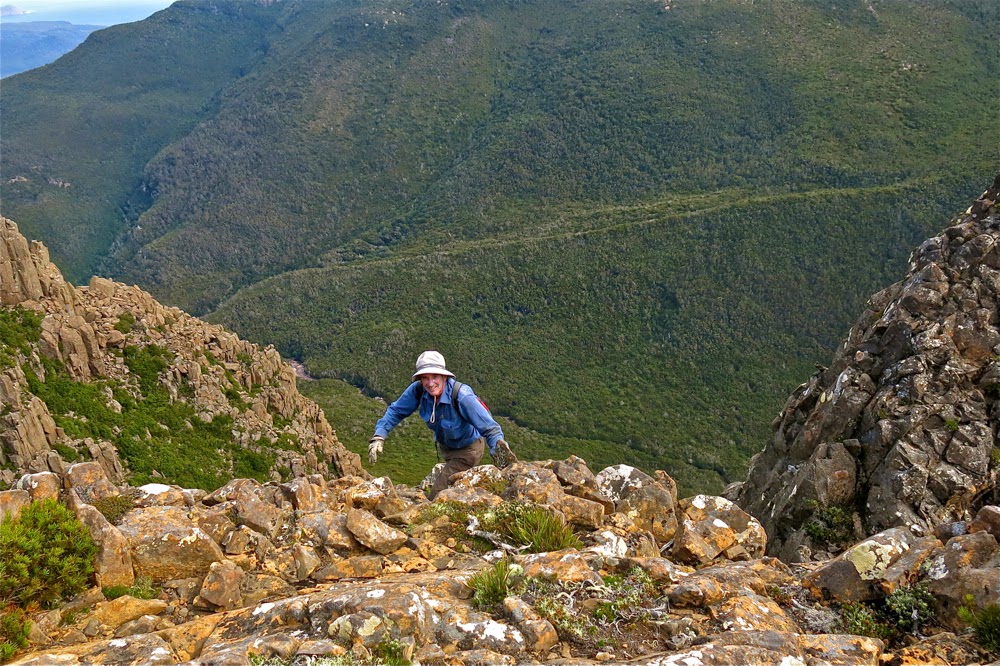
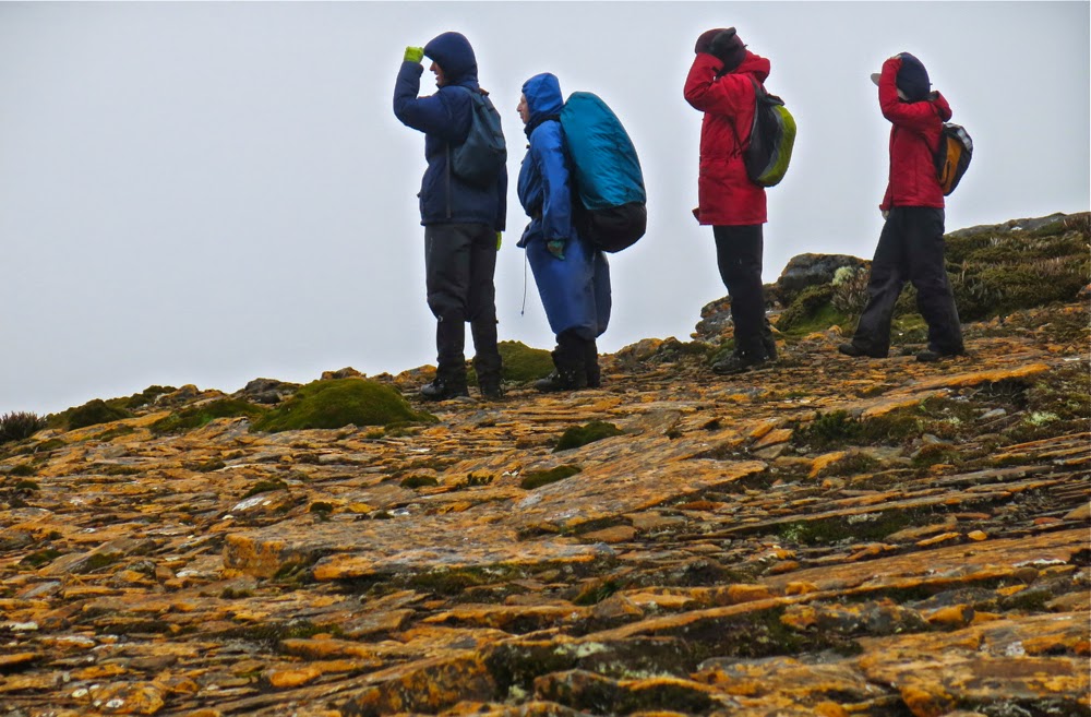
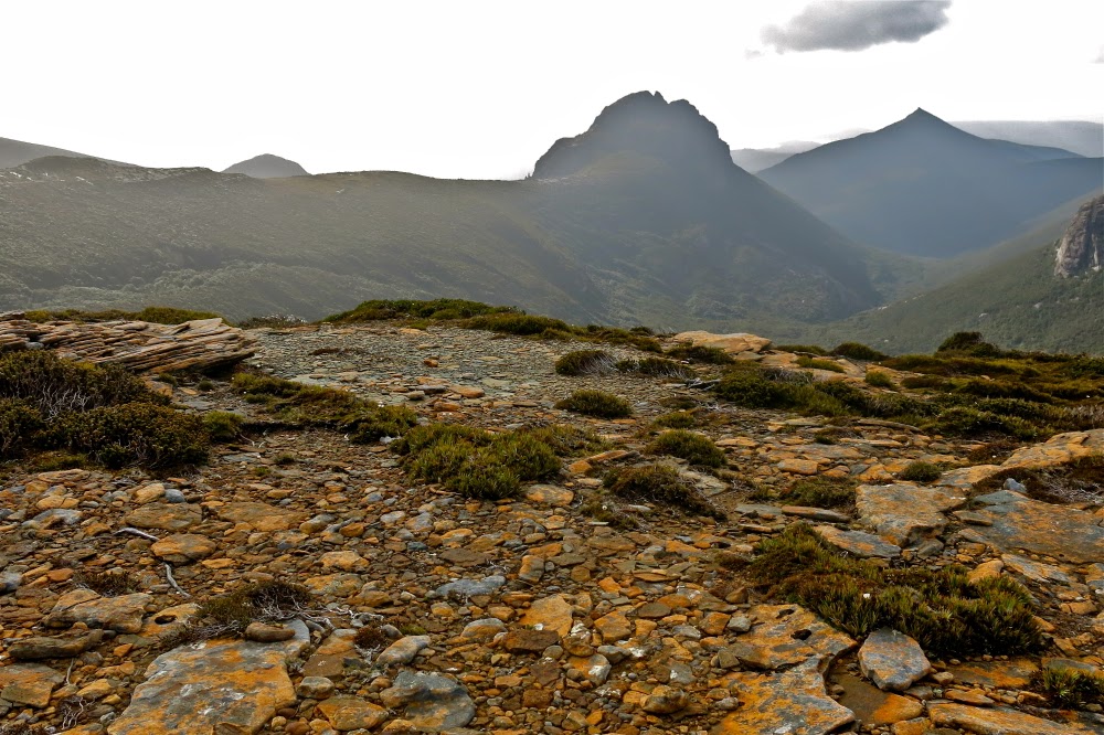
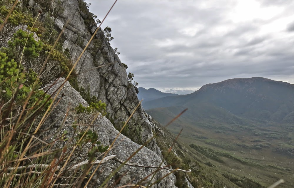
This is the slope we were negotiating

Mt Sorell has a formidable reputation. For that reason, the three men I was climbing with had left it until nearly last on the “to do” list of climbing all the Abels (peaks over 1100 ms in Tasmania). Of the 158 Abels, it was Andrew’s second last peak, and Terry’s fourth last. In fact, this would be Terry’s fourth attempt at the mountain. It does not give away its summit easily. These two men, on their first attempt four years ago, spent a whole day “punching holes in the scrub” to create tunnels of thoroughfare and laying tapes so that future attempts would be easier. They were. Because of their tapes, a couple of brave parties have gone through, finding the going much easier than they had done, and in the process, creating signs of human wear here and there (but not too much or too often) which now makes the going easier. But do not take this mountain for granted. If you think Mt Wright is too steep, then don’t bother with this one. It is not only steeper, but perilously slippery in wet weather (which we had). Route finding, even for the original tape layers, is not easy!
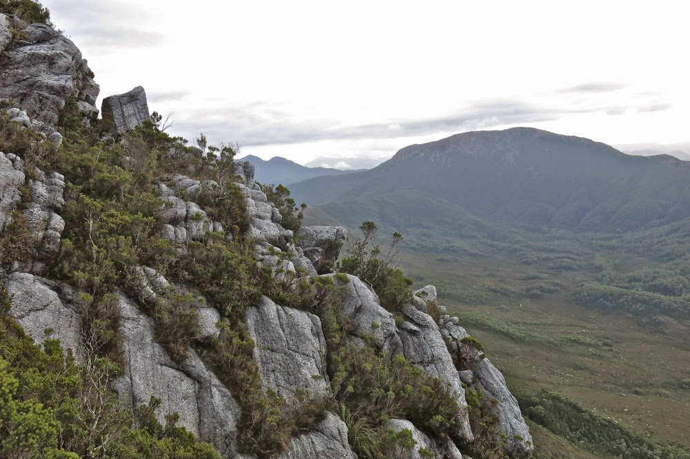
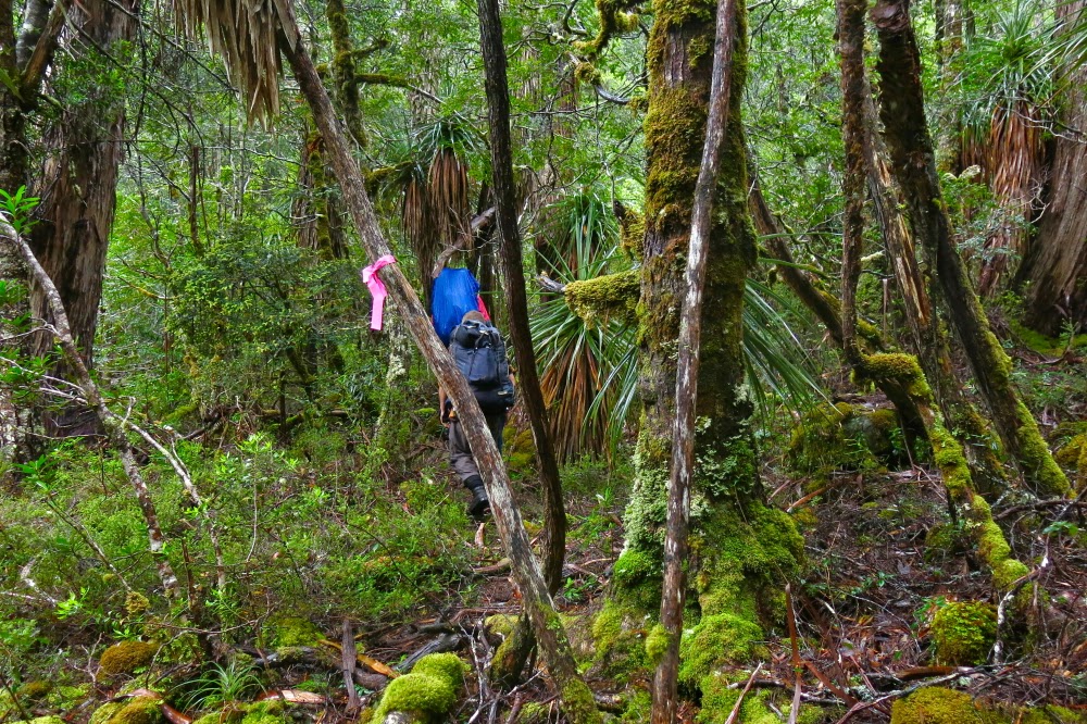
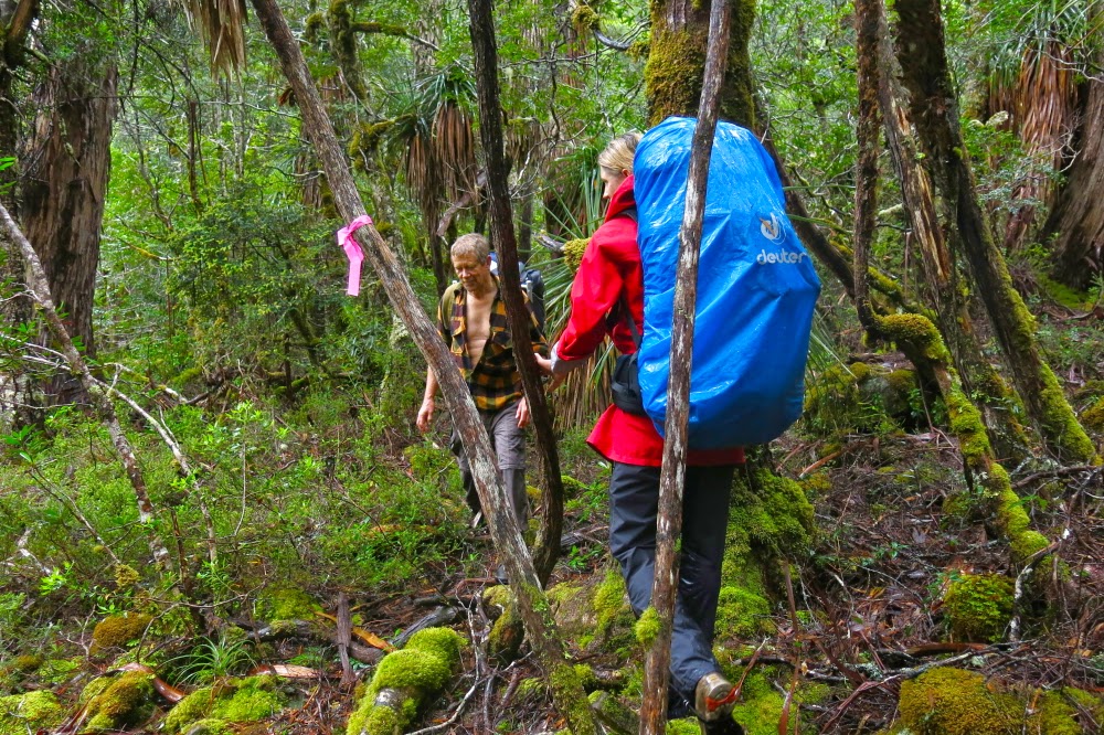
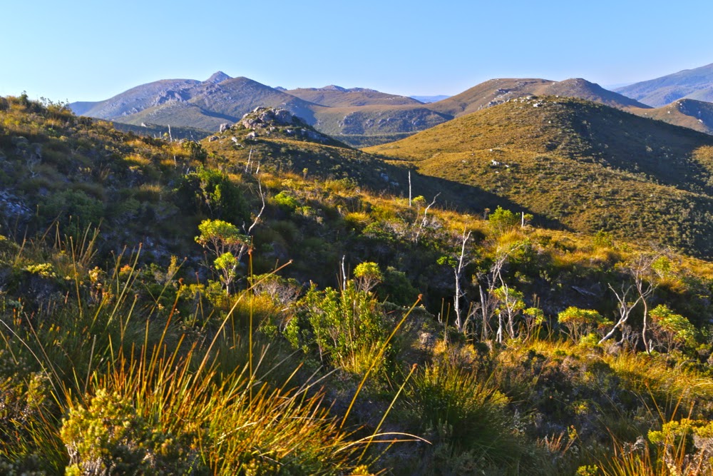
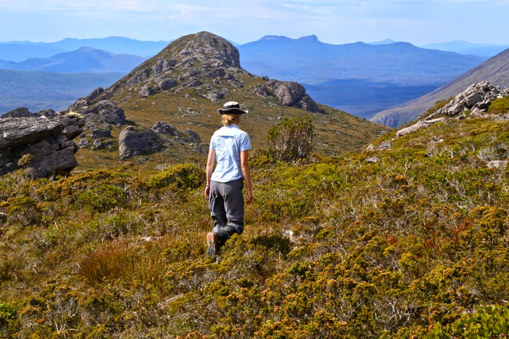
Another view of the kind of terrain we contended with

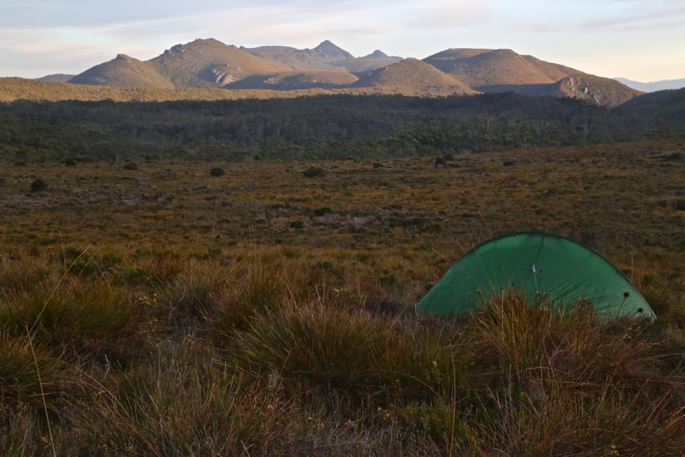
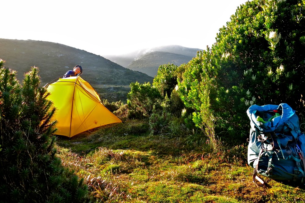
The forecast for our attempt was mixed: OK Saturday morning; furious rain Saturday afternoon; possibility of showers but also the possibility of clearing on Sunday. That would be our attempt day. On Saturday, we just got ourselves into position and sat out the drenching rain. Mark and I amused ourselves by counting the leeches crawling up the outside of the inner layer of our tents, calling out numbers to each other across the distance between our tents. Mark teased them, putting unattainable fingers on the other side of the fabric, but very near. Whenever either of us put a hand into our vestibule to get, say, our mug, our hands would be covered in leaping leeches before we’d even had time to grab what we wanted. I tossed up whether it was worth the price to cook dinner. Could I flick them off faster than they leaped onto me? I certainly did not dare go to the toilet. My crocs in the vestibule were covered in dancing, writhing, eager searchers for my blood.
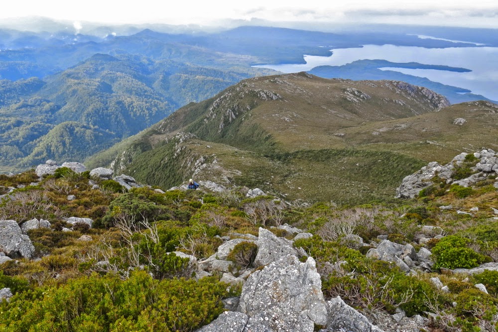
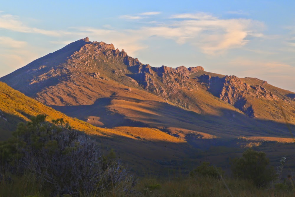
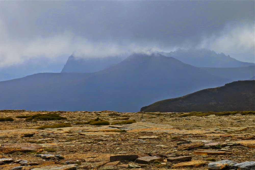
A view from higher still … but there’s still plenty left to do.

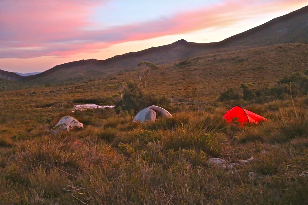
Down below, Andrew and Terry had no leeches, but were fully occupied digging trenches and sticking holes in the metaphorical dykes to prevent the water flooding their tents. When Mark and I found that out next day, we were very glad to have camped on “Sorell heights” rather than the more protected bowl below. My tent changed shape dramatically with each blasting gust of wind, but that’s better than digging trenches in a storm.
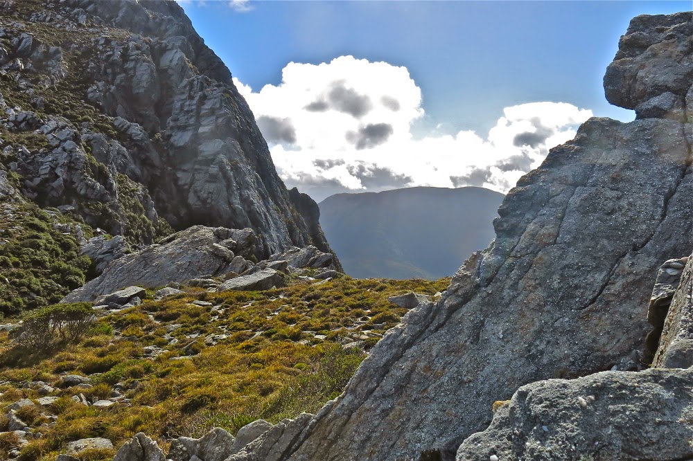
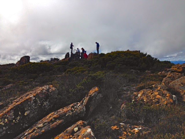
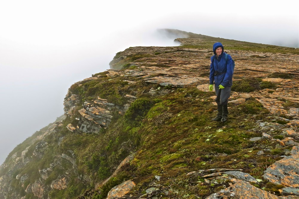
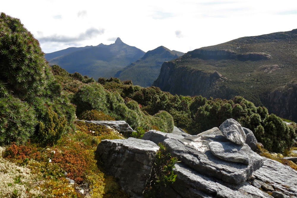
The final saddle on the ridgeline before the summit. use that little bit on the left to climb and we’re there.

In order to make sure of the summit, our departure time was set at a sensible 7 a.m., and, as it was to be a 12-hour day, this was a good thing. We breakfasted in the dark, and set out at first light, through the wet scrub of the lower slopes. Up we climbed. It seemed pretty steep, but the experienced Terry and Andrew told us “we ain’t seen nothing yet”. OK. Mental reorientation. Soon enough we entered what they called the “tunnel of love”. This had taken them hours and hours to forge on that first, momentous trip. Now, thanks to their work, we were able with little effort to burrow through what would normally be energy-sapping, almost debilitating and demoralising scrub. One look to left, right or above and you appreciated the time and effort that had gone into this tunnel. Soon, they said, the hard work would begin. Pity. I had thought I was working pretty hard already. Then began talk of exposed rocks. Oh dear. What was this day going to bring?
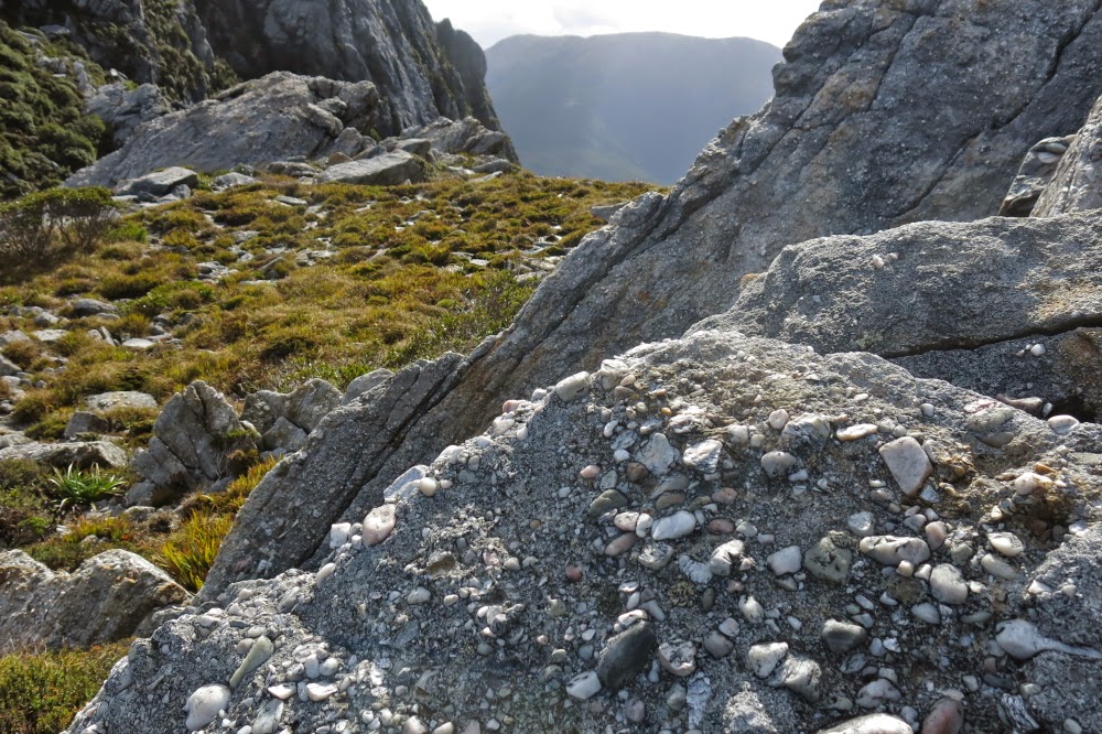
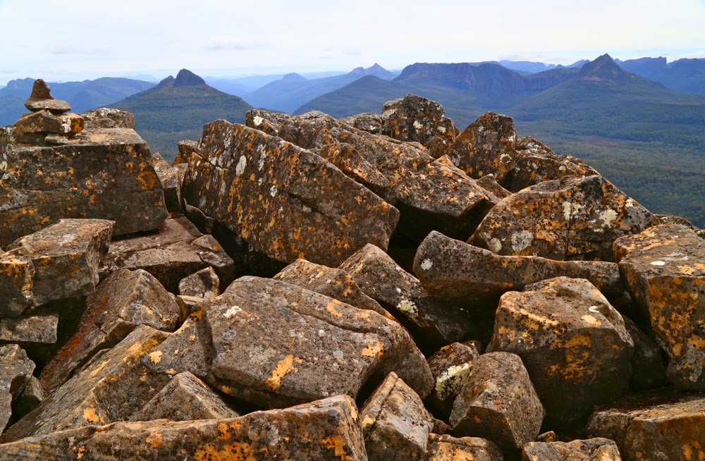
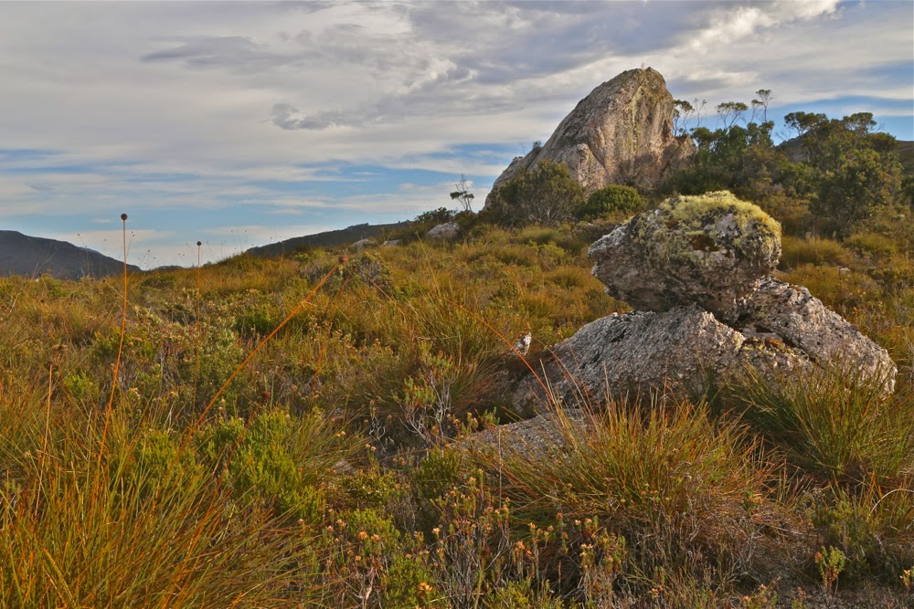
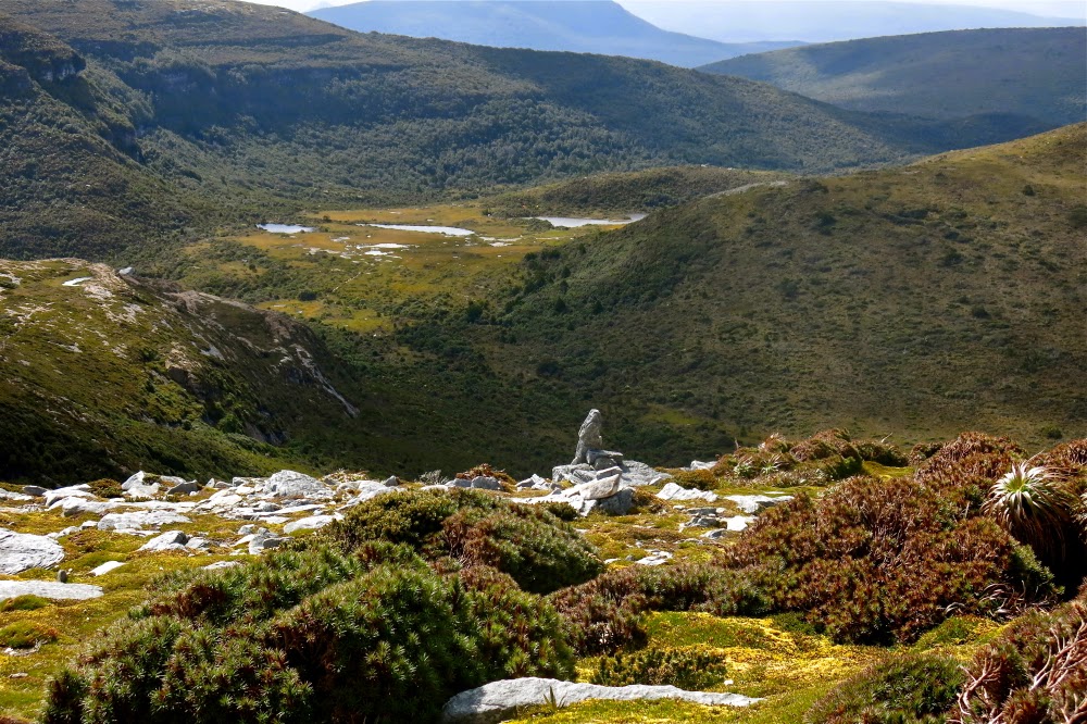
Another view of the final saddle … just because I love the texture and form of rocks

Towards the end of the tunnel, we began to enter territory so steep that the next step involved hauls up 2 ms of slippery mud or sheer rock. I tugged for all I was worth on roots or bushes but sometimes that wasn’t enough. At least five times, I needed Mark’s friendly hand offered to give my muscles that extra oomph to ascend the otherwise unascendable. Oh dear. Frailty, thy name is woman. I could do nothing about it but be grateful that these guys had invited me along. Did they realise I’d need occasional help?
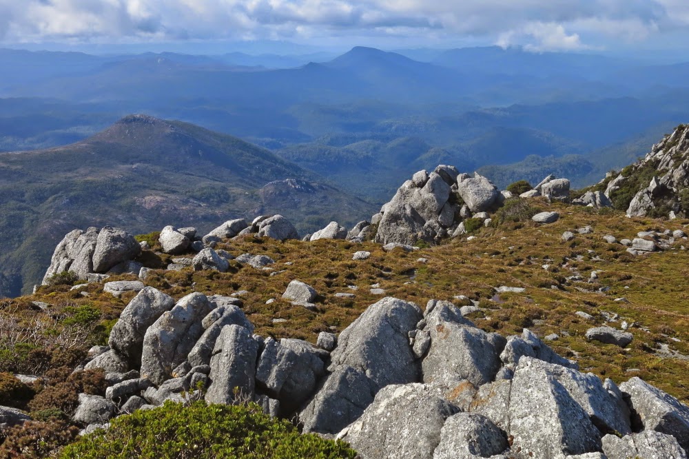
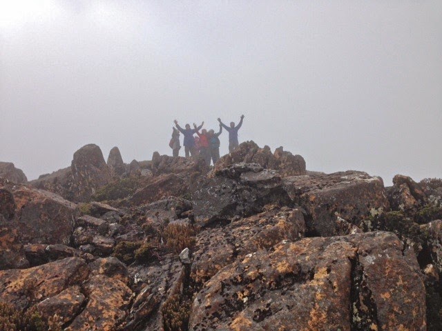
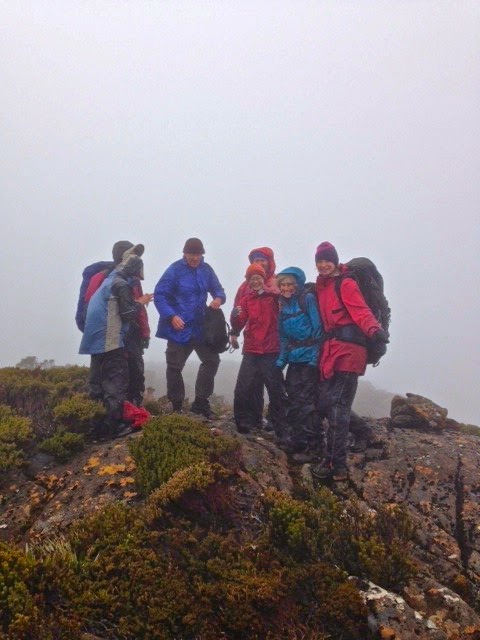
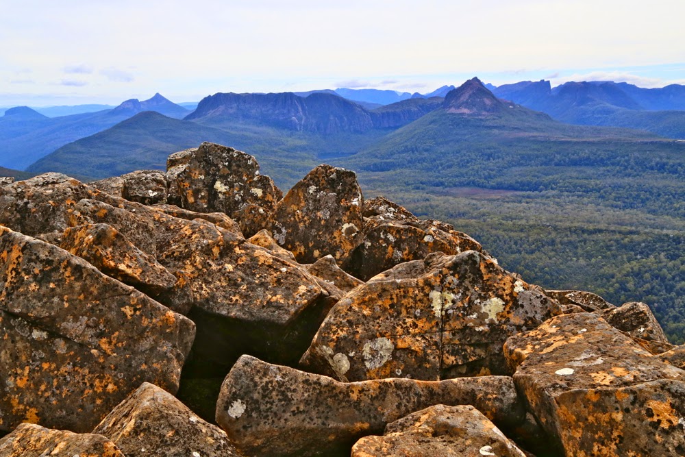
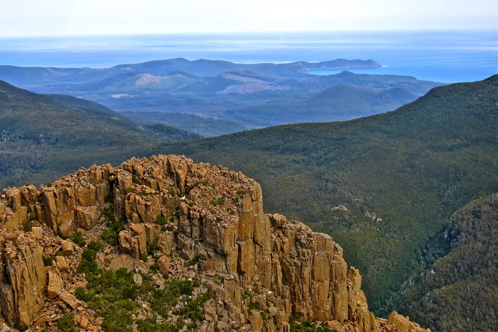
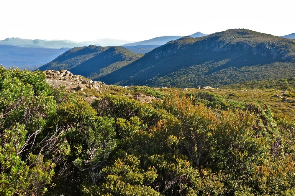
Summit view of the land below. (Grand vistas were, unfortunately, not well delineated thanks to the abundance of moisture in the air).

I don’t have many photos. We were very task-oriented that morning. Our goal was the summit, and the only breaks were one toilet stop for two men (whew, a chance to take photos for me) and one stop for shedding a layer (more photos for me). Apart from that, it was purposeful progress directed towards the summit. Once we breasted the ridge, with about 1.25 kms remaining to traverse the tops to the actual summit, the going was, of course, easier, and then there was a tiny climb (144 metres) up the last, pretty easy slope.
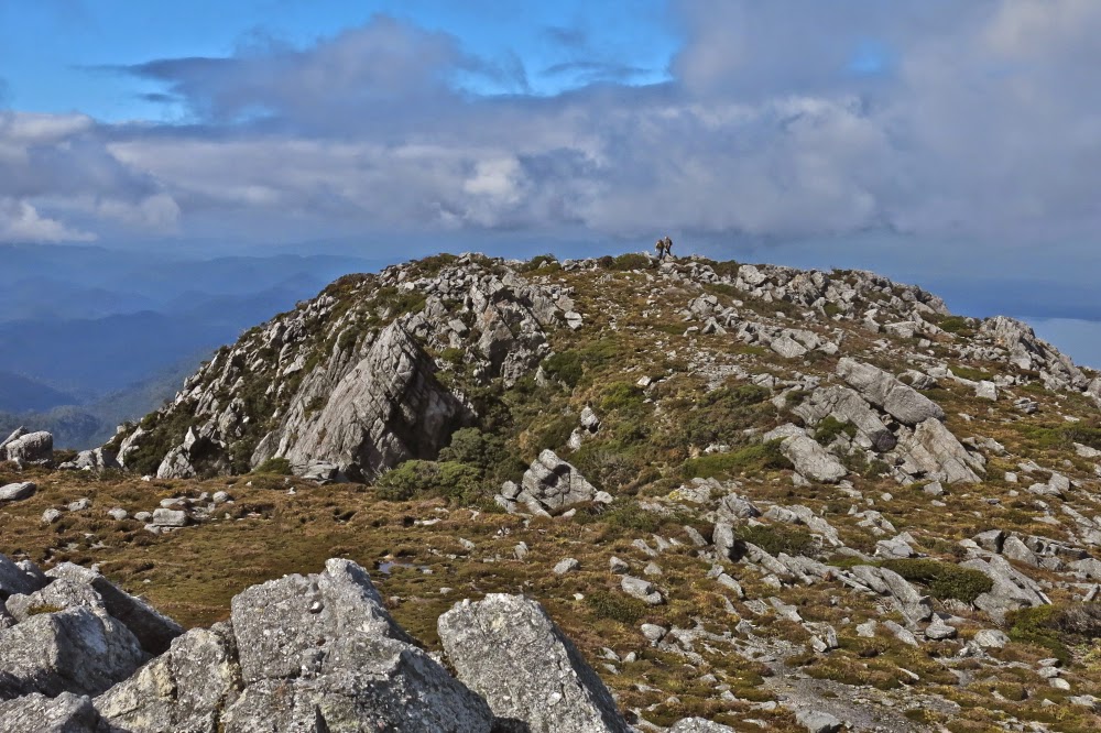
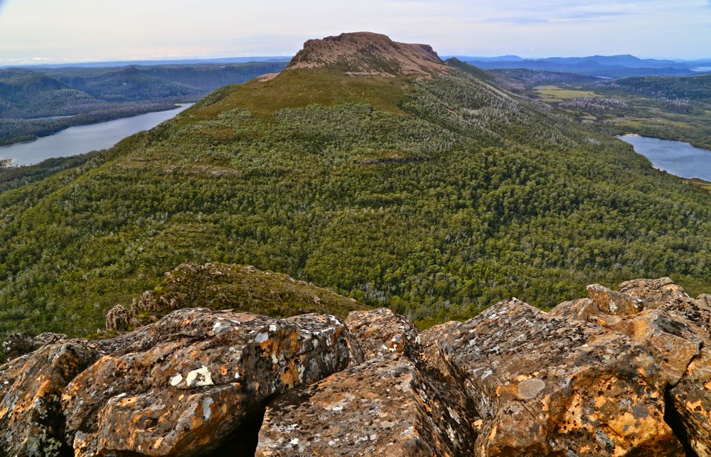
Two of the others approaching the actual summit from a rise that I had thought, whilst climbing, would be the real summit. I love photos that put tiny humans into the perspective of the grandeur of nature. 

I went right of a creek, the others set out left. The sun was in my eyes so I could see very little and lost track of whether the others had crossed over to my route or had remained left. I couldn’t see them, and no longer knew if they were ahead or behind, but figured we’d connect with each other on the summit. With excitement I viewed the trig, but didn’t go any closer than twenty metres to it. Terry and Andrew had forged the track. Without Mark’s hands I would not be where I was. I wanted to be the last to touch the actual goal of all this effort. I was the one who had done the least. I wasn’t even sure how or why I had been invited, but I did know I was exceptionally grateful.
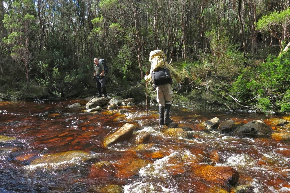
Crossing Clark River on our return

It took us four hours from the tent to the summit. We had time there to indulge in photos and food before we began our descent, but even then, we didn’t waste too much time. Our goal was won, but our job was not yet done. This was to be a big day. Luckily, the bum slide down the mountain was very quick: a mere two hours of pretty good fun, which meant we could relax a tiny bit to eat lunch and pack up our tents before the next stint of climbing back up to the Darwin ridgeline and dropping way, way down to the cars at the start, a trip that would take us 3 hours plus a couple of stops. The river had flooded a bit overnight, so some time was lost sorting out the best crossing point. I just wanted to keep my camera and sleeping bag dry (translated: I didn’t want to fall in) and was prepared to get my feet very wet in order to prevent toppling in a misguided attempt to be fancy by trying keeping my shoes dry. My boots were sodden and made rude, slushing noises for the rest of the trip.
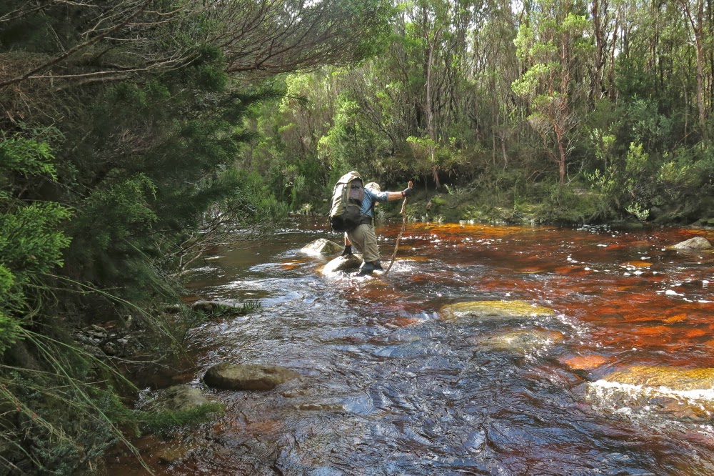
This is the way I, too, chose to cross: maximum water logging, minimum risk of falling. I didn’t want to leap across slimy rocks.

At last we got to the cars, made it to Queenstown to find all opportunities for real food had already closed, so settled for a meat pie to fortify us for the very long trip home. I drove to the “wild life highway”, and Terry did the rest. I tried to stay awake for his sake, but rather fear my talk sounded like that of an inebriated fool – slurred and not terribly sensible. I was aware of dropping off mid sentence at times, possibly with increasing frequency as the time snuck over the midnight barrier. We pulled in at something near 1 a.m. The dinner Bruce had made, hoping for an earlier arrival, smelled good. I don’t often have midnight feasts, but succumbed this time.
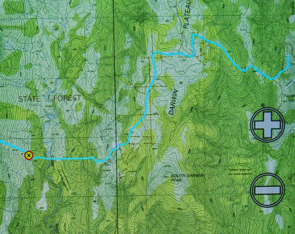
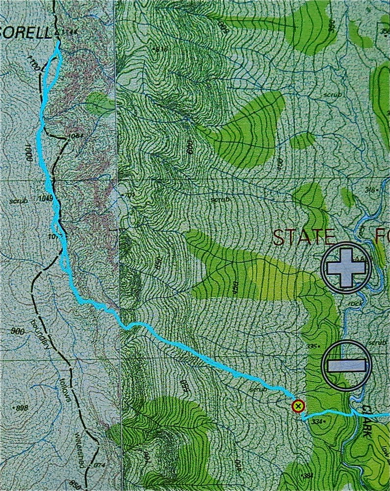
This is our route from the car to the tent site (and return later the next day


And this is our route from the tent site (waypoint) to the summit return. You will note that the contour lines are so close together they just make a brown smudge on the map.
Track data: All up, just on Sunday, we walked 17.8 kms, and climbed (and dropped) 824 ms + 467 ms. This yields a total of 30.7 km equivalents for the day.


Shakespeare, Darkes Peak Mar 2015

Mt Shakespeare and Darkes Peak

 At 3 a.m. during the night before we were due to summit Mt Shakespeare, I looked back on the day just past and imagined the moment that awaited: standing on the summit of our goal. I imagined looking with pleasure left and right at an amazing group of tenacious, strong, fit and gutsy people – people gritty enough to brave all kinds of hardships to be in that spot just for the pleasure of being there, of seeing whatever there might be to see (probably nothing), of being in the wilderness and of knowing that we now knew this particular mountain intimately.
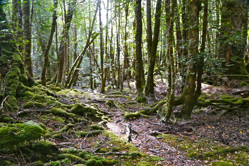
The rain began a bit before we did: lightly at first – just drizzle – but maturing into serious droplets as we climbed through the glistening rainforest, gaining hundreds of metres of altitude as we advanced. Spirits were high. We agreed the rainforest looked glorious in its shining patina and were undaunted by the moisture now covering our gear.

The first four photos are taken during the easy, rainforest section on the way up to Wylds Craig. Thereafter I was too cold and wet to get out my camera, and on day 2 my camera wouldn’t work. Thanks ever so much to Monika who has helped me out with summit (and other) shots from the post-rainforest sections.

By the time we had reached 1200ms, just under the summit of Wylds Craig and ready to hive off northish along the spur (after two hours’ walking), the mist enshrouded us, obfuscating all features in the landscape. Our belief in the existence of a spur was a case of faith based on map evidence. There was no visible presence. My compass had a huge bubble and said that all directions were north. I ditched it. Others were to hand.
The spur was thickly bushed, with rocky knolls like giant warts along its spine. The wind from the west was fierce. We tried skirting the first apophysis to the east to evade the wind chill factor which was now making us unpleasantly cold. (The rain continued). Going over was impossible – or, more correctly, impossibly slow and dangerous, which amounts to the same thing. Unwillingly, we admitted that the bush on the leeward side was too dense. Wind was better than impenetrable scrub. Back we went and gritted our teeth for the blast, round “knoll one” which, even at nil distance, was a featureless dark blur in the grey.

 For one and a quarter hours we laboured along the ridge, drenched, prickled, buffeted, bashed by unresisting bushes until we were at last beyond Cunninghams Knoll.  The Ables book offers two alternative routes from here. The group voted for the more direct of the two (alas: don’t follow suit if you want a happy day). For a further one and three quarter hours we fought adamantine shrub, trying unsuccessfully to force our way through first here, then there, but the branches allowed no passage. We perhaps jokingly toyed with swimming once we were at the smaller lake: we couldn’t get any wetter. It was a ghastly battle and any possible victory would, at best, be a pyrrhic one. We were at least offered some possible relief for the return trip, however, as just as we crossed the creek separating upper and lower lakes, we spotted a cairn: hopefully it would lead us to a pad that was less frustrating and speedier than our way here. I was sure we had lost an hour in this battle.

For now, however, it was 5.40; the day was finished and it was time to pitch the tents in the continuing rain and slough off our sodden layers of weighty, smelly clothes. I sat in my vestibule, shedding, shivering, trying not to get moisture near the inner sanctum. Brrrr. The worst was, these were the very despicable clothes I would have to wear on the morrow. My friends, each in their own little tents nearby, were doing the same (with suitable sound effects). We all dreaded the moment thirteen hours from then when these loathsome items would be donned once more.
****
But now, in the middle of the night, I lay snug and warm and cozy in my fluffy down bag, floating on a cushion of soft alpine plants, listening to the rain pattering against the tent and the wind howling above us. What a tough gang I was with. I knew there would be only one dissenting voice in the morning, resisting the pull of the summit (not strongly) and I was right.


Sorting out map details is a real pleasure in these conditions

Horrid as the next day was, there we all were at 7.30, battle gear on, ready to tackle the theoretical mountain to the NE. She even came to say a brief “hello”. There would be no photos for me today: my camera had got waterlogged the day before. I would just concentrate on survival and summitting. I was not feeling at all well.
Through more scrub we went, finding the odd wombat pad to help us, until we reached the magnificent myrtles of the saddle area. I had led us from the tents to this point, but handed over here to Andrew who had a compass. The mountain had once more vanished. He did a great job.

Hoorah, the summit

Our leader chose to attack the summit via the rocky ridge (which is the route indicated in the book), so up we all went, hauling ourselves up huge slippery (mossy) boulders, fortified by thick prickly bushes between. At one stage, we were all horrified to see Colin, who had forged on ahead, hurtling down a four metre cliff head first. We all feared / assumed we were watching death at the worst, serious breakages at the best. Somehow he flipped at the moment before landing to come to a halt in a bush, landing on his derrière: possibly the first time in history that scoparia prickles in the bum have been preferred to other alternatives on offer.  His face showed the astonishment we felt when he realised he had emerged unscathed.
On we proceeded to crest a knoll that wasn’t the summit. I could visualise the map without needing to turn my screen on. Blast. We still had a way to go. Down. Round. Up the gully with more spaced contours. Hoorah. And then, at long last – almost unbelievably – the summit.

Jubilant summiters

In my dream it had been sheer jubilation and admiration for my companions. In reality, relief was added to the mix. We hugged and thanked each other for a team effort, took happy summit shots and quitted the scene which offered no vista and a dose of wind. It can get worse. The way back was much faster as we eschewed the ridge.
Back at my tent, I felt exhausted: I must have a bug in my system. We’d only been going nearly five hours at this stage. I dismally stared down the barrel at a possible further five to get out via Darkes Peak (walking time only), and began dismantling my little home.

On Darkes Peak. Pretty dark, huh?

This time we found the pad which saved us the hour I had thought it would (48 up; 1 hr 45 down). From where we emerged, Darkes Peak was a mere 12 mins up, 9 down. It now remained to plod out the section that had taken us three and a quarter hours on the approach. We were tired, but eventually we closed off our long, hard day twelve hours after we had begun it. How lucky I am to have companions who are happy to do this sort of thing with me.

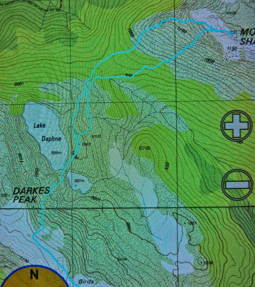
GPS track of the two important sections. (1) We went up Shakespeare by the ridge; I advise using our descent route which was WAY better. (2) I was saving battery, so did not track our route down to Lake Daphne, but here, tracked, is the route with a pad that is an hour faster than our route which left the ridge earlier and angled across more. Coming from the ridge, the top is not marked, but it emerges just before a rocky knoll, the last little rocky knoll that exists before you start ascending Darkes Peak (where we changed direction above). We left our packs at the knoll and summitted from there (untracked). 

GPS data: we walked 15 km equivalents on day 1 (100ms altitude gain = 1 km equ); on day 2, we did 30 km equivalents, most of which was through thick scrub. No wonder we were tired!

Byron 2015 Mar

Mt Byron Mar 2015 
The reason I climb mountains is because I love being up high (I also love climbing trees); I adore the physical act of climbing, and my soul delights in being with nature and gazing at sublime infinitude.

I am also, however, a task-oriented person, who likes to achieve the goal for the day. After two failed attempts at the summit of Byron in as many tries on club walks, it was time to be my own boss. I wanted success this time. I’d look up how many points I got some time or other. The summit was my goal.
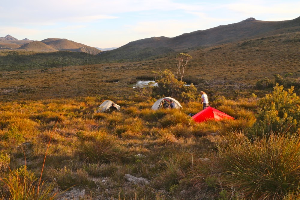
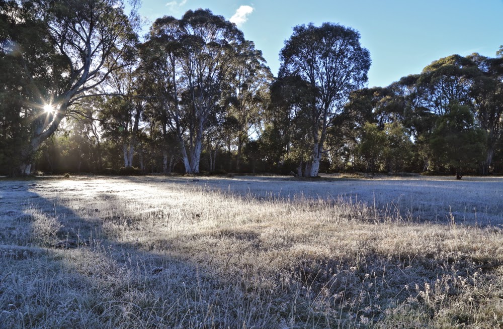
First official day of autumn. Frost says “Good”.
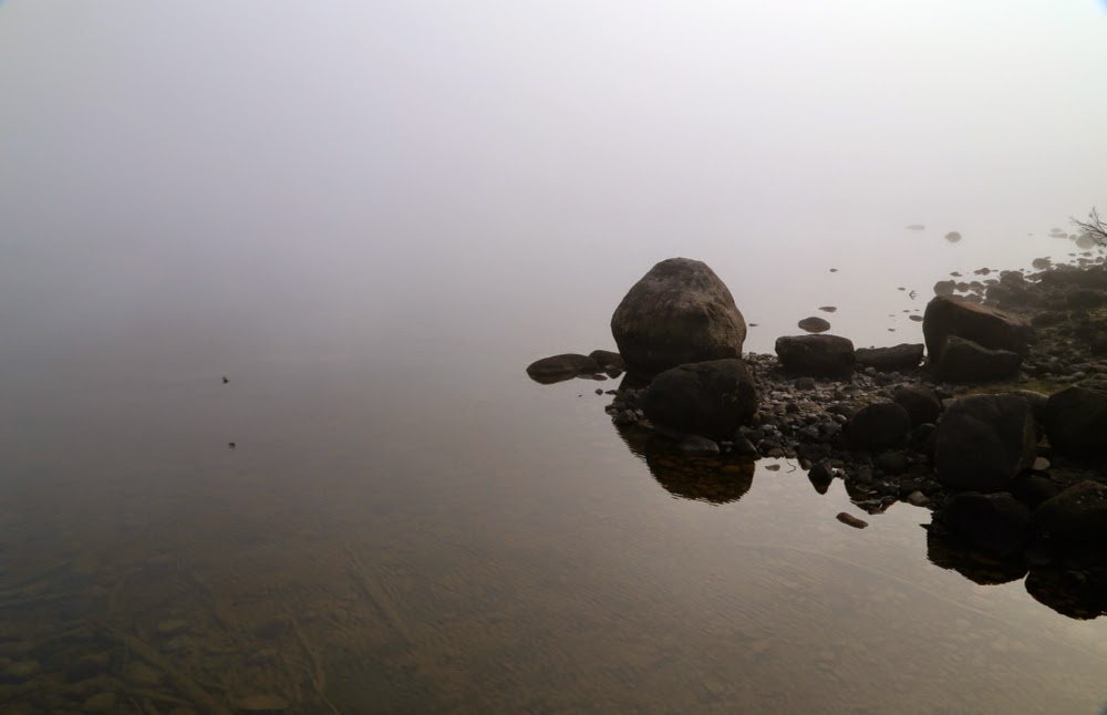
The trip to the ferry “threatened” to be the highlight of the day. Sunrise was magnificent as I drove up the Poatina Rd to the central highland; on top, autumn announced its arrival with glorious patches of sparkling frost. Lake St Clair (Leeawuleena – magnificent name) was shrouded in mist. It was going to be a gorgeous day. A temporary dampener, however, was put on matters when Steve, the cheery, affable ferry driver, informed me that he was finishing up at the end of the week. I wonder if his employers understand what an amazing asset they’re losing. Steve’s friendly and knowledgeable trips have come to be a grand entree to every expedition in the area, aiding in the excitement of each venture.
You don’t replace someone like that easily: a new ferry driver, sure, but an asset like Steve … ever?

Leeawuleena (Lake St Clair).
I love the forest lining Leeawuleena – always so rich, lush and vivid in its greenness. Happily I strode out, staring intermittently up at my mountain, and at all the old friends that surrounded my journey. Unfortunately the atmospheric mist had already evaporated. It took 17 mins to the turn off; and 59 more up to the top of the Byron gap, where the real work would begin. This is the third time I have walked this “track”, yet I managed to dream my way off it twice on this trip. Fortunately, the first time was right near the start, so I turned on my gps tracker in case I should need it on the way back down. The black dashed line for track on the map bore no resemblance whatsoever to the track I was marking. I was glad that I wasn’t trying to navigate myself to the line on the map for safety.

Paths like this require constant attention to stay on them.
After the gap, I had to make my own way to the top. There was talk of a cairned route if you happened upon it. I didn’t, so nosed my way to my left through pretty thick scrub and along a rather precipitous cliff-ledge until I came to a promising looking gully leading upwards. Happily, my map indicated that this could be followed to the final summit mound (which would hopefully not be fortified by more unmapped cliffs. One never knows on maps that don’t back up photogrammetry with cartography). The map certainly didn’t tell me that the rocks comprising this backdoor entrance were wash-machine size, with some heaving needed sometimes to get to the next layer. I began to worry about the return journey and the still existing possibility of getting trapped with no retreat reasonable. I hankered after a nice easy cairned route. I sensed the effects of adrenalin.

Byron’s pandani forests are a delight
The mound ahead looked as if it could contain the summit, but I didn’t dare invest too much hope in this. Too often such mounds lead to a view of the next, higher one. This one, however, offered my approaching form a sighting of three little rocks perched atop one another. I had made it.

Looking at Manfred, Horizontal Hill, Guardians, Gould, Geryon et al
I actually felt nauseous with anxiety, as the descent still lay before me. I didn’t linger on top like I normally do, just in case I needed lots of time to find a way down. Besides, lunchtime hadn’t quite arrived yet. I took photos and then set out to try my luck on the return journey. This time was different. I happened on a cairn on my chosen early section, and one cairn led to another. Eureka. This route was SO easy. It was 30 mins faster than my way up – most unusual for me. I usually ascend faster than I drop, due to my eagerness to see the top and my hatred of stopping before I’m there. I am not normally happy to leave, so dawdle a bit.

View to Horizontal Hill, Guardians, Gould, Geryon and more
In the safety of the saddle, all work behind me, I enjoyed my lunch, looking out at Frenchmans Cap.  I was easily in time for the afternoon ferry, except that it had been cancelled. I was the only customer. Now began the long walk home. No matter. The forest is wonderful. I slotted into my rhythm, walking and singing my way through fairyland back to the visitor centre, where I enjoyed a delicious veggie curry before embarking on the drive home in the fading light, shooing countless conferences of wallabies, all sitting erect in the middle of the road chatting, unwilling to have their colloquies interrupted by a mere vehicle. I stopped to let each group finish its important discussion. My speed ranged from 0 to 50 km.p.h in deference to their need to converse on dirt road.

An unusual perspective on Olympus, with Leeawuleena and Lale Petrarch balanced on its outstretched arms.
The challenges of the day, apart from driving, climbing, and avoiding garrulous marsupials, involved walking 36.5 “kilometre equivalents” (where 100 ms climbed = 1 km equiv). Quite an active day.

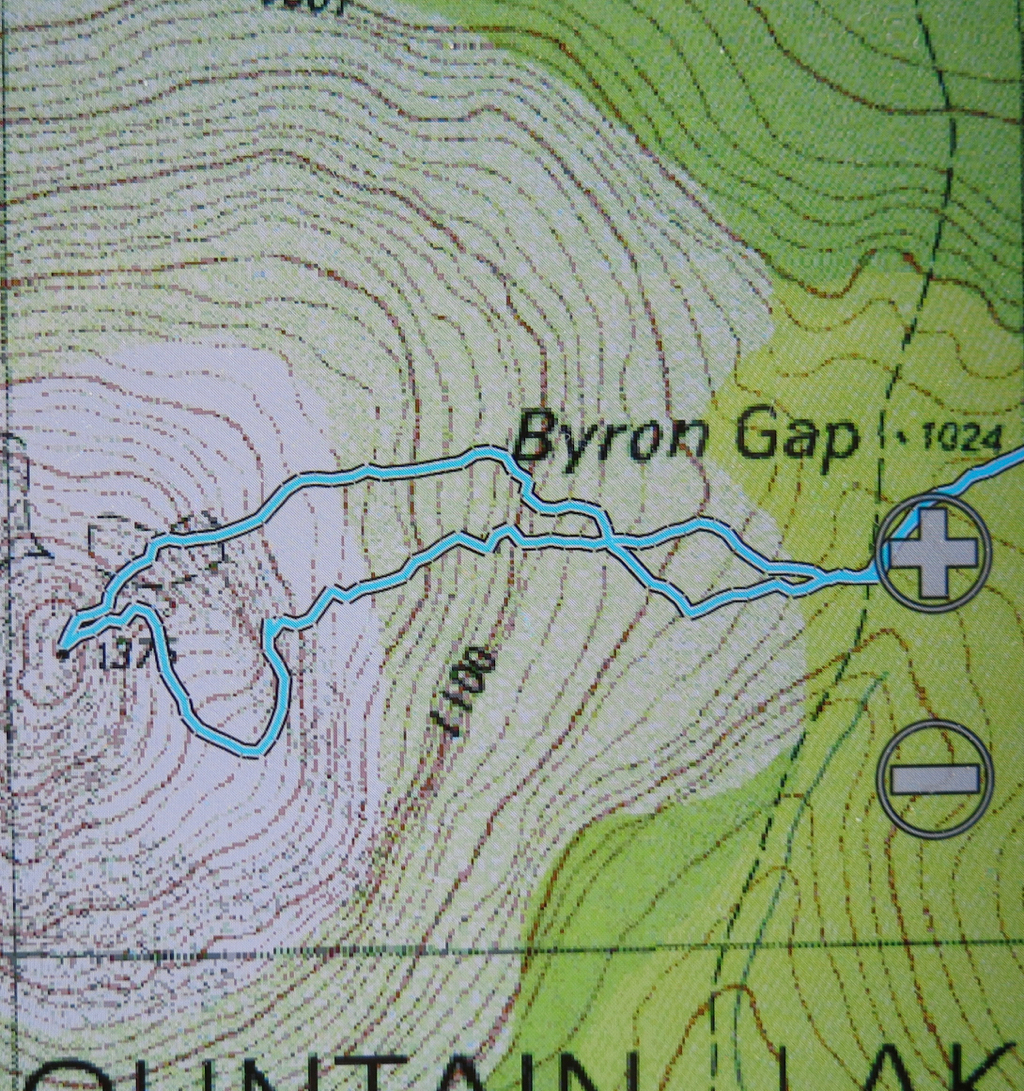
The more southerly route is me fumbling my way to the top, edging around cliffs. The northern one is the cairned route. which I happened upon up the top.

Stepped Hills 2015 Feb

Stepped Hills 2015 i Feb. Failed attempt

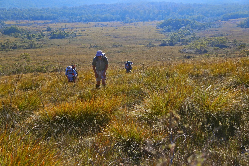
Up they climb
What is it about some mountains that incites in us a “must climb” response? Is it the shape? The myths and tales that surround it, adding mystery and allure? With regard to Stepped Hills, it is certainly not the name: “Stepped” may well be descriptive, but “hills” is an insult. For me in this case, it was definitely the shape, and the shadows cast on its striated layers the first time I saw it. Perhaps also it was the enormity of the Gordon Gorge that guards its southern flank, announcing the impossibility of approaching from where I stood. I saw it from Clear Hill (also not a hill) and wanted to be there. I saw it when I climbed the Thumbs and wanted to be there. It was always so near and yet so very far with its gulchy uncrossable moat. But here I stood at last with five friends, ready to tackle her despite the forecast of a scorcher. I was full of eager anticipation, although wary of the enormous climb in heat like we had been promised.

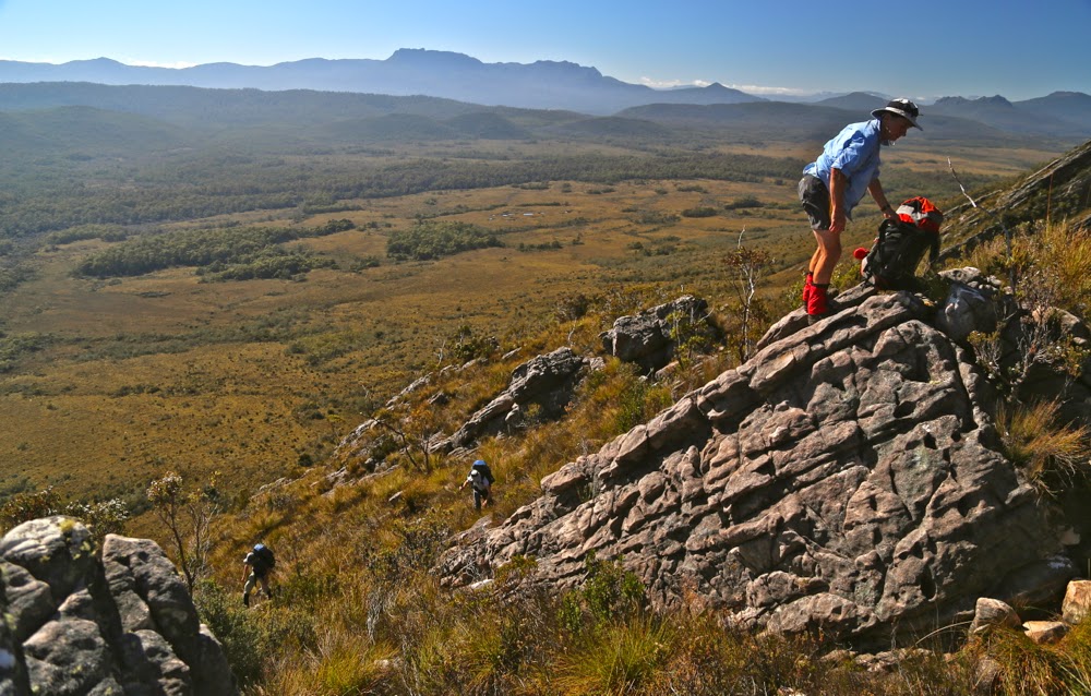
A well-deserved pause

Off we set at 7.15 from the carpark. Over the Gordon we went, knowing we’d want a swim at the other end of our journey. At last we were at the business end of things, staring from down in the golden valley up at Mt Wright which guards our goal from the east. First, we had to climb her and descend the other side before we could begin the quest in earnest. Wright belies her ruthless steepness when viewed from the valley below, but I know the reality of her slope and so had kept my pack as light as possible (which did not include forgoing the pleasure I get from having my full-frame camera on board). I was, however, only carrying 600 mls of water at this stage, planning on getting another 600 at the creek I knew we’d cross about an hour from the car. This creek, for me, acts as the start of the business end of the climb – the hand pulling on tufts of grass and bushes, feet at decidedly acute angle to leg, tripping over contour lines type of climb that one engages in on Wright.

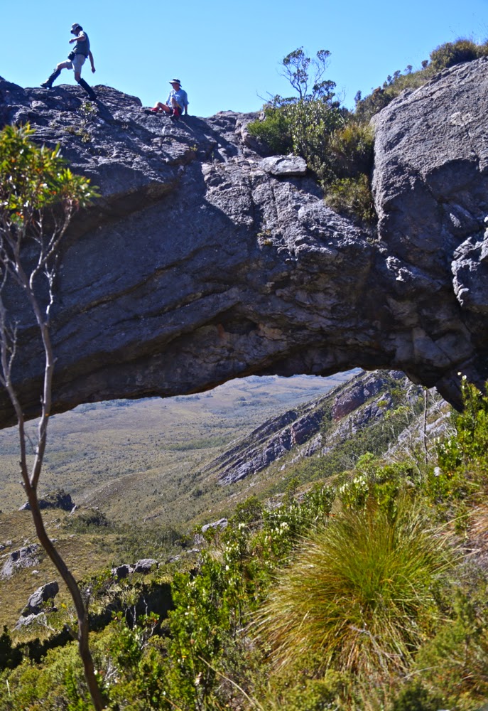
Playing at the arch while we wait for the others

Everyone wanted to stop at “table top rock”, but I wanted to check on the creek a tad further up before I had a break: I had been most disconcerted to note a desiccated tarn shortly after leaving the Rasselas track. I said I’d meet the others there. Dismay. The channel of gurgling bouncing waters that had threatened to soak my boots in December was nothing but dust and brown moss today. Oh dear. Mt Wright with a full overnight pack, including tent and stove and fuel, on 600 mls water. Better save my precious drops for later and just watch others drinking right now. I know myself well enough to know that I can survive under these conditions. Please don’t try to copy: I’m a freak. Possibly being a little like a spider helps (minimum torso, long limbs – good surface area for reducing heat, and no fat to insulate it).

View through the arch

Up to the arch we went, with me conserving energy by going nowhere near my aerobic threshold, keeping my heart rate low. The arch provided a welcoming band of strong shade which we would use to have a break in. The heat haze hadn’t developed yet, and the scenery was wonderful and crisp still. Everyone was coping well. Off we set again, this time to the highest point that we would go (5 mins short of the summit) and then down the other side on the rock scree to a point under a rocky knoll that offered the next section of dark shadow for an early lunch. Here I had my first drink – 300 mls. Meanwhile, to our enormous relief we could see two little circles of light far below where we were heading that signified water. Olay.

Beautiful light while climbing Stepped Hills, looking towards the mountains surrounding Lake Rhona.

Now began a challenging descent, made so not only by the brutal gradient, but exacerbated by the fact that the microwave-sized rocks were not stable, and every third one moved under you as you put weight on it, threatening a landslide. I was very tense as I negotiated this peril. Firstly, I had my very expensive camera attached to my chest, and secondly, I have a hand that is still officially broken, but whose protective covering has been reduced. This would not be a good moment to have a fall. When we stopped for a break about half way down, I realised I was stunningly tense, almost shaking, and the relief of relaxing my guard under the filtered shade of the gum trees was bliss. I had another 100 mls of water to celebrate.

Shadows elongate on The Thumbs during our return to camp

At last the dangerous section was over and we now only had to trudge through the long button grass to the tarn we’d seen from above. On the way we discovered a small soak that we could use to pour water over our heads and to quench our thirst. Wonderful. We drank greedily.

Dawn next day

Tents erected (with difficulty, actually. The button grass surrounding the tarn was very lumpy and the shorter grass above was prickly: I feared the bottom of my tent would be pierced, so pitched on pure rock); tiger snake warded off; day packs sorted and we were off with no real rest at all. We didn’t have the luxury of spare time for that. It was, alas, after 4 pm.

Looking back at Stepped Hills shortly after dawn 

Before we could start climbing Stepped Hills, we still had to drop into and cross a creek, so down we plunged, sliding down some interesting cliff lines. At the bottom lay a creek. We could hear running water. Oh joy unbounded. This creek was nothing short of divine. Never, never has water tasted so absolutely, miraculously wonderful, so full of life and so utterly refreshing. It cooled the body and revived the soul. We drank and drank and drank some more. We ditched the tepid tarn goo and drank some more again. The coolness was a magic wand. Now we could climb some more, but alas, the shadows were starting to lengthen, the light was adopting a golden hue.

A whole wilderness to oneself: my little tent in the vastness of the broad ridge

At 6.30 we were still 200 mts from the top. We could easily get there in the light, but the others were worried about the trip back and wanted to turn around. Certainly it had been a long, punishing day (just short of twelve hours at this stage). Our noble leader, full of guts and grit, was ignoring his spent body and ruling with his mind in his desire to continue to get the summit. Then he’d only be nine Abels short of a full set. I, too, was still wanting to summit. I know from orienteering night championships, and from several summits I’ve done with my husband at sunset, that I can navigate back to the tent in the dark with few problems, even steering a man with Parkinson’s without coming to grief. However, I was here with a fine bushwalker who is significantly larger than I am and who was looking the picture of quintessential exhaustion. If weariness got to him and he collapsed, I couldn’t carry him or move him to safety. He might take 40 mins more to the top and then another three hours back. Even more to the point, I was uncertain as to how much battery power I had left at this stage, and I do need light to navigate. I tried to imprint in my mind the angle between the tent and the summit of Wright, which I assumed I would be able to see by starlight if it came to the crunch. I know that it is not too bad traversing scrub once night vision kicks in if you take it at a sensible speed, but there were a lot of uncertainties in the equation I was forming. The problem was solved by D admitting reluctant defeat, so we all stood up and turned around. Stepped Hills will have to wait a bit more. I had still had a glorious day.

Breakfasting in the early light

Our goal was denied us, but we were all happy. We’d worked well under hard conditions; we’d enjoyed each other’s company and delighted in the wonderful wilderness around us. We were contented as we ate our meals in the fading light, watching moonset to the left, the rise of the evening star to the right, and the increasing glitter as the Milky Way did its sparkler thing above. I felt a wonderful sense of peace.

I took a slight deviation for photographic purposes on the way back up Wright

I won’t say much about the climb back up and over Wight, which was enjoyable, as I want to leave space to tell of the final half hour of our journey: a swim in the Gordon River. I have lived here 26 years but dared my first swim in a Wild River (or any river, for that matter) on this trip. This is not because our amazing wild rivers are ferocious, but because I am a wimp. I am president, secretary and treasurer of the certified wuss club, and I hate being cold. If I tell you I wore a merino icebreaker top the whole weekend (35 degrees in Hobart) does that not say it all?

Returning to the dumped packs after visiting the summit

Our wild rivers have an entire mythology surrounding them. They are truly magical, set mostly in pristine temperate rainforest of the lushest green possible. We have fought hard to save them from the clutches of edacious developers who can only interpret the signs of beauty with its translation into money and who seem to have no soul to understand anything ethereal. Just the names – such as Franklin or Murchison or Gordon – are enough to evoke a frisson of delight. The Gordon is no longer wild, thanks to conservationists losing the first battle of the war, but the upper reaches are still untouched and are very special places to witness. To be fully immersed in such water, to feel its lenifying coolness and taste its sweetness is superb. My friend sat there and drank the water she was swimming in, delighting in the fact that she could do so. Petals from a leatherwood tree floated past. What a perfect end to our adventure. Thanks to a moving rock on the way back up Wright, I had a bruised and bashed body (camera fine, don’t worry), but now my spirits sang with delight. What a great thing it is to be alive and to have the Tasmanian wilderness to be alive in.
For the records, we climbed 700 ms up Wright (in a very short distance), dropped 465 ms; climbed a further 265, dropped the same and then climbed another 100 back to the tents on the first day.

Southern Ranges 2015 Alexandra, Hippo, Lake Mt, Knife Mt, Maxwell Ra, La Perouse

Southern Ranges 6-9 Feb 2015

The Southern Ranges and I don’t have what might be termed a “good relationship”. Here’s where we stand:
Trip 1: with my husband. Blown off the range by winds that sounded like a dozen steam trains.
Trip 2: cancelled due to foul weather before it began.
Trip 3: Nov – nearly summer – but we were attacked by a vigorous blizzard. Everything looked beautiful decked in white but we climbed nothing meaningful in winds gusting over 100 kph
Trip 4: cancelled due to bad weather
Trip 5: I bailed out as the promised storms would have drenched the pins holding my hand together that were not allowed to get wet. The group that went in climbed only one mountain and spent most of the time hoping for better things.
Trip 6. This trip. Could I maintain my unblemished record of atrocious weather? Time would tell.

Friday. Off we set with blue skies … through the enchanted rainforest, ever upwards, climbing steeply from nearly sea level to a height where forest cedes to scrub and thence – at last – to alpine meadows and gardens. Some call it Heidi country; others harken to the Sound of Music. Up here, the air is clear, the vistas vast, the grass is verdant and the cushion plants a magic, lush green that quenches your thirst just looking at it. An array of other mountains cozens, and to the south the sea calls, beaches and waves visible even from this height. Down there and along some more is Antarctica. The path does descend intermittently into scoparia and bauera but not for long, and there is a way through: you’re not bashing your route.

Some members of our group were unwell and feeling the heat badly, so it was with joy all round that we finished the day and set up camp on Moores Bridge, which emanates from the northern belly of hill 3 and leads roughly north in the direction of Mt Alexandra. The sun was still stinging our faces as we ate dinner together later, but that could hardly attenuate our joy at such beautiful surroundings. As sunset reddened the sky, we abandoned our circle of happy chatter to photograph the marvellous light.

Close of Day 1: Enjoying dinner together
Evening falls

Saturday brought another glorious day and off the healthy three quarters of our group set for our first goal, Mt Alexandra. There were some small patches of scrub, but mostly this was a delightful amble along a high rounded ridge that joined our goal to Moonlight Ridge (with a couple of minor twists). Views were as extensive as our spirits were high and we walked gazing at an infinitude of beauty. Federation Peak said a very clear “Hello”. The actual summit of Alexandra was mildly fortified with scrub, but nothing too bad on a relative scale, and it was exciting to at last be on a real summit in this area that had closed its doors to me for so long.

The day was parchingly hot, and the unwell members of our party had not improved in our absence. They elected to stay put, so after lunch back at base a reduced group packed up tents to move to Pigsty Ponds. We three girls were very keen to climb The Hippo, so hived off from the male remainder of the group in the saddle between Hills 3 and 4, exchanging our laden rucksacks for daypacks. This quartet had bagged The Hippo long ago, so continued on to Reservoir Lakes, planning to meet us there. We contoured around to pick up the ridge (above Agnetes Garden) leading out to our goal. The Hippo might not be the highest mountain on the planet (or even in the state), but it sure has a dramatic look to it, and it has been evading me for a long time. At last I was standing on top of it with excited friends. Geoff, who had generously offered to stay the night with the suffering in ‘camp 1’ had come directly from there, but we had all converged before the final assault up the chute. This mountain was, for me, the highlight. It is the most “climby” of any mountains that we did, and it was from here that we got the best views of the trip. That said, the view out to sea was not perfectly clear: the area was preparing itself for the kind of conditions I was more accustomed to.
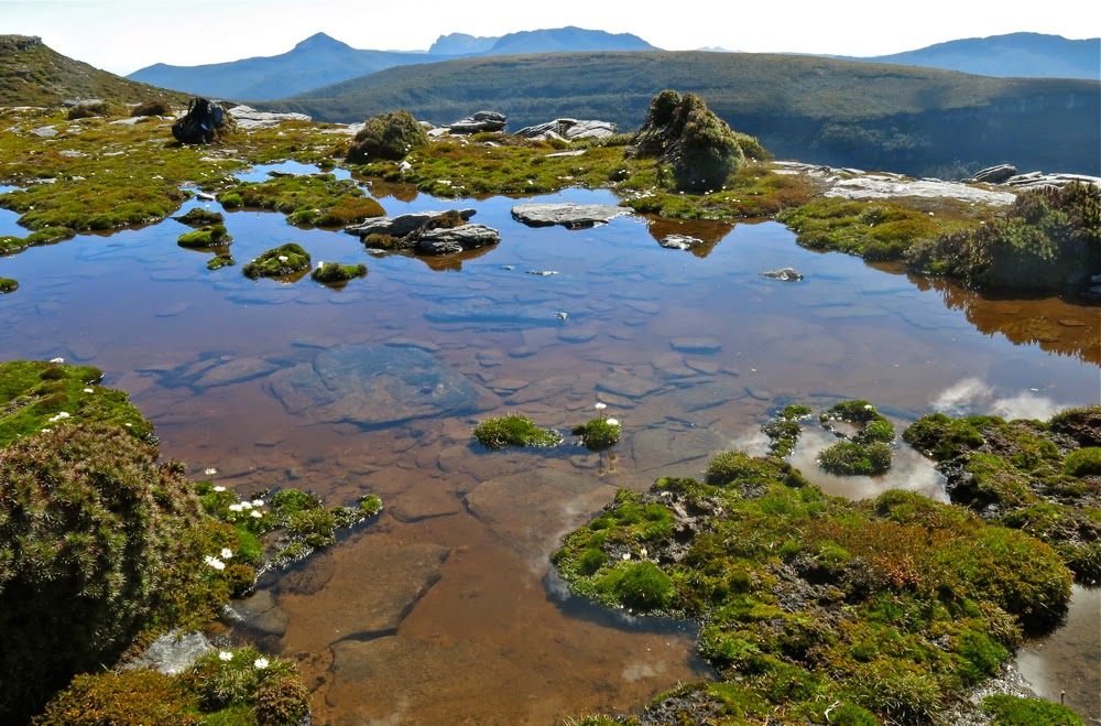
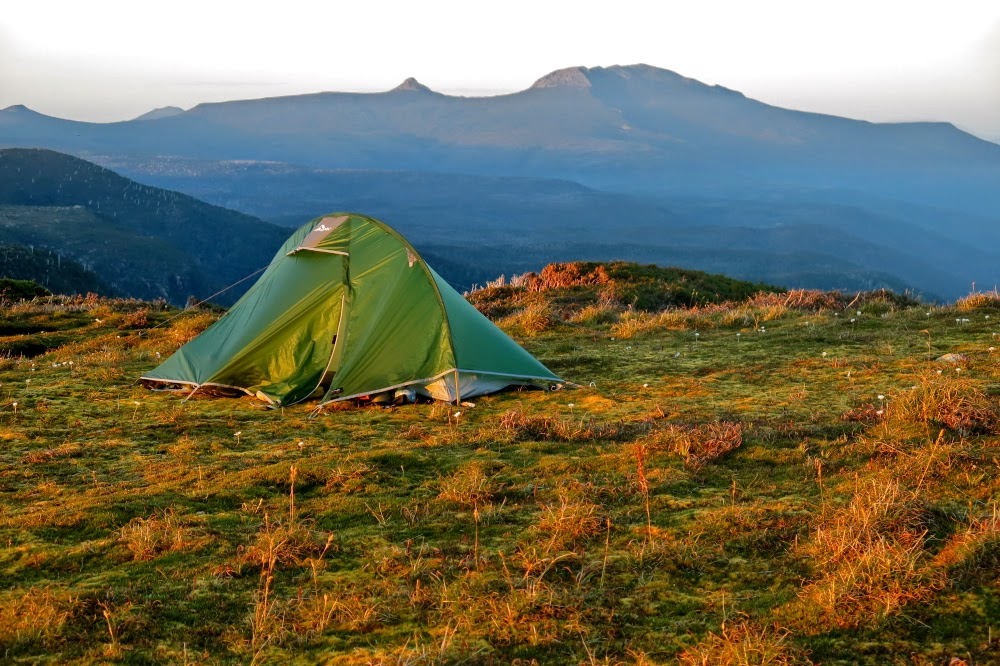
Mt Alexandra from a knob we inventively named “Alexandra south”

At last we three girls reached Pigsty Ponds, satisfied but tired. The Alexandra excursion had involved 3 hrs 40 walking plus stops. The Hippo was 50 mins from the saddle and 1 hr 10 back, and in addition we’d walked from camp. The total was only 5 mins short of 7 hours walking, to which breaks are then added. It was meal time; we looked down at where the guys were camped way below and resented the possible loss of precious contours; we looked at the thick bush we’d have to bash through and felt fatigued. We didn’t want to do any more and we did want to eat right now. Besides, we thought Pigsty Ponds was a beautiful area, replete as it was with glowing tarns in the evening light. We called out to the guys below that we wanted to camp up there. Sweetly, Rohan and Paul came up to show us a less bashy way down, but we had made up our minds and they were cool with our decision so chatted a while while we pitched and then parted for the night. The wind picked up while we cooked our eagerly-awaited dehy’d concoctions.

Geoff climbs the final part of The Hippo

On Sunday morning, the promised rain and wind had arrived in force. I awoke later than intended, heard the beating rain and called out to the others that it would be very nice to stay in bed longer and climb later. They agreed. We lay in our bags chatting and laughing across zipped tents.

The view south from The Hippo

“Oh no”, I cried as I heard the sound of the guys punctually arriving at 8, ready to begin our jaunt and expecting us to be ready. With enormous good will they hung around while we got our act together as quickly as we could (we had at least eaten by this stage).

Playing with edges near the Maxwell Range High Point

I can’t tell you much about the route for this day: it was a case of burying my head from the weather and passively following the boots in front (usually Rohan’s). We had a quick drink at Ooze Lake and after another bit of a climb, departed the track and began the climb proper – a very easy one, with the only difficulty being the slashing wind that stung my wet hands. Funnily, when we arrived at a summit cairn, I was so lost in my world of cold that I thought we’d climbed Knife Mountain, but this was just Lake Mountain. We were here after 2 hrs 02 of walking (plus breaks). Another 32 mins of rock balancing and scrub pushing saw us arrive at Knife mountain. On both mountains I was too cold to take a photo. I’m hoping to get one from someone else to record my presence on top.

Surveying the drop with wind flapping clothes everywhere
Precipitous Bluff from Mt La Perouse

The drop back down to the track in the rainforest below was very quick indeed, ably led by Paul. It was great to eat an early lunch under the shelter of pandanis and giant, 4-metre high scoparia bushes (just how I like them. They have very beautiful bark).

On the descent of La Perouse it was satisfying to have the scene clear a little and see Knife Mountain there beside the more obvious Pindars Peak. We hadn’t seen a thing whilst climbing it.

The route back was much faster – not only because it was downhill except for going over Maxwell Range, but also because we were not climbing Lake Mountain, so took a direct line. We were, however, significantly delayed by beauty on the return journey. The path up Maxwell warmed us up marginally – well, enough to not be dying of the cold – and the strong wind on top was exhilarating in its wildness rather than threatening. We all thus elected to visit the actual Maxwell Range High Point. It was fabulous to stand on top, be buffeted by it, court disaster with the cliff edges and watch Paul’s overpants billow out hilariously as they became spinnaker-like under the force. Luckily they didn’t sail him over the precipice.

Looking down on Pigsty Ponds from the descent of La Perouse. Our tents are near the lake at centre, hidden in trees

At the La Perouse turnoff, we three girls once more opted to climb whilst the guys mostly opted for a quick exit. Again, they’d climbed this mountain before and were not tempted by the conditions to do it again right now. Tony, however, opining that action was more interesting than bed, decided to turn our troika into a tetrad and off we set.  La Perouse was sure to offer different views today than it had given him fifteen years ago when he last climbed it.

The glorious Hippo, as seen on the way out

It was a lovely march to the top and exploration of the flat expanse and various views once we were there. We could see a murky SE Cape to our left; PB and Pindars Peak (and occasionally “our” Knife) to the west when the veil of cloud shifted to give us a peep. Once more we returned to the tents starving. We had, after all, climbed four mountains that day.

Packing up on the final morning

The weather cleared for the walk out next day. It’s funny, I had just climbed six mountains and negotiated boulders and scrub with only one hand, but the hardest part of the walk for this temporarily one-handed me was silly tasks like stuffing my sleeping bag into its sack, or my gear into my pack, or lifting the pack one-handed. Plaiting my hair is still out of the question. Still, I was only about five minutes late in the morning, and off we set up Hill 4 on our way out. Five of us lingered at the last of the tarns before our compulsory descent to lower lands at the base of Hill 1. It was time to savour our wonderful experience. We girls had felt most privileged to share this walk with some of Tasmania’s best bushmen whose tales we enjoyed and whose experience we valued. Thanks guys for a brilliant trip and especially thanks to Rohan for organising it.