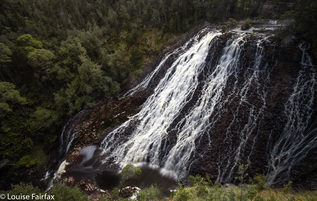
I know that Dip Falls (Upper and Lower) are the famous ones, but I’m afraid they just didn’t do it for me. Yes, they were attractive; yes, their dimensions were ginormous; yes, they were in many aspects impressive, but I could not divorce them from the equally enormous, arresting and dominating human infrastructure with which they are now overshadowed, so that all the dear tourists can get to the base without having any real contact with nature in which they might hurt their tootsies or fingers. The first thing you notice is not the whopping sense of space that these falls occupy, but the humungous stairwell present.
The whole way down, it is not the marvellous green and rich brown of the lush forest that demands your attention, but the shining steel railings. 1 min 23 down; 2 mins 00 up. Duty done. A few photos taken at the base and then at the top. I prefer my Tassie Wild thanks.
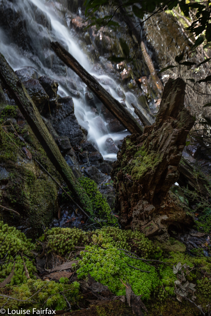
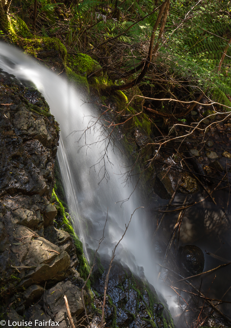
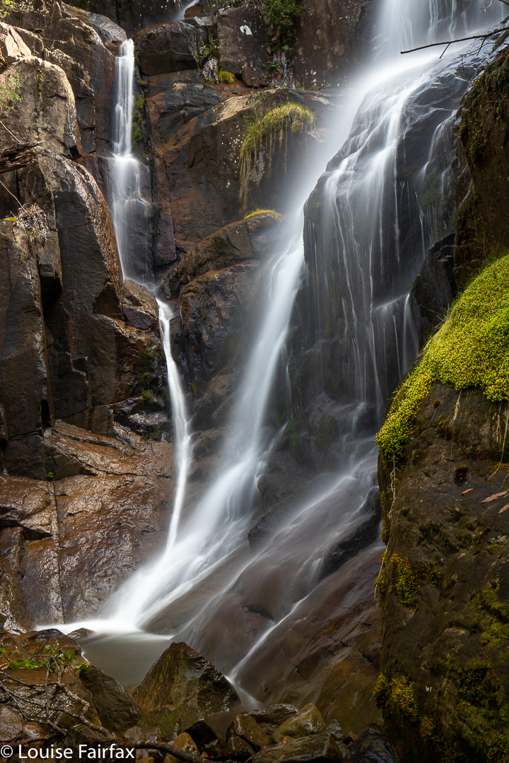
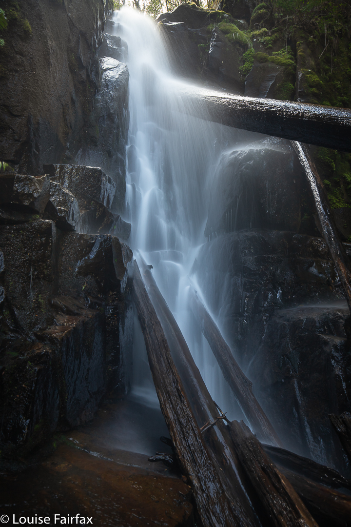
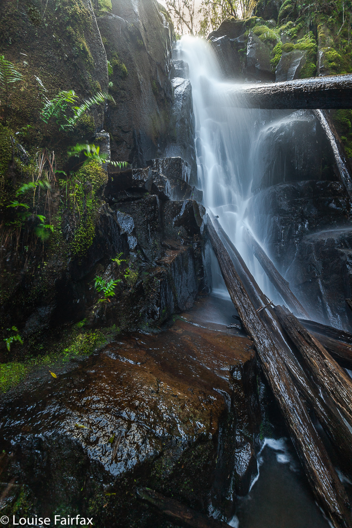
Little Dip Falls (section). We arrived too late in the day to be able to get a good angle on these falls.
There was not even enough exercise to justify the trip. It is exceptionally difficult to take a photo that does not include unnatural objects. I photoshopped mine out, as I hate looking at them. I go into the bush to escape the ugliness of human invasion and incursion, not to have more of it for the sake of tourists. My waterfalls need to be in the context of surrounding beauty.
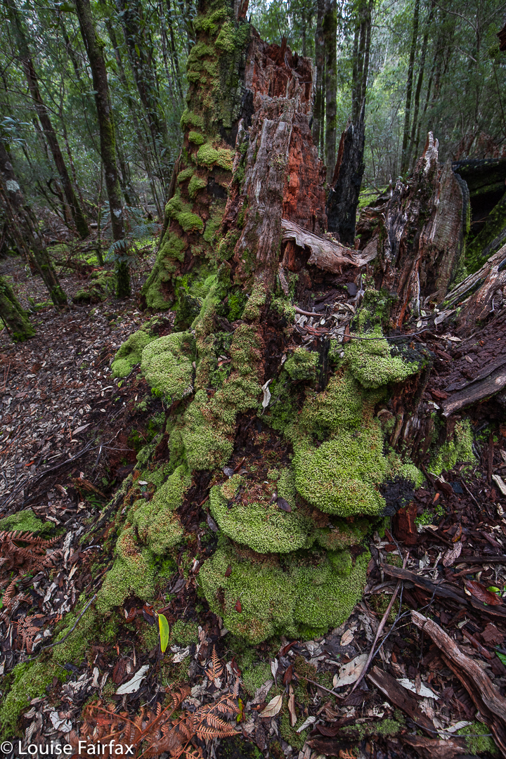
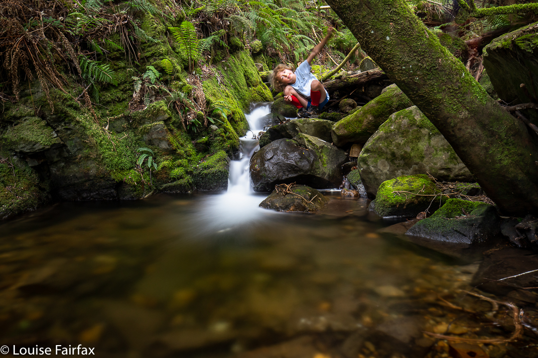
Little Dip Falls forest
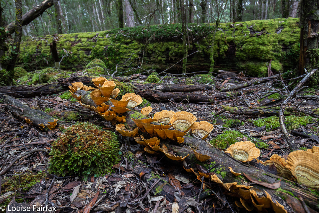
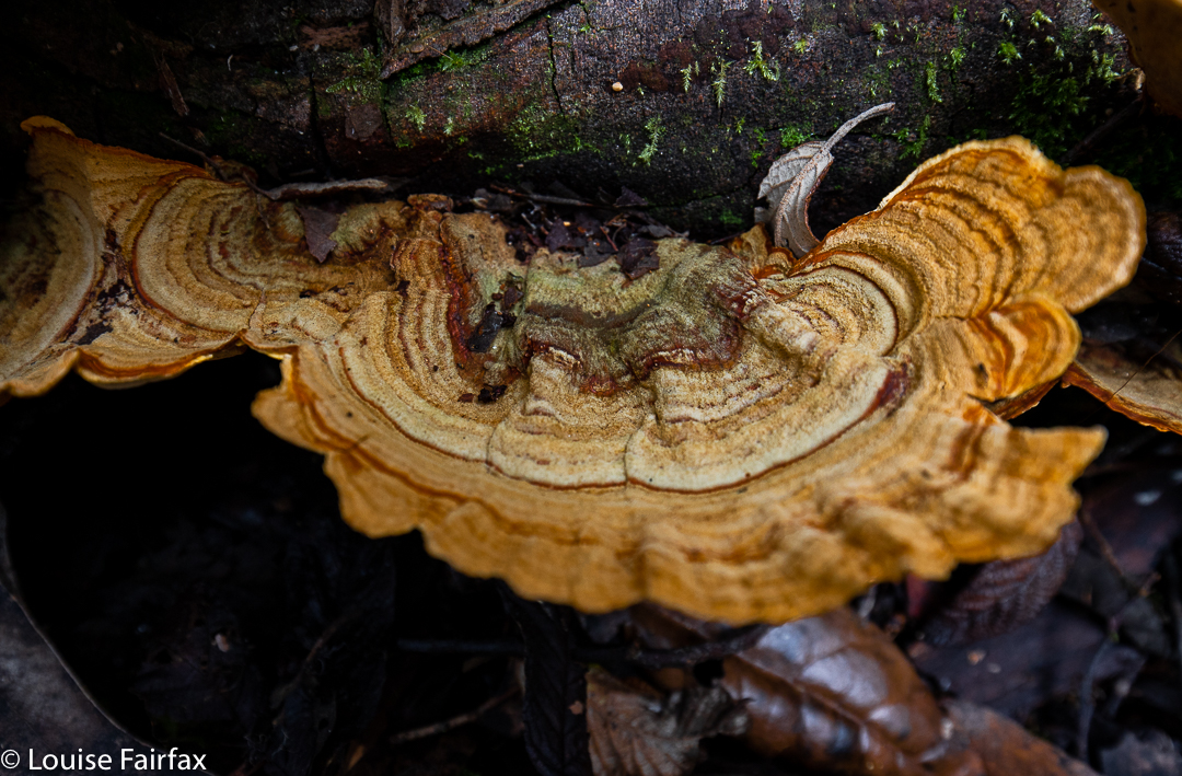
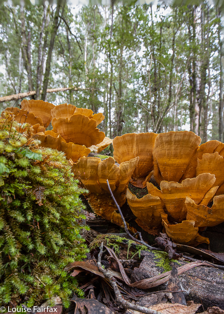
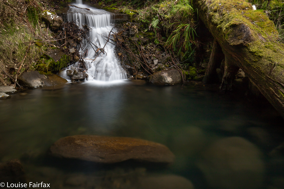
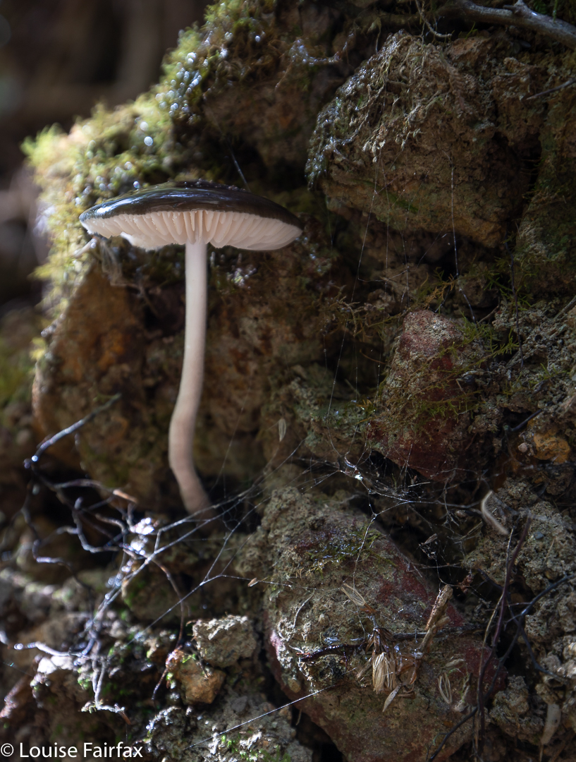
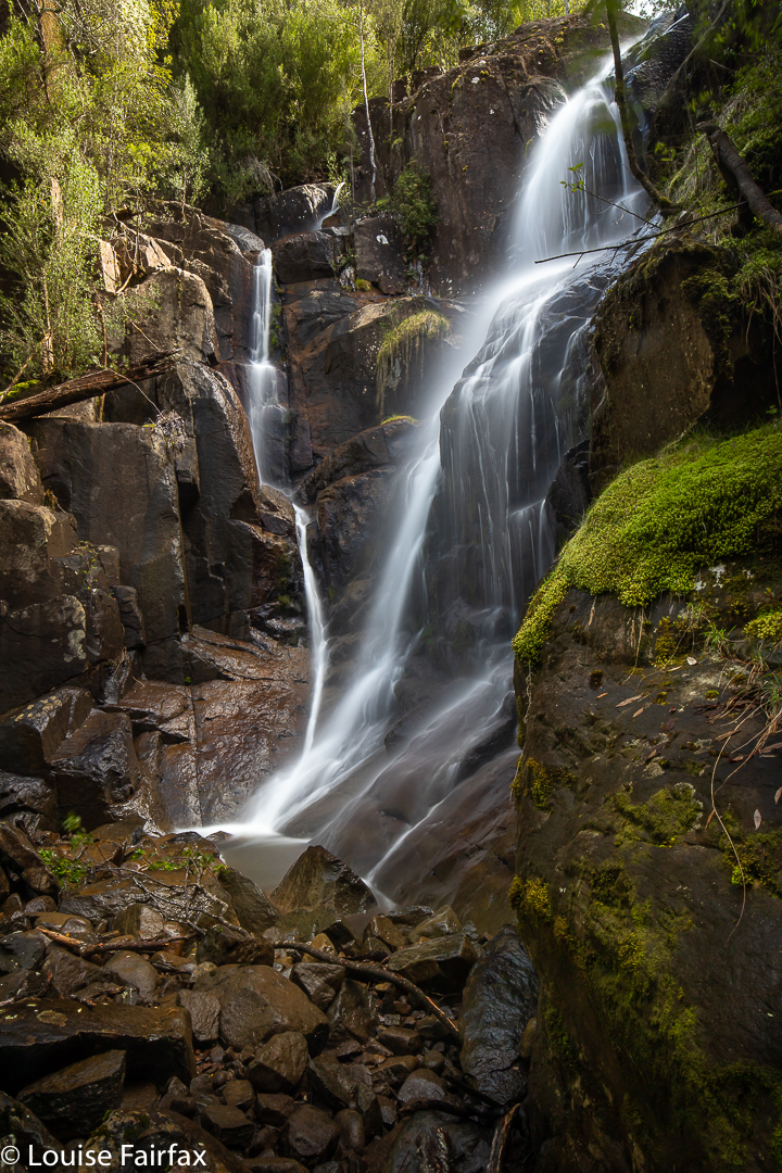
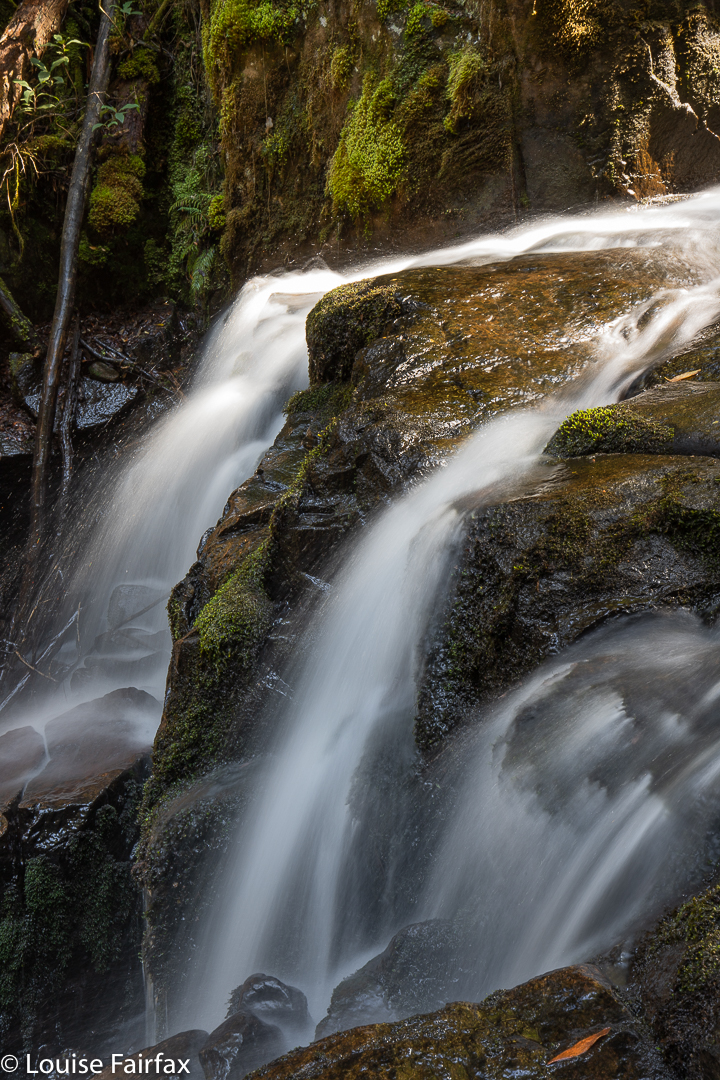
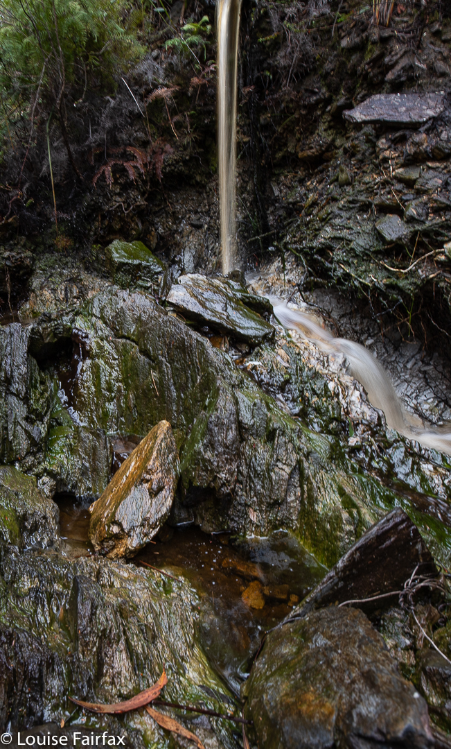
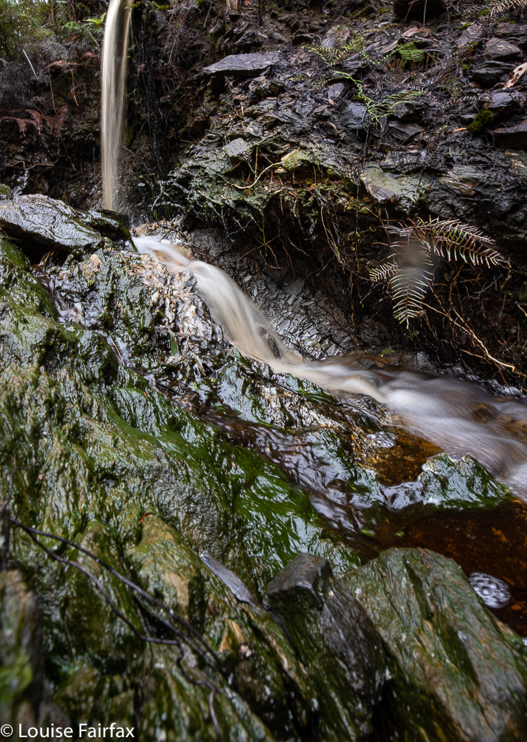
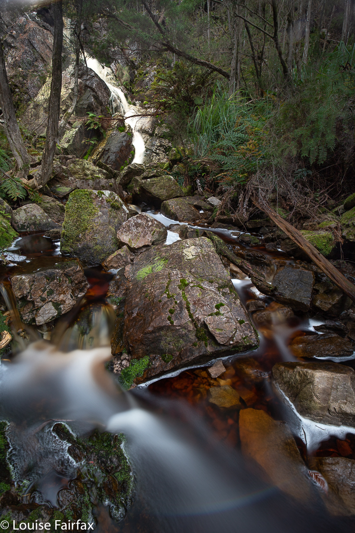
Luckily, the friend who was with me this day had heard of Little Dip Falls from Brendan Costello’s blog, so off we went in search of it. Now, HERE was a waterfall worth visiting. No smashing stairwells and steel, but rather, pure mossy forest, masses of startling fungi (although it is October), and a delicate, dainty waterfall of subtle beauty.
Stereum ostrea
There were not even any horrid pink tapes, so we were free to choose our own route. We spent a much longer amount of time at these falls than at the others, as they were so much more appealing. The big dips are sacrificial pawns to the tourist industry, which is ever taking over the beautiful natural features Tasmania has to offer, and locking Tasmanians out of their own land.
Our visit to Deception Falls on the Hobart Rivulet had not endured a long planning period. It was school holidays, and I offered 8-year-old Gussy an open choice of activities: whatever he wanted to do that day, we would do together. He chose to go waterfall bagging. This is also what he chose the previous day, on which we’d had a lovely time visiting O’Gradys and Betts Vale Falls, with a steep off-track descent to the top of Strickland Falls for a snack before finishing.
O’Grady’s Falls the day before
Towards the end of our time the day before, we saw, out of the corner of our combined eyes, the hint of a waterfall. We gazed at it from above, but I couldn’t see a ready way down, especially not with an eight year old in tow (and one merely wearing sneakers at that). The slopes leading into the Hobart Rivulet can be extraordinarily steep, and our angle of view was not promising. I told him I’d find a way of getting down to that waterfall, and then take him once I’d worked out a doable route.
Hobart Rivulet below Deception Falls
On this day, however, he said he wanted to do the exploratory work with me. I explained we might fail to get there, but he wanted to be part of the trying. On this day, he did the waterfall the courtesy of wearing proper boots. I think he’d been a little jealous the day before, when I stomped around the creek without problems, while he had to pick his way so as not to get his sneakers wet.
We parked below where the falls would be, and dropped steeply to the water level, Gussy leading the way for most of it. He selected good routes. Once in the creek bed, he was very happy with his choice of boots, and proudly walked up the creek itself. We didn’t have exactly the same path, even though, of course, we stuck together. That’s part of the fun of real bushwalking: freedom of choice. You are not a puppet fulfilling some role designed by someone else. This was a real adventure, and he was loving it. We still had no idea at this stage whether we would reach the waterfall we’d had our glimpse of the day before. There was still plenty of time for nature to win this game’s episode. That uncertainty is part of the fun, and makes success so much more enjoyable than just marching on a track, knowing you’d reach the goal even if you were a blind, lame nonagenarian walking backwards. You don’t need to be a million miles from home to have an adventure, but you do need “wild” bush.
Deception Falls
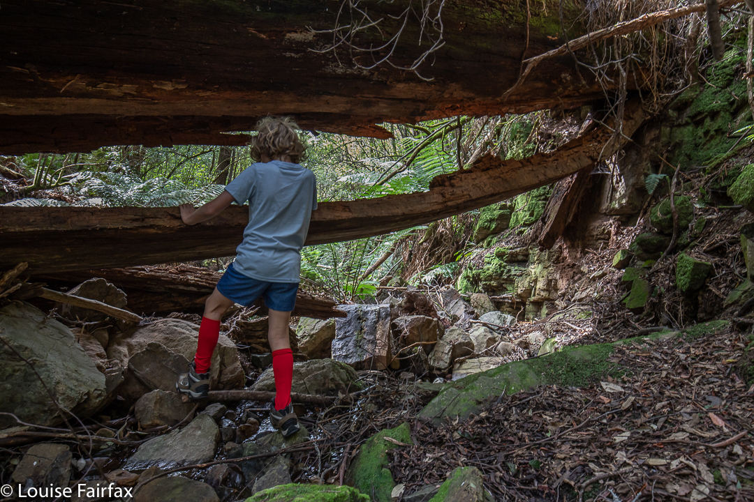
On we forged along our obstacle course, climbing over, under and around what came on our path. At one stage, we arrived in a huge kind of tree cave: a truly gigantic tree had fallen across the creek, and being under it felt as if we were in a cave, such were its dimensions.
Once we reached our goal, we could see that it could have been a lot faster and easier if we had chosen a different starting point, but I had chosen the one I did so as to create a proper adventure. The aim is to enjoy, not to break some speed record reaching the falls. The long way was the fun way. We enjoyed being there, and found some shell fossils and a marvellous specimen of Oudemansiella gigaspora (which I mistakenly thought was an Entoloma panniculum, not noticing the white stipe at first. Thanks to Herman Anderson from the Tasmanian Fungi group for the identification). There were also some wizened tiny fungi, perhaps mycena sp. As the pool at the falls’ base is chest deep, we agreed it would be a great swimming hole in summer.
Oudemansiella gigaspora
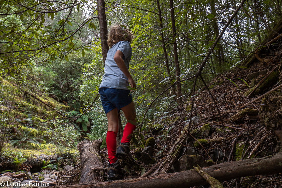
The road was now visible, but Gussy did not want the easy way of going there. Instead, we turned our back on the road, and chose the hardest way out: the approach route that we had rejected the day before, only this time, we were climbing up not down, which is safer. I stayed directly underneath him, watching his choices, which greatly pleased me. If he slipped, I could catch him and arrest his fall. This did mean that the odd rock came my way, but I knew the dangers. He is more important than I am. Meanwhile, he was learning great lessons about what you can and can’t rely on in the bush: what might give way, and what is sure to be stable. I watched with satisfaction while he chose living branches or roots and tested them before committing to them.
adventuring
We called this waterfall Deception Falls, as we felt it was somewhat deceitful, hiding itself away from view of its many passers by. We had never even noticed its existence before.
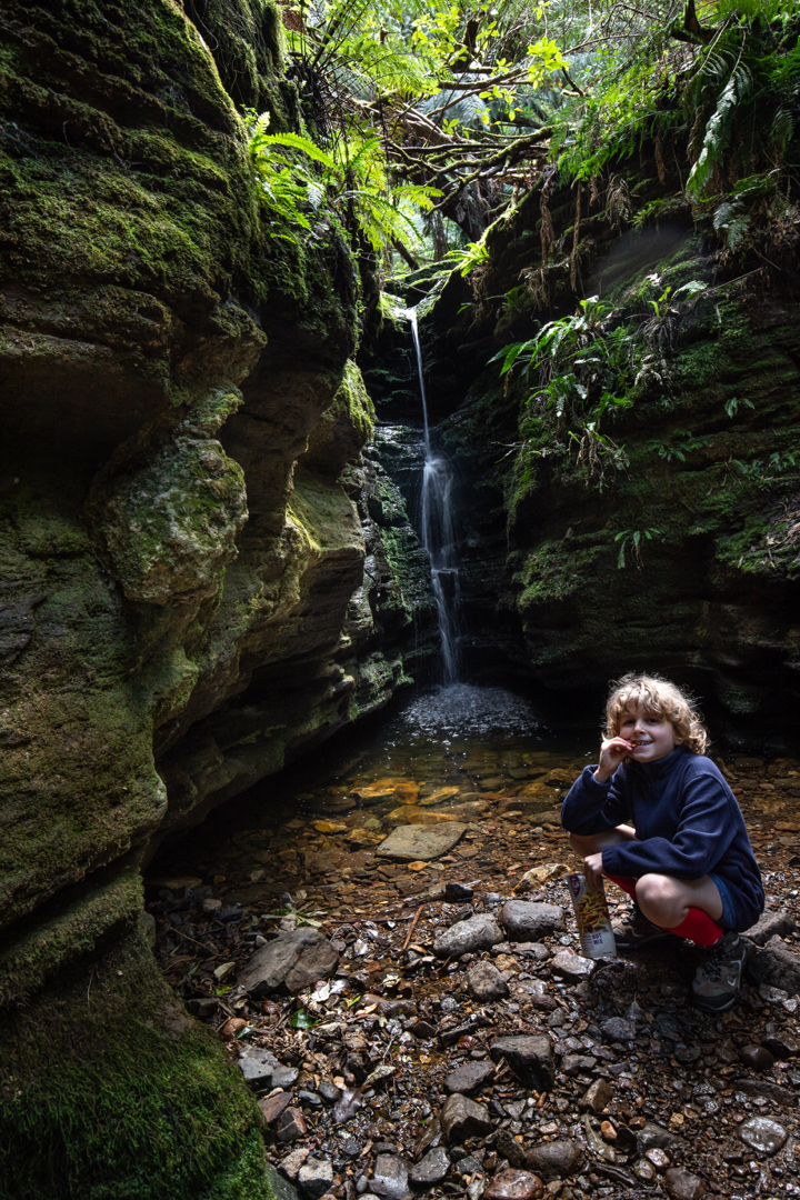
Secret Falls snacking
We hadn’t finished having fun, so I said I’d take him to Secret Falls. Off we set, walking and talking. Once we were there, I pointed out to him the beautiful moss, but also the fact that much of this wonderful lushness had been replaced by mud due to other people’s carelessness, selfishness and disregard for nature. He trod very carefully, and avoided all moss. Wearing the right shoes really helps in this regard. If you’re wearing boots, you can walk on the stones in the water a lot more easily. In the little canyon, we talked in hushed voices, as we could hear other people walking along the track above, and didn’t want to attract attention to this secret place. I think he found it very special to have been somewhere “not on general display”, even if it did bear, all too noticeably, the marks of the carelessness of others. Experiences like this help reinforce his growing respect for nature, and for its fragility if not protected against stupidity. That sentence read to me as contradictory in a sense, as nature is, in other ways, tough, very tough, and will outlive us stupid homo non-spapiens; however, in the face of the forces of destruction from the average tourist or greedy bureaucrat, desecrated features of nature’s beauty can take longer than a human lifetime to regenerate, and some beauty can be lost forever. How much of this glorious world that I am showing Gussy will still be here at the end of his life?
“The vision of a dying world is vast before our eyes; We feel the heartbeat of its need, we hear its feeble cries …” (Hymn. 1966).
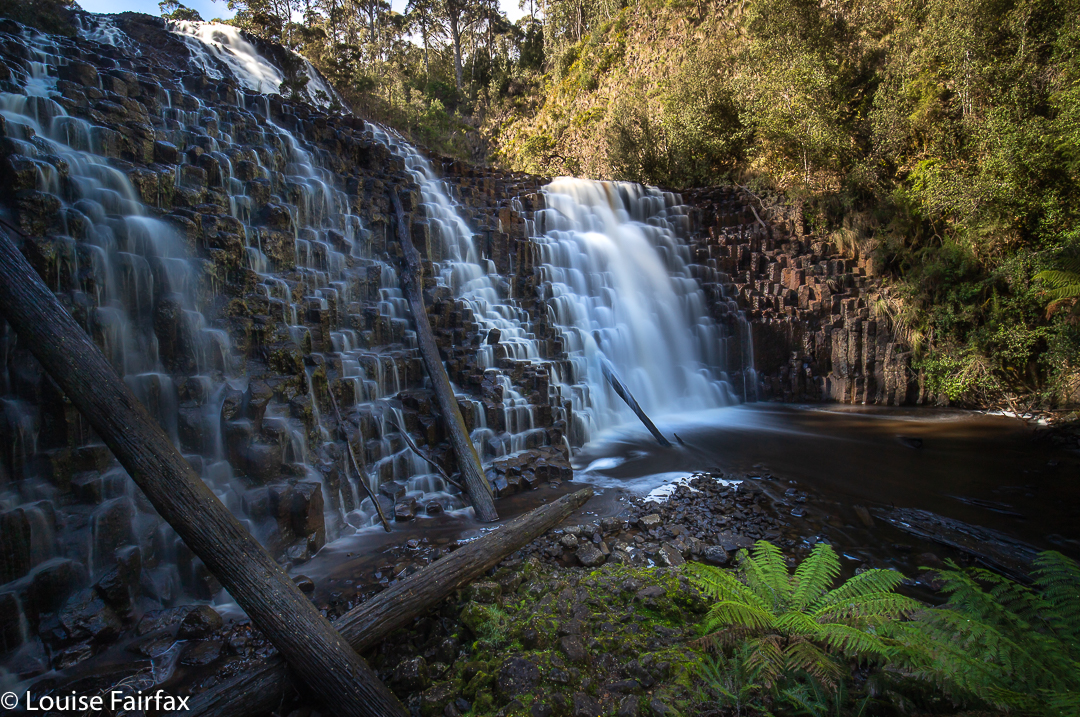
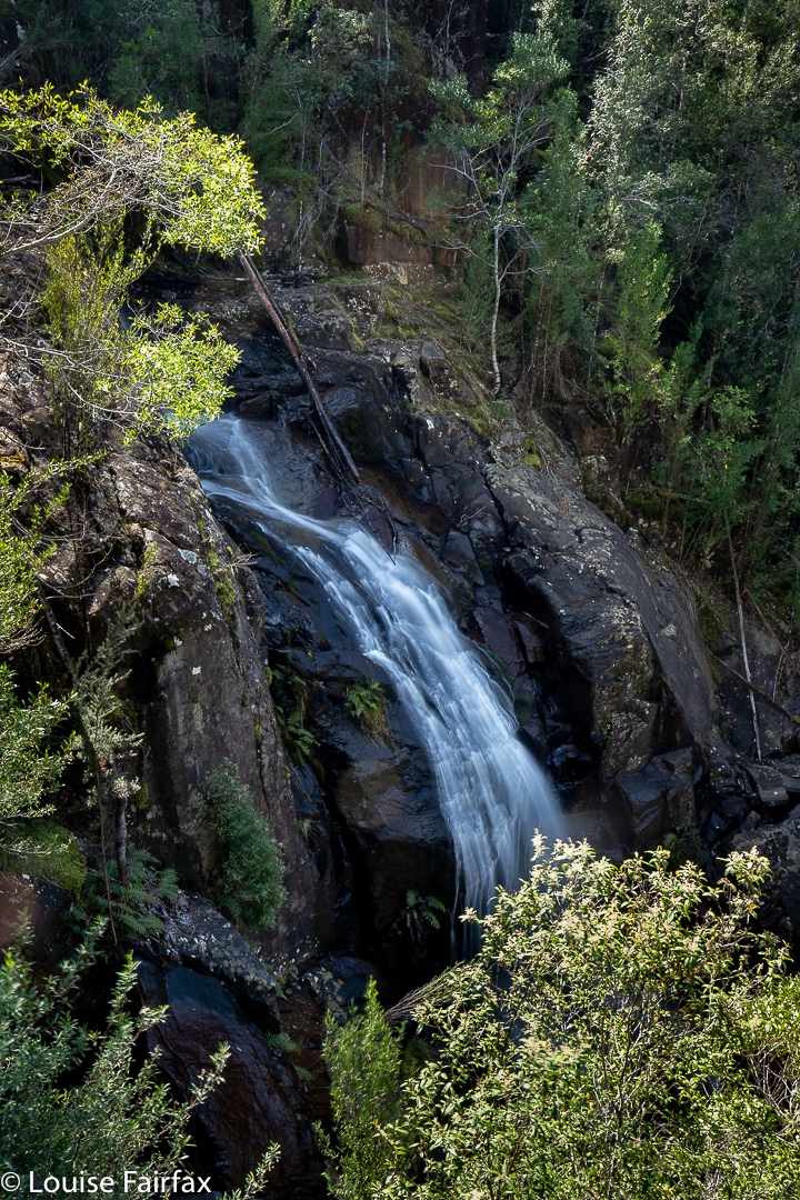
There I stood at the top of Dora Falls, gazing down to an abyss below. How on earth would I get down there? The drop seemed as infinite as it was vertical, and any spot where verticality gave way to a degree or two of slope, the trees were a mess of impenetrable tangle. I was, yet again, solo, and was totally unwilling to lower myself down something I might not be able to climb back out of later. I basically gave up. “Oh well,” I said to myself, “at least you’ve bagged Dora Falls. This is probably it for the day. It was a nice little excursion.” I took a shot for the records, the one shown below.
Dora Falls from above
However, being the sort of person who does not give up easily, I decided to take one more look at the map to see if it gave me any hints, and indeed it did. I noticed that on the other side of the creek, the contours were more spaced than on this side. Perhaps that was a clue that would open the key to the treasure. I would not give up yet, but would cross the creek and give that a go.
It had taken me 17 minutes to reach Dora Creek from the car, and I had just wasted a further 23 trying to crack the code to the base. Perhaps if I had gone further on that western side I would have found something doable, but here I was back where I’d arrived, crossing over. I had already determined I would use the point of the spur rather than the creek’s edge, and carried out my plan. Presto. 8 minutes later I was at the base of my holy grail. The little “den” was mossy and had a special silence that would have had me whispering had someone been there with me. I was captivated, and so very glad that I’d persevered.
Dora Falls
Now I felt confident that I could use the same spur to reach Eldon Falls. Up I climbed. It was not hard at all, and it was mossy and wonderful. I went up the spur for 14 minutes from Dora’s base until I was on contour with where I had waymarked my best guess at Eldon Falls, and then just sidled around the spur keeping height for another 13 minutes. Tra la. There I stood at the base of my next goal.
Eldon Falls
This one wasn’t as beautiful as Dora, but was still well worth the visit. Photography finished, I decided to go straight up and over the spur above rather than retracing my steps. It meant possibly more contours, but I have always been rather careless when it comes to contours, so up I went, thinking this would be more interesting than a retrace.
Eldon Falls
And so it was. After 21 minutes, I had crested the spur and then dropped into a higher region of Dora Creek, and what should I find but an area of delightful cascades. The bank next to them was very steep and cluttered, and I didn’t feel like foraging for a possible route to visit all of what I had found. I reached a place that looked like I could get across, and photographed that particular cascade, which was possibly the best anyway. At least that one looked “climb-upable” on the opposite side. These cascades seemed quite well fortified by small cliffs.
Dora Cascades
From there I continued west until I hit the edge of the public-private boundary, and followed that back to the car. (There is a pad that weaves along through the forest up the top there, following the boundary. There is also, at some points, a “road” [maybe at all points], but I didn’t use it, always preferring the green and shade of forest, even to the ease of a road, especially when it is a glary machine-made one with clear felling on one side of it.) The circuit thus took a shade under 1 hr 30’s walking IF you don’t count photography and the 23 minutes I spent stuffing around on the western side of Dora trying to find a way down.
Not only did I find great beauty, but I also had a fun adventure, and the pleasure of “doing it myself”: the joy of discovery and overcoming obstacles. That was, I fear, because this is a southern waterfall, and Hobartians do not feel the need to stick pink tape through every section of forest to spoil the fun of others who want to do it themselves. Pink tape is ugly, totally unnatural, and destructive. I thought we were trying to rid our planet – and especially our wild and beautiful places – of plastic, but in the north, every waterfall, it seems, is festooned with plastic, even ones with a very obvious path leading to them. Someone estimates the general IQ of fellows living in the north to be somewhere around 60.
Time for lunch at my favourite red cafe in Huonville. Well, I bought lunch and picnicked by the river there, it was such magnificent day.
Betts Falls are not exactly inside Rocky Cape National Park, although one of the (very scrubby and unpleasant) approaches to this named waterfall on the ListMaps of Tasmania is from the early part of the track to Doone Falls. I included Rocky Cape (Tangdimmaa) in the title of this blog to make sure people understood I was not talking about Betts Vale Falls on Mt Wellington.
Betts Falls Rocky Cape
I’m afraid THIS Betts Falls is a bit of a non-event, as you can see from the pictures. However, I actually (unbelievably?) had more fun going to this waterfall than I did to the more attractive Doone Falls. I guess I am sick of the way National Parks are becoming over-regulated Tourist Parks that have little to offer proper bushwalkers. All the mystery is removed and signed highways lead to every feature so that a blind, crippled octogenarian with an IQ of 60 can reach every point desired. I like to have to use a bit of ingenuity, read my map and overcome a hurdle or two to enjoy my goal. I do NOT want to be carted there in a cable car so my legs and brain can both atrophy. Going to Doone, I was little more than a puppet carrying out my prescribed role. I did not have to think, or wonder whether I would find my treasure. I was, quite frankly, bored.
Betts Falls Rocky Cape
Betts Falls were unsigned, had no paths created for the purpose of getting you there, or pink tape every metre to festoon the forest with plastic, and were thus a treasure to be sought by effort. And as a result, I enjoyed the whole process of getting there, and was permitted to feel a faint sense of achievement when I found the falls at the end of my map reading. Small as they might be, they are not entirely without their own quiet charm. I passed some fabulous banksias along the way, with massive bearded cones lying all over the ground. However, if you like your waterfalls huge and dramatic, or want pink tape and paths to get you there, then this one is not worth your consideration.
My map is old, and so I had no idea if I strayed onto private property along the way. In case I did, I won’t publish my route here, but if you ask me nicely, and establish your interests as being of noble intent, then I can send you a copy of how I chose to get there.
(For Betts Vale Falls, on the Hobart Rivulet, see
http://www.natureloverswalks.com/hobart-rivulet/ ).
I’m afraid I have to confess that I have always regarded Doone Falls as a spoon of medicine I would have to swallow one day if I wanted to tick that box. I had seen a photo of it that did not inspire in the least, and, I have no idea why, but Sisters Beach did not have a siren call for me either. I guess I have never seen an alluring photo of it.
Doone Falls, Rocky Cape National Park (Tangdimmaa)
Today was a good sort of day to make my half-hearted pilgrimage to this doubtful mecca. It was a middling sort of day: cloudy but not raining. Not thrilling in any sort of way, but not bad enough to have me declare it a “sit by the window and read my (excellent) book” sort of day. I did my normal training run in the gorge, and took Tessie for her walk on the harbour before I set out, as you just didn’t know with a day like this how things would unfurl.
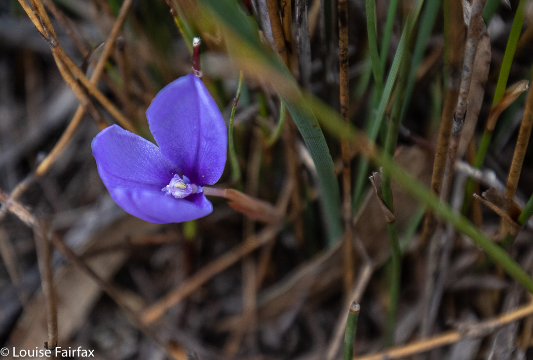
Patersonia fragilis
I know it’s churlish of me, but I didn’t like Sisters Beach in reality any more than in the anticipation. I drove slowly along the street, trying to get a glimpse of the beach, but I could not see it once. Not at all. Huge two-story houses (each with a gigantic boat on a trailer parked somewhere in the capacious yards) blocked every possibility of a sighting of the water. Eventually I reached the end, marked by one of the ugliest car parks ever, with not a tree in sight, and dumped my vehicle. Lucky for me, today was Australia’s religious fest day, so every Aussie except me was at church worshipping men in little shorts trying to get a ball to one or other end of an oval. No doubt they were having communion with beer for wine and chips for bread. This meant I had the carpark and the whole national park to myself. Wee.
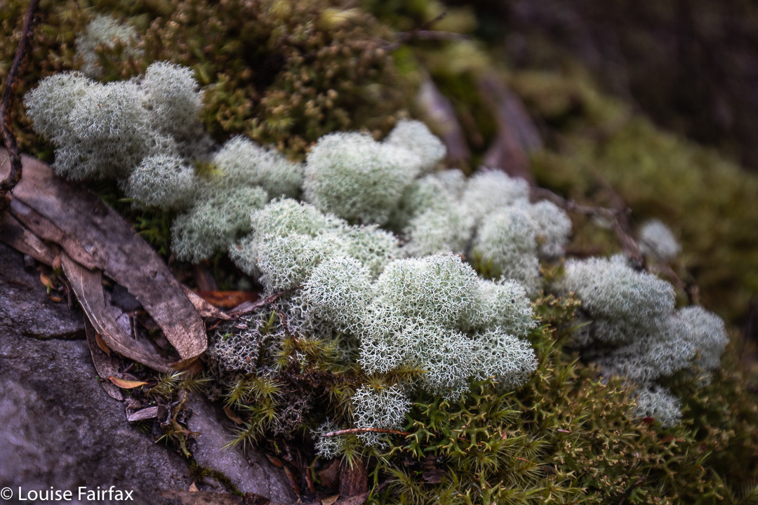
Moss and lichen nearer to the falls
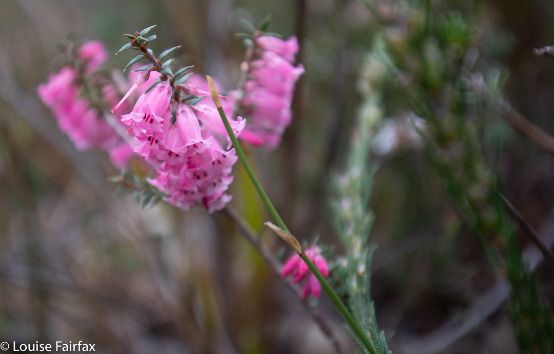
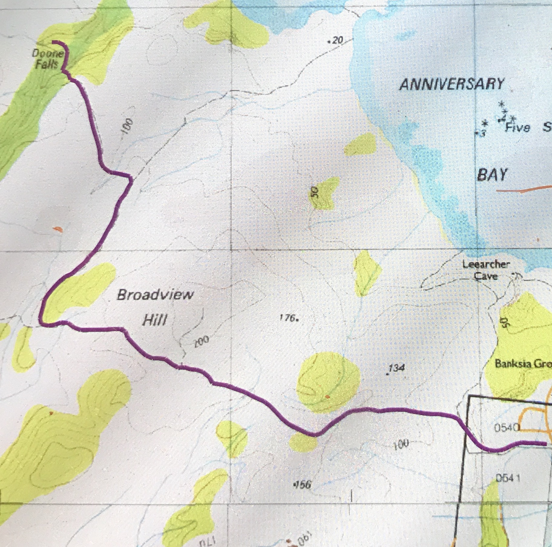
The route was unexpectedly open. I thought it would consist of dry scrub like the bush near Greens Beach, but it was more open heathland. It would be glary and exposed (to sunburn) in summer, but today was fine enough. The wind was not too strong, and it all had a Wuthering Heights kind of feel as I climbed up Broadview Hill with views to lumps and bumps around me, and the beach below. As it was early spring, there were quite a lot of heath flowers and other dainty patches of colour making their appearance. The only shady part was the final five or so minutes which marked the descent through pleasing mossy forest to the creek.
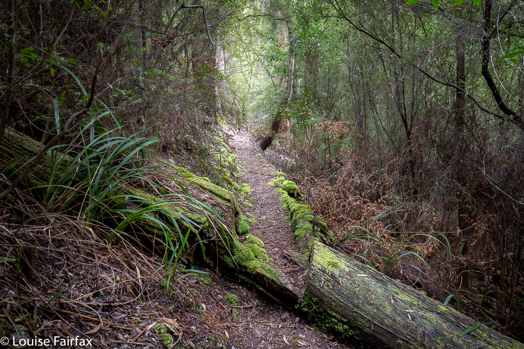
The nice part of the path, near the falls
32 minutes took me to the first turn off (shortly after Broadview Hill), which was signed to Doone Falls; 8 mins 30 more were needed to the next sign / intersection, which said the falls were 45 minutes return. I had been going just a shade over half the advertised times, so I figured 12 or 13 minutes should see me at my destination, and I was right. I was thus there in a bit over 50 minutes. The way back had similar splits. I am telling you this, as the fact that it was supposed to take two and a half hours had put me off a bit, and it is good to know that it is not quite such a big time commitment as anticipated, leaving room for other adventures, or just not making for such a long day if you’ve come from Launceston. For me, it meant I could also do Betts Falls and be home in time for dinner. Two boxes ticked. I very much doubt that I will ever be back.
delicate pink heath flower
Rocky Cape now has dual naming. The aboriginal name is Tangdimmaa.