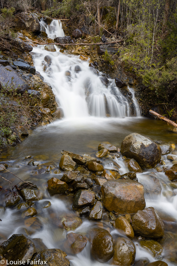
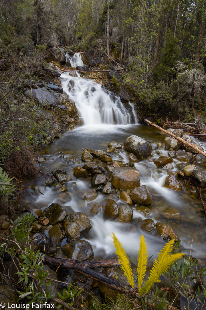
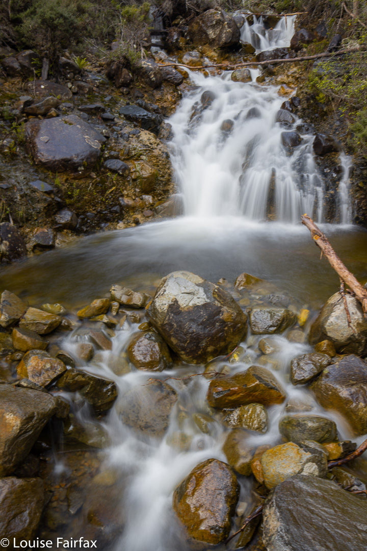
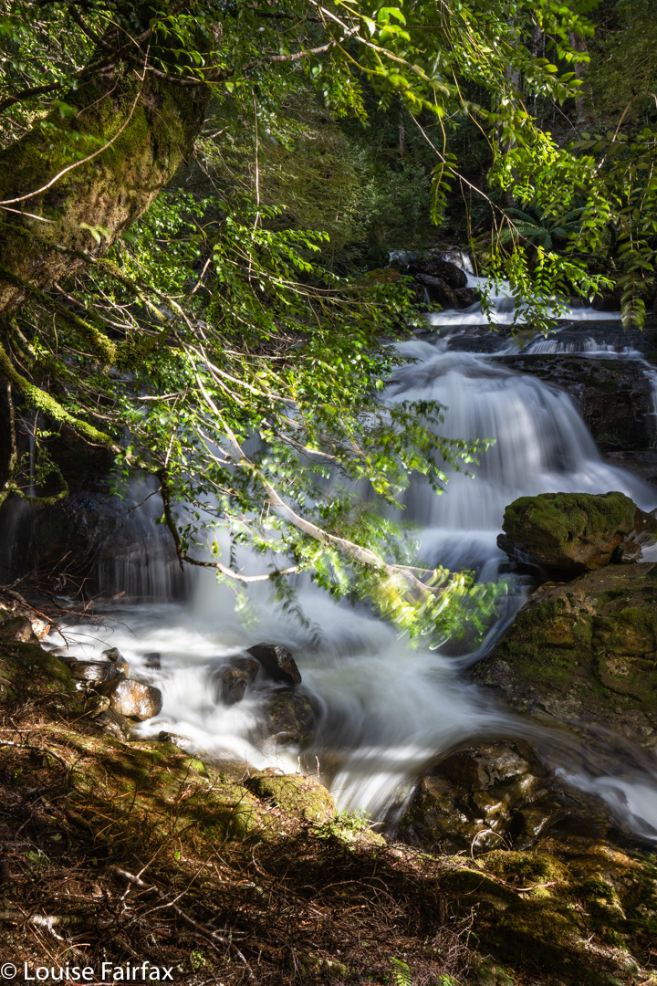
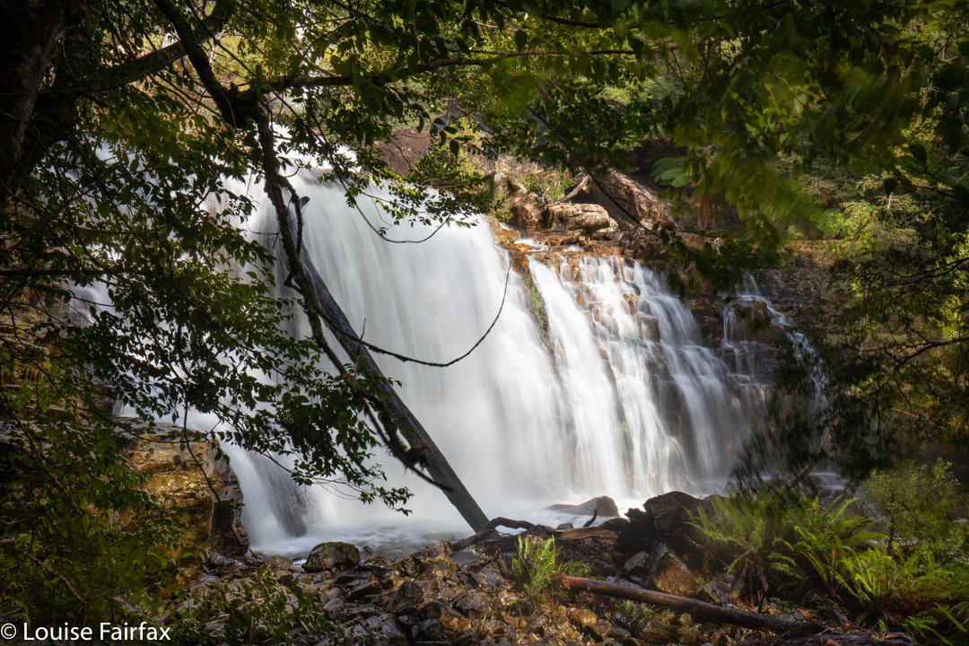
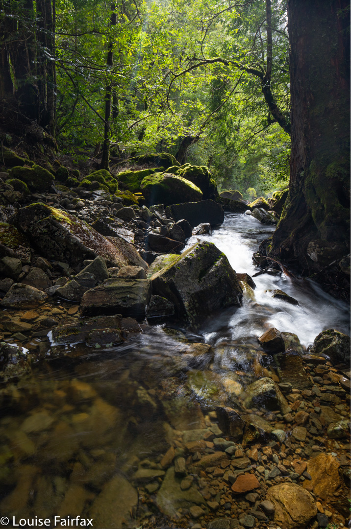
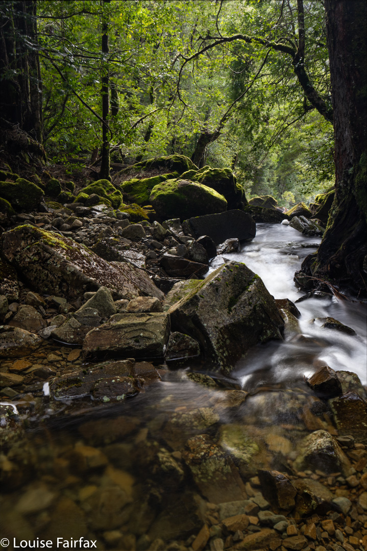
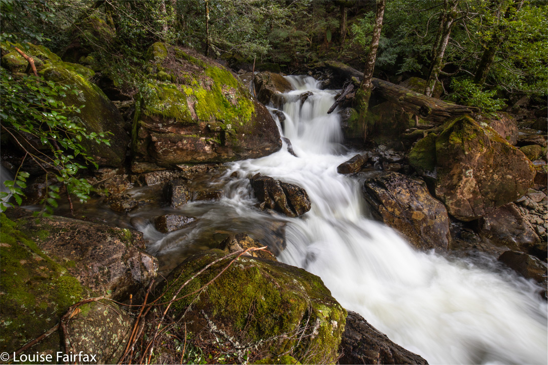
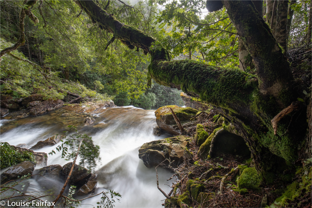
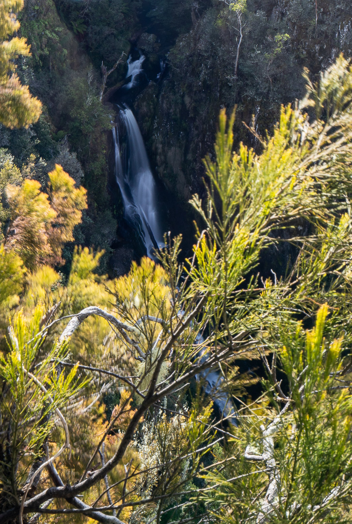
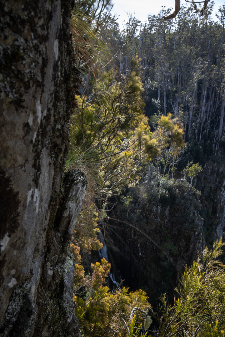
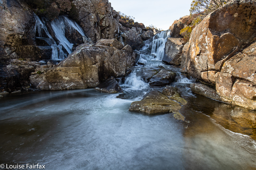
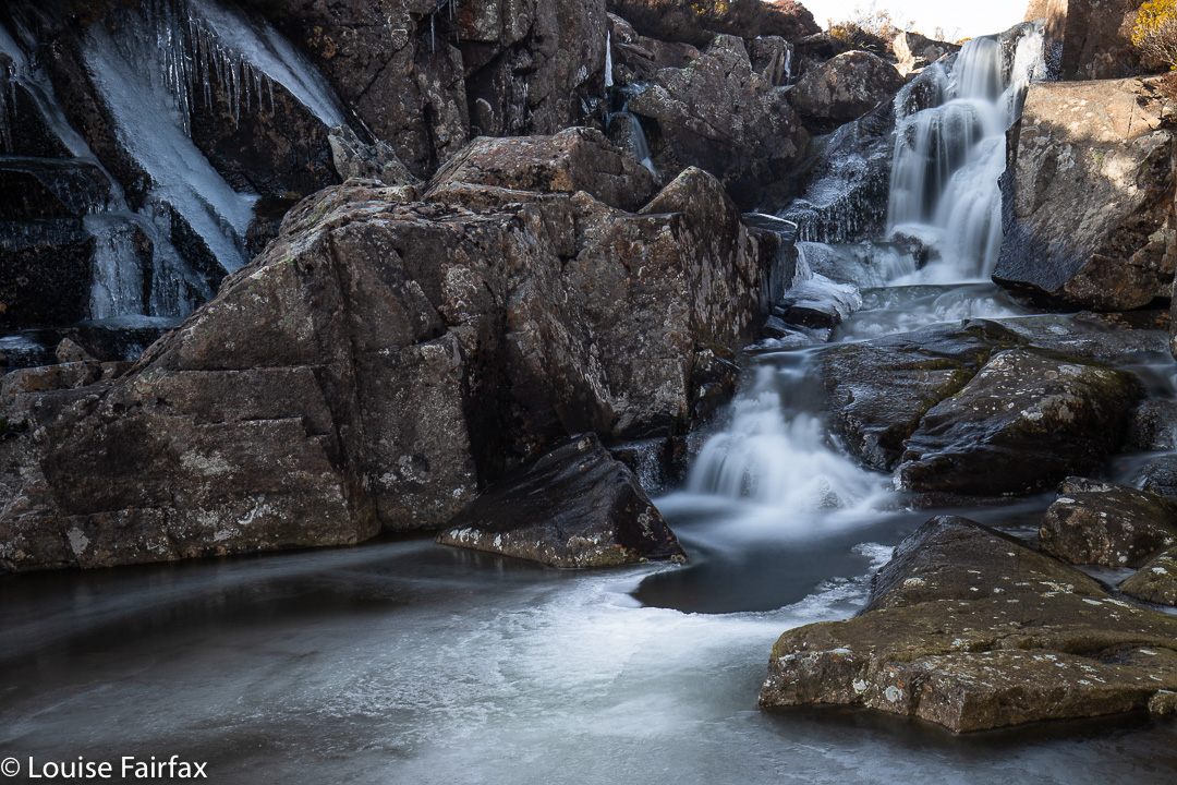
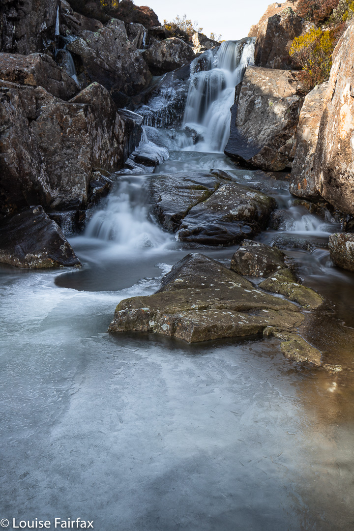
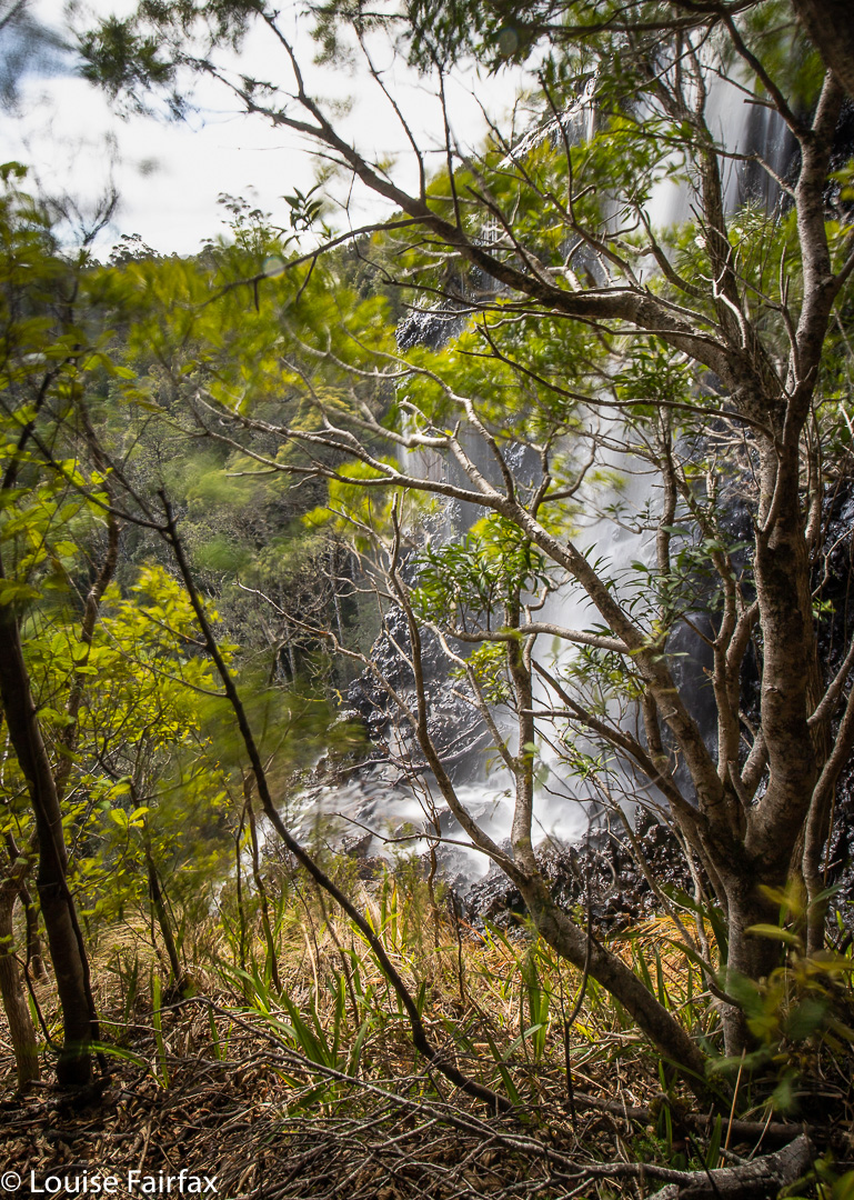
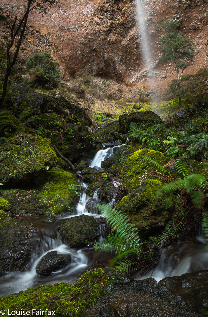
I didn’t know Stretcher Falls existed until I saw them, but really, they are just as big as many other falls, and I thought they warranted a photograph, so, here they are. They lie on Stretcher Creek, as one drives along the road beside Lake Rowallan. I saw them on my way to the end of the road, en route to Horeb Falls, and vowed I would photograph them on my return if I noticed them. I did. Here they are.
Stretcher Falls
I had had to make do without any filters at Horeb, and did the same here. Each photo thus consists of a stack of four shots to give me the long exposure I wanted. When I gaze at a waterfall, I don’t see water as odd droplets, frozen in time, but as flow, so I like my photos to depict the flow that my mind sees as I stare in wonder.
As I saw these falls from the car, they are a good waterfall to go to if you want to take somebody too old or young or ill to do much walking.
Horeb Falls day (today) seemed to start quite well. The road beside Lake Rowallan must have been recently worked on, as it had fewer nasty attacking rocks and deceiving puddles than on my last visit. And, it wasn’t raining, despite BoM predictions – which admittedly still had plenty of time to come to fruition; there were some very healthy clouds floating around the place.
Off I set, along the Jacksons Creek track, which I intended to stay on for 15-20 minutes until it crossed the creek on a swing bridge, after which I would hive off to the west. Hm. The track was actually frozen and I was sliding everywhere. I had to slow right down. Even when I trod on old bracken (of which there was plenty), I was skating, as the fronds were coated in a thin rime. The myriad fallen branches were also treacherously slippery, and, hm, where was the track, actually? I kept having to search, as the large quantities of bush debris (artistically dotted with snow patches) obscured any trace of a path. Sometimes I just gave up and hoped to pick it up later.
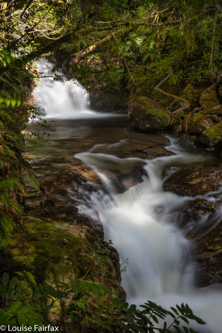
Cascades on Moses Creek
At one stage, I got out my gps to check. Horrors. I was nowhere near the mapped track. Just in case, I called up my Cathedral Mountain route. Ah. Yes. Hardly for the first time in my experience in Tasmania, the track on the map and that on the ground bore not the slightest resemblance to each other. The dashes on the map were a mere “artist’s” fumblings, which is quite dangerous when you actually need accuracy. Luckily I had my own old route with me, so used it to guide myself back to where the ground track was.
Jacksons Creek was roaring, and several pop-up creeks had appeared along the route. I decided to change my plan to ensure that I could get across the next creek with maximum safety, and continued on the “formed” track for a while later. Surely it would cross at a good place. It did. With the aid of a broken branch, I even kept my precious tootsies dry. Wow, the stones were slimy!! Being solo in territory like this requires extra care.
Lower Horeb Falls
I climbed a short steep incline, swerving now away from the track, and began the bushbashing section of the day. Unfortunately, I had earlier ascertained that my compass was not playing game and was randomly selecting directions. (Had I accidentally brought a northern hemisphere one along? Possible.) My map said to keep the more sharply contoured section to my left, the flatter land to my right, and use that to get around the spur, climbing a little.
I have already mentioned the debris. There must have been an almighty storm in the somewhat recent past. On the nose of the spur, fallen trees were piled on top of each other as far as my eyes could see, in an untidy fiddlesticks jumble. The wood was icy, sodden and treacherous, but I could not get under or around it, so would have to do what I hate doing, and tread on wet wood. ‘Over’ was the only way if I was to move forwards. I made gastropods look hasty.
Testing everything before i committed, and using, as ever, all five limbs. I snailed my way over the obstacles, eventually reaching the next band, one of thick bracken and tree ferns that concealed submerged tree mines.
It was with enormous relief that I finally made it back to the rainforest. Ahhhh. The green lushness of that calming moss and the delicate myrtle leaves instantly erased all the anxiety and negative feelings caused by the spur. According to the map, the falls were still about a hundred metres upstream, but I could see foam and beauty below me, and I don’t trust Tasmaps’ placement of waterfalls, so I descended to the creek to investigate. Definitely worth photographing! I dumped my pack (with, possibly hilariously, two sets of ice spikes.) But, oh no, it contained no filters for my camera. Ach. They must have been left in the boot of the car. I’d have to take lots of shorter shots and stack them together later for a single long exposure. Sigh.
From this point on, the creek was magic, and I took lots of photos and enjoyed the green beaches, and the feel of the forest. I was also starving, so got out some food, but discovered that the water was so cold it hurt to drink, and lowered my core temperature drastically and almost instantaneously. I couldn’t afford that, so opted to go thirsty.
Now, quite apart from skating on ice, losing the track early on, being held up by tree bandits, forgetting my filters and not being able to drink the plentiful water that surrounded me, I began to have problems with the sun. Right up until when I got out my camera, it had been snowing lightly. The minute I pointed it at water and took the lens cap off, the wretched sun came out and would not go away! Grr. Meanwhile, thirst was getting to me. I decided ginger chocolates would help. I opened the packet (which resisted my attempts at first) and whoosh, little brown bombs flew everywhere. They were subtly disguised on the brown humus, but I did retrieve some. Na ja. The beauty overcame all. I obviously need to return on a day that is more consistently overcast, and with my filters.
I had squandered too much time playing with all the different drops and falls to then do the full circuit, so did my own much smaller one on the rebound.
If Horeb Falls were not already named, I would call them Glory Glory Glory. I spent about an hour and a half playing around their presence. You are no longer in “time” in a place like that. You lose yourself. The world stops … or maybe you just step off it.
Another waterfall you may want to visit in conjunction with this one is Meribah Falls, about 1.5 kms upstream. See my separate blog on this waterfall http://www.natureloverswalks.com/meribah-falls/
Having seen my own, and a few other people’s, photos of Joy Falls, I have to wonder if it is actually possible to begin to do this waterfall photographic justice. A huge part of the problem, of course, is that wherever you stand, trees seem to obscure the view. Another part of the problem is that the drop-offs are so massive, and the potential for your gear (or your person) to tumble over, so apparently likely, that you are both on the edge and on edge as you soak in what you are seeing. Adrenalin levels are high. This set of falls pleases yet teases – reveals yet conceals – simultaneously. Your eyes can join the dots and yield a really pleasing whole – a long, medium width strip of fine, misty white veil with several tiers – but the camera just cannot – or not one attached to a human attached to terra firma.
I shot with my tripodded camera also around my neck for safety, and with my arm looped right around a young, healthy tree, leaning into it, so I couldn’t get bumped or just somehow accidentally start sliding. If I had brought the rope that was in the boot of my car, I would have anchored myself with it. Steve dropped something he was carrying and it did exactly as I was expecting: it just rolled a metre down the incline before dropping irrevocably over the edge into space, never to be seen again. Each of us announced any movements we intended making in advance so we didn’t accidentally even hint at bumping the other one. Any loss of balance or position could have been disastrous.
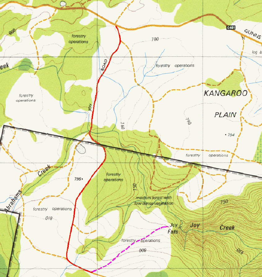
Apart from this danger of trying to get a view and shoot from it, the trip itself was not at all dangerous. We parked where “Joy 3” (pink) track met Joy Road (red). Sure, you couldn’t drive along Joy 3 (an old logging road), but it was easy and delightful walking. At the end of Joy 3, there were tapes to guide you in through pleasant forest. We took our shots at about where the “l”s are in the word Falls. But don’t think that tapes mean it’s easy. Tapes help if you know what you’re doing and are already doing it. This is yet another waterfall that is for experienced bushwalkers. If you want to learn to navigate so you can enjoy areas like this, I suggest you join an orienteering club. That will also increase your confidence in the bush.
From the first moment I saw the position of Ford Falls on the map, I knew I wanted to “bag” them (as the saying goes) in winter, with snow and ice all around. Today I had my wish.
Ford Falls
Now, I should be all set up for this, as I have an AWD and a set of chains, but putting on chains had always been Bruce’s job, so I felt a little insecure doing this alone, and prancing around on icy rocks is also better done in pairs than solo, so I contacted my friend Steve, who said he’d love to come. It was on.
The trip up was uneventful; the ranger happily let us through seeing’s we had chains on board, and up I drove. It was a balmy minus one at this stage.
Up on top, Jacob’s Ladder neatly behind us for a while, we searched for a spot from which we could attack these falls. Near the lookout, scoparia bushes were in thick armies. We got back in the car and went a bit further, nearer to the path up Legges Tor. There was a suitable spot to abandon the car, so we did so and tried again. No route yelled at us, but we chose a lead I liked the look of and followed it. Ha ha. After maybe ten steps there was a gap in the snow, and underneath was the path I had been searching for.
Ford Falls
Elated, we followed it until it dumped us at a pile of rocks, from which we were then left to do a kind of monkey-cum-crab dance across the rocks until we were where we wanted to be, photographically speaking. Unfortunately, Steve slipped on the ice and his hand hurt for the rest of the excursion, but no limbs got broken. I had spikes and spiders for us both, but neither of us bothered to put them on.
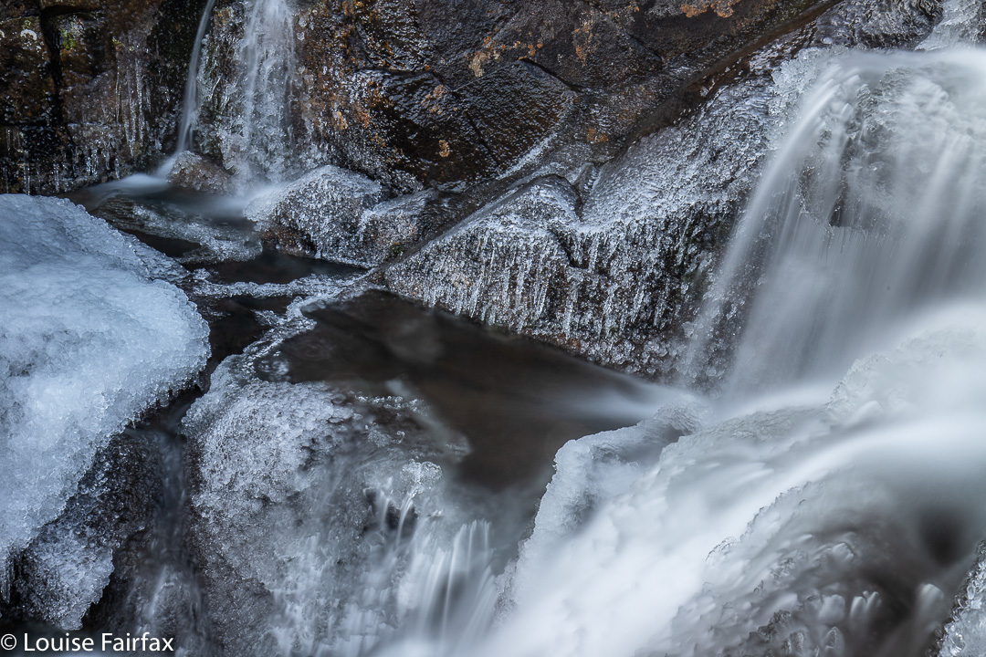
We stayed a while, as it was so beautiful there amongst the ice crystals and shining glassy stalactites. You could have skated on the ice below the falls (if you knew how) it was so thick.
Chilly enough?
The path, when not buried in snow, is probably clearly visible from the “car park” of its origins. This spot is not official, but there is probably room for two or three cars. The ground opposite has also been cleared a tiny bit. It’s maybe 2/3 rds’ of the way along between the lookout and the Legges Tor path. The waterfall is higher than shown on the map, more at the start of where the gorge begins.
I hope that helps. For us, it was time to go and visit Joy Falls as well before lunch. These are also on the slopes of Lomond, but a further drive around than I was expecting. We did fit in both falls before having lunch by the car in the forest and setting out for home.
I felt unbelievably refreshed – and somehow cleansed – after my excursion to Hinman Creek Falls today. It’s hard to describe that special joy you have when you have been in the wilderness alone. In this particular case, there was probably an adrenalin release contributing. It was rather a scary little waterfall.
This is actually just a little waterfall above the top of the moster drop that begns just there where the white tumbles over. The sense of space and drop at this point was huge. I was glad of the trees in the picture to break any possible fall. If any bit of my camera equipment slipped and began to roll, it would be “goodbye” forever.
It has been a few months since I have had a proper adventure in Tasmania all by myself. Of course, I climbed everything in Iceland and the Faroe Islands by myself, but that is different from being in the Tasmanian wilderness, where you are much more alone and hard to find. I was so “alone” (but not one scrap lonely) that I went to text my girls to tell them where I was in case I didn’t make it back safely, but I was out of range. Oh well. I was being careful anyway, and I did have my epirb.
Hinman Creek Falls is one of many waterfalls that is just a blue line on a map that I noticed. This blue line is on the route to Cradle, near Moina. I did some research, and found that Clint of TasTrekker had been there, and noted that he had skirted private property the whole way there and back. It was on. I didn’t use his route, as there was no clear demarkation on the more northerly side of the property to be skirted, to indicate where the boundary actually was, so I went to the further, southerly end, where big overhead wires cross the main Cradle Mountain Rd, and where there is a clear fence on the boundary. It lasted all of a few metres. Oh well. I had my gps, but the bush is actually very thick, so I did stray over the black line when not walking with my face in my screen.
Hinman Creek Falls base. One wide-angled lens (16mm on full-frame camera) is not nearly wide enough to capture the entire falls, as you can see,
Bush rubbish was everywhere and trees crumpled in my hands. I came home with lichen in my hair and fern bits down my T-shirt. Using a line of least (but by no means no) resistance, and trying to keep clear of the mythical black line, I went mostly west until a bit steep changed to quite steep, and then picked up a water race that led me to the top of the falls (pictured above). There were endless possibilities to slip and drop 35 or more metres into oblivion. The edge is steeply sloping, and shiny slippery in many places that offer a possible view point. This is NOT an area for the inexperienced. I took a couple of shots from the top, feeling a bit nervous, and then followed the water race back SW for a long way, until my gps said I was way past the actual cliff drop off. I then descended sharply to a contour that was below the falls, and worked my way through the rubbish to its base. (None of this is private … just junky). The reward at the base was big, but I was worried about the way back, as so much of the forest had crumbled, there was fallen timber just everywhere, and I have seen too many tumbles resulting from a single crumpling of tree.
However, I need not have worried. I took a sharper route on the way back up, and it had less rubbish, so all was good. I found an old rope, but it had moss growing on it. I tested it for strength, yanking it hard, and it didn’t break, but I still didn’t want to entrust my life to an old rope, so avoided needing it and just used young trees and rocks instead. It took me 20 minutes to the top of the falls from the car, 22 more minutes to the base. Then, 18 up from base to top, and 22 from there to the car. (That split was longer, as I accidentally strayed onto private land, realised my error, so dashed south until I was over the line again). I was, as usual, starving, despite having a fulsome lunch once I got back to the car, so filled up some more at my favourite cafe in Sheffield.