Trickle Falls and Dry Falls 2018

Trickle Falls and Dry Falls 2018 Sept
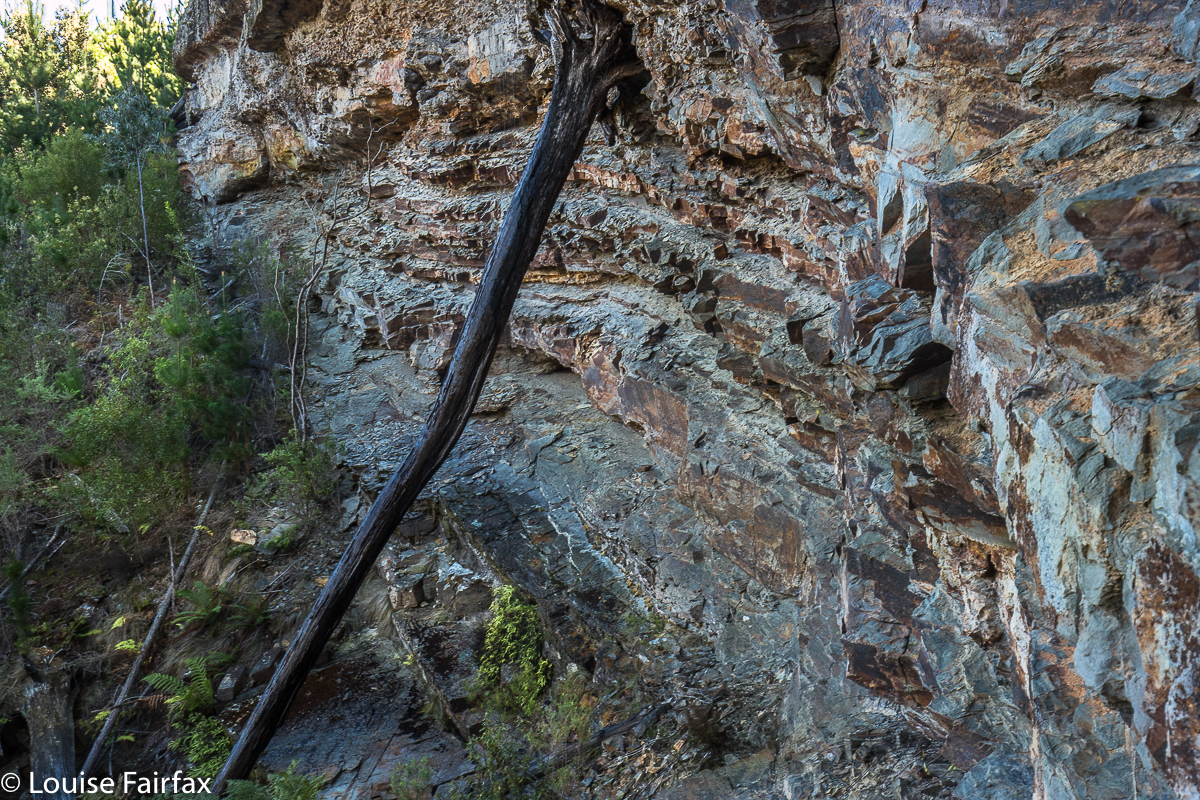

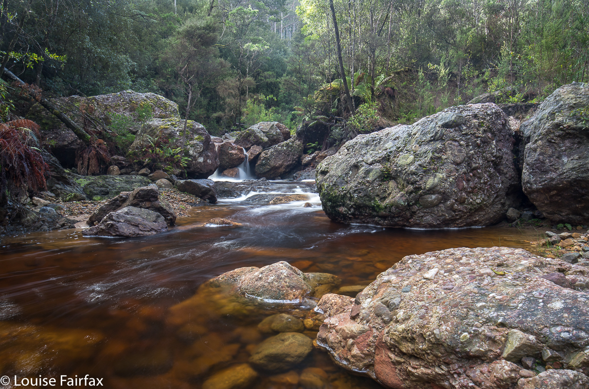
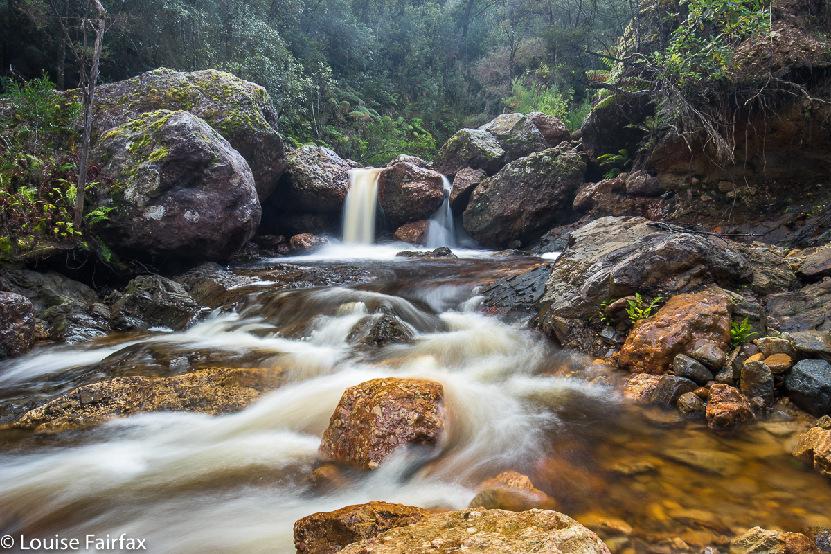
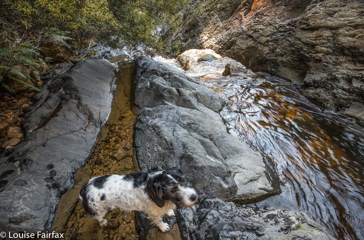
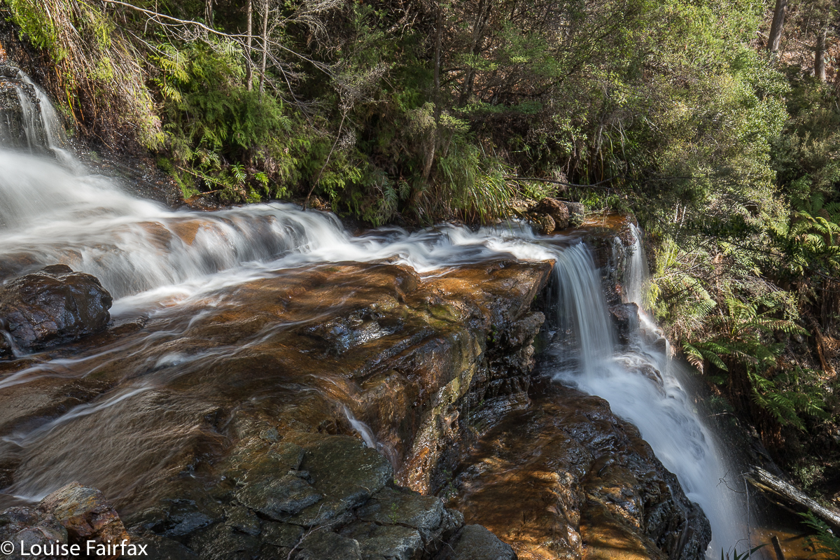
With an inauspicious name like “Trickle Falls”, don’t expect too much. If you use a powerful magnifier, you might find the trickle that elevated its name from “Nothing Falls”.
Trickle Falls and Dry Falls. Do these names excite you in a waterfall? No? Well, I guess the falls didn’t excite us much either, but one visits waterfalls for many reasons. I think all three modes of waterfall visiting have their place, either to please three different kinds of people and capabilities and desires, or even one person in three different moods. Sometimes you go just to see something beautiful to photograph, but that involves no adventure at all (Russell, Nelson, Horseshoe, Liffey, Lillydale and more). Sometimes, you visit something that has a little bit of an adventure, and a beautiful waterfall at the end as well, like Machinery Creek Falls, or Tin Spur Falls or McGowan Falls, to name just a few of Tasmania’s many treasures in this realm. These falls usually have a pad of sorts, so the adventure aspect is minimal, but you still feel a certain sense of reward for having got there, despite the prevalence of seemingly ubiquitous pink tape that you possibly try to avoid in order to have the adventure you feel like having that day. Other days you don’t feel like thinking, you are in zombie mode, and the pink tape means you can zone out for a while.
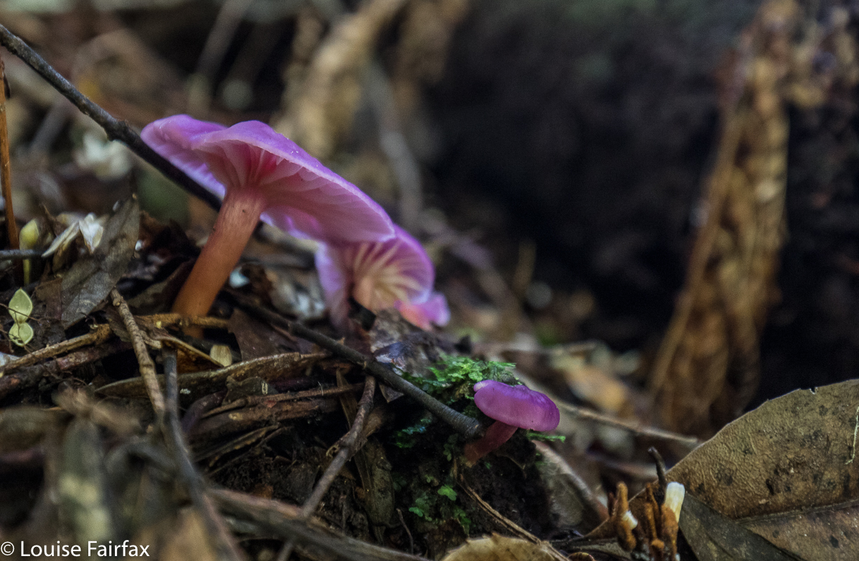

Hygrocybe cheerli, I believe (near the later visited, Evercreech Falls.
But if you are up for a real adventure – if you wish to satisfy that primaeval spirit of ‘the explorer’  that still lurks inside some of us, and which, being the lucky, lucky denizens of a place like Tasmania that still has places that remain essentially wild (whether called wilderness or not), then you can get a map, spot a little line on it, and navigate yourself off to that waterfall, not having a clue what you will find. Such was the case for Carrie and me – and Tessa – on Sunday, when I decided our waterfalls for the day (well, the first two of our seven) would be two marks on the map in between Mathinna Falls and Evercreech Falls, up on a ridge to the east of Evercreech Road (and Evercreech Rivulet).
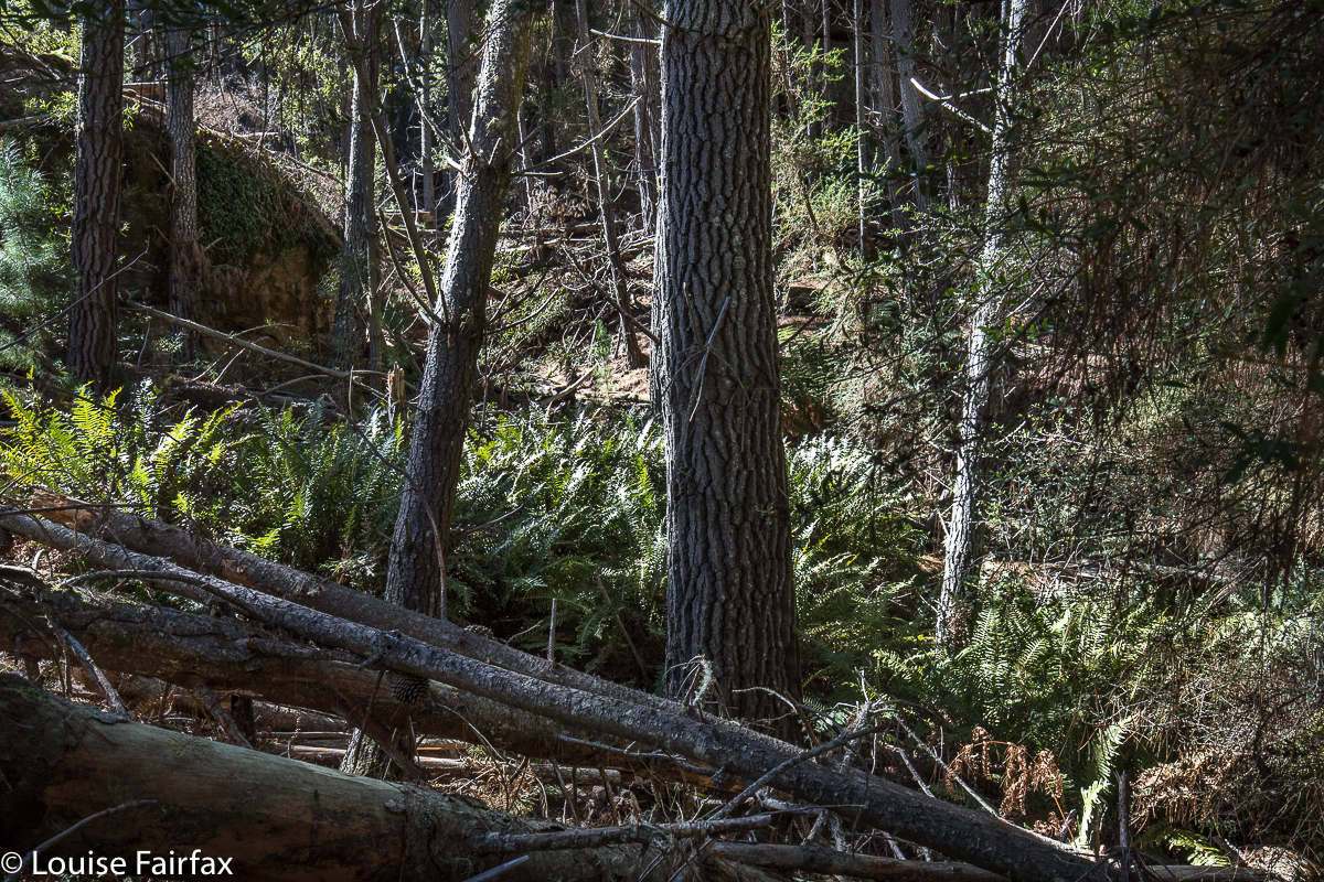

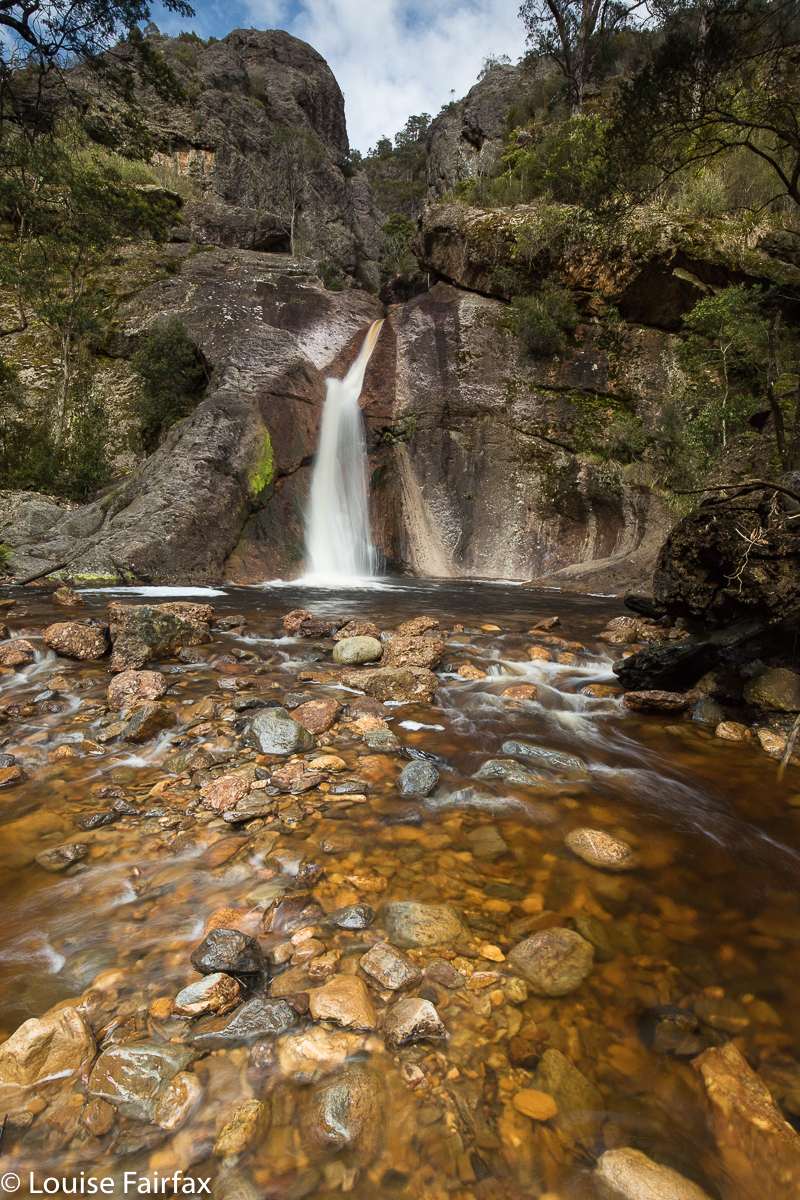
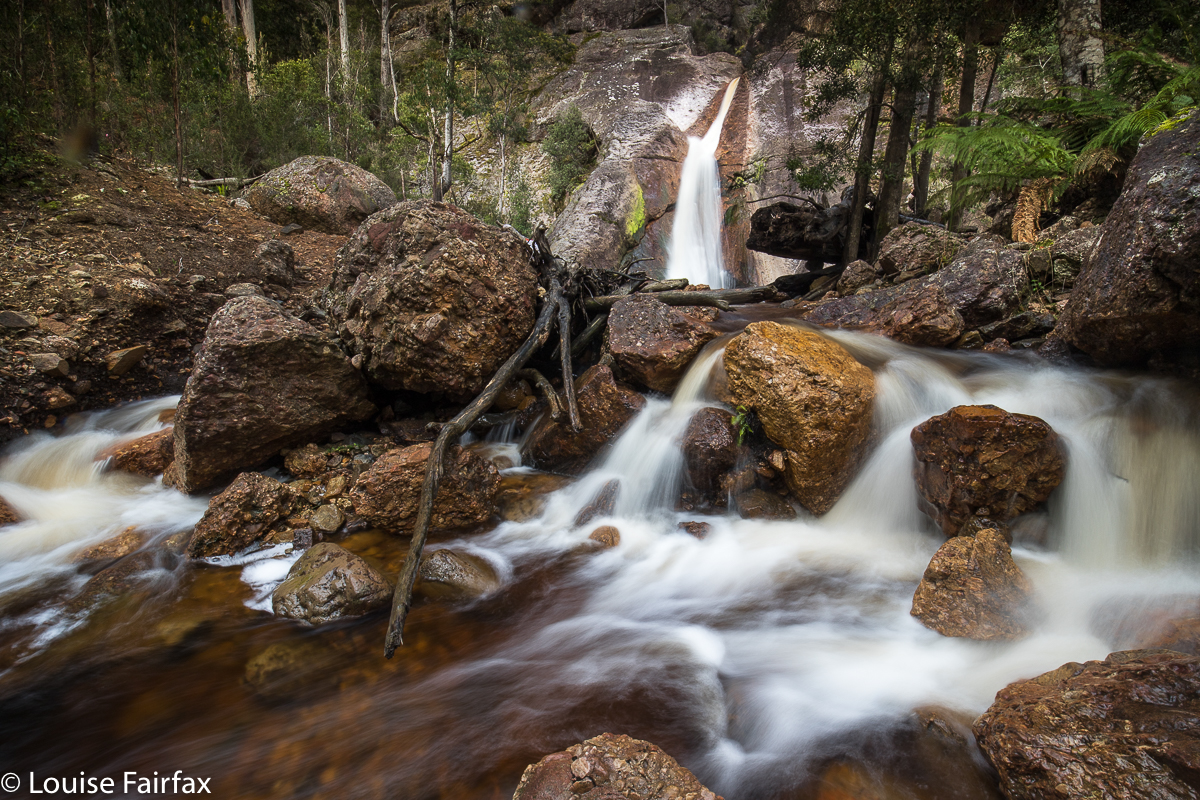
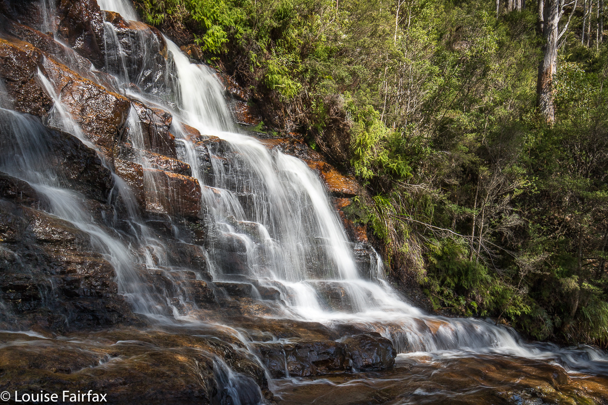
And of course, to be dubbed Dry Falls gives you no chance, ever.
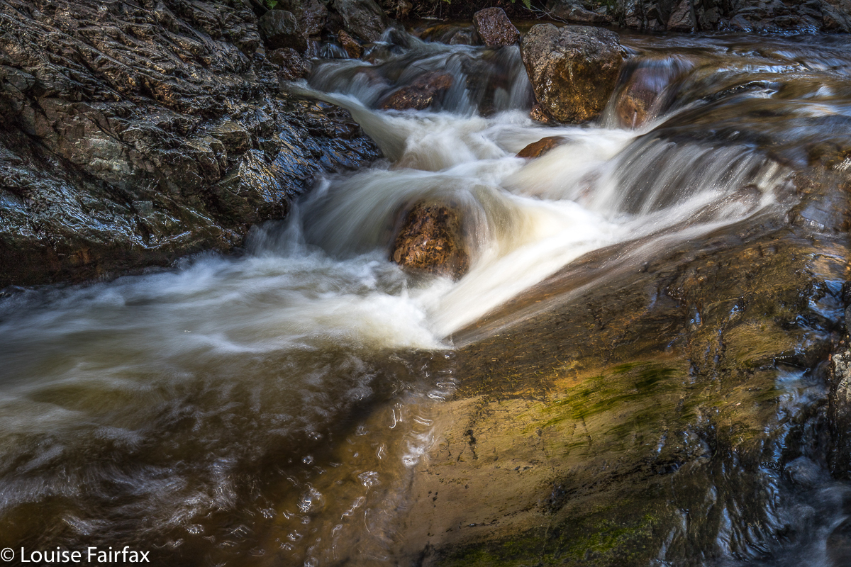
We both imagined beautiful rainforest like the forest surrounding the two falls of the big names. Not so. This forest was as dry as a bone, with fallen timber everywhere, and not at all appealing. Oh well, luck of the draw. We also expected falling water at such a mark on the map. Wrong again. As you can tell by the names we have given these falls so we can talk about them, the first had barely enough to get wet if you needed a wash, and the second would leave you utterly parched if you were thirsty.
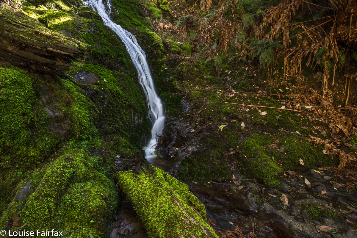

The consolation prize for the morning: Evercreech Falls.
But we are not sad. We took photos for the heck of it, but rejoiced in the adventure we’d had playing at being explorers. It’s a fun adventure, a fun life. However, we then moved on to our consolation prizes of Evercreech Falls and Mathinna Falls, which Carrie, living as she does way to the west on the NW coast, hadn’t yet seen. Evercreech and the first three tiers of Mathinna were repeats for me, but I never mind that.
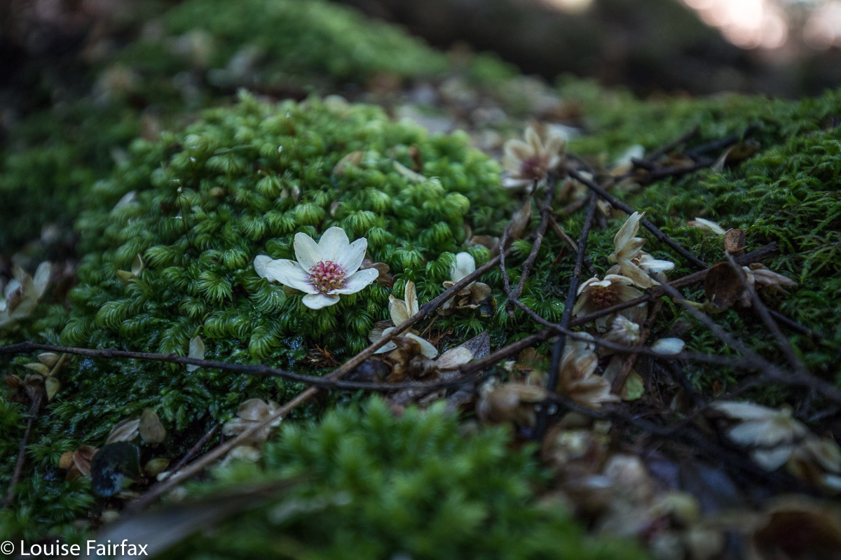

Fallen sassafras blossoms litered the ground and settled on the moss, like confetti at a wedding. It was wonderful.
The real adventure of the day turned out to be waterfall number seven, which was Mathinna Tier 4, a fun climb – a little scary – and a real feeling of triumph when we looked across at them. Omg, they are absolutely HUGE. We had that wonderulfly spooky feeling that very few humans on the planet today can have – the feeling that perhaps you are standing where maybe no humans have ever stood. The bush was very thick; the climb had been very steep on quite loose ground; we had pushed through rubbish to be where we were (with me breaking down several dead shrubs to enable our progress), and the view was not utterly brilliant, but we were seeing something very special, and it thrilled us. (For photos and report, see the blog on this that will be posted within the next day or so).
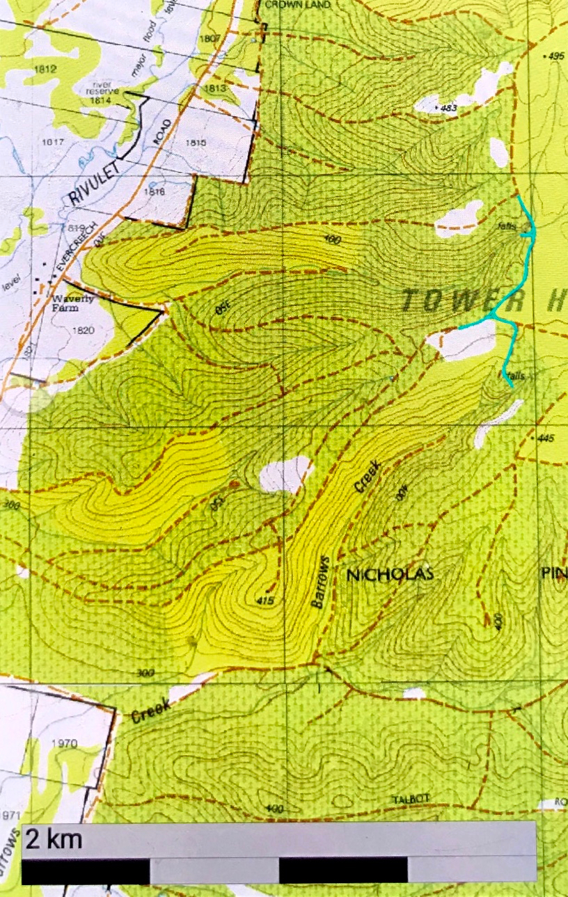

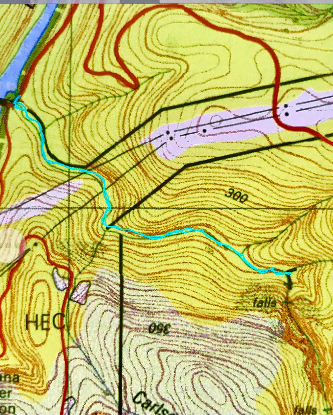
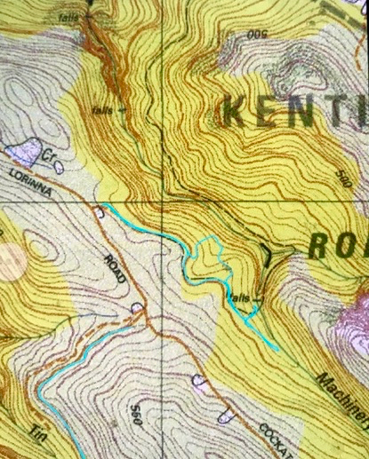
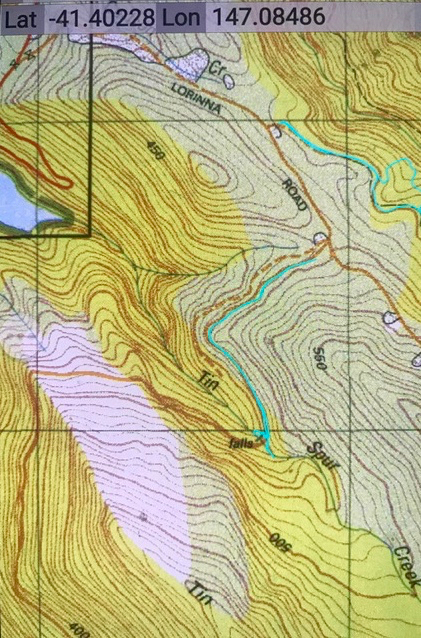
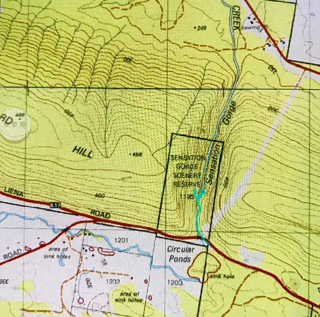
To get there, we hung a right (east) off Evercreech Road, climbing up to the left of the ridge of the knobble there. The road was dodgy. I was grateful that we were in my Subaru Forester and not in a 2WD. … And then the road became even dodgier, but we pressed on, and parked up the top. The cyan route is the walking part. You can see where we dropped down to the two falls concerned. They are “waterfall baggers only” type falls.

Sensation Gorge Falls 2018 Sept

Sensation Gorge Falls 2018 Sept 10th.

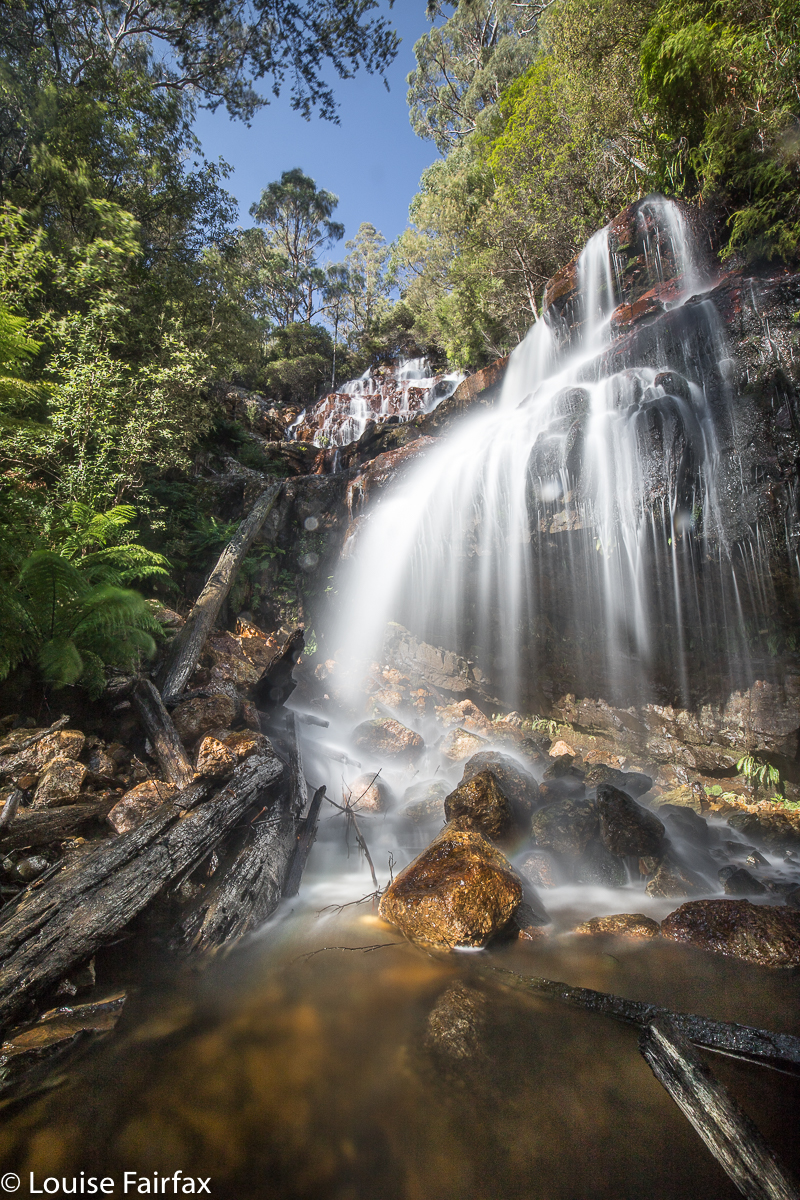
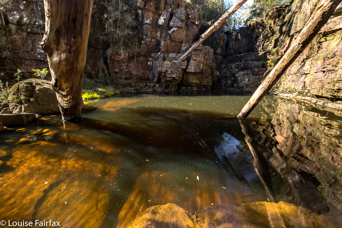
Sensation Gorge has an appropriate name, for it is, indeed, sensational. Yet at the same time, it is also serene. This seems almost a contradiction, but I did feel in the presence of something excitingly spectacular, whilst also having the impression I was encompassed by serenity. The grandeur of the gorge, emanating from a placid little stream minding its own business until it met with a mighty drop was somehow set within a context of great peacefulness. Birds sang; the Overflow Creek (now, there’s an unexciting name if ever I heard one) gurgled; the rich mosses did their shiny green beautiful thing. It was a wonderful day …. except that beautiful days are not generally good for photography of waterfalls.
I am having a little problem at the minute, as days that are considered good for photography (dull ones, perhaps with a little gloomy drizzle) are days that just make we want to stay at home and mope. Days like today, where the sun shines and the world is good and I feel like going places, happen to be the worst sort of days for my hobby of photography. If you arrive at your waterfall at around lunchtime on a sunny day, the dynamic range between the glare of the water and the darkness of the deep shade poses a problem, even if one comes armed with polarisers and other filters. I knew this would be a problem, but it was such a lovely day, I wanted to do something pleasant on it.

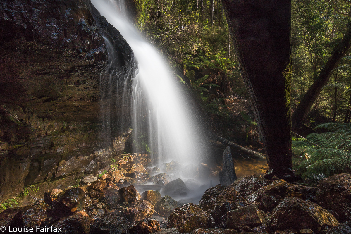
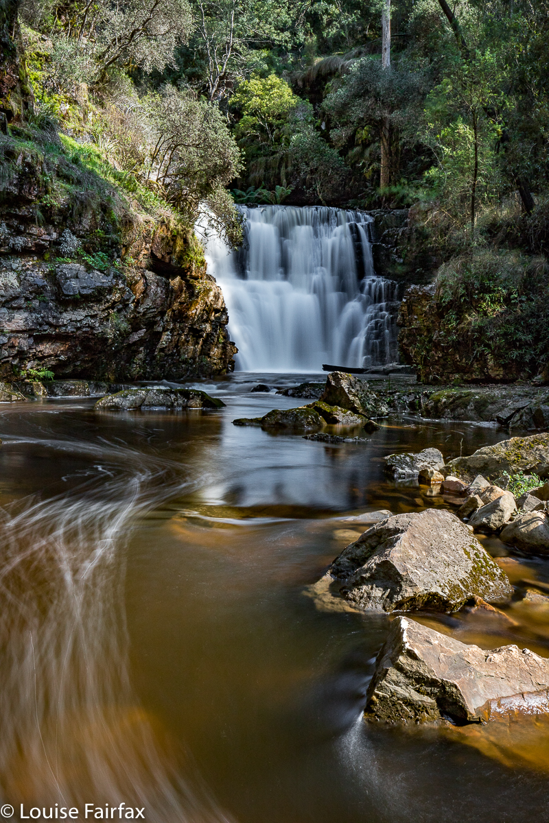
I parked the car and set out along the stream on the eastern side. A little pad was discernible, and soon enough, tapes appeared. They led all the way to the base of the second falls (pictured here). This is not a tourist route, however, even though someone has put tapes out. The going was so steep and slippery in the final descent that I had to stop and fix my tripod to my pack to free up my second hand, and on the way back up, I actually started sliding backwards, despite wearing proper bushwalking boots. Don’t consider this route in anything other than boots, and only do it if you are comfortable with steep, slippery slopes. It took me approximately fifteen minutes in each direction. I needed two hands for the steep part, both up and down. I eyed the upper falls longingly, but could not see a way to their base, and the sun was shining on them quite vigorously, so didn’t even bother with a shot from above. This was a nice little excursion from Launceston. Tessa and I had lunch, cake and coffee on the way home, and had the afternoon free to cart barrow loads of mulch onto the garden, and even to have a run in the gorge. I’m afraid thirty minutes’ exercise doesn’t keep me happy for a day’s tally.


(No. I did not climb up the cliffs on the other side. That is some glitch in the gps tracking. )
Coda to this symphony: On Sept 30th, I returned to this spot ready to climb to the base of the upper falls with my friend Carrie. We got there, and were very happy (as some had said it could only be shot with a drone, or from above). However, in the couple of weeks since I was last there, and despite rain in the interim, the falls were a dastardly trickle. We’ll have to go back after much more rain and get our tootsies a lot wetter – but at least we’ve bagged the base. Here’s what we saw:

Machinery Creek Falls 1 (Petrifying Falls)+ Machinery Cascades

Machinery Creek Falls 1 (Petrifying Falls) and Machinery Cascades.

This is your path. This pic is here just to give you an idea of the terrain.
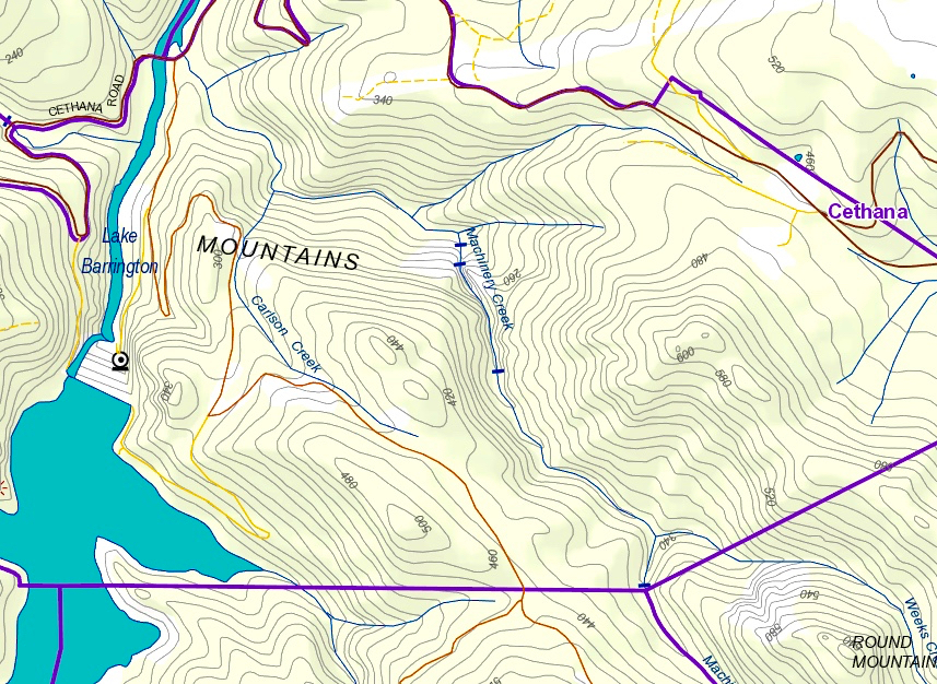
The first Machinery Creek Falls labelled specifically as “falls” on the map (see map at end) are actually above both the cascades pictured below this paragraph, and also above the falls pictured in the second section of this blog: they lie above the huge cliffs that lour over both these falls. I will post a screen shot of the List map below to try to clarify.  Because the cascades below are not on the map, I have just called them “Machinery Cascades” so we can talk about them together. I hope you agree they are very beautiful.

People on the Waterfalls of Tasmania Facebook page have called these Machinery Creek Falls 1, but this is wrong. They are “just” the Machinery Cascades. They are at least as big as Lower Chasm Falls.
I had been told to attack Falls 1 from below, from the intersection of Machinery  Creek and the Forth River, where there is a bridge. I had sussed out that spot, and the water looked quite deep in places after all our rain of late, so came armed with my long gum boots for the journey. I hoped water wasn’t going to come cascading over the brim. I also made two poles (which I don’t normally use) for balance, hoping to thereby protect my several thousand dollars of camera gear from a dunking should I slip.


These are the first giant falls you come to. They are called by some Machinery Creek Falls 1, and by cognoscenti as Petrifying Falls. Some think this name came from Hellyer, which is an interesting titbit of history. The next falls, “Falls 2” are up behind that huge cliff, and excessively hard to get to.
On the way up, I was tentative, worried about falling and damaging my gear and becoming unreasonably cold. I was not sure when to be in the water, and when to climb onto the banks, and, if the latter, which side. Sometimes I lost a little time clumsily climbing obstacles that really I could have got around had I been braver. I was much more secure and confident on the way back. I took 52 minutes on the way out, but only 41 mins on the rebound.

After I’d photographed the falls and cascade, I explored the side stream as a possible route to Falls 2. Despite all our rain of late, this was a dry gully. It made climbing up nice and easy, but I obviously wasn’t going to reach a waterfall way up above the cliffs, so retreated. The gorge to my right as I climbed (which contained Machinery Creek) was absolutely monstrous, but I could see no sign of another fall above it – but that is hardly surprising: the scale of these cliffs is whopping. Just look at the massive brown smudge of contours on the map in the area, and the black lines where cliffs are indicated. This is a valley of the giants, and exciting stuff. I could have taken hundreds of photos here, but didn’t, as, uncertain about my own safety, I had told both my daughters what I was doing and what time I’d be out, so they could raise an alarm if I didn’t emerge. When I do that, then I feel a need to be punctual, or I will bother people unnecessarily, and they won’t take my requests seriously. I will be back, for sure!

Just for your information, I read on the WoT Facebook page that these falls are “about a kilometre” from the intersection. Maybe I am pedantic, but I see a big difference between “about 1” and 1.6. Looking at the map, I had estimated 1.5, so was not surprised when my data read at 1.6.  In country that slow, and extra 600 ms is significant, so don’t count on doing whatever time it is you take to dash off a kilometre on the track. (The big blue strip on the map top left is the Forth River. The black strip across it is the Cethana Bridge).

.

Machinery Creek Falls 4 2018 Aug

Machinery Creek Falls 4. Aug 2018


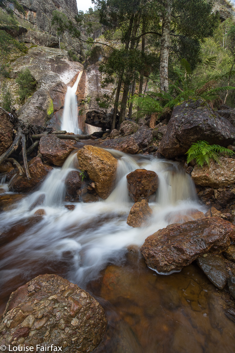
Machinery Creek has at least five waterfalls (one of which is Phillips Falls). Staring at the other four on the map, and being lured by their very existence into visiting each one, I called them, like a parent bereft of brain, Machinery Ck Falls 1, 2, 3 and 4. At least everyone kind of knows what you’re talking about – provided they start counting at the same end as you did. I thought the lowest ones, and the only ones people seem to post photos of, should be number 1. The water was maybe going to come over my gumboots if I went to falls 1, so I decided to work backwards for now, and begin at number four. Tessie and I ate lunch, and off we set. She does love this bagging business.


My noble waterfall bagging companion; adventuring together. 
The forest is really very pleasant in this area, especially now, in the cool and lack of glare of winter, and we enjoyed the roughly contoured section of most of the walk, only dropping to the falls after the last minute. I did actually go to where the track we were walking on crossed the creek, to see if we could see the falls from there, and, when we couldn’t, backtracked a bit. It was all a fun exploration. There’s still plenty left, that’s for sure.


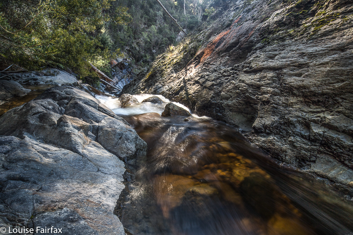
Looking back upstream from the head of the falls.
Standing at the top of these falls is like standing at Herods Gates. There is a hint of a whole world of wonder, just out of reach, yet adumbrated by the shadows and sounds. You sense rather than see the mighty gorges just out of reach ahead of you. I need to go back, preferably with company, to see more of this stunning area. For now, we explored Falls 4, and then followed along above th stream for a while, just to see what we could see, before taking a good spur back up to the road we’d originally walked along. As wth Tin Spur Falls, there were lots of shades of orange in the rocks, and tannin in the water, so that the colours were wonderful, especially when contrasted with the green ferns.

Tin Spur Falls 2018 Aug

Tin Spur Falls Aug 2018


Being one of those odd individuals who spends some of her time map-staring, I had noticed a waterfall on a creek named Tin Spur Creek, and, being highly imaginative, had named the falls “Tin Spur Falls” and added them to my ever-expanding bucket list to do some day, one day.
Very recently, a photo got published of these falls that looked very beautiful, so I was spurred to push it up the queue. The trouble was, however, that the people who had been to it made it sound like the descent was a VERY BIG DEAL. Yes, it was steep, and yes, some of the footing was a bit loose, but I have experienced a lot worse than this one. Anyway, as I was expecting dire dangers, the reality was rather pleasant by comparison.


However, if you are not very experienced, please don’t use that judgement as an indication that it is easy. ‘Hard’ and ‘easy’ are words that are VERY relative to the user. I have now climbed nearly all of Tasmania’s Abels (high mountains at a rough summary), and have visited about 140 waterfalls. I am thus making comment on this waterfall from a base of a great deal of experience. I would not, for example, ever bring a bushwalking club down that slope. I was nervous about taking Tessa, but she coped admirably.


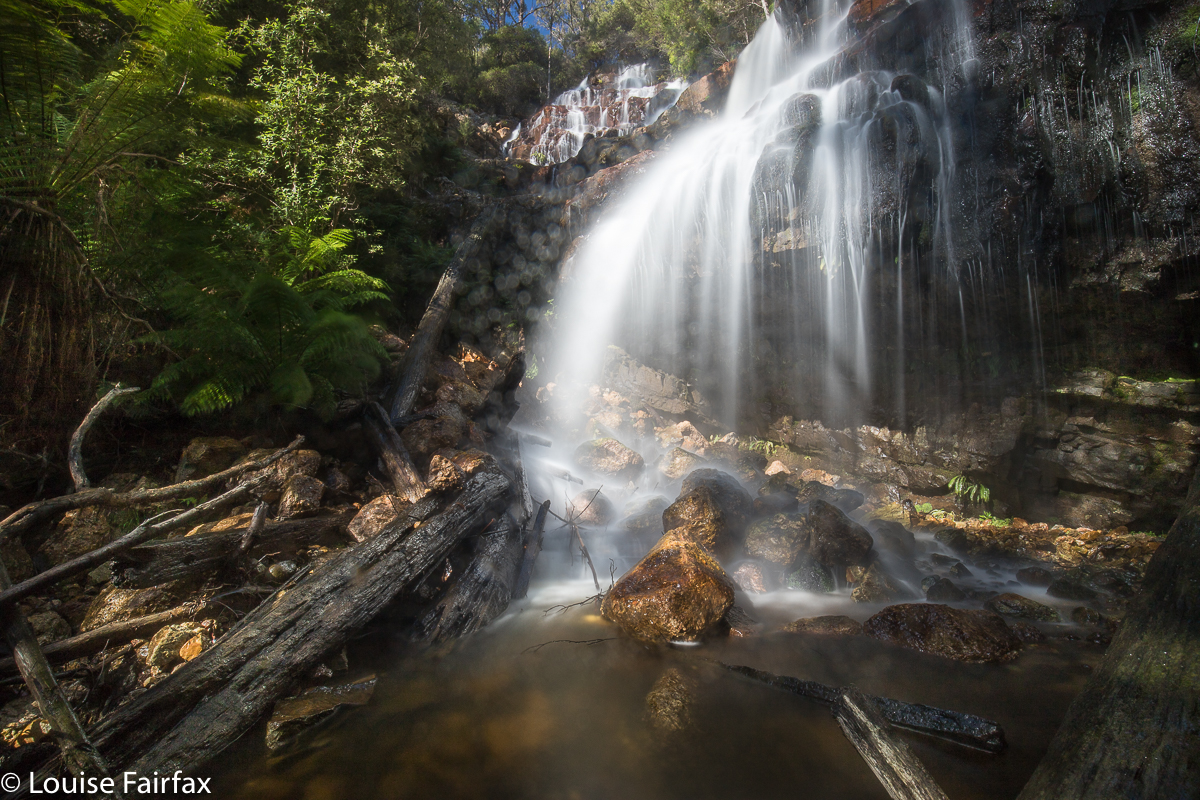
She and I loved these falls so much that we lingered around their fine spray for over an hour, photographing and also appreciating the delicate tracery of water as it made patterns cascading over the jutting tangerine rocks. I was sad when it was time to go back to the car, but I was hungry by then.


On the logical approach to the falls, you will come to a locked boom gate across your path, so you need to park and walk further than you might have expected ( a whole 12 minutes in each direction). Both Tessa and I enjoyed that walk on contour before we began the tough stuff. It was a time to look at the scenery and dream, and to marvel at the lake spread out below us, shining in the sun. I would not have enjoyed the waterfall quarter as much if I had been able to park right next to it. I wish all waterfalls had at least a 30 minutes’ walk to reach them. That would help protect them against many of the vandals who terrorise their vicinity. I would postulate that there is a strong inverse relationship between ‘car-to-falls distance’ and destruction to a fall – or to any item of nature. Generally, the further you penetrate into wilderness, the lighter is the human tread.


If you don’t feel up to the challenge of the descent, I think it is still very enjoyable to walk on the closed road to the top of the falls and enjoy what that area has to offer. There is a little track to the left, going upstream from the road; Tess and I explored a bit of that as well. Hunger cut the exploration short.