Cephissus Falls 2016 Mar

Cephissus Falls and Creek 2016
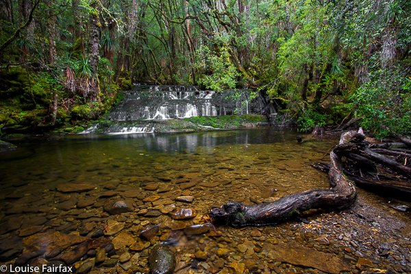

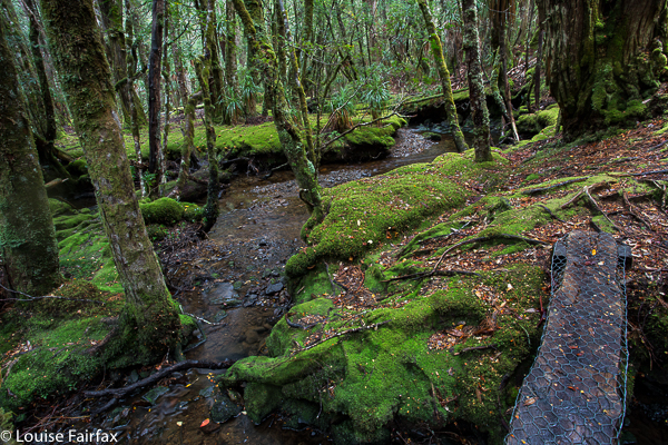
Normally I am rushing past the Cephissus Falls on my way to higher ground, but in March 2016, when we were on our way to climb Hyperion, the weather was so horrid we stopped short of our goal, and used the comfort of the hut for the night, This meant that I could spend some time at this beautiful waterfall, get out my tripod and see what I could capture. Unfortunately, the flow was less than exciting, but the lushness of the greens in this area always thrill me.
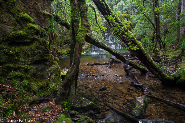

However, I mourn for this area already. Strident voices with a certain twang are complaining that the “facilities” of the hut are not up to scratch. They want more beds and more of … well, who knows what. I love it simple, just how it is, with what it used to have – genuine bushwalkers with stories to tell having fun in a remote place. I don’t want brash tourists who are clocking up comodified experiences and totalling this and that conquered place from some insta check list, rather than just listening to nature and enjoying it. Guide books are sending tourists there, and my beautiful little haven is no doubt going to be ruined by the building of some monstrosity like the replacement of Windy Ridge Hut – Bert Nichols I think it is now called. I hate it so much I won’t even eat lunch there. It has no soul, like the people who need such places in what used to be wilderness. We have sold our soul to tourists. Who cares for earthly riches when you have nowhere left for your soul to soar?
Philosopher Falls 2016 i Mar

Philosopher Falls 2016 i Mar

The beautiful path to the falls
It was raining. We were in no particular hurry to dash up to the Tyndalls, our ultimate objective for the day (and only a one and a half hour jaunt), so we decided it was perfect weather for visiting the Philosopher Falls, which were kind of en route.

The track unfortunately eschews the Arthur River for most of the way, but you do get to cross it at this point. 

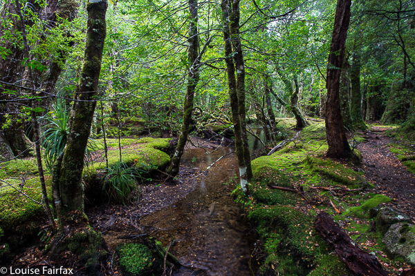
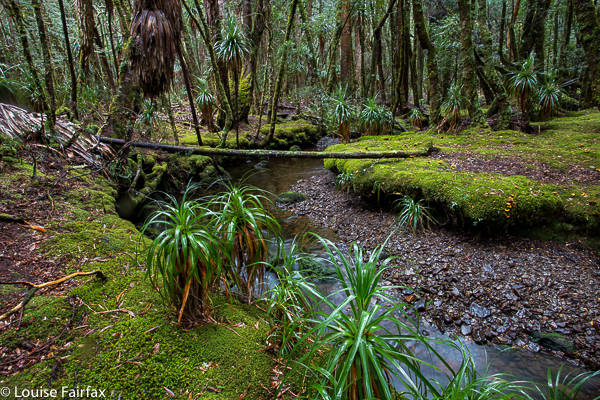
The Tarkine here was beautiful and, to my delight, the first of the autumn fungi were starting to appear, set in a context of lush green ferns, moss and lichens. We were excited, but this was marred somewhat by our arrival at the end of the track, which dumped us at the TOP of the falls. Who wants to see a gaping hole with a bit of white splash, hinting at the real thing below? Not me, and not any of the other tourists we met. All reported disappointment.

Being a little more obstinate than your average, I decided to rectify this matter by climbing down the very steep cliff below me (so steep you couldn’t actually see where it went), despite the fact that my camera gear was around my neck, swaying and banging and not in a rucksack, and that I was only wearing runners. Bruce at least had on boots, but is not exactly equipped for such Tarzan acts these days. Down we plummeted, hoping for a controlled landing, and not a death-inducing lurch should one of the branches decay in our hands. (Sorry reader. They’ll no doubt now put up one of those huge ugly notices warning you that this is dangerous, as if you didn’t have the brains to work that out for yourself.)

Landing down by the Arthur River (and still alive at this stage), we still couldn’t reach the falls – or not dressed in the clothes we had on, and not with Bruce, whose capabilities had already been more than tested by this stage; I don’t think too many able-bodied people have lowered themselves down that cliff. I made a tactical withdrawal, and returned to the top, so tense with the responsibility of choosing a route suitable for my husband that I didn’t even photograph the magic fairyland through which we moiled. If you have information on how to get to a spot where you can actually see these falls, I would be most appreciative.

To add insult to defeat, the sun came out, so it was totally useless taking a photo of the tiny bit of splash you were allowed to see. I departed empty handed, but with some fungi shots that I rather love. Hope you do too.


Guide Falls 2015 Dec

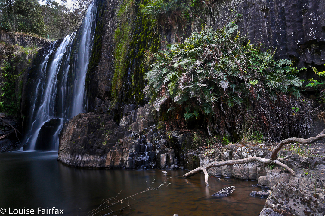
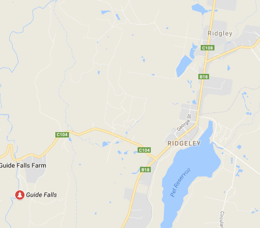
The Guide Falls are only a short distance from Burnie. Head south on the B18 towards Ridgley, after which you’ll see a clear sign pointing you in the right direction (initially, on the C104). These Falls were delightful, although I hated seeing the old-fashioned wire and steel railing to keep me from falling off the edge.

Guide Falls, near Burnie

Oldaker Falls 2015 Dec

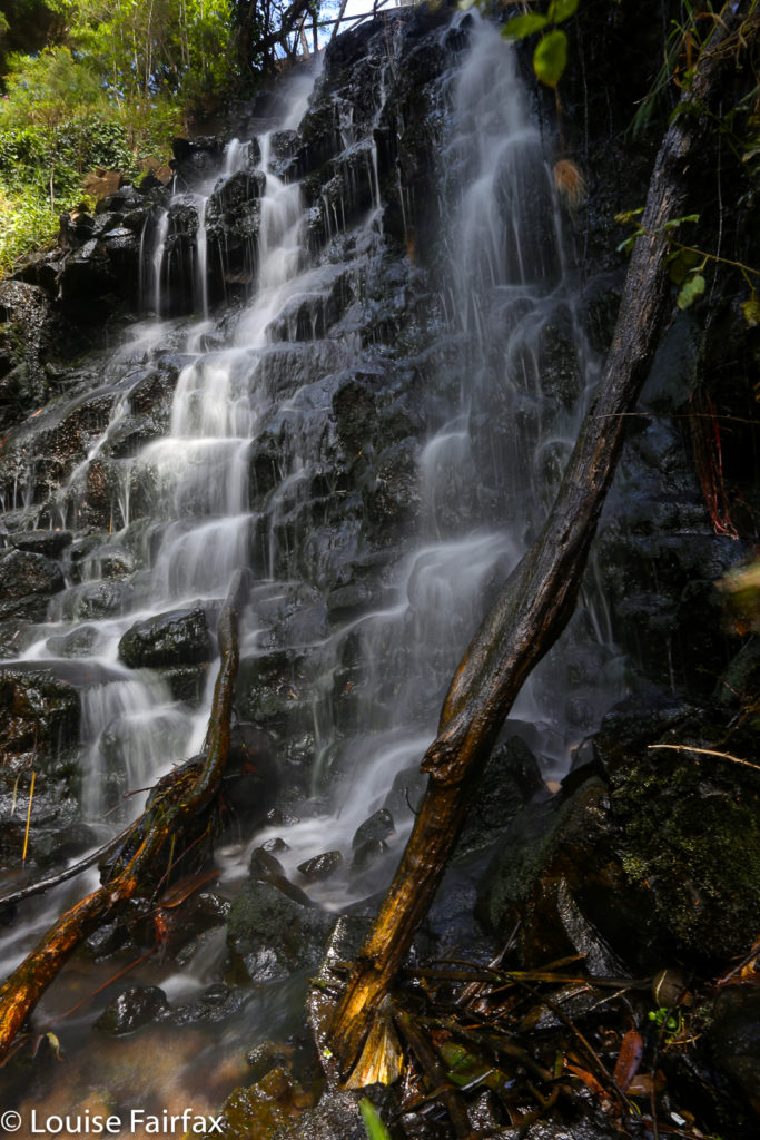
The Oldaker Falls are situated in the upper section of Burnie Park, right in the centre of town (kind of) – there for all the locals to enjoy if they move their feet just a little. There was an unfortunate amount of rubbish at the base, which somewhat marred their impact. It seemed odd that council would build paths to the falls, yet fail to clear the base of debris. They’re still worth a visit, especially if combined with one or two of the many other waterfalls on offer in this region, such as the Guide Falls or Upper Cam Falls (see separate blog posts).


Oldaker Falls, Burnie Park

Snug Falls 2015 Dec

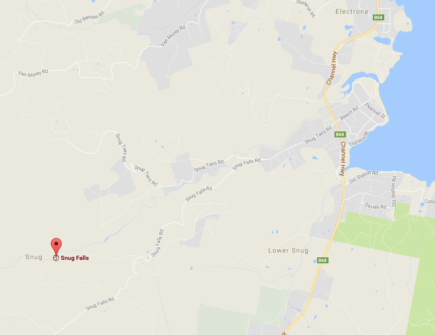
To reach Snug Falls, follow the Channel Highway, (B68) south from Hobart until the village of Snug. Just after it, turn wettish onto Snug Tiers Rd, and then fork left onto Snug Falls Rd. Signs will direct you to the parking area, from which it is a 2.1 km clear walk on a track to the falls.


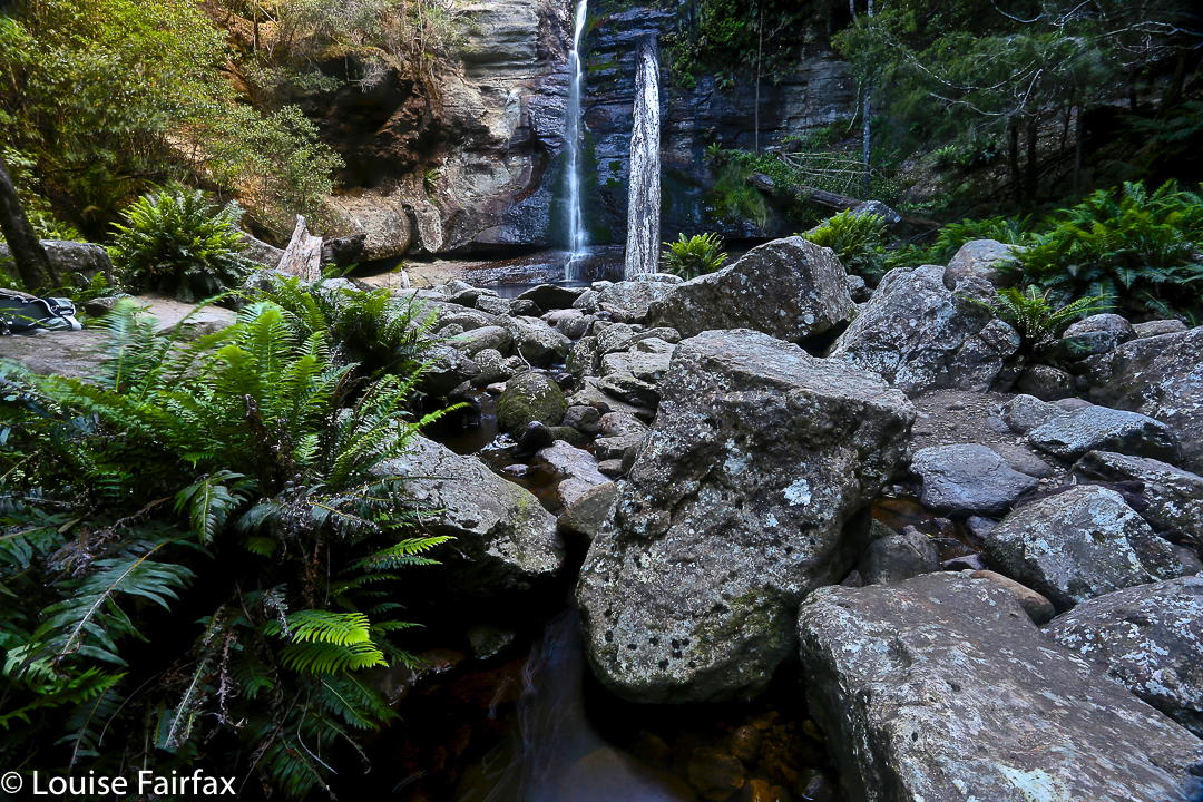
Snug Falls (south of Hobart) view 1.


Snug Falls view 2.