Wylds Craig Feb 2012

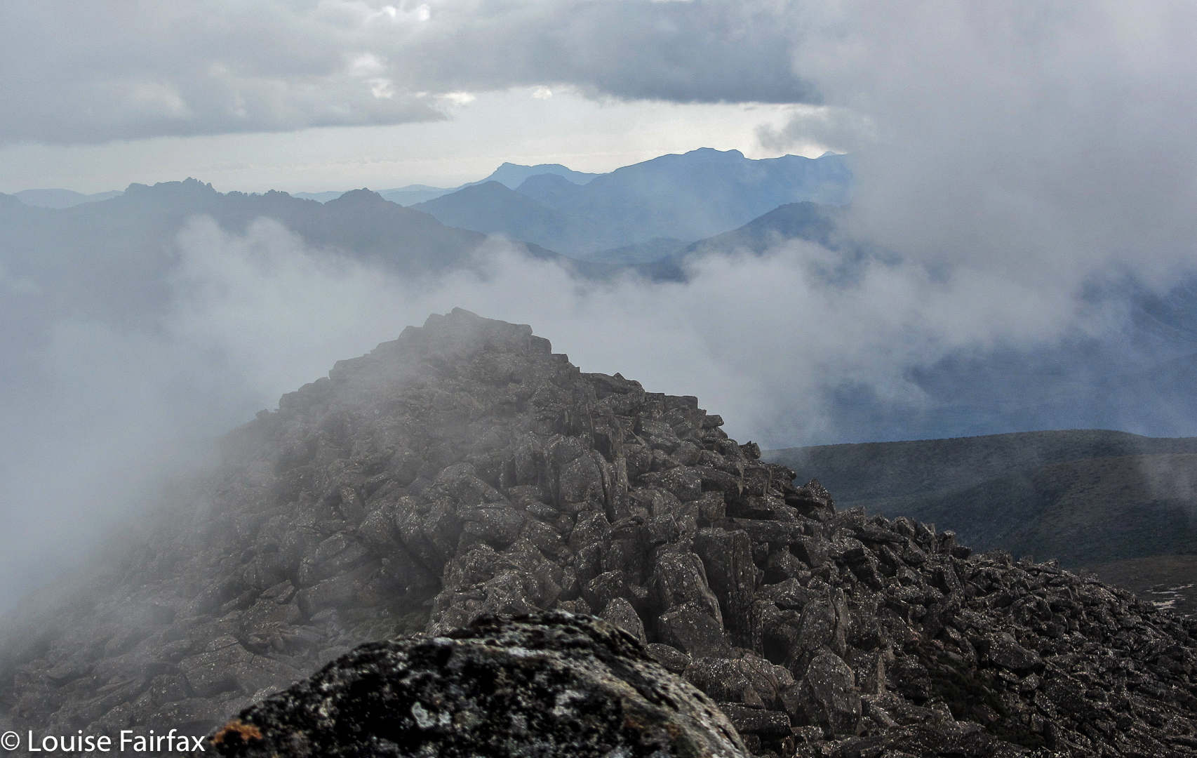
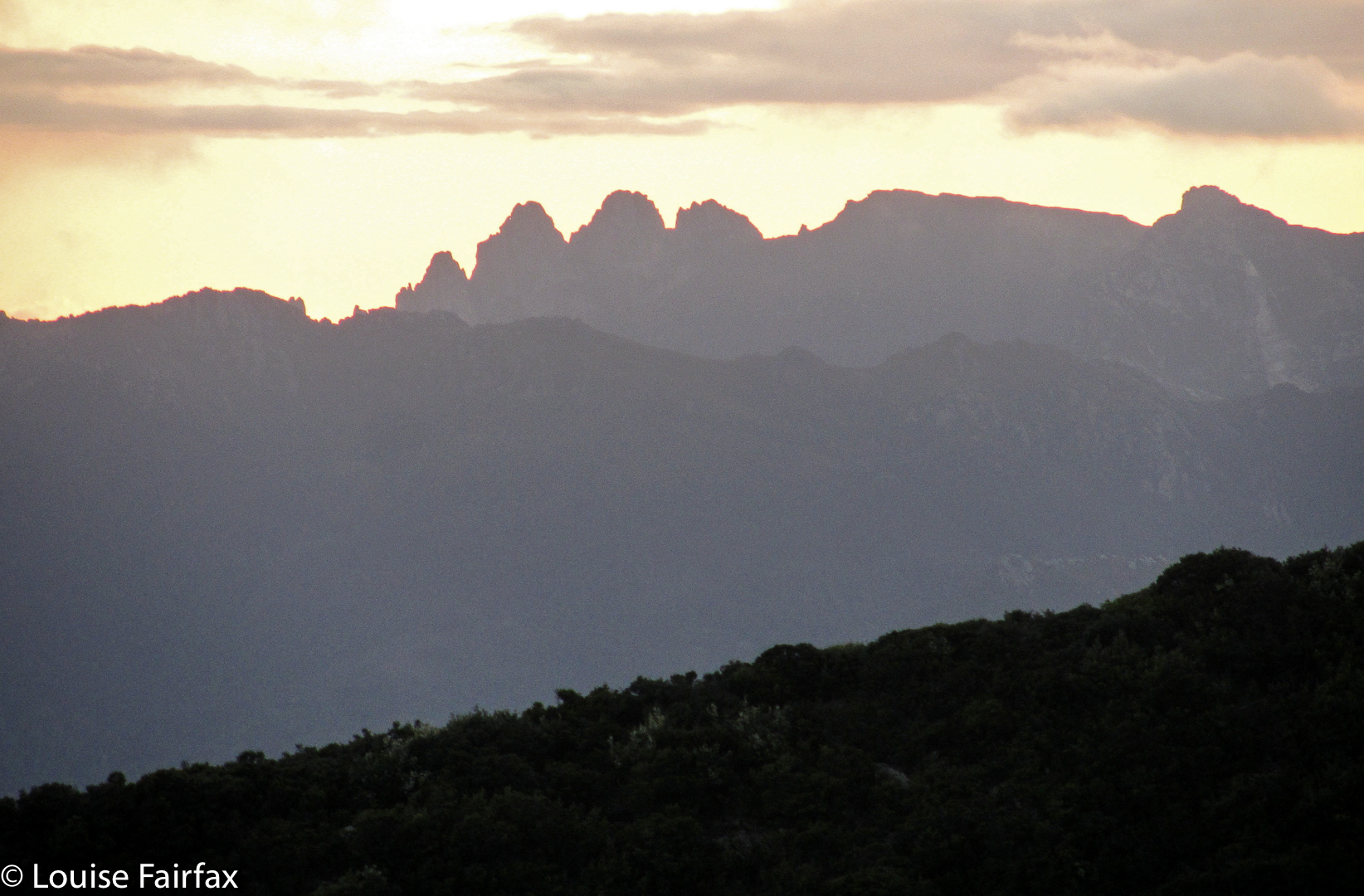
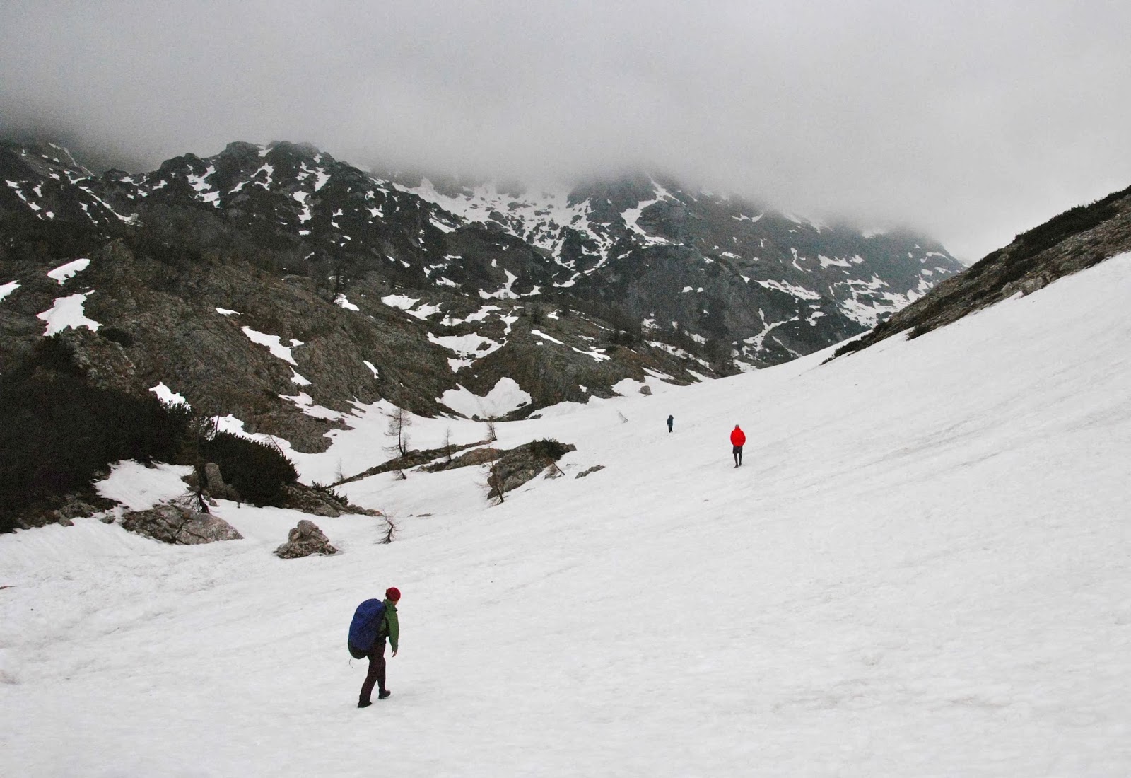
Wylds Craig  Feb 2012. My second ever off track mountain.

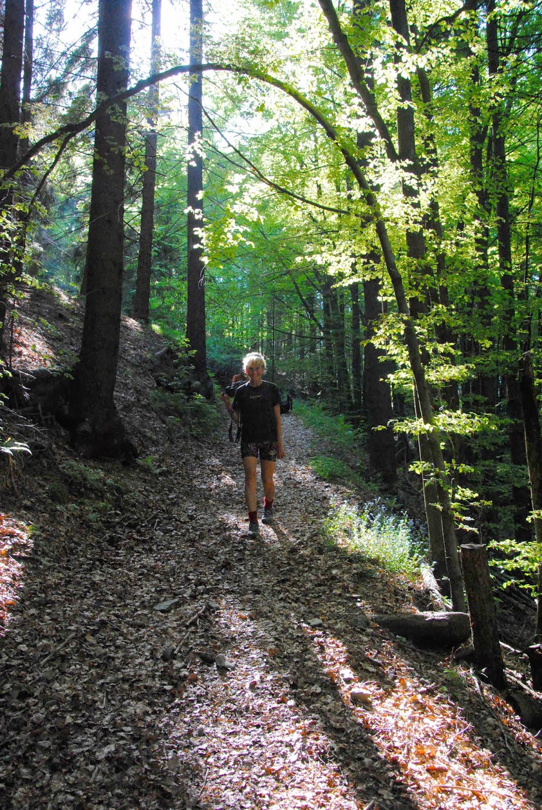
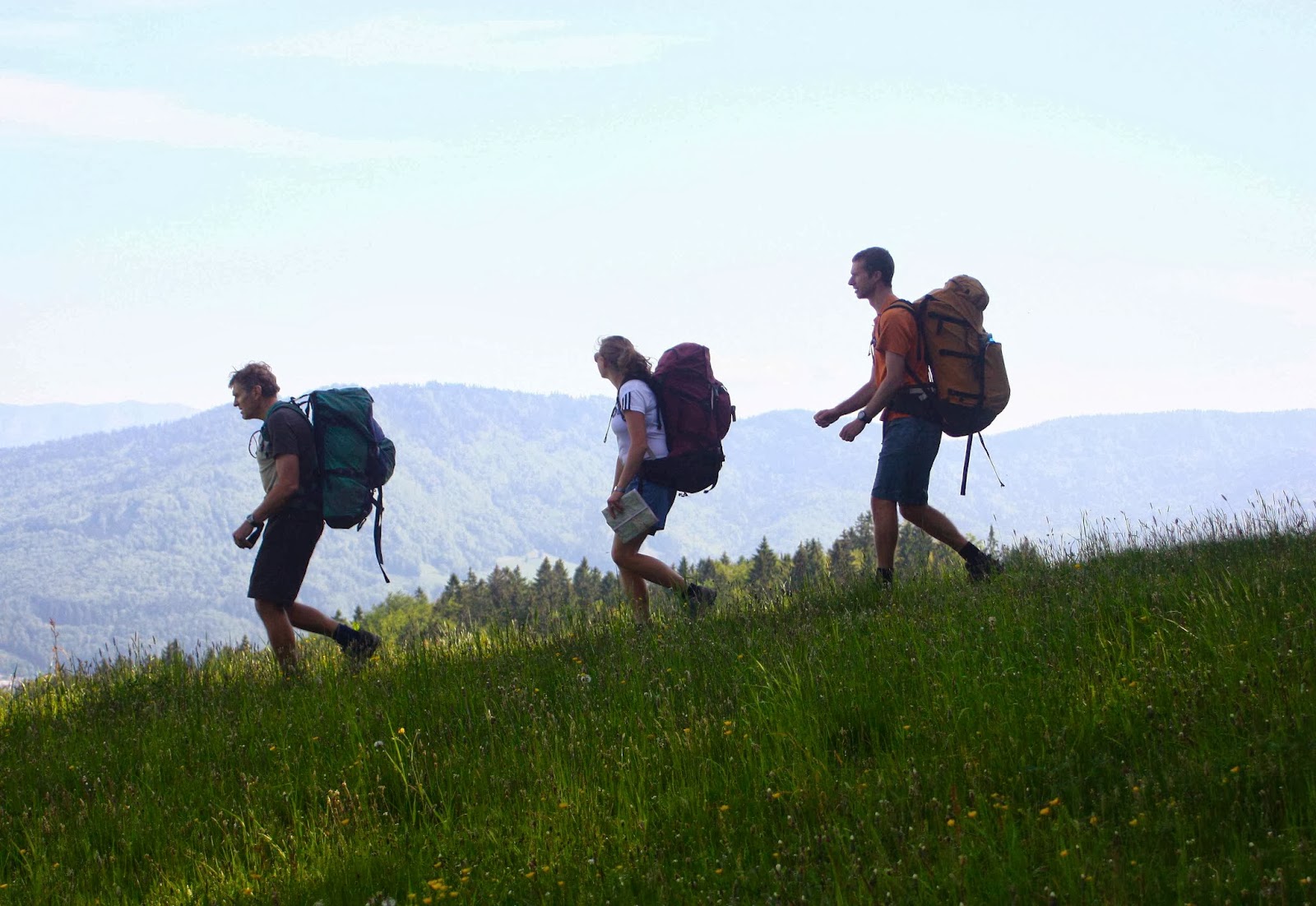
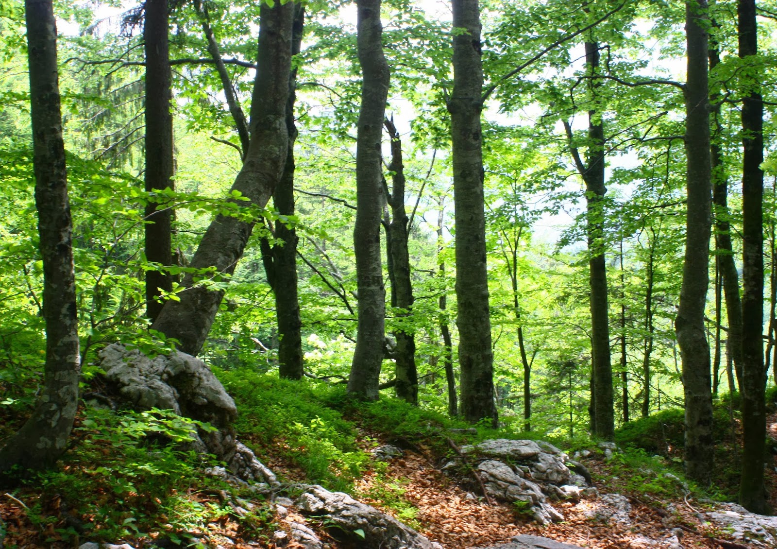
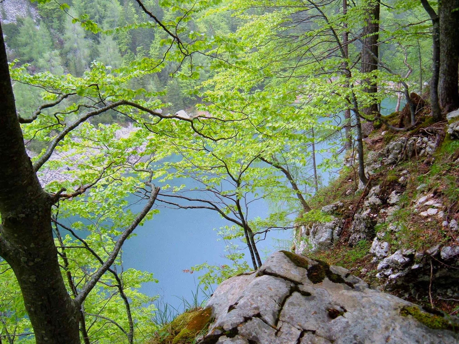
The day we chose to climb this mountain, it was hot – especially as we set out straight after lunch, but once we’d entered the lush coolness of the rainforest, the canopy and moisture kept us comfortable. I climbed alone with my husband who has Parkinson’s disease, as we were too scared to climb with a group in case he held people up. As it turned out, he climbed brilliantly, and we need not have bothered – but we didn’t know that before he did it. Later, people said we were crazy to climb in that heat, but really, we didn’t notice. It seemed to us that very soon after our departure we were crossing Goodwins Moore, the last section before the summit and our camping site.

We arrived, chose a lovely spot in the pineapple grass with a magnificent view to pitch our trusty tent, and decided for an early ascent. The summit was only five minutes away, so I presumed we’d be climbing it a few times. I wanted photos taken now while the light was good, and then later in the golden rays of sunset when the others would have joined us. It was lovely to have the summit to ourselves, and then later to share it with the others.


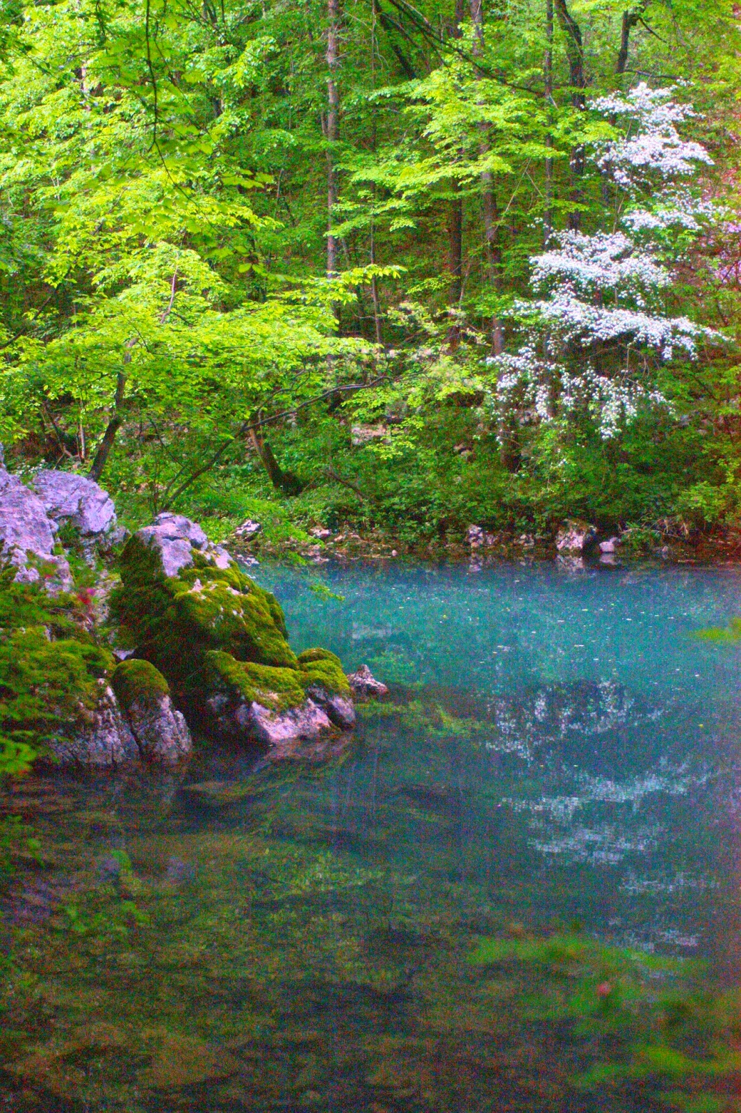
The only drawback to the site we’d chosen, and a point of mild concern, was that all the tarns had completely dried out in the late summer conditions of lots of sun, no rain and drying winds. We had absolutely no liquid: the last water we’d crossed was 50 mins ago. This would probably only be 25 or so on the way down, and 35-40 on the way back up as I wouldn’t be carrying my pack, but it would be a lot better if we could find a little tarn that hadn’t dried out. Hoorah. From our eyrie at the top we could see the sparkling glow of a tarn that was possibly only about ten minutes from our tent. Wonderful. I’d visit that when we got back down. It was the only visible water on the whole mountain.


When we got back to the tent, I left B to relax and took as many containers as I could to fill them. The water was cool and clear, and I enjoyed washing myself down with its soothing moisture as well as drinking from its pure freshness. There was plenty of water there for everyone.
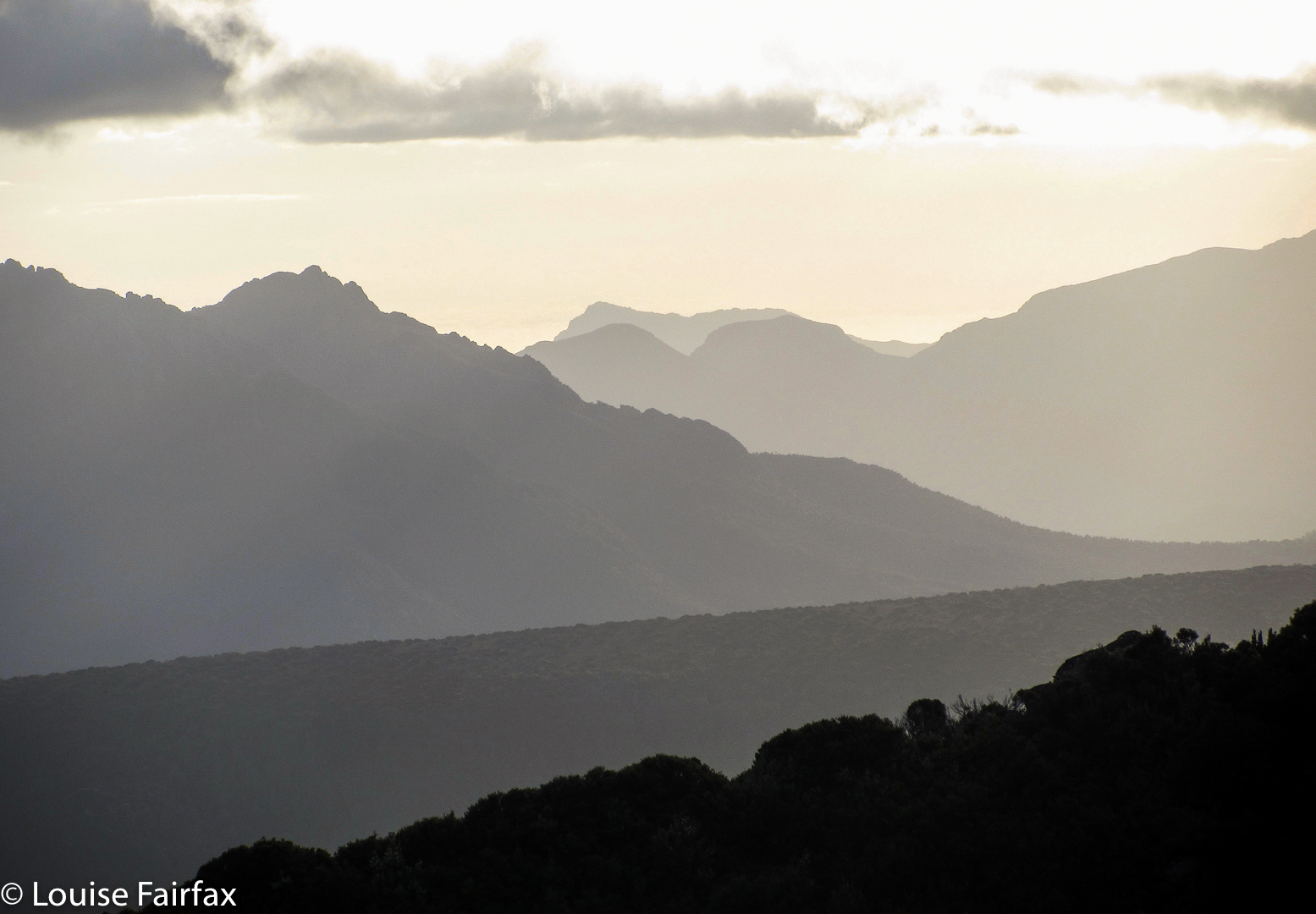
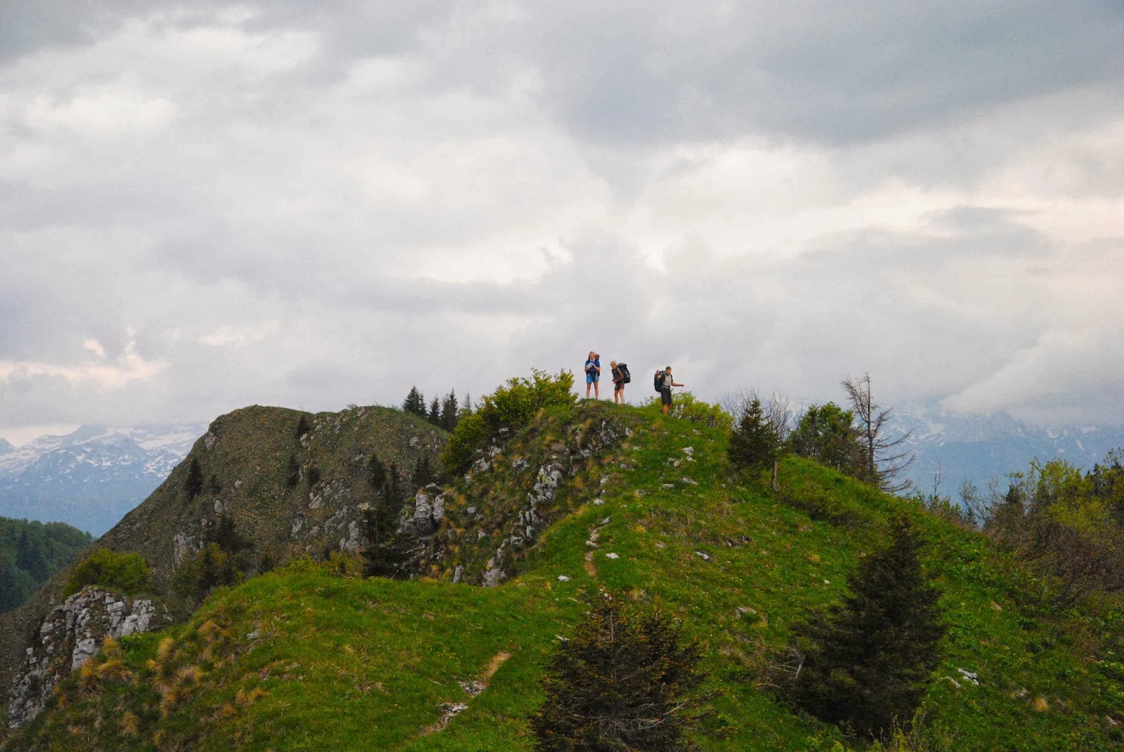
For the rest of the hours while we waited for the others, we lay in the soft grass outside our tent and read. How relaxing. Each time I was due to turn a page, I would survey the glory of the scene before me before continuing.

 
Eventually the others arrived. It was now 7 pm, and they were eager to get to the top to watch sunset, so we all set off – they without any dinner. We had eaten ours waiting; I did not envy them the presumed hunger. The view as the light faded and the sky turned roseate was stupendous. We all stayed there until there was almost no light left for the return descent; it was too lovely to leave.


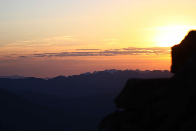
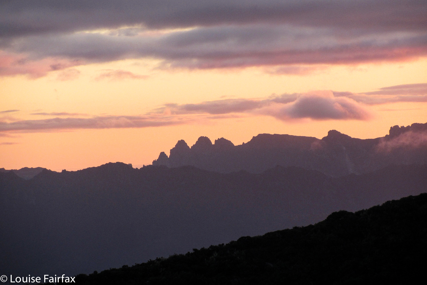
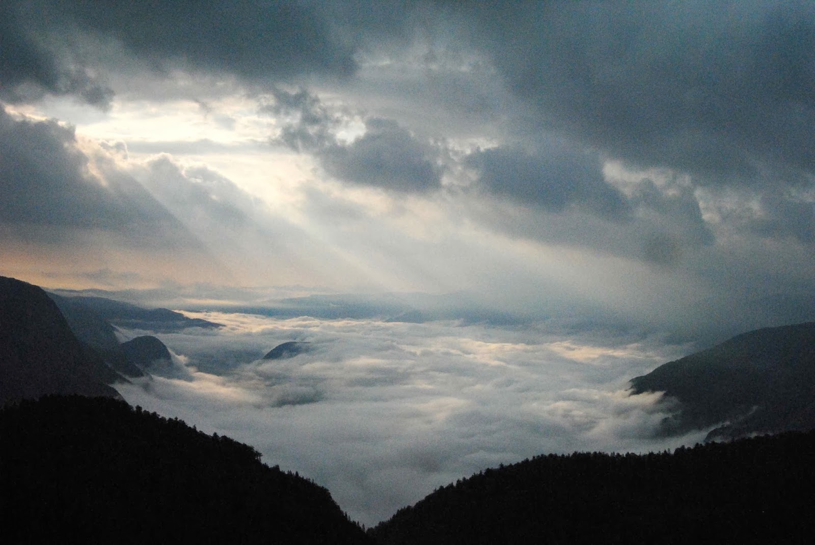
Next morning there was a fiery orange glow to the east with everything else a pitch-black silhouette as I emerged from the tent. We had set alarms to enable us to climb again and watch sunrise from the top before dropping to the tents for breakfast.

I took too long over breakfast, lingering in a relaxed dream over my porridge, coffee and biscuits. Before I knew it, the others were ready, tents down, packs on, but we had neither depitched nor packed. I did the fastest tent dropping job imaginable, threw B’s pack together, sent him off with the others, and began a more careful pack of what remained. I’d give chase as soon as I could. I sighed with relief as I saw from above that he’d caught them from behind, and concentrated on decamping as quickly as I could. I’d caught them before the first break.


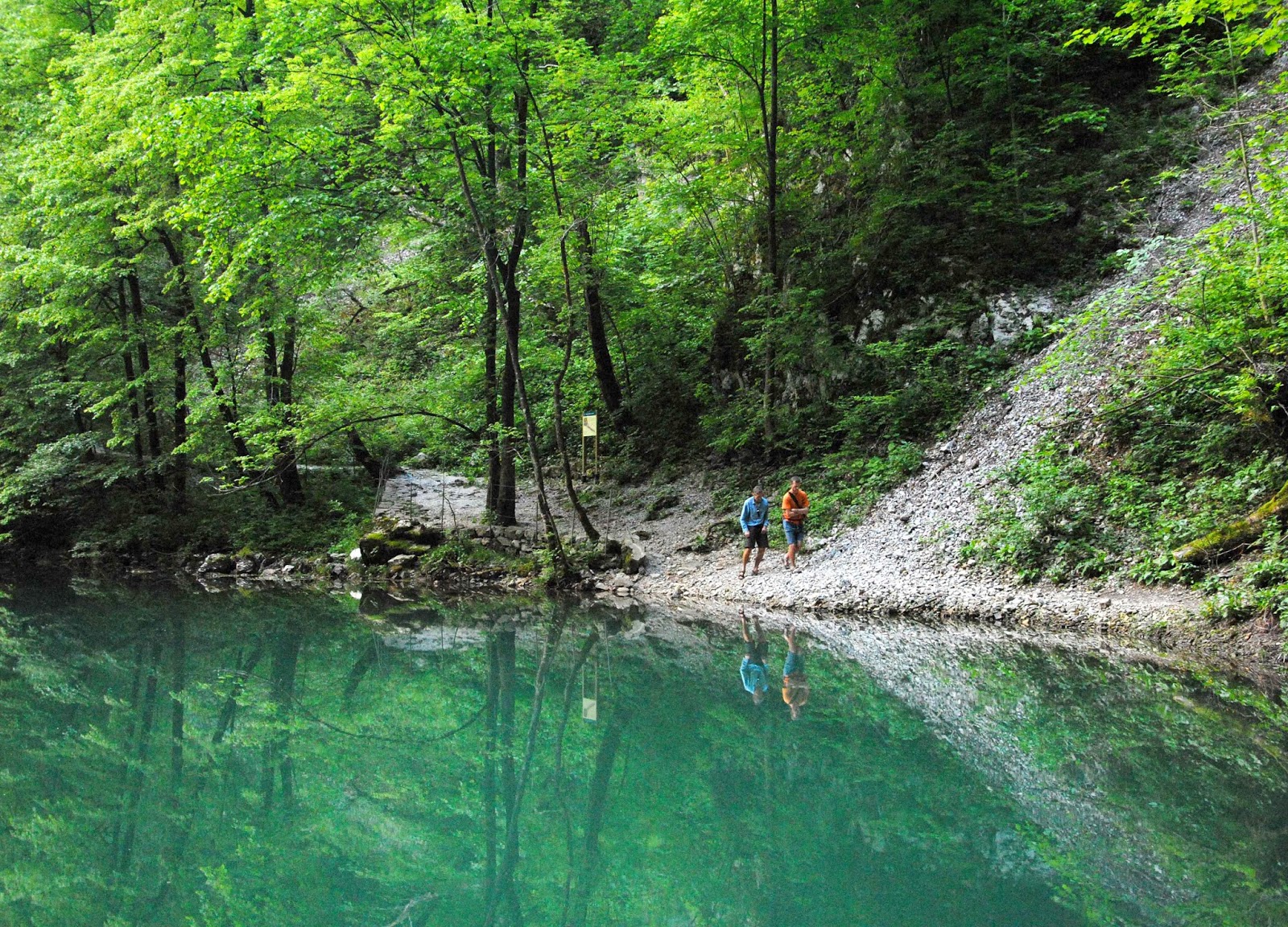
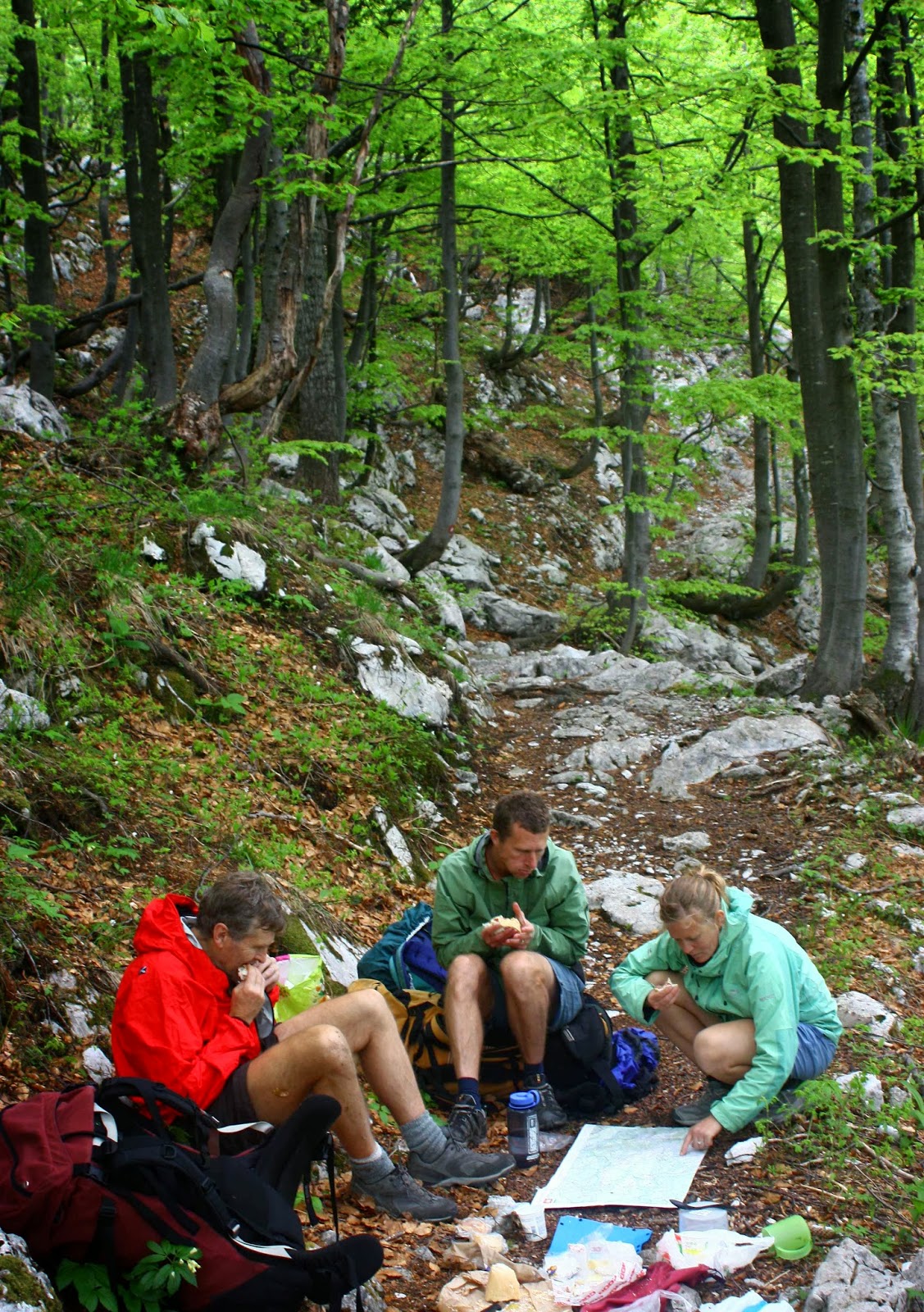
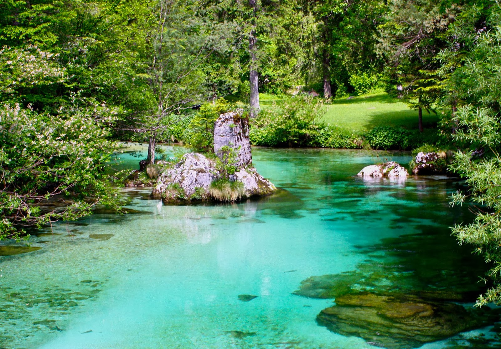
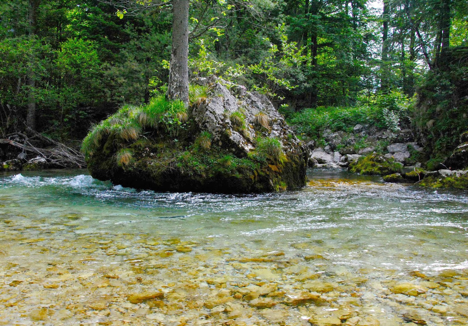
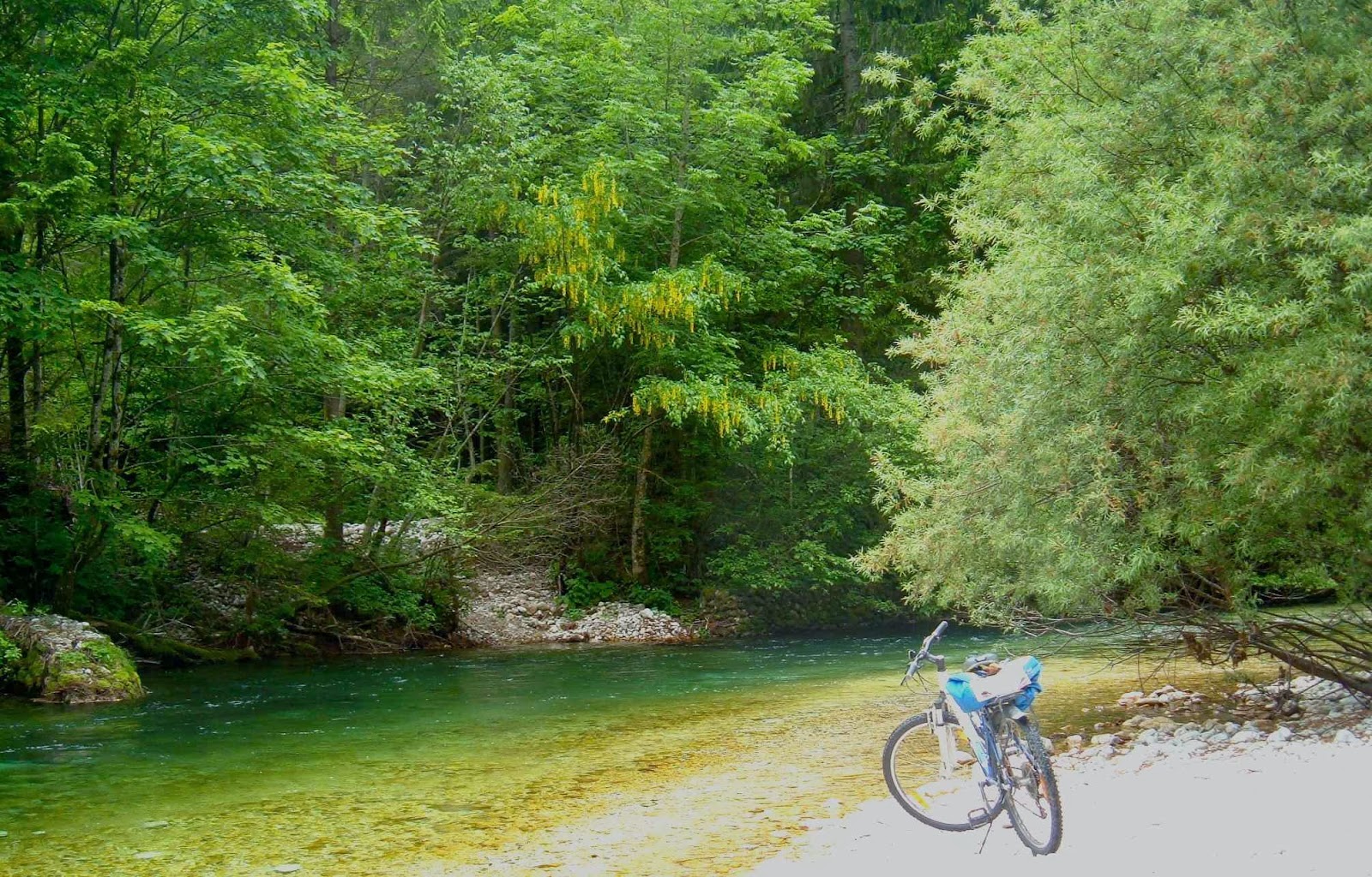
We descended and chatted, enjoyed the views and ate the goodies that people had brought to share. It was hot, so once we’d reached the car, the suggestion of a swim in the Florentine River was most welcome. The water was freezing – way too cold for me – but it was fun getting wet anyway, and enjoying the last of the rainforest before it was time to go back via the best pie shop ever at Hamilton.

Picton 2012 Feb

Mt Picton, Feb 13, 2012.  The first mountain in my peak bagging “career”.
Of course, I didn’t know what peak bagging was at this stage, but this was the first mountain where I consulted the Abels book and steered us up a mountain that didn’t have a track. Much, much later, I would begin ‘collecting’ them. At this stage, I ticked this mountain in the back index: an act that led me down a path on which I wanted a dirty page full of ticks.

 I had decided I wanted to join a walking club so as to get to know likeminded people, but, having a husband who has Parkinson’s disease, I was a bit scared about making this move. Perhaps he would be far too slow and clumsy for a bunch of experts. Maybe I, too, had lost too much fitness to belong in such a group. I phoned the leader and suggested that Bruce and I arrive and climb early, so he couldn’t slow anyone down, and that we’d meet them all at the top of the mountain.

I needn’t have worried, but it was good to be sure. I don’t like putting others out. However, Bruce made it up the quite difficult mountain without disgracing himself or imposing on the good nature or patience of the others. In fact, given the description of the track, and the characteristics of the terrain, his first hour and a half had been exceptional. The ground had been slippery and very steep, muddy in places. Some sections were so steep that there were ropes in place, and the obstacles were many: the “path” was strewn with fallen logs, which were decked in a thick coating of moss and lichen and which had to be climbed over or under or along – each method containing difficulties when carrying a pack, and even more problems when one has Parkinson’s. The final half hour  – just pushing through bauera scrub – was easy for me, but Bruce found it challenging, as he couldn’t see the ground, so lost confidence. We pitched our tent and enjoyed the scenery, and at some stage later, the others arrived, just as we were ready to do the final leg to the summit. We arranged to meet on the very top.

I had never thought it would be at all possible for Bruce to reach the summit trig, and was shocked when he looked up and said he could do it. We ran into trouble near the very top, when the huge boulders formed what seemed like a maze that couldn’t be solved from the inside. In fact, I was making plans about where best to spend the night (there were some rocky caves) as I could get him neither up nor down and the mist was closing in rapidly, when we heard the voices of the others in our party who were now climbing behind us. Encouraged by the fact that hope lay in joining up with them, Bruce found energy and expertise from somewhere, and got over the impasse to reach the base of the final, doable climb. It was fun sitting up the top with club members, chatting, sharing chocolate and watching the mist swirling around the rocky forms surrounding us. We descended as a group, arriving back at base in time to cook a leisurely meal while the sky turned pink, the mountains purple, and the tarns took on an incandescent light in the foreground.


Summit view
It was a cold, dark night following this beautiful sunset. I had hoped that Picton would be a shapely dark presence – like a black hole – in a star-studded silvery sky, but there was too much mist for that. Even so, just being up there surrounded by tiny tarns with the summit so close and the knowledge of the endless ridgelines of other mountains beyond imbued the whole night sky with magic. There is a special feeling created by sleeping up high in one’s tent with friends in their tents nearby. I drifted off into a happy sleep, well content with the day.

We had enjoyed being with the club, but Bruce was very, very slow on the way down, and we were sure we’d never be allowed on any future walks, which we both agreed was a pity. The forest had been superbly magnificent, and it had been fun to share our experience in the bush with others who loved it too. We both felt as if we’ve had a several-week-long holiday, and not just a weekend away.
Driving home I was dangerously exhausted. However, thanks to stops for food in Geevestown and Campbelltown, and a snooze while Bruce bought out a roadside fruit stall, making a life-long friend of the fruiterer (who even gave us a present of a CD he’d made as a parting gift), I made it safely through. We played our new tape, its songs being so lyrical that we sang along with it while I drove. The music remained a happy reminder of a trip that we both now treasure, despite its difficulties.
For a gpx route, see my next post on Picton (2017). I didn’t own a gps for my first couple of years of this new game, but relied on good old map and compass.

Labyrinth and Lake Marion 2012 Jan

Labyrinth and Lake Marion   28-29 Jan, 2012

Walled Mountain, silhouetted Lake Ophion.

Walled mountain, Lake Ophion next morning.

The Acropolis from our early morning walk to Lake Elyssia from our campspot at Ophion.

Mt Geryon from Lake Elyssia, pre-breakfast stroll.

Mt Gould and Lake Cyane.

Lake Marion, night 2

The Guardians in dramatic colour, reflected in Lake Marion. 
This was a very hot weekend, and once we’d climbed onto the labyrinth, swimming was a high priority. Another was to circumambulate our lake (Ophion), and to climb up high for sunset. After dark, we sat by our lake and watched the alpenglow behind Walled Mountain.
The next day we climbed some other knobs and rises for photos before breakfast, returning quite hungry, as we ended up covering quite a bit of ground. There was time for more swimming and lazing before depitching and descending to move camp to Lake Marion, far below, where we were treated with a lovely vermillion sunset shining on the flanks of The Guardians above, and reflected the unruffled waters of the lake.
The final day was a nice short one, which left plenty of time for more swimming in Lake St Clair while we waited for the ferry.
 

Gussy learns bushwalking 2011

Wineglass Bay: Baby Gus learns bushwalking. His first overnighter.

A photo story …..


Three generations of Fairfaxes on Wineglass Bay Beach at the completion of Gussy’s first overnighter. This was a perfect destination for such an adventure.


Gussy, surrounded by love. He approves of Wineglass Bay


SLOVENIA Via Alpina 2010.

Slovenia. Via Alpina 23 May – 2 June 2010

Trieste, our beginning. An excited me explored the silent city before dawn.
This is a glorious route my husband and I, together with our daughter and her husband, followed from the Mediterranean coast in Italy (Trieste), east into Slovenia, and then north to near the border of Austria.

It wasn’t as if the Via Alpina was a “dream come true”: I had never heard of it before my daughter suggested we do it, but it sounded like a good route when I did my web and book research. Maps were impossible to get from here, but Kirsten said she could get a few in England where they were living, and that we’d buy the rest in Trieste or along the way.

Despite many champion orienteers and rogainers in our group, directions constantly eluded us on the first few days. We were not alone in this problem.

That was a great plan, but on arriving in Trieste, we discovered that Italian shops only rarely opened, as it was a Saturday, or a Sunday, or a strike day, or a Saint’s day. So, we departed almost mapless (having also not been able to get from the airport into town for the same reason the day before … and we would encounter the same problem at the end when trying to return to get our bag of left gear). We nearly left foodless, but managed to find a panificio that made up for absolutely everything by the wonder of its wares. Weighed down with far too much because we could resist far too little, off we set into the mountains to the east of Trieste. Farewell Mediterranean.

Matavun world heritage caves – wonderful!
 
Near Idrija (where there is a YHA)

We climbed quite a lot and thus earned the feast that we flamboyantly spread out on a table in the forest at lunchtime. Delizioso. Now the packs were much lighter!

Also near Idrija

As I researched before I left home,, I had read a few references to caves on the first night after one had crossed into Slovenia, at Matavun, but didn’t think much about it. Caves don’t necessarily turn me on. We arrived at the town of the caves hot and bothered and almost without accommodation. The only place that offered beds in the place on the map (which could not be called ‘town’) had an owner who was hiding from the neighbours and kind of from us, until he found out that we were walking the Via Alpina, when he made us more than welcome, and even invited us to a party at his place that night as we would get no other food. Not only was the dinner wonderful, but we had fun at dessert time passing a huge bowl of chocolate mousse around the circle; the deal was you took a spoonful (own spoon) and passed it on until it was all eaten. Sometimes conviviality fails Aussie health and risk assessment standards, but we’ll opt for bonhomie any time. We had a blast.

Near koča na Ermanovcu
Slovenia, like Tassie, has a large percentage of beautiful forest.

Because it had been so hot, we had headed straight down to the river on the map the evening before, with swimming and only swimming on our minds. The river was magnificent and the deciduous forest a wonderful lush green. Over dinner the caves had yet again scored a mention, so we agreed to check them out in the morning. They’re World Heritage caves, and for a good reason and they wowed us!! (So did the lunch afterwards. It seemed like this was going to be a good trip for eating.) It was also a great trip for costs. So far, everything was a price that more than pleased, and that was to continue for the whole way.

Setting out from koča na Ermanovcu
Climbing higher


Still the map to reality relationship is confusing. On the way to Crna pest.

My pictures will try to hint at some of the other places of breathtaking beauty that we found. Despite all my web trawling, nothing prepared us for the amazing colour of the water (or the friendliness of the people we encountered).  I guess I should also add that anyone we met walking the trail (= , to be honest, one other couple) had the same trouble we had trying to match the map with the ground with the couple of odd markers that we found. This was not a track where you could pop the brain in the back pocket and have everything come to you. The first couple of days were the worst.

Near Ukanc bridge


Same.
Magnificent forest the whole way (when we weren’t above the tree line). Climbing to Dom na Komni.


From just outside our refuge at Dom na Komni

Any time we found someone to ask their help, the person abandoned all other tasks and devoted themselves to getting us back on track. We, and the French couple we met, were even given lifts to places we were seeking as it was easier to drive us than to explain. When we ran out of food at Petrovo Brdo, the guardian got his brother to shop for us and run the stuff up to his hut.

Black lake, which wasn’t black at all.


Nearing Triglauf, the highest mountain.
Our route was supposed to take us up the west of Slovenia along the standard trail, to the west of the highest mountain of Slovenia (Triglauf, which I had every intention of climbing) and on into Austria. However, an overabundance of snow and the closure of all huts in the northernmost section, together with the fact that my husband needed a dentist meant that we went as far as Triglauf but then doubled back through the snow and headed east through different mountains and then did the last bit to Bled by bus (where my husband was treated superbly by the hospital).
 
Bled


Radovna valley, where we both walked and cycled.


River tranquillity.
Bled was so magnificent, we hired bikes and explored more rivers and gorges and a different national park. We took an unconscionable number of photos, ate a fury, and did more walking and running and cycling. We thoroughly recommend the Via Alpina and its offshoots.