
I had trouble deciding what to call this blog, for, although it had its provenance in the idea of seeing as many waterfalls as we could in the area south of Cradle – and although we did, indeed, do that – in my mind, both in anticipation and whilst I did it, it was all about far more – or was it far less? – than that, for I kept “just” seeing it as a time in the wilderness with friends, where we would just happen to spend that time seeing water flowing in its various positions and manifestations about the place.
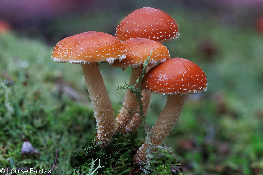
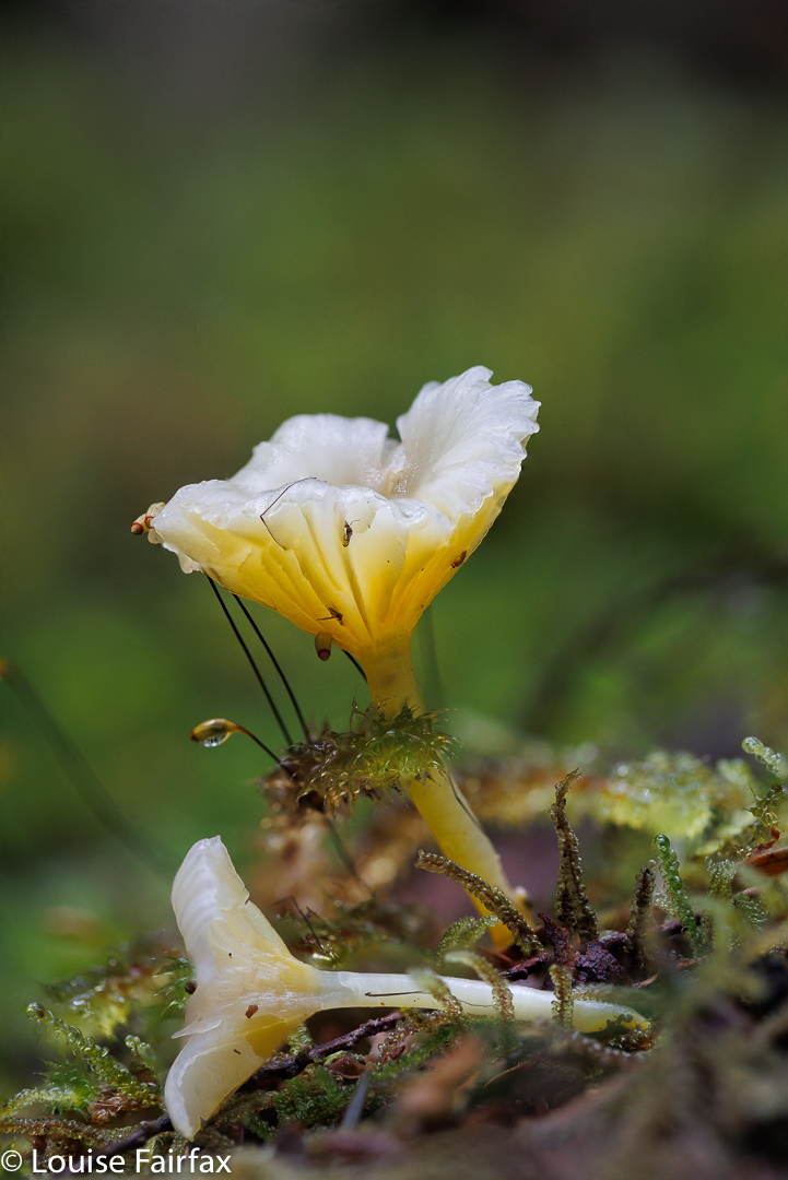
But I cannot pretend to deny being a list ticker, a person driven by curiosity to know what that little unnamed blue stroke on a river or creek actually looks like in “the flesh”. I like to see as many of the things I love as possible, be they mountains, fungi or waterfalls. So, there we were, four of us, gathered on the start line with white crunchily iced bushes around us, ready to set off on the next adventure together. With Caedence’s cricket schedule, it took two years to organise, and I had decided I needed to do it solo, but here we were: we had actually managed to settle on a date and pull the arrangements off. Hoorah.
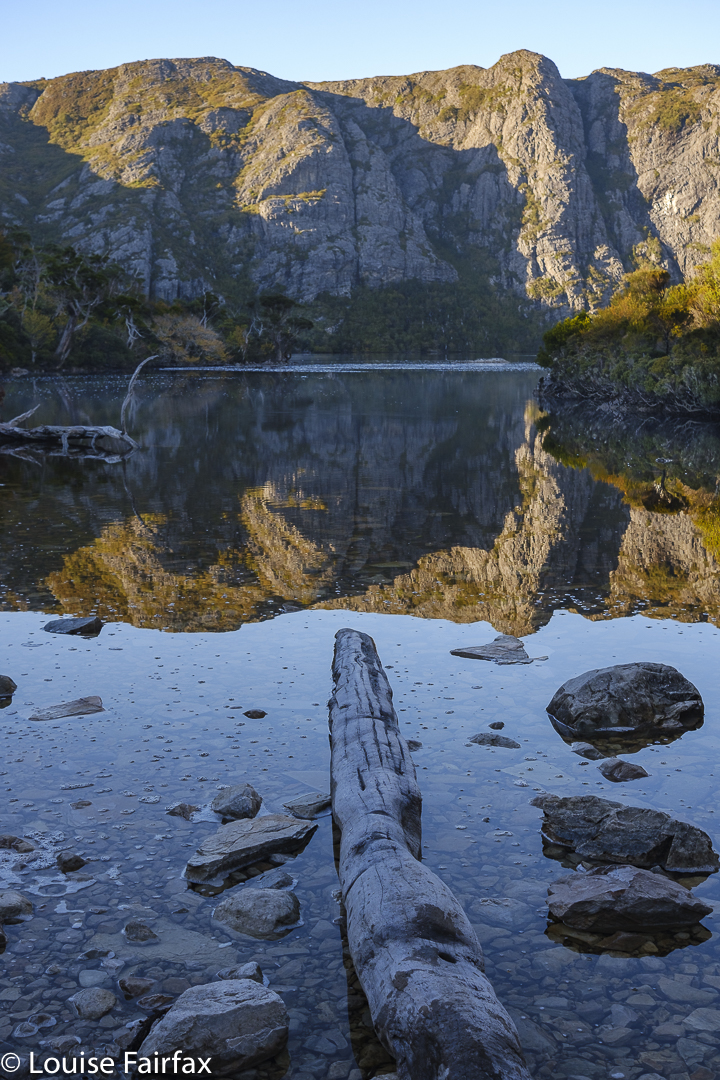
I was a bit worried about my four-day pack. It had now been over two months since I had carried a full pack, and this one had my tripod on board, which, of course, adds to the weight. However, we all love beauty, and everyone wanted to have a brief beauty stop at Crater Lake, and another at Marions Lookout, so my shoulders coped fine. Once we got past Waterfall Valley Hut, we began the earnest business of visiting waterfalls, for which I only carried my camera and tripod, so all was well by the time I had to shoulder the combined weight again.
On day 1, we visited falls that I had for the most part already seen: Branigan Falls in its Upper, Middle and Lowest manifestations (all quite separate from each other – several hundred metres apart), and then a waterfall that was lower still, which I have called here Hartnet Rivulet Falls, and which we actually had to observe from across the valley. I found these ones very disappointing, for, although they are very tall, they were more cascadey in structure than I was anticipating. Be that as it may, they were definitely a waterfall.
More disappointing in terms of capturing flow, but for some reason I found them to be fabulous, were “No Fall Falls” Upper and Lower. These were overlooking the Hartnet Rivulet Falls, and were supposed to have their own water falling, but, although a very deep gorge was present, obvious sign that water did once rush through, there was no water at all on this day. If you look at the map, you will see that the catchment for these falls is tiny. They issue from a small, unnamed tarn that debouches into an unnamed stream with two blue dashes (indicating waterfalls) across it. We had had a week of rain, but I guess that tarn up above us was empty. The orange cliffs, however, were massive, and the fagus was several shades of yellow and orange, with a few mightily tall pandani here and there. It was a beautiful place to be, and felt deliciously remote. I was sadder about having no opportunity to quench my now severe thirst than I was about not being able to photograph another waterfall.
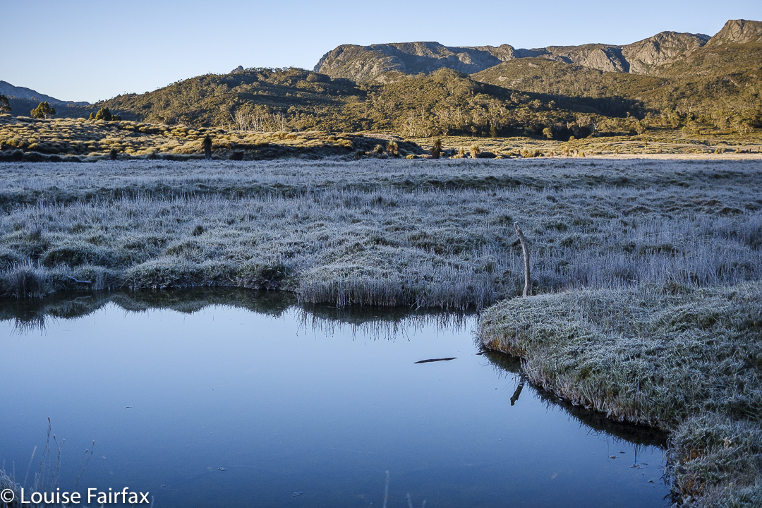
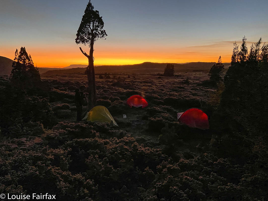
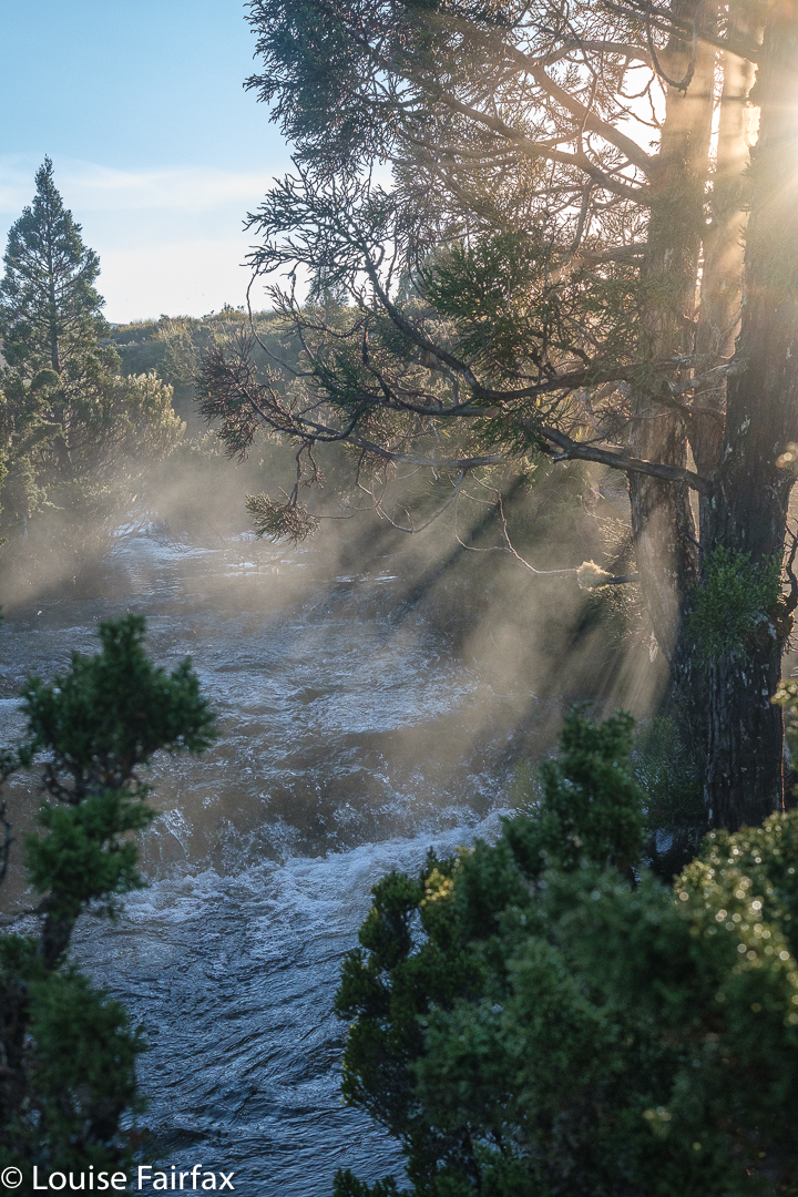
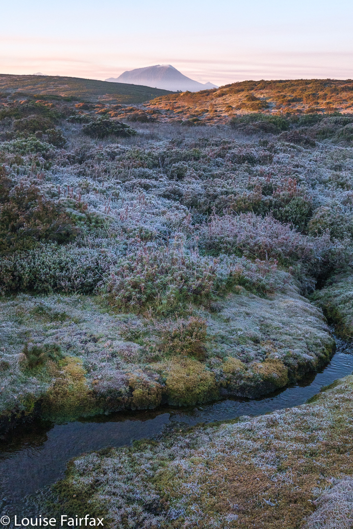
Eventually we had visited all we wanted to see in the time we had, and off we set further south to our planned camping spot, in the shelter of pencil pines away from the track. The skies were pretty clear, which made for a freezing night. Luckily I had come armed with all my winter camping equipment, including warm booties for bed and an extra SoL bivvy bag to add 5 degrees to my down bag. The tent flap was stiff and white next morning, and the ground, a fairyland of white sparkling crystals.
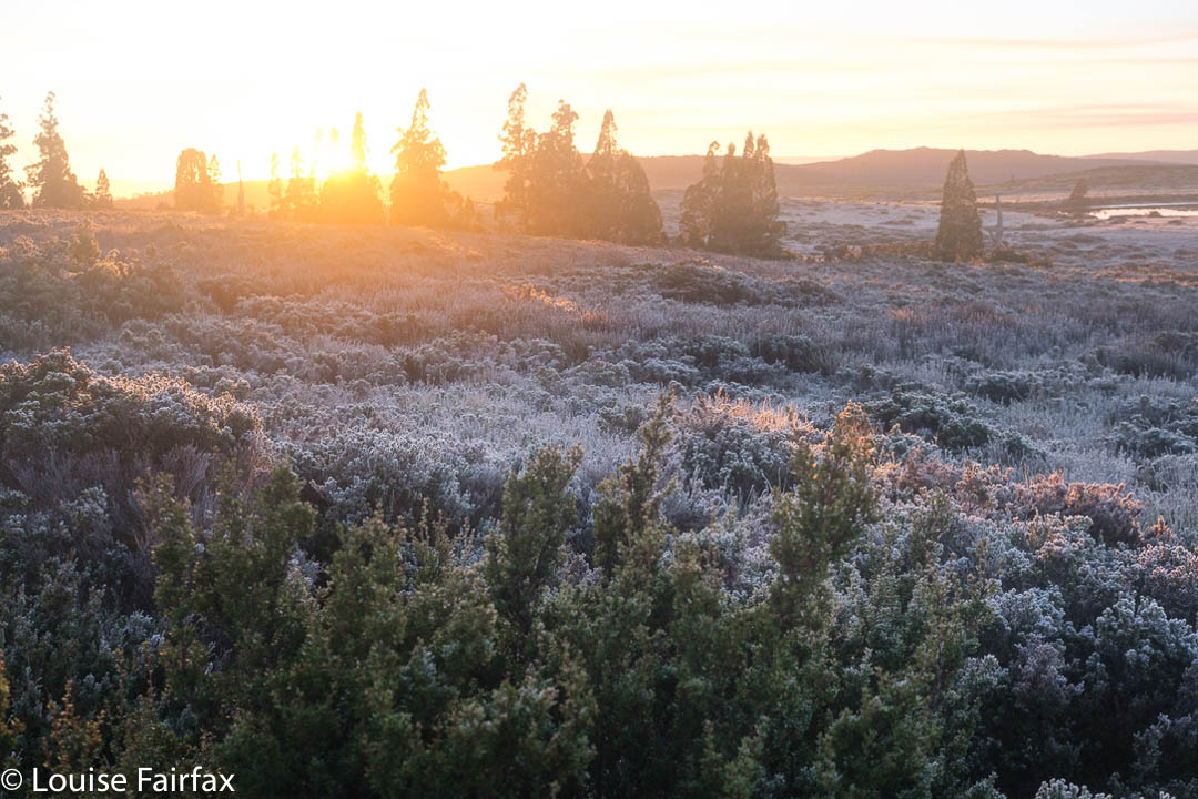
On Day 2, our faces turned to the west rather than the east of the track, and in the glorious dawn we set out west for our first rendez-vous: Innes Falls. We had been told the track around Lake Will was very muddy, but, well, it was still frozen, so I guess that helped. It was no big deal on this day. My big disappointment was that the fagus was still green in that protected amphitheatre. At this time of year, we thought we’d be guaranteed of yellow. Now I want to return this week, but it is raining all week, and I am not sure what that will do to the leaves.
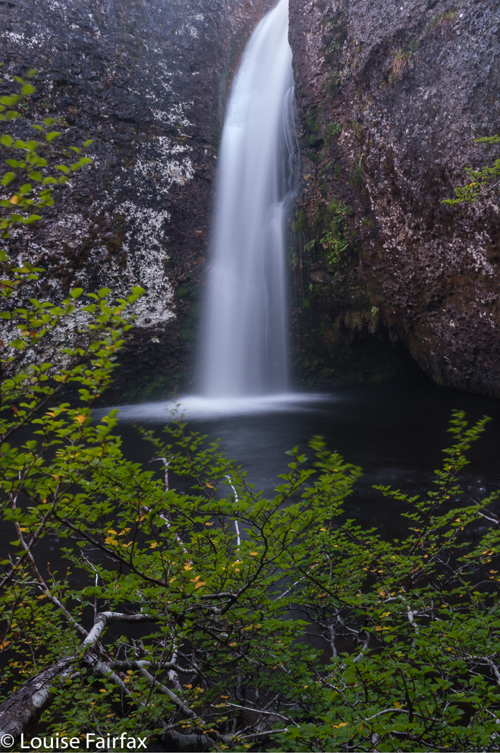
Innes was one of many. We stayed there only twenty minutes, and then moved on in our big circle. The distances between waterfalls got smaller, but the times got longer as the vegetational resistance grew. It was not horrific or anything, but you sure don’t cover ground as quickly as you do if you are on a track. And lifting your legs high over bushes naturally slows you down.
Our next port of call was Upper Tumbledown Falls, which were nice enough, albeit nothing extraordinary. There were odd exudations of white all down the rock (calcareous deposits??), which reflected glare making a good angle hard to achieve. I settled for a 4-shot panorama to get near to what I wanted.
Climbing out of these, I got poked in the eye with a sharp stick, but luckily the effect and blur wore off as the day continued, and we wended our way on towards the next nameless waterfall in our circle. On getting to the bottom of this one, we dubbed it Cave Falls so we could all refer to the same thing. This name came from a kind of cave structure in the rocks in the upper part of the falls. These, too, had white deposits in/on the rock.
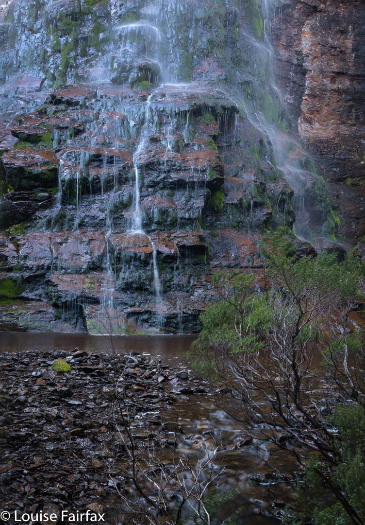
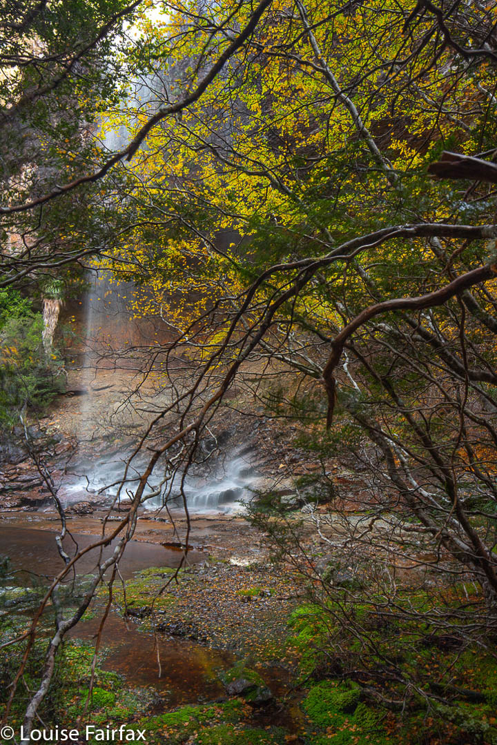
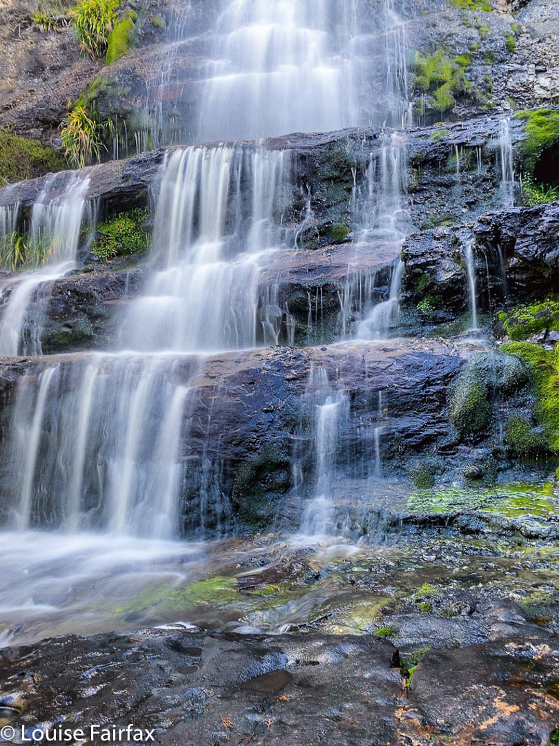
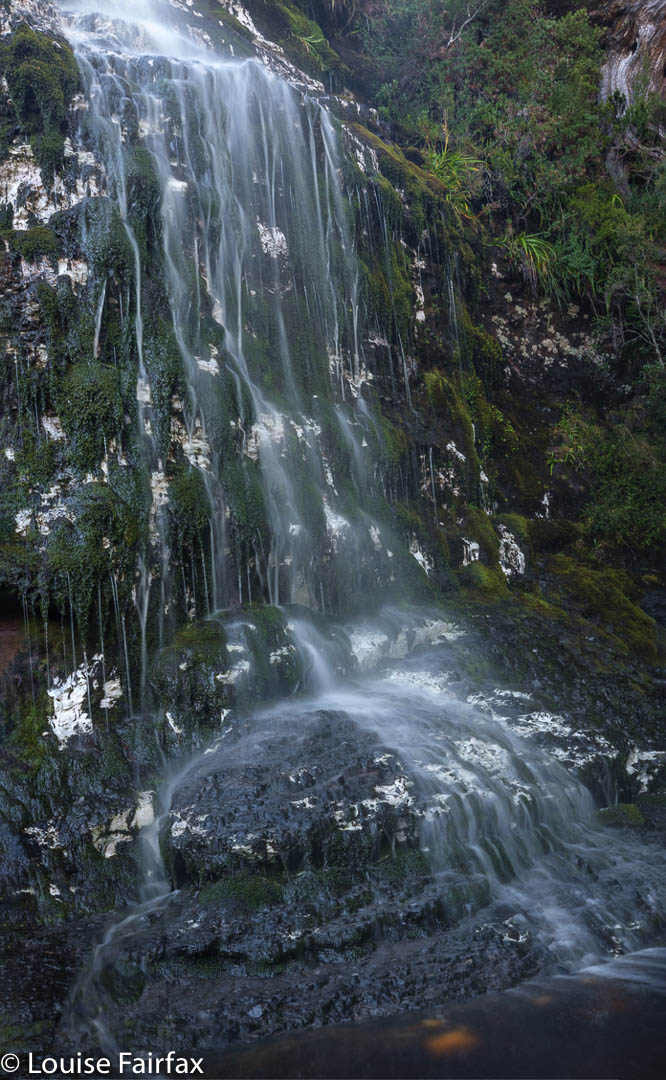
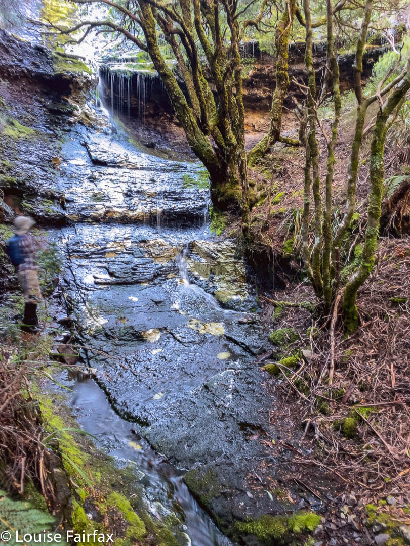
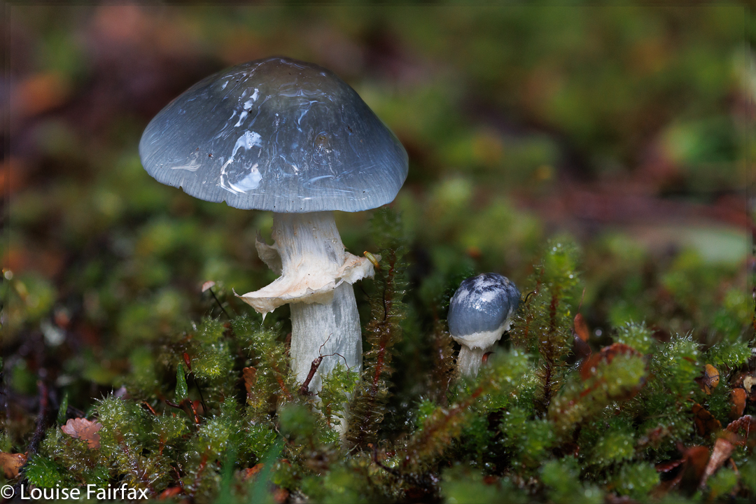
The next were also nameless, and the sobriquet Veil Falls was an obvious contender to an unofficial title, as they flowed in a beautiful Veil down a long expanse of partly mossy rock. There were countless aged Cortinarius metallicus here – so many it was hard to find a place to put your feet. Adrian grew worried. There was still a great distance left to cover, and he feared I was about to be irretrievably diverted by my other hobby: fungi hunting.
On we pressed. I assured him my focus this trip would remain on waterfalls. At 11.15 we arrived down lower, at Tumbledown Falls, having had no particular trouble finding a feasible route. These, although named on the map unlike Veil, were not actually as aesthetically pleasing as the former, but, of course, we photographed them to record their presence anyway. (That said, my photo does not pass my own standards, so is not included. Sorry.)
Now began a slightly longer march across button grass plains in the direction of Tomahawk Falls, which, we could tell from the map, would be protected by a bushy palisade, and would involve skirting steep cliffs, if possible. Because the northern side of Bluff River is ultimately steeper and bushier than the southern, we went on the latter side, but thereby added two creek crossings which proved a challenge to this person who did not want to get her feet blistered later by covering big distances in sopping shoes. I got around, but only after searching. On the rebound, Leandra and I took the northern side, and returned home with dry footwear. It was much faster.
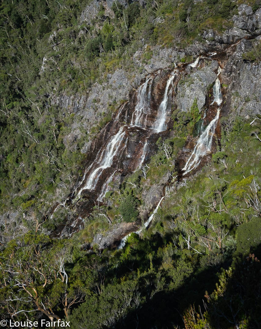
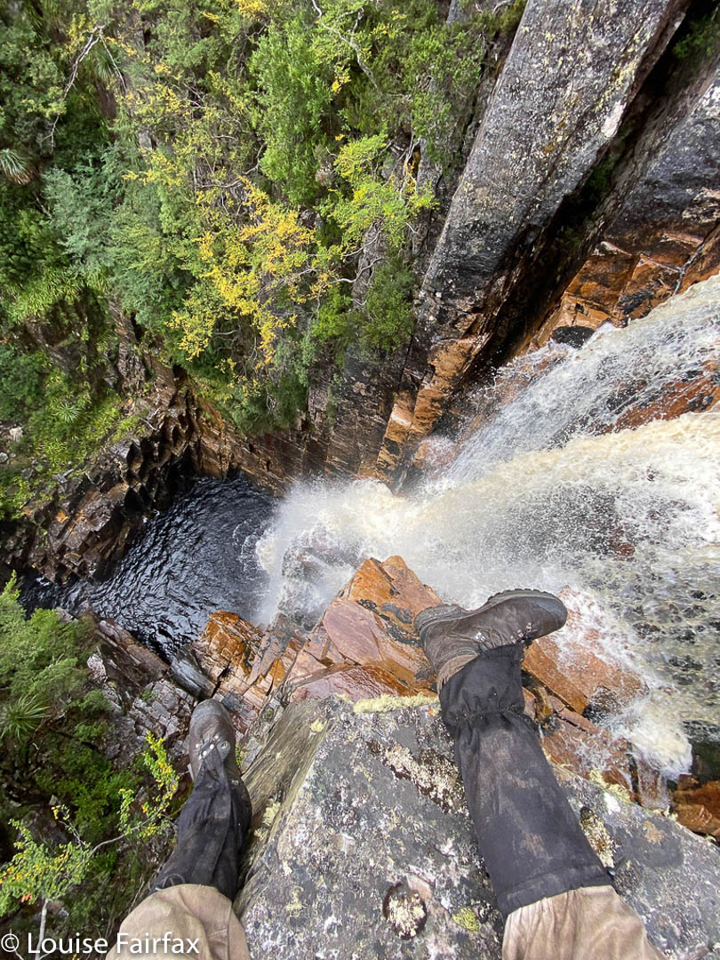
The position of these falls is slightly different in Listmaps from on my highly-contoured navigational map, which has an extra gully marked in (that is on the ground but not in Listmaps). The bush was stunningly thick and steep, so we weren’t sure of the best approach or how to actually gain access to these falls. We slid several metres down massive drops, to the point where I began to have serious misgivings about whether I would be able to get up again. Leandra was comfy stopping where she was, from which position we could see the flowing water, but had no access to a clear shot.
The boys wanted to climb further. I was nervous about my ability to stay with them in terrain like that, and didn’t like leaving one person alone, so I opted to stay with Leandra while the boys searched. We heard loud screaming. Were they screaming at each other or us? Was one of them in trouble? Had something happened? Our optimal turnaround time had by now well and truly gone by. In the end, we decided if someone had been in trouble there would have been more yelling, so we set out for home, knowing the boys would catch us later. Maybe the yells were to tell us to move on. I stayed very near the cliff face to get photos from afar, even if not the lovely ones the guys got, which they have been kind enough to give me for this blog.
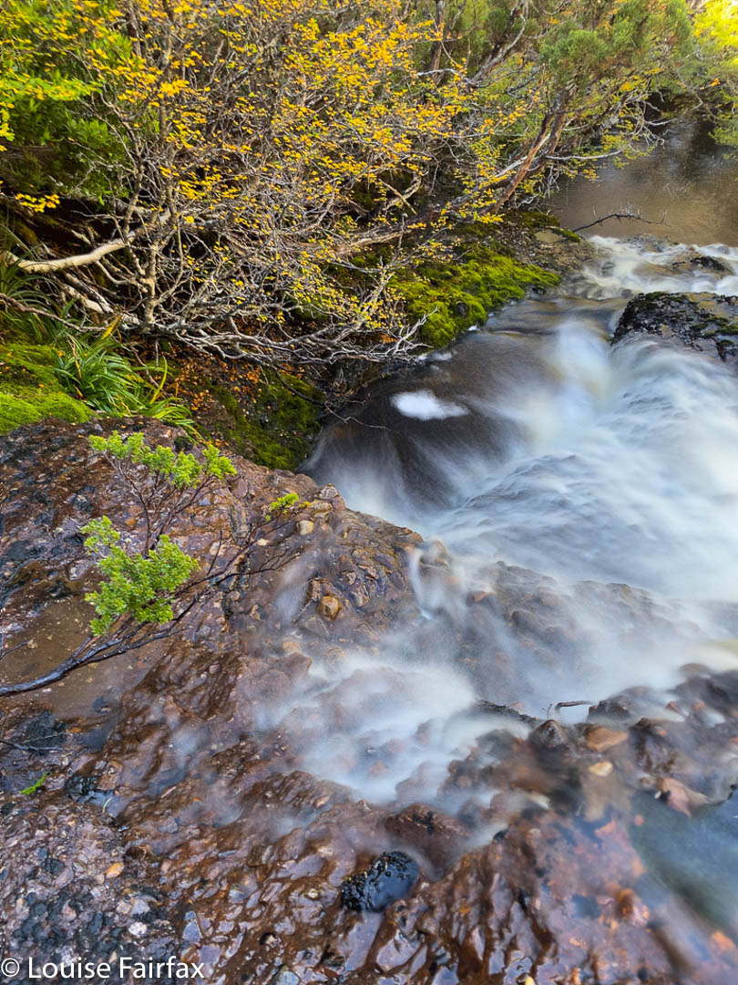
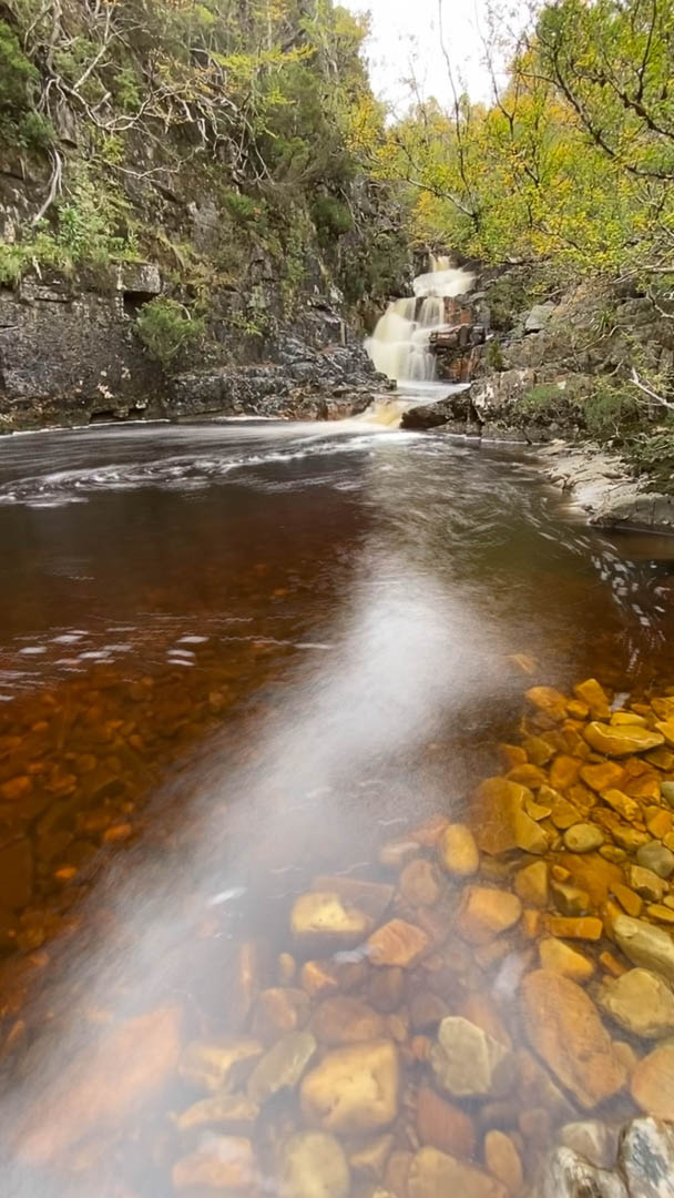
Leandra and I adored the cascades of the Bluff River as we followed its journey from its source above. They were such a honeyed tannin colour we delighted in them, and agreed we wanted to camp there one day. The light was now a little too strong for good photography, and the day not long enough to linger, so we stored the treasure for another time, and headed back towards Tumbledown Falls, from near which we climbed up to the top of the falls. From up there, we could see the guys below us, so we all knew the others were safe, allowing each gender to pursue its own route choice. Ours was longer but involved less button grass and, one thing and another considered, was the faster route. We followed cliff lines with magnificent views back to Innes Falls, and then the normal Lake Will path from there.
The sky was clear. It was already getting cold and we were hungry by the time we reached our tents. Adrian, brave soul, went swimming. Brrrr. I stayed dirty and cooked an early dinner while I still had light to see. I like eating my dinner and looking at the scenery. I was also very keen to close the tent up to keep in my body warmth once the dubious feast was over.