Story 2017 Schouten Island, Oct

Mt Story, Schouten Island, Oct 2017


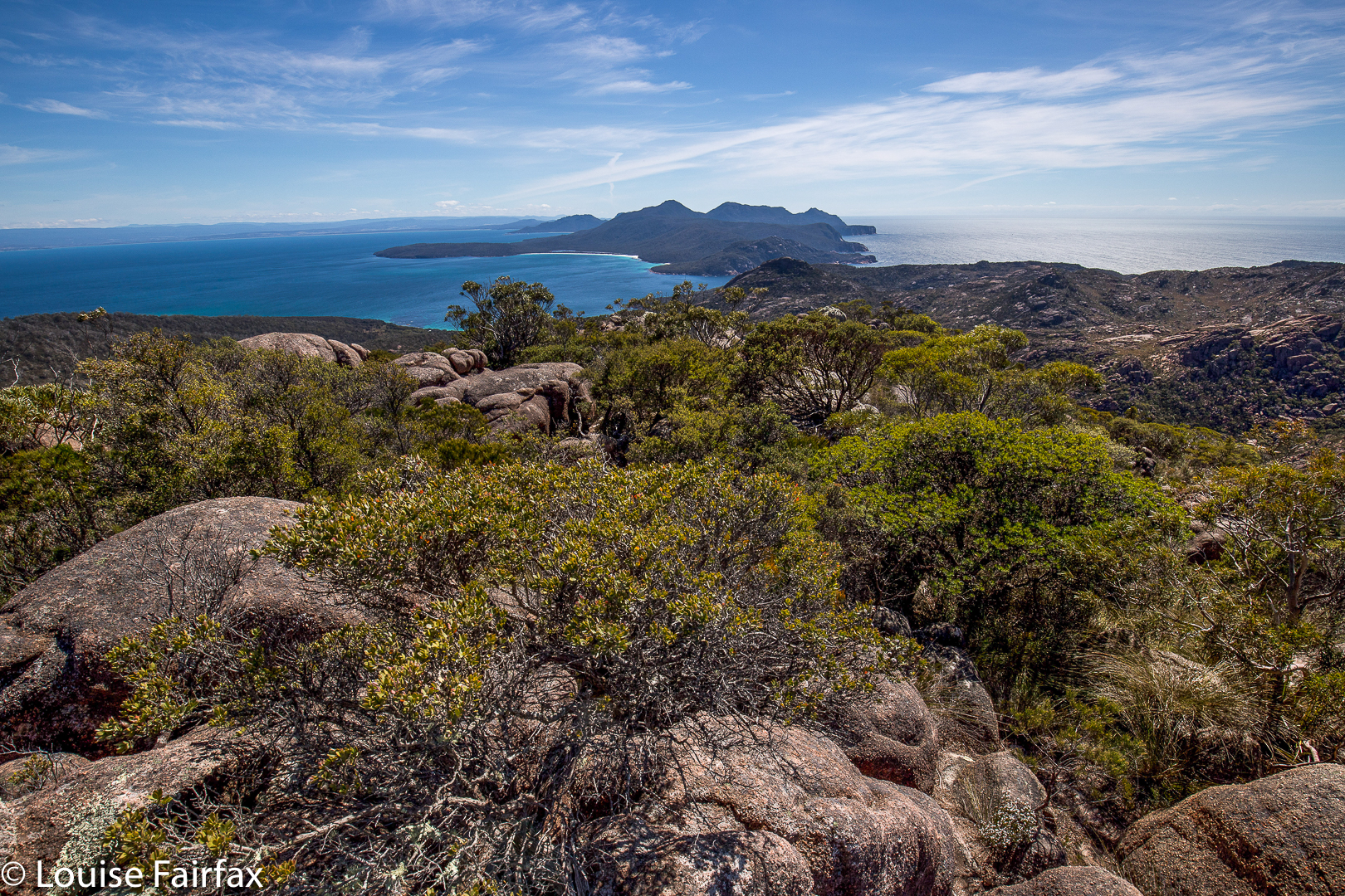
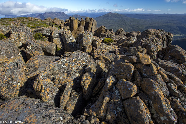
Mt Story summit looking to the Freycinet peninsula
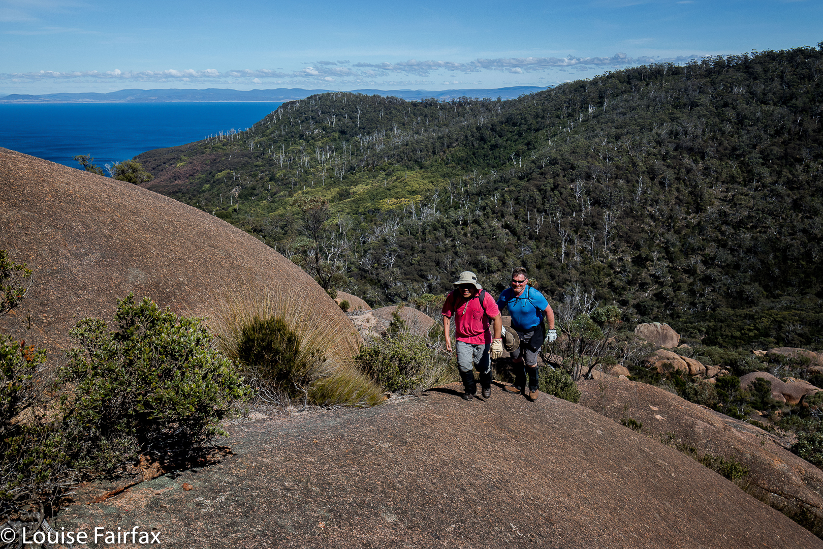
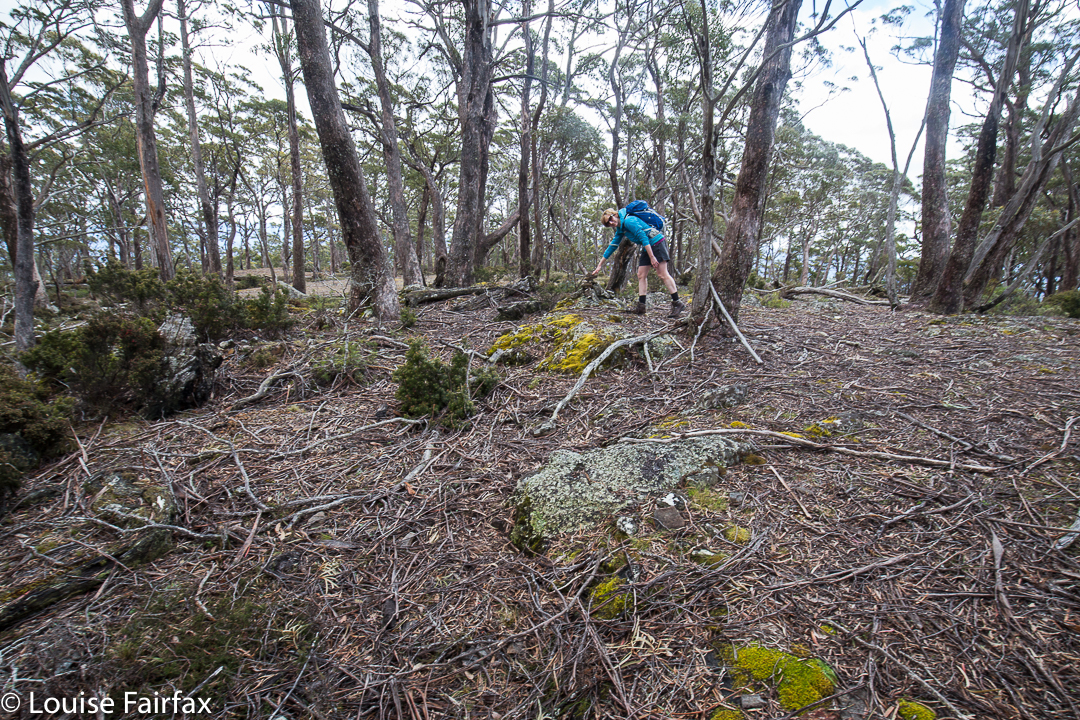
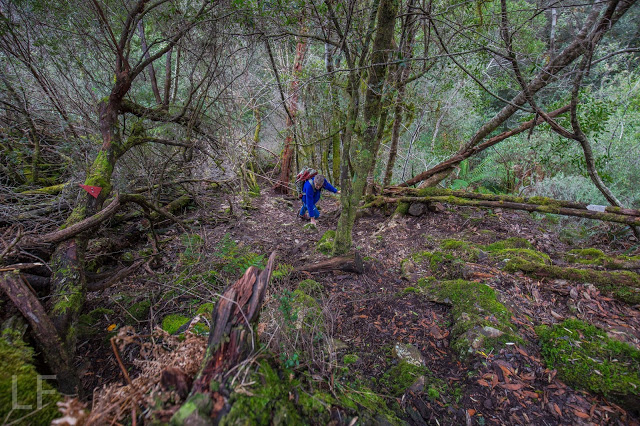
Mt Story does not have a path to the top, but it does have a taped route (mostly pink) that is not too difficult to follow. This mountain is a much longer undertaking than Bear Hill, and we took about two hours’ walking to reach the top, with a break for snacks and another just for the heck of it added in.
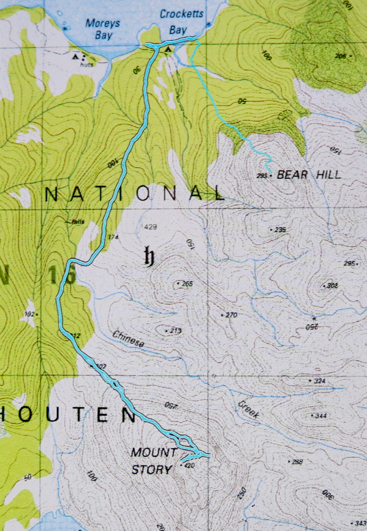
The start of the walk was where the descending spur meets the track that exists between the two beaches to the north, i.e., between the beach on which the boat drops you (Moreys Bay), and the one where you camp if you want to camp right on the beach under the shade of casuarinas (Crocketts Bay).

If you compare the photos of this mountain worth points and Bear Hill, worth none, you’ll see that getting no points is more photographically pleasing on this occasion.
If you are wondering what the detour (on the map below) to the east after we’d been to the summit is, it was the beginning of a climb of Daedalus, but we soon decided we didn’t have enough time given the general energy levels prevailing in the group. One of our number didn’t think he was up to it, and really, I was not feeling one scrap energetic, and was glad of a pleasant meander back to where we’d come from rather than a desperate race against the clock to complete the circuit. I had a strong feeling that the salmon I’d had the night before, and again, for an early lunch, was not quite in the kind of condition that salmon should be in when meant for human consumption. I think my salmon  pate needs to wait until the cooler weather of next autumn before it’s allowed on any more overnight bushwalks.

Evercreech Falls 2017 Apr

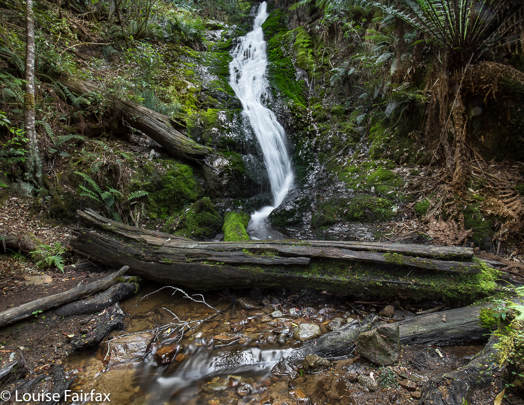
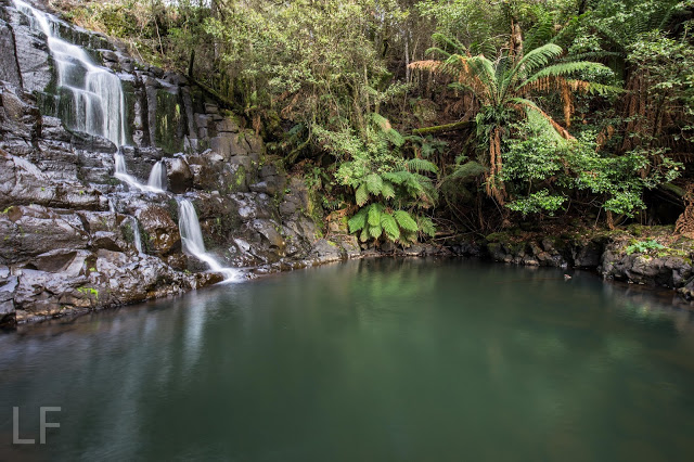
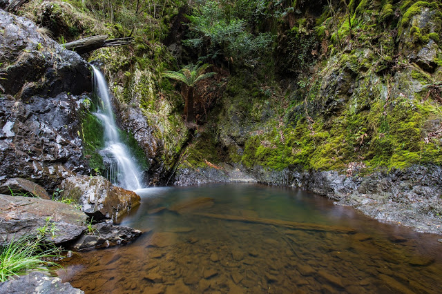
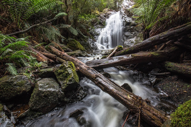
Evercreech Falls.


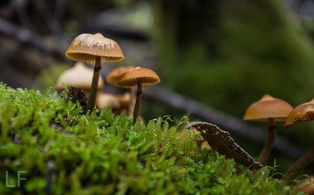
The Evercreech Falls were the second part of the walk I was leading yesterday. (See natureloverswalks.com/mt-blackboy/ for part one) I would never normally have gone to the Evercreech Falls at this time of year. I knew it was too dry for both a decent flow and for the fungi that I so love seeing, but the club wanted me to do it, so I agreed; I like to give back as well as to take when it comes to club bushwalks. I intended, however, to do it when the waters were running and the fungi were out, which is not early April. Predictably, the fungi were desiccated and the falls offered only a moderate flow. These photos are what I managed to see under the club-type conditions. Thankfully my charges didn’t mind waiting while I took a couple of thirty-second exposures. (Setting up actually takes an inordinately long time – especially when you know you’re holding others up.) I’ll redo the long drive some time in late May after enough  rain has fallen to reawaken the forest and invigorate the falls. Until then, this is the best I can give you.


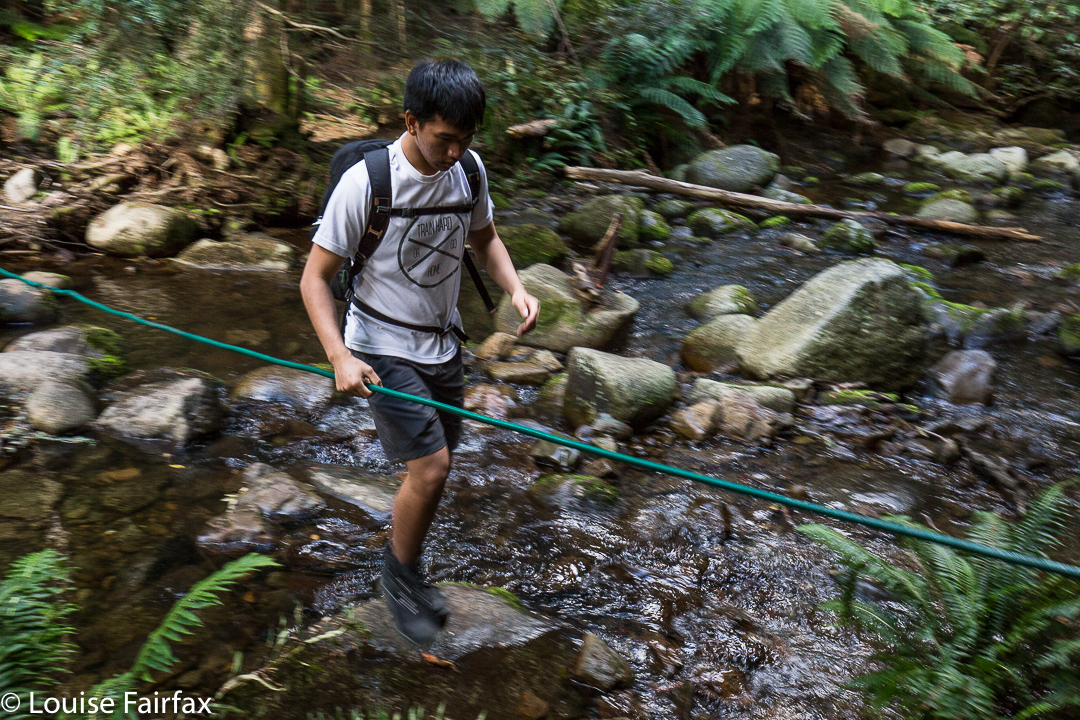
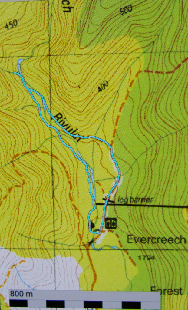
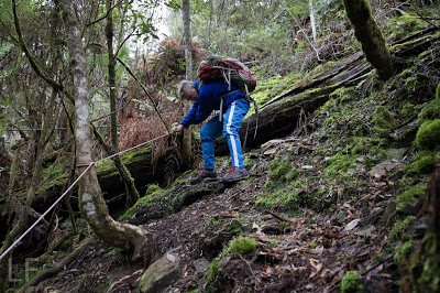
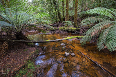
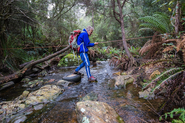
When you arrive at the forest reserve, there is a big shelter to your right, and an ugly metal bridge to your left. The loop, if you choose to do it, begins at the far end of the road if you go anticlockwise, or at the ugly bridge if you go clockwise. You can go up and back on the western side (i.e., using the bridge), and thereby avoid the creek crossing pictured above. Two out of five of us fell in negotiating this rope (only up to their knees). The group I led took 18 minutes going on the right hand side of the loop (eastern, over the creek as above) and 18 minutes back on the other side, so the forty minutes is, if anything, a bit of an underestimation, as it allows for only a couple of quick snaps at the falls. Of course, I wanted longer than that. (One starts at the southern end of the track, if that isn’t clear).
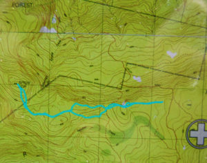
The route we took in cyan below is not on the map, and before going, I could not find any information on exactly where the track went. I hope this information helps.

Castle Crag / Falling Mountain 2016 Jan

Falling Mountain and Castle Crag. Feb 2016

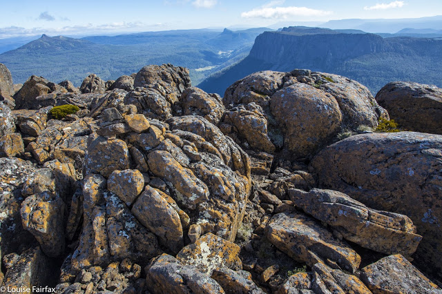
View from Castle Crag, with Pelion East, Pillinger and Cathedral in the background.
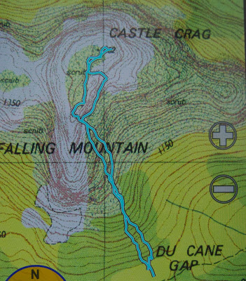
To climb Falling Mountain, the notes Angela and I had suggested we should head from the clearing below Du Cane Gap towards the rocks from the latest fall off the southern end of the mountain, so we did precisely that, departing that bearing when the bush got thicker than we liked. When we left the direct bearing, we headed a bit right (north), climbing or contouring as the best leads through the scrub dictated (no longer using compass). Eventually this method took us to a wonderful lead of pineapple grass that made easy passage in a green path upwards to the final little climb that popped us out on top, much faster than anticipated in 1 hr 17 from our tents, drying down in the open clearing below. I photographed here, at the highest rock on this part of the mountain, five minutes away, and again at Castle Crag, a nine-minute saunter further on across alpine grasses and a bit of rock.


The route being described in the narrative
Rather than just retrace our footsteps, we agreed to try something different and just drop off Castle Crag. The boulders were surprisingly huge and the going not as kind as our original route, so we decided to sidle across to meet our ascent track. I was leading at this stage and concentrating on the job, using a kind of animal instinct that kicks in when I’m climbing, just following what some non-verbal part of my being feels is the way to go, sensing passages through the maze of rocks when one of the smaller (football size) rocks I trod on became dislodged and catapulted down the mountain, whacking my foot en passant. I writhed in pain, hyperventilating badly, vision blurred, dizzy with shock. Uncharacteristically, I reached for my pack to grab a painkiller. Whoops. They were in the big pack way down there. Angela’s were in the same place. (At least my EPIRB was with me. At this stage, I didn’t know if anything was broken, but found it hard to image that a blow of that force would not break something.)

“OK, no painkillers. We need to get moving quickly. If I’m to get through this, I need to start moving, and now. If I rest, I’ll stiffen up and never budge from here.”

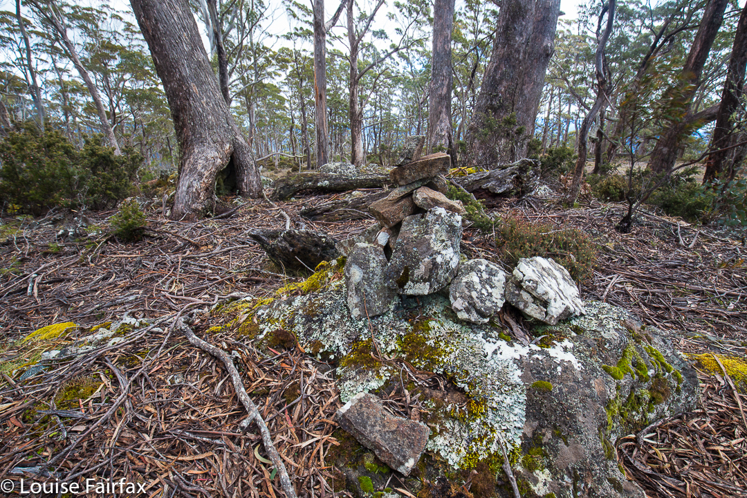
Castle Crag summit cairn, with Ossa and Pelion East behind
Cautiously, gingerly, I put weight on the now swelling blob at the end of my leg and tucked in behind Angela, who was left with the job of choosing a route that would be kind to a one-footed friend. I didn’t feel like exerting the brainpower needed for such matters, and concentrated on using the foot as a stable plank, tucked in behind Angela. Most surprisingly, we were down in 1 1/2 hours. It felt like much longer than that, but my foot was coping well with weight bearing.

Sunset at Narcissus Hut (Lake St Clair)
 
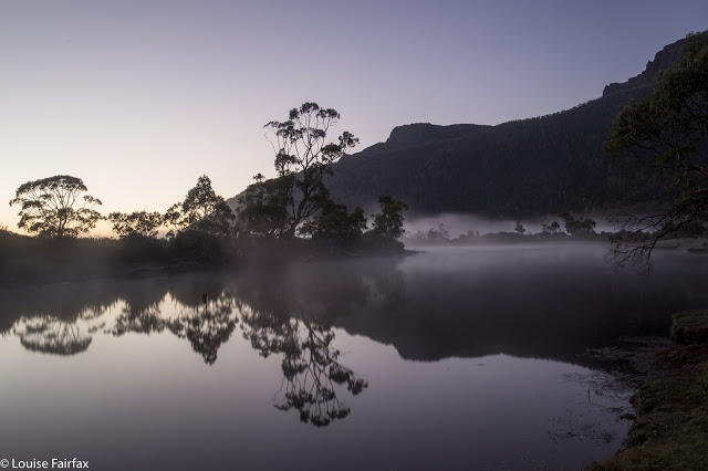
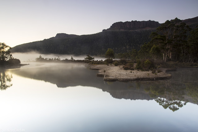
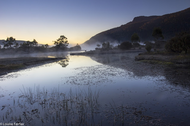
Next morning the sunrise was exactly what I ordered. I do love a good mist

I didn’t dare inspect the damage to my foot until Narcissus Hut. I thought if I looked and saw what I was bound to see, I’d feel sorry for myself, and maybe not be able to go any further. Now, I must say, I have always had the policy that if you are going to hurt a lot on the inside, it is the best thing to have an outer appearance that is commensurate with the inner torture. My foot did me proud. It was grossly distorted and swollen, and coloured a rather nasty combination of red, purple and dark grey. I felt a true martyr.

Leeawuleena, the mellifluous aboriginal name for Lake St Clair that matches its visual beauty with soothing sounds
Despite this magnificent display of swelling and colour on my ankle, I can report nothing is broken. For this, I can only thank my wonderful, solid, leather boots that shielded me from the full force of the bash, and the fact that the impact must have been pretty well back on the foot, so I am extremely lucky in the placement of the collision. My doctor advised rest.

“How many hours do I have to rest for?” I asked (neatly eschewing mention of days or weeks).
She knew the implication of my choice of words, shook her head and smiled wryly (which is why she’s my doctor).
“Twenty four / forty eight hours?” , she said with rising intonation and another smile. I got the feeling she was carrying out a kind of barter: What number can I say that will not be so great that this person rejects it altogether, yet not so small as to be nugatory? She chose a good number.

Deal. I’ll obey that. I did Pilates instead of running and only walked the dog.

Dawn light
I do not feel unlucky at all to have been hit by a falling rock coming off Falling Mountain: on the contrary, I feel very much the opposite, and elatedly relieved at all the things that could have been, but weren’t. I will enjoy the rest of my summer’s bushwalking with even greater gusto.

Spion Kop 2016 Oct

Spion Kop 2016 Oct

Spion Kop is a great mountain to climb if you are sick or about to be sick. You drive to within four non-taxing kilometres from the summit, have a pretty pleasant, low-key stroll through the forest, some of which is on a now-overgrown former logging track, and then a little scaling of some contours and you are there. I had been in bed for a few days leading into this walk, and Angela was about to get sick the next day, so this mountain was a perfect little excursion for such conditions. Rain threatened and materialised just before the finish, but even if it had come earlier, this is a short enough climb for that not to matter much.

Summit cairn

Needless to say, it was not an exciting mountain, but it was still a different taste on the mountain smorgasbord.

We climbed in using the road shown above that approaches from the north, winding around and ascending all those contours. We then took an unmapped offshoot that was going where we wanted to walk, but which ran out where our route starts. The outward route was the more northerly one; the homebound route found more old roads to pursue.

Step Falls, Castra Falls, Silver Falls 2016 Jun

Castro Circuit: Step Falls, Castra Falls, Silver Falls and more. Jun 2016

First Falls on the list: Step Falls. Very steep and slippery. 
The forecast was for developing rain. My friends had all reneged on climbing a mountain: time for a waterfall walk with the last brave man left standing, my husband. There are so many amazing and wonderful waterfalls in the north of Tasmania, it’s rather hard to choose, but I selected the Castra Falls circuit, as what I had read suggested it would take about three hours, and that seemed a good walk to drive ratio. As it was, we only did one and a half hours’ walking – but used up that amount again taking photos :-). I could have taken a whole lot more (requiring even more time), but felt guilty at forcing my husband to watch the less than interesting activity of his wife motionless behind her tripod going click, or lying in the mud adoring tiny fungi – possibly more amusing than the tripod option, but still lacking in spectator excitement.

From our very first steps, we loved this walk. Fungi were everywhere, but this was a waterfall walk, so I tried to ignore these delicate beauties, and left my macro lens in the bottom of the pack so as to not be even more boring by changing lenses the whole time. Oh the shame of it all, but I did admire them anyway as I walked past.

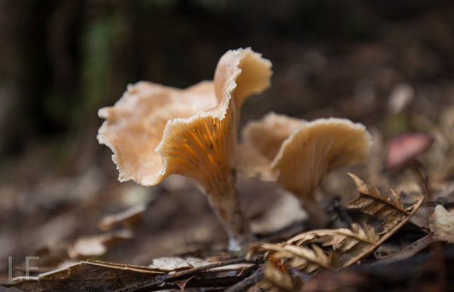
There were masses of fungi – best catch this year.

Well, I did say I admired them en passant. I decided I could photograph them with my wide-angle lens and that would not take up so much time.

My husband using the safety rope on the way down to Castra Falls, the second Falls on the circuit
We both got a bit of a shock going to, and being at, Step Falls. The notes we read said it was very steep. I usually assume such advice will be overstated, but in this case, it was right, and I was glad there were saplings to brake downward progress a little. At the bottom, the rocks were the slimiest, slipperiest rocks imaginable, and I felt clumsy on them with precious camera around my neck, bag of filters on my shoulder, tripod in hand … whoops, slide. Balancing on them was hopeless. I don’t know if they’re always like that, but in today’s conditions, I didn’t attempt any fancy angles; survival was the key.

The second falls on the list, the Castra Falls, had a rope to hold, which Bruce greatly appreciated. (All these Falls are done as side routes from the main circuit, as I hope my map at the end makes clear.)

Castra Falls, the second falls on the circuit.

Climbing back up from the Castra Falls


More beautiful fungi

The Castra Cascades were pleasant enough, but not as beautiful as the many river scenes along the way, … and very shortly after that, we were at the junction of the Castra Rivulet we had been following, and Nietta Creek, which we were about to pursue. We’d been exercising for a total of 45 minutes at this stage (which included side trips, but not photos). This was a really pretty spot with a kind of beach – perfect for lunch. I ate hurriedly, as I wanted to explore a track that went off to the right here, to what was called a “Secret place”. I was unsure about where it went and what it was, as, unlike the other side routes, it gave no time estimation. I left Bruce quietly eating and set off along the steep banks on my mystery journey. After 16 minutes, the tapes seemed to have run out, and even if they hadn’t, I felt my time had. The scene below was what I found. I photographed just with hand-held camera on 1/10th second, as I feared Bruce might be getting cold and wondering what on earth his wife was up to. No longer wondering the whole time if this was the secret place, or this, I moved more quickly, and was back at the junction in 11 minutes.
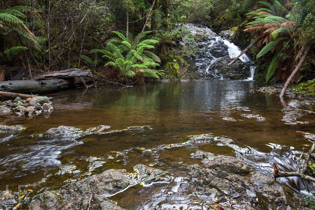
I have thus called these the “Secret Place Cascades”. If someone wants to tell me their real name, I’d be most grateful. 

From the junction, the beautiful Nietta Creek is followed upstream until Silver Falls are reached. This part of the route is wonderful, as you are right beside the stream the whole way.

Nietta Creek

The side track to Silver Falls is the tiniest deviation from the circuit, and this was my favourite of the Falls. Another short but steep push and the top was reached.

Silver Falls, falls number three


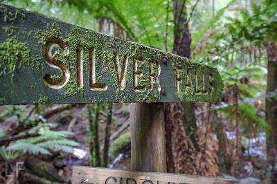
signage

 We had parked the car at the second entrance to the forest, maybe two hundred metres from the first, but the other side of the rivulet, in case the stream was flooded. As you can see from the photo below, it wasn’t, so we completed the circuit in the forest and were soon back at the car. (If the water is high, you can do this tiny stretch on the road.)
Apparently this beautiful circuit was destroyed in a huge storm a few years back, but has now been repaired by local volunteers, to whom go my heartfelt thanks. The tapes and path are clear, signage is fantastic, but, better than that, it remains a real bushwalk and not one of these wretched manicured tourist highways. You do have to concentrate a little; you can fall over or trip, you need to look for the next tape and use your brain a tiny bit. The freedom to fall or to make a slight error is a marvellous manumission in this over-cosseted, litigation-terrified age.
We had parked our car at the second forest entrance, and so finished with this creek crossing (over the Castra Rivulet) to end a perfect walk. (If you park at the first one, then this is about two minutes from the start).

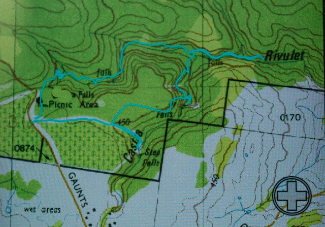
Our route. Hopefully you can see that there is a main circuit, with Falls off to the side, usually involving a climb down. Tasmaps, being their usual inefficient selves, have not only omitted the path, but have misnamed and misplaced the position of the falls in their habitual cavalier attitude to the needs of walkers and tourists who might want to use the maps for something purposeful. I have blocked out the incorrect names. We walked anti-clockwise. The narrative (combined with map reading) should make it clear which falls are which. Step Falls are correctly named and placed.


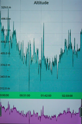
Just for fun, here is a graph of our altitude. Did I happen to mention there was a bit of up and down? Nice workout for the legs.