King William II, Slatters Peak 2012 Mar

Mt King William II and Slatters Peak: my first extended bushwalk without my husband to share the load.


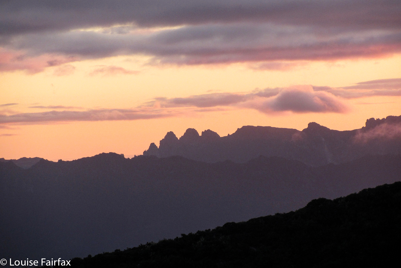
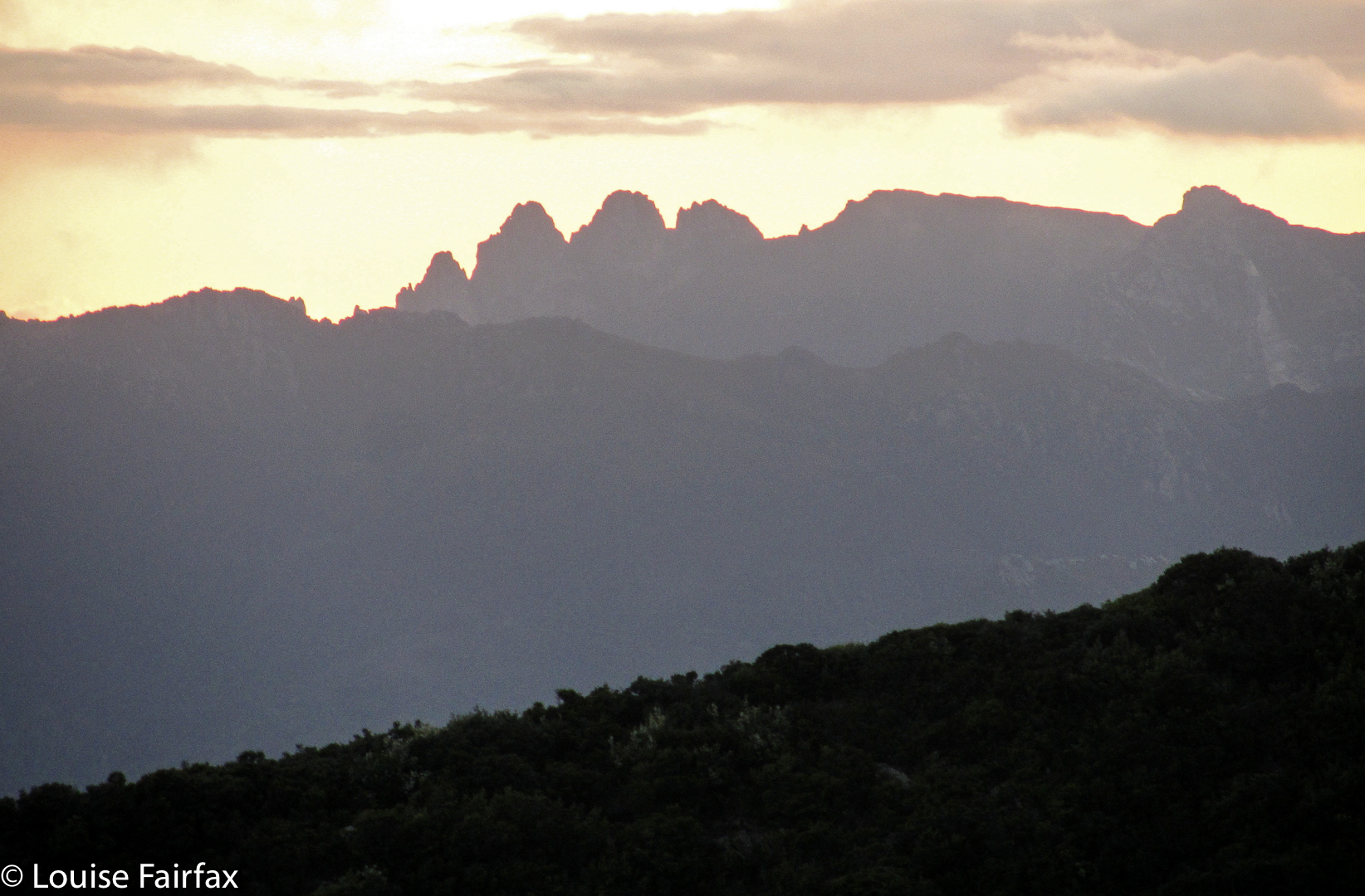
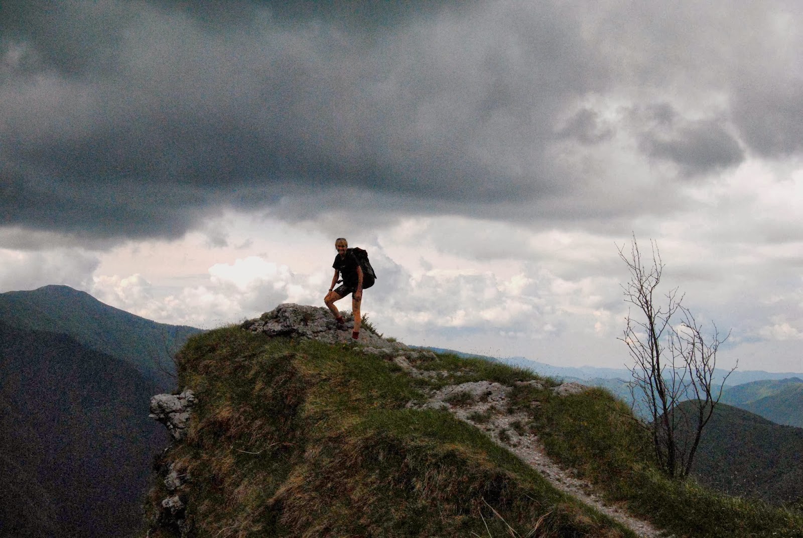
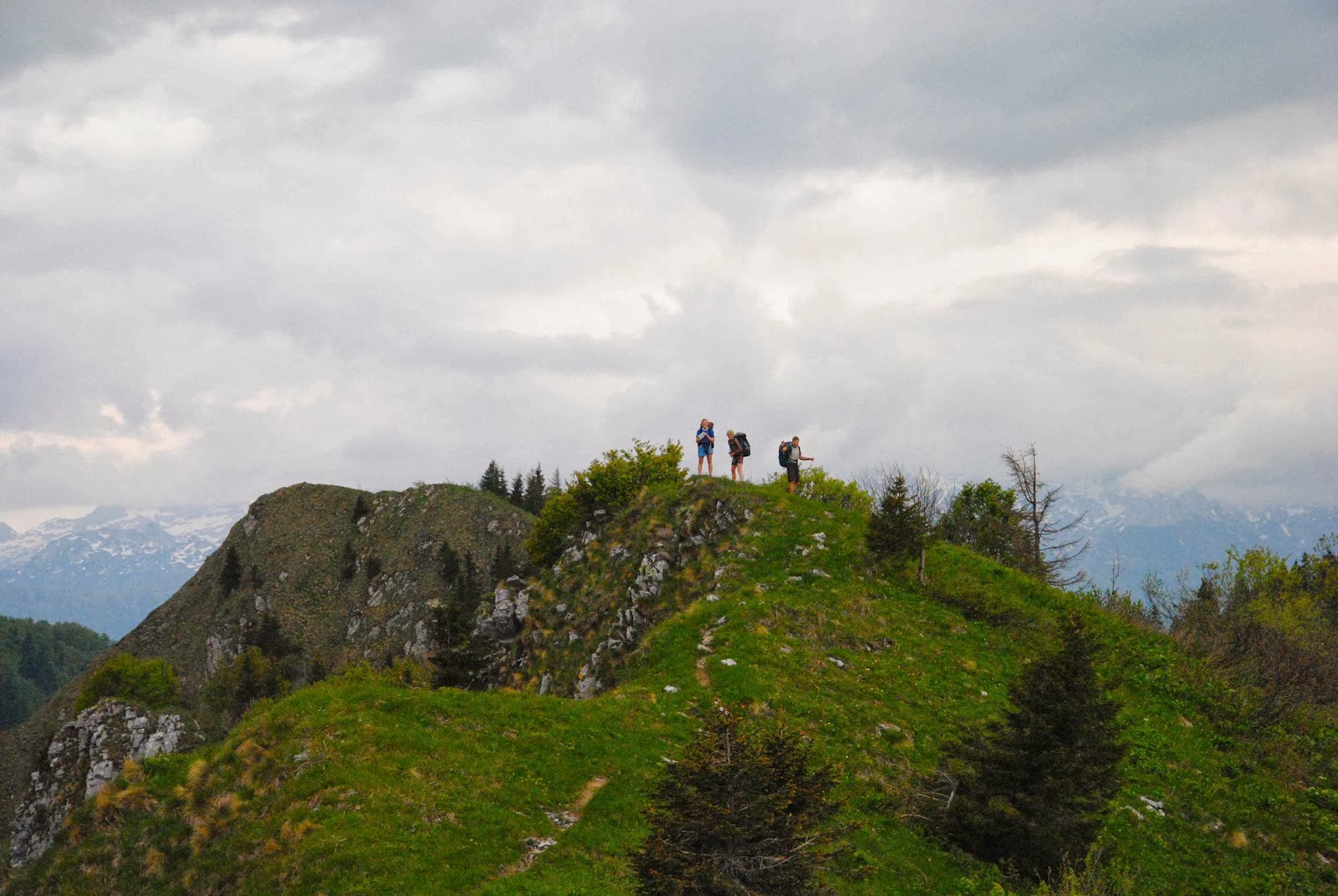
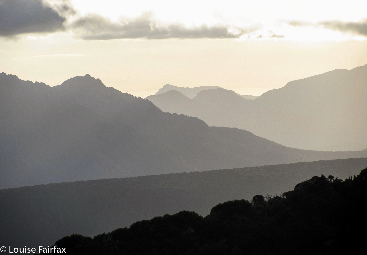
View from Slatters Peak on the first evening
All week I feared this walk, mostly because I was going to carry the heaviest pack I have ever carried, and I was unsure whether I was up to the task (normally my husband and I share the load of tent, food, etc). I was also anxious, as gastro had been going around Tasmania, and I had been in bed vomiting on the Monday and Tuesday, and was still feeling frail as the weekend approached. Was I going to cope? Well, I’d have to grin and bear it. I was determined to see these mountains, and determined not to fail. Nonetheless, just in case, and in anticipation of the worst, I signed my will the day before I left!

same
Day 1. Slatters Peak. The start was not auspicious. I was quite clearly not welcome amongst the male coterie gathered at the bus stop, and I felt uncomfortable. Oh well. Here I was …
and again

We set out. There would be no track to follow them on should I be too slow – we were heading straight into the bush – so it was keep up or die. I kept up, so busy concentrating on that very task that I didn’t even have time to wonder if my pack was too heavy. I was relieved that my friend S and a new girl, M, were both a bit slower than I was. If I got dropped, they would too, so at least I’d have company. I’d heard our coordinator talking about M on the way: “If she can’t keep up, we’ll just dump her at Fisherman’s Camp and pick her up in three days.” That put great fear into me. My shoelace came undone, but I didn’t dare stop to do it up. To stop was to be left in the middle of nowhere and perish.

At Fisherman’s Camp I relaxed a tiny bit. I made sure I was always in the first three (of nine) and, concentrating on that job kept all other pack pains and fears away. I raced through the thick button grass, righting myself with celerity if I fell in a mud hole, fearful of failure.


Soon enough it was time to attack the real ascent. Up and up we climbed. The bush was super thick. You couldn’t see the person three metres in front. I clung desperately to the rear end of the man ahead of me. The trouble was, these were guys with huge, strong legs, and I was trying to keep pace with them as we hauled ourselves up a near vertical rise, using saplings and shrubs to pull ourselves upwards on the mighty slope. My real problems were the fallen trunks and horizontal scrub or piles of debris with branches jutting out to catch you that they could breeze over but that I had to climb with some effort. I could hear myself grunting like Victoria Azarenka with every single haul. The others said M was grunting too. S’s face was twisted with effort. The guys seemed relaxed.
This kept up for two more hours (six in all so far), at the end of which we reached a kind of waterfall-cum-chimney that we needed to ascend. The first bit was even steeper than what we’d done (as near to vertical as you can get in the terrain), and there was one very tricky bit in the middle with few foot (or finger) holds, and with water coming down the rock we were to climb. I grabbed a tiny shrub with the left hand, a patch of grassy stuff with the right. My feet, however, slipped out from under me so I was hanging from the cliff by shrubbery, water rushing past my chest, and a drop below that was considerable. I looked down at one stage and could see M and S’s faces staring up at me – their features were strained with fear, their eyes large. Rod, a nice guy, not from our club, grabbed my wrist and yelled for help, as he couldn’t hold me and he was terrified I’d loosen my grip with fatigue and fall. W (from the club) came back and helped him get my pack off (VERY tricky). Once that weight was gone, I could complete the climb. G got out a rope and did a pack haul for my pack, plus those of S and M. Like me, once they’d lost the weighty packs they were able to complete the climb. We’d just been going for so long and it was all so steep and strenuous that the three of us had lost strength by that stage.
Once we were up, the rest was easy. We danced along to our selected campsite in a wonderful tarn-filled valley at the foot of Slatters Peak. I chose a spot that had the mountain reflected in water visible from my tent ‘window’. Before it got dark, we spent another hour and a half climbing and descending Slatters. The views were stupendous.


Back at the campsite, we cooked dinner in the fading light. I made a tactical error, as I chatted for too long with the wind ripping through from behind (my feet were still sodden from the day’s activities) and all of a sudden I realised that my core temperature had plummeted right under. My feet never warmed up during the night. I shivered the whole time, despite sleeping in icebreaker, Helly Hanson, fiibrepile, beanie, possum gloves, wollen socks, and Helly longs, with my down jacket over my sleeping bag to add an extra layer, and my overpants over my feet. M and S reported that they, too, shivered all night.
Day Two: King William II and IIb. On day 2, marching orders were for 7.30 sharp, so of course we were all in line at the appointed time. Putting on my wet socks and shoes was one of the most unpleasant jobs I have ever done, especially as I was already freezing. M and I walked together. She resented the fact that going to the toilet incurred the risk of being abandoned in the mist. If you wanted a drink, or to go to the toilet, you had to run afterwards to catch up. This day, dropping behind was particularly perilous, as we had about 50 metres visibility due to the thickness of the mist that quickly turned to rain. Re-finding the campsite would have been utterly impossible unaided. M and I stuck together to protect each other. I took photos for her, as my camera was faster, and then we would sprint to catch up afterwards.

There was a certain degree of inconsistency, as sometimes we would have random stops when the leader felt like it, and he would chat in the middle of nowhere, and M and I would freeze while he talked. We both started to get hypothermic. She – and the others, too – decided I was really going under. (They were right). So, who helped me? The experienced people? No. M. She gave me her padded synthetic coat, which was warm when wet, and it made the world of difference, but I was being saved at the expense of the one person in the expedition who could least afford to give me something. With her coat I could keep up and keep the top half of my body warm, even though the bottom half was still frozen solid. My feet were quite numb, which made falling a distinct possibility.


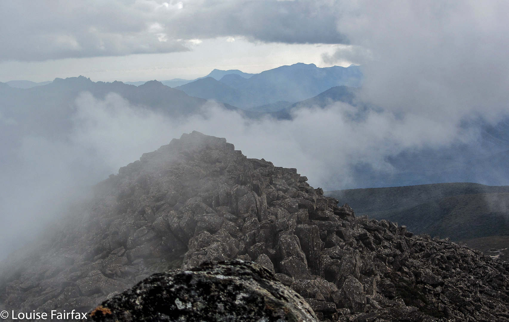
Anyway, thus clad we reached the next mountain safely (we had now climbed Mt King William II and a point that is apparently higher, namely, IIb, which has become the true Abel, as it is the highest point on the range, and not the black dot representing King William II). That afternoon it was still raining, and I did not dare to use my trangia inside the tent, so said ‘goodbye’ at 3 p.m, knowing I would get no dinner. I sat in my tent for the rest of the day wearing my lovely dry down jacket, possum gloves and wollen socks that had been saved for nights. Every now and then the rain eased and I poked my head out the tent. The view remained wonderful!

Day Three: Next day, we got to slide down the mountain. I had an absolute blast. Everyone agreed not to use that dangerous route of the first day, and so what we did was controlled sliding down 800 ms of mountain using gullies filled with large pineapple grass plants – wonderfully slippery when wet. Such fun. The rain stopped and the sun came out. I loved it. Eventually we made it to the car. I could barely believe I was still alive and had finished.
Despite some less than pleasant moments, I am thrilled I did the walk. It was a challenge that I kind of met. I’m delighted to have seen those views, summitted those peaks (all three), made the acquaintance of some new, wonderful people, and survived my first ever walk where I had to carry absolutely everything myself.

Picton 2012 Feb

Mt Picton, Feb 13, 2012.  The first mountain in my peak bagging “career”.
Of course, I didn’t know what peak bagging was at this stage, but this was the first mountain where I consulted the Abels book and steered us up a mountain that didn’t have a track. Much, much later, I would begin ‘collecting’ them. At this stage, I ticked this mountain in the back index: an act that led me down a path on which I wanted a dirty page full of ticks.

 I had decided I wanted to join a walking club so as to get to know likeminded people, but, having a husband who has Parkinson’s disease, I was a bit scared about making this move. Perhaps he would be far too slow and clumsy for a bunch of experts. Maybe I, too, had lost too much fitness to belong in such a group. I phoned the leader and suggested that Bruce and I arrive and climb early, so he couldn’t slow anyone down, and that we’d meet them all at the top of the mountain.

I needn’t have worried, but it was good to be sure. I don’t like putting others out. However, Bruce made it up the quite difficult mountain without disgracing himself or imposing on the good nature or patience of the others. In fact, given the description of the track, and the characteristics of the terrain, his first hour and a half had been exceptional. The ground had been slippery and very steep, muddy in places. Some sections were so steep that there were ropes in place, and the obstacles were many: the “path” was strewn with fallen logs, which were decked in a thick coating of moss and lichen and which had to be climbed over or under or along – each method containing difficulties when carrying a pack, and even more problems when one has Parkinson’s. The final half hour  – just pushing through bauera scrub – was easy for me, but Bruce found it challenging, as he couldn’t see the ground, so lost confidence. We pitched our tent and enjoyed the scenery, and at some stage later, the others arrived, just as we were ready to do the final leg to the summit. We arranged to meet on the very top.

I had never thought it would be at all possible for Bruce to reach the summit trig, and was shocked when he looked up and said he could do it. We ran into trouble near the very top, when the huge boulders formed what seemed like a maze that couldn’t be solved from the inside. In fact, I was making plans about where best to spend the night (there were some rocky caves) as I could get him neither up nor down and the mist was closing in rapidly, when we heard the voices of the others in our party who were now climbing behind us. Encouraged by the fact that hope lay in joining up with them, Bruce found energy and expertise from somewhere, and got over the impasse to reach the base of the final, doable climb. It was fun sitting up the top with club members, chatting, sharing chocolate and watching the mist swirling around the rocky forms surrounding us. We descended as a group, arriving back at base in time to cook a leisurely meal while the sky turned pink, the mountains purple, and the tarns took on an incandescent light in the foreground.


Summit view
It was a cold, dark night following this beautiful sunset. I had hoped that Picton would be a shapely dark presence – like a black hole – in a star-studded silvery sky, but there was too much mist for that. Even so, just being up there surrounded by tiny tarns with the summit so close and the knowledge of the endless ridgelines of other mountains beyond imbued the whole night sky with magic. There is a special feeling created by sleeping up high in one’s tent with friends in their tents nearby. I drifted off into a happy sleep, well content with the day.

We had enjoyed being with the club, but Bruce was very, very slow on the way down, and we were sure we’d never be allowed on any future walks, which we both agreed was a pity. The forest had been superbly magnificent, and it had been fun to share our experience in the bush with others who loved it too. We both felt as if we’ve had a several-week-long holiday, and not just a weekend away.
Driving home I was dangerously exhausted. However, thanks to stops for food in Geevestown and Campbelltown, and a snooze while Bruce bought out a roadside fruit stall, making a life-long friend of the fruiterer (who even gave us a present of a CD he’d made as a parting gift), I made it safely through. We played our new tape, its songs being so lyrical that we sang along with it while I drove. The music remained a happy reminder of a trip that we both now treasure, despite its difficulties.
For a gpx route, see my next post on Picton (2017). I didn’t own a gps for my first couple of years of this new game, but relied on good old map and compass.

Labyrinth and Lake Marion 2012 Jan

Labyrinth and Lake Marion   28-29 Jan, 2012

Walled Mountain, silhouetted Lake Ophion.

Walled mountain, Lake Ophion next morning.

The Acropolis from our early morning walk to Lake Elyssia from our campspot at Ophion.

Mt Geryon from Lake Elyssia, pre-breakfast stroll.

Mt Gould and Lake Cyane.

Lake Marion, night 2

The Guardians in dramatic colour, reflected in Lake Marion. 
This was a very hot weekend, and once we’d climbed onto the labyrinth, swimming was a high priority. Another was to circumambulate our lake (Ophion), and to climb up high for sunset. After dark, we sat by our lake and watched the alpenglow behind Walled Mountain.
The next day we climbed some other knobs and rises for photos before breakfast, returning quite hungry, as we ended up covering quite a bit of ground. There was time for more swimming and lazing before depitching and descending to move camp to Lake Marion, far below, where we were treated with a lovely vermillion sunset shining on the flanks of The Guardians above, and reflected the unruffled waters of the lake.
The final day was a nice short one, which left plenty of time for more swimming in Lake St Clair while we waited for the ferry.
 

SLOVENIA Via Alpina 2010.

Slovenia. Via Alpina 23 May – 2 June 2010

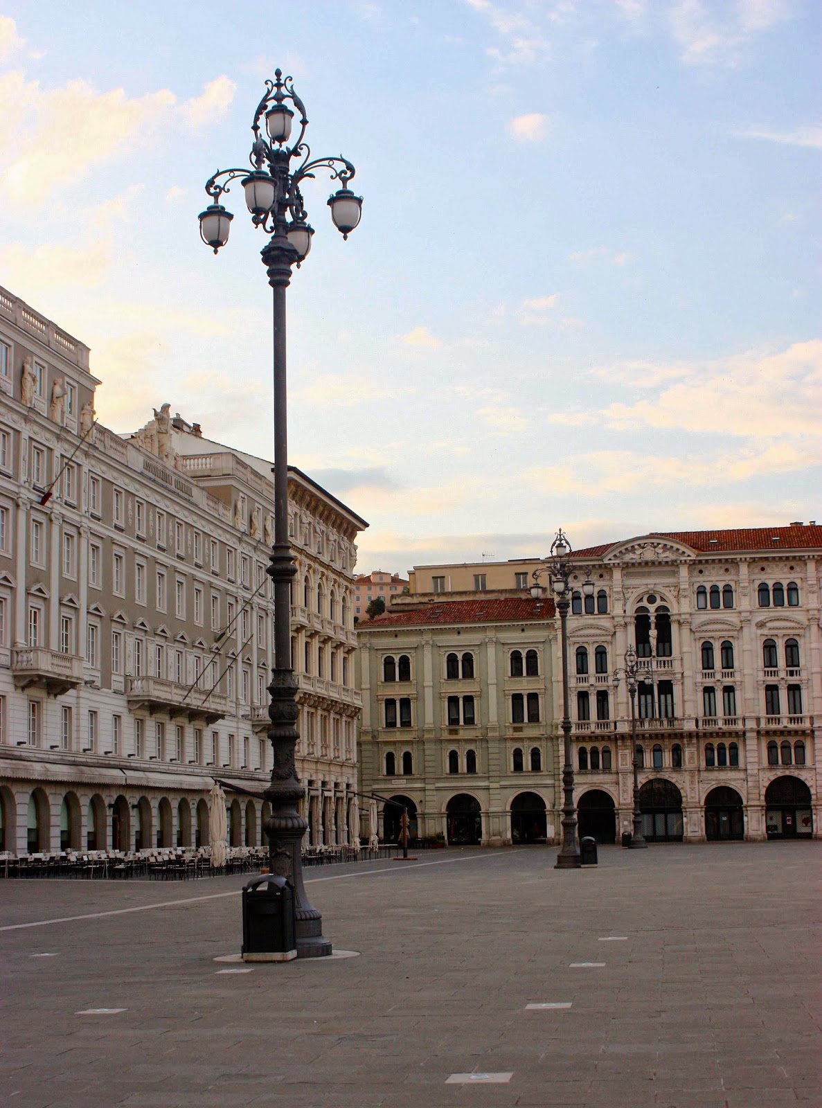
Trieste, our beginning. An excited me explored the silent city before dawn.
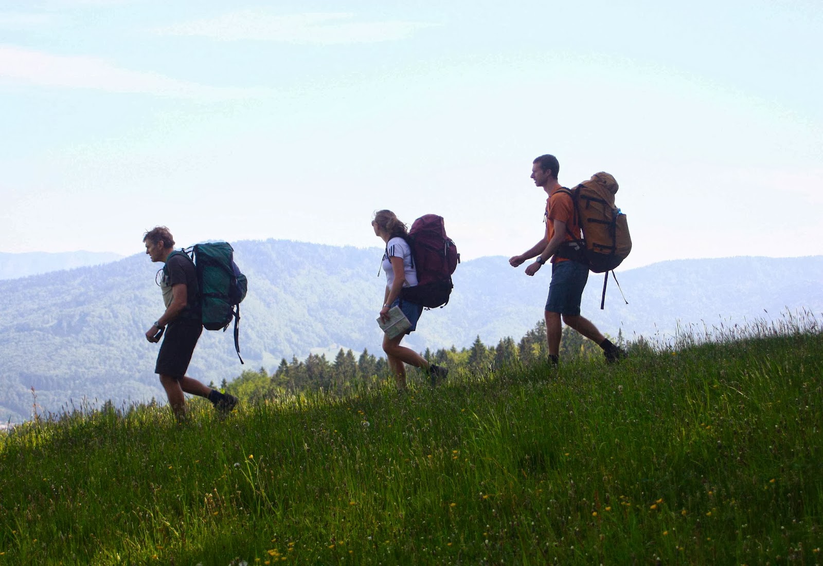
This is a glorious route my husband and I, together with our daughter and her husband, followed from the Mediterranean coast in Italy (Trieste), east into Slovenia, and then north to near the border of Austria.

It wasn’t as if the Via Alpina was a “dream come true”: I had never heard of it before my daughter suggested we do it, but it sounded like a good route when I did my web and book research. Maps were impossible to get from here, but Kirsten said she could get a few in England where they were living, and that we’d buy the rest in Trieste or along the way.

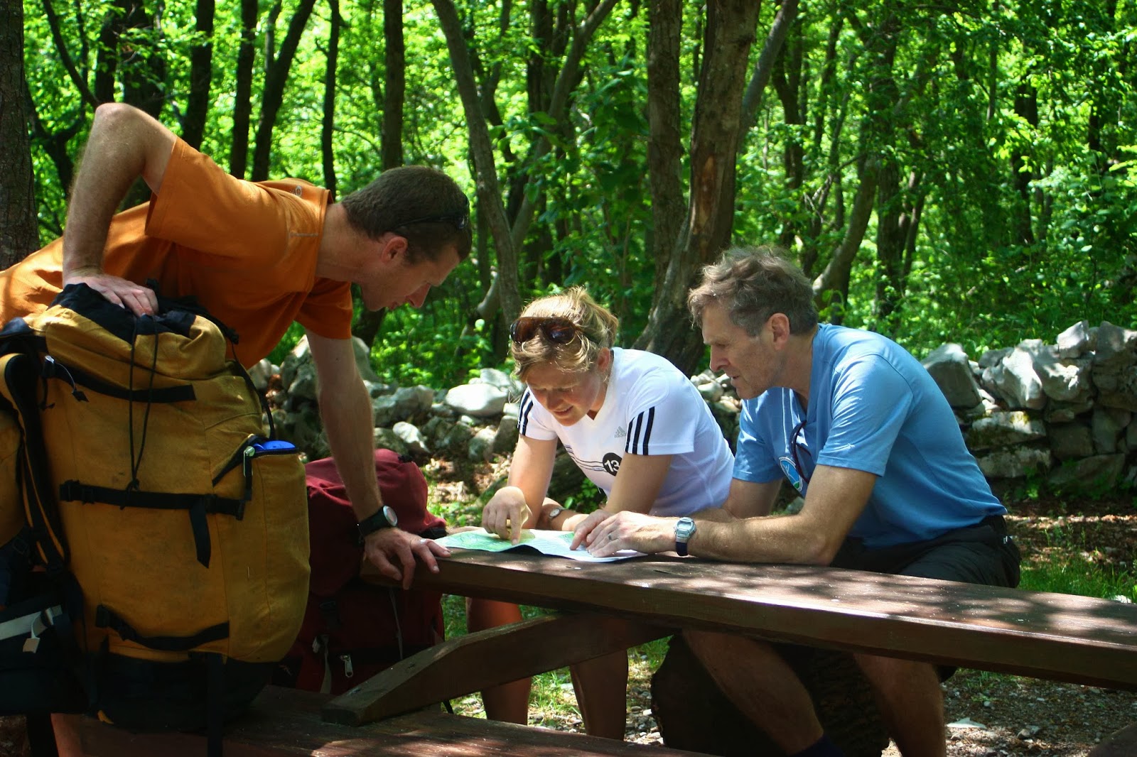
Despite many champion orienteers and rogainers in our group, directions constantly eluded us on the first few days. We were not alone in this problem.

That was a great plan, but on arriving in Trieste, we discovered that Italian shops only rarely opened, as it was a Saturday, or a Sunday, or a strike day, or a Saint’s day. So, we departed almost mapless (having also not been able to get from the airport into town for the same reason the day before … and we would encounter the same problem at the end when trying to return to get our bag of left gear). We nearly left foodless, but managed to find a panificio that made up for absolutely everything by the wonder of its wares. Weighed down with far too much because we could resist far too little, off we set into the mountains to the east of Trieste. Farewell Mediterranean.

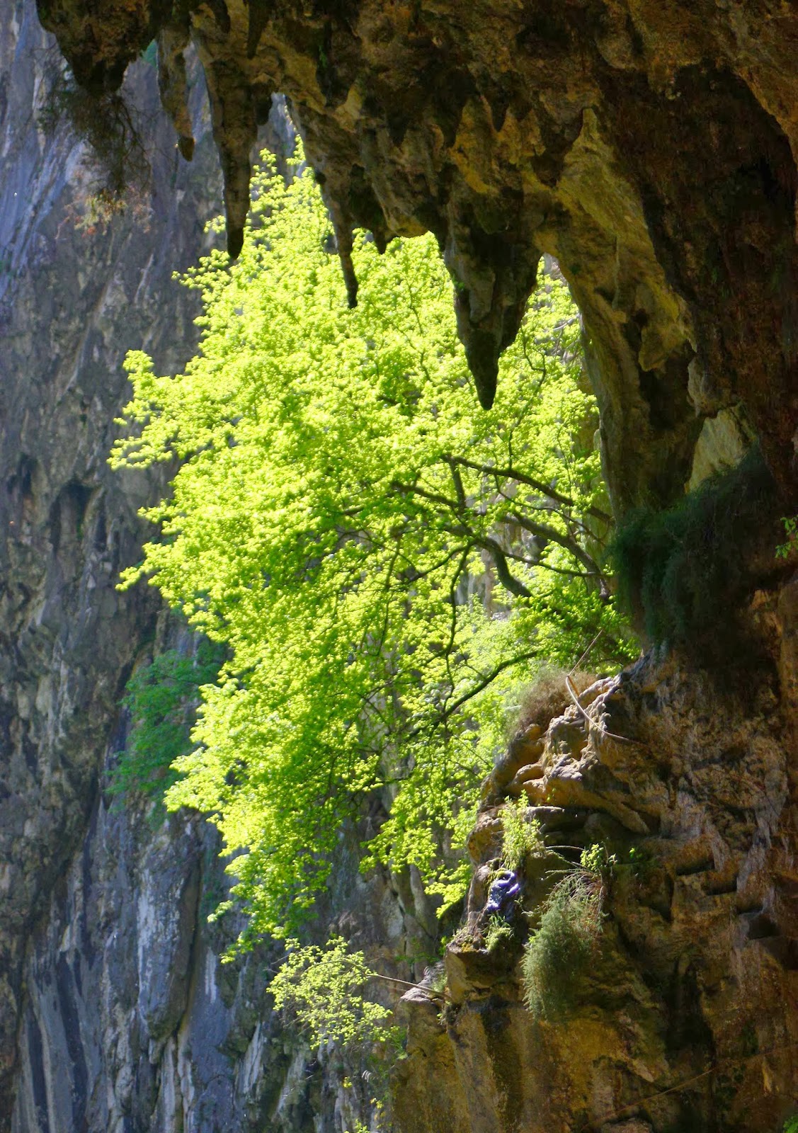
Matavun world heritage caves – wonderful!
 
Near Idrija (where there is a YHA)

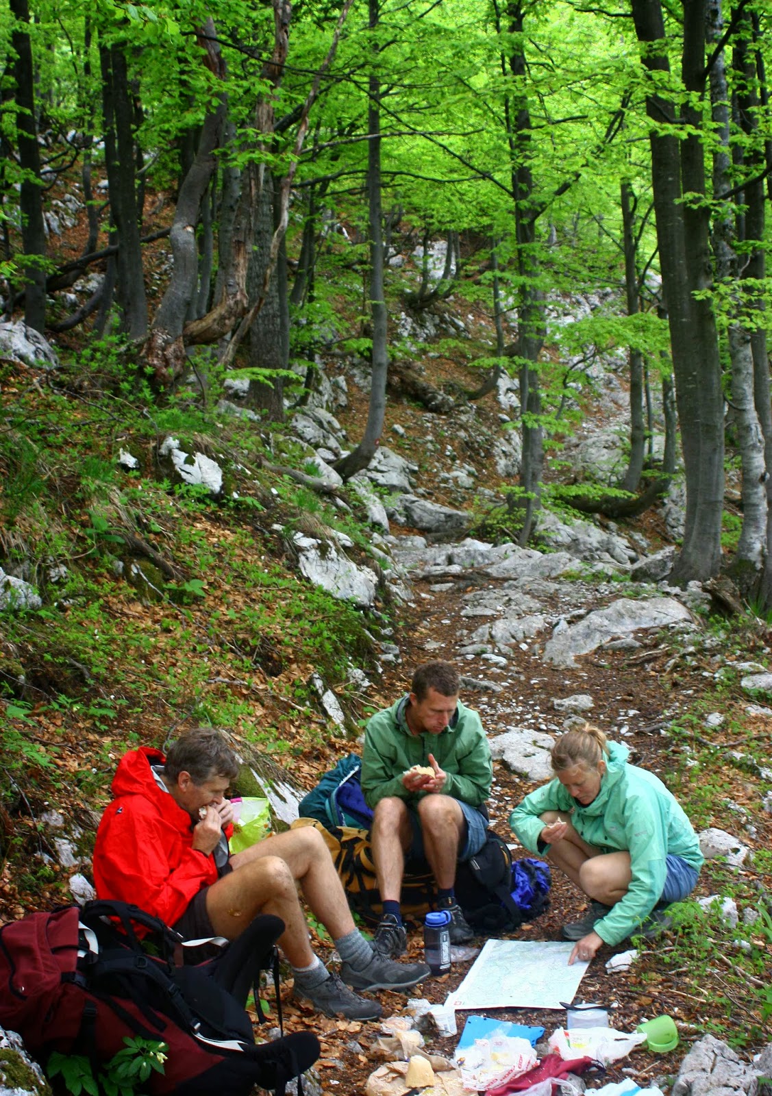
We climbed quite a lot and thus earned the feast that we flamboyantly spread out on a table in the forest at lunchtime. Delizioso. Now the packs were much lighter!

Also near Idrija

As I researched before I left home,, I had read a few references to caves on the first night after one had crossed into Slovenia, at Matavun, but didn’t think much about it. Caves don’t necessarily turn me on. We arrived at the town of the caves hot and bothered and almost without accommodation. The only place that offered beds in the place on the map (which could not be called ‘town’) had an owner who was hiding from the neighbours and kind of from us, until he found out that we were walking the Via Alpina, when he made us more than welcome, and even invited us to a party at his place that night as we would get no other food. Not only was the dinner wonderful, but we had fun at dessert time passing a huge bowl of chocolate mousse around the circle; the deal was you took a spoonful (own spoon) and passed it on until it was all eaten. Sometimes conviviality fails Aussie health and risk assessment standards, but we’ll opt for bonhomie any time. We had a blast.

Near koča na Ermanovcu
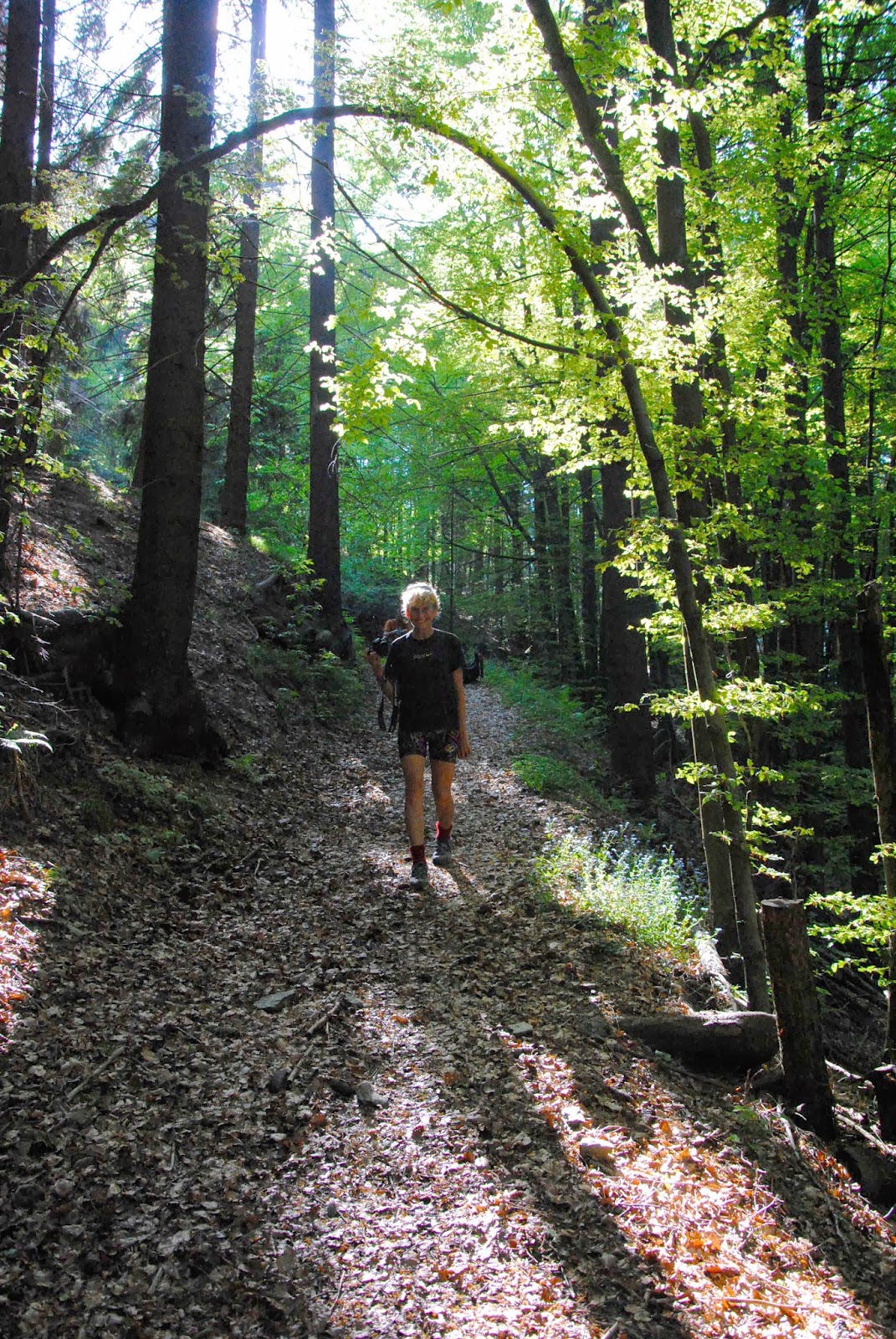
Slovenia, like Tassie, has a large percentage of beautiful forest.

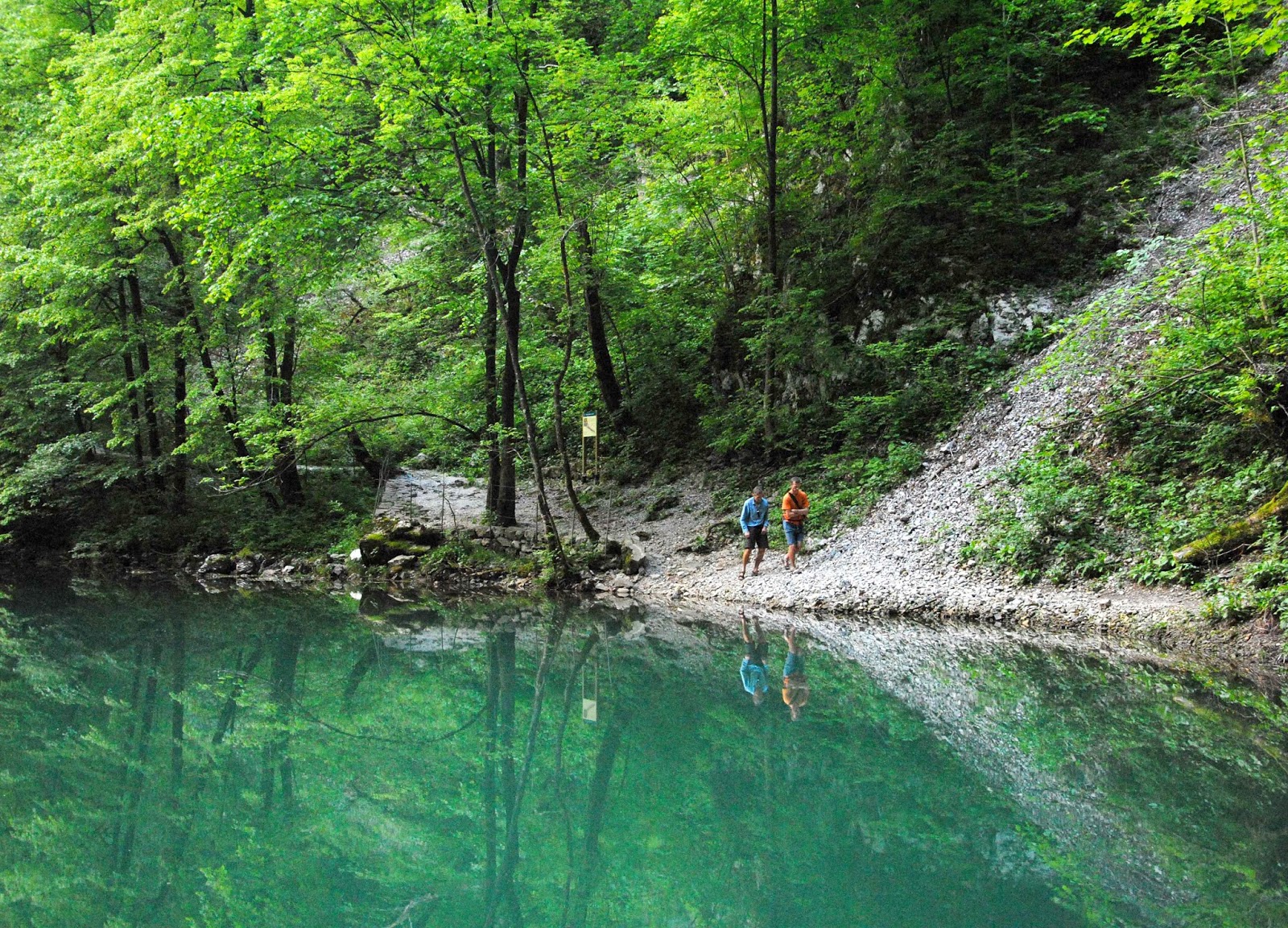
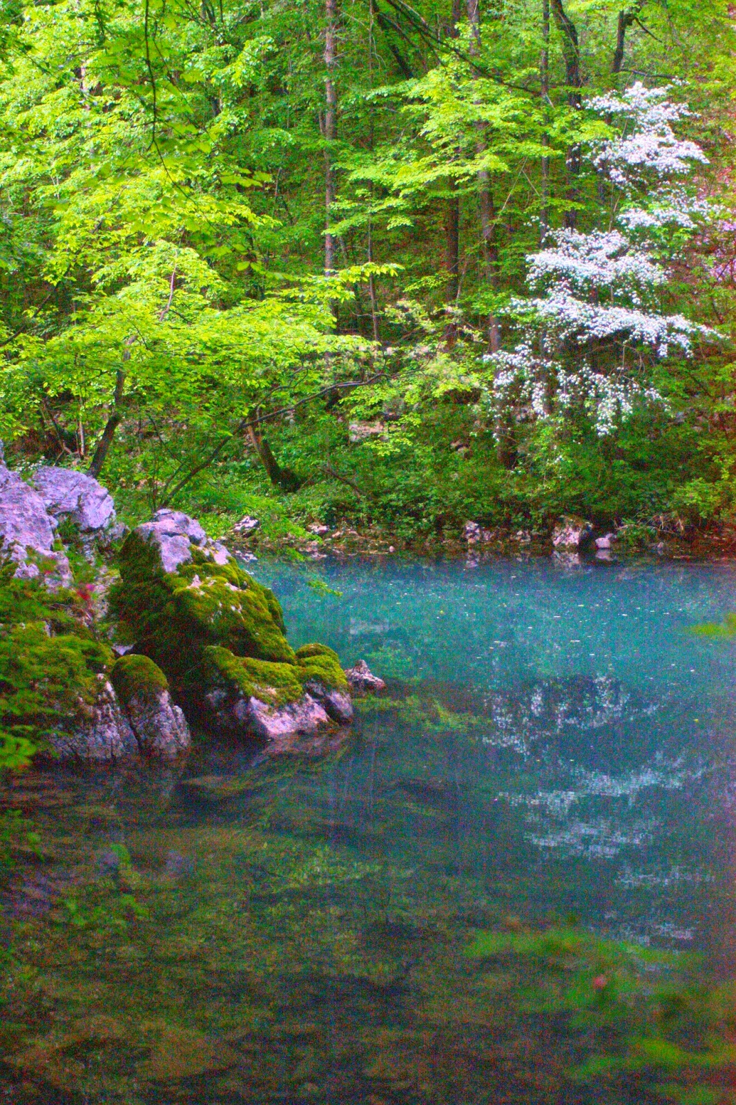
Because it had been so hot, we had headed straight down to the river on the map the evening before, with swimming and only swimming on our minds. The river was magnificent and the deciduous forest a wonderful lush green. Over dinner the caves had yet again scored a mention, so we agreed to check them out in the morning. They’re World Heritage caves, and for a good reason and they wowed us!! (So did the lunch afterwards. It seemed like this was going to be a good trip for eating.) It was also a great trip for costs. So far, everything was a price that more than pleased, and that was to continue for the whole way.

Setting out from koča na Ermanovcu
Climbing higher


Still the map to reality relationship is confusing. On the way to Crna pest.

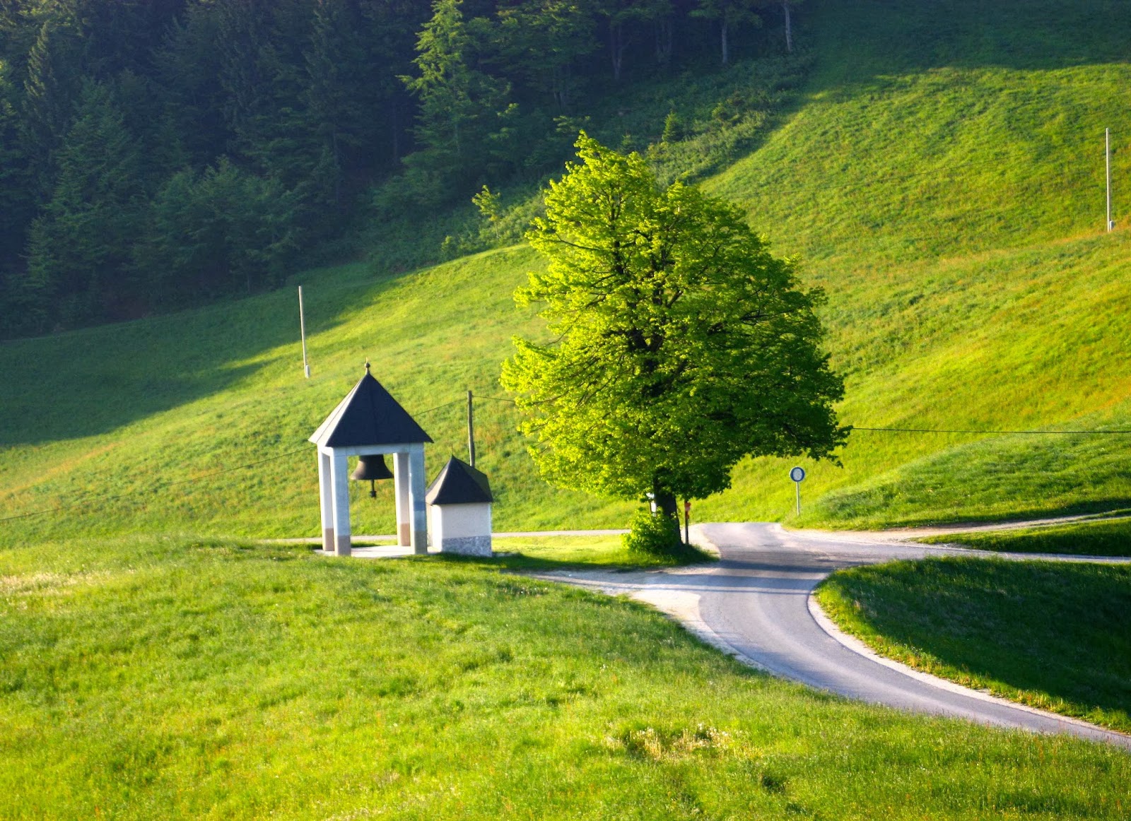
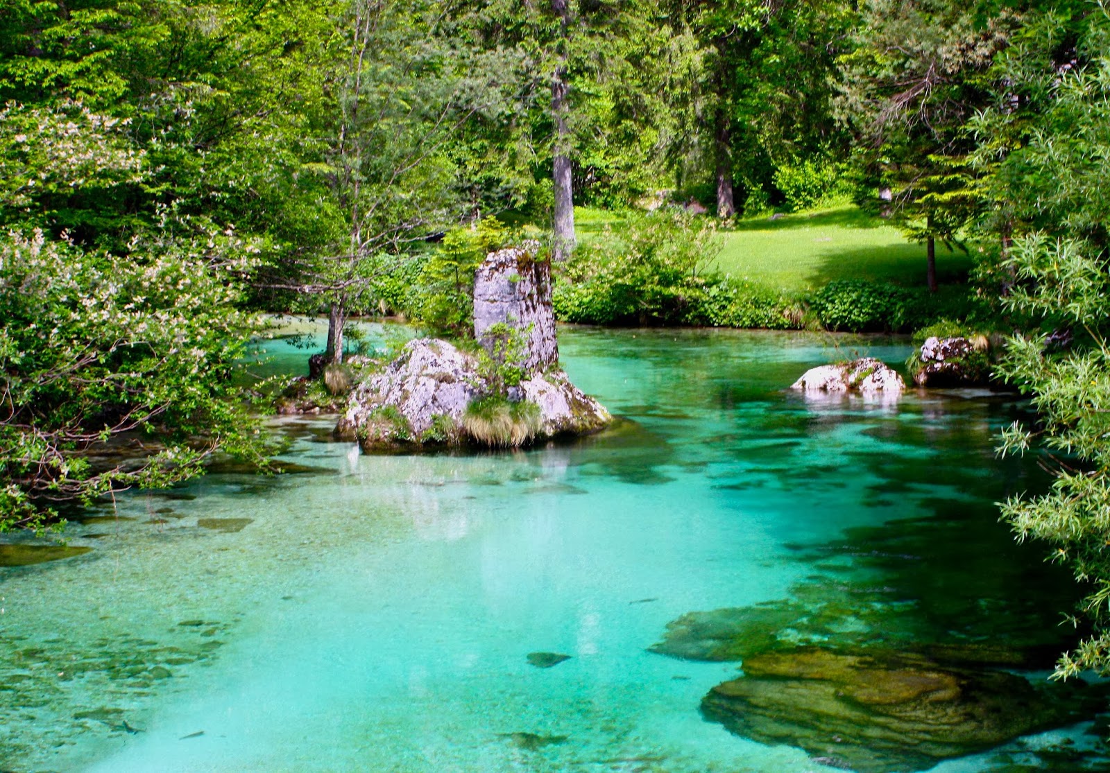
My pictures will try to hint at some of the other places of breathtaking beauty that we found. Despite all my web trawling, nothing prepared us for the amazing colour of the water (or the friendliness of the people we encountered).  I guess I should also add that anyone we met walking the trail (= , to be honest, one other couple) had the same trouble we had trying to match the map with the ground with the couple of odd markers that we found. This was not a track where you could pop the brain in the back pocket and have everything come to you. The first couple of days were the worst.

Near Ukanc bridge


Same.
Magnificent forest the whole way (when we weren’t above the tree line). Climbing to Dom na Komni.


From just outside our refuge at Dom na Komni

Any time we found someone to ask their help, the person abandoned all other tasks and devoted themselves to getting us back on track. We, and the French couple we met, were even given lifts to places we were seeking as it was easier to drive us than to explain. When we ran out of food at Petrovo Brdo, the guardian got his brother to shop for us and run the stuff up to his hut.

Black lake, which wasn’t black at all.


Nearing Triglauf, the highest mountain.
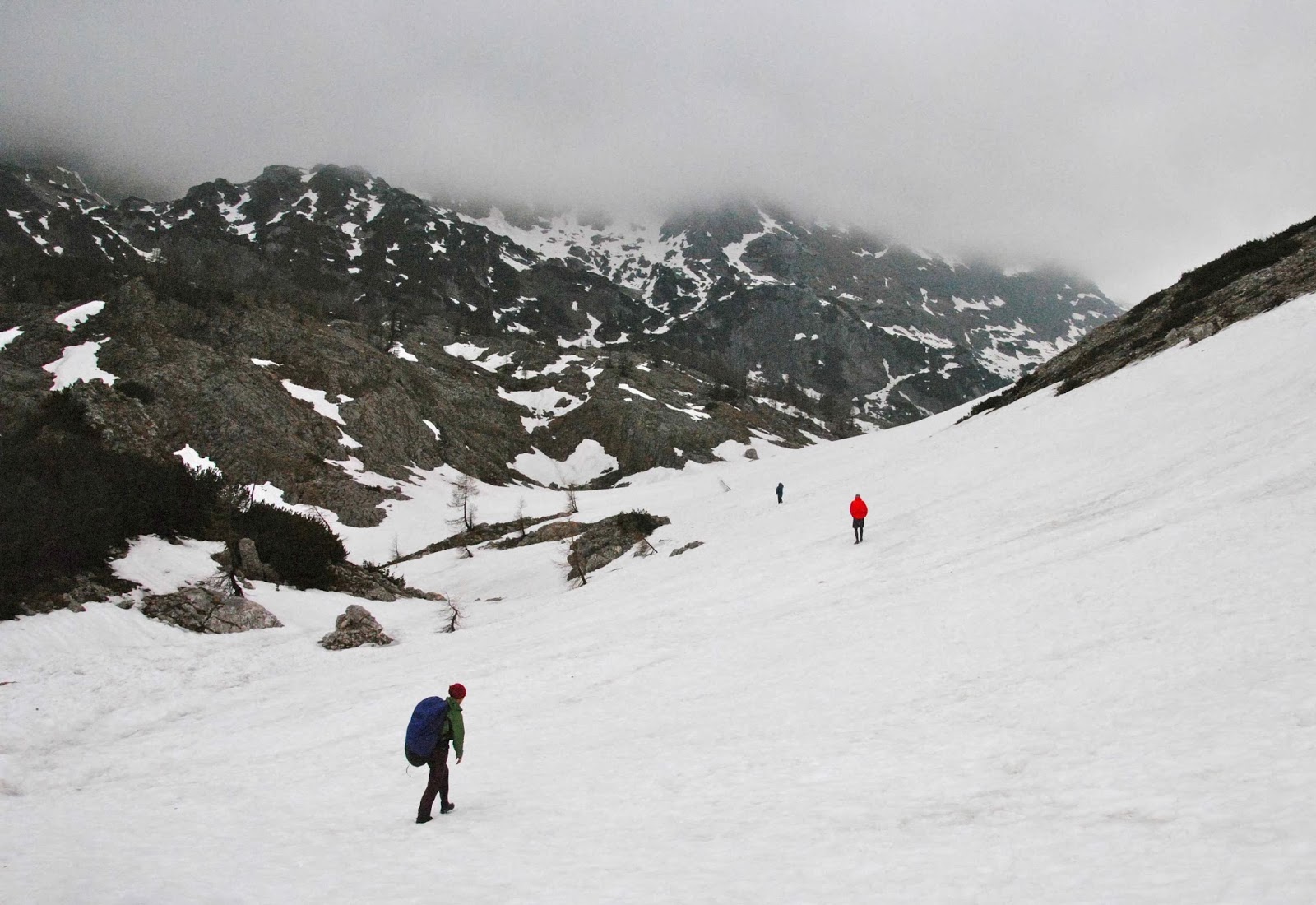
Our route was supposed to take us up the west of Slovenia along the standard trail, to the west of the highest mountain of Slovenia (Triglauf, which I had every intention of climbing) and on into Austria. However, an overabundance of snow and the closure of all huts in the northernmost section, together with the fact that my husband needed a dentist meant that we went as far as Triglauf but then doubled back through the snow and headed east through different mountains and then did the last bit to Bled by bus (where my husband was treated superbly by the hospital).
 
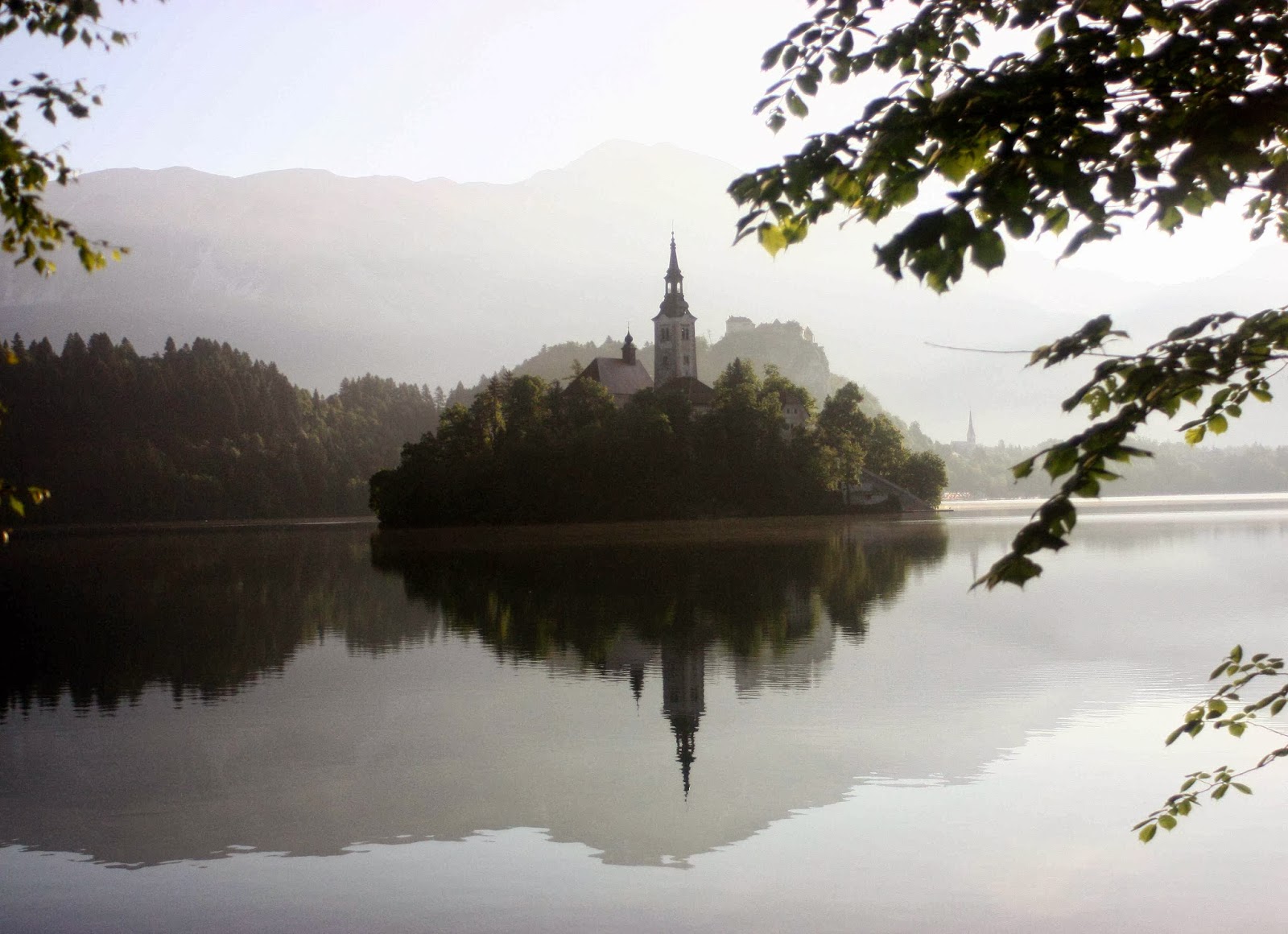
Bled


Radovna valley, where we both walked and cycled.


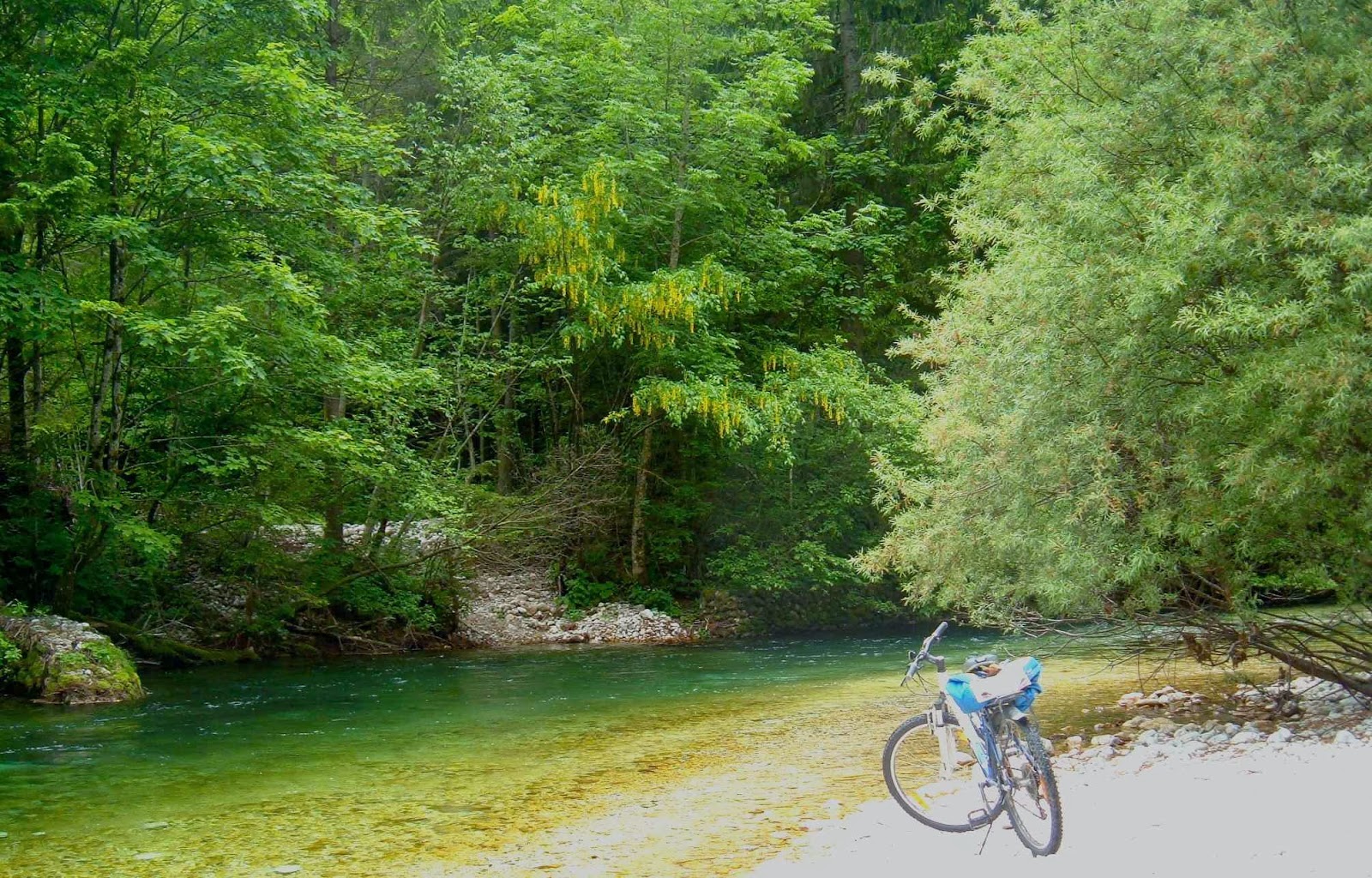
River tranquillity.
Bled was so magnificent, we hired bikes and explored more rivers and gorges and a different national park. We took an unconscionable number of photos, ate a fury, and did more walking and running and cycling. We thoroughly recommend the Via Alpina and its offshoots.

FRANCE-ITALY-SWITZ Tour du Mont Blanc 2009.

Tour du Mont Blanc  14-21 June, 2009
Day 2. Climbing Col du bonhomme

 How many parents are lucky enough to share a mountainous walk of several hundred kilometres with a child and partner? I’m sure we’re not the only ones, but we do feel amongst the privileged few. What is fixed in my happy reminiscences is not really a scene or event but the fact that we were all sharing it together – that we were showing our daughter and her husband something we really loved, and that they were “receiving it” with us.

Day 2. Same col, higher up  
Apart from the joys of walking and talking, or of gazing at wild animals together, sharing meals high on a mountain top gazing out at infinity or laughing together with new friends in the huts, if I try to select special moments, I guess two stand out.
 

Day 3. Setting out after the hut in col de la croix du bonhomme


Day 3. Early


Day 3 Ranunculus amplexicaulis  Above Motets 

One is of my daughter and her love of photographing wild animals. In the Shetland Islands, she took about 400 shots of puffins (so says her husband), and here she tried to equal that record with both marmots and ibex. It is funny as a parent to see your own proclivities repeated in the habits and hobbies of the next generation. I love marmots and ibex and photography, but stop after about 15 shots. I find it endearing that our daughter just keeps on going.

Day 4. Above Col de seigne
Day 6 Heading for Col grand ferret
Day 6. Playing in the snow the other side of the col


Day 7.  Ibex near lac blanc
 

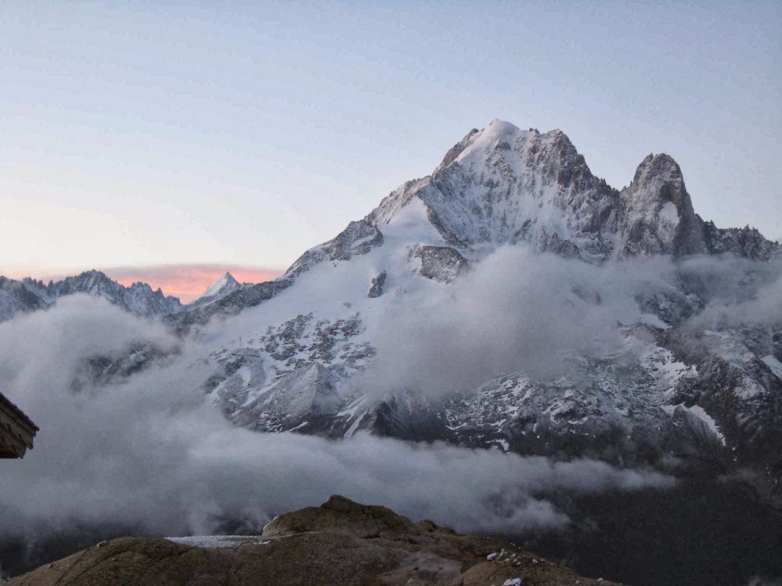
The second is that of our final morning, and what a finale!!! We had climbed to the hut at Lac blanc in falling snow – wonderful, gentle flakes of it – but now I was sleeping in the kitchen (because of snorers). It was still pitch dark when I heard someone moving and I feared I was about to get into trouble. However, the noise was from our daughter getting dressed near me rather than in the room where she might disturb people. “Dawn will be here soon, mum” she said. I rolled up my mat and quickly dressed to join her. There in the steely sky was a white world around us, with the sharp peaks of the Aiguilles du midi thrust into the darkness; Mont Blanc lay beyond. Clouds filled the valleys below. We were very high, and it was magic. For the next four hours we alternated between being outside and photographing the most beautiful sunrise I have ever witnessed, and dashing inside to try and warm up – it was quite a bit below zero out there!


Dawn from lac blanc


Playing in the snow before we descended
And the good news for us was that K and K still had one year left at Cambridge and that we would all do another long walk, same time next year – the Via Alpina. I had a whole year to draw up the plans.