Snowy North 2015 Oct

Myrtle forest

A mountain may well stand as an objective piece of reality, but our relationship to a mountain is a very subjective thing. Unfortunately I was not feeling well yesterday when I climbed Mt Snowy North, and this feeling has coloured my experience of the mountain. I try to look at it dispassionately, but the dulled mood brought about by a less than healthy body somehow infuses every impression.

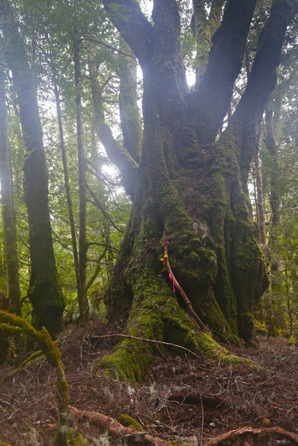
One of the many grand old gents of the forest complete with a stick that many people have seen the need to tape for some reason better known to them than to me.

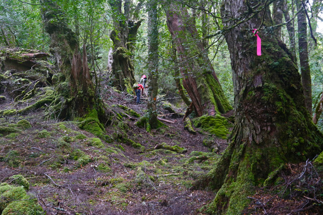
Attempting to view it without my nausea, what do I see? I see magnificent myrtle forest in the lower reaches through which we climbed, not abruptly, to a point where we actually descended for a tiny bit in order to traverse for over a kilometre. I was thrilled to have the chance to remain in the forest longer that this traverse enabled. When looking at the route we were following, provided for me by my friend Murph who had taped it afresh not so very long ago,  I had feared this traverse would be in the scrub band, so was pleasantly surprised. In this section there were some very grand old myrtles with huge bellies, ancient drunkards, bulging. Everything was covered in moss; lush green was the dominant colour. At the end of the traverse, it was, of course, time to climb again. At this point, we noticed a ribboned trail going steeply downhill to our right – the other route up the mountain that is shorter (more direct) and steeper than our route. As I love myrtle forest, I was glad to have spent more time in it than that other route would have allowed.

 Up we climbed, out of the glorious green into the expected protective band of bauera and scoparia and other prickly bushes – a band that fiercely guards most mountains for about a hundred vertical metres. The pad  continued, although it was tricky to locate in places, as the bushes crowded over the track to hide it. As one friend wryly noted, this was nothing a good dose of napalm couldn’t fix. The gradient was such that you actually had to grab these thorns to pull yourself up. It felt like about eighty degrees, but it was probably only sixty. The contours were very crowded on the map in this section (of course). Grabbing the thorns was a real treat. Anyway, all parties eventually finish, and this one did too. We crested the rise, chose a spot that gave us a little shelter from the blast that greeted us in the open spaces above, and enjoyed a quick lunch in the light rain and mist. Views were not on offer.

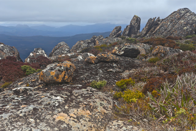
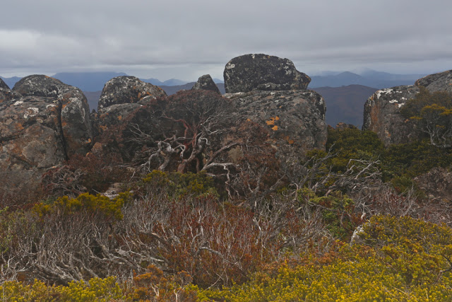
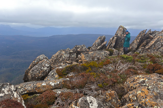
The summit was still over a kilometre away (33 minutes from where we were), and this was, luckily, enough time to allow a few of the more energetic of the surrounding clouds to move away and give us a rather attenuated view. We could see that mountains were around us, but they were rather blurry and smudgy. I had the feeling that, even on a good day, we were not exactly enough in the centre of action on this mountain to get superb views anyway. Perhaps I’m just jaded.

David admires what there is of a view near the summit

The trip up having been quite steep, the trip down was good and fast. I got good practice in reuniting myself with my orangutang past, swinging gaily from limb to limb as I descended. Several of the party had rather filthy derrières, having chosen a different method of descent.

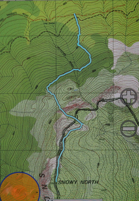
Our walking route from the cairn to the top

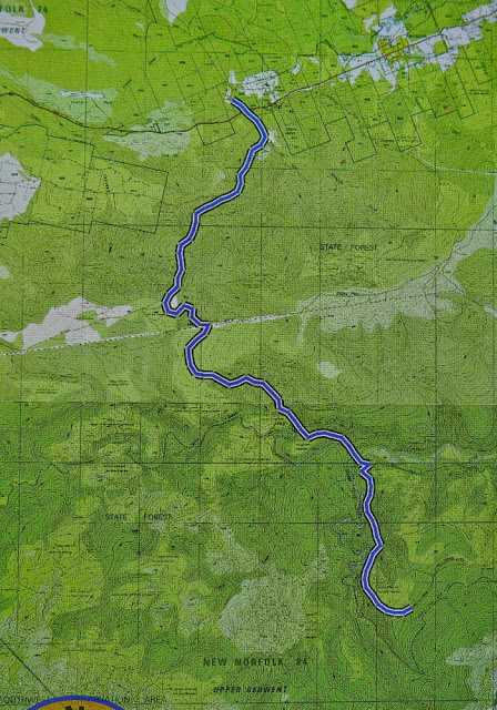
Should you want to do this trip in a hurry, I can report that, thanks to the efforts of our group, the road to the start is now clear of all the many fallen trees that blocked it until yesterday. Thanks to bushwalkers, our forest roads are remaining kind of open. Below is a map of the route we drove in past Maydena to get to the start. We parked at the locked gate on the map (so, a bit further than the line below would imply), and then walked no more than 300ms to the cairn that marks the start of the taped route in. Tapes in the first few hundred metres are not frequently placed. There are some triangular bits of orange plastic early on.

The road route in from just past Maydena, where you turn right to go left under the main road, which is the dark line running roughly east-west.

St Valentines Peak 2015 Apr

Sun rises behind St Valentines Peak as I drive up from the south, having spent the night at Guildford.
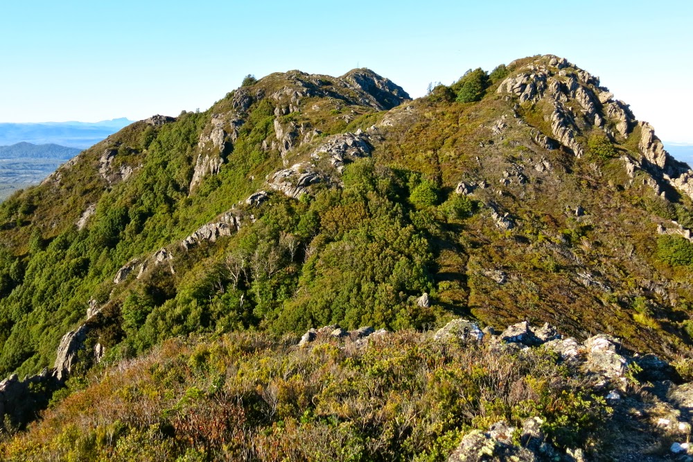
As I expected, the thrills that St Valentines Peak had to offer me were the fun of the climb and the beauty of the rainforest rather than the view from the top – but that’s a personal thing. I’m just not a lover of a vast vista over a huge flattish area. I like looking out at other mountains. That said, the dragon-spine ridge line at the top was great fun.

Looking at the bumps on the ridgeline
I had toyed with the idea of doing the Abels Vol 1 route, but decided against it as the path might be faint after so many years of not being used during Gunns’ reign. I thus opted for the longer Vol 2 route that would definitely be there. I liked it, as I was surprised by how much of the total journey was through wonderful rainforest. I had expected large tracts of uninteresting scrub. The myrtle forest with mossy logs and fungi in abundance kept me company for most of the way. In fact, of the nearly an hour it took to summit the first high bump on the ridge, only six minutes were not in rainforest.
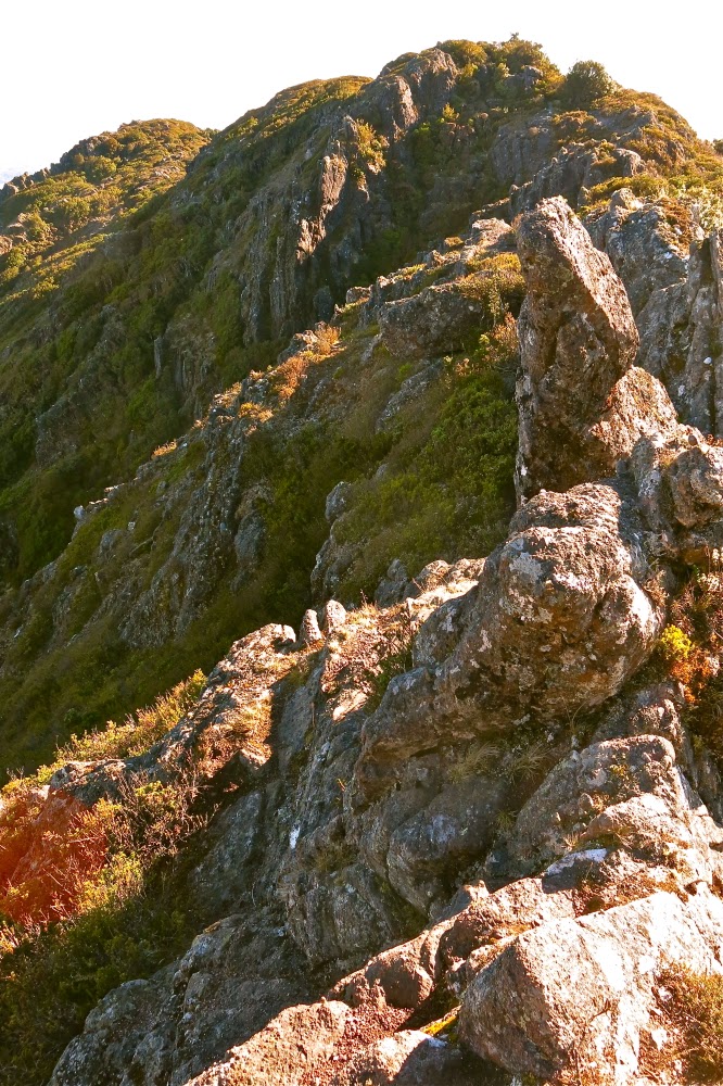
Fun on the ridge

Once up, I lingered and dawdled my way along the ridge, enjoying being on a narrow band like that. The shapes and textures of the rocks entertained me far more than the hazy views out below (hazy despite its being really quite early. I was disappointed).

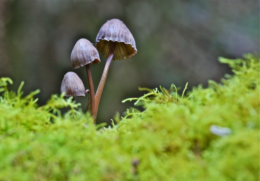
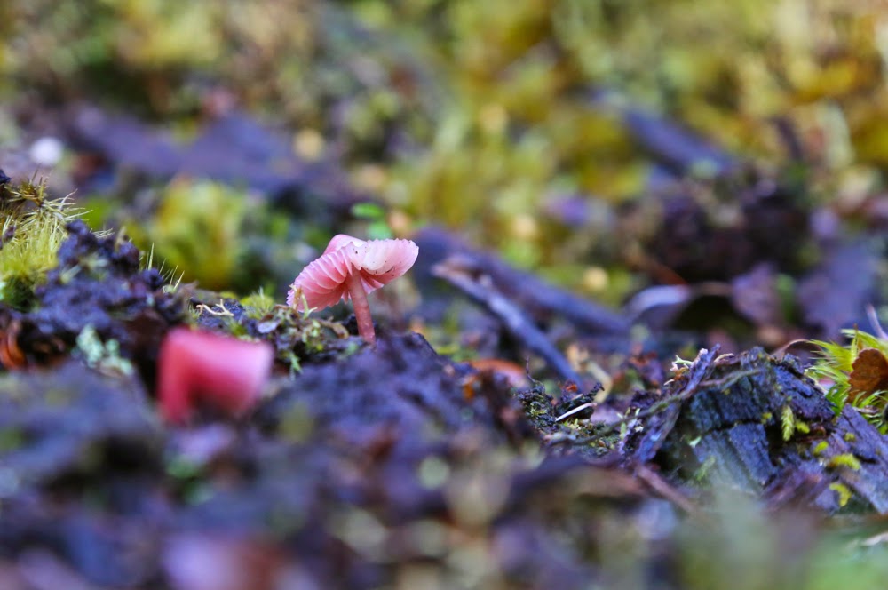
One of many beautiful fungi (Mycena sp).
Ridge enjoyed, photos taken, it was time to descend and drive home, with a stop for lunch at ETC in Elizabeth Town to refill my tank. I was hungry.
Track data: 9.73 kms. 1002 ms vertical climb. Really surprised to see that there was so much vertical gain (I hadn’t bothered adding contours before I left, and didn’t particularly notice that the number was huge while climbing).

Tor 2015 Apr

Mt Tor, Apr 2015

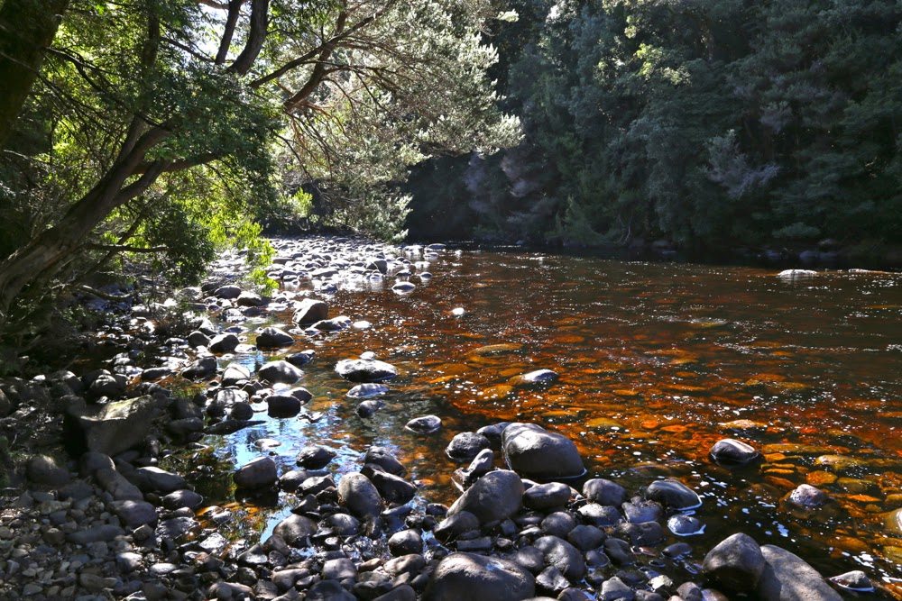
The Leven River, start of our journey

Mt Tor doesn’t always get good street cred, with some vicious rumours floating around about thick bauera and leptospermum that are not a pleasure. Meanwhile, more generous folk maintain the bushy barricades are not too bad. After our experience yesterday, I’d have to agree with those who say the going was better than expected. The views from the top are certainly well worth any effort put in.

Cradle and Barn Bluff form the summit

My climbing partners for the day, Mark and Jo, had to drive from Hobart, so we didn’t exactly get an early start having also negotiated all those forestry roads, chatted to the guys at the gate and more. At last, however, we were off, crossing the beautiful Leven River from a not insignificant height on logs that had, at least, had the rounded tops flattened, so were not threatening as long as you weren’t drunk.

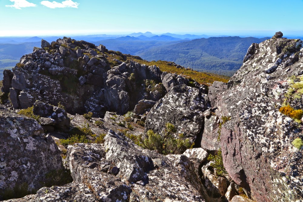
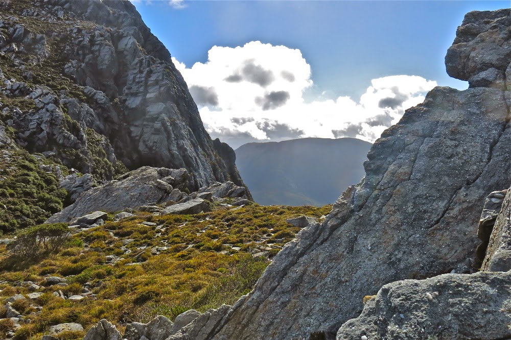
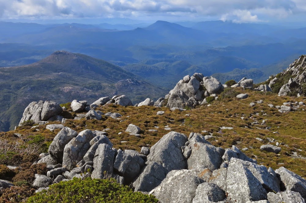
Looking slightly north of east from summit area

The roads as described in the Abels Vol 1 were all intact, although the final one was quite overgrown, albeit still very distinct. The instructions in the book were to go to the highest point on the final road, but just as we were due to turn left, I spotted the hint of an old lead heading straight up, and we all agreed to take it. I kept an eye on east on my compass, but it was much better just to follow these linked leads through the glorious rainforest and correct later, and that worked well. I knew a creek and the big gully that leads to the top were to my right, but didn’t go searching for them whilst the way was so good where I was. Every now and then a sawn-off tree trunk confirmed that activity had once taken place where we were.

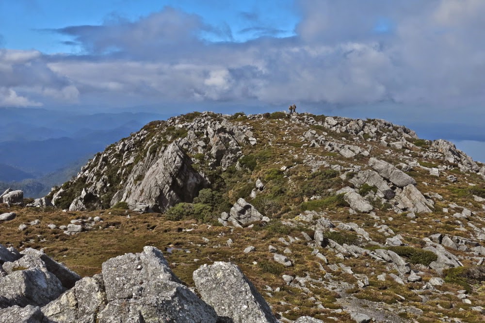
Tiny summit cairn to the right, although the black dot is a tad further south. We visited both.

Once we hit the rocks the rainforest ceded to head-high scrub. Time to go find this gully, as the rocks themselves were much too slippery to climb. Using a mixture of climbing and contouring, heading up (east) and right (south) as the terrain dictated, we eventually hit the broad gully, after which the going was very easy with abundant pads heading up to the ridgeline which I loved with all its bumps and rocky knolls. The view was glorious, and we enjoyed it greatly while we ate our lunch. It had been under two hours’ walking time to the top.

The trip down was not as speedy. We had seen what looked like a track going up, so decided to follow it, but it dumped us in a tangled mass that was above my head. I was grunting with the effort of clearing a way through it and was very happy when Mark offered to take over the lead at this point. I’d loved leading through the rainforest, and didn’t mind the chest-high stuff at all, but I was feeling rather smothered by this wall of twigs that resisted movement and that was so high that I was invisible in its mix. With Mark going ahead of me, I could use the slightly bent branches to make better progress following in his wake. Back in the rainforest, I took over again, leaving Mark to concentrate on helping his wife, for whom this was a debut Abel summit.

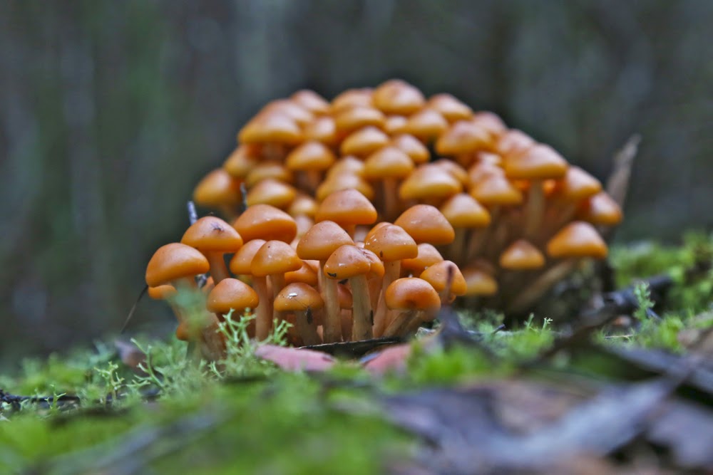
Hypholoma fasciculare var. armenicum
Why was Jo given Tor as her first taste and not something easier, you ask?  The answer is simple: Mark is on the final countdown to completing all the Ables and wanted Jo to climb one with him before he was finished. Tor was the easiest of the ones left. Whilst I am telling you it was much easier than expected and a bit of a breeze really, that is from the perspective of someone who’s done battle with some pretty fierce scoparia. I think it’s amazing that Jo managed to climb this mountain.

“Are they all like this?”, she asked.
“Well, some are easier, but …. er …. mostly, yes,” confessed Mark, “and some are much worse.”

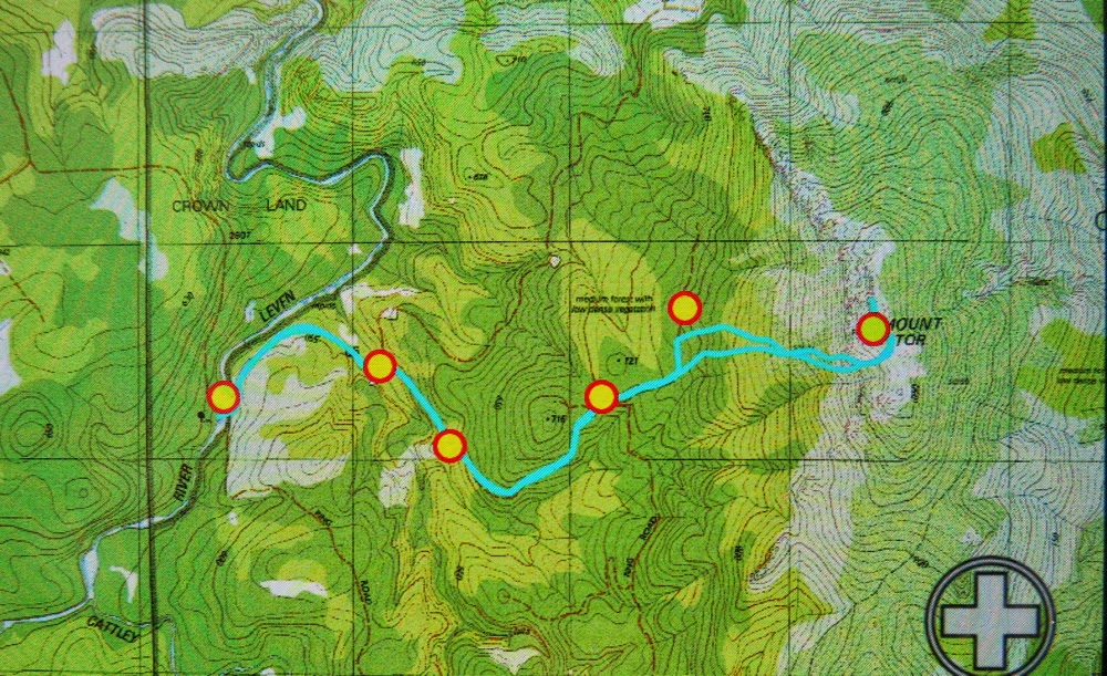
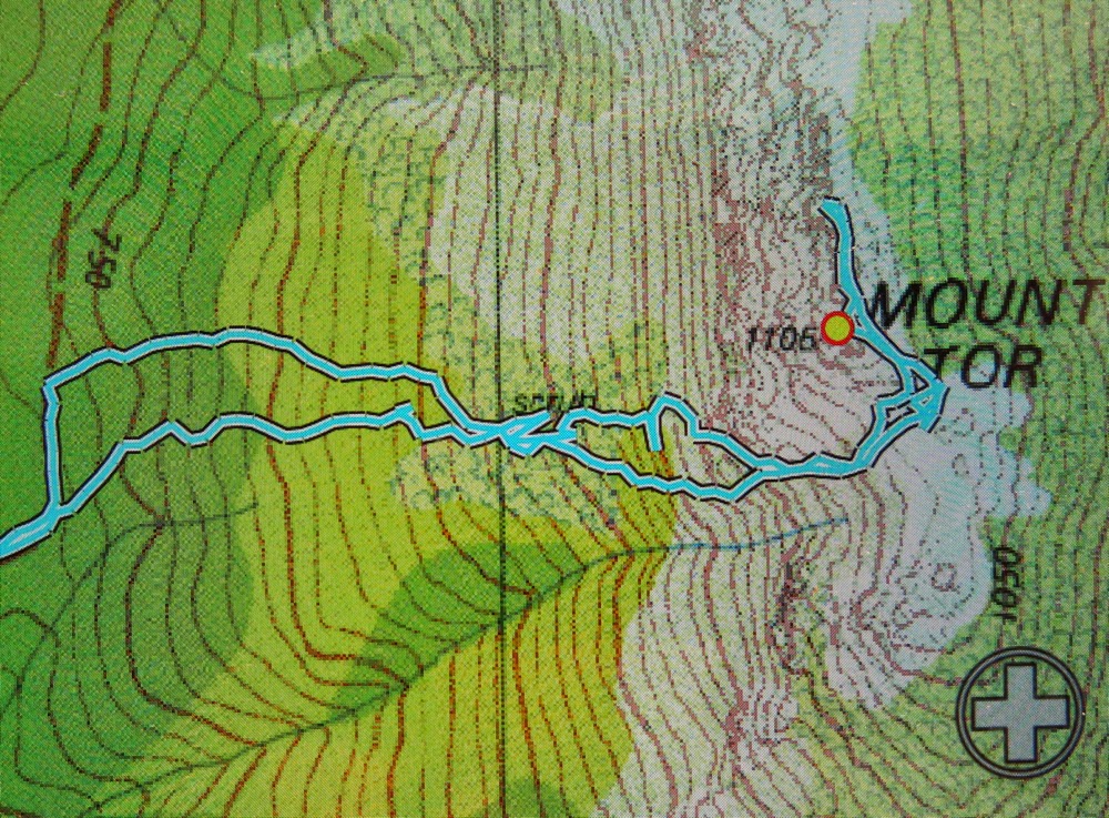
Our route from carpark (old picnic area) to summit (both ‘summits’). (Waypoints put in in advance)


Larger version of the bit that involves navigation. The track that begins at the road bend and is more southerly at the start is our route up, which worked well. It becomes the more northerly at about half way. Once we hit the rocks / cliffs, you can see we head SE to the gully along the path of least resistance. The loops at the top are because I had fun dashing about taking photos. The extension beyond the marked summit is in case the tiny cairn we could see to the north was the real summit, so we were covered. Somewhere near that contour cluster on the way down lies treacherous, plotting and masterful bauera. It had the victory over little Louise. The blue line does not tell this tale. 
Track data: 11.65 kms, with 610 ms ascent. As with Valentine, really surprised to see the climb. When you’re busy negotiating greenery you just don’t notice that you’re climbing at the same time.


Sorell 2015 Mar

Mt Sorrell Mar 2015.
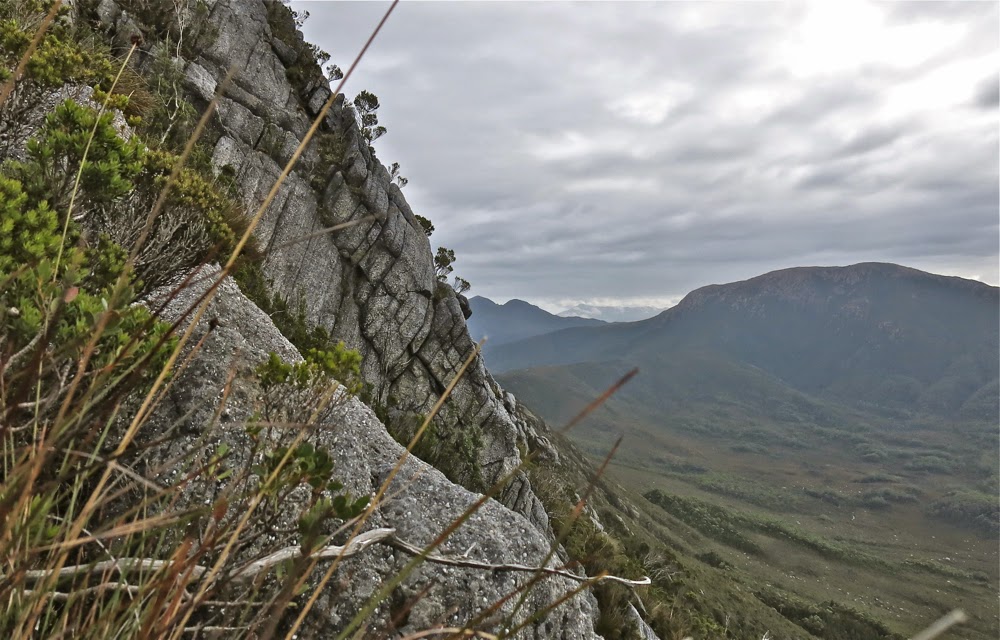
This is the slope we were negotiating

Mt Sorell has a formidable reputation. For that reason, the three men I was climbing with had left it until nearly last on the “to do” list of climbing all the Abels (peaks over 1100 ms in Tasmania). Of the 158 Abels, it was Andrew’s second last peak, and Terry’s fourth last. In fact, this would be Terry’s fourth attempt at the mountain. It does not give away its summit easily. These two men, on their first attempt four years ago, spent a whole day “punching holes in the scrub” to create tunnels of thoroughfare and laying tapes so that future attempts would be easier. They were. Because of their tapes, a couple of brave parties have gone through, finding the going much easier than they had done, and in the process, creating signs of human wear here and there (but not too much or too often) which now makes the going easier. But do not take this mountain for granted. If you think Mt Wright is too steep, then don’t bother with this one. It is not only steeper, but perilously slippery in wet weather (which we had). Route finding, even for the original tape layers, is not easy!
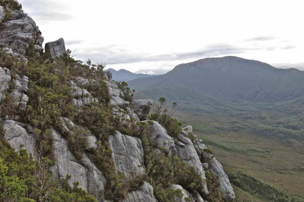
Another view of the kind of terrain we contended with

The forecast for our attempt was mixed: OK Saturday morning; furious rain Saturday afternoon; possibility of showers but also the possibility of clearing on Sunday. That would be our attempt day. On Saturday, we just got ourselves into position and sat out the drenching rain. Mark and I amused ourselves by counting the leeches crawling up the outside of the inner layer of our tents, calling out numbers to each other across the distance between our tents. Mark teased them, putting unattainable fingers on the other side of the fabric, but very near. Whenever either of us put a hand into our vestibule to get, say, our mug, our hands would be covered in leaping leeches before we’d even had time to grab what we wanted. I tossed up whether it was worth the price to cook dinner. Could I flick them off faster than they leaped onto me? I certainly did not dare go to the toilet. My crocs in the vestibule were covered in dancing, writhing, eager searchers for my blood.
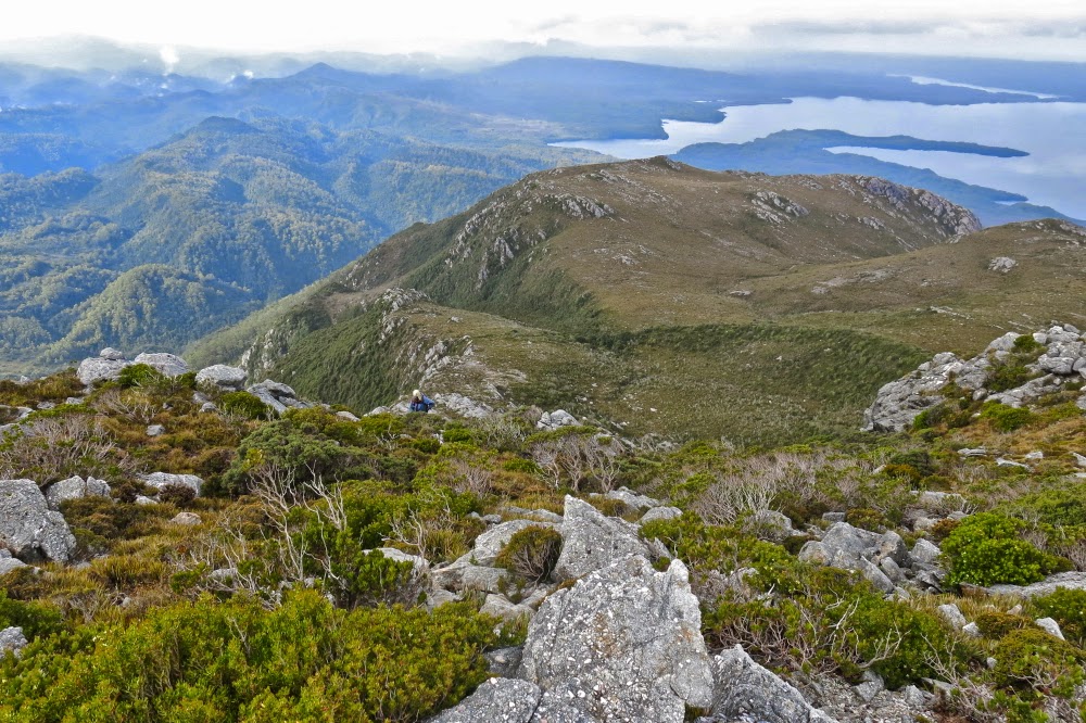
A view from higher still … but there’s still plenty left to do.

Down below, Andrew and Terry had no leeches, but were fully occupied digging trenches and sticking holes in the metaphorical dykes to prevent the water flooding their tents. When Mark and I found that out next day, we were very glad to have camped on “Sorell heights” rather than the more protected bowl below. My tent changed shape dramatically with each blasting gust of wind, but that’s better than digging trenches in a storm.

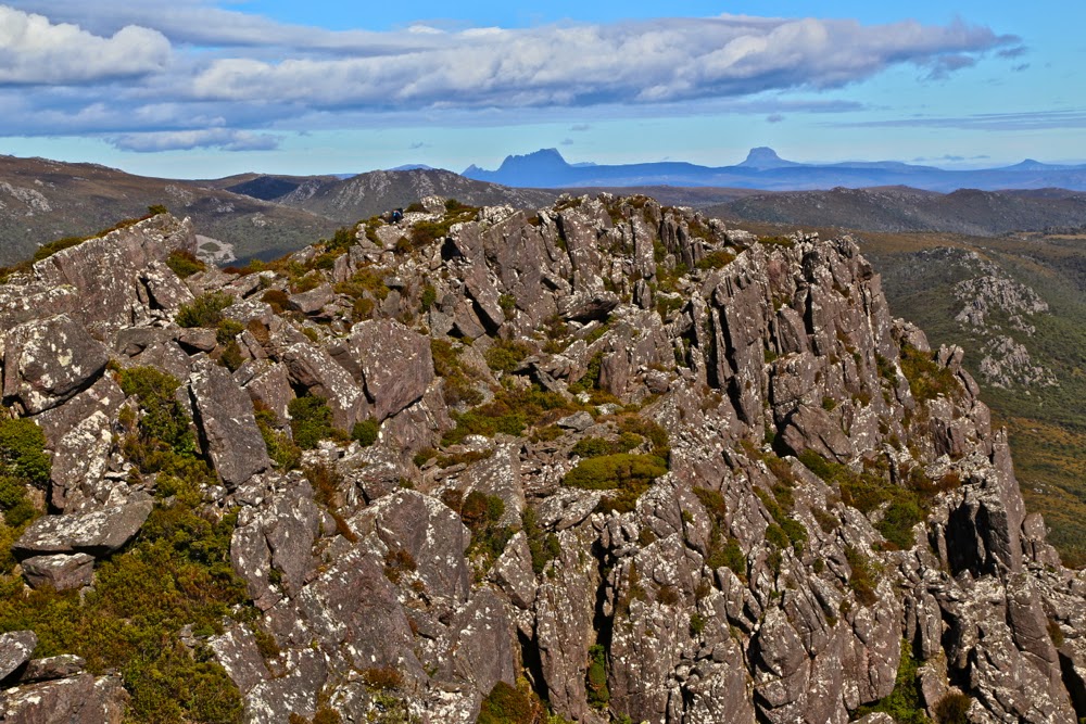
The final saddle on the ridgeline before the summit. use that little bit on the left to climb and we’re there.

In order to make sure of the summit, our departure time was set at a sensible 7 a.m., and, as it was to be a 12-hour day, this was a good thing. We breakfasted in the dark, and set out at first light, through the wet scrub of the lower slopes. Up we climbed. It seemed pretty steep, but the experienced Terry and Andrew told us “we ain’t seen nothing yet”. OK. Mental reorientation. Soon enough we entered what they called the “tunnel of love”. This had taken them hours and hours to forge on that first, momentous trip. Now, thanks to their work, we were able with little effort to burrow through what would normally be energy-sapping, almost debilitating and demoralising scrub. One look to left, right or above and you appreciated the time and effort that had gone into this tunnel. Soon, they said, the hard work would begin. Pity. I had thought I was working pretty hard already. Then began talk of exposed rocks. Oh dear. What was this day going to bring?
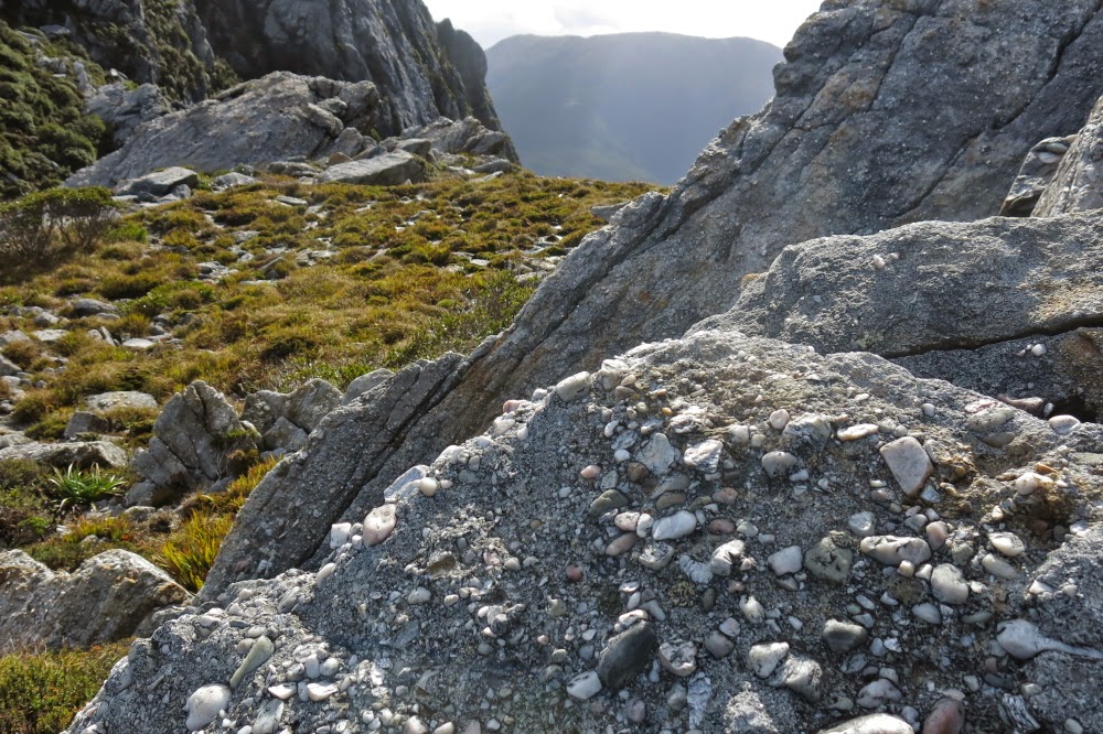
Another view of the final saddle … just because I love the texture and form of rocks

Towards the end of the tunnel, we began to enter territory so steep that the next step involved hauls up 2 ms of slippery mud or sheer rock. I tugged for all I was worth on roots or bushes but sometimes that wasn’t enough. At least five times, I needed Mark’s friendly hand offered to give my muscles that extra oomph to ascend the otherwise unascendable. Oh dear. Frailty, thy name is woman. I could do nothing about it but be grateful that these guys had invited me along. Did they realise I’d need occasional help?

Summit view of the land below. (Grand vistas were, unfortunately, not well delineated thanks to the abundance of moisture in the air).

I don’t have many photos. We were very task-oriented that morning. Our goal was the summit, and the only breaks were one toilet stop for two men (whew, a chance to take photos for me) and one stop for shedding a layer (more photos for me). Apart from that, it was purposeful progress directed towards the summit. Once we breasted the ridge, with about 1.25 kms remaining to traverse the tops to the actual summit, the going was, of course, easier, and then there was a tiny climb (144 metres) up the last, pretty easy slope.

Two of the others approaching the actual summit from a rise that I had thought, whilst climbing, would be the real summit. I love photos that put tiny humans into the perspective of the grandeur of nature. 

I went right of a creek, the others set out left. The sun was in my eyes so I could see very little and lost track of whether the others had crossed over to my route or had remained left. I couldn’t see them, and no longer knew if they were ahead or behind, but figured we’d connect with each other on the summit. With excitement I viewed the trig, but didn’t go any closer than twenty metres to it. Terry and Andrew had forged the track. Without Mark’s hands I would not be where I was. I wanted to be the last to touch the actual goal of all this effort. I was the one who had done the least. I wasn’t even sure how or why I had been invited, but I did know I was exceptionally grateful.

Crossing Clark River on our return

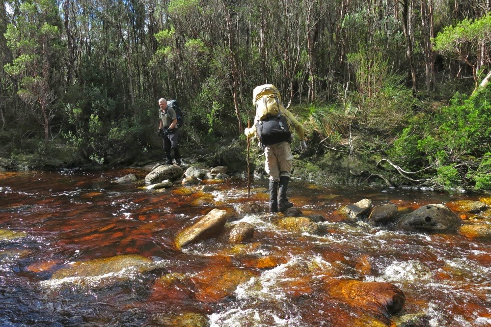
It took us four hours from the tent to the summit. We had time there to indulge in photos and food before we began our descent, but even then, we didn’t waste too much time. Our goal was won, but our job was not yet done. This was to be a big day. Luckily, the bum slide down the mountain was very quick: a mere two hours of pretty good fun, which meant we could relax a tiny bit to eat lunch and pack up our tents before the next stint of climbing back up to the Darwin ridgeline and dropping way, way down to the cars at the start, a trip that would take us 3 hours plus a couple of stops. The river had flooded a bit overnight, so some time was lost sorting out the best crossing point. I just wanted to keep my camera and sleeping bag dry (translated: I didn’t want to fall in) and was prepared to get my feet very wet in order to prevent toppling in a misguided attempt to be fancy by trying keeping my shoes dry. My boots were sodden and made rude, slushing noises for the rest of the trip.
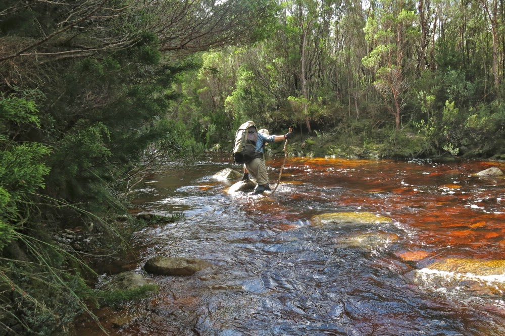
This is the way I, too, chose to cross: maximum water logging, minimum risk of falling. I didn’t want to leap across slimy rocks.

At last we got to the cars, made it to Queenstown to find all opportunities for real food had already closed, so settled for a meat pie to fortify us for the very long trip home. I drove to the “wild life highway”, and Terry did the rest. I tried to stay awake for his sake, but rather fear my talk sounded like that of an inebriated fool – slurred and not terribly sensible. I was aware of dropping off mid sentence at times, possibly with increasing frequency as the time snuck over the midnight barrier. We pulled in at something near 1 a.m. The dinner Bruce had made, hoping for an earlier arrival, smelled good. I don’t often have midnight feasts, but succumbed this time.

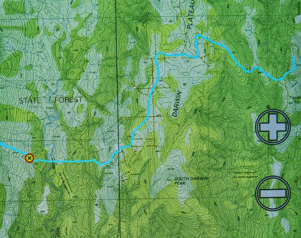
This is our route from the car to the tent site (and return later the next day


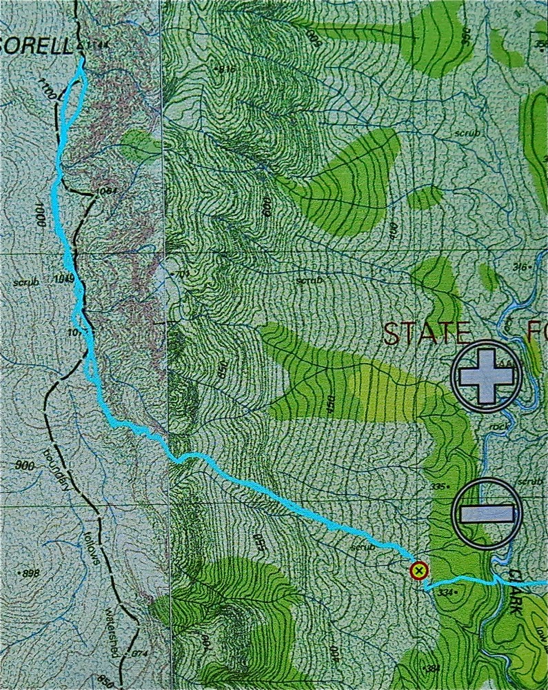
And this is our route from the tent site (waypoint) to the summit return. You will note that the contour lines are so close together they just make a brown smudge on the map.
Track data: All up, just on Sunday, we walked 17.8 kms, and climbed (and dropped) 824 ms + 467 ms. This yields a total of 30.7 km equivalents for the day.

 

Manfred 2014 Dec

Mt Manfred 2014 Dec


My first close-up sighting of Mt Manfred was on a trip to climb Mt Hugel 2013.
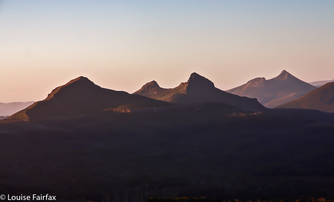
Mt Manfred was one of those shapely mountains that I had seen and noticed right back on my first ever venture into Tasmanian bushwalking, which I had done as a Sydney University student back in 1975. In that year, Bruce and I walked the Overland Trail in an adventure that would shape the rest of our lives. We had done bushwalking before, but this introduced us to a whole new spectrum. We immediately began plotting to move down here one day, and long-distance walking become part of our married existence.


One of the mountains on the horizon was Mt Manfred. How could you miss it? It has such an interesting shape. I never dreamt in my wildest imagination that I would one day climb it, and easily. But in December 2014, it was “merely” one of the mountains on the way to the remote Tramontane. We climbed it one afternoon after lunch on our way to the Murchison River. We had gone past Mt Byron, and over Mt Cuvier (where we slept the first night), and now here we were, climbing an icon. For the full story, see my blog on Mt Tramontane
http://www.natureloverswalks.com/tramontane-cuvier-manfred/


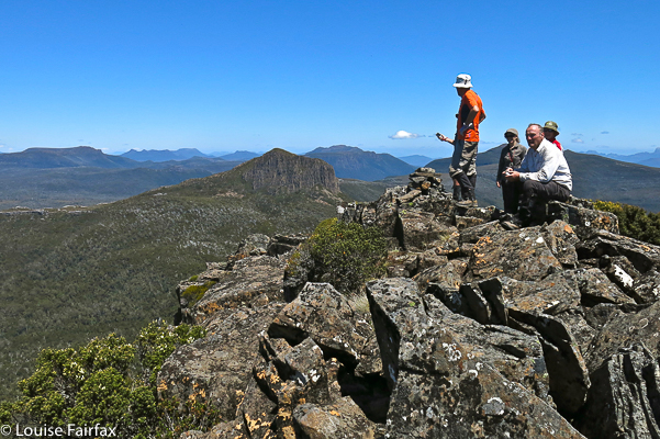
I have put this in to show you the summit view, but really, midday views do not interest me. Someone else took this photo. Manfred is better looked at than looked from. I am, of course, very glad I climbed it, and would love to sleep on its shelf again.