Recondite Knob Mar 2014.
My husband cleared himself from work for the day so I could have a(n early) birthday wish. I chose for us to spend the day climbing Recondite Knob. Web reports had it as being a very long day indeed, so this time I warned the dogs we’d be quite late. Probably because I’d taken that precaution, we were back in time for dinner, surprising them by being early for a change.
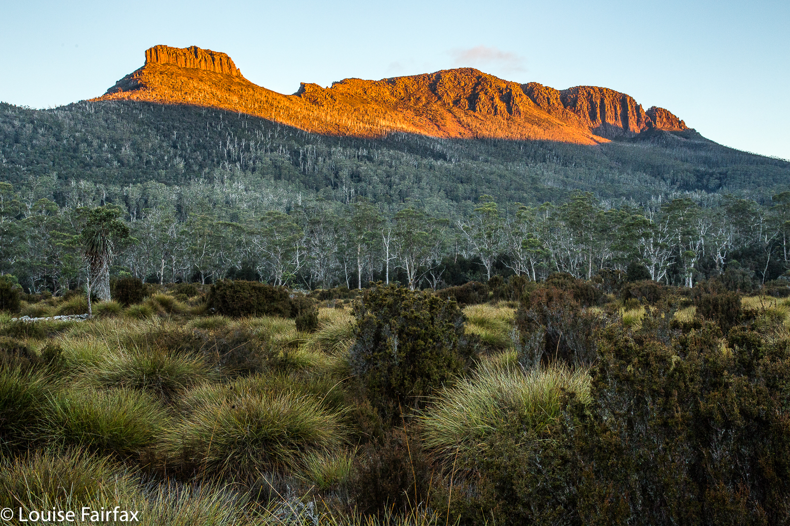
 This reticent, elusive Knob sat there quietly, just a brown ellipse on the map, one of many nameless shapes, until Bill Wilkinson, editor of the Abels book, did his research and found that it satisfied the requirements to be what he called an Abel (inter alia, a peak over 1100 metres) and in 1994 presented a submission for his chosen name to the Nomenclature Board. He dubbed her Recondite because of her property of being something that only those with specialised knowledge would know about – a mountain for the cognoscenti. And indeed, only those in the know would be aware she existed or desire to go out that way to climb her. She is still unnamed on maps, and her paucity of visitors is indicated by the very few names in the log book at the start of the track. We were the second visitors for the year, and it is now pushing April. Even the wombats seemed surprised to find humans in their otherwise undisturbed territory.
 Drink spot.
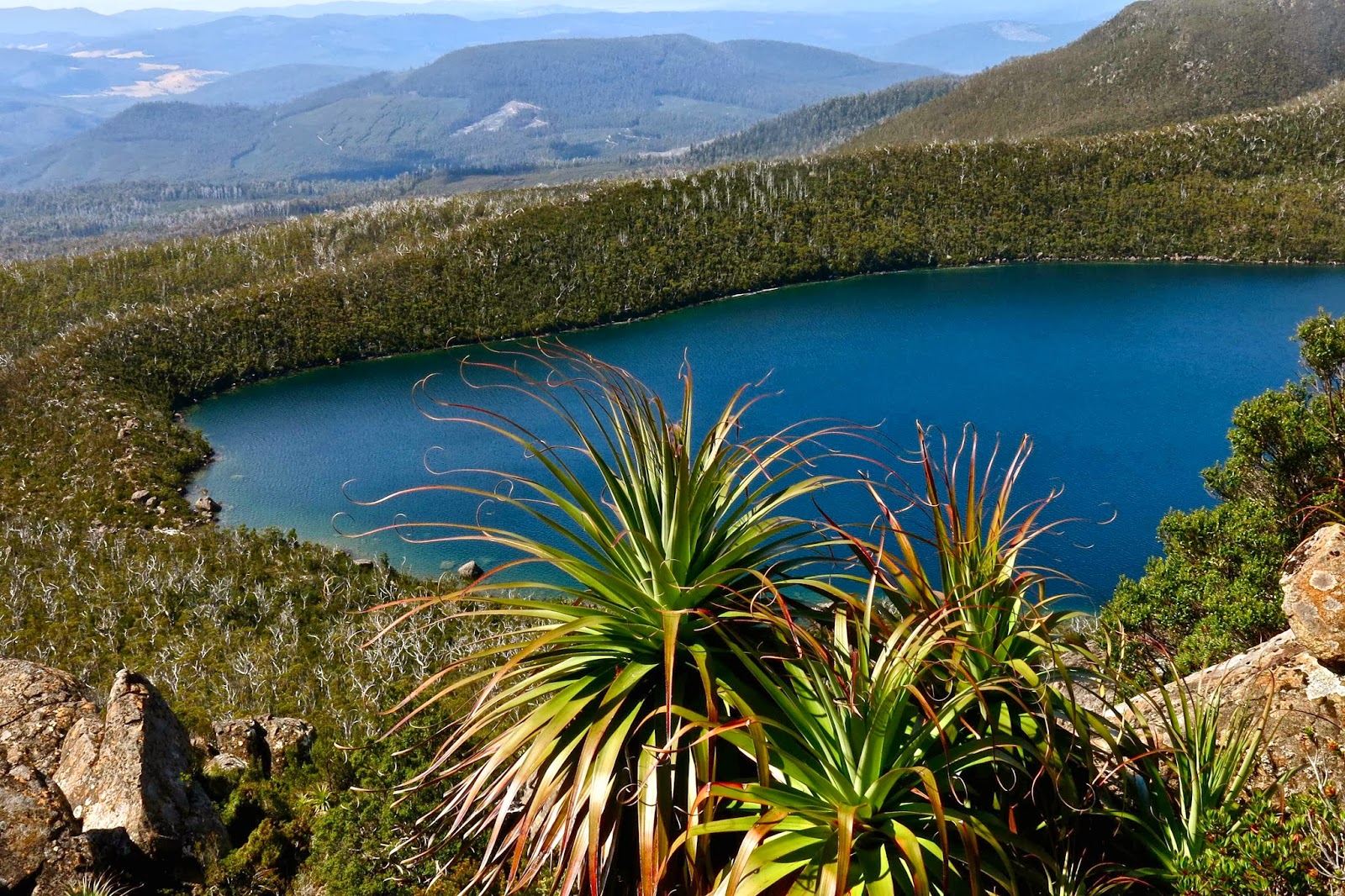
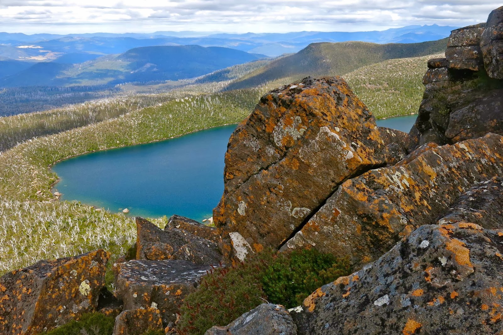
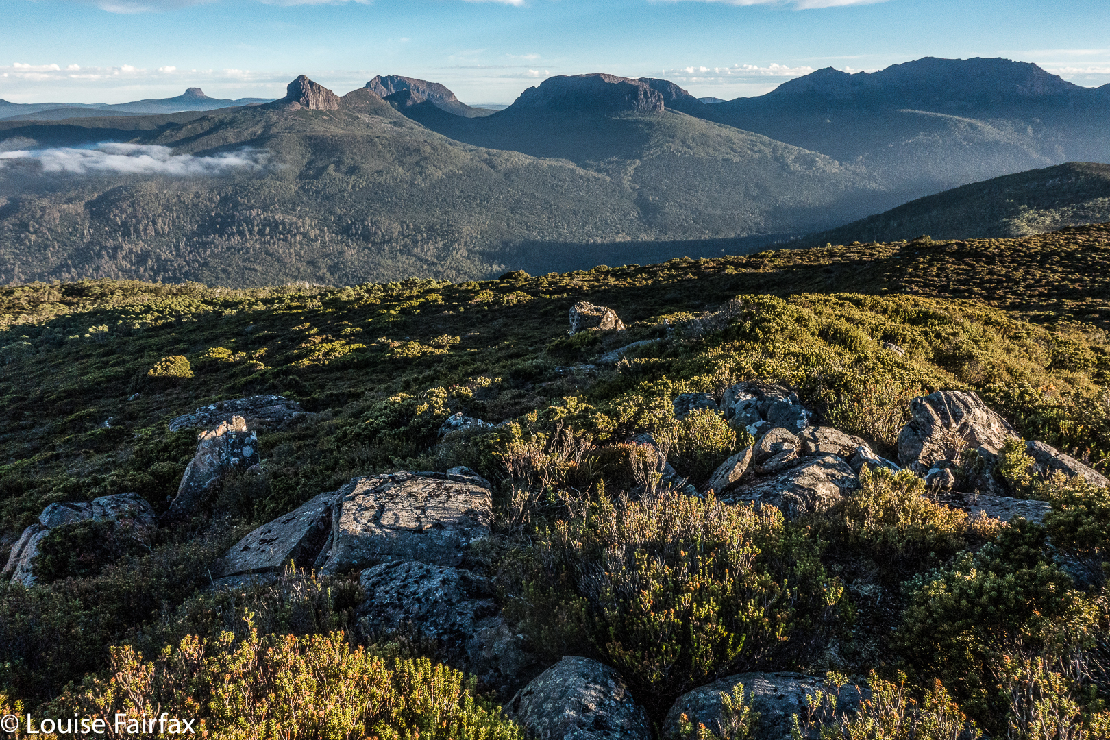
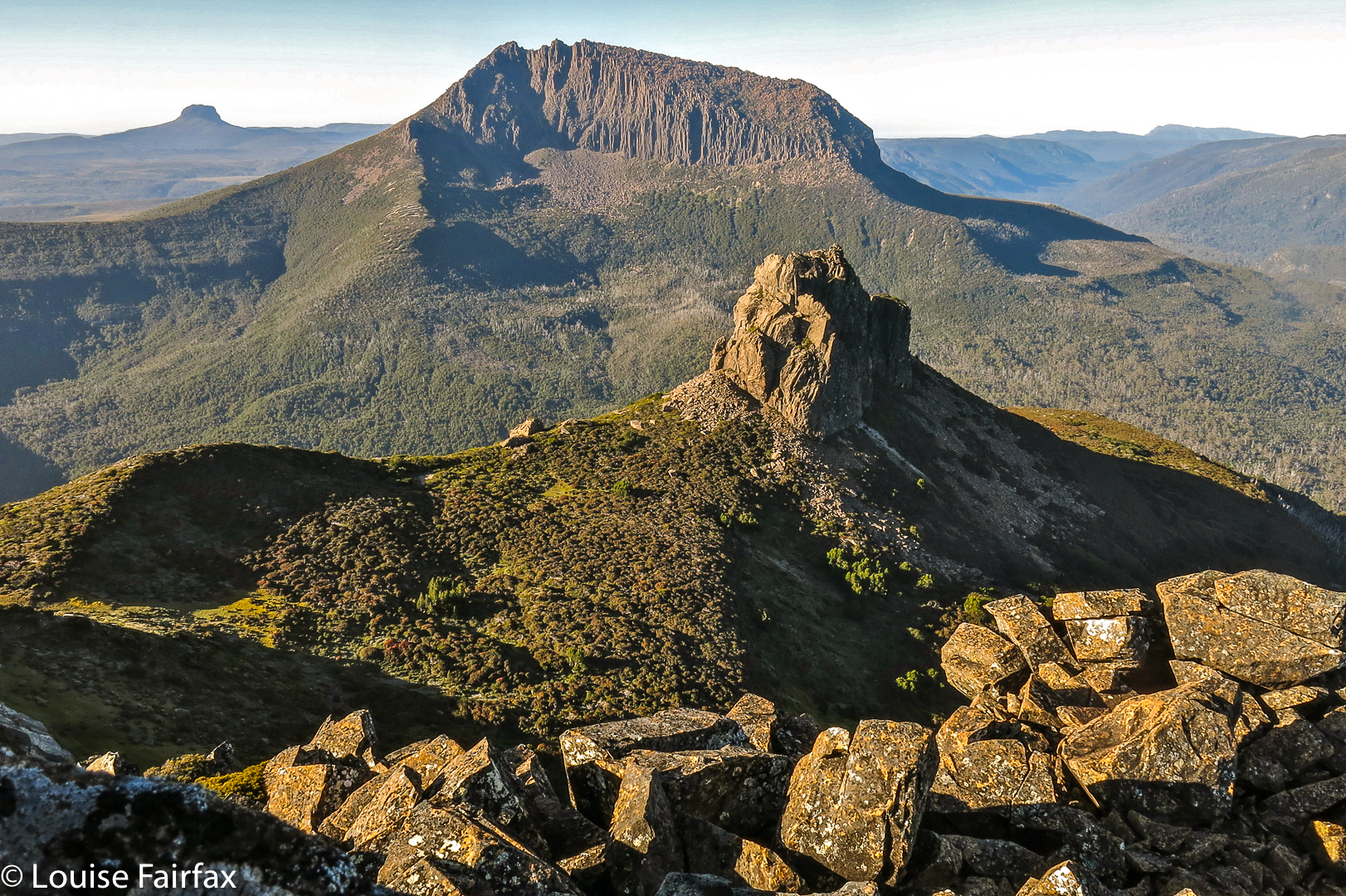
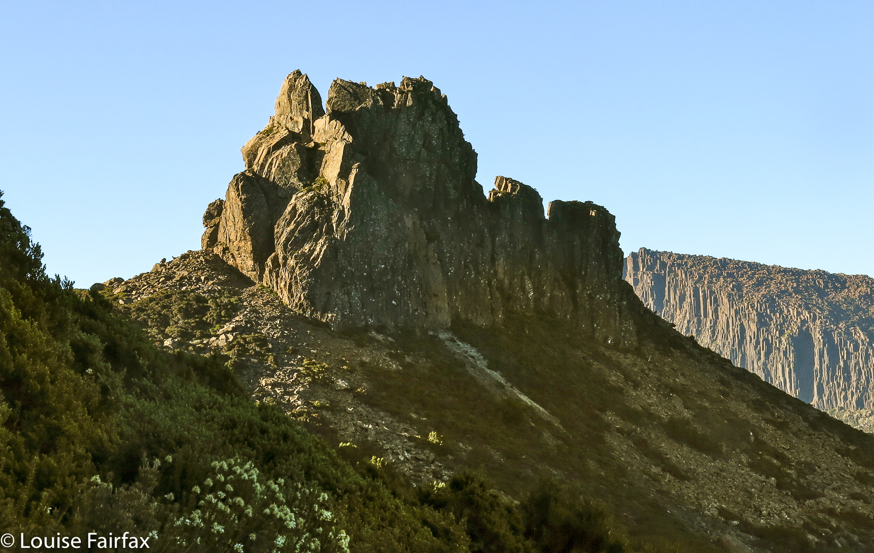
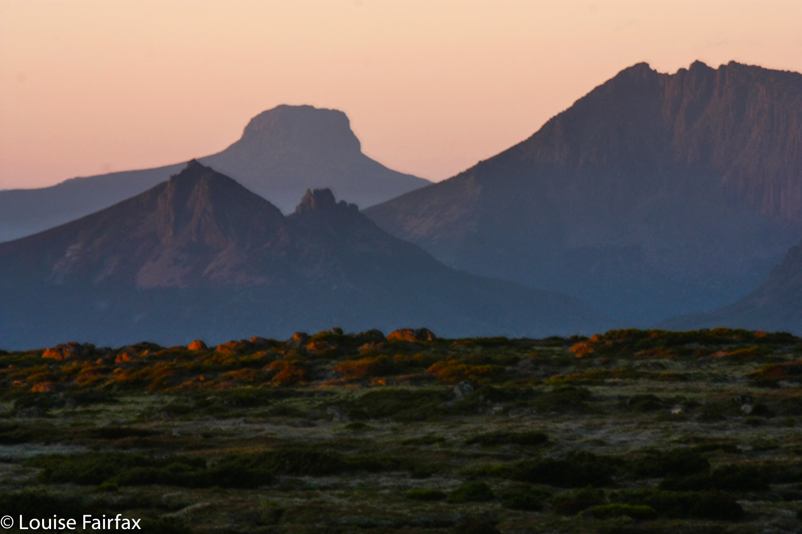
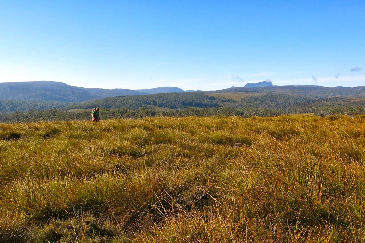
We delighted in the sense of space and room as we wandered freely along the broad ridge tops with their views to many mountains of the Cradle Valley, and in the totally different perspective of Cradle and Barn gained from this new angle. We could see as far as Pelion West to the south, to Murchison and Farrell more to the west, and to St Valentines Peak in a more northerly direction – and that’s despite its being a pretty murky day. Not a sound was to be heard. It felt like we were the only people on earth today, increasing the sense of wilderness.
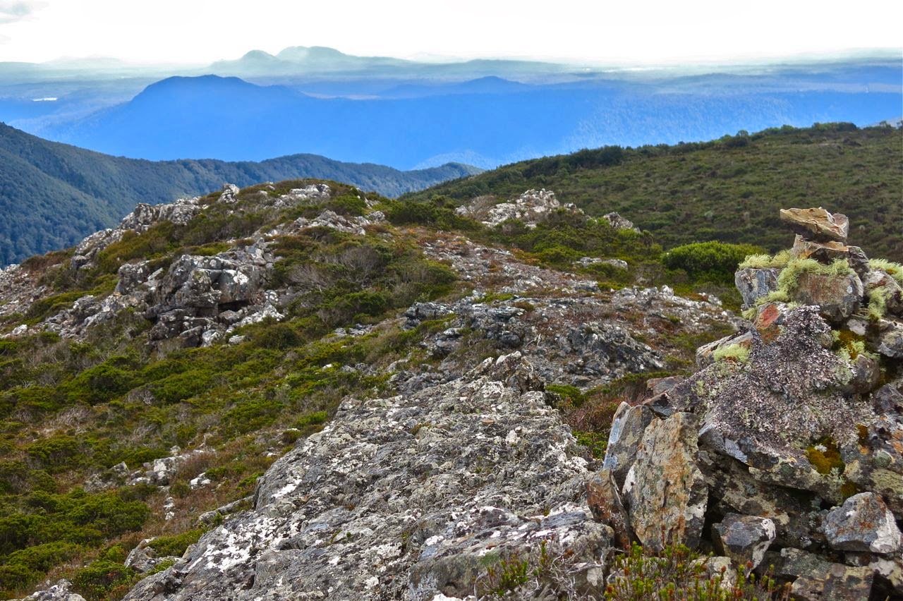
The summit – most appealing!
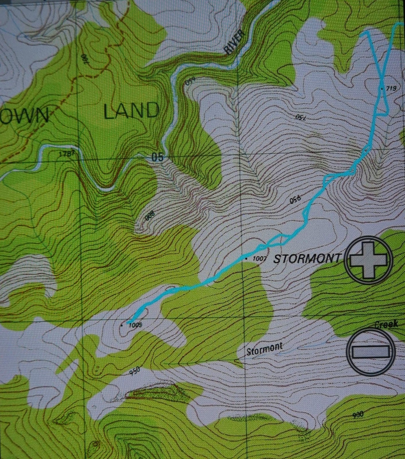
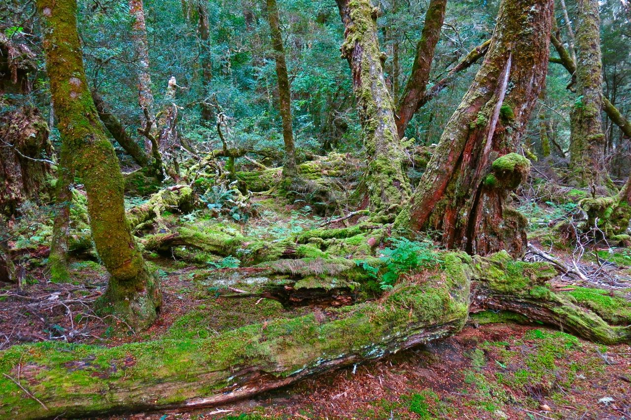
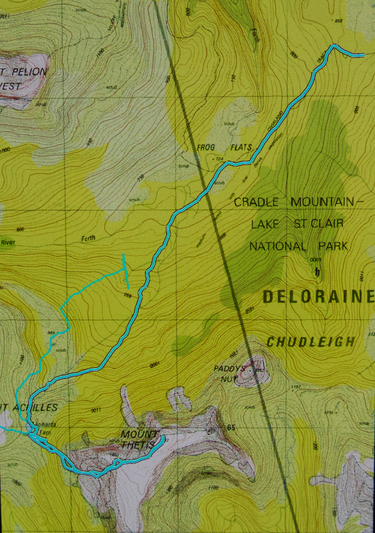
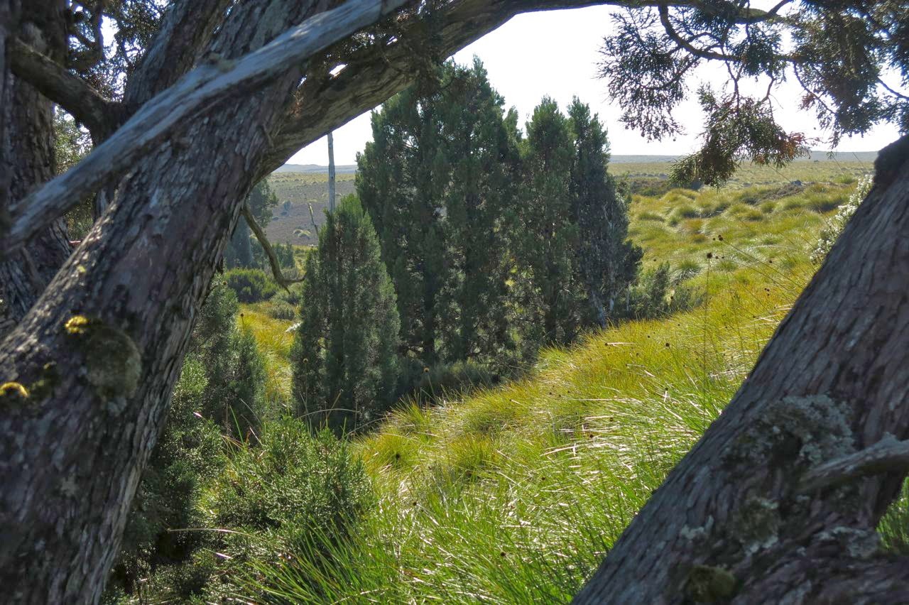
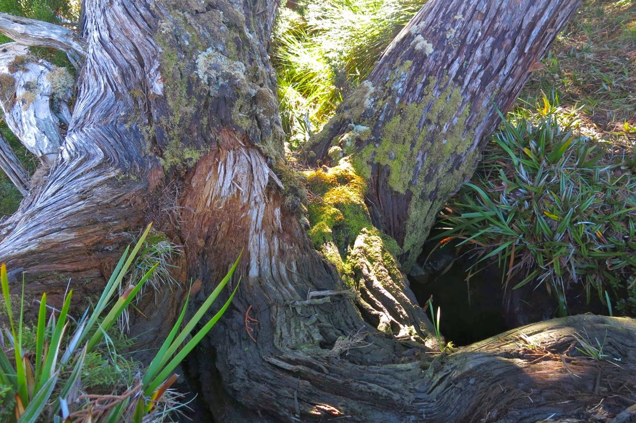
Our route began just out the back of Cradle Lodge where blue signs at the bottom of the dam point you to Speelers Track and Reynolds Falls (and more). At this stage you are on board walk, and are on the delightful King Billy Track which leads through an enchanted forest of ancient myrtles and King Billy Pines, with thick moss and lichen adorning the trees.
After a short distance (and after the narrow track crosses a small road, part of the lodge) the track we needed to follow hives off from the main King Billy track, and points still to Speelers Track, staying closer to the river than the King Billy one. It is the next sign that causes confusion among most bloggers (perhaps 10-12 minutes after leaving the lodge). One piece of information we read said to turn right here. The map agreed, but indicated we should turn left pretty quickly after that to connect with an E-W route. This route never appeared so we backtracked to the junction and this time noticed that three directions were possible, not just two as seemed the case at first. The middle one, which we took, was not represented on the map, but was going roughly where I wanted it to go, so we followed it. After 600 metres, it joined the E-W route that I had been trying for earlier. After this, it was plain sailing for the rest of the day.
I never tire of this forest.
We had to leave the magic forest, but climbed onto golden moorland with views described earlier and an exhilarating vastness. We wandered wild and free across the tops. 35 minutes after leaving the lodge, this track intersected very clearly with a N-S old mining exploration route, clearly visible on map and ground. Walking along this was very easy, but after 7 minutes, it dumped us into the button grass, after which we had to fend for ourselves for many kilometres.
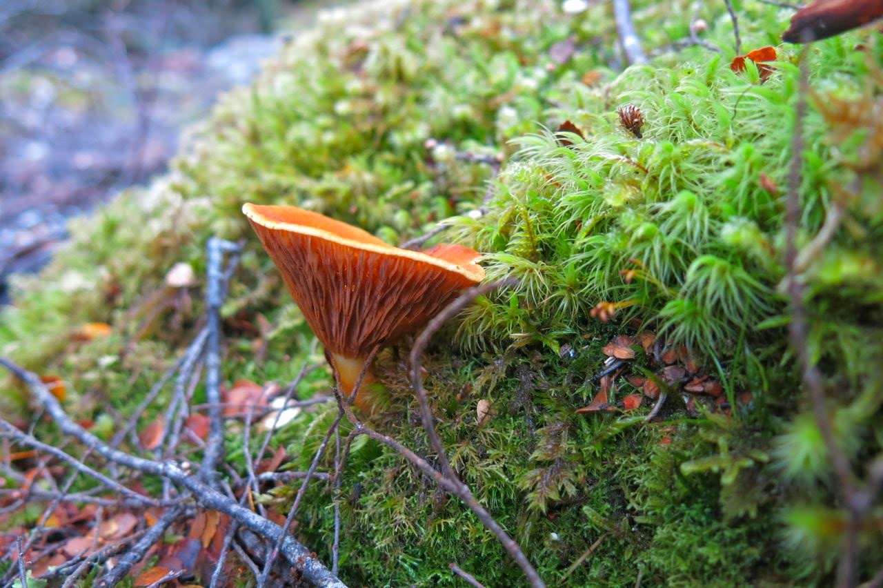
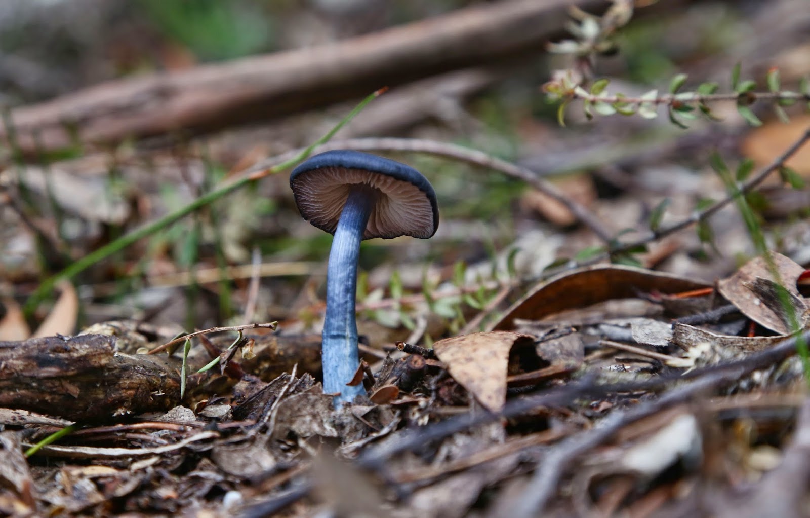
An obliging fungus colours the forest (Austropaxillus muelleri)
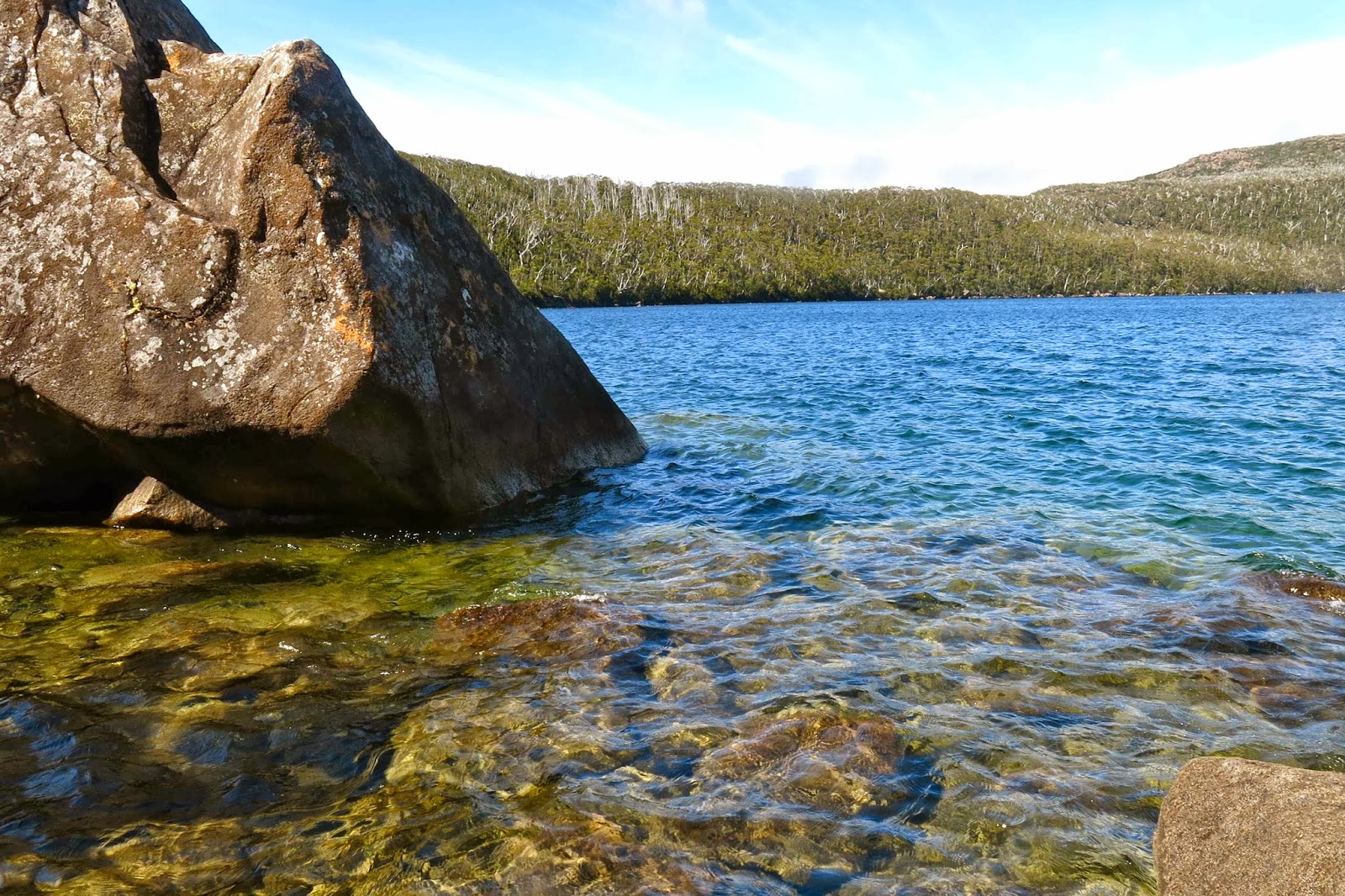
My husband doesn’t cope very well with button grass bogs, so I made no attempt to follow the remains of the route and chose instead a path that minimised button grass mounds and ditches and maximised lines of pineapple grass and low coral vegetation. After nearly an hour from the lodge, I headed us down to a flowing creek with pencil pine grove, perfect place for a drink of cool mountain water and a muesli bar (where my blue path intersects with the creek).
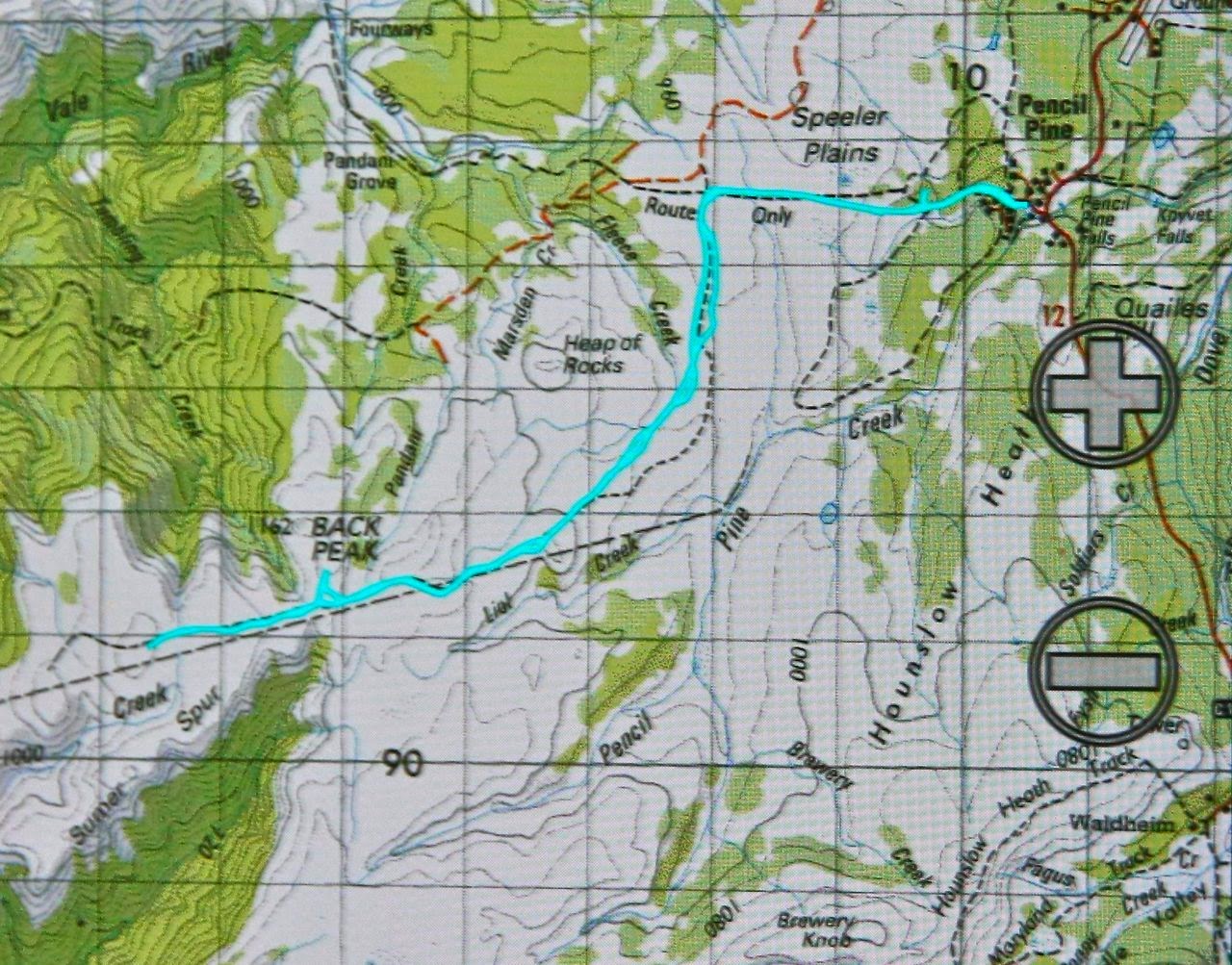
The next kilometre was the slowest, as my husband struggled with the combination of gaining height and long, flourishing button grass with deep, hidden channels beneath. (He has Parkinson’s disease, so these conditions are particularly bad for him). After we passed the one contour knob to the left of our line, things picked up for him, as the vegetation changed, and meanwhile the old route reappeared. It was especially easy travelling once we’d climbed around the base of Back Peak. 2 hrs 30 walking time after leaving the lodge we were on the summit and eating our lunch, enjoying the plentiful mountains in our vista, even if the view was grey, hazy and unclear, with flat lighting.
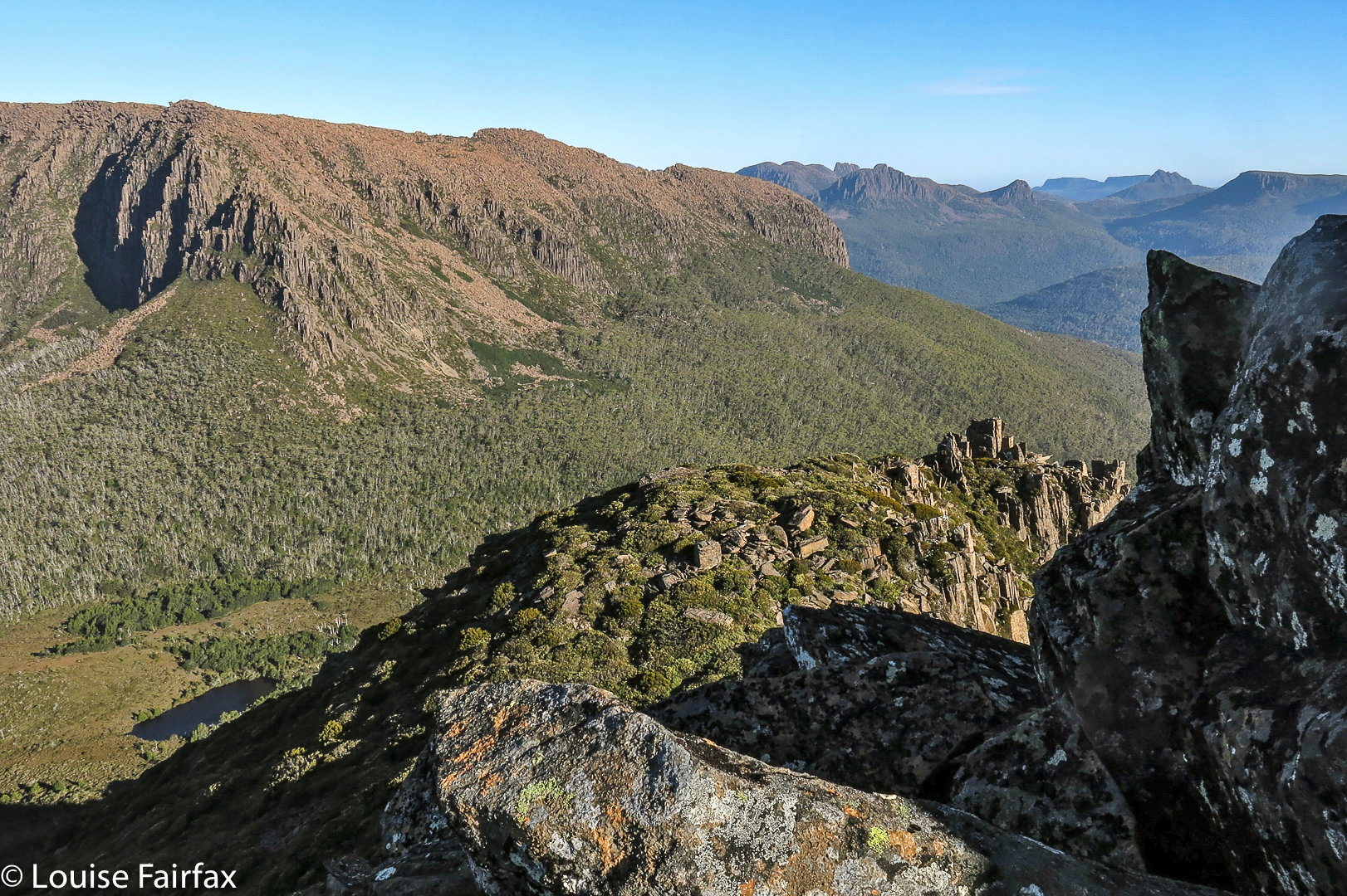
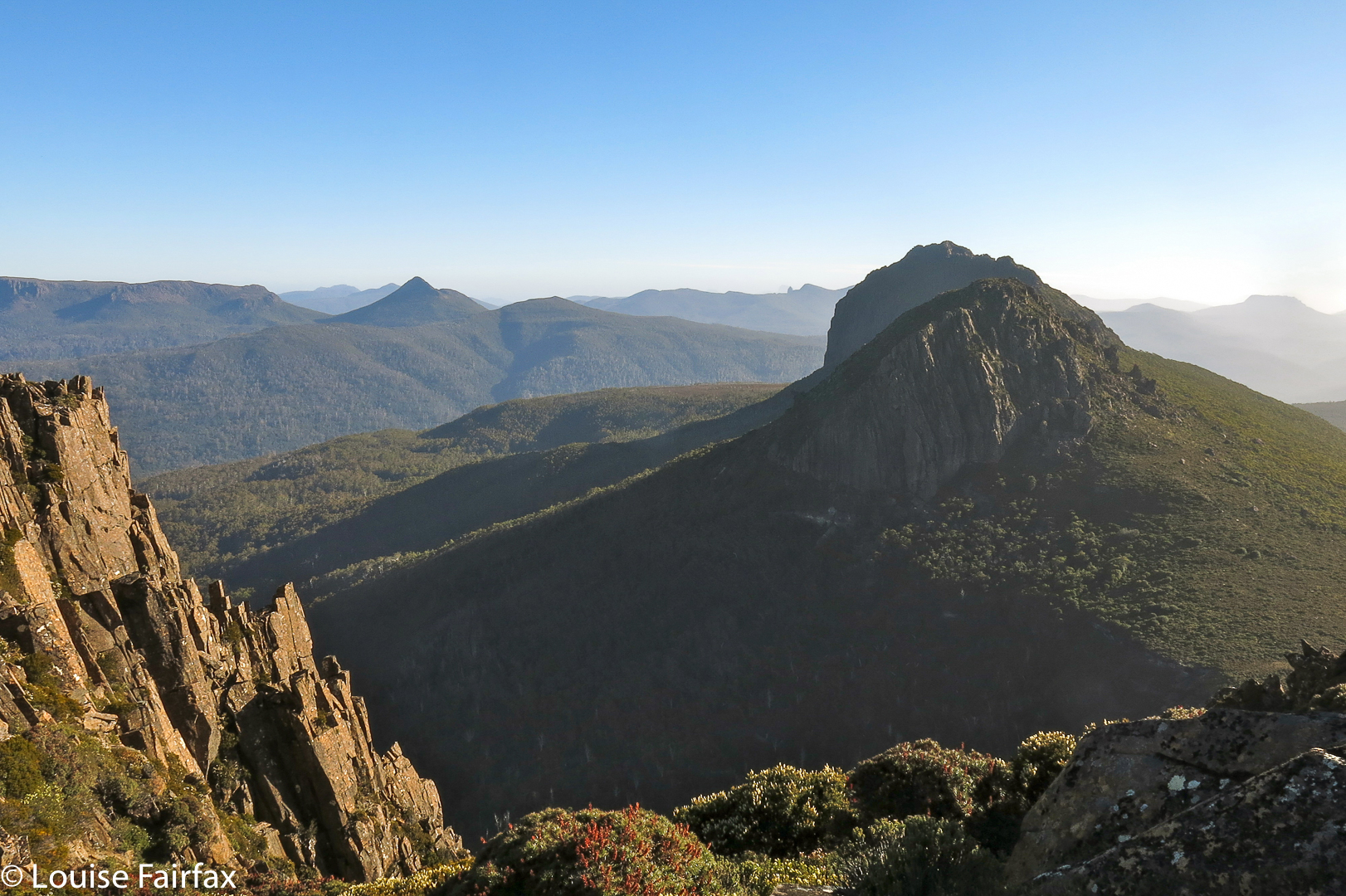
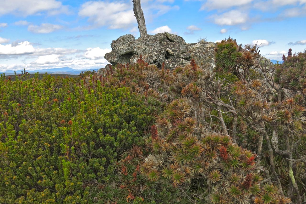
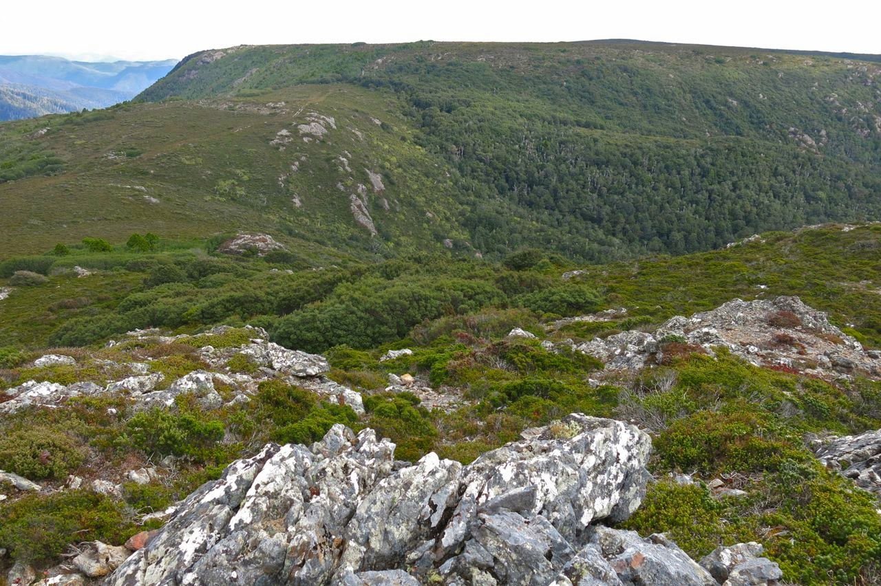 Looking towards Recondite from Back Peak, but what you see here is not quite Recondite – it’s hiding behind this lump. You go up what you can see here, and then down and then up again and you’re there.
I was a bit worried about the weather, and the fact that the return journey would perhaps take longer, both due to my husband’s fatigue and the fact that I wanted to go up Back Peak. I hurried us away from this spot, promising my husband a rest while I climbed the peak. It was a fun little climb, but took me only a few minutes in each direction, so the promised rest was rather short. I called out from the top to make contact, and woke the poor guy up.
Summit cairn, Back Peak
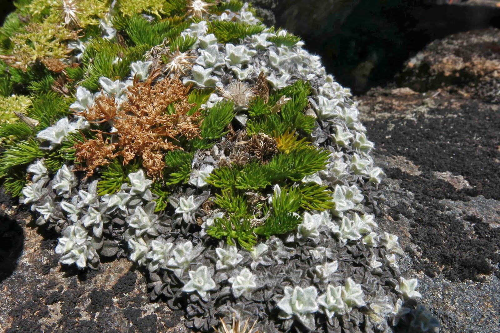
Nonetheless, he went really well on the downhill journey, only faltering when we had a few rises to do. The good progress meant we could relax a bit more at the lovely drinking spot of the way out and just sit back in the grass, drink, snack on treats and listen to the sounds of nature, admiring little things like the lichen on the pines and the different shades of green.
Austropaxillus muelleri
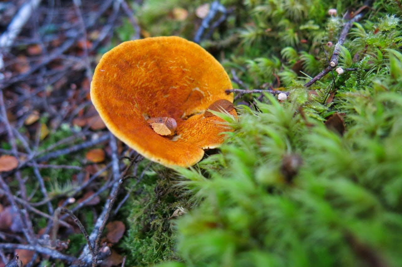
What a perfect ending to that walk the last bit of forest is with its cool, refreshing, intense greenness. I even found some wonderful fungi to thrill me. And then it was off to ETC for a delicious afternoon tea, and home to Launceston to surprise the dogs with unusual punctuality for dinner.
(Warning, if you are planning to do this mountain, consult the Abels book and google the other bloggers who report on this peak to get an overall view of times. I was in a fast mood, part of my own expression of freedom and independence, and my times are probably not what you would fancy for yourself. They suggest one of many possibilities.)


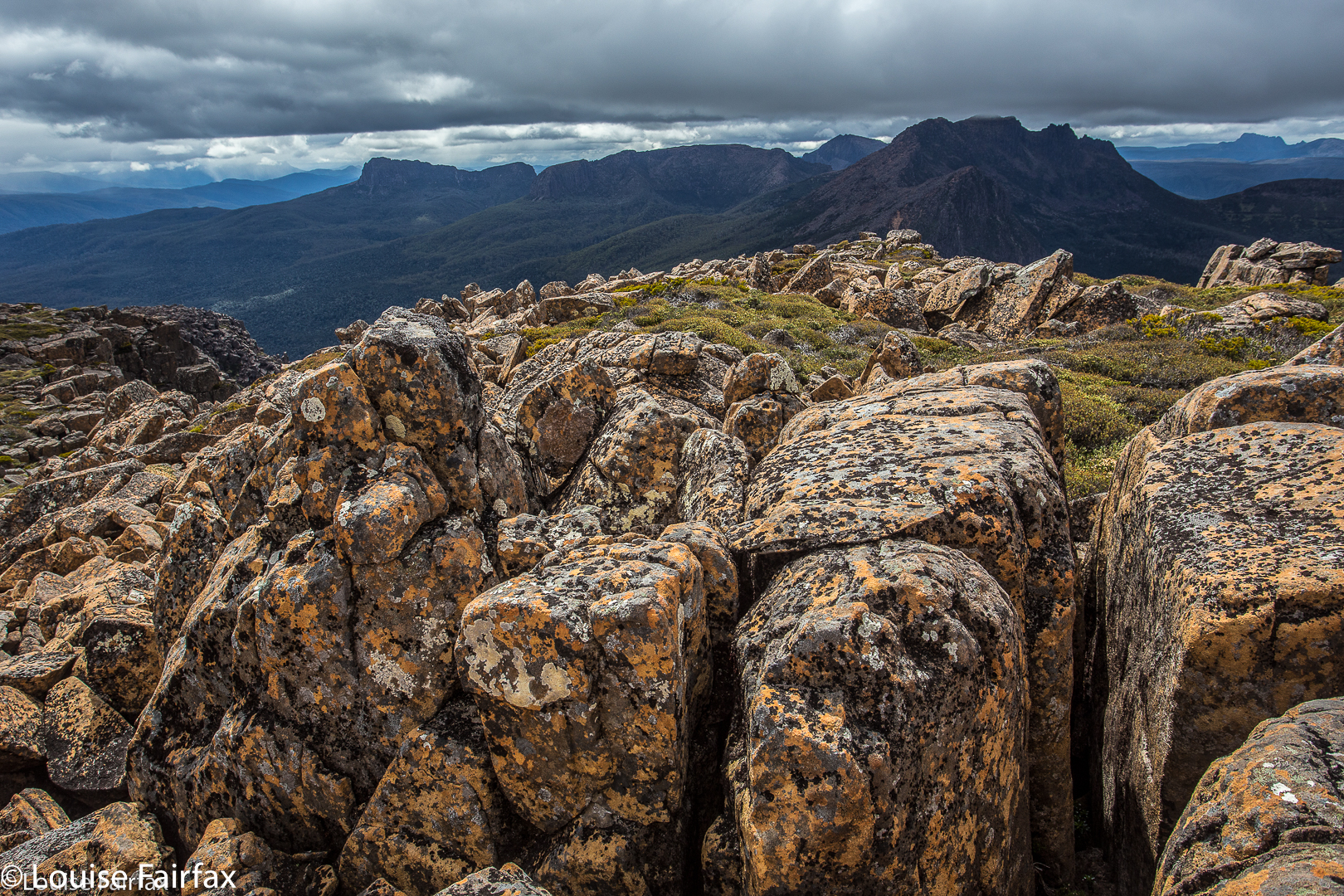
 View from ‘fake summit 2
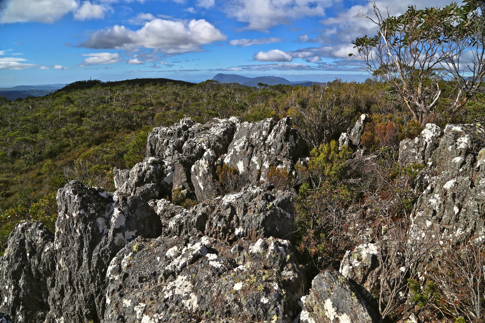
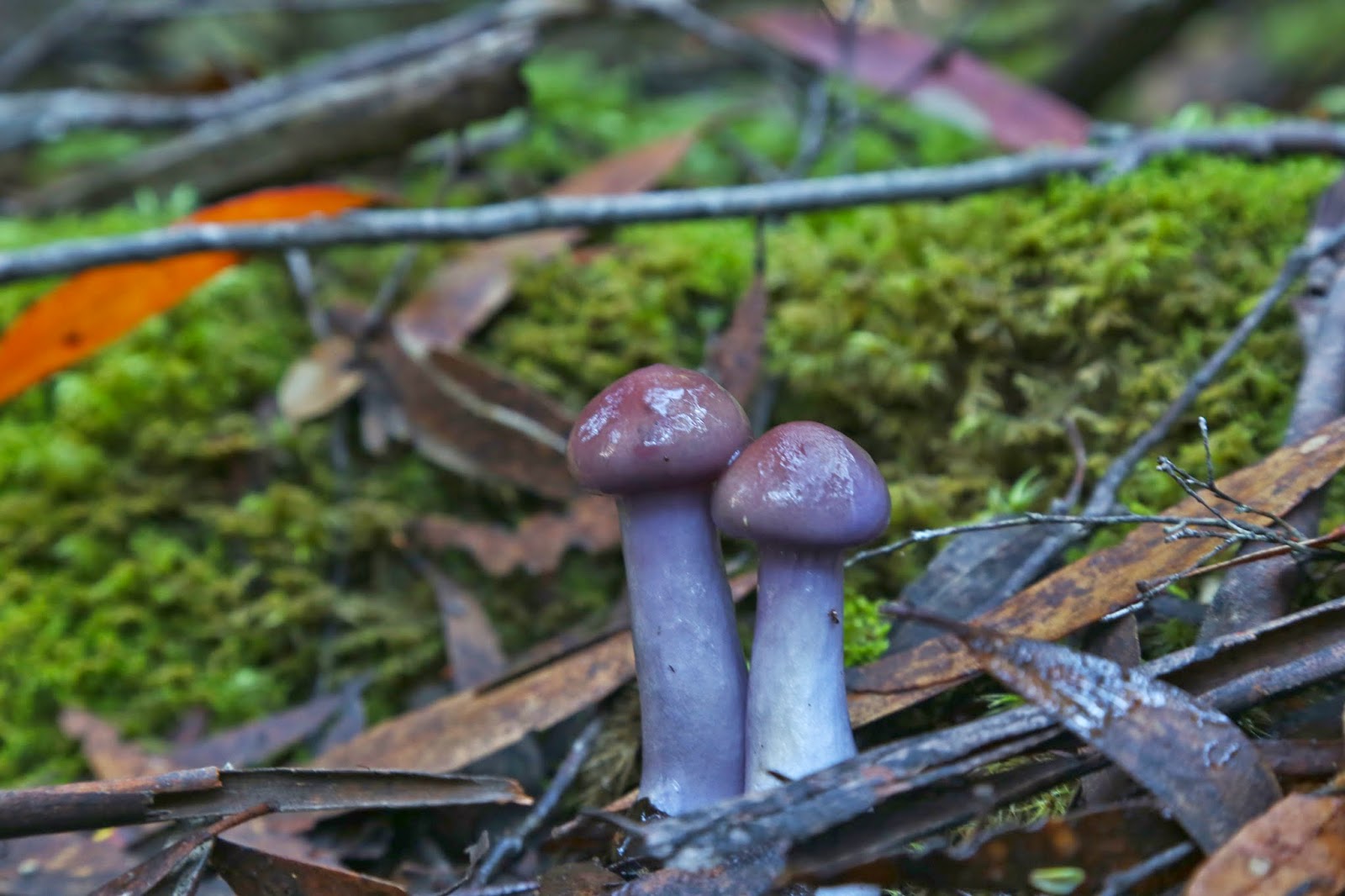
 laccaria sp