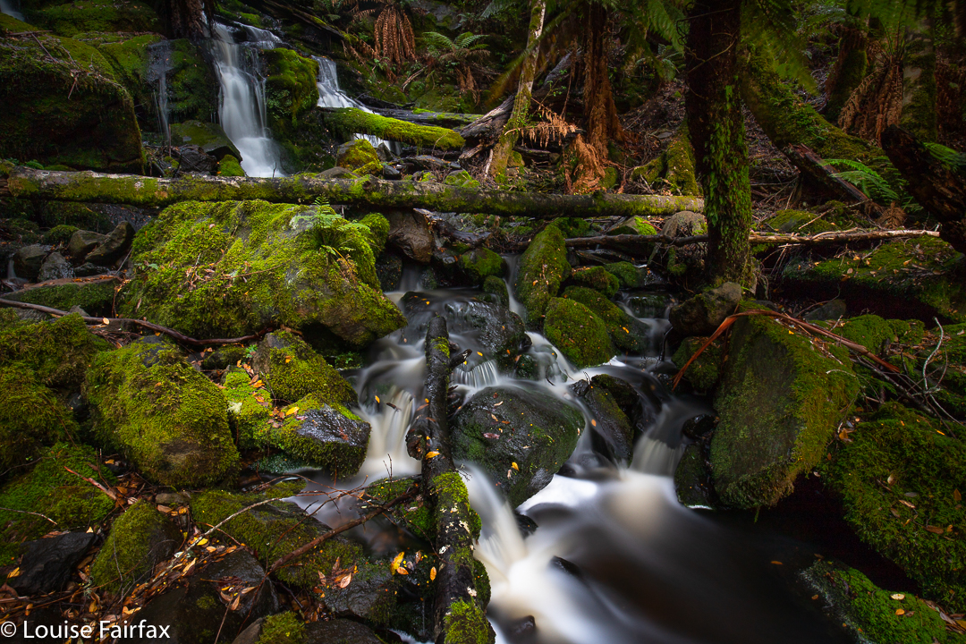
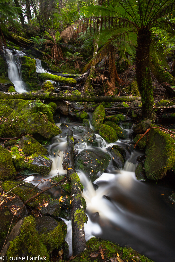
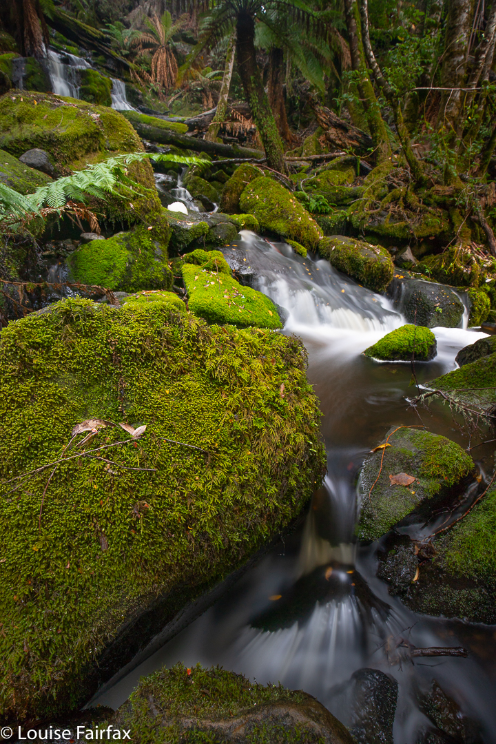
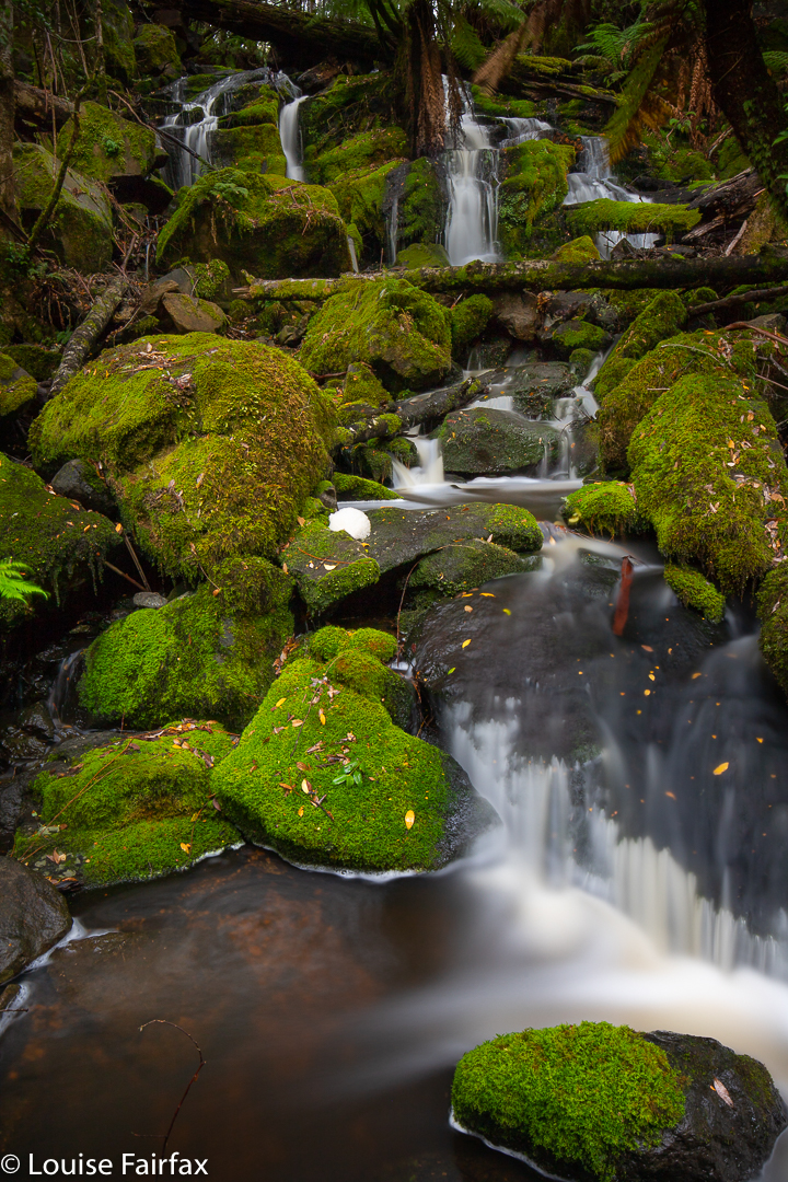
Badgers Range 2020 July

I love traversing Ranges, and the Badgers Range of North Tasmania is no exception. In fact, it has been one of the best. We even had to vote on whether or not it was better, or not quite as good as, the famous Striding Edge in the Lake District of England.
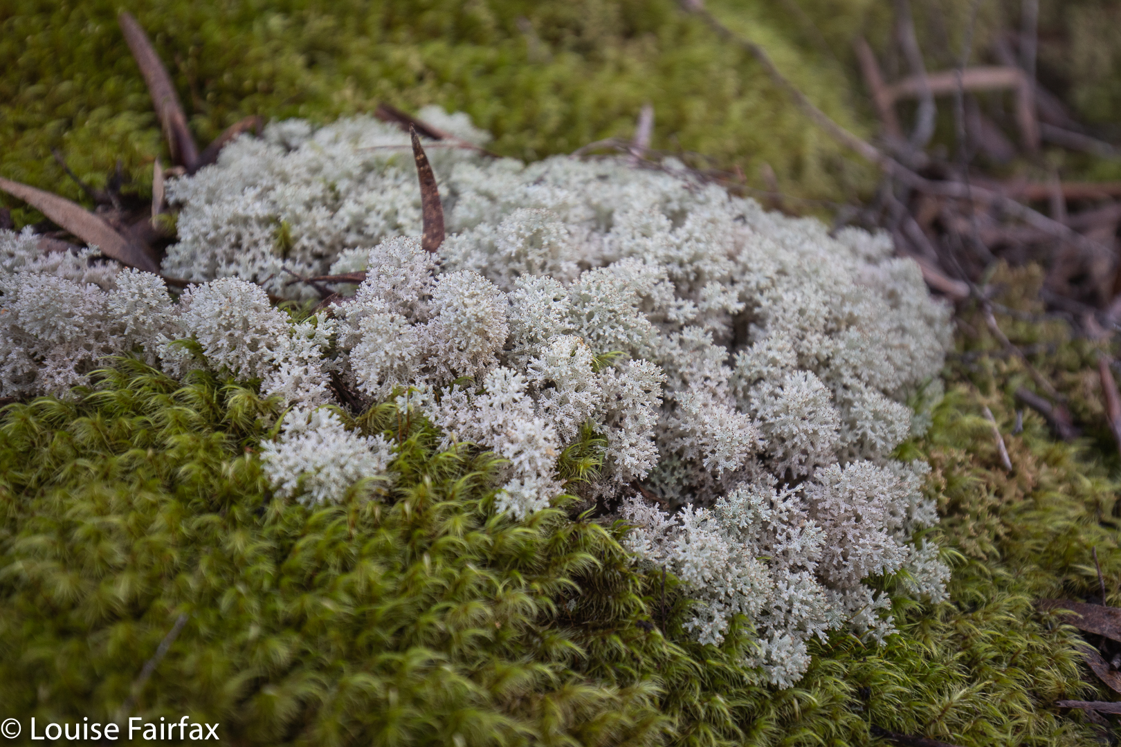
Coral lichen Cladia retipora
Maiares Lookout

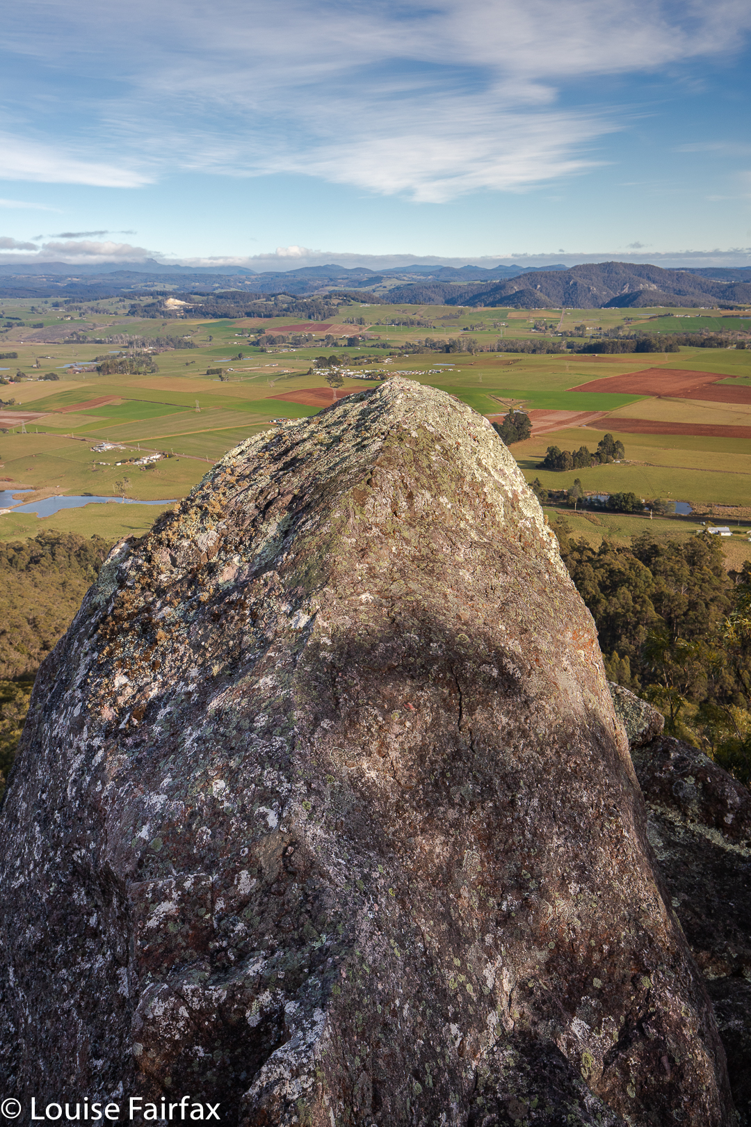
I went with my “Wednesday Friends” (yes, only friends on a Wednesday, ha). We met at Sheffield, and drove a few kms along the C150 towards Kimberleys Lookout, where we deposited the passengers, while the drivers proceeded to the northern end of our route, dumped cars and returned to the others in my car. Now the fun could begin. We climbed the steep and delightfully narrow, natural “path” (thank goodness PWS has not been in here to make it a monster of modern scared tourism). There were lots of options, written on quaint hand-written signs of wood. It was fun. We chose the Moss Garden route to Kimberleys Lookout via Maiares Lookout. This day, we also visited Charlies Lookout, Christinas Lookout, Tims Lookout and another nameless one that was one of the best. Maybe they’d run out of people to name. The views didn’t suffer for this fact. There were so many brilliant lookouts I may have well forgotten the name of one (or more) of them. Only Kimberleys has a name on the map.
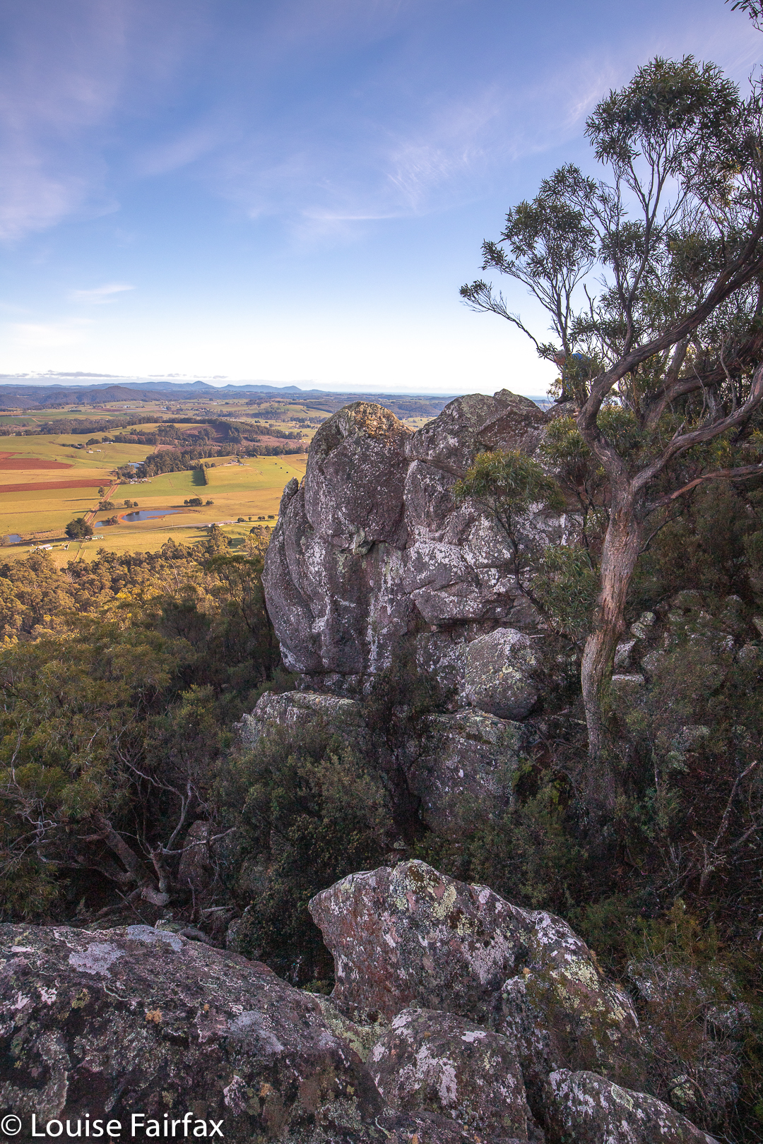
Lookout. Lost count of the names

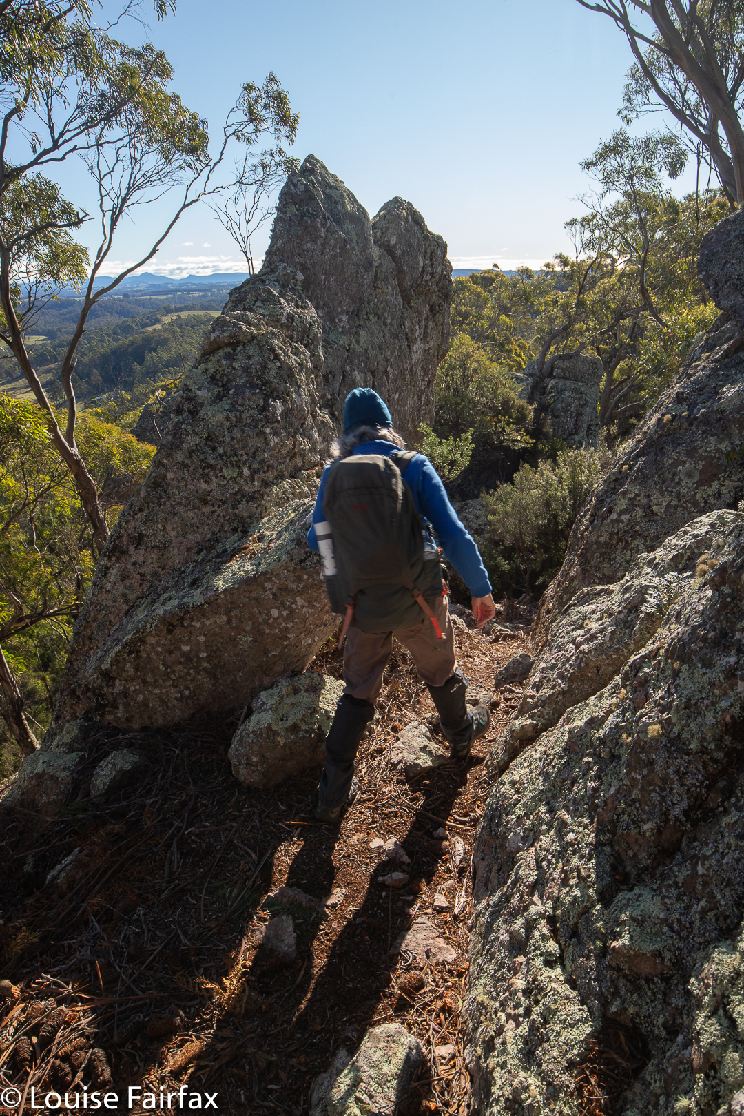
Once we were finished lookout out, and had gone down and then up to the nameless one, we went even more steeply down (quite a serious descent, this one) to a saddle before climbing just as steeply up the other side to the Badgers Range High Point, where we sat in the sun with monster views to enjoy our lunch. I also explored the labelled “speccy” view off to the east whilst waiting.
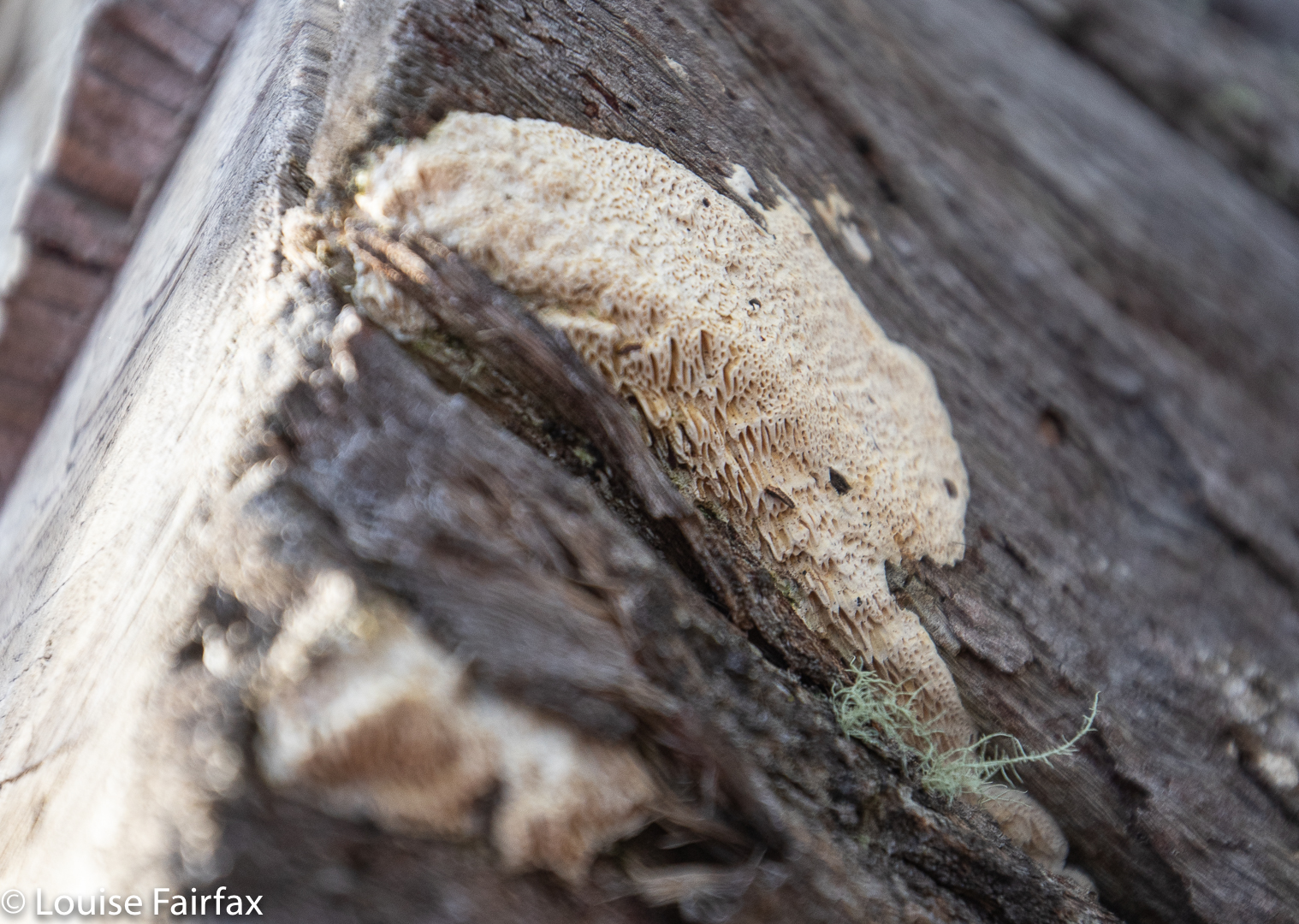
Fascinating resupinate fungus, showing the details of its structure.
Badgers Range

There followed another series of lumps and bumps and lookouts and rocky mounds to play on, each with a slightly different, but always enjoyable view.
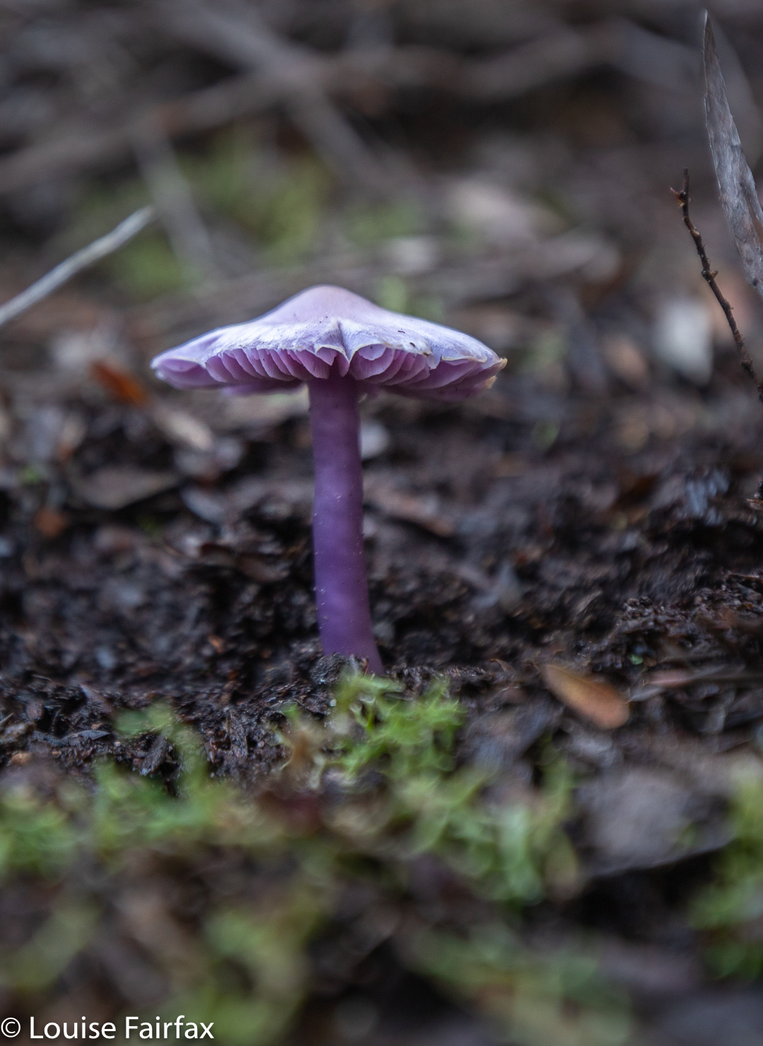
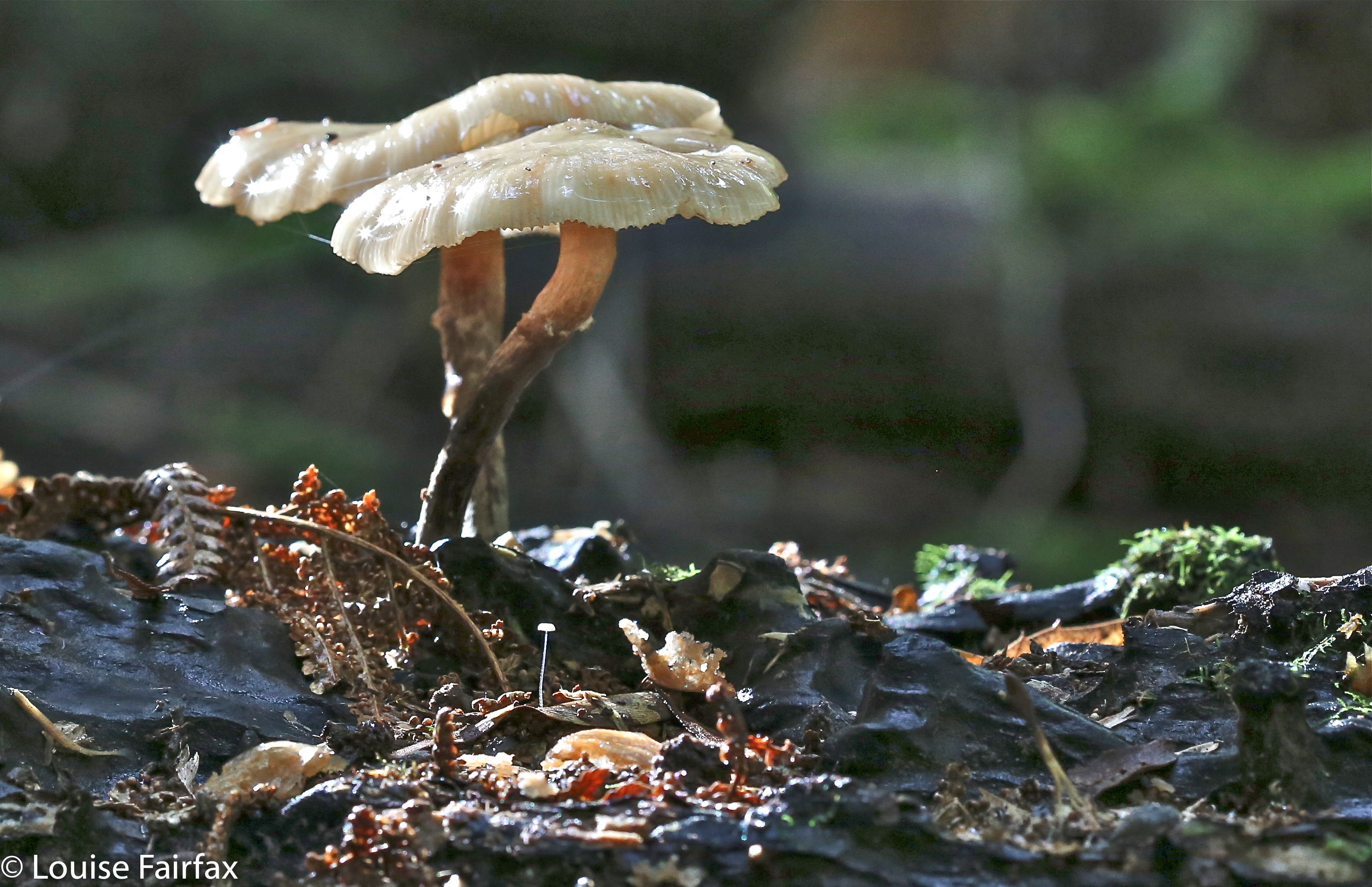
Hygrocybe lewelliniae

It was a fabulous walk, and there were even fungi for me to find (and pink and white Epacris blooms). Unfortunately, I didn’t have my macro lens with me, not actually expecting to see any fungi, so sorry about the reduced quality that comes of using a wide-angle, landscape lens on something so fine and delicate.
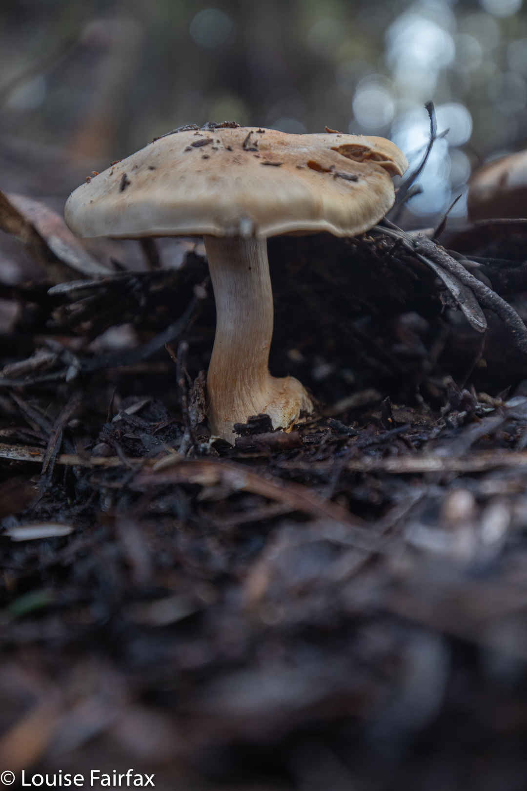
Cortinarius ‘buff with lilac gills’

We covered 9.14 kms of horizontal movement, with 700ms of climb, yielding 16 kilometre equivalents. If your situation doesn’t allow for a car shuffle (which will be my lot the next time I visit), then a lovely walk can still be done, going out and back, choosing your own turnaround point.
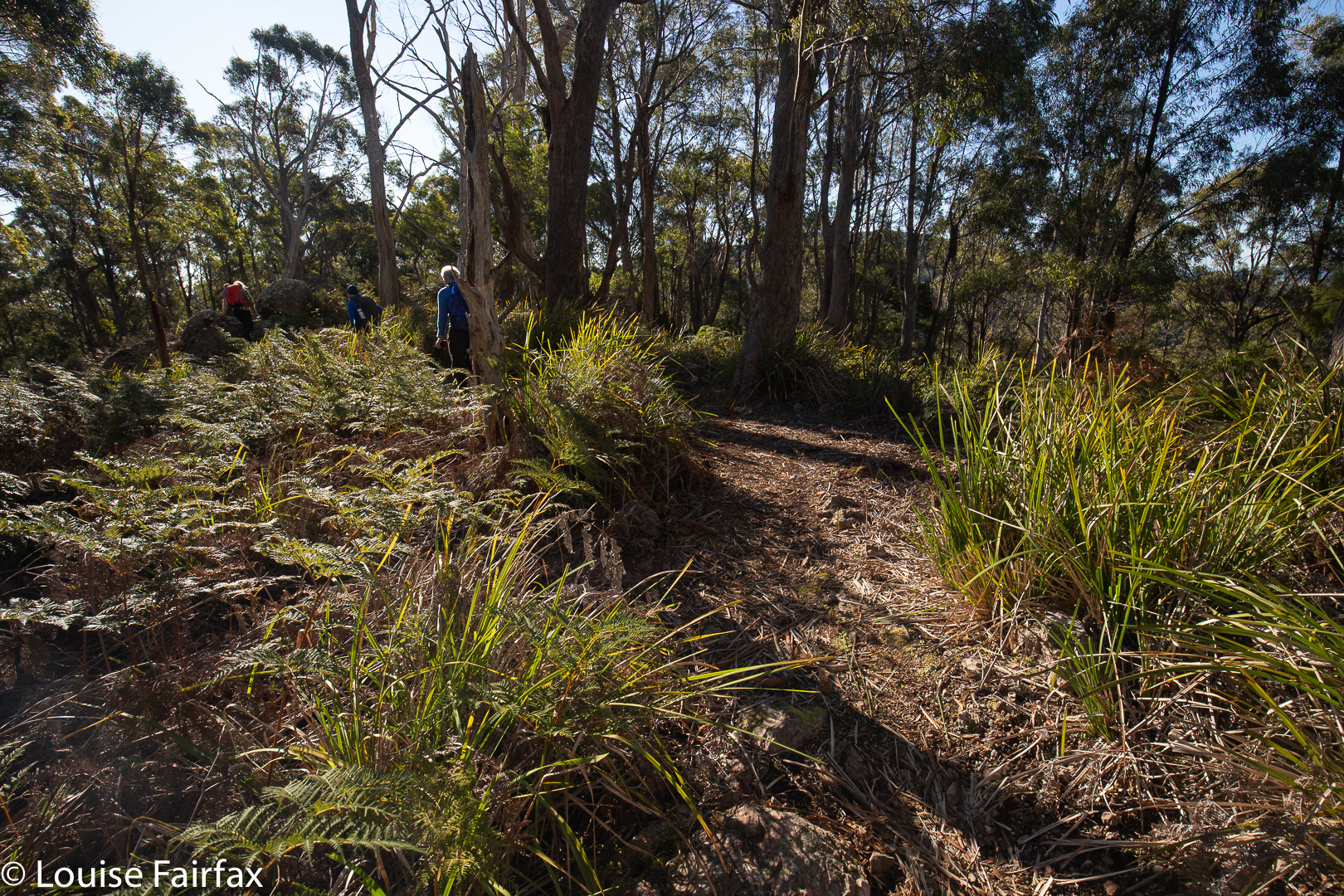
Fabulous light all day

Tonight I will download our route for you. Meanwhile, if you want to do it, just follow the ridge … . There are arrows on the trees, or tapes the whole way anyway, and there is always a pad or path.

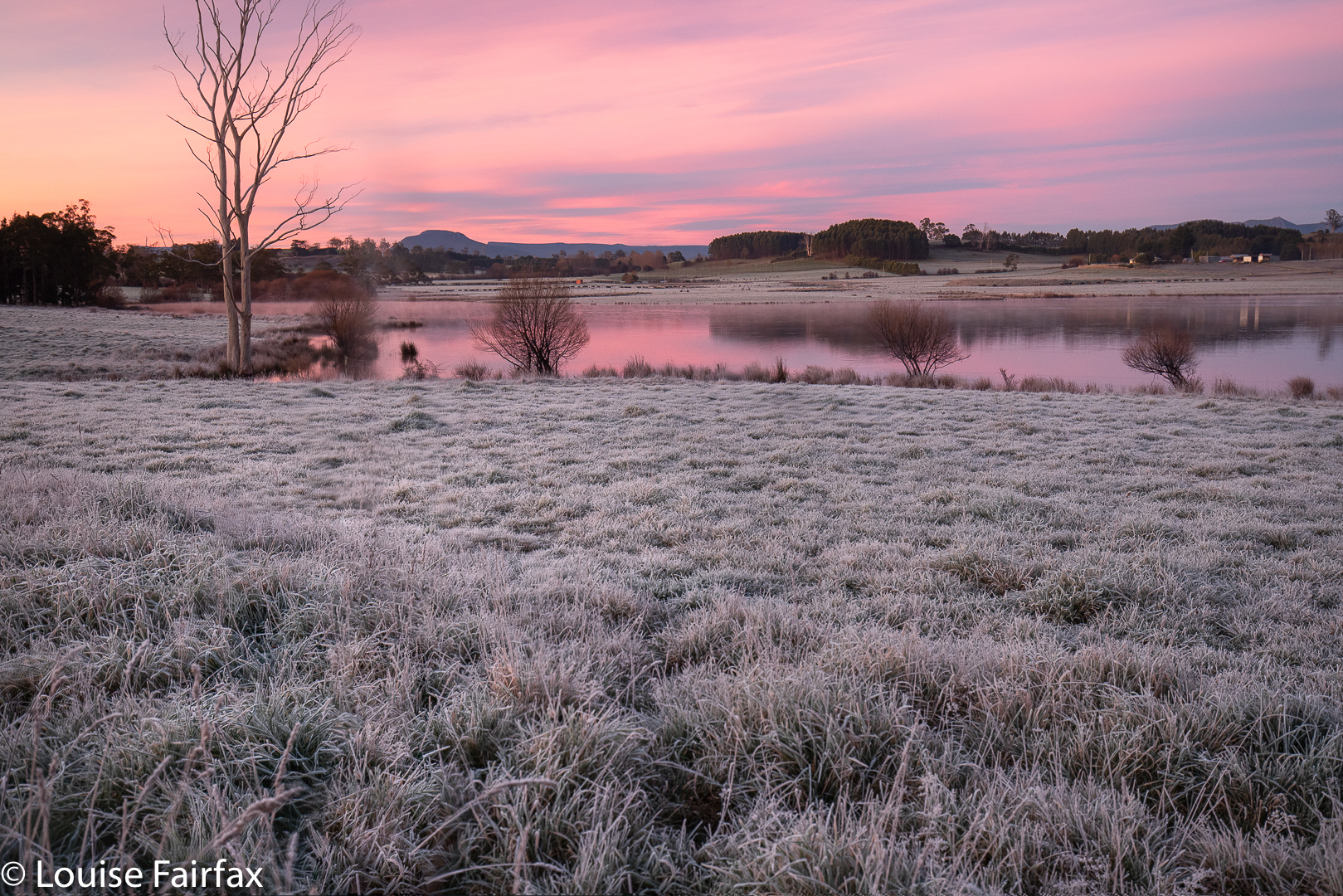
Liena Falls 2019

I first heard about Liena Falls on Thursday evening from a fellow waterfall-aficionado. Oh dear. Another waterfall on my ever increasing list, despite the fact that I theoretically reduce said list by regularly finding falls. Anyway, almost each waterfall is a new encounter with beauty, so this expansion in the face of reduction is not a great burden. The only time I am not filled with joy is if the falls are in, or right next to, an area of clear felling.

Liena Falls

On Friday, after I had had a run and taken Tessie for a walk, I had free time, so decided I would satisfy my curiosity and visit the falls. They’re not too far from Launceston. I’m glad we’d already had our exercise, as the fitness-value of our excursion was rather limited. I probably spent more time drinking coffee in Sheffield that I did walking to the falls. That said, I found myself in a little ferny haven. But I am scared. This idyll was far too close to the road for its own good, and the beautiful ferns could so easily become the victim of a single person’s selfish destruction, as with Upper Cam Falls, so I am not going to give exact details. It is a very steep drop to the base, so maybe that will protect them.

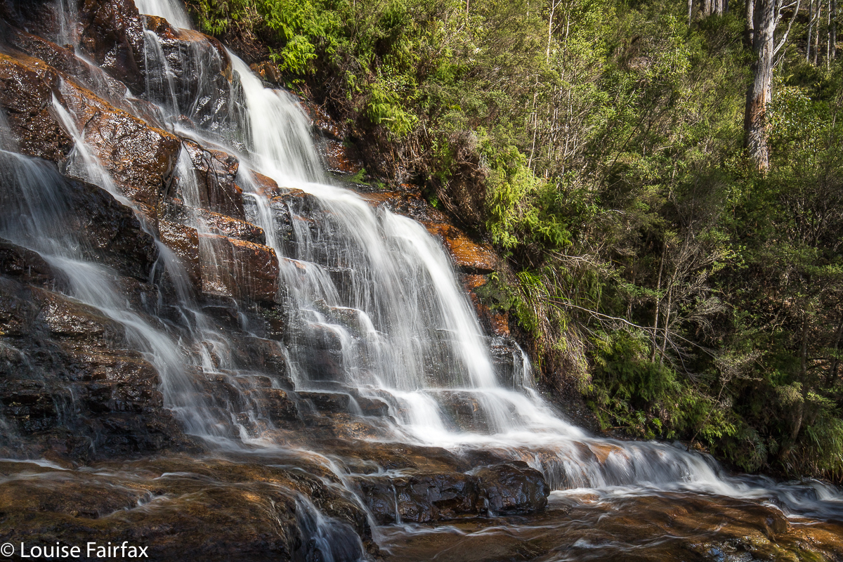
Liena Falls

Hm. Let us return to my earlier comment about clear felling. On my homeward journey, I discovered that these lovely falls are only maybe two hundred metres from a formerly clear-felled area. Light has now encouraged vast expanses of blackberries and the barren view is only slightly attenuated by the presence of some colonising silver wattles near the gullies. I didn’t know that on the way in, as I approached from the north, via Sheffield and over the Claude saddle with its fabulous views. My exit was via Liena and Mole Creek, and using that route, I got to witness all the destruction. Still, I would much prefer to look at ugly clear felling than even uglier factories, and I kept reminding myself of this as I drove home. And my knowledge of what lay ahead did not interfere with my enjoyment of the falls one scrap, as I didn’t know yet, and could not have guessed from the falls, that they were at the edge of beauty rather than at its centre.

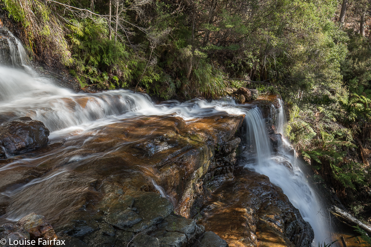
Liena Falls

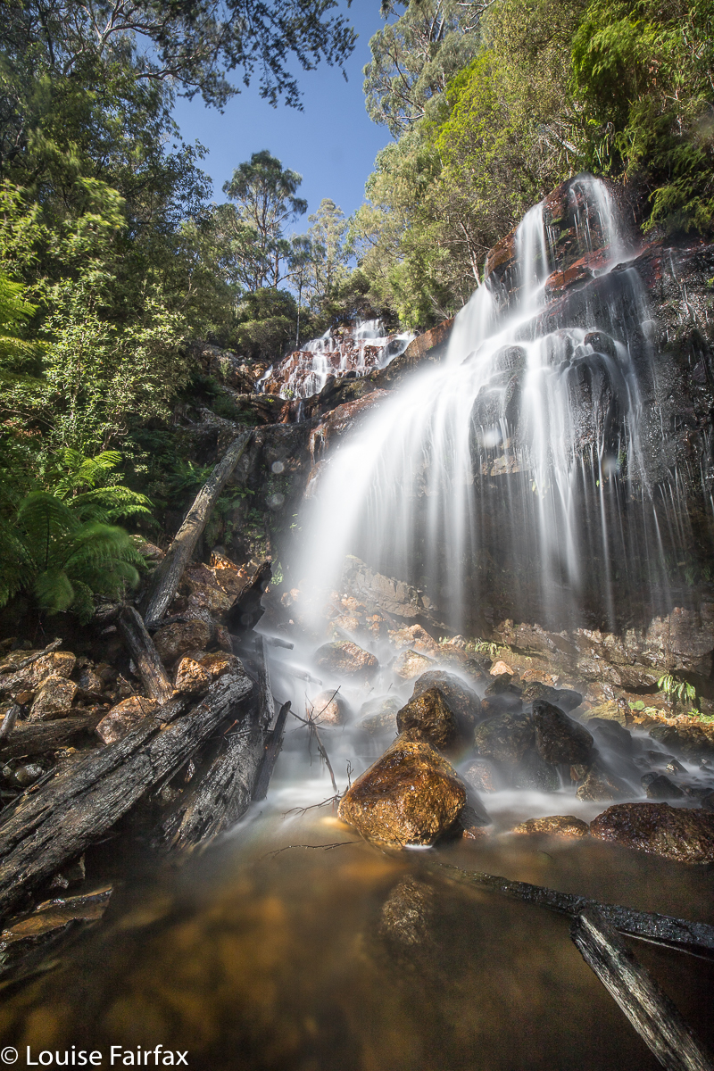
Tin Spur Falls 2018 Aug

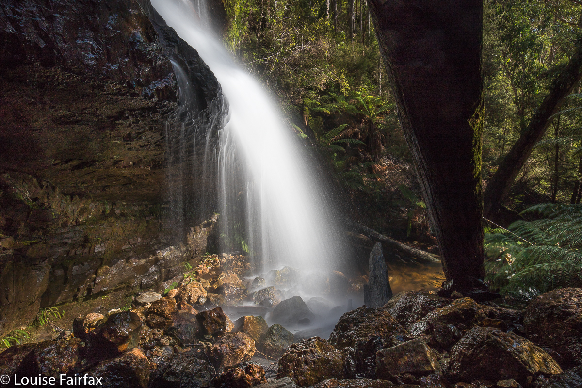
Tin Spur Falls Aug 2018


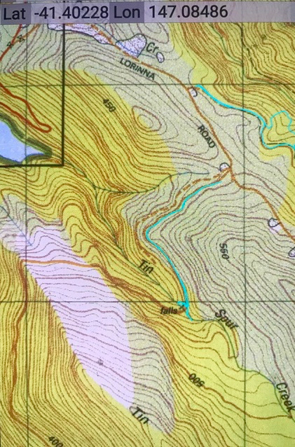
Being one of those odd individuals who spends some of her time map-staring, I had noticed a waterfall on a creek named Tin Spur Creek, and, being highly imaginative, had named the falls “Tin Spur Falls” and added them to my ever-expanding bucket list to do some day, one day.
Very recently, a photo got published of these falls that looked very beautiful, so I was spurred to push it up the queue. The trouble was, however, that the people who had been to it made it sound like the descent was a VERY BIG DEAL. Yes, it was steep, and yes, some of the footing was a bit loose, but I have experienced a lot worse than this one. Anyway, as I was expecting dire dangers, the reality was rather pleasant by comparison.


However, if you are not very experienced, please don’t use that judgement as an indication that it is easy. ‘Hard’ and ‘easy’ are words that are VERY relative to the user. I have now climbed nearly all of Tasmania’s Abels (high mountains at a rough summary), and have visited about 140 waterfalls. I am thus making comment on this waterfall from a base of a great deal of experience. I would not, for example, ever bring a bushwalking club down that slope. I was nervous about taking Tessa, but she coped admirably.


She and I loved these falls so much that we lingered around their fine spray for over an hour, photographing and also appreciating the delicate tracery of water as it made patterns cascading over the jutting tangerine rocks. I was sad when it was time to go back to the car, but I was hungry by then.


On the logical approach to the falls, you will come to a locked boom gate across your path, so you need to park and walk further than you might have expected ( a whole 12 minutes in each direction). Both Tessa and I enjoyed that walk on contour before we began the tough stuff. It was a time to look at the scenery and dream, and to marvel at the lake spread out below us, shining in the sun. I would not have enjoyed the waterfall quarter as much if I had been able to park right next to it. I wish all waterfalls had at least a 30 minutes’ walk to reach them. That would help protect them against many of the vandals who terrorise their vicinity. I would postulate that there is a strong inverse relationship between ‘car-to-falls distance’ and destruction to a fall – or to any item of nature. Generally, the further you penetrate into wilderness, the lighter is the human tread.


If you don’t feel up to the challenge of the descent, I think it is still very enjoyable to walk on the closed road to the top of the falls and enjoy what that area has to offer. There is a little track to the left, going upstream from the road; Tess and I explored a bit of that as well. Hunger cut the exploration short.

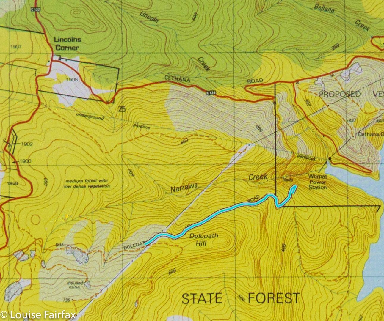
Narrawa Creek Falls 2018 Apr

Narrawa Creek Falls 2018 Apr
Today I had a total waterfall spree, just going with the flow (ha ha) and visiting the next falls that my eyes caught on the map. I had no internet connection, being in the middle of nowhere, so no information. For each one (apart from my revisit to Phillips Falls), it was a case of park the car where it seemed reasonable, and try to get there. I am pleased to report success in each case. (The other four in the collection, which will get their own blogs, are: Cethana Falls, Hullabaloo Falls, Hullabaloo Upper, and Hogg Creek Falls).
I was actually heading for Cradle Mountain, but got so waylaid that I never even got near. My first stop was to revisit Phillips Falls near the Mt Claude saddle, as it had not been flowing last time I was there, and I had hopes that, after yesterday’s rain, there might be something to photograph this time. There was, so I have done another Phillips Falls blog. See
www,natureloverswalks.com/phillips-falls-2/

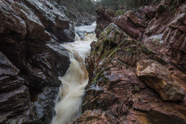
Narrawa Creek Falls pumping it out.
Second on my list, once I rejoined Cethana Road and began to climb after the bridge below the dam wall at the bottom, was the still unfortunately unspectacular Cethana Falls at the second hairpin bend on the climb. (Separate, very short blog with a map in case you need it – see www.natureloverswalks.com/cethana-falls/). And now came the challenge. Narrawa Creek Gorge. On inspecting the map, I saw a dirt road issuing from one of the hairpins that you could follow that went sort of nearby. I sought it out. It had a huge, no-arguments-will-be-entertained fence that, well, I could have climbed, but I decided they meant business, so resisted and had another map stare. OK. Let’s try from above, which would involve a fairly whopping height loss (to be regained on the homeward journey, but, hey, I’ve got all day and I enjoy exercise , so why not?).

Armillaria novaezelandiae
I exited the main, sealed Cradle Road on the dirt road that leads to Lemonthyme Lodge, and parked my car along it where a track leads down the hill, as per the map below. Would this one have a fence or a keep out sign? No. Excellent. Narrawa, here I come. Down, down, down I dropped on a route that is only for the enthusiastic. It was so steep that my boots had trouble not slipping on occasion. What I was on was a former dirt road, but there were no signs at all of recent (or even non-recent) usage. It was weathered into a state of definite disrepair that would challenge even a quad bike. It was totally fine for walking. Fungi as well as curiosity kept me highly motivated. At my chosen moment, I deserted this and went bush in quest of my falls, fearing all along after last weekend’s failed attempt at Cashs that I would just meet with cliffs and buttresses that hid me from my goal. As I got nearer, I could hear its mighty roar, so wondered: if you hear it, can that count as a bag? I knew the answer was “No”. Wow, though, it was sure pumping.

And, was I ever excited when I got my first glimpse. wow, what a mighty wallop of water to go with the noise. It was momentous. I perched on a somewhat precarious ledge to photograph my prize before returning, very satisfied to the car. I decided that that effort deserved lunch, so had a picnic in the bush right there.
Just as I was leaving, and consulting my map to sort out what I wanted to do next, a little piece of writing caught my eye: it said “Hullabaloo Falls”. It wasn’t far away – just down the road, near Lemonthyme Lodge.  It would be stupid to ignore being this close, so off I set. For continuation of this story, you will need to progress to www.natureloverswalks.com/hullabaloo-falls/.

Dasher Falls 2016 Apr

Dasher Falls Apr 2016
We did Dasher Falls in combination with Redwater Creek Falls Upper and Lower – a pleasant short trip from Launceston.
(See www.natureloverswalks.com/redwater-creek-falls/ )


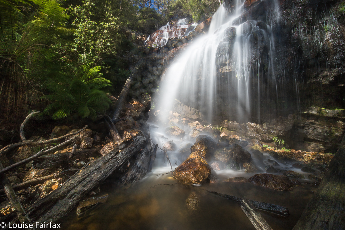
Dasher Falls
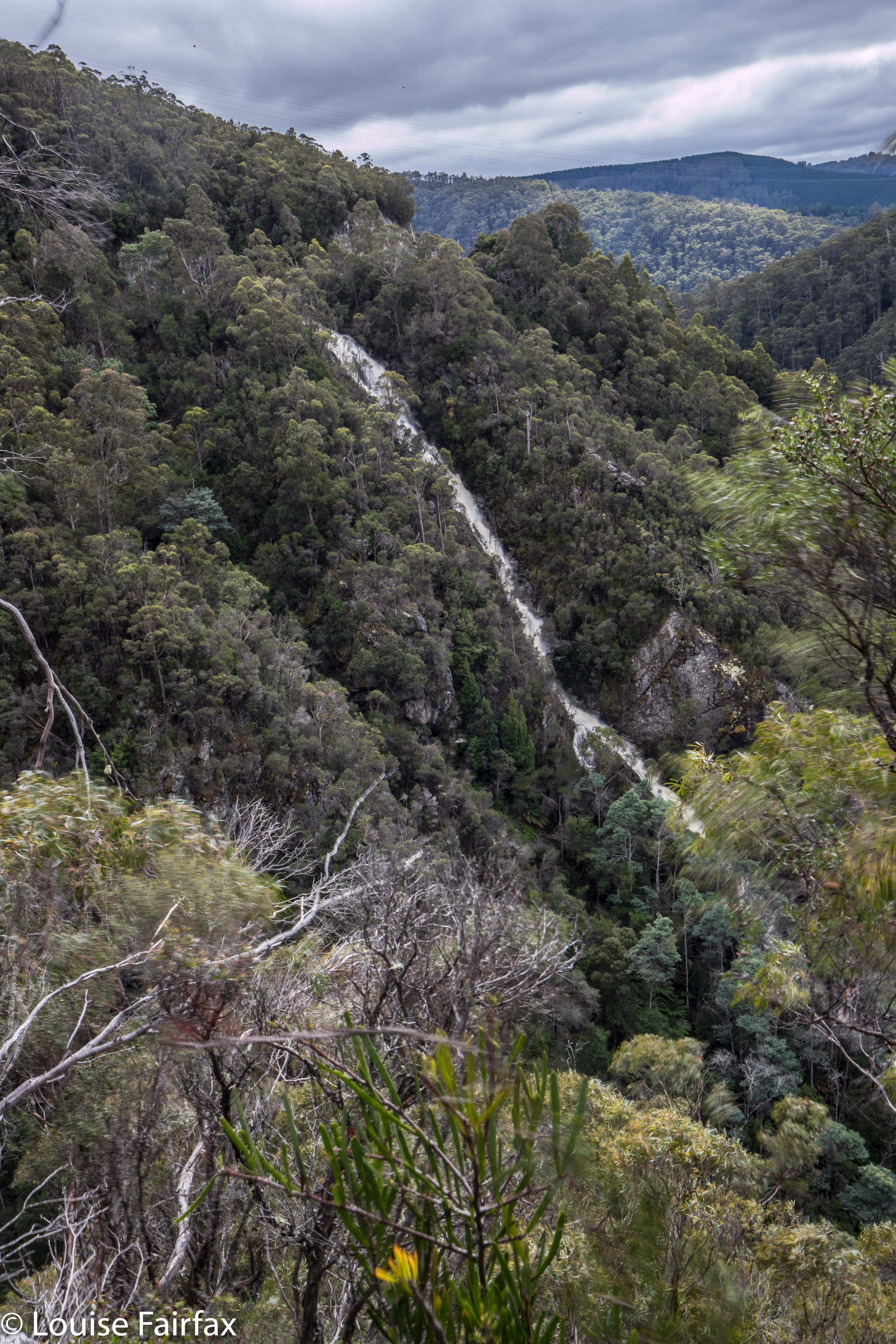
How to get there:  Driving from Sheffield, we turned towards Beulah at the intersection, along a road that the map (but not the signage) calls Bridal Track Road. We followed this along until there is a road off to the right at the bottom of the hill with a sign that says Lower Beulah 3 kms. This road crosses the Dasher River within 20 metres of the intersection. The falls are now about 400 ms upstream. You can either park there and walk up the road, or be lazy and do what we did and drive back up the hill for about 200+ ms until you see a pine tree with a pink tag on it. Parking there is fine pulling over to the left from this direction (but parking coming from the other direction and trying to spot tape etc didn’t appeal to us). From this tree, follow tapes towards the river, and then upstream to your right. Soon enough (a mere 100ms or less) you’ll see the falls. Today, after the heavy rain we’ve had, the mud and rocks were slippery, and my husband and dog both backed out of actually gong to the falls, settling for a walk back along the river on safer ground. I would not under any circumstances bring a child here unless it was on a lead! Maybe the picture is enough to tell you why. I was too scared to look over some edges.
After you’ve visited the falls, you can turn around by putting your nose into a dirt track that is on the right shortly after the pink-taped tree.