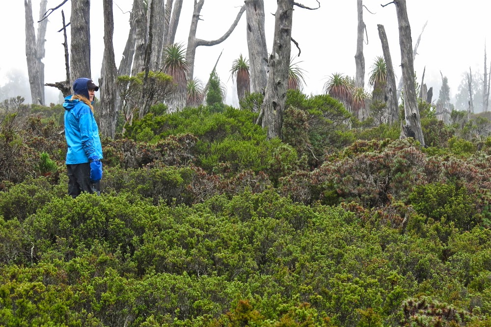
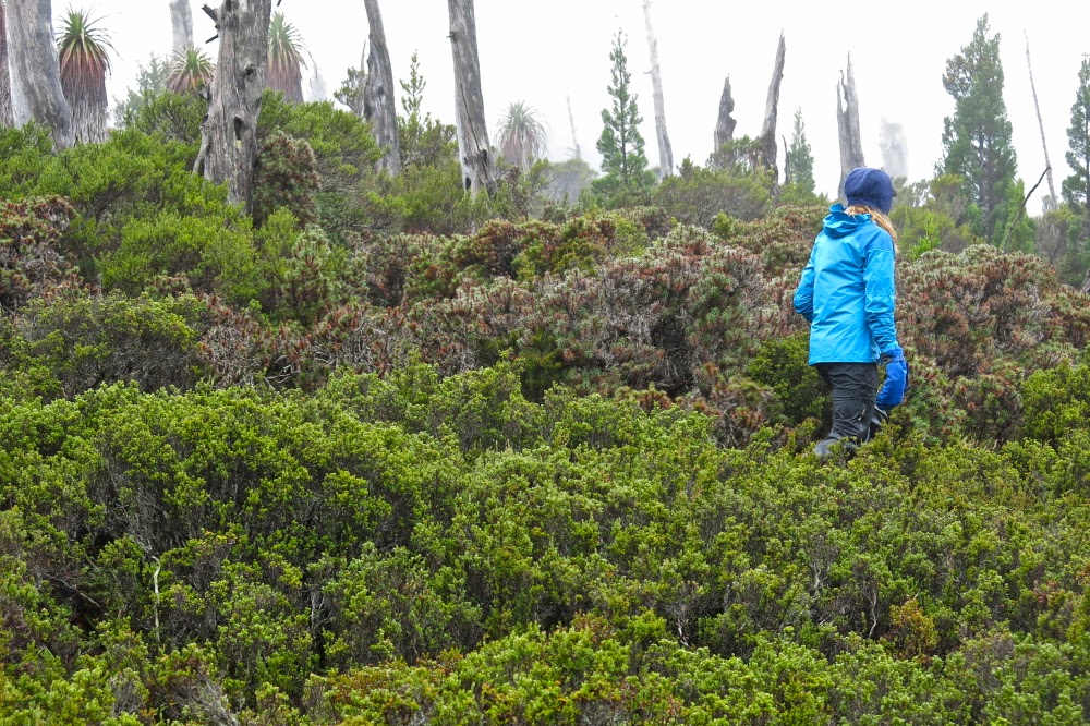
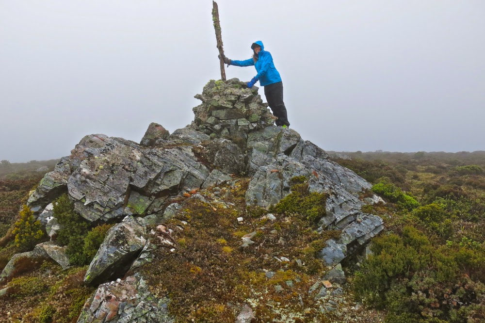
South West Cape Trail 2015 Mt Karamu, New Harbour Range, Smoke Signal Hill

South West Cape Track.
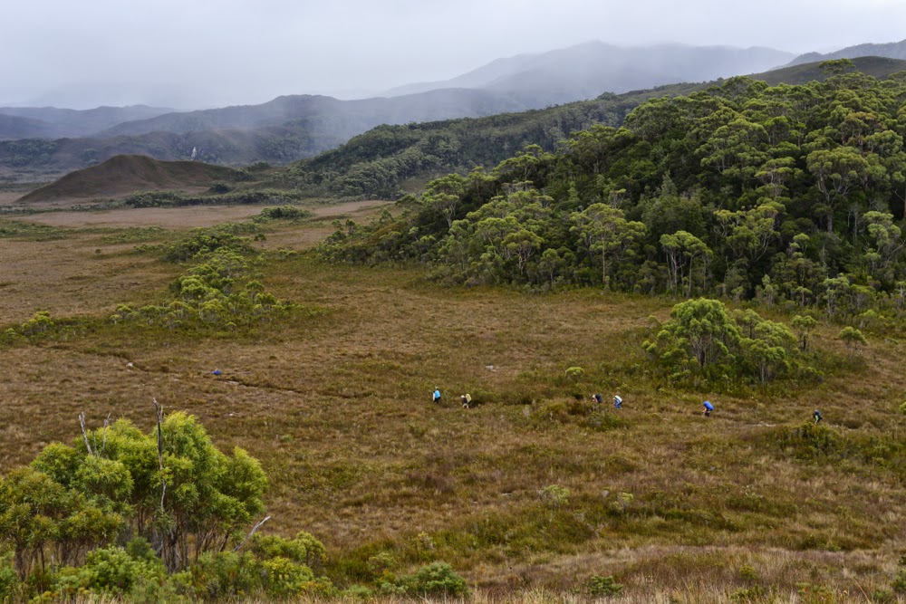
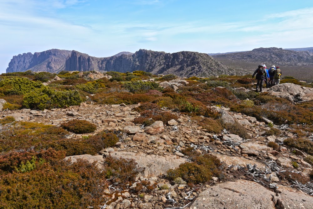
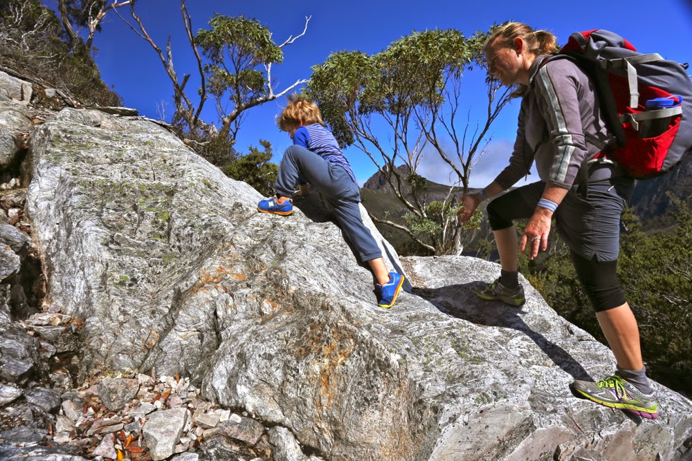
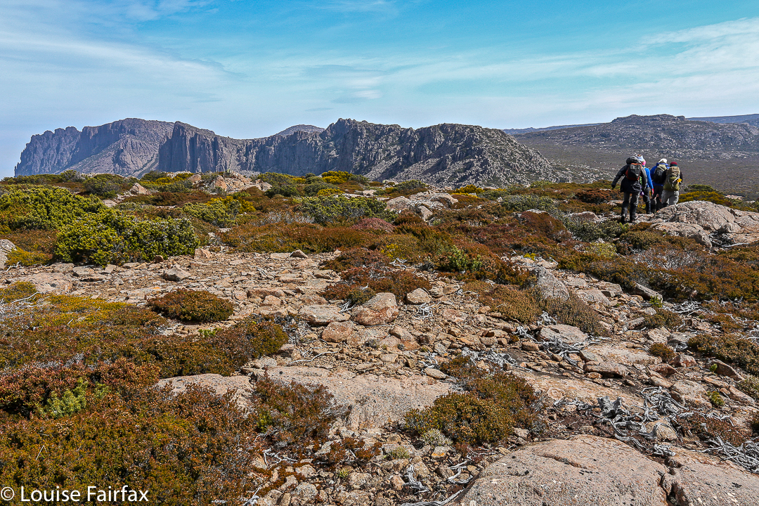
South West Cape Track: hard or easy? It depends on your expectations as created by your experience and the context within which the word is used. Pictured are the others walking along the path that most found easy. I added challenge by climbing little thises and thats along the way.  Warning: the blog this week is not easy :-).
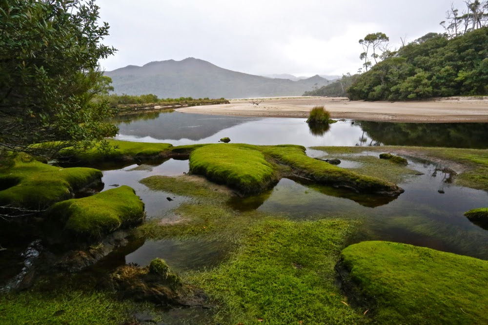
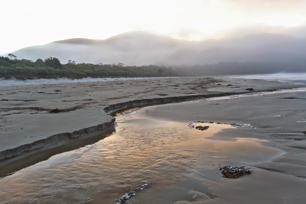
The entrance to New Harbour
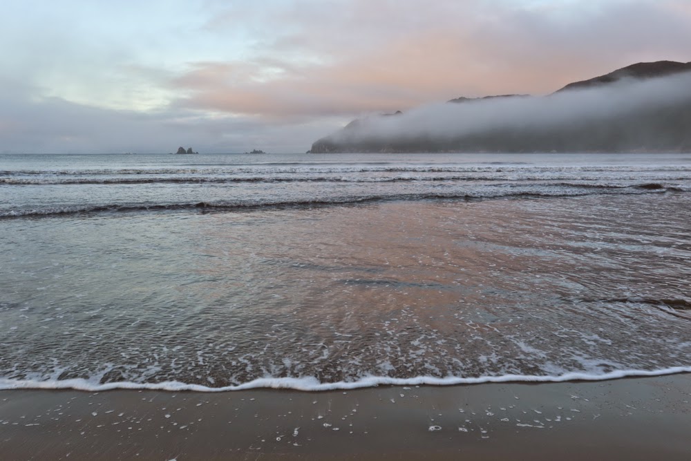
Dawn on Day 2, New Harbour. 
Same, looking in the other direction (east)
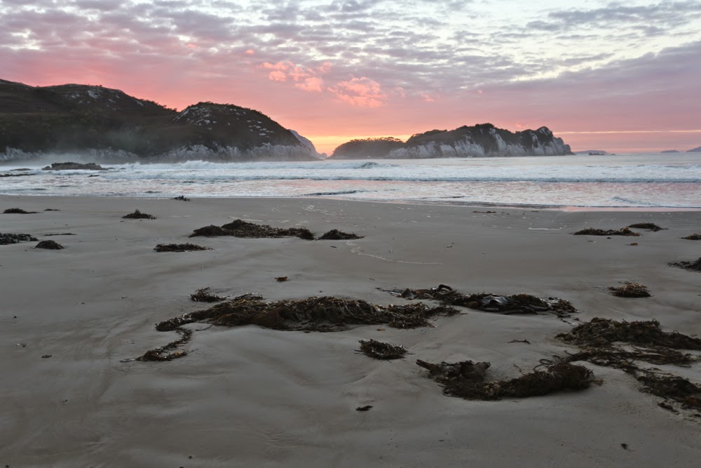
Looking mostly south. This is also the view out my tent on the final evening / morning

I stood on the summit of New Harbour Range, mesmerised by the view, my spirit reaching out towards Antarctica to the south, South America to the West, New Zealand to the east. Infinite space; infinite glory; infinite peace. My being was no longer coterminous with my epidermal layer but transcended to a space beyond, which could not be numbered. One of the three companions who had climbed with me turned to me and said, most aptly: “You know, I’m  not a religious person, Louise, but this here is the nearest I get to a religious experience.”
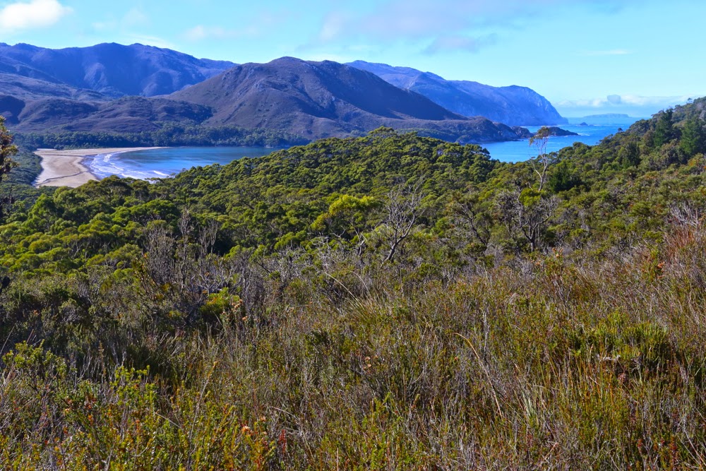
Day 2. Rising above New Harbour (en route to Hidden Bay, then Ketchem Bay), and looking back to Smoke Signal Hill and the New Harbour Range behind. Both of these would be climbed by four of us on our return leg.

He is, of course, so right, but his words had a bitter sting in our current political context, as we bushwalkers are, basically, fighting for our right to have experiences like this in this area we called wilderness, to keep these areas accessible yet untarnished by the sound of jet skis, the sight of grand luxury tourist hotels and cable cars. Liberal governments, both state and federal, make the assumption that spiritual connection to the land – a transcendental experience that is prompted by place – is something that only indigenous people can experience, and that if a non-indigenous person has what might be called a soul, then they should go off to a dark and musty church building made by human hands in order to connect with the eternal. I am sure there must be somewhere bushwalkers who are only there because it’s “sport” and a challenge to be had in nature, but the ones I mix with are there in the wild places because it is precisely in such infinite beauty that we find freedom and peace, and that these are things we need to keep happy and sane.
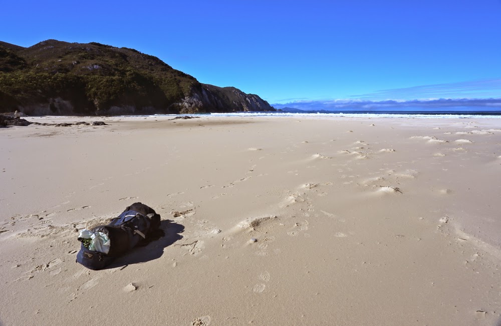
A pack. A wild beach. Does it get any better than that? (Hidden Bay).
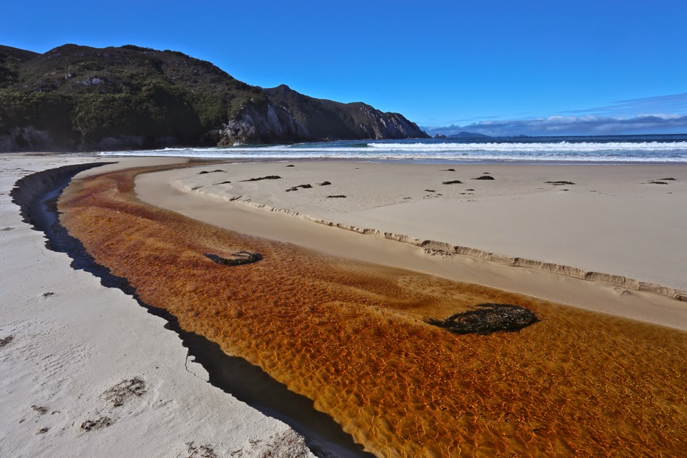
 

Further along Hidden Bay, where we had an early lunch having inspected the elephant seal that we hoped was just exhausted but that we feared was dead.
 But let me begin at the beginning, which I guess is when I read “Mt Karamu” on the Hobart Walking Club trip list, checked out the coordinates of this peak, and signed up with record-breaking speed, hoping I hadn’t delayed too long to be given a place. And several months later, there we stood on the

Denny King airstrip at Melaleuca, ready to venture into this part of the state that I have long coveted but never had the opportunity to explore.
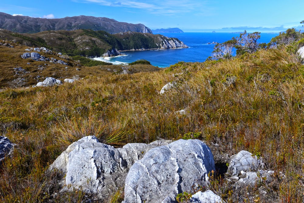
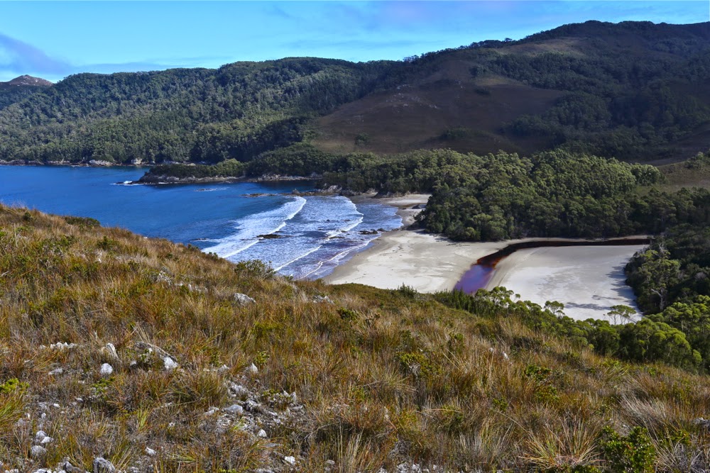
Same Day. Now we’re above Hidden Bay and about to get our first glimpse of Ketchem.
First sighting of the fabulous Ketchem Bay with its rocky islands and caves, nooks and crannies: our camping spot for the night.
What does the word “wilderness” mean to you, I wonder. To me, it suggests vastness, ruggedness, remoteness, and ruthless nature with no attempt to be tamed by audacious and pretentious humans. If this exposure to the unleashed forces of nature in all its sublimity is what you desire, then the ne plus ultra in a Tasmanian context must surely be the South West Cape of Tasmania. Even the flight in to utterly isolated Melaleuca, perilously near to rocky faces that can kill you with a single kiss, fills you with a frisson of delight. 
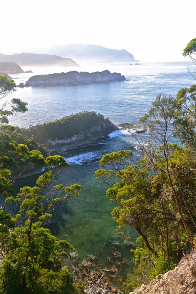
Ketchem Island from Ketchem Bay. Dawn breaks on Day 3.

As I reclined in my tent on the final evening, gazing out past rainforest trees at the endless variety of the patterns of force as the waves crashed on the sand about 120 metres from my bed, I thought about our governments and their concept of luxury, for to me there is no greater luxury than the liberty to have this sight. I let my eyes wander in the direction of Antarctica to the south, a place that I could not see, but just knowing that it was the next expanse of land was enough to thrill – like reading on a menu the process of marination and the herbs and spices that have gone into the dish you’re about to eat. The very knowledge adds flavour that you would not otherwise experience.
Day 3. So far, we are avoiding the shepherds’ warning of the dawn and are enjoying glorious weather for our climb to Mt Karamu. Here we are looking back east as we head for Wilsons Bight.
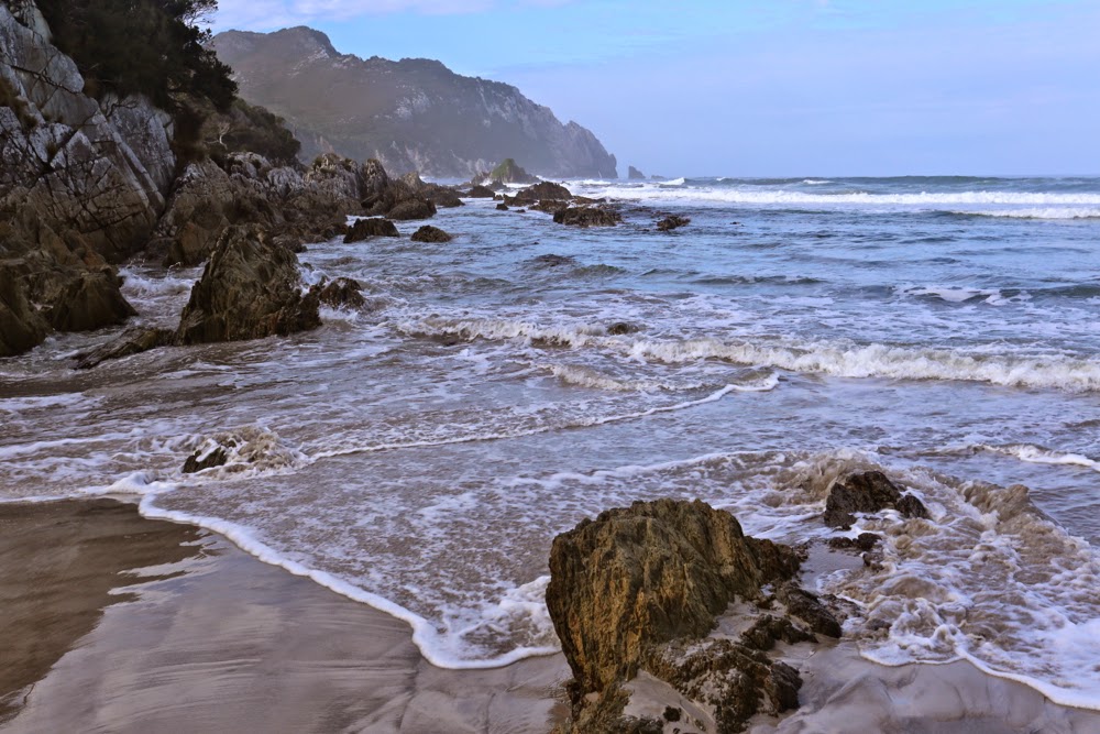
 

Now this bit was NOT easy. See those rocks there lining the headland to the left? They were the scene for one of the best games of my life: an adult version of musical chairs + What’s the time Mr Wolf? Dinner time, or the moment the music stopped, was the time the next huge wave approached. On cue, you had to rush post haste to the nearest rocky island, usually about 1 metre high and 1.5 long. Perched up there you waited, usually 7 waves long, for the next opportunity to advance a square. If you missed, you got drenched and risked being taken places you didn’t want to go to by the force of the incoming tide. I was pleased to emerge at the end as dry as a bone, but not all my friends had the same happy fate.

I thought about how simple our needs become in the wilderness. Do you want to know what I thought of as other luxuries? Not a glass of champagne on a pontoon with fake palm trees and facile conversation with others whose world revolves around money. No. Here is my list of “negative luxuries” if you will: dry boots at the end of a day; packing up the tent without rain falling on you; putting your hand out the tent flap without having leeches jumping onto it; feeling free to use toilet paper rather than leaves (a self-inflicted hardship I employ to help protect the environment); food that has not been dehydrated; fresh undies each day. “That sounds horrid”, do I hear you say? These little pleasures are so often taken for granted yet they also indicate tiny hardships we take on board for the greater luxury of being there in the midst of such unattenuated beauty, and the beauty is so overwhelming that we just laugh together at what we go through to be there.
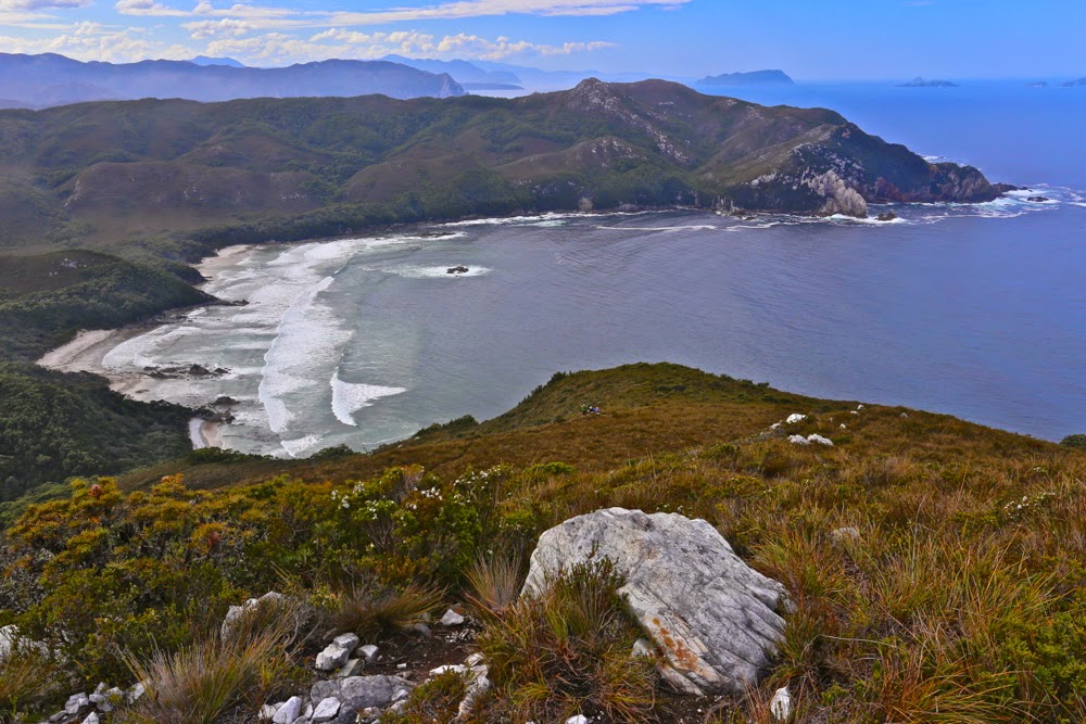
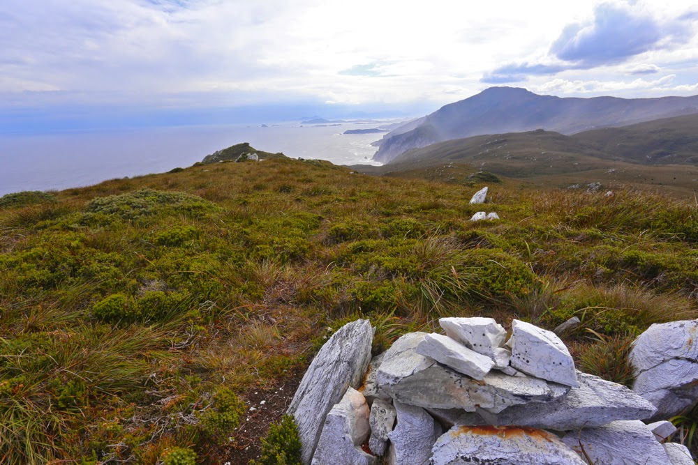
Wilsons Bight far below now. This shot is taken not far in vertical metres from the summit, although in horizontal metres there was still quite a bit of ground to cover, as Karamu has a long ridge leading to its highest point, which is right at its northern tip. Plenty of time to enjoy expansive views to left and right, and to gaze down on SW Cape – obviously, with a name like that, the furthest point to the south west of our island state.
The view to the north from the summit of Karamu
Much as I adore wilderness and was looking forward with eager anticipation to this trip, I was a little worried about the tiny amounts we would be walking each day. I looked at the map, and did my maths, and saw that we would not be advancing up this board with staggering speed. The advantages of this, of course, would be plenty of time to explore each beach and to photograph as the mood took me. The disadvantage for a person with my restless spirit and uncontrolled energy was that I ran the risk of exploding like a saucepan on the boil with the lid kept on. Would I cope? I couldn’t tell in advance. I thought of taking runners, but didn’t want the extra weight. I’d just have to tough it out.
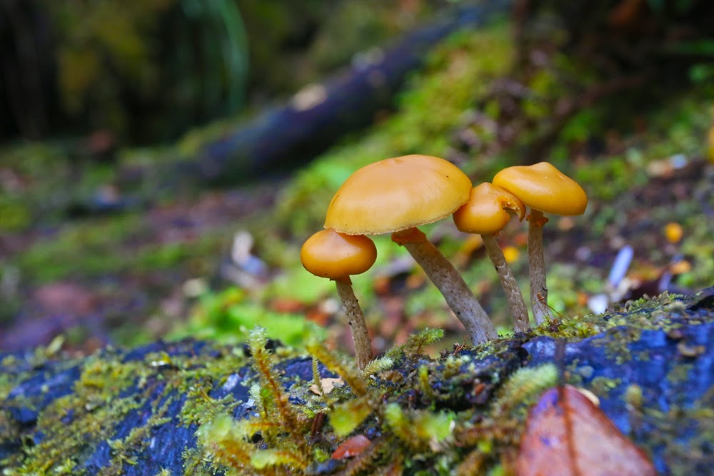
Autumn has only just arrived, but there were young fungi out in many sections of rainforest we walked through.
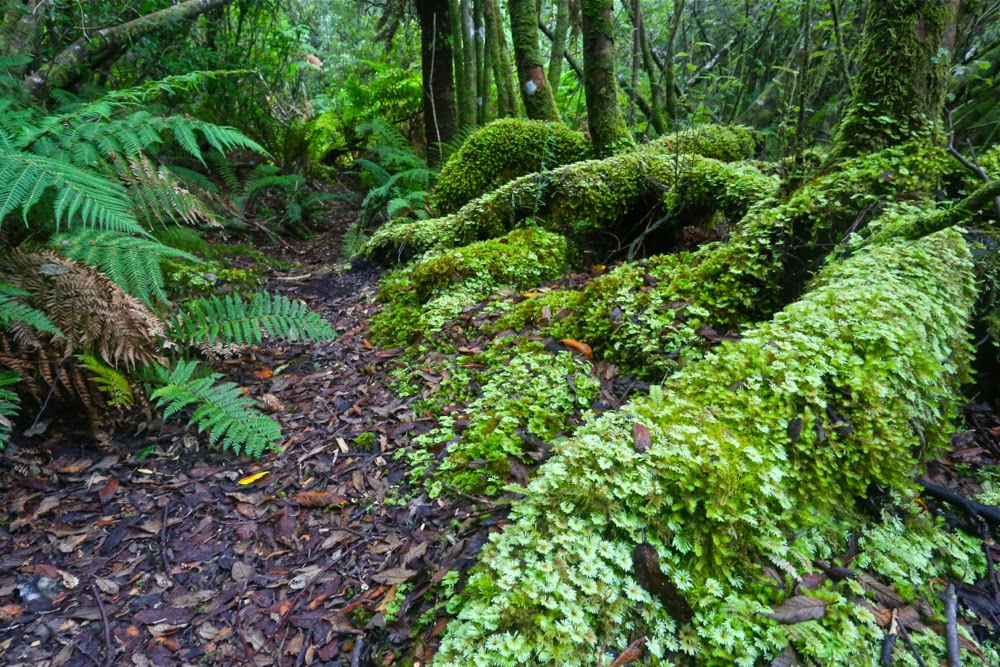
 

I hadn’t realised how very often we would be walking through glorious rainforest. When not walking along beaches, we were often in fairyland. Here is the forest behind Ketchem Bay where I went to play if I wanted a change from infinite beach. 
This brings me to another issue that interested me this trip: the relativity of how we perceive experiences. It is always so hard to imagine that someone else might dislike what we love. I am still stunned that my neighbours actually hate trees. I don’t mean they don’t love them like I do. I mean they actually hate them. Here on this walk, we had a person who did not relish the experience in the way the rest of us did. The situation reminded me of CS Lewis’s busload of people from hell who go to visit heaven and hate it there, or William Blake’s phrase in his glorious poem about love (The Clod and the Pebble), how one can “build a Hell in Heaven’s despite” (and one can also “build a Heaven in Hell’s despair”).
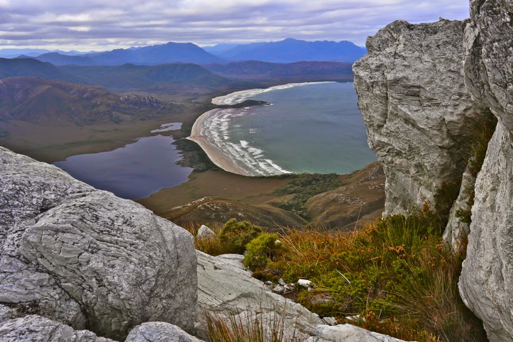
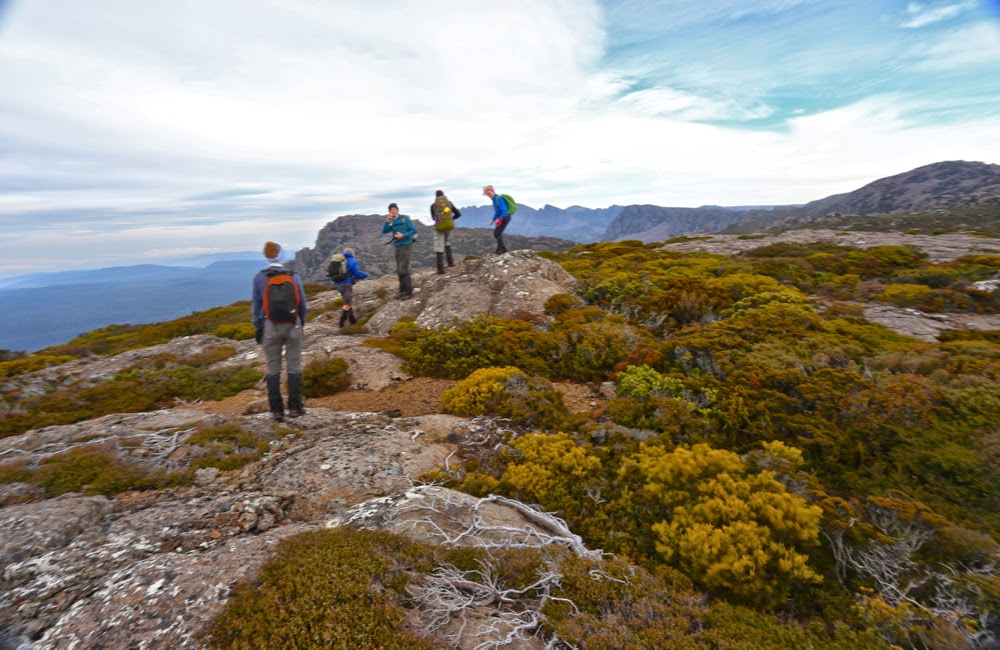
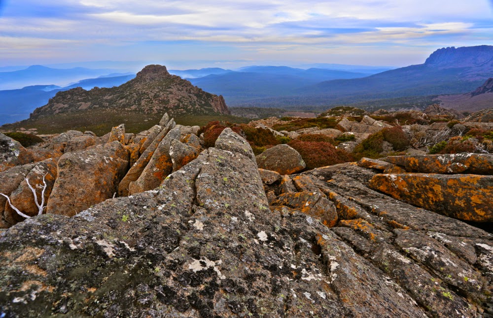
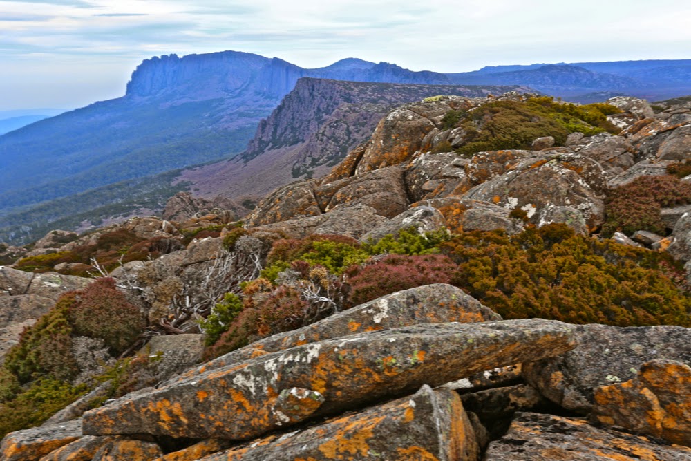
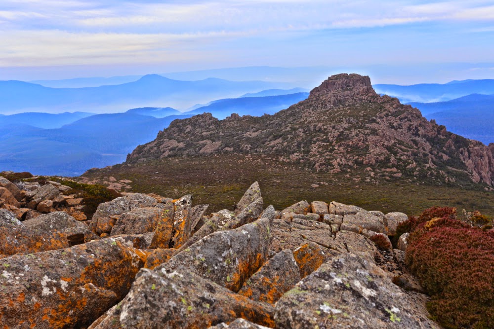
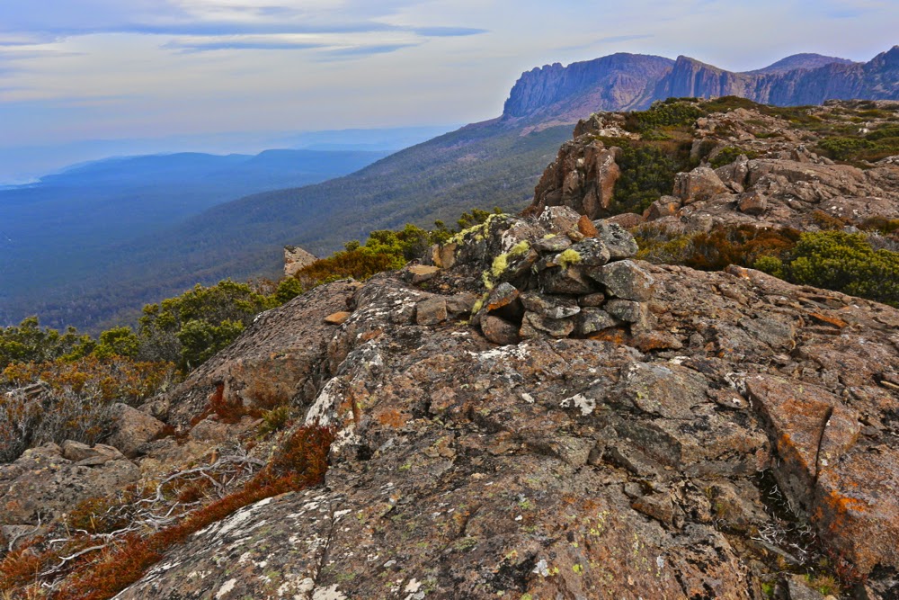
Day 5. The summit of New Harbour Range. For me, the equal highlight of our trip. I preferred its view to that of Mt Karamu, but enjoyed the utter remoteness of the latter. Each had so very much to offer.
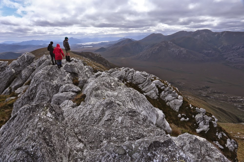
 

New Harbour Range summit, looking north to Melalauca, where the adventure began. We have nearly come full circle.
Tut. I have not described our route or what we did, other than gaze at beauty. The route is on the map – a little red line – or in Chapman’s guide. The mountains are mentioned and discussed in my photos above. What did we do other than gaze at wondrous beaches and climb heavenly mountains? We walked some more, pondered much, stared with wonder heaps, chatted, ate dehydrated food, sheltered in our tents from rain or sang glorious songs (well, I did) when the sun came out. We explored the minute detail of the superb wild beaches. I paced up and down, up and down said beaches. K collected bags of rubbish washed ashore by irresponsible and selfish boat people. C also paced the beaches, photographing little marine items that captured her attention. Mary sketched the most exquisite line drawing of Ketchem Island that quite literally took my breath away with its expertise, artistry and beauty; T did crosswords and trotted around the campsite in her new trendy shoes – two left crocs, way too big for her – that we salvaged from debris (she had regretted not brining camp shoes); V manufactured chairs out of other scraps of debris (perhaps her frypan chair was the most innovative), and served up gourmet food to her husband and J and V spent a great deal of time trying to dry their tent fly and sodden clothes on makeshift clotheslines.
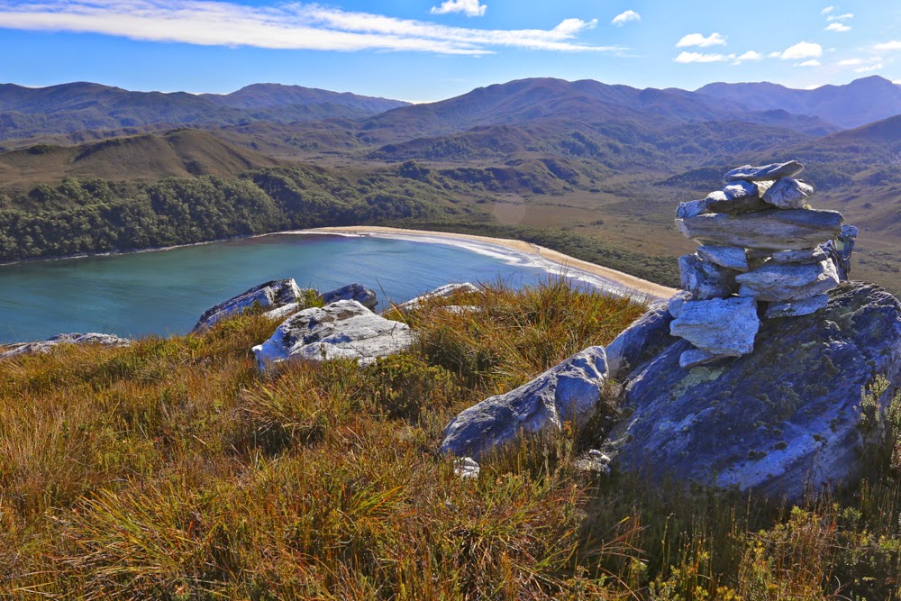
Looking back down to New Harbour from Smoke Signal Hill.
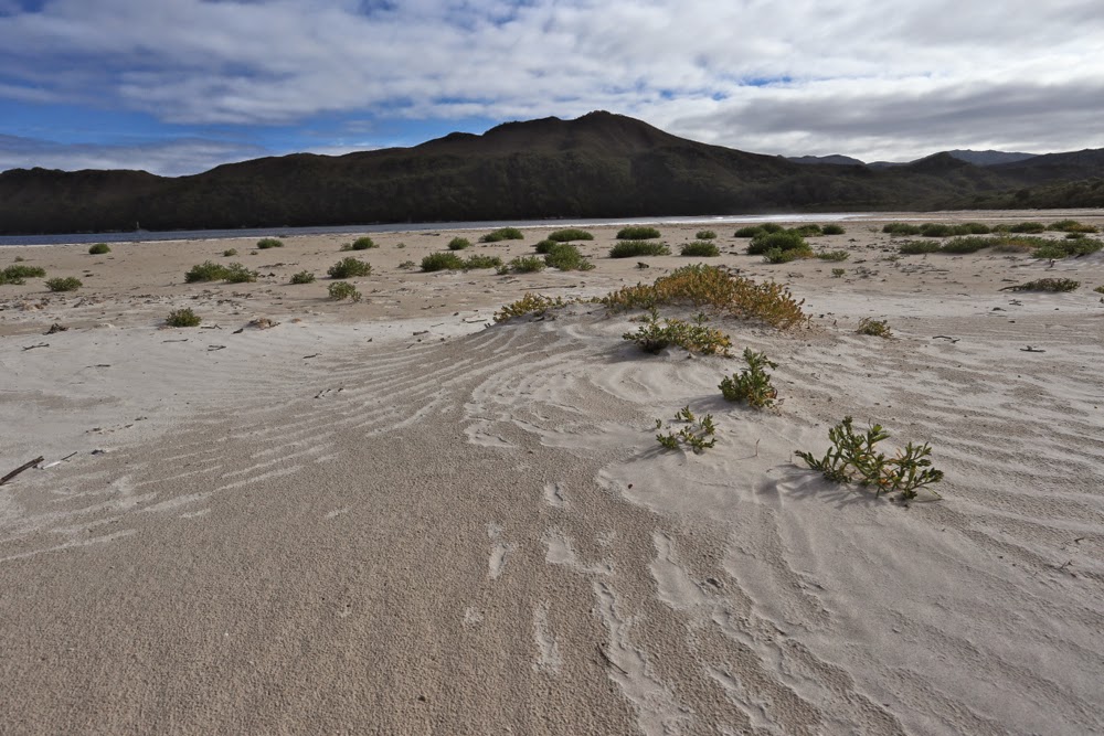
 

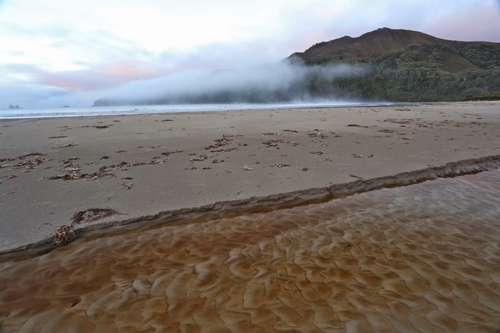
Back down at New Harbour.

“Do I want to return to civilisation?”, (odd word when one considers how very uncivilised most humans’ behaviour is, a point teased out superbly in David Malouf’s An Imaginary Life), the caretaker of Melaleuca asked me. “Yes”, I replied. There is a moment for everything. Wilderness is a glorious time out, but I also enjoy the rough and tumble of normal twentieth century life, and enjoy many of the luxuries it has to offer, like long, hot showers, lights to read by, chair backs to make reading comfortable, a fire in my hearth and real food and wine on my table, which nearly always has a candle burning at meal times and a flower from my garden to decorate it. If we keep technology as our slave rather than becoming enslaved to it, it has much to offer us, and I embrace many of those opportunities. Next week I’m off to Sydney to see Aida on the Harbour and the ballet, Giselle, at the Opera House. Many philosophers regard culture as the antithesis of nature. I love both.

My room with a view and all my worldly needs for six days.


Coal Falls 2015 Apr

Coal Falls 1 April 2015


Heading along the tops before dropping down to the falls
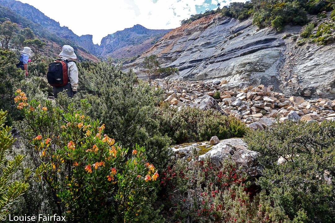
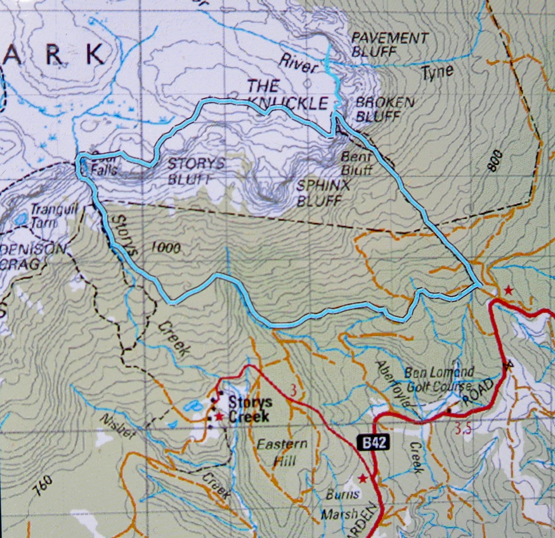
This was, it seems, not a good time to visit these falls, in that the flow was most unexciting – so much so that I didn’t even bother to take a photo of the falls. Downstream was a lot prettier, and the walk there was fun. I am publishing here in case others would like to see the route we took to the falls. We went up the track to Broken Bluff, along the tops off track past Storys Bluff, and then down, also offtrack, past the falls, along the creek and back. We picked up bits of an old track at some point on the way down. It’s not a walk for those who need a track the whole way.


Looking back at them from below

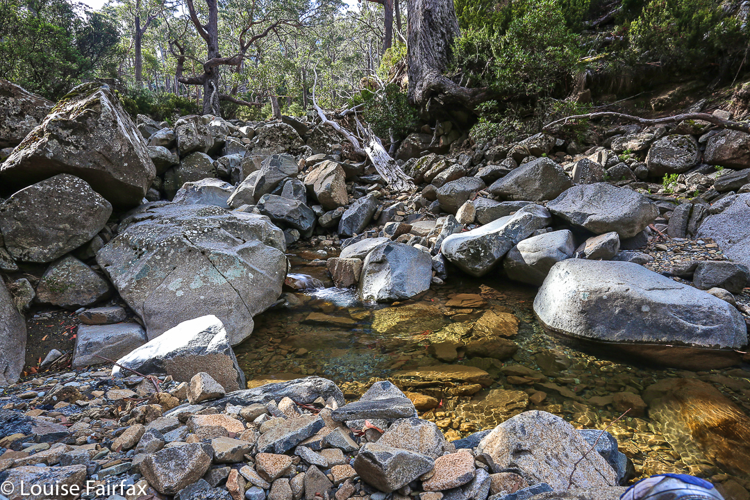
Downstream – much nicer

Bent Bluff, Knuckle, Storys Bluff 2015 Apr

Bent Bluff, The Knuckle, Storys Bluff Apr 2015

Misty Fingal valley near the top of the track
My bags were all packed for my Easter six-day expedition when an invitation to go climbing arrived in my Inbox. Could I honestly squeeze this in – and do it without using any of the gear I’d so carefully packed for the weekend? Was I organised enough to go off gallivanting for a day? I decided I was.

The group arrives at Bent Bluff

The climb was located at the southern end of the Ben Lomond massif, to three peaks east of Stacks Bluff (that I had already climbed), and we would use the Bent Bluff track that I had never seen before, which meant that everything would be new for me. It’s fun to explore unfamiliar territory.

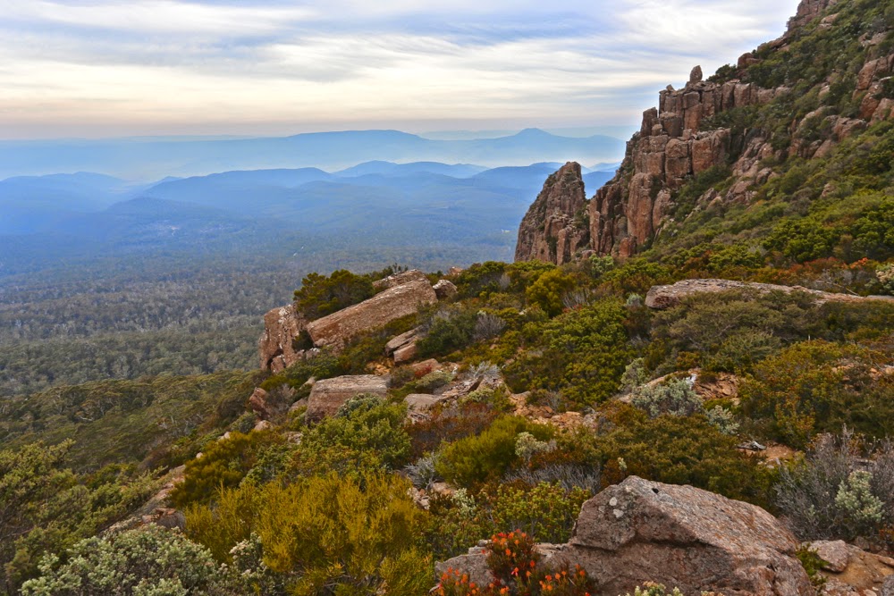
The Knuckle summit, looking at Sphinx Bluff. Stacks Bluff off to the right.

We met in the dark in Launceston and were ready to start walking by 9. I wore gym shoes and no gaiters, courtesy of my self-made limitations mentioned above. I didn’t want to dirty or wet anything important. I really enjoyed returning to the footwear I wore pre-2012. Boots often feel slow and restrictive, even if they do keep the feet drier and warmer in the wet conditions Tassie so often gives us. Boots ensure I don’t run, but I love to run. Today I was free.

From The Knuckle to Storys Bluff (our next destination) with Stacks Bluff’s coxcomb visible. Wilmot Bluff is also hiding there off to the right.

I love climbing, so enjoyed the rise of 700 odd metres, popping out onto the plateau into a blast of wind that worsened as the day progressed. Hearing and feeling its presence as we neared the top, we opted to have morning tea in a bowl before we braved the worst of it.

Another from the Knuckle (with Sphinx Bluff stealing the limelight).

Before the top, Pamela and I had sat together on a rock waiting for the rest to join us, gazing out at the Fingal Valley spread before us, filled with mist and smoke from burn offs. The haze added a very atmospheric look to the scene that I enjoyed. The scene was framed by impressive dolerite pillars, whilst lipstick-red berries on the abundant Leptecophylla juniperina and the seed heads of Bellendena montana provided beautiful dots of colour.

The summit of Storys Bluff

Bent Bluff, our first peak, was just an easy stroll to the left once we’d emerged into the open. I was glad of the time we’d spent just below the plateau gazing at beauty, as by the time we were at the actual summit, the wind was unpleasant enough to discourage lingering.

Leaving Storys to begin our descent

Our next destination was The Knuckle. It was good to keep moving. Stopping was as cold as it was boring. It really was not sit around-type weather. In no time, we’d added this peak to our collection and were progressing on to our next goal, Storys Crag. It was, technically speaking, a little early for lunch, but we’d breakfasted early, and had found a spot that was protected, so dined before the summit. By the time we were near the cairn, the wind had picked up to such an extent that I didn’t dare walk along the ridge line, which is what I wanted to do, but attacked the cairn from the more boring north,  just for safety. It’s a one-way trip and no chance to talk about the voyage if you get blown one metre to the south if walking the ridge.

Colour near Storys Creek, having already dropped hundreds of metres.

It had taken two hours’ walking to get to the summit; the trip back would take three and a half (and the elapsed time with stops added in would be 9 hours), as we opted to return to the cars via a different gully. It had an old track marked on the map, but the actual track only has a presence very occasionally. It was kind of handy to walk where the gps said a track should be, presuming that gave a good line through the boulders, but there were no cairns at all until we’d dropped hundreds of metres. Obviously, returning the way we’d come would have been faster, but speed was not the aim of the exercise. One would have arrived home sooner if one had not walked at all if a short trip is the aim of the game.

The creek bed that we followed, which felt more like the Northern Tablelands (NSW) than Tasmania.
Walking in the creek bed once we’d dropped a bit was glorious. You will see on the map where we leave the creek: here there were sawn stumps with scattered cairns on top indicating the presence of a former road which could just be discerned if you concentrated. We thought it might continue long enough to connect us to our original track, but it died suddenly and unexpectedly, so we dropped another swag of contours to eventually pick up an old pad that ultimately took us to a magnificent old road (built up from below), not on the map, and this road led us to our cars. It was a wonderful way to spend a Wednesday, free for me because of its proximity to Easter so my normal debating duties had been cancelled.

Campbell 2015 Gussy’s first Abel

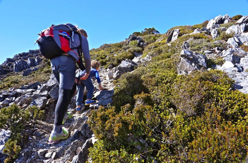
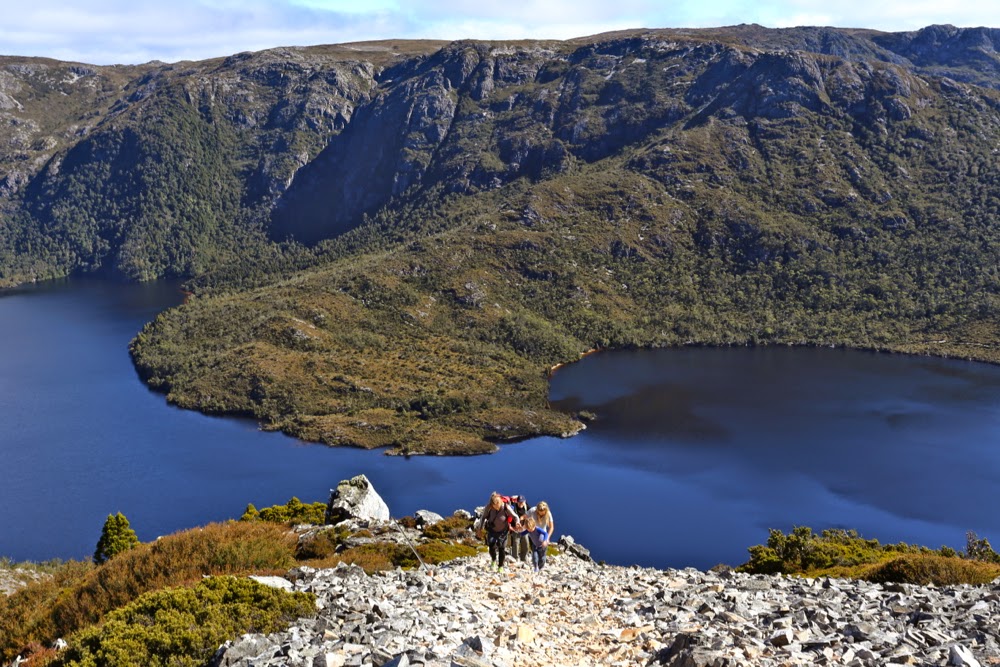
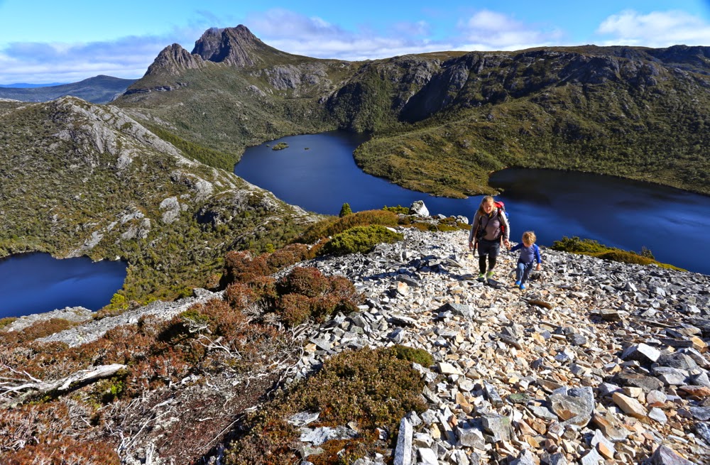
Mt Campbell: Gussy’s first Abel.

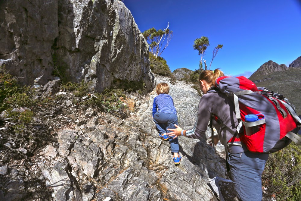
The steps are big when you’re three

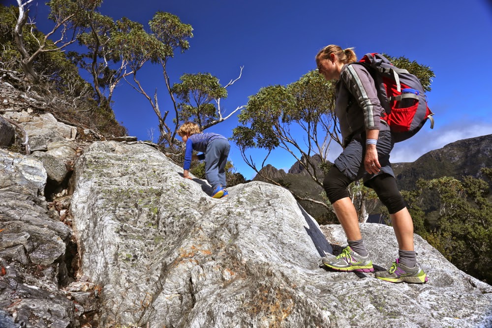
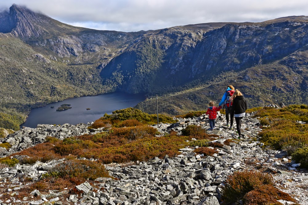
This weekend was my birthday, and it was my birthday wish that we have a family weekend at Cradle Mountain, and that we see if Gussy could climb Mt Campbell. I also wanted to climb Mt Kate with at least one of my daughters (and, considering babysitting duties, it would probably only be one), and to see Guss’s delight at his first huge smorgasbord breakfast (he being a gourmet in midget disguise). I hoped to show him wonderful animals and beautiful forest, but these things were secondary to the other wishes.

No wonder he was hungry by the saddle

Little Gussy has been to the summit of quite a few Tasmanian mountains, but he’d hitched a ride in a sling or papoose. I wanted him to actually climb his first peak, and I wanted that peak to be an Abel for sentimental reasons.

Trying his hand at a spot of off-track

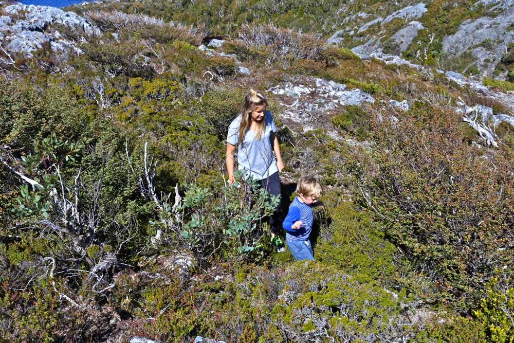
His generally preferred style

In planning, I tired to view Mt Campbell through three-year-old eyes in order not to over-tax him. It didn’t seem too steep or too demanding or too long (as an athlete, I’d run from carpark to top in 20 minutes, so regard it as a pimple). I awaited the weekend to see if it would work.

Whilst Campbell seems to me just a nice mole hill, something you can run up in a jiffy, from the height and musculature of a three-year old, it is actually quite daunting. I saw Campbell through different eyes this day.
Guss needed a rest by the first saddle, which he took 32 minutes to reach. I think some walking club groups might take that long. He was doing well. His appetite in that protected bowl with a lake out each side was prodigious – he ate a salad roll, wallaby bites and shortbreads. The climb thus far had obviously worked up an appetite.

Tummies full again, off we set. He made it to the top in a shade under 60 minutes from the saddle, which included another much-needed, yet short, food break at a lookout rock maybe half way. At the end of the steep section, but before the summit, he plonked down on the ground, ready for more food treats. I thought he’d had enough. Yelena wanted to touch the summit, so I suggested she go there while we stayed with Guss. “No,” he said, “I just need food and then I can touch the summit.” I was surprised and thrilled – thrilled that it was his own initiative to actually complete the job to the end. He’d done the climb. In many people’s books he could be said to have climbed Mt Campbell already, considering he was about two vertical metres below the summit; he had the summit view, and had gained considerable height, but he knew the real top is where the cairn is, and wanted to be there.

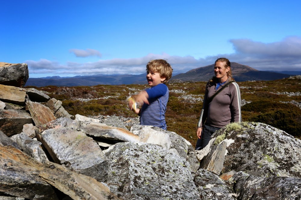
Hoorah, the summit. Let’s just throw a rock.

The long trip down begins
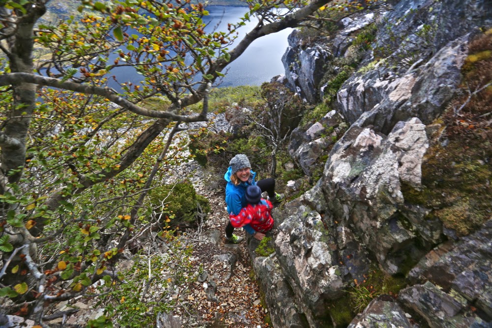
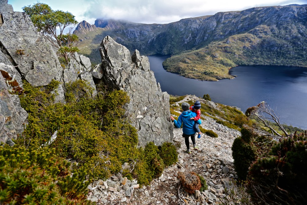
In my calculations and imaginings about whether he could do this climb, I had never considered the way down, assuming the difficult part would be the exertion of the ascent. However, job done, summit achieved, little Gussy had had enough. He wanted a cuddle – continuous cuddle – and he wanted that cuddle to be with mummy. Have you ever tried descending a very steep slope with a wriggling 19.5 kg mass half obscuring the path ahead? I had thought Mt Campbell was a toddler-suitable mountain. I realised as we descended that it was not. It is only because my daughter is an exceptionally strong and capable sportswoman that she managed to descend that slope with a tired child wrapped around her. (She was also, at this stage, pregnant with number two).

A bit tricky here

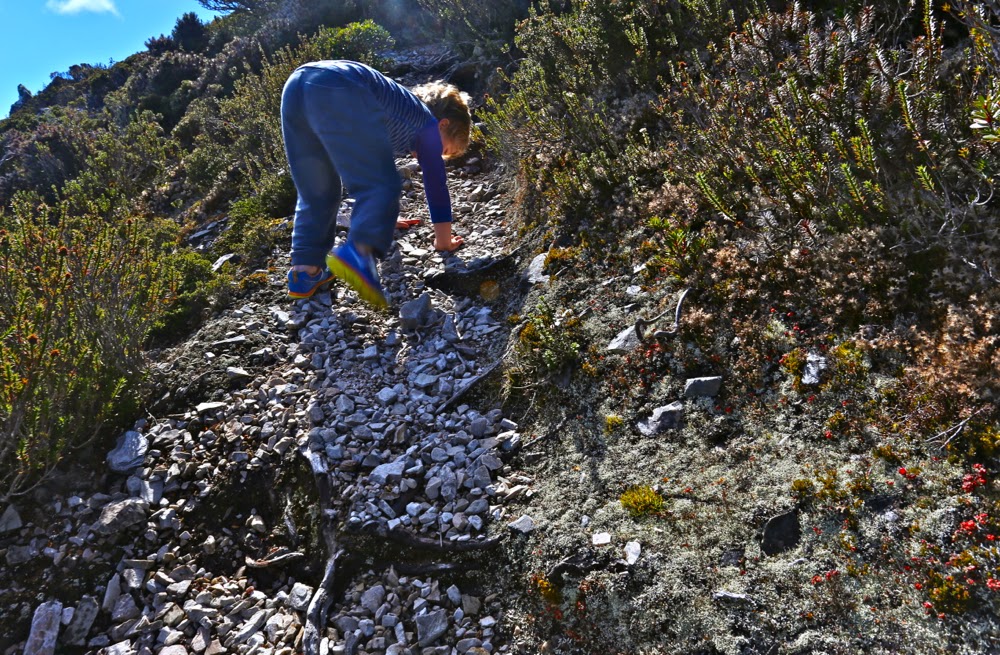
He was unnerved by the angle of the drop and by the way the scree gave way under his feet. At several points we had to pass him down as in a pack haul. Once he was at the saddle again, however, he cheered up (more muesli bars and chocolate), and made it to the end with the promise of being allowed to throw stones in the lake to lure him ever onward. The final hundred metres was done almost at a trot. Any time since, when asked if he liked climbing his mountain, the answer has been an unequivocal “yes”.

Kate 2015 Mar

Mt Kate Mar 2015

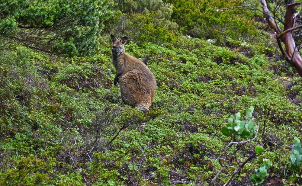
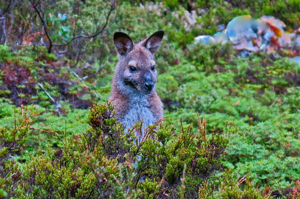
The current Abels Vol 1 book claims that Mt Kate is “uninspiring”, but I’m afraid I find that an insult. For sure, Mt Kate is no Matterhorn or Cradle Mountain with distinctive shape; she is no Lightning Ridge or Striding Edge with high drama; no north face of the Eiger offering to kill you if you slip, but if you don’t need your life filled with histrionics, then Mt Kate’s quiet beauty has enormous appeal at a different, subtler level. Possibly it helped that we climbed her in the mist and drizzle, but my daughter and I delighted in the variety of greens, the contrasting red seedpods of the Bellendena montana (mountain rocket), the shy Bennets wallabies having a peep at us from the security of a Bauera bush behind which they could retreat if needed, and the plethora of pencil pines in the area, the highlight of which was a grove in the saddle before the final collection of contours leading to the summit.

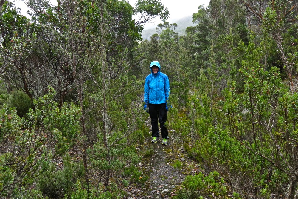
This is what the early part of the track looks like

We were rather thrilled to be climbing Kate in misty moisty gloom. The lack of visibility added to our sense of adventure. It’s fun climbing mountains with either of my daughters. Today Auntie Lena was minding Gussy; Kirsten came with me. We found the directions at the start to be a little ambiguous, and it didn’t help that I was, as usual, in a hurry to be climbing. It seemed counter-intuitive to head east when the summit was north, and to be on contour when we were there for the express purpose of climbing, an activity that we both delight in. I thus made two false moves, each time following wombat pads that headed to where we wanted to go, but which petered out after 50 or so metres. It also does not help that there is a sign that says “Mt Kate” pointing to the incorrect path, whilst the path you need says “Track closed”. Disobey all these instructions provided by the signage and you’ll get there.

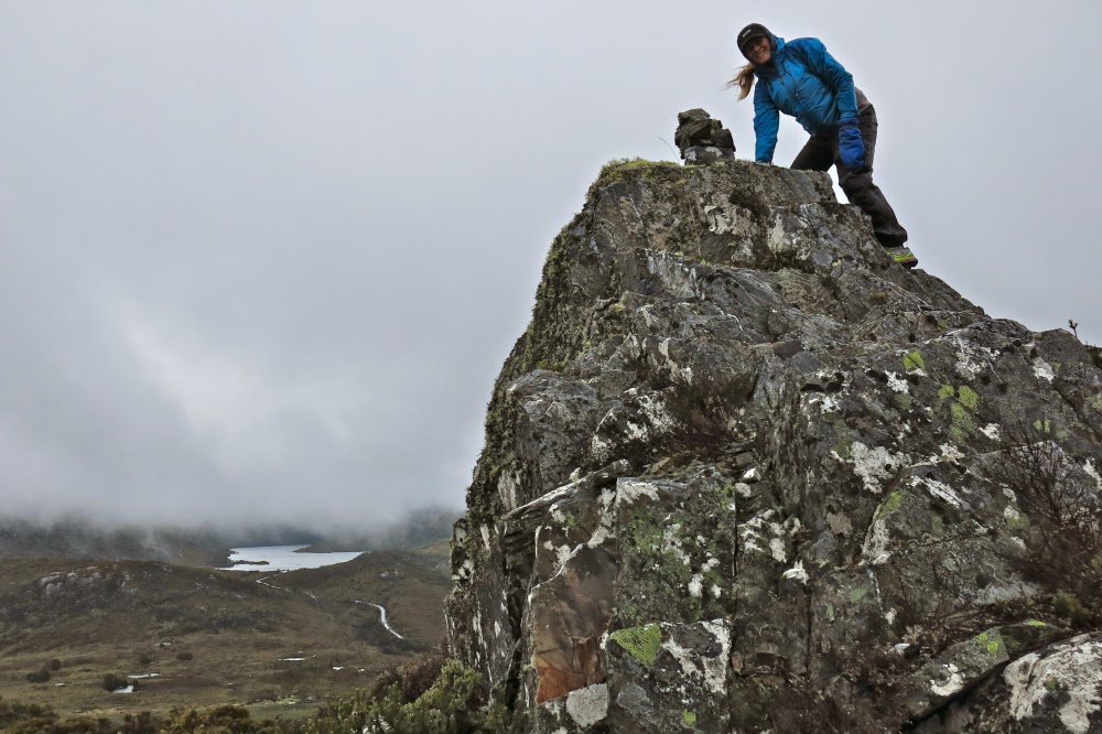
First cairn on the rocky outcrop


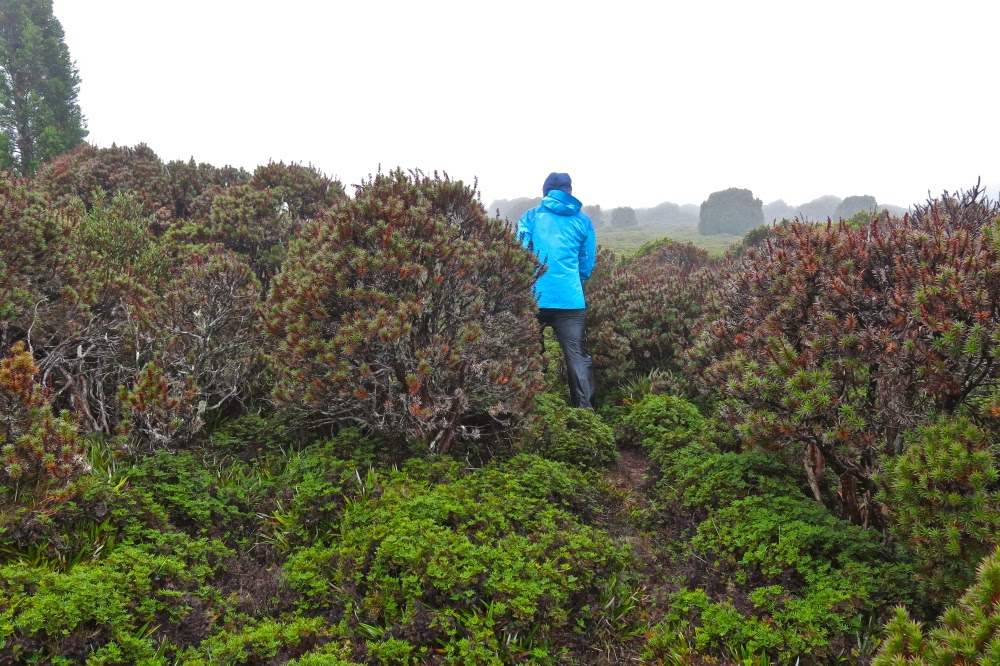
This is how it looked traversing north. Mt Kate is somewhere up ahead in the mist
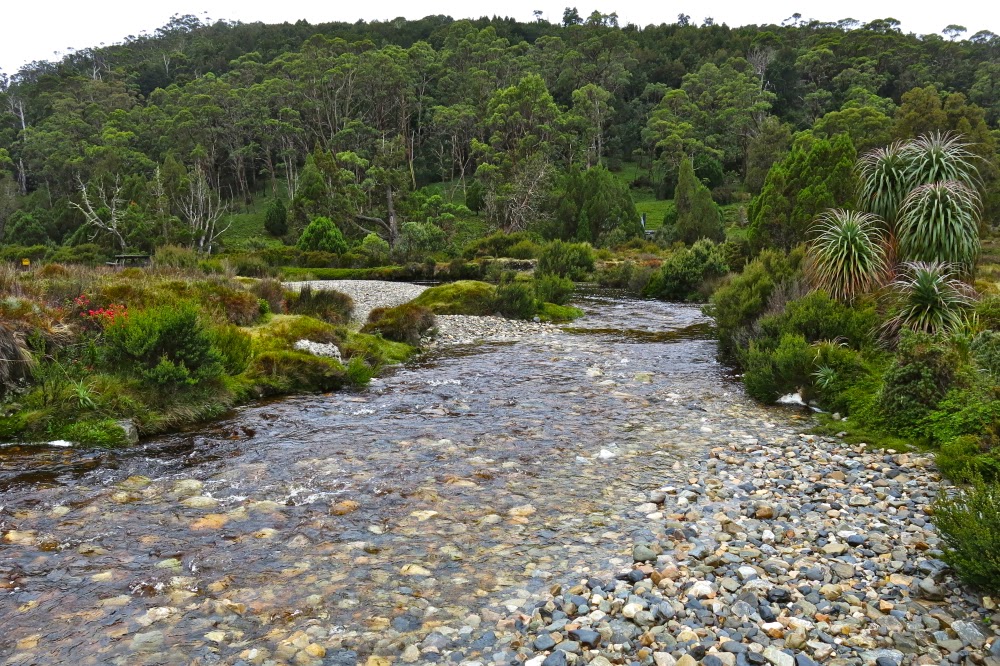
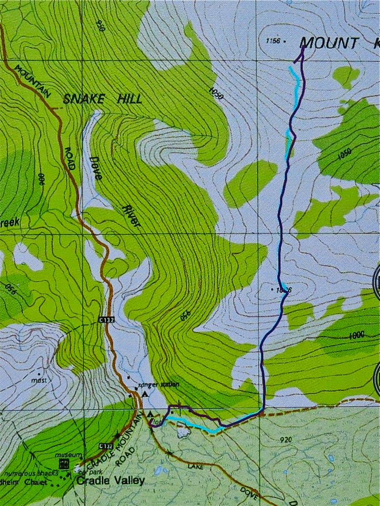
So, cross the river using the car bridge. Cross it again using a footbridge and then, having taken the path that says it’s closed, you’ll cross water again – this time a small tributary. Continue on the boards until stairs appear, leading up to the second of the wooden cabins above. Turn right (east), heading more or less for a small mound. If you’re on a pad and keep your eyes open, you’ll pick up tapes soon after the mound, and then you’re on your way.

In the pine grove

After walking for maybe ten minutes, you’ll find a 30 cm high cairn and, although the old road you’re on continues east, you depart on the ribboned route heading now north and climbing up through lovely myrtle forest until you see a huge cairn on a rocky outcrop above, which announces that you’ve now finished part one of the climb.

The cairns (of which there are three) are rather fun, and even in mist with no visibility, are worth exploring. However, if you’re intent on the summit, then resist the temptation to visit the other two (or, do as I did and go there but then return to the first one). A pink ribbon assures you that the way forward is not via the other cairns, but through the shrubbery, heading north to the broad saddle through wombat-sized paths of lesser resistance.


Once in the saddle, the alpine vegetation becomes ankle high and is delightful to walk on. Wombat scats in abundance suggest this would be a great place to bring children in an evening for wombat spotting. Enjoy it while it lasts, for soon enough the bush returns to thigh high. However, a treat lies ahead, in the form of a magic fairyland grove of pencil pines, one of which had the widest girth I have ever seen: grandpa pencil pine, standing tall and proud, surrounded by lesser minions. Sadly, off to the right skeletal forms reaching for the sky suggest larger, former dimensions to the grove.
 Approaching the summit cairn

The end of the pines marks the start of the final collection of contours that lead to the summit. The dark shape of Kate was there for us, just visible through the mist, but the summit cairn took us a bit by surprise, coming earlier than we expected, but then, time flies when you’re having fun, and we were both enjoying our little adventure in our own private world, made so by the thick mist.

Returning home after the summit photos, we were aware of the potential for error. Mt Kate is so flat at the top that it would be very, very easy in the mist to be lured into the wrong direction. Don’t venture up here without map and compass, or gps. Tasmanian weather can be dangerously unpredictable. We needed to check direction several times on the way home to make sure we didn’t veer off path. There are so many wombat pads that the path you are on is not necessarily the human one heading home.


Beautiful Ronny Creek, at the end, looking up one of the ridges that leads to the summit of Kate.

I had worn old waterproofs that I’d ripped to shreds the week before on the Mt Anne Circuit. We both arrived back at our cabin pretty sodden, but very pleased to have made the acquaintance of a new mountain. I’ll be back sometime within the next year to check her out on a day with visibility, but I have the feeling that seeing views will add little to my first impressions of a happy outing on Mt Kate.

The purple track is our outward route, with errors. The cyan track is the correct route, and the way we returned – see notes above. Note, the highest point (and thus the summit cairn) is not the black dot on the map which I suspect is as random as many of the tracks are.