Stacks Bluff Wilmot Bluff Jan 2014

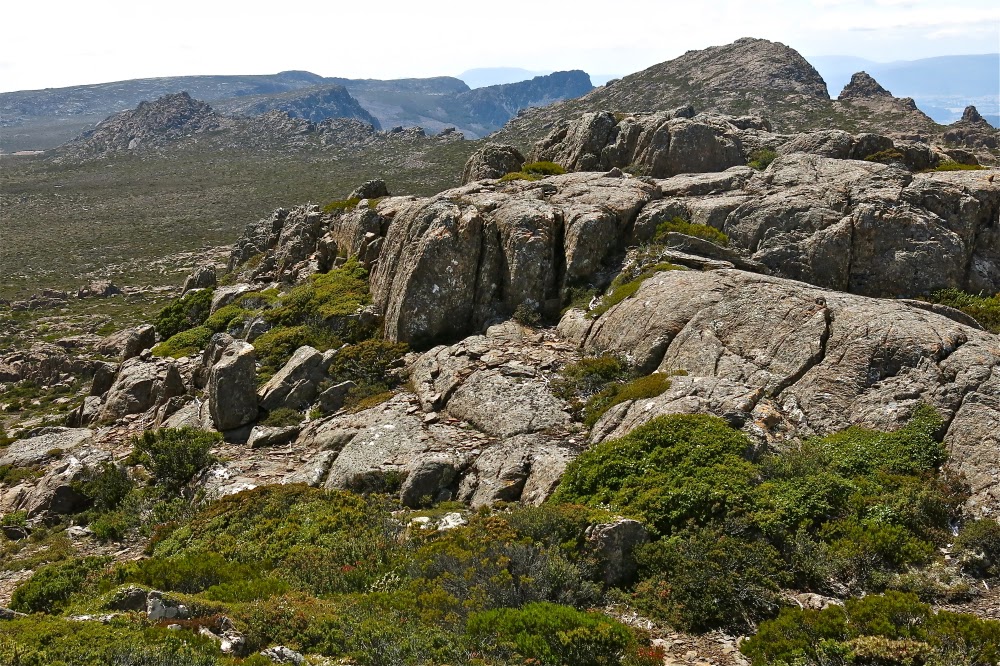
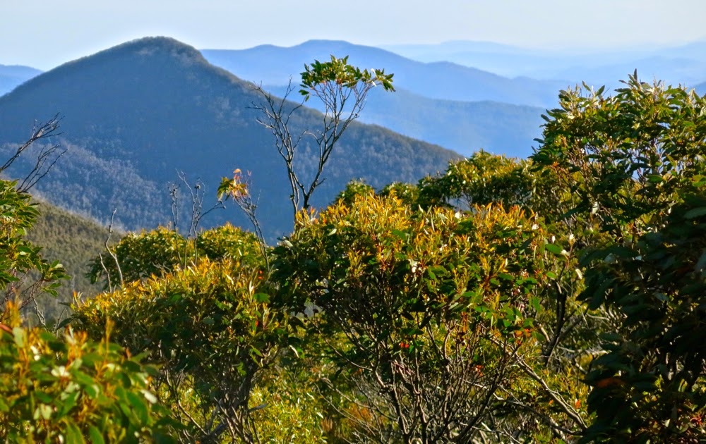
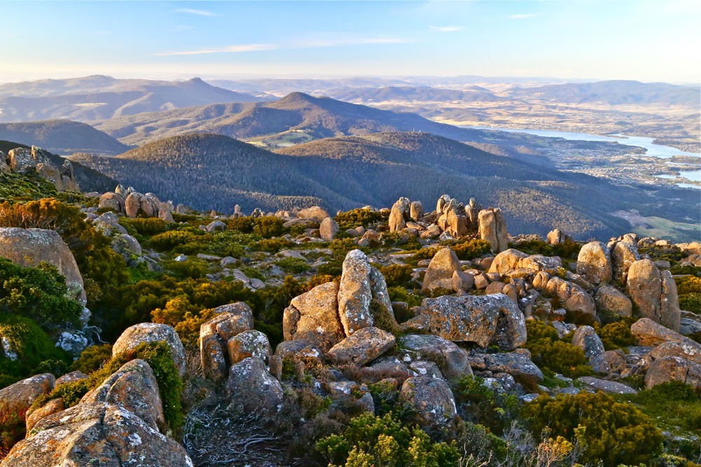
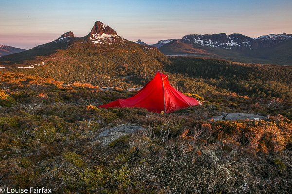
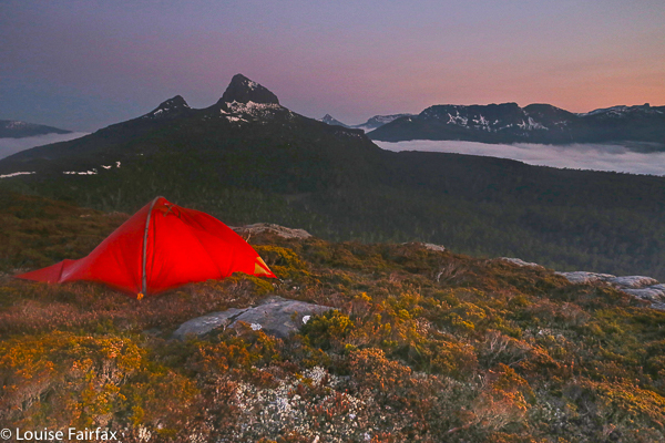
Looking back from whence we had come: to Denison Crag and Storys Bluff (inter alia).

The doctor at the hospital who had operated on me frowned severely: “You’re not to do anything dangerous with this cast on. If you bump the pins holding the wires in your hand, the situation will be disastrous.”
“I’ll just be walking, ” I quipped in as meek and subservient a voice as I could muster under the circumstances.

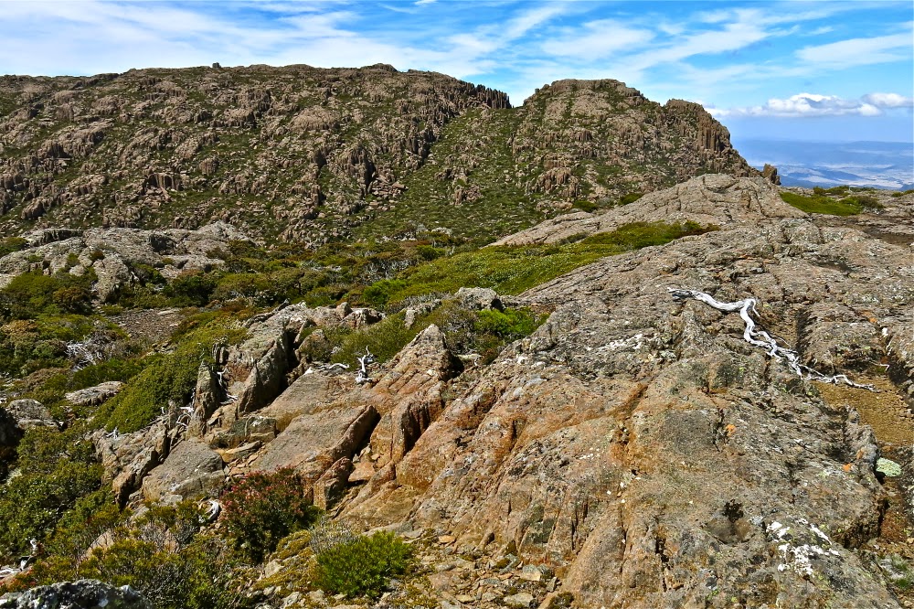
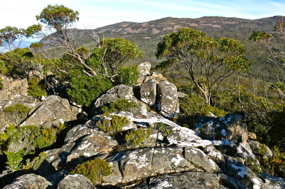
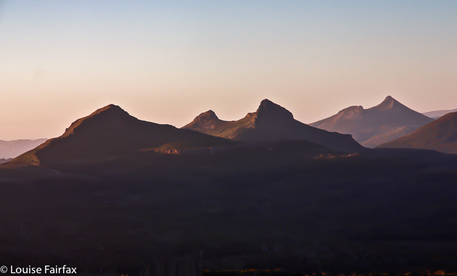
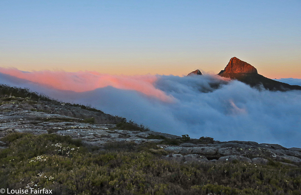
Stacks Bluff from Wilmot Bluff.

I wasn’t totally foolhardy: I had backed out of my planned six-day venture onto the southern ranges and exchanged it for a tamer three-day bash to Mt Sorell, but this had been cancelled due to flooding of a river we needed to cross. What was I to do? The thought of another weekend cooped up without a mountain was unendurable. I was craving a mountain with a need as strong as that of a growing plant for water, but with a broken hand, I would prefer the security of company. Then I noticed that Boots ‘n All were going up Stacks and Wilmot Bluffs, neither of which I’ve climbed. Perfect. I was ridiculously excited, like a prisoner released from gaol after a false conviction. At last my January mountain-drought was to finish.

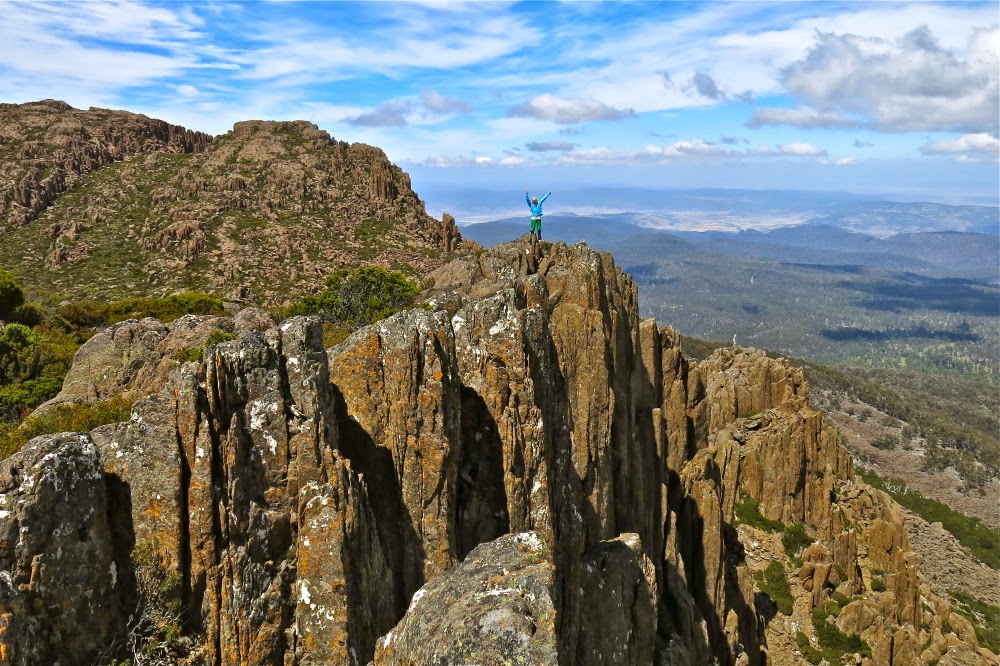
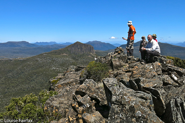
Kind of a selfie, as the mild exposure en route to where I was now standing was a little off-putting, I set the aperture and speed to what I wanted, went there myself and got a friend to go click.

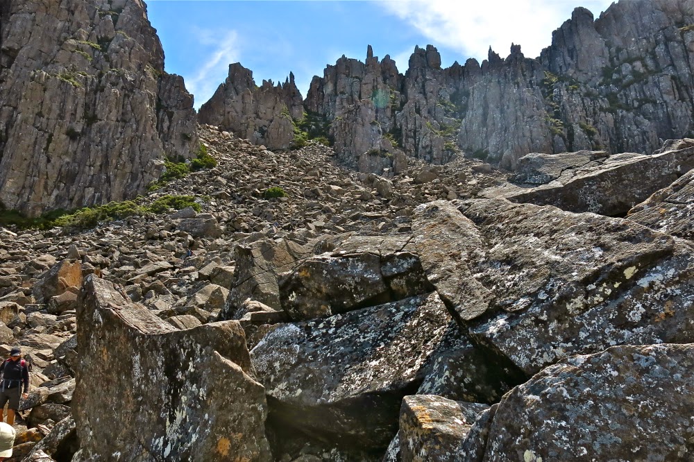
As I boulder hopped and noted the drops below, I spared a thought for the poor anxious surgeon who would find my activity dangerous. “Dangerous” is a very relative term, but I could tell that that medico envisages it as absolute, and that he had acquired defining rights. I jumped over the next crack, landing with ease onto the waiting boulder and pondered the relativity of words like danger, safety, risk and health. At lunch we had had a talk about freedom and how we gain true freedom. Americans use this word a lot, and yet your freedom (to own a gun, for example) can mean my thraldom to death; one can be so obsessed with one kind of freedom that one becomes a slave to that notion and loses real freedom in the process – and so it is with safety. A timorous pursuit of safety can lead to a lifestyle that is unhealthy and, thereby, unsafe from a different perspective.

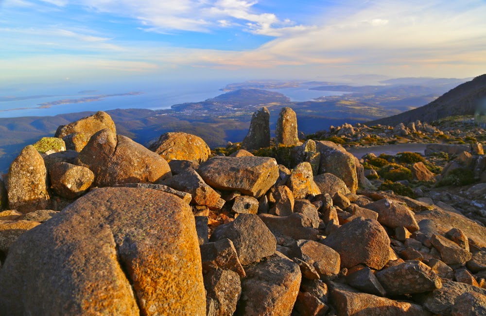
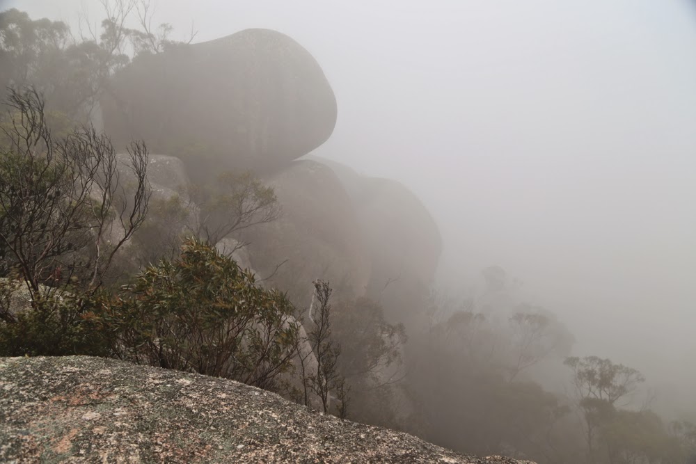
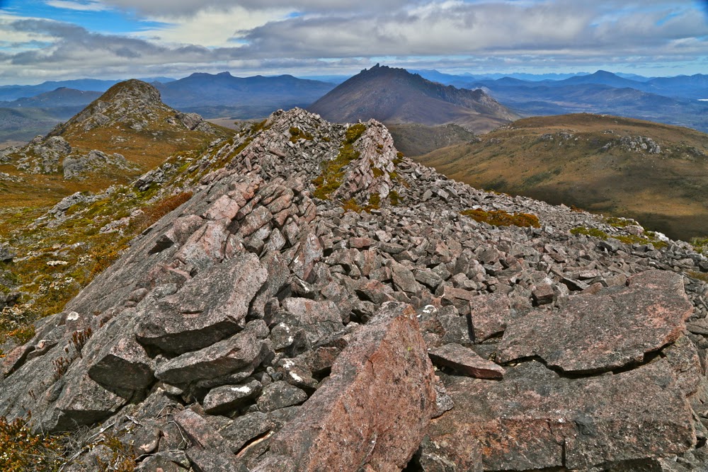
How I love the jagged drama of these rocks.

It was a grand day: glorious scenery, a fun climb and great company. I returned home physically and psychologically refreshed.

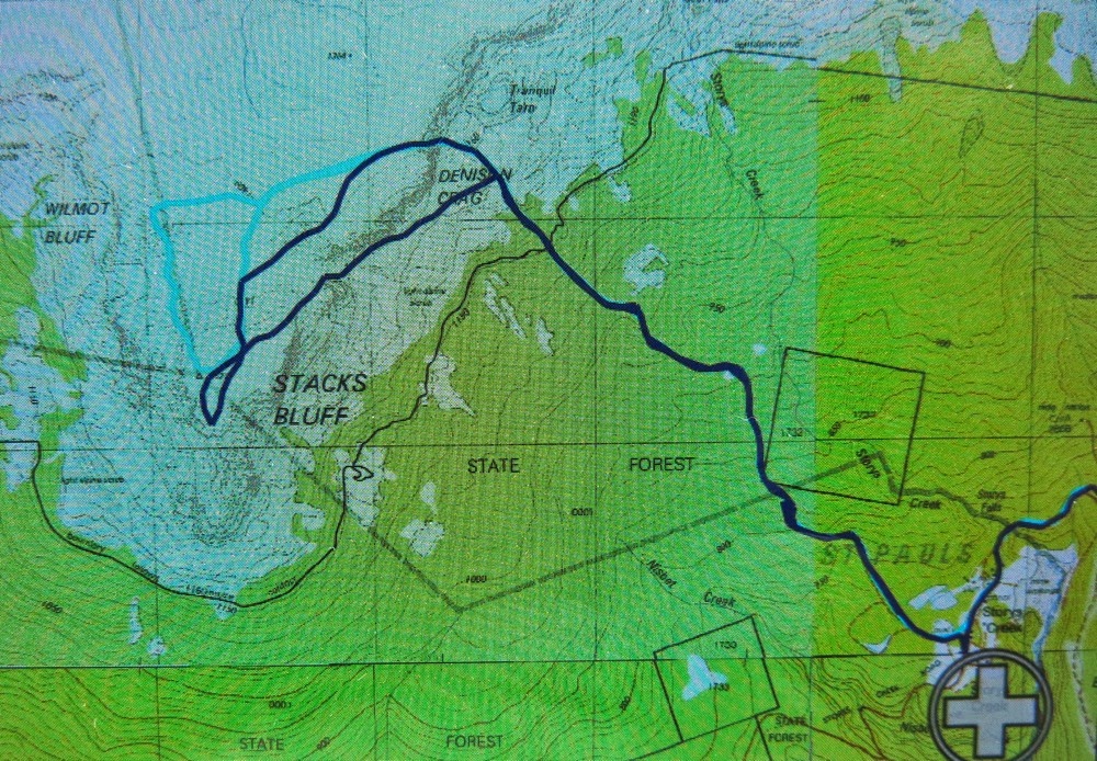
Two routes for the price of one here. Yesterday’s is the cyan route, partly obscured by the purple, but visible if you search.


Connection 2015 Jan

Mt Connection Jan 2015.

Mt Connection, view
The photos of Mt Connection in this blog come at a high price. Earlier in the day, I had done an orienteering race, in which I was (as one does in this sport) running along at high speed, reading my map closely as I did so, solving navigational problems and checking off landmarks in my peripheral vision, when I tripped over a 10cm-high obstacle and went flying. My first instinct in falling is always to protect my irreplaceable Swiss compass. This I did magnificently, but for the second time in my life, broke my hand whilst saving the compass. I really must stop this habit.

View back towards Wellington
Nonetheless, having promised to drive to Hobart and collect our daughter and toddler, I duly drove south, undeterred by the nausea I felt post-smash, planning to run to Mt Connection and back before dusk, photograph sunset on Wellington, eat some fine Hobart cuisine, camp high on Mt Wellington, photograph the dawn and then collect my family. The photos here are from the Mt Connection phase of that plan. I enjoyed my time on the mountain, despite the pain.

Unfortunately, only half the programme got completed. On the way back up Mt Wellington after dinner, I passed out and drove into a deep culvert at the side of the road and now our car is more smashed than I am. I guess I’d been in shock but only realised it after the event. We were rescued, but were not finished with towing until 2am.

After running to and from Mt Connection, we watched sunset from Mt Wellington

(My chosen route up Mt Connection was via the fire trail that departs from the Big Bend near the summit of Wellington.) I am now typing slowly with one hand. The surgeon operated yesterday to rejoin and untwist the severed bones. You’ll be thrilled to know that I got in another O-race and climbed another mountain before the hospital system put me under GA.

Freycinet loop 2014

Freycinet Loop 2014 Jan
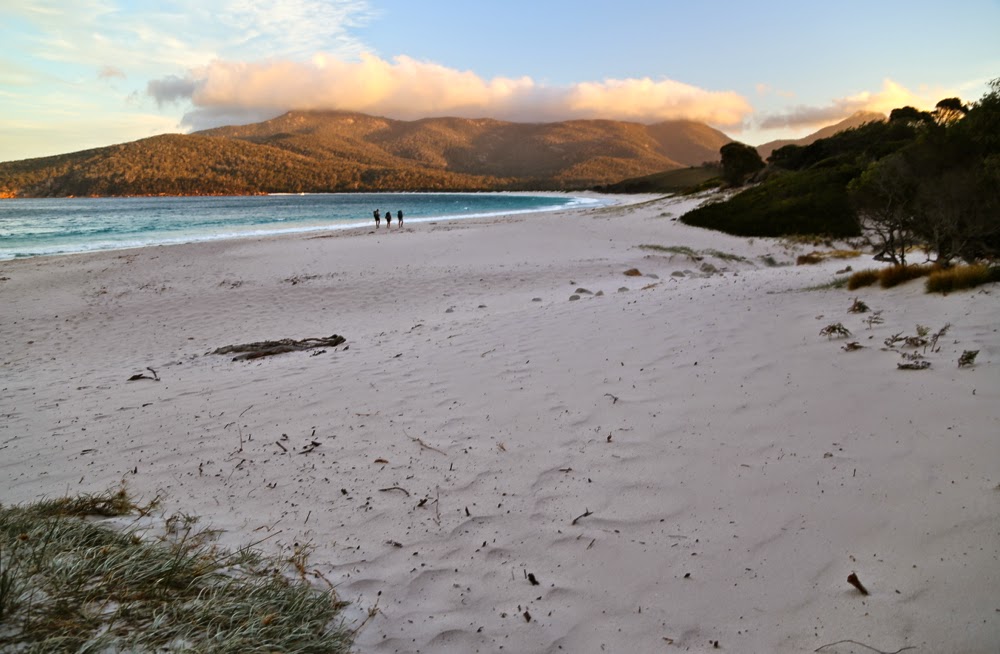
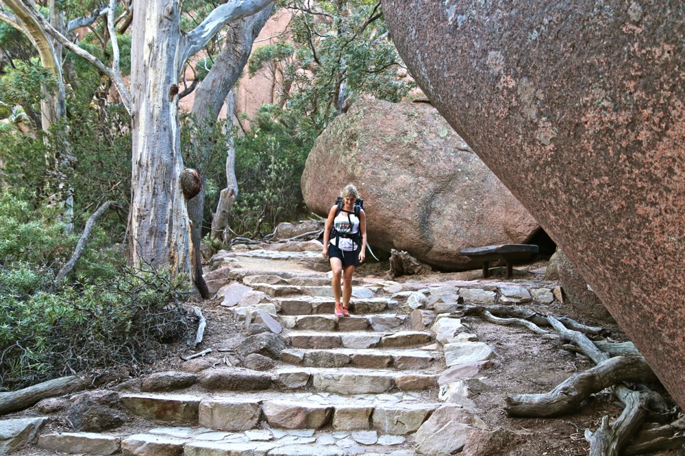
The others continue while I loiter to photograph them walking

It seems we must think that Freycinet is the very best place to introduce someone to bushwalking. When our children were 7 and 9, the Freycinet loop was their first overnighter, held as a warm-up to the Overland Track that they did about a week later. (They did other overnighters before this, but they got carried. This was their first self-propelled effort where they carted their own gear). Our grandson, little Gussy, had his first overnighter (in a papoose) here Dec 2011, and now this year, we took Jon (our daughter Yelena’s boyfriend, (Post script – now husband) on his first overnighter. We thought a cute little 33 km hike over a mountain and then a bit extra to get the tents we’d left at the first camping ground would be a nice introduction for him.

Yelena begins the descent from the saddle to Wineglass Bay

No one doubted Jon’s ability to do 33kms ++ in a day: he’s a sporty fella, but he hadn’t carried a big pack before or done the overnight bit, so we were keen that he should enjoy it. He went famously, and – despite deplorable weather – coped well with the distance, the pack, carrying a three-man tent (our only spare), the mist, rain and furious wind, and the fact that views from the tops were non-existent.

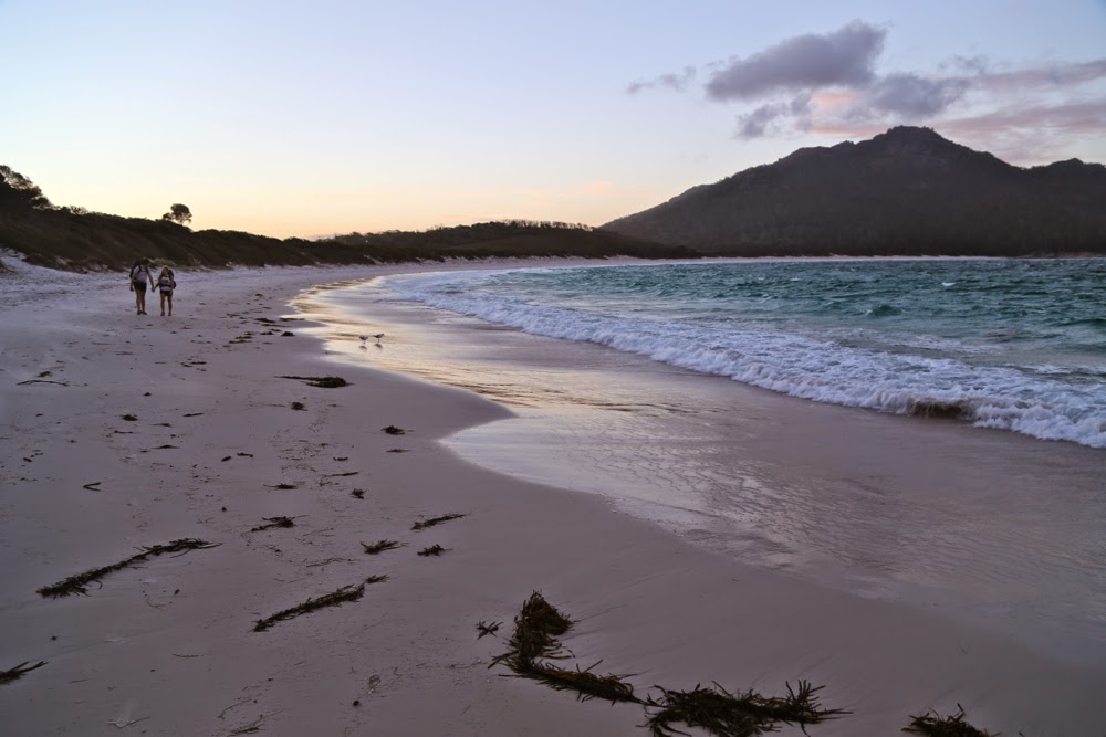
The cute duo arrives as evening light illuminates the water’s edge

We set out for Wineglass Bay after dinner on 28th, knowing that it wouldn’t take us long to get there, and we were right. One hour’s walking saw us up and down the saddle and along the beach to the base of the stairs that ascend a sand dune that announces the camping area at the far end of the beach. We had described to Jon sparkling, cerulean waters of “pure gin” as my IG friend Dietmar Kahles puts it. What confronted him on the beach were rough waters, angry waves, a wind that whipped up the sand to bite the legs – most unusual weather for this region. Nonplussed, we pitched the tents and assembled in their large one to play cards for the rest of the evening, hoping for an improvement in the weather next day.

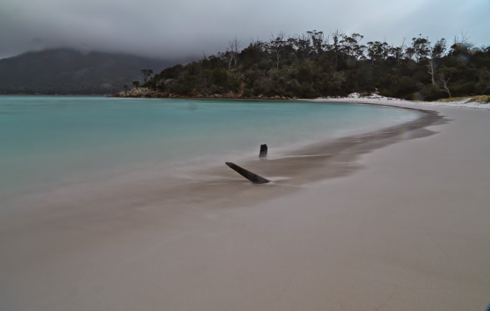
Pre-dawn beauty

At 5 a.m. when I arose to photograph the dawn (rather reluctantly, it has to be admitted), the wind had mostly abated, but thick mist enshrouded the mountains and flirted with the waters. I took some long exposures and returned groggily to the tent to wait for breakfast time. During the night (3.30am to be precise) there had been a bit of noise from my daughter in the tent next door. I had warned Lena and Jon to put all their food inside their tent. They presumed that putting it in secured packs in the vestibule would be enough. At the hour stated above, they heard a wallaby or possum (it didn’t hang around for full identification) having a tardy midnight feast of muesli, chocolate and macadamia nut bar, all intended for later that day. We had laughed when Bruce arrived at the tent for cards clutching his little bag of food for protection, but perhaps he had the last laugh here. Luckily I’d brought enough extra treats to cover for the marsupial greed.
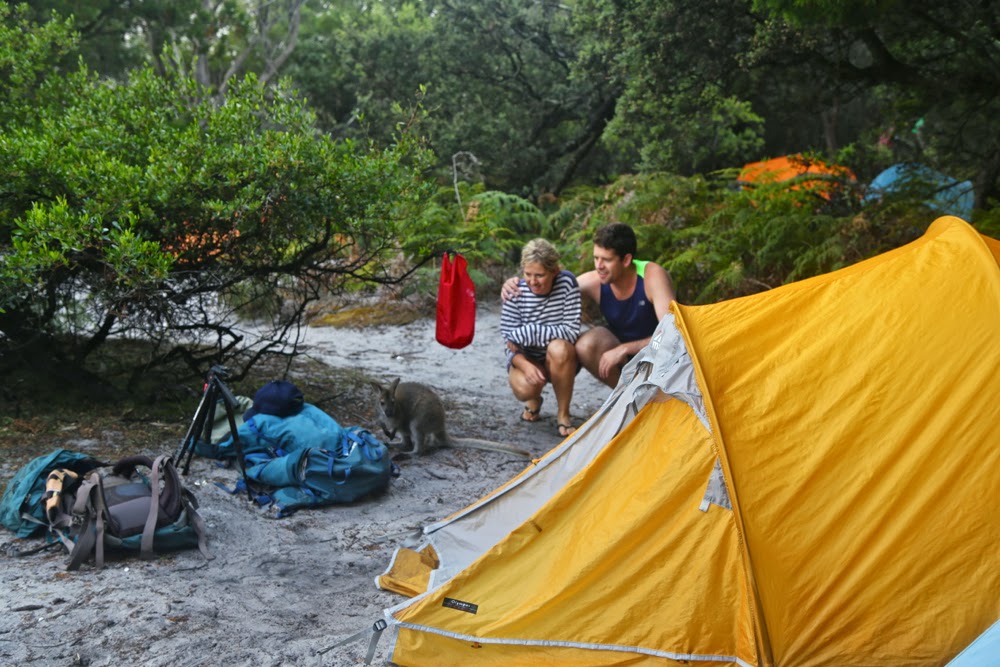
Lena and Jon being far too nice to a possible thief who thinks that looks can exonerate the crime.

By 8.30am we were off up the misty slopes with trees being intermittently revealed as fog chased its tail around them. There were no views. My husband accompanied us for an hour but then quit while he was ahead, leaving three to complete the rest of the walk.

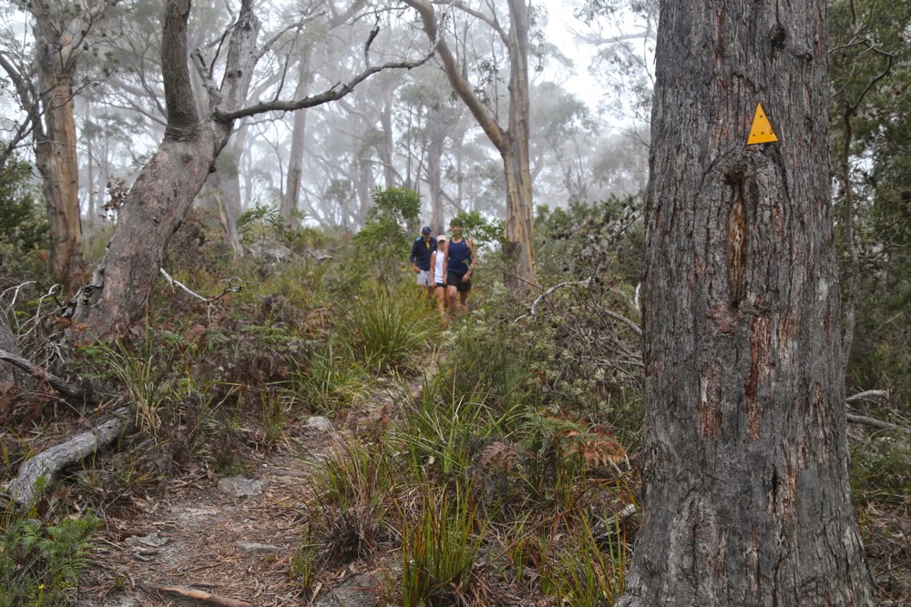
Early stages of the loop

 As we walked along the tops, surrounded by a thick grey, moist envelopment, I described in glowing terms to Jon the mountains and beautiful blue waters he should be seeing. Yelena wanted to show him beautiful Tassie, so was disappointed, but did admit that the mist was atmospheric. The wind was wild enough for us to have that “Wuthering Heights out on the moors” feeling, but not strong enough to be unpleasant. At one stage I informed them they were now on the summit of Mt Graham; at another, that there was a saddle about a minute below us. Visibility was so poor that neither fact was self-evident.

It is tradition to stop at this exact spot each time we do this walk to gaze with wonder at the view, which is, under normal circumstances, fantastic.

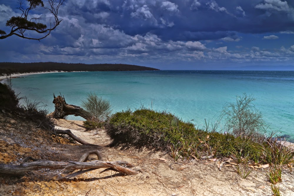
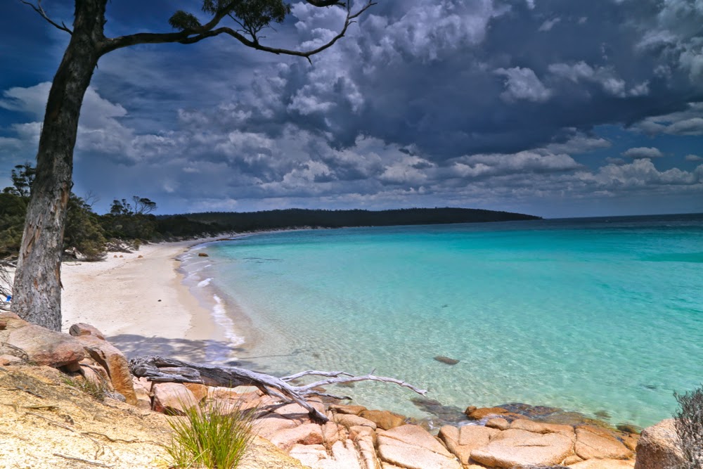
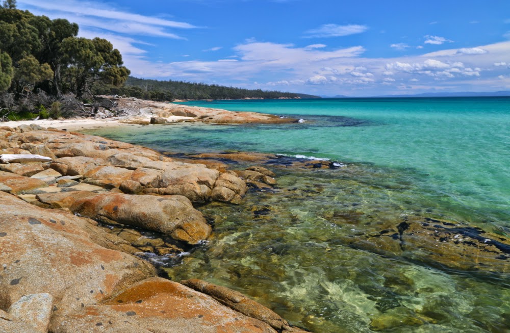
However, as we neared Cooks Beach in time for a swim before lunch, the day was absolutely perfect, with the promised and much-spoken-about blue water, liquid jellyfish, was shining as if bad weather had never existed. Lena and Jon swam while I photographed, and yet even while I did so, you will see from the photos that clouds were amassing to the west again. By the time we arrived back at our tents having completed the circuit and then come back on Wineglass to pick up the heavy gear, the wind was whipping the waves up a fury, and sand was stinging our legs. Even so, everyone except yours truly had a swim, and then we depitched tents and did the beach yet again, with a little less enthusiasm and energy than the first time.
The whole way home we were treated to the most fantastic skies – a dirty golden background with steely grey clouds in layers, with silhouetted gum trees in the foreground. However, we were tired, so I didn’t hold everyone up taking more photos. Those are the day’s fish that got away and will just have to live in my memory and not on a screen. They were fabulous.


Moody skies returned at the end of lunch

Manfred 2014 Dec

Mt Manfred 2014 Dec


My first close-up sighting of Mt Manfred was on a trip to climb Mt Hugel 2013.
Mt Manfred was one of those shapely mountains that I had seen and noticed right back on my first ever venture into Tasmanian bushwalking, which I had done as a Sydney University student back in 1975. In that year, Bruce and I walked the Overland Trail in an adventure that would shape the rest of our lives. We had done bushwalking before, but this introduced us to a whole new spectrum. We immediately began plotting to move down here one day, and long-distance walking become part of our married existence.


One of the mountains on the horizon was Mt Manfred. How could you miss it? It has such an interesting shape. I never dreamt in my wildest imagination that I would one day climb it, and easily. But in December 2014, it was “merely” one of the mountains on the way to the remote Tramontane. We climbed it one afternoon after lunch on our way to the Murchison River. We had gone past Mt Byron, and over Mt Cuvier (where we slept the first night), and now here we were, climbing an icon. For the full story, see my blog on Mt Tramontane
http://www.natureloverswalks.com/tramontane-cuvier-manfred/


I have put this in to show you the summit view, but really, midday views do not interest me. Someone else took this photo. Manfred is better looked at than looked from. I am, of course, very glad I climbed it, and would love to sleep on its shelf again.

Wright 2014 Dec

Mt Wright 2014 Dec

From the top ridge, looking back towards both the southern summit and The Thumbs.
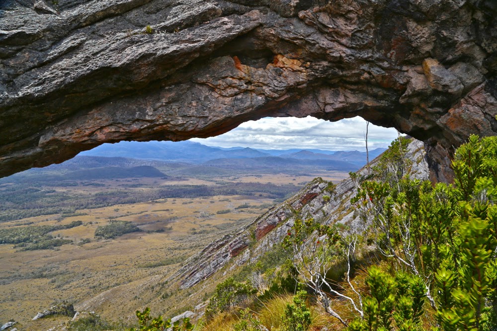
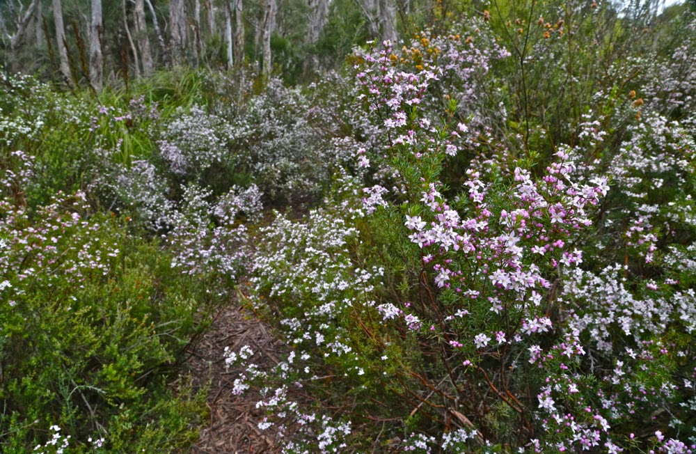
I travelled four hours in each direction to climb this mountain, but left my walking boots in the trunk of my car, parked in Hobart (old gardening sneakers with holes to allow mud in had to suffice); I climbed a mountain that has been on my bucket list for ages; I saw a splendid array of peaks from the top, met new, lovely people and reunited with old friends whose company I enjoy … and yet the single most thrilling impression of this day is not the wondrous vista from the top, the joy of the climb or the seeing of the famous natural arch. Rather, it is a far more tellurian one: our 25cm wide track obscured with a veil of arching swathes of shoulder-high boronia. Each time you brushed a plant, you released the most delicate, welcome perfume into the air. The fragile blossoms of every shade of pink and white waved gently as you passed. I was like Goethe’s “may beetle” (Maienkäfer) floating on a cloud of fragrance.

Weathered striations of rock indicate the steepness of the slope

I had been told by others that Wright was steep, but I tend to just nod when receiving information like that, preferring to form my own judgements in situ. The statistics of the matter are that we gained 745 ms in our main ascent to the tops (at 1112 ms) in a bit over 2kms. The photo of the rock striations probably says it all. Using tractionless gym shoes was not totally smart: I stuck to as much rock as I could find on the way up and had a gloriously fast bum-slide on the way down, clutching wildly at shrubs to prevent gaining too much momentum. My shoe situation reminded of the time I flew to America to race the Boulder Boulder Colorado – 33,000 entrants – as an invited athlete, to discover on race morning that I had brought my spikes instead of my racing flats. That was a somewhat worse error, but solved by the organisers who nonetheless delighted in telling the assembled multitudes as I mounted the dais that I had flown in from Tasmania without shoes for the race. I gave a cheeky grin in response.

The famous natural rocky arch
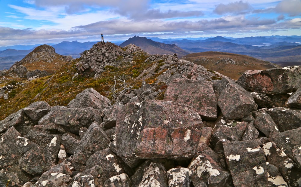
How peaceful it was sitting on the rather small summit of Mt Wright quietly munching our food and surveying the surrounding peaks. The air lacked perfect clarity, indeed, but given that it was raining either lightly or heavily in the rest of Tasmania,  we felt we had been dealt a very good hand. I enjoyed being so close to The Thumbs – my mountain of only a couple of weeks ago – and Stepped Hills, a peak on my fairly urgent “to do” list. Reeds Peak from across the way was also calling with fair insistence. Tasmania has a plethora of wonderful mountains, each with its own cozening siren to lure me and bind me with its spell. Sitting on summits is pretty ‘dangerous’ work, as I just get tempted by a new list of must-do mountains.

The southern summit to the left. David is on what my map says is the real summit, taken from what some gps devices say is the real summit, looking towards The Thumbs and the other mountains of the South West.

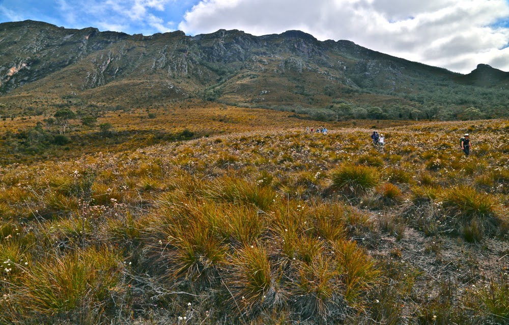
Because of the slippery dip that constitutes this mountain for those who dare and who don’t mind returning home with filthy pants, the descent was significantly faster than the more exerting and laborious (but exhilarating) climb. Feeling full of joy down the bottom, I had a brief frolic, running through the marshy heathland at the base. When I turned around to see the others, what I saw was a delightful file of backlit walkers marching through a field of now-golden button grass, with heath flowers shining like little lanterns. This was my last glimpse of the group as such, as once we arrived back at the boronias, I dropped to last in the line, and the others disappeared out of earshot as I floated on my perfumed cloud and photographed, only catching them again at the cars.

Descending in afternoon light. The mountain looks quite tame from here, doesn’t it. don’t be fooled: it is deceptively steep.

Swathes of boronia cover the path below

Our route. The waypoint is where we left the Rasselas track. The car is parked about one millimetre to the right of this picture.