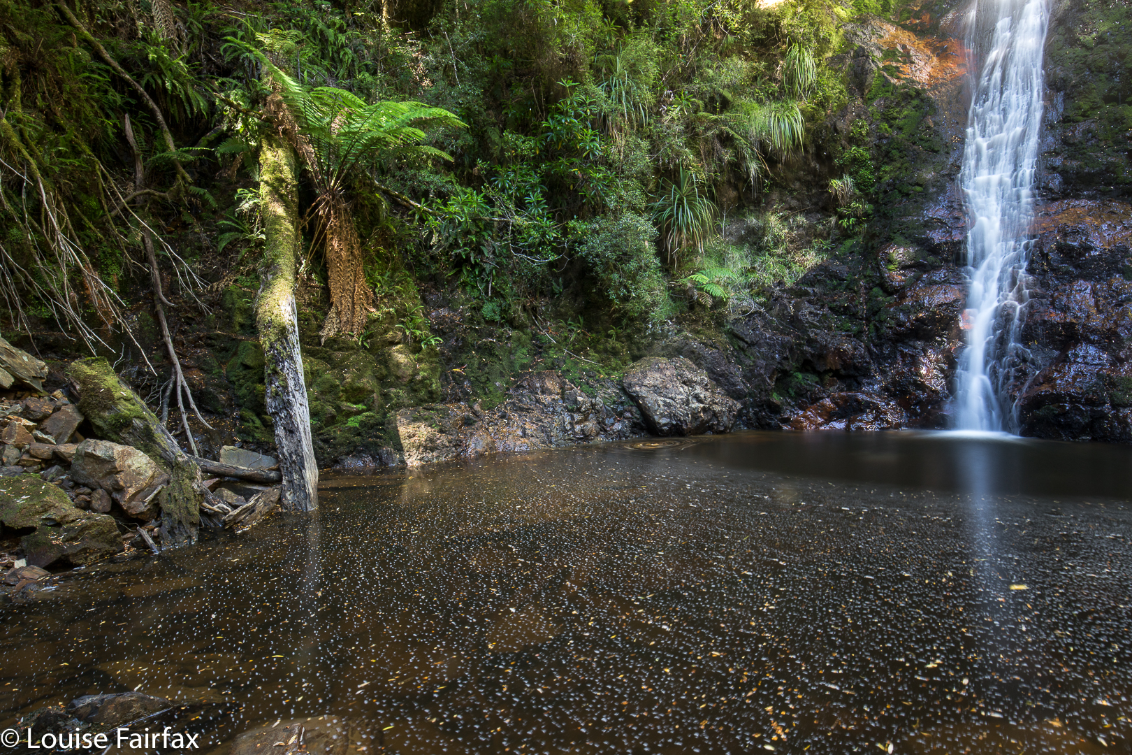
Ironbark Falls, Nevada Creek Falls, Constable Ck Falls 2018

Ironbark Falls, Nevada Creek Falls and Constable Creek Falls. Apr 2018.
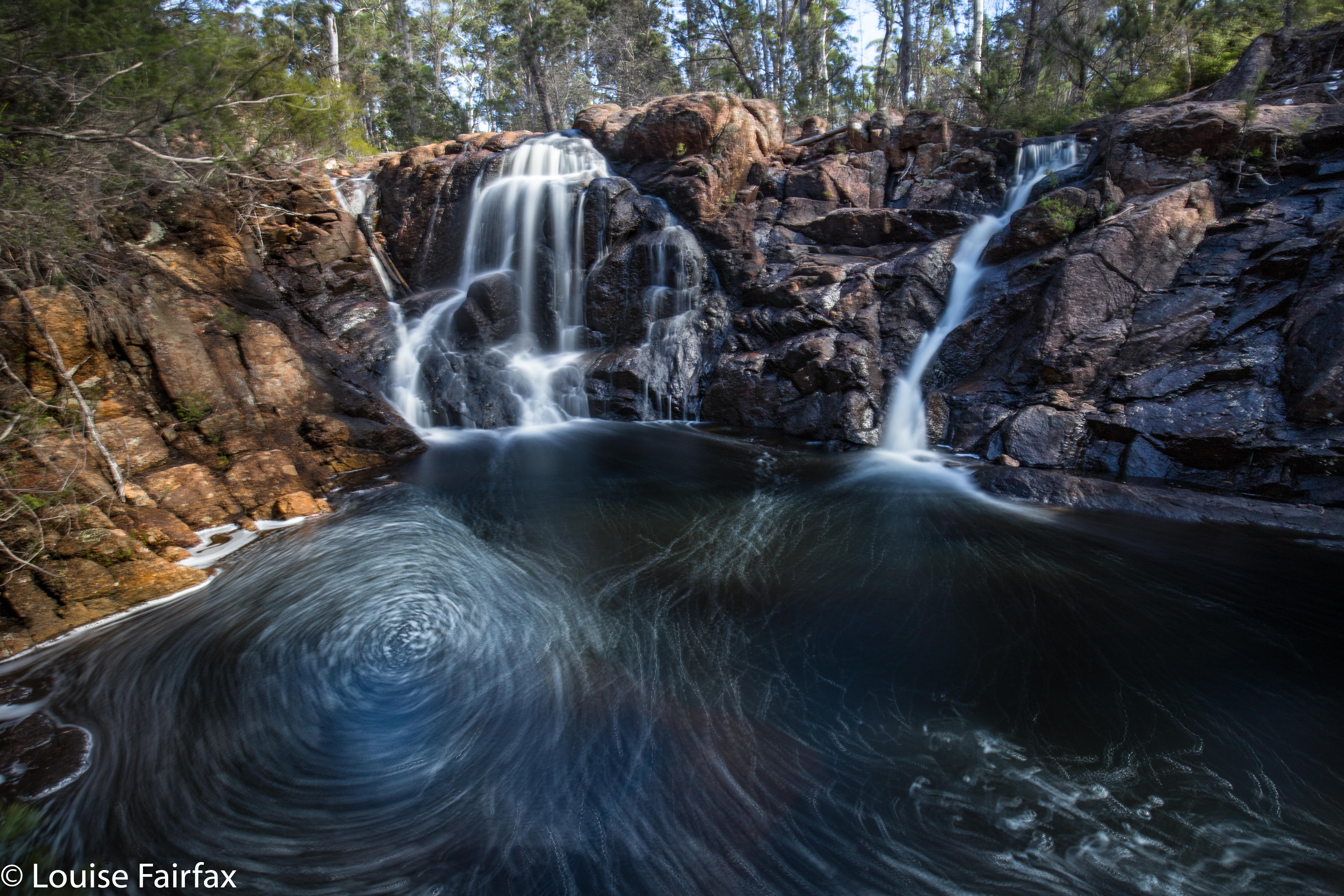

Ironbark Falls
After my huge waterfall bagging spree of Friday, it seemed rather greedy to be back at it again on Sunday, but Craig and I had agreed to go a-bagging again this weekend: the question was, where? We had our goal all worked out, but the weather was so utterly appalling there that I suggested we do the dry thing and explore falls on the east coast instead (Ironbark Falls, Nevada Creek Falls and Constable Falls). Craig seemed to be perfectly content with the idea of getting muddy and saturated, possibly freezing, and having continual droplets on his lens, but, in deference to my wussiness and weakness, agreed to forego these pleasures and travel to where the sun was. I hope he didn’t regret this consent too much. While everyone else was huddling from snow squalls by the fire, we were calling on clouds to come to our aid and cover the sun for a moment or two. While others were worried about hypothermia this weekend, we got sunburnt.

To add to the pleasure of the day, Bec (Craig’s wife) and Tessa (the faithful and fancy dog waterfall bagger) were going to join us. Waterfalls, here we come. The first on our list was Ironbark Falls, that being the only one of the three to be given the glory of an official name. I drove down Argonaut Rd, forked left onto Trafalgar, and continued along it past its official end onto what is then called Transit Rd. We had no idea how this road would be, but were all prepared to walk the whole way if necessary. There were a few ruts to negotiate, but nothing to overly tax my Subaru Forester, and we arrived safely at the spot we wanted.
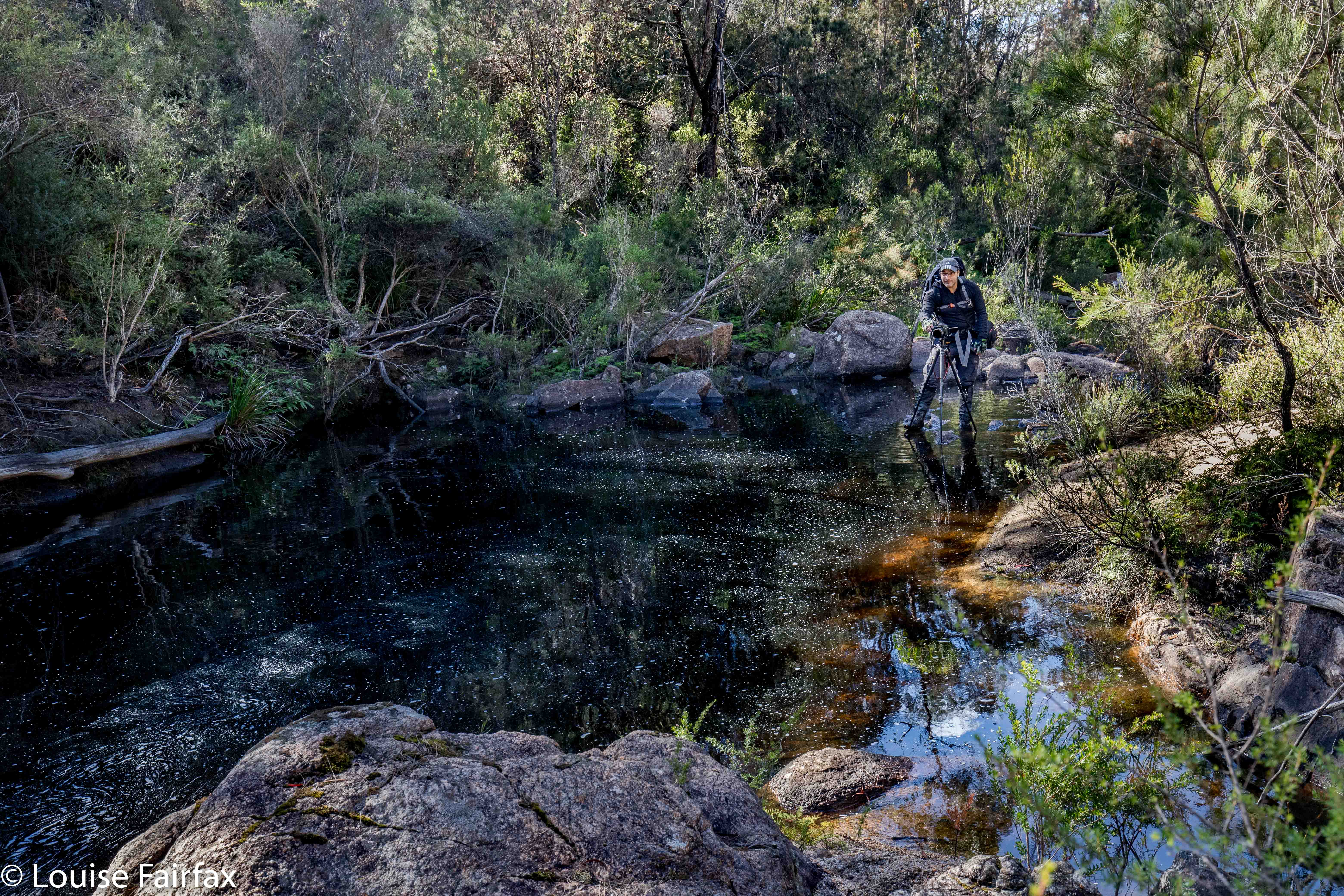

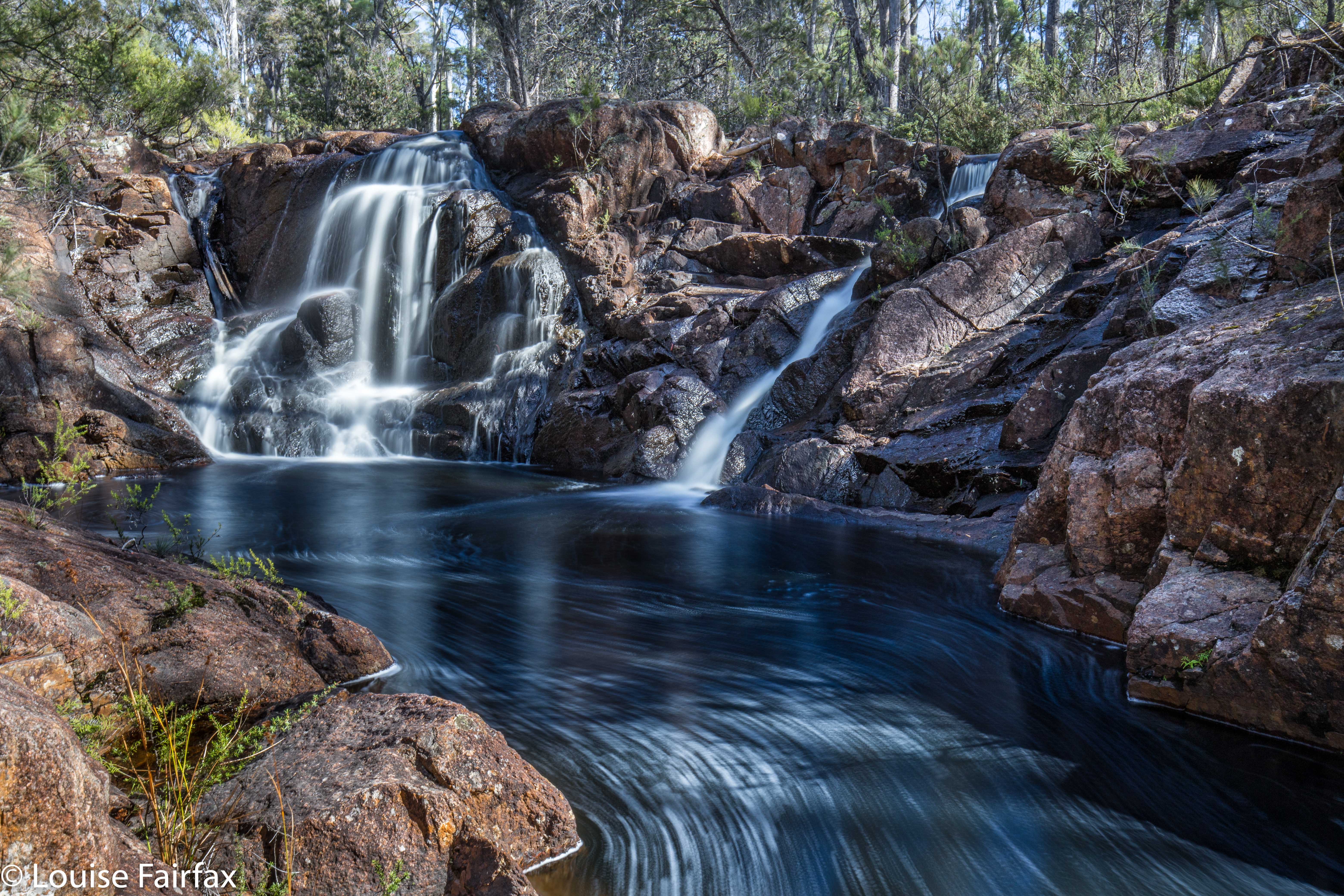
The walk from the car to the falls was sheer delight, the forest being as open as could possibly be, with attractive tors piled on top of each other adding heaps of interest. This type of coastal granite has been the site of many orienteering competitions in my past life, and just being there made me very happy. The walk to the falls did not take long, but was long enough to be pleasing (a bit under twenty minutes). On the list map, the creek looks like a lake at this point, so I was curious to see what it would look like. There is a very wide area of rock, with gently flowing water over it. It was lovely, and had a real “northern territory” feel to it. If you can’t afford the NT, then just go to St Helens. After photographing, we had lunch on the rocks (hoping for a cloud or two to come our way). Tessa had multiple swims, and made up for the lack of rain on the coast by shaking herself regularly near Craig and Bec.

Nevada Creek Falls
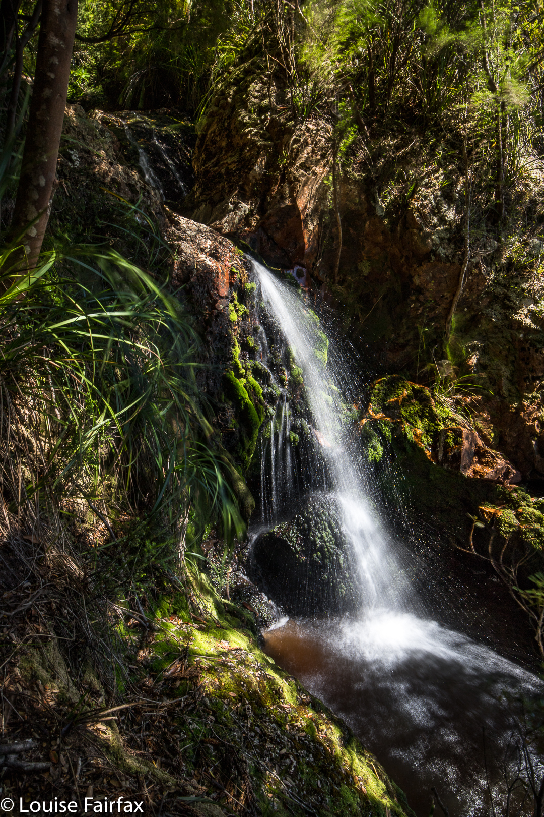
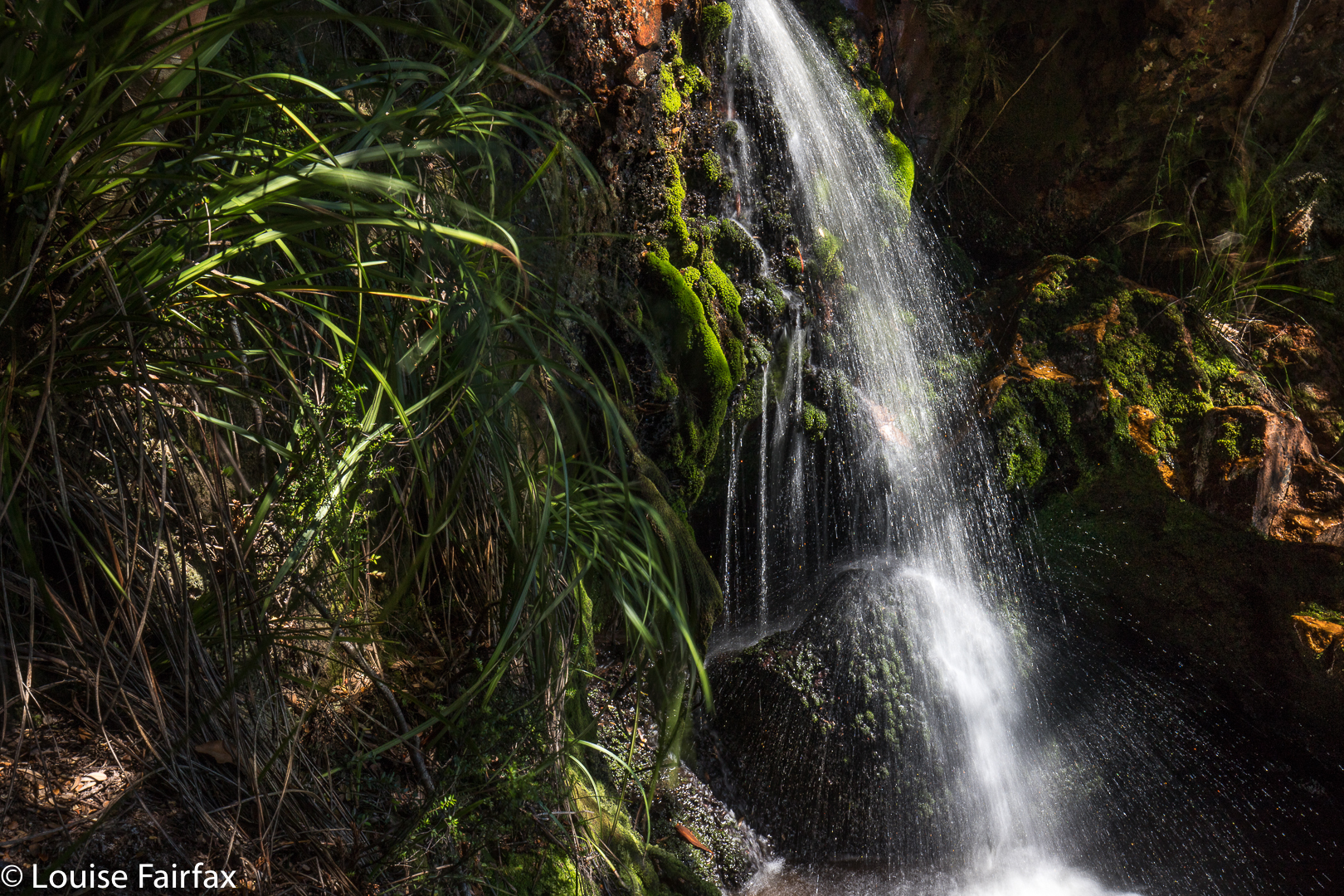
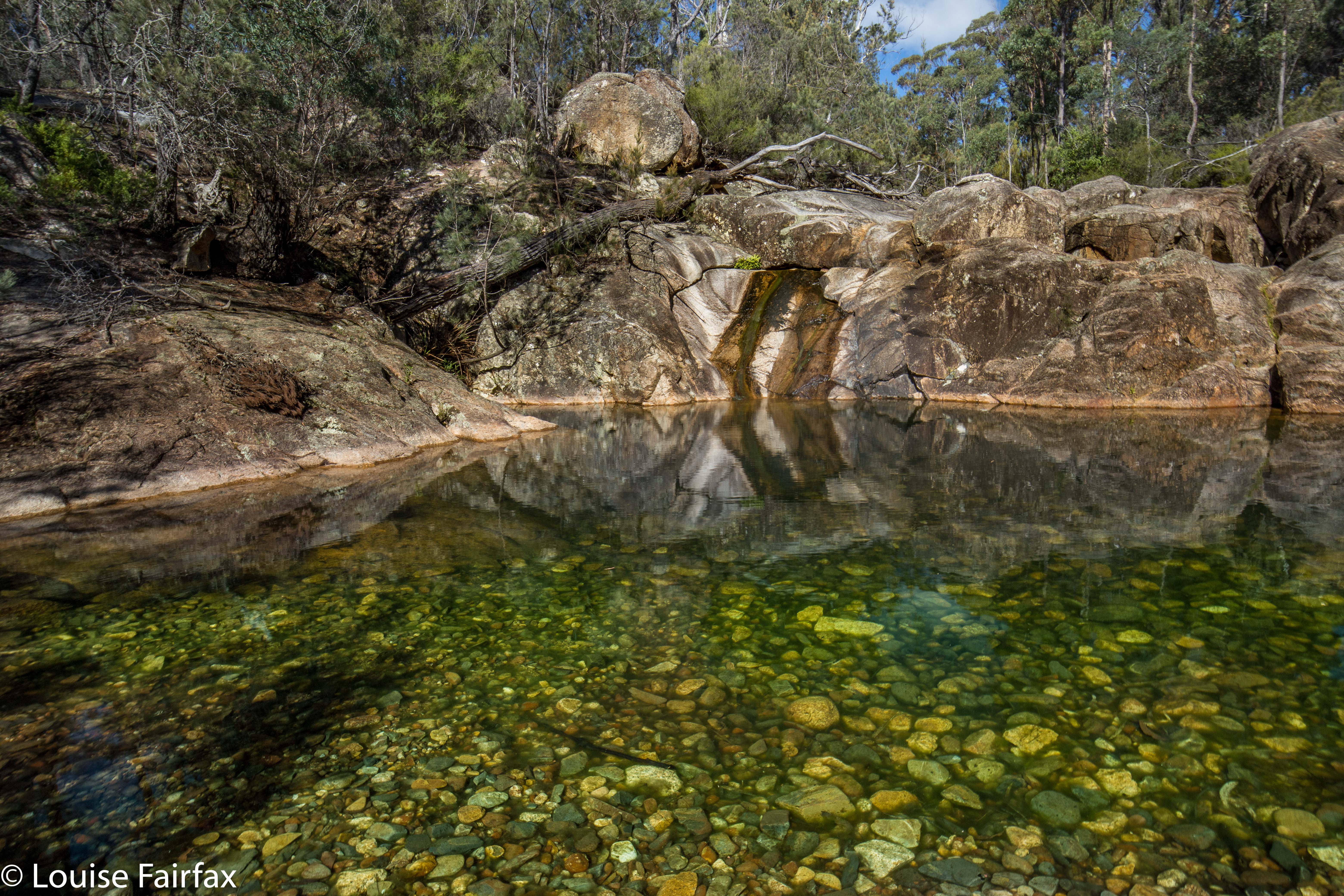
The next item on the agenda was a nameless fall marked on the maps, situated on a neighbouring creek, which Craig thus dubbed Nevada Creek Falls. We took less than ten minutes to go up over the spur and down to these beauties. These falls had a kind of cascade above, and then a bigger fall below. Both cascade and fall had a pool at the base of the most magnificent green, and perfect clarity. These pools were very inviting for a swim.
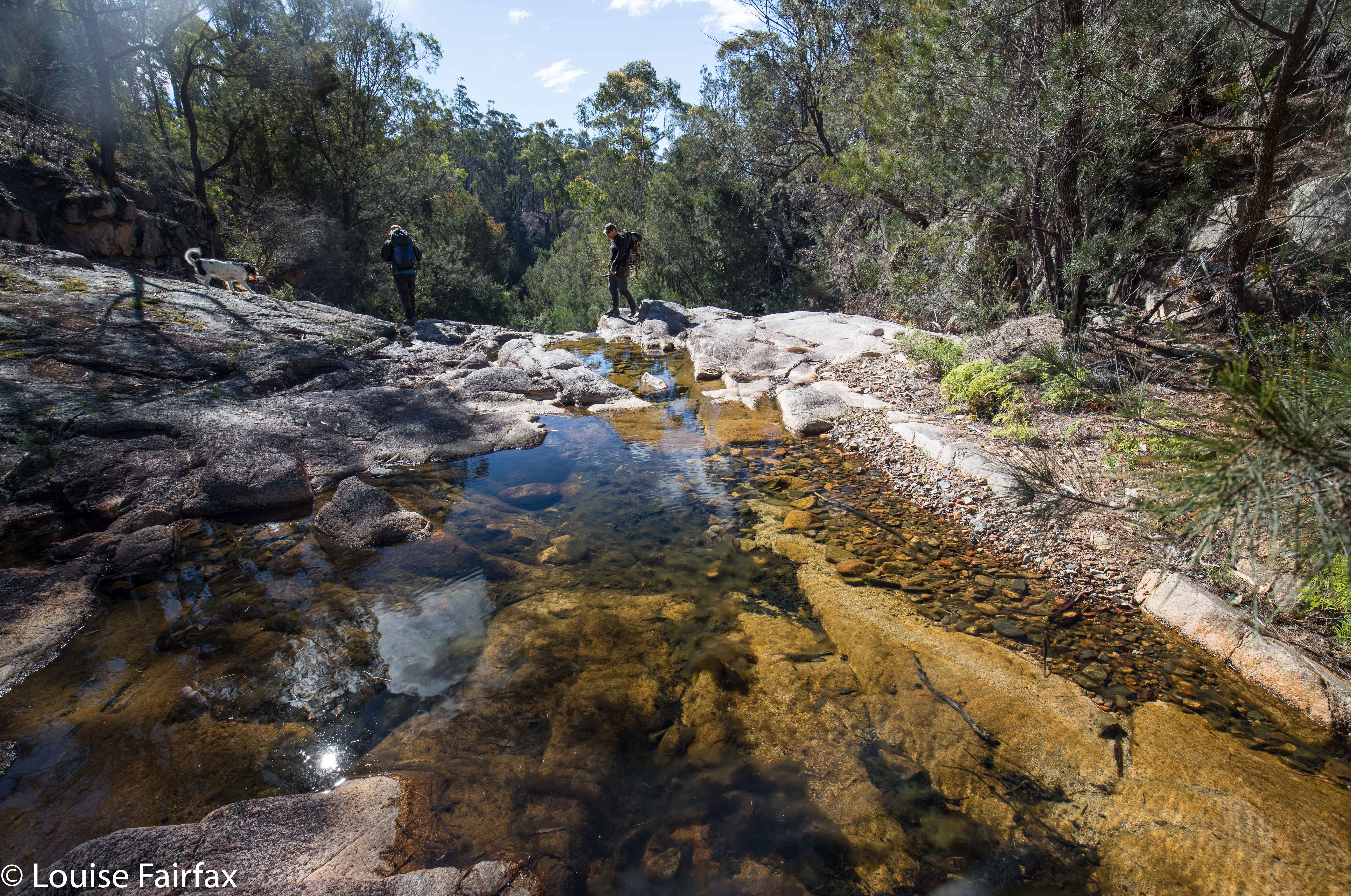
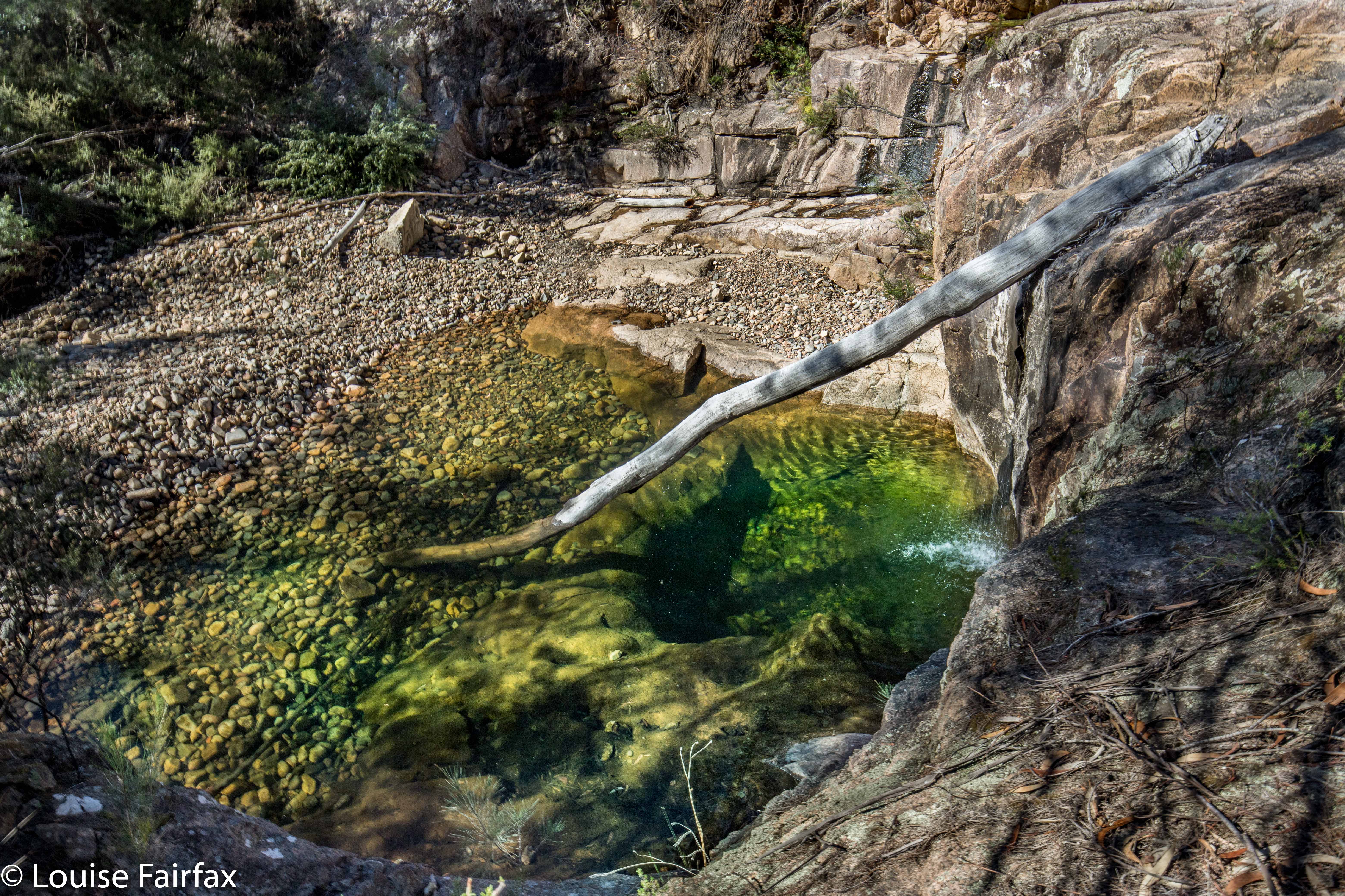
Our final goal was another nameless falls on the map, which, again using a practical, descriptive name, we called Constable Creek Falls. These were also attractive, and had a quite fascinating mini-gorge above the falls.
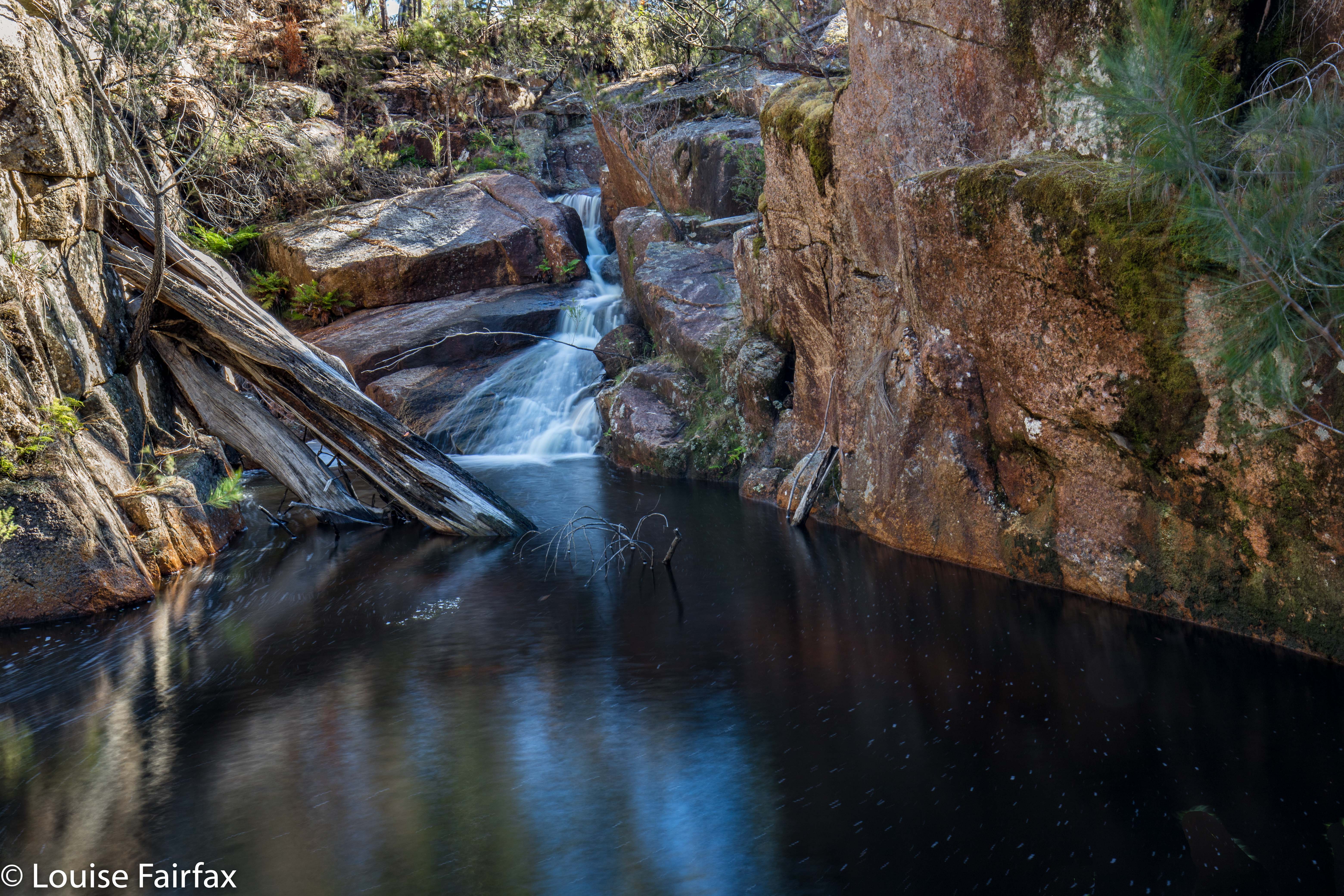
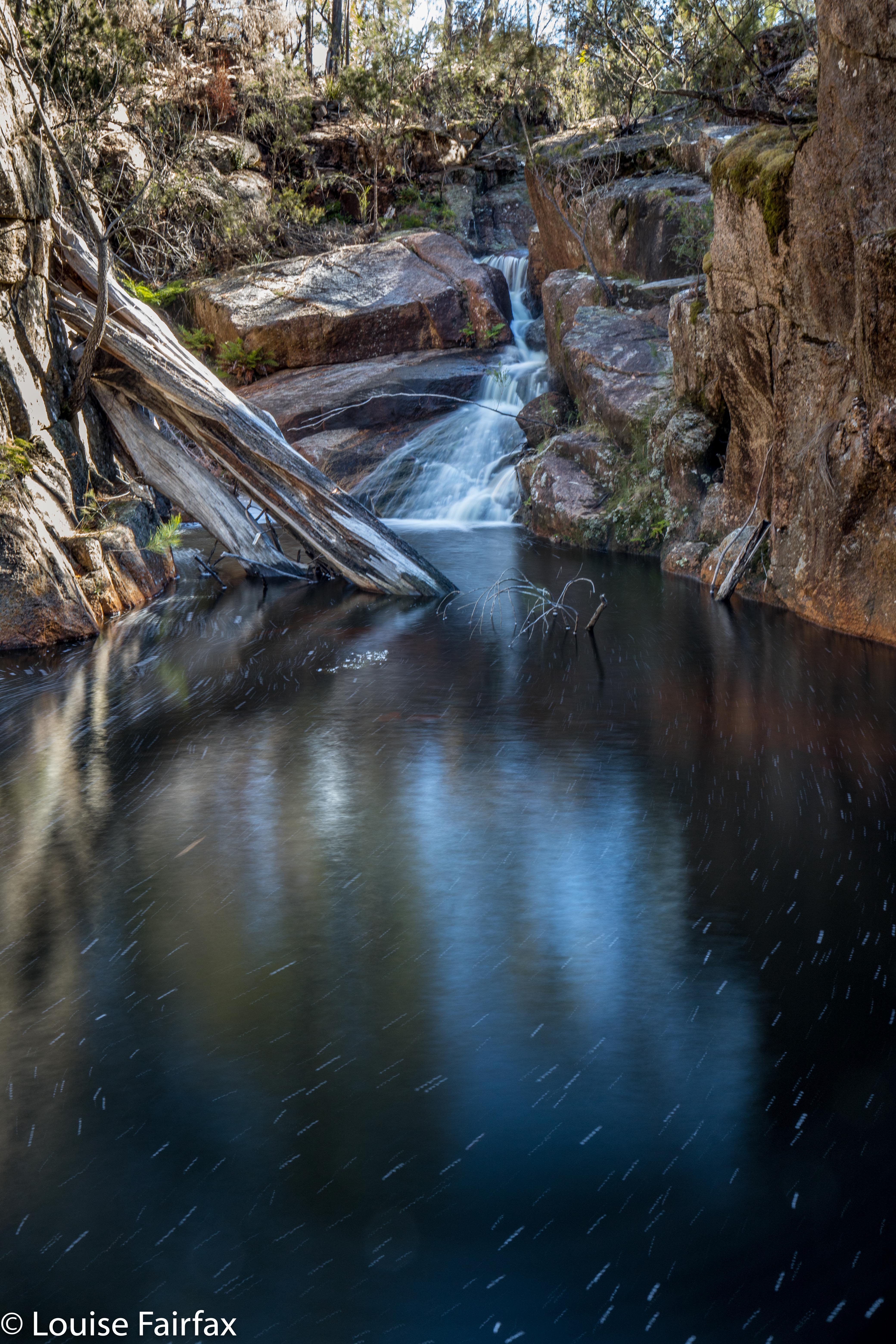
Constable Creek Falls
On the way home, we once more found an excellent place to have coffee (in St Helens) – a tiny little place opposite Banjos. It was too late for caffein: I tested them out with a small but strong decaf cappuccino with almond milk, and they came to the full party. Delicious. The raspberry muffins were moist and delicious. I’ll be back.
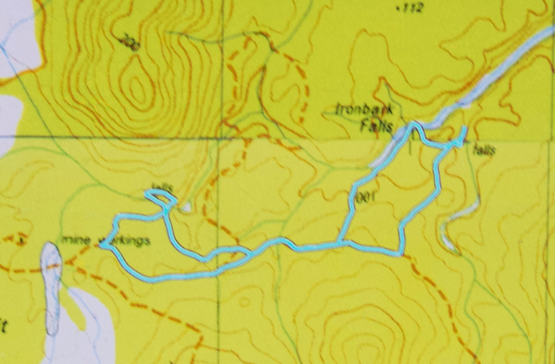

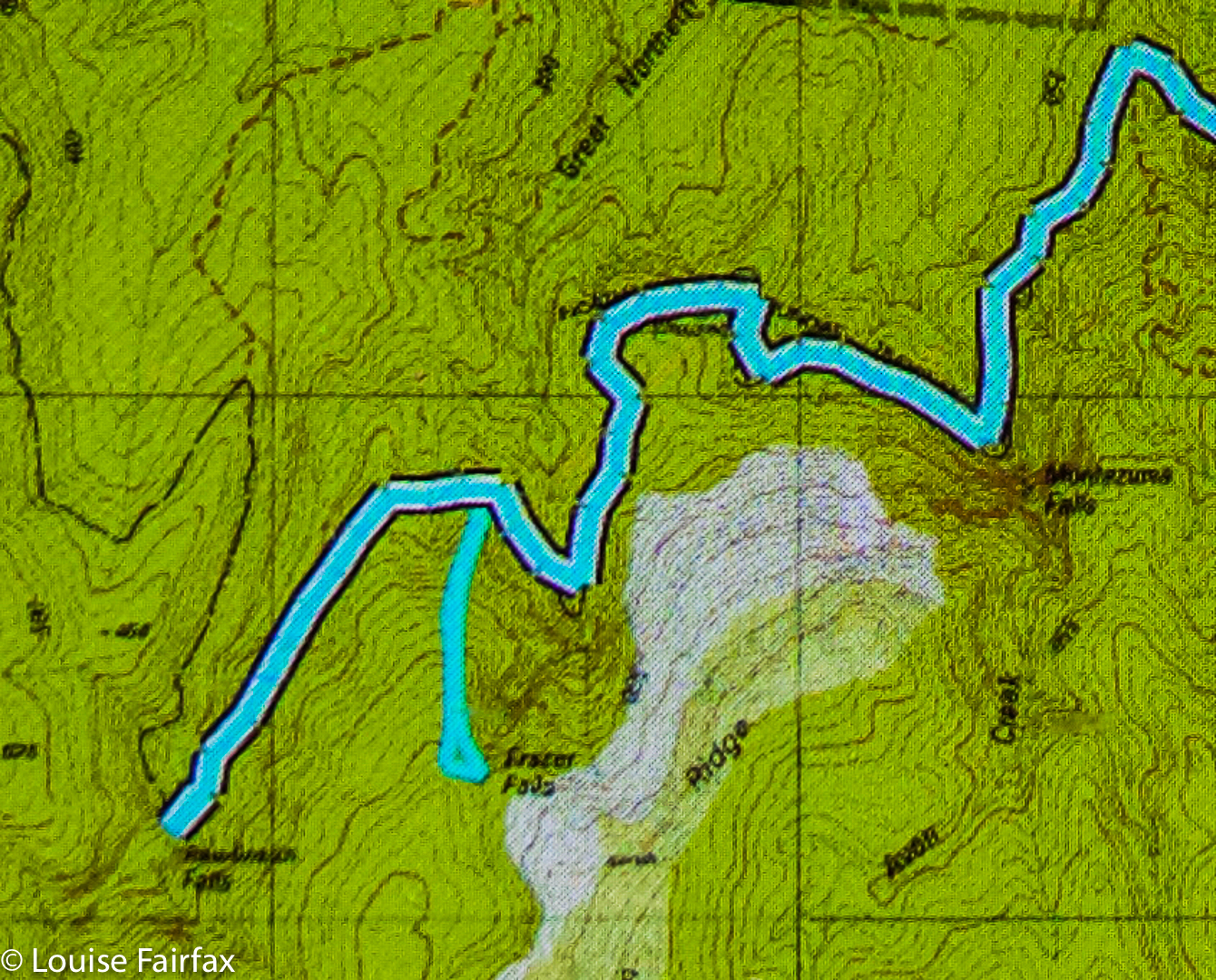
Our route. We parked at the mine workings far west (which was as far as I was comfy taking the car). We went directly to Ironbark, then to the falls east of there on neighbouring Nevada Creek. From there, we followed the spur back southish, then west along the road until it was time to head bush and proceed to the third and final falls on Constable creek, the most westerly ones there, NE of the mine workings where the car was. It was then a short amble SW back to the car. This is a gorgeous circuit: highly recommended.

Cashs Falls (not) 2018 Apr

Cashs Falls (not), Apr 2018


What is failure? What constitutes success? If you set out to achieve the impossible, realise it can’t be done (or, at least, not under the conditions of that moment), set new goals and achieve them, have you failed or succeeded?


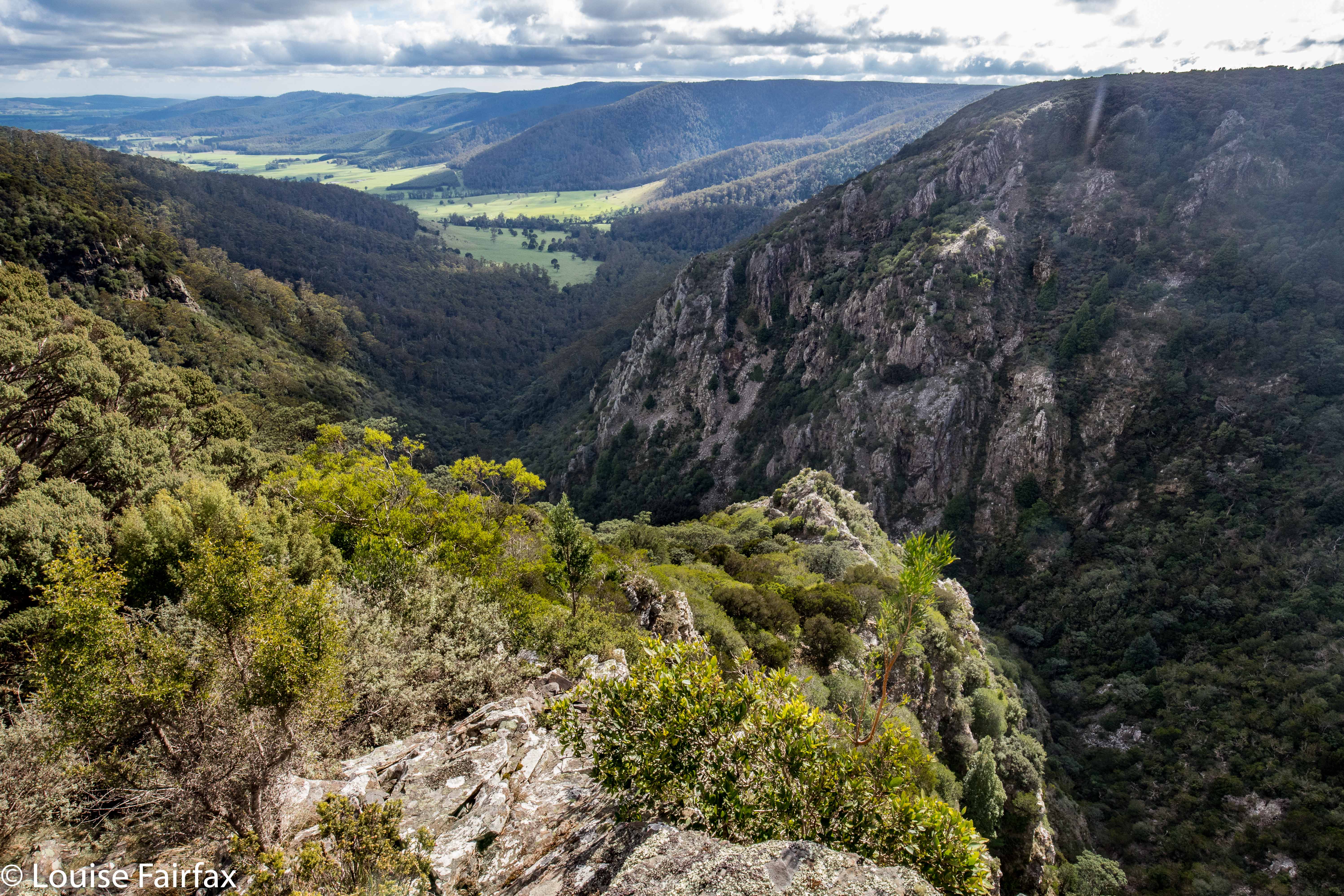
Cashs Gorge from the lookout
Craig Doumauras and I set out on what was, for both of us, a second attempt at Cashs Falls. Now, sure, we could persuade a friend with a drone to just get a shot for us, but what would be the fun or merit in that? No. For us, the need was to see the gorge personally, or not at all. But meanwhile, these falls were winning the protracted game of hide and seek we were all playing.


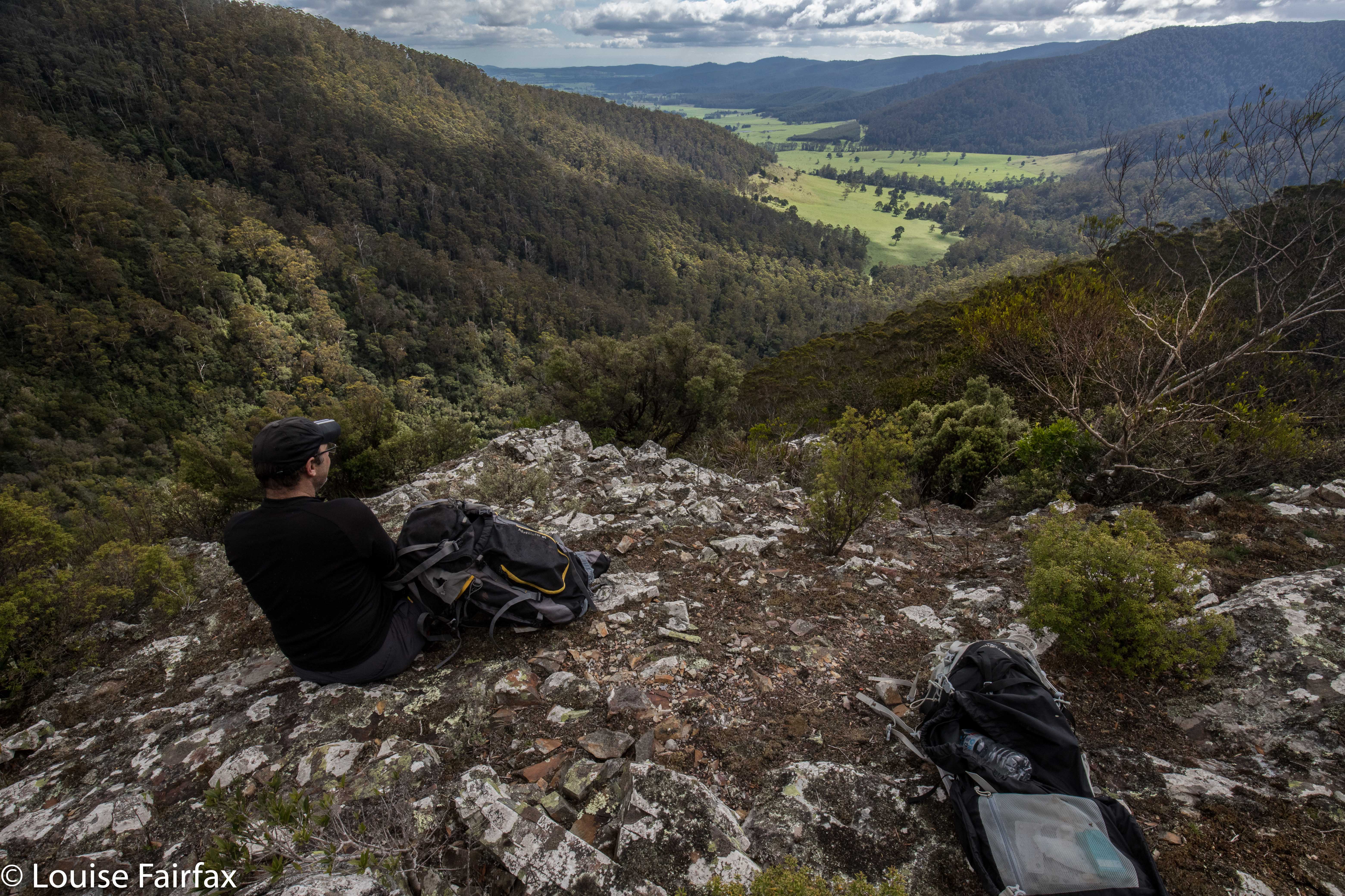
Lunchspot
Along the Ralphs Falls-Cashs Gorge Track we went, plummeting downhill at the agreed-upon point, where, the contours looked perhaps spaced enough to allow us through the plentiful cliffs of the area. At first, the leads went quite well, although at one point Craig lost his footing and fell a “warning” number of metres, just from a trip. We were in very steep country, and both exercised great care.


The land went from steep to steeper. We were still on the most promising area this side of the river, in terms of the map’s information, but all around us, unmapped cliffy obstacles were accumulating. This was hostile territory. Eventually, there were cliffs to left, right and in front of us. I am not prepared to slide down what I can’t climb back up, so we both agreed that we needed a new tack, and should climb back up the steep slope and try again on the other side.


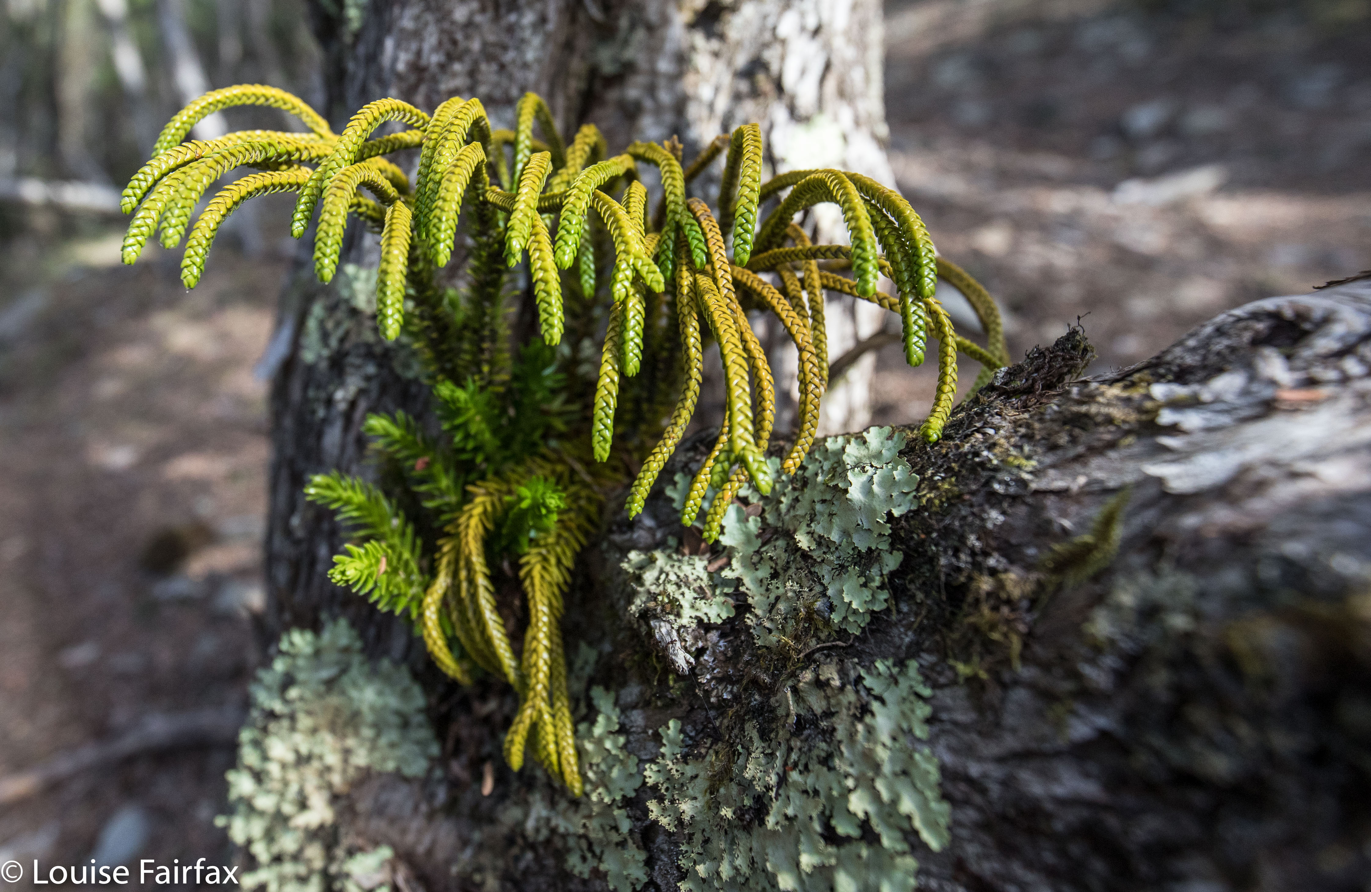
I am waiting the confirmation of an expert, but I believe this is Athrotaxis laxifolia, a cross between a King Billy and a Pencil Pine. Unbelievably, it is growing in a branch outlet of an ancient Leptospermum!
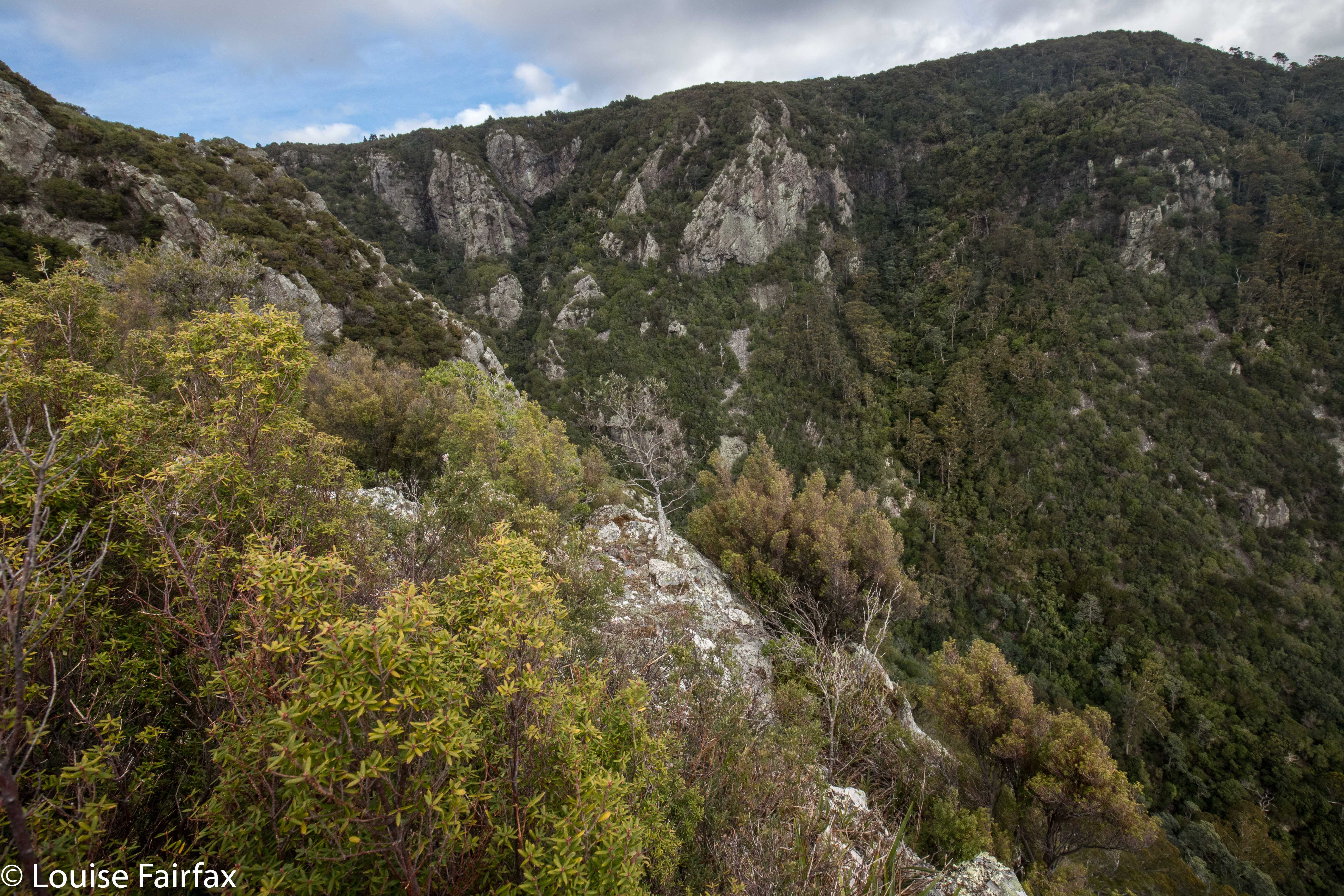
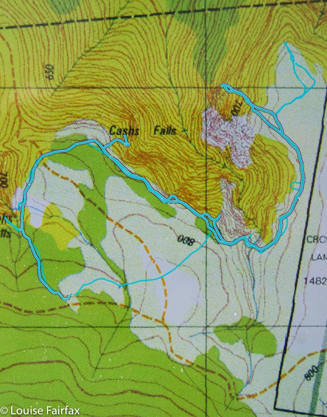
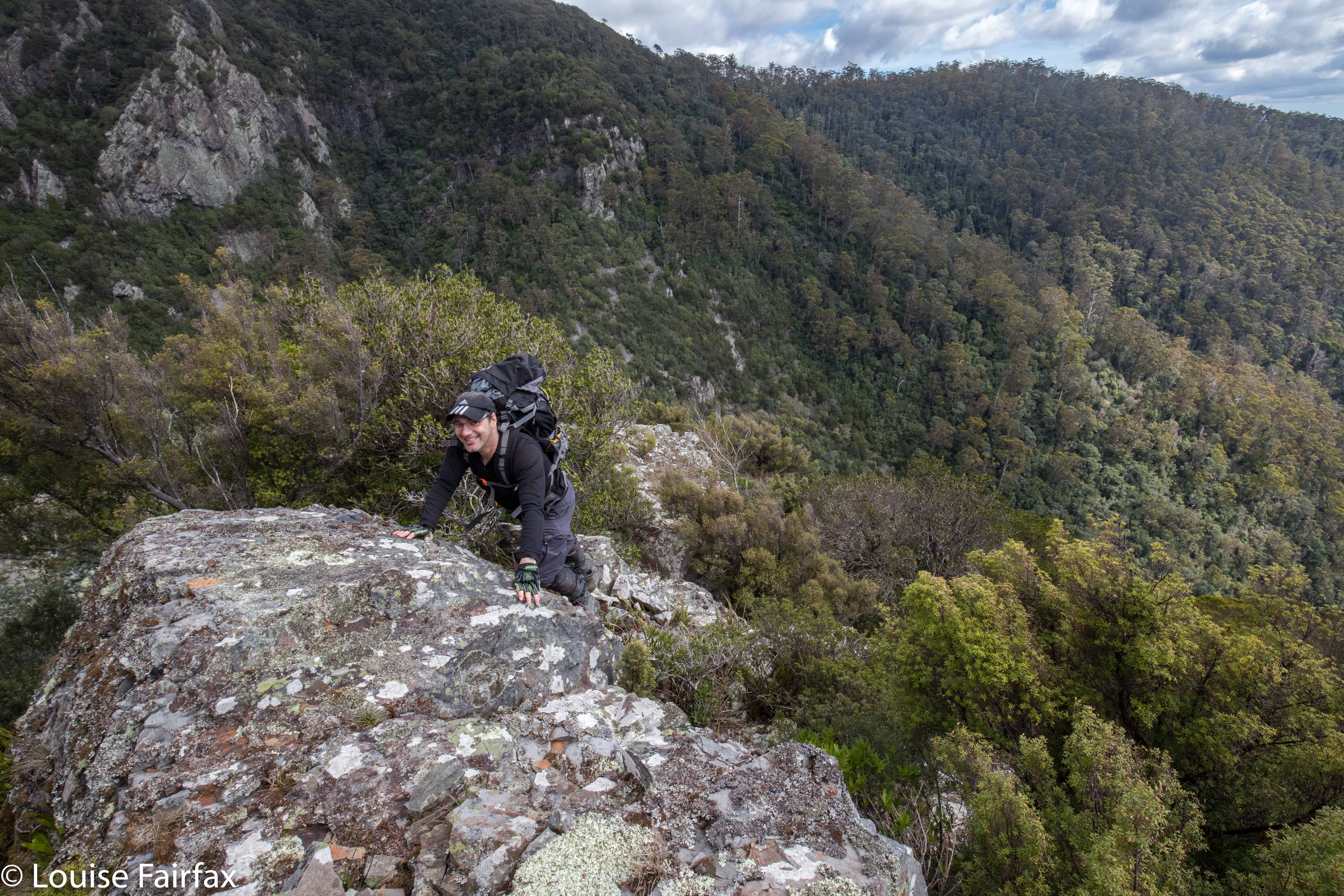
Off we set once more – around to the Cashs Gorge Lookout, across the river at the top, around the opposite (beautiful) spur, until it was time to descend. Now, when staring at the map from our first turn-around point, I noticed a bluff that might, with a bit of luck, give us a view of our grail, or, even better, produce a passageway that would allow us down to creek level. We agreed to make this bluff a preliminary goal. It was nice to have something to aim for. Given the totally obscure position of our bluff, we did wonder if we could be the first people ever foolish enough to explore this particular territory. That added spice to our adventure. Meanwhile, we were drawing nearer. At the very least, we were going to make this goal, and that felt like an achievement in this terrain. Would it yield a view? Na. That is, we had a gorgeous view, but not of our elusive falls.


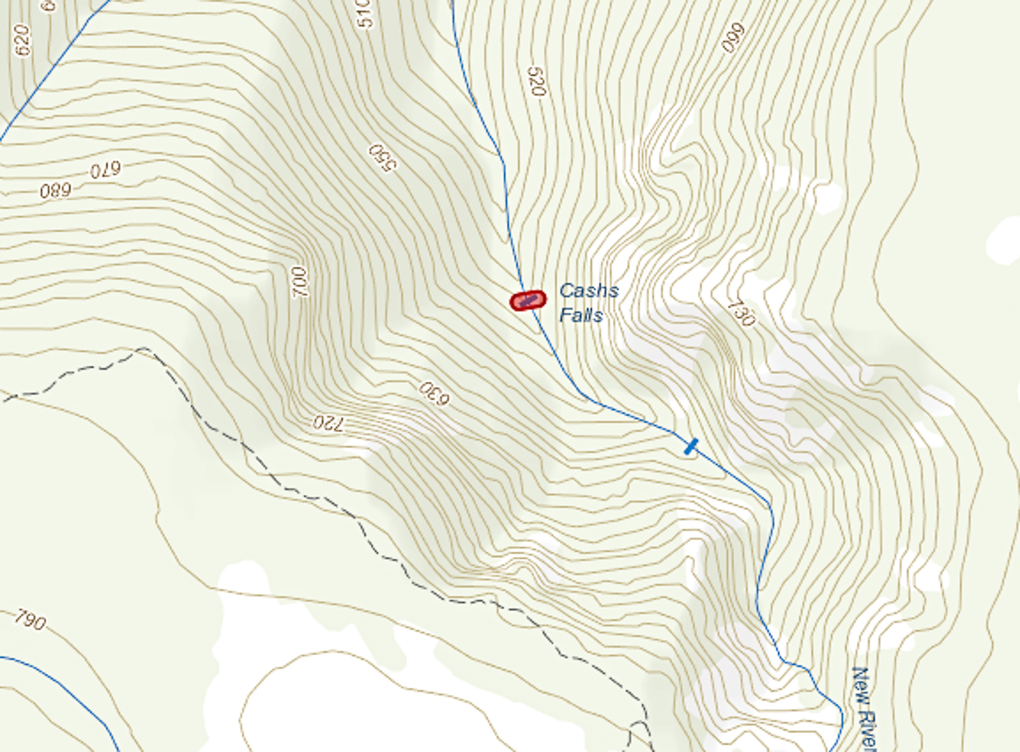
 (The bluff is the bluff feature to the NE of the falls depicted above).


Interestingly, this map depicts the falls as being slightly more upstream than the map above from ListMaps. With a canopy that dense, how is one supposed to know?
We sat on our prize, our shapely little bluff that I christened Cashs Bluff, and had an early lunch so as to prolong our time admiring its unique vista. Somewhere below us, tantalisingly close, lay our falls, but there was not even a tiny speck of white to be seen, not a minuscule rush of water to be heard. Given the inaccuracy of the position of some waterfalls on TasMaps, we could not even be sure it was exactly where the map said it would be. It was a mythical beast that would not yield a hint to us today.


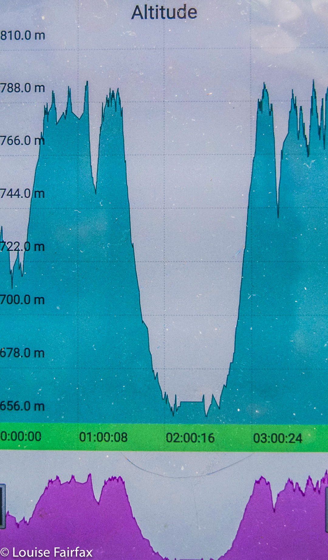
Our total height difference for the first climb was more than indicated here. I forgot to turn my tracker on before we were half way down the first descent.
Believe it or not, I haven’t given up on Cashs Falls yet. I want one  more try, and have planned my next route, but for this day, we both felt enough was enough. My track data said that by the time we’d returned to the car, we’d spent four hours on this exercise (including lunch and morning tea). We’d walked 7.5 kms and climbed and dropped over 300 ms’ elevation though thick, unforgiving scrub. It was time to visit a waterfall that was more welcoming of visitors (Harridge); one that would let us do this lovely thing called walking, where you put one foot in front of the other, and got somewhere. As for Cashs Bluff, we gave each other a high five once we breasted the top of the climb out from the bosky tangle. THAT mission was successfully accomplished, and we felt good about it.
For the rest of this day, see www.natureloverswalks.com/harridge-falls/

Phillips Falls (i) and Lake Rosebery 2018 Mar

Phillips Falls and Lake Rosebery. Mar, 2018.


Phillips Falls as seen from above. Isn’t that beautiful?
My visit to Phillips Falls occurred the day after my Montezuma, Rawlinson and Frazer Falls extravaganza, and was not on my schedule at all. I had stopped for the night at the beautiful Lake Rosebery, as I planned to climb a mountain this day, but it had clouded in during the night, and, more importantly, I was starving. I had left my foodbox at home, and the West Coast did not do it for me for comestibles at all. There was nowhere I could think of nearby that would give me anything other than prefabricated cereal and even worse bread. The coffee I had had the night before (milk scalded, coffee weak) did not excite me about my prospects there. Queenstown has a decent cafe, but that was a long way away, and in the wrong direction. And what would I buy for lunch? That had my stomach in cramps and depression. Not for the first time, I fled the West Coast out of necessity for my kind of food. I am a fussy eater.

My tent spot at Lake Rosebery
So I ate fruit with coconut yoghurt, staring out at my beautiful redoubt for the previous night, happily remembering my 12.30 a.m. exit from the tent to a clear sky full of stars above Mt Murchison, packed up coffeeless, drove through a still-sleeping Tullah, and headed north, appeasing my hunger somewhat at Moina with a microwaved scone, cheap jam and pretend cream (how are they allowed to call that stuff ‘cream’?) and another weak coffee with scalded milk. Sigh. At least I now had some caffein in me, so that as I approached Mt Claude, I decided I might as well pop in and suss out Phillips Falls while I was in the area. I turned right up the C138 and drove over the saddle, taking the first turn to the right after dropping down (Cockatoo Rd – unsigned as such).

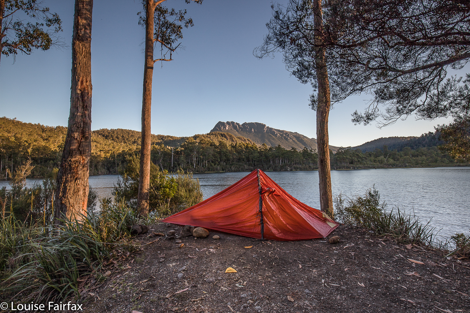
Evening settles. I watch it from my tent, pretty exhausted.
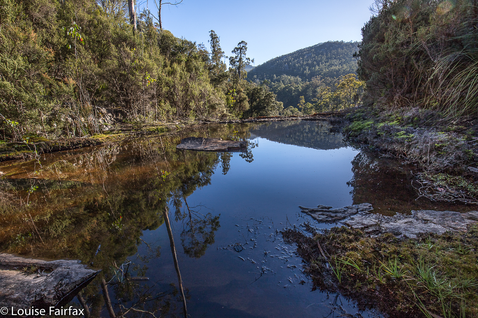
As I wasn’t expecting to be here, I hadn’t done any research, so parked the car and made my own way to the top, as with Frazer Falls, noting the huge drop to the bottom. The water wasn’t flowing, but I thought the pools with their reflections, and the hint of what would be if I came back after rain, were well worth the visit. I don’t think you’d normally get that lovely mirror effect were the water not so still. When I returned to the car, I saw that I had reception, so could then read that I should approach the falls from the Eastern side, and not hug the water as I had been doing. Then I would reach the bottom. However, as the water was not flowing at all, I was pleased with my recce, as I now know exactly where I want to go, so ended my visit and drove home.


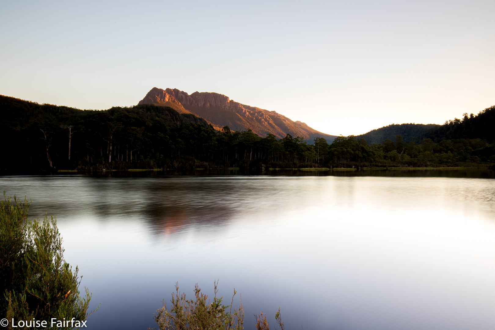
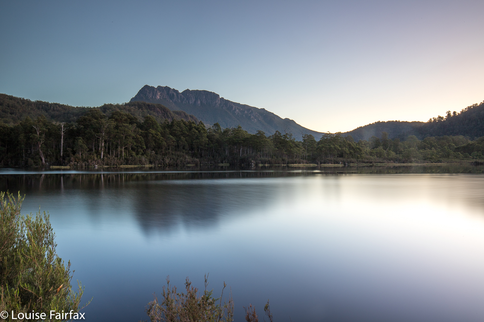
Another  LE shot of approaching night
As I drove past the Raspberry Farm, I popped in (ah, real food at last), and now had a couple of kilos of berries, which have been filling my pancakes and accompanying my croissants since. The aim of my game is to eat with enough speed and big enough helpings to beat the growth of mould. So far so good. Pity I was greedy and bought 4.5 kgs. I have a lot of homework to do. Perhaps my blog should be called ‘diary of a famished photographer’.

Frazer Falls 2018 Mar

Frazer Falls, Mar 2018.
The third falls on my list for this day were Frazer Falls, which I was going to attack by following the stream uphill. However, on my way to Rawlinson Falls, I saw some tapes leading up the spur beyond, and on checking my map, I decided this would be a fine way of reaching the falls: follow the spur up and then contour in. OK. That would be my new mode of approach on the rebound. The country up to my left as I walked on was incredibly steep, so it was good to have a plan in place that seemed feasible. I felt that quite a bit of trial and error could be involved here (and I was right).


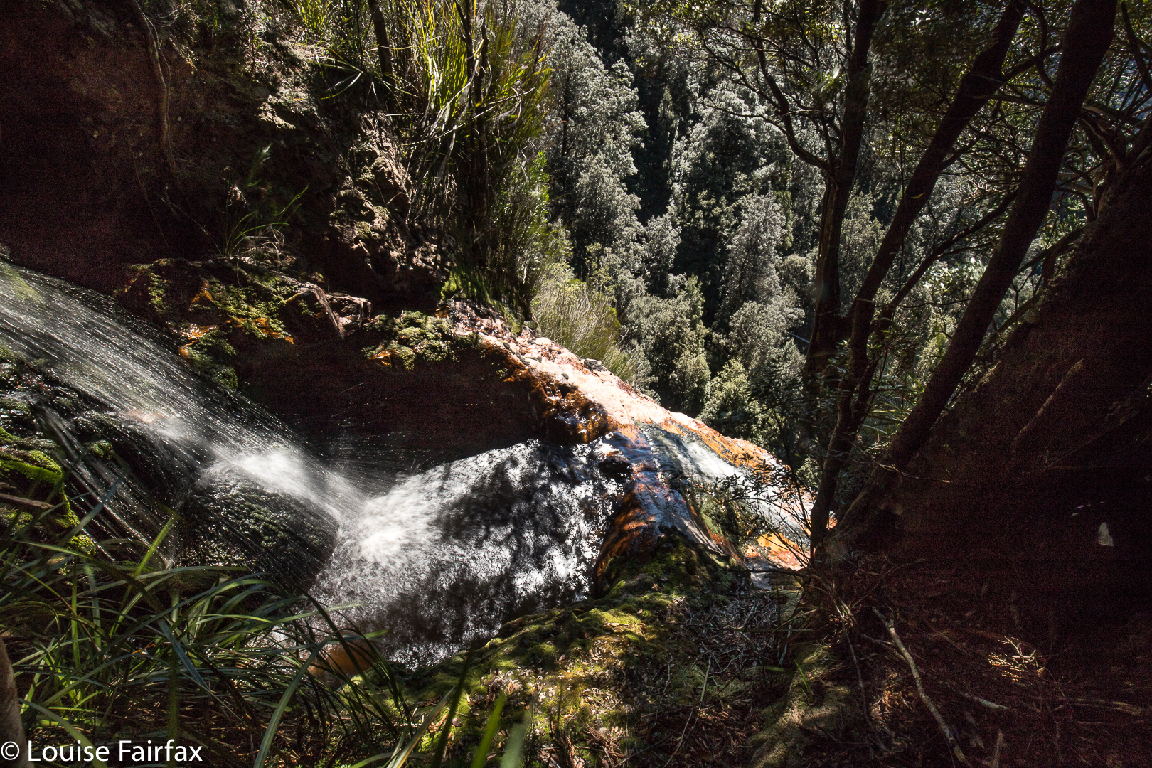
These are little falls, above the big ones. The sign saying “Frazer Falls” is here, and not below, but here is the top. To my right, right now, is a humungous drop.
On the return leg, I turned uphill at the tape. If it didn’t work, I could then try following the creek (Frazer Creek). Up and up I climbed, on a lovely pad rather than track, that surely went to the falls … or did it? Perhaps it just went to a hut I’ve heard about. However, I reasoned, the hut would be a fun thing to see, and I could catch the falls on the way back down, if that’s the way things worked out. I looked at my map again, and decided this pad should swing to my left once the contours got more gentle. Just when I was thinking things were wrong and it really should be swinging left, it swung, so all was well.


My biggest problem was the two areas of fallen timber, where regrowth had taken place so that the ground was no longer visible, and obscuring shrubs and cutting grass had grown up. It was March, just the time of year when I once got bitten by a tiger snake. I was fearful. This was just the kind of territory I was in when bitten. I held my breath and gulped and got through it as quickly as I could, hating every moment. A second problems was the lack of opportunity to comfortably swing left on contour to avoid these areas. It was steep and full of horizontal scrub – most uninviting. I therefore stayed on the pad to see where it would dump me. I found myself at a lovely little sign, cutely carved in wood, telling me I was at Frazer Falls … but I was at the top. I wanted to be at the bottom. OK, so, I’d explore the top for now.


If I tell you that those trees whose tops you can see are enormous, can you begin to get a sense of the drop in front of me? It was huge.
I climbed the short way down and took photos of the little falls above the real ones, which are here. I have been told of others who have photographed the falls from below, so am peeved that that was not my lot for this day. I felt very, very insecure in the area immediately above the falls, as the drop was huge. I opened my camera backpack and several items tumbled out. I watched with dismay, too scared to chase them. Luckily, they stopped their path to the abyss (oh the joys of friction), and I prodded them with a stick to return them to the bag, marvelling at how much money almost went down the gurgler.  I could see no obvious sign that humans had gone “this way”, and had lost my experimental spirit, so decided to be content for now that I had bagged the falls from above, and saved the below bit for another time. The flow above was minimal, so I don’t think the below view would have been worth the effort on this day – well, that was what I told myself as a consoling fact.
I was hoping to be more efficient through the fallen areas on my way down, thinking I knew my way through the mess now, but got shoved somehow to the right, and found myself mildly stuck in timber that was so rotten I couldn’t just walk on it to get out, as it collapsed under my not-considerable weight. I was nervous about getting a foot wedged in such a collapse, so trod very gently indeed, and rode most logs like a horse until out of the area. I didn’t think our girls would like to lose two parents in the wilderness, possibly from the same cause. I knew I was nearly back at track level when the dulcet tones of 4WD revving reached my ears. Three cars went by as I did the final few metres to the Montezuma track.

Rawlinson Falls 2018 Mar

Rawlinson Falls. Mar 2018


Rawlinson Falls
I was very curious to see what happened to the contoured track after Montezuma Falls as it wended its way west towards, inter alia, Rawlinson Falls. The (beautiful) path is now part of an eighteen-kilometre MTB track, which is a great initiative. This track is also open to 4WDs and quad bikes, with all their noise and petrol fumes. I was pretty worried about being splattered with mud most of the time; however, no one got me. That said, I always felt the onus was on ME to get out of their road, and that they wouldn’t slow down much to give me an opportunity of finding a good spot to get off their turf. I saw four quads and about eight or more 4WDs on my journey. The sound carries, so it seemed like more. I must admit, on the positive side, that all bar one of them thanked me for moving out of their road. I like courtesy.


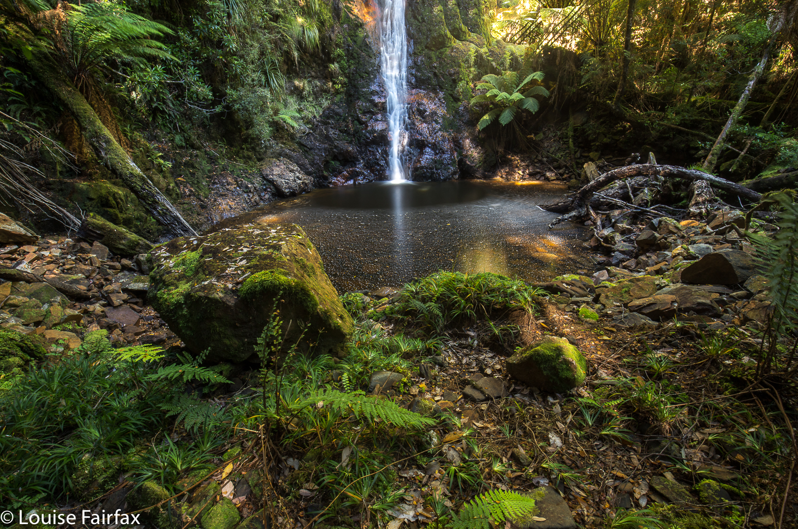
It took thirty eight minutes from Montezuma to Rawlinson (I wasn’t mucking around), and then the fun began. I thought these ones would be a breeze – hey, they’re just beside the track. No breeze was blowing that day! I followed the creek the short distance from the bridge and … whoah, that’s a huge drop!! How am I to get down there? I knew it was humanly possible, so I opted to go back quite a bit, and angle in (not clear from the map below) to cut the gradient. Do not try this if you are not experienced. It really was very steep. I was travelling solo, and no one knew where I was, so I was a little anxious. For every single step I took, I made sure one arm was around a nice healthy young tree that would not break. I trusted nothing dodgy. Not only can you harm yourself greatly if you don’t know how to handle slopes like this, but you could also cause a landslide that would harm the environment for everyone else. If you photograph from the top, you have still bagged the falls.

I was rewarded for my efforts by the sights in these shots. I took one (not here) from half way down, perched above a sapling, as I never actually believed I’d get to the bottom, so was feeling quite jubilant to reach flat land below. Having not slid at any time, I knew I could easily get up my downward route.