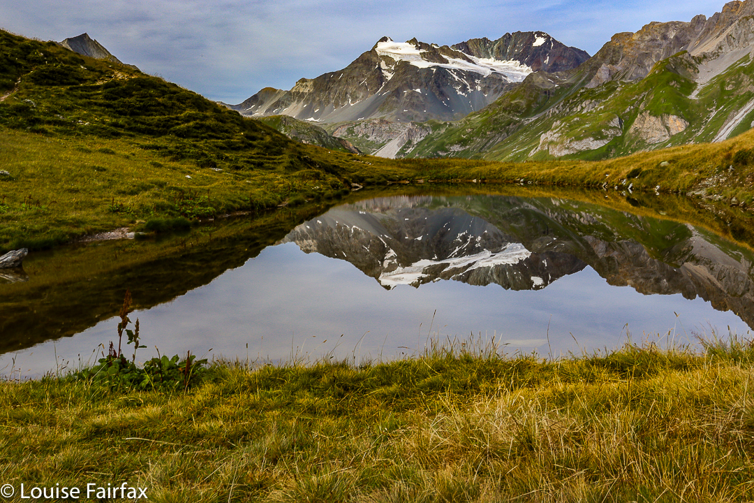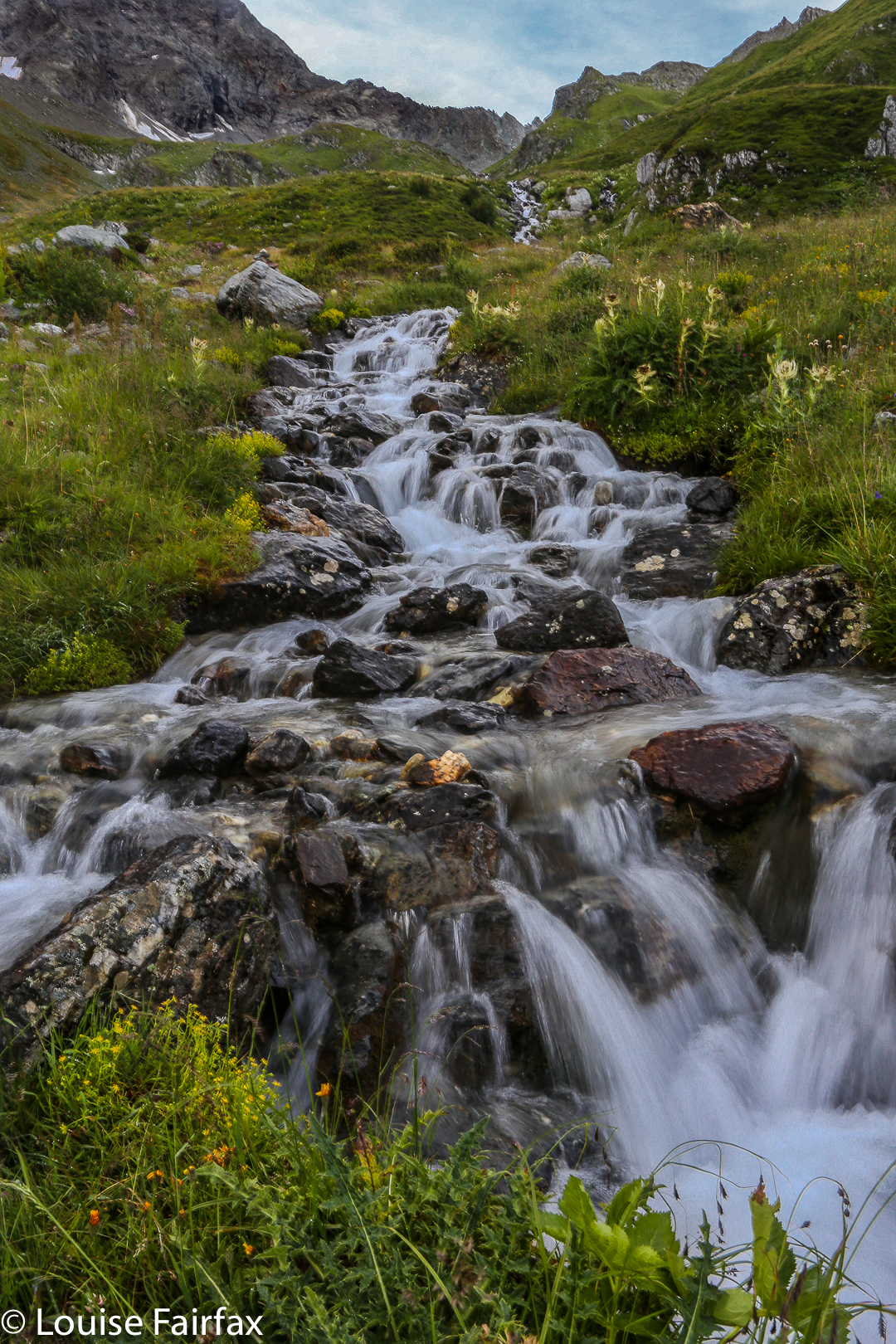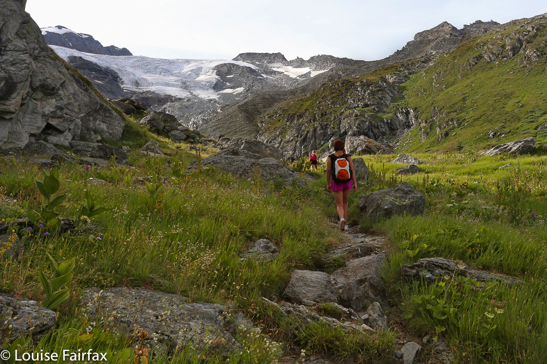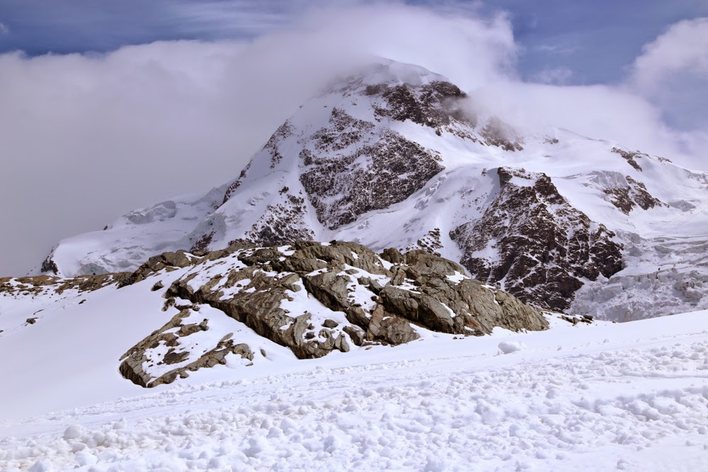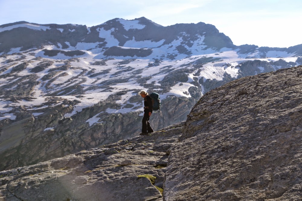
FRANCE GR5 2015 Chamonix to Modane.

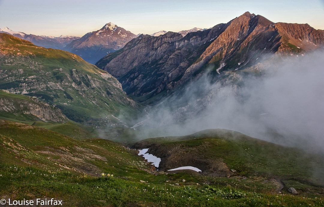
Scene from the Refuge de la Croix du Bonhomme (Day 1, evening)

Itinerary. 
I want to write stories, giving you an idea of life on one of these trails rather than a day by day account of where I went, and I have done that below the itinerary that follows. However, I know that I have found other people’s itineraries helpful when planning, so I will give you mine before I paint my pictures. My route is not the official GR5, as the exceptionally helpful assistant in the visitors’ centre at the entry to the Vanoise National Park advised that GR55 was nicer than GR5, and that the route she then offered was even nicer  – she said to stick as high as it’s possible to do whilst traversing the park; this would be challenging but worth it. How right she was! In my mind, I kept offering her thanks as each new delight was exposed. You’ll need a good map to convert what I say to a route – but trying to do the GR5 without one would be madness. I carried both paper maps (IGN’s Carte de randonees 1, 2 and 3 [1:50,000] and the randoneur’s “Bible”, the official GR5 book in French that contains maps, a route description, and expected splits so you can plan your stages appropriately.
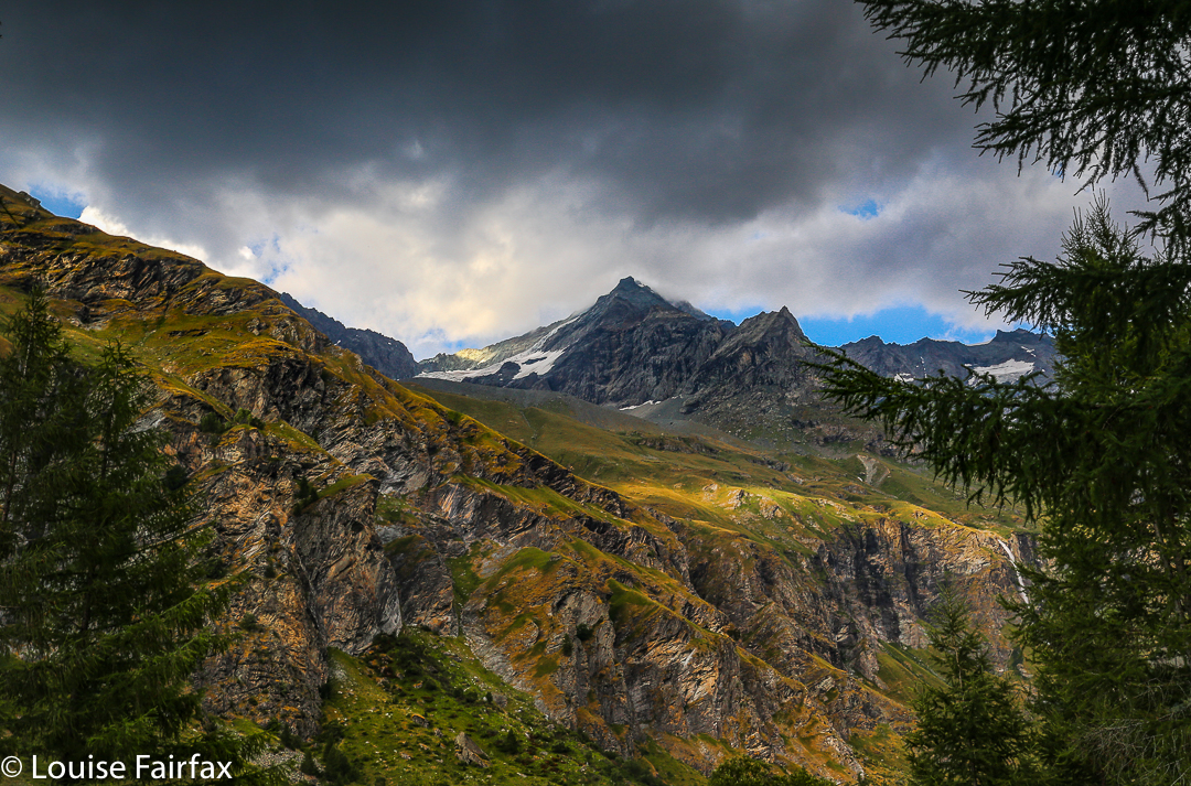

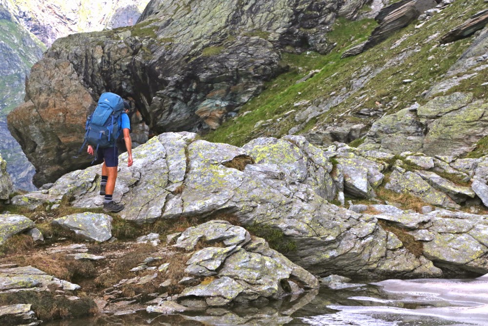
Along the route next morning, day 2.
Schedule
:
Day 1. 19 July Chamonix to Les Contamines by public transport, having already walked this section last time, and thence to the refuge du Croix du Bonhomme. (3 hrs 11 mins). The public transport part took a very long time indeed, so we didn’t get started until around 3pm, so we had to push it hard to make it to the refuge in time to order dinner. After a yummy cake on arrival, we had a delicious dinner of pea soup, then Boeuf Bourginion with cheesy polenta, and choc cake for desert. At last my hunger was appeased.
Day 2.
 20 July Refuge du Croix du Bonhomme to refuge de la Balme (5 hrs 37 walking). This day was was not of any particular photographic merit until the mid afternoon, when near the hut, when it became photographically splendid. My lens, however, was dirty, and I got too much flare. I have to go back to do this place justice. The food here was also wonderful, and going back will not be any kind of hardship. For dinner we had nettle soup (yum), penne carbonara and a delicious cake that was so good I got the recipe, but it was so rich (I realised, once I had read the ingredients), I have been reluctant to make it. 
Day 321 July Refuge de la Balme to refuge Pont de Rosuel. This was an exhaustingly hot day. I’ve never felt the heat so badly, but the river was too cold for swimming. Rested in the shade for several hours, as walking was impossible in that heat.
This was not a photographically appealing day at all. I took two images, neither of which was good, but the exercise got us into the fabulous Parc de la Vanoise. The refuge was modern and very comfortable, with excellent food and good books to browse through.
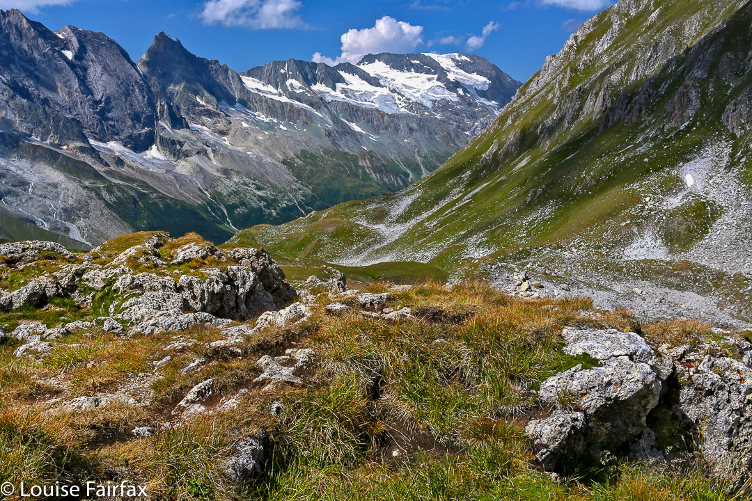
Day 4, the Refuge du Col de Palet as seen from above and beyond on my route to climb other things in the area after arrival.
Day 4. 22 July Refuge Pont de Rosuel to refuge du Col de Palet. This was an annoyingly short day – I was there by 10 a.m. – but I had agreed to stop here.
After I secured my bed, I climbed Point de Palet and other interesting lumps and bumps before descending for lunch, by which time the glorious day had clouded right over. I met a lovely man on the mountain, and we came back down singing together. His wife, sitting down there waiting for him, had fun listening. I joined them for lunch.
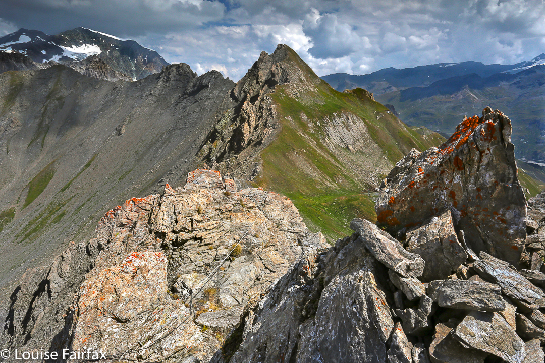

Day 4: the Point de Palet – a fun little climb.
Day 5
, 23 July Refuge du Col de Palet to Refuge de la Leisse – possibly even more annoyingly short; I was getting restless, but I wanted to spend a night at each of these wonderful, high locations.
 I was disturbingly near the end of my book. This refuge was also a family farm, so I had fun observing the way it worked.
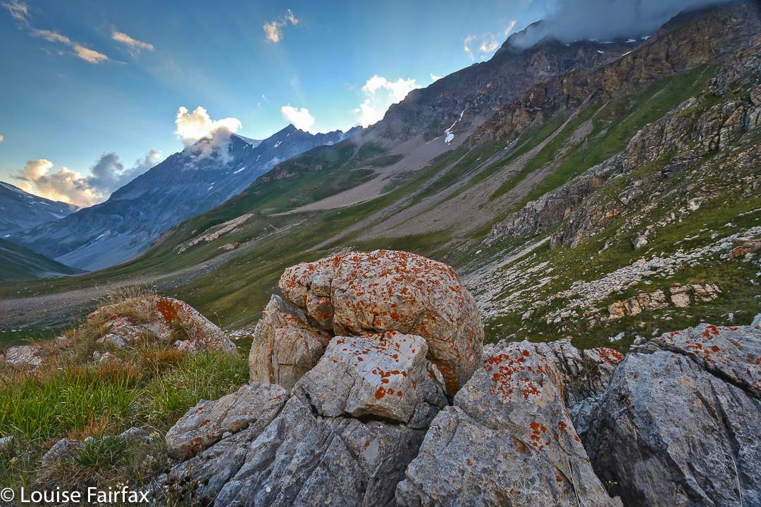

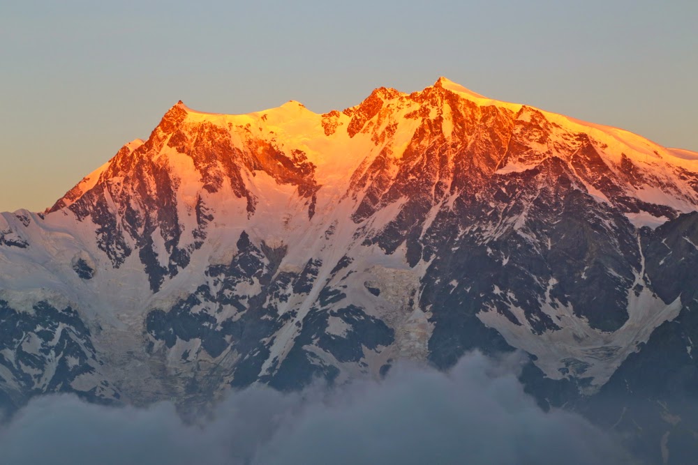
Evening scene at Refuge de la Leisse. Day 5
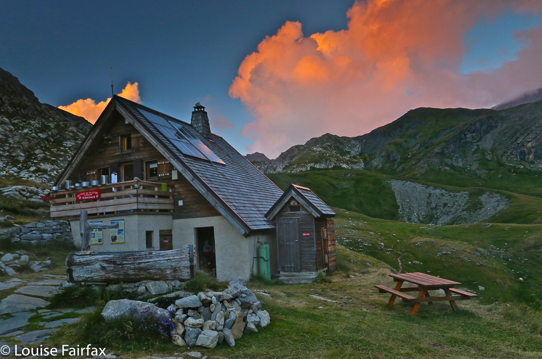

This is the refuge that evening, and please don’t accuse me of overcooking my image. The sky really was like that, and I was delighted to see it on my screen after taking it. On the computer, however, it seems as if I’ve just been turning on some red function.
Long after that colour and deep into the night, my new friend, Mathilde and I watched the stars come out. It was such a wonderful evening, and great to share it with her.
Day 6. 24 July Refuge de la Leisse to the refuge Col de Vanoise. This, too, was a very short day – only 2 hrs 15 – but this col was so beautiful the time there was well spent. This was maybe my favourite refuge, but they were all so lovely it’s hard to be sure.
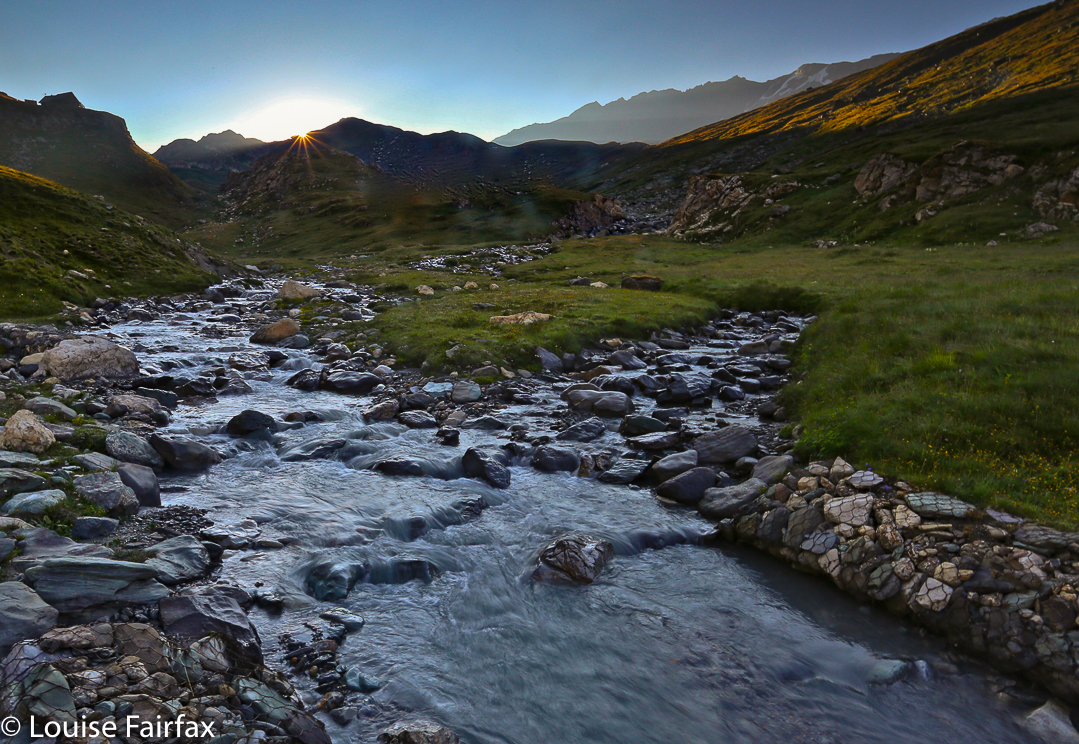
Leaving the valley below the refuge.
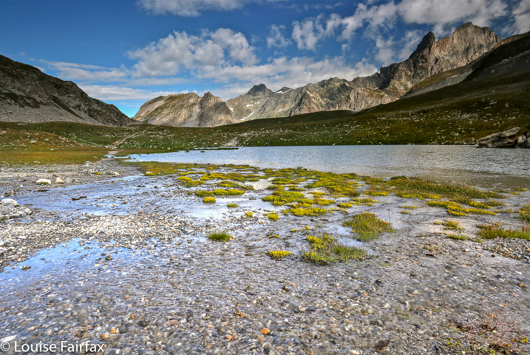

Nearing the Col de la Vanoise
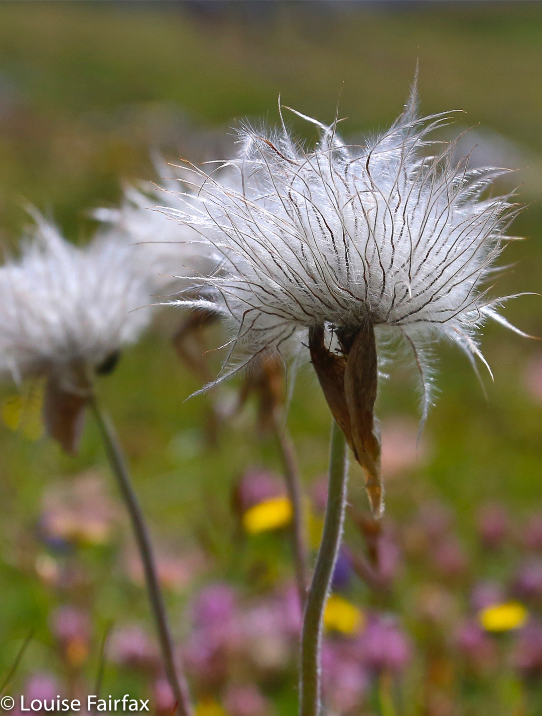

Flowers everywhere


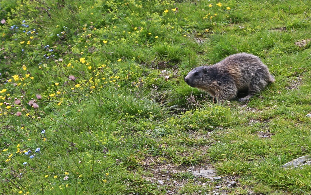
This photo took over an hour in the making. I had to lie down in the pasture, pretending to be a blade of grass and being exceptionally still and quiet, hoping a marmot would come by, lured by the smell of a crust of bread I had placed there. I think this one is very old, as he was silly enough to be fooled. This is not a zoom lens – quite the opposite. We were up close and cuddly.
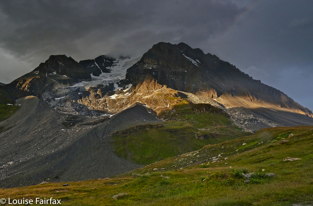

In the evening, we had a truly fabulous storm. Oh boy was I glad of the comfort, security and safety of the hut! It was a really wild one. After it had finished, shafts of light would break through the clouds to light up sections of the mountains. There was a lot of damage done by this deluge, and several bridges collapsed, inter alia. My route for the morrow became impossible.
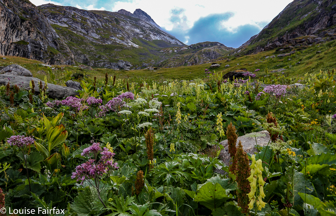

Day 7. 25 July Refuge Col de Vanoise to Refuge de la Valette. This was possibly also, normally, a short day, but I turned it into a 4 hrs 15 one by dropping and rising 1400 ms extra – not to be silly, but because the bridge on my chosen route had been washed away in the storm. I had to go right down to the valley floor and rise up again, as this was the only way of safely crossing the very flooded stream. Even that route on this day was full of hazards. When I say “flood”, I really mean it: it was exciting.
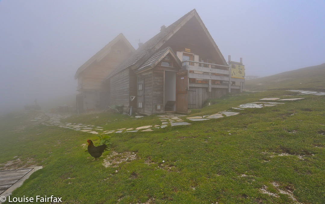
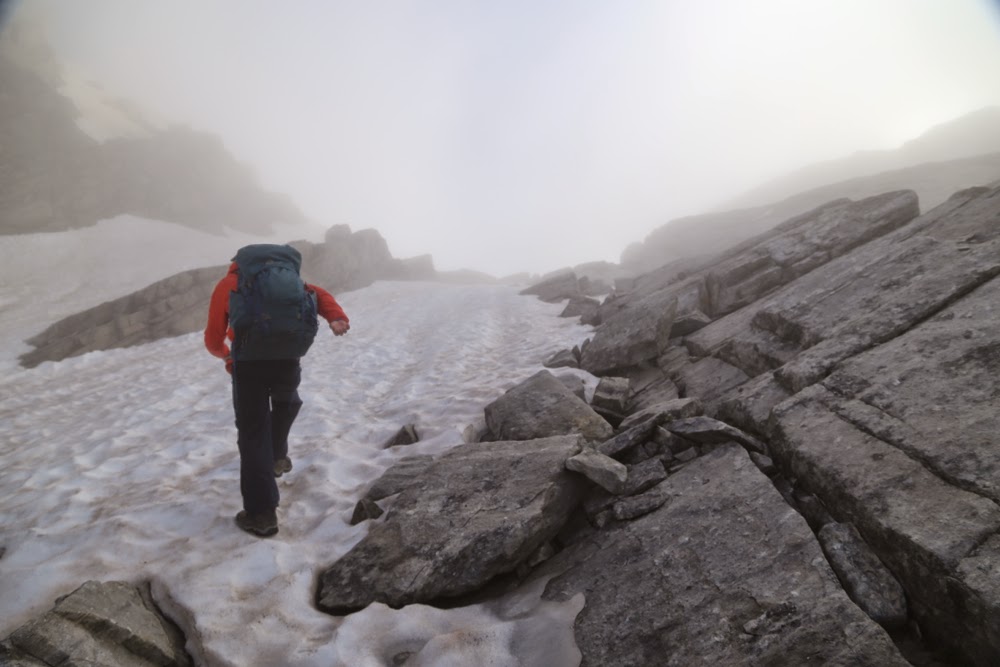
Mist on arrival

Sunset that night
Day 8. 26 July Refuge de la Valette to Refuge de Fond d’Aussois. I had been warned often that this day was hard and long and confusing, and that I may not make it. It was harder and longer than any of the other days, and certainly had its confusions, but the ten hours on the trail I had been promised was five hours fifteen in reality, so bear in mind that the parameters for this day probably lie somewhere in between these times. Julian took even less time than I did (which would have been less again had he not got lost). Two other guys maintain it took ten hours of consistently strong “marching”, with only a single twenty minute break for lunch. Choose your own time.
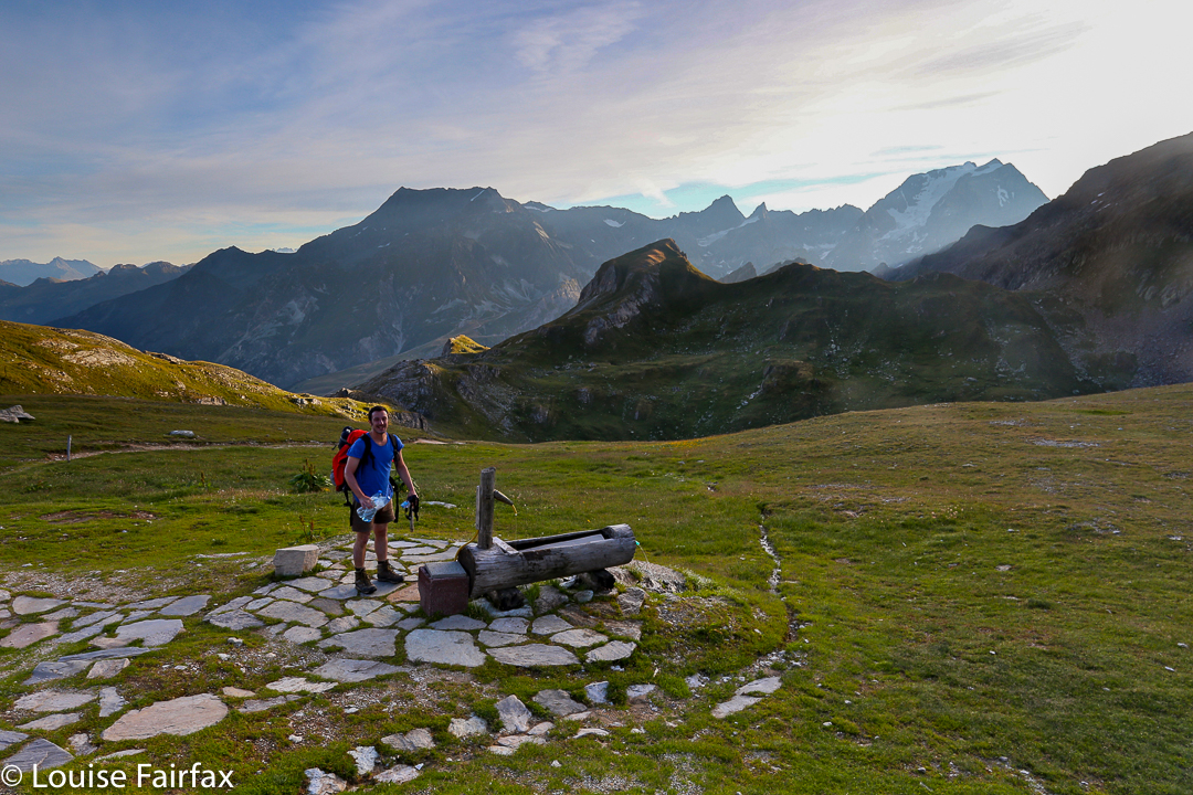

Julien leaves, nice and early, I was not quite that organised.
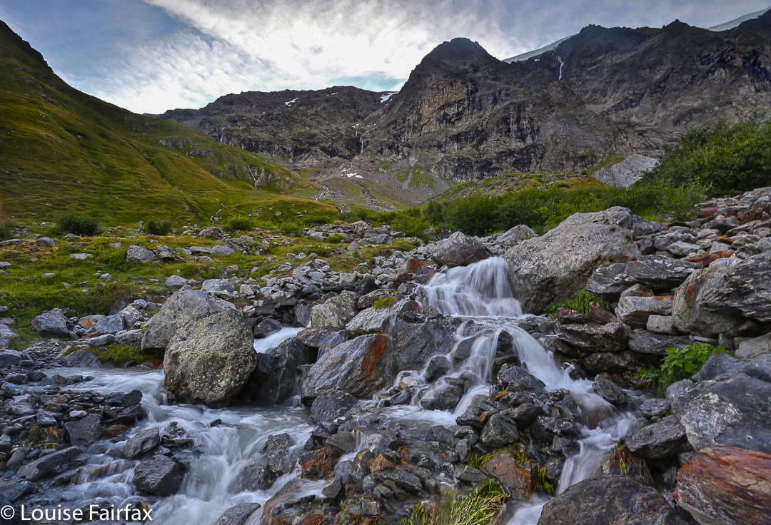

Friendly day-trippers I met along the way. These people come up from the valley floor.


Day 9. 27 July Final day. Refuge de Fond d’Aussois to Modane, and then bus and train back to Chamonix in time for a celebration dinner. My photos from this day are record shots only.

First Story. “Refuge de la Leisse”
I round the corner, knowing from the elapsed time on my watch that I should see the refuge where I’ll spend the night around this bend: the place of my fate and fortune for the next twenty hours. There it is, perched on the hillside. Having never researched these refuges beforehand, I always have an element of surprise on arrival, and, because of that, excitement. Will it be comfy or crowded? Will the people be friendly or aloof? I am greeted by three teenagers, eager to help the family business and obliging with attempts at English when my meagre French doesn’t quite convey my meaning. They break off carting food to the two horses to show me around.
In the Col

Combining our best efforts we manage to communicate. I am shown a tiny wooden building (outhouse dimensions) which is my shower should I require it. It has cold water, and is free, the boy proudly tells me. Below me is an equally tiny shed, a toilet apparently, which I will need to walk to during the night should I need it. For exactly this purpose I carry a headtorch. I’m fine.
The sleeping room, which contains an inordinate number of bunks smashed in on top of each other, is also wooden, and is very dark. The only light comes from a hole in the door at the far end. I am told that the darkest bed, bed number 48, is mine. I say I don’t like it; can’t I choose? I want light. He says people don’t choose. I ask why not and he can’t think of a good reason other than that’s the way it’s done, and, realising that is not an adequate justification for anything, acquiesces, and lets me have my bed near the light.

Leaving the refuge at the Col Vanoise (day 7).
Outside, the family is back, attending to the horses; an array of hens and chickens cluck around me as I plomp myself at a table in the sun. Ducks are dozing in the shade of the Salle à manger. I am in a verdant green bowl of grass and flowers, encircled by towering eroded mountains; there is a stream far below, which I intend to explore later, but the wildflowers have a greater claim on my attention. Clouds are gathering around the tops; we may have another storm this afternoon (which will once more ruin my chance of a beautiful sunset to photograph). The wind is picking up force, so I think I’m right.
While I sat with the dirty dish of my crêpe au fromage et jambon before me, staring at the peaceful scene, two parties of walkers from last night’s hut came through. We greeted each other but also said farewell, as they are going further. I have played hare and tortoise with these friendly people who have dubbed me The Singing One “celui qui chante”. They are lovely, but now our paths have parted, which is always the sad but eventual way of the mountains.

Arriving at the Refuge de la Valette (day 7)
 ……
It is time to explore the stream and flowers and to photograph before this storm breaks. Even in the time it has taken to type this, the clouds have taken on a much more defined shape and colour. Also, since sitting here in a random couch placed out in the sun, conveniently positioned to give me a vista of the valley, I was offered dessert, and ordered and ate the standby sweet of the savoie and haute savoie: fromage blanc aux myrtilles. This one was not as good as the norm, but the myrtilles are the nearest thing I’m going to be offered to fruit in a region where fruit and vegetables need to arrive either by donkey (the most common method) or by helicopter (prohibitively expensive). Right now I am hearing the teenagers giving the four walkers who have just entered the same spiel I got. These are no disenchanted, alienated, anomy-specialists here, but a contributing part of the family, and exercising their responsibility as such with élan. 

…..
Now it is several hours later. The tiny hut is filling up to an alarming degree as walkers continue to trickle in from the variety of possible directions, some looking fresh, others exhausted. Ones I recognise from previous huts greet me and we exchange stories of the route. Others, travelling in reverse directions to ours, tell us of what is to come. 

Morning breaks at la Valette

…..
After dinner, there was not much time before sunset. I couldn’t see many possibilities for a good shot, so just climbed a hill to sit in a hollow out of the wind and watch whatever was going to happen, without any particular photographic ideas in mind. Luckily for me, when drama began, I discovered I had pleasing foreground interest, and was satisfied with my results. I returned to the hut, thinking everything was finished, only to discover that the sky behind the refuge was turning pink. I looked at my result on the screen and let out a whoop of joy. Others from the hut came scurrying up to me. “Montrez- moi s’il vous plait”. Suddenly I had new friends. It was all too beautiful to go to bed. The others turned in, but Mathilde and I stood there together as the sickle moon and stars became brighter and the sky turned to ink. The moisture in the air condensed to clouds in the valley below.
Uncharacteristically, I needed the toilet twice during the night. The first time was at midnight. To my amazement, the clouds had risen, and mist enfolded me as I mooched my way over the terrain to the tiny building that served my needs. At 4 a.m., on the other hand, the clouds had gone, the moon had sunk just below the horizon, leaving a mild glow as residue, and the stars were shining. The mountains around were dark silhouettes in the sparkler sky. I stood on the balcony, leaning on the railing, admiring.

Soon enough after leaving next day, I caught three friends whose route had run parallel to mine for a while, but now it was time to say a sad goodbye. Our paths would diverge forever around the next corner. Life in the mountains is full of these warming yet temporary meetings of kindred spirits. We gave the standard French double kiss and bid farewell, each promising to write. Parting is always such sweet sorrow, a microcosm of life. On I continued alone, in song, rising up to the next Col where I would be greeted by plentiful flowers, a quiet, rippling stream and countless marmots.
In fact, as it turned out, our paths did cross one last time. In the Col, I decided to climb an extra little something off to the side. On my return, I found a little bunch of flowers attached to my pack. I knew the donors. When I passed them for the really last time, we hugged warmly. It’s amazing how small gestures can fill you with such a glowing feeling of human connectedness. Bring on the next hut.

Second Story. Last full day.
I look out the refuge window – another huge one – and watch the colourful ants (daytrippers) scurrying in busy lines, disappearing down the valley to the towns way below, and as I watch I reflect on another wonderful day – beginning with a wonderful sunrise and clear skies. For the first three and a quarter hours, I descended, traversed and then climbed again, on a path with fabulous views – a narrow path, kind of contouring and dropping in turn along a steep spur. Even more dominating in my thoughts were the myriad clear, cascading streams and the multiplicity of flowers. It was very green and colourful.
Today was typical of randoneur life. I had made new friends sharing dinner the night before, but had to leave them as our routes diverged. Julian, whom I had met yesterday, and I were the only ones doing our route, and he had left before me, promising to write. I set out alone. A few hundred metres along my way, however, I heard my name being called, but decided I couldn’t be hearing that, or that some other Louise was being summoned. Eventually I turned around. There outside the dortoir was the artist I’d had dinner with, calling to wish me a happy day as I departed. I waved and with a smile continued past “marmot rock”. The drop to the valley was monstrous: rocky shapes stood out in stark relief. The sun blessed the tops of the surrounding mountains with its warmth and light. The plants I passed were frozen. I wondered if Julian had noticed.
An hour or so passed by – during which time I had actually seen Julian, he’d made a wrong turn in a very confusing section, and was now hurrying along to make up lost time.
Before I say this next bit, I must stress that we were in a highly remote area of a foreign national park, and that I had now farewelled every friend I had made, all of whom were heading in different directions to me. It was now time to climb the Col d’Aussois, which undertaking the sign said would take 2.5 hours. Given how hot and now tired I was, I couldn’t count on my usual trick of halving the numbers.
Up I went. There ahead was a colourful group, snacking on a rock. There was a man waving at me. Yes, I know this group. “Bonjour encore, encore, encore,” I called, and they called the same back (the multiple encores being a joke we shared, as I kept passing them , but then stopping to climb an extra this or that, and so passing them again). I very willingly shed my pack to tighten my plait and chat with them, and work out how on earth it was we were seeing one another again.
Up I climbed again, lost in a world of rock and heat and sweat, moiling my way up the steep slope. “Louise,” I hear yet again. This is getting funny. Again I ignore it. The call cannot be for me. Louder it comes and repeated. There is Mathilde, farewelled several days ago after the cute refuge de la Leisse. She was coming down while I ascended. We greeted with hugs and kisses, and once more sloughed off our packs to chat for a while and catch up on each other’s story of the journey, our individual pilgrimages south.
Off I set again, and at last the col was reached. It seemed to be the longest and steepest so far, but maybe it was just the heat of the day that gave that impression. I dumped the pack by the cairn in the pass and set off to climb to the Observation Point, a rocky spire that looked about ten minutes away. This was a real climb, and there were endless possible ways to “attack” it. Yet again, I hear “Louise” called. Yet again I ignore it. Yet again it is called repeatedly with increasing loudness. It was Julian. Unbelievable. What was he doing here? He explained. We chatted and then separated for the final time.
The rest of the journey was fairly quickly dispensed with – a steep descent lasting an hour that brought me to my chosen refuge for the night. Now I am sitting by the window smelling fabulous smells as the friendly staff members prepare dinner. If the rhubarb tart I had on arrival is any indication, it should be a memorable meal, which is fitting. Tonight is my last night of this (for me) three-stage journey from the north to the south of France on foot (GR5). How sad.


FRANCE-SWITZ Haute route 2012

FRANCE-SWITZ Haute route: Chamonix to Zermatt 2012 July
The Haute Route from Chamonix to Zermatt is such a classic and famous high-level walk, you would think it would leave an indelible mark on my psyche, would fill me with waves of nostalgia for its beauty as many of the other paths I’ve done have the capacity to do, and yet, there is a certain something that is lacking in my emotional response to this route. It was filled with beauty, indeed, and we met some great people, but I guess the problem is that, unlike on almost every other trail we’ve done, we did not meet anybody at all who was doing our particular version of this route, and the friends that we made were only with us for two to three days at most before our paths diverged – a byproduct of the many options on the haute route. There was no air of shared excitement or pilgrimage; everyone doing it was pretty matter-of-fact about the task. It was just another route. Also, several people had guides, and it seems to be the case that people with guides form their own, closed circle and don’t readily mix with others. I have learned that beautiful scenery is only one of many components of a great walk.

Once we crossed into Switzerland, everything changed. Here is the first hut after the hotels at Champez du lac – Cabane Mont Fort. We felt it looked like something out of a fairytale, perched high there on that hill, and yet it felt strange. Not one person spoke to us. We wondered who was doing our route, as there had been walkers going in every direction from Champez, although nearly all of them were doing the Tour du Mont Blanc. Now our route had its own funnel. The hut was crowded, but we were alone.

Sunrise from the next hut, Cabane Pflafleuri. We still hadn’t made any friends, or met anyone who was doing the haute route.

Friends or no friends, the sunrise was beautiful. but the lack of friends made me realise that, much as we think beauty sustains us, we are, au fond, social animals, and beauty combined with meaningful human contact and fellowship is the best recipe for an enjoyable experience. Normally I make heaps of friends in the mountains, so this was a new experience.

After Cabane Pflafleuri we climbed up and over the Col des Roux, to emerge at a window revealing this beautiful valley, at the end of which  was our next cabane, Cabane des Dix. On the way, we made our first friend, a Parisian, Fabrice. At last there was someone else to share the joy of the journey with, to laugh with and to get to know.

Nearing the cabane des Dix

Rugged beauty, but nothing too challenging for a man with Parkinson’s Disease.

And there on a rock was the Cabane des Dix.

The beauty thus struck me as a lonely beauty, even though my husband was there with me. On other trails, the beauty remembered as the years go by is one that sits within the context of the camaraderie of the other friends we made doing our route. In addition, we have never found Swiss huts to be as friendly as their French or Italian counterparts, where ad hoc rough and tumble are more the order of the day. We didn’t enjoy the strict regimentation that came with the world of Swiss mountaineering, being told exactly which bed to sleep in, which table to eat at, and being rationed out one pat of butter, one tiny packet of jam and two slices of stale bread to furnish us for a hefty day’s hiking. The bread is always stale in mountain huts, but at least in most places it is plentiful

Sunset that night was a treat.


At breakfast, Fabrice ran into trouble with the gardien. He didn’t want one sachet of instant coffee for breakfast; neither did he want one tea bag. He requested hot chocolate instead (like I had somehow received, also refusing the other two items). He was told chocolate is only for children (me?) and that he had to imbibe an adult’s drink. He was not amused. We chewed our stale bread in discontent.

After the Cabane des Dix, you have a choice of two passes, both of which contain elements of risk and danger. One has loose stones with a big drop off. The other has monstrous ladders reaching into the sky. I wanted to take the latter, but had decided to take my husband down to the valley first, as neither pass was suitable for him. British climbers overheard this, and came up to me and offered to rope Bruce up, if I could get him over the glacier and the ice bridge with mini-chasm below it first. We set out ahead of them to enable this, and there was Fabrice, who also wanted to come with us. We appreciated his company as much as he did ours. This is a pass that is better negotiated in company than solo!! We were there waiting for the Brits (I think that surprised them), who roped Bruce up. He bounced up the ladders like an adept monkey: all he needed was the confidence to know that if he fell, he wouldn’t die, and, knowing that, of course he didn’t fall.

Approaching lac bleu with Fabrice
Fabrice wanted to visit lac bleu, reputedly very beautiful. I had been unsure, as it is on a chemin difficile. However, we were enjoying his company, so put lac bleu on the list, and brought our accommodation forward a bit so as to spend the time in his company (we never make bookings). Our paths would diverge next day, when we went back up to high ground, and Fabrice stayed low. It was sad parting. We’d had fun. I can still hear him at times telling me not to tread on the beautiful flowers in the field (when there was nowhere else to tread). I love a man who cares that much about flowers.

Bruce swimming in the freezing lake.
The next day we climbed back up into the snowy stuff again. The hut we had chosen was higher than on the official route, but we wanted to be there as the views were said to be good. It was truly amazing. Below is Bruce in the early stage of the climb.

And below again, he is sitting looking out at the most amazing view I have ever seen from a hut. This hut sold nice cakes, and we had a tasty dinner, even if we were told exactly where we had to sit and with whom we were permitted to talk.

Cabane de Moiry 

Sunset was pretty spiffy

Early next morning, I was up, as usual, to photograph whatever there was to see. Lots of climbers were setting off already.
Leaving this hut next morning, I had one of my less happy experiences of the trip. We had to cross a  band of ice about 20 cms wide, with a big drop into frozen realms below. I got Bruce to wear our one pair of crampons, so I was in shoes with little grip, and carrying his pack which is way too big and which threw me off balance a little as my back is very small, so it came down and bashed my legs. I didn’t have it done up in case I fell into the lake below and needed to rid myself of it, so it swayed around and the ice was slippery. I was shaking when I’d finished this bit.

View from the cabane Bella Tola, two nights later
Down we went to a dam where the lady didn’t want to serve us. There we met our second friend on this trail, who was also denied service. I can’t remember why. Perhaps we were not there in regulation hours. Somewhat hungry, the three of us set out up the steep pass, each at our own speed. I like to treat a mountain pass as a decent workout. It can be cold waiting in the wind at the top, but I just can’t resist a nice fast climb. When Bruce joined me, our new friend was a speck in the distance, and I was frozen, so we didn’t wait, and plummeted down to the valley (Zinal) where we were staying the night. I think that’s another reason why this route doesn’t thrill me as much as many others. Too many nights were spent in hotels (very nice ones) in valleys rather than in huts high in the mountains, which is where I want to be. Mostly, we were high in the middle of the day, and down low for the part of the day that matters. I’d prefer it in reverse, but it wasn’t possible, as the huts weren’t there.

Climbing toward Meidpass
The towns at the bottom are quite small by town standard, but big enough to lose friends in. We didn’t see the friend we’d made until the next day, after he’d finished and was hiking without his pack just to finish things off. It seemed a rare thing to be doing the whole route.

Bruce near the Weisshorn on our descent to Gruben for another valley sleep. The weather was changing. I didn’t take any photos at all in the final stages of the trip, as clouds closed in, and there was no point taking photos of Zermatt in anything other than ideal conditions. I used to live and train there each year during racing season. I have myriad photos of the town dressed for the ball.

Senecio doronicum

Flowers in the fields near Cabane Bella Tola. The flowers between Zinal and Zermatt were numerous and glorious.  By then, the route had dropped out of the rock and snow and was primarily in the high pastures.
It was fun for me to walk part of the Sierre-Zinal race that I used to compete in – run in a daze reading my body and the bodies of my competitors, concentrating hard, monitoring breathing and energy. Now I could just relax and sniff the flowers and enjoy things at a more leisurely pace.
Alas, Zermatt and Taeschtal were anticlimaxes for me, as I knew them so well, and they were drab in that grey outfit they chose for our arrival. No matter. The point for us hadn’t been the arrival at the end, it had been the journey, and we had seen many wonderful mountain sights.

ITALY-SWITZ Tour de Monte Rosa 2014

The Tour de Monte Rosa

The Breithorn from the glacier

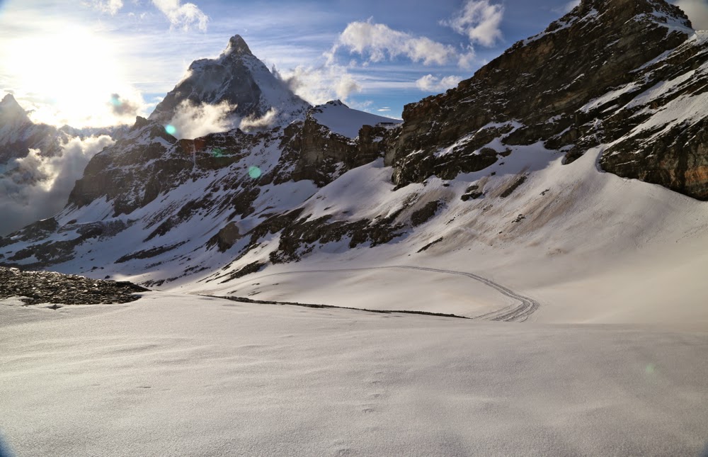
Heading for Theodul Pass – the mist hadn’t descended at this stage
Twice I made plans to do the Tour de Monte Rosa. Twice I tossed them. Many more times I looked at my Cicerone book about the tour and kind of shrugged and dismissed the idea of doing it. Why? First, it made the crossing of the Theodul glacier into such a big deal I didn’t think I could get my husband across it without either a guide or harness and ropes that I didn’t want to lug for the rest of the trip (or both). Second, it made the whole thing sound rather unattractive, so that even if one overcame the glacier, one was not, so it seemed, rewarded with beauty as a result. However, I’d bought the book as the idea of circling Europe’s second highest mountain had appeal, and I’d done TMB four times, and the haute route and more. I wanted something new. The book sat on my shelf as a kind of challenge. I was sick of having it there and decided that this year was its last chance. We would set out and go as far as we would go. If we failed we’d give up forever. If we succeeded, then … what? We’d see what lay the other side of this terrifying glacier.

Arriving at Rifugio Theodulo. Hoorah.

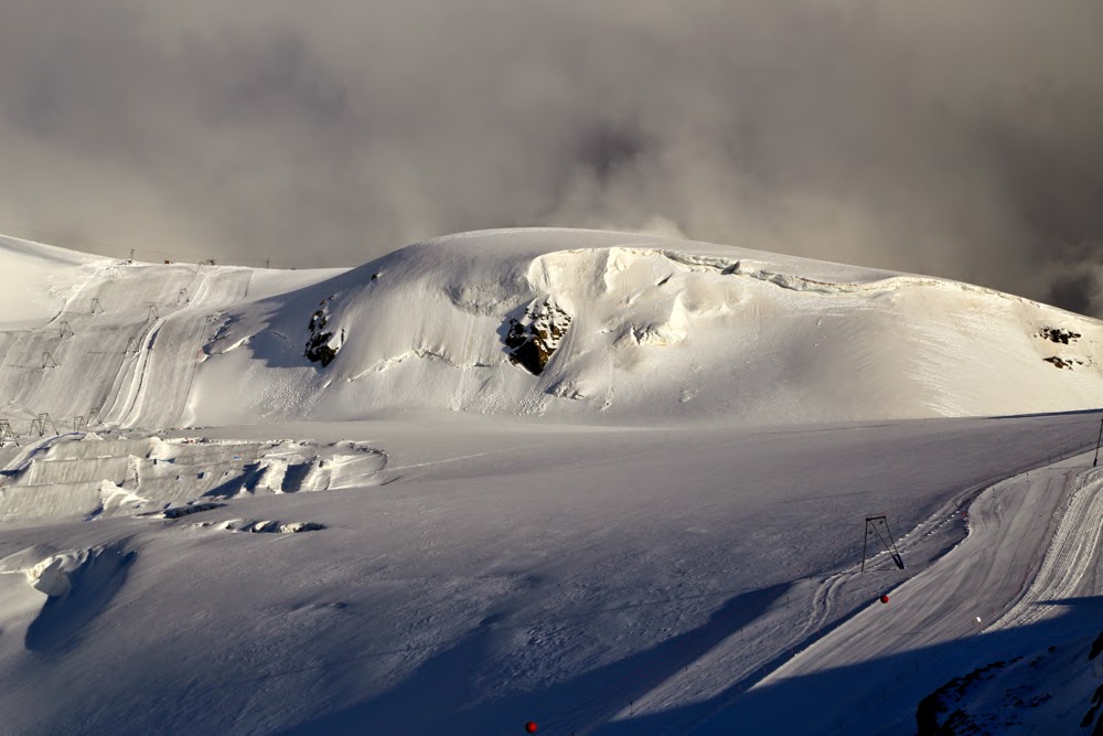
Our route for the next day is to follow those ski lines.

The mist lifts, but the sky still looks menacing
We were not the only scared ones. If you surf the web, you’ll find questions by other intimidated people, and every traveller I met doing the route who didn’t have a guide wanted to know how it was: was it as bad as it sounded, did they really need a guide or a harness and rope, etc? Others opted to start just after the glacier and finish in Zermatt, just before it, so as to avoid it. I decided that we would begin in Zermatt and do it first so that it wasn’t hanging over us the whole trip. If we failed, there were other walks we could do. And with that philosophy, we tentatively set out, happy to be underway with a real pack at last, but apprehensive about what lay ahead, especially as the weather was not looking good, and it worsened as we climbed.
By the time we reached our lunch spot at Gandegghütte, which normally has a brilliant vista of the Breithorn – but today had a good view of our feet – rain was starting to fall. We got in just in time. The rain had until we’d eaten our Penne Arrabiata and drunk our warming hot chocolate to clear. It didn’t, but it switched to snow, which I’d prefer any day.

The view after dinner

Wildflowers in the valley next day
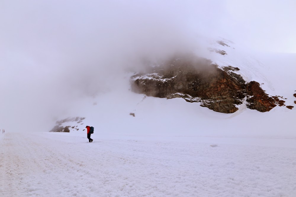
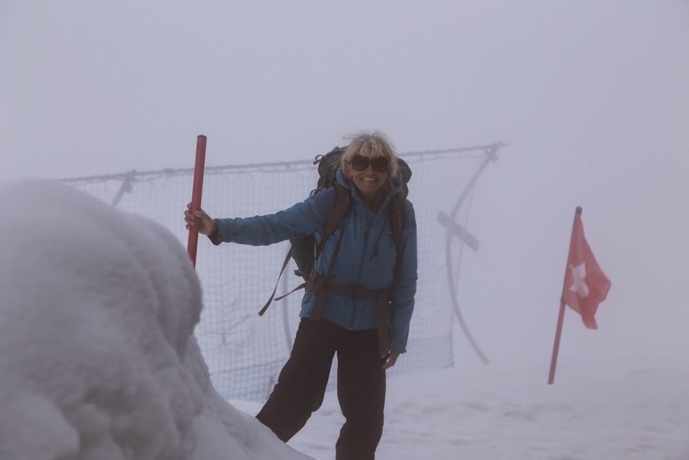
Now, one of the things the guidebook insisted on was that if one is so foolhardy as to go on the glacier without a guide, one should at least never go in cloudy conditions when dangerous crevices would be hidden. The people at the information centre down below, however, had told me not to worry, so I didn’t let the fact that we couldn’t see faze me, although I grew less comfortable when visibility was so reduced that I couldn’t see which way was up. The ground was totally invisible to me, and I found it rather eerie – but that was only the very last, steep part. For most of the route where we were on the glacier, we could see enough to follow the tracks made by skiers, and the clouds even parted now and then in the first section.

Descending after Colle di Bettaforca to a different view of the Monte Rosa

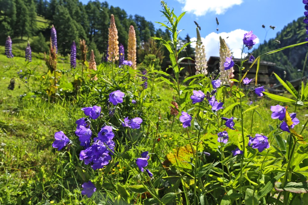
Campanulas in the grassy valley down lower 

Marmot near Rifugio Gabiet
After we left the security of the hut, I could tell by Bruce’s facial expression he was worried, but I was confident about what I was doing – namely, taking him on the route for as long as I was comfortable about our safety, and turning back and returning to the Gandegghütte the minute I felt threatened by the conditions. We hit a section that was steep enough to have Bruce a bit uncomfortable, but not enough to make him want to back out. I could hear him panting, but we were at 3300 metres asl by this time, so that was hardly surprising. I went on to kick him some more steps in the snow. (He has Parkinson’s disease, in case you’re wondering about this guy that lets me do everything. He can’t help it.)

 Still below the snow line, climbing towards Col d’Olen

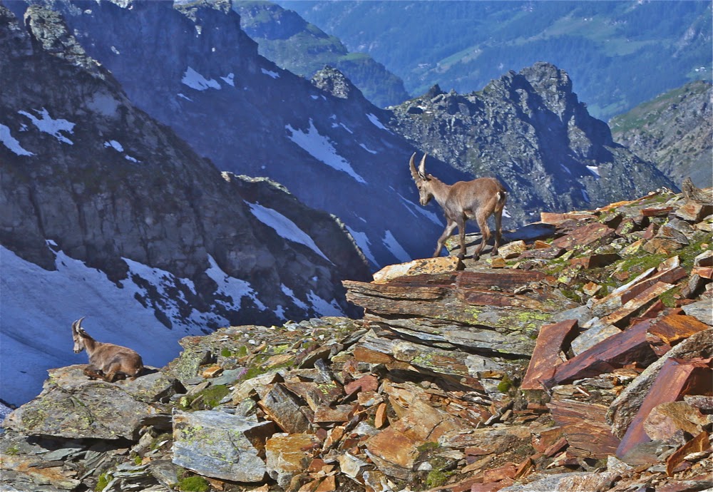
Ibex above Col D’Olen

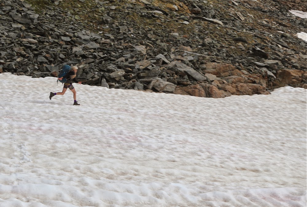
Me, having fun running down the ski slope
Suddenly, and completely out of the white, my feet touched flattened ground. If I took two more steps, I would be descending over the other side.
“Bruce,” I screamed with delight, “I must be on the pass. The ground here is flat.” He was thrilled. Grimace changed to thankful smile as he fought the altitude to join me.
“The hut is supposedly two minutes in that direction,” I continued, waving my hand off to the right where the theoretical hut was to be situated. It was not manifest. Off we set in faith, and sure enough, in 1 min 50 a door appeared about two metres in front of me. We had arrived. We felt as if we’d attained the impossible, and were totally elated. I didn’t care if we couldn’t do another step on the TMR. Just to have achieved this seemed like victory enough at this stage. It wasn’t that it had been hard: on the contrary, it had been dead easy. It was just that our expectations of success were so very low that it had felt like mission unreachable. Anything more was a bonus.

En route to Rifugio Pastore, day 4

Dawn on day 5, from Rifugio Pastore
Gradually the hut gained more people, and we got to chat to three Spaniards and two Belgians who had done the route clockwise (as opposed to our anti-), and who were able to tell us a bit about what lay ahead. Again, our guidebook was quite pessimistic, too often (so it seemed to me) complaining about the scenery not being pretty enough. These people, however, told me it was wonderful, and that was without getting views of the Monte Rosa, as it had been raining for them all week. A Belgian wanted to show me his photos to prove it. It was nice to meet with some enthusiasm for the route. Because of my guidebook, however, I only half believed them. Que sera, sera. The future would become ours to see.
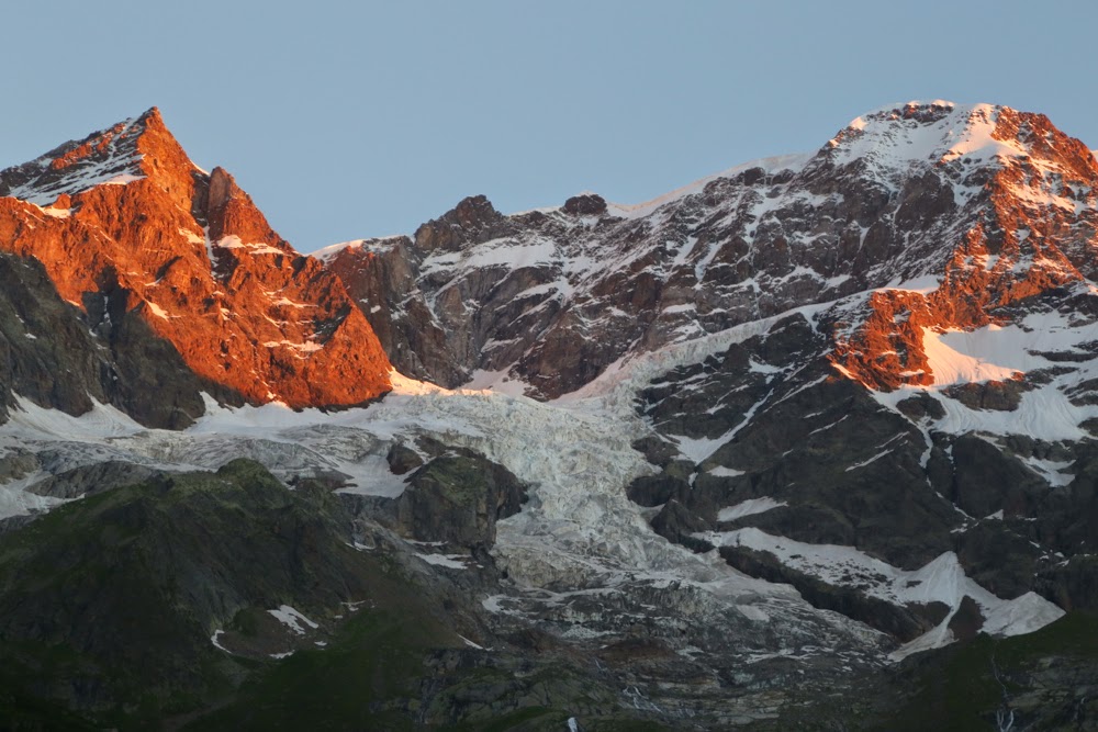
 “False route”, day 5 – but utterly worth it for the views

The path after the pass (Passo del Turlo), day 5
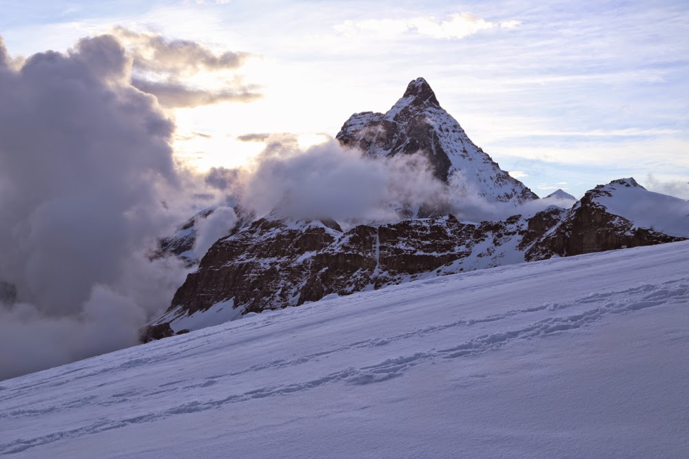
During dinner, our little cluster debated the whereabouts of the Matterhorn, most of us reckoning that it lay roughly in the direction of the bar, whilst one Spaniard insisted it was out the window. Lo and behold, it decided it had had enough of our uninformed debate and the clouds parted to reveal it leering in at us. Resounding victory to the Spaniard. I couldn’t believe how huge and close it was. Dessert was ignored. Out our group dashed to photograph this wonder. Bruce and I climbed higher and stayed out until our fingers were numb and the light had all but faded. At 3340 metres a.s.l. it gets pretty cold. The Spanish-Tassie-Belgian cadre then sat and gazed at beauty for another half hour in the warmth of the hut, our seats pushed against the glass. “This is the best TV show in the world,” I said in awe, and they agreed. Ironically, we later found the Danish group of 11 sitting around, gazing at the real, techno variety, watching soccer. I guess they differed.
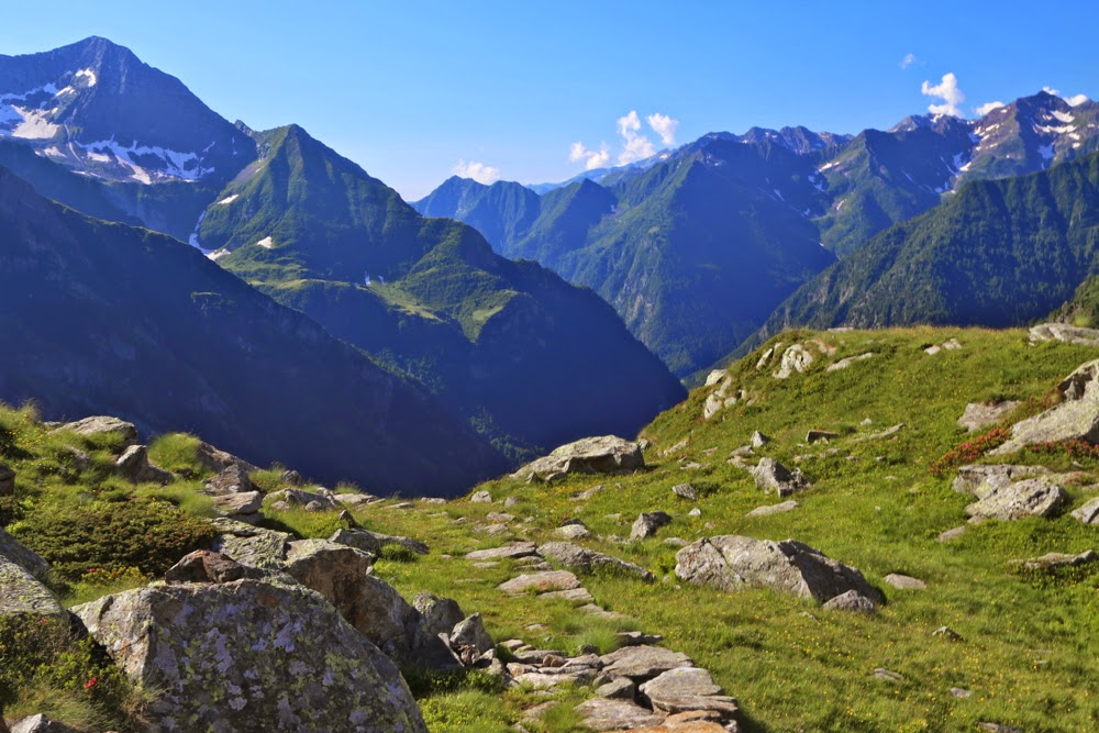
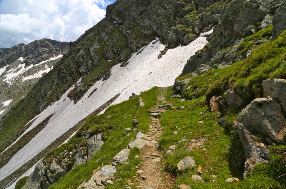
Final sunrise, from Rifugio Oberto Gaspari
Next morning was clear as we headed out, hungry after a “breakfast” that had been as bad and as meagre (not even any bread) as dinner had been delicious and plentiful the previous evening, following ski tracks down in a big arc with a snowy Monte Rosa off to our left, the Matterhorn to our right as we descended several hundred metres before rising again (with a huge descent and then rise to follow that), ultimately dropping from 3320 to 1860. As on every day, we alternated snowy vistas with green fields abundant in swathes of colourful and delicate wildflowers as we ascended over passes and descended to the valleys in between. In almost every hut, dinner was a celebration of delicious food, offered in multiple courses with seconds always available, and breakfast was often a pretty dismal affair. If you scored a bit of cereal it was pretty amazing. Juice even more so. For lunch, we mostly waited until we’d arrived at our destination, which we did by lunchtime on most days, and ordered delicious soup and sometimes a tart. That gave us the afternoon to explore the area surrounding the hut (and do a hand wash if climbing had extracted a nasty smell-toll on our clothes).

Early morning, Rifugio Oberto Gaspari
On one day (day 5) shortly after beginning, two people moving at a good pace came to an intersection in the path at almost the same time I did. We met and chatted and, as our paces were similar, kept together, talking and laughing as we went. I was aware that the distance between me and Bruce was widening, but I also knew the Danish group was moving near him, and that he was about the median speed of that group, so continued talking and laughing and climbing with my new friends. It was fun to have some company. There was a Norwegian up ahead who knew what she was doing, so we had no reason to check our location. After about 40 minutes or so, the Norwegian stopped for a sit-down, but we didn’t want to, so on we went. My new friends did stop for a bit, but I was still full of the joy of climbing, so decided to go on without them for a while, having seen from above that they were now following on.

Back into the mist; last morning.
The long and short of this story is that ultimately I had climbed an extra 500 metres to a different and wonderful high point that gave stupendous views over three of the Monte Rosa glaciers. I realised I had erred but hoped the Americans I had been chatting to would soon join me, so ate a peach and drank a bit (water plus scenery) whilst waiting for them. When they didn’t appear, I went back down and after about 100 ms descent, found them. We were relieved and delighted to see each other. I went back up to the top with them, and then we began the long descent back to a fork in the track that had been so covered by a stream that it had not been visible. The Danes, with the benefit of a guide who had done the walk a week before and who knew it well, didn’t have the same problem. The wrong track had actually been far more obvious than the right one, and there was no sign to indicate a fork. Now we were chasing Bruce. Rick was mildly upset, as his guide sheets said this was the longest day, and we’d just made it two hours longer. Anyway, we worked together, they providing me with nuts, raisins and tuna, and me kicking steps for them and encouraging them through snow that tested their comfort zone. We made a good team, and caught Bruce and the Danes just as they were stopping for afternoon tea.

Our penultimate day was our last day in Italy. We had adored the whole thing and I was sad to be nearing the border with Switzerland and the end of our trek. The map for this day showed contours so close together they almost presented a pure brown front. Bruce was feeling tired from the previous day just described, which had, indeed, been very long even without an extensive detour, so he decided to miss the contours and take a téléphérique that happened to go to a spot near our hut. I was happy. Now I had a solo hike done at my own pace up a nice steep slope, time to dream and enjoy the scenery, to take in the smell of the forest and the sight of that day’s face of the Monte Rosa, to enjoy the clear streams and to see how many marmots and ibex I could spot and nothing else to worry about.

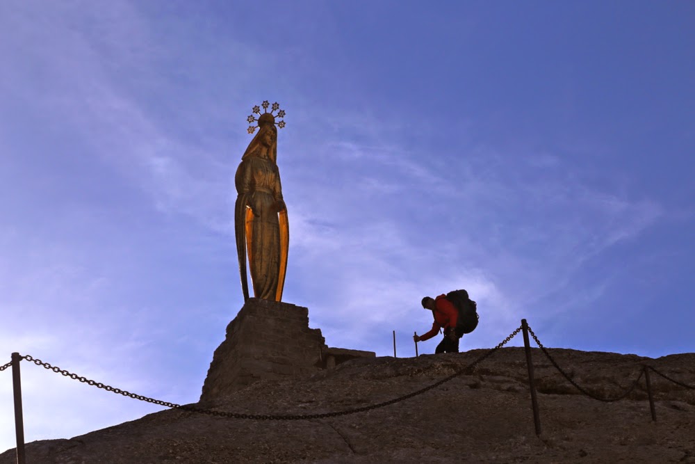
The mist clears to give us a glorious view of the golden madonna in Passo Motto Moro
I cut the advertised time in half, so when I saw a building ahead, I assumed it was actually the middle station for the cable, and was so convinced I had another two hours to go that I had to read the name of the hut three times to confirm for myself that I had, indeed arrived. Rifugio Oberto Gaspari. Last hut. It was bitter sweet arriving. That afternoon we explored the area of the pass, and I took Bruce over the start of the descent that worried him from above. The practise made him feel much better. Parkinson’s is a huge hindrance to confidence when it comes to descents on slippery snow on paths that don’t actually exist. (His “path” is often merely the steps I kick for him. A person without Parkinson’s mightn’t even think about the danger of falling, but falling is always a possibility if you have this disease, so thinking of the consequences is not amusing).

Just below Passo Motto Moro

On the final morning, after an exceptionally good hut breakfast, we set out nice and early – we had to reach Zurich via Zermatt this day. However, the ice was absolutely solid and as frictionless as a metal slippery dip. In addition, despite a glorious sunrise providing memorable photos, the clouds that had sat below the mountains for my paparazzi efforts had now risen to meet us, and once more we were in a whiteout. I couldn’t find the via ferrata that had been so handy the previous day, and we lost time while I fumbled around trying to get us on the exact route we needed. It was all so simple when you could see. Anyway, at last we found the ferrata and used the steel ropes to prevent falling backwards as we climbed. Passo Motto Moro, that we were heading for, has a beautiful and huge golden Madonna holding her hands out in a peaceful and welcoming gesture towards Italy, her back, perhaps symbolically, turned on Switzerland, a land that strikes one as being more interested in economic than spiritual matters.

We lingered a long time in this pass, playing, taking photos, fooling around. We didn’t want to descend, as descent marked the end of Italy, the end of our walk and the end of our whole trip. Besides, we needed to give the snow a bit of time to soften enough for me to kick some steps. Neither of us fancied a slide of several hundred metres for a record breaking time with crash at the end. I think Bruce found this route testing to the edge of his scare-limits.
I will be back, as I adored it, but I fear it will have to be solo next time. I’m so glad I gave the route one last chance before giving up on it, and that Bruce got to experience its unique beauty before his Parkinson’s made something that challenging an impossibility.

ENGLAND Lake District 2014

Heron Pike (view)

As in many previous years, I used England as a warm-up for my husband – a kind of transition between his semi-sedentary job and the demands of walking all day, every day over mountain passes on the continent.

Grasmoor view

This year, I chose to go “peak bagging” in the Lake District. I use that verb as a shorthand to describe our activity, but as I look at my four maps of the area, with the routes we’ve done highlighted in yellow or orange in a spiderweb configuration, I realise that it’s far more about ridges and routes than the summits themselves, even though we visited each summit in question. The best views and the most exhilarating experiences of nature’s wonderland are often to be had on the way rather than near the summit cairn.

Mellbreak as seen from our window

Before we left, I pored over my existing highlighted routes, plotting the best bases for filling in the gaps that remained. The Buttermere area was a definite, but as that village is either booked out at the cheap end, or too expensive at the other, I selected nearby Loweswater as our first base. Kirkstile Inn, with its wonderful view out our window of Mellbreak, a fabulous fell, was my choice, and we loved our time there.

Climbing Mellbreak

I didn’t want our whole twelve days in the one spot, so also opted for bases in Patterdale and Skelwith Bridge for variety of peaks and experiences (the latter being chosen more on grounds of nostalgia than access to unclimbed peaks).

Loweswater, dawn

We arrived excited to be there at last after 40 hours’ travel. We weren’t really hungry, but had some soup just to call it dinner; we were far more eager to stretch our legs after such a long time sitting, before official bedtime claimed us. Heron Pike didn’t seem all that far away and the evenings are long … off we set, straight up a direct line from Grasmere, where we were spending the first  night.

Climbing Low Fell (the face of Whiteside dominates the left half of the scene)

The next morning we were up at 4.30 with the approaching dawn, so set out walking with no particular plan. We just wanted to enjoy being there and to see whatever we would see. I can’t resist going up when it’s an option, so put up with ‘flat’ for about ten minutes before the allure of an adjacent sharp climb dragged me with irresistible pull and we began a steep ascent of Heron Pike from a different approach, through the bracken and up rocky crags. I wondered if I was leading us straight into an impassable cliff face, but soon enough a sheep appeared and we were on the ridge line shortly afterwards to enjoy a much more scenic approach to the summit that we’d had the night before. We climbed two more peaks before dropping down, starving, for a hearty English breakfast. I’m surprised we weren’t rebuked for gluttony as we had multiple servings of everything available, and cleaned them out of prunes, grapefruit and muesli before beginning on the hot food. The English don’t serve breakfast until the late hour of 8 a.m., so this (early walk + edacity) became a fairly regular pattern. Our behaviour was either tolerated or not noticed, and no one saw fit to expel us.

Climbing Whiteless Pike

As we climbed over forty new peaks (in addition to many repeat climbs) in our eleven days there, I won’t give an account of each one, but will sect a few favourites from the mix.

Descending Whiteless later

In previous trips to this area, we have climbed the peaks (Haystacks, High Crag, High Stile, Red Pike) in the vicinity of Scarth Gap, on the southern side of Buttermere more times than I can remember, as we love that area, but we have never climbed any of the ones on the other (more northerly) side. I’ve always eyed them up and thought them a little imposing; they look very steep and quite sheer from the front. Thanks to the notion of peak bagging, however, we were challenged to try new mountains, rather than keep summiting familiar friends, and I’m so glad to have been prodded to do this.


Climbing Whiteside. Grasmoor provides the immediate backdrop.

Whiteless Pike is due north of the hamlet of Buttermere and looks over the lakes Buttermere and Crummock Water, presenting a rather inhospitable face to both. A direct approach is marked on the map, but not exactly visible on the ground. My husband did not dare a direct approach, and I selected a route that went up the Rannerdal Valley beside the crags of that name and that then climbed steeply from that direction. It was a beautiful way, with a fabulous, narrow ridge before the summit that offered extensive views of shining waters below and layers of mountains above. The grass was lurid green. My husband was rather unnerved by the ridge, but tolerated it, whilst opting not to return home in that direction. Once was enough. Still, there were other peaks to climb before that became an issue, and we enjoyed the views from four more before I showed him how he could get down on a less confronting route. I wanted to see the ridge from the uphill direction and see the lakes with a now lower sun, so I arranged his pickup point and set out to climb some more before dropping and joining him. It worked well. The possibilities for that kind of separation make England very suitable for us.

Grasmoor as seen from Whiteside

The third peak in this foreshore lineup, Whiteside, lies to the NE of nearby Crummock Water and flanks the other side of Grasmoor, yet another hulk with fabulous water and mountain views. This one we did take head on, with Bruce tolerating the mild level of exposure very well. It was the peak beyond, Hopegill Head that had him challenged as we approached. “Where are we going?”, he kept asking, as I headed him for it. I knew it would be much less threatening at close quarters when he could see the route up, so just kept responding vaguely, “Oh, ahead”, (waving my arm broadly), “in this direction.”

And this is taken whilst descending Grasmoor, looking towards Whiteside
As predicted, the actual route was less confronting than his fears. The next question was: “Are we going back down the same way?”
“No. You’ve done all the tricky stuff now. We’re just going to climb that nice one ahead and then drop back down the valley using Liza Beck.”
He knew Liza Beck from the day before, so gained in confidence. From the top of Grisedale Pike, we could see not only Keswick way below, but peaks that I used to run up from Keswick when I was training there (Cat Bells, Maiden Moor, High Spy and Dale Head). It was pleasing to greet old friends unexpectedly, out of context as it were. I hadn’t bothered to look at the map to see what lay beyond my present focus of interest.
Sheffield Pike

My third favourite peak was also done from our Loweswater base, and was the peak we looked at out our bedroom window at Kirkstile Inn. We woke up seeing it and went to bed staring at it, and said “Hi” to it any time we happened to visit our room. The side that faced it was another “in your face” slope, and I knew there was a route that went straight up that slope, so that was what I’d chosen for our first afternoon there. B attempted to come, but gave up when the route became somewhere near ninety degrees and he wasn’t comfortable with the distance he’d fall if he started sliding. He doesn’t have full control of arms or hands, so it was a good decision. He opted to wait for me on a spot we named below and just enjoy the scenery while I played above.

Elter Water
Before I close my account of the Lakes, I must put in a good word for Ian at the Old Water View, Patterdale. When we arrived there, he told us our daughter wanted us to call her. Ominous. This is not her habit. I jumped to conclusions that were correct. Bruce’s dad, aged 92, had died that day. Whilst the death of a person that old may well be expected, it brings closure on a whole relationship that has been treasured for a lifetime: in the words of a beautiful song by Celtic Thunder, “I never will forget him, for he made me what I am.” Dad was an amazing father – a wonderful person – and his model of how it can be done inspired my own husband, in his turn, to be a superlative father. Naturally, our children wanted to cry over the phone and to talk to us, just to hear our voices at length, as they adored their poppa. Ian made his whole bar area our private quarters so we could send and receive Skype messages and conversations, not only with our daughters, but also with Bruce’s brothers who wanted to talk arrangements. Even after we had checked out, Ian declared his place open to us – just pop by any time we wanted to use wifi and use his facilities. He was very supportive, and refused to appear put out by the fact that most of these conversations were taking place at midnight English time, and that he was being inconvenienced by it. The staff at Skelwith Bridge Hotel, two days later, were similarly very understanding and tolerant of phone calls coming into their hotel (and being conducted in the lobby) at odd hours. (Wifi in England usually only works near the main computer).
Pensive son. Glenridding Dodd
I should also mention that, if you’re in the Lakes and wondering about where to park to climb a mountain, or about the various possibilities for climbing, a website that I found indispensable, and which offered wonderful photos without overkill, was David Hall’s site, to be found at http://www.davidhalllakedistrictwalks.co.uk

ENGLAND South West Coast Path 2011 and 12

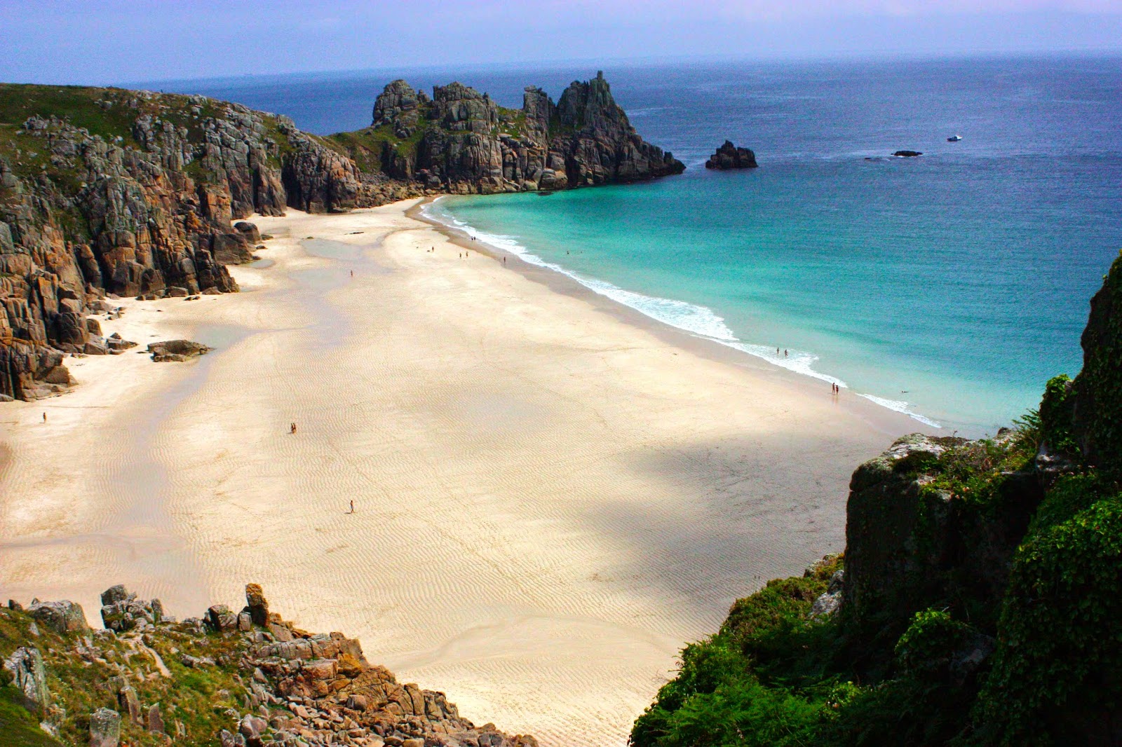
Logan Rock 

When we began the South West Coast Path (Cornwall) we did have a small idea of what we might expect, having done a chunk of the Pembrokeshire Coastal Path with the Oxford University Walking Club when based there. But that was Wales, and this was England, and I always have trouble ridding myself of the notion that England is unpleasantly crowded. I’m sure the big cities are. The country regions remain magnificent.

Near Port Isaac

Our starting point in both 2011 and ’12 was Padstow, plucked originally out of a hat, but having the advantage that public transport went there, and it had good press. We flew to Heathrow, caught the bus that went straight from the airport to way out west and sat for another five or so hours, had one more change of bus and we were there, over forty hours of travel accomplished (both times). As you might imagine, we arrived feeling that rest at last would be very nice. It was just after 5pm, so all offices were closed. The town was completely booked out. (Next year, 2012 we took the precaution of making a booking).

Padstow, first morning

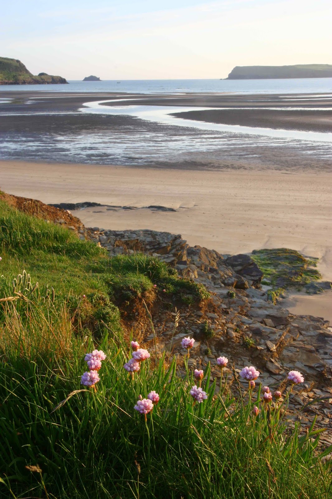
Oh well, the next village along the route was only 8 kms away. Might as well begin the trail right now. We shouldered our packs and set out, heading south west along the headlands. I have nothing against sleeping under trees, but unfortunately somewhere in that 8 kms it started to drizzle. We needed a roof over our heads, and a feed wouldn’t go astray either. In the meantime, however, the walking was a marvellous tonic: how wonderful it was to have the sea air massaging our faces, the light wind tussling our hair, to smell and see the English coastal countryside, the stone walls and English trees, the sheep that are different to our own, and the English wayside flowers. It was also grand to be moving after such a long period of sitting. This was the perfect beginning. In no time, the village appeared.

Near Tintagel 

There was trouble getting a room even here, but with the help of a friendly shopkeeper and an obliging family who were about to open a B&B but were not quite ready yet, we found a bed and roof, and the best breakfast imaginable next morning. That night we went to the pub for a meal, and I did the old slapstick comedy routine of falling asleep with my face in my lasagne. It lacked originality.

Near Boscaslte

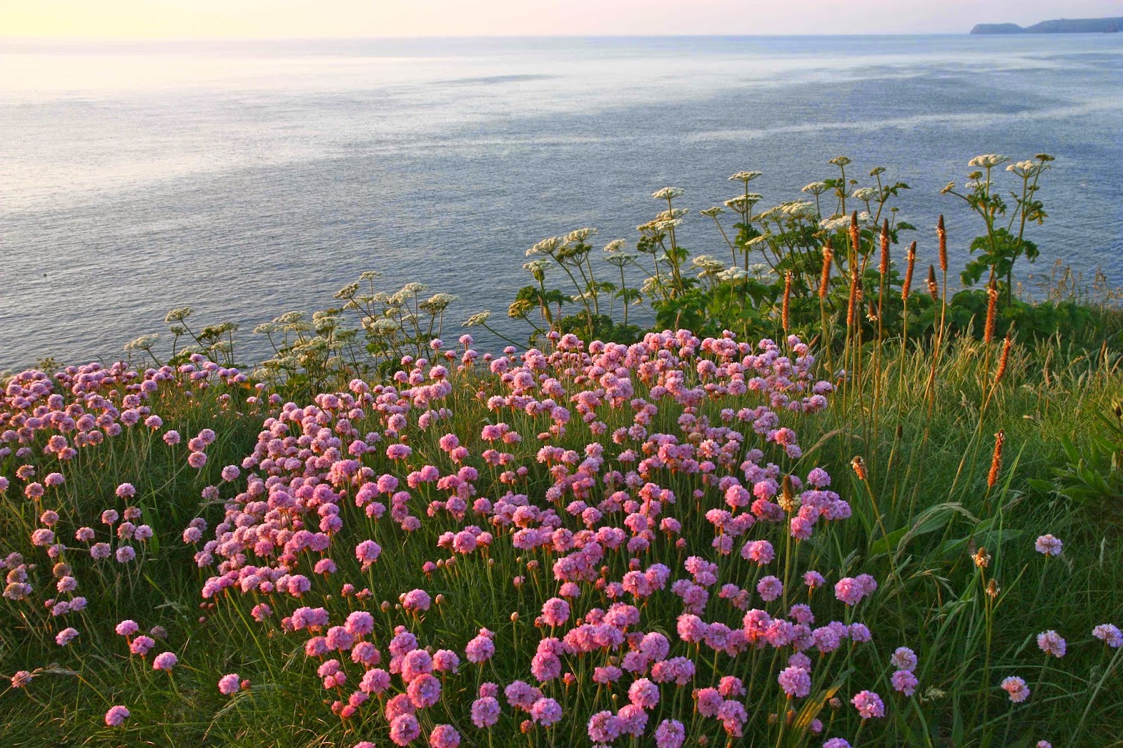
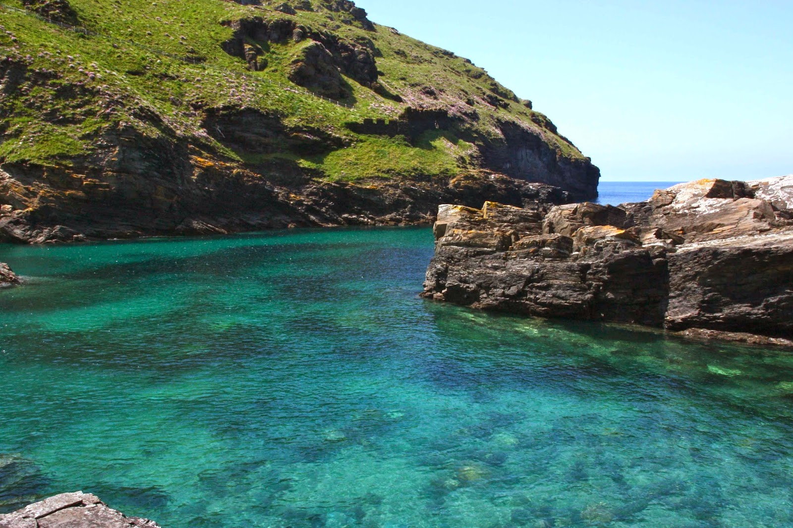
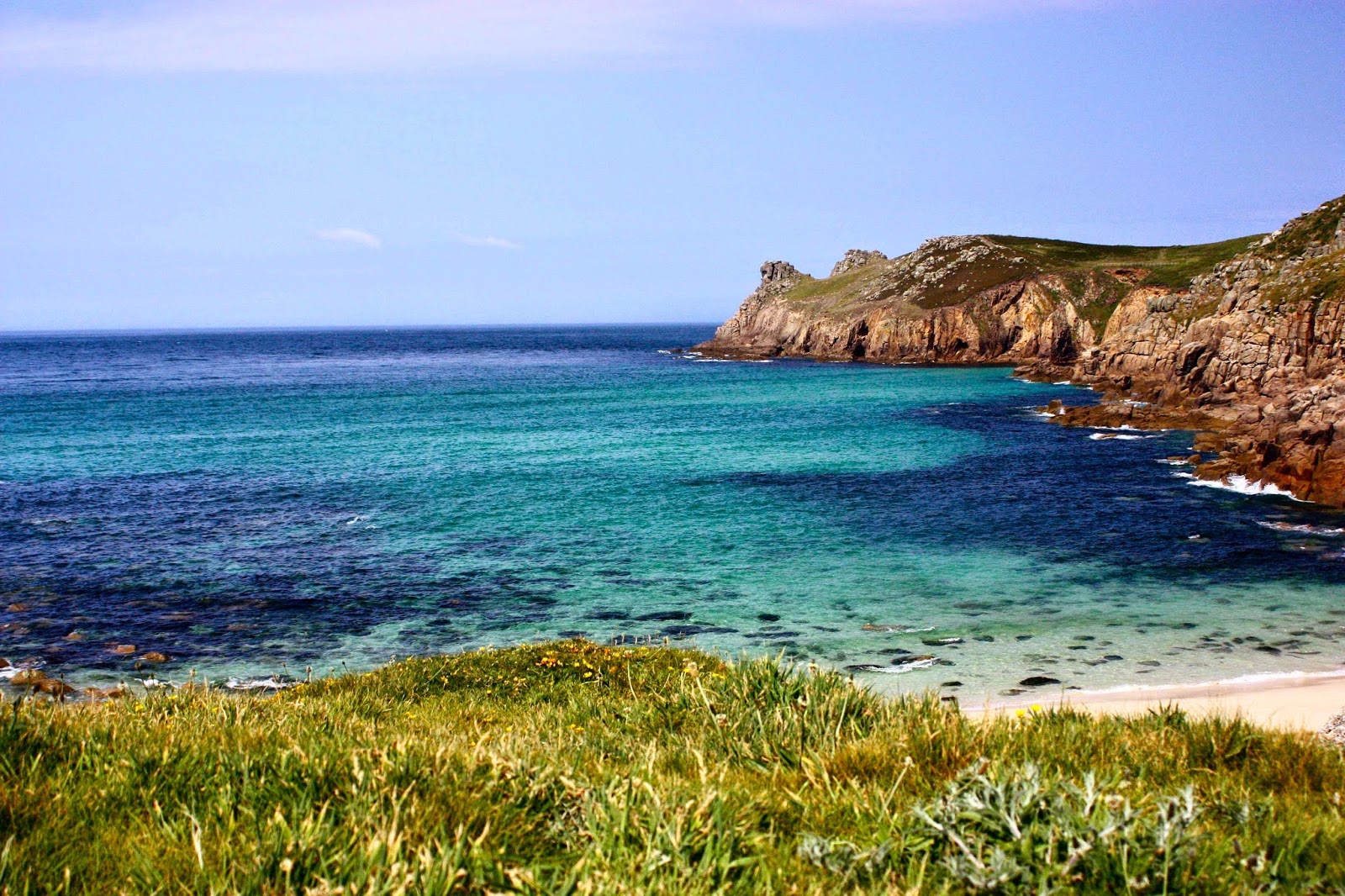
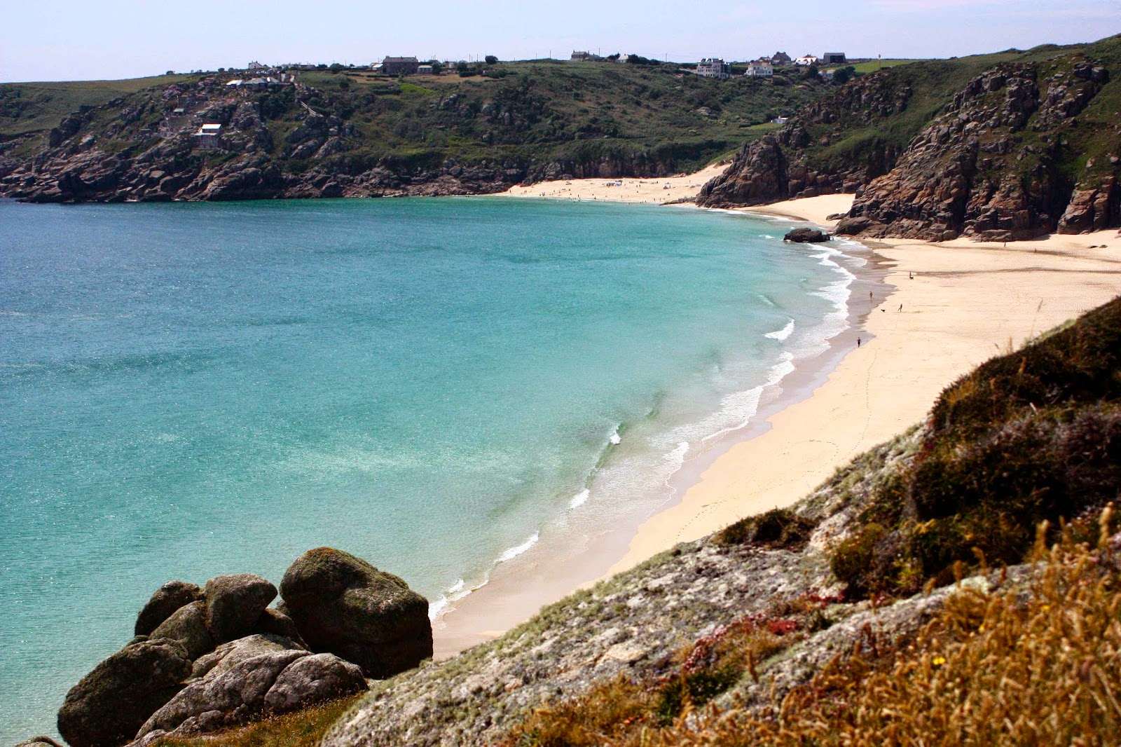
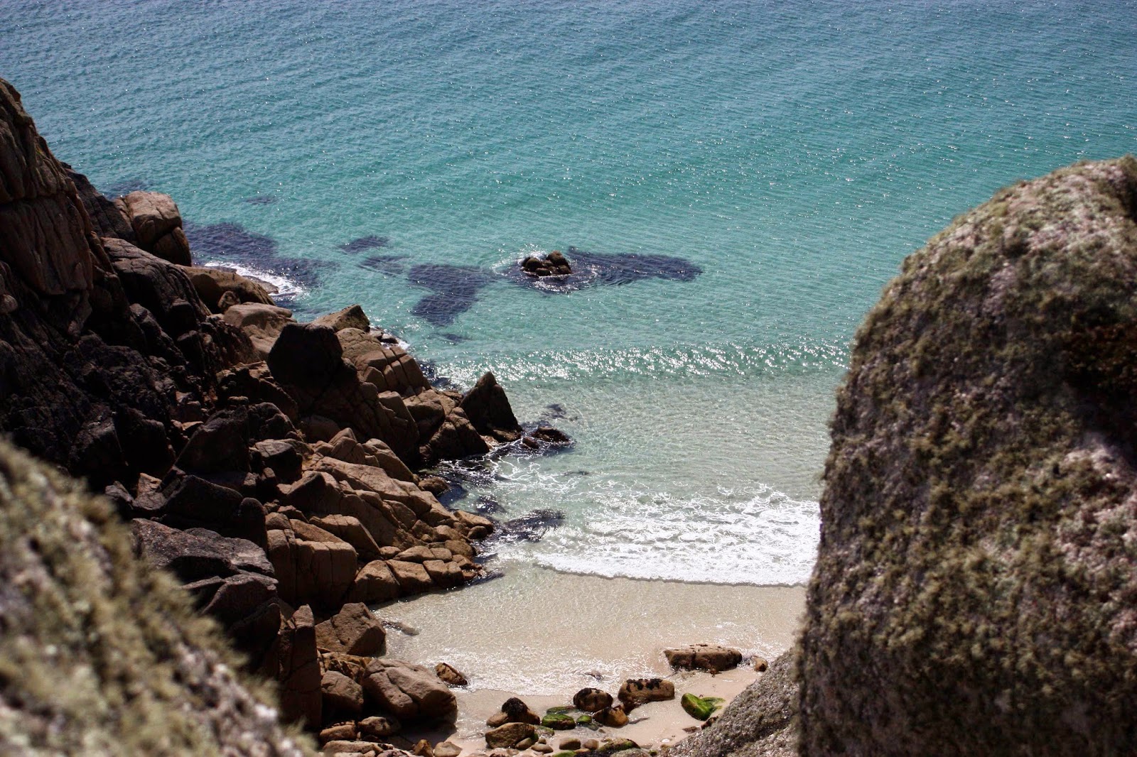
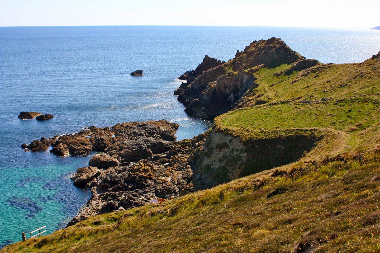
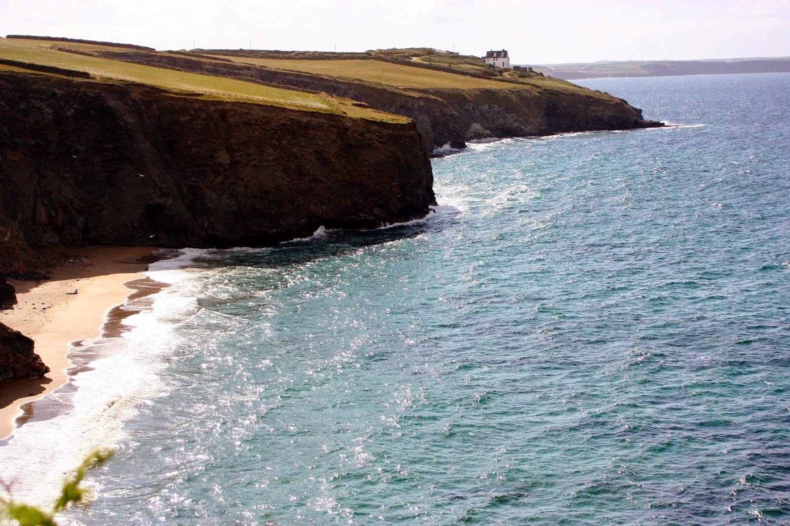
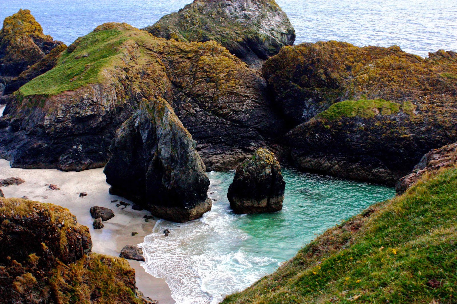
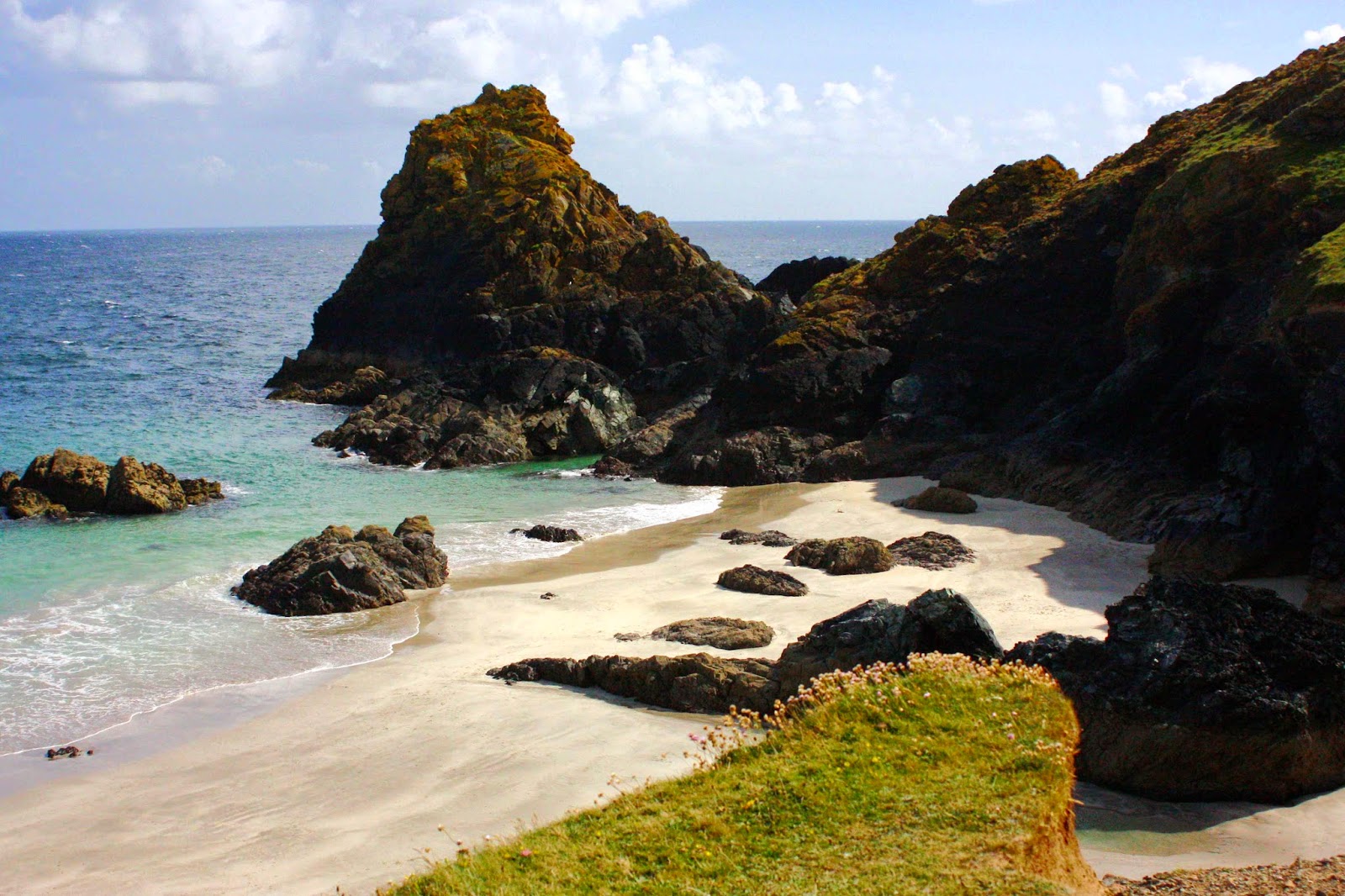
Filled to the plimsol line with porridge, croissants, berries, cooked tomato, mushroom and eggs, great coffee, home-made jam and more, we bloatedly set out to begin the real journey. The air was still misty, visibility reduced, and yet everything thrilled us. The path, for major stretches, is high along the cliff tops, with a fabulous sense of space. The grass was verdant green – the British speciality – and the sea an arresting cerulean blue from the distance, totally transparent and dancing with glittering light up close. I loved looking down on the tiny coves, perhaps with an imagination informed by Enid Blyton as a child. A cove for me is a place of romantic adventure, excitement, mystery and wonder as well as beauty.

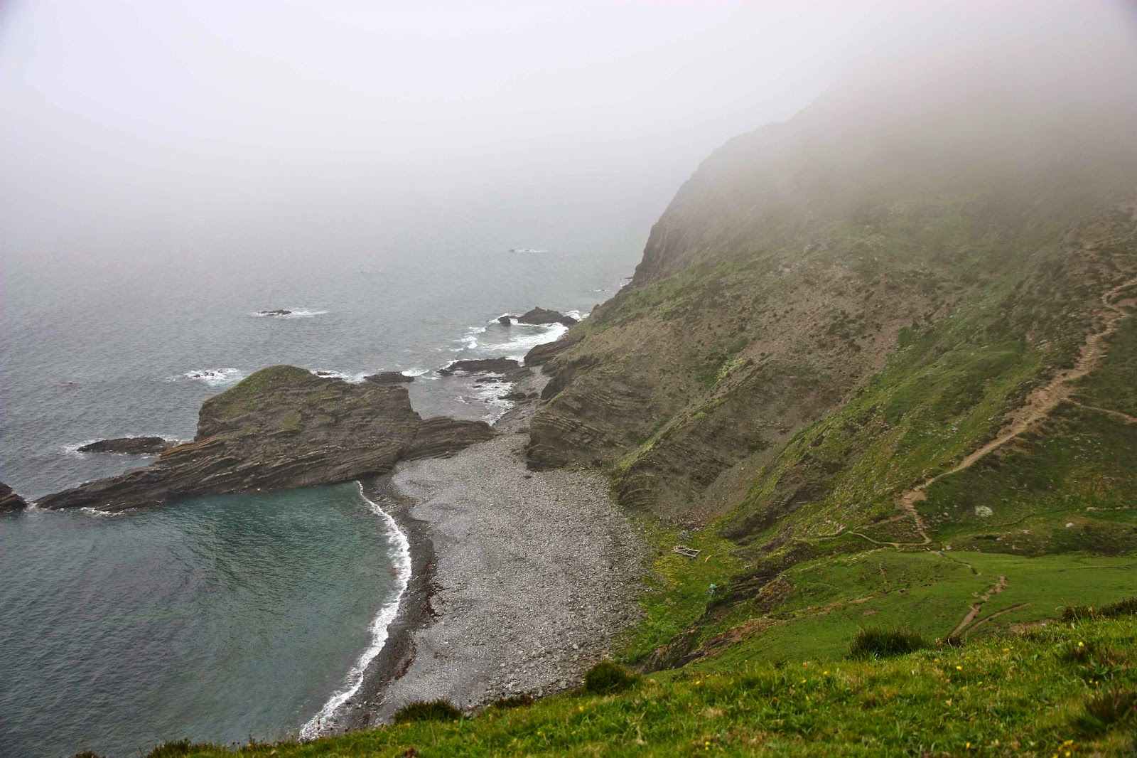
Near Crackington Haven. One of only two overcast days.

What we were offered was a series of endless variations on a theme – each one having its own unique stamp to keep us absorbed – just like each of the over eight hundred eucalypts is very like its other genera members, yet different enough to provide entertaining variety. Here, we had hundreds of  kilometres of coves, beaches, headlands and villages, and yet every single one, whilst being recognisably like its ambient friends, was also unique. If you’re a bored type, you can dismiss huge groups of things under a single generic heading, “Oh, they’re all just fungi, or trees, or mountains”, but if you look for the differences and immerse yourself in those – better still, learn the name of the distinguishing features – then those differences will entertain you.

SW of Padstow

So, for us, it was not a matter of another cove or headland, but we delighted in the variety of size, shape, colour, aspect, lumps and bumps, the particular rocks or islands visible, or the caves or arches that were there.

My husband’s Parkinson’s disease was not going through a good patch in either of our times there, but the infrastructure of the area gave us enormous flexibility. Unfortunately, the first and final days were the only ones where he could last a whole day with me. On the others, he would either not walk at all, or do half a day, and cover the remaining distance by bus.


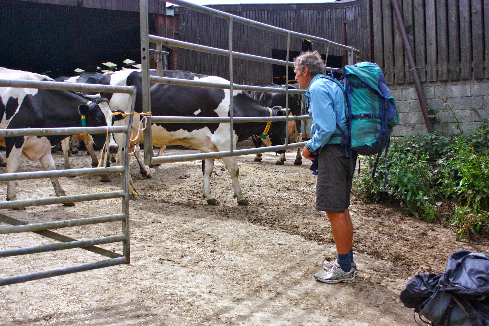
That way, I could throw down the pub breakfast of prefab croissant and unexciting coffee – with porridge if I was lucky – and leave Bruce to luxuriate in the full English breakfast, which he adores, grinning like a naught schoolboy, possibly because it is very different from the fare he gets at home. He likes to be able to chew slowly and take his time, which does not suit my restless spirit much, especially at the start of the day when I am just itching to be outside in the golden light and the dew. I wave farewell, pack on my back, and I’m off. He knows which village I’ll have my lunchtime soup in, and which one I’ve chosen for that night, and he knows to meet me at the pub closest to the water. It always worked. I was free to dance, run, dawdle and photograph … whatever. I felt very free. It’s nice to choose my own pace in a world of compulsion.

In 2012, as said, we started once more in Padstow, but went in the opposite direction. As we’d made a booking this time round, we got to explore the town the evening of our arrival, which was good, as it’s very quaint. Its popularity is there for a reason. The next morning we were both up at about 4.30, excited to be there, and wondered the coast for hours before the British breakfast time. It reminded me of my childhood, when I seemed to have lived a whole life before my parents awoke to break their overnight fast. They never had a clue what their innocent-looking daughter had been up to.


We used the same modus operandi this year as well, so I mostly walked alone and met Bruce at the far end of the day, when he would often walk backwards along the track to intersect my route, having settled in our pub for a bit first. I carried my pack, not because I needed to, but because carrying a big pack is, for me, part of the necessary apparatus of a proper walk. Without it, the walk becomes something else – a daywalk and not a pilgrimage. My pack connotes freedom, adventure and excitement. I want it there with me.

This method meant that Bruce could do exactly as much as he felt he could manage without being ruled by the distance between villages, and gave him a gradual easing in, a transition between his hectic but sedentary schedule at home, and the long-distance paths we were about to undertake. The website for this walk says that its height gain is the equivalent of climbing Everest four times!!! It’s no wonder Bruce found it challenging to do straight off the plane. You are constantly going up or down, and very steeply. Gradual slaloming of the path to tone down the steepness is for the Swiss, not the Brits. They attack each rise head on. Short but sharp, but they add up and take a toll if you’re not conditioned for it.

 I would like to return to this area one day. My memories of it are happy. It warrants another visit – with better photographic equipment and methods next time.