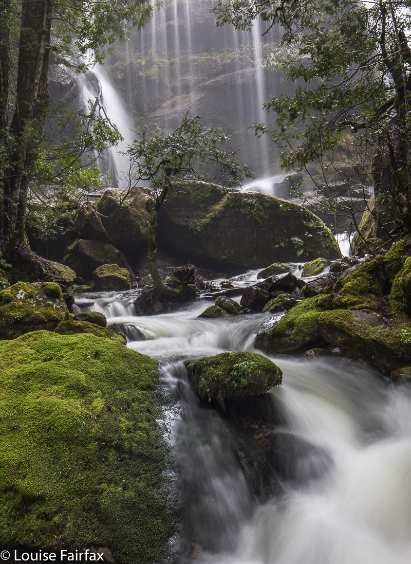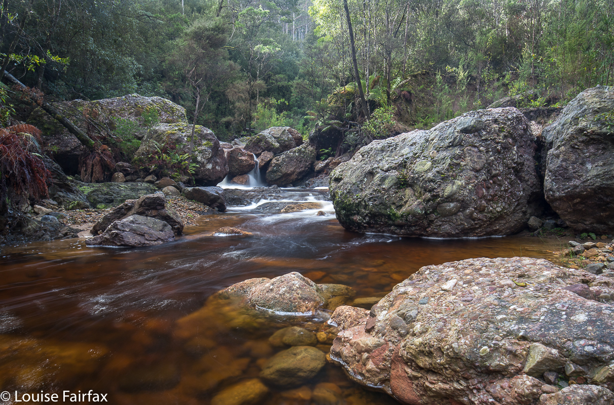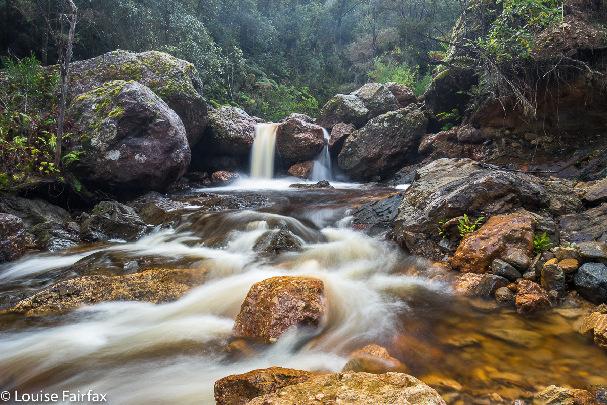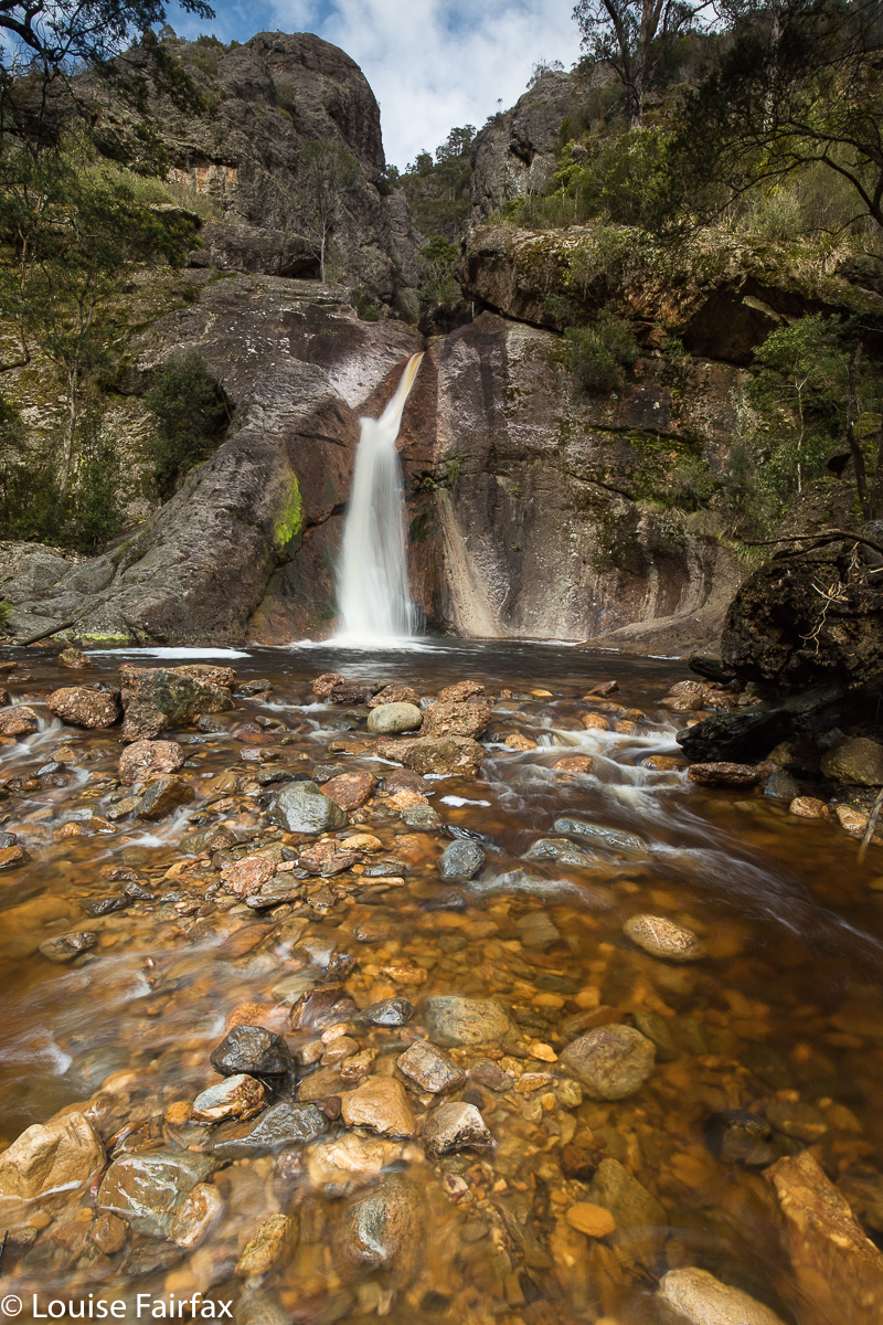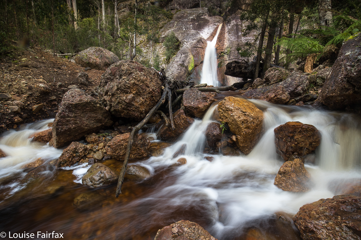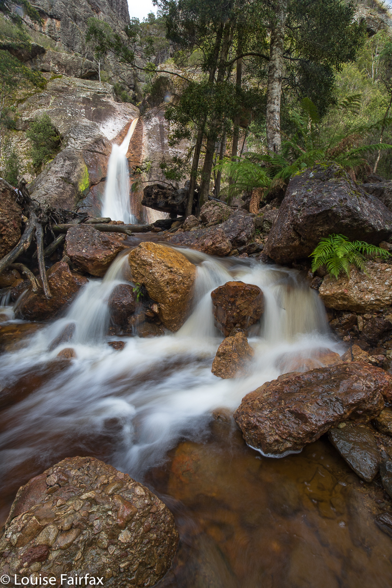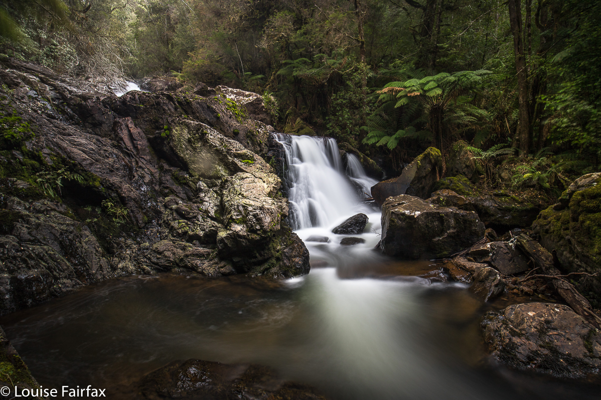
St Georges Falls, Sandersons, St Josephs, Upper Guide, Hodgetts, Cooee: Waterfall bagging spree

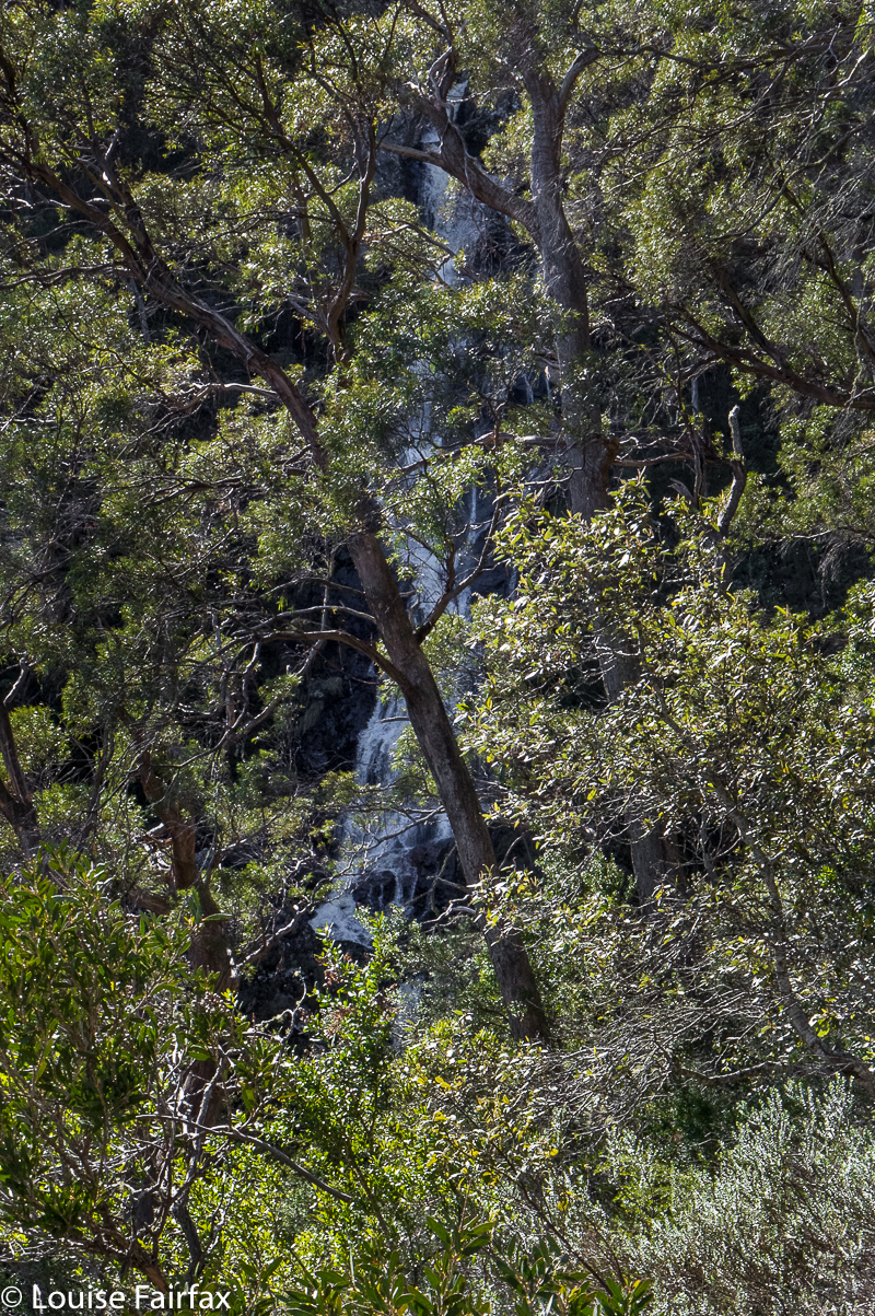
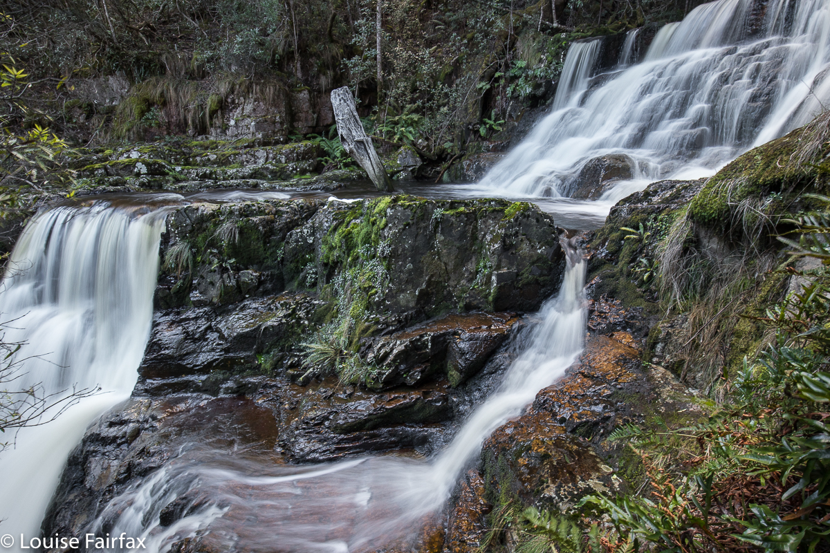
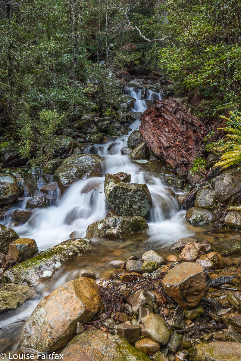
Upper Guide Falls
Six waterfalls in one day (Cooee, Sandersons, St Georges, St Josephs, Hodgetts, and Upper Guide Falls)? Was this perhaps a little too ambitious? I sent my plan to Carrie, who didn’t think it was too much for us to handle at all. It was on. Actually, the original list we both agreed to had nine falls, and we could have easily added in the final three if only daylight hours and energy were to be considered, but after six, we both felt that enough was enough: we had a heap of photos and information to process; any more would be perceived as overkill. If we quitted then, I would be home in time for tea, and Carrie would get to spend a bit of Saturday with her kids, so we called it a day – and a great one at that. Besides, I was by that point in time rather famished, despite a big lunch, and I knew I would find nothing resembling nice food (or any food, for that matter), in the Tewkesbury region in which we then were. If we stopped, I could get afternoon tea in the Latrobe region on the way home
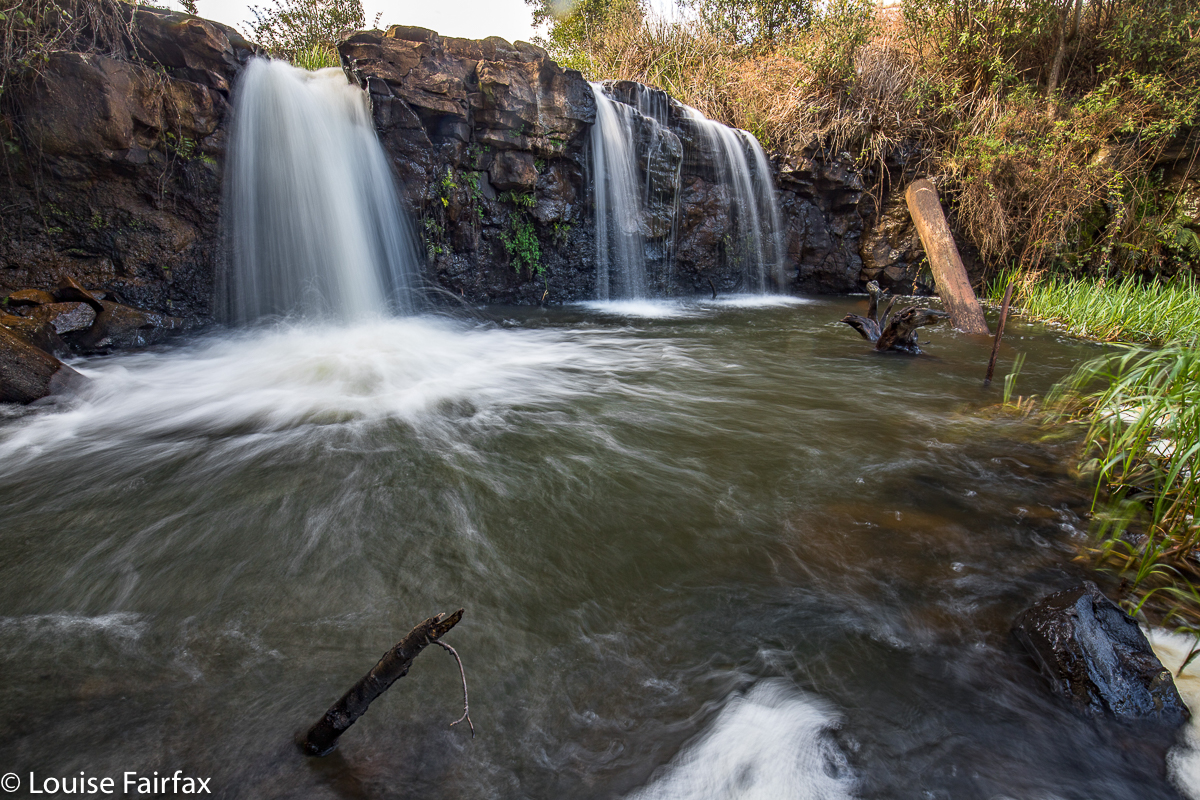
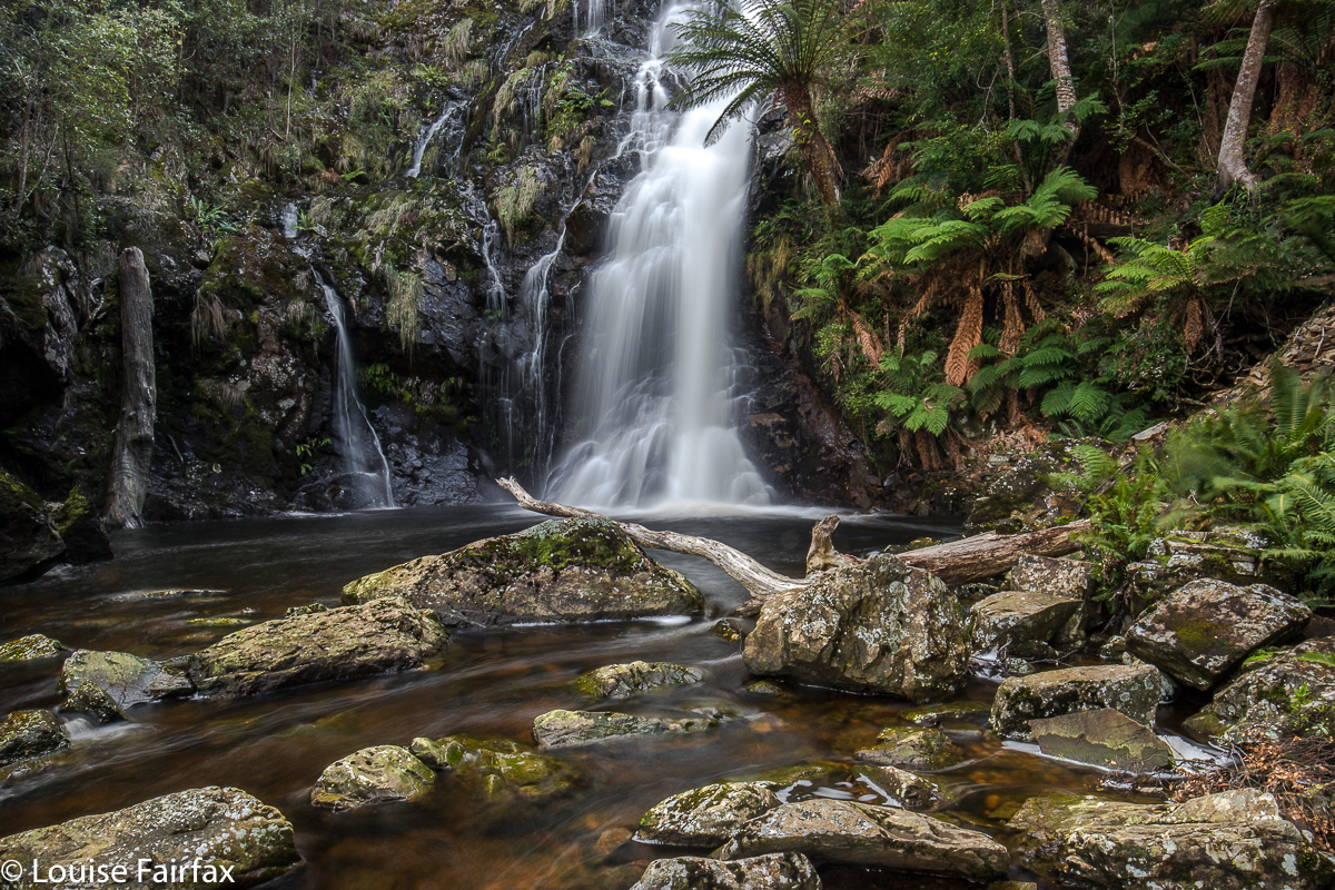
(1) Cooee Falls
Funnily, we didn’t originally plan to go waterfall bagging today, but my doggy babysitter took ill, which meant I could no longer sleep on a mountain, and Carrie had an unexpected free day, so I designed us this spree – worked out in the kind of way I used to work out a rogaining competition, or an attack on the Wainwrights of England, where you need to gather as many mountains / points as possible in a given timeframe. I sent her the results of my tactics; she was right in there.
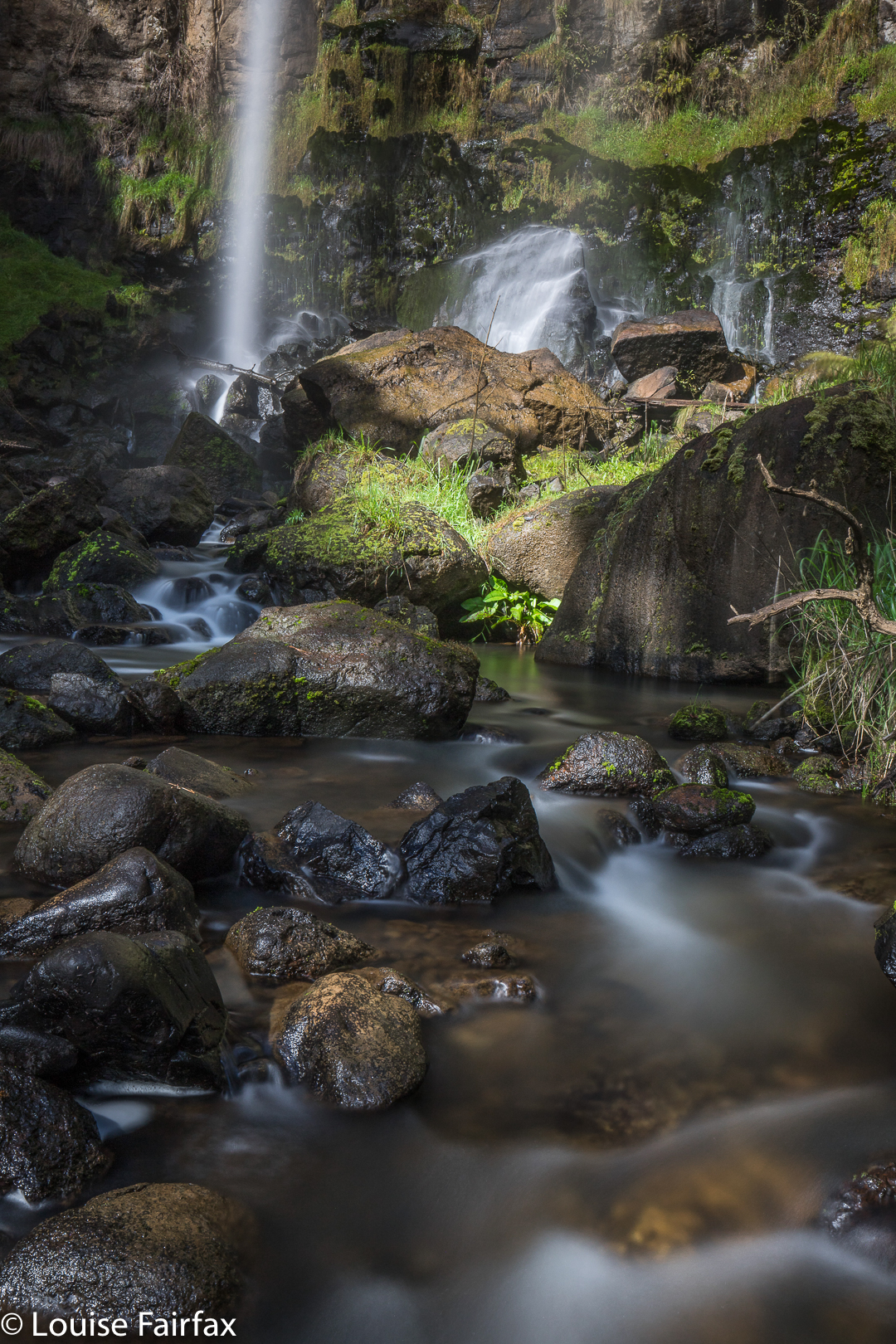
(2) Sandersons Falls
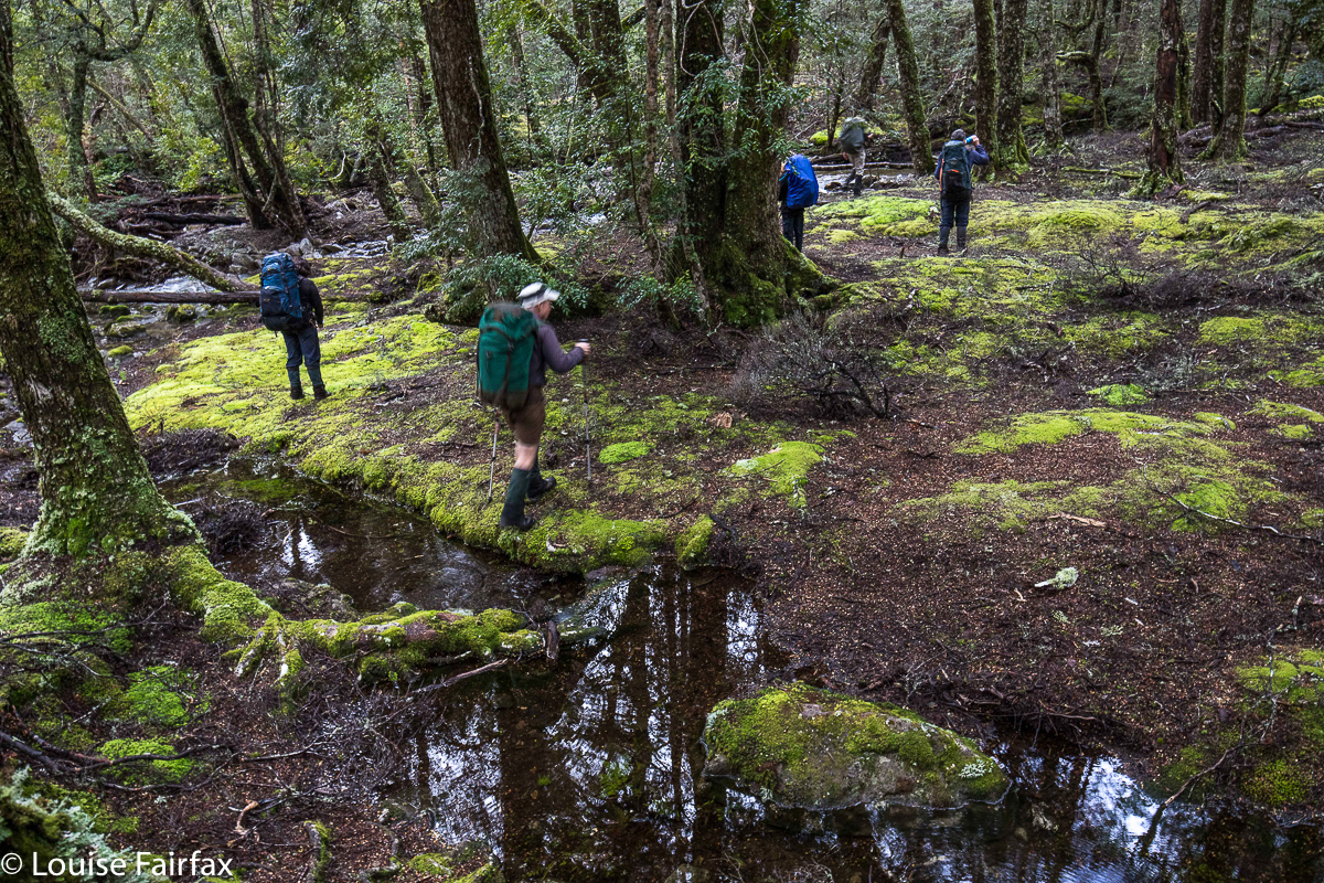
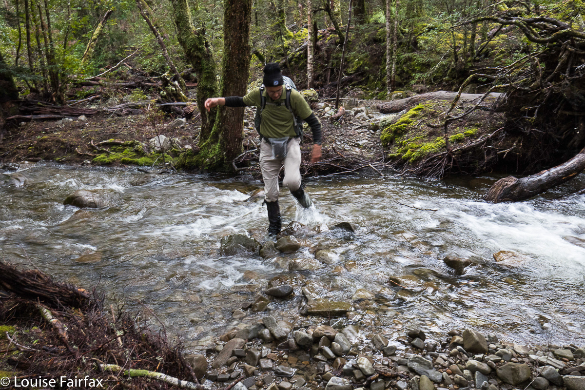
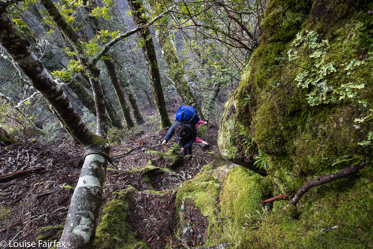
If you want to emulate this amassing of waterfalls, my programme is below. As I type this up, Tessa is downstairs, sleeping the sleep of the dead. She is utterly exhausted, which is rather hilarious. Neither the distance covered, nor the height gained was particularly huge. What was taxing for all three of us was the sheer physicality of each of the climbs. They all appeared to be almost vertical. It was really quite difficult to find a safe way down, especially given the thickness of the bush in some places, the extreme softness of the soil, and the lack of anything to hold onto at times when you really, really felt like hanging onto something. Each fall entailed far more adrenalin rush than a rollercoaster ride at Luna Park. Climbing down was every bit as tricky as climbing back up again – in fact, more so, as going down we were throwing ourselves at the unknown. Coming back, we at least had our tracked descent route to resort to if necessary.
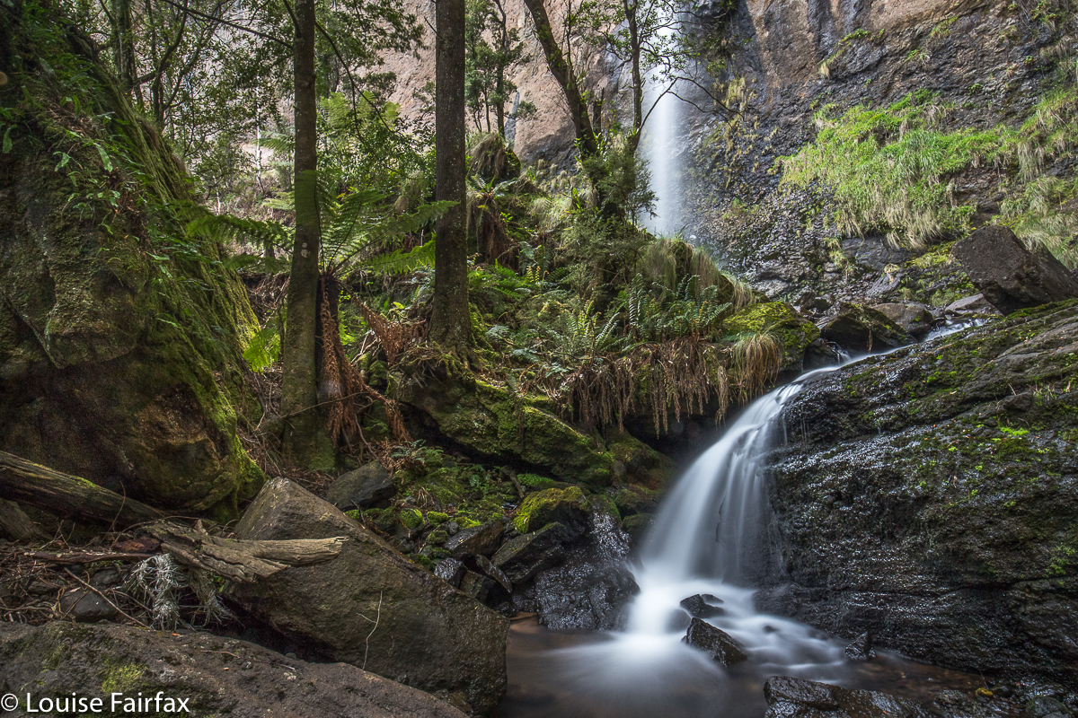
(3) St Georges Falls
Sometimes I tried a different route up, just for the heck of it. Sometimes this worked well (e.g. Upper Guide and Hodgetts). At other times, it was a bit of a disaster, and we had to back track and lose our height to try again (St Georges). Twice I got us to within two meters of the top, but neither of us was willing to take that last two metres, as the penalty for not pulling it off was too great. We are both enjoying life, and Carrie has a race in a few weeks. Breaking bones was not on the programme. We had great fun, and agreed that this was a very testing full-body workout, and that you needed to be very fit and agile and persistent to keep throwing yourself at these cliffs. These are not tourist waterfalls.
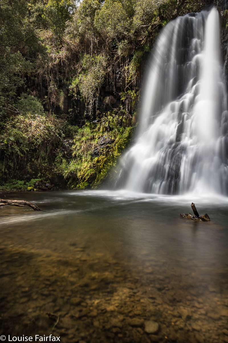
(4) St Josephs Falls
Because so many of these falls were on private land, we had very little information, and didn’t even know in most cases what the object of our quest was going to look like. It was rather fun to have the surprise element there. It was also brilliant that there was no pink tape splattered everywhere. It takes a lot longer to make your own route, but it’s also a lot more rewarding when you’ve been allowed to do it yourself. It’s kind of the difference between orienteering and cross country running. Give me the challenge of orienteering any day.
The Falls:
Cooee was just a short dash in off the road. I was disguised as a forest gnome, all in green. Neither of us took our tripods, as we wanted to be as quick as possible for this one. Tessa minded the car. It was very straightforward and speedy.
Sandersons was quite fun, and, although it was steep, it posed no problems. We both thought a revisit at some future date would be good. Even at the distance of only a few hours, I find it hard to recall our descent into Sandersons. I can only assume it was completely without incident, and not too difficult, as it is one on the “return to” list.
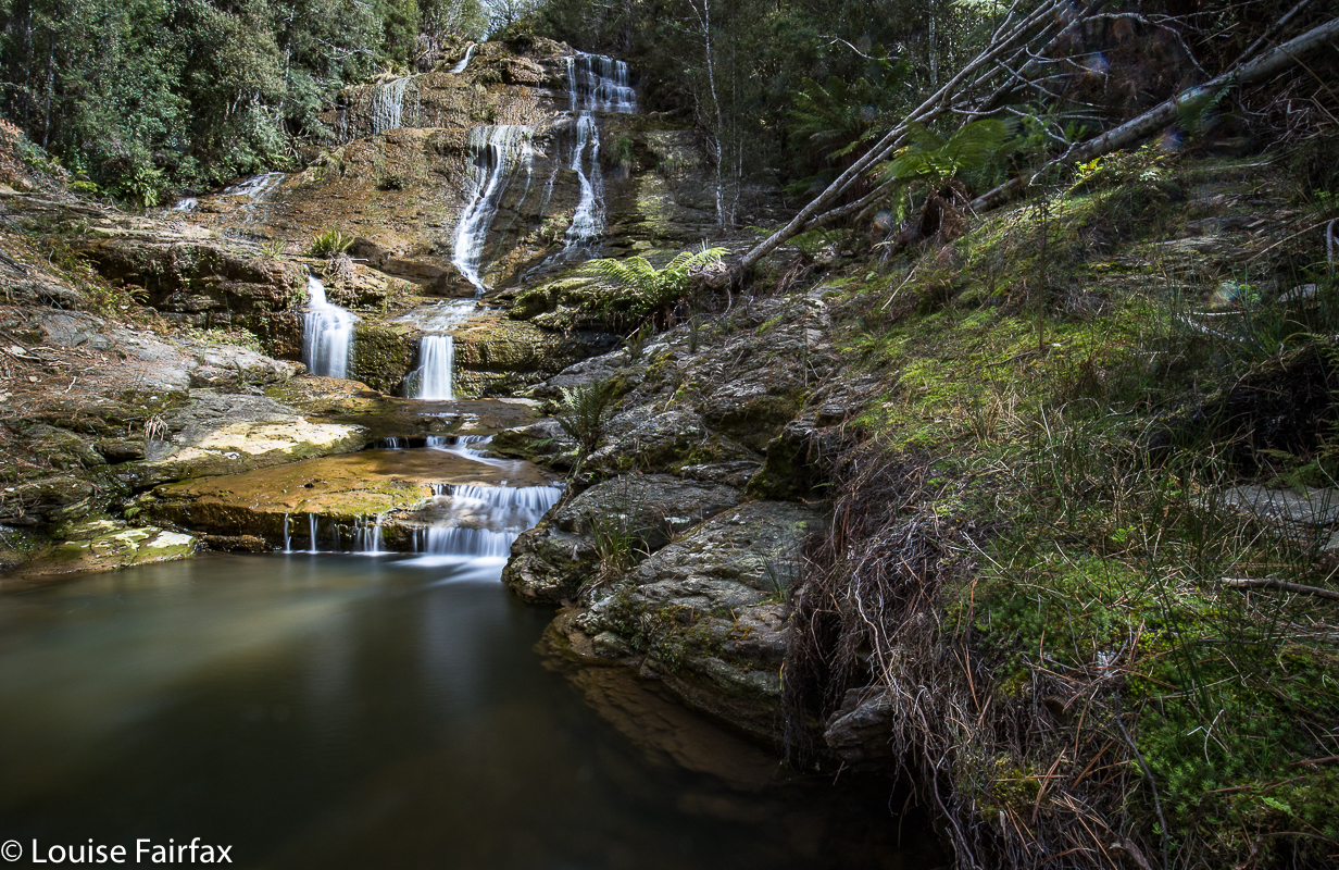
(5) Hodgetts Falls
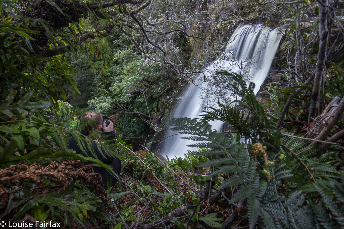
The view from the top of St George’s made us gulp – not so much because of all the cars that had been pushed over the cliff, but more because of the dimensions of the drop we wanted to descend. Tessa was banned from looking over the edge. She detected the note of extreme fear in my voice, and abstained. We crossed the creek and worked our way quite a long way off a direct line, as I decided the best attack was well away from the whopping vertical drop. I had moments when I doubted that we were gong to get to the base of this one. We enjoyed the falls once there, but Carrie thought once is probably enough.
St Joseph Falls, the blackberry spree par excellence, was far more tolerable than expected, thanks to people who go in with secateurs (we brought our own, and used them at St Georges as well). Carrie was armed with gloves. Alas, I left mine in the car. I coped. The falls were far prettier than I anticipated, although once for these will probably do. I like some exercise for my drive and effort, and this gave me none. They weren’t exciting, sitting as they were in an otherwise open paddock (if you don’t count prickles).
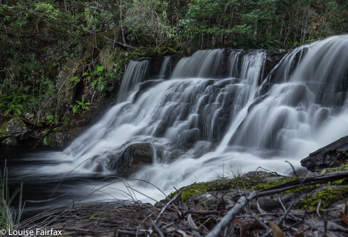
Hodgetts Falls was a fun little ramble; we didn’t have a clue what to expect, but enjoyed the walk and the final falls. I’d like to return in a time of more water, but they were still worthwhile for a visit. We did a loop for this, which was quite fun, as it made the whole circuit an exploration.

(
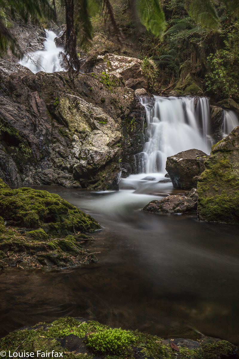
6) Upper Guide Falls

Our final falls, the Upper Guide Falls, were definitely our favourites. The area was lush and green and delightfully shady, with moss and lichen everywhere. We will definitely return here. This was another gorge that took our breath away with the huge drop that we were supposed to negotiate. We were quite reluctant to leave the road and plunge downwards, but we managed, and sure loved the end result.
By this stage, I was famished, and I knew that my need for coffee and cake was not going to be satisfied anywhere in the vicinity. Carrie also reckoned she’d done enough. We both felt complete and satisfied with respect to waterfalls, so agreed to call it a day. I really must bring more food when I go waterfall bagging: a salad roll and florentine combo is just not enough. This was a day packed with exploration, adventure, and beauty, and we loved it. Tessa is too exhausted to comment.

Programme: meet Carrie at Burnie. Louise must have Inglis Map to execute the below:
1) Cooee Falls (Private) just out of Burnie on Three Mile Line Rd. Then take the road to Ridgley.
2) Take C105 W past West Ridgley to Sandersons Falls. (Private, but owners nice).
3) Then head SW to St Georges Falls nearby.
4) Now, drive south. Go back to Serpentine Rd C104 sth to Tewkesbury for St Joseph Falls. Blackberry spree.
5) Take C101 from Tewkesbury to Oonah on the Murchison Hwy (A10). Just before Oonah, take Edmunds Rd and do Hodgetts Falls.
6) Head back to Tewkesbury. Take South Coppins Rd. Drive over river at base of dam and take first left; head northish to Upper Guide Falls.
7) Head back to Burnie, ignoring Guide and more. The day was complete.
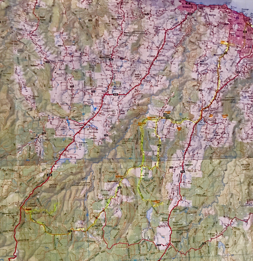

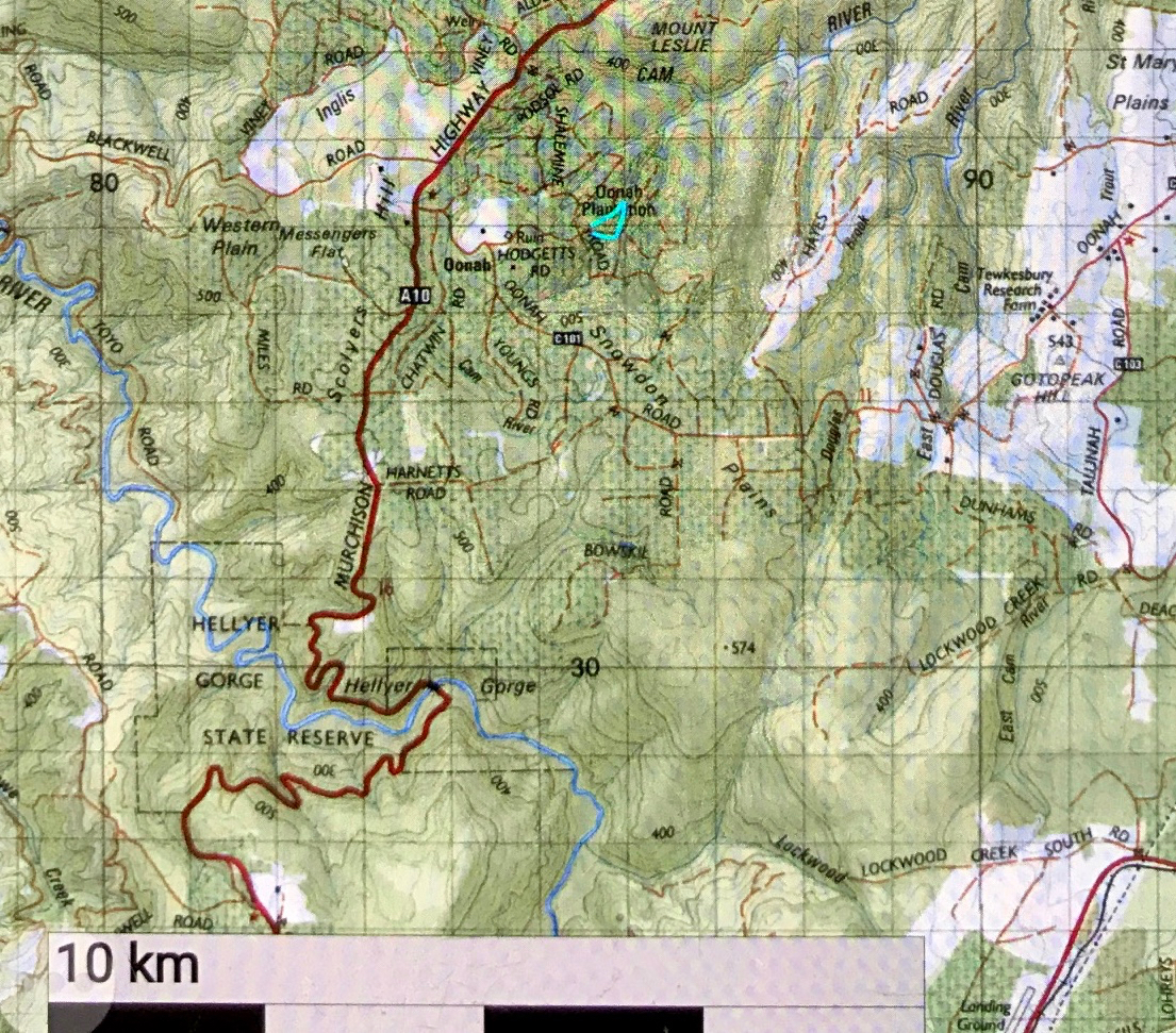
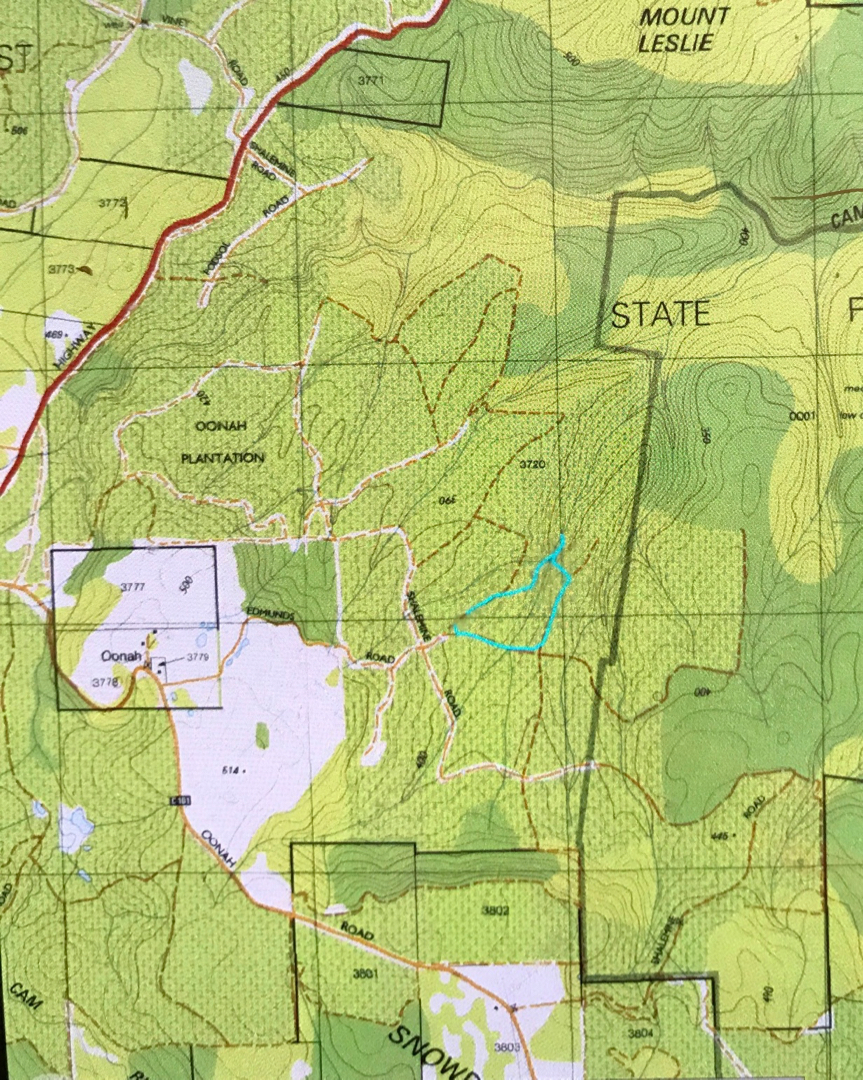
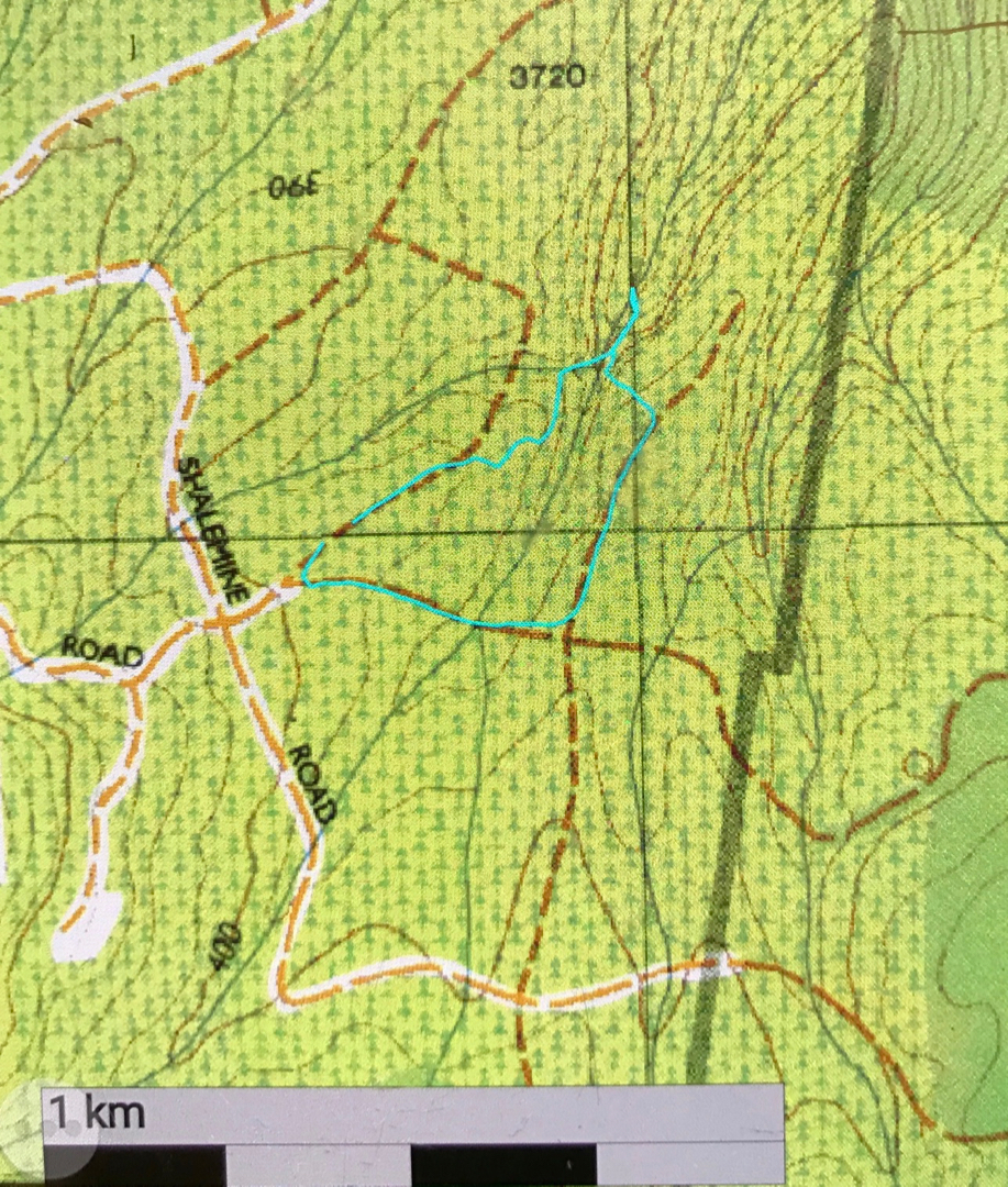
The following three maps relate to Hodgetts Falls. The first is 1:100,000 for context. The other two are 1:25,000, and are of our actual route. Hope this helps.
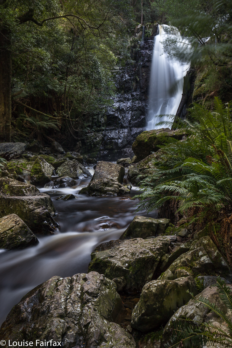
 

Mathinna Falls 2018 Tiers 1, 2, 3 and 4.

Mathinna Falls 2018. Tiers 1, 2, 3 and 4.


Mathinna Falls Tier 1.
Carrie and I were having such a fun day, having bagged two falls that were just marks on a map with no documentation (see URL below) – plus Evercreech Falls – in the morning, and now here we were to photograph Tiers 1-3 of Mathinna Falls, and then try our luck at Tier 4. I had tried for Tier 4 on my first visit, with very little light left in the day, and wearing only my gumboots. Both aspects were calculated for failure, and being alone that day – apart from having Tessa who could possibly be a liability rather than an asset – I retreated before catastrophe became the headlines.

Mathinna Falls Tier 3
Happy with the normal Tiers 1-3, up we started on 4. There were a few erosion aids, where water tumbling off the cliff left ground a little smoother than the thick scrub around, so I tried to follow these patterns as much as possible. The almost vertical land was very cliffy when not just plain steep with loose rock that did not hold. We grabbed like daemons, clutching any saplings or small bushes that would give us purchase as we hauled ourselves up the slope, both delighting in a full-body workout for the day. The cliffs drove us away from our destination somewhat, but I figured that we were going up the only possible way, and that we could traverse later if ever we got past the really steeply contoured bit. To our disappointment, although we did get up beyond the contour-crowded section, the very second the contours relented a little, thick scrub took over the battle to drive us away. We did what we could in the time we felt like devoting to the exercise, and pushed our way through the junk in the direction of the falls, which we could hear quite clearly, even if our vision was rather veiled.

Mathinna Falls Tier 4. This waterfall is absolutely massive. We were blown away by its height, which seemed never-ending, reaching below into regions we couldn’t see, and above, beyond our visual plane.
Once we did get a goodish sighting (photo above), we called it quits. There was no promise of a utopian view, so we contented ourselves with the one we’d achieved, and took some record shots before beginning the descent, the idea of which was causing a little trepidation for both of us. Coming up had been challenging. How would getting back down be? Were we about to plummet out of control, speedily downhill to a bash with a rock? Would I actually find  a safe way down? (Not sure if Carrie asked this question, but I sure did). And how would Tessa the Brave cope, heading down such a slope nose first with nothing to hang onto to break a possible tumble?


Mathinna Falls Tier 2

Mathinna Falls from the top. Carrie shooting, hiding behind bushes to the left..
On the way up, we’d shot Tiers 1 and 3. On the descent, we celebrated safety and a return to “normal forest” with a dallying in the area of Tier 2, climbing this and that interesting rock to get some angles that pleased us on this shapely fall. It was a great day.


Mathinna Falls …. the joy goes on and on and up and up … (steeply).
For the morning’s waterfalls, see  http://www.natureloverswalks.com/trickle-and-dry-falls/

Sensation Gorge Falls 2018 Sept

Sensation Gorge Falls 2018 Sept 10th.

Sensation Gorge has an appropriate name, for it is, indeed, sensational. Yet at the same time, it is also serene. This seems almost a contradiction, but I did feel in the presence of something excitingly spectacular, whilst also having the impression I was encompassed by serenity. The grandeur of the gorge, emanating from a placid little stream minding its own business until it met with a mighty drop was somehow set within a context of great peacefulness. Birds sang; the Overflow Creek (now, there’s an unexciting name if ever I heard one) gurgled; the rich mosses did their shiny green beautiful thing. It was a wonderful day …. except that beautiful days are not generally good for photography of waterfalls.
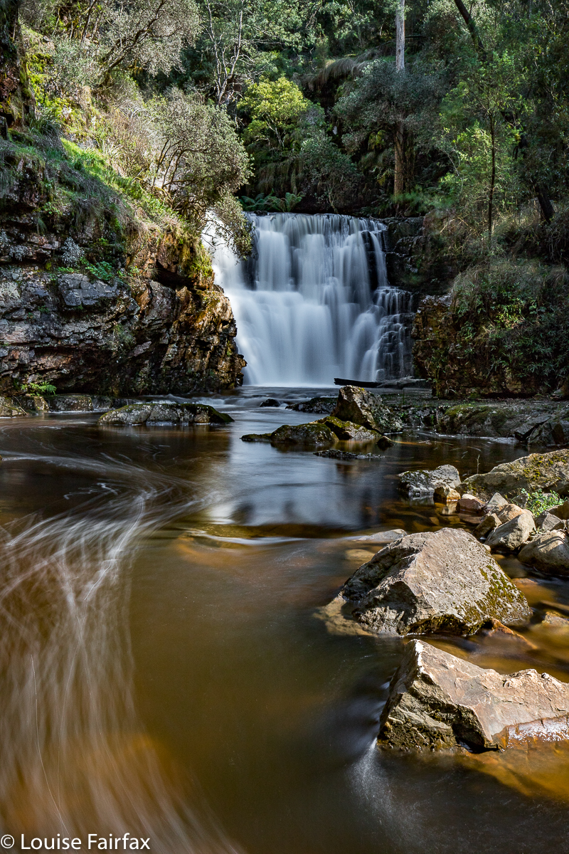
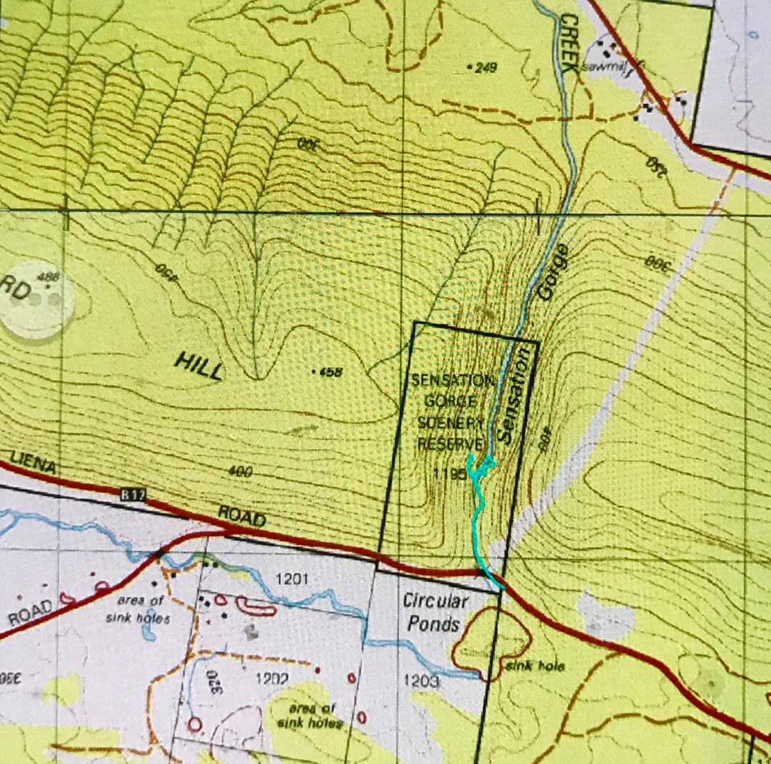
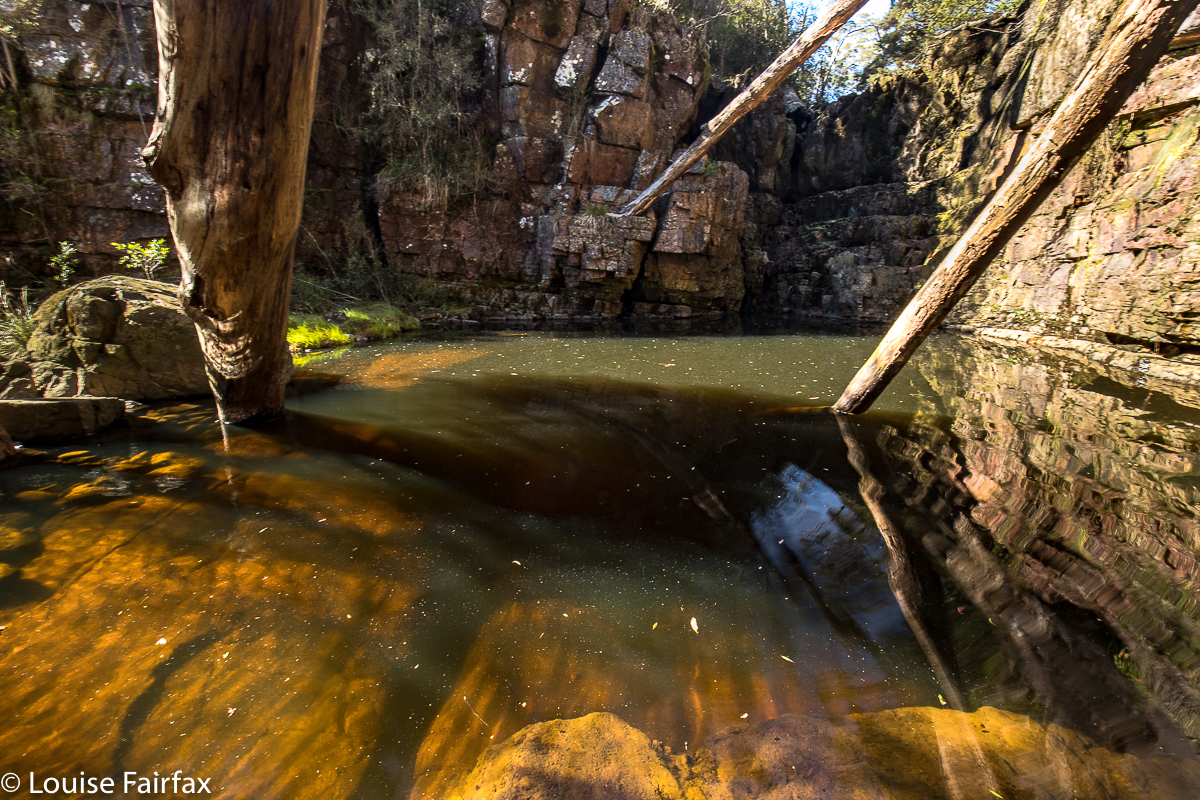
I am having a little problem at the minute, as days that are considered good for photography (dull ones, perhaps with a little gloomy drizzle) are days that just make we want to stay at home and mope. Days like today, where the sun shines and the world is good and I feel like going places, happen to be the worst sort of days for my hobby of photography. If you arrive at your waterfall at around lunchtime on a sunny day, the dynamic range between the glare of the water and the darkness of the deep shade poses a problem, even if one comes armed with polarisers and other filters. I knew this would be a problem, but it was such a lovely day, I wanted to do something pleasant on it.

I parked the car and set out along the stream on the eastern side. A little pad was discernible, and soon enough, tapes appeared. They led all the way to the base of the second falls (pictured here). This is not a tourist route, however, even though someone has put tapes out. The going was so steep and slippery in the final descent that I had to stop and fix my tripod to my pack to free up my second hand, and on the way back up, I actually started sliding backwards, despite wearing proper bushwalking boots. Don’t consider this route in anything other than boots, and only do it if you are comfortable with steep, slippery slopes. It took me approximately fifteen minutes in each direction. I needed two hands for the steep part, both up and down. I eyed the upper falls longingly, but could not see a way to their base, and the sun was shining on them quite vigorously, so didn’t even bother with a shot from above. This was a nice little excursion from Launceston. Tessa and I had lunch, cake and coffee on the way home, and had the afternoon free to cart barrow loads of mulch onto the garden, and even to have a run in the gorge. I’m afraid thirty minutes’ exercise doesn’t keep me happy for a day’s tally.


(No. I did not climb up the cliffs on the other side. That is some glitch in the gps tracking. )
Coda to this symphony: On Sept 30th, I returned to this spot ready to climb to the base of the upper falls with my friend Carrie. We got there, and were very happy (as some had said it could only be shot with a drone, or from above). However, in the couple of weeks since I was last there, and despite rain in the interim, the falls were a dastardly trickle. We’ll have to go back after much more rain and get our tootsies a lot wetter – but at least we’ve bagged the base. Here’s what we saw:

Long Lake 2018 Snow Camping. Sept

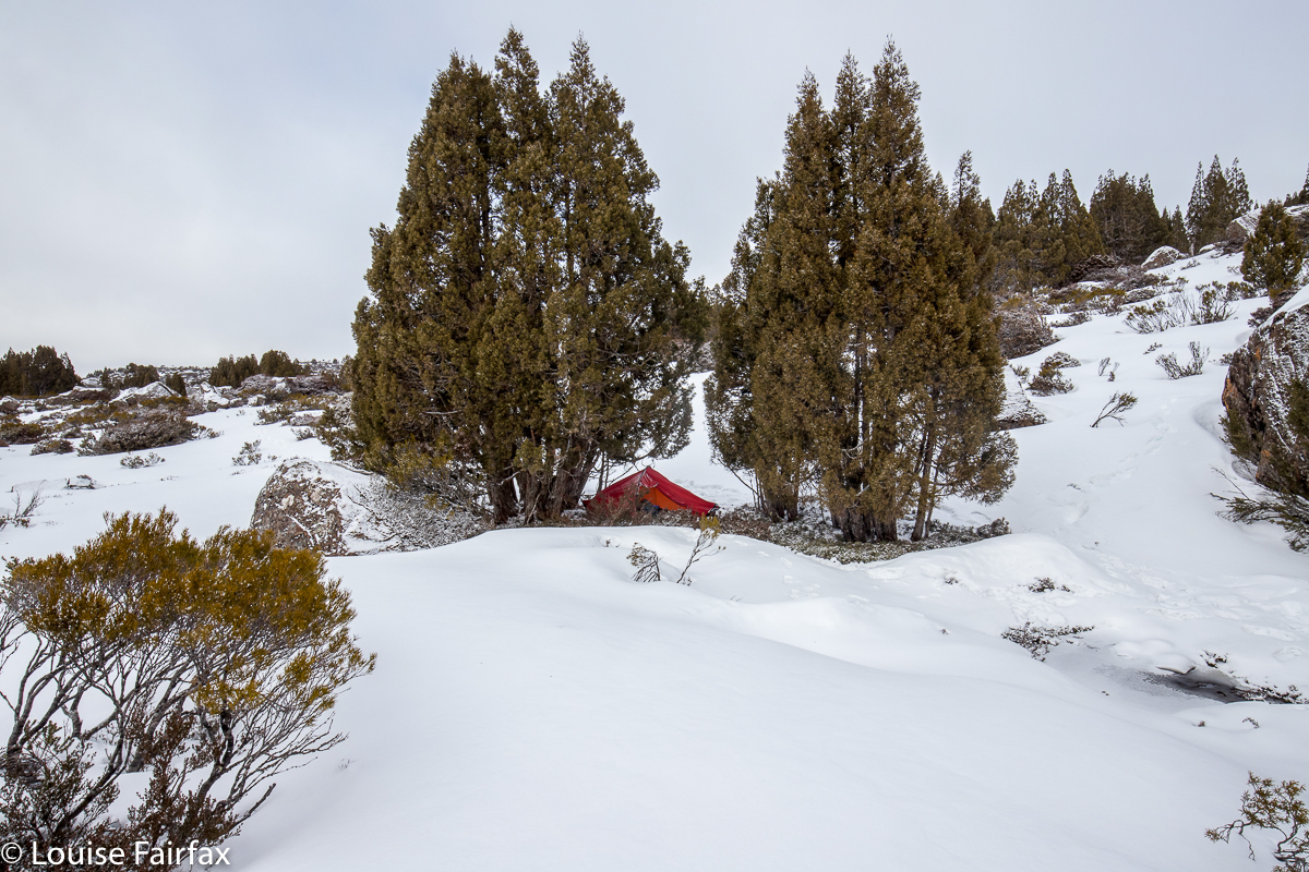
Snow Camping at Long Lake, Central Plateau. Sept 2018.


As I walked up the road leading to the old carpark – a walk we are not supposed to like, but one idles up a tunnel of pure myrtle with its delicate little leaves and mossy trunks; walking, in fact, on moss and looking out at rich, open rainforest – I became suddenly aware of how fundamentally content I was doing this act of walking in the wilderness with my pack on my back in the implicit company of a few friends, who were not actually with me at that current point in time, but were somewhere up ahead, or behind; we were together, even if not crowding each other out.

One stops, sheds something, catches up … there are moments of solitude and times of company, as one chooses.  I possibly should not have been surprised at my contentment – I am, after all,  “naturelover” – and yet it arrived unexpectedly, as I wasn’t seeking or explicitly anticipating it. It was just a feeling that overtook me as I wandered, and I realised that there was nothing else I needed at that particular moment, and that, although my darling Bruce has gone, there is a wonderful life to be lead, nonetheless. Perhaps this awareness was nudged into existence by a text I had had from my little grandson during the week, saying: “Don’t go, nanny”.  Go where? I had already gone from his house. I read it as a deeper statement of love and the expression of a desire to have me around.

The Little Fisher River is one of my favourite rivers in the whole world. It gurgles with just the right amount of pure, clear water, cascading picturesquely through open myrtle forest of green and brown, both colours rich in intensity. Every now and then monster tree trunks enter my purview, stately curving their way up to the light, covered in soft moss.  It took us 1 hr 13 to the carpark, and another 8 minutes to the first river crossing, which I was not anticipating with glee, having heard it was slippery and dangerous these days. I was keen to get it over and done with, as I don’t like carrying all my expensive camera gear over slippery terrain where it might get damaged, and I certainly did not want to land in the river. The temperature was not much above zero. In fact, light snow fell for most of the day.

From the bridge to the glorious Rinadena Falls was another hour’s walk. I love these falls, but we got there a bit too late for the best photographic conditions, and the fact that it was snowing and truly freezing did not have me leaping around with ecstasy. We crouched under branches to eat our lunch, with me hoping the frozen precipitation might slow down enough to warrant setting up my tripod. I did set up, but did a pretty rushed job, as the others were keen to move on, having already taken a few snaps.

On we went. I was looking forward to the climby bit, as I had chilled off somewhat over the inevitable stasis of lunch-munching. The section between Rinadeena and the valley above – Little Fisher Valley? – is rather steep, with two sections having fixed rope to aid climbing the slippery face.

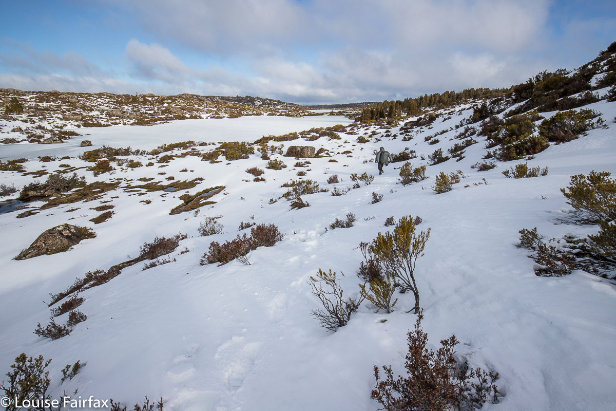
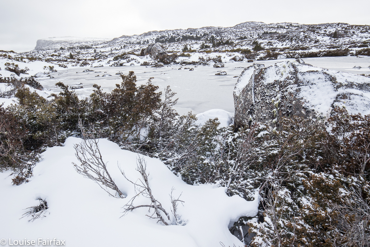
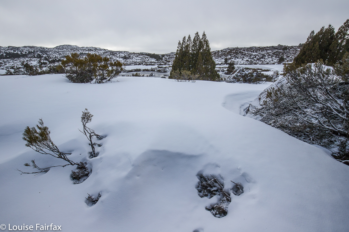
Once we entered that high valley, with its flattish area in between Turrana Bluff and Mersey Crag, the patches of snow multiplied rapidly. We also struck our first icy tarns. We still had one final climb – only a hundred metres’ height gain – to reach Long Tarn now. And once up that, everything was pure white and a fairyland of beauty. One of our party wasn’t handling the snow well, which gave us plenty of time to appreciate the various vignettes of magical scenery as we quietly wended our unhurried way towards the pencil-pine goal.  The slower person apologised; as a joke, one pointed out she had a train to catch; I said I had a doctor’s appointment at 3.16. Rolfe made a bet that the doctor would give up on me and go home. It seems he was right. I was late for the appointment, and there was no doctor waiting. Luckily I wasn’t sick anyway. Pure nature healed anything that might have been wrong.

Long Lake with Turrana Bluff behind.
Pitching the tent was a pretty cold business, as it is a very static job, so I had chilled right down by the time my accommodation for the night was established. Rolfe suggested we walk up to the ridge to see Mt Jerusalem and Daisy Lake, and I was all for it. A bit of a climb might warm me up again, and if there was going to be any colour at sunset, we would be well positioned to photograph it. There wasn’t … but I did warm up. The cup of water I had left just outside the vestibule, however, was frozen solid. I banged out the ice so I could drink later, wondering how the other water I had gathered would hold out.

I always worry in snow camping about my ability to warm up the tent space. I am a lot more confident if with my daughters, sharing a tent (or with Bruce, but that is no longer a possibility). Two people definitely warm up a tent with no problems. The fact that I can do it alone comes as a relief and a confidence booster. My boots froze overnight (as did the laces, of course); my water bladder did likewise, but I was pretty warm with what I had brought, so was happy with the outcome. This was my first snowcamp for 2018, and it’s surprising how out of practice one can feel doing it for the first time in any given winter. I warmed the tent alone and coped alone, but I sure did appreciate the knowledge that in that pine grove over there were three others, and just down the slope a ways, two more, so that if I felt dangerously hypothermic, or if my tent collapsed overnight or if some other unplanned catastrophe overtook me, I could yell for help and someone would come to aid me, is a huge relief. This is one of the many massive benefits of being in a club.


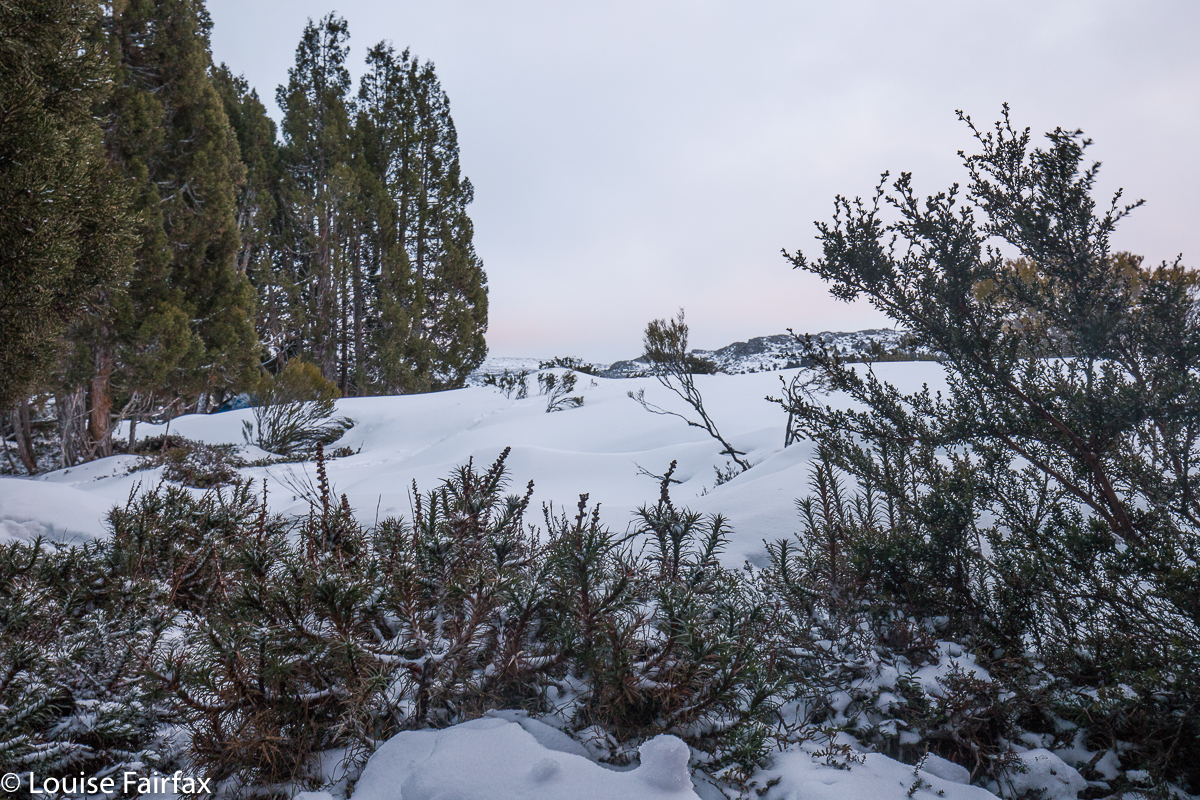
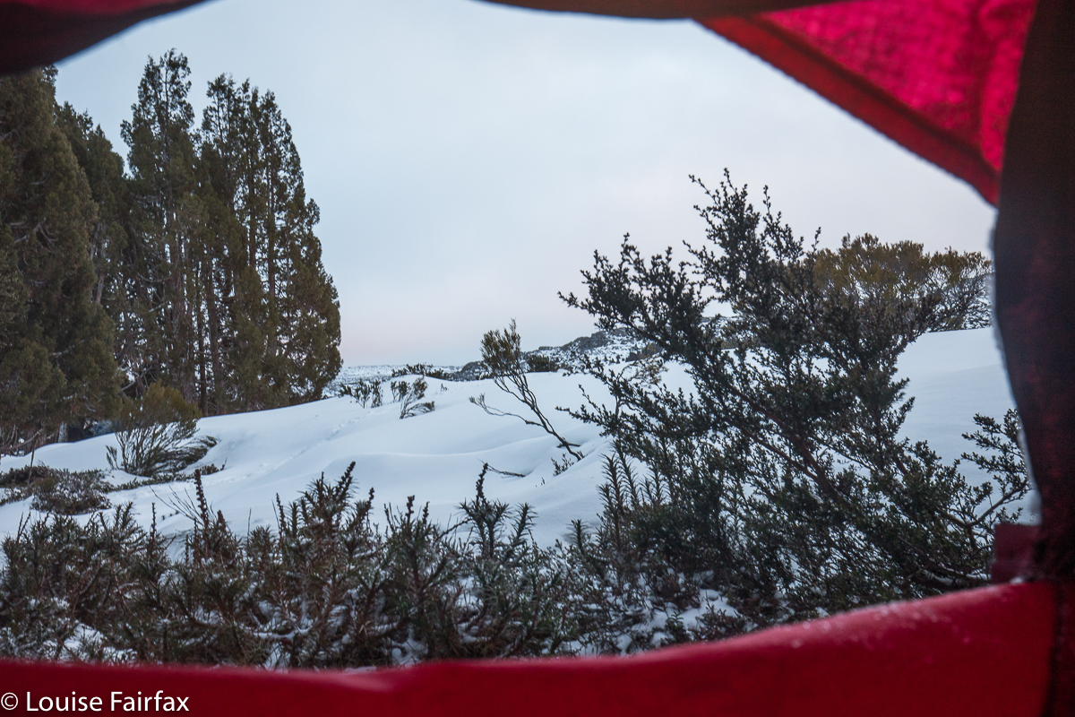
Dawn light

Breakfast was served in bed – in my sleeping bag, in fact – to a view of a slightly pink-tinged dawn, with light snow falling. Having my tent fly pulled right back was not calculated to keep me warm, but with beauty like that I didn’t care. I popped on an extra coat and slowly imbibed my porridge while watching the light flakes make their way to the ground. This is what one comes for. I loved it. We were all elated by the beauty as we set out for home an hour or so later. The forest was covered in a new coat of white powder, as the snow had been falling on and off all night, just a light hint of a thud against the tent. Peace.

Machinery Creek Falls 1 (Petrifying Falls)+ Machinery Cascades

Machinery Creek Falls 1 (Petrifying Falls) and Machinery Cascades.

This is your path. This pic is here just to give you an idea of the terrain.
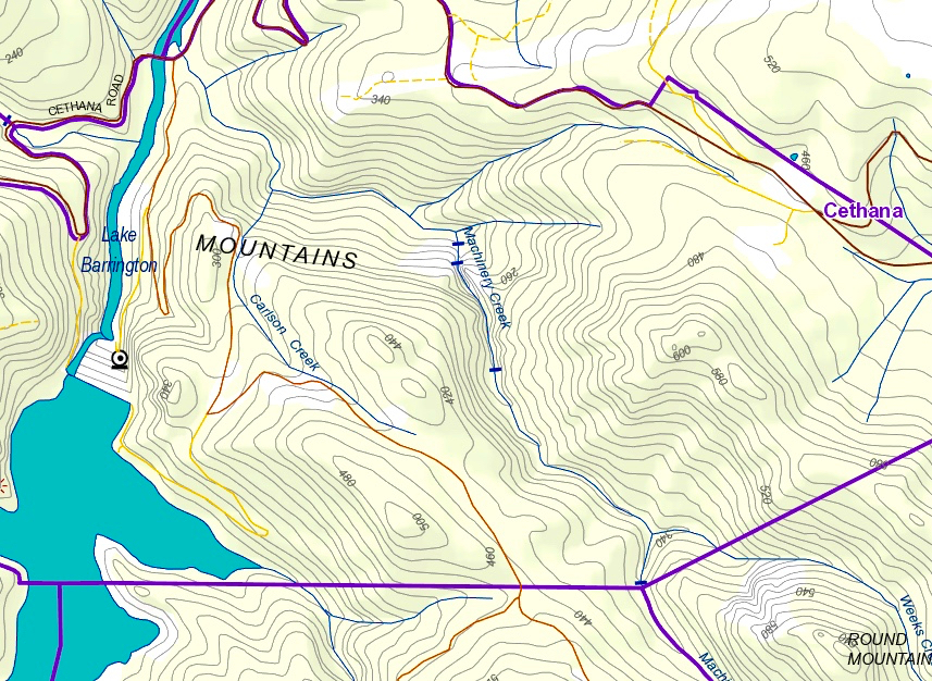
The first Machinery Creek Falls labelled specifically as “falls” on the map (see map at end) are actually above both the cascades pictured below this paragraph, and also above the falls pictured in the second section of this blog: they lie above the huge cliffs that lour over both these falls. I will post a screen shot of the List map below to try to clarify.  Because the cascades below are not on the map, I have just called them “Machinery Cascades” so we can talk about them together. I hope you agree they are very beautiful.

People on the Waterfalls of Tasmania Facebook page have called these Machinery Creek Falls 1, but this is wrong. They are “just” the Machinery Cascades. They are at least as big as Lower Chasm Falls.
I had been told to attack Falls 1 from below, from the intersection of Machinery  Creek and the Forth River, where there is a bridge. I had sussed out that spot, and the water looked quite deep in places after all our rain of late, so came armed with my long gum boots for the journey. I hoped water wasn’t going to come cascading over the brim. I also made two poles (which I don’t normally use) for balance, hoping to thereby protect my several thousand dollars of camera gear from a dunking should I slip.


These are the first giant falls you come to. They are called by some Machinery Creek Falls 1, and by cognoscenti as Petrifying Falls. Some think this name came from Hellyer, which is an interesting titbit of history. The next falls, “Falls 2” are up behind that huge cliff, and excessively hard to get to.
On the way up, I was tentative, worried about falling and damaging my gear and becoming unreasonably cold. I was not sure when to be in the water, and when to climb onto the banks, and, if the latter, which side. Sometimes I lost a little time clumsily climbing obstacles that really I could have got around had I been braver. I was much more secure and confident on the way back. I took 52 minutes on the way out, but only 41 mins on the rebound.

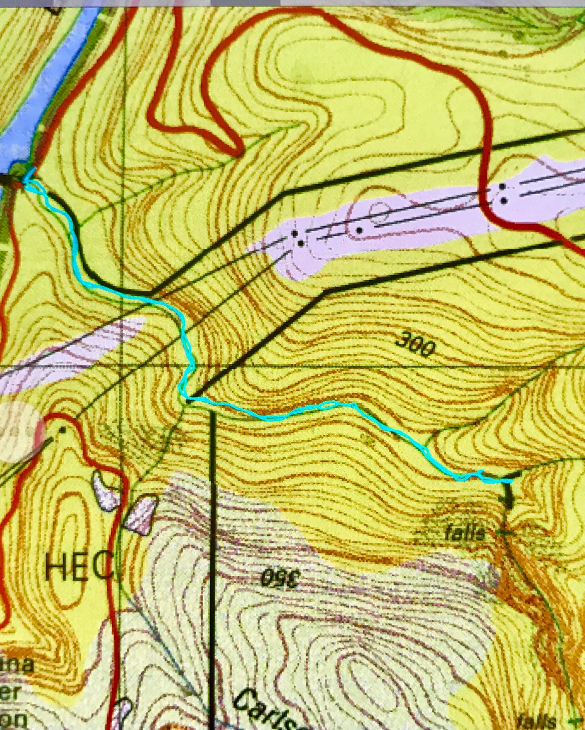
After I’d photographed the falls and cascade, I explored the side stream as a possible route to Falls 2. Despite all our rain of late, this was a dry gully. It made climbing up nice and easy, but I obviously wasn’t going to reach a waterfall way up above the cliffs, so retreated. The gorge to my right as I climbed (which contained Machinery Creek) was absolutely monstrous, but I could see no sign of another fall above it – but that is hardly surprising: the scale of these cliffs is whopping. Just look at the massive brown smudge of contours on the map in the area, and the black lines where cliffs are indicated. This is a valley of the giants, and exciting stuff. I could have taken hundreds of photos here, but didn’t, as, uncertain about my own safety, I had told both my daughters what I was doing and what time I’d be out, so they could raise an alarm if I didn’t emerge. When I do that, then I feel a need to be punctual, or I will bother people unnecessarily, and they won’t take my requests seriously. I will be back, for sure!

Just for your information, I read on the WoT Facebook page that these falls are “about a kilometre” from the intersection. Maybe I am pedantic, but I see a big difference between “about 1” and 1.6. Looking at the map, I had estimated 1.5, so was not surprised when my data read at 1.6.  In country that slow, and extra 600 ms is significant, so don’t count on doing whatever time it is you take to dash off a kilometre on the track. (The big blue strip on the map top left is the Forth River. The black strip across it is the Cethana Bridge).

.