Hogg Creek Falls 2018 Apr
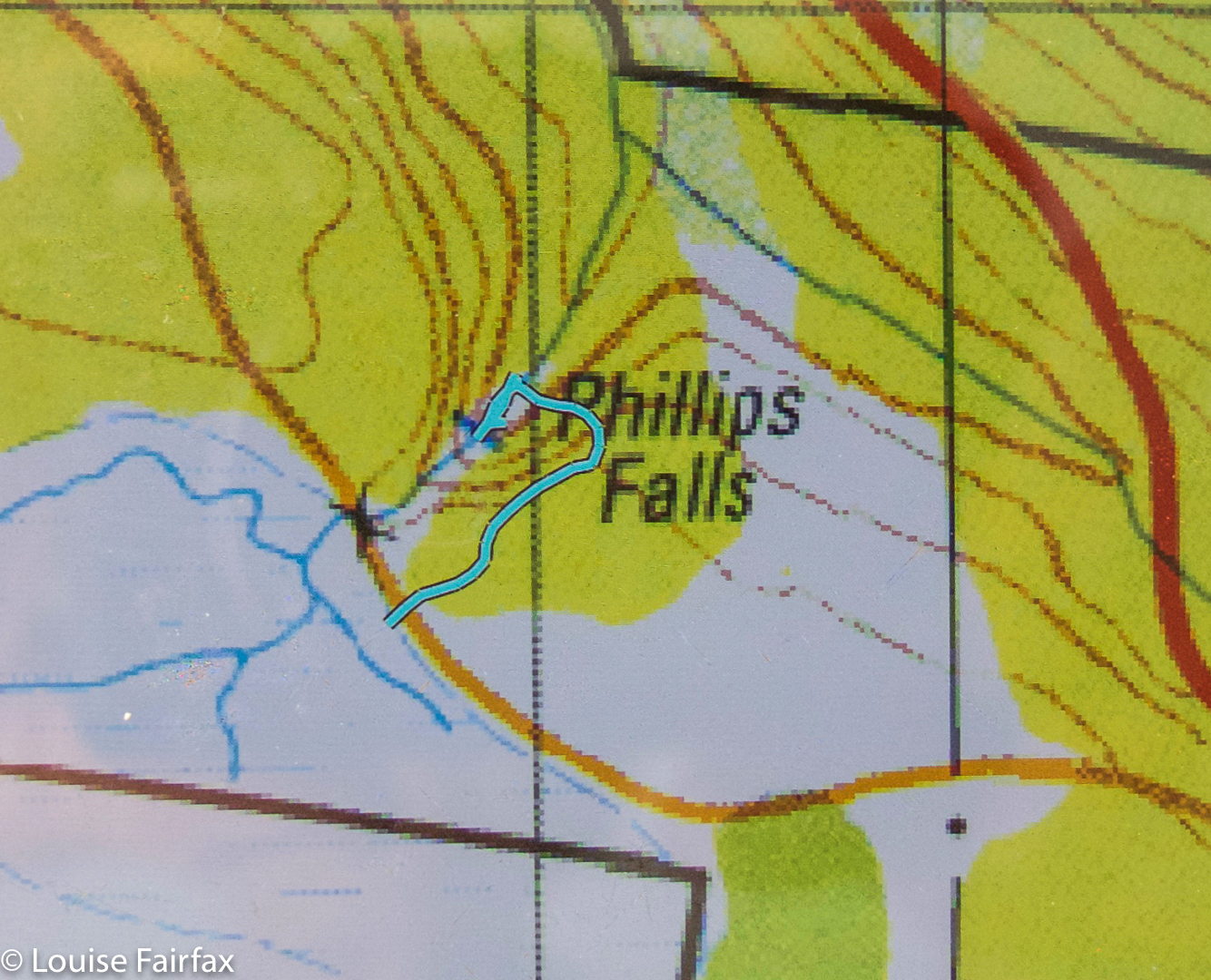
Hogg Creek Falls were the final falls on what I have retrospectively dubbed the Sheffield Falls Circuit, in which I took in Phillips, Cethana, Narrawa, Hullablaloo, Upper Hullabaloo and now Hoggs Creek Falls. I would love to say I carefully designed this route from home after a great deal of thought, but the truth is, it just kind of evolved as it rolled along, with each new falls attracting my attention from the periphery of the map of the previous falls, A kind of adventitious circuit. I like surprises.
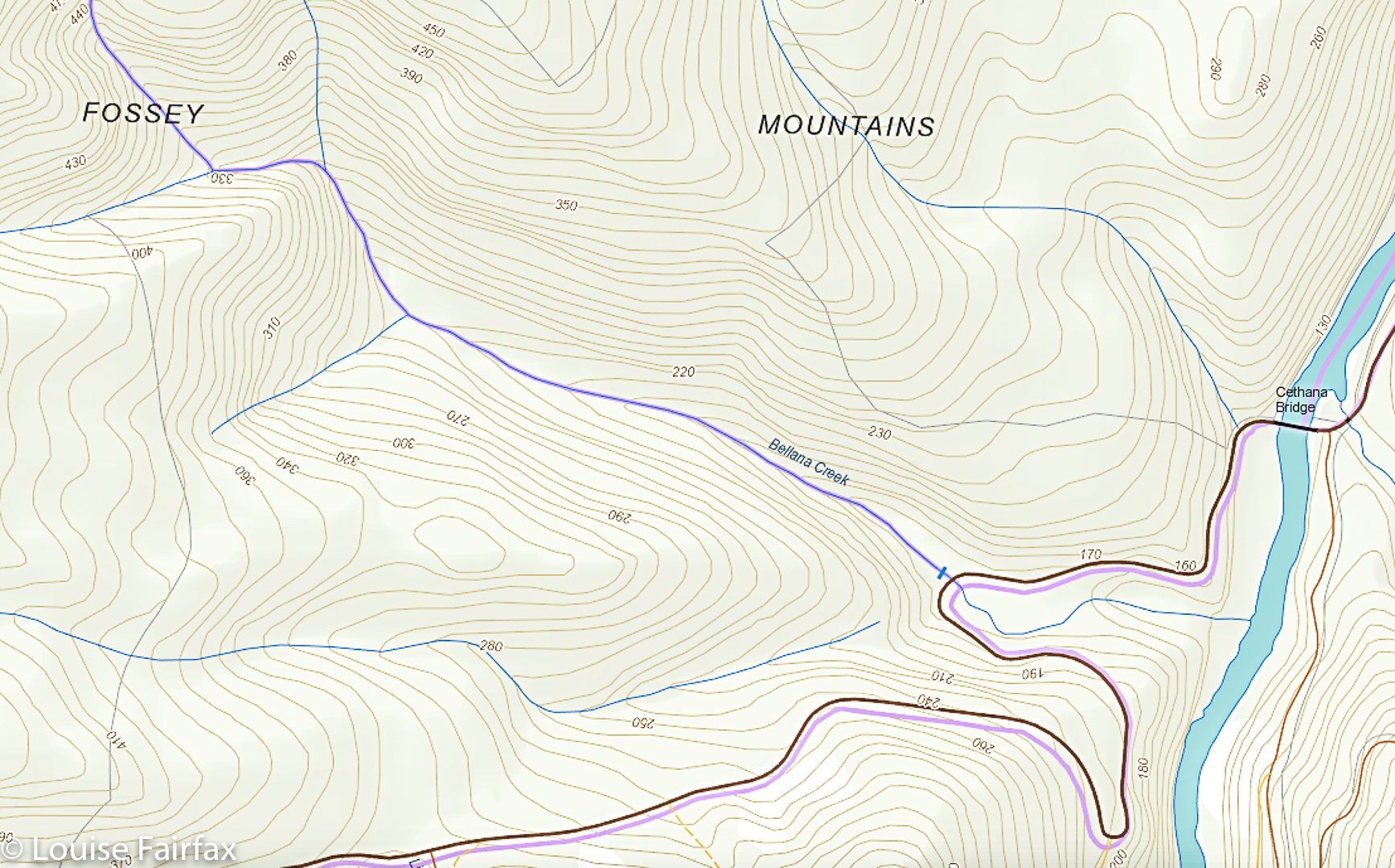
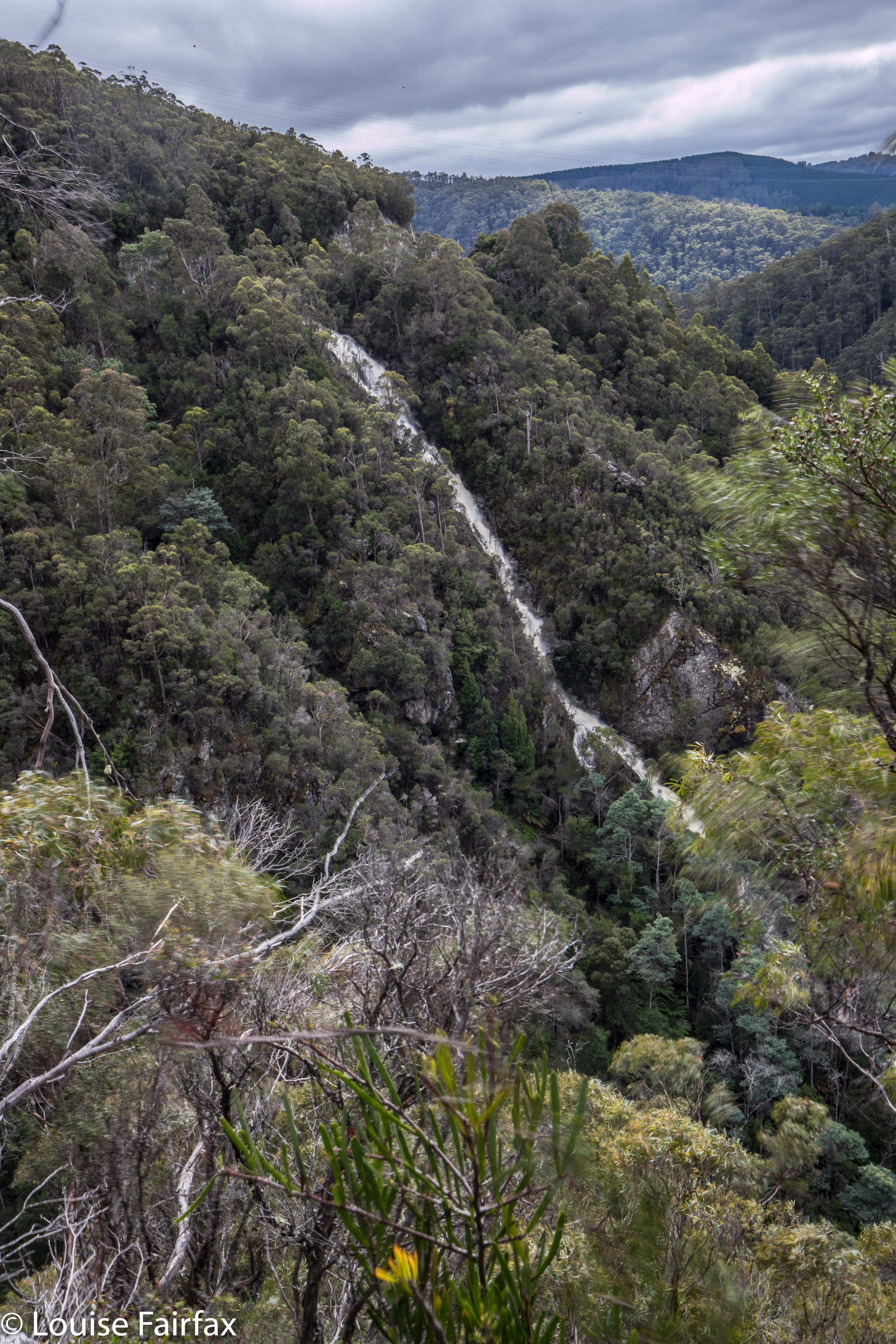
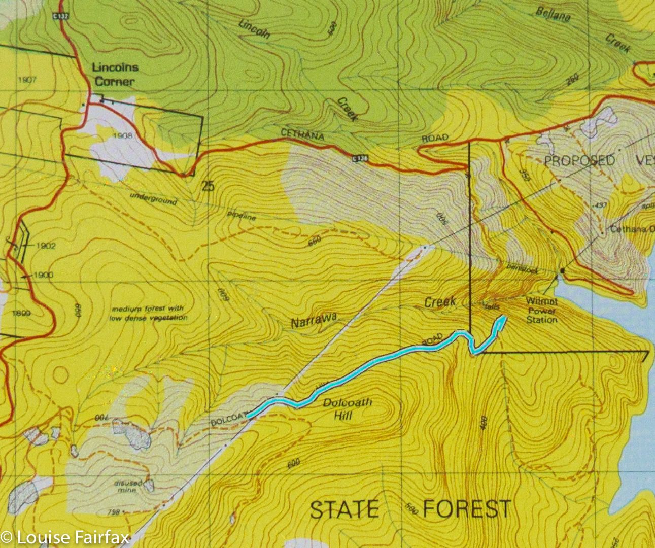
 Coming from Lemonthyme, which is adjacent to where the Hullabaloo two were, I headed back through Moina, Wilmot, Lower Wilmot, and Lake Paloona dam; shortly thereafter, along the road to Lower Barrington, was the first part of my final goal: Hoggs Creek. Hm. Where are the falls? My map didn’t rightly say … or was that black smudge there a waterfall? I couldn’t see any other possibilities, so thought I might as well try in that (downstream) direction. I can’t say it looked particularly promising, with lakes rather than waterfalls in abundance (very attractive they were, too, especially in the light drizzle that was now falling), but then, upstream looked every bit as unlikely so I opted for down. I also didn’t have a clue if one side of the invisible creek was better than the other, but the eastern side seemed fine, and had a parking possibility, so I settled for it. I’d set out and, if I failed, then try a different tack. I still had lots of time before dark, and am rather careless where distance is concerned: a tiny bit of extra exercise is a pleasure, not a problem. I was getting hungry, despite my hearty lunch, so thought it would have been nice to have a route description for a change, but, well, I didn’t, so that was the way it went.
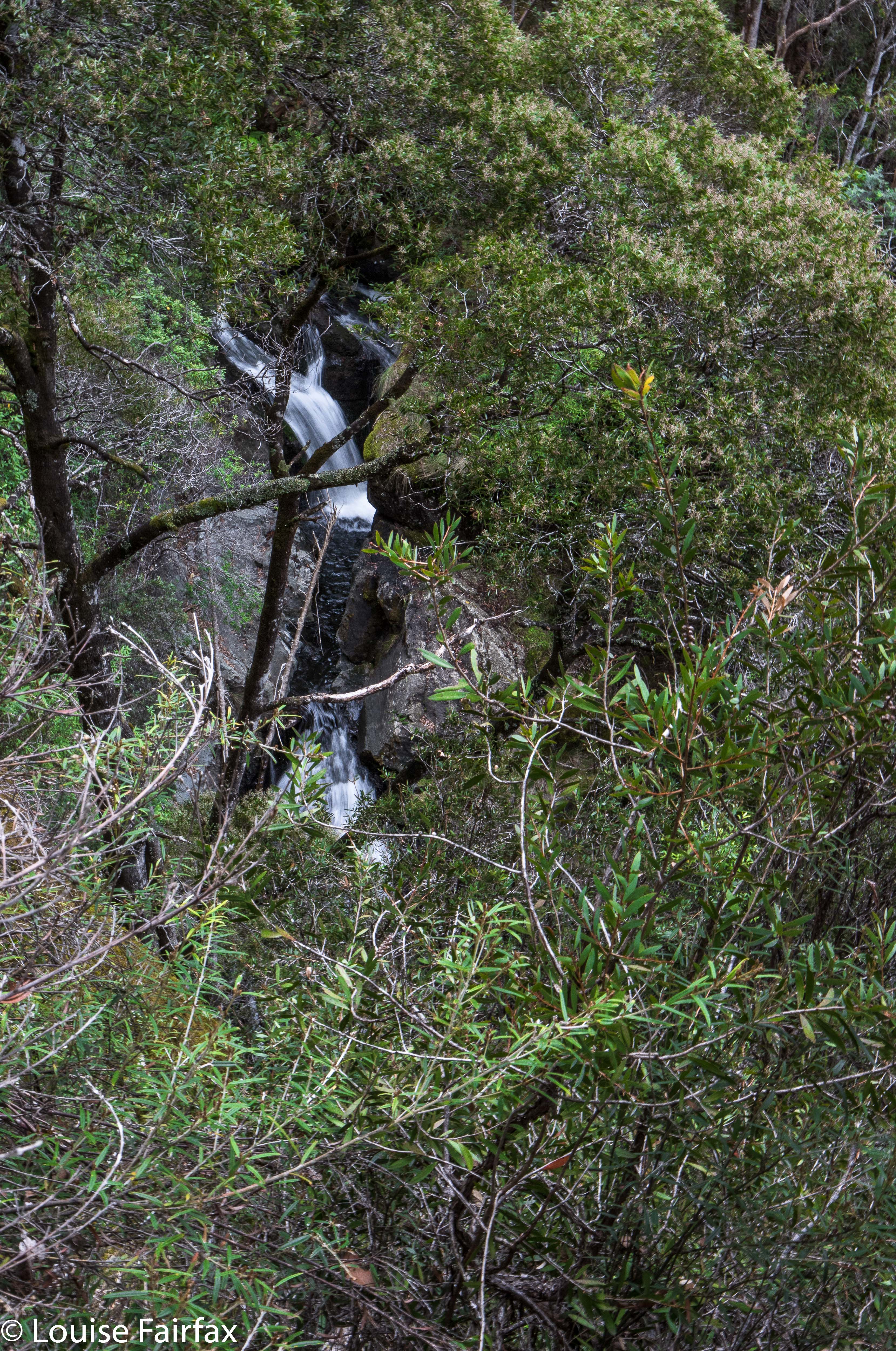
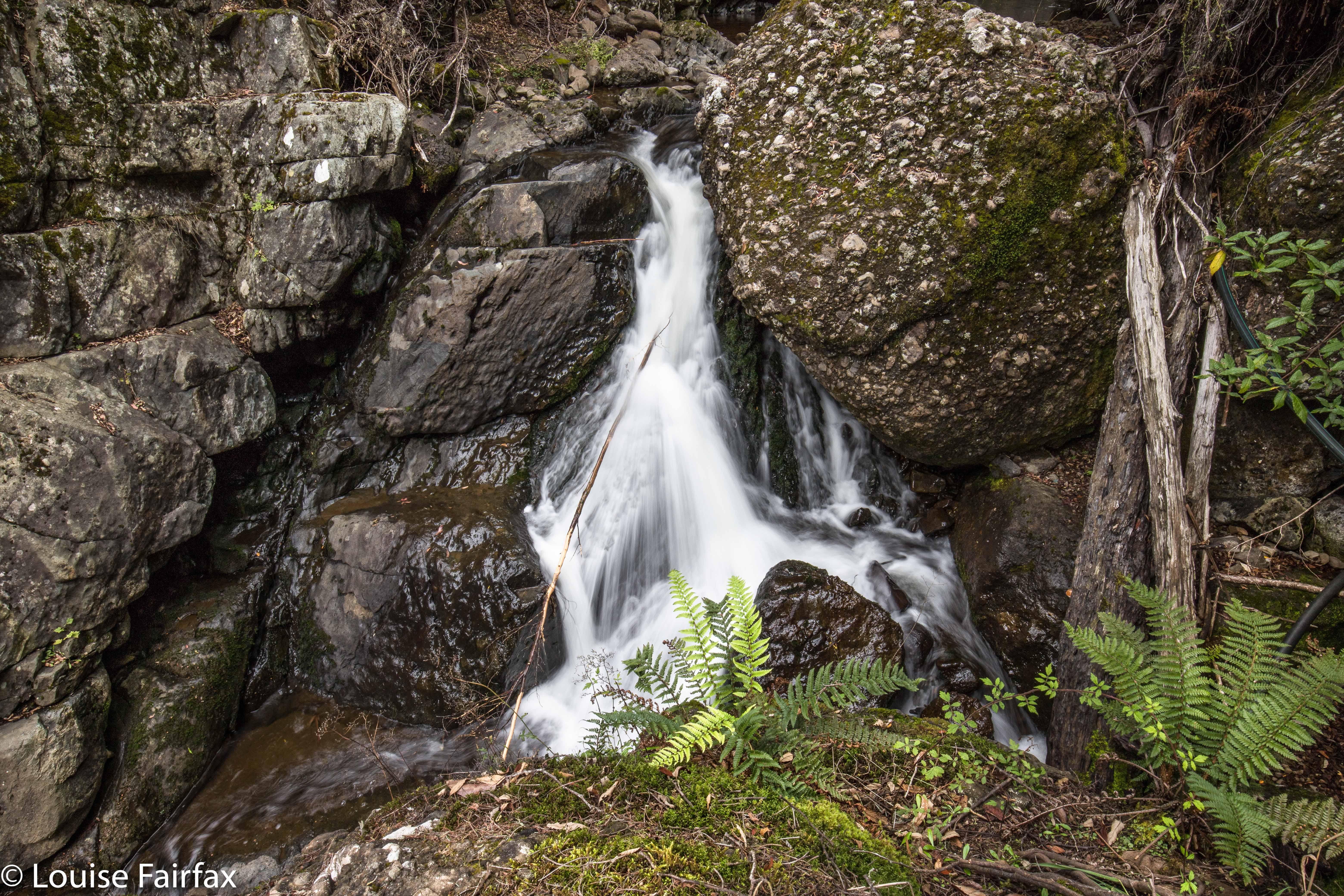
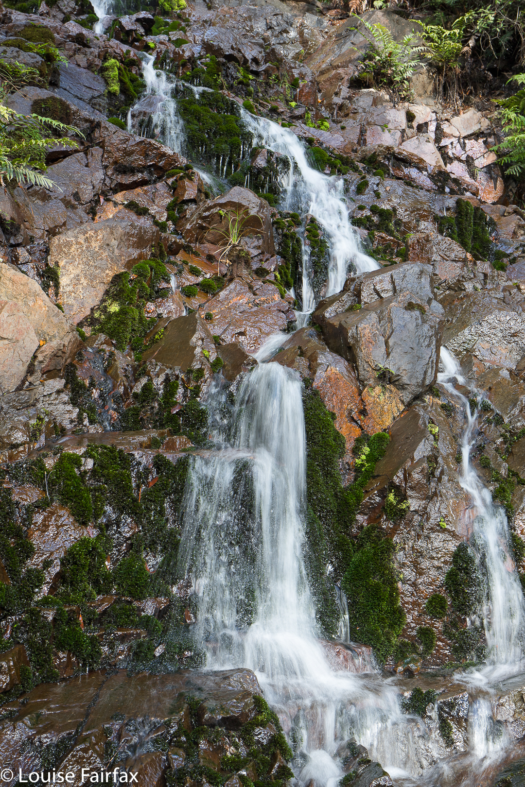
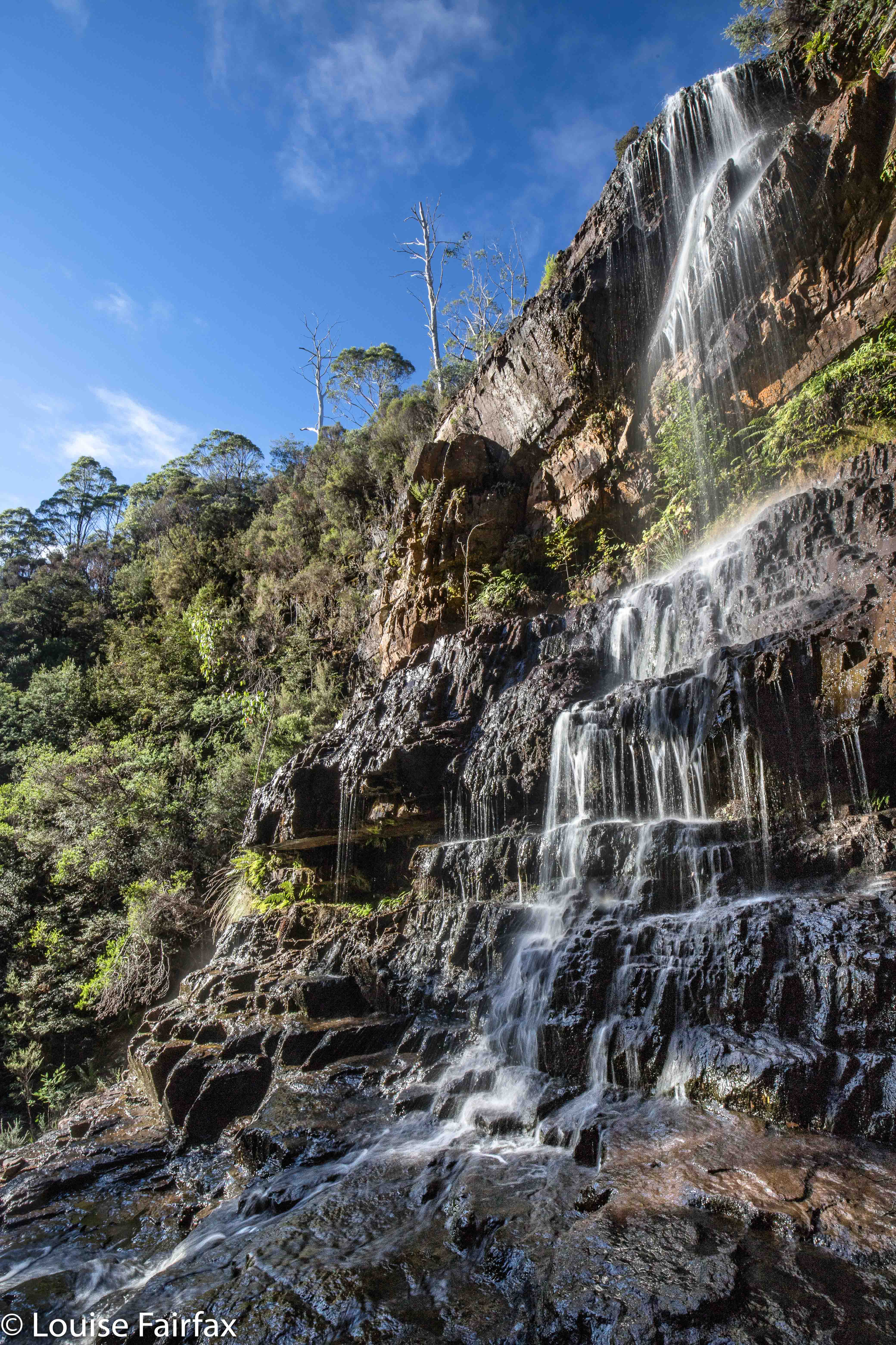
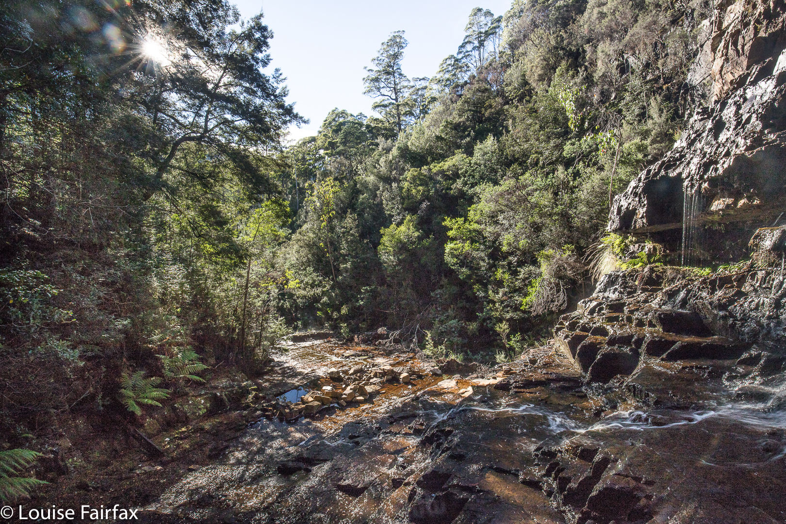
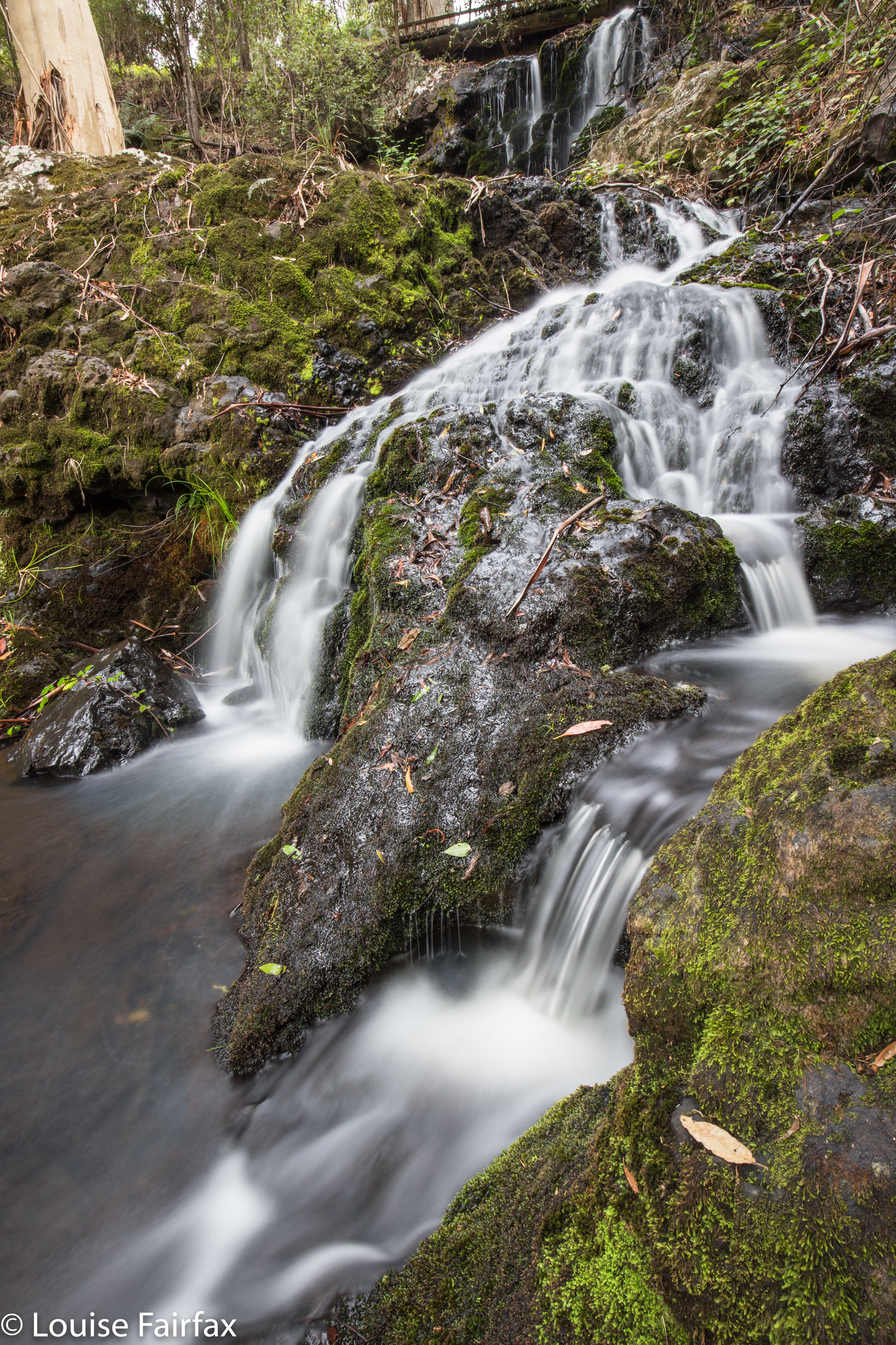
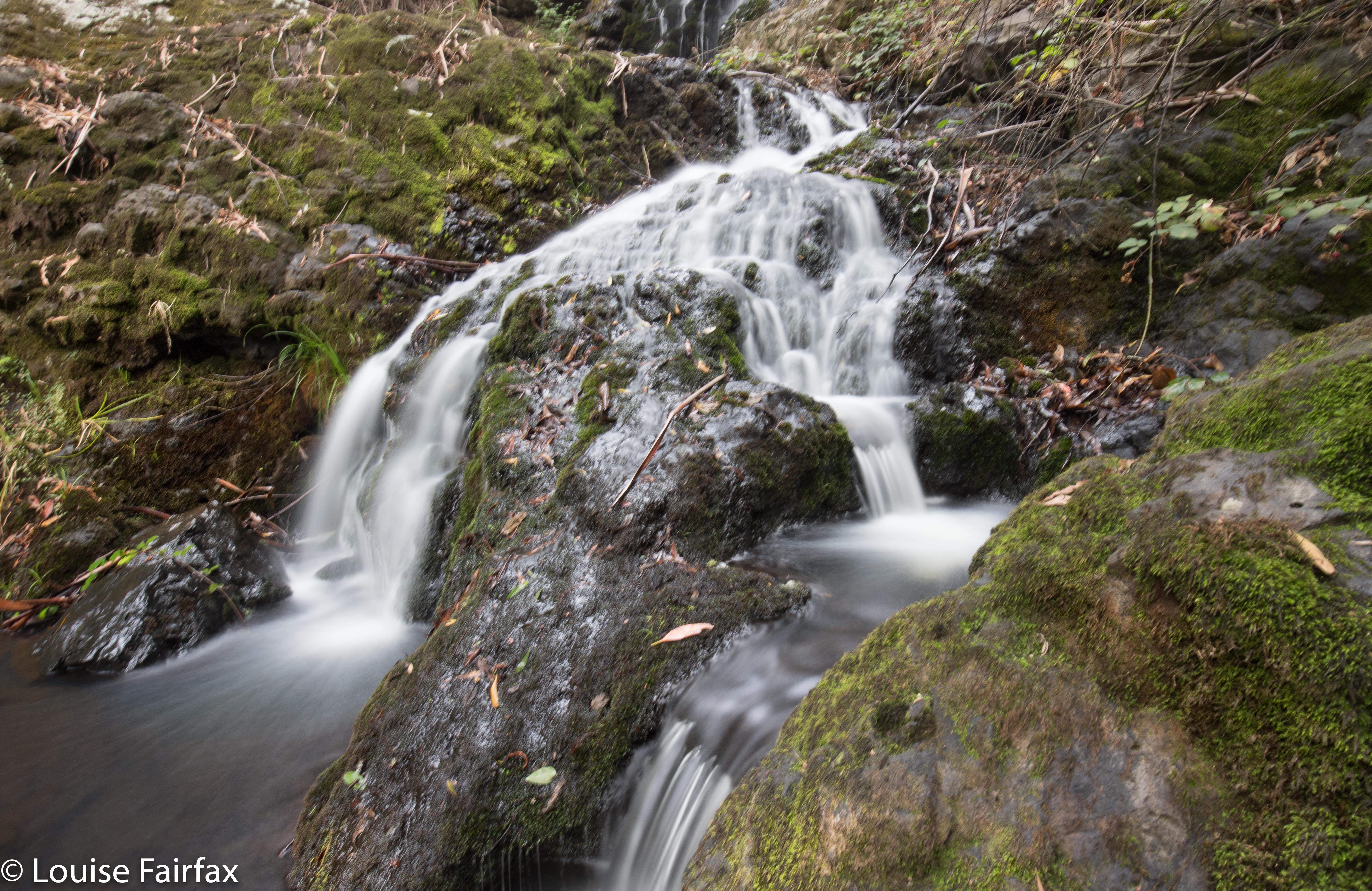
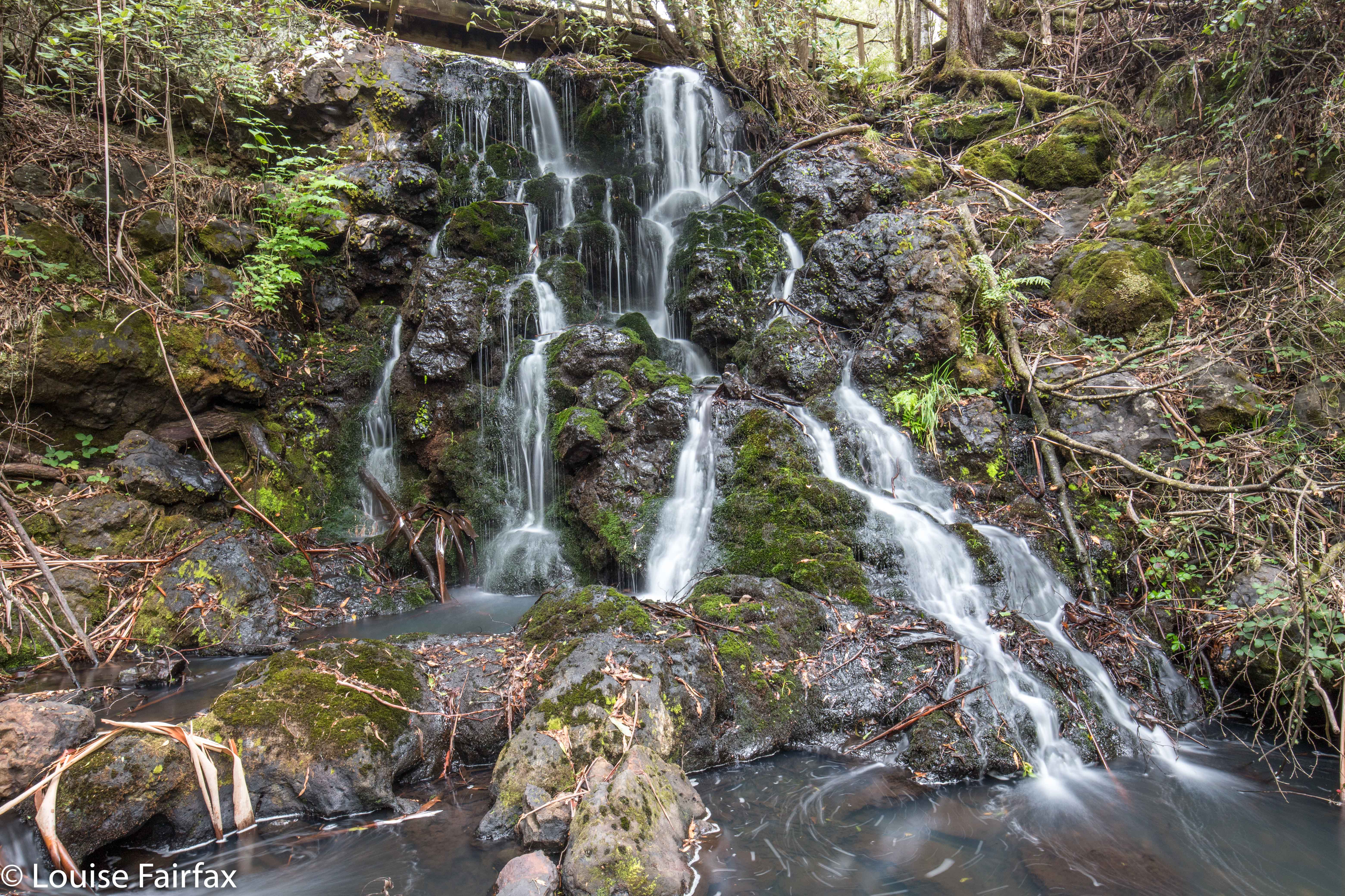 It needed a bit of dedication to push through the blackberries that obstructed my path using this approach. You, lucky reader, can learn from my blunderings, and not take this route (I did not get cut or scratched, so it’s not a violent drama, but my return route was faster and much more comfortable). After maybe about ten minutes, things started looking more promising, and a creek started forming, and tracks showing that some animal or other had walked here began to appear. And then, just as before, right when I was on top of the falls, a pink ribbon materialised. I crossed the stream to where it was, and could now see the bridge that is just above the falls. It’s a cute little footbridge, not a car bridge, as I had imagined. I had read not to walk on it, but when you weigh what I weigh, you can walk on rotten bridges with equanimity, so I did to save time. I was not scared. But if you weigh more than I do, perhaps you’d better heed the warning. At last I could see my falls. Six falls for the day, and all reached. Hoorah.
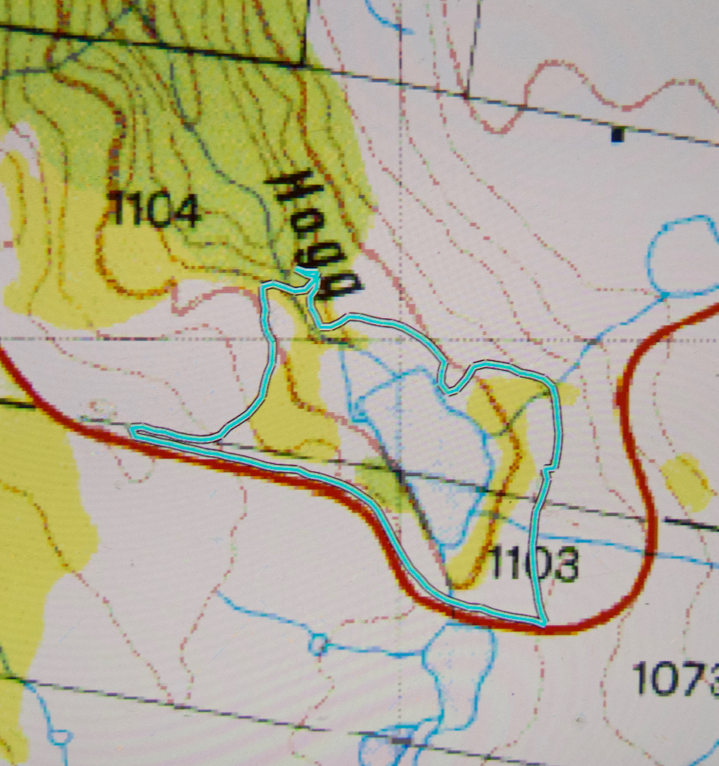 Just for kicks, because my life is obviously so dull that this constitutes a kick, I returned via the other side, and went up the grassy spur. It was quick and easy. At the end was an electric fence. Having once been electrocuted by one of these, I was not enthusiastic about going through, and I could see a gate higher up, so went back on myself to go through the gate. If you’re not wearing a huge backpack full of copious camera gear, then you could probably get through the gap between wires, but I was too large with my 9kg pack on my back, so chose the gate. The trip back was a lot faster than the trip out, and, once more, I had done a little circle.
Perhaps the biggest find of the day was not a waterfall, but another piece of writing that caught my eye as I drove through Sheffield, that announced Italian coffee and sweet treats (Fudge ‘n’ Good Coffee). Now you’re talking. I slammed on the brakes. No police heard me. That was one of the best cappuccinos I have ever had, and the guy who owns the shop, Chris, is a fabulous photographer, so I enjoyed viewing his work on the walls while I waited for the caffein. What a great end to the day.