New Town Falls 2017 Apr

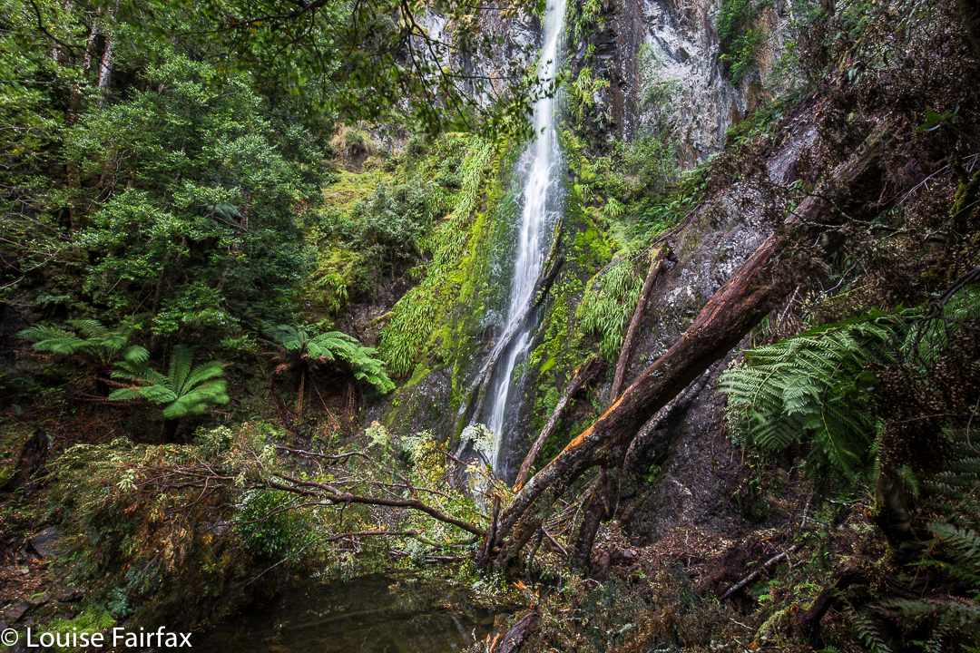
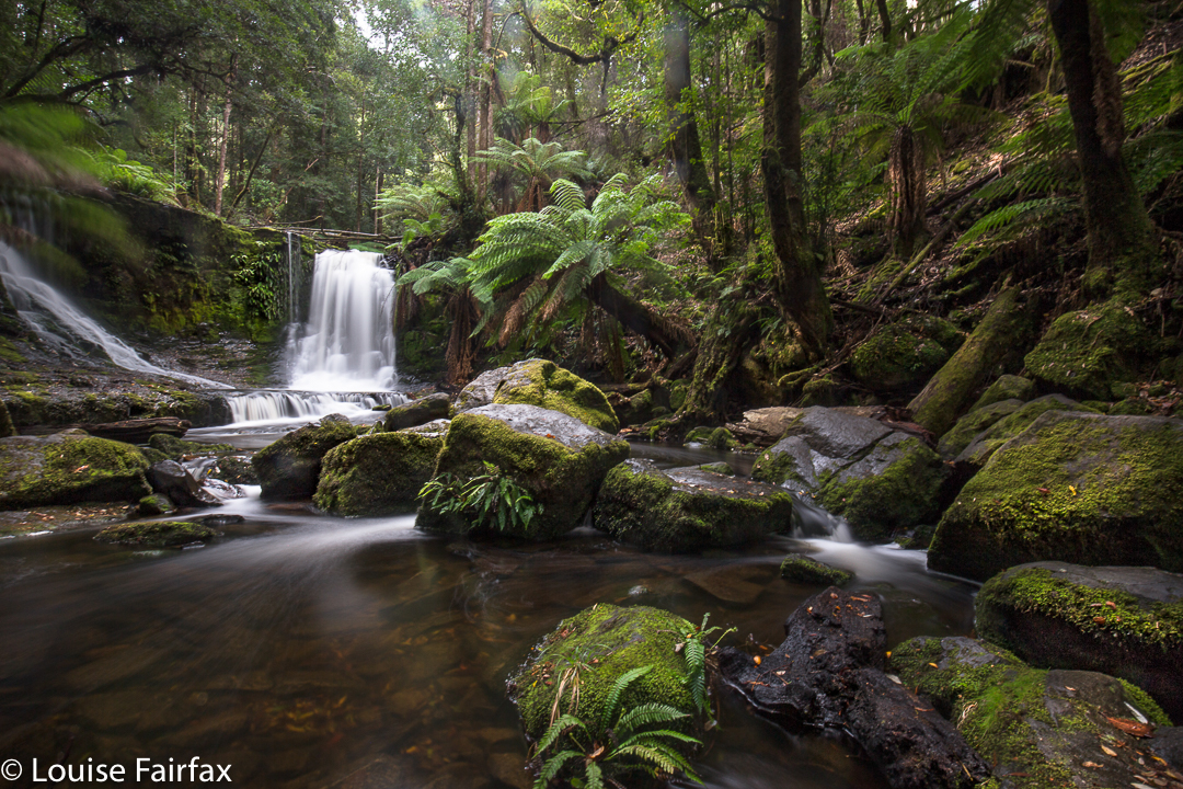
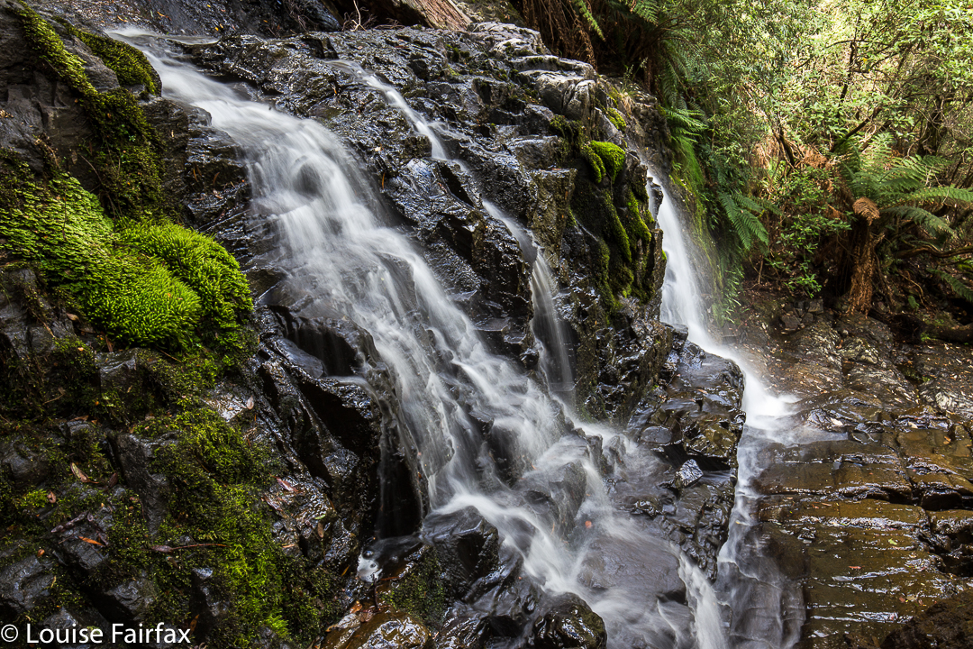
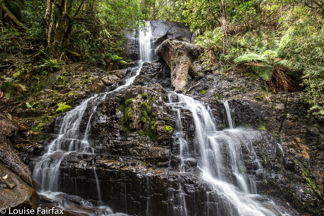
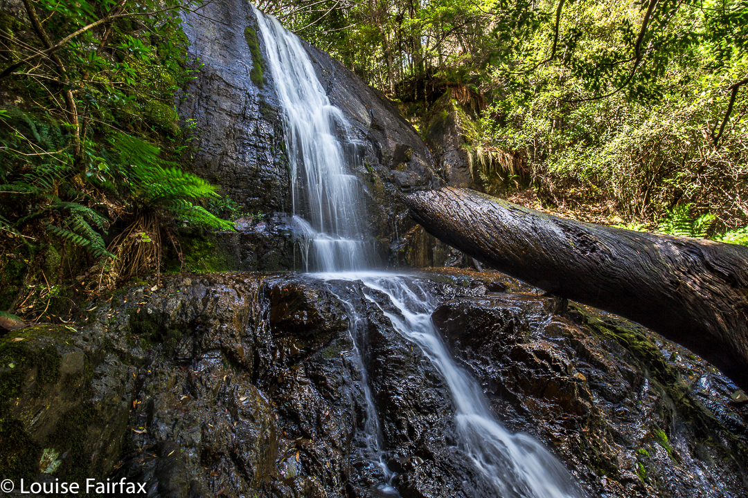
New Town Falls April 2017


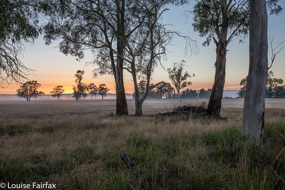
Sunrise near Campbell Town.
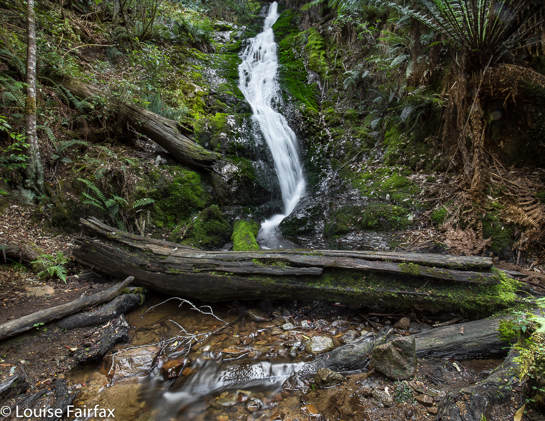
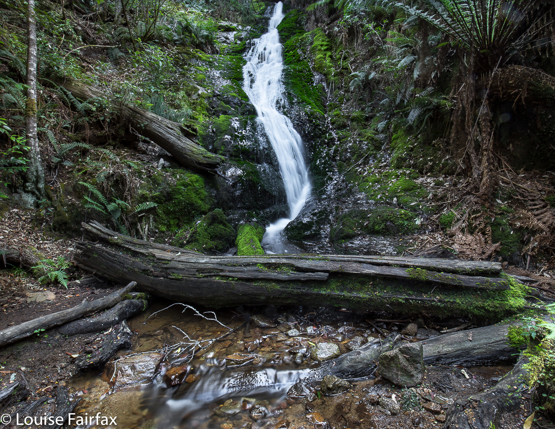
I have obviously been romanticising about the amount of rain Hobart has had of late. I thought there’d been enough to give the New Town Falls a bit of a flow, and as I had other business to do in that fine city today, I decided to balance the boring act of driving with a beautiful walk to a falls.


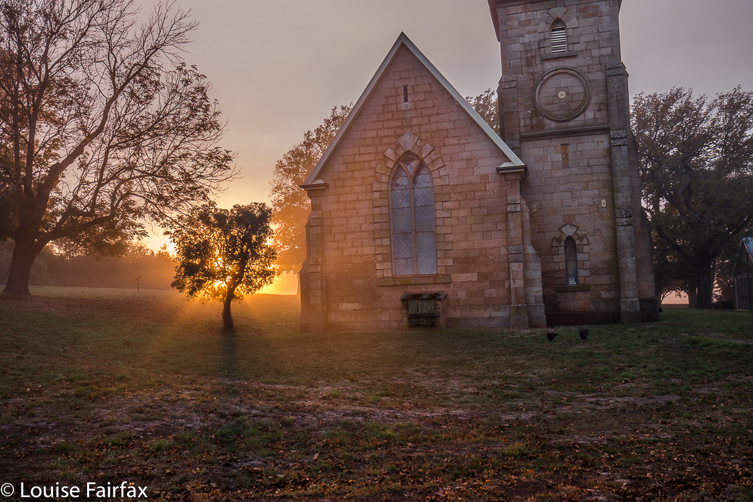
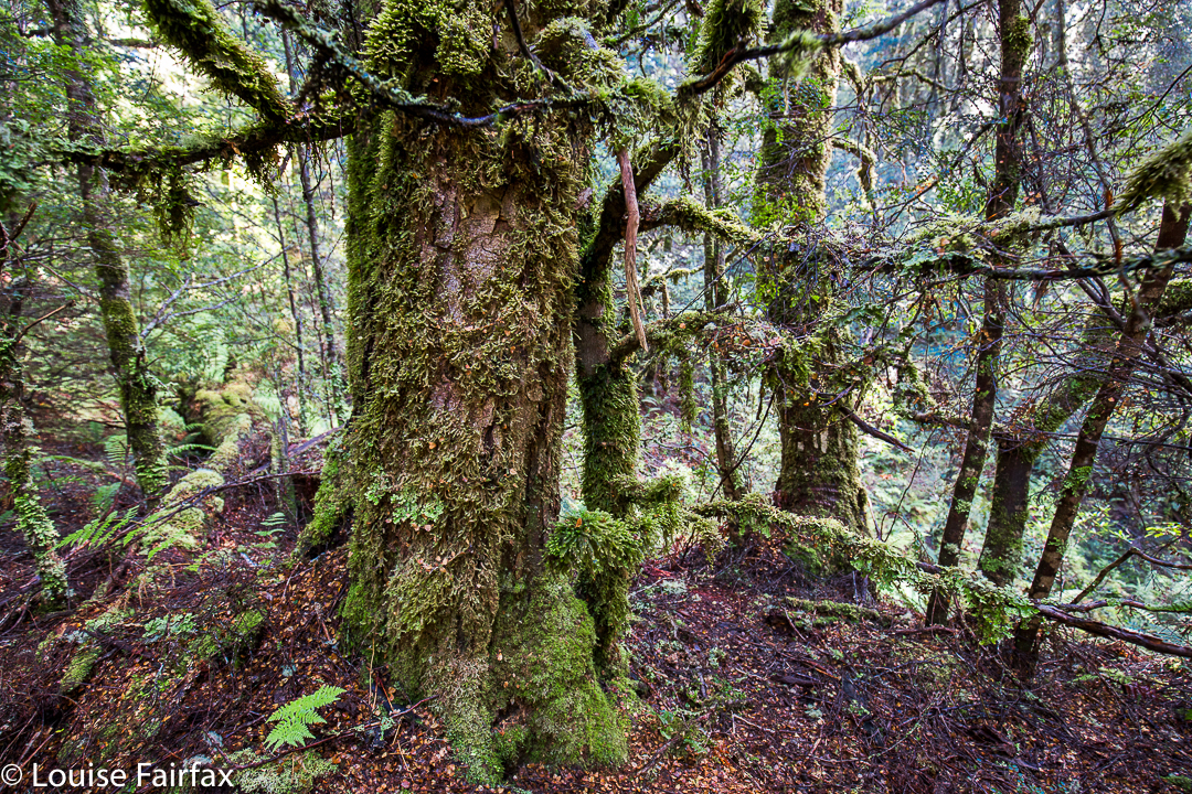
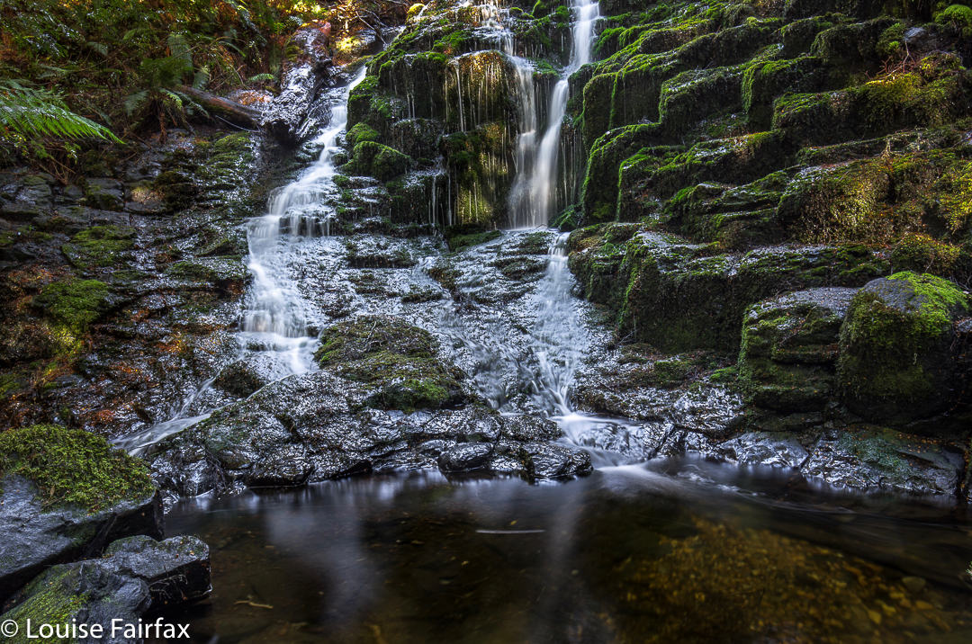
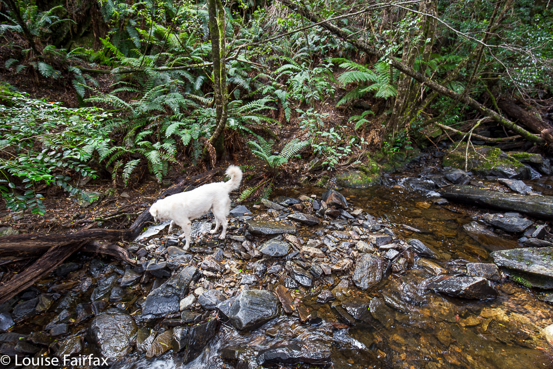
Well, the drive was not boring in the slightest and thus needed no counterweight (we had the most spectacular sunrise with misty effects near Campbell Town), and we did get a beautiful walk to the falls. The only negative aspect of the jaunt was that the falls were not falling. In fact, so dry were they that I didn’t even take one single photo of the matt cliffs that were now exposed, looking all dull waiting for rain. Anyway, we now know what the trail is like (see directions below), so are well informed for our next, hopefully wetter, attack. And meanwhile, our dog claims to have bagged yet another waterfall. She’s building quite a collection, and finds waterfall bagging to be a terrific sport.


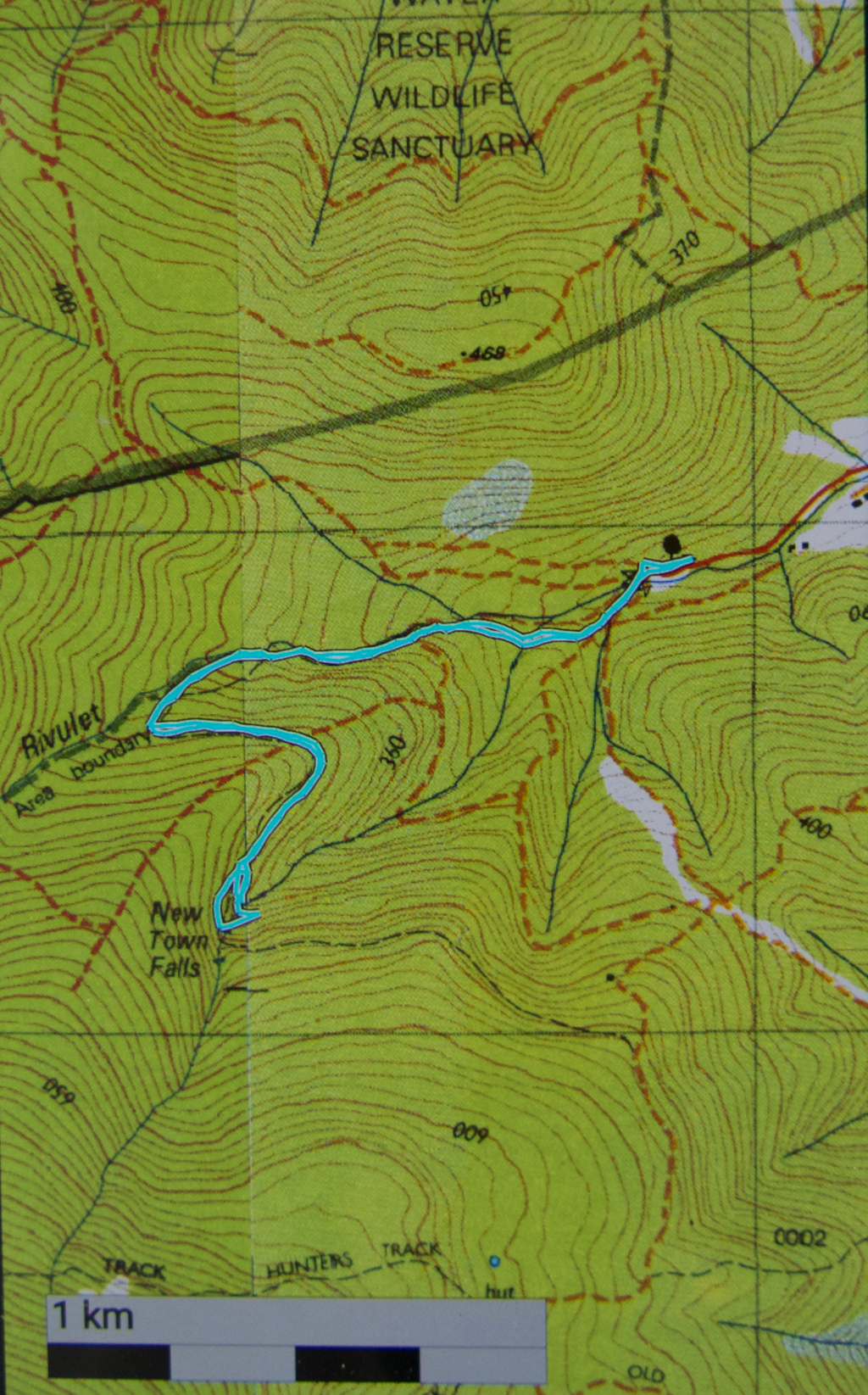
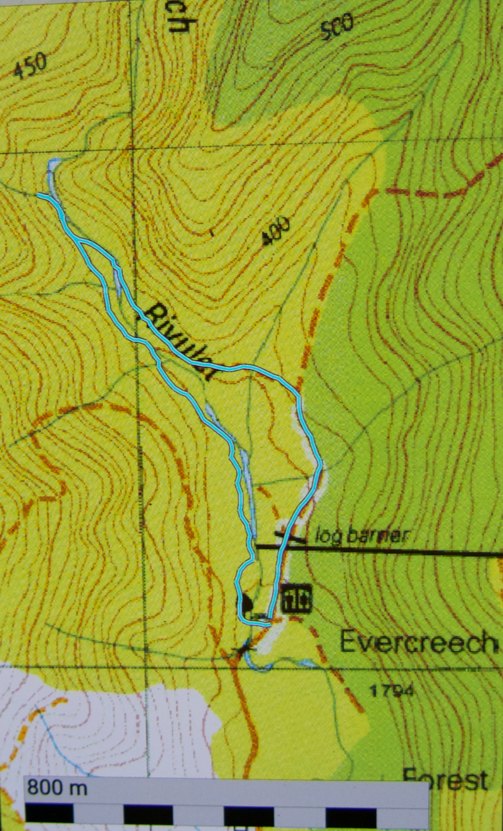
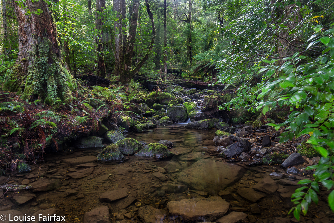
Route: We followed the Lenah Valley road to its terminus, and began walking on the “road” over the creek there (New Town Rivulet) and up the hill on the Lenah Valley Fire Trail, of firetruck width (as is appropriate for such a trail). Ten minutes after beginning, there was a much narrower Lenah Valley Trail – of single human width and going steep uphill – that hived off to the right of this main wide trail. There was a chain handrail, and some steps after a few metres. This narrow walking path continued to follow the same rivulet that the wider track had been pursuing. This stream is not the one that the falls are on.


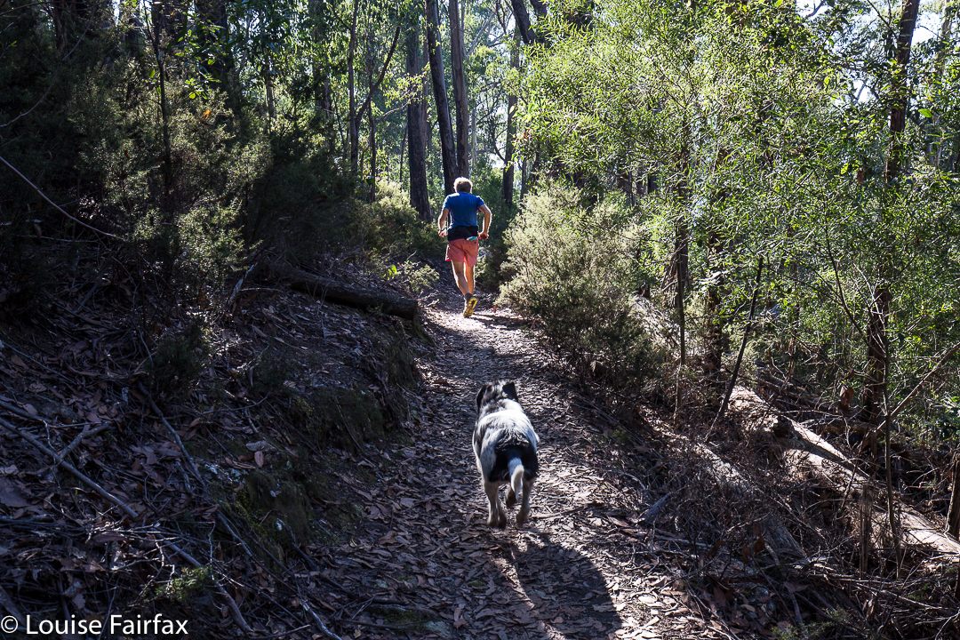
My husband, hurrying to get out of the road for my photo – but I wanted him just there, right where he was in that patch of light.
After ten minutes on this pleasant, mossy path, there was a Y-fork: the right branch, not the one wanted, continued up the hill on a trail that now sported the name “Old Hobartians Track”. Ours was the left hand turn, leading to New Town Falls, and also to Junction Cabin should one decide to go further. This continuation of the Lenah Valley Trail takes you around the nose of the spur to your left, and then delivers you to your waterfall. This section is mostly on contour. After a total of thirty minutes since leaving the car, we were looking at our empty falls.


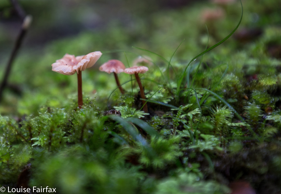
Just before the falls are reached, the track branches into two, with neither offshoot being signed. The left (lower) one leads, predictably, to the lower falls, and the right to the upper. If you go to the upper first, you can cross the creek and then take a tiny path downhill to the lower. Cross again and climb back up on the path to where you first met the fork. This little circuit took us six minutes. We were not delayed by photography, sadly. It was then twenty three minutes back to the car. We were thus back in around an hour. Do remember that these times are walking only. Under normal conditions, add in time for photos and, if you’re lucky, for fungi spotting. Our walking times were half the recommended. We were not racing, and my husband has had Parkinson’s disease for fifteen years, so is no speedster. That said, he is remarkably fit still for a man with his terrible illness (or for any ‘average’ man, for that matter). Also, I am not sure that the circuit described would be possible when the creek is in full flow. Two people we met near the car said that in the depths of the wet season, it isn’t even possible to cross the New Town Rivulet where the cars are. They suggested phoning Hobart council to see if the stream is crossable before setting out if there’s been a lot of rain.
Total walk for the round trip, according to my gps, was 4.5 kms, with 238 ms climb, yielding 6.9 km equivalents.

Evercreech Falls 2017 Apr

Evercreech Falls.


The Evercreech Falls were the second part of the walk I was leading yesterday. (See natureloverswalks.com/mt-blackboy/ for part one) I would never normally have gone to the Evercreech Falls at this time of year. I knew it was too dry for both a decent flow and for the fungi that I so love seeing, but the club wanted me to do it, so I agreed; I like to give back as well as to take when it comes to club bushwalks. I intended, however, to do it when the waters were running and the fungi were out, which is not early April. Predictably, the fungi were desiccated and the falls offered only a moderate flow. These photos are what I managed to see under the club-type conditions. Thankfully my charges didn’t mind waiting while I took a couple of thirty-second exposures. (Setting up actually takes an inordinately long time – especially when you know you’re holding others up.) I’ll redo the long drive some time in late May after enough  rain has fallen to reawaken the forest and invigorate the falls. Until then, this is the best I can give you.


When you arrive at the forest reserve, there is a big shelter to your right, and an ugly metal bridge to your left. The loop, if you choose to do it, begins at the far end of the road if you go anticlockwise, or at the ugly bridge if you go clockwise. You can go up and back on the western side (i.e., using the bridge), and thereby avoid the creek crossing pictured above. Two out of five of us fell in negotiating this rope (only up to their knees). The group I led took 18 minutes going on the right hand side of the loop (eastern, over the creek as above) and 18 minutes back on the other side, so the forty minutes is, if anything, a bit of an underestimation, as it allows for only a couple of quick snaps at the falls. Of course, I wanted longer than that. (One starts at the southern end of the track, if that isn’t clear).
The route we took in cyan below is not on the map, and before going, I could not find any information on exactly where the track went. I hope this information helps.

Quaile Falls 2017 Mar


Every time we drove to Cradle Mountain and saw the old wooden sign attached to a tree saying Quaile Falls, I wanted to see what they looked like, and yet, every time, I was repelled by the other, much bigger and louder sign, there in its red and white starkness, announcing that this was Private, and that I should Keep Out. In addition, we were always either in a rush to get to the mountain, or equally anxious to get back home. Quaile Falls didn’t get a look in. Besides, how much time did one need to do this trip? Did one go right past the indignant owner’s house? What lay in store if one went down that road?


Upper Quaile Falls, encountered after fifteen minutes’ walking.
My curiosity was further ignited by the knowledge that a few friends had recently been there, and I felt it was time to find out how things lay. However, I had long since realised that a “we’re-passing-by-so-we’ll-just-call-in” kind of trip wasn’t going to happen. These falls required their own dedicated journey. And so, last week we set out to visit them in their own right, unaccompanied by any other purpose.
I retrieved how-to-get-there information from the Waterfalls of Tasmania website and off we set. The alluring sign that had attracted me for so many years was gone, but the dirt road remained, on the map northish from the falls themselves (and before the turnoff to Cradle), and leading down to near where the falls are. According to the web, there would be a small parking area (correct) with a sign pointing in the direction  of the falls, and pink tapes to set us on our way (all correct).


Olivia Creek
From the main Cradle Mountain Road (C13), looking south in the direction of the falls, you would never believe that such lovely myrtle forest was so close at hand. It looks quite barren and dry from the road. The track through the forest felt ancient. I guess it wasn’t private-keep-out in some bygone days of greater generosity; no doubt, before our legal system decided that if I fell on your land it was all your fault for owning it, and not mine for being careless. I can hardly blame the owners for trying to keep us out in the current state of affairs. I would too.


Actual Quaile Falls
As my source said, it was fifteen minutes to where I could first hear the Olivia Creek, and just beyond a creek junction to my right, lay the Upper Quaile Falls, which I actually found to be more attractive than the real ones, which, to be sure, have a huge drop, but the latter are a rather unadorned straight line, and at present, have quite a lot of debris at the bottom. The actual Quaile Falls were a further fifteen minutes from the Upper ones.


The top of the falls was a beautiful forest with gurgling, clear stream cascading over rocks and making lovely pools. I parked my husband there and said I’d be thirty minutes, planning to climb down the cliffs to the bottom. Thirty minutes was a gross underestimation. There was no pad that I could find leading to the base, so I made my way down the very steep slopes, over, around and under massive amounts of fallen timber, sliding down what I hoped I could later climb up, until I got to a spot that I decided was “good enough”. I’d used up too much time doing that much. My husband would be worried. Another tier lay below. That could wait until a day that I had someone with me. That would feel nicer. I took some shots from where I was and called it quits.
We had lunch back near the car at the edge of the forest, and were home in time for me to have a run in the gorge. The trip to Quaile Falls was a great outing, but I hadn’t exactly used up a lot of energy.


(The Road name you can’t quite read is “Dove River Road”)

Horseshoe Falls 2017 Feb


The location for this photo is perhaps a tad less than original, but there’s a very good reason visitors love to photograph the three main falls in the Mt Field National Park. Of course, one of those reasons is that people don’t have to go too far from their cars, and that there’s a big, smooth path with sign posts: not everyone relishes a good bushbash.  But the other, and the reason for carparks and smooth tracks and signs, is that the falls are just plain gorgeous. Here is my take on what captured my attention. I stayed here the night, as we were to leave for the Western Arthurs in the morning at a time that would have necessitated a 3.30 a.m. departure from my home in Launceston, had I left from there. Much nicer to camp in a National Park with the sound of the Tyenna River passing by and the feeling of deep nature all around me. A 7 a.m. meeting time also seemed highly preferable.
One of the reasons I particularly wanted to photograph these falls on this visit was that in tidying up my files, I realised I didn’t have one single shot of my own of these particular ones. I must have had a grand deleting session some other time, or just never labelled my other efforts. The omission is now rectified.

Barrow Falls 2017 Feb

Barrow Falls, Feb 2017.


When researching available information to learn how to get to Barrow falls, and to see what I could expect, I noted that the material made them sound a little formidable. We thus wore our full bush battle gear for the journey, and were not actually confident of reaching our goal: “Don’t worry”, said my husband as we drove towards where I wanted to park and eyed up the rather thick bush to left and right, “we have six hours until dinner.”


I drove down the orange track on the map that I wanted to use for my approach, not quite knowing what would be at the far end. Hm. A house to the left, with furiously barking dogs, and one at the end of the track, kind of opposite, that did not look exactly used. I knocked just in case, anyway. By the time I was back near the car, I could see a lady striding towards her gate from the house above. We smiled at each other as I explained that I had come to ask permission to try to get to the waterfall from here.


“Yes, this is my property. Go and enjoy yourselves. Head down here until you see pink tape and follow the tape to the falls.” What? THAT easy?
“Oh”, I laughed. “We have maps and compasses and a gps system. I thought it would be challenging.”
“Oh well, it’s always handy to have such things,” she chuckled.
Next question: “We have a dog in the car. If we keep her on a lead, can she come too?”
“Don’t bother about the lead”, was the reply.
As a result, all three of us (two humans and a dog) had a fabulous time. Tessa was soon joined by the owner’s retriever, so even made a new friend. The dogs had a lovely swim in the creek when we arrived. The retriever seemed to know his way around very well, and took over leadership of the group pretty soon into the expedition.


Hoorah. A dog friendly walk in Tasmania!!!
Our gps, map and compass did come into use on the way back! There was another lot of pink tape going to a different destination, and I followed it at first, without realising that it wasn’t the original tape of our entrance. Luckily I sensed that things were not as familiar as they should be, and checked our position with the gps – no, we were now well off the old track. I righted it with a compass, and soon enough we were back where we wanted to be. I am also very happy we both wore boots. It was VERY steep in the final descent to the river, and equally steep – and slippery as well – trying to get from the top of the falls to the base. Huge, loose rocks became easily dislodged, vegetation was slimy: boots felt nice and secure.


After all that exercise (16 minutes in each direction to the top of the falls – ha ha) we, of course, needed to refuel our tanks, so stocked up on delectable goodies on the way home to have a celebration afternoon tea. That was a great waterfall.