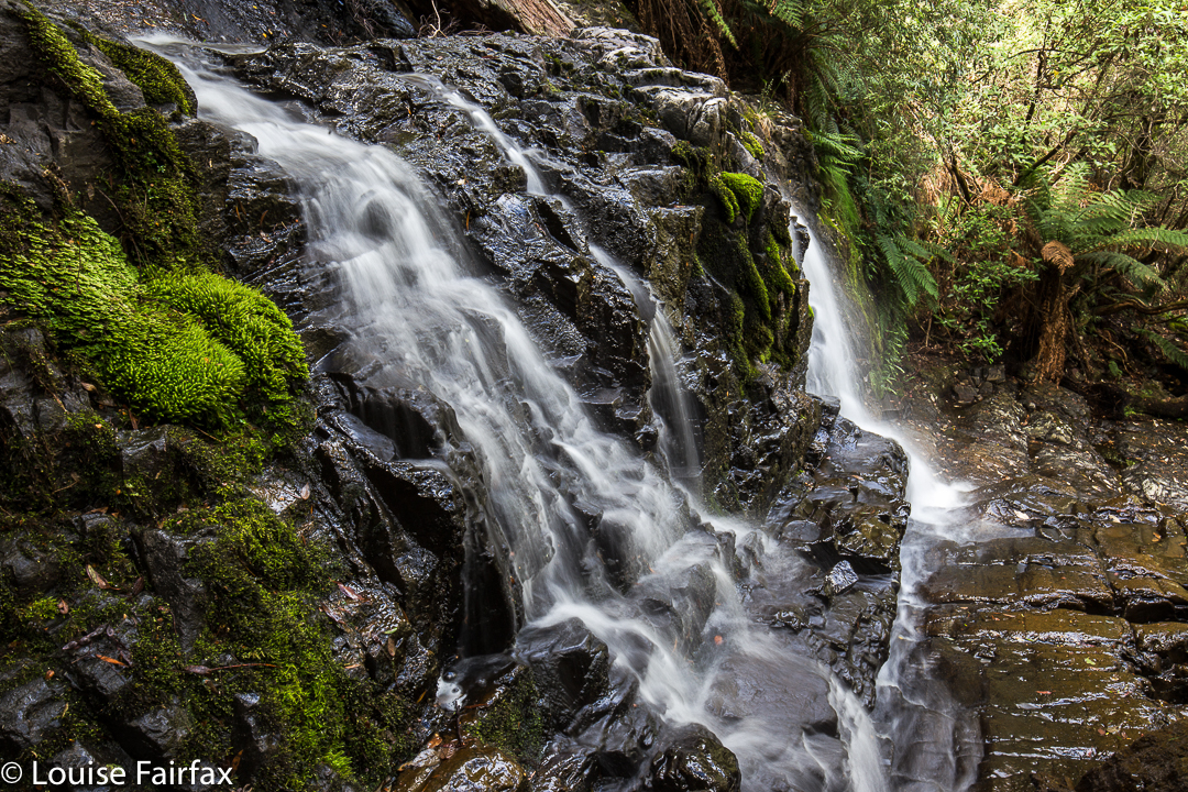
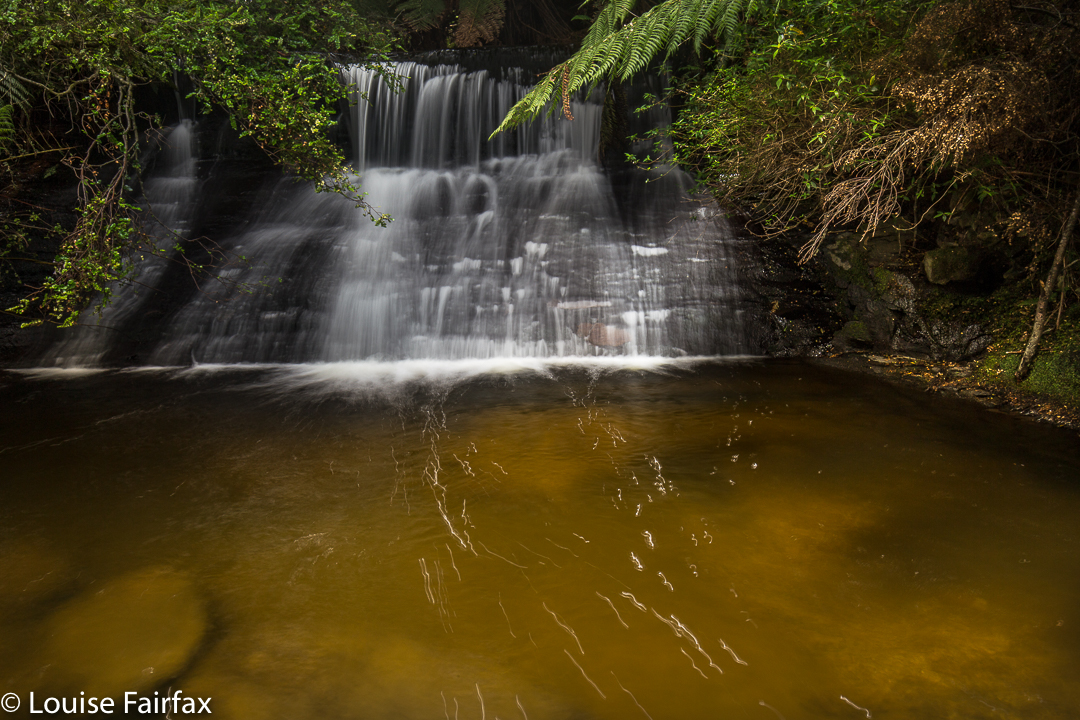
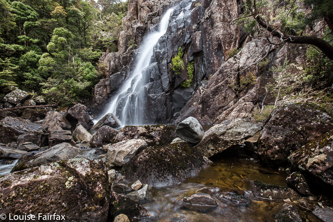
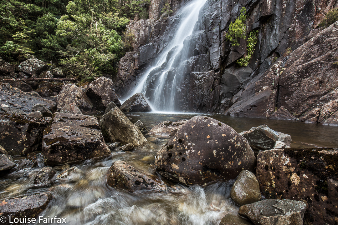
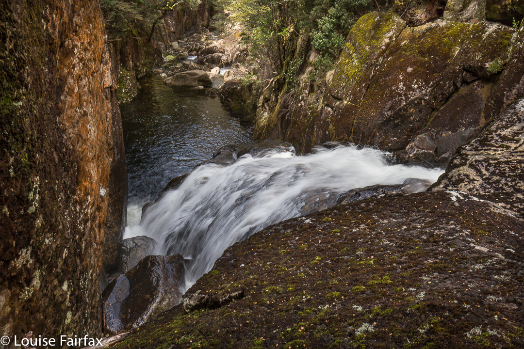
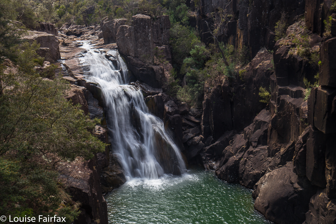
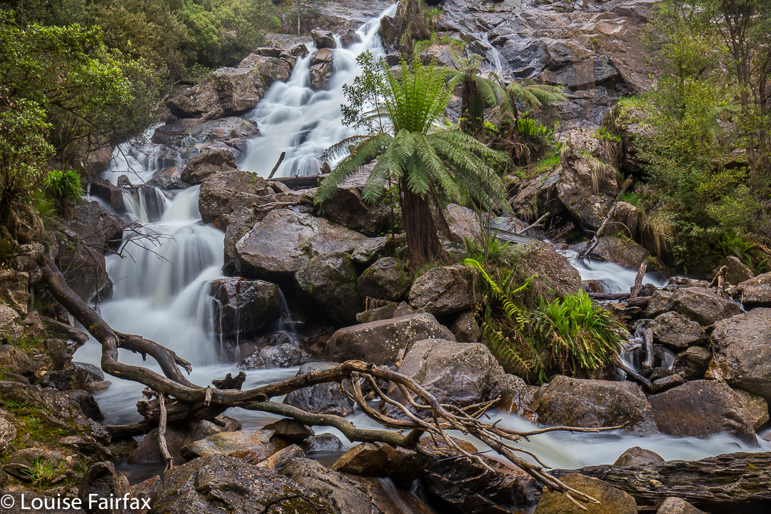
Havelock Falls.
Impossible picture: Havelock Falls
The Waterfalls of Tasmania web, http://waterfallsoftasmania.com.au (a site that I use frequently with pleasure), writes that Havelock Falls can only be seen from a distance, about 500 metres from the waterfall. Furthermore, it is stated, that “[d]ue to its location deep into a canyon, it is impossible to get close to this waterfall. It is also very difficult to get a clear view of the waterfall.” I had read and imbibed this information, so was thrilled that a group of friends I walk with occasionally were setting out on a quest for the base of this elusive beauty. I was hoping to get a little wet from her splash. I don’t like to be restricted to viewing waterfalls from a distance, and above.
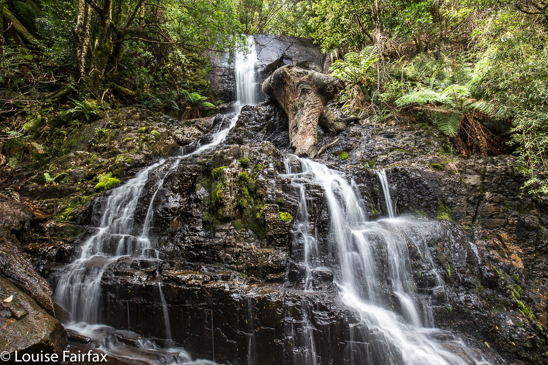
Havelock Falls: Close enough to be splashed
The route we were to follow was a Phil Dawson-John Tabor extravaganza. Phil had in mind a route up from the bottom from a road that emanated from an offshoot of the main road through Jackies Marsh (Sugarloaf Rd – see map below), climbing to a contour of roughly equivalent height to the gorge base, and then traversing in from there. Meanwhile, as a backstop, John had discovered a route in from above, which we would resort to if needed. Either way, we would definitely reach our quest.
Lunch by the river, with Myrtles, plus King Billy and Celery Top pines (the latter IN FLOWER).
Luckily, Phil likes early starts, so at 7.30 we were underway. We would need many of the apparently extravagant allocation of hours available – although part of this was because of injuries, and not all due to the tricky nature of the terrain.

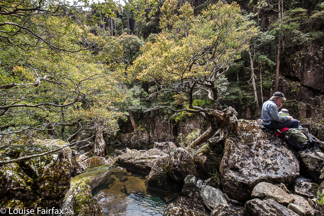
![]() I had very twitchy fingers at lunchtime 🙂
I had very twitchy fingers at lunchtime 🙂Early on, we marvelled at the way the floods had achieved a huge indentation of weathering, carving in their force a new, deeply-banked creek and leaving the old Donaldsons Rivulet (on which these, and also Warners, Falls are situated) more or less small and intact. After the double creek crossing (single on the return, as we were lower down), we located an old logging road, now a little tricky to follow as nature has reclaimed its own. Often the only sign of it was in scattered tree stumps, legacy of its early use. Up, up we climbed, through beautiful forest, but yet again, I have got ahead of myself. Unfortunately, down below one of our party twisted his knee, and very generously agreed to just sit and wait for us. It was to be a VERY long wait.
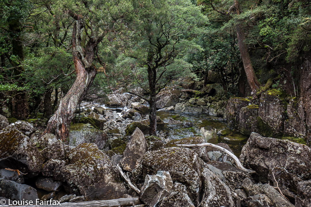
![]() This is what we rock hopped along
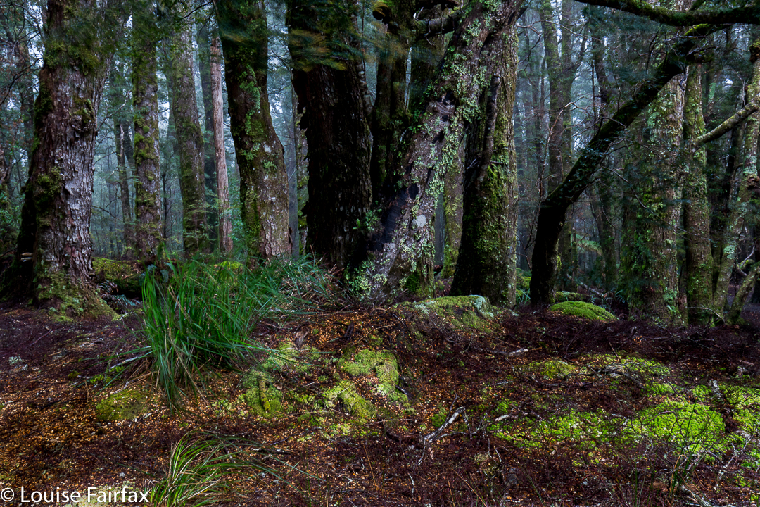
This is what we rock hopped alongWhen we were roughly on the right contour for traversing into the gully, Phil looked at the nature of the scrub and the number of closely amassed contours leading into the gorge and decided that climbing up and over would be a better bet. I really like this decision, as the forest grew even more beautiful, if that’s possible, in the final sections before the plateau, and second, it meant I got to see what it was like right on top. In addition, we were saved an ugly scrub bash and a possibly cliff-ridden trip into the gorge. While waiting a bit for the others, Phil explained to me that this was Cloud Forest, forest in which a great deal of water comes from clouds, leading to the situation that moss grows on all sides of trees and rocks, and not just on the side exposed to rain and water-laden winds (NE here).
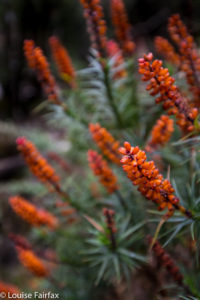
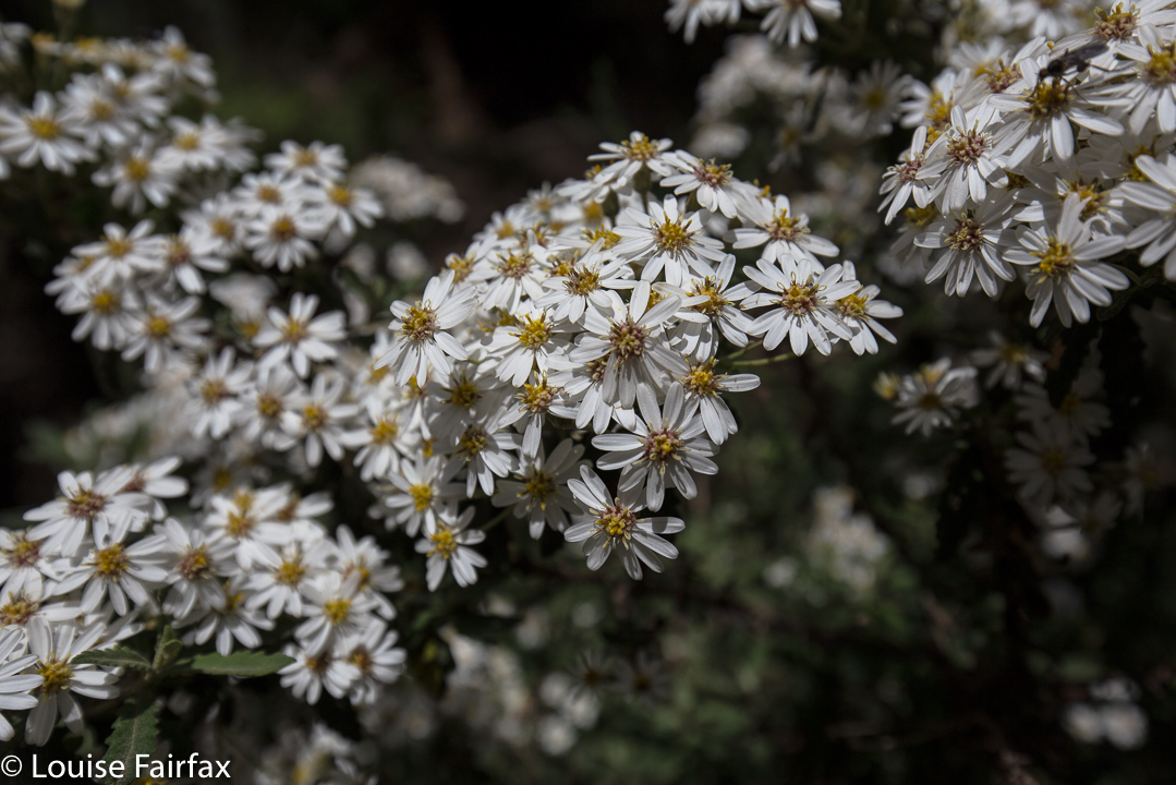
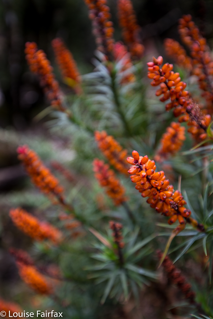
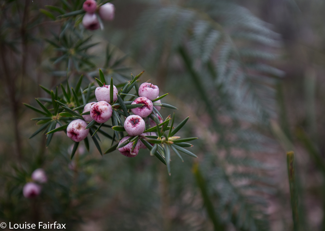
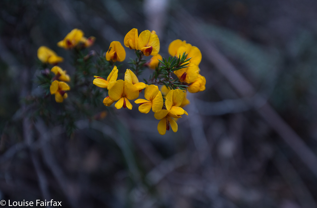
My old friend, Richea scoparia.
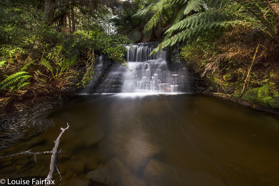
On top, there was a fabulous sense of space as we trod through alpine meadows, nodding hello to a few pointless peaks before dropping down to the upper reaches of the Donaldsons Rivulet on John’s track. From here we got a brief glimpse of Warners Falls, but we were trying to be quick, so didn’t waste what we didn’t have by visiting them. Instead, we bypassed them up high until we reached the gully we wanted (past the spur you’d normally take to Havelock Falls for your restricted view as above), and dropped very, very steeply into the gorge to come face to face with our beauty. I made sure I got a little splashed as I photographed and later ate my lunch.
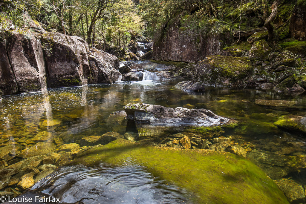 More of our rock hopping territory. It was unbelievably beautiful.
Let me return to this word “impossible”. For whom? Certainly, it would be impossible for most tourist types, or even average walkers. However, one member of our group will be 79 next birthday. In fairness, ‘though, I must hasten to add that this guy is a total legend, and a past climber of excellence who has kept himself fit and agile. I would NOT be planning to take grandad there if I were you!!!! We had a second injury after lunch – just a slide and bump on the rocks that shocked the slipper, and more than probably still hurts; it was a reminder that this was a pretty treacherous area and we needed to take care.

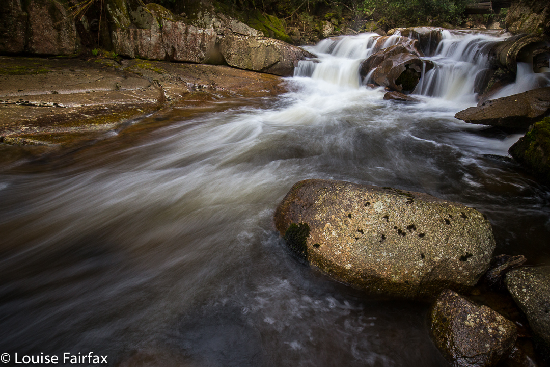
![]() This is one waterfall (unnamed) that we did have to see from above, as we were hurrying to try to get back to our injured extra member, so didn’t have time to try to find a way down here for a “bottom view” … if one is to be had at all. As you can see, the sides are just a little steep.
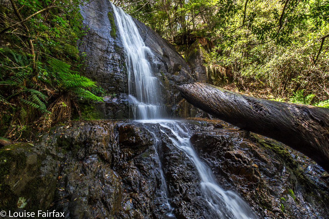
This is one waterfall (unnamed) that we did have to see from above, as we were hurrying to try to get back to our injured extra member, so didn’t have time to try to find a way down here for a “bottom view” … if one is to be had at all. As you can see, the sides are just a little steep.After lunch and many photographs, we continued rock hopping down the river, seeing maybe what has not been seen before … or, if it has, only very, very rarely: gorges and more, unnamed falls of great beauty. Once things got excessively steep and cliffy, we climbed up the steep banks and bushbashed our way back until we met our original track. I loved every minute of this walk.
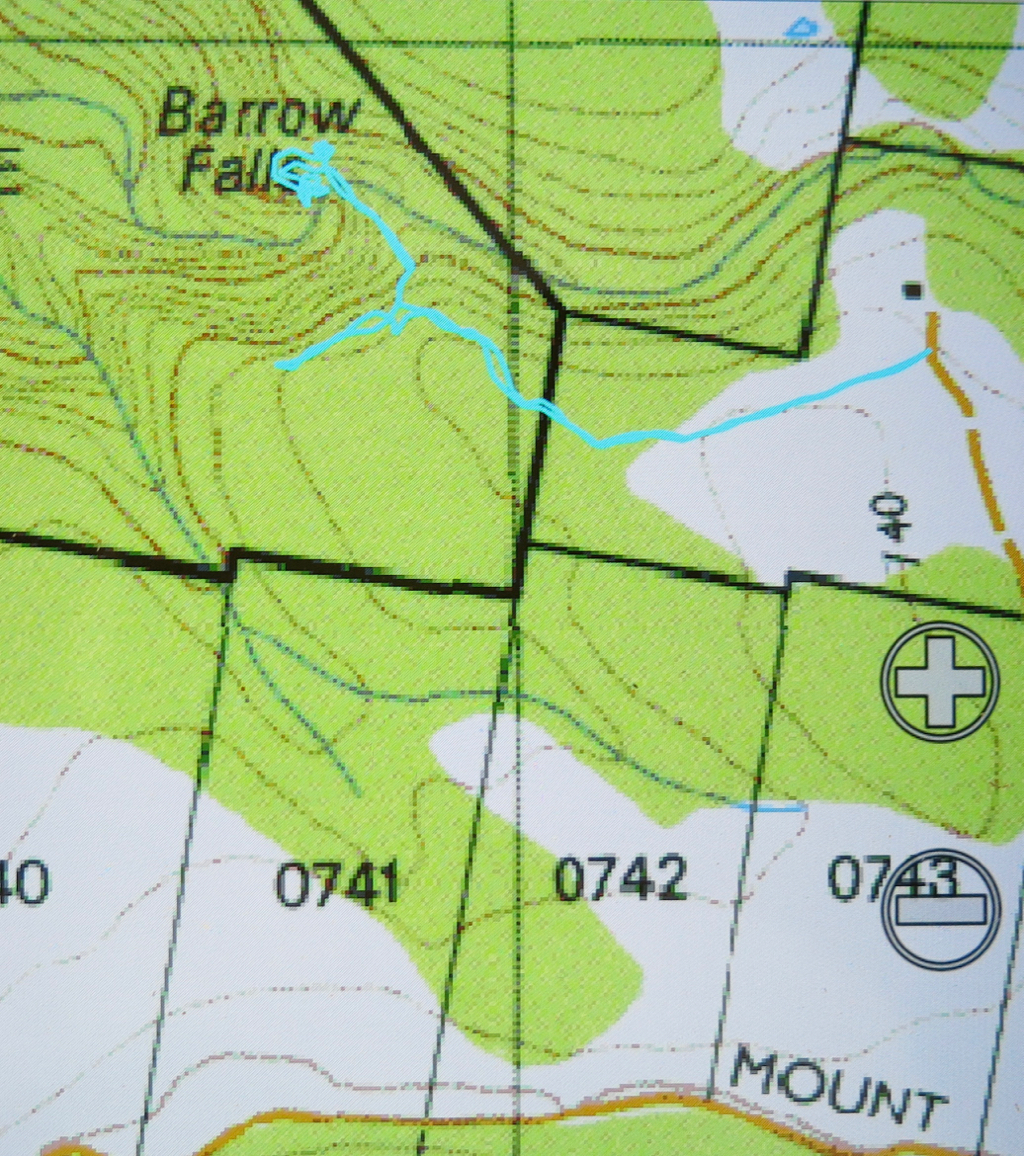
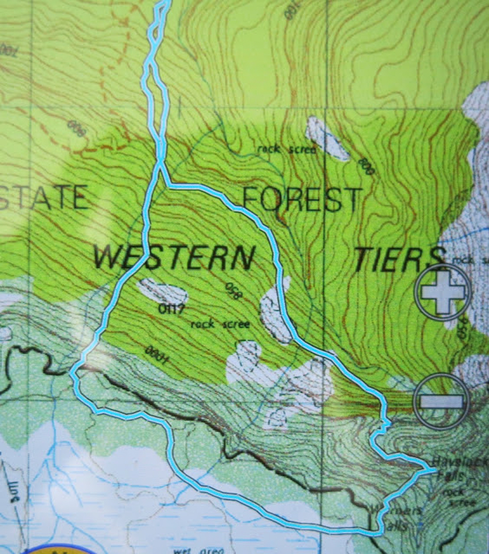
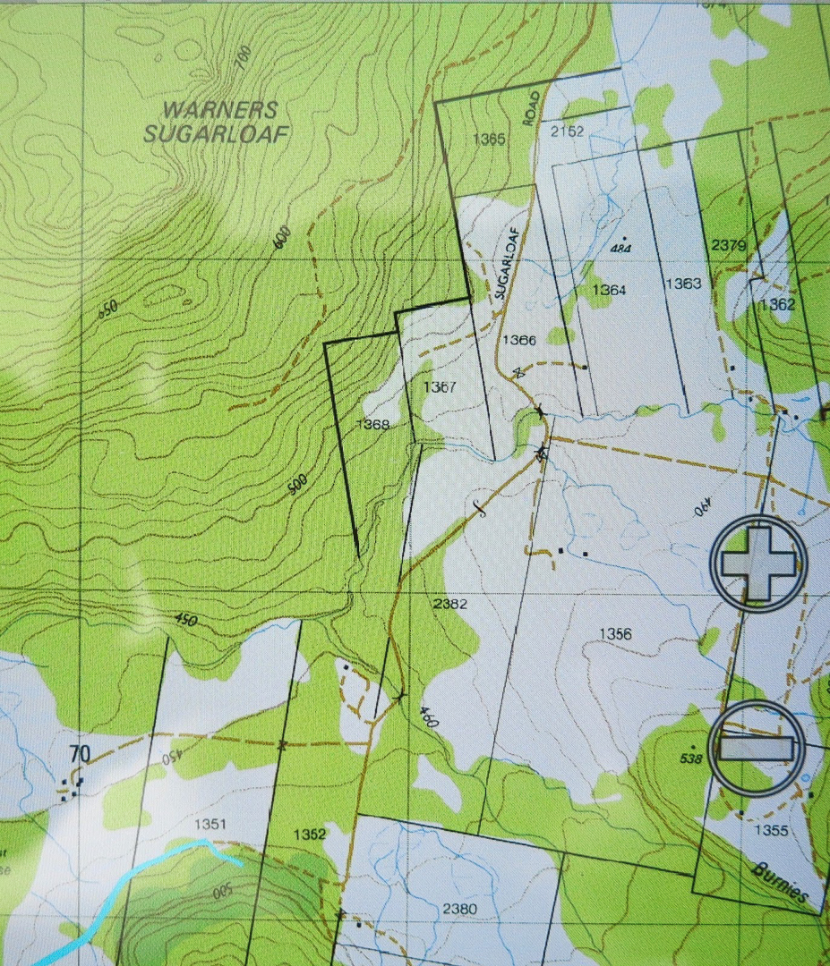
Detail of the ‘business end’ of our route (1:25,000). You will see the circuitous path we had to take downstream of the falls on the route home, following the weavings of the gorge.
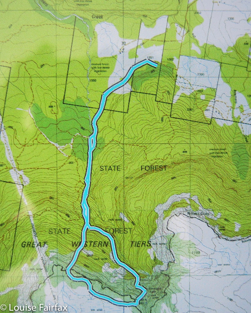
An overview of the whole route
The cyan line begins our walking route. You can see from this map Sugarloaf Rd, and how to therefore get to our start.