Stepped Hills 2015 ii Nov

Stepped Hills 2015 Nov.

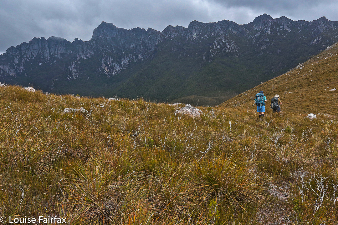
The first hurdle between us and our quest: Mt Wright from down below
I looked ahead at the mossy rock on another rock, and could, for the moment, see no other higher ground. Could this be? Dare I hope? I called to Mark directly behind me (It was my turn to lead):
“Mark, I don’t want to make assumptions, but …”
“I’m making the same assumptions, Louise, but I don’t want to name them, just in case.”
“We’re running out of higher ground possibilities.”

The mossy rock posing as a cairn seemed almost an anticlimax. But there was nothing else on the mountain higher than we were at that moment. This was it. We’d reached another summit.

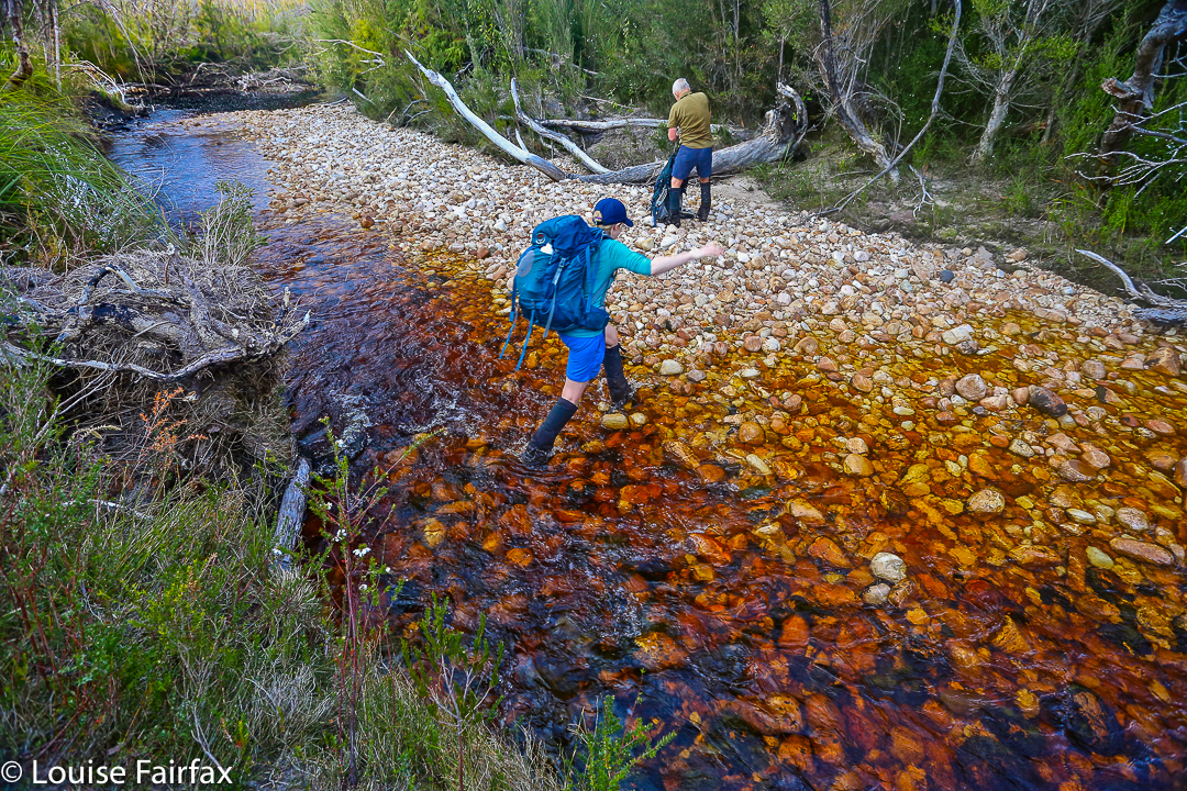
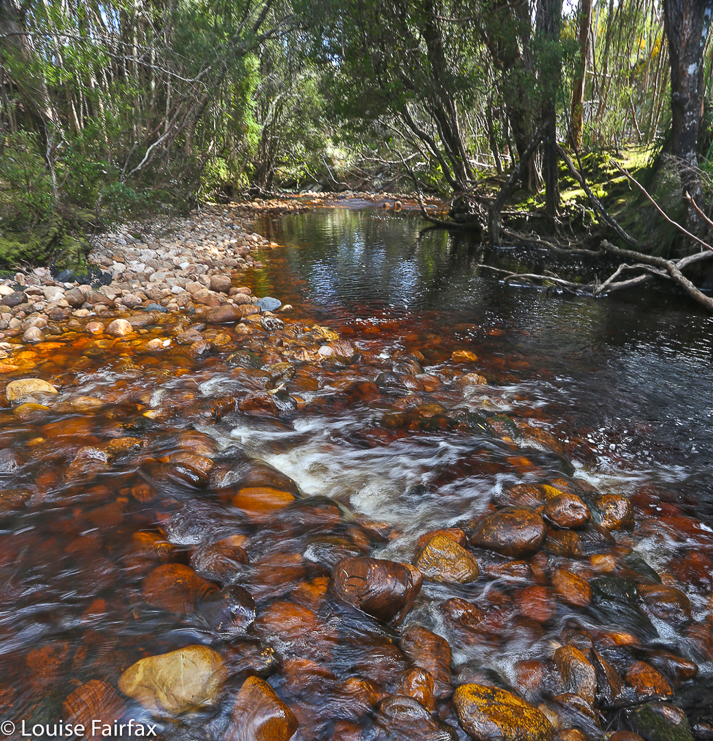
A tranquil patch of the Gordon River

Excitedly, we gave each other a congratulations hug and together ceremoniously touched the rock. It had felt like hard work, involving a double climb as the most popular route to reach Stepped Hills is by summiting Mt Wright along the way and then losing most of your precious height before embarking on the mount of your quest, and also because we’d only just done a massive effort to summit West Portal a few days before. I had only two days at home in between the two – just enough time to get the mud out of my gear for the next venture. A general lack of water possibly also contributed to the perceived effort: there was no running water in between the Gordon River and the stream that flowed at the base of Stepped – these two separated by four hours fifteen minutes walking with packs, and about eight hundred metres’ climbing and dropping; the day was hot and we were sweating quite a bit.

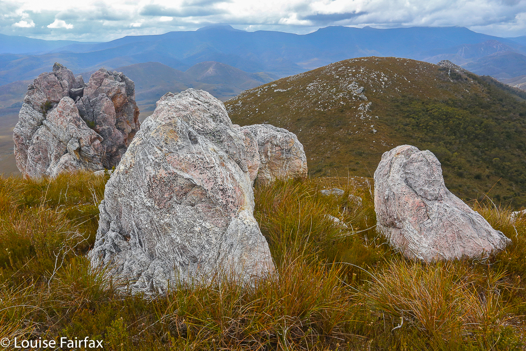
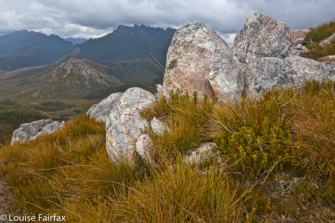
That mossy rectangular rock there is the best this mountain can do for a summit cairn.

Crossing the Gordon River at the start of the day had been quite tricky: the fallen tree that provides a bridge thanks to one of nature’s more generous accidental acts was wet and covered in moss from the winter moisture (it had rained during the night). It was extremely slippery, and we could see marks where someone had tumbled into the fairly deep river below. Scared by this, I rode it like a horse rather than doing my usual careful walk across. It was a long, fat horse, but I managed. Mark crawled.

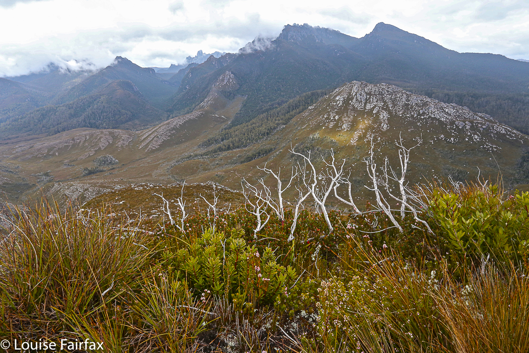
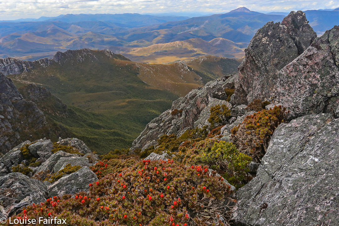
The view from the summit in the other direction, looking over Stepped part Two and beyond to Reeds Peak, Bonds Crag and more. The Spires lie over there: a goal for the near future.
The steep climb with mountain in your face over Wright had gone well, apart from surprise and disappointment that the creek normally flowing at this time of year was dry already. We had full waterbottles, but had hoped to have a good drink there so as not to dip into supplies. The “creek” was just an erosion scar now.

The trip down the other side was, as I remembered it from before, perilous due to the array of moving boulders. These rounded rocks do not stack neatly, and were a mobile kitchen-set under our feet: microwave-, refrigerator- and dishwasher-sized rocks (with a few toasters thrown in) all moved underfoot as we placed weight on them.

Mark with his foot on the summit

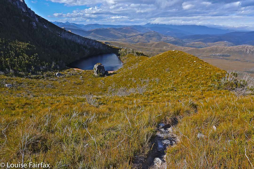
Down and along we went, stopping about half way between the two mountains near a tarn to pitch our tents and have some lunch before we continued. One can drink from the tarn, but Mark had his heart set on running water that lay about a half an hour away, and as I was not good friends with the resident tiger snake that prowls the long grass surrounding the tarn, that suited me well. We had enough water for lunch.

My wonderful room with a view: in this case, of Reeds Peak and Bonds Crag.
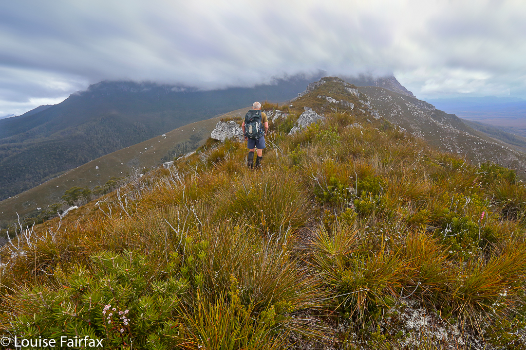
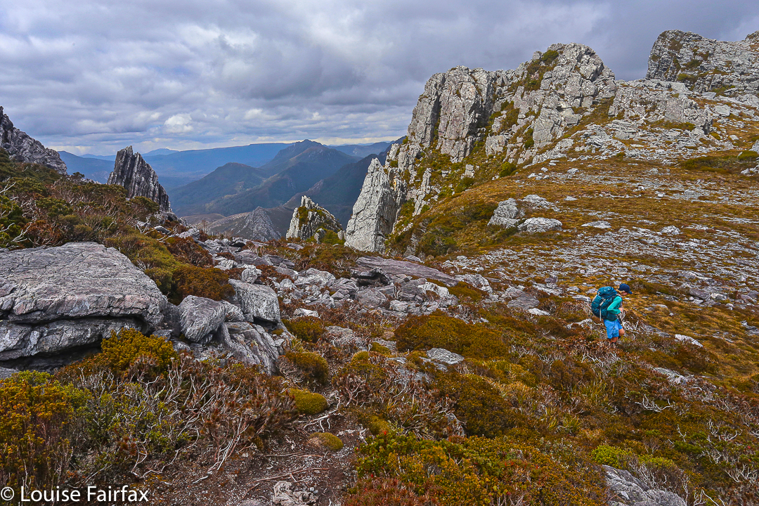
Stepped Hills seemed scrubbier than my memory had it, fondly harbouring as I did the idea of a short-grassed uphill stroll. In reality the “grass” was dense, thigh-high tufts of button grass, accompanied by visiting patches of squat melaleucas. Rocky runs gave faster movement. It was steep and kept on going, but was not as steep as Wright. I was just tired from all I have been doing lately. It was not really Stepped Hills’ fault.

We reached the top by early afternoon and, having nothing better to do with our day than sit outside our tents, we elected to sit on the summit instead, so had a very enjoyable hour up there surveying our momentary and hard-one kingdom, eating snacks and drinking the heavenly water that comes from the stream down the bottom. It was lovely to relax up there.

Mark on the summit of Wright, with ten fingers raised to symbolise the ten Abels left to climb for a full collection of 158.

Day Two’s special moment was scheduled to be (and, indeed, was) lunch at the Possum Shed to celebrate, but before we could do that, we needed to climb back up over Mt Wright, touch its summit cairn, go back through its fascinating arch and negotiate the Gordon River (walking this time; the log had dried). I was near Oatlands on the return drive when the predicted afternoon showers materialised. As usual when this happens, I felt smug for missing a dunking.

Wright’s summit rock and its view to the north.
Track data: We walked 23.33 kms and climbed 1700 ms (this is “only” the absolute climb from peak to peak and does not include all the incidental ups and downs along the way. My gps doesn’t measure them, unfortunately). This yields 40 kilometre equivalents – and it felt like it.

West Portal in Three Days 2015 Oct

“West Portal in three days Mark? You’ve got to be kidding.”
“Oh well, we’ll pack for four, but hope for three. I reckon we can do it.”
I’m glad he was confident. I’d try my best. Let the tale begin …….
Day One.
“We’re here,” I heard Mark say up ahead. Apart from hearing my husband or daughters say “I love you”, these felt like some of the best words I have ever heard in my life. Electric shock tingles were coursing across my left shoulder from the weight of my pack; the ball of my right foot felt bruised; my socks had bunched up at the front of both my boots causing discomfort; my hips felt very tender and I was, quite frankly, tired.
We’d walked 27.4 muddy kilometres in 8 hrs 52 mins, within a total ten hour timespan. That’s a lot of work and not much rest; but at last Mark’s words meant it was over for the day. It was still nice and light. It actually hurt to remove my pack from my aching shoulders, I was so stiff. Like wooden dolls we tottered down to the Cracroft River at the crossing where we were camped to admire its beauty and collect water for the next few meals. It was time to relax.

West Portal trip Day 2. Crossing Strike Ck

I pitched my tent, slowly, partly because I could barely move, and partly to try to accustom myself to its little ways (it’s relatively new), before joining the other two for soup. Oddly enough, at a mere 8.15 pm I thought the idea of turning in for sleep was exceptionally appealing. You don’t often find me in bed at that hour. I impressed the other two with the size of the two large pink swollen lumps I had – one for each hip bone – before I disappeared. Sleep would be like a divine ambrosia.

Day Two.
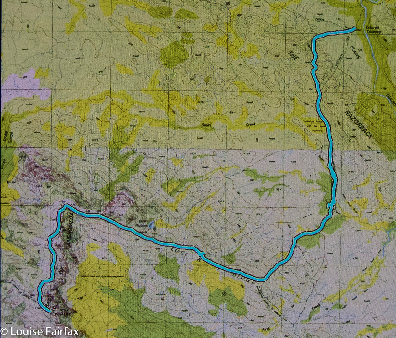
This was to be the day on which we attempted the summit. I wasn’t confident of my own ability to do this, but it made me feel better to hear the other two say they were tired too. At least we’d be in a similar situation. However each of us felt as individuals, we were there to give this our best shot. I set small goals: it would be great to see Lake Rosanne; marvellous to reach the high point on Lucifer Ridge; amazing to walk across the Crags of Andromeda; and, well, let’s not get disappointed by thinking about that far-off, hideously high summit, buried in the clouds right now. One step at a time.

Lucifer Ridge is gained

We still had another hour and a half along the flats before we began our climb proper. Over the Razorback Range we went, dropping into the squelching, muddy Arthur Plains, which we followed until beyond Strike Creek. We took the hypotenuse shortly after crossing it, heading up to the first high bump on the Lucifer Ridge, which jeered at us from above, as its namesake would also no doubt do. The gradient was so steep that the land was almost in our faces. We pulled on tufts of grass to yank ourselves up. Once my body started screaming, I led us on a kind of slaloming zigzag to lessen the severity a bit.

Lucifer Ridge view

With relief we crested a mini bump on the way to the one we wanted – some rocky wart – and took a two-minute breather before continuing on to meet the point where the vague pad from the longer ridge rose up to meet us. Every down was resented as it meant a loss of hard-earned altitude; every up endured with pain until we gave ourselves another tiny break to enjoy the view. We couldn’t rest for long, however, as our goal, although getting easier to see, was still a long way off. However, when the delightful Lake Rosanne appeared below us, we had to stop and admire her. We had a drink and muesli bar and took a time split at this point, as a pad came in on our right, coming to us from the lake. We’d done nearly two hours’ climbing since leaving Strike Ck.

On Lucifer Ridge

For yet another hour we climbed steadily (except when the wretched pad dropped to get around cliff lines) and steeply. We were nearly at the top, but we found a puddle of water, and I was starving, so we called another break and had a drink and snack before continuing. I stole some savoury food from my lunch rations, as muesli bars were not doing it for me. All of a sudden I had energy again. Let’s go!

West Portal from Lucifer Ridge. Oh dear. It still looks a long way away and we have already been working for hours.

We “topped out” a mere eight minutes later, entering delightful “sound of music country”: a wide, open ridge with short grass and expansive vistas in all directions. We could see the Western and Eastern Arthurs, the Mt Anne Range, Lake Pedder, Mt Picton and more. It felt like we could see everything. I dropped momentarily behind to take a few photos and hastened to catch up. Today was about the summit, not about photography, and too much of the latter could scupper our chances of the former.

Topping out at the Crags of Andromeda

On we hastened – if rushing snails can ‘hasten’ – for another hour and a half (nearly), travelling over the Crags of Andromeda and via the first, false summit (excitedly assuming it was “the one” until we saw the challenger to the throne a bit further on) to that glorious cairn that was ours. At some point in there as I traversed the Crags, chasing the others as I’d been indulging in a little more photography, I realised we were actually going to make it. A tear trickled down my cheek, I was so overwhelmed. The only other two mountains I’ve cried on have been Ossa because the view was so beautiful at sunset, and Mont Blanc, which I’d circumambulated, because I was – and still am – madly in love with her huge white magnificence, and I was grieved to leave her.

That’s her, the summit of West Portal: the highest thing you can see ahead. At last we’re closing in – but there’s an impassable gulch between summit B that we’ve just visited and the one we want. We need to go down to get up.

This mountain here has a special aura for me, and I had not conceived of success. People who have climbed her have always seemed to me to be “real” bush people: accomplished traversers of the challenging Tasmanian wilderness, and mostly (but not always) males. I couldn’t believe that I was going to stand on such a summit. I know there are much harder mountains to climb that lie in wait for me (they seem to me right now to be impossible), and I am not trying to claim anything for myself here; I am just saying the effect this particular icon had on me.

West Portal Summit. Richea scoparia enjoys some of the best views scoparia can have anywhere.

We ate our lunch on top, oggling at the wonderful view in every direction around us. This is the highest peak in the Western Arthurs, and it commands a vista commensurate with its title. I particularly loved the rugged Crags of Andromeda with their dramatic weathering patterns; of course, we delighted in the cornucopia of peaks with jagged edges bespeaking nature’s infinite power and fury. It had taken us 6 hours (and four minutes) to summit. We’d now relaxed on top whilst eating. Mathematics said it was time to turn our heads concertedly for home.

Lake Rosanne seen from the way down

Luckily, we descended more quickly than we had climbed, having ironed out a few of the glitches in our approach. Angela had brought her jetboil, so once the pressure was off – near Razorback saddle – we all had a cup of soup to fortify us for the last leg home. We arrived at the tents as darkness fell. Any later and we would have needed those headlamps we’d been carrying all day. The climb had taken us a total of 11 hours 40 mins’ walking plus food breaks added on. We’d covered 27 kms again, only this day we’d also climbed 1,000 ms (= 37 km equivalents) in tough terrain. Three exceptionally satisfied friends sat in a circle cooking and eating dinner. We were not looking forward to the long day on the morrow, but we all had four days’ gear with us, so if we couldn’t manage, it didn’t matter; we’d just camp at one of the many creeks along our 27.4 km path.
Day Three.

Cracroft Crossing campsite on the morning of day three. A nice misty day to begin with, but it became clear and hot later.

We didn’t need the extra day. We took fifteen minutes more walking time to reach the car on the rebound, and our breaks were longer, mostly to please me. My shoulders would not have gone the distance otherwise. We cooked soup to make lunch more interesting and relaxing, and had a cup of tea before the final long leg from Junction Creek to the car. I even went wading. It was wonderful sitting beside amber creeks in green groves with the friends with whom I’d just shared so much, soaking in the bush with the satisfaction of having achieved our goal. This is the life.

Seven Mile Creek, a refreshing food stop place

The route. Overall,  we covered 91.8 km equivalents, in three very tough days.

Parson and Clerk 2015 Oct

This is typical of the scenery we walked through – here, glorious cushion plants.

We giggled as we jaunted along. This was funny. We were supposedly climbing a mountain (Parson and Clerk) – one that one friend had failed to reach, and others had taken a very long time and over double our height gain to summit (hating the hakea spikes while they did so) – but here we were on flat, open, prickle-free land, having a pleasant Sunday stroll (well, Saturday, actually), yet steadily progressing towards our goal. Whilst the Abels book has you moiling up countless contours, our route would involve a mere 261 metres “climb” between the car and the summit, and a tidy 2 hrs 20 in each direction. Lest you think I’m bragging originality for this route, it is now time to give credit to “north-north-west” from the bushwalking forum, who suggested it to me. Brilliant, thanks.

summit cairn

 The only scrub we had to negotiate was in the final hour of ascent, and really, as far as scrub goes, it was not too bad. It was possible to connect boulder lines that avoided most of it.

Angela at the summit

The only negative factor was the view from the top, which was about as enormous as the climb had been. My husband was not having a good day, so we had left him at the top of the first rise, giving him time to rest while we finished the mountain off, and he had enjoyed a much better view from there than we had from the peak. Angela and I agreed we’d rather be down in the south west, but you can’t be there every weekend. That said, it’s good to experience all the different mountains that Tasmania has to offer – that’s precisely why we keep enjoying this fantastic smorgasbord of possible mountains rather than climbing some favourite one every single weekend. Variety is the spice, as the old saying acknowledges.

Bruce and Angela returning from the mountain whose lower slopes are there behind them

 As with a food smorgasbord, you taste everything once (well, I do) and return for seconds of the dishes that most pleased you. This is what I propose to do with mountains: try each one once, and then spend my remaining mountain life returning over and again to my favourites (I have already, of course, begun on the second half of that programme whilst undertaking the first).

One of two cute fishing sheds that lie along the way

We won’t bother re-climbing that summit, but I think you may well find us camping one day near one of the two little huts in the plains. There was a lovely sense of space and peace out there.

Sorry, this screen shot has not turned out at all well. This at least gives you the general direction – head SSW and then SE, following jeep tracks from where the Gunns Marsh Rd ends at the boom gate, under the huge transmission lines. 

Snowy North 2015 Oct

Myrtle forest

A mountain may well stand as an objective piece of reality, but our relationship to a mountain is a very subjective thing. Unfortunately I was not feeling well yesterday when I climbed Mt Snowy North, and this feeling has coloured my experience of the mountain. I try to look at it dispassionately, but the dulled mood brought about by a less than healthy body somehow infuses every impression.

One of the many grand old gents of the forest complete with a stick that many people have seen the need to tape for some reason better known to them than to me.

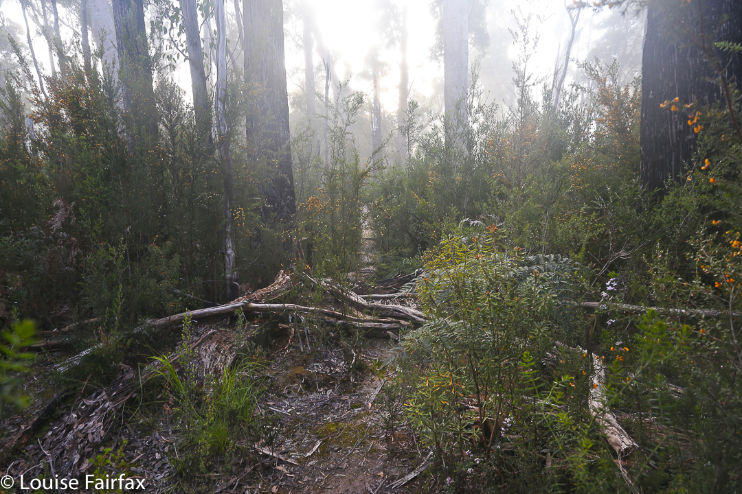
Attempting to view it without my nausea, what do I see? I see magnificent myrtle forest in the lower reaches through which we climbed, not abruptly, to a point where we actually descended for a tiny bit in order to traverse for over a kilometre. I was thrilled to have the chance to remain in the forest longer that this traverse enabled. When looking at the route we were following, provided for me by my friend Murph who had taped it afresh not so very long ago,  I had feared this traverse would be in the scrub band, so was pleasantly surprised. In this section there were some very grand old myrtles with huge bellies, ancient drunkards, bulging. Everything was covered in moss; lush green was the dominant colour. At the end of the traverse, it was, of course, time to climb again. At this point, we noticed a ribboned trail going steeply downhill to our right – the other route up the mountain that is shorter (more direct) and steeper than our route. As I love myrtle forest, I was glad to have spent more time in it than that other route would have allowed.

 Up we climbed, out of the glorious green into the expected protective band of bauera and scoparia and other prickly bushes – a band that fiercely guards most mountains for about a hundred vertical metres. The pad  continued, although it was tricky to locate in places, as the bushes crowded over the track to hide it. As one friend wryly noted, this was nothing a good dose of napalm couldn’t fix. The gradient was such that you actually had to grab these thorns to pull yourself up. It felt like about eighty degrees, but it was probably only sixty. The contours were very crowded on the map in this section (of course). Grabbing the thorns was a real treat. Anyway, all parties eventually finish, and this one did too. We crested the rise, chose a spot that gave us a little shelter from the blast that greeted us in the open spaces above, and enjoyed a quick lunch in the light rain and mist. Views were not on offer.

The summit was still over a kilometre away (33 minutes from where we were), and this was, luckily, enough time to allow a few of the more energetic of the surrounding clouds to move away and give us a rather attenuated view. We could see that mountains were around us, but they were rather blurry and smudgy. I had the feeling that, even on a good day, we were not exactly enough in the centre of action on this mountain to get superb views anyway. Perhaps I’m just jaded.

David admires what there is of a view near the summit

The trip up having been quite steep, the trip down was good and fast. I got good practice in reuniting myself with my orangutang past, swinging gaily from limb to limb as I descended. Several of the party had rather filthy derrières, having chosen a different method of descent.

Our walking route from the cairn to the top

Should you want to do this trip in a hurry, I can report that, thanks to the efforts of our group, the road to the start is now clear of all the many fallen trees that blocked it until yesterday. Thanks to bushwalkers, our forest roads are remaining kind of open. Below is a map of the route we drove in past Maydena to get to the start. We parked at the locked gate on the map (so, a bit further than the line below would imply), and then walked no more than 300ms to the cairn that marks the start of the taped route in. Tapes in the first few hundred metres are not frequently placed. There are some triangular bits of orange plastic early on.

The road route in from just past Maydena, where you turn right to go left under the main road, which is the dark line running roughly east-west.

Goulds Sugarloaf, Little Sugarloaf, Coal Hill, Cuvier and Byron 2015 Oct

Gould Sugarloaf expedition. 2015 Oct

My little orange tent, with Mt Manfred, the Guardians and Mt Gould (inter alia) in the background
I don’t think Goulds Sugarloaf is supposed to be an epic. I had thought of it as a rather easy catch … but that’s before I encountered the bands of scoparia that fortify the boundaries of Mt Cuvier – or of Coal Hill and the lower reaches of Little Sugarloaf, for that matter.
The forest around Byron’s belly

These prickly soldiers are well armed, and not to be underestimated. My poor shorts-wearing friends are now battle scarred. I’m merely exhausted from all that pushing and shoving, bullying and poking that Richea scoparia is prone to necessitate.

Mark and Angela climb the final rise on to Cuvier shelf.

That said, the magnificence of the Mt Cuvier shelf, the fun of snow climbing and the views from all five summits compensated in full.

Mt Byron at dawn on day 2.

Day 1 was a rush. I’d walked this same stretch in December with LWC when we climbed Tramontane (see that blog entry for details), taking the 9 a.m. ferry and pitching tents as the sun sank at the terminus of a near summer-solstice day. This time there was no 9 a.m. ferry, so we had to settle for a midday departure, and the sun sets at around 6 p.m. at this time of year. We needed to match the LWC walking splits and take far fewer breaks than they took to get in before dark. We managed the five hours of heavy bush bashing spread over six and a quarter (hours), which included our lunch break, but that meant we only just made it before nightfall, cresting the final pinch that took us to the shelf as the sky turned pink and the mountains indigo. The white snow blotches shone like beacons; Byron glowed red, reflecting the dying embers of a glorious day as the sun sank below the jagged horizon.

Looking towards Mt Cuvier from my tent spot early next morning

We had mirrored the route of the Tramontane track, except that wicked Sirens tempted us to climb northwards rather than remaining due west for an appropriate length of time, landing us in a sea of thick junk. Now at the top at last, we pitched our tents on the edge of the shelf with a million-dollar view, and gazed at eternity while boiling our billies for dinner. The wind whipped up, and we were pretty tired, so we all retired early.

Cuvier a little later (but not much).

Day 2. After enjoying a magnificent sunrise and a relaxed breakfast – prelude to a day of very hard work – we packed our daypacks and were off, choosing to circumvent Cuvier on the way out and trust our luck at getting through the rather nasty scrub. It was alright, probably thanks to the fact that, being a wuss, I headed us for every single line of snow between camp and our destination: the ridge that comes down off Cuvier heading towards Coal Hill. “You love the snow,” commented Mark, as I headed us straight for another band. Now come on; the alternative was our friend Richy (richea scoparia for non Taswegians – a very prickly bush that hurts and destroys expensive clothing in a single kiss, as well. This poses a great dilemma when it’s raining and your goretex jacket cost you $450).

Mark on a band of snow. You can see the ridge we’re aiming for ahead: where the two rocky knolls are.

It took us just short of an hour to be at the base extension of this ridge we’d been heading for, and we gazed with a little dismay over a flat section that looked far from inviting. We all imagined some pretty serious bush ahead. Angela voted to go under cover of the trees a little to the left; I voted to swing back further right for the forest there; Mark voted to go straight ahead through the open flats and get it over and done with. We generously handed him the lead, promising that he would never hear the end of our mocking mirth if he got it wrong. Luckily for his prevailing sanity, he got it perfectly right, and led us through the muck speedily and efficiently, and soon enough we were drinking from a little tarn at the far end. Absurdly, I was already desperate for lunch, but it wasn’t yet even morning tea time. I stole a quick bite of lunch anyway.

Skirting a rocky knoll, still on Cuvier.

Off we set up the last slope between us and the first of our mountains for the day: Coal Hill. The forest had no wicked reputation that we knew of, and we sanguinely assessed its difficulty as minimal, believing we’d be celebrating the first summit in a very short space of time. Ha. Fooled. Almost imprisoned in a life sentence of immobilising junk, we made scant progress to penetrate our way out to the other side. It was a tough battle, but we fought well and eventually won. At last we could claim our first peak, and could see our goal for the day drawing nearer. The land that lay between looked completely benign. You can see it in the photo below – walk in the park stuff. Tricked again.

Angela eagerly arriving at the first summit: Coal Hill. Goulds Sugarloaf and Little Sugarloaf are on the horizon back right.

Someone forgot to mention the band of scoparia that separates Coal Hill from Little Sugarloaf. However, with our carrot literally dancing before our eyes, we determinedly pushed through obstacles, winning all small skirmishes, and were soon enjoying a marvellous snow climb, harbinger to the summit of mountain number two: Little Sugarloaf. And in less than half an hour from that, we were victoriously standing on top of our goal for the day: Goulds Sugarloaf. It wasn’t yet lunchtime, but I was positively ravenous, and it was only the thought of lunch on top that had given me momentum for the final climb. I began stuffing my face long before I bothered touching the summit cairn. It was amazingly peaceful sitting up there gazing out at the cornucopia of mountains all around, each one blotched with remnants of snow to enhance its beauty. The only marring factor was that we had taken 3.5 hours to get there, and could count on at least that many hours of hard bush fighting for our return. I scanned the horizon for a friendly helicopter but, with none materialising, off we set stoically to undo the distance we had done.
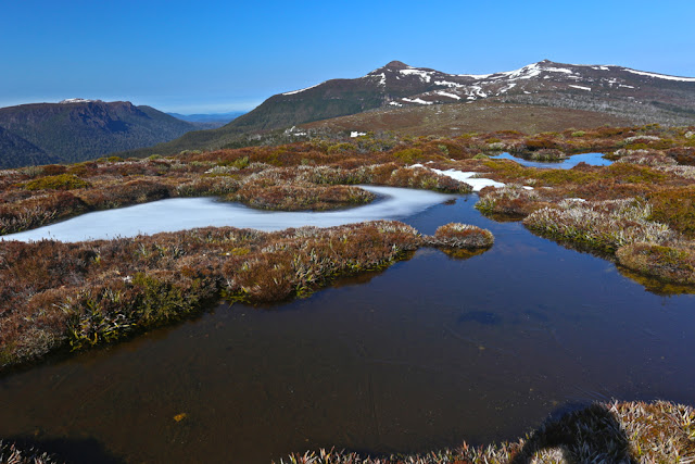
Icy tarns and pleasant walking in this (small) section of the route.

We managed to find more horrid prickles and walls of fierce scrub on the way home somehow. Timewise, this was compensated for by some very fast snow slides, especially off Little Sugarloaf. I had fun kind of ski-skating down in giant strides. Angela adopted the enjoyable method of a bum slide, leaving smooth marks in the snow as if a wombat had tumbled down the slope. Mark opted for a more conservative method of descent. All methods worked well. Our faces glowed with pleasure as we looked at the three sets of tracks in the snow that we had left behind.

A moat protecting Little Sugarloaf
Once we got back as far as the base of Cuvier, even though we suspected it would take longer, we decided in favour of climbing over the mountain on rocks rather than going around though the bush. Besides, Angela hadn’t yet summitted Cuvier. Unfortunately, however, it was on the approach to this mountain that she decided to do a spot of research for a book she has in the pipelines: Mountains to Spew on. Bound to be a best seller. She has quite an interesting collection of mountains in her portfolio thus far, her migraines helping to provide occasion for her data.
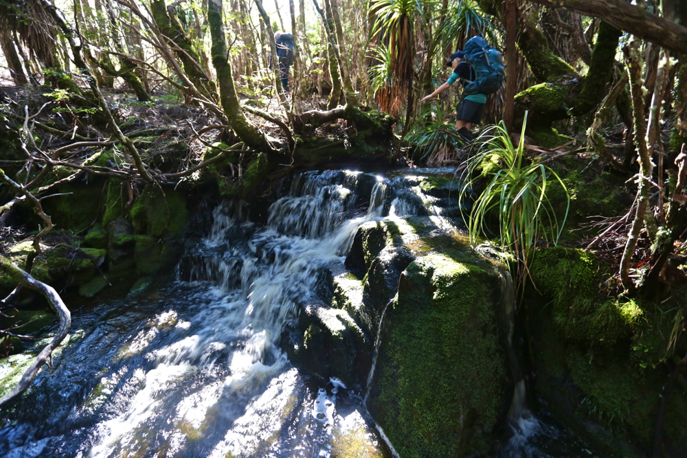
Stunningly, despite her research schedule, she pushed on valiantly to the top, never slowing her pace. I can’t begin to imagine walking with a migraine. She is an incredibly brave person. While I was noting my extreme hunger, she had lost all her calories from lunch, yet was still walking well. This is beyond my capabilities, such as they are. I swallowed some more honey and nut bar to help her along vicariously.

Snow on Little Sugarloaf

Mark rearranges the summit cairn on Goulds Sugarloaf before taking a break to snack.

Mark nearing the top of Cuvier.

Cuvier summit. Mountain number four for the day. It’s all downhill from here.

The slopes of Cuvier. This is what I call fun.

This time we arrived back at the tents in plenty of time to relax before dark. Unfortunately, the strong and biting wind that had arrived as the day wore on drove us into our own little tentspace. I reclined in my wonderful shelter, propped up from behind by my rucksack, my vestibule “awning” up, and stared out through my feet at the sublimity stretched before me, slaking my appetite with soup, and then hanging in there until legitimate dinner time (6pm).

Dawn next day
Day 3. If scoparia bands don’t count as events, then day 3 was uneventful. We managed to find faster routes through the scrub than on day one, so arrived in good time at the base of Byron. This time, as with Cuvier, we voted for “up and over”. It was very, very steep going up – at times it felt like vertical – but I personally find this far more relaxing and enjoyable than fighting bush.

All you had to do was grab roots or trunks and haul yourself up, rising with each pull  through glorious rainforest. Climbing is fun. Soon we were at the rocks which marked the base of the final palisade of Byron. We dumped our packs once we’d intersected with the cairned route that approaches Byron from the Gap and we were at the top in a mere eight minutes.

Byron at dawn


Manfred, dawn on day 3.

Angela and Mark set out, day 3.


Hoorah. Angela leaps to summit number five of our route: Mt Byron. GSL, LSL, Coal Hill and Cuvier are in the distance behind her.
We munched on muesli bars to savour our view for longer, and then went on our way, eager to be back at Narcissus to ensure our place on the boat. We arrived with an hour to spare, having dined on Byron Gap once we’d rejoined a real track. How very relaxing. And now, at Narcissus, our work was done. We slumped on the verandah of the hut, staring at the creek through the gum trees for a while, and then sauntered down to the jetty to stare at the lake and chat to a happy group of OT walkers whilst listening for the sound of an approaching motor. Peace. Contentment. Pleasant exhaustion.