St Valentines Peak 2015 Apr

Sun rises behind St Valentines Peak as I drive up from the south, having spent the night at Guildford.
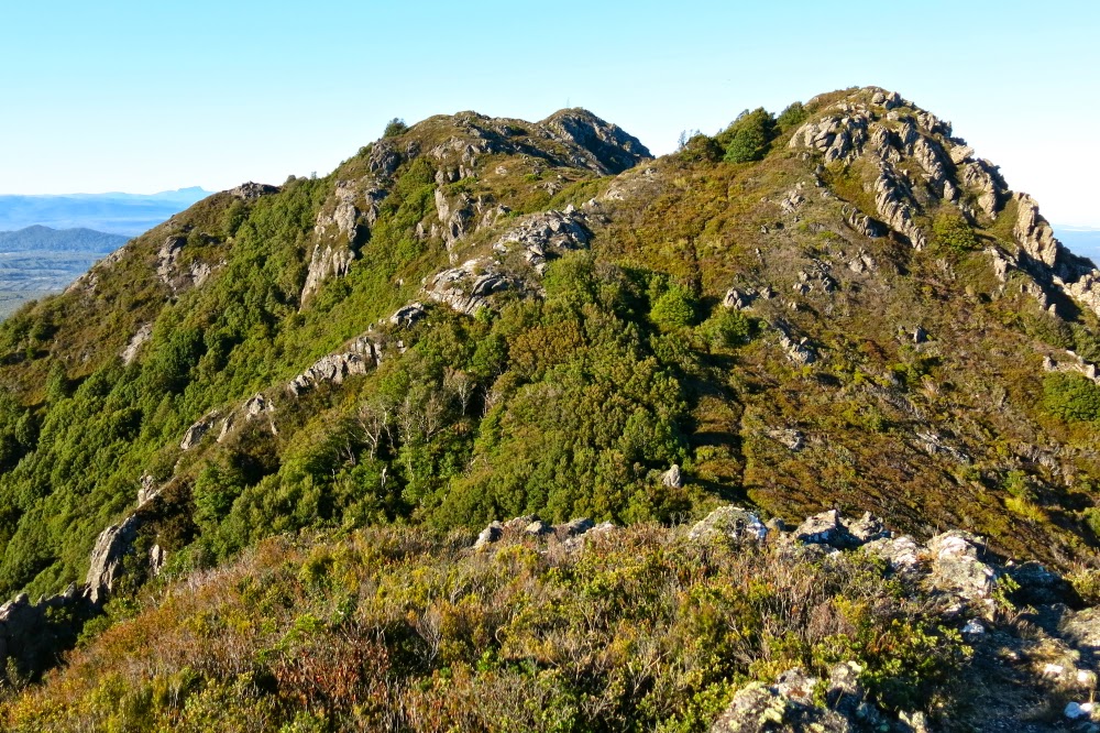
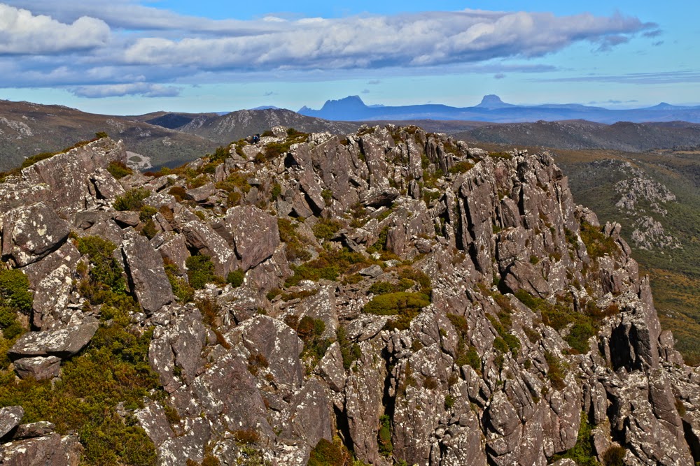
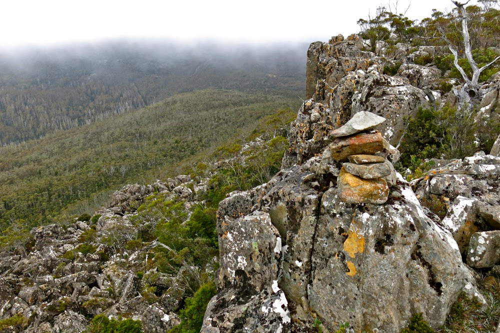
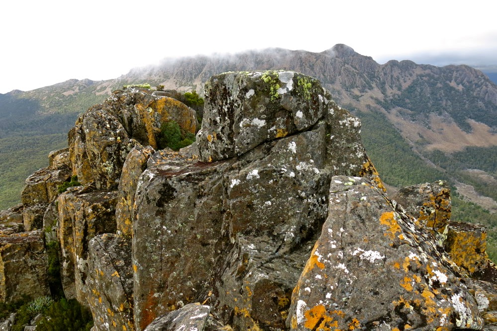
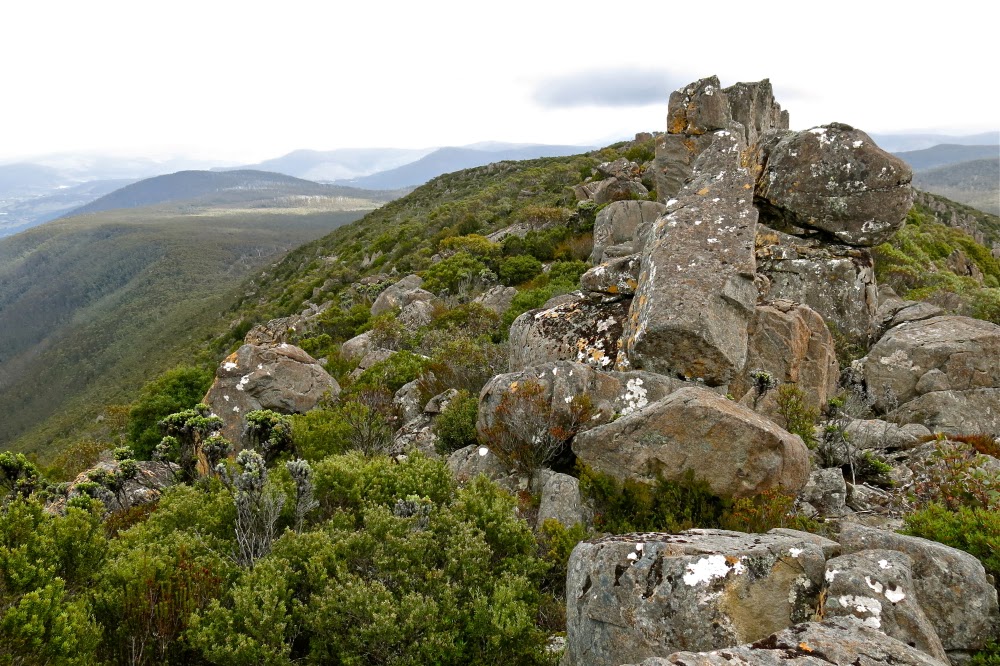
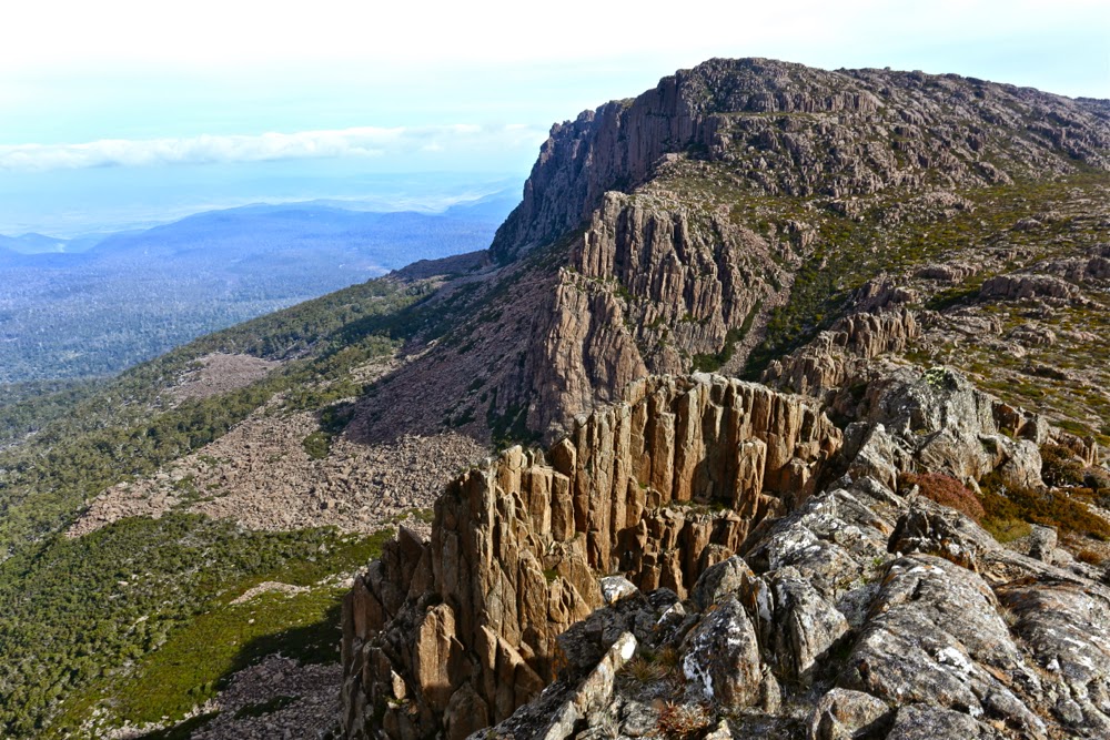
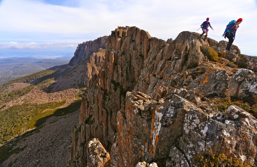
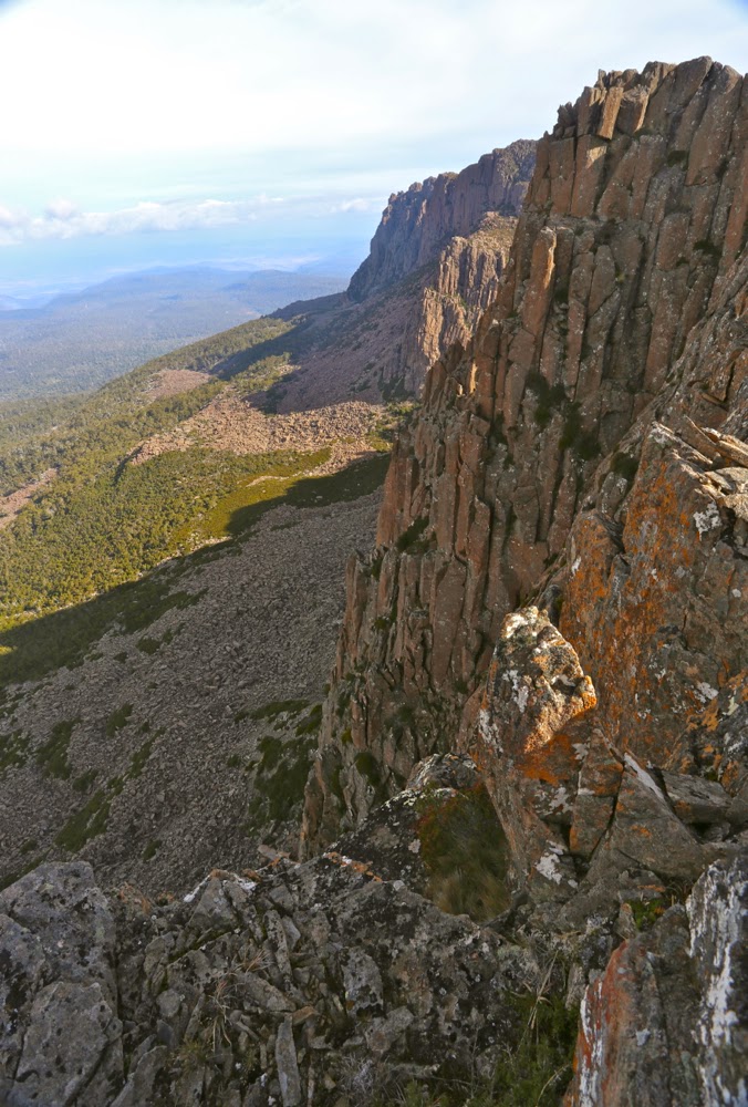
As I expected, the thrills that St Valentines Peak had to offer me were the fun of the climb and the beauty of the rainforest rather than the view from the top – but that’s a personal thing. I’m just not a lover of a vast vista over a huge flattish area. I like looking out at other mountains. That said, the dragon-spine ridge line at the top was great fun.

Looking at the bumps on the ridgeline
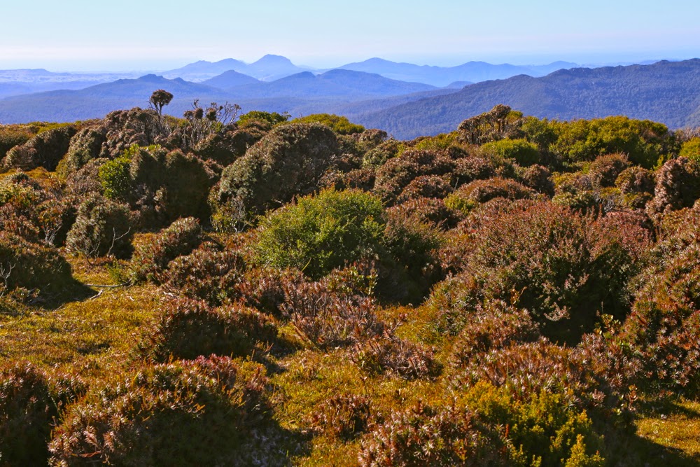
I had toyed with the idea of doing the Abels Vol 1 route, but decided against it as the path might be faint after so many years of not being used during Gunns’ reign. I thus opted for the longer Vol 2 route that would definitely be there. I liked it, as I was surprised by how much of the total journey was through wonderful rainforest. I had expected large tracts of uninteresting scrub. The myrtle forest with mossy logs and fungi in abundance kept me company for most of the way. In fact, of the nearly an hour it took to summit the first high bump on the ridge, only six minutes were not in rainforest.
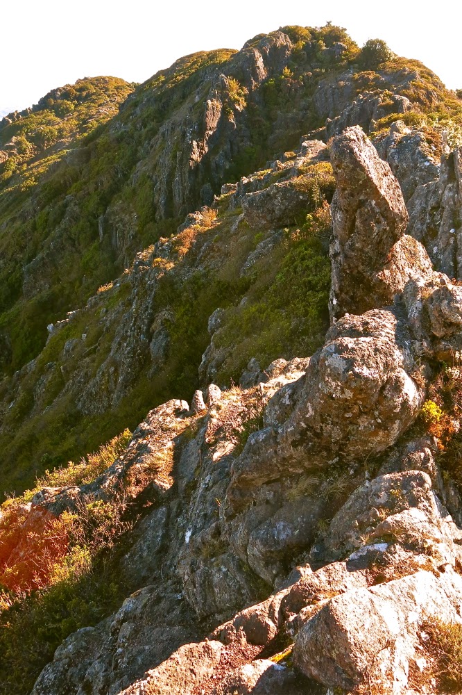
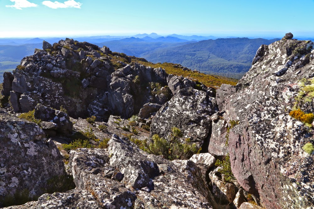
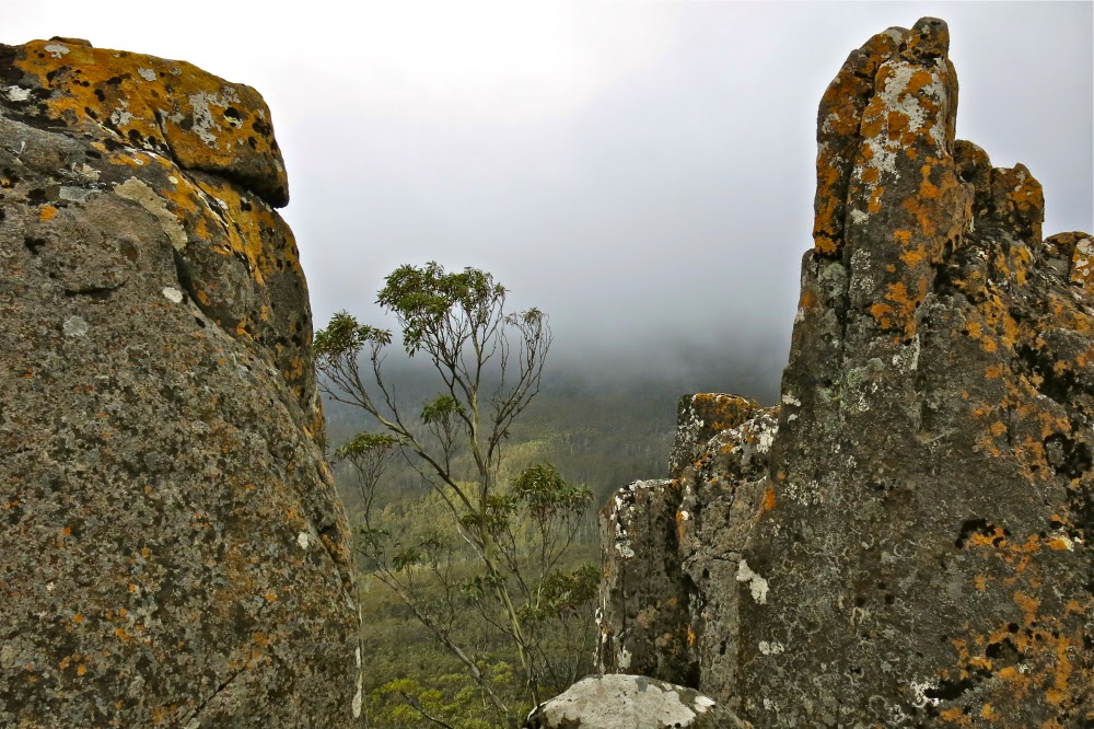
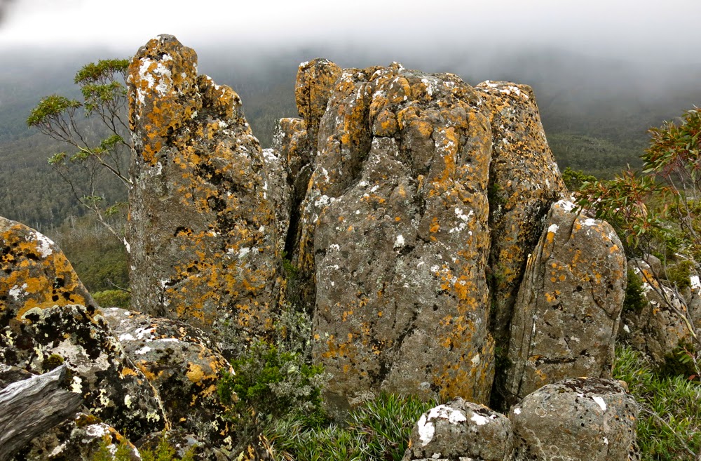
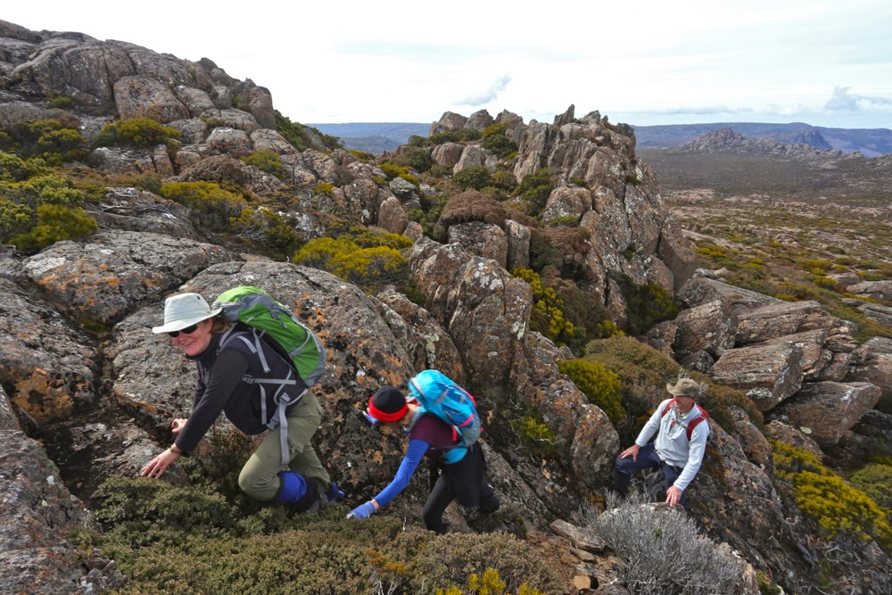
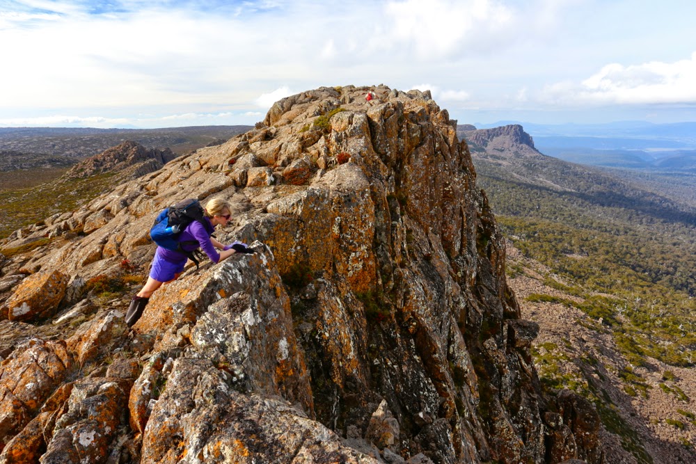
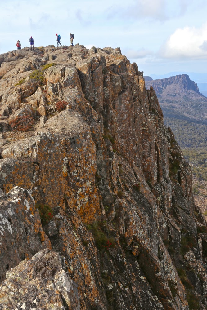
Fun on the ridge

Once up, I lingered and dawdled my way along the ridge, enjoying being on a narrow band like that. The shapes and textures of the rocks entertained me far more than the hazy views out below (hazy despite its being really quite early. I was disappointed).

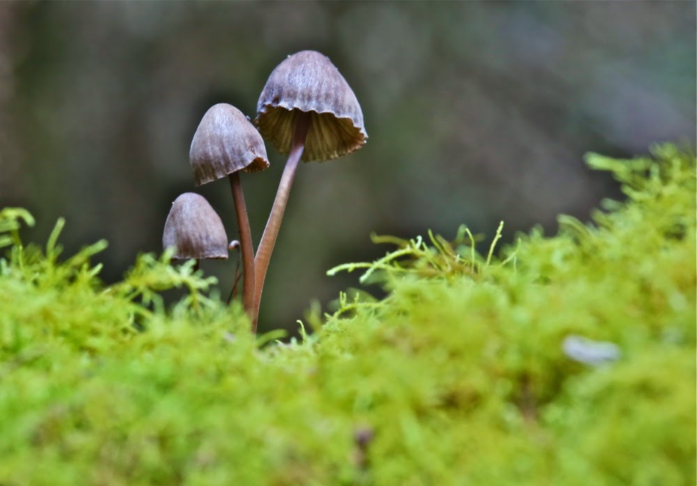
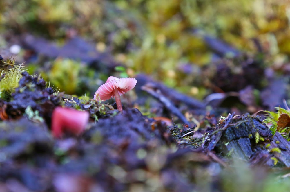
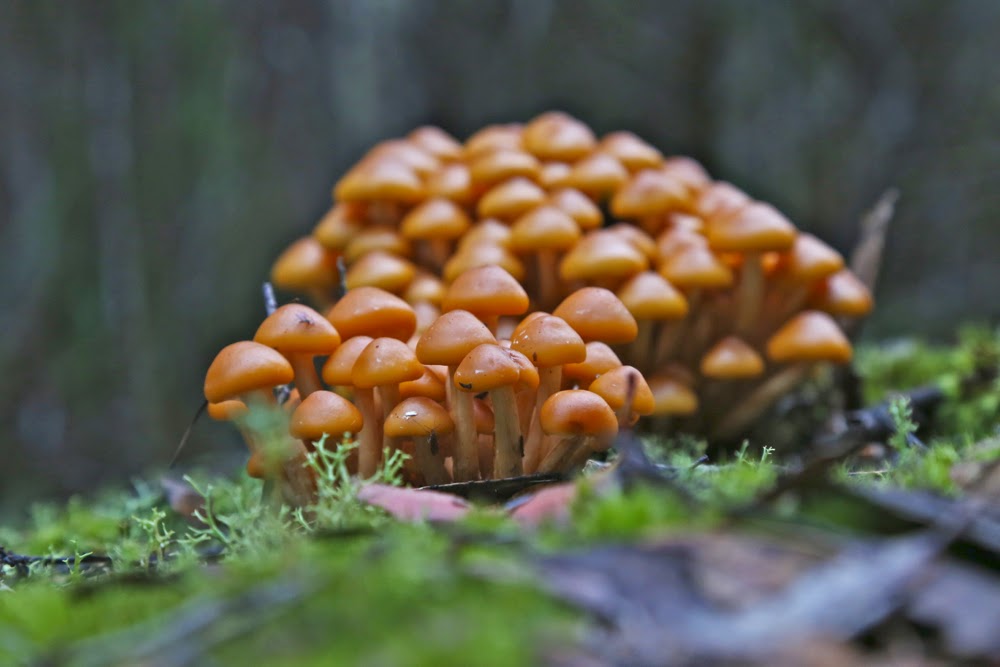
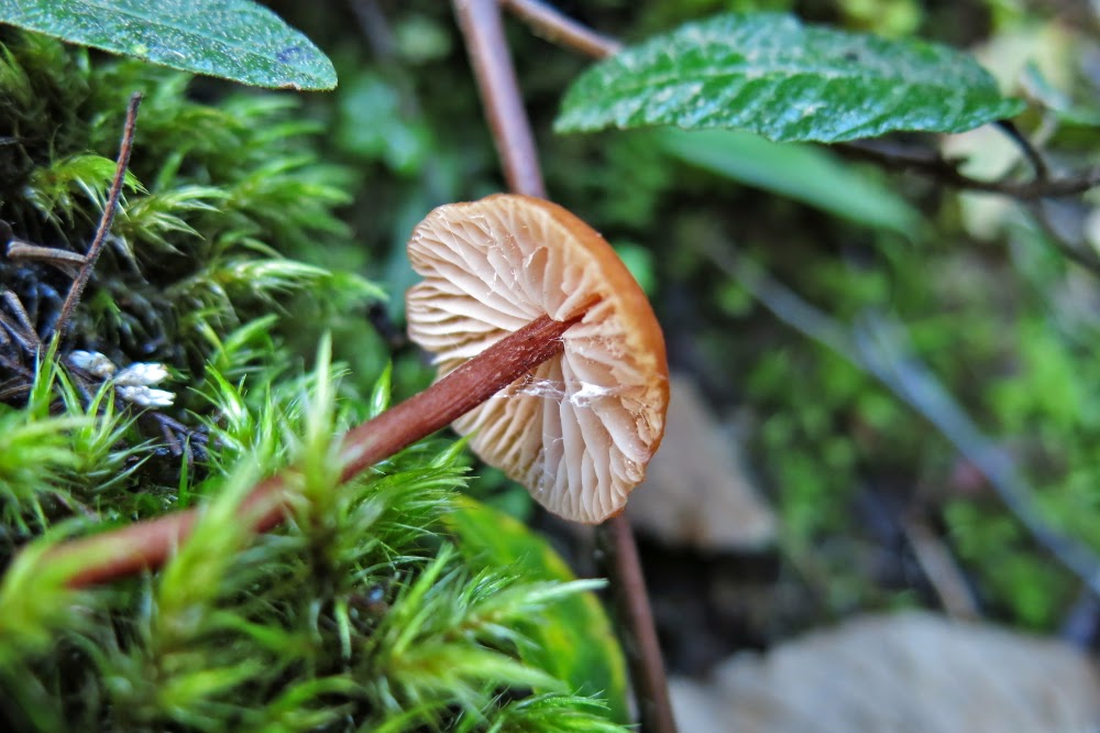
One of many beautiful fungi (Mycena sp).
Ridge enjoyed, photos taken, it was time to descend and drive home, with a stop for lunch at ETC in Elizabeth Town to refill my tank. I was hungry.
Track data: 9.73 kms. 1002 ms vertical climb. Really surprised to see that there was so much vertical gain (I hadn’t bothered adding contours before I left, and didn’t particularly notice that the number was huge while climbing).

Tor 2015 Apr

Mt Tor, Apr 2015

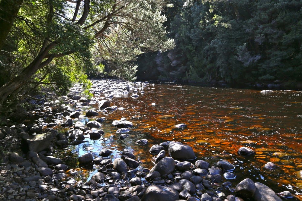
The Leven River, start of our journey

Mt Tor doesn’t always get good street cred, with some vicious rumours floating around about thick bauera and leptospermum that are not a pleasure. Meanwhile, more generous folk maintain the bushy barricades are not too bad. After our experience yesterday, I’d have to agree with those who say the going was better than expected. The views from the top are certainly well worth any effort put in.

Cradle and Barn Bluff form the summit

My climbing partners for the day, Mark and Jo, had to drive from Hobart, so we didn’t exactly get an early start having also negotiated all those forestry roads, chatted to the guys at the gate and more. At last, however, we were off, crossing the beautiful Leven River from a not insignificant height on logs that had, at least, had the rounded tops flattened, so were not threatening as long as you weren’t drunk.

Looking slightly north of east from summit area

The roads as described in the Abels Vol 1 were all intact, although the final one was quite overgrown, albeit still very distinct. The instructions in the book were to go to the highest point on the final road, but just as we were due to turn left, I spotted the hint of an old lead heading straight up, and we all agreed to take it. I kept an eye on east on my compass, but it was much better just to follow these linked leads through the glorious rainforest and correct later, and that worked well. I knew a creek and the big gully that leads to the top were to my right, but didn’t go searching for them whilst the way was so good where I was. Every now and then a sawn-off tree trunk confirmed that activity had once taken place where we were.

Tiny summit cairn to the right, although the black dot is a tad further south. We visited both.

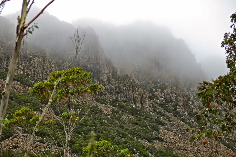
Once we hit the rocks the rainforest ceded to head-high scrub. Time to go find this gully, as the rocks themselves were much too slippery to climb. Using a mixture of climbing and contouring, heading up (east) and right (south) as the terrain dictated, we eventually hit the broad gully, after which the going was very easy with abundant pads heading up to the ridgeline which I loved with all its bumps and rocky knolls. The view was glorious, and we enjoyed it greatly while we ate our lunch. It had been under two hours’ walking time to the top.

The trip down was not as speedy. We had seen what looked like a track going up, so decided to follow it, but it dumped us in a tangled mass that was above my head. I was grunting with the effort of clearing a way through it and was very happy when Mark offered to take over the lead at this point. I’d loved leading through the rainforest, and didn’t mind the chest-high stuff at all, but I was feeling rather smothered by this wall of twigs that resisted movement and that was so high that I was invisible in its mix. With Mark going ahead of me, I could use the slightly bent branches to make better progress following in his wake. Back in the rainforest, I took over again, leaving Mark to concentrate on helping his wife, for whom this was a debut Abel summit.

Hypholoma fasciculare var. armenicum
Why was Jo given Tor as her first taste and not something easier, you ask?  The answer is simple: Mark is on the final countdown to completing all the Ables and wanted Jo to climb one with him before he was finished. Tor was the easiest of the ones left. Whilst I am telling you it was much easier than expected and a bit of a breeze really, that is from the perspective of someone who’s done battle with some pretty fierce scoparia. I think it’s amazing that Jo managed to climb this mountain.

“Are they all like this?”, she asked.
“Well, some are easier, but …. er …. mostly, yes,” confessed Mark, “and some are much worse.”

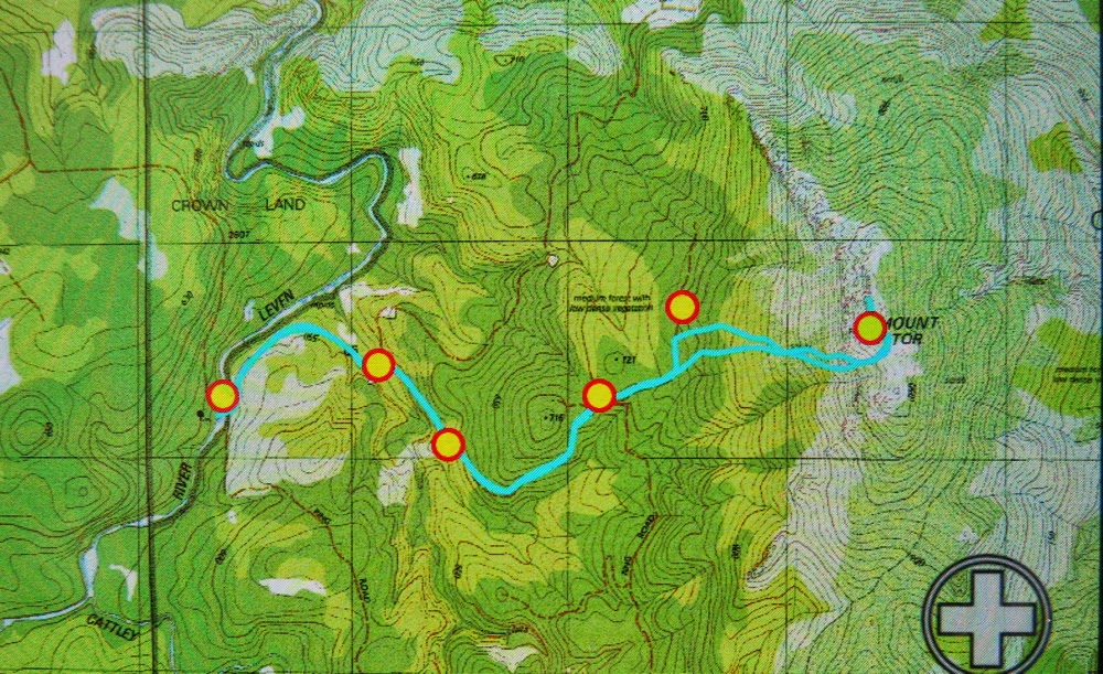
Our route from carpark (old picnic area) to summit (both ‘summits’). (Waypoints put in in advance)


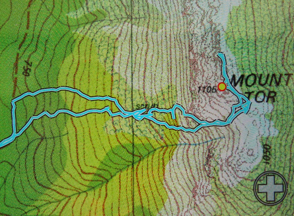
Larger version of the bit that involves navigation. The track that begins at the road bend and is more southerly at the start is our route up, which worked well. It becomes the more northerly at about half way. Once we hit the rocks / cliffs, you can see we head SE to the gully along the path of least resistance. The loops at the top are because I had fun dashing about taking photos. The extension beyond the marked summit is in case the tiny cairn we could see to the north was the real summit, so we were covered. Somewhere near that contour cluster on the way down lies treacherous, plotting and masterful bauera. It had the victory over little Louise. The blue line does not tell this tale. 
Track data: 11.65 kms, with 610 ms ascent. As with Valentine, really surprised to see the climb. When you’re busy negotiating greenery you just don’t notice that you’re climbing at the same time.


Marian and Trestle Mountain 2015 Apr

Mt Marian and Trestle Mountain  April 2015.

I rather liked this view of Collins Bonnet that presented itself to me as I passed by – an old friend.

People climb mountains for many reasons. Some climbers, when asked why they did it, merely respond: “Because it was there”, which is not altogether helpful. Perhaps if I may attempt to articulate the unarticulated, I think they probably mean that the very presence of the mountain issues a challenge that they just couldn’t resist. Possibly at the other extreme are people who maintain that they only ever go up a mountain to have “a lovely day out” and that they don’t care which mountain it is, or whether or not they reach the summit. My first born daughter used to refuse to stop climbing anything until she had reached the top – and that was when she was still in nappies. I decided watching her that a drive to the summit was a genetic thing, as I had never taught her to behave like that.

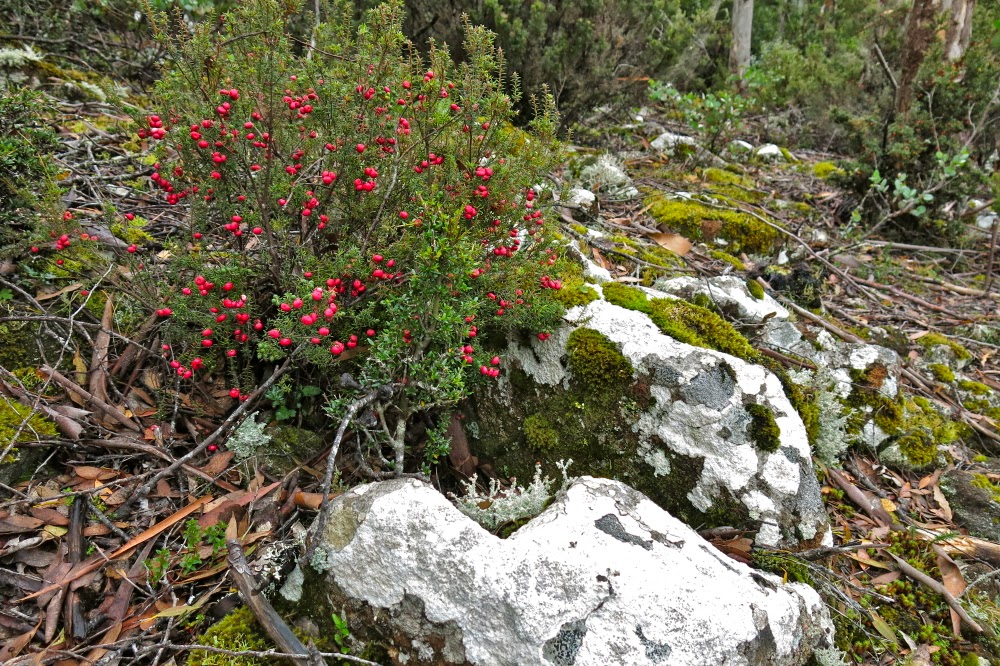
Leptecophylla juniperina adds colour, especially when doing combat with the white snowberries of Gaultheria hispida 
I like to think I have a huge mixture of reasons for climbing, and that different ones may dominate on different days. Sure, on some days, like yesterday, I can be happy just to be there on the mountain, enjoying things from on high. On other days, I slip back into athlete mode, and am very business-like about getting to the top. Today was such a day. I had decided that I wanted to summit Mt Marian and Trestle Mountain (both Abels), and that I wanted it to be more of a workout than a pleasure jaunt (except that, for me, workouts are highly pleasurable). That’s probably because (i) I don’t like fire trails and (ii) I am feeling guilty that the dogs haven’t had enough of my company of late, so was in a rush to get home. This was to be a no fuss trip, and as fast as possible.

I set out after breakfast, and was ready to roll at Myrtle Forest Picnic area by 10. (For those from the north and foreign visitors, if you head for Collinsvale, there is very clear signposting after that.)

Exciting vistas opened up as I neared the summit of Mt Marian

The first part of the track was glorious, beside a ferny creek with, hardly surprisingly, myrtles here and there. However, my eyes were decidedly groundwards, as there were many colourful fungi popping their cute umbrella heads out from wood and moss, and I was enjoying them. All too soon the track split, and my route, the right hand one, turned away from the creek and the forest became drier until, 35 minutes after leaving the car, I bumped rather unexpectedly into the Collins Cap track start. However, this was like the sirens tempting Odysseus. My goal was Mt Marian, not this one, and I would not be turned off my course. On I marched, happy with the unexpectedly short time for this section. Business-mode was working well.

Summit cairn (Mt Marian)

Mist started gathering as I approached the under girth of Trestle Mountain. Should I do this one first whilst there was still maybe the possibility of a view? No. If I do, I might not do the further one. Hardest, furthest first was my self-made rule. All my eggs were now in the Marian basket. If the weather closed right in and it poured with rain maybe I would get no mountains for my drive. “No”, I told myself, “You’re summiting two mountains today, whatever the weather”, and on I went. No wussing allowed for people in business-mode.

I loved the rocks on Mt Marian
In not much over an hour I was at the turn-off to Mt Marian, very pleased. I was going to get a mountain today after all. A shade under half an hour more saw me on the top. As I had met a Belgian in the carpark who told me my intentions could take 7 hours and asked me if I had a torch, I was pleased. This was my furthest point. I would not need a head torch. Given the scant time this had taken, I may not even need lunch – which was good, as it was absolutely freezing, and I had no intention of sitting still for a long while yet. I had only done half the job I had set out to do, and didn’t even stop for morning tea.
Summit rock of trestle Mountain – defended by sneaky patches of treacherous black moss. I was very careful up there.

Back down I went , through the glorious patches of pineapple grass, and past countless bushes of  berries (Leptecophylla juniperina – red – and snowberries: Gaultheria hispida – white). We could have had a modern-day Aussie-variety House of Lancaster vs York up there. The road was festooned in red and white. On I strode, continuing on 100 ms past where I had originally joined this East-West highway to the narrow path that said it led to Trestle Mountain. Up I climbed, still making excellent time. By now I was a bit peckish, but it wasn’t quite lunchtime, and besides, the wind was nasty up there, and my hands were aching with the cold, despite my relatively fast movement. I retreated back to the fire trail and began my return trip to the car, my work intentions satisfied.

Looking along the spine of Trestle Mountain from the summit

Because I had now completed my mission, I was more relaxed, so when I spotted a nice creek on the descent, I plopped down beside it, and got out my food, enjoying the little grove of richea dracophylla that surrounded me. It’s good that the nearby minutiae pleased, as there had been no grand vistas on offer today (even minor vistas were absent).

A fungus posing as a cancan dancer revealing its petticoats.
I was tempted enough by Collins Cap on the way back to even begin on that trail, but decided that it could wait. It was only just after 2pm at this stage. If I ignored it, I would be home in the light, in time to play a bit with the dogs in the garden, even if I indulged in cake and coffee at Zeps in Campbelltown for afternoon tea on the way through, which I fully intended doing.

Perhaps that kind of “efficiency” in mountain climbing is some people’s idea of hell, but I enjoyed myself greatly. I like both kinds of climbing. The former athlete in me still delights in a good workout; it’s a hard habit to break.

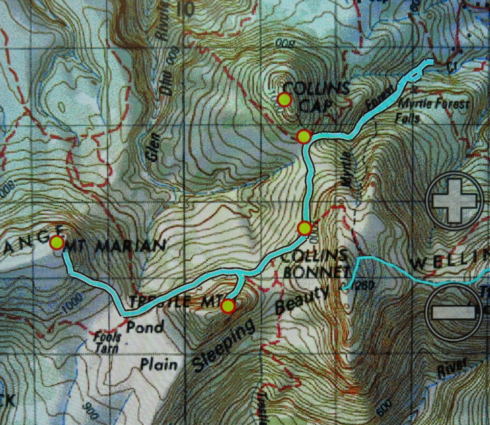
Note, there is no track on the map underneath all those blue lines, but there is a path or road (dirt) underneath all. Neither the gps nor the paper map has all of the roads marked. I felt pretty cheated having bought the paper map of Wellington Ranges especially for the purpose of not getting lost, only to find it hadn’t done me the courtesy of putting the useful information on the map, yet feeling quite at home with charging me money for it. If you want to go there, I suggest you print off a larger version of this and have it in your pocket.
Total climb, 1000 ms. horizontal distance 18.4 kms. Km equivalents: 28.4 kms.
Another useful source of information in helping me work out what was feasible given my timeframe, and providing a map similar to this one with his route on it was at http://hikinginsetasmania.blogspot.com.au/

Stacks Bluff, Wilmot Bluff, Denison Crag 2015 Apr

Stacks Bluff, Wilmot Bluff, Denison Crag, all in Ben Lomond National Park. 2015 Apr

Climbing Wilmot, the second of our mountains
I could tell this was going to be a great day from the moment people emerged from their cars. Everyone seemed very jovial and keen to get going. This was a Hobart Walking Club walk, and I was leading, so, after chatting a bit to the guy who was setting the pace, I dropped back to the tail end, not that there was a big difference between the two, but I was taught a very long time ago by my husband, who imparted to me nearly all the bushcraft I know, to lead from the rear if the path is clear.
The view from Denison Crag back to Stacks, the first of our mountains.

Our first objective was Stacks Bluff, which involves quite a big climb (over 700 ms straight up over huge rocks). About half way through the steepest and trickiest section I offered them a break, but all agreed they wanted to get this steep part finished. I admired them. On we continued until we popped out onto the plateau at the top, the base from which the rest of Stacks would then rise. Although we had to climb to its summit, we had done the hard work by this stage. Up here, coats, gloves and beanies were needed, and off we set again, rising far more gently now, until the summit was reached. The wind was biting, but the summit has what I call a sheep pen on it: a place where you can climb inside and have shelter. We all got in and sat in a holy huddle to enjoy eating our own food and the shared food from others’ gardens that was offered around.

Peeps over the edge were a tad dangerous

There is no path to Wilmot, which makes it a bit more fun, and I enjoyed finding our own way through the rocky challenges, first off Stacks to the saddle below, and then following shelves of rock up to the top of Wilmot. We climbed it very quickly indeed, but still used being at the summit to celebrate in the normal way – by eating a bit more. Sweet stuff this time.

Denison Crag was fun! Just look at the scale of human to rock

People were now very relaxed, the hard work of the day was done, and we had ample time to get back to the car. I killed some of that time by offering a third mountain, and all but one opted to do it with me. This one was the highlight for me – partly because I hadn’t climbed it before, but also because I could tell from afar that its cliffs would offer very dramatic views, and I was right.

Dancing on the top

We rounded the day off beautifully by driving to Zeps for coffee and cakes before splitting into north and southbound cars to return home. Again, food sharing was the order of the day, which I totally approved of, as I got to taste not only my own yummy raspberry tart, but a cake called “Ivory” which came straight out of heaven.

Last view back

Campbell 2015 Gussy’s first Abel

Mt Campbell: Gussy’s first Abel.

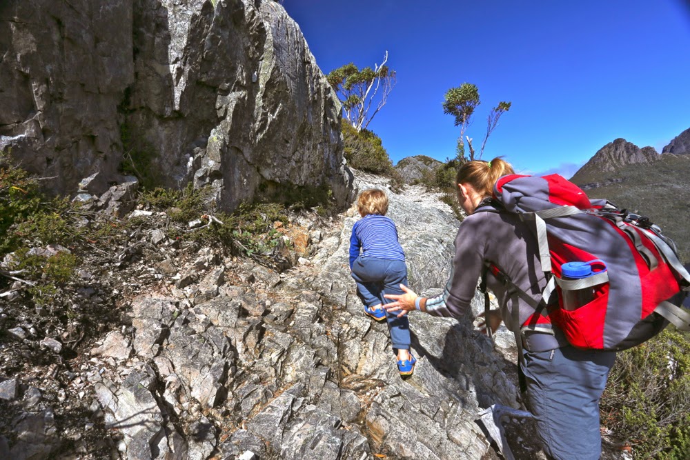
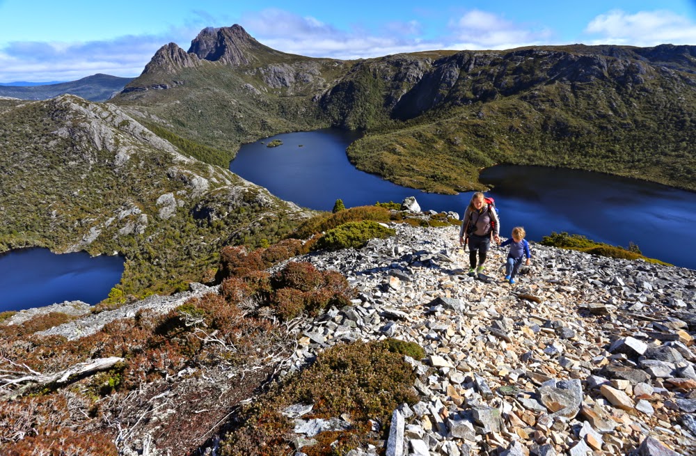
The steps are big when you’re three

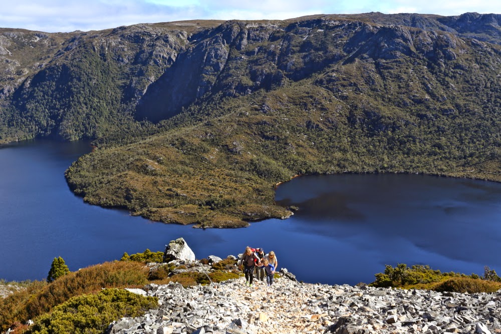
This weekend was my birthday, and it was my birthday wish that we have a family weekend at Cradle Mountain, and that we see if Gussy could climb Mt Campbell. I also wanted to climb Mt Kate with at least one of my daughters (and, considering babysitting duties, it would probably only be one), and to see Guss’s delight at his first huge smorgasbord breakfast (he being a gourmet in midget disguise). I hoped to show him wonderful animals and beautiful forest, but these things were secondary to the other wishes.

No wonder he was hungry by the saddle

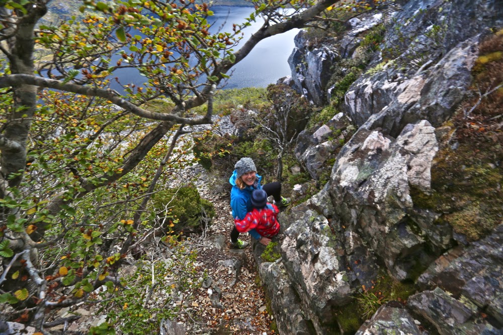
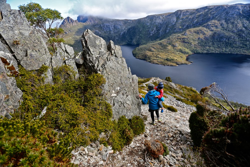
Little Gussy has been to the summit of quite a few Tasmanian mountains, but he’d hitched a ride in a sling or papoose. I wanted him to actually climb his first peak, and I wanted that peak to be an Abel for sentimental reasons.

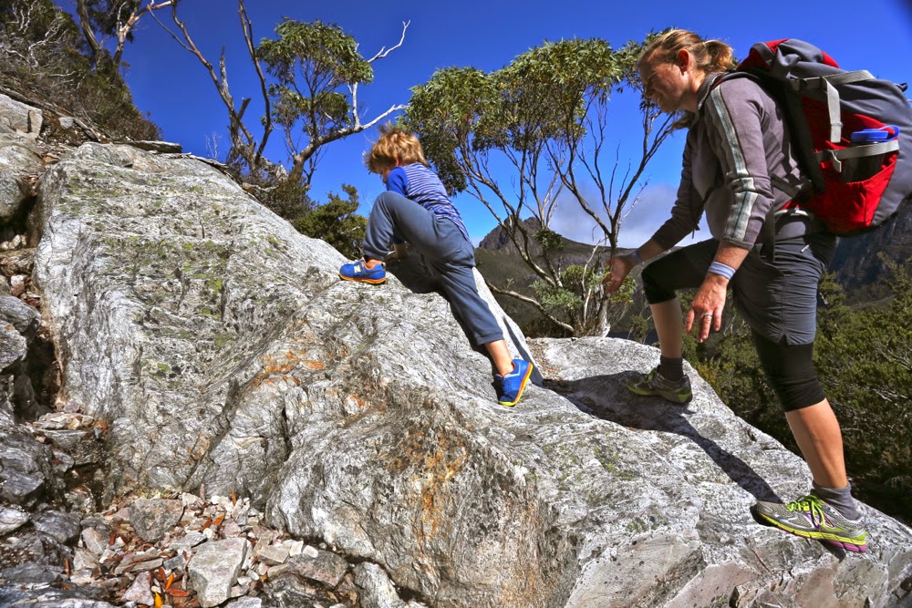
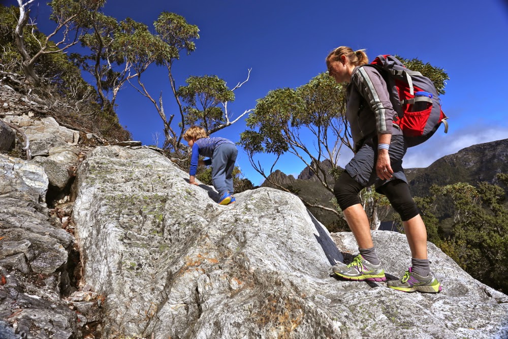
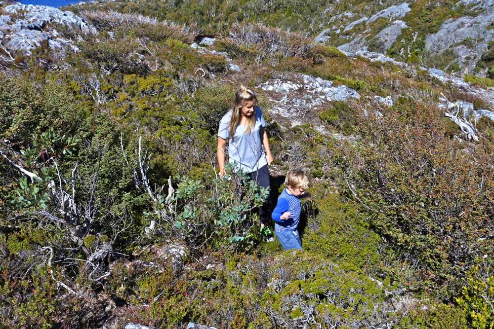
Trying his hand at a spot of off-track

His generally preferred style

In planning, I tired to view Mt Campbell through three-year-old eyes in order not to over-tax him. It didn’t seem too steep or too demanding or too long (as an athlete, I’d run from carpark to top in 20 minutes, so regard it as a pimple). I awaited the weekend to see if it would work.

Whilst Campbell seems to me just a nice mole hill, something you can run up in a jiffy, from the height and musculature of a three-year old, it is actually quite daunting. I saw Campbell through different eyes this day.
Guss needed a rest by the first saddle, which he took 32 minutes to reach. I think some walking club groups might take that long. He was doing well. His appetite in that protected bowl with a lake out each side was prodigious – he ate a salad roll, wallaby bites and shortbreads. The climb thus far had obviously worked up an appetite.

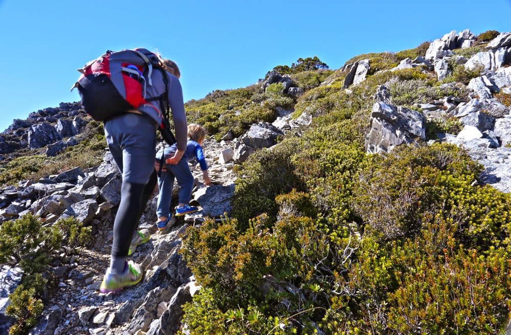
Tummies full again, off we set. He made it to the top in a shade under 60 minutes from the saddle, which included another much-needed, yet short, food break at a lookout rock maybe half way. At the end of the steep section, but before the summit, he plonked down on the ground, ready for more food treats. I thought he’d had enough. Yelena wanted to touch the summit, so I suggested she go there while we stayed with Guss. “No,” he said, “I just need food and then I can touch the summit.” I was surprised and thrilled – thrilled that it was his own initiative to actually complete the job to the end. He’d done the climb. In many people’s books he could be said to have climbed Mt Campbell already, considering he was about two vertical metres below the summit; he had the summit view, and had gained considerable height, but he knew the real top is where the cairn is, and wanted to be there.

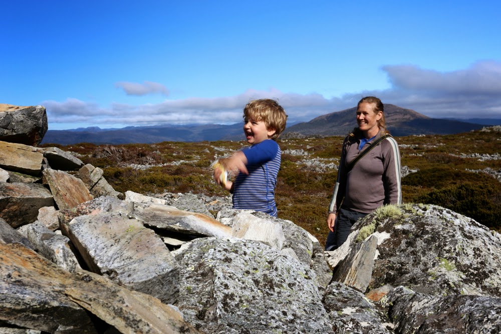
Hoorah, the summit. Let’s just throw a rock.

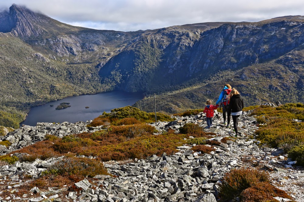
The long trip down begins
In my calculations and imaginings about whether he could do this climb, I had never considered the way down, assuming the difficult part would be the exertion of the ascent. However, job done, summit achieved, little Gussy had had enough. He wanted a cuddle – continuous cuddle – and he wanted that cuddle to be with mummy. Have you ever tried descending a very steep slope with a wriggling 19.5 kg mass half obscuring the path ahead? I had thought Mt Campbell was a toddler-suitable mountain. I realised as we descended that it was not. It is only because my daughter is an exceptionally strong and capable sportswoman that she managed to descend that slope with a tired child wrapped around her. (She was also, at this stage, pregnant with number two).

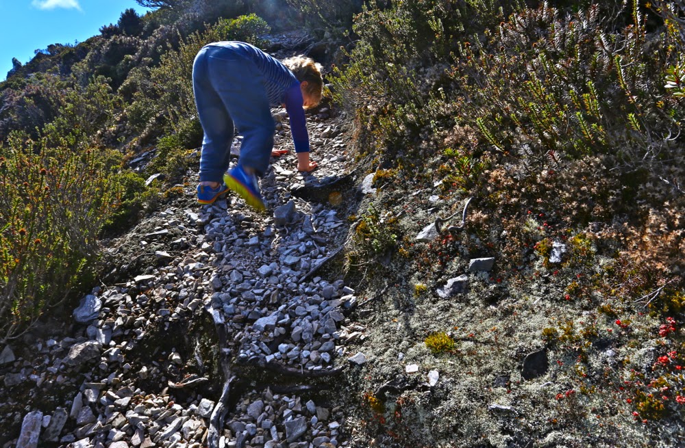
A bit tricky here

He was unnerved by the angle of the drop and by the way the scree gave way under his feet. At several points we had to pass him down as in a pack haul. Once he was at the saddle again, however, he cheered up (more muesli bars and chocolate), and made it to the end with the promise of being allowed to throw stones in the lake to lure him ever onward. The final hundred metres was done almost at a trot. Any time since, when asked if he liked climbing his mountain, the answer has been an unequivocal “yes”.