Tyndall 2014 Nov

Climbing
I have a suggestion for you, my reader: If you would like to experience the Tyndall Ranges in fairly desperate conditions, then just give me a ring. My record is unblemished. You’ll be assured of a good adventure and atmospheric photos – and, most important of all, of fairly disastrous weather.

Cresting the top: Tyndall.
The first time I went, the waterfalls were flowing uphill; the gale blew pack covers off and made zipping up coats impossible; the tops were knee deep in water. Dying from hypothermia was on the programme, but omitted this time. The second attempt, I scored a blizzard and summited solo in a snow squall with only my gps to confirm I’d reached the black dot. On the way out, all features were obliterated, not only by the deep fog of the previous day, but also by a blanket of fresh snow hiding all underneath it. The gps said where a track should be. The ground didn’t. Dying of hypothermia was on the programme, but was again postponed. This last time, I made another attempt at this interesting way to terminate my life, but failed yet again. Here I am, the cat who comes back (so far). Let me tell you this third variation on a theme.

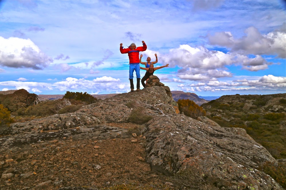
Molly on top

We had been scheduled for a while to do a walk this weekend in the south-west, but when I looked at the horrific forecast for Saturday (a great deal of rain), I changed plans: Let’s go to the Tyndalls. We can use the track heading upwards in any weather and save cross-country navigation and any bush bashing that may occur for the sunnier Sunday. Deal.

Salome explores a different section

The car trip there was painfully slow. There are monstrous sections of 40 kph speed limit on the B18 heading south. It took five hours to get there! I parked, eyed the dark veil approaching, obviously laden with rain, and was impatient to get our climb done before it dumped on us. It was already eleven, and I was cross at the delays. Our pace was good – Molly and Salome are nice and fit – and we were at the top, photos taken, tents pitched and eating lunch before the storm broke. We sheltered in our timely-erected havens (on the summit) waiting for it to finish. It wasn’t as bad as I had expected.

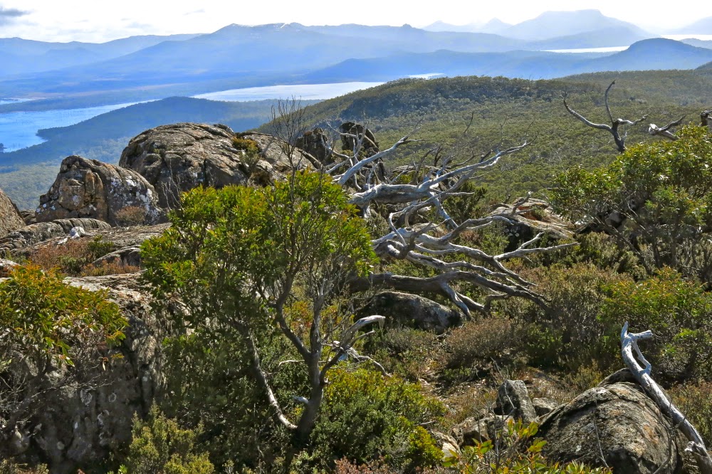
I love it up here to bits. It’ s so nice to see the view!!
By 2.30, things seemed to have cleared enough for us to decide to take on Geikie that afternoon rather than waiting for the morrow. We packed the normal emergency equipment and set out, hopeful. We made fabulous time early on, and Tyndall seemed to be a good distance behind us, Geikie getting nice and close, as it began to rain at the far side of a tarn past Lake Tyndall, down in a basin between the two mountains. Mist began to envelop us. Unfazed, we journeyed on, happy with what the watch and our eyes said about progress.

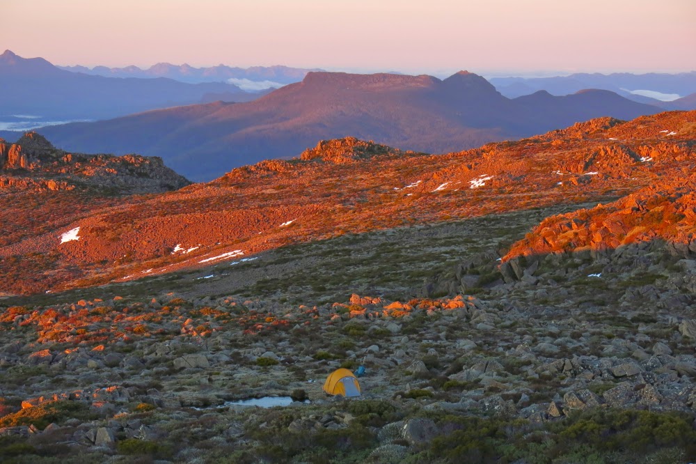
Tenting on top. Geikie in the background.
Somewhat wetter, and definitely in a space defined by the very near environs (maybe about 10 metres visibility at this stage), we decided to have a check on the gps, as we had lost all sense of where our goal might now be, and how near we were to it. I was very disappointed to see the results: having blitzed the first bit, this next section, going up and down over mini-spurs and sometimes diverting to avoid cliff lines or backtracking to get around obstacles, had been slow. We were only maybe two thirds of the way there, and we had used up one and a half hours. I did my maths. It was still possible, however. A second source of disappointment was the realisation that my gps had not tracked a single step of our journey. The screen must have been bumped, turning the tracker off. Now I’d have to navigate my way on the return journey, whereas I’d hoped just to retrace our steps. On we continued, mist thickening up, rain getting heavier.
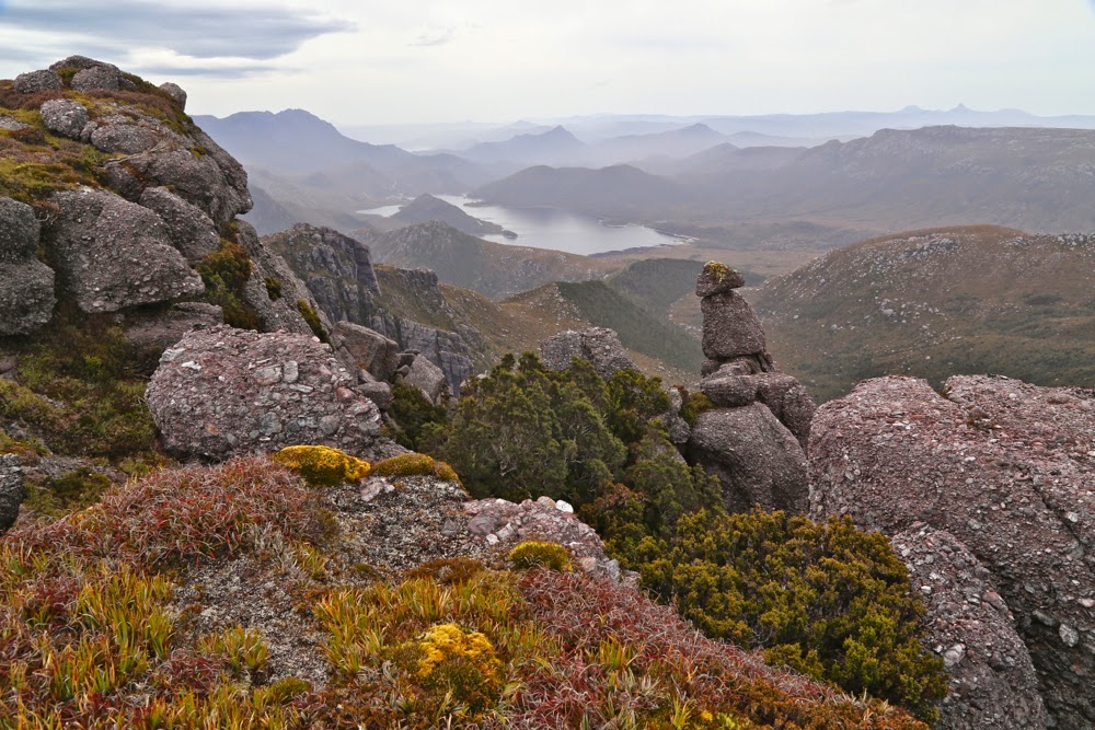
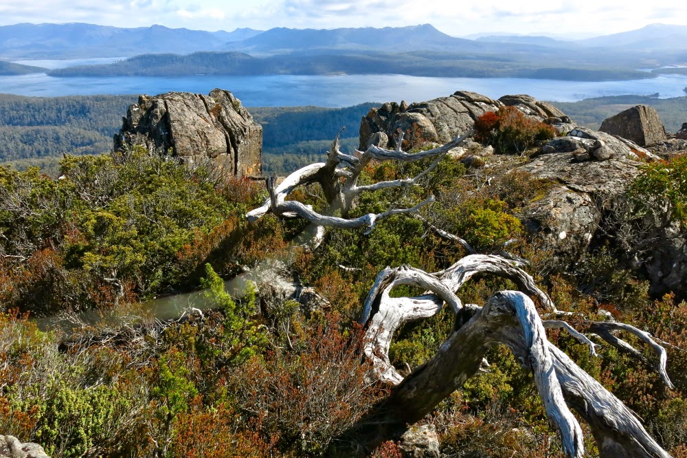
Another inspection of beauty (after lunch this time) before we set out for Geikie
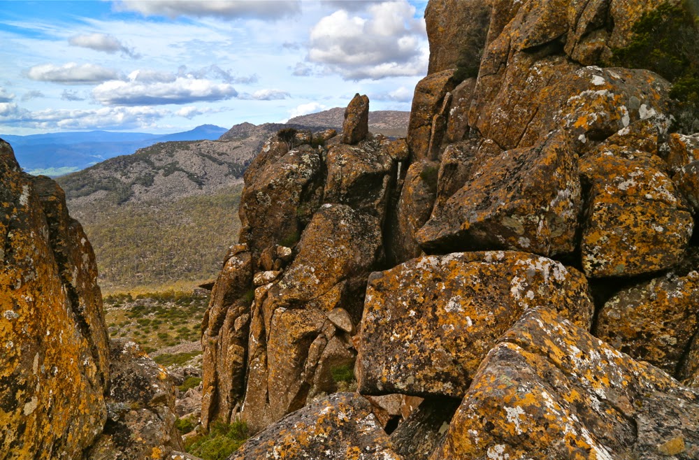
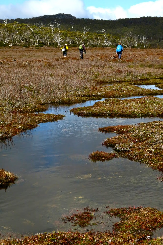
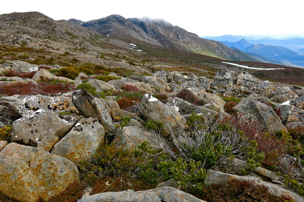
Bruce and I enthused over the scenery despite the rain: we were in love with the myriad glistening tarns and their backdrop of dove-grey rocks with a pinkish hue. The girls were rather more blasé, telling us that the scenery was like the western coast of Sweden.
Now it was time to climb again: with necks bent low to the driving rain, up the slope we moiled. I gave my compass to Molly, asking her to sing out if our line drifted too much from the direction we wanted (this is often best done from behind. Bruce usually does it if we’re just two). All was well, except for the time. Our stops and checkings and decision makings were slowing us down. Now it was 4.35 and we were at a top, but not at the top of Geikie. Rather, we were on a high point (1140ms) called The Bastion, which is tall enough to be an Abel, but is not one as Geikie is next to it, and there is not a drop of 150ms between them. To get from The Bastion to Geikie, you have to descend about 70 metres to a saddle and climb again (even more). The scrub became thicker. Visibility was zero. It’s quite possible that ten metres from us there was a glorious, scrub-free route, but we didn’t have the luxury of sight.
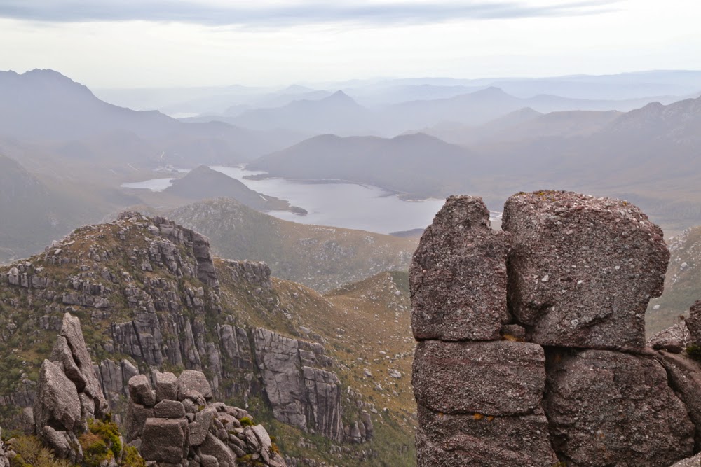
Bruce and I were now anxious about elapsed time (and actual time). His capacities were waning. Molly in particular was all for pressing on. Her argument was that we couldn’t get any wetter, and we’d be back shortly after dark, even if not before dark. Both of these statements were true, and had it not been raining, I would have been happy to continue, but wet cold is the worst cold, so my reply was that although we couldn’t get wetter, we could get colder, and I had a man with Parkinson’s to think about. Had they not been with us, we would have turned around earlier, in fact, but I was indeed pleased to have climbed something, even if not Geikie.

One of very few photos taken on the Geikie part of the expedition – a long exposure of a tarn

The cliff line that we followed on our return journey was exhilarating with its sense of space out to our right as we made excellent speed along it, using movement as a means of warming ourselves up. Just as it was time to leave it (it swings around from the direction we needed), Bruce decided he needed more tablets to fund his motion, so we all stopped while he felt around in his daypack and did his tablet thing. I used the waiting time to photograph – just three quick snaps of nothing much, but it was the first opportunity in ages where I was stopped doing nothing and it wasn’t raining too badly. The girls were still with us, but when we turned around having packed back camera and tablets, they had disappeared. Oh well, they’d be up ahead, no doubt over that little rise just there. But when we mounted that little rise, they were absolutely nowhere to be seen. The mist closed right back in, and Molly had my compass. (We never saw them again until we reached our tent).
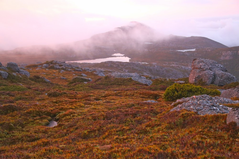
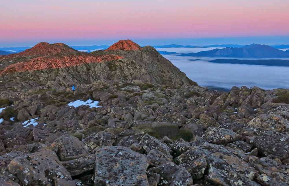
Sunrise from our tent window
Bruce was tired, despite his tablets (it had been a long day!), and I was going more on feel than anything else. Paper maps (which I had) are pretty useless with nil visibility, and I was unwilling to walk with the gps screen on lest I fall and break it, or run out of battery from overuse. I save it for emergencies, so headed us in the direction I felt was right. My feelings were pretty good and we didn’t go off course too much, but we definitely did not choose the fastest route, and Bruce was stumbling a bit. Time went by and it got darker. I could hear him breathing at almost a grunt each breath. I tried to jolly him along. I was ready to finish this adventure.

Same: different observer position
I checked the gps again. Yes, on vague course, but we were lower than I wanted; we had not happened on the track that existed in this area, and we still had more left to climb than desirable given the grunts I was hearing (not Azaranka level: just quiet ones, but there). A few more small falls, but we were gaining good height and at last we reached the cliffs that define the summit. But where was our tent?

Now I’ve gone back to the actual summit, 2 mins from the tent. Losing the pink. My Lee GND filter was in my pack, but I didn’t have time to get it out 🙁

 I stood in the way-marked yellow dot (that indicated its whereabouts) and could not see it. We circled and circled. I began to feel mild panic when at last we saw its shape. We must have been a mere three metres away and yet it had been hidden from us by the thick soup of cloud. It was only six-thirty, but it appeared to be about eight, judging by the light.

The sun is making a valiant attempt at mounting the ridge
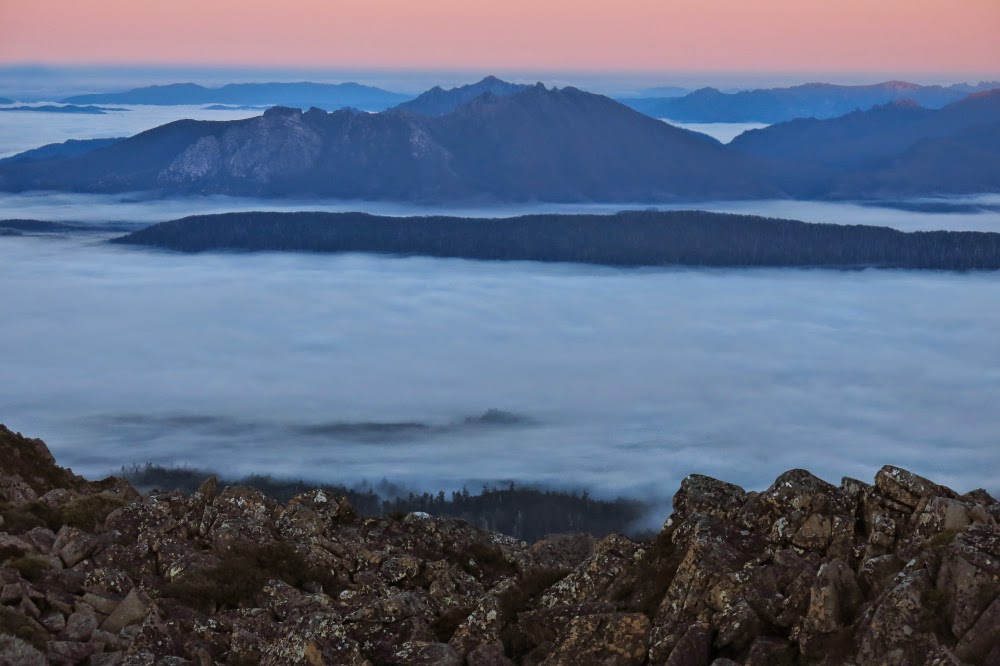
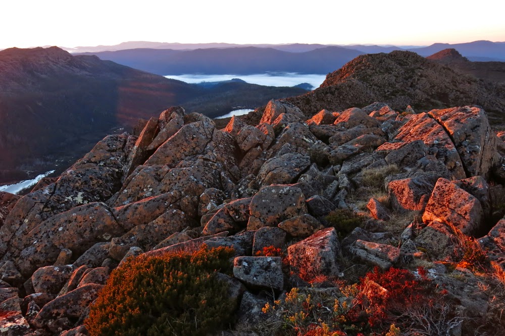
Next morning, Bruce had real trouble waking me for sunrise. The wind had flapped the tent all night and I didn’t fall asleep before three a.m.. I missed what he tells me was a beautiful red sky.  He nearly gave up rousing me, but tried a second time and got success. I dashed outside, and luckily did get some before the sky lost all its pink and the mist closed back in for another few hours.
The descent was uneventful.

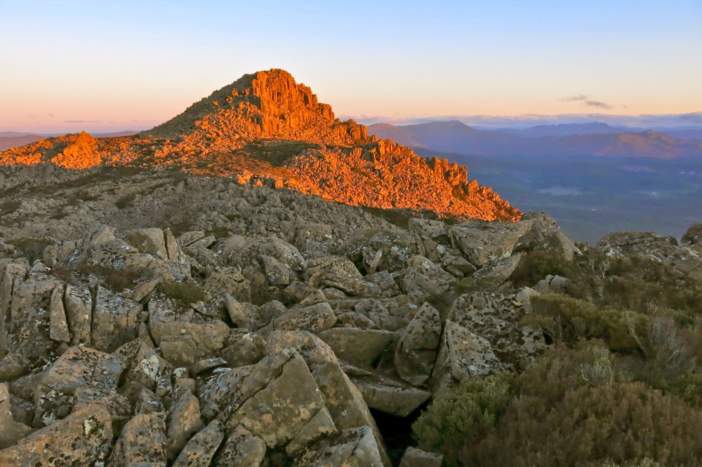
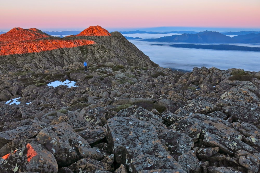
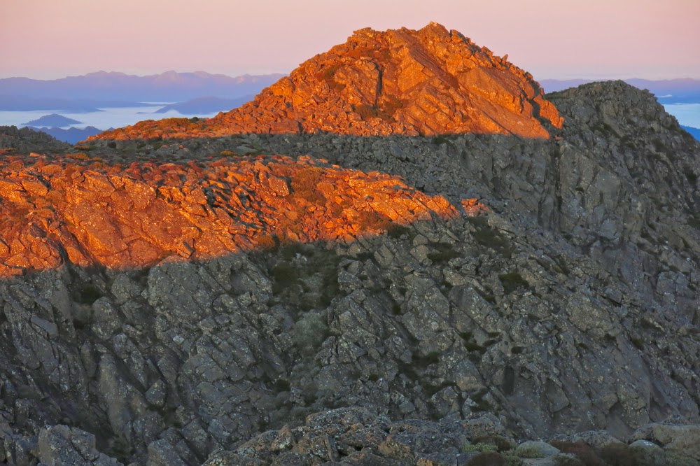
Last pink from the top. Oh how I love this place.

Ragged Jack 2014 Nov

We have crested the slope at this stage, and believe (falsely) that the summit of Ragged Jack is only a quick play along the rocks away.

It now seems to me astonishing that I have driven past Ragged Jack so many times without ever noticing its existence. I guess my eyes were always fixed on the more dominating Ben Lomond massif behind, which grabs the limelight due to its bulk, and yet, Ragged Jack is a much more interesting shape. Now that I’ve climbed it and know of its presence, I think it’s a wonderful mountain, and can’t imagine failing to register it. John Berger, in his excellent book Ways of Seeing, discusses how knowledge influences what and how we see, and certainly, knowing Ragged Jack as I now do, will forever influence the way I regard it in the future.
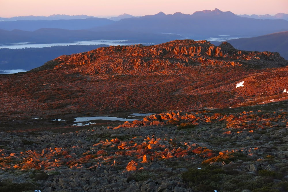
Having fun with the self-timer at the summit cairn.

It’s always wonderful when predicted bad weather moves through early (or fails to appear). Tomorrow was supposed to be the one sunny day of the week, but this morning, the sun was shining and the sky looked clear, so I suggested to my Swedish visitors that we go climb Ragged Jack after lunch. Of course, they readily agreed.

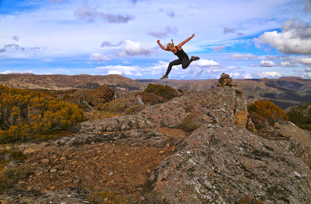
It works better with me at the button :-). Here is Salome jumping.
I have no idea why, but I was expecting very thick bush and a long section of bashing through it before emerging at a rocky section, final climb to the top. The actuality was far nicer than the expectation, and the girls and I enjoyed not only getting our two points (they’re now right into this points business) but we delighted in the climb itself, and the forest we went through.
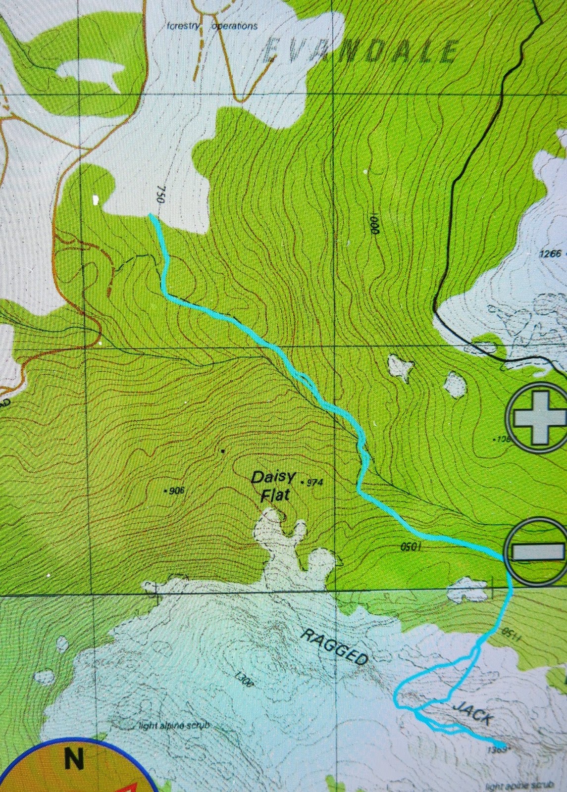
As my car does not indicate decimal points of a km, as road RJ7 was not labelled, and as the gps said we were west of where we needed to be when we stopped, we were a little uncertain at the start, but decided to just climb anyway: the contours were self-evident and if the path we had was not the right one, we’d just go across to the real one through the bush at some other stage. As it was, the path did all the things I wanted it to, so we didn’t need to leave it.

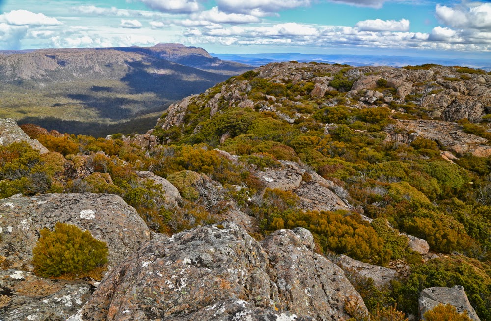
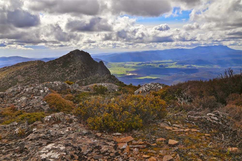
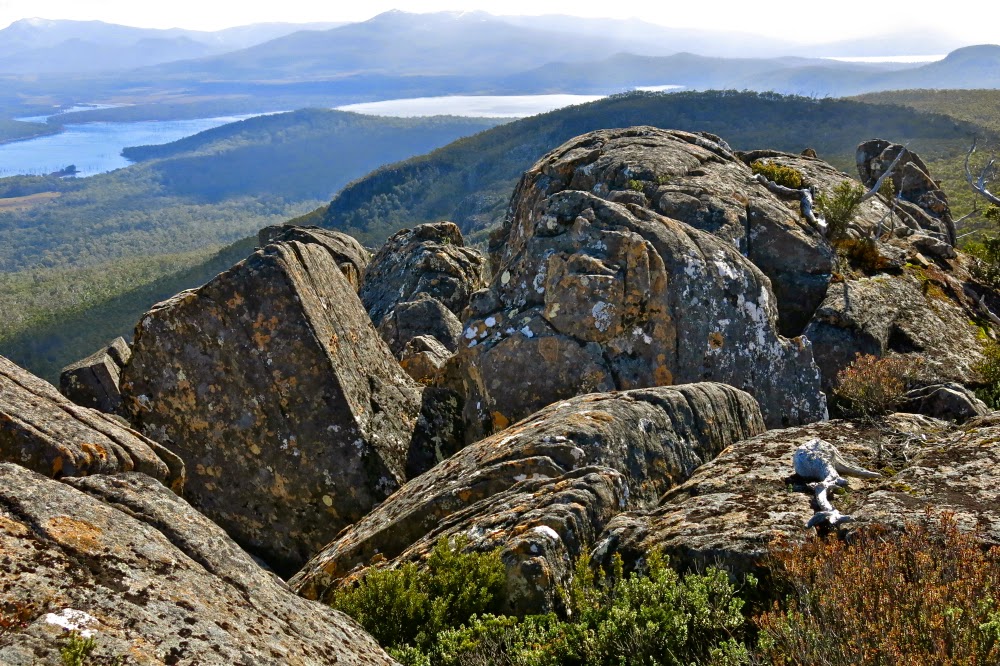
Summit view, looking to the southern end of the Ben Lomond massif.

We climbed using it for 34 minutes, until we found the group of very obvious cairns that the book promised us. What we hadn’t been promised, but what made life easier, was a series of tapes and cairns that allowed us to chatter instead of concentrating on navigation as we climbed further through the terrain that was pretty open and nicely rocky. We were all enjoying ourselves, and playing “spot the cairn” like a treasure hunt with an obstacle course thrown in for good measure.

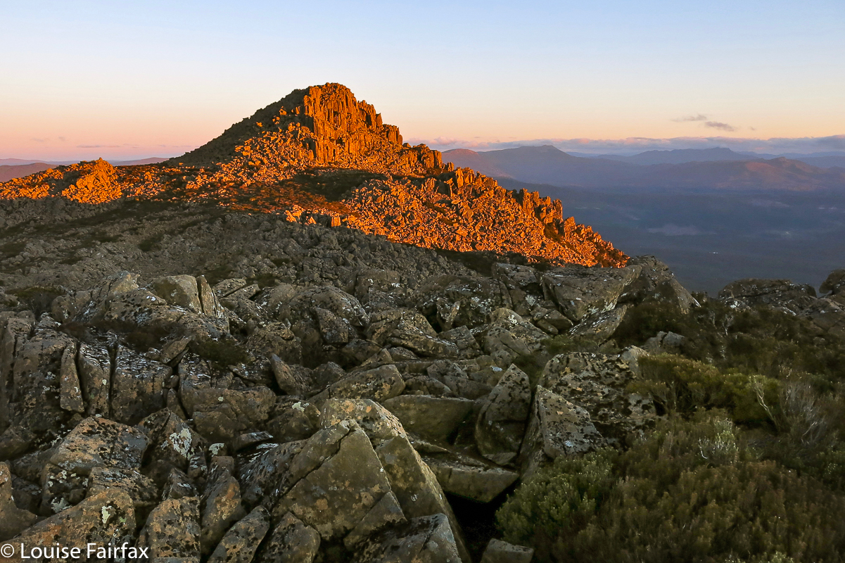
And my favourite summit view, to the other half of Ragged Jack and Mt Barrow beyond.
It took 30 minutes to climb from the path to a point where we had crested the main climb that lead to the summit. From there we just had to follow the cliff line to the highest point. That, however, was easier said than done, as it was here that we met thick bush that slowed us down as we tried to find less prickly paths through it (we were a lot more successful at that on the way back: such terrain is easier seen from above). The final part along the top took us 27 mins.

Up there we had our obligatory jumps and poses, a snack and a gaze at the surrounding mountains, and then it was time to descend, hoping to see the same wombat that Molly saw, but Salome missed, on the way up.

Wentworth Hills 2014 D’Arcys Bluff Sept

 Wellington Hills and D’Arcys Bluff 2014 Sept

 The reward: a view like this

“I hope I’m pleasantly surprised by this mountain today. I’m not feeling overly hopeful.”
“Why not?” asked my husband,  probably wondering why his wife had brought him on a walk that she wasn’t expecting to enjoy.
“Hmm. The picture in the book was rather dull – it looks rather a non-event – and the book says it’ll take 4 hours from car to summit, which is rather a long time. The distance doesn’t seem overly long, so that bodes ill re the terrain.”
“Why are we going then?”
“Mhm? To taste new things. Besides, when expectations are low, you often end up loving whatever it is. If we don’t like it, we won’t go back.”
Well, it was too late for him to object. He was already in the car and we continued our way through the gloomy dawn mist; at the very least, we’d get a good workout, which for us is always a positive.

Easier scrub near the top of D’Arcy’s Bluff

And what is my verdict, now that I’ve completed the walk? Unfortunately the old “low expectations trick” didn’t quite work. I will certainly never climb D’Arcy’s Bluff again, having gained my single point for the efforts, but I would return to Wentworth Hills via the route of our return. Although the lower slopes of D’Arcys had rather lovely myrtle forest, and were sufficiently open to allow pleasant walking, that forest type didn’t last long enough, and ceded too soon to drier, bushier, thicker stuff, cluttered with fallen timber and rocky jumble as we sidled our way around under the palisade of cliffs, looking for a break that would allow us up to the top level.

Nicer going right on top
Up there the rocks became mossy again, and a view opened up over Laughing Jack Lagoon way below. It was not the most dramatic view in the world, but at least there was more reward than just the acquisition of a single peak-bagger’s point.

The more open section between D’Arcys and Wentworth Hills
On we pressed to mountain number two, the dubiously named Wentworth Hills (the minute you call a mountain a hill you’re asking for trouble in my books. Who wants to climb a mountain called a hill? Only a fairly desperate peak bagger). The bush wasn’t too scrubby, although not lightning fast, and then there was a fairly long stretch of spongy open wetland with only calf-high vegetation that sank somewhat even under my unimpressive weight. A bit more scrub, sightly thicker, another rocky barricade and the summit at last. Not a moment too soon. I was absolutely ravenous.

View from Wentworth Hills, to Lake King William (L) and Lake St Clair (distance, R) 
There had been a mild dispute over direction down lower, and I, knowing that others had gone off in the direction they felt to be the summit, took that as licence to do the same, and as it so happened, got to the top with a gap of fifteen or so minutes in which I could soothe my soul by staring out to an infinitude of natural delights: to vast blue and grey skies stretching to worlds beyond, down to Lakes King William and St Clair, and across to a cornucopia of mountains, many of which are familiar friends, but seen here from a new angle. It was delicious to have the summit to myself, to photograph and spend silent time with the beauty. Having taken the photos I wanted, I chose a rock and quietly munched my roll, gazing, gazing, not even worried by the rather strong breeze.

Lake King Will and the King William Range (et al)
 I reckon there was enough ground water near the summit to stay overnight up high. As to whether the mountain would pay off the trek up through the resisting forest with a sunset that made it worthwhile, that is a question that I may … or may not … one day solve. Our return route was via a saddle to the south-east of D’Arcy’s Bluff, and then following the slight spur to the left of the creek that issues from it until it intersected with the road. That’s the way I would go if I didn’t need the point for D’Arcy. If I did need the point, I’d still go up beside the creek to the saddle, and climb D’Arcy via the “back door”, after I’d got my Abel (Wentworth Hills), on the way out. The bush is friendlier by far from that angle.

Zoom in on the watery mountains surrounding Lake St Clair – an interesting aspect.

Route. (Turned gps off early)

Florentine and Tyenna Peaks 2014 Sept

Florentine and Tyenna Peaks: Sleeping on top.  6-7 Sept 2014.

On the approach to Florentine Peak
Our feet crunched noisily on the snow as we made our way over the Rodway Range, our overnight packs on our backs. Mist played around us, sometimes teasing us with a view of the rocks around, at others enclosing us in a world of grey. We hadn’t set out from the car until after lunch and, according to BoM, the weather right now should have been fine, but this dense air wasn’t cooperating.
“I think we’ll have to switch to Plan B,” I muttered a short while later as we crabbed our way along the slippery descent from the high point, made treacherous by the moist black moss. “I don’t want to lug this gear up a mountain we can’t see and don’t know.”
My husband kind of grunted assent.
As we approached K-Col, however, I changed my mind. There was no sun and the wind was up, but we could at least now see our intended mountain, and you never knew what tomorrow would bring.
“Yeah, let’s give it a go,” Bruce agreed.

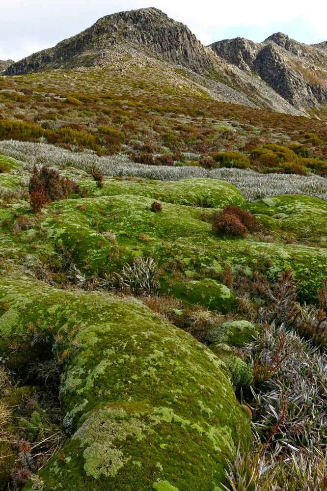
Beautiful cushion plant, with FP behind.
Although The Abels book suggested a slightly different route, I was in the mood for climbing, so we set off straight up the first mound, using channels of vegetation, which eventually produced a kind of climb-contour alternation to the first saddle, after which it was straight up on all fours – very steeply. My husband suffers from vertigo, so I hoped he wasn’t looking over his shoulder. He was … and so began moving very slowly, which he does when the fear factor kicks in. By the time we’d reached the cairn of that particular summit (nicknamed by me ‘summit 2’, as it was the second highest of the several wonderful mounds that decorate the Florentine general lump), he was ready to stop. “Let’s call this the summit,” he suggested.

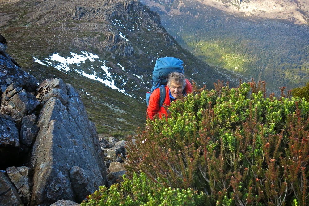
Straight up and still smiling.
“No. It’s not the summit, and I’m going to the real one. But this is a great place for camping. I can pitch the tent here if you’d like.”
He liked. I pitched. Time was now running out and I was getting frustrated and upset. I still hadn’t earned any points at all today and Bruce wanted us out by lunchtime tomorrow. We were on a summit, but it was 10 metres below the actual one, which still looked (as from the map) about a kilometre away.

One of very few sunset photos, taken on the way back.
I erected the tent hastily, threw a few things into my daypack and was ready to try for my first points of the excursion. Bruce was now feeling more enthusiastic, so was ready to come too. Off we set at a rush and to my absolute astonishment, we were standing on its summit celebrating in under ten minutes. Hoorah. Time was still at a premium. We only took one photo up there, as we decided we could give Tyenna a try as well, given the speed with which we’d summitted Florentine. People said it was an hour in each direction. We had 1 hr 45 until total darkness. It was worth a go.
We literally raced where we could – along the vegetation leads, running until Bruce took a few falls, so then slowing to a quick walk. Twenty five minutes got us as far as a high point overlooking the final saddle separating us from our goal. There was no way I could get Bruce up and back before darkness fell. He agreed to stay there and watch, and have a rest. The terrain looked rather unfriendly ahead.

Looking back at Tyenna once we were reunited
The going was slower now, as the bush had thickened up here, and the rocks were once more slippery and jagged. As I climbed higher, the gaps between rocks were sometimes 4-6 metres deep. Despite the need for haste, there was also a paramount need for care. If I fell, I would probably freeze to death overnight, and Bruce wouldn’t have any idea what to do and would be stuck out in the open as well. The forecast was for frost in a town 1200 ms below us. Who knows what the temperature would get to up there? Three times I ended up in a cul-de-sac of unclimbable cliff-face, and had to back track, sidle around further and try again. I didn’t want to look at my watch until I reached the top, as I didn’t want to have to turn around before my goal, and I had a strong sense that I did not wish to see the information it would tell me.

Sunrise from our wonderful eyrie
I had been right. When I finally got to the top and looked, I had taken too long in dead-ends and caution. I needed to hurry back, but still needed not to land at the bottom of a rocky crevice in a single misjudgement or patch of unexpected slippery black moss. I negotiated obstacles on all fives, a monster crab descending, and then hurried to my husband in his bright orange jacket, a wonderful beacon on the horizon catching the now golden rays of the sun.

Looking to the Mt Anne group. (Feder is visible, faintly, to the left)
In all this time – since leaving our tent – I’d hardly taken any photos, such was our emphasis on speed to beat the darkness. Our tent was maybe 45 minutes away, and the sun was setting. However, we were also now out of danger. It would get dark, but we were once more together with nothing more to climb, and I could navigate us back to our tent. I’d taken a very careful note of the shape of our summit (which, being the furthest away no longer looked as high as it actually was, so I couldn’t just head for the second highest lump); I had also been observant about the shape of the snow patch we were next to  (and I did have my gps as a backup for emergencies).

Looking across to Florentine summit 1
I steered us along the western cliff line, partly because that gave us the most light, but mainly because it gave us the best view of the sunset that was now in full swing. Now we were reunited, I used the moments where I waited for B to catch up to snatch brief photo opportunities, although I still had no time to think carefully about composition or lighting. It was, out of necessity, a matter of point and shoot. It was such a shame to be wasting a glorious sunset careening through the landscape, but I would not loosen my guard until our tent was in sight. I feel very responsible leading a man with Parkinson’s in situations like this. The few photos would at least let us admire our sunset later.

A different view of Florentine from Florentine. (See Mt Solitary there to the left).
By the time we were about ten minutes from the tent, it was totally dark on the ground, but we could observe shapes against the horizon. Luckily I knew the form of our patch of snow, as it guided me in to the control point of our tent. I was basically on top of it before I noticed it. Bruce was still in earshot, so my voice guided him in (I never let him get out of earshot). Now we were both there, perched on our eyrie, we could enjoy the remnants of the red and tangerine sunset out to the west. Florentine summit 1 had a beautiful mist floating around its head. Everything was ethereal with that light, dancing veil. We felt transported into a world of glory.

View towards Mt Field West.
Perhaps it is odd of me, but one of the aspects of summit camping that I adore is the inevitable 2 a.m. need to get out of the tent and go to the toilet. The air is so crisp at that hour and the silhouettes of mountains always particularly sharp. As I emerged from the tent, the stars glistened and flickered in a sky that was now perfectly clear. The moon picked out the delineated edges of the pineapple grass fronds, underlining each one in shining silver. I stayed outside as long as I could considering the cold, gazing, fully-satisfied at the spectacle of near perfection around me.

Looking at Mt Mueller. Our tent and its ice-block tarn in the foreground.
But the very best thing about summit camping is the dawn. This dawn was superlative. First we had a gentle alpenglow, followed by ruby highlights as the rising sun touched the dolerite rocks around as we perched on our summit gazing out in awe. Fluffy, puffy clouds filled the valley below. We could see all the Western and Eastern Arthurs, the Mt Anne group, Lake Pedder with Mt Solitary peeping through between Florentine lumps, last week’s mountain (Mueller), The Thumbs and more. It would be impossible to actually count the number of peaks in our purview, each one taking form as an indigo silhouette against a pastel roseate background.

Looking towards The Thumbs across a sea of cotton wool.
I was completely fulfilled as we returned to the tent (2 mins away) to cook breakfast. But here we encountered a problem. Last night, I was already tucked in my sleeping bag when I remembered that I really should fill my water bottle so we’d have running water for breakfast. I was too snug and too lazy to get up – and didn’t want to wet my fingers. I was quite cold enough by this stage. The price we paid for that inertia in the morning was that we had no water for our porridge. I watched as Bruce tried to bang things against the ice on the tarn with no effect. I suggested a sharp rock would be the only means, so he procured one and hammered the sharp end into the ice. Bang, crash. Still no resistance. Fourth time, he met with success and succeeded in breaking a patch of the very thick ice. What emphasised the degree of cold that existed overnight was the fact that ten minutes later when I went to the hole he’d made to collect water for coffee, it was an iced-over scar, a reminder of where a hole had been, but a hole no longer. I had to boil our cups to get the solid ice blocks out of them.

And finally, looking back towards last night’s mountain, Tyenna Peak.
We were back at the car late morning, allowing us to have lunch at the Possum Shed, and be in Launceston by mid-afternoon, which was needed for work reasons. It was a pleasant change to arrive home in the light, and the dogs were thrilled. They cavorted with us in the garden before we settled into other duties.