Cradle Mountain 2014 Feb. Sleeping on.

Sleeping on Cradle

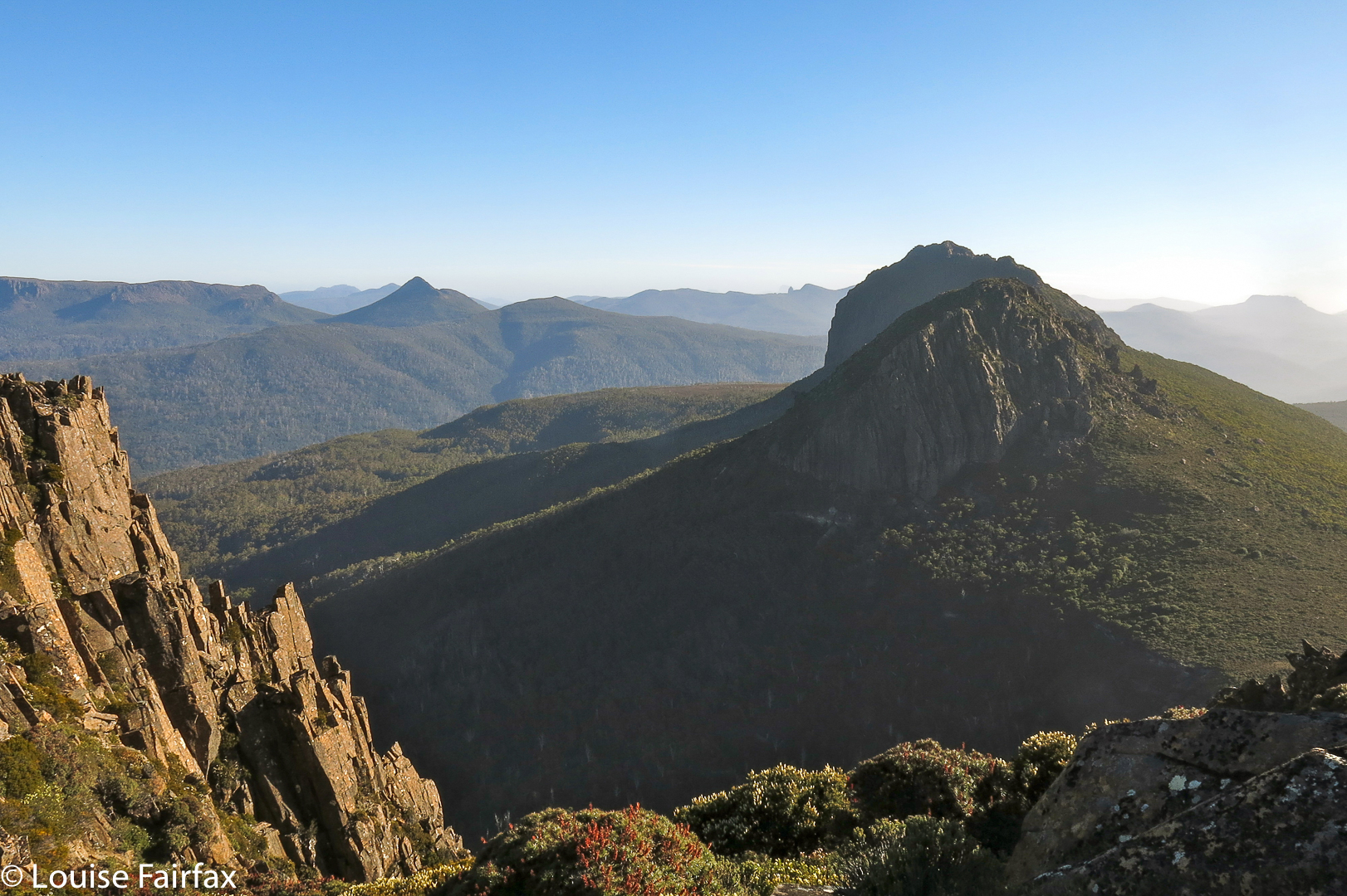
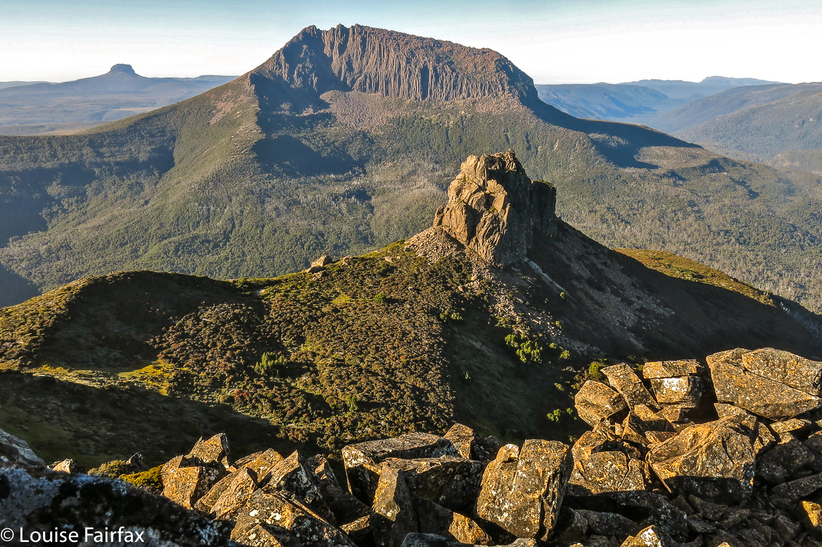
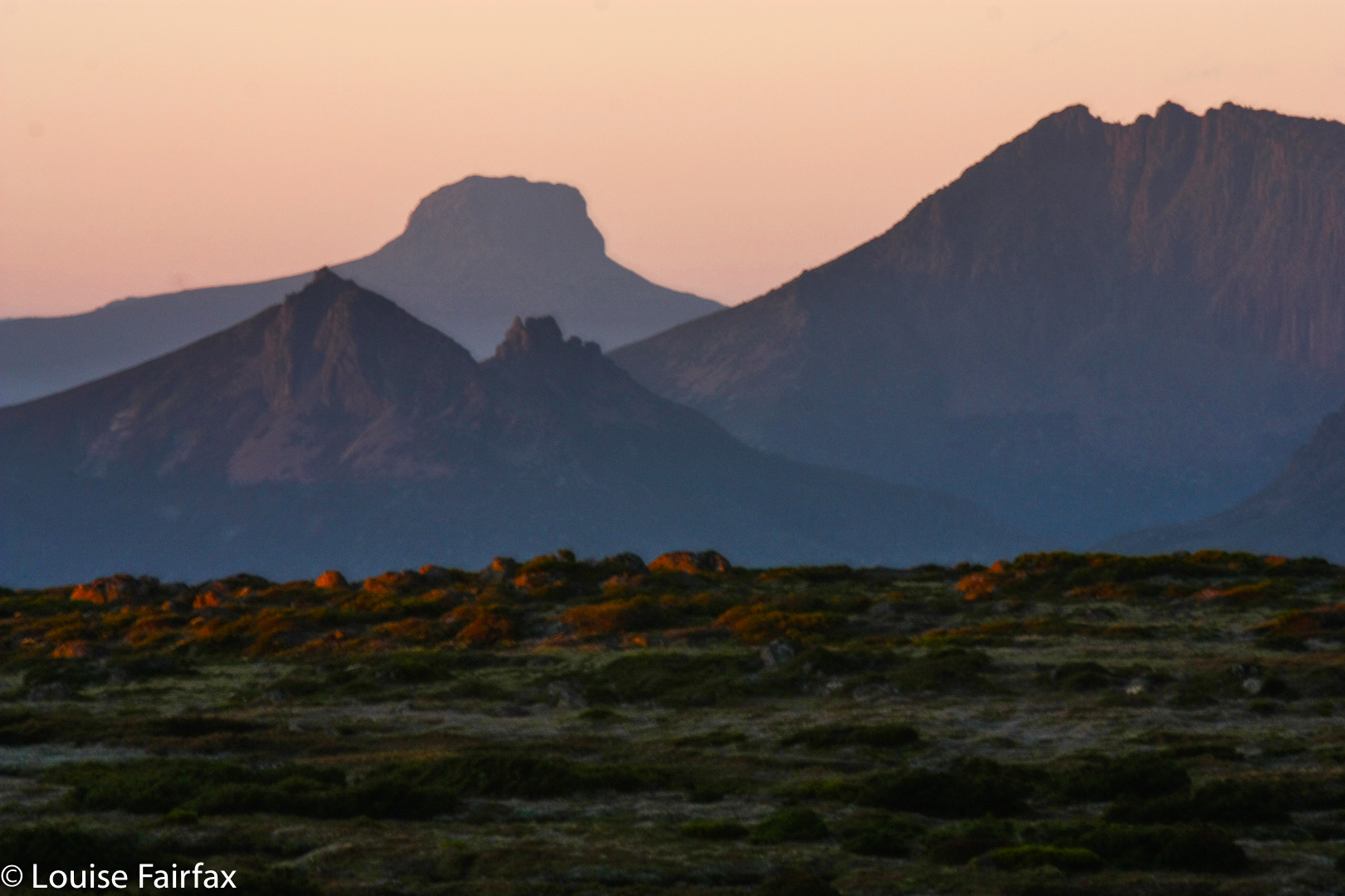
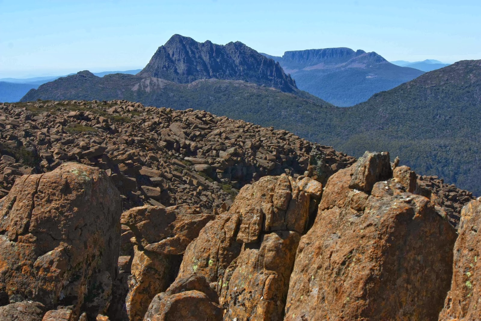
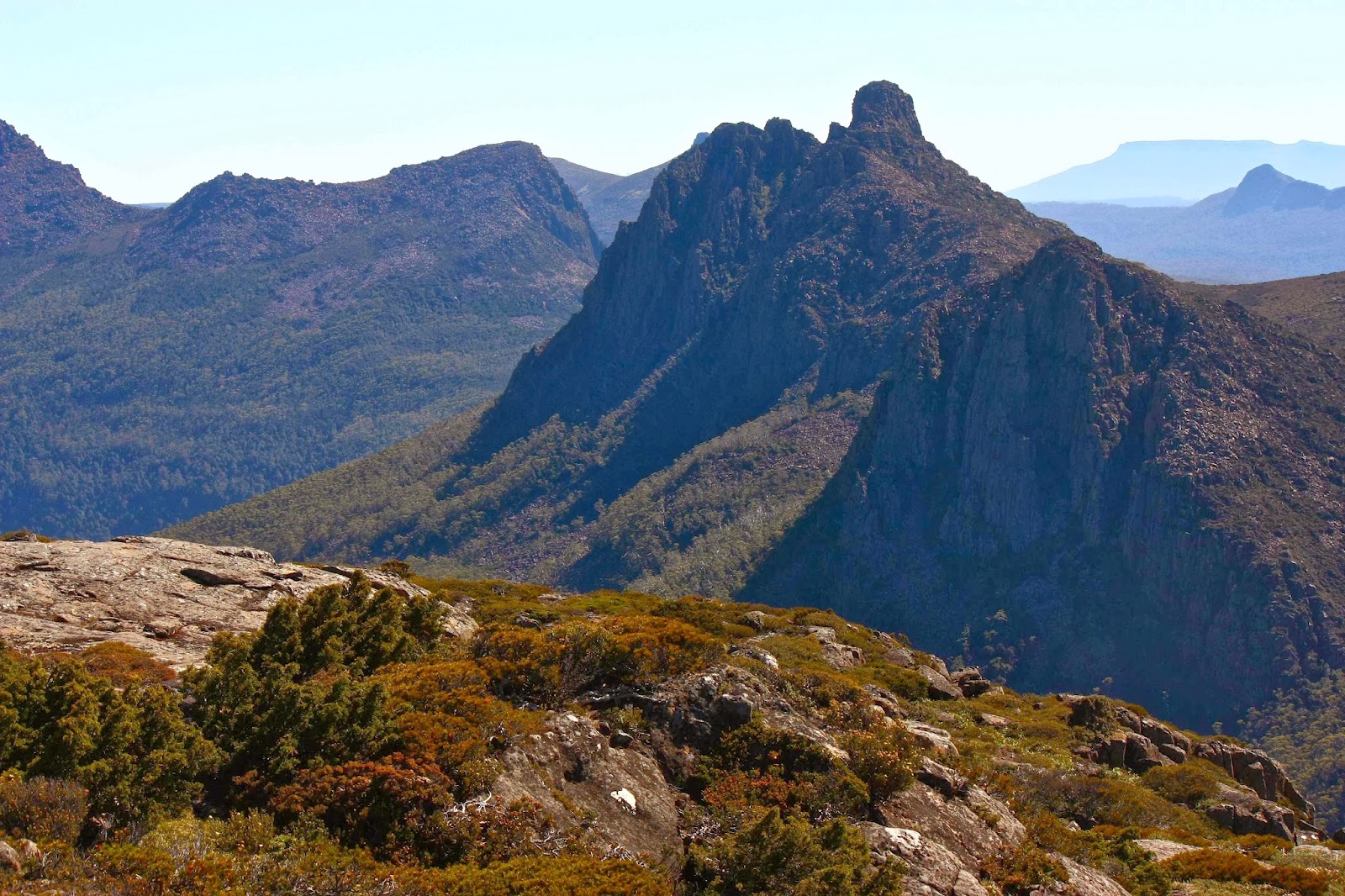
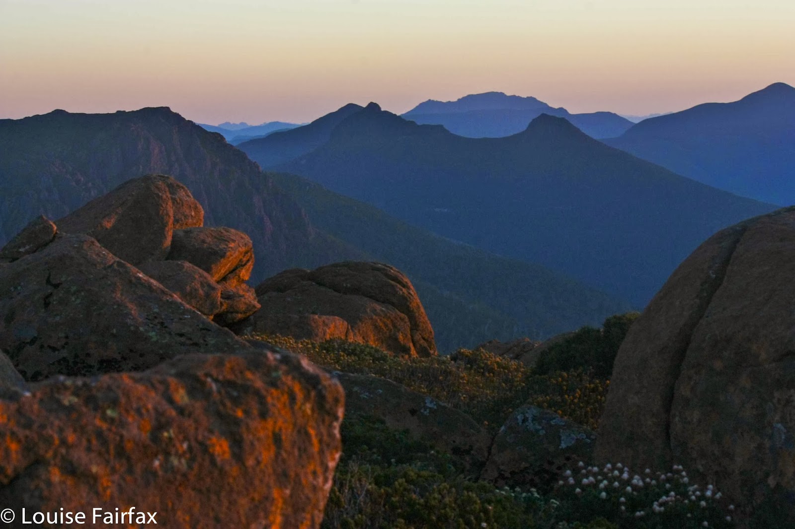
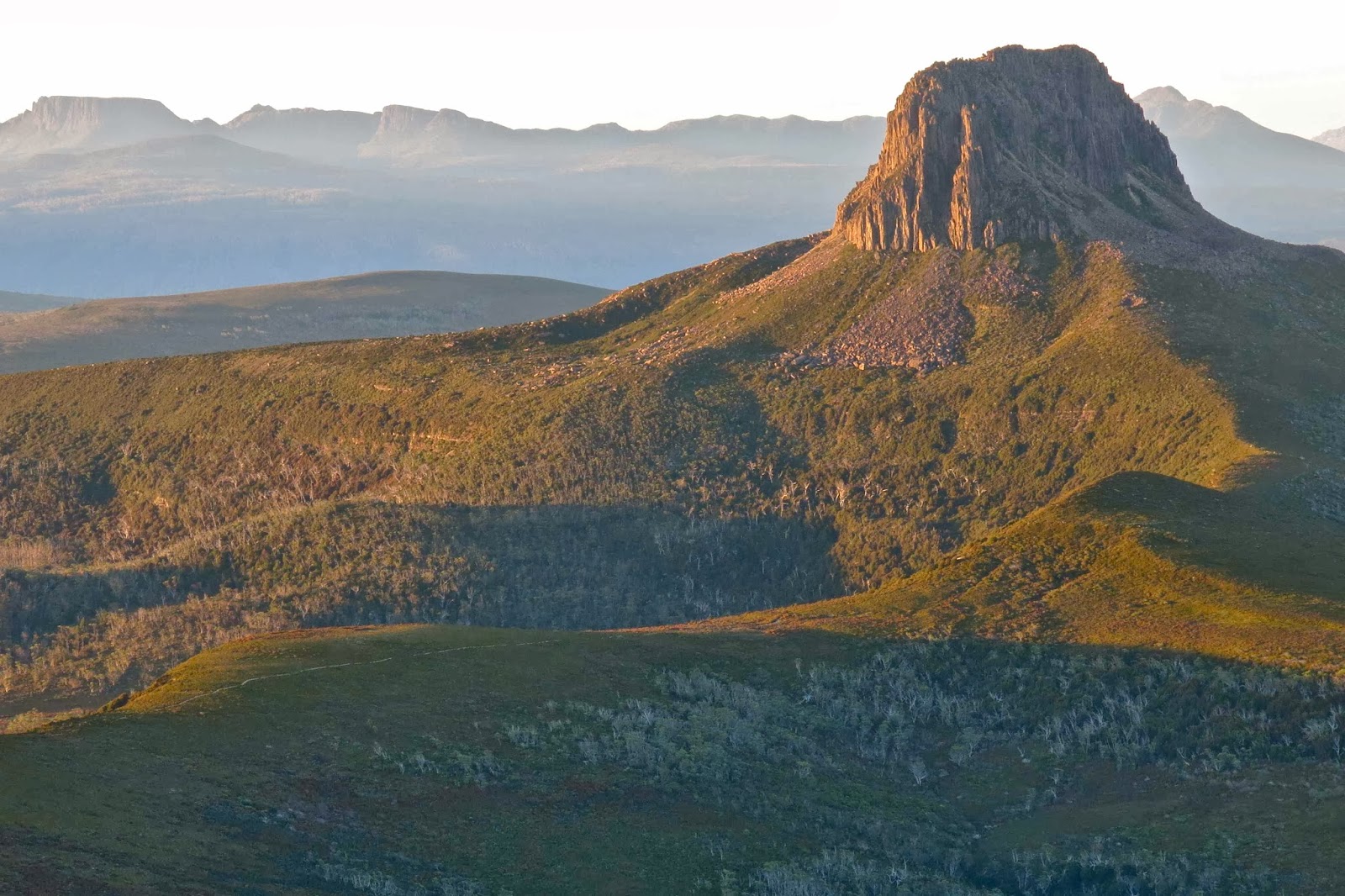
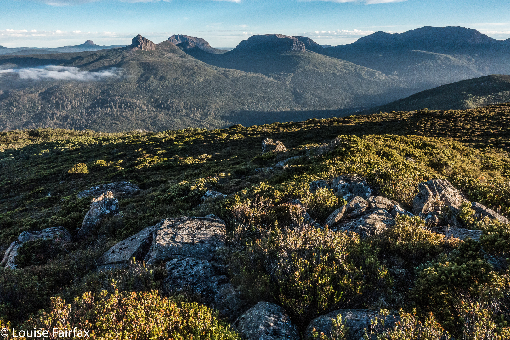
Barn Bluff and the Du Cane Range in evening light
I have been planning to sleep on Cradle Mt for a very long time – so much so that I’d even bought a second little solo tent for the expedition. My plan was that I would go with my husband as far as Kitchen hut, and that we would then have to separate, because there’s no way that a man with Parkinson’s disease could get up that rocky jumble with a heavy overnight pack and lots of water needed for eating at the top. I’d watched too many tourists without packs struggling with the slopes to imagine that he could conquer them weighed down with overnight gear. I had no qualms for myself, as the one point where i had had to summon a special oomph push to get up a rock that was a bit too big for me (after the saddle) I thought I could evade. Otherwise, I’d push my pack up the slope ahead of me and do that single effort packless. I hoped I could get around it by climbing to the right. Time would tell.
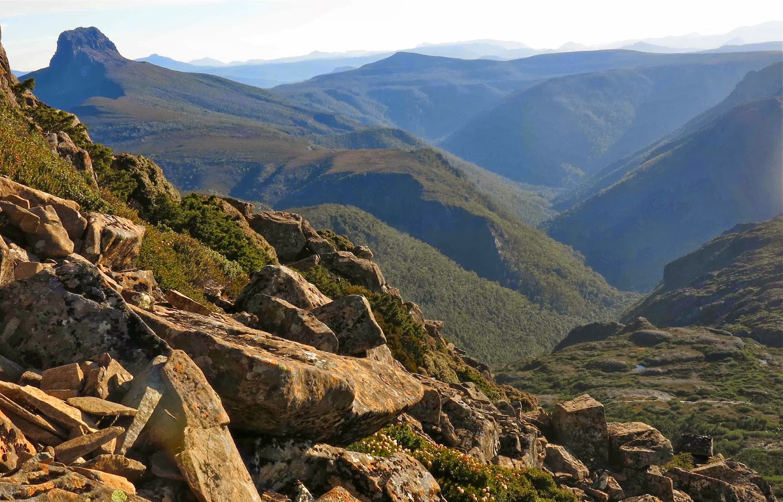
Fury Gorge
My husband, however, had other thoughts on this matter, and told me he reckoned he could do it. I believed him. Saturday was to be the day. Sunday was going to be much too hot for climbing anything, so I suggested leaving Launceston mid-afternoon Saturday, climbing after five, sleeping at the top and coming straight home after breakfast, before the day got uncomfortably hot. It was a deal. 
Because it was latish when we arrived at the park, there was no trouble getting through the boom gates and right in to Dove Lake. We were ready to roll in mountains already emptied of the madding crowds. 
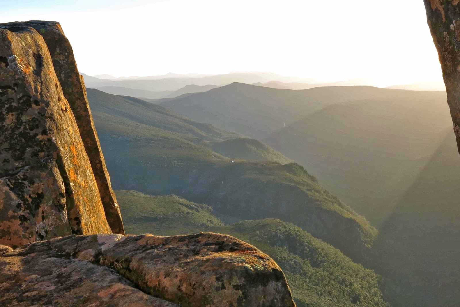
As I feared, water was low. I’ve never seen it so dry up there, actually; every tarn was empty, every stream but one, dry. We drank at the one stream and filled our bottles up, taking 3.2 litres for two, which turned out to be more than we needed, but better more than not enough. Perhaps the climb would be thirsty work. We tipped some out before descending next morning. 
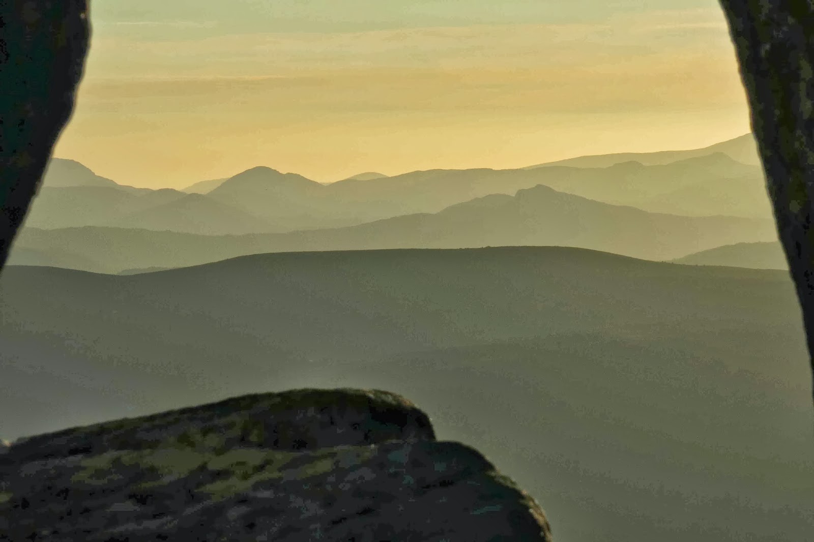
 

Rock curtains unveiling a scene of beauty
So much for my misgivings about my husband’s ability to cope. I was the one who had to take her pack off to do some manoeuvres – three times on the way up and twice coming down. I think this was partly because when my pack is on, I stare too much downwards rather than outwards, so failed to choose the kind of routes that I choose when unencumbered. My taller husband passed my pack up to me, and then did the same trick with no help at all. I hadn’t even noticed that these potential problems existed when prancing around packless, but it’s surprising the difference a weight like that makes to a climb.
 
Celmisia saxifraga providing extra colour on top 
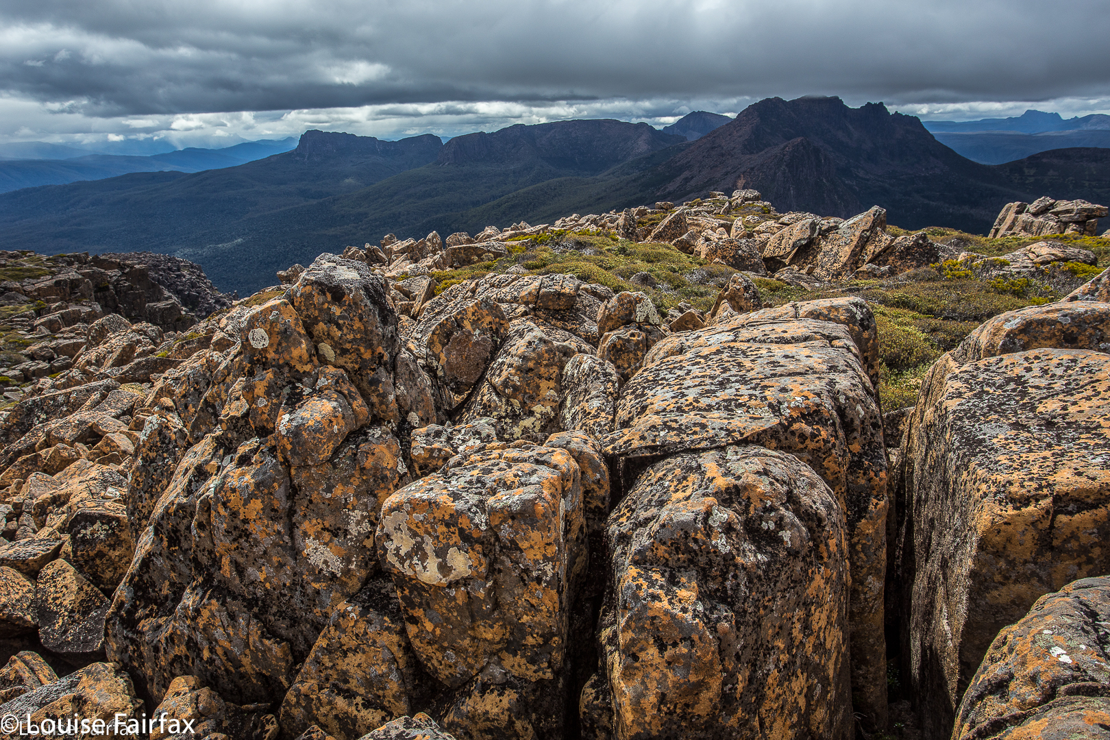
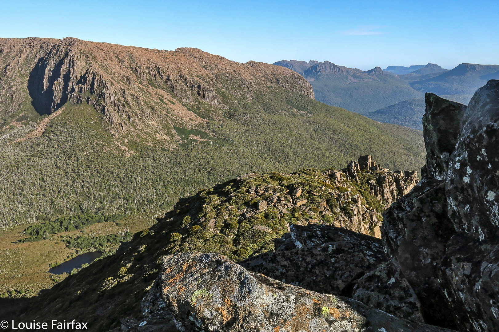
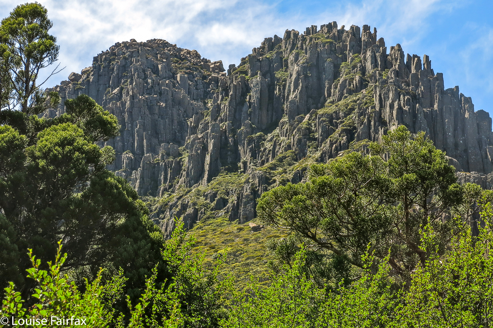
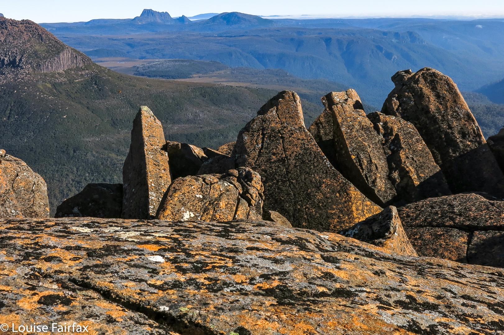
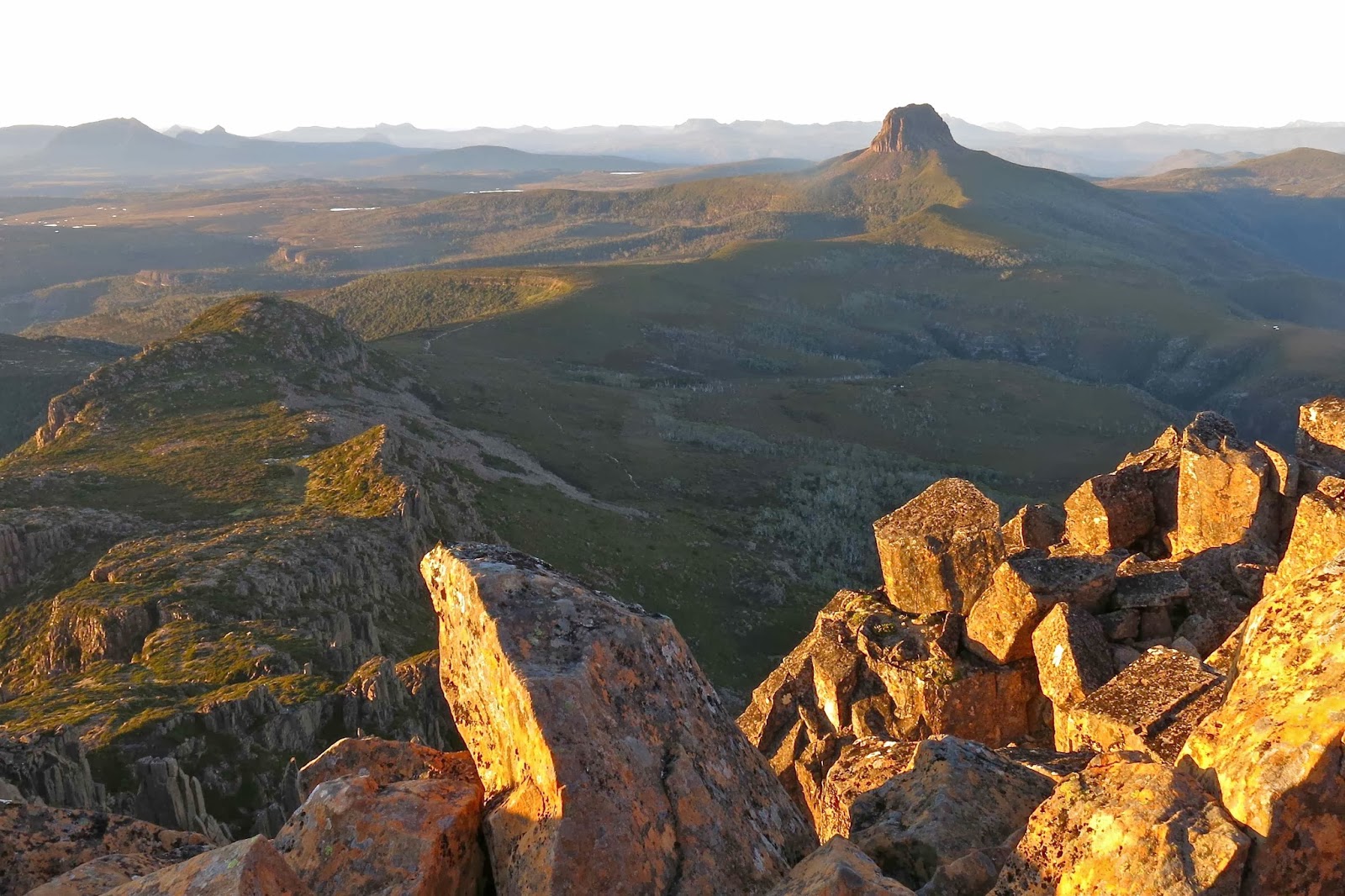
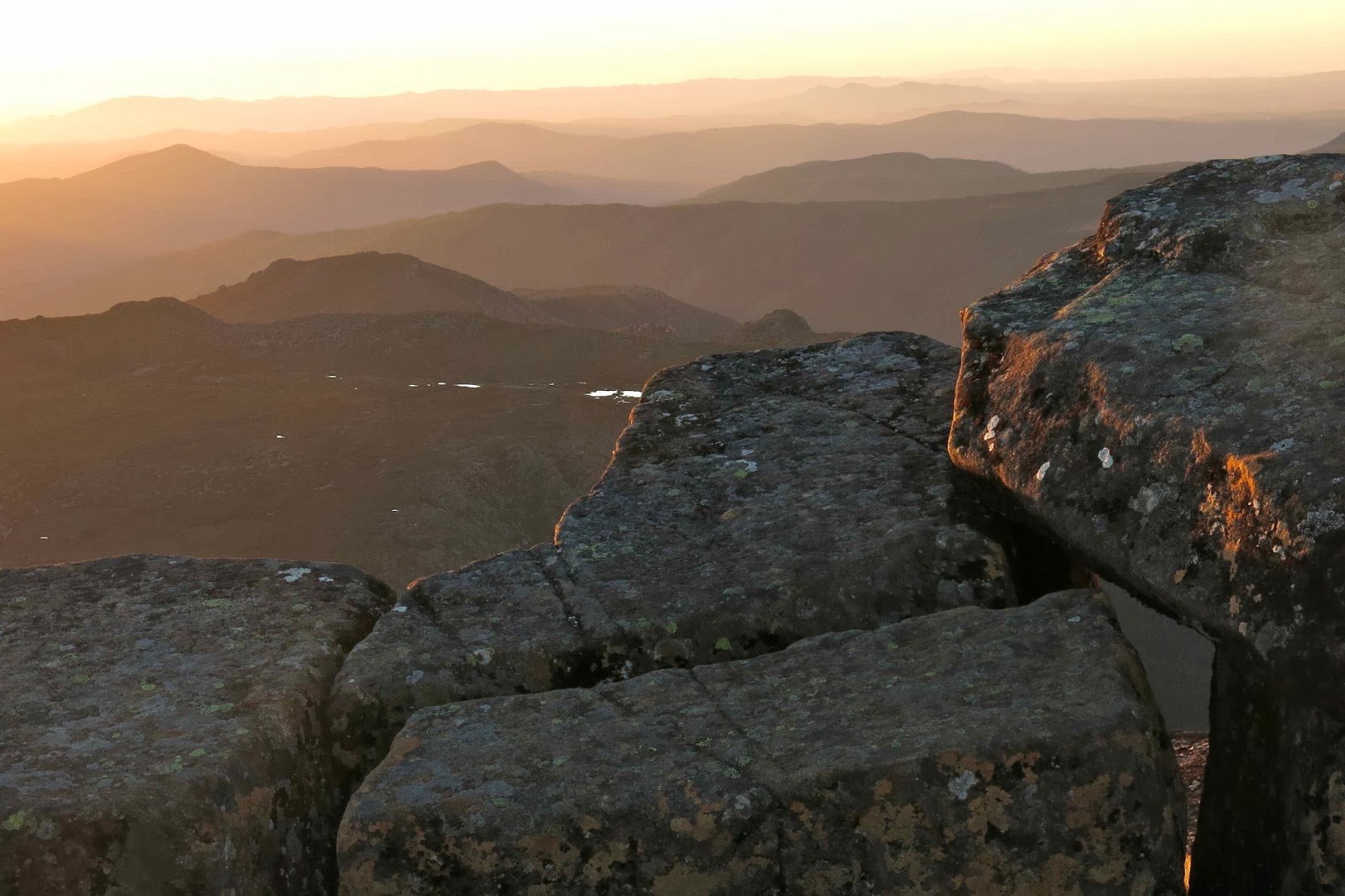
I love the way that Cradle, like so many of Tassie’s peaks, hides its summit until the last second. You climb and climb (having huge fun while you’re at it) with your face into the rock. If you do stop to look around (which I am loath to do, as I love climbing too much, but I do stop to make sure my husband is fine somewhere down there) then you only see at best a partial view. Mostly you see shapely and colourful rocks, which are marvellous in their own right, but the view itself remains hidden. Up you go, wondering exactly where the summit is, and suddenly you’re there, and the whole world of view opens magically out before you. When you’ve climbed in the evening light, this opening of the curtains to a land of wonder is all the more special. 
 
We didn’t just have that glorious mountain to ourselves: it felt as if we had the whole world. Everything felt especially spacious and grand as we perched ourselves on a rock and gazed out to an infinitude of mountains, most of which are now old friends. 


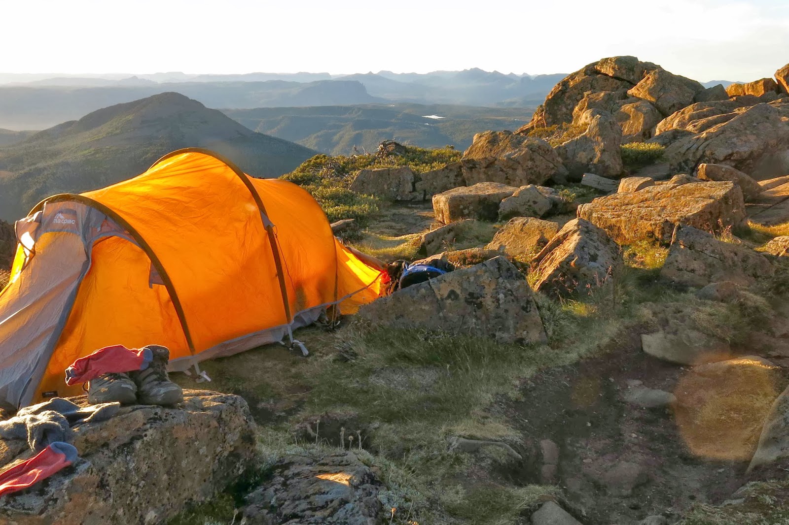
Somehow or other we took our eyes off the scenery long enough to pitch our tent between rocks and cook dinner, but mostly we just sat and watched nature’s performance.
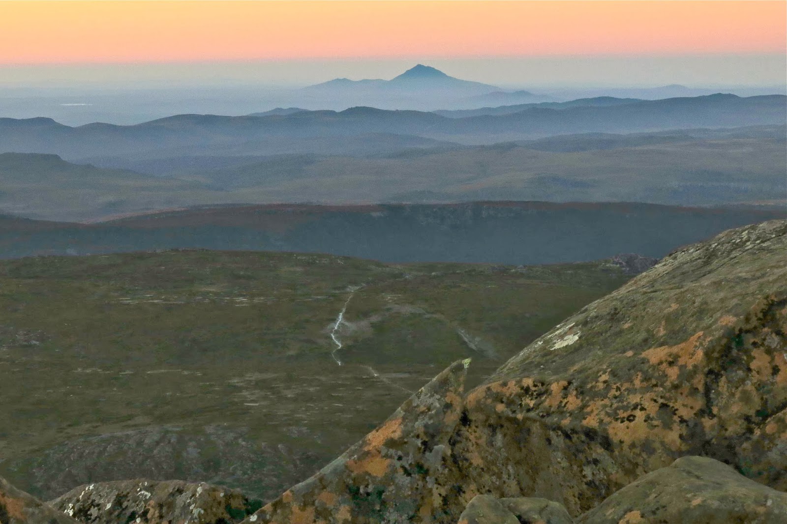
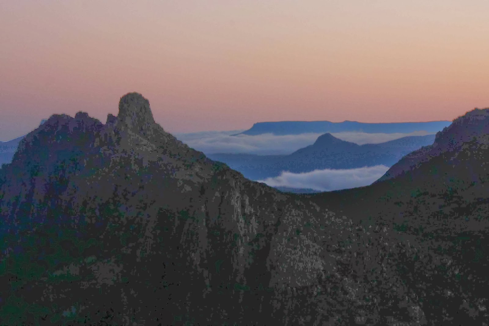
Valentine’s Peak rising out of the mist 
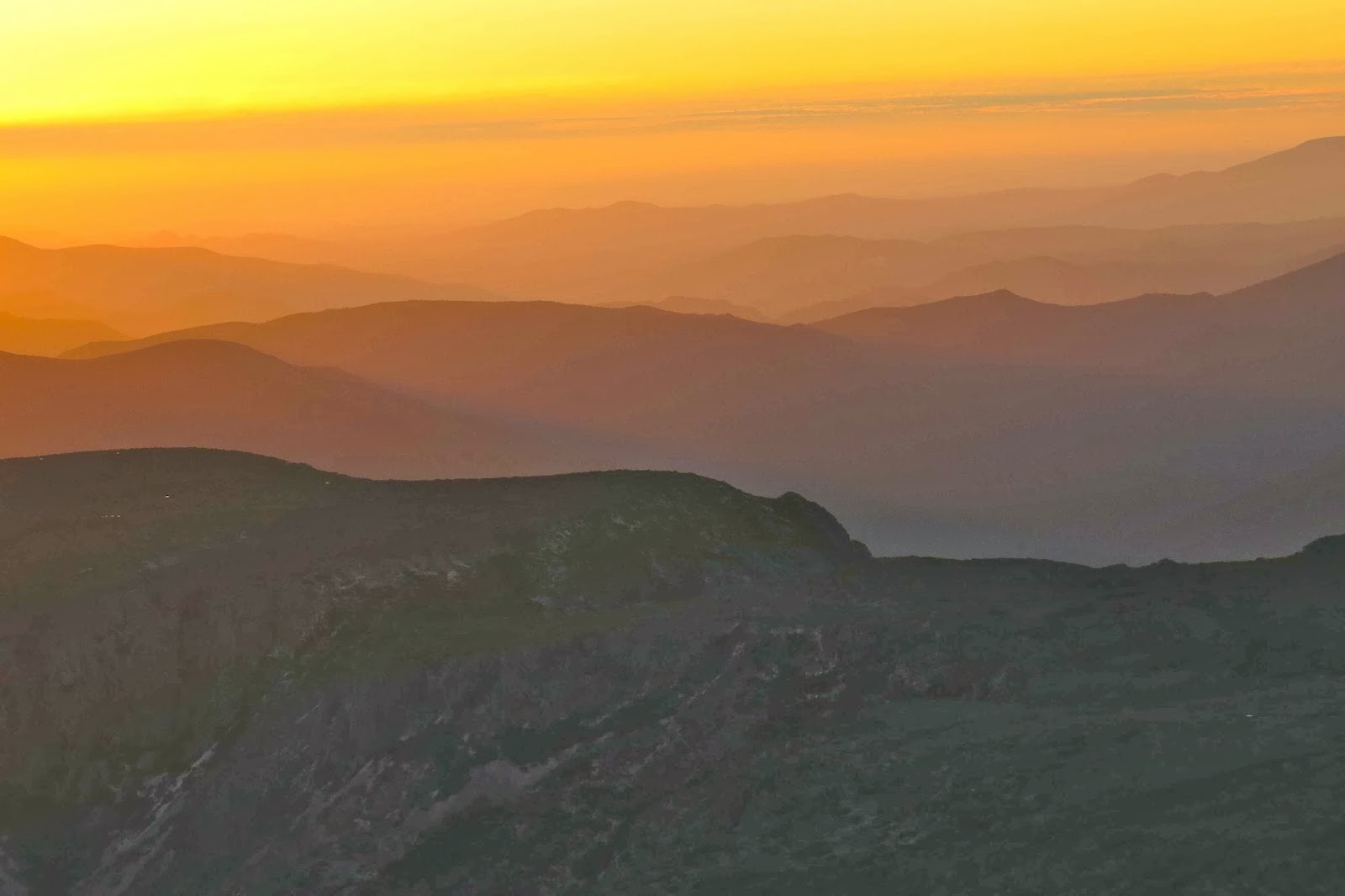
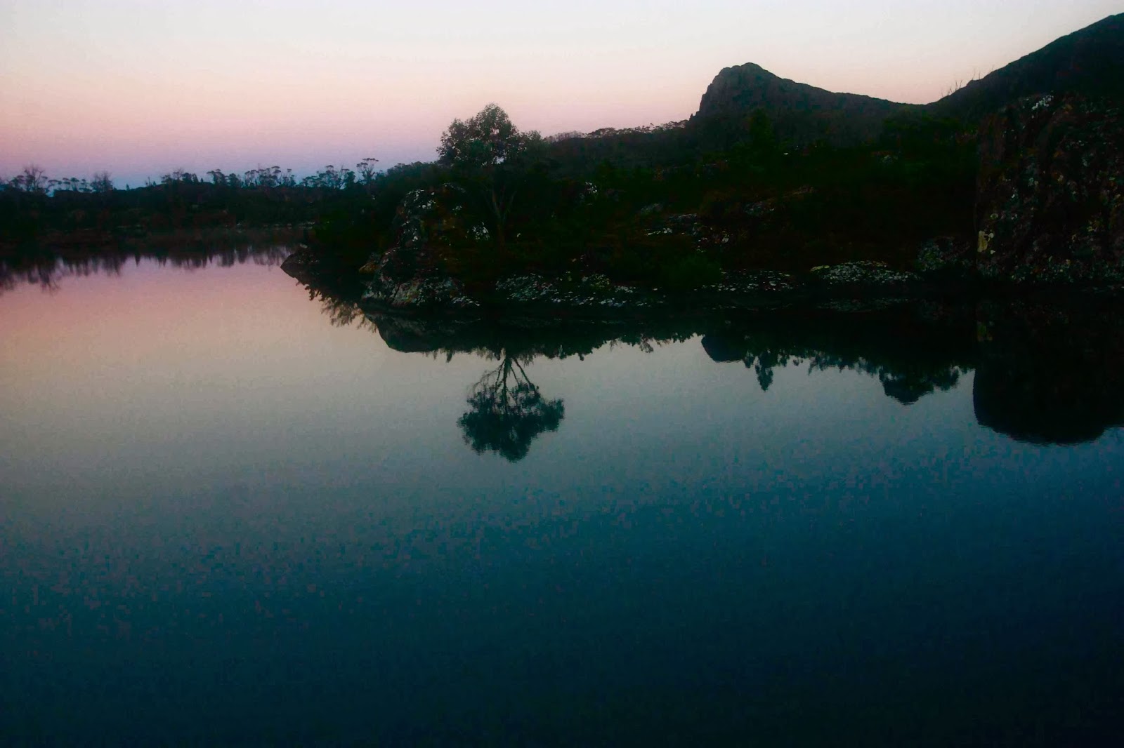
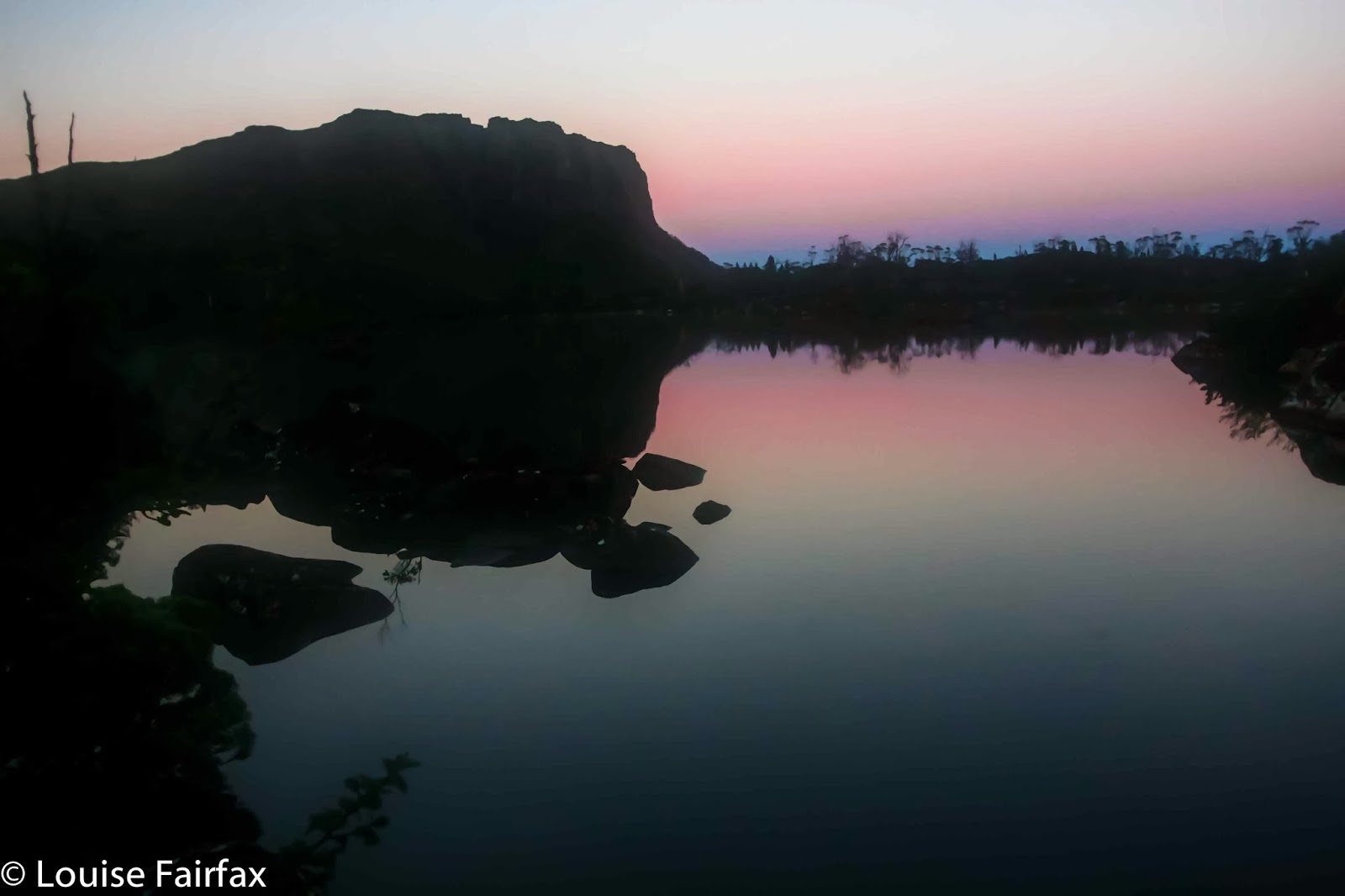
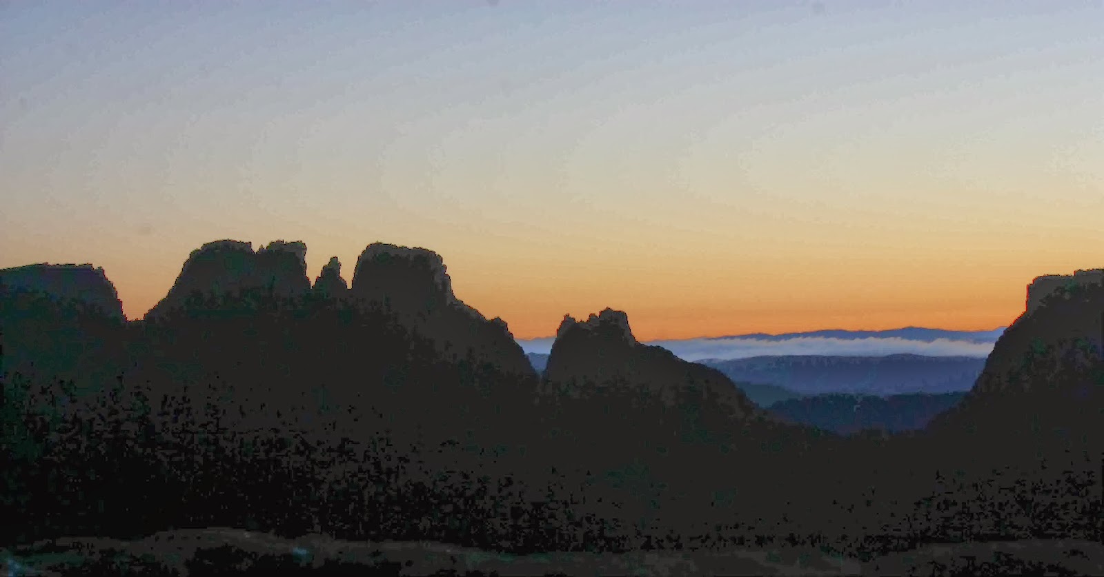
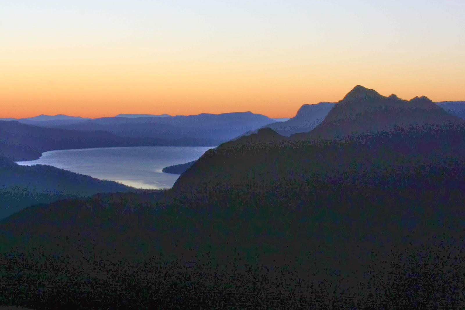
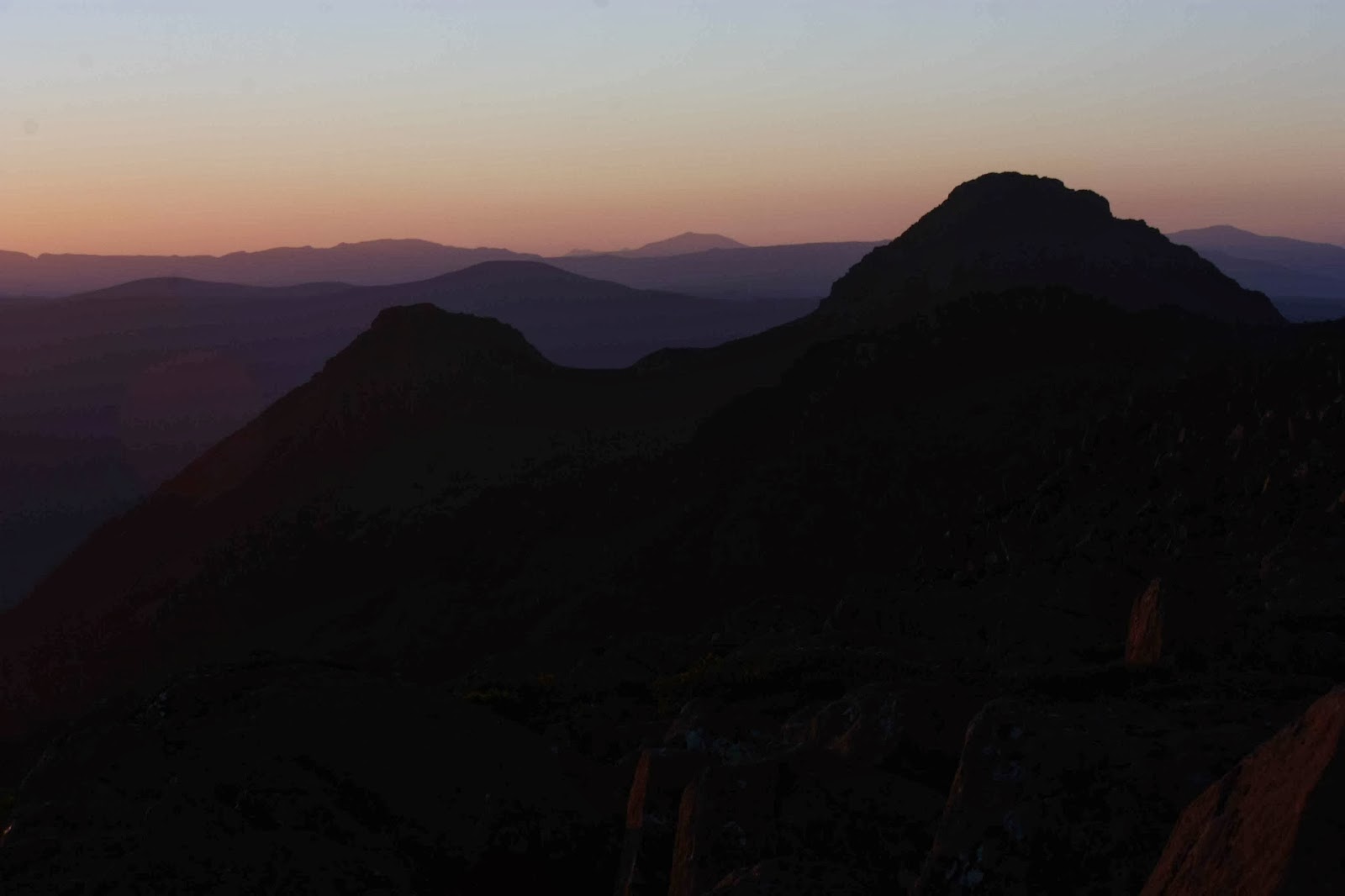
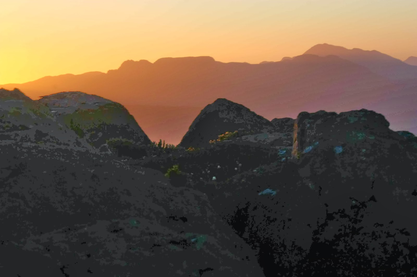
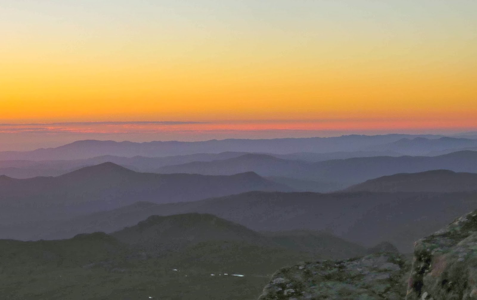
There is really not much in life that beats sleeping on the summit of a mountain. I just never become inured to the pleasure of being up high at the close and opening of a day, of dining on high as the sky changes colour and the stars come out and the mountains become a series of mystical silhouettes enhanced with the warm colours of the setting sun. 
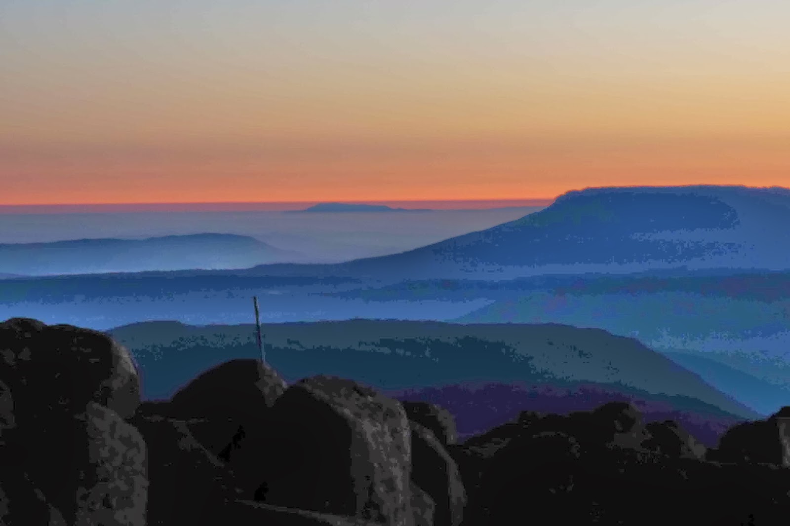
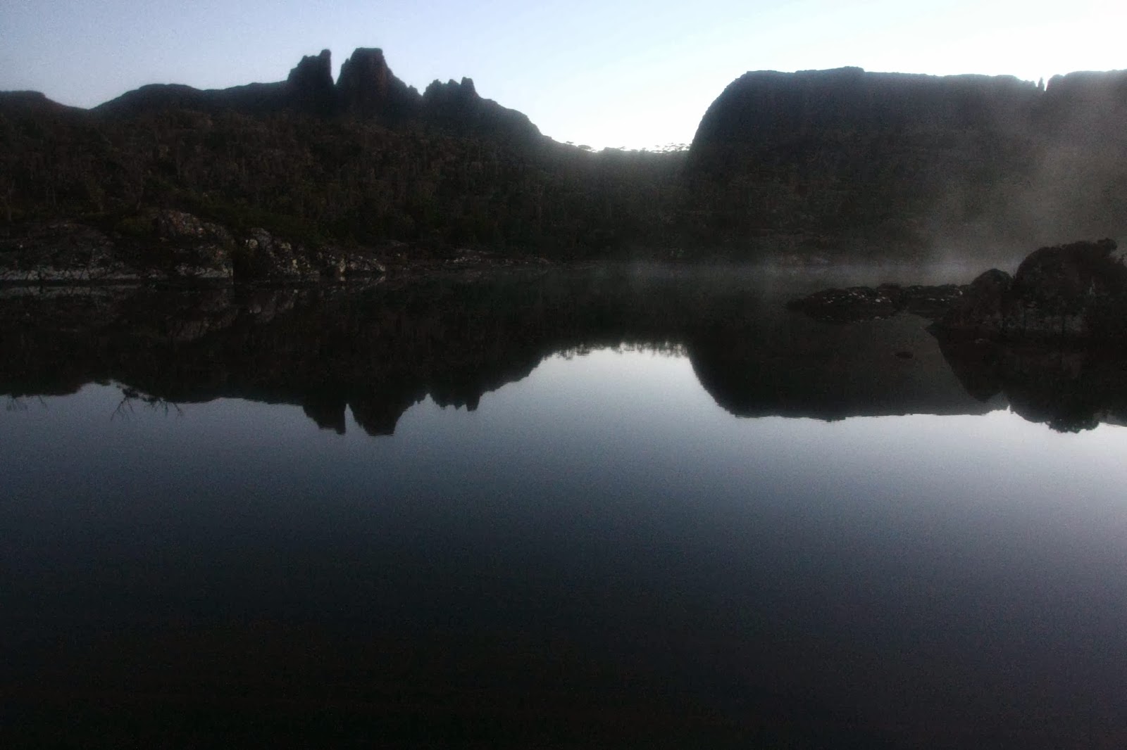
Dawn. Mt Arthur can be seen swimming above the low mist centre back. Western Bluff is nearer, and to the right. 

Later, as dark advanced and the stars made their appearances and the last pink of the sky faded, we sang together, as is our habit on mountains.
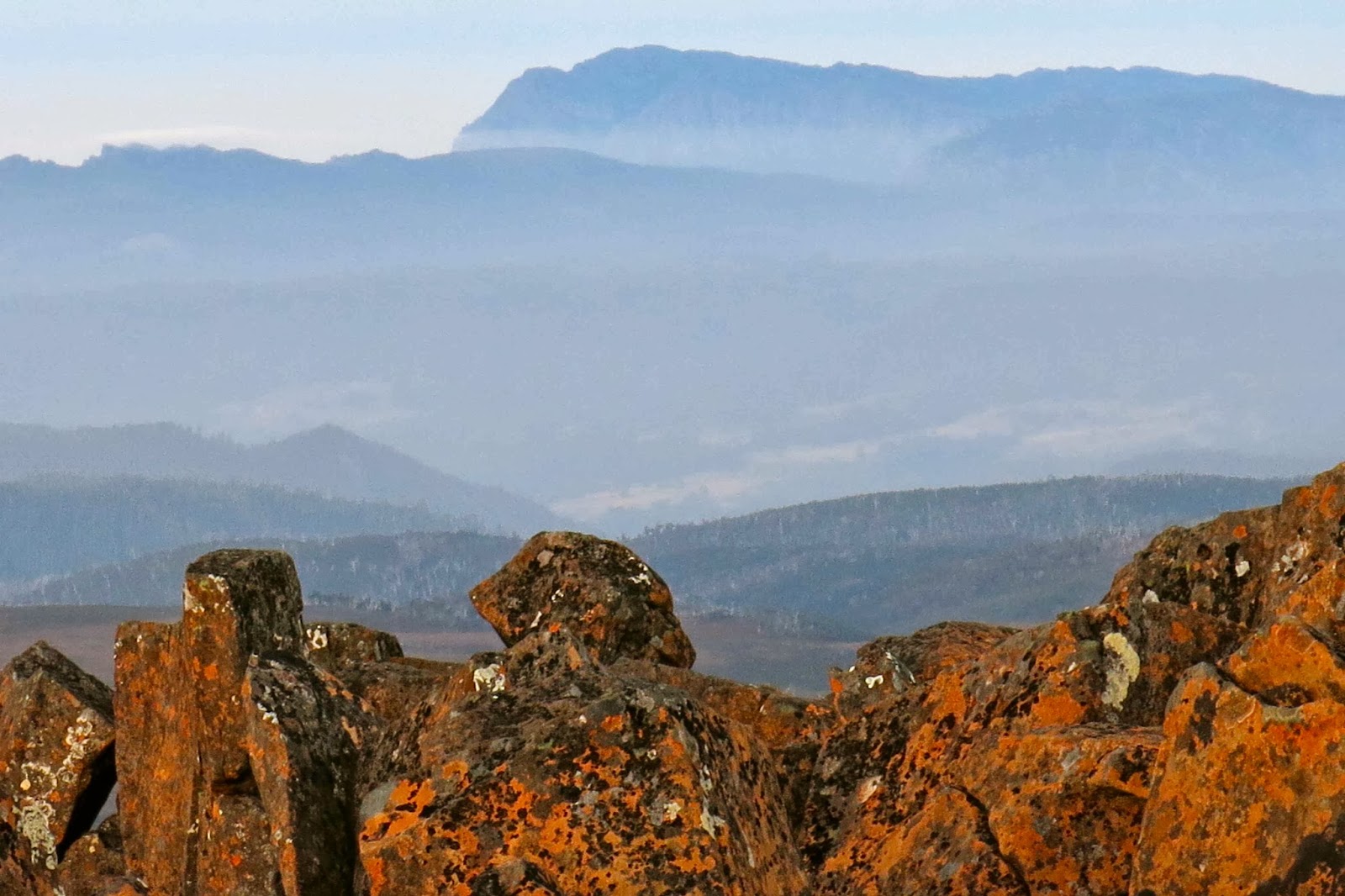
Dawn arrives at Mt Roland

The cliffs that were around us offered nasty plunges to the valley way below, offering certain death to anyone accidentally stepping over an edge. My husband was on strict instructions not to go out of reach of the tent if he needed to get up during the night. We both got up around 3 a.m., actually. It was a moonless night and the stars were particularly wonderful. For me, seeing the stars in the middle of the night is one of the many pleasures of tenting.

The same gazing in wonder procedure was on the programme from 5.45 next morning to watch the day begin, and then it was time for breakfast, descent, and a swim in the lake for my husband.
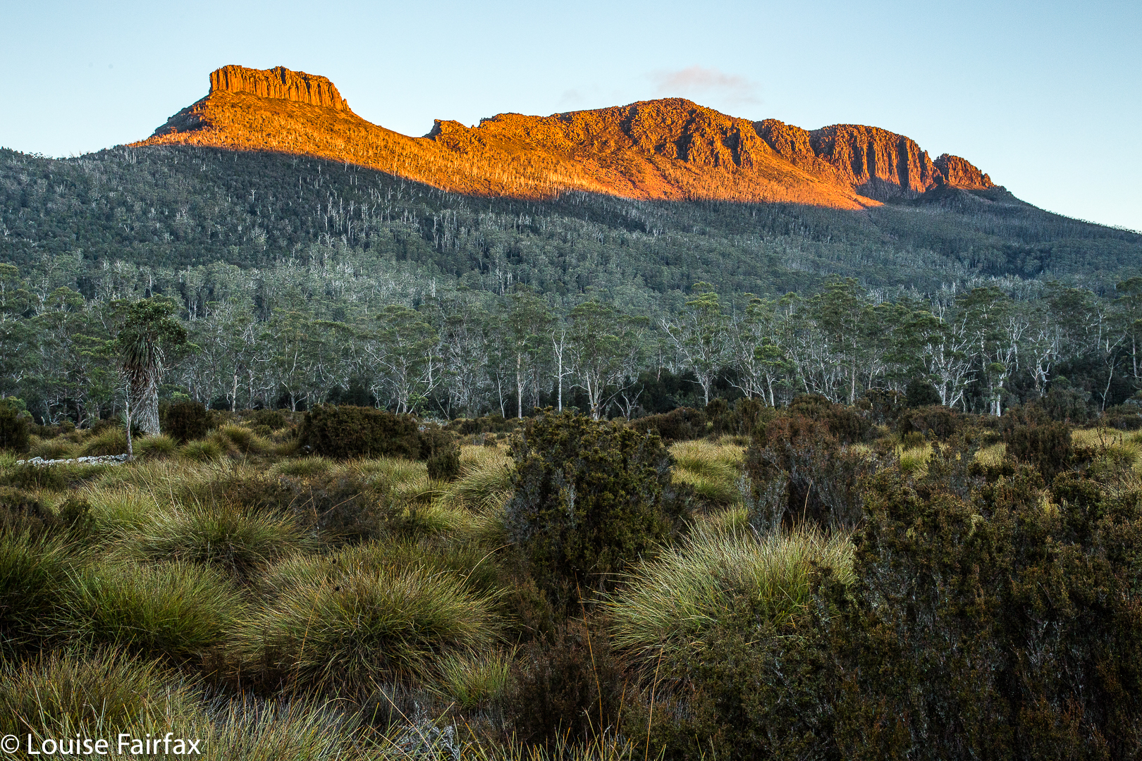
Thetis 2014 Jan

Mt Thetis, Jan 2014.

Mt Thetis and Paddys Nut from below.
Mt Thetis is a mighty mountain, and, like many mountains in this area, has a name whose provenance rests in Greek mythology. For there, Thetis was a female immortal and the mother of the famous warrior, Achilles.

Thetis and more from Urquarts Messa
Thetis must have been rather lovely, as both Zeus and Poseidon (gods) courted her, but they backed away when they heard that there was a prophecy predicting that Thetis would bear a son that would be greater than his father. These gods were a little insecure, and couldn’t cope with the notion of having a son who would outshine the paternal glory.

Thetis (et al) from Mount Massif
Luckily for Thetis, King Peleus didn’t seem to have such ego issues, and was content to father such a son (named Achilles, once born). Why am I telling you this? Because I find it very sweet that the mountains Thetis and Achilles are next to each other. I find it very interesting that the mother is bigger and more important than her son (with respect to mountains). The mountain Achilles has a heel, so I guess that explains the name there, and so the neighbour was going to be Thetis whatever its size.

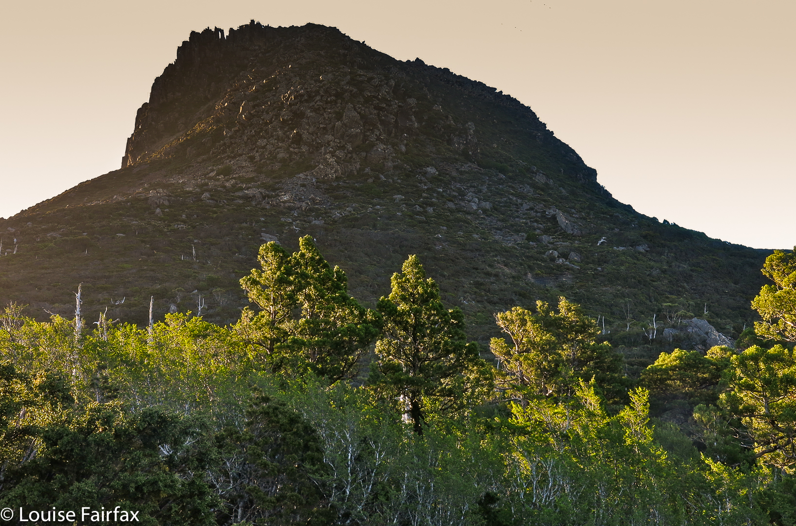
Thetis from Mt Achilles
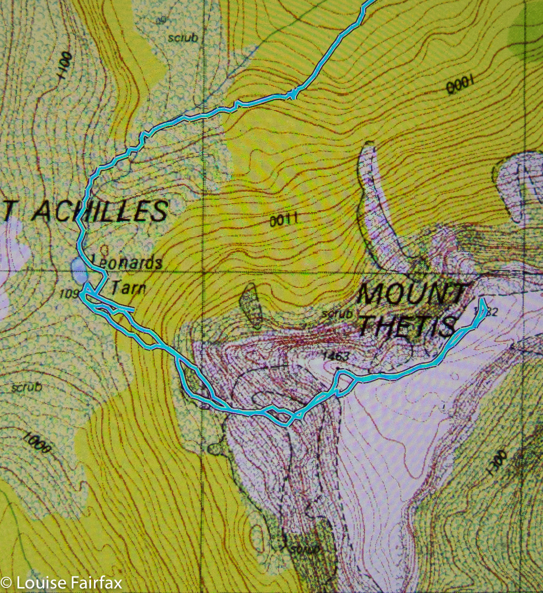
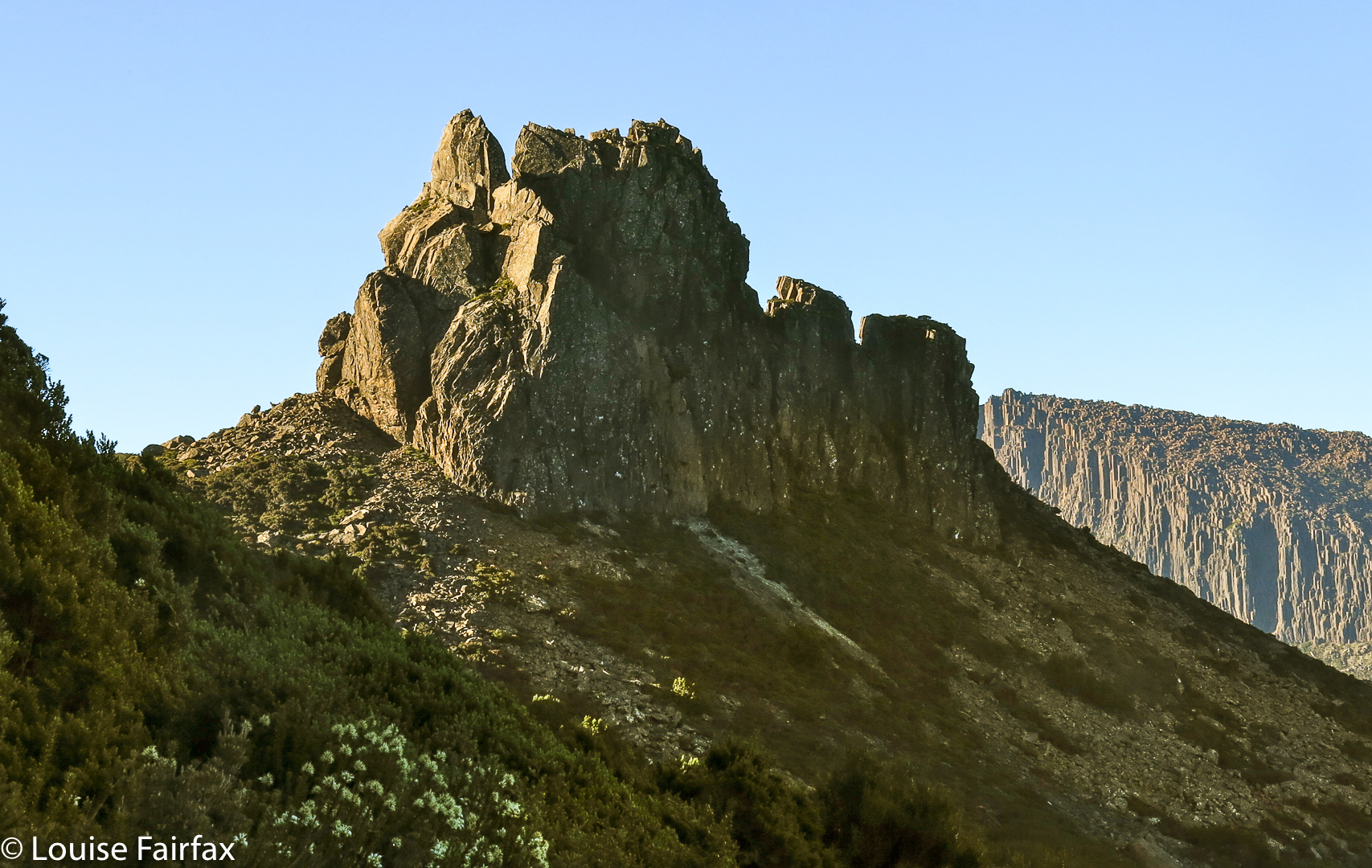
I wonder if the real Thetis was as unapproachable as this mountain. It’s obviously not impossible to climb – we got up – but we had to think and plan our route, past the many palisades protecting the summit area, and we needed to negotiate thick scrub below, and cliffy obstacles up high. Sometimes you felt you were in a bit of a maze and wondered if you were going to find a lead to the summit area.

Thetis from below (Leonards Tarn – zoom)
Once we saw the gully we wanted, we knew we had succeeded. By the time we got there, it was already too glary for nice photos. The photos here are a selection from that summit day, and from other days on which I looked back at Thetis with pleasure, knowing I had summited her. I will go back one day and do it again. I’d actually like to camp on top and see the sunset views. Lugging a pack up there, however, would be one awesome task. Some of the cliffs require a huge oomph factor, which I am not sure I could do with a full pack on.

Thetis: summit view
To get the climb in the context of the expedition, on which we climbed Perrins Bluff, Achilles and Thetis, see:
http://www.natureloverswalks.com/perrins-bluff-mt-achilles-mt-thetis/


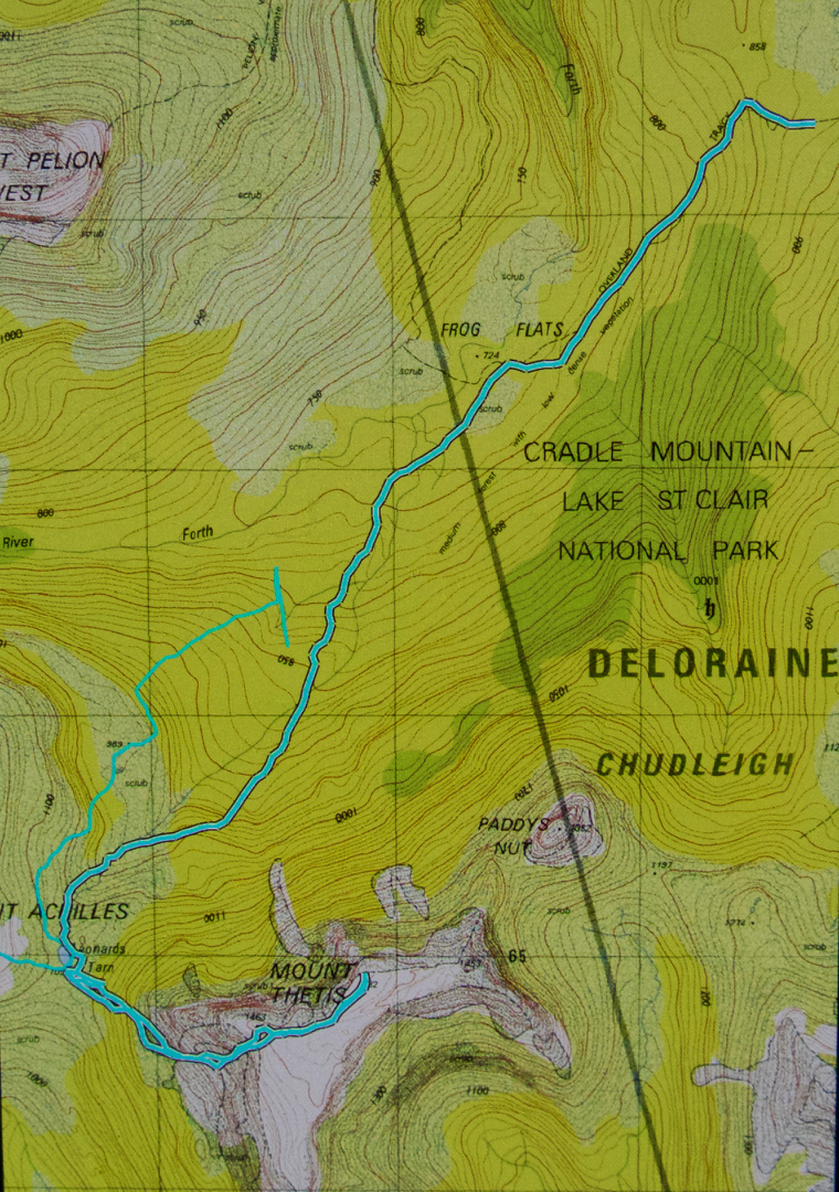
Detail of route up and down Thetis from Leonards Tarn.

Achilles 2014 Jan

Mount Achilles January 2014


Near the summit of Mount Achilles
I climbed Mount Achilles on the rebound after summitting Perrins Bluff. In fact, we wasted so much time that afternoon waiting for two people who were not actually with us that I feared we had timed ourselves out of this climb, and I was full of a combination of impatience and disappointment. I felt a particular attainment to Mount Achilles – perhaps because  the name Achilles is so well known from Greek mythology and I greatly enjoy the whole story, and additionally because it is so very visible from the Overland Track at Frog Flats. I love the fact that Achilles’s Heel is so prominent; after all, you couldn’t call a mountain Achilles if it didn’t have an attractive heel. Achilles without his heel is almost nobody. I also like it the Achilles is next to his mother, Thetis. I wanted to climb this mountain full of mythology and connotations.

View down to the heel.
But, we let the sun drop and drop as we waited for these people and I gazed out at Achilles, wishing myself there but giving up on her as a possibility. At last the two arrived from the mountain they’d climbed and chatted with the people I was with, and finally, we got to move on in my desired direction.

The heel on the way down.
And yes, when we reached the base, there was definitely time for an ascent. Full of desire and impatience, I scrambled quickly up the nearest possible chute, which was definitely not the best possible option, and was, in retrospect, quite dangerous, but I was so full of summit angst by this stage, I cared for nothing else, and forged on, soothing my frustration in purposeful movement up the very loose slope.


Achilles from our tents below.
Once on top, I was very glad the sun was in its current position, as that meant the light had a golden tinge to it, and interesting shadows were starting to fall. I was at peace at last, and the small group I was with lingered there until practical considerations (like light and dinner) forced a descent. We did not descend via the self-destructing chute of our way up, but used the bushes to retard our progress down the very steep slope to camp.


Mount Achilles, as seen from afar, along with Barn Bluff and Pelion West.
For  description of many aspects of the full trip, see
http://www.natureloverswalks.com/perrins-bluff-mt-achilles-mt-thetis/

Macs Mountain and Walled 2014 Jan

Macs Mountain, Walled Mountain and more

Mt Eros from Lake Elysia, dawn.

It might surprise many readers to hear that I gave up bushwalking on Saturday evening. The problem wasn’t that I’d been wet for two days – I’m used enough to that. And it wasn’t that I hate my little tent that gives me the freedom to sleep wherever I want in the wilderness, or that I was bored in its confines with my husband, cooped in there from 3pm after we’d given up ploughing through wet scrub in the rain. I’d brought a great book that he read aloud so we could share it (Max Frisch’s Blaubart / Bluebeard). No; I was frustrated by my own ineptitude that had landed us so often that day in cul de sacs of impenetrable scrub. I decided I was a lousy bushwoman, and incompetent leader – a race horse that should now be sent to the knackers. Time to drop out.


Mt Geryon and the Acropolis, dawn. (Labyrinth)
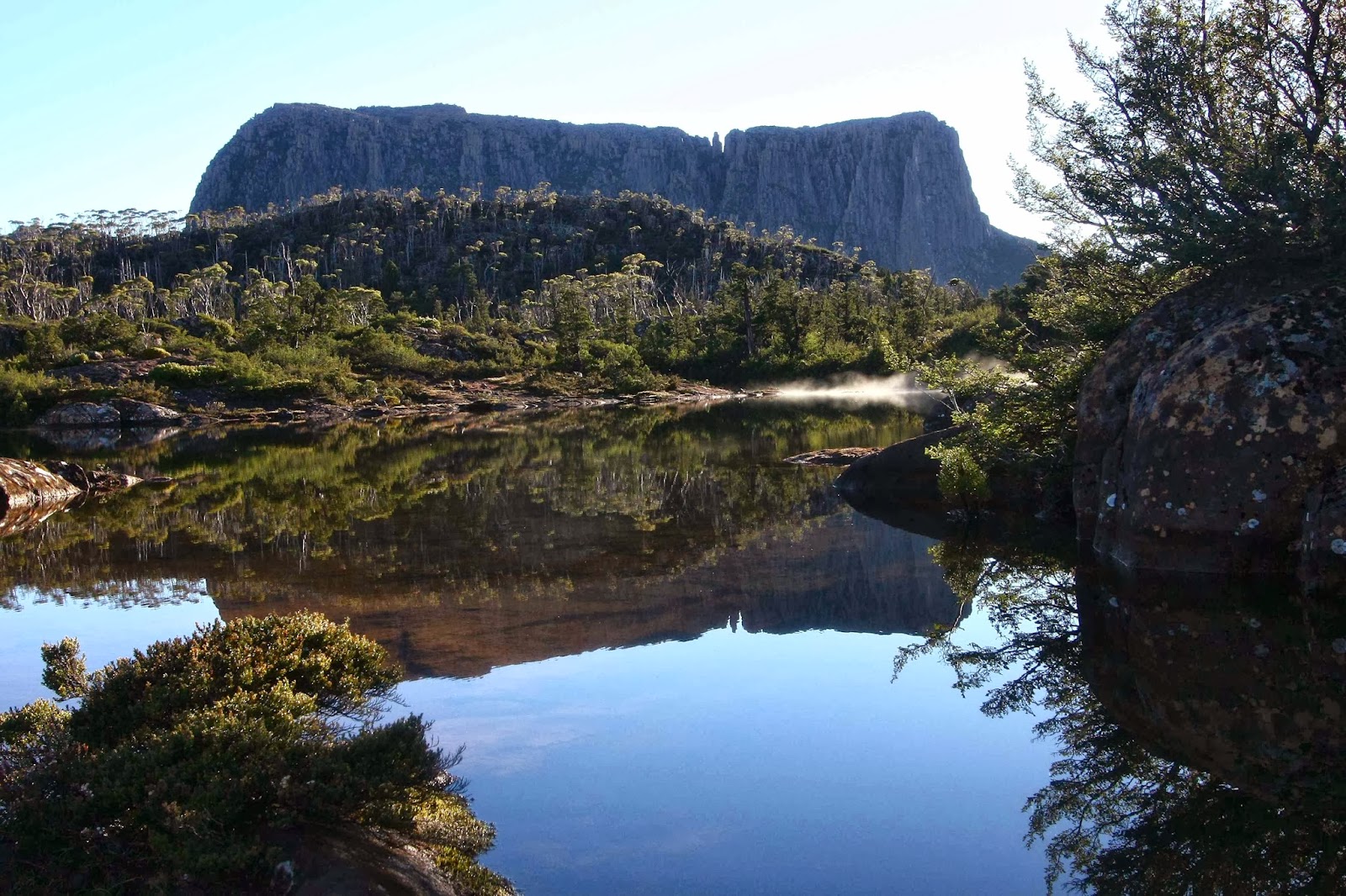
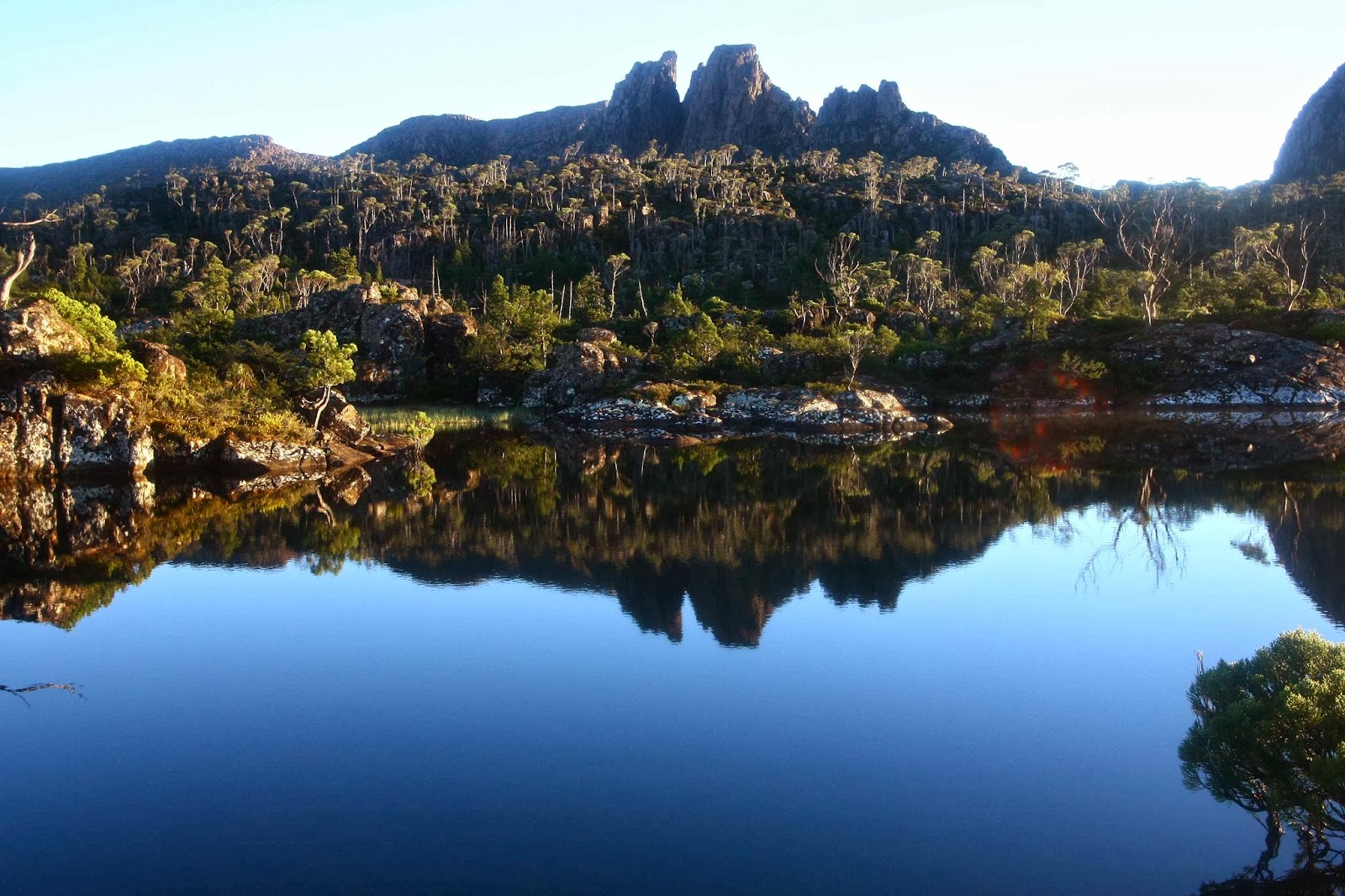
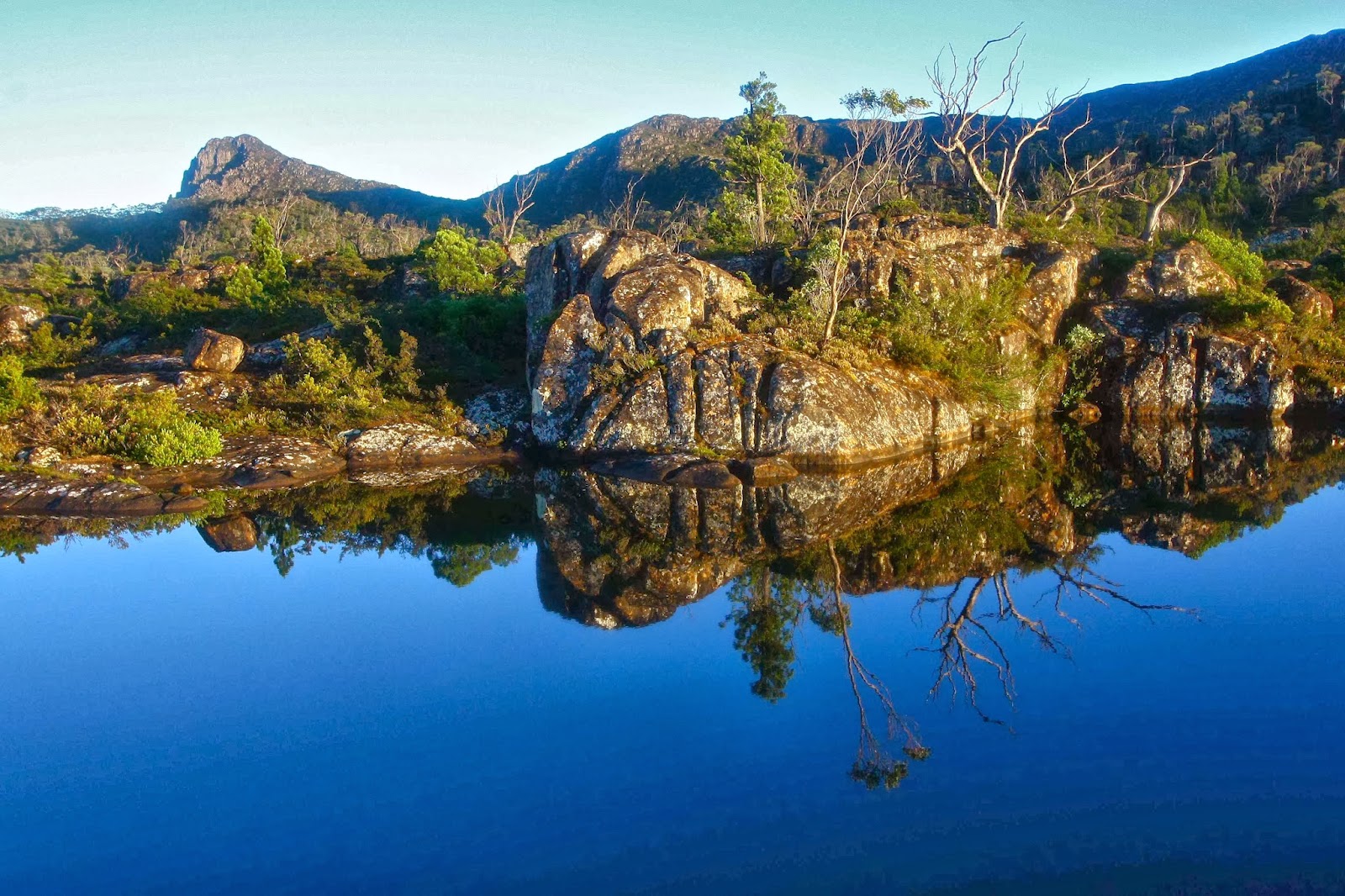
I took up bushwalking again at 5.30 next morning. My husband woke me and told me to hurry outside. I grumpily looked out of the flap, still too sleepy to be easily impressed. That quickly changed. The air was crisply, wonderfully clear. The tarn that poses as a lake (Elysia) beside our tent was a perfect mirror reflecting Geryon and the Acropolis to our north, each of which was a dark silhouette in a sky that was only just beginning to lighten. A soft layer of mist wove around the surface of the water. Who cares about one’s own ineptitude when greeted with a sight like that? We watched in wonder as the sky lightened to roseate hues, changing position every now and then to climb little hillocks or go out on a rocky lead that took us into the lake a bit so we could see around the corner to Walled Mountain which began to turn red as the sun gained in intensity.
 
Walled Mountain
We were hoping to meet friends and climb Macs Mountain with them this day, but it was so lovely where we were we were disinclined to move; we had no idea where our friends might be, given that their plans had also probably changed due to the previous day’s rain; and our tent was so sopping that packing it up before the sun had had time to dry it out a bit had no appeal. We lingered longer. I was also not looking forward to the scrub I had had to negotiate to get us where we were. Eventually we set out, and I made speedy, almost scrubless progress straight to our destination, covering in 11 minutes what it had taken us 26 minutes to do the day before. At last I could navigate again.
 
Acropolis
Mt Geryon

My husband, who has Parkinson’s disease, was in fine form. We made it with fully loaded packs from Lake Ophion to the summit of Walled Mountain in under an hour, and there on the top were our friends, who had spent the night at Lake Eurynome. At a tarn just a bit below the summit, we looked up and saw them arriving at the top and taking the obligatory summit group photo. We had not even held them up. Hoorah. We pitched our tents by a tarn near the summit (their tents were still sopping as they had set out before the sun had had a chance to dry them, so we all pitched before we left) and we were all ready soon enough to tackle Macs Mountain to the west, in blissful ignorance of what lay ahead.


Mt Eros and the Du Cane Range
On the map, Macs looks a lovely little scamper – dash over the smooth, contourless plateau behind the cliffs of Walled, over a tiny hump, through a bit of a saddle, and up the side of Macs. Fun. Ha, ha. The plateau section was as expected. The “bit of a hump” was a ridge line of dolerite lego pieces turned on their sides with spaces between that would kill if you missed when jumping from one to another. I was happy on such rocks, but knew my husband would be hesitant. I didn’t dare to even look, but he was fine, so I was greatly relieved. 
Then we came to a drop that was so sheer you couldn’t see beyond the plunge. I thought my husband had reached his turn-around point, but no, down he went, very early in the queue so that if he sent rocks flying, there would be minimal damage done below him. I chose the bushes to the side of the chute, and had fun on a steep slippery slide to the base.
 
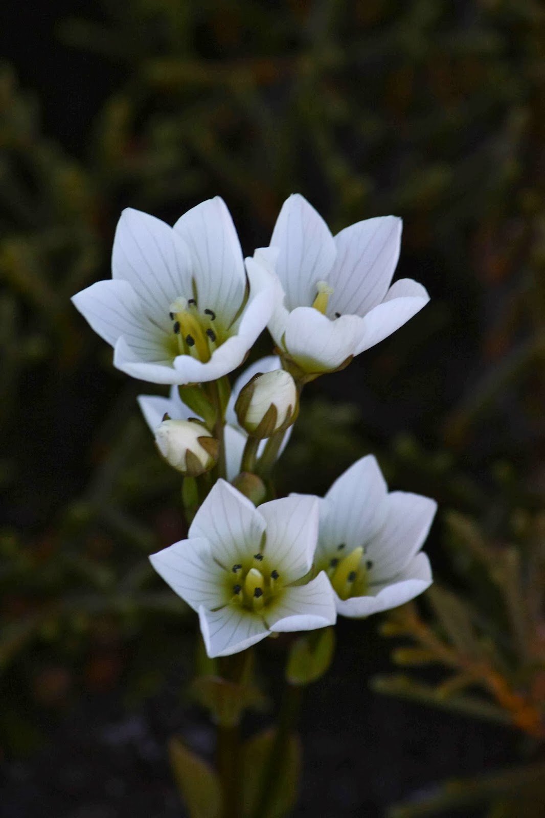
Gentianella diemensis plantaginea 
And at that point, the hard stuff began. I gave up trying to time what we were doing (I normally time everything), as we spent so long staring at painful walls of nasty stabbing scoparia or blockages of melaleuca that demanded a password we were not in possession of that I decided we weren’t going to make our destination. Time was running out. We needed light to safely negotiate the rocky ramparts on the Walled ridge line, and time was hurrying on – but we weren’t. We had set out at around midday, and had enjoyed lunch on the way, but everyone was now getting low on water – the day had been so hot we had been drinking regularly and plentifully from our finite sources – and the general pace was slowing in response to fatigue and thirst. The scoparia was not abating. The wall of scree that actually represented Macs Mountain looked at the same time both daunting and still tantalisingly far away. Would we ever make it in time? 
 
 Minotaur, Gould, Olympus, Byron and more en route to Macs.

Things improved. We found a lead of pineapple grass that helped the pace, and eventually arrived at the wall of medium-sized boulders that formed the face of our mountain. They looked as if they’d all tumble down at the first response to a footfall. You couldn’t see the top, so I wondered if the pile of rubble in fact lead to an impassable cliff just out of eyesight. Pessimist. Others started up. No rocks fell. They disappeared into the blue yonder. Time to give chase. What a super fun climb! On all fours I scaled up the height in no time. This was the easiest part of the whole day, and highly enjoyable. I revel in climbs like that. And there was the summit cairn at last. Unbelievably we had made it. And perhaps more unbelievably, so had my husband, whose doctors had told him many years ago to stick to even surfaces, flat and with handrails. HA.


Hyperion from Walled ridge
The return route was much better, as we followed pineapple grass and a gully (that even had some drinking water in it) down to the left of the saddle between Macs and Walled. We chose the largest boulder chute to climb back up and that climb (rejected on the way down) was quick and painless. The bulwark ridge line protecting Walled from invaders provided no protection from our bunch, and as the mountains turned to soft blue silhouettes in the fading light we reached our tents in sufficient time to quickly cook dinner and eat it whilst watching the effects of sunset on the vista around.

Dawn from the summit of Walled (to Geryon)


Dawn over Lake St Clair (Gould)

Dawn looking towards Hyperion

Dawn looking towards Macs

The next day we had a busy agenda. After witnessing (and photographing the dawn, we had to pack, get down our mountain, and cover the distance to the afternoon ferry before it left without us. Some of us wanted to climb the Parthenon as well (which we did), and others wanted to play chasings with their runaway tent across the mountainside, which was a fun sport and source of much mirth. 


The pace was hot to reach our destination, and the waters of Lake St Clair deliciously cool in contrast. Unfortunately, the afternoon ferry arrives after the Hungry Wombat kitchen has closed, and before the Derwent Pub is prepared to give you food. Starving for a burger with the lot, I drove home trying not to fall asleep.

Patrick and Penny West 2014 Jan

Mt Patrick and Penny West

Summit, Mt Patrick

In a creative and explorative mood, I ignored the suggested parking area for Mt Patrick and continued driving northwards to see what would happen. This northwards route took us past our intended mountain (Mt Patrick) to the west (or so the map said – we had not sighted it, but we could see where it should be) and then curled east. When my gps said we were due north of the still invisible mountain we parked and got out all our normal daywalking gear – small pack, water, several snacks, anorak, warm coat, gloves, cameras, thermals in case it got cold, and a little umbrella for photography. Gaiters on, and we were ready to set out over the rocky (not bouldery) ground and into the bushy thickets that lay ahead.

Lomatia tinctoria (Guitar plant) Mt Patrick 
Nine minutes later we were standing in shock on the summit. “I think we were over-equipped for this one,” mused my husband wryly. The return journey was even shorter – seven minutes – as I was more confident. One Abel for the day down already.
Leptecophylla juniperina, which formed the understory for most of the route up Penny West 

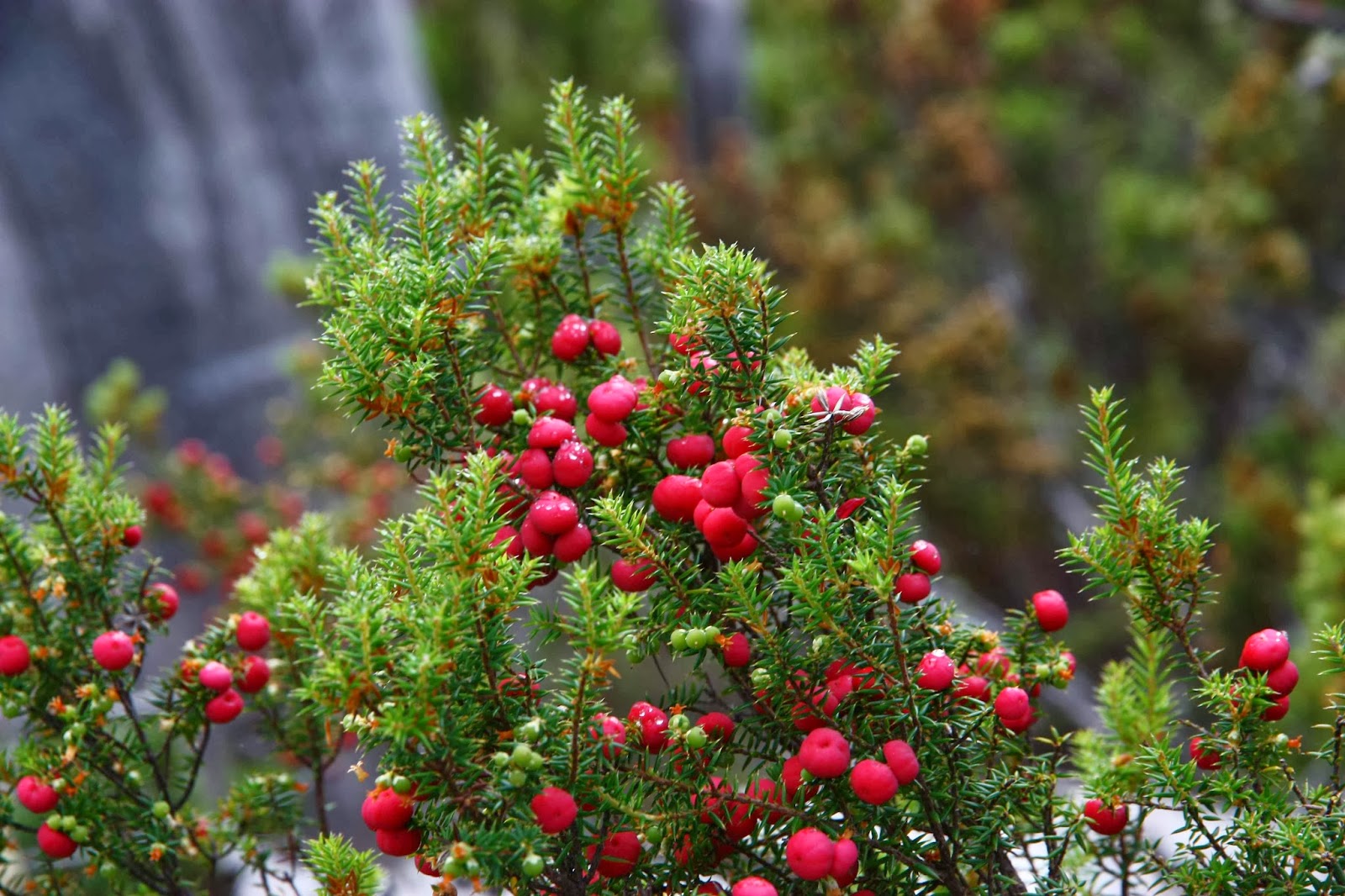
Now, this produced a distressingly short day, and an egregious car to walking ratio, but luckily a friend (Rohan) who knew what we were up to, told me to make sure I took in Mt Penny West while in the area. I hadn’t noticed it on the map at all (which is hardly surprising, as it is off the map, hiding on the next map to the south, just over the edge). Had he not said that, we would have driven home and gone running instead. However, furnished with a photo of the map that he sent me, we parked on the recommended ridge and set out once more to conquer Abel number two for the day. Same gear. This one took us a tad longer than the fifteen minutes the book said, but we were still on top tidily under half an hour. We had not sped through the swathes of Leptecophylla juniperina which is now at the attractive lipstick berry phase – but is always at the ‘ouch’ phase.

Summit, Penny West
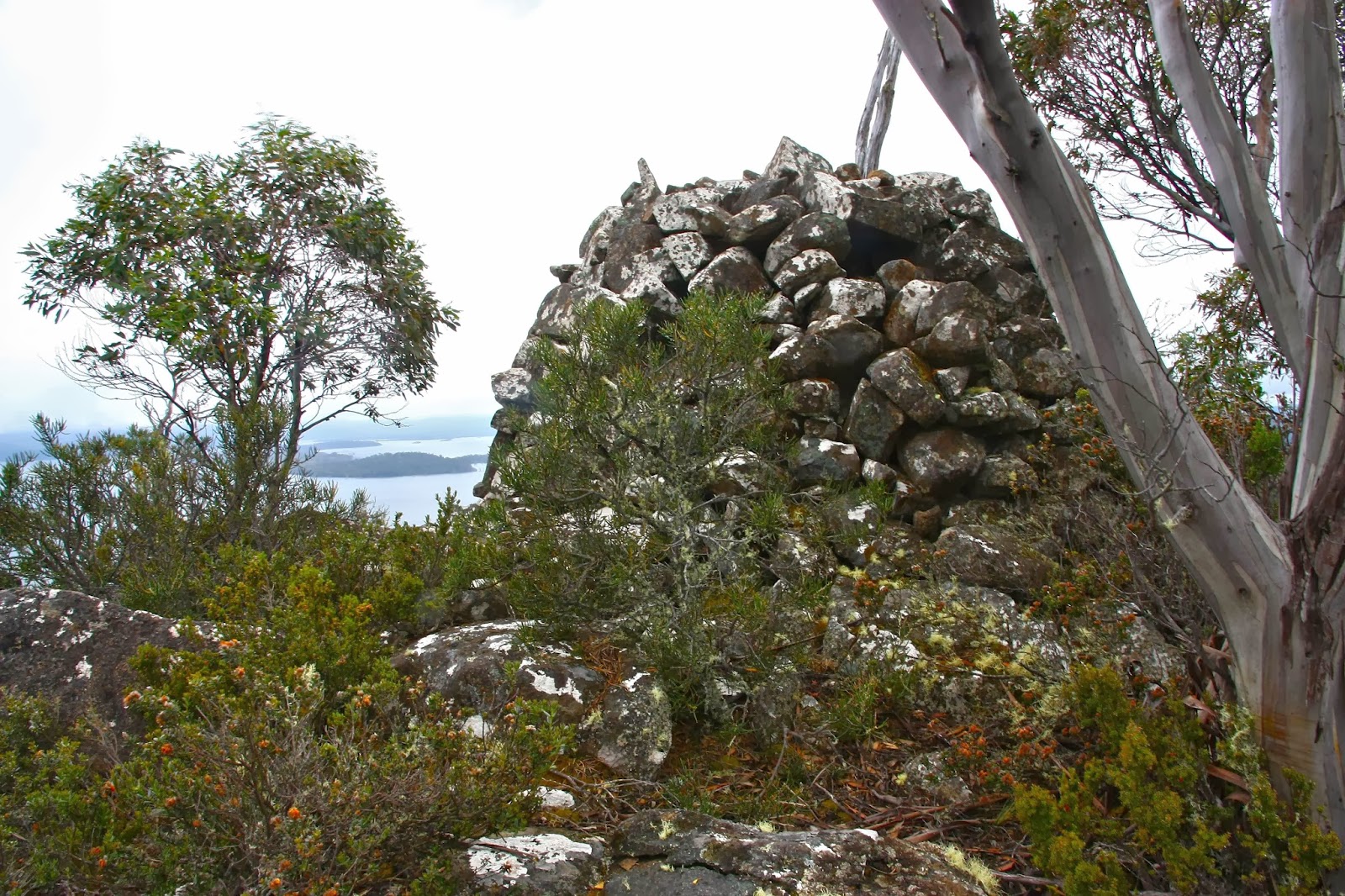
 I had not bothered keeping an exact bearing – one can hardly get lost here – and came to a very shapely little summit that looked most worthy of a climb. However, as I admired the view, I could see that even though my gps said I’d gained the right height, there was another mound, less shapely, to the north that was definitely higher. Off we set. Now we were on the summit. We took victory photos of said summit and its views, and enjoyed some of our snacks while gazing out to the water, and admiring a lonely bright yellow Leptorhynchos squamatus (scaly buttons). The only thing amiss was that I was sure the book had spoken about a “structure” at the top. My husband suggested I was confused, mixing this mountain with another.

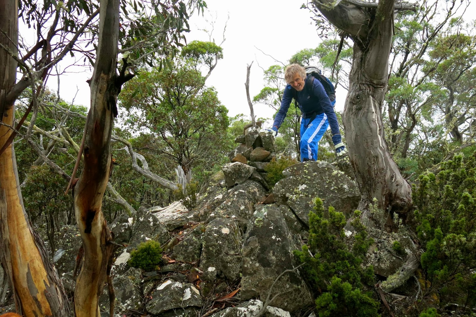
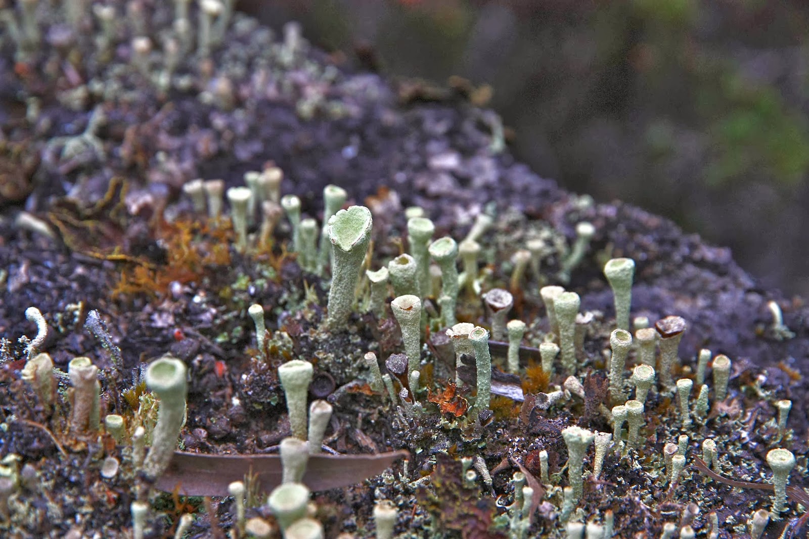
Finished with eating and all packed up, I turned to leave. My husband wasn’t ready, so I swung around the other way to see what he was up to. And there, perfectly camouflaged and hiding in the tree tops of eucalypts that began further down, barely discernible and easily missed, was something that could be a pile of rocks. I squinted and glared. Yes it was. Now I needed to explore it too, as it looked higher than where we were. As I got nearer, I saw it had a “structure” a kind of beehive made of piled rocks. At last, third attempt, we’d found the true summit. I didn’t need more snacks, but we did touch and photograph it before descending. The way back was spiced up by the presence of “pixie cups” lichen, cladonia pleura. It was no faster than the way there. And after that it was full steam ahead for lunch in Longford.

The beautiful fairy cups of the lichen cladonia pleurota 
For those intending to climb Mt Patrick, please note that it is on private property and has two locked gates to get through. The details of how to get keys that are in the Ables book are now out of date, as the property was sold two years ago. The person you now phone is Ingrid, on 03 6259 8204 or 0428 314 561. The cost is now the princely sum of $5 per head. My husband has pointed out that 20 cents to enter the Evandale markets is even better value if you don’t like quick Abels.