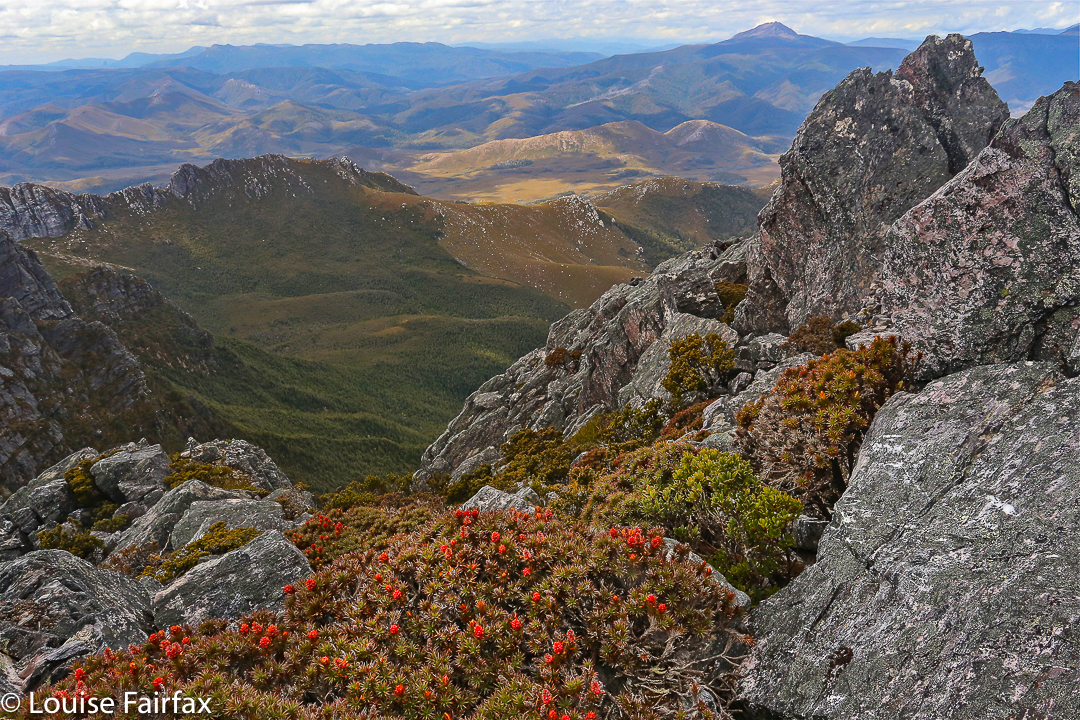
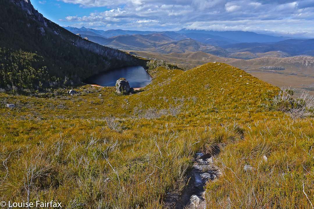
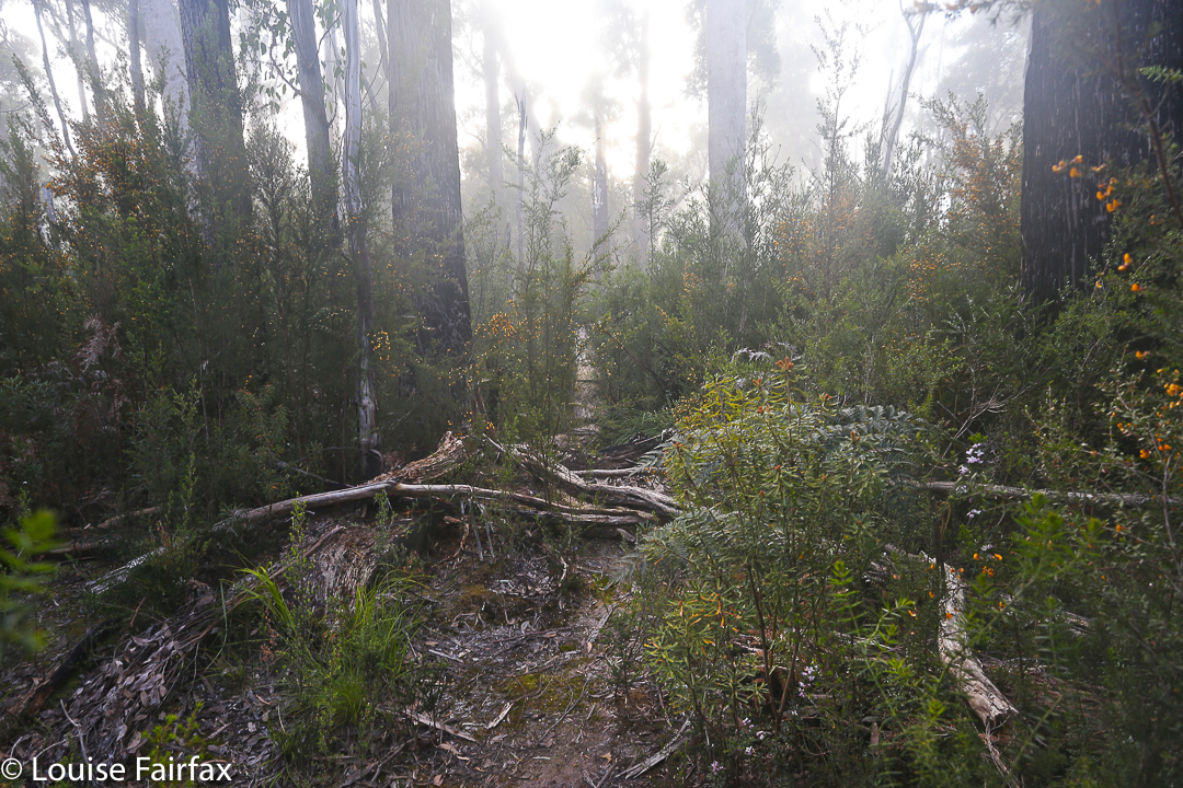
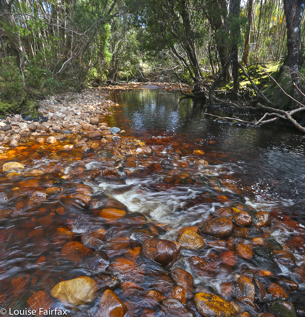
Western Arthurs 2016 Feb (in the rain)

Western Arthurs in the rain: Paddy Pallin once wrote words to the effect that one of the aspects of bushwalking he loved was the way it intensified normal existence (my words) and made him newly appreciative of life’s little pleasures. A glass of wine by an open fire is twice as good after a period of deprivation. A bushwalker never takes the joy of a hot shower for granted. The simple things of life retain their power to delight.

And so it was for Angela and me as we sat in The Possum Shed having lunch yesterday. Once we’d descended Moraine A, Angela looked at her watch and announced we could make it to Westerway for lunch. I agreed. She was away, splashing through all the puddles, not caring about mud holes. Zoom. I trotted behind, somewhat laden with my tripod, glass filters and heavy camera. Our packs were now weighty with all our wet gear, but that did not deter. The thought of real, hot, delicious food, consumed in pleasant surroundings spurred us on. It certainly felt good to be there at last and announce to our husbands that we’d be home early. During the night, I had greatly feared that the river at the track junction would be uncrossable, so much rain had fallen, so was doubly relieved. We might have been there for days; I had saved food accordingly.

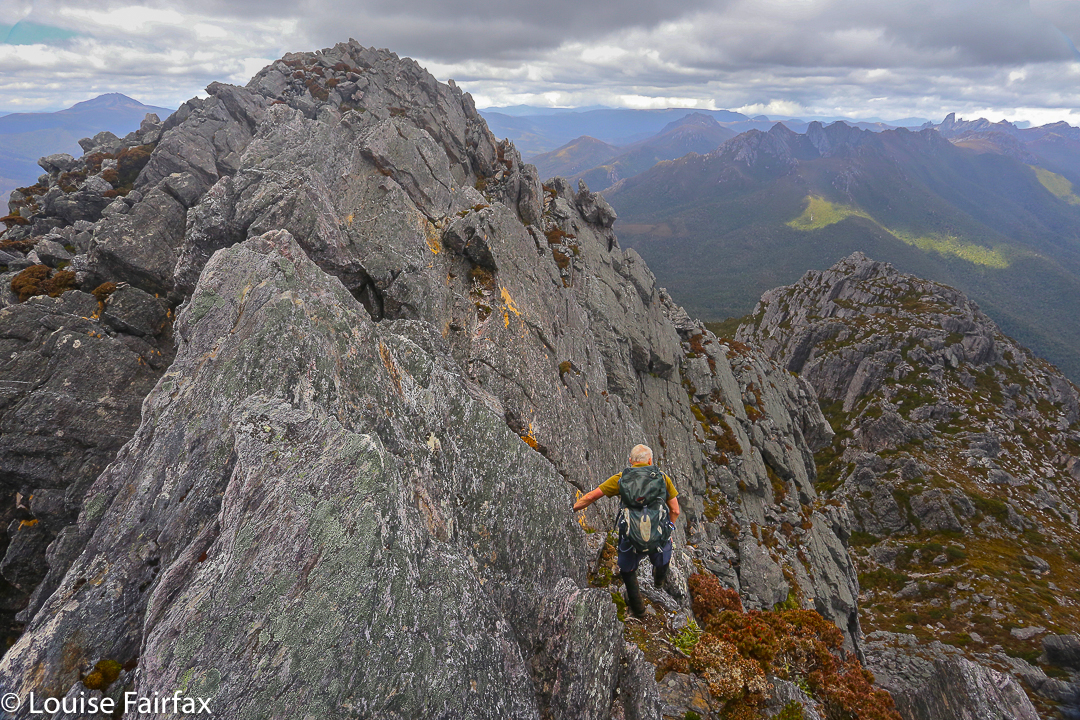
This trip marked the end of Angela’s long summer holiday. She’d taken a month off work so as to climb Federation and do the whole Western Arthurs Traverse. Through a series of mishaps – disappointing cancellations, fires, bad weather and injuries – these hopes had been greatly diminished. We had still done a number of great climbs, but not the ones intended, and now the Western Arthurs were being reduced to a mere three-day expedition due to weather and my dubious foot. Angela has not explored this region, so was excited even by the reduced agenda. Now she has been there but seen next to nothing.

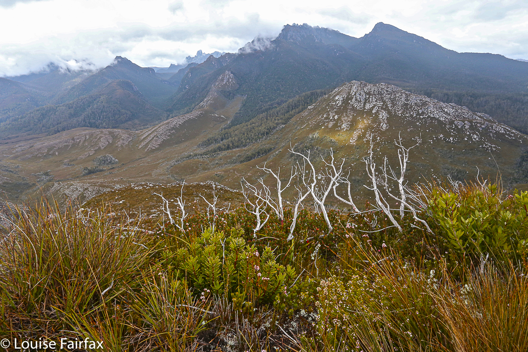
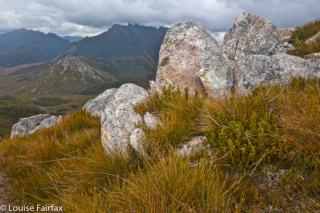
Unfortunately on day one, Angela was adding another chapter to her book on Summits to Spew on (it had been very hot climbing), so I killed the hours at my disposal once we had selected our campspots, climbing lumps and bumps and photographing, although the light was very dull and flat. Disappointed, I retired to my tent, and watched the grey, matt landscape as I cooked and ate dinner, before going back out to try my luck – returning with a few shots that didn’t match my expectations. I sat staring at the scenery in a trance, waiting for darkness and bedtime. I had by this time, of course, packed up my tripod and GND filters, and put my camera to bed. Suddenly, a flash of colour penetrated my vague awareness. Mt Hesperus was aglow with the final rays of the day which had somehow (and most unexpectedly) pierced through a hole in the thick amassing cloud.

I had no time to alter settings or do anything. I grabbed my camera and shot and hoped. It lasted. I quickly changed ISO, f-stop, exposure and shot again, a woman possessed. It was still there. I had to get outside. I grabbed my boots, no time for laces, and shuffled outside to face the west. There was no time to set up, so I used a passing rock as a tripod and hoped for the best, sighing at the wasted effort of lugging all my equipment up moraine A to now have it sitting in my tent in my moment of need. The sudden flash of colour had woken Angela, so she joined me to share the beauty, and take pleasure in the fabulous scene that was our gift that evening.

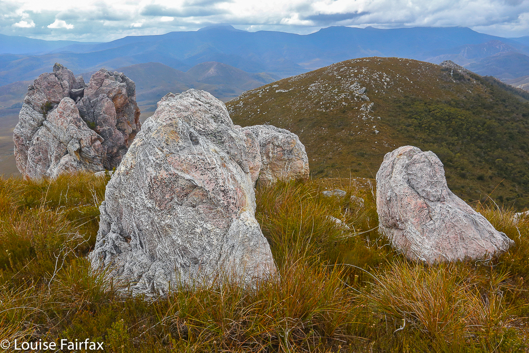
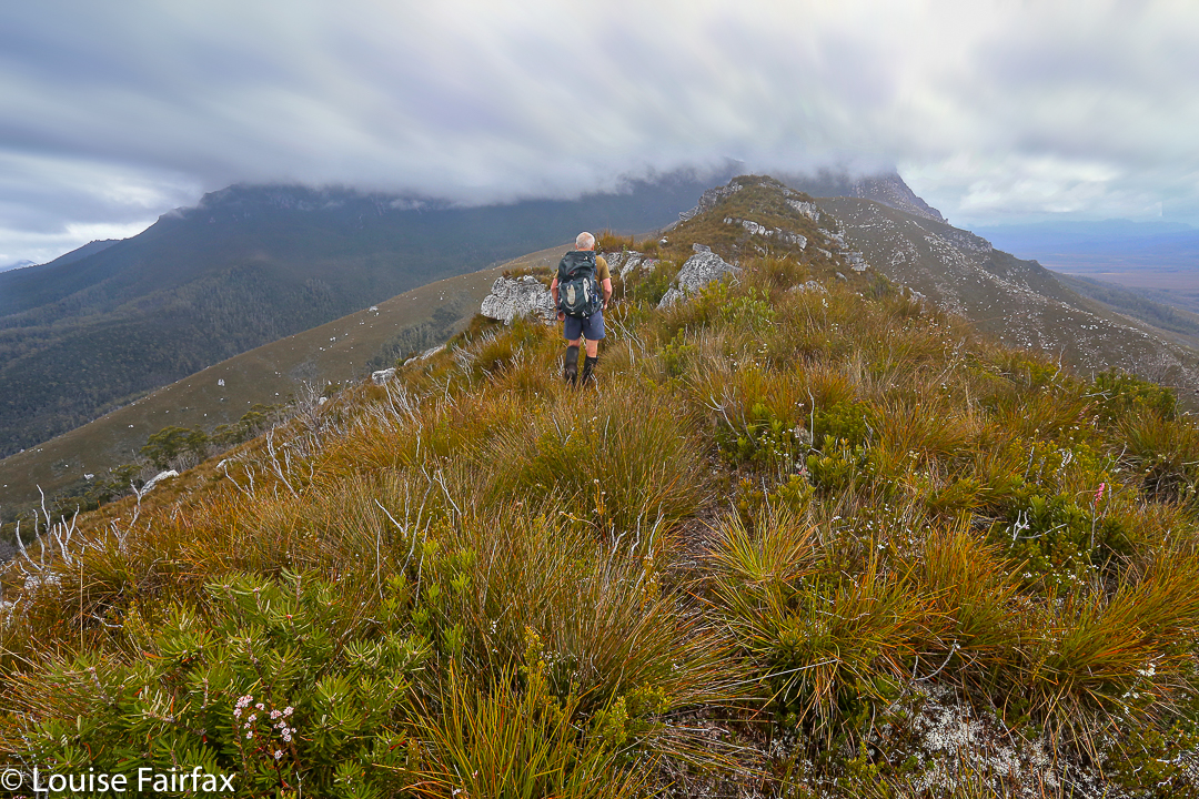
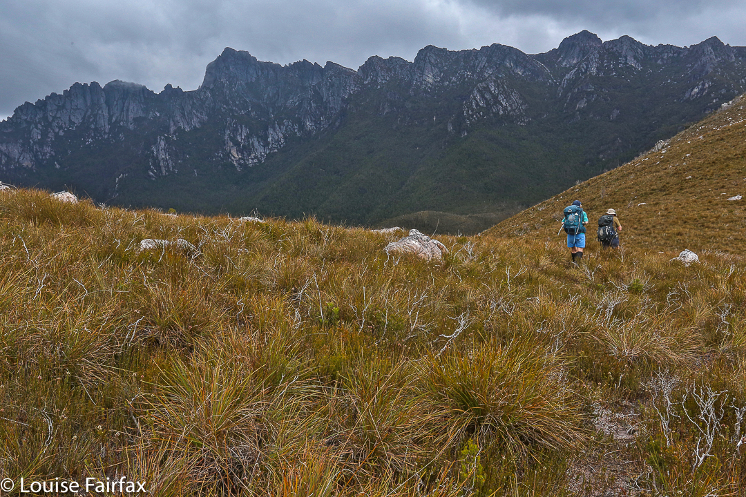
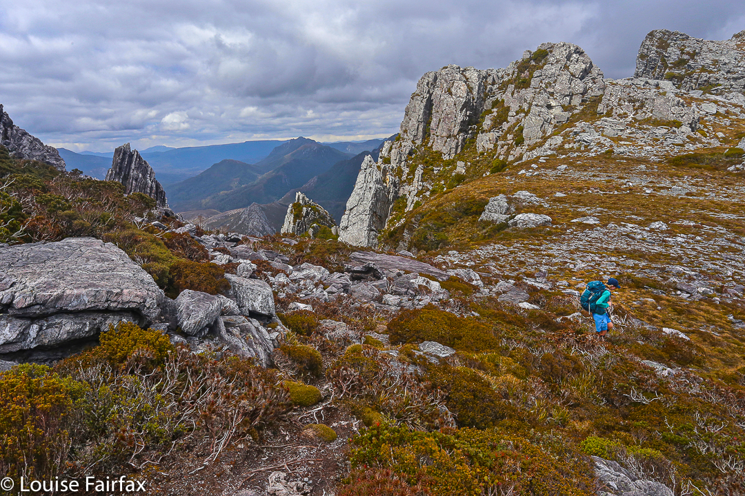
By the second day, the rain had set in, but we donned our gear and headed for mountains to climb. The heavy rain, gusting, strong wind, slippery rocks and dark gloom changed our minds regarding our purpose, and we turned our spree into a walk to Square Lake and back. It was time to enjoy the minutiae of nature. The pinky-grey quartzite, green cushion plants and dislimned shapes that appeared and disappeared as we progressed gave us pleasure. It was nice to be moving. The denizens of the ten tents at Lake Cygnus were all tucked up in bed, but that is not our style. The price we paid for our excursion was to return to the tents drenched. Thoroughly, hideously sopping, I peeled off my disgusting layers, dropped them on the floor of my vestibule, and entered the dry inner sanctum of my aegis. After some effort, I was in dry clothes, snug in my sleeping bag, eating lunch with one hand poked out into the open, hoping that Angela didn’t want to begin our journey out after lunch. She didn’t. We spent the afternoon contemplating the existential pleasure of warmth and dryness.

On the third and final day, it was time to put on those tossed, detested items of clothing, a thought that had plagued me during the night, when I wasn’t practising drowning at the hands of a swollen river. It rained while we depitched, but things couldn’t get any worse. Rain was now, quite literally, water off a duck’s back. The track was a ribbon of water, across the grey-green moor, and two sodden girls went walking, walking, walking, two sodden girls went walking, right to the mountain door.


Massif, Geryon North, Du Cane Range 2016 Jan

Mt Massif, Geryon North and the Du Cane Range High Point  Jan 2016.

Mt Geryon at sunset. Day One: from the Pool of Memories
Surely it is impossible to look at Mt Geryon and not be impressed by its shape and slope, and the way it yells “impossible” at you when you think of climbing its vertical slopes. It’s a mountain that demands – and receives – respect. It is one of those mountains that I never dreamed I would be able to climb, but something has changed, and here I stood, ready to give it a go.

Meanwhile, my love affair with Mt Massif dates back to 2011, and has  its provenance and inspiration in Dave Noble’s blogsite, where I stared at his pictures and wanted to go there and sleep on top. At last I stood on the startline to do just that.

Du Cane Range High Point, with the stick jutting out of the cairn kind of thing

Day One was unexpectedly “interesting” in that we encountered a guy who wandered into our company after being missing for over thirteen hours. He had no raincoat, no food, no map, compass, torch or phone (it had run out of battery at about 10pm). Whatever else one might need, he didn’t have that either, but he did have an excellent camera and quality tripod, so (in that regard) was a man who had priorities akin to my own.

Day Two: traversing the rocky scree around Mt Massif

He didn’t really know where he had come from, couldn’t say if he had come downhill at all, chose a random (but impossible) lake on the map as a place he thought he had passed, yet we managed to somehow work out that he had reached us from Lake Elysia, most fortuitously wandering east and not west, where people do not get found. He had gone to the Pool of Memories to photograph stars, got whited out and disoriented, and so thought it was a good idea to wander aimlessly all night and into the next day. The fact that he found people might unhappily reinforce this dangerous modus operandi. Meanwhile, others at Elysia had reported him missing, so helicopters were circling overhead. Dave from our group luckily had a satellite phone, so called the police and S&R to report the lost as found. However, two hours later – due to lack of communication from one department to another, one can only assume – they were still flying around, trying to find the found.

Day Two, Big Gun Pass: The Gun

We had set off with him to return him to his tent under escort, managing to use sign language near the Parthenon saddle to at last convince the police buzzing above that we had him. He certainly gave the bushwalkers up there plenty to talk about that weekend. He had the generosity and insight to thank our group for saving his life. He’s one lucky guy. I should have grabbed the opportunity and tried to swap my lunch for a sony A7, but he still seemed to know what was valuable.

Day Two. Vaughan surveys the abyss

Day Two. After a day one where our goals were a long shot off the focus, we settled down to business this day …. except that the weather didn’t. As a result, we danced around in fog for 1.5 hours hoping it would change its mind and be merciful to my Mt Hyperion desires, but it would have none of it. Frustrated, I left the others who were munching lunch in the drizzle, and at least collected the Abel of the Du Cane Range High Point before I ate. Now I had bagged something I felt a bit more relaxed.
And so we wended our way towards the famous Big Gun Pass, with a compass bearing so we might find it. There were no vistas today, but the sight of the Big Gun as a clouded silhouette in the misty ambient gloom was even better. Views could come later.

Day Two. Vaughan surveys a different abyss. He’s getting pretty good at this.

The way up the other side looked particularly steep to this group of heavily laden walkers, but everyone dug in and climbed well, and the high point was soon in sight. Eagerly we each pictured a kind of summit cairn with pastures of green grass to camp on stretching beyond: a veritable land flowing with milk and honey. And what were we given? Not just a wasteland of wild, slippery rocks, but ones whose trajectory was a very sharp slope downwards. We stared over the abyss with dismay. In silence the group sat for a fifteen minutes’ rest taking in the disappointment, conjuring up energy for the unexpected task ahead. If we could find a safe passage down that, we would then have to wind our way laboriously around the rocks to the grassy funnel we could see that must lead to the bowl beneath the summit further away. Straight ahead was a monstrous cliff wall that you couldn’t scale even with ropes.

Day Two. On top of Mt Massif at last. One of many views from one of many possible summits.

A route was found, and we lowered ourselves down the cracks and rocks to a place from which we could contour around, a group of sick crustaceans with all limbs attached to the black mossy rocks, trying to prevent slides into injury.

Day Two: a sorry sight. Fires raging behind Cathedral. You can also see another fire front back left. You cannot see any helicopters dropping water to save these gentle tree giants.

Once the tension of the traverse was over, the others quite sensibly wanted to relax and set up camp, but I am not able to relax if something is not finished, so grabbed my gps and set off for the summit, visiting all interesting high points up there for their different photographic angles, checking at the end that my blue line had landed on the actual summit at some point. There was no happy celebratory group with handshakes and high fives like there had been on the Eldons. It was a most anticlimactic summit for one that had been desired for so long.

Day Two: Mt Massif summit. An unusual view of Ossa, Pelion West, Thetis and more. Cradle back right.

Day Two: a different view of Ossa et al

Day Three presented itself as a marvellous collection of diamonds and pearls strewn carelessly all over the grass in every direction. The mist was enchanting. We were not in a rush, so the pace was leisurely as we enjoyed all these sights and the feeling of total bliss that comes with being in a place like this.

Day Three: fabulous sunrise views from Massif

The route over the rocks was much quicker in this direction, and there were no dismaying surprises, as long as you discount Rolfe’s cracking a rib. It seems quite the fashion these days. Mine is ten days out from being broken, so I had no trouble understanding the pain he was now in. As a result, a small subgroup went straight back to camp after lunch while the remaining ones headed for Geryon North.

Day Three. Rob and Cam arrive to check out the early light. You can see our tents below.

We arrived at the black dot on the map, and the group proclaimed it as Geryon North and cheered. However, I am an honest peak bagger, and knew that this flattish hill (with very impressive cliffs) did not fit the bill despite its cute black dot and height of 1507. The real Geryon North has a much higher height and it was staring at me across the abyss. Would anyone else come with me this time? Vaughan said yes. Hoorah. Then Rob and Cam joined in. More joy. Off we set while the others sat down for a rather dull spectator sport.

Action in the mist


Day Three. Climbing back up to be allowed to climb down to Big Gun Pass

The watchers reported that it looked very dangerous. Vaughan recounted how his new role as father to a toddler and baby gave him a new purpose to be alive. Rob (father) admonished Cam (fouteen-year-old son) to be careful every two minutes. Louise was lead by the summit fever that always overtakes her, but is no risk taker. We were being careful, but Vaughan did say he found this climb harder than Federation in its technicality. We had to back out of a few manoeuvres; there was some light grunting, handholds where limbs couldn’t reach the only rock one on offer, helping pushes or pulls and eventually the team made it. This time there was joy at the top, and we all joined hands to touch. The views, of course, were breathtaking. Sure, you can hire a helicopter and get the same thing, but you will never get the joy that grated fingertips and slightly lacerated gear in your effort to get there will give you.

Cam on the lump called Mt Geryon that is not Geryon North yet

Here is our goal, up nice and close now. East face looks quite exciting

And here is one from the tippy top

Before the others set out for the Pool of Memories, we had seen from high above that someone had dared to beat us to the pool; a little red tent was in “my” spot. This person obviously had good taste in views, but must be evacuated. We instructed our forerunners to be rude and raucous and thus drive them away. When we at last descended and I met the fellows, however, I decided to be raucous but skip the rude bit. These were people who were my friends in Instagram and here they were in the flesh: the fabulous Luke Tscharke, Tim Wrate, Francois Fourie, and Dylan Toh. I was delighted to hear they had consulted this blog when deciding where to go for their trip. As a result, the paparazzi lineup for sunset was quite amusing. Now I didn’t feel at all silly lugging 3 kgs photographic equipment all this way.

Mt Geryon says “good night”. Pool of Memories.

And here is sunset looking in the opposite direction.

Day Four. We climbed down – reluctant to leave this place, yet refreshed from it – to resume our daily lives, descending through glorious rainforest to the Geryon Climbers’ Camp in the valley below, and thence to Pine Valley and eventually to the lake where we killed about three hours throwing stones waiting for the ferry.

Love rainforest. Hate, hate to think of it burning further east.
Route up Mt Geryon North from near Du Cane HP – please note. This is only for the experienced and confident.
 The map to Mt Massif is also available on request. 

Eldons: High Dome, Eldon Bluff, Eldon Crag, Dome Hill, Castle Mountain, Rocky Hill

The Eldons: High Dome, Eldon Bluff, Eldon Crag, Dome Hill, Castle Mountain, Rocky Hill Jan 2016.
This was my first really big epic; we had packed for ten days, and I was pretty nervous. Could I carry all that weight? Ten days seemed a very long time to be bushwalking in the wilderness.

Day 1. Here we are, heading across the clear Rocky Hill South towards our destination for the day: Rocky Hill campsite. All is going well and everyone is coping perfectly with the heavy load that a trip like this entails. I was carrying 17.5 kgs, which is between a third and a half my bodyweight. I was intending to do some very serious eating to improve that ratio by the way out.

Day 1. Many of us camped near or under beautiful pencil pines like this. Pineapple grass was in abundance, as were delightful pools of clear water. These were especially welcome after a completely water-free day once we left the Collingwood River right at the start.

Day 2 dawned misty. Here is the group as it heads along the ridgeline connecting Rocky Hill to a hill at 1173 ms asl.

Day 2. And here is our final resting place for this day: the beautiful Five Duck (yet duckless) Tarn. It was very exciting to be so near a mountain that has always looked so distant and impossible, a mountain for tough bushmen, so not for me, yet here I am: High Dome.


Day 3 dawned clear and bright. We set off early so as not to be cooked later.

Day 3. And here is what it’s like to be underway in the Eldons. These are button grass plains which formed patches to give us a break from the thicker scrub of other sections.

Day 3. A very happy summit group on top of High Dome. On the far right is Malcolm Waterston, the sixth person ever to complete a full set of Abels (which he finished this trip).

Day 3. With High Dome under our belt, on we press to our next destination, Lake Ewart. On the left is Castle Mountain, and on the right is Eldon Bluff, the crème de la crème for many of us on the trip.

Day 3. Dan and Steve were two of many who used our early arrival at the lake to have a swim and a wash. Unfortunately, wuss here was too cold, but she admired the waters and went exploring around the lake’s edge instead, discovering a grove of scoparia whose leaves were well above her head. That’s scoparia at its best!!

Day 3. With the sun setting behind Eldon Bluff, many beautiful silhouetted moments were on offer.
 
 Day 4. At last, the day to summit the Crown Jewel of the trip has arrived. Here she is smiling pinkly down on us while we wipe the white frosted icing sugar off our tents and fill our packs with enough water to fund a mid-thirties temperature day. I took this photo whilst eating breakfast inside my tent (ie, I pitched so close to the water’s edge the others teased me that I’d get flooded out if things went badly).
Day 4. The beauty of the lake in the early light as we circled it thrilled me.
Day 4. Round the northern end of the lake, over the buttongrass plain and up to this rock that we spotted from below. We had to climb a tree to get up it, which was fun. It made a good perch for a rest, and also to survey the beauty of the surrounding landscape.
Day 4. Happy climbers taking a rest on a different rock. Time for breakfast number two (about 8.30).
Day 4. Looking across to Eldon Crag (the next one to be climbed after this) whilst having a break during the climb of Eldon Bluff (up to our left).
Day 4. The group arrives at the saddle before the final climb. You can see we’ve already climbed up a very long way.
Day 4. I saw this view just before we reached the summit, and was terribly excited. There is Lake Ewart, way, way below, and I could even see my trusty tent waiting for me by the water’s edge, a minuscule red speck. The day was very hot, and people drank even more than the generous amounts they had catered for (one guy went through 8 litres in total). After we climbed this mountain and the next one (Eldon Crag), we dropped slightly out of our way to a tarn about half way down to Lake Dorothy to cool down and gather more liquid.
Day 4 draws to a close. It had been long and hot, but we were all deeply satisfied. This almost dry creek made a fabulous “highway” for part of our descent. There were even protected native fish in one of the rock pools. The water was cool and delicious. Money cannot buy drinks like that.

Day 5. Another day, another mountain, more perfection in the wilderness. Today we will climb Dome Hill. Ahead, you can see the first part of our climb. Because of the heat (and our ultimate goals for the day), another early start is chosen.

Day 5. About 1 hr 30’s walking later, we get to see epacris serpyllifolia adorning the summit of Dome Hill, with yesterday’s booty, Eldon Bluff and Crag, in the background.

Day 5. Dome Hill summit group. After this, it was back to camp, depitch and climb up through the scrub onto the plateau that contains tarns that will give us a good springboard the following day for the next mountain on our agenda.

Day 6. Sunrise from our tarns

Day 6. Two of our group approaching the summit of Castle Mountain. The weather did not cooperate with a view from this summit, but I found the mist atmospheric.

Day 7. Dawn from High Dome ridge (a dry camp – i.e., no available water nearby).
Day 7. Morning light on a day that was pretty light on for those of us who had already climbed High Dome on the way in. Lucky we were just loafing around camp, actually, as the wind came up mid-morning. One tent snapped its pole in two places, and the three of us there had to lie on tents and depitch them to prevent further breakages. That day we moved to Five Duck Tarn, where, in the evening, those who didn’t mind being out in the weather got to watch lightning strike the ridge running off Little Sugarloaf, setting off a blaze the height of two gumtrees, clearly visible from our spot.
 
Day 8. No photos, as it was pouring with rain and blowing a gale most of the day. We decided to put in a huge effort and get out. You could smell many of the 50 fires that were now burning across the state’s lower half, and today was an ideal day for a big effort, being both cold and wet. Warm, dry weather would resume the next day. Who knows what the fires would do then? Pyramid Mt was cancelled; the guys had never been keen on Camp Hill. We had reached the next destination by lunchtime (Rocky Hill campsite), having climbed Rocky Hill in conditions so freezing that not a photo got taken, and all voted to walk two days in one, and clear out rather than sitting in sodden tents for no good reason, waiting for the next day. Dinner that night in the Derwent Bridge Pub was a very happy affair. Celebration was in order, and the huge open fire was maybe even better than the hot, non-dehydrated food.

West Portal in Three Days 2015 Oct

“West Portal in three days Mark? You’ve got to be kidding.”
“Oh well, we’ll pack for four, but hope for three. I reckon we can do it.”
I’m glad he was confident. I’d try my best. Let the tale begin …….
Day One.
“We’re here,” I heard Mark say up ahead. Apart from hearing my husband or daughters say “I love you”, these felt like some of the best words I have ever heard in my life. Electric shock tingles were coursing across my left shoulder from the weight of my pack; the ball of my right foot felt bruised; my socks had bunched up at the front of both my boots causing discomfort; my hips felt very tender and I was, quite frankly, tired.
We’d walked 27.4 muddy kilometres in 8 hrs 52 mins, within a total ten hour timespan. That’s a lot of work and not much rest; but at last Mark’s words meant it was over for the day. It was still nice and light. It actually hurt to remove my pack from my aching shoulders, I was so stiff. Like wooden dolls we tottered down to the Cracroft River at the crossing where we were camped to admire its beauty and collect water for the next few meals. It was time to relax.

West Portal trip Day 2. Crossing Strike Ck

I pitched my tent, slowly, partly because I could barely move, and partly to try to accustom myself to its little ways (it’s relatively new), before joining the other two for soup. Oddly enough, at a mere 8.15 pm I thought the idea of turning in for sleep was exceptionally appealing. You don’t often find me in bed at that hour. I impressed the other two with the size of the two large pink swollen lumps I had – one for each hip bone – before I disappeared. Sleep would be like a divine ambrosia.

Day Two.
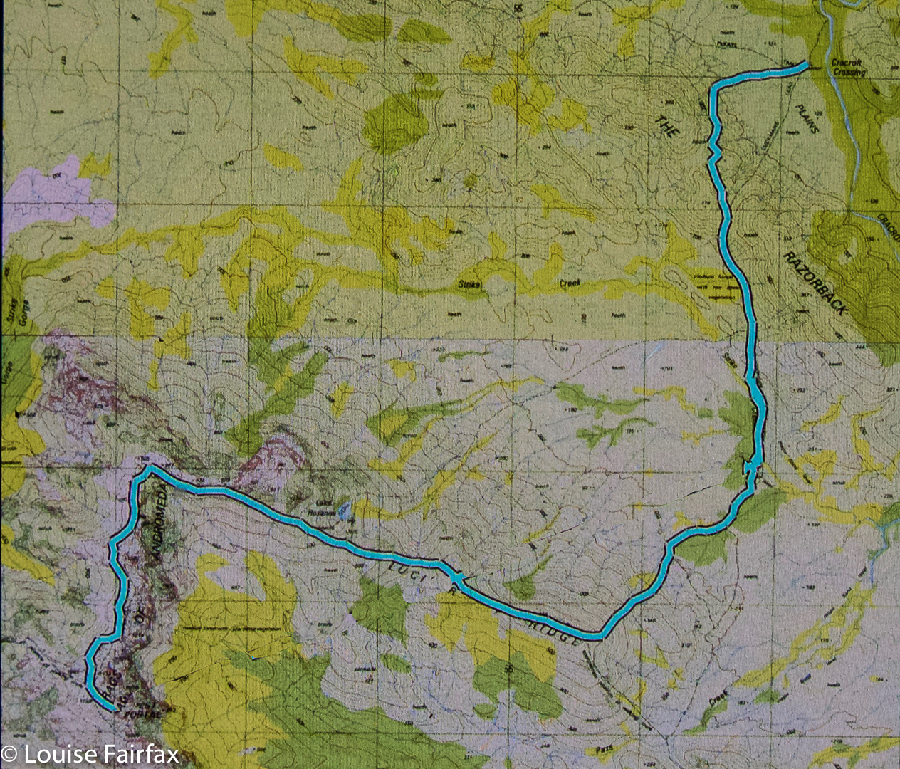
This was to be the day on which we attempted the summit. I wasn’t confident of my own ability to do this, but it made me feel better to hear the other two say they were tired too. At least we’d be in a similar situation. However each of us felt as individuals, we were there to give this our best shot. I set small goals: it would be great to see Lake Rosanne; marvellous to reach the high point on Lucifer Ridge; amazing to walk across the Crags of Andromeda; and, well, let’s not get disappointed by thinking about that far-off, hideously high summit, buried in the clouds right now. One step at a time.

Lucifer Ridge is gained

We still had another hour and a half along the flats before we began our climb proper. Over the Razorback Range we went, dropping into the squelching, muddy Arthur Plains, which we followed until beyond Strike Creek. We took the hypotenuse shortly after crossing it, heading up to the first high bump on the Lucifer Ridge, which jeered at us from above, as its namesake would also no doubt do. The gradient was so steep that the land was almost in our faces. We pulled on tufts of grass to yank ourselves up. Once my body started screaming, I led us on a kind of slaloming zigzag to lessen the severity a bit.

Lucifer Ridge view

With relief we crested a mini bump on the way to the one we wanted – some rocky wart – and took a two-minute breather before continuing on to meet the point where the vague pad from the longer ridge rose up to meet us. Every down was resented as it meant a loss of hard-earned altitude; every up endured with pain until we gave ourselves another tiny break to enjoy the view. We couldn’t rest for long, however, as our goal, although getting easier to see, was still a long way off. However, when the delightful Lake Rosanne appeared below us, we had to stop and admire her. We had a drink and muesli bar and took a time split at this point, as a pad came in on our right, coming to us from the lake. We’d done nearly two hours’ climbing since leaving Strike Ck.

On Lucifer Ridge

For yet another hour we climbed steadily (except when the wretched pad dropped to get around cliff lines) and steeply. We were nearly at the top, but we found a puddle of water, and I was starving, so we called another break and had a drink and snack before continuing. I stole some savoury food from my lunch rations, as muesli bars were not doing it for me. All of a sudden I had energy again. Let’s go!

West Portal from Lucifer Ridge. Oh dear. It still looks a long way away and we have already been working for hours.

We “topped out” a mere eight minutes later, entering delightful “sound of music country”: a wide, open ridge with short grass and expansive vistas in all directions. We could see the Western and Eastern Arthurs, the Mt Anne Range, Lake Pedder, Mt Picton and more. It felt like we could see everything. I dropped momentarily behind to take a few photos and hastened to catch up. Today was about the summit, not about photography, and too much of the latter could scupper our chances of the former.

Topping out at the Crags of Andromeda

On we hastened – if rushing snails can ‘hasten’ – for another hour and a half (nearly), travelling over the Crags of Andromeda and via the first, false summit (excitedly assuming it was “the one” until we saw the challenger to the throne a bit further on) to that glorious cairn that was ours. At some point in there as I traversed the Crags, chasing the others as I’d been indulging in a little more photography, I realised we were actually going to make it. A tear trickled down my cheek, I was so overwhelmed. The only other two mountains I’ve cried on have been Ossa because the view was so beautiful at sunset, and Mont Blanc, which I’d circumambulated, because I was – and still am – madly in love with her huge white magnificence, and I was grieved to leave her.

That’s her, the summit of West Portal: the highest thing you can see ahead. At last we’re closing in – but there’s an impassable gulch between summit B that we’ve just visited and the one we want. We need to go down to get up.

This mountain here has a special aura for me, and I had not conceived of success. People who have climbed her have always seemed to me to be “real” bush people: accomplished traversers of the challenging Tasmanian wilderness, and mostly (but not always) males. I couldn’t believe that I was going to stand on such a summit. I know there are much harder mountains to climb that lie in wait for me (they seem to me right now to be impossible), and I am not trying to claim anything for myself here; I am just saying the effect this particular icon had on me.

West Portal Summit. Richea scoparia enjoys some of the best views scoparia can have anywhere.

We ate our lunch on top, oggling at the wonderful view in every direction around us. This is the highest peak in the Western Arthurs, and it commands a vista commensurate with its title. I particularly loved the rugged Crags of Andromeda with their dramatic weathering patterns; of course, we delighted in the cornucopia of peaks with jagged edges bespeaking nature’s infinite power and fury. It had taken us 6 hours (and four minutes) to summit. We’d now relaxed on top whilst eating. Mathematics said it was time to turn our heads concertedly for home.

Lake Rosanne seen from the way down

Luckily, we descended more quickly than we had climbed, having ironed out a few of the glitches in our approach. Angela had brought her jetboil, so once the pressure was off – near Razorback saddle – we all had a cup of soup to fortify us for the last leg home. We arrived at the tents as darkness fell. Any later and we would have needed those headlamps we’d been carrying all day. The climb had taken us a total of 11 hours 40 mins’ walking plus food breaks added on. We’d covered 27 kms again, only this day we’d also climbed 1,000 ms (= 37 km equivalents) in tough terrain. Three exceptionally satisfied friends sat in a circle cooking and eating dinner. We were not looking forward to the long day on the morrow, but we all had four days’ gear with us, so if we couldn’t manage, it didn’t matter; we’d just camp at one of the many creeks along our 27.4 km path.
Day Three.

Cracroft Crossing campsite on the morning of day three. A nice misty day to begin with, but it became clear and hot later.

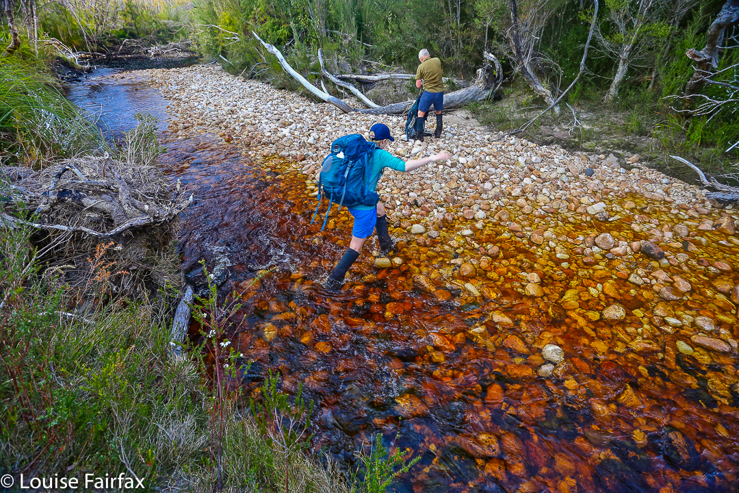
We didn’t need the extra day. We took fifteen minutes more walking time to reach the car on the rebound, and our breaks were longer, mostly to please me. My shoulders would not have gone the distance otherwise. We cooked soup to make lunch more interesting and relaxing, and had a cup of tea before the final long leg from Junction Creek to the car. I even went wading. It was wonderful sitting beside amber creeks in green groves with the friends with whom I’d just shared so much, soaking in the bush with the satisfaction of having achieved our goal. This is the life.

Seven Mile Creek, a refreshing food stop place

The route. Overall,  we covered 91.8 km equivalents, in three very tough days.

ITALY Dolomites AV1 (alta via uno) 2015 (+Tre Cime)

Day 1. Pre-dawn tranquility, Lago di braies / Pragserwildsee.

The bus neared the grand old Hotel Lago di Braies, the start of the AV1, the place I had been looking forward to sharing with my husband since the first time I stayed there two years ago. That first time, I had been full of uncertainties. This time, I knew what lay ahead and was sharing it with Bruce, hoping he would enjoy it. It is sometimes scary returning to a place once loved: I get fearful that the present actuality won’t match my fond memories; that it will fail me the second time around and somehow, in that failure, mar the aura created by the initial memories as well. I thus had a mixture of apprehension and excitement as we grabbed our packs and headed for the entrance. If nothing else, here was the last time for a while that we would have a room for just the two of us, and the final decent shower for an unknown number of days to come.

Same

In order to fully appreciate what the hotel had to offer, we chose a room with a balcony overlooking the lake with its reflecting waters of an entrancing colour – its quaint wooden boat shed protruding over the bobbing wooden dinghies to our left – the gardens in front, and the tiny chapel to our right. The scene needed some ladies and gents in Romantic Era clothing. We spent a long time both before and after nightfall just staring at this view.

Day 1. The next morning, it was time to test out this route, 2015 edition. It begins with a big climb, up into the mountains at the end of the lake. As with last time I did it, there were plenty of people on the track, all heading in the same direction (both day walkers and AV1ers), so I was free to go at my own “happy pace”, lost in my own little world of thought. Bruce and the girl who was with us were perfectly capable of finding the route without me, and I am used to climbing solo in the Alps. It’s our habit to reunite at the top. It was a hot day – a perfect day for using the climb as a good workout and climbing quickly to finish it before the day got any worse. I used my early arrival to debate our case for a bed in the full hut. We were given our own quarters in a little barn, removed a bit from the hut – perfect. There was no toilet or shower, but we’re used to tenting; this was luxury. I loved the view, and we kept the door open to maximise it.
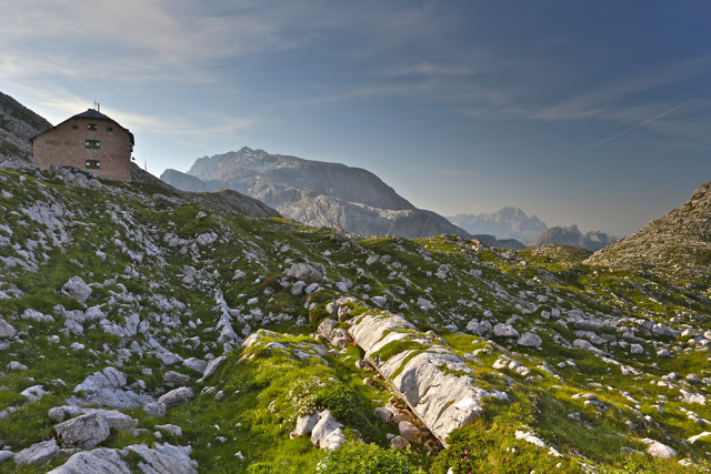
(Day 1, close). Looking at the real hut from our little barn

The day was a hazy sort of day that wasn’t going to offer any fine vistas from the top of Seekofel, but I hadn’t done enough work for the day, so climbed it anyway just for the workout value. I didn’t take any photos, so could have saved myself the weight of my camera. Even in the haze, the view down to 1400 ms below, to the diminished lake and hotel where we had been that morning, was impressive.

Day 2. I had intended us to stay at Rifugio Fanes, but when a call was put through on our behalf, they said it was full, so we went to Lavarelle instead, and it turned out to be nicer anyway. The food was brilliant, there was a beautiful lake for Bruce to swim in once he’d arrived, and a plethora of wonderful streams to explore once the day had lost its sting.

Day 2, shortly after leaving Seekofelhuette / Rifugio Bielle. 

This day was another scorcher, so I’m afraid I belted it out like the previous day, getting my homework done before lunchtime so I could enjoy relaxing at the hut and dipping my legs in the lake. (The water was too cold for me to swim. Shrieks from a different beach indicated that others shared my opinion. Even Bruce didn’t last very long in the tempting waters). The odd combination of solo and company that resulted from our different speeds pleased me, as without the other two, I got to converse with new friends in German before I was required to use English once more. I also got some reading done, satisfying my love of reading in mountain locations.

(Day 2). Bruce having an enjoyable freeze down at the end of a scorching climb; Lavarelle.

One of the many streams to explore near Rifugio Lavarelle (end day 2).

Day 3 was a longer day, culminating in a protracted climb up to the highly perched Rifugio Lagazuoi, a fabulously situated refuge. The first section is benign enough, involving green vistas and flowers, followed by a medium-length climb to a different col, a short, very steep descent over the other side, a traverse along a scree slope with huge towering, shapely rocky hunks above, and finally, just when the day has reached its hottest, the long climb to the rifugio. Once more, with the day that hot and with there being too much glare for photos, I just knocked it off quickly so as to enjoy being there. For the third day in a row, no photos were taken after about 9 a.m.. I like walking quickly in the Alps anyway, and when it’s hot, I love relaxing at our destination and soaking in the view, waiting for day-trippers to disappear and for the sun to assume its more golden hues as the shadows lengthen. Sunset at this height is always an event to look forward to.
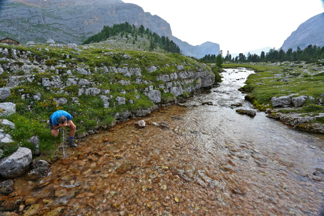
Trying to cool down at a stream early in the day on day 3.

Day 4 involved, of necessity when you’ve just spent the night very high indeed, a marked drop to the valley floor way, way below. There happens to be a téléphérique operating from near this hut, so I suggested that Bruce, who has never been a purist when doing these walks, take the easy way down, which would save his knees and give him a rest. He liked that idea, and went down with a family we had befriended. They would all walk up to the next hut where we would be together once more.

A scene taken during the drop to the valley floor after Rifugio Lagazuoi (Day 4)

Yet again, it was an extremely hot day, and one that didn’t offer much photographically due to the glare and slight heat haze. I repeated the no-fuss, no-delay approach of the other days. I also knew that our next rifugio, Avarau, had the best food of any mountain hut I know. I was keen to have both lunch and dinner there to maximise the quantity of food sampled from this great chef. His liqueur cakes are very special, but his pasta is out of this world. We had cakes, then lunch, then divine pannacottas and the best dinner of the holiday. In between all that eating, if I was still capable of getting up any slopes, I had planned to climb the mountain from which the refuge gets its name. However, at long last all these days of extreme heat produced a hefty storm, and no climbing could be done, so we ate some more. I didn’t even get to explore the interesting rocky formations below, of the cinque torri; the storm beat me to it.
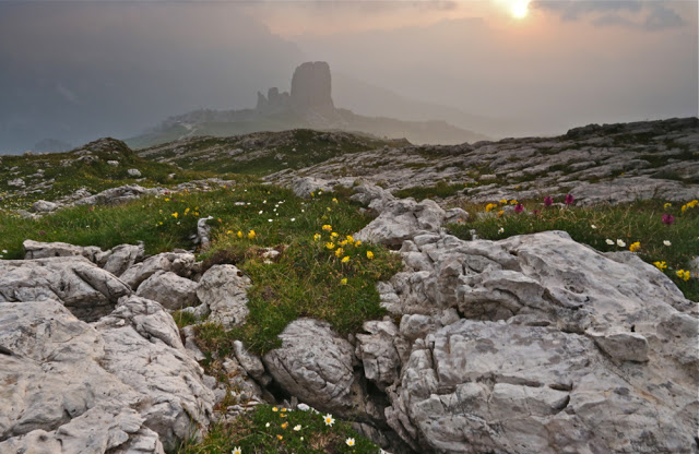
Dawn, day 5. The cloud lingered, to float around the biggest of the Torri. I loved it.

Day 5. Time was running out on our Italian section of the trip and we would soon be flying to Manchester. The person with us really wanted to see the Drei Zinnen (tre cime), so we had agreed to terminate AV1 on this day and begin a different trek further east that would take us to these shapely and dramatic monsters. We dropped down from the refuge, exploring the five chimneys en passant, descending through a beautiful, shady forest replete with wildflowers, and dropping eventually to the road, where we caught a bus to Cortina and another further north to a point I had selected that would enable us to reach our new goal if we walked east and climbed a huge amount for a few hours.

Flowers on the descent from Avarau
After the cosy, friendly huts of the AV1, this one, on the AV6, felt very touristy and strange, but it satisfied a need for us (and the many others who want to see these rocks at sunset), and we were given a bed in another barn, which felt much nearer to our style than the main hut. Another storm was brewing. We could barely see our barn through the thick mist, which helped lend the place some of the atmosphere that it otherwise lacked for us. The paparazzi came out in force both nights we were there. It was almost comical.
Our barn (shared with many) and moody skies over the Paternkofel – far more atmospheric than the giant hut efficiently churning out meals for the hordes. (Day 5, close)
 
Dawn exploring, day 6

Day 6. This day, which we had left free for exploring, was brilliant. Whilst taking sunrise photos, Bruce and I happened on some tunnels that delighted us. We explored them, and decided we wanted to devote more time to this after breakfast. Off we set, not having a clue what lay ahead or how far we’d manage to get. Bruce got quite high, but called it a day when the drop-offs became a bit daring. I was a little unnerved, especially as everyone other than our party had the full via ferrata gear (helmets, karabiners, special rope) but D was also willing to keep going, so up we went. When we got to the final stage of the climb up Paternkofel we decided we needed to be clipped in, so climbed the neighbouring knob that was less dangerous instead. Even this was high, with an element of risk, so we were both elated as we stood on the summit. It was exhilarating.

More dawn day 6 exploration
On our summit
In the afternoon we climbed a different tower of smaller dimensions, and Bruce was able to climb that one with us. We used our day well, and I also did a kind of circuit around some other mountains. We all explored the lake below us. There is plenty to do in this area, and I want to return with hired ferrata equipment and do a whole lot more next time. The Drei Zinnen used to be the Italian-Austrian border (it is still the linguistic border), and has a great deal of historical interest (as did the Cinque Torri and the area around Rifugio Lagazuoi). It is shocking and amazing to look at a scene so spectacularly beautiful and try to imagine soldiers fighting for their lives in the same spot. My daughter and I explored some of the soldiers’ tunnels when we were here in another life to race up the paths.
 
The Drei Zinnen (Tre Cime) – waiting for sunset.

Day 7. Exit. Always sad, but I like to leave an area wanting to do more. We had beautiful weather for our departure, and waved a reluctant goodbye to the three chimneys. For me, this was one of many goodbyes to these rocks, as I used to race in this area. They are old friends with many happy memories attached. I’ll be back.

The object of our quest: die drew Zinnen or Tre Cime.


Dawn from the hut
Paternkofel (we climbed the bump next to the summit) and our lodgings
Farewell Dolomites. Early light as we bid goodbye.