ENGLAND South West Coast Path 2011 and 12

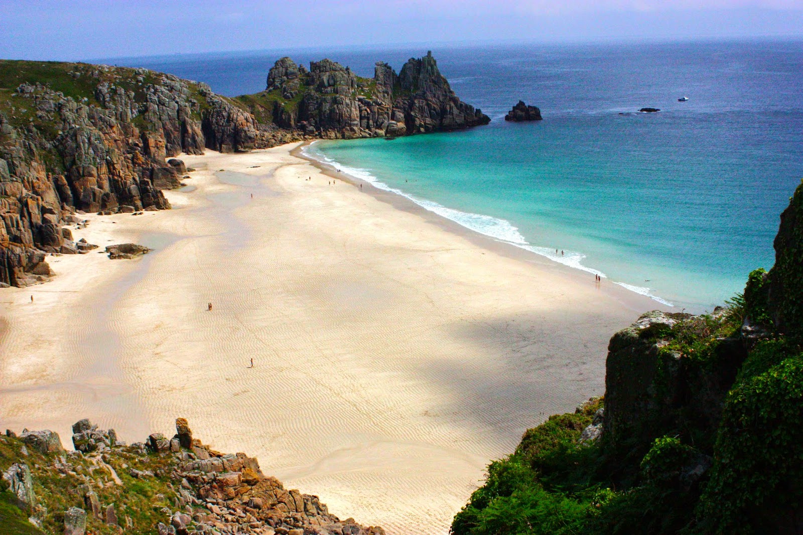
Logan Rock 

When we began the South West Coast Path (Cornwall) we did have a small idea of what we might expect, having done a chunk of the Pembrokeshire Coastal Path with the Oxford University Walking Club when based there. But that was Wales, and this was England, and I always have trouble ridding myself of the notion that England is unpleasantly crowded. I’m sure the big cities are. The country regions remain magnificent.
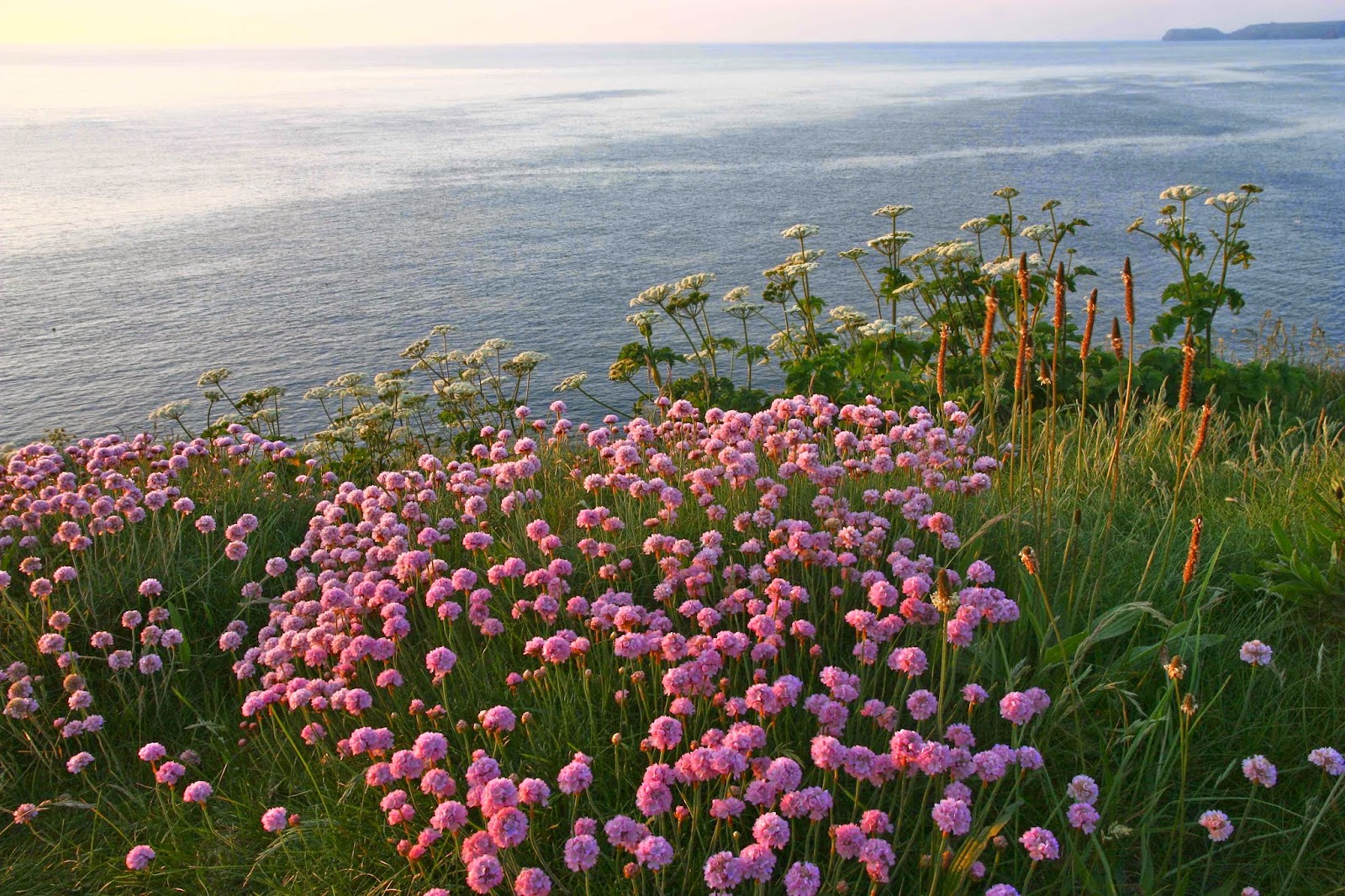
Near Port Isaac

Our starting point in both 2011 and ’12 was Padstow, plucked originally out of a hat, but having the advantage that public transport went there, and it had good press. We flew to Heathrow, caught the bus that went straight from the airport to way out west and sat for another five or so hours, had one more change of bus and we were there, over forty hours of travel accomplished (both times). As you might imagine, we arrived feeling that rest at last would be very nice. It was just after 5pm, so all offices were closed. The town was completely booked out. (Next year, 2012 we took the precaution of making a booking).
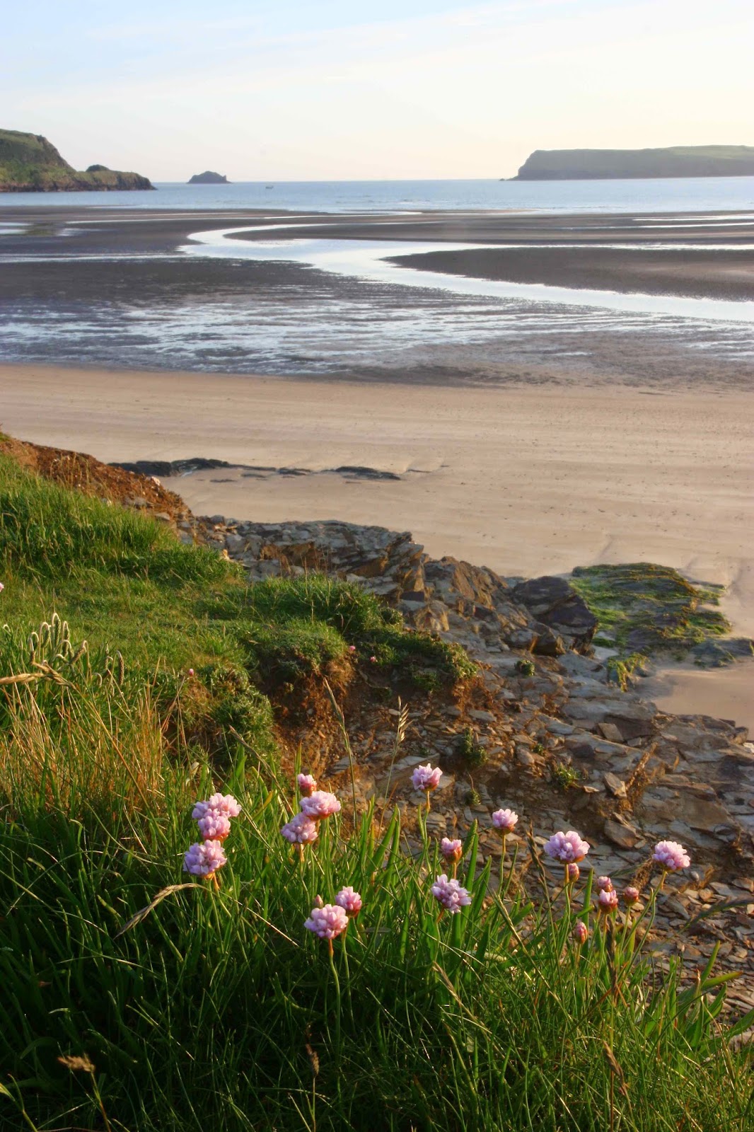
Padstow, first morning

Oh well, the next village along the route was only 8 kms away. Might as well begin the trail right now. We shouldered our packs and set out, heading south west along the headlands. I have nothing against sleeping under trees, but unfortunately somewhere in that 8 kms it started to drizzle. We needed a roof over our heads, and a feed wouldn’t go astray either. In the meantime, however, the walking was a marvellous tonic: how wonderful it was to have the sea air massaging our faces, the light wind tussling our hair, to smell and see the English coastal countryside, the stone walls and English trees, the sheep that are different to our own, and the English wayside flowers. It was also grand to be moving after such a long period of sitting. This was the perfect beginning. In no time, the village appeared.
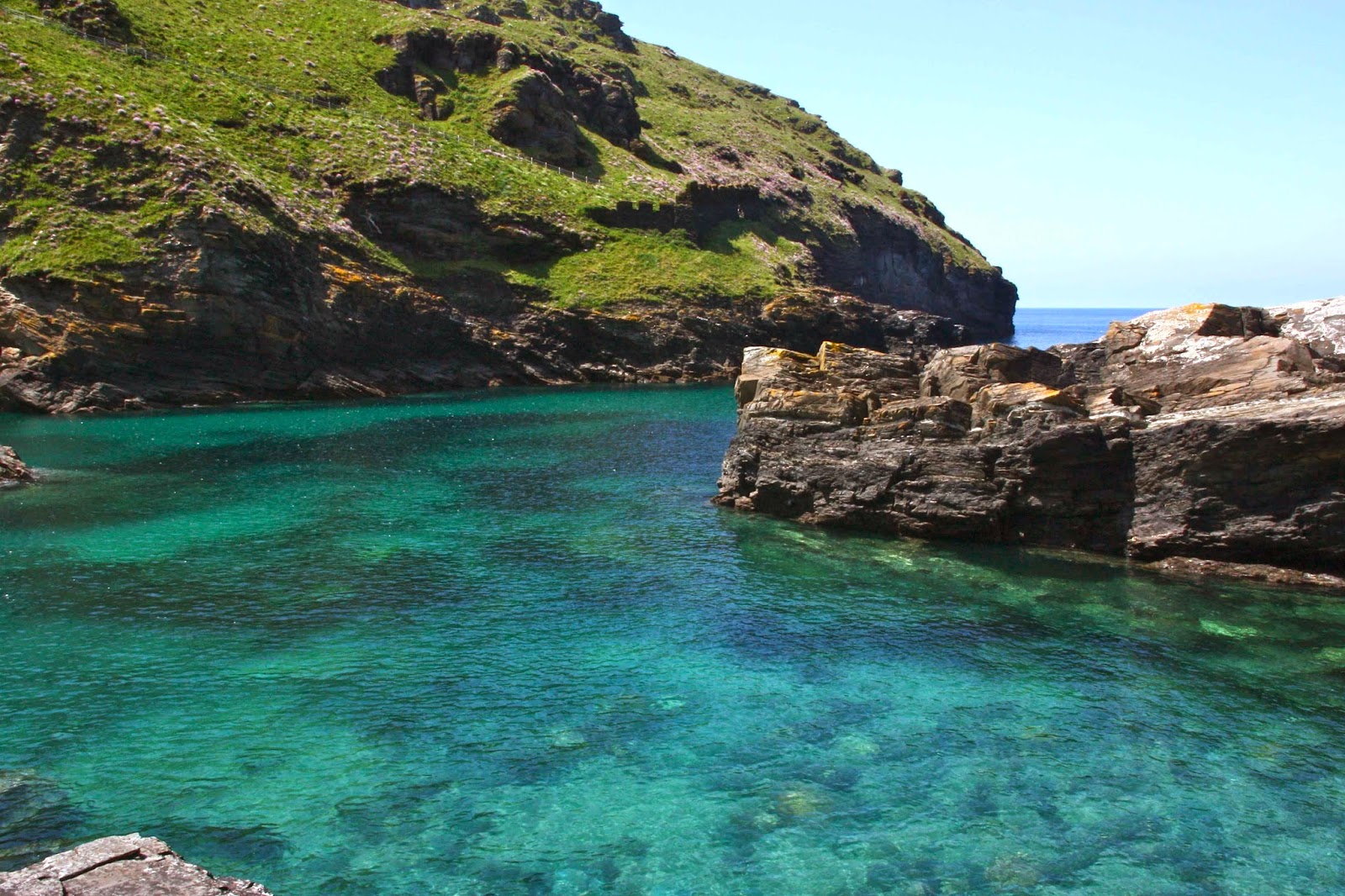
Near Tintagel 

There was trouble getting a room even here, but with the help of a friendly shopkeeper and an obliging family who were about to open a B&B but were not quite ready yet, we found a bed and roof, and the best breakfast imaginable next morning. That night we went to the pub for a meal, and I did the old slapstick comedy routine of falling asleep with my face in my lasagne. It lacked originality.
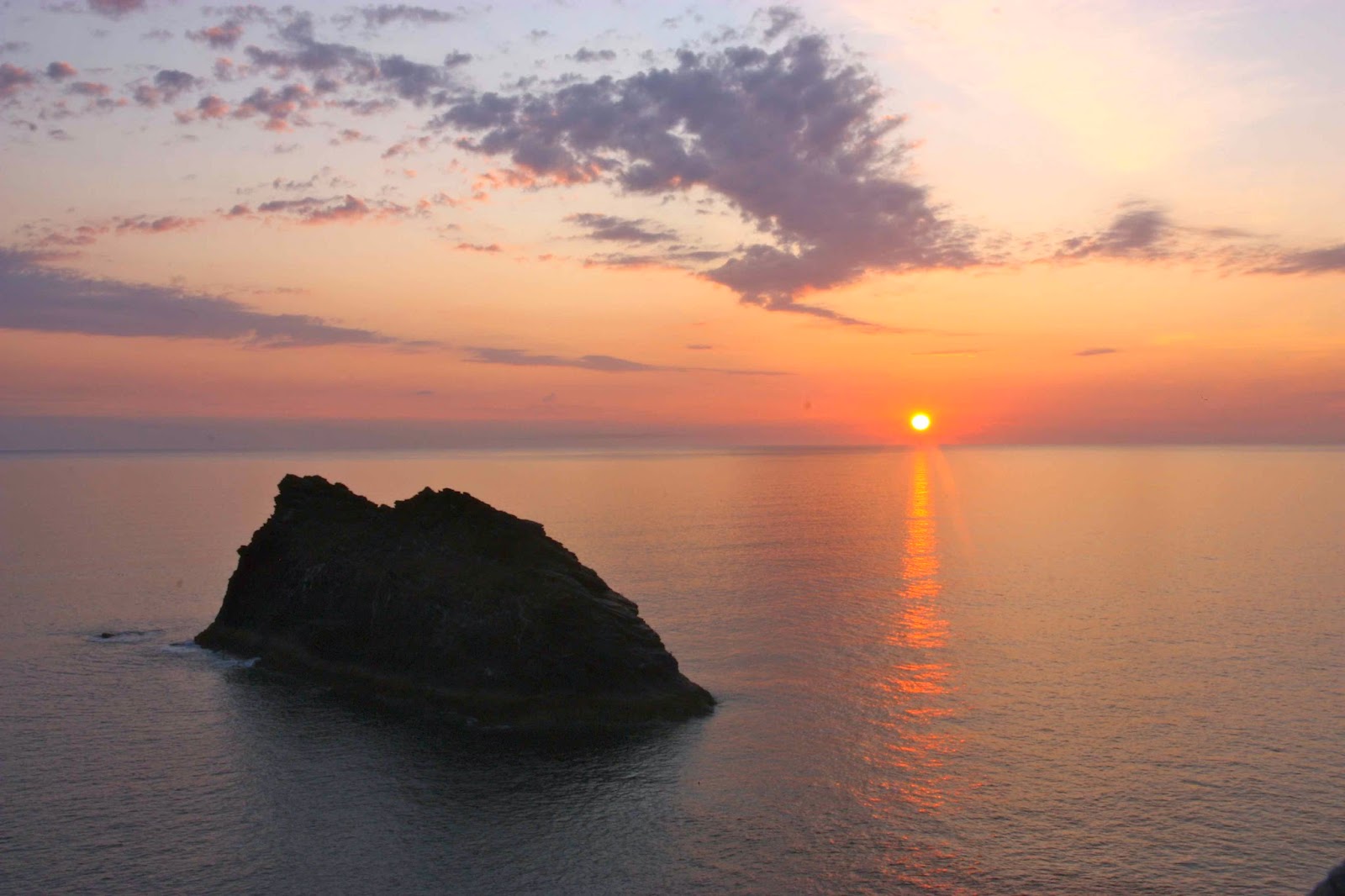
Near Boscaslte

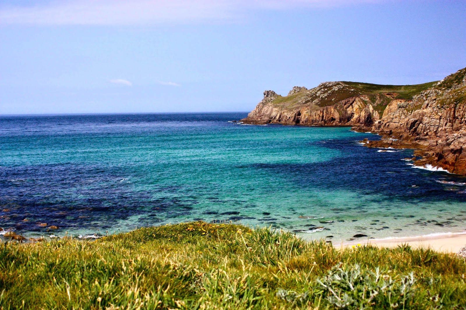
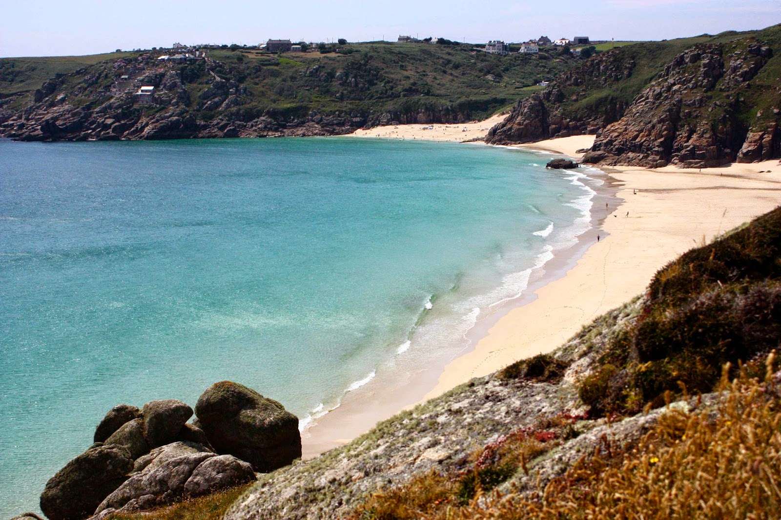
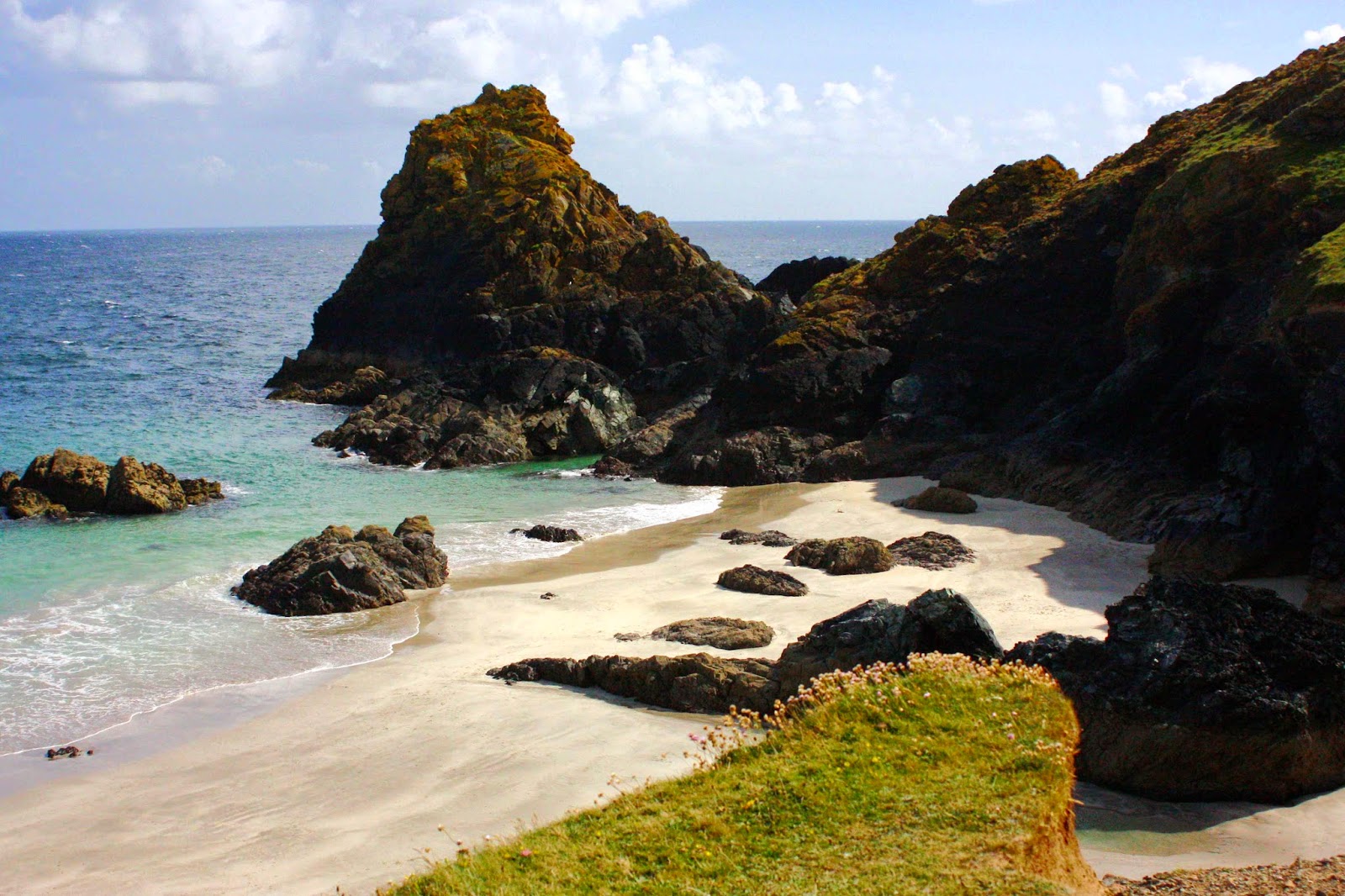
Filled to the plimsol line with porridge, croissants, berries, cooked tomato, mushroom and eggs, great coffee, home-made jam and more, we bloatedly set out to begin the real journey. The air was still misty, visibility reduced, and yet everything thrilled us. The path, for major stretches, is high along the cliff tops, with a fabulous sense of space. The grass was verdant green – the British speciality – and the sea an arresting cerulean blue from the distance, totally transparent and dancing with glittering light up close. I loved looking down on the tiny coves, perhaps with an imagination informed by Enid Blyton as a child. A cove for me is a place of romantic adventure, excitement, mystery and wonder as well as beauty.
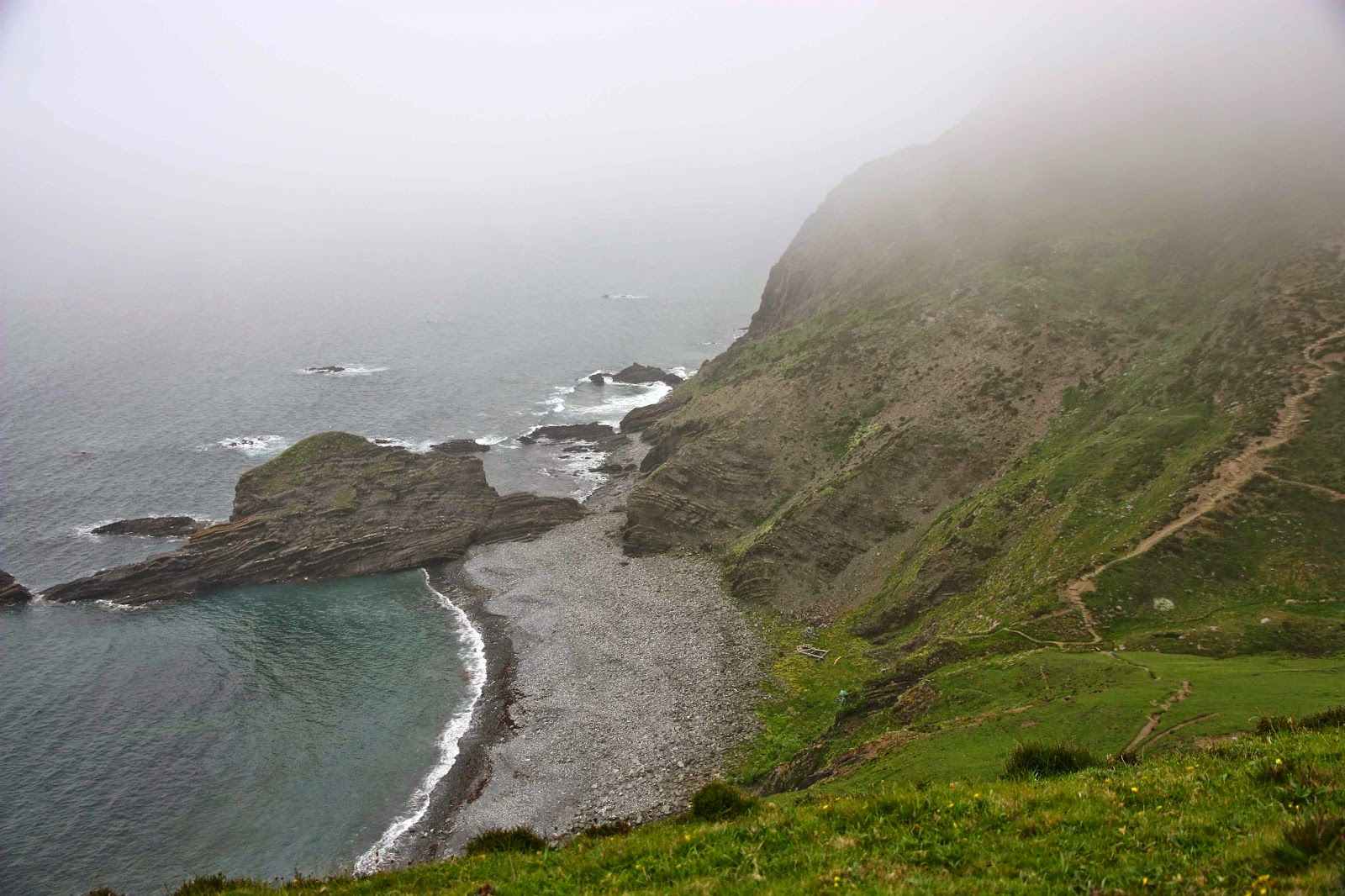
Near Crackington Haven. One of only two overcast days.

What we were offered was a series of endless variations on a theme – each one having its own unique stamp to keep us absorbed – just like each of the over eight hundred eucalypts is very like its other genera members, yet different enough to provide entertaining variety. Here, we had hundreds of  kilometres of coves, beaches, headlands and villages, and yet every single one, whilst being recognisably like its ambient friends, was also unique. If you’re a bored type, you can dismiss huge groups of things under a single generic heading, “Oh, they’re all just fungi, or trees, or mountains”, but if you look for the differences and immerse yourself in those – better still, learn the name of the distinguishing features – then those differences will entertain you.

SW of Padstow

So, for us, it was not a matter of another cove or headland, but we delighted in the variety of size, shape, colour, aspect, lumps and bumps, the particular rocks or islands visible, or the caves or arches that were there.
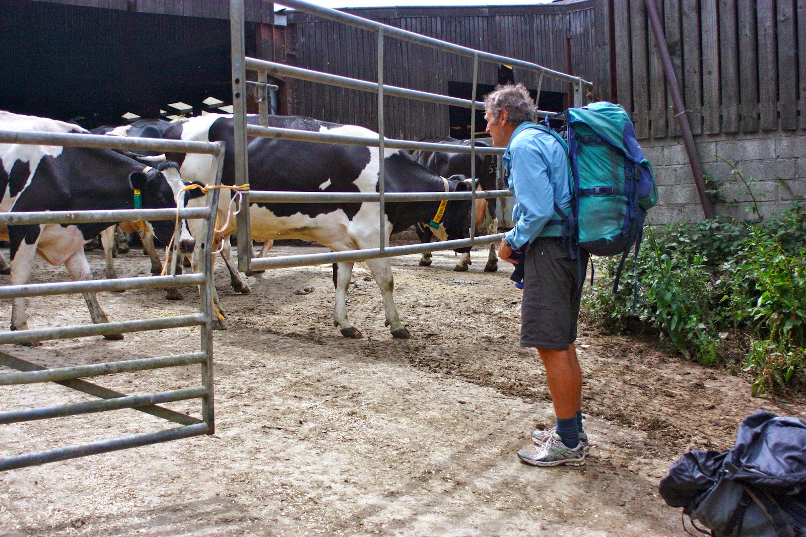
My husband’s Parkinson’s disease was not going through a good patch in either of our times there, but the infrastructure of the area gave us enormous flexibility. Unfortunately, the first and final days were the only ones where he could last a whole day with me. On the others, he would either not walk at all, or do half a day, and cover the remaining distance by bus.

 

That way, I could throw down the pub breakfast of prefab croissant and unexciting coffee – with porridge if I was lucky – and leave Bruce to luxuriate in the full English breakfast, which he adores, grinning like a naught schoolboy, possibly because it is very different from the fare he gets at home. He likes to be able to chew slowly and take his time, which does not suit my restless spirit much, especially at the start of the day when I am just itching to be outside in the golden light and the dew. I wave farewell, pack on my back, and I’m off. He knows which village I’ll have my lunchtime soup in, and which one I’ve chosen for that night, and he knows to meet me at the pub closest to the water. It always worked. I was free to dance, run, dawdle and photograph … whatever. I felt very free. It’s nice to choose my own pace in a world of compulsion.
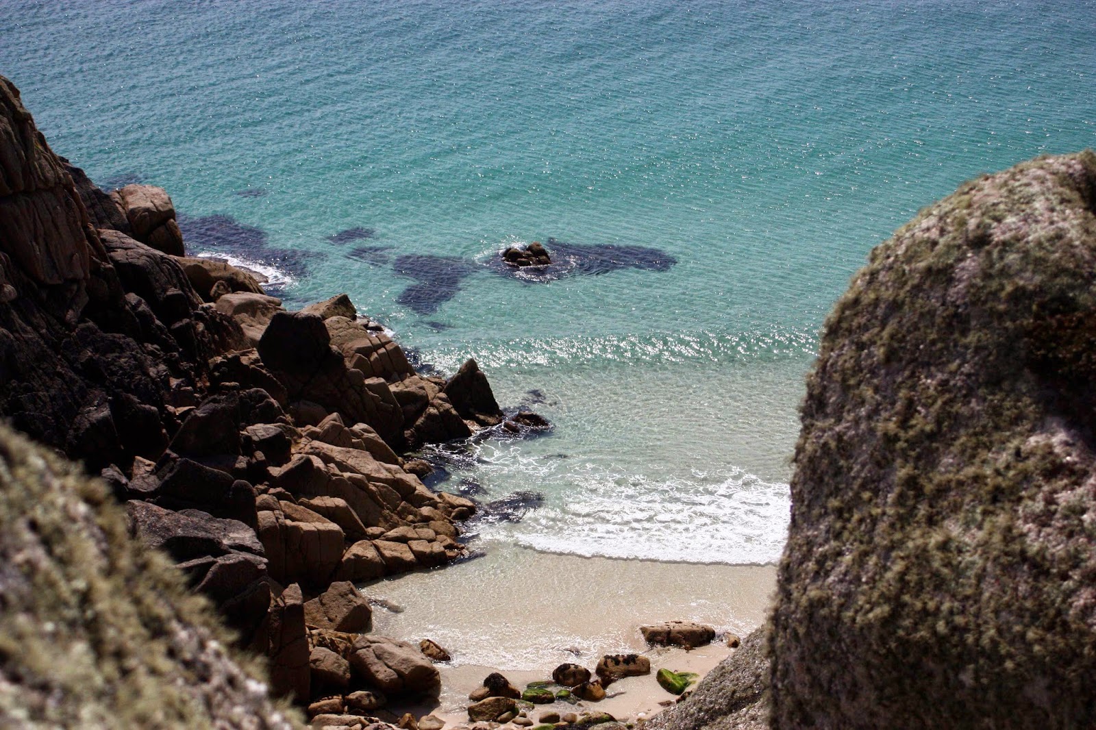
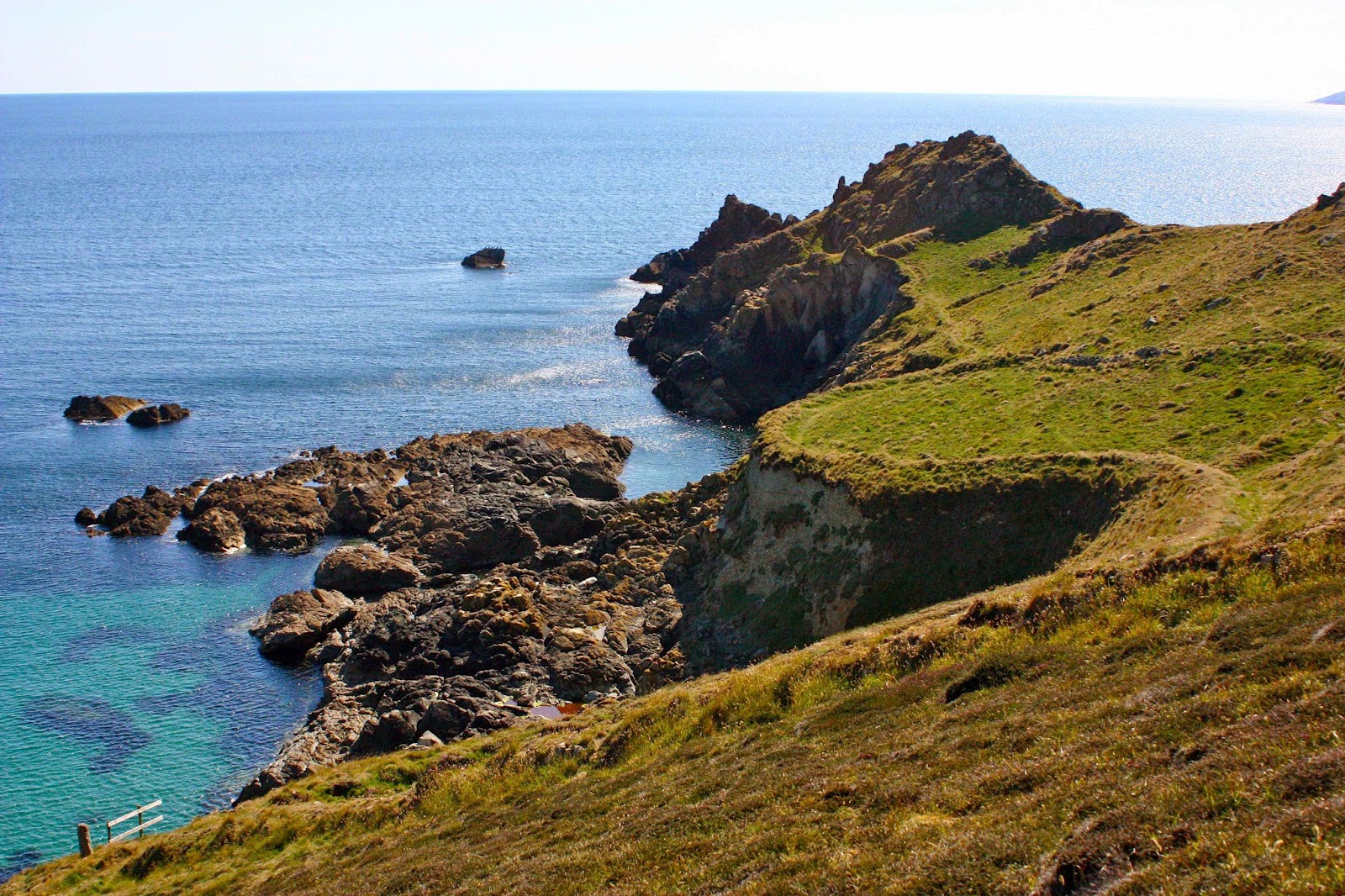
In 2012, as said, we started once more in Padstow, but went in the opposite direction. As we’d made a booking this time round, we got to explore the town the evening of our arrival, which was good, as it’s very quaint. Its popularity is there for a reason. The next morning we were both up at about 4.30, excited to be there, and wondered the coast for hours before the British breakfast time. It reminded me of my childhood, when I seemed to have lived a whole life before my parents awoke to break their overnight fast. They never had a clue what their innocent-looking daughter had been up to.
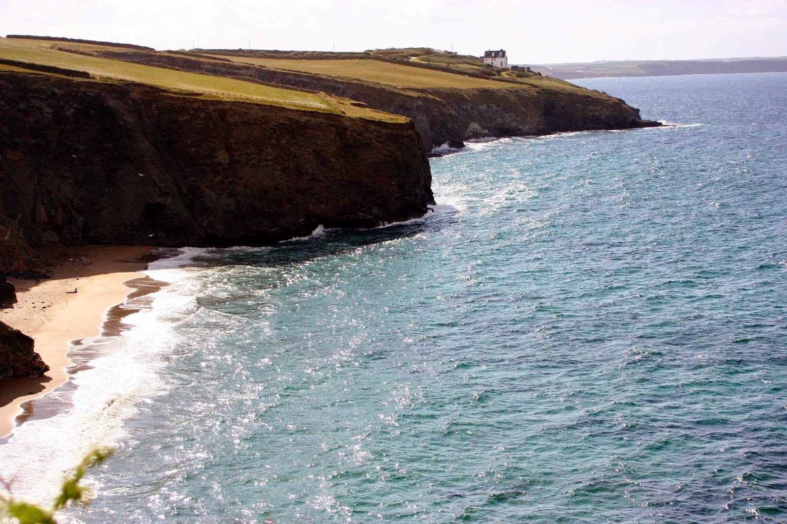
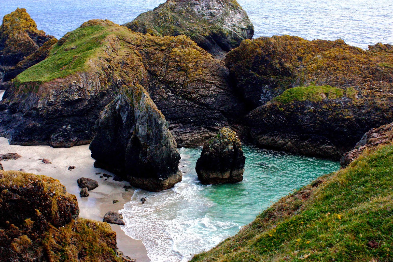
 

We used the same modus operandi this year as well, so I mostly walked alone and met Bruce at the far end of the day, when he would often walk backwards along the track to intersect my route, having settled in our pub for a bit first. I carried my pack, not because I needed to, but because carrying a big pack is, for me, part of the necessary apparatus of a proper walk. Without it, the walk becomes something else – a daywalk and not a pilgrimage. My pack connotes freedom, adventure and excitement. I want it there with me.
This method meant that Bruce could do exactly as much as he felt he could manage without being ruled by the distance between villages, and gave him a gradual easing in, a transition between his hectic but sedentary schedule at home, and the long-distance paths we were about to undertake. The website for this walk says that its height gain is the equivalent of climbing Everest four times!!! It’s no wonder Bruce found it challenging to do straight off the plane. You are constantly going up or down, and very steeply. Gradual slaloming of the path to tone down the steepness is for the Swiss, not the Brits. They attack each rise head on. Short but sharp, but they add up and take a toll if you’re not conditioned for it.
 I would like to return to this area one day. My memories of it are happy. It warrants another visit – with better photographic equipment and methods next time.

SWITZERLAND 2014 Tour de Monte Rosa

SWITZERLAND Tour de Monte Rosa. I have the full report of this terrific route written up under the Italian heading, as most of the time was spent in Italy. The first and last days were, however, spent in Switzerland, and most people start there, so I am just posting a few photos here in case this is where you go searching, The main blog is under the link:
http://www.natureloverswalks.com/tour-de-monte-rosa/


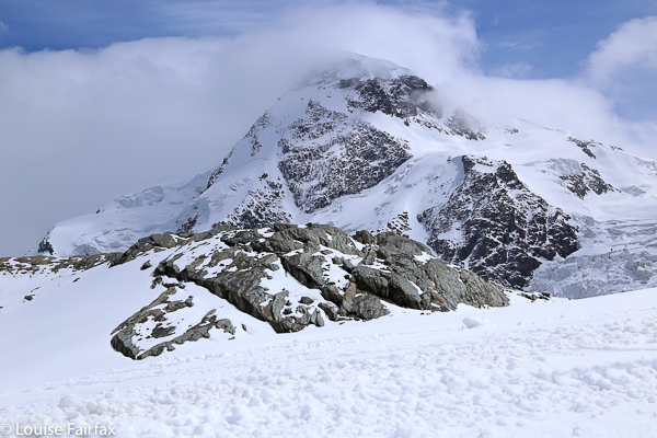
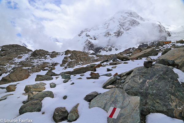
This is our glorious path. If you look carefully, you can see the hut tucked in under the Breithorn. That is where we ate lunch. We still had a way to go yet before our evening’s lodgings in the Theodul Pass.


I have always loved the Breithorn. Passing underneath it was wonderful.


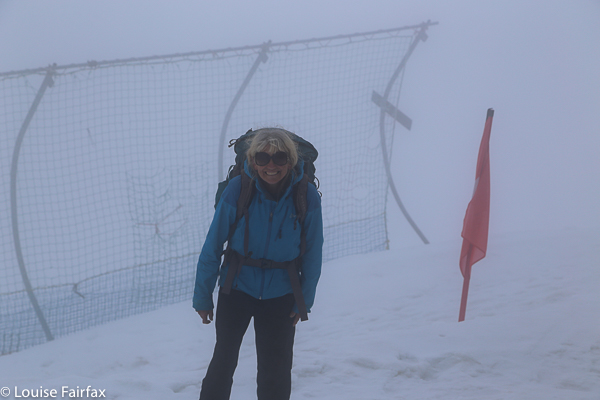
Arriving in  fog so thick we couldn’t see our feet for half the time. We didn’t see the hut until we were on top of it.

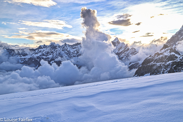
The view out the window during dessert time. We all ignored our food and rushed outside.


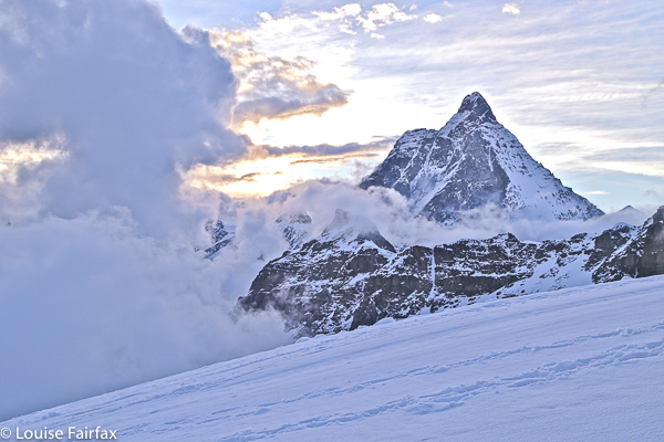
Yes, that’s the Matterhorn, close enough to kiss. How I love her. And she’s mine. Not half proprietorial, am I.

Day 7, leaving Italy: a day of great sadness. The pass just behind me is the border. From then all it’s all downhill, literally and metaphorically. This remains a very sad day of my life, as I now know it marks the end of an era for Bruce. Bit by bit life’s pleasures became lost to him, and he had to keep scaling down what he could do. I am so, so glad he got to do this and that we shared this extreme beauty together before it was too late.

Western Arthurs 2014 Mar

Western Arthurs 2014 


In the 1320s, Petrarch wanted to climb Mt Ventoux (Windy Mt), as he was curious to see the view from the top of that mountain that dominated the landscape where he was situated at the time. In those days, climbing a mountain was not regarded highly, so he tried to justify his actions by precedent: King Philip of Macedon had climbed Mt Haemus to satisfy his curiosity about the view, so why couldn’t he, “a young man who holds no public life” do likewise?


Having assuaged his guilt at seeking to admire something so tellurian as a mountain, Petrarch’s next problem was to find a suitable companion. His words, written 700 years ago, mirror my own concerns when choosing a fellow climber. He wrote: “I now began to think over whom to choose as a companion. […]. One was too apathetic, the other over-anxious; one too slow, the other too hasty; this one too gloomy of temper, that one too gay. One was more simple, the other more complex than I should have liked. This man’s taciturnity, that man’s loquacity; the heavy weight and obesity of the next, the thinness and weakness of still another were reasons to deter me.” His solution was to choose his brother.


Like Petrarch, I have had a plan: namely, to return to the Western Arthurs and climb the peaks I walked past last time. Like Petrarch, I too would normally choose a family member. But this trip was too ambitious for my husband; my first-born daughter has a baby to mind; and my second-born daughter not only lives far away, but never has any time free for such extended trips. Meanwhile, my venture was too dangerous to do solo. My plan got put on my queue of other similar plans with problems.


Imagine my delight when I received an email from a new climbing buddy asking me if I would like to do the trip I had been forced to postpone. Excitedly, we made our plans. We’d climb everything as far as Pegasus (which I had already climbed) and then, on the third day, descend to meet up with our Pandani club friends and climb Mt Robinson with them. My husband would come in with the Pandani group.

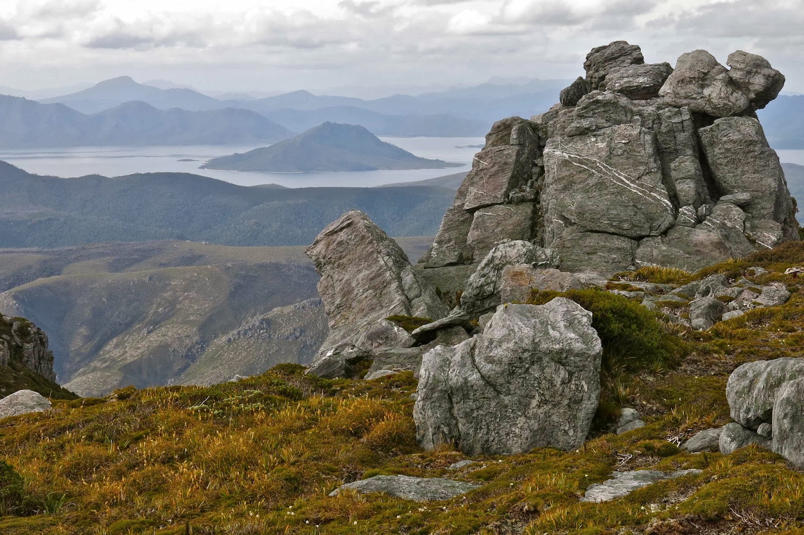
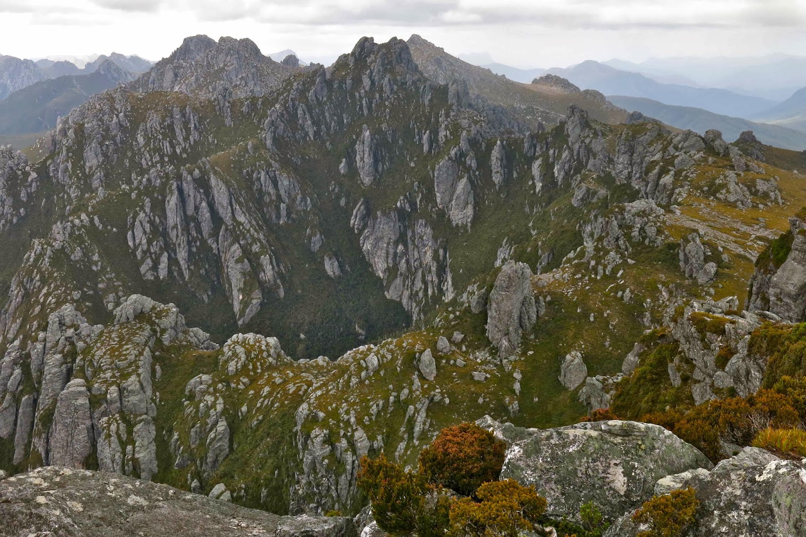
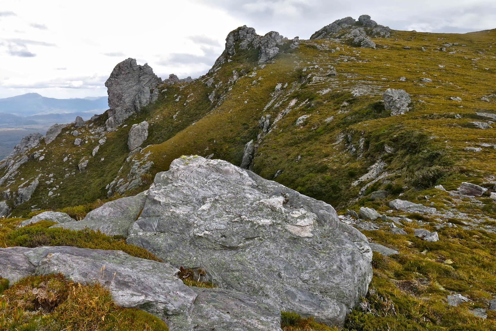
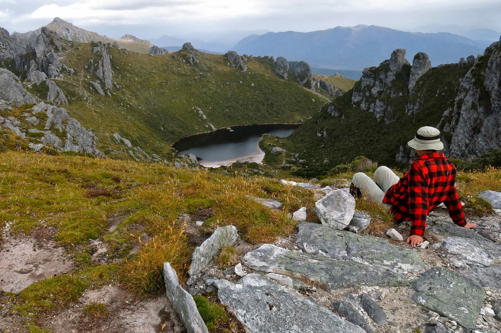
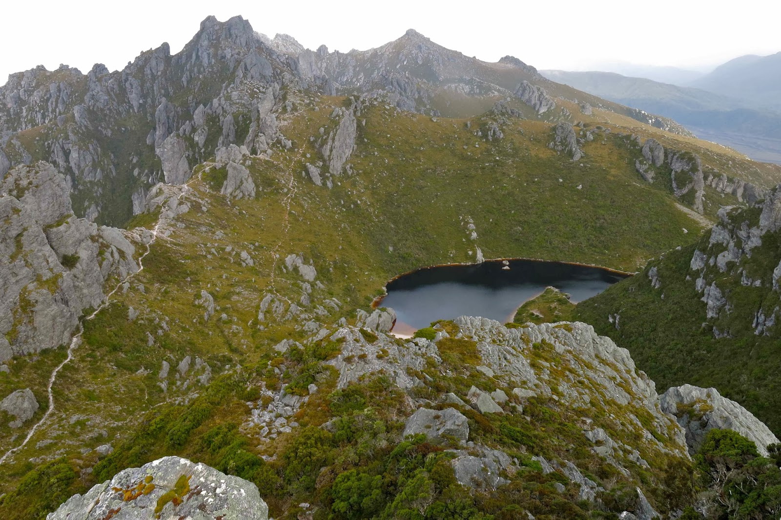
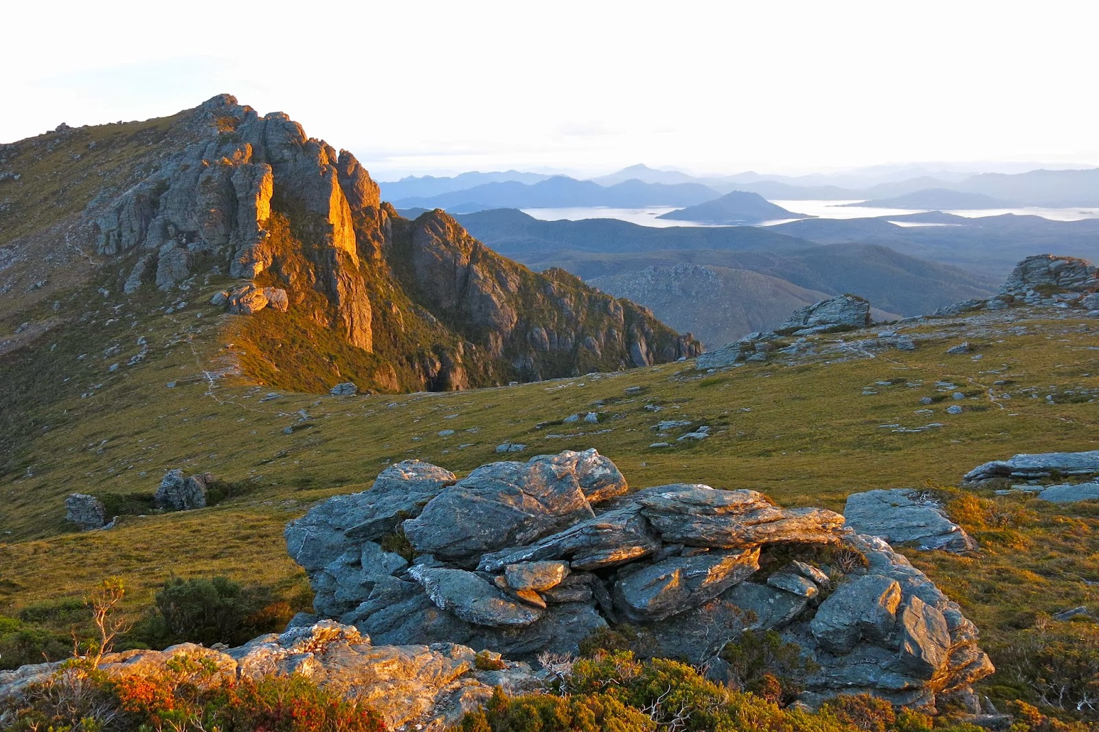
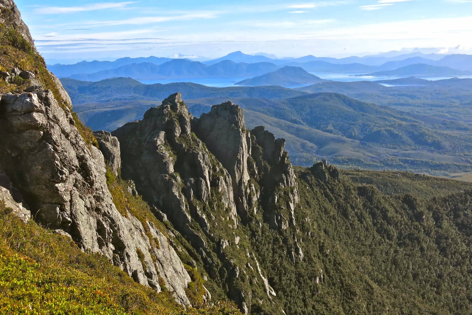
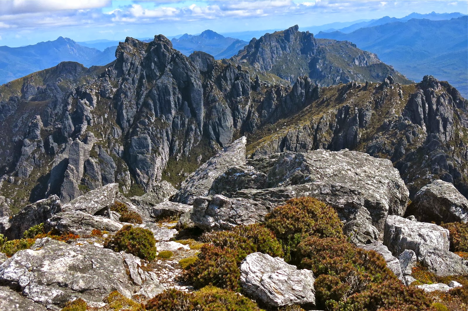
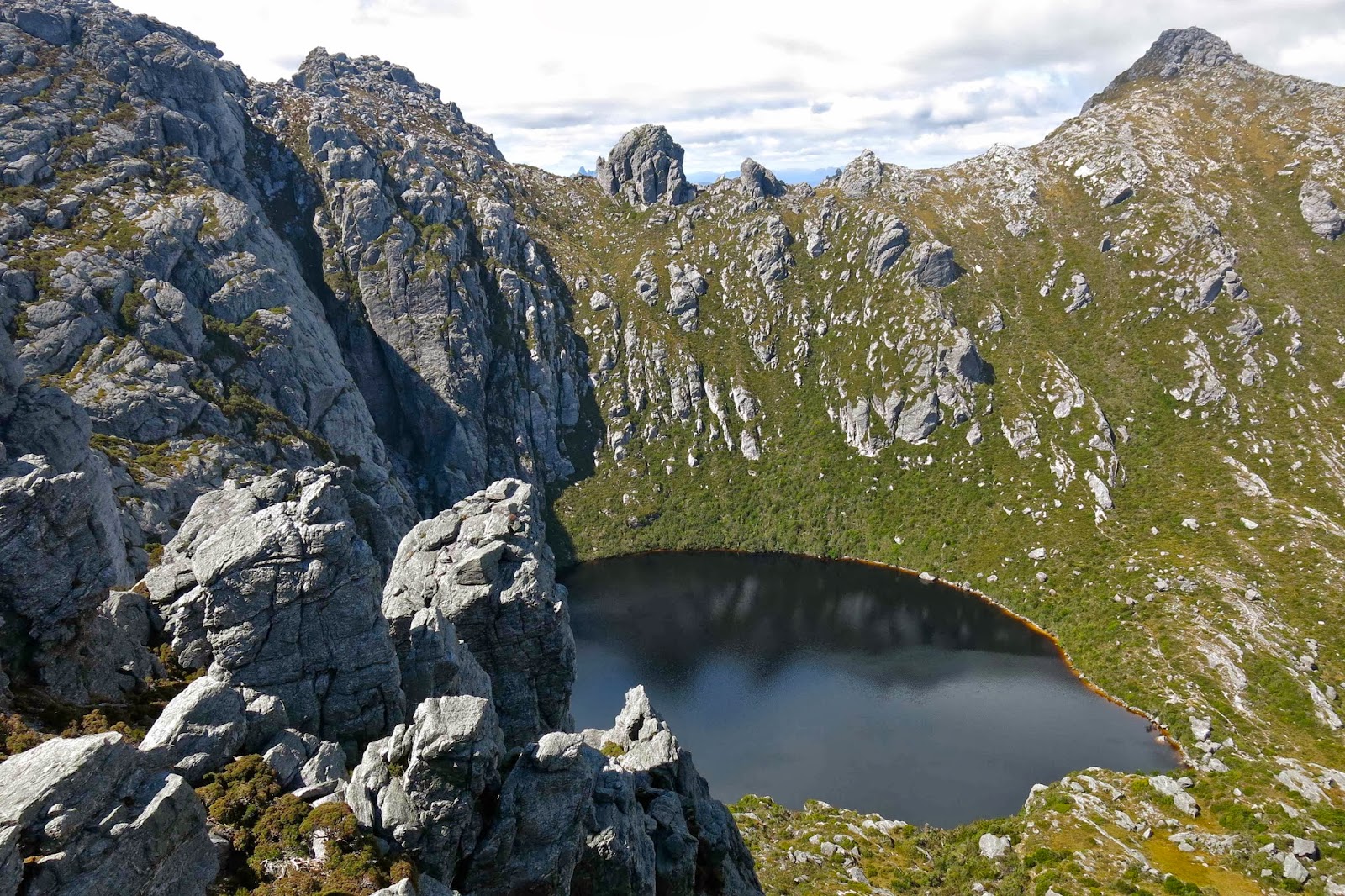
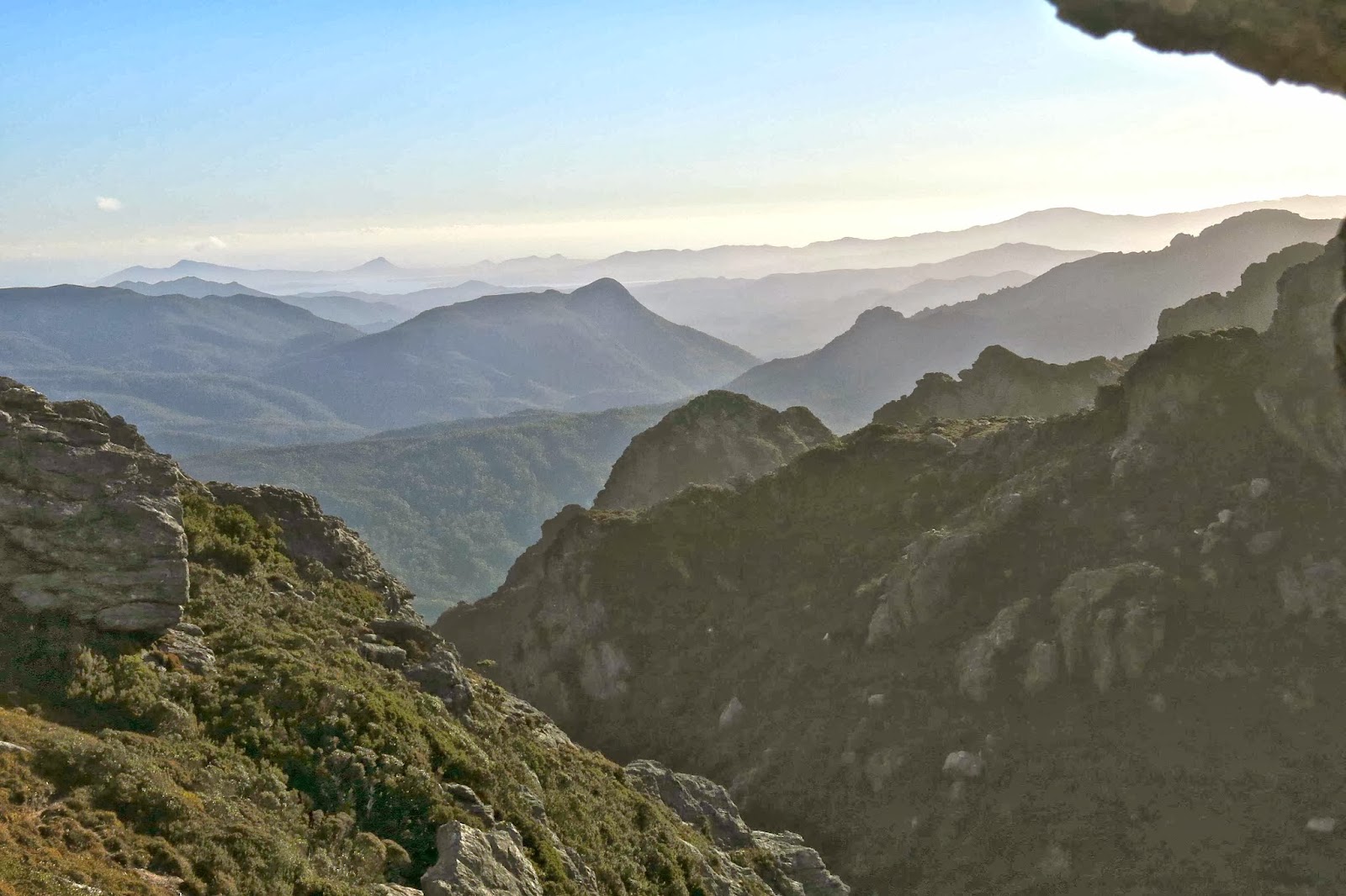
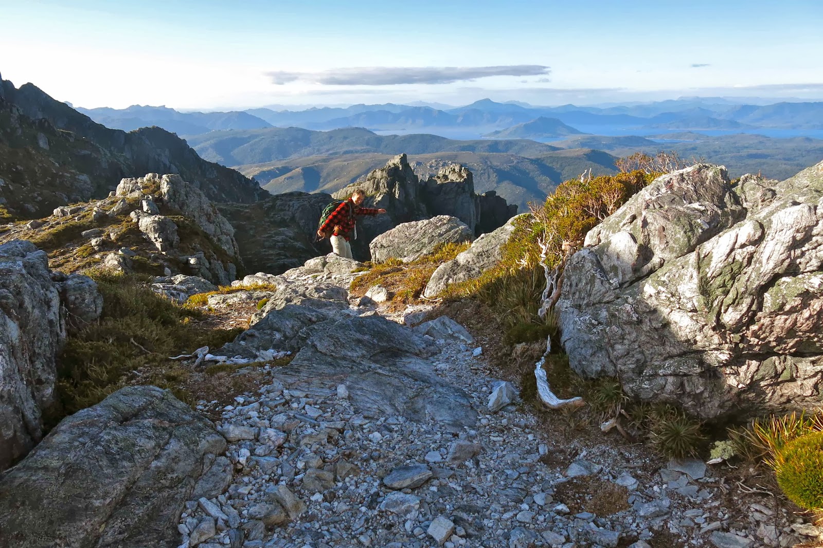
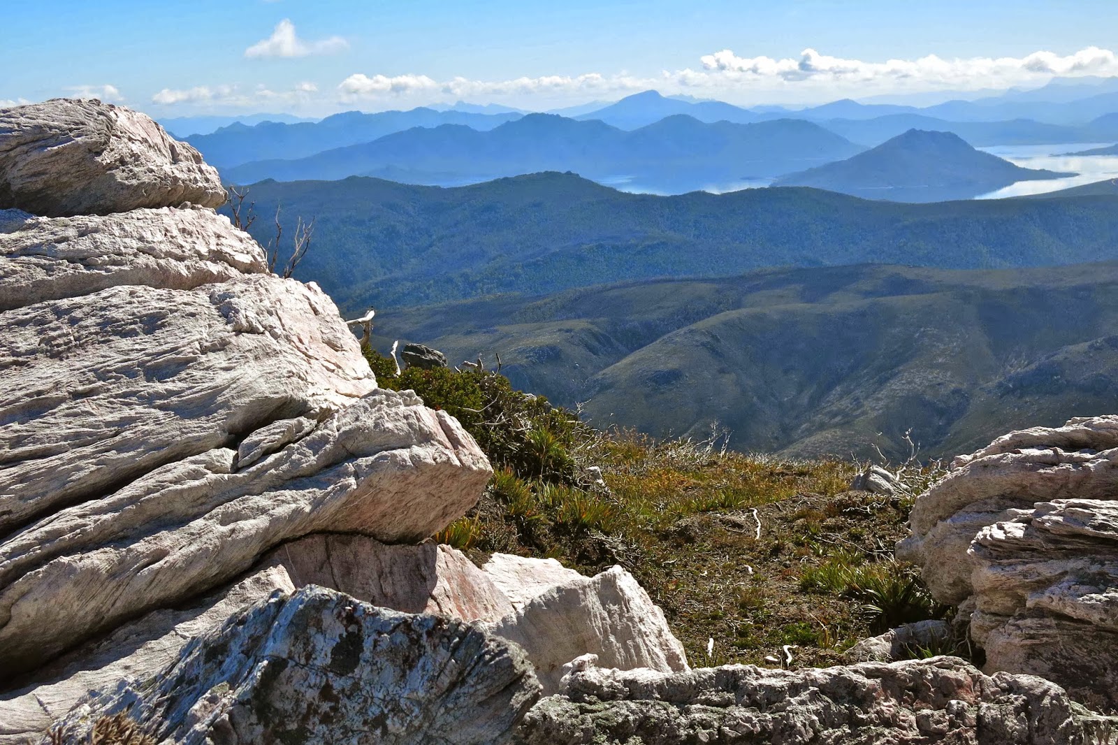
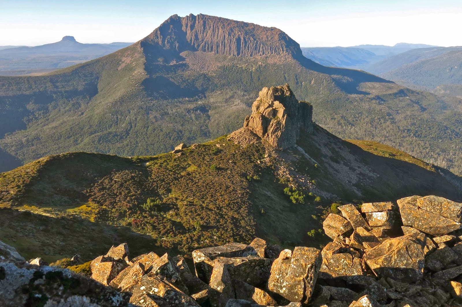
I have my old photos; I have seen those of others. Nothing, however, can quite succeed in conveying the wonder and glory of the view that begins near the top of alpha moraine and continues with you as you delight your way along the ridgeline of the range. It’s not just that you can see “forever” (so it seems), or that the mountains that form layer after layer of graduated silhouettes are so shapely: part of the allure is from changing focus from infinity to macro and still finding wonder. For me, the rocks are particularly appealing. Some are piles of pancakes; some have been twisted and warped, while others jut sharply into the sky. Some are soft grey, others pure white; some have a hint of pink.

Unfortunately, most of the wildflowers had finished for the year, but stunted Eucryphia (leatherwood) perfumed the air with their blossom as did another (unidentified) regrowth plant, which seemed to project its fragrance afar like a ventriloquist.

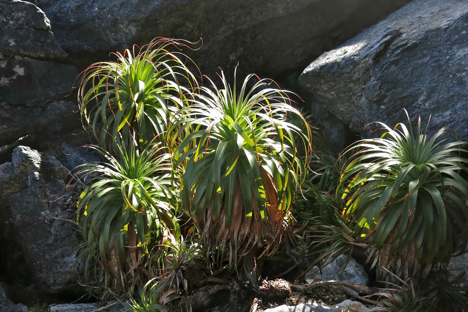
There were some Blandfordia (Christmas Bells) in flower, and an orchid or two; the Drosera (sundews) had huge flowers, and the darling Utricularia dichotoma (fairy aprons) spotted the dark mud with their delicate mauve beauty. Up high I saw a few Ranunculas. Meanwhile, the approach of autumn was heralded by mycena and hygrocybe fungi. Near and far, it was all magnificent.


The other thing I love about mountains is that you have to climb them, and I adore the act of gaining height: I find it exhilarating (and hate being asked to stop before I reach the top). In the Western Arthurs, there is an endless variety of lumps and bumps. It’s one of the best playgrounds imaginable in its perfect provision of “structures”and vistas.

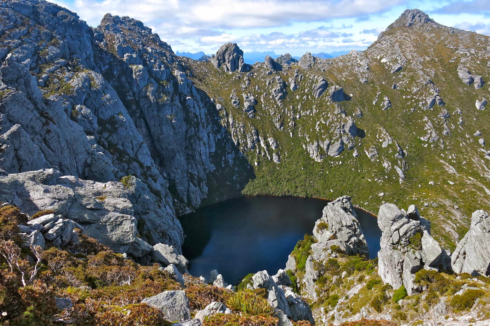
Once we were up on the ridge, forward movement was retarded by much clicking of cameras. Who can resist, with sparkling, tannin-coloured, white-beached lakes below; a cornucopia of other mountains around, and the blue of the much larger expanse of Lake Pedder to the north, and Bathurst Harbour and Cox’s Bight in the southern distance? We only climbed two mountains that day (Hesperus and Capella Crags), but were very satisfied as we descended to Lake Cygnus.

Day 2.

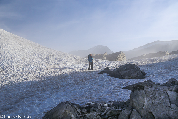
The next morning I was up before dawn and reclimbed Capella Crags before joining John for breakfast and the day proper. The sky became bluer as the day progressed, and we feasted on more wonderful high views to eternity. After Hayes and Procyon Peak, we tried to do the back route to Orion, but after 49 minutes gave up in a scrubby gully that looked as if it could lead to the summit, but gave no guarantees. For most of our route, drops into Square Lake were huge and precipitous. I was worried about ruining my camera if I fell in, but John assured me I’d be dead by the time I hit the water, so wouldn’t be bothered by this detail. Later, from Square Lake, we could see that the gully did not end in an unclimbable cul de sac, but we couldn’t waste the time experimenting when there. Off we set up Orion on a longer but easier way. It had been fun being adventurous and forging our own route.

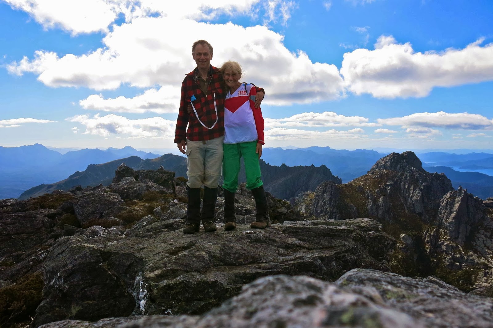
Mission accomplished – on top of Sirius, our last mountain

I think the views from Orion were perhaps my favourite, although I did love Sirius as it marked our “mission accomplished”. It was with a jubilant spirit that we waltzed our way back behind the mountains, popping out at various saddles that offered views to the north, and wended our way home to Lake Cygnus.

Day 3.
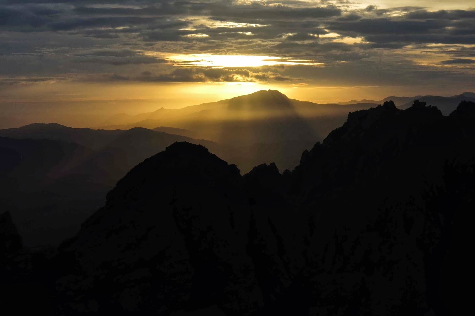
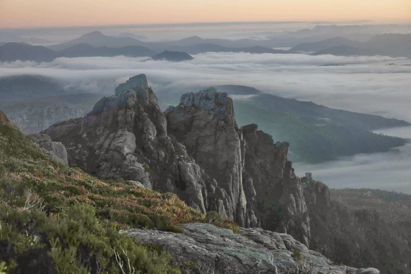
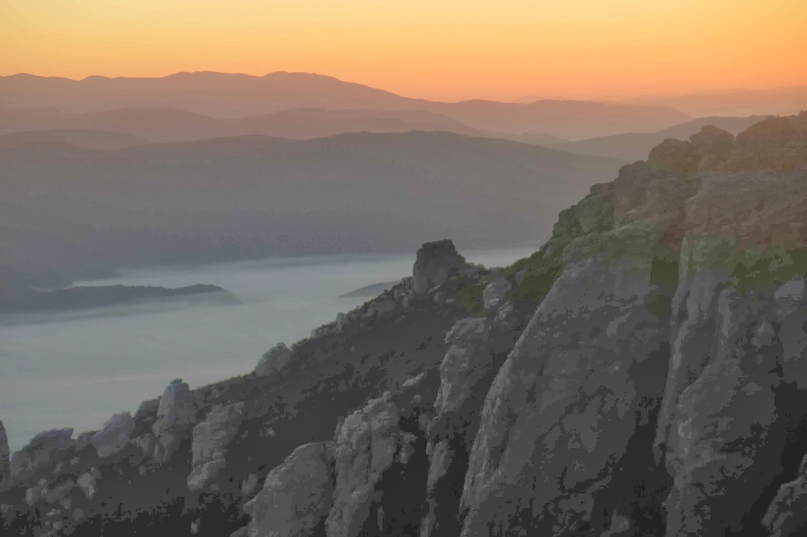
Once more, I was up before dawn, donning warm clothes and grabbing my camera to race to my chosen saddle window to see the sun rise behind Mt Anne. There seems to be something faulty about my hypothalamus, as I have trouble recognising satiety, so kept climbing, finding myself eventually on Hayes (but photographing while I went). This dawn was my favourite sort – soft pink tones over fluffy cotton balls in the valleys.
 After breakfast and a very leisurely decamping process (trying to avoid departure), we left our haven. Instead of following alpha moraine back, we pursued a spur leading not quite 180 degrees from it, and connected up with the Port Davey Track much further along. This spur is marked on old maps as having a route, but we found no trace of one. The fire of a year ago burned the vegetation out, and you can still smell ashes. Yabby holes abound. We got very black indeed. It was great fun freelancing over the hills and far away, choosing our own sub-spur until we reached the track again. Later that afternoon, the Pandani Group arrived, having walked in from Scotts Peak Dam. Everyone except wusses swam. I went to bed disguised as night.

Perrins Bluff, Mt Achilles, Mt Thetis 2014 Jan

Perrins Bluff, Mt Achilles, Mt Thetis Jan 2014

Dawn on the final day
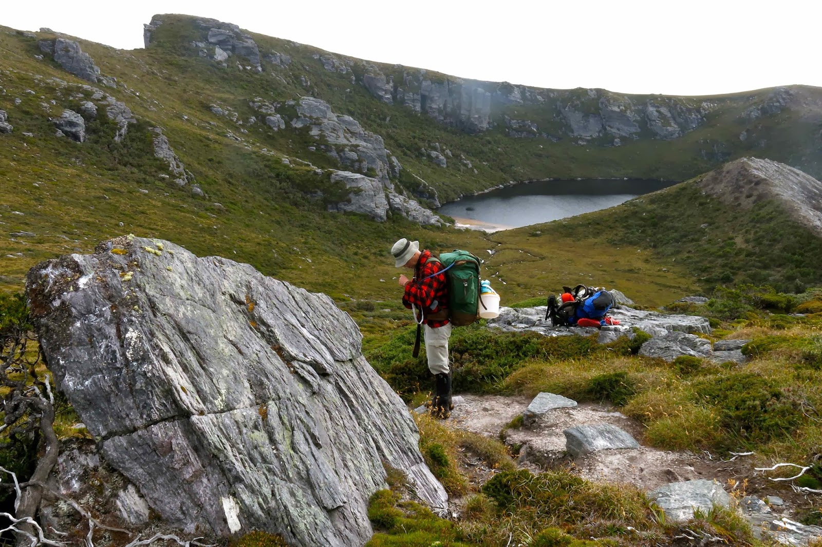
I am a person haunted by images, and the names above now evoke a series of wonderful mental pictures. They also connote smells of lemon scented boronia and agastachys odorata, and scenes of our group of hot, tired walkers trying to force a way through the bushy wall that confronted us as we climbed to more picturesque regions.
My story will begin with the first night, at Frog Flats, where we could see our destination up ahead. I had not actually wanted to camp here, but was somewhat placated by the gilded button grass and the numerous incandescent candelabras of bellendena montana, set aglow by the sinking sun.
Pelion West from Perrins Bluff
The trip from Frog Flats to Leonards Tarn is one of those “end justifies the means” journeys. The lower scrub was thick. There was a brief respite in some rainforest, and then the bush got even thicker. It took us three solid hours of shoving to get there, plus another hour spent in waiting, decision making, eating etc to bring the total to four. On several occasions I got spectacularly, almost irretrievably wedged between saplings that just wouldn’t budge despite my best attempts. They’d bent nicely for the five guys with me, but would not yield to my tiny frame. I decided that if I had been doing this solo, I would have died a lonely death by starvation or dehydration, permanently stuck. Maybe like Pooh Bear, clamped in the hole of Rabbit’s entrance after indulging in too much honey, I would have eventually thinned down enough to allow a weak escape.
 

Perrin’s spine from one of its many saddles
From Leonards Tarn onwards, things got better with each passing moment, (almost) justifying the scratchy approach. We quickly gained height and views as we skirted around Achilles to the left and climbed onto the Achilles-Perrins saddle with its picturesque tarns – a perfect camping spot.
From there we stayed to the right of the mountain in the scrub (nothing compared to the battle-fire fight of the morning) until a saddle about ten minutes from the end, when we crossed to the other side of the ridge (SE), walked along the shelf there and popped up an easy climb at the last minute to the summit.
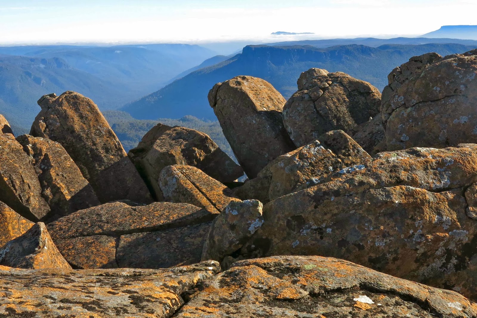
I loved not only the extensive views in all directions of ridge upon ridge of steely mountains, many of which were now old friends, but also the impressive dragon spine of the Bluff that led towards Pelion West and Achilles. It was even better than the similar tail of Mt Pearse.

Perkins Bluff from half way up Achilles
Things got even better! On the way back, three buddies and I decided to also ascend Achilles as part of this day’s takings. We climbed up the first major landslide chute on offer after the tarns in the saddle, tried a bit of landscape rearranging / boulder fire, and were, fortunately all still alive, on the top pretty quickly. By now the sun was starting to end its course for the day, and the mountains had that alluring misty essence to them, with others lit by brilliant contrast of dark, well defined shadows set against aurated protuberances. Perrins was at just the right angle to catch these cooperative rays.

Achilles’ Heel from Achilles summit

I didn’t want to try to emulate Cyclops throwing boulders at people on the way down, so cast a vote for descending on the other side, in the bushes. I really enjoyed the fast plunge down, basically making a bee line for our tents at the tarn in a long slippery slide that you’d pay a fortune to do at a commercial fun park.

Layer upon layer of misty mountains as seen from Achilles
To cap off a perfect day, the setting sun burned the dolerite columns of Pelion West, turning them, and their reflections in the tarn, red. That night, as with the previous one, I chose to leave the tent flap open to see the view better. Once again I was too warm to sleep, so watched the nearly full moon on its course above Pelion West and then Achilles. It sank behind the latter around 2 a.m.

Pelion West from my tent at Leonard’s tarn
The next morning, the same buddies (John, David and Brian) and I made our way up Thetis, heading across through scrub to a patch of fagus, and then moving like cats on all fours up the boulder chute until we hit a brief tricky patch that needed more care (I swtched from cat to orangutang), and in no time we were on top of the plateau, where there were tarns in a beautiful grassy valley leading to a very minor saddle on the left, and the summit was just up slightly, a bit further on (still to the left keeping direction) from there.
I was thrilled to have an extra peak, and an Abel at that, under my belt, and enjoyed the view, but I think on this occasion the fun of the climb outclassed the scenery at the top – but then, I have been fearfully spoiled over these summer holidays.

View from Leonards Tarn
After that summit view, it was downhill all the way, physicaly and metaphorically, as we turned our backs on the vista, enjoyed the bouldery descent and slid through the scrub at the end back to Leonard’s tarn, endured the thickety fight down to Frog Flat, and joined the Overlanders on the last trudge in to Pelion Hut, where we set up camp.

One of the views from Thetis

I thought in anticipation that this would be unpleasant and crowded, but I actually had a wonderful time, chatting on the verandah until late into the night with a very interesting bunch of people, having had laughs and good times with my own group up where we cooked dinner first. The design of that hut seems to lend itself to socialising out on the verandah watching the changing light on Oakleigh. I have decided I love it.

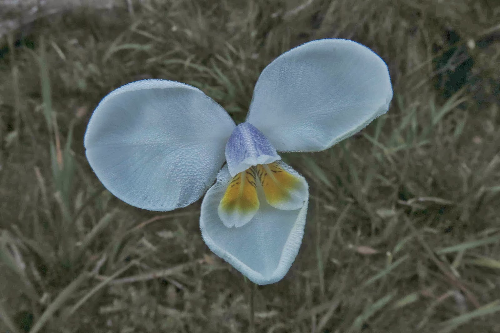
Diplarrana moraea
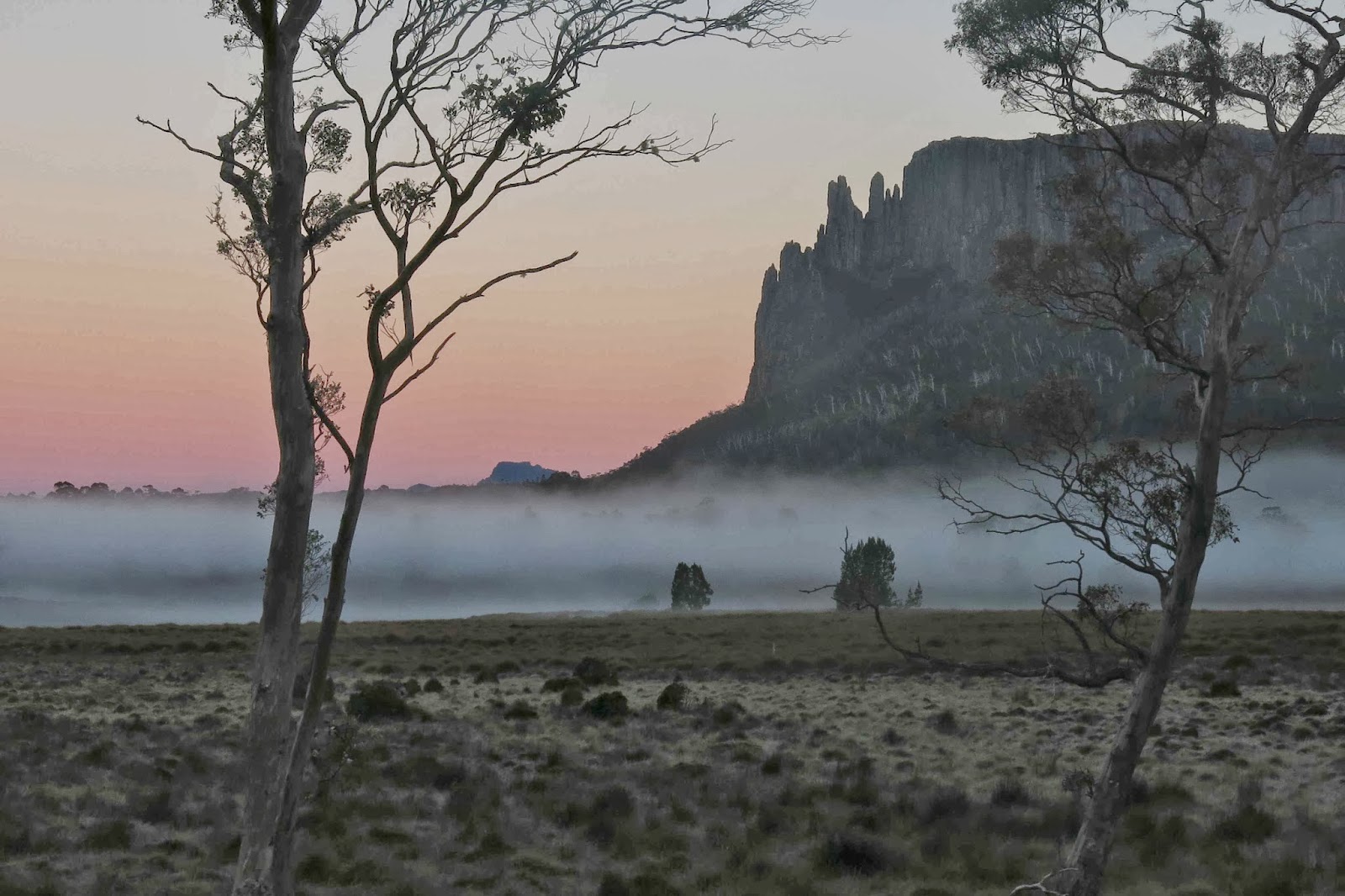
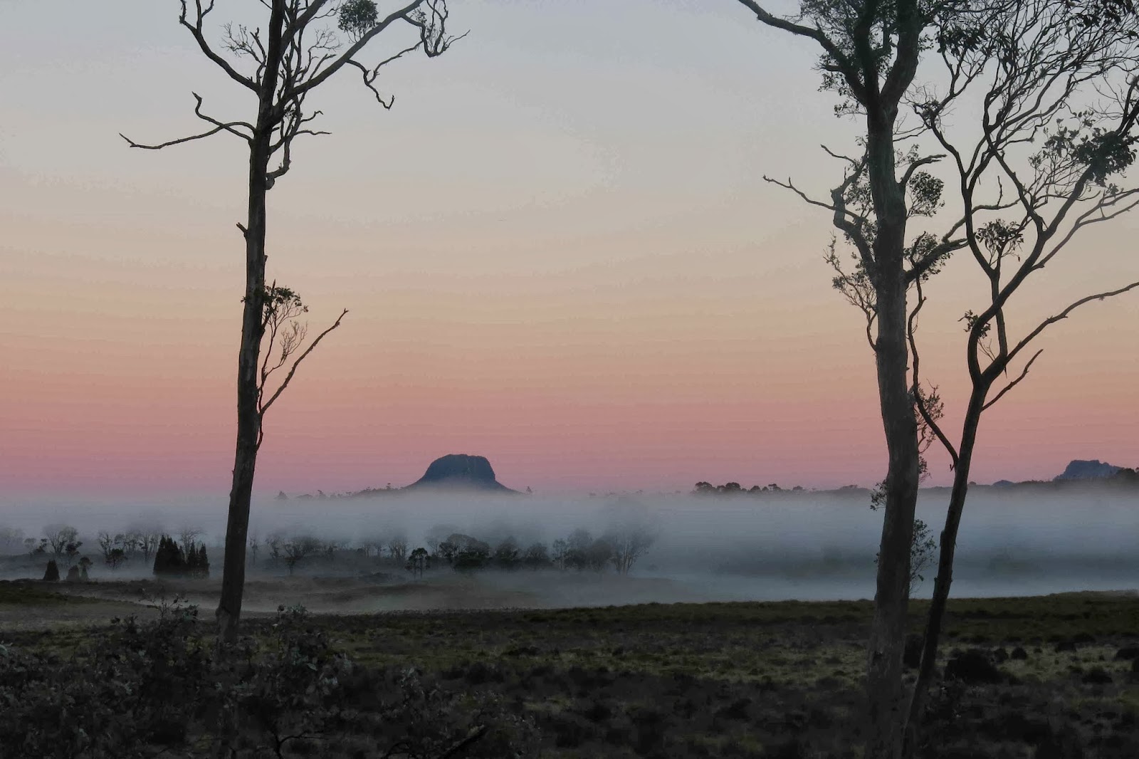
The final morning was perfect. As usual I was up before sunrise, and was treated to a mesmerising pastel Alpenglow behind Barn Bluff and Mt Oakleigh while mist mooched around the trees below.

Dawn on the Pelion Plains
Full of the joy of the dawn, I sped my way along the Arm River track, delighting in the luminated pink and cream richea scoparia along the way, the filigree, diamond studded spider webs and the large number of wallabies and paddymelons that hopped past me as I headed with purpose towards my double shot cappuccinos at Mole Creek. I needed them plus full blast, deafening music and full voiced singing to keep me awake all the way home where I arrived in time for lunch.

Cream richea scoparia on the Arm River track on the way out
Maps can be found in my posts on Achilles:  
http://www.natureloverswalks.com/mt-achilles/     and on Mt Thetis:
http://www.natureloverswalks.com/mt-thetis/  

Three Capes Track Tasman Peninsula 2013 Jun

Three Capes Track June 2013. (The real, old one; not the tourist version)

Unfortunately, I had family commitments the weekend I visited this beautiful area, which has now been very much opened to the general public with the popular Three Capes Walk. This visit was a kind of final farewell to the track as it used to be – a narrow bush path built by clubs before tourism took over and converted it into a highway. I am told the highway is very nice, and I realise more walks are needed for tourists … as long as Tasmanians who built these tracks and who pay taxes on them are not locked out in the process. I fear sometimes we are selling our souls to the tourist industry. It is such a delicate balance and a difficult game to play.
Here is a photo story of my brief visit.


Unidentified fungi


flammulina velutipes 


Looking forward to returning!