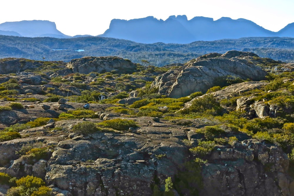
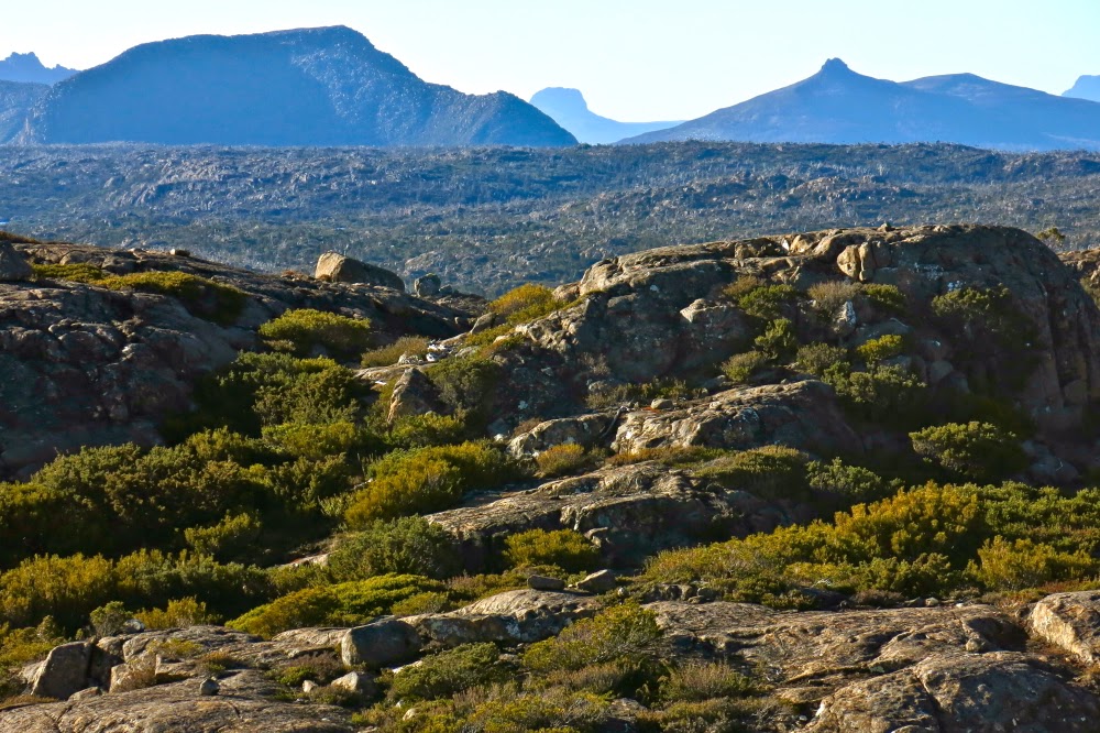
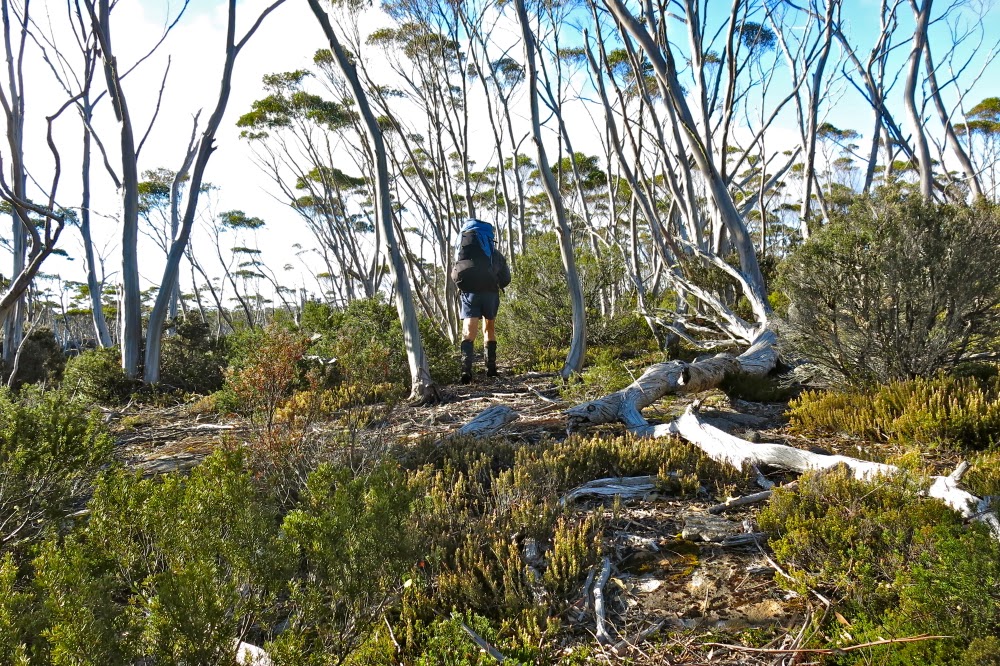
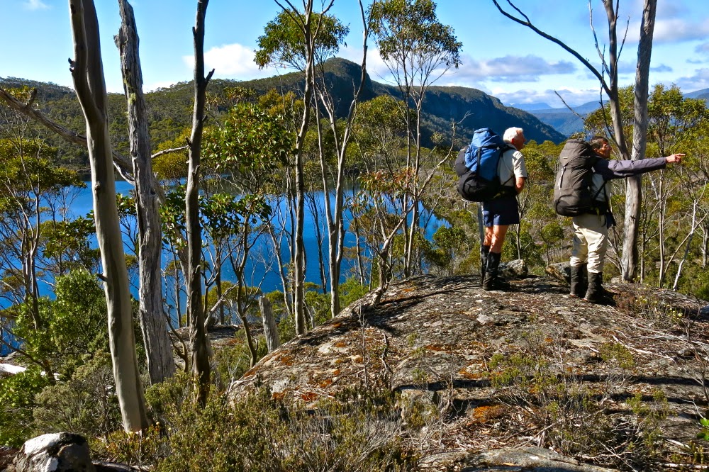
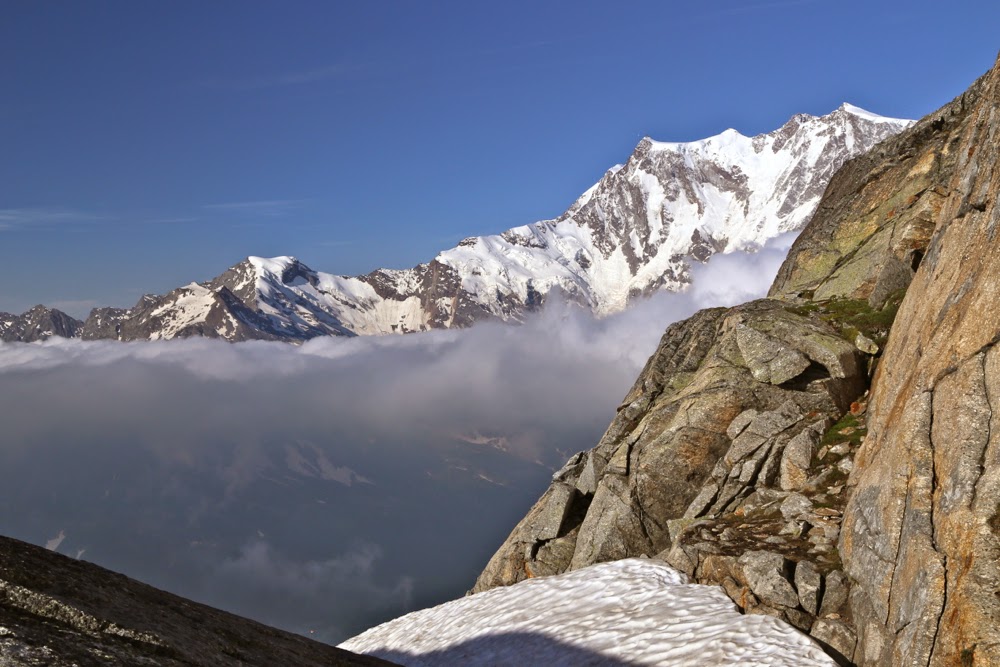
Freycinet loop 2014

Freycinet Loop 2014 Jan

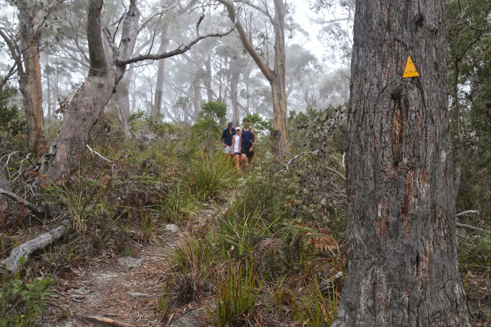
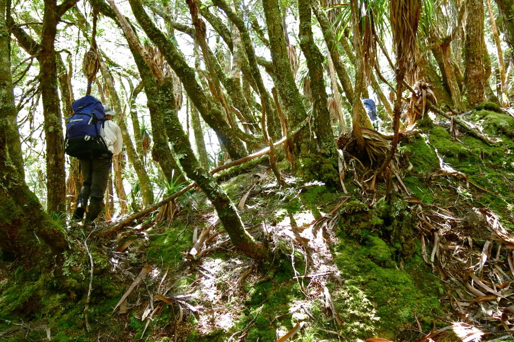
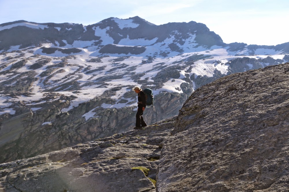
The others continue while I loiter to photograph them walking

It seems we must think that Freycinet is the very best place to introduce someone to bushwalking. When our children were 7 and 9, the Freycinet loop was their first overnighter, held as a warm-up to the Overland Track that they did about a week later. (They did other overnighters before this, but they got carried. This was their first self-propelled effort where they carted their own gear). Our grandson, little Gussy, had his first overnighter (in a papoose) here Dec 2011, and now this year, we took Jon (our daughter Yelena’s boyfriend, (Post script – now husband) on his first overnighter. We thought a cute little 33 km hike over a mountain and then a bit extra to get the tents we’d left at the first camping ground would be a nice introduction for him.

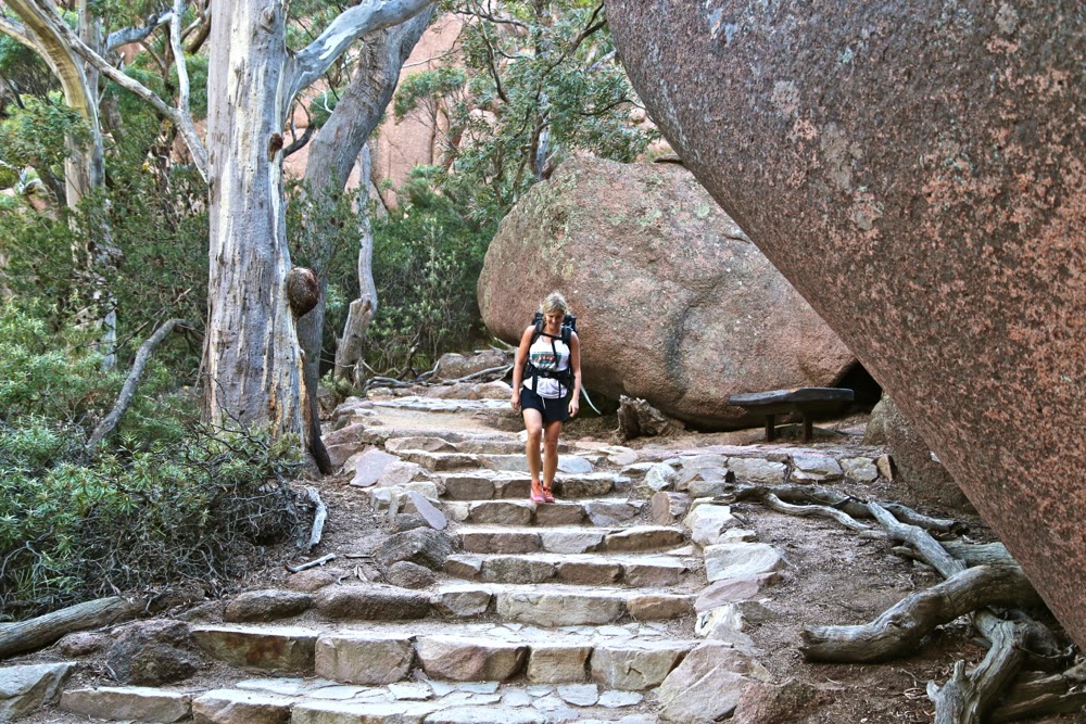
Yelena begins the descent from the saddle to Wineglass Bay

No one doubted Jon’s ability to do 33kms ++ in a day: he’s a sporty fella, but he hadn’t carried a big pack before or done the overnight bit, so we were keen that he should enjoy it. He went famously, and – despite deplorable weather – coped well with the distance, the pack, carrying a three-man tent (our only spare), the mist, rain and furious wind, and the fact that views from the tops were non-existent.

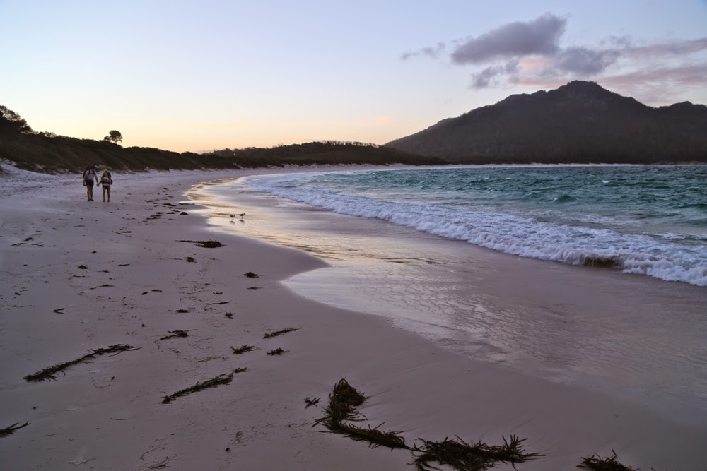
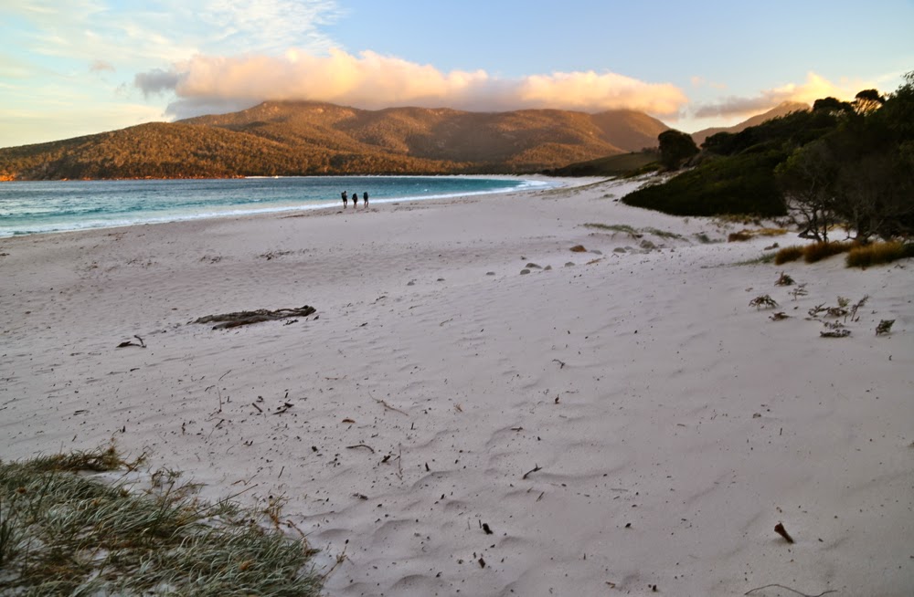
The cute duo arrives as evening light illuminates the water’s edge

We set out for Wineglass Bay after dinner on 28th, knowing that it wouldn’t take us long to get there, and we were right. One hour’s walking saw us up and down the saddle and along the beach to the base of the stairs that ascend a sand dune that announces the camping area at the far end of the beach. We had described to Jon sparkling, cerulean waters of “pure gin” as my IG friend Dietmar Kahles puts it. What confronted him on the beach were rough waters, angry waves, a wind that whipped up the sand to bite the legs – most unusual weather for this region. Nonplussed, we pitched the tents and assembled in their large one to play cards for the rest of the evening, hoping for an improvement in the weather next day.

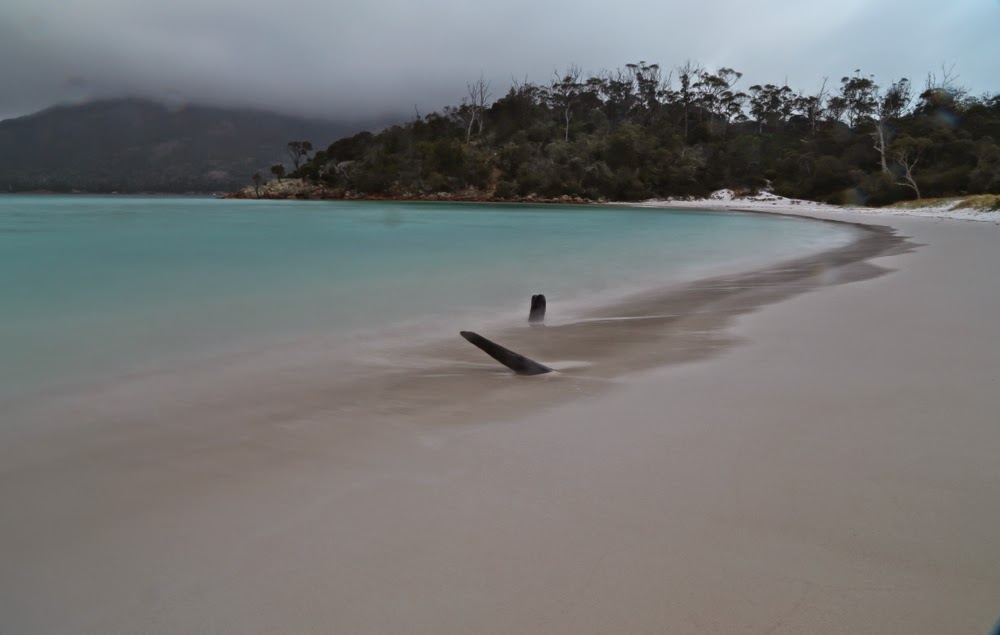
Pre-dawn beauty

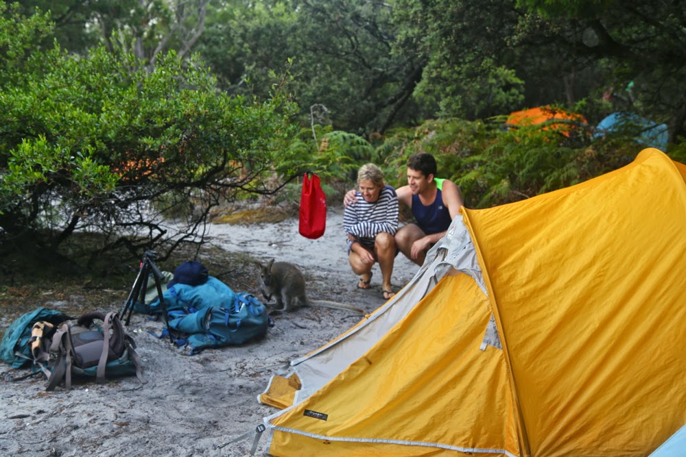
At 5 a.m. when I arose to photograph the dawn (rather reluctantly, it has to be admitted), the wind had mostly abated, but thick mist enshrouded the mountains and flirted with the waters. I took some long exposures and returned groggily to the tent to wait for breakfast time. During the night (3.30am to be precise) there had been a bit of noise from my daughter in the tent next door. I had warned Lena and Jon to put all their food inside their tent. They presumed that putting it in secured packs in the vestibule would be enough. At the hour stated above, they heard a wallaby or possum (it didn’t hang around for full identification) having a tardy midnight feast of muesli, chocolate and macadamia nut bar, all intended for later that day. We had laughed when Bruce arrived at the tent for cards clutching his little bag of food for protection, but perhaps he had the last laugh here. Luckily I’d brought enough extra treats to cover for the marsupial greed.

Lena and Jon being far too nice to a possible thief who thinks that looks can exonerate the crime.

By 8.30am we were off up the misty slopes with trees being intermittently revealed as fog chased its tail around them. There were no views. My husband accompanied us for an hour but then quit while he was ahead, leaving three to complete the rest of the walk.

Early stages of the loop

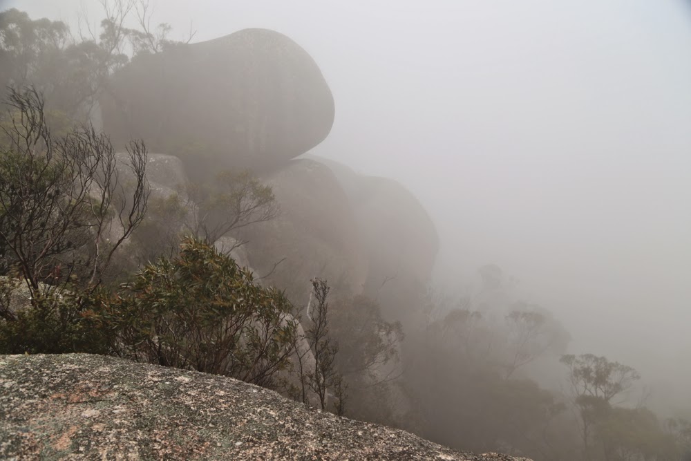
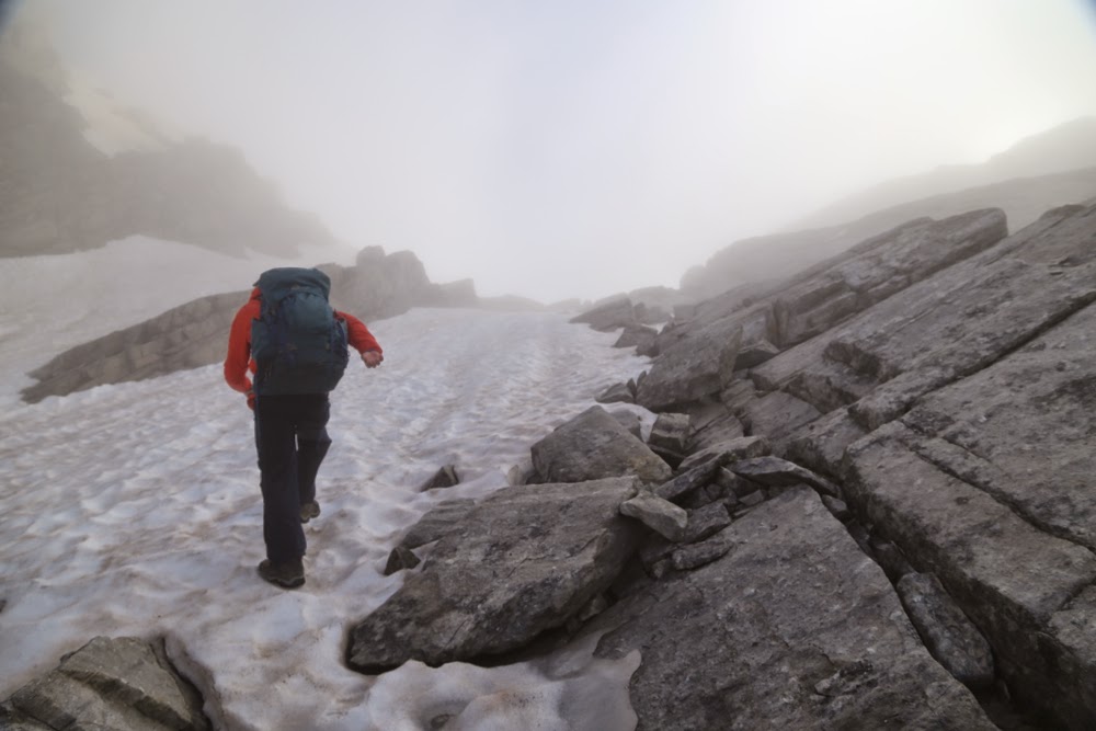
 As we walked along the tops, surrounded by a thick grey, moist envelopment, I described in glowing terms to Jon the mountains and beautiful blue waters he should be seeing. Yelena wanted to show him beautiful Tassie, so was disappointed, but did admit that the mist was atmospheric. The wind was wild enough for us to have that “Wuthering Heights out on the moors” feeling, but not strong enough to be unpleasant. At one stage I informed them they were now on the summit of Mt Graham; at another, that there was a saddle about a minute below us. Visibility was so poor that neither fact was self-evident.

It is tradition to stop at this exact spot each time we do this walk to gaze with wonder at the view, which is, under normal circumstances, fantastic.

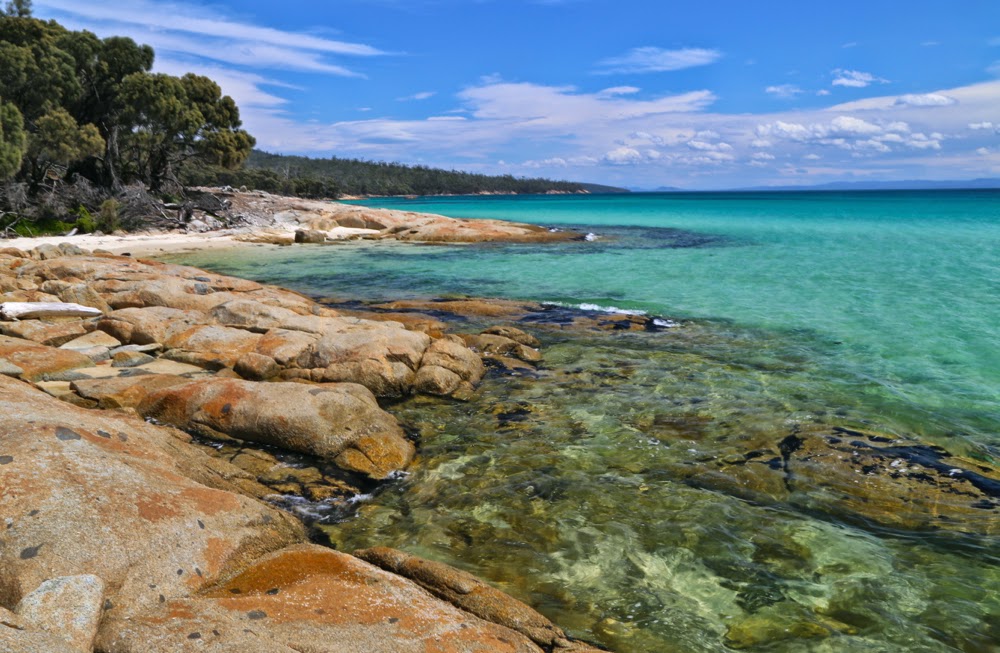
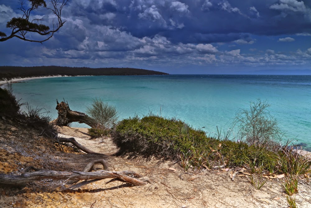
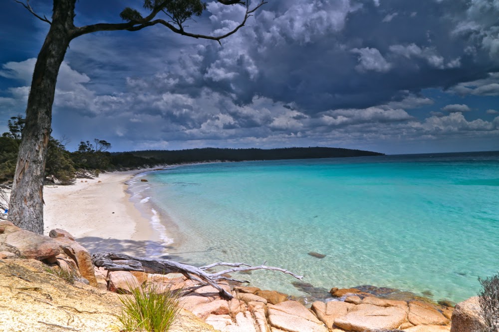
However, as we neared Cooks Beach in time for a swim before lunch, the day was absolutely perfect, with the promised and much-spoken-about blue water, liquid jellyfish, was shining as if bad weather had never existed. Lena and Jon swam while I photographed, and yet even while I did so, you will see from the photos that clouds were amassing to the west again. By the time we arrived back at our tents having completed the circuit and then come back on Wineglass to pick up the heavy gear, the wind was whipping the waves up a fury, and sand was stinging our legs. Even so, everyone except yours truly had a swim, and then we depitched tents and did the beach yet again, with a little less enthusiasm and energy than the first time.

The whole way home we were treated to the most fantastic skies – a dirty golden background with steely grey clouds in layers, with silhouetted gum trees in the foreground. However, we were tired, so I didn’t hold everyone up taking more photos. Those are the day’s fish that got away and will just have to live in my memory and not on a screen. They were fabulous.


Moody skies returned at the end of lunch

Tramontane 2014 via Cuvier, Manfred Dec

Expedition to Mt Tramontane, a mountain seemingly in the middle of nowhere, but within a day of the Murchison River on our approach side (from the east), and High Dome and the Amphitheatre to the west. This mountain is truly remote. We packed for an eight-day hike, just in case.
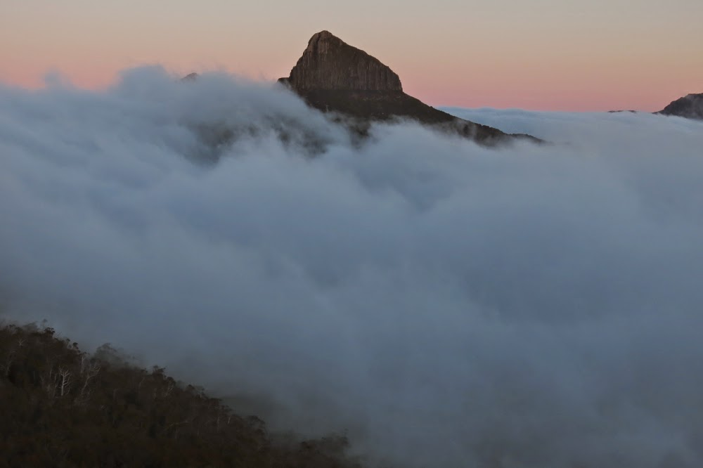
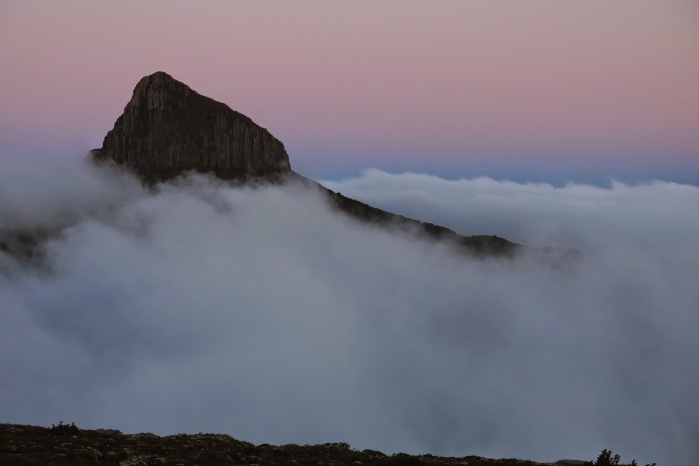
Pre-dawn scene from my tent on Cuvier, looking towards Manfred

Tramontane is a peak in the middle of total wilderness, surrounded by more wilderness. I hadn’t thought too much about climbing it until the wife of the leader bumped into me when I was running and asked me if I was going on the expedition. She indicated she’d like me to be there. I looked up the dates; it was feasible, so I put my name on the list. I have never before exposed myself to wilderness quite so remote as this or so very wild, so previously untrodden and so difficult to either penetrate or escape from should something go wrong. But let me begin at the beginning ….

Climbing up towards the Byron-Cuvier saddle

Day 1. The early part of the trip was easy if you ignore the fact that my pack weighed over 16 kgs and I weigh 44. That is not a happy pack to person ratio, but I was fresh and love climbing, so the trek up to the Byron saddle posed no problems. There we had lunch. Soon the real challenges would begin.

On the Cuvier shelf

23 minutes after leaving the saddle (and heading for Lake Petrarch) we came to “creek number two”, and it was time to hive off to the right (SW then W then NW) around the fat belly of Byron, through cool, delightful rainforest replete with tall, graceful pandanis and the occasional shining waratah. Only when we were about to reach the Byron-Manfred saddle did we encounter any nasty scrub (in the form of a seemingly impenetrable wall of scoparia that was thorn-in-the-face high). We found a tiny tunnel of opportunity and squeezed our way through to the relatively open ridge with low-lying scrub, mainly bauera, shining white in the sun. It was time for afternoon tea. (I later repeated this route – when we climbed GSL – and this time went higher, dropping down to that saddle and met no scoparia at all).

Descending Cuvier

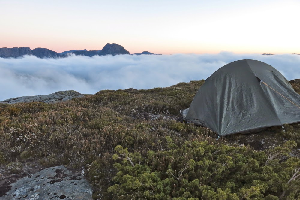
The day was hot, and some members of the party were struggling with the heat as we traversed the ridge between Byron and Cuvier. Stops were frequent, but at last we climbed onto a ledge not far below the  Cuvier summit. I loved it, and wanted to pitch my tent right on the cliff edge with a view. The others wanted protection and running water, so we separated. It pleased me to have silence and the space of infinity around me, to just gaze out wordlessly and imbibe the atmosphere of grandeur provided by my abode for the night.

Near my tent spot

The others were keen to relax and cook dinner, but I was all impatience for the summit by this stage, especially as I could see mist thickening around me. I wanted a view from the top and as much clarity as the day could muster. Food was of minor importance and I didn’t need rest. As no one wanted to come, I summited alone, taking 24 mins up from the camp to the top. At first I was sad that I had no company for the climb, but soon realised that I was enjoying being allowed to go at my own pace. Already as I gazed out from the summit, clouds were amassing and beginning to smudge the clarity of the mountains’ outlines.
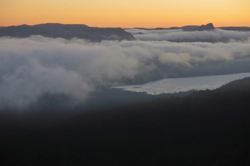
My chosen tent spot was not for sleepwalkers: I was perched in a position where five steps from my front door was one too many for the continuation of life. I sat on the edge of the rock and cooked dinner, watching the changing light and the moving mist on the landscape around. Peace. Infinitude. Bird calls reached me from far below as my feathered friends farewelled the day with a beautiful nocturne.

Manfred, predawn 

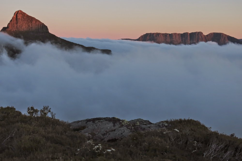
Day 2. I woke nice and early as is my habit and opened the tent flap, curious after last night’s cloud gathering to see what I would see. I gasped. What awaited me was a scene of great glory: below my perch was an ocean of white puff; emerging at various points above were indigo pointed peaks. In the sky were the glorious colours of pre-dawn glow. I wandered over what had become home, my temporary territory, climbing little lumps and bumps, getting views from this angle and that, floating on a sea of bliss. I photographed for 40 minutes as the sun slowly rose, changing colours as it did so, highlighting first this peak and then that, casting shadows of a different colour on the now pastel pink puff.

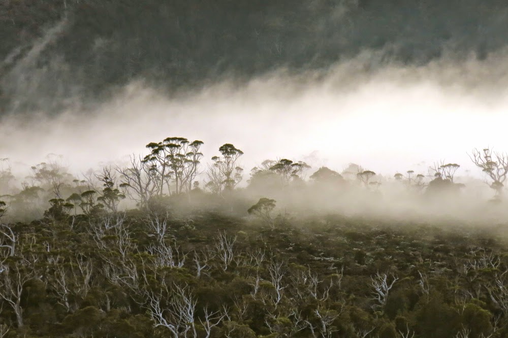
Mist in the trees below me

Half an hour after sunrise, the dong sounded from below: time to wake up and get ready for an early start one and a half hours later. It was so tricky trying to squash food (and clothes) for the next seven days into my XS-size pack that it took me the full quota of that time to achieve pack up.

My private paradise

Off we set, heading just north of west down a hint of a scrubby spur at the base of the Cuvier cliffs that then swung around to be a better defined one heading more or less north, leading to a point just below the Cuvier-Manfred saddle (see map below). That scrub bashing was not the most pleasant of the journey. From that (Cuvier-Manfred) saddle, we climbed up through scrub that wasn’t nearly as bad as the original mini-spur until we reached the rocks at the base of Manfred, whence we began to traverse around the rocky section. However, when we saw the tarn below Manfred’s internal saddle, we looked at the alluring water and at our watches and voted for an early lunch. It was only around midday, but there was visible water and even a bit of shade. We dropped a contour or two for those treats, ate and then headed back up a quite nice lead with easy going to the actual saddle that separates Manfred from its other unnamed but very shapely half.

The first rays of sun hit Manfred

We all (ten of us) climbed Manfred together, choosing to approach the summit from the left (W). We were blessed with perfect clarity on top, and lazed around up there enjoying our vista.

And on the other side, they hit Cuvier

Now began the epic part of our journey, a travelling into rarely trodden land. At 3.15 we set out around the rocks of Manfred’s other bump (waypoints below) and thence down, down, down, at first through unrelenting, unmoving scrub, but then through glorious primaeval rainforest, treading where perhaps no human has ever trodden before, heading for the wild Murchison River.
The slopes were steep and slippery. Wood crumbled as you trod on it or held it for support, sending you flying. (Luckily I only did that once.) Many of our party hurt or bashed some body part, so that several were limping by the end of the day. Many knees seemed to have suffered. My former life as a goat stood me in good stead: my single fall left me unscathed. Five and a half hours after leaving the rocks, light had all but faded, but the river was not in sight. A gps reading said we had about 300 horizontal metres to go. Ah, 45 seconds you say? No.

Humans in the grander perspective.
About half an hour’s labour. It couldn’t be done before darkness obscured the traps that lay in wait for us. Our leader made the excellent call to halt and pitch camp pronto. I stared around wondering where on earth on a forty five degree slope covered in fallen timber you could find a place for a tent. In that time all available spots seemed to have been gobbled up. I thought I would just lie on forest debris all night as I watched the other pairs helping each other pitch. I was exhausted and there was so little light I didn’t dare wander too far from where everyone else was. Next morning one of our number was to get temporarily lost just going to the toilet, and that was in the light. The forest was deep and dark. Anyway, I eventually settled for a spot with a rock right where my chest should be, and, believe it or not, had a pretty good sleep, my diminutive stature meaning I could work around the rock and, all curled up, still have room of sorts.
View from the summit of Manfred

Day 3. First, we had to reach last night’s goal, the Murchison River. Even saying the name sent a frisson of anticipation down my spine. Once again, an early start was scheduled and for the most part, adhered to. We had a lot to accomplish this day, so it was with relief that half an hour brought us to its glorious banks. Many sat and stared at her while others of us scouted around for a camp spot. I headed to where I knew the spot from another group had been marked on my map (a group whose route had been further to the left (S) of our own), and there was space for us all, so off we went and pitched.
By 9 our tents were up and our daypacks ready for the next summit. First, we had to cross the Murchison, which we chose to do directly to the north, in line temporarily with a route Phil Dawson had once used.

Another summit view 

The Murchison was not exactly hospitable to visitors, and two of our party had a brief, unplanned swim on the way over. They’d dry out as we climbed, very, very steeply, like cats on all fours, up this spur that is not part of the Tramontane massif, but adjacent to it, to its east. In parts on this spur the contours merge to become a brown smudge on the map. Climb, contour, climb, contour. Forward went our progress until we inched our way nearer to the NS-creek we needed to cross that would get us onto the Tramontane bulk, from whence we could climb our goal. All this was done in pristine, magnificent and perhaps previously unseen forest (given that our route now diverged from any that we knew had been taken before and that the groups that have climbed this mountain can still be counted without too much arithmetical skill – i.e., you need only to count to two). There were no signs of any previous human visitation; the first indication of other humans would occur much higher, nearer the summit.
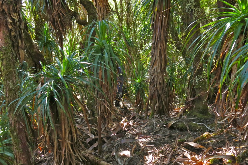
Beautiful pandanis in the early part of the rainforest in the descent to the Murchison from Manfred

Once we were onto Tramontane itself, the going was much easier than expected.  Although visibility in the moss-laded forest was not extensive, it was forgiving of our attempts to move through it, and we moved with good progress. Lunch was had a very short distance (maybe 200 horizontal metres) from the top, a spot selected for its view. The summit had waited for our arrival for an eternity; it could wait another half hour without getting impatient.

The Murchison at last

Shortly after we summited and took all the obligatory photos (and after I had reclined in the branches of a tree that allowed me to be maybe two metres above the summit, just for fun), steely clouds gathered and released two fusillades of hail upon us. Thunder grumbled all about us. Hail morphed to rain that then fell intermittently for the rest of the afternoon, sometimes lightly, other times with severity. By the time we got back down to the now swollen banks of the Murchison, we were pretty drenched and darkness was gathering apace. Lost in a tangle of horizontal scrub, and making little progress in the gloom, I began to fear that this was our spot for the night, but the story ends happily enough. Reaching impasse after impasse when trying to get around to the point north of where we had been camped in a retracing of our ascent route, the guy in the temporary lead and I suggested it might be better to try our luck at crossing the river further upstream than intended and seeing if it were possible to walk along the river to camp. There was a risk factor involved in experimenting in this way at this late stage of the day, but time was running out and everyone agreed to the route. It worked unexpectedly well, but only because of the assistance of Steve J and then others who joined him in helping those of us more easily pushed around by the forces of nature by giving us a stabilising hand as we went past the fiercest of the flow. I am always happy to see my little tent, but never happier than this day. My feet were even dry, although my clothing was pretty wet.
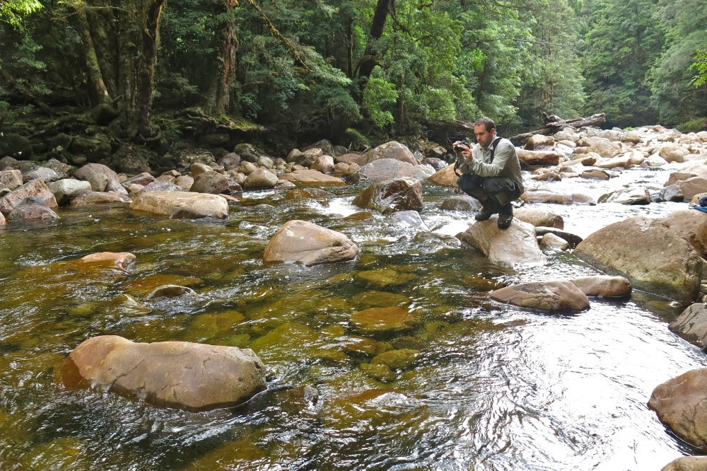
A photographer’s delight

Day 4. Every day up until now had involved very early starts and late finishes. Many of our party were now harbouring injuries of varying severity. Plans needed to be modified; besides, the river was wild when people visited it after emerging from their tents. A rest day was in order, and we revelled in it, many electing to sleep most of the day. I stayed put as it was raining and I neither wanted to don my wet gear, nor risk wetting my single dry outfit. When it wasn’t raining, but the forest was still dripping, I lay inside my tent with the flap open, just gazing at the beauty of the lush greenness. Housekeeping, in the form of attempting to dry clothes (unsuccessful for my part) was the most pursued activity of the day. My tent had leaked badly, and the clothes that were on the floor were now absolutely sodden. I ladled water out and fought uselessly to wring moisture out of the clothes. They were wetter at the end of the day than at the start. I was not looking forward to getting dressed the next day. Even my sleeping bag was wet where it overlapped my air mattress, a bright yellow island in the middle of a shallow lake.

View from the summit of Tramontane.

Day 5. Time to retrace our steps and head for home, having abandoned the Amphitheatre yesterday. With greater confidence, the benefits of rest and a dose of both good luck and good management, we made much better progress up the slope than we had made down, and what took us 6 hours to descend two days ago took only 5 to climb today. We reached the rocks at a time when the heavens looked angry yet again and lunch could be justified. We ate and rain began as we did so, getting heavier again as the day continued. The rocks weren’t as slippery as I feared, despite their black moss, and made a pleasant change from trying to push uselessly against trunks that wouldn’t give way beneath my feeble efforts.

A happy Caroline at the Murchison

Things only took a turn for the worse when we reached the Manfred internal saddle. Here, the gathering wind could unleash itself at us unhindered by other obstacles, and I began to freeze. Mist enshrouded us. Core temperatures dropped. We sidled past the cliffs of the summit section, heading for the main Manfred ridge projecting in a slight and irregular curve eastish (and a bit north) of the summit. This ridge has two main sections, separated from each other with huge cliffs, with other, smaller yet still challenging cliffs preventing one from taking a Sunday stroll along their length. We passed what I like to call the bowling green section: a field of the brightest green ground imaginable, with tiny ribbons of water running through that begged photography, but my camera was one of the many items to fall victim to the soaking my tent had received on the Murchison and no more photos were possible in this part of the trip.

Tent city on the banks of the Murchison

Soon enough, we hit a cup-de-sac, the first of the huge cliffs indicated by the contours on the map. We were by now sodden and freezing. My hands had lost so much power I couldn’t even press the clips that undo sections of my pack. Mist reduced visibility to that within thick soup. These were not good conditions to be standing around experimenting with tricky descents into an abyss. Trial and error could be done at a better time than now. Our leader made the excellent call to quit for the day and retreat, even though it was only 3.30. Hopefully the morrow would bring some visibility that would aid our efforts. We set up camp in bushes close to the cliff’s edge. Out my tent flap, white heath flower glowed and sparkled. Every now and then a view of Byron graced me with its tachistoscopic appearance.

The view out my tent flap on the rest day. I stared at it all day and did not tire of it once.

I was so cold I couldn’t muster any interest in dinner. The very thought of it made me nauseous. I had a few biscuits and began exercises to warm myself up. Later I forced down a square of chocolate. My sleeping bag was wet (the sodden bits had shared their moisture in the pack with the drier parts) and I hoped activity might help dry it. I dreaded the next day when I would have to don the wet clothes. If navigation decisions caused long delays while I chilled off in icy wind, I didn’t like my chances of survival. I wanted to call my husband to say ‘Goodbye’, just in case, but there was no signal.
Day 6. Thank God, quite literally, the decision was made to delay our departure until we had some semblance of visibility. Snow fell, but after that birds started singing, always a good sign, and at long last things cleared enough to name a departure time. A kind person who watched out for me arranged things so that I could get dressed last, and offered to take the tent down while I tugged on the repugnant wet gear, minimising my stationary waiting time, which was my downfall. This was a great plan, but we all then stood waiting for one tardy person for ten minutes, so it misfired a bit, but I sure appreciated the intention. Luckily, the rain had stopped and the wind had abated, so the chill factor was reduced. I was merely uncomfortable, which is not a threatening condition. We were away.
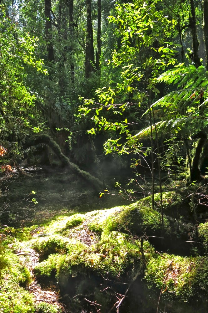
The rest of the day was absolutely grand, and a huge adventure. Descending the cliffs, now we had an inkling of how far each drop was as we could see the bottom, was an adventure with risk but no real danger – exhilarating. Down chutes we slid, attenuating our drop speed by using branches to retard us, sliding on our behinds in the mud in a whoosh to the bottom. Grandi. We eventually bumped onto the main Manfred ridge, and stared with glee up the cliffs to the spot where we had been camped for the night: perilous cliffs with vertical towering dolerite pipes behind. Oh how I wanted to photograph it!! What a brilliant ledge it was.
We lunched on this ridge before the next big plunge, although our confidence was now growing. Along we went, searching for a possible descent spot, eventually finding one we reckoned would work and giving it a hesitant go. Success. We were down and into magic, fairyland rainforest of moss and lichen and a magnificence that is hard to convey. It was a supreme privilege to have been in that place.
Eventually we emerged onto the button grass plains below. Eventual success was now in sight. The plains were surprisingly easy to traverse and soon enough we intersected the Lake Marion track. It was time to farewell four of our number who were going to climb Horizontal Hill.
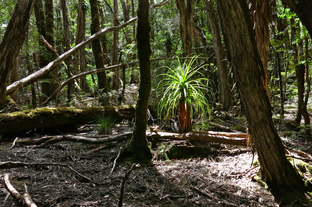
A lone pandani plant catches the light

Six of us thought we were just about finished, but we were ignorant of the fact that the cute little tributary we had to cross twice was now uncrossable. At the first crossing, two of the guys broke off a huge branch, carried it to the creek and flung it over. We walked across safe and dry, but at the second crossing, we were all stymied. The flow was too fast, too deep and too wide for us to consider it. As this represented a double crossing of the creek, I suggested we return to the first crossing and bush bash higher up, avoiding all crossings. The others agreed, so back we went, heading across more plains to higher ground, negotiating other creeks that weren’t as flooded and with success we intersected the track as it entered the rainforest further down.
In possibly record-slow time, we eventually reached the Taj Ma Toilet of Narcissus Hut, riding high above the trees as a beacon. It was finished. High fives and hugs all round marked the end of our epic. The rain began again. I opted for warmth – I was over the adventure of pitching and depitching a wet tent and cooking – a prisoner of my own vestibule – to the sound of the patter of rain encroaching on my personal space, rain that lowered the sides of my tent to turn it into a triangular mini-coffin.
I elected to sleep in the hut, where I had warmth, walking space, a table and the pleasure of meeting ten friendly, interesting and fun people from Melbourne who had all just finished the Overland track.  All our trials were over. Already hardships were becoming a theoretical fact that somehow belonged to some other story and what remained at the core of this one was a wondrous epic full of the grandeur of nature, a magnificence that somehow lets us transcend the puny perimeters of our epidermal layer, or even the broader horizons of our mind. Here is sublimity.
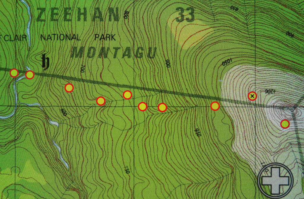

Descent off Manfred to the Murchison (camping on its eastern bank)
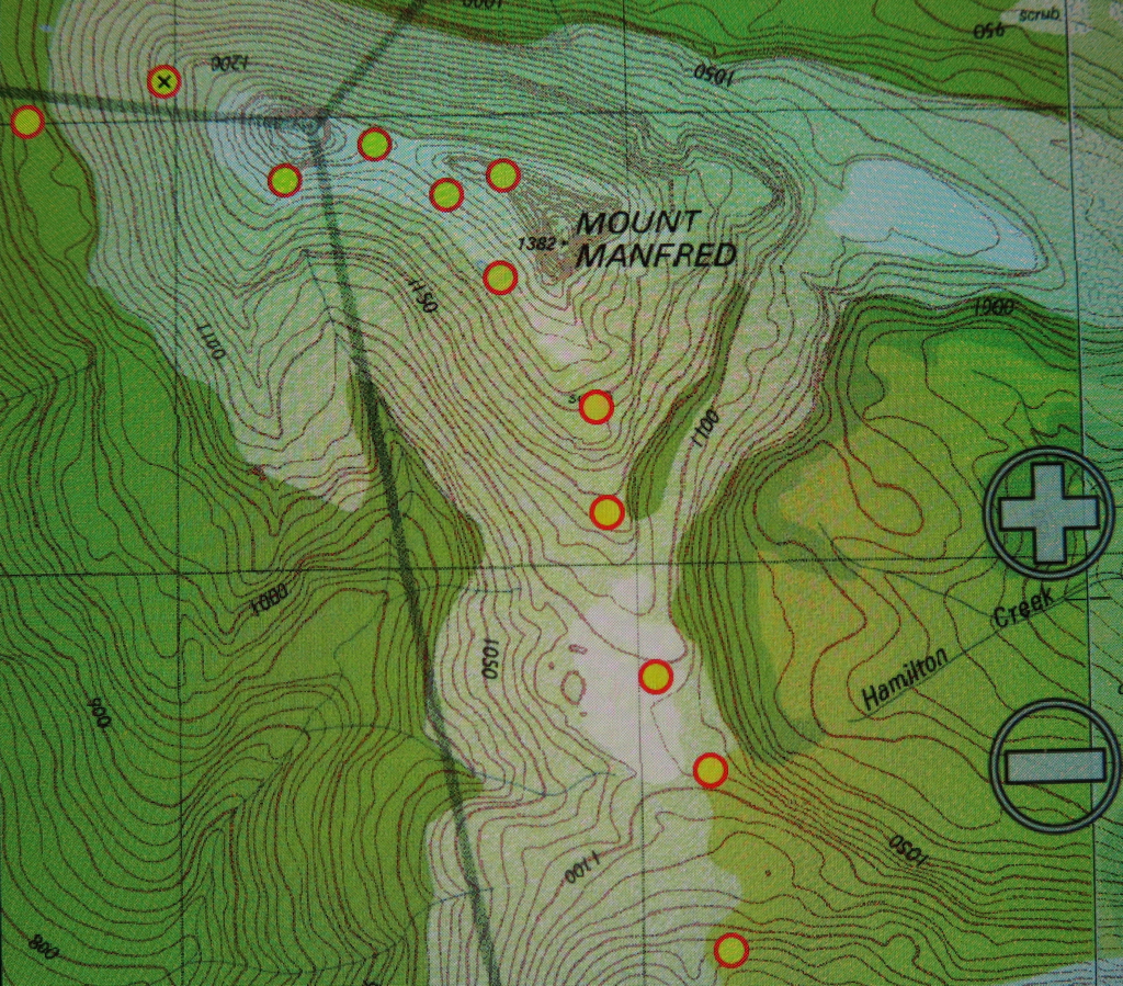
Route between Cuvier and Manfred
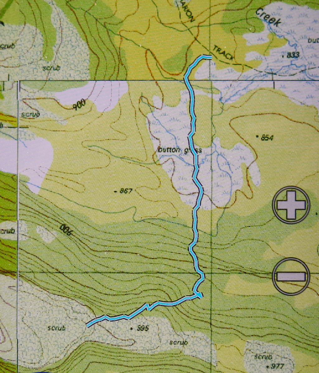
Descent route off Manfred.

Travellers Range 2014 Gatepost, Mts of Jupiter, Spurling, Ida

View from near the summit of The Gatepost, Day 1.

Travellers Range, a six-day expedition. 2014 Nov
Never have I received so much ‘well wishing’ before a walk: the staff of two different supermarkets who helped me with food choices, the instagram community, the battery man, sundry other shop assistants, email friends, my daughters and my students all wished me good luck and offered snippets of advice. You’d think I was off on a solo expedition to the antarctic for six weeks. It felt like I was! I had never been in the wilderness for so long before.

Tentsite near Lake Orion. Travellers Range Day1 draws to a close (in the rain).

I loaded my clothes and equipment into my pack, but could not squash the food in without help. First, I had way too much gear, it seemed, and second (but of less importance) I was operating with only one hand and a lot of force was needed for this job. The pack seemed to be full without any food in it. Bruce came to the rescue, loading all the food that was beside the pack, and announcing proudly that he’d completed the task for me. The trouble is, all the lunches were still on the kitchen table. I took him downstairs to show him what remained. At first he chuckled lightly, but this developed into a full bodied roar of a laugh, and soon enough we were both clutching our sides with mirth. This was impossible.

View from the Mountains of Jupiter, day 2. Mt Ida says “Hello, and looking forward to seeing you soon.”

This was not the time to ponder the problem, however; we were due at the theatre any minute to hear the great John Bell talk about producing Shakespeare. The stimulating evening finished, we returned home for coffee and cake with my students who had come to the theatre with us. They, too, found the pile of lunch food hilarious, whilst at the same time expressing concern that that amount might not keep me going for six days. “We know your appetite,” they said solicitously. Gracey inspected my lunchbox, muttering approval that I’d included a wedge of wasabi camembert and a packet of prosciutto, as well as vegetables and five packs of ham. Meanwhile Jess set about the marvellous challenge of condensing much into zero space. She loves to pit her wit against a formidable opponent, and repackaged, and rearranged and in no time announced success. Now we could eat cake and chat. All awaited with interest to see if I could actually lift this load and march it to the car. I staggered forwards with attenuated success.

A pool near the summit of the Mountains of Jupiter. There were tarns everywhere.

Fortunately, I like to arrive at places early. That Big Morning, I arrived with a bang. Tony likes to describe it as a squealing of brakes with dust flying as I pulled in 15 minutes early to the terminus of our car shuffle. We loaded my car with packs (with me panicking as I couldn’t thread the laces into my newly polished boots) and we were …. no; not away. I turned the key and nothing happened, and as King Lear would tell us, nothing comes of nothing. We tried a few times, but had a ferry to catch, and no time for fooling around, so loaded Tony’s car instead and abandoned mine to be dealt with later.

Mt Ida, as seen from Mt Spurling, day 2; late afternoon.

If you know my reputation, it will not surprise that it began raining lightly as the ferry pulled in to Narcissus Hut. No matter. We can do rain. 2 hours 20 minutes later, we were ensconced in Windy Ridge ‘Hut’ (Is ‘hut’ really a suitable word for barracks such as that?) and having lunch. 35 minutes more (of walking, not eating) we had climbed many contours (they looked rather formidable on the map considering the weight I had on my back) and were at the first clearing on the right, fractionally before Du Cane Gap, and were inspecting what appeared to be a wombat travel route but which morphed into a pad for humans that led onto the Travellers Range above. Up we went.

View from Spurling. So many old friends in this photo! Great to see them from a new angle.

Here I encountered a sobering fact: I am used to being amongst the fastest in any group I walk with (very often, the fastest). While I wait for others I usually have plenty of time for photography or to survey the beauty around me. Here, I was the slowest (of three). As such, I had set the pace along the flats, but had hoped that as we ascended, I might relinquish the Ping post. But there was no puffing behind me; no one dropped back. The other two slotted right in at my back all the way. I was impressed, but also disappointed. I was to have six days where I was the one lagging. However, I reasoned philosophically, it would be good for me – salutary – to see life from this new perspective. I might learn valuable lessons. I would be the one who had to ask for any rests, who called a halt to the day’s progress, who held them up each time I encountered an obstacle and who operated as the brakes on the machine instead of the engine driving it. At least I was with two really nice people who didn’t seem to see things that way. This was the way I felt, not the way they acted. I knew that each day Tony wanted to go further than we went, but he never said: “We have to stop here because you look stuffed Louise.” Instead he’d say something like: “I think we might stop here. What do you reckon?” But I knew perfectly well that if I said I could go further, then we would have done so.

Another shot from high on Spurling. It was so great to have views and no drizzle for a change!

Our pattern of operation was basically the same each day: we began marching at 7.30, or 8 at the latest, put in 3 to 4.5 hours’ work before lunch – goose-stepping through thigh-high shrubbery, climbing over and under logs, dropping off cliffs, negotiating mossy, angled rocks or pushing through thick, taller bush. (These times do not include breaks – but we only snatched moments of break anyway, although we did pause for a quick snack of maybe nearly ten minutes duration late morning). Other pauses occurred when Tony needed to consult the gps or map. I loved it when he needed to do that. After lunch, we put in a few more hours, stopping at 5 or maybe 6pm to erect our tents, have dinner and go to sleep. The other two were utterly unchallenged by this workload, so again, I was the weak link in the chain.

Still delighting in the view from Spurling. I was quite excited to see Barn Bluff, Pelion East and Cradle (just disappearing out of the picture top right) from this perspective.

Tony was expert in his navigation, yet did us the courtesy of taking our suggestions of routes seriously, often following them through so we all felt we had a say in where and how we went. It is nice to feel you have some directing power in the route, and to feel trusted as a navigator. He also didn’t require that we tread in his footsteps, so we had the pleasant feeling of independence over mini routes, staying in contact with each other, of course. I sometimes enjoyed walking a different, parallel route. If I managed even to keep pace with this long legged warrior, then I figured it was a good route choice. Marcel, the quintessential gentleman, nearly always stayed behind me so I couldn’t drop out of sight, and so he could help if I disappeared into yet another wombat hole, or tumbled down another cliff, or hung by my hair from another branch or bashed or bruised myself yet again. Agonised by my efforts and grunts lifting my own pack, he aided my cause and warded off injury by lifting it for me each time I needed to shoulder it. And he kept me thoroughly entertained with stimulating conversation.

This is our campsite on day 2, under Spurling. After dinner I wandered off to take photos.

Each day we climbed something of note, saw many wonderful tarns and (with one exception) got rained on with varying ferocity. We pitched and depitched in the rain, and walked and ate in the rain – but don’t fret. We did have some blissful moments of sunshine, particularly appreciated because of the contrast factor. Warmth and a view were not things we took for granted.

Day 3. Back to drizzle and murk. This is on the Travellers Range High Point.

Day 1 had the biggest climb of all – from Leeawuleena (Lake St Clair) onto the Travellers Range, but that didn’t count. That was the springboard from which we would leap. The Gatepost, the first named point of climbing, was negligible in comparison. The views would no doubt be stupendous on a fine day. I will return. We camped that night near Lake Orion.

Mt Spurling, as seen from the Travellers Range High Point side during our return to camp (Day 3). Don’t be fooled by the appearance of sun. We were. BUT … It’s about to rain again.

On the second day, we climbed the Mountains of Jupiter (attacking, obviously, from the east). The actual climbing part was, for me, the second easiest part of the day, being without packs and without significant scrub (climbing Spurling was the easiest). The view was a bit murky, but good to have anyway. I have wanted to climb this particular peak for a while now. As we had lunch afterwards (back below), an unprecedented event happened: the sun came out and we felt warm. Our clothes dried off a bit. It felt grand. On we continued to the base of Mt Spurling, to drop our packs and do the second climb of the day. Tony then wanted (I could tell) to continue into infinity, but realised that his charges had limited capacities, so settled for pitching the tents there, climbing packless and calling it a day after that.

One of many random tarns (in the rain, of course) on Day 3, after we had left our Spurling campsite. Not complaining. I think tarns are actually very atmospheric in the drizzle.

Now this mountain did excite me. The sun was still shining, casting interesting shadows. Once past the early band of scrub, the way was over fast moving stone. Hoorah. My spirits picked up and I even ran some sections of the climb, I was so happy to be able to move unmanacled by pack or scrub. My chains fell off; my heart was free; I rose, went forth and climbed swiftly.

Some of the easiest bush we got to travel through. And look, Tony is still in sight; I can nearly keep up. This is on the way to Rim Lake. Day 4. 

On the third day, we headed off (in the rain) to conquer the high point of the Travellers Range. Once more, the views were of beautiful mountains, but were marred by the lack of clear outlines and interesting light. The sun made a brief appearance near the end of our return, lending us a false sense of security, as it ceded to rain just as we finished eating lunch and before we’d depitched the tents. I struggled this day with injuries incurred the previous day when sliding uncontrollably down a small cliff, skewering a rib with a jutting broken branch and whacking the front of my leg against something. Leg and rib caned, so it was with great effort and even greater slowness that I tried to keep up with a disappearing Tony in the final section of the day. He realised I was dropping back, and kindly offered to stop short of his goal of Rim Lake. Whew. I was most grateful.

Tony and Marcel discuss how we’re to get off the cliffs and down to Rim lake. I used navigational pauses as rare photo-taking opportunities (or chances to shove more food into my face). I needed to snack far more than the other two.

Day four brought the sun. Wow. We were out of practice at depitching without haste and angst at our gear being soaked during the loading process. The sun lasted all the way to Rim Lake, down to the saddle, up the eastern flank of Ida, along the sidling process under the cliffs as we worked our way around to the north, and even as we climbed the famous chute to the top and took photos. We returned to Rim Lake unaccustomedly hot and sweaty.

The wonderful Mt Ida, as seen from behind a light veil of eucalypts at Rim Lake.

I loved this lake and its wonderfully framed view of Ida, a mountain that I’d always admired, but for which I now had a deep affection. I wanted to stare at her more and ponder her. I also wanted to wash in the not-too-cold water and maybe even paddle. Most of all, I wanted to watch what the changing evening light did to “my” mountain. I wanted to witness her new mood in the new conditions and spend the night with her. However, I was informed that to sit around in such a manner was boring, and that we needed to move on while there was light. I had made assumptions about where we were sleeping that were inaccurate, and found it doubly hard – both to leave the place I had fallen in love with, and to change key in that manner. I was also challenged in that I am a person who likes and sets goals, and I had thought our goal for the end of this day was Rim Lake (having climbed Ida). I realised we had no daily goal. We just went until time ran out or I faded so badly that cessation was the inevitable conclusion. On I went, but my spirit felt temporarily crushed. I was Shakespeare’s schoolboy, creeping like a snail unwillingly to school as I dragged myself from the place I had fallen in love with. Suddenly I was very tired and didn’t feel well.

The reward of a climb that had one very scary moment if you’re only small (Mt Ida summit). Countless old friends out there. I couldn’t entirely relax and enjoy this view, as I had no confidence I would live through the descent.

The next day (day 5 + 6) was totally different in every respect. The light clouds that amassed at the end of day four managed to transmogrify into very earnest rain by breakfast time. It continued to rain with varying intensities all day. There were no longer any wonderful vistas, and even the number of attractive tarns diminished; we were already so high that I barely noticed the “climb” of that day (a stray Bob Brown mountain of 1198 ms – no real view). Huge fallen trees of slippery wood obstructed our path, drenching me as I sat on them to get over, each one putting extra distance between me and the long-legged object of my pursuit. I managed to fall in an astonishing number of concealed wombat holes. (I kept thinking of Pooh paying Rabbit an unwelcome visit). I felt like a walking disaster. Normally quite sure footed, my injuries made me ridiculously cautious lest I slip again – although I never have trusted wet wood, and there was wet wood everywhere. I had no power to resist toppling and hurting myself. Tony was all patience as I struggled my way forward, and Marcel continued on as helpful as ever, digging me out of holes and making sure I didn’t vanish beneath the surface.

Can’t resist including a summit shot in traditional pose taken by Tony. I did feel victorious, even if apprehensive (more than) about the return downwards. Can you see that my hair is in a tangle from all the wild scrub? It took me hours to get the bands out when it was all over.

At last we hit the Travellers Rest Lagoon; however, there no rest for these travellers (too wet to sit). We had no password to cross the magic flooded river, so had to go back into the forest and circumambulate the swollen mud slide until we hit the river at the far end to see if it was crossable there. It was narrower than the one the other end, but fast moving with rocks under the surface that looked slippery. I imagined myself toppling for sure and being carried downstream, having a choice of death methods, most of them involving some form of hypothermia from being thoroughly drenched after a topple. I regretted that my camera would be ruined so that my family couldn’t even see what I saw before I died so dramatically and pointlessly. Tony could see that I was ready to drop my bundle here. He held my hand to steady me as I went across packless; Marcel brought my pack by doing a generous double trip. I hated being so helpless, but helpless I was, so I had to admit it. My weight is only half Tony’s at the nearest round fraction, which makes me rather vulnerable in the face of strong forces of nature.

Evening light near the tent, day 4.

Tony was greatly relieved when we all stood on the other bank. Magnanimously he offered to set up camp there, now that the dangerous part was behind us. We had already been underway for over seven hours with minimal breaks. Would I like to stop? “No”, I said. Both guys looked hugely relieved. I sure appreciated the offer, but this time there was a definite goal – the end, the car – and I was psyched up to reach it. It was a long day – two for the price of one – but after eight and a quarter hours’ walking, spread over ten hours, we reached that goal. With the help of jumper leads we even got my car started. I did not dare stop for anything on the journey back home.

Light scrub above the tent, day 4.

Bruce weighed the food that I returned with. Three kilos. I could probably panic a little less about running out next time. I had taken more than enough for eight days, not six. At least I now know I can do a really long haul :-).

Quick shot grabbed in a brief moment (Day 5+6) when the rain was light enough to dare having the camera out of its protective bag. A random tarn on the way to Lake Sappho.


ITALY Dolomites AV1 (Alta Via Uno) 2013.

AV1. Alta Via Uno. Magic.

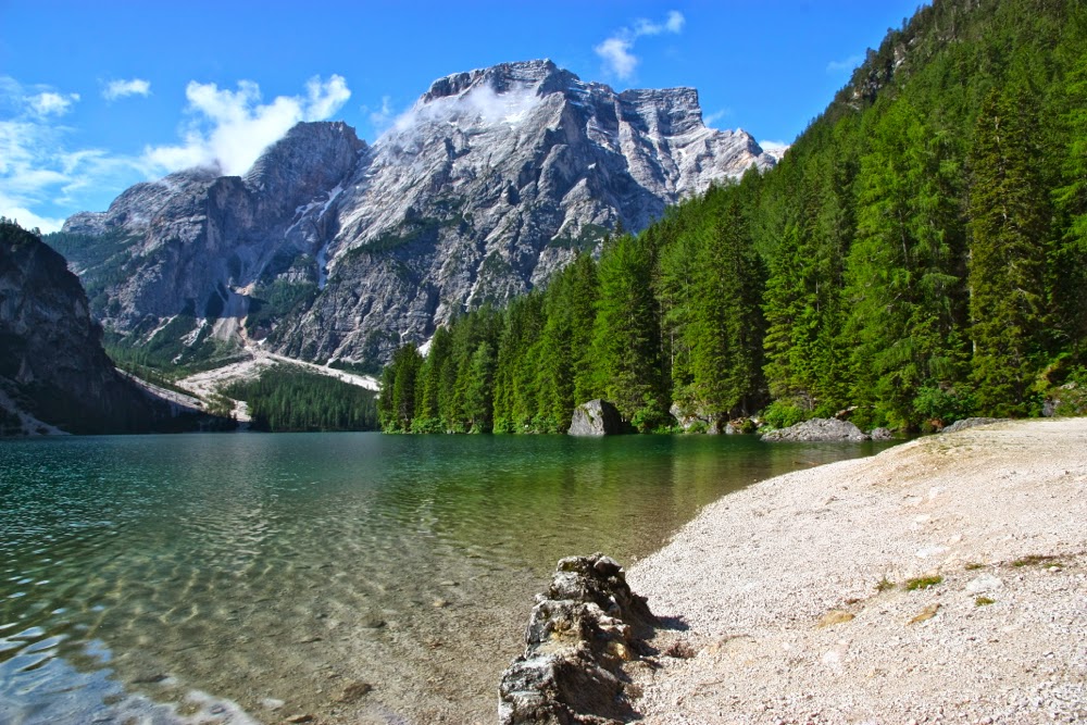
Let the walk begin. Lago di Braies / Pragserwildsee. First morning.
I did this AV1 trail in July 2013. I have been somewhat reluctant to write it up, resisting the way words finitise the infinite, and, in so doing, reduce its grandeur to a degree. This walk will always have proportions in my heart that way transcend anything these words or photos can convey.
It is not just the story of scenic splendour, or of a walking track, but is also the tale of an ad hoc friendship that continues to resonate. This was one of the happiest walks of my life.

Alta Via Uno.
Day One.
I stared around the dining room of the Hotel Lago di Braies, overlooking the magical lake of its name (also known as the Pragserwildsee – everything in this area has dual naming), wondering which of the other munchers was doing my walk. Any? I tried to judge from the clothing: Who was dressed for such a venture?  They all were, so that was no help. Time would tell.

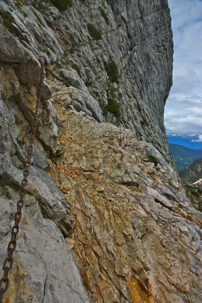
First little taste of a via ferrata to warm us up.
I had landed in Venice the afternoon before from Tassie and caught the bus straight there (well, via Dobbiaco / Toblach), arriving just in time for the evening meal. I hadn’t made a booking, but it all worked out. Next morning, that of the day in question, I was up with the dawn to circumambulate the lake, just quietly absorbing everything before I set out. Now, with excitement tinged with apprehension – one reads rather scary stuff about via ferrata – I was paying my bill and about to set out.

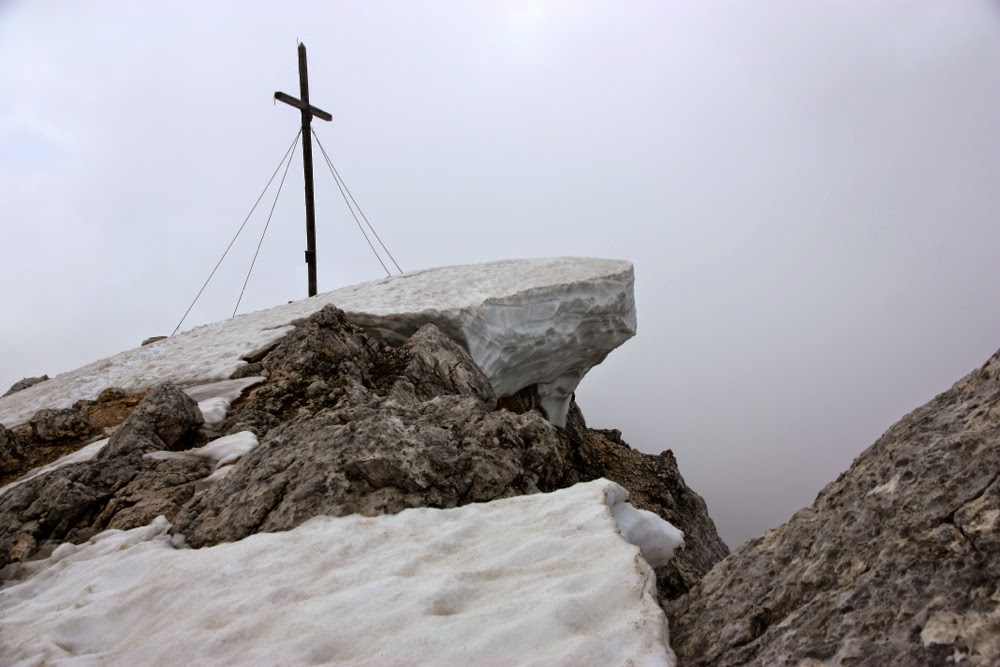
Summit of Seekofel
I had gone about a hundred metres when I made my first friends: a group of four Israeli mums undertaking the trek in a child-free spree. They were busy photographing the lake using DSLR cameras like mine, so I’d already found some photo freaks to share my journey. We chatted and I left them to it, keen to be off. There’d be plenty of time to talk later. Right now, I was a girl on a mission, as I always am once my pack is on my back. I’m so excited to be underway I just have to keep moving. I’m not one of those nice restful types. Sorry.

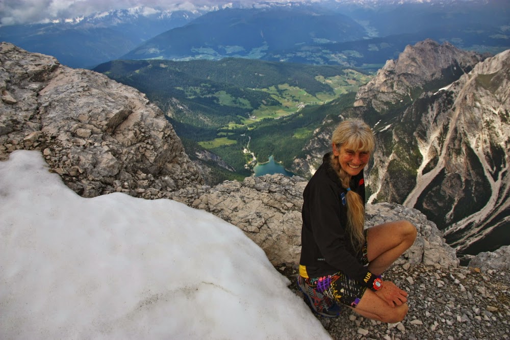
The clouds part, giving us a view down to the lake where I began 1400 ms directly below. My new friends took this for me.
Half way up the mountain I met more people – some from Holland, and a Welsh girl – and a bit later, a couple from Ireland. We had conferences about which was the correct way to go, as the map and the terrain had decided to differ, which was rather confusing if you like reading maps as we all did. Way forward determined, we were off again, but aware now of each other on the journey, and happy about future chances to get to know each other more. We were all excited about the adventure we’d just begun, and the air of happy expectation was infectious.

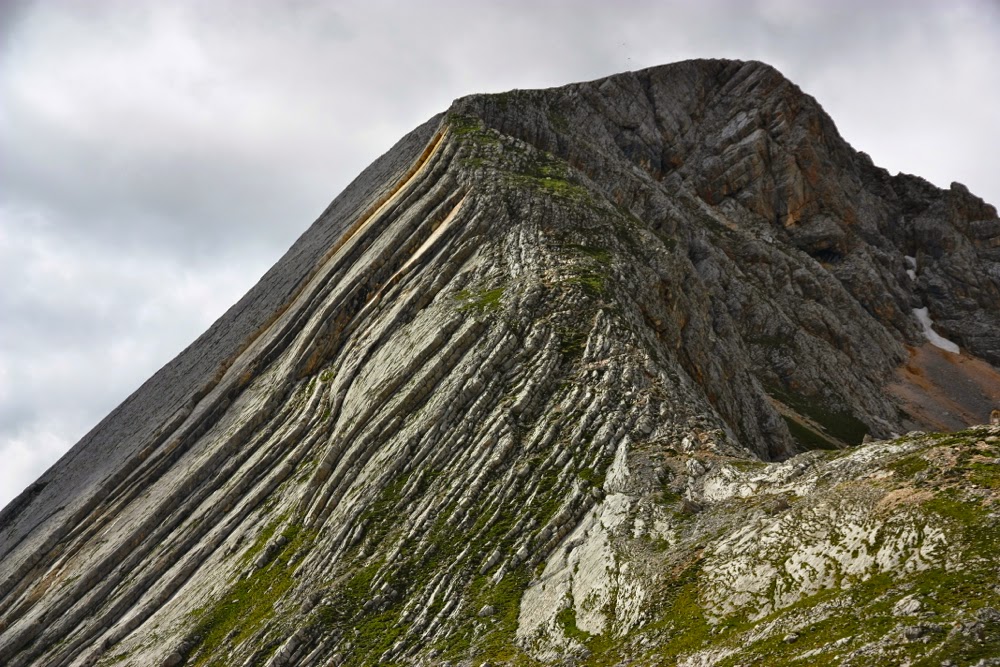
Seekofel itself. A magic mountain.
On I continued, climbing with glee until I reached the saddle overlooking my hut for the night. Some people I’d met had opted for a hut further on, but it was lower than this one, and the huts I’d decided on when I made my copious plans were all the ones that were as high as possible. So, some of us stayed in the pass, which I reached by lunchtime (in less than two hours’ walking); others continued to a hut I’d pass the next morning. I used the afternoon to climb the mountain behind the hut, whose German name is Seekofel.

Alpenglow: dawn on day 2.

Unfortunately, as I climbed the clouds began to roll in, and there was even a spot of very local sleet, but despite the near white-out conditions, I kept going, and soon met two people who’d turned back because of the weather, but who then turned around once more since I offered them quasi company (they found it comforting to know that I was up there on the same mountain ahead of them; it’s nice to know you’re not entirely alone in weather like that. I liked knowing they were somewhere behind me, too). I stayed on top long enough to wait for them to share the summit and exchange photos and a chat. The completely sheer drop of 1400 metres, straight down to our lake of this morning, was pretty awesome – almost vertiginous. Exhilarated, I danced through the snow along the tops before descending using the via ferrata, which was quite unnecessary, but a great confidence booster for later.

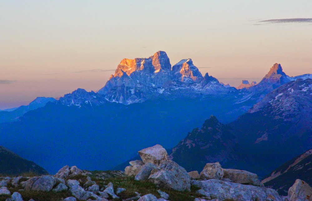
Day 2: Monte Pelmo comes alive as the sun illuminates her upper zones

Day Two.
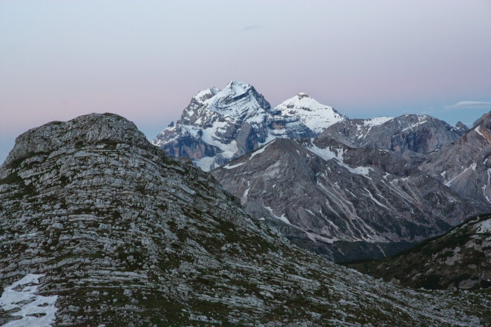
The clouds had cleared for dawn, and I climbed enthusiastically up a different (smaller) mountain to get a good view of the impending sunrise. Grand Monte Pelmo in the distance, covered in snow, floated atop a bedding of cloud and dominated my attention. She was utterly magnificent, and grew even more so as the sun tipped and illuminated her upper storeys. Sunrise and sunset are two of the moments when I at last find it easy just to sit and stare and wordlessly appreciate my surroundings. I often think at such times of the injunction: “Be still and know that I am God”. Whether or not you hold to the tenets of the Bible, that notion of sitting and pondering infinity, of reaching out to something much huger and more important than you are – whatever words you might call that by – is very important. It’s part of why we need to fight for our wilderness areas. Even at this distance in time, I can feel goosebumps when I look at my photos of that morning, and remember the wonder of that gaze.

Day 2: the scene outside our rifugio. Eisengabel.
I descended, ate my breakfast, and departed on my way while the day was still fresh, but even so, there were many out ahead of me, which I like: I love to know that others appreciate these golden hours too. After about ten or ten thirty, the day gets too glary for my liking. I was enjoying myself, and sang while I first mildly descended for ten minutes, and then climbed about one contour over a small ridge that then dropped to the valley that contained the hut that I’d chosen not to stay at. It had already emptied. Again, I met happy people on the track and had fun times as we enjoyed that bit of scenery together before I moved on. I didn’t enjoy the final climb up to Rifugio Fannes, as by then the sun was too strong, and that part was on a dirt road not a path. In addition, there were lots of day trippers. I felt the odd one out amongst them, and settled down for lunch, eagerly scanning the horizon for the others who were doing AV1. I had now met everyone who was walking on my schedule. I missed them because of the “crowds” also there for lunch; I would have been much less lonely had I been alone. My spinach dumplings, hot chocolate and apple strudel with cream were delicious!!

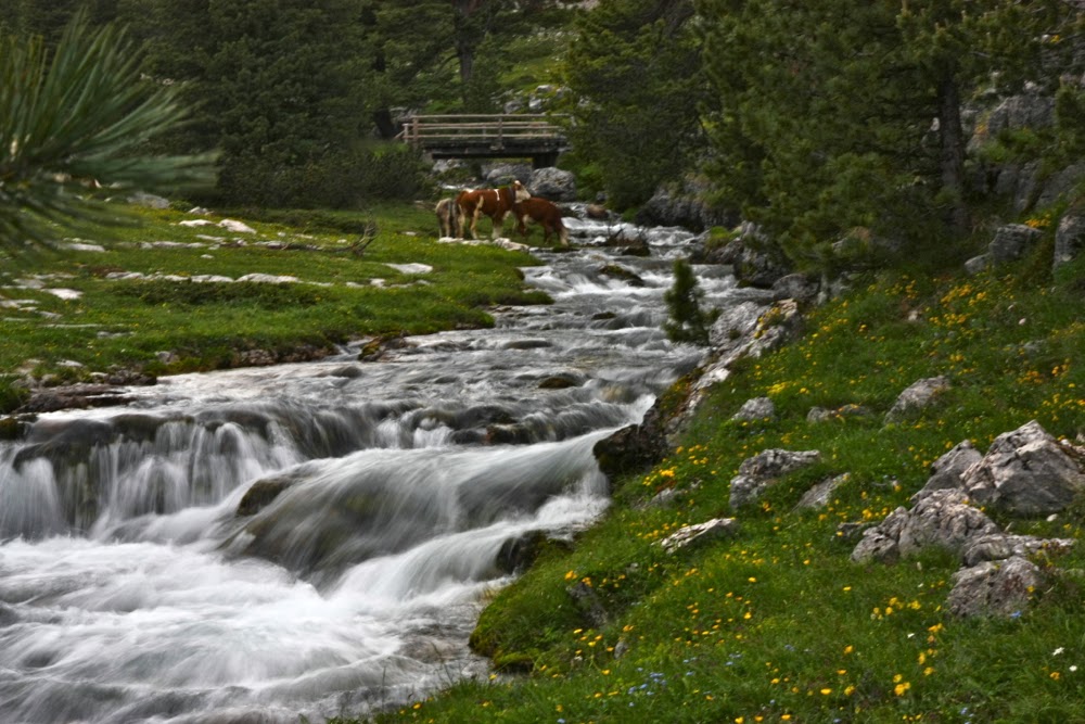
The stream outside our back door.
That afternoon was gloriously relaxing, an admixture of reading out on the verandah, listening to the stream trickling past our lodgings, gazing up at the spectacular mountains surrounding us or across at the contented cows, a-chewing, a-mooing, to pass the time of day. Being a somewhat restless person, I punctuated reading with strolls through the pastures full of alpine flowers, and wandered around photographing cascading water. I love arriving early and then having the afternoon to explore or soak in the local environment before being required to move on the next day. By this stage of the journey, I had become part of a group of four, a subsection consisting of the Welsh girl, the Irish couple and me. We ate together that night, enjoying the fact that you could have food of such wonderful quality there in the middle of nowhere.

Day 3: dawn. 

Day Three.
As usual, I was up for sunrise, and, like the first day, I had to do some climbing first so as to get the best spot. It was well worth the effort. I took my shots, and then walked along the path for a while, as there was still plenty of time before breakfast. On the rebound, I befriended another eager photographer from the rifugio. We enjoyed having the world and that magic to ourselves.

Day 3. Dawn.
This day posed a bit of a problem for me, as when the others phoned our intended rifugio for the night to come, it said it was full. Libby (Wales) opted for the security of a bed, and hived off at some stage to sleep in the valley. She’d meet up with us the night after. Steph and Austen (IRE) were already booked in. I decided to take a gamble and see if my actual presence achieved anything. I’d need to get there early if I wanted this miracle, so opted for a pretty no-nonsense day that would optimise my chances. Anyway, it is my delight to travel quickly. I still stopped for photos and food breaks, or to meet new friends. This was the day I met Marian and Dani from Spain. Dani liked my style as I scooted up the pass singing, and photographed this strange apparition. We made friends later, as the incline changed at the top, and where I had caught Steph and Austen and was having a small break with them while I took in the view. We all descended at approximately the same speed, so kept together until it flattened out again. A snack together at the end of a flat section, and then it was time for me to go up the next pass, through the soft snow with small icy patches alone and try to ensure a sleeping space.

I had no problems at all securing a bed. In fact, I even had a bedroom to myself for a while, which is a bit of a luxury in these huts. The kind manager had put me in a room with my new friends. Steph had found  the possibilities for falling long distances on the snowy slopes to cause some disquiet; Marian felt happy at having overcome some obstacles; and I was elated at getting a bed, so the five of us, as we now were, had a kind of party to celebrate our various causes of joy – a second lunch or whatever, in which we bought food and put it in the centre of the table and enjoyed food and company and toasting the success of our mission thus far. It was a fabulous group of fun and interesting people, adventitiously formed, but gelling together very happily.

Steph and Austen begin the steep descent.

The view was absolutely magnificent, perched high as we were (Rifugio Lagazuoi, 2757 ms asl) like eagles in an eyrie. Dinner was delicious, and so was dessert quite possibly, but everyone ignored it, as sunset arrived just as the food did, and we all had our priorities on the outer environment. The hut emptied to the possible insult of the cook (but surely he’s used to it) and off we raced to get a good spot for the fiery red as it lit the snow and the majestic peaks that were our special demesne this night.

Day 3: Traversing AFTER the steep decent down the rockfasce.

Day 3. The sun begins to set at rifugio Lagazuoi.
One more sunset shot to finish the day.

Day Four.
Despite the brilliant location of this rifugio, I did not have a great deal of company early next morning for sunrise. All the others beat me away after breakfast, which I think they usually did. I get pretty early starts, as soon as breakfast is finished, but they were all a bit more organised than I was. It worked out well, as I’d catch them a bit later, and then we’d walk for a while together, and then separate later still. On this day, we ate lunch together, and a good one it was too, had at a rifugio down in the valley in the heat of the day, before we started the next climb.

Dawn Day 4

Descending from the hut
My afternoon tea that day was outstanding (had near the Cinque Torri at Rifugio Averau): truly delicious cake whose memory haunts me still (pastry, with layers of cointreau mousse alternating with almond creme patisserie). I need to return to that hut and experience dinner, sunset and sunrise from there. It had a great location, right next to some fabulous hunks of rock (the torri). However, as usual I wanted the very highest hut in the region, and that meant that I needed to proceed, stomach singing with delight in response to its contents, and do the final very quick haul to Rifugio Nuvolau, the least friendly hut on the route, with the least enjoyable food, and yet, if my memory serves me correctly, it was the most expensive. I hardly ate anything, despite having worked hard, as the prices were high, but my interest in what was offered was low. Luckily I’d had a great lunch and a delicious afternoon tea. I’d even had hot chocolate with a cream mountain on top, which felt rather indulgent at the time, but stood me in good stead when dinner was so meagre.

Me, courtesy Dani.

Towering rocks above our traverse. If you look carefully, you’ll see a climber.
Nuvolau has, however, what few can offer in terms of spectacular location, and despite how things may appear from this account, I think I was here to see the scenery rather than to eat. Sunset was predictably wonderful (you didn’t have to climb to see it, as you were perched at the very top of that subsection of the environment). Austen very kindly went out and took photos of the via ferrata for the next day. Libby had rejoined us by now, and she, Steph and Marian were all feeling a bit nervous about what the morrow would bring. This was to be our first bit of challenging via.

Day begins to close at Nouvolau. Tomorrow we’d descend by a via ferrata to the pass that can be seen below.

Day Five.
Here it was was: our first real via ferrata – but first, of course, there was yet another fabulous sunrise. I really was scoring well this trip. Breakfast was not worth writing about – except to say the calories were needed.

Rifugio Nuvolau in dawn light
I must admit that I looked over the edge – which presented itself as pure abyss – with a certain lack of courage, although I wouldn’t call it fear exactly. I was definitely NOT going to be dancing over that edge, that was for certain. I was subdued enough by its challenges to do the first bit without a pack in order to reassure myself, but, having done that, I’d tamed the lion and bounced back up to collect not only my own pack, but also those of Steph and Libby so they could do the hard part unhindered by a weight. Austen and Dani were both utterly accomplished climbers with an amazing list of interesting peaks that they’d conquered, so they were, of course, totally nonplussed. The photos Austen took in advance, showing the more anxious ones how it looked from below, had been of great help. We had slept well.


The via ferrata descends to the snow.

Dani and Marian were doing something else before the via ferrata, so that left four of us who opted to travel together for this bit. Austen was brilliant, guiding Libby and Steph down patiently, giving them information about where to place their feet, and generally encouraging them. I think they also appreciated my part in relieving them of packs, although that was a tiny gesture. Libby in particular was just thrilled when she’d accomplished the two sections we had to do. She was so excited she shouted the four of us to lunch at a cafe down in the valley – yet another celebration party that we all enjoyed. We had become a team, not just a random group of friends. Team we were, but we still had the freedom of the independent walkers that we also were, and after lunch, we separated again to each go at the pace that suited our styles.

View looking across towards cinque torri. Finished the first of the via ferrata at this stage.

And now we’ve accomplished the second. The happy faces of Austen, Steph and Libby as they rest.
My memories for the rest of this day include crossing snow drifts, walking through a fascinating valley with mesolithic remnants (and lots of wonderful flowers), more fun climbing, having my pack eaten by a donkey and being told by a man who didn’t know a thing about who I was or where I’d come from or what I was doing that my pack was too big. I didn’t do him the courtesy of explaining that I was there from Tasmania for a month and that I actually needed every single item I’d brought. Perhaps I could have left the iPad behind, but it kept me in contact with my family, and meant that I could download my photos each night and do some preliminary deleting of shots that I didn’t like as much as other ones. That not only lessened my workload at the end of the trip, but also cleared room on my memory card, and gave me pleasure. Our little group was also greatly enjoying the nightly slideshow. I could have also theoretically had a smaller camera, but then my pleasure would not have been so great. I am intrigued by people who want to dictate to us how we should be human without knowing any of the reasons behind our actions.

Route for part of the afternoon
That night we celebrated again – getting there, and all getting a bed. Libby and I slept in the laundry, as technically, there was no more room at the inn. The owner was as hospitable as could be, and did all that he could to make the room warm and comfortable for us (rifugio citta di fiume).

We knew how to celebrate.
Day Six.
Comically my diary records this day that I was sick of apple strudel. I ate it every single time we hit an eating place down in a valley. I liked the fact that it was a little sweet (but not too much), filling, came with custard and had heaps of fruit. However, on this day it was a case of enough is enough. The others laughed at me, having already wondered how anyone could eat so very much of the stuff.

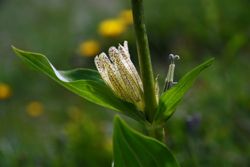
Gentiana punctata

The view at lunchtime (Rif Coldai)
This day we played our normal game of split and join, most of us meeting up for lunch at a wonderful rifugio almost at the top of an interesting climb. Libby was doing her own thing and going more slowly, taking lots of photos of wildflowers, which were numerous and interesting in this area.

Me in the pass after lunch (thanks Dani)

Looking down at the lake from the pass (Lago Coldai)
After photographing the lake the other side of the pass with its magic, teal waters, and negotiating more snow we all did the final climb to Rifugio Tissi and settled in to our room. The sky grew dark and threatening. Still no Libby. We became anxious on her behalf, and especially so when it began to hail. Every few moments we went to the window to see if there was any sign of her. The hail was monumental, hurling itself down furiously. And at last Libby appeared, legs red and dotted from the ice fusillade, clothes drenched, with a huge smile on her face. Once more celebration was in order, and we were getting very good at that.

Marian negotiates the next bit of snow
Any other person seeing that night’s post-storm sunset would have marvelled at its colour and magnificence. Being shockingly spoiled now, we only graded it as mediocre, but I photographed it nonetheless. It was fun to stand around and watch what we could see and talk anyway.

Sunset at Rifugio Tissi

Day Seven.

The next day begins, Rif. Tissi

This was a very sad day, as it marked the probable disbandment of our little group. Steph’s knee was hurting, and she was unsure about whether she could continue much further. She’d set out, but may not get far. We had a “one in all in” attitude by now, so when she announced at Rifugio Vazzoler, a mere one and a half hours down the track, that she needed to stop, we all did. Besides: the most delicious smells imaginable were issuing out of the kitchen. Time to hang around and do some more serious eating.

We had morning tea and lunch and I started to feel both full and restless. While the others enjoyed the feeling of these temporary quarters and read and chatted outside, I went for a run in the surrounding mountains to quieten the little beastie within. Up the path and over the fields I gambolled, wild and free, until halted by an almighty thunderstorm, in which the rain was so thick and strong that you couldn’t see or hear. I ran to the nearest farmhouse and sheltered under an awning.

Rifugio Tissi
An ancient, traditionally dressed Oma came out and asked me what I was doing. Luckily I speak German, so we could communicate. I explained, and her response was to bring me inside, show me how to make cheese, indicating to me all the various stages as she had them in her outbuilding. There followed a cup of tea with some cheese tasting, by which time the rain had eased and I could continue. I was really glad we’d stopped at Vazzoler to enable this little sample of local life.

Austen in action. He was a fabulous climber.

Day Eight.

Steph knew by now she was “doomed”. We rather sombrely walked down the path through the forest, rocky slabs towering above, out of our rifugio, knowing that this small stretch before the next track fork was our last together. Perhaps we would never meet again. It had been so grand, and we did not want this abrupt change to plans, but you can’t proceed through terrain like that with an injured knee, so they were doing what was necessary.

Last walk down the path together (thanks Dani)

Byee. (Thanks Steph)
After our fond farewells, we went up, they down, and on we went, up, down, up, down and along to a rifugio that I really liked the look of – Rifugio Carestiato – but unfortunately it was fully booked for that night, so we had to descend to the valley, to Passo Duran: first time this trip. There were two possibilities down there. We chose the one that looked most likely to give us a good breakfast and to have just the right kind of shower. All of a sudden, we developed a taste for fluffy towels. It all worked out well.

Passo Duran. Our stopping point for the night.

Dani and Marian (I never said it was an alcohol-free trip).

Day Nine.

Now we were hiving off in force. Today we would lose Libby at lunchtime, as she did not like the sound of what lay ahead after the lunchtime rifugio (Pramperet). Wise move. It was not for her. I was not too sure it was for me. Someone had recently died on the section we were about to do in almost exactly our conditions – cloudy, soft, unstable snow.

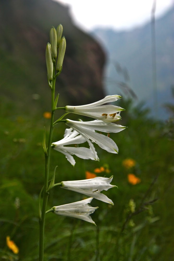
paradisea liliastrum

We arrived at this rifugio too early for lunch, but we didn’t let a little thing like that stop us eating. We had morning cake whilst waiting for midday so we could order something savoury. YUM. It was the best lunch of the whole AV1. Libby would stay there that night to further sample their wares, but the day was not looking good by this stage, so we quickly parted and off our little reduced group of three went, into the mist and snow to see what we could see.

Marian
Horrors. The first bit was fine, and we climbed with no problems. I started to be very glad of company. The grey all around us suited my mood but did not suit my need for confidence. The book had given too many dire warnings. I met some Germans who seemed to want to latch on to me. They appeared uncertain about navigation. Meanwhile, I was low in confidence about the execution of what I knew to be the route, so appreciated having the extra human contact. The drop off to the side became perilous, but there was nothing at all to hold on to, and the snow did not seem worth trusting. I lost it when I came to a spot where it was obvious the snow had caved in at that point. I did not dare put my foot in it lest I then fell a few hundred metres (I was leading). However, above the snow was wet, slimy grass and again, not a thing to hold on to for security. I chose the grass but was (sorry) at tear point at this stage. The others didn’t know that, as they were behind, so I could present a confident enough pose for Marian who did not need someone panicking ahead of her. She was at the limits of her own freakout borders  without my making anything worse. At last we hit an officially exposed bit. I found it fine – there was rock to cling to, so up I went happily, but I was really, really hoping this was the top and that we could now descend. It wasn’t.

The two black dots nearly at the top of the snow to the right of centre are Marian and Dani
I was absolutely fine on the rock, trusting it, but not at all fine with being required to traverse narrow ledges of soft snow with a monster drop off to the side. At one stage I just sat on the ground. I needed to collect myself before daring the next bit. Dani looked shocked. I think he was disappointed in me, some role model of female audacity, but I am just me, very normal, with a crack point like anyone else. Anyway, I got over it. I just needed 20 seconds or so time out to gather myself before continuing. This next part was indeed the last of the climb, and we were soon enough descending into possibly the most wonderful valley of the whole AV1, utterly larded with flowers of every form and colour: a wonderful feast of form and hue, and especially wonderful given the angst that preceded it. Dani, like me, loved photography and flowers. We both descended in pure heaven, clicking away. Later that night over dinner we’d compare our catches as usual.

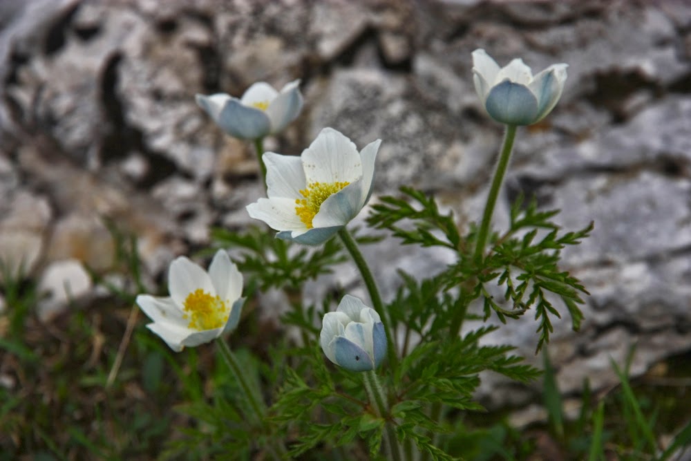
Pulsatilla alpina
Day Ten.
What a sad day this one was. Our dwindling group was to officially dissipate, the six of us cast out into the big wide world and separated perhaps forever. However, the day brought so much beauty that that dismal fact did not hit home until much later.
Dawn

Sunrise was beautifully ethereal rather than spectacular; it bespoke the fragile sublimity of our planet earth in misty scenes that were bucolic as well as mountainous. The obelisk rocky shapes of what I think of as Dolomite country had now been left behind. Fields of verdant green with sheep and goats whose coats shone like lanterns in the sun dotted the hillsides that plunged away below into infinity.

Just over the first pass

Dani and Marian were heavily engaged in conversation with another Spaniard, who had a job in this rifugio over the summer break, but they said they’d be setting out soon, so we only had a perfunctory farewell. A nod and a hug until later. Later never happened. But I was not to know that as I set out happily down and then up to a mini pass, the other side of which was absolutely littered in myriad flowers. Heaven. The instructions didn’t match my book, but the contours made sense, so on I went, negotiating a narrow path that demanded every ounce of my attention. If I rolled my ankle here and fell, it would be goodbye world. My guidebook had said there would be stairs, so I was more than nonplussed when none appeared, but I did eventually emerge out of the fragrant laburnum forest to see Rifugio Bianchet (more cappuccino and strudel) at the end of the clearing.

I never tire of scenes like this
I drank and ate and wrote my diary. Forty minutes went by and, given the number of alternative paths in the area and the possibility of bypassing this rigugio, I gave up on my friends and proceeded, hoping they’d still be in time to catch the bus at the end. (They missed it).

The next section was sad. The forest was no doubt pretty, but it marked the end of the walk and I was not in a mood for finding it wonderful. Nonetheless I sang as I went, going quite quickly to recover lost time, and gazing at the mountains above rather than at the ground. Thump. I rolled my ankle a beauty and went sprawling across the ground, grazing my left hand and landing directly with the corner of my camera pushing hard and sharp straight into the centre of my chest. I got up with no problems and went on my way, but had enormous trouble putting any weight at all on my arms, and as I was now dropping very steeply on a narrow path where I normally use an orangutang style to descend, this was problematic. Had I busted some ribs? Injured my pectoral muscles? I was in pain, but kept pushing on, eventually emerging onto the road, where I saw Holly and Chris whom I’d met at the last hut, waiting for the bus that was due any minute.

The way forward (and along, just under the cliff line). Luckily I took my topple on a wider path where I didn’t think I needed to concentrate.
We travelled together, first on that bus, and then on a train until our routes diverged. They were off to Rome, I was headed for Bressanone (Brixen) to begin the AV2. I presumed these silly little injuries I’d given myself would heal as I travelled. We chatted and laughed and I felt more relaxed about the pain. Let the healing begin. What a great couple they were: they were on their honeymoon. Who would choose to do AV1 for their honeymoon? Well actually, Steph and Austen were going to be married in about five days’ time (the trek was an early honeymoon) and now these two had “just married” stickers. Great stuff. These two couples are the sensible ones. The crazies are the ones sitting by the telly.
And thus ends AV1. The saga continues on the AV2, but I’ll give  myself a break before I write it up.


ITALY-SWITZ Tour de Monte Rosa 2014

The Tour de Monte Rosa

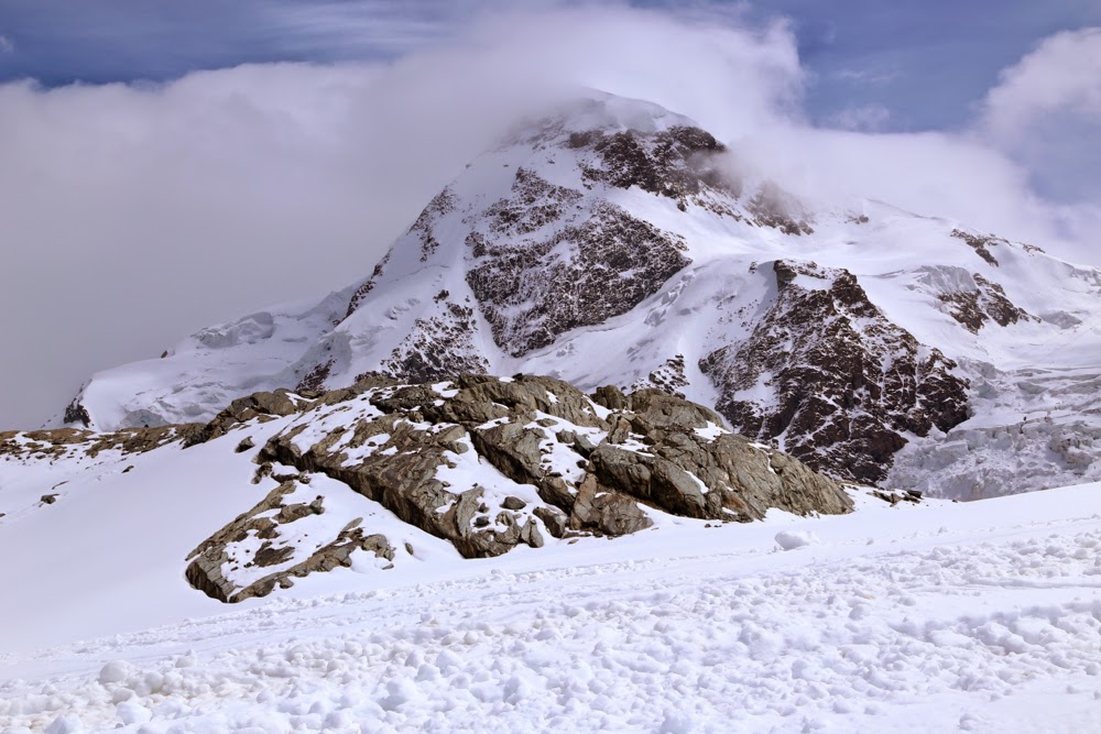
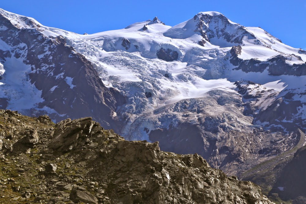
The Breithorn from the glacier

Heading for Theodul Pass – the mist hadn’t descended at this stage
Twice I made plans to do the Tour de Monte Rosa. Twice I tossed them. Many more times I looked at my Cicerone book about the tour and kind of shrugged and dismissed the idea of doing it. Why? First, it made the crossing of the Theodul glacier into such a big deal I didn’t think I could get my husband across it without either a guide or harness and ropes that I didn’t want to lug for the rest of the trip (or both). Second, it made the whole thing sound rather unattractive, so that even if one overcame the glacier, one was not, so it seemed, rewarded with beauty as a result. However, I’d bought the book as the idea of circling Europe’s second highest mountain had appeal, and I’d done TMB four times, and the haute route and more. I wanted something new. The book sat on my shelf as a kind of challenge. I was sick of having it there and decided that this year was its last chance. We would set out and go as far as we would go. If we failed we’d give up forever. If we succeeded, then … what? We’d see what lay the other side of this terrifying glacier.

Arriving at Rifugio Theodulo. Hoorah.

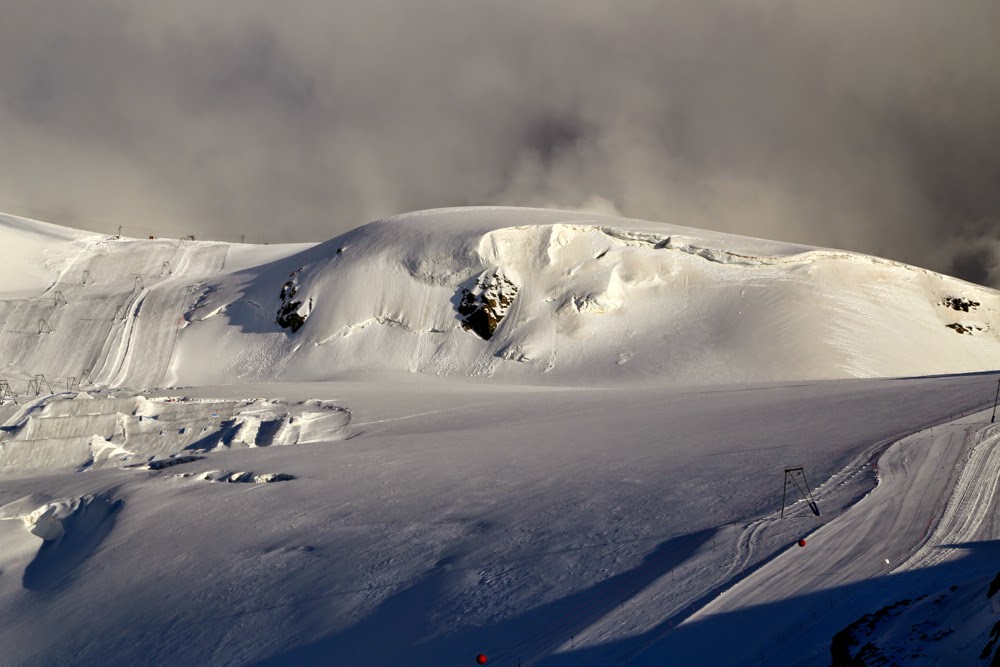
Our route for the next day is to follow those ski lines.

The mist lifts, but the sky still looks menacing
We were not the only scared ones. If you surf the web, you’ll find questions by other intimidated people, and every traveller I met doing the route who didn’t have a guide wanted to know how it was: was it as bad as it sounded, did they really need a guide or a harness and rope, etc? Others opted to start just after the glacier and finish in Zermatt, just before it, so as to avoid it. I decided that we would begin in Zermatt and do it first so that it wasn’t hanging over us the whole trip. If we failed, there were other walks we could do. And with that philosophy, we tentatively set out, happy to be underway with a real pack at last, but apprehensive about what lay ahead, especially as the weather was not looking good, and it worsened as we climbed.
By the time we reached our lunch spot at Gandegghütte, which normally has a brilliant vista of the Breithorn – but today had a good view of our feet – rain was starting to fall. We got in just in time. The rain had until we’d eaten our Penne Arrabiata and drunk our warming hot chocolate to clear. It didn’t, but it switched to snow, which I’d prefer any day.

The view after dinner

Wildflowers in the valley next day
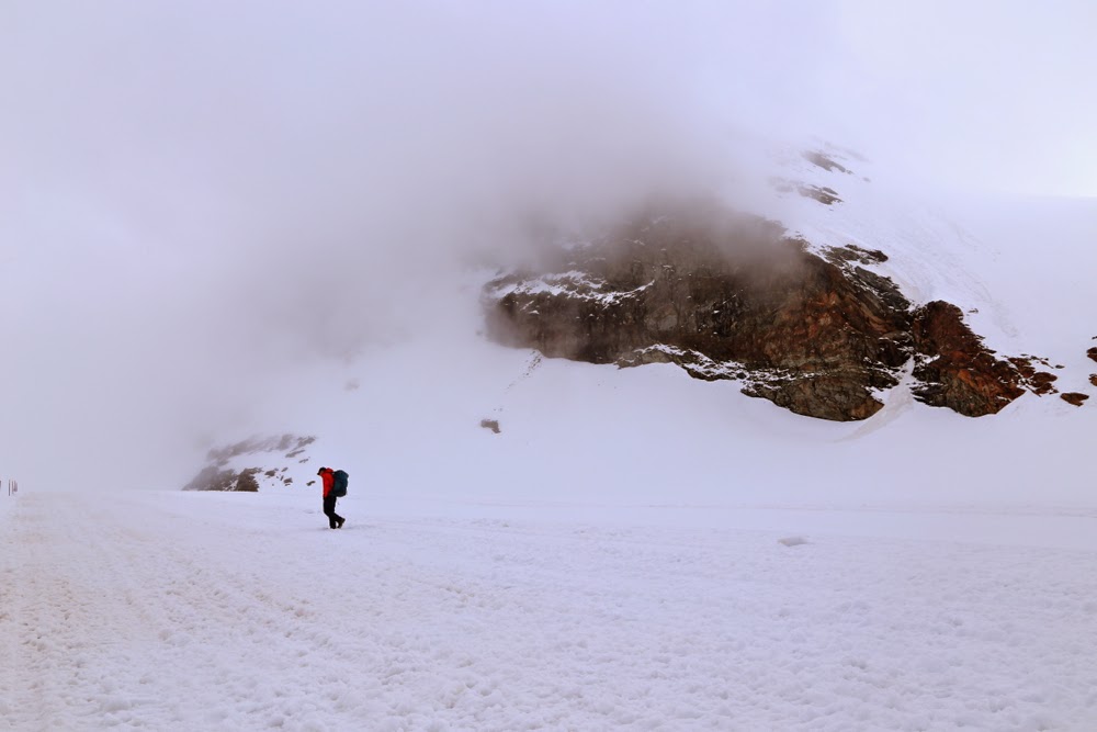
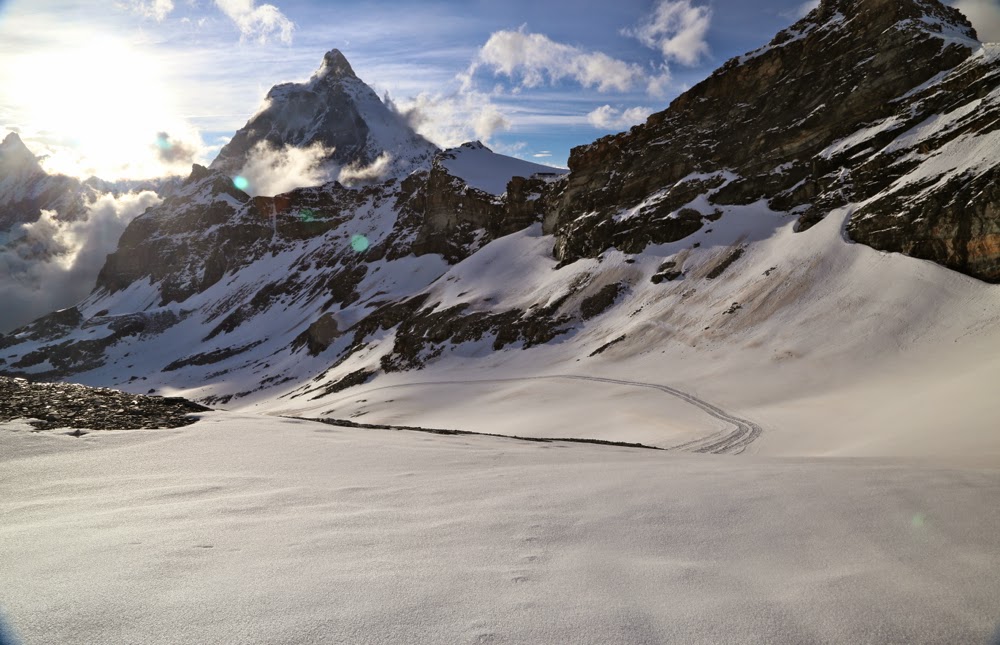
Now, one of the things the guidebook insisted on was that if one is so foolhardy as to go on the glacier without a guide, one should at least never go in cloudy conditions when dangerous crevices would be hidden. The people at the information centre down below, however, had told me not to worry, so I didn’t let the fact that we couldn’t see faze me, although I grew less comfortable when visibility was so reduced that I couldn’t see which way was up. The ground was totally invisible to me, and I found it rather eerie – but that was only the very last, steep part. For most of the route where we were on the glacier, we could see enough to follow the tracks made by skiers, and the clouds even parted now and then in the first section.

Descending after Colle di Bettaforca to a different view of the Monte Rosa

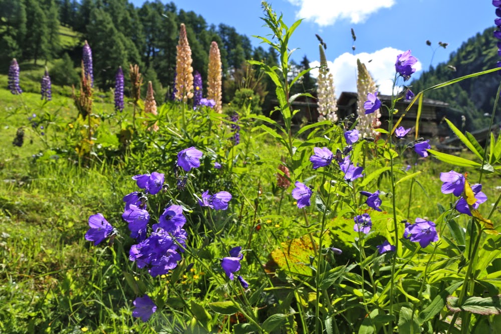
Campanulas in the grassy valley down lower 

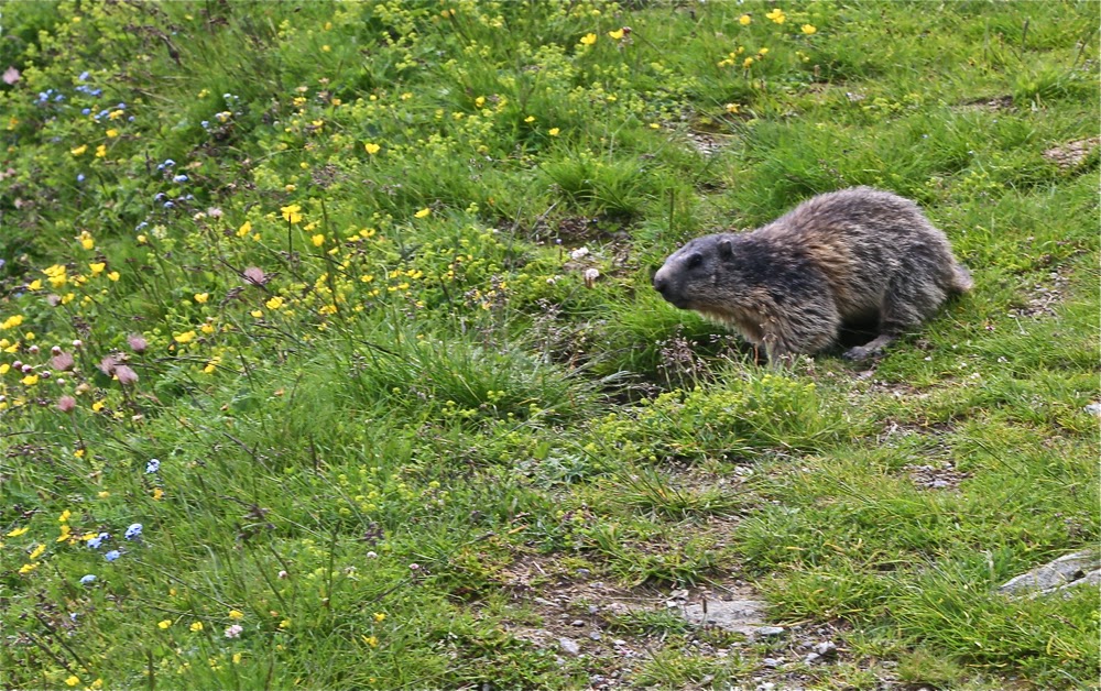
Marmot near Rifugio Gabiet
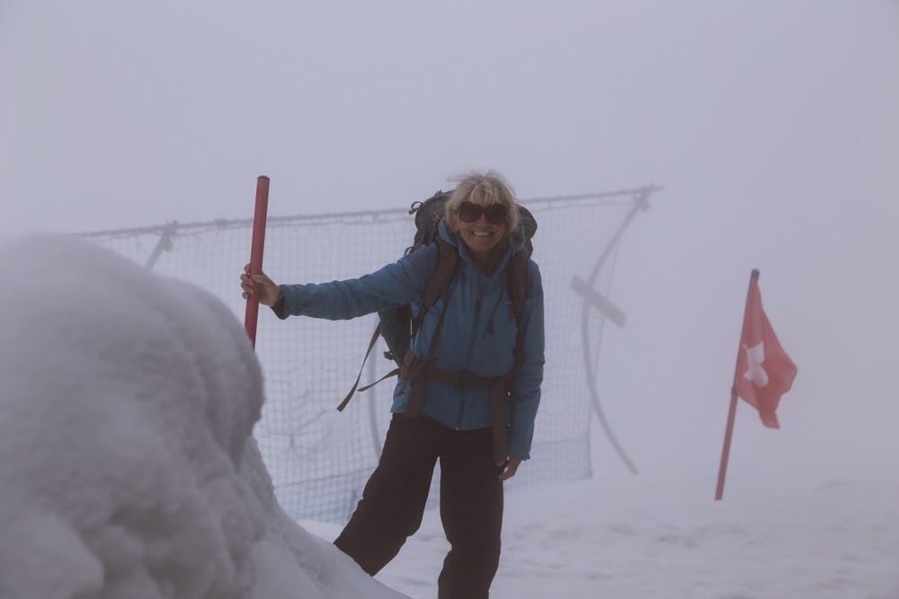
After we left the security of the hut, I could tell by Bruce’s facial expression he was worried, but I was confident about what I was doing – namely, taking him on the route for as long as I was comfortable about our safety, and turning back and returning to the Gandegghütte the minute I felt threatened by the conditions. We hit a section that was steep enough to have Bruce a bit uncomfortable, but not enough to make him want to back out. I could hear him panting, but we were at 3300 metres asl by this time, so that was hardly surprising. I went on to kick him some more steps in the snow. (He has Parkinson’s disease, in case you’re wondering about this guy that lets me do everything. He can’t help it.)

 Still below the snow line, climbing towards Col d’Olen

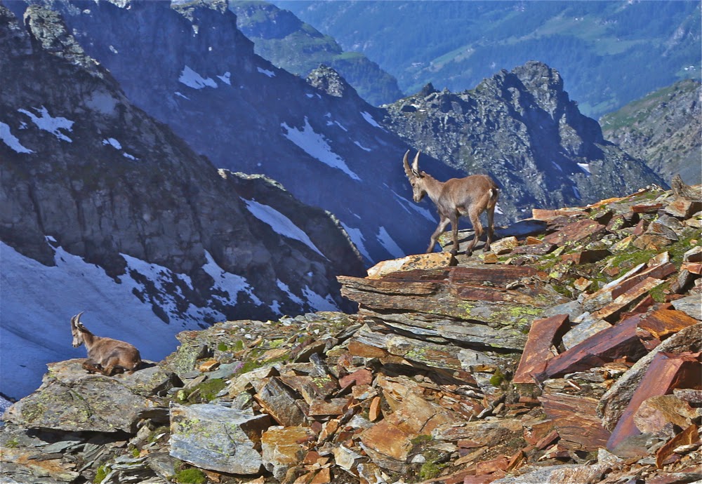
Ibex above Col D’Olen

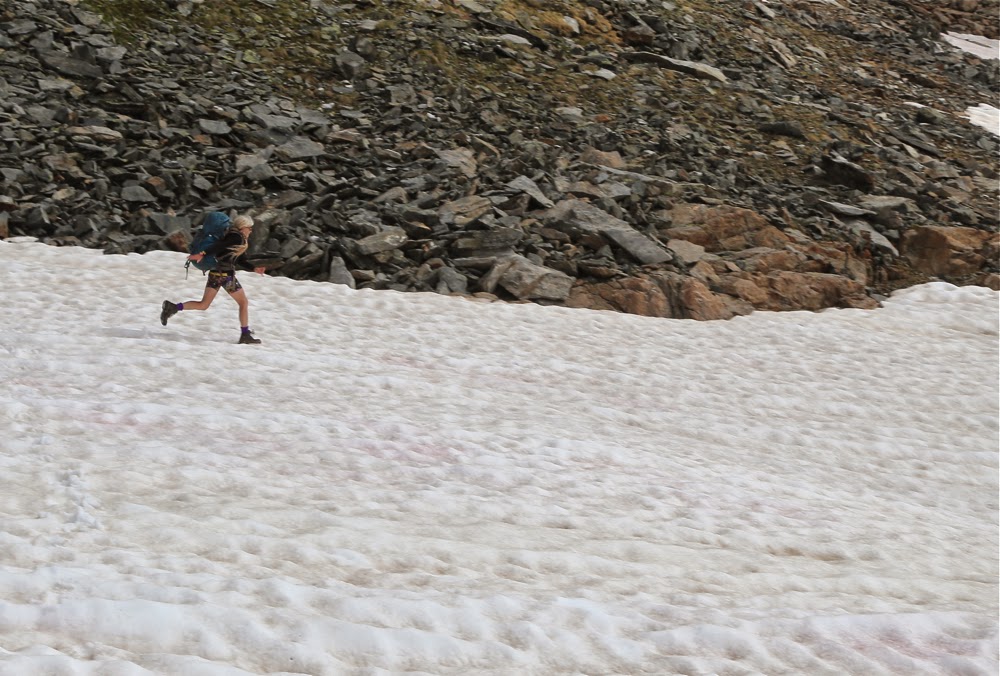
Me, having fun running down the ski slope
Suddenly, and completely out of the white, my feet touched flattened ground. If I took two more steps, I would be descending over the other side.
“Bruce,” I screamed with delight, “I must be on the pass. The ground here is flat.” He was thrilled. Grimace changed to thankful smile as he fought the altitude to join me.
“The hut is supposedly two minutes in that direction,” I continued, waving my hand off to the right where the theoretical hut was to be situated. It was not manifest. Off we set in faith, and sure enough, in 1 min 50 a door appeared about two metres in front of me. We had arrived. We felt as if we’d attained the impossible, and were totally elated. I didn’t care if we couldn’t do another step on the TMR. Just to have achieved this seemed like victory enough at this stage. It wasn’t that it had been hard: on the contrary, it had been dead easy. It was just that our expectations of success were so very low that it had felt like mission unreachable. Anything more was a bonus.

En route to Rifugio Pastore, day 4

Dawn on day 5, from Rifugio Pastore
Gradually the hut gained more people, and we got to chat to three Spaniards and two Belgians who had done the route clockwise (as opposed to our anti-), and who were able to tell us a bit about what lay ahead. Again, our guidebook was quite pessimistic, too often (so it seemed to me) complaining about the scenery not being pretty enough. These people, however, told me it was wonderful, and that was without getting views of the Monte Rosa, as it had been raining for them all week. A Belgian wanted to show me his photos to prove it. It was nice to meet with some enthusiasm for the route. Because of my guidebook, however, I only half believed them. Que sera, sera. The future would become ours to see.

 “False route”, day 5 – but utterly worth it for the views

The path after the pass (Passo del Turlo), day 5
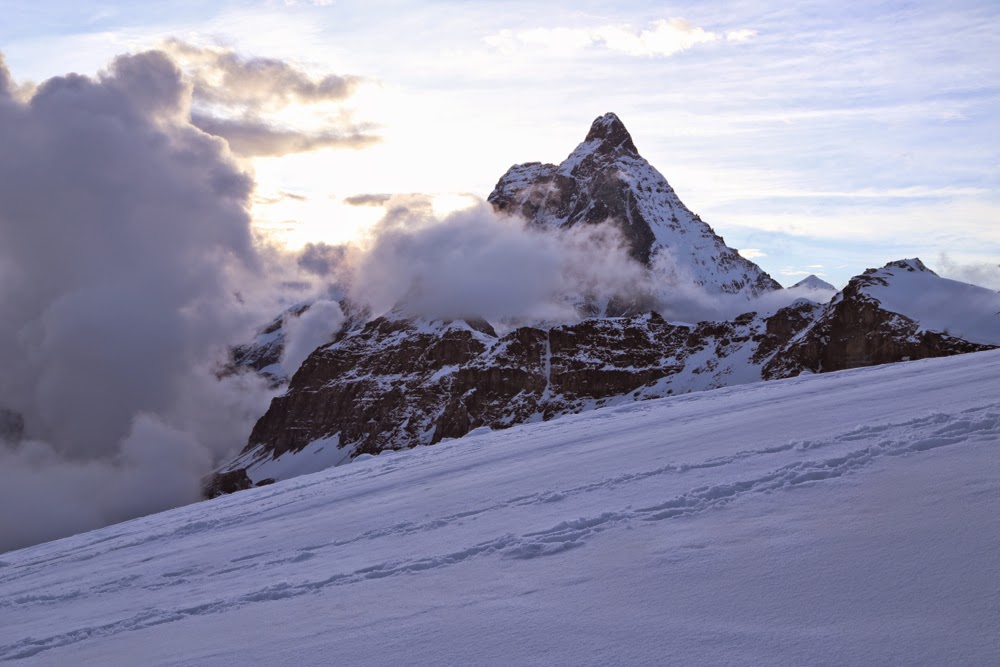
During dinner, our little cluster debated the whereabouts of the Matterhorn, most of us reckoning that it lay roughly in the direction of the bar, whilst one Spaniard insisted it was out the window. Lo and behold, it decided it had had enough of our uninformed debate and the clouds parted to reveal it leering in at us. Resounding victory to the Spaniard. I couldn’t believe how huge and close it was. Dessert was ignored. Out our group dashed to photograph this wonder. Bruce and I climbed higher and stayed out until our fingers were numb and the light had all but faded. At 3340 metres a.s.l. it gets pretty cold. The Spanish-Tassie-Belgian cadre then sat and gazed at beauty for another half hour in the warmth of the hut, our seats pushed against the glass. “This is the best TV show in the world,” I said in awe, and they agreed. Ironically, we later found the Danish group of 11 sitting around, gazing at the real, techno variety, watching soccer. I guess they differed.
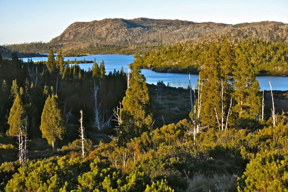
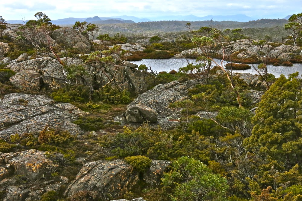
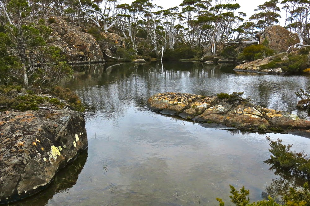
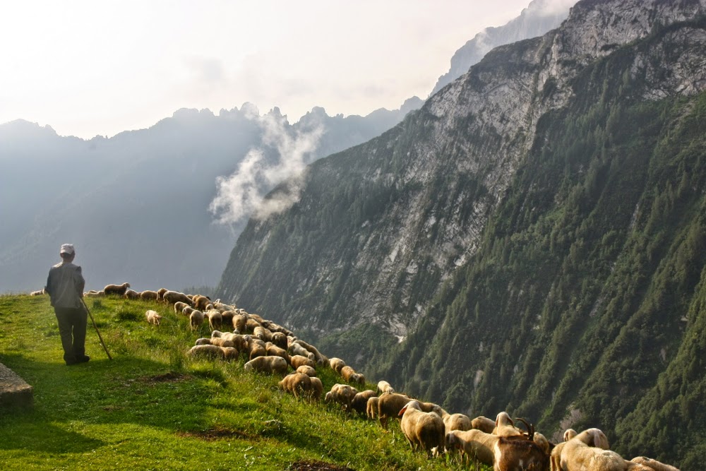
Final sunrise, from Rifugio Oberto Gaspari
Next morning was clear as we headed out, hungry after a “breakfast” that had been as bad and as meagre (not even any bread) as dinner had been delicious and plentiful the previous evening, following ski tracks down in a big arc with a snowy Monte Rosa off to our left, the Matterhorn to our right as we descended several hundred metres before rising again (with a huge descent and then rise to follow that), ultimately dropping from 3320 to 1860. As on every day, we alternated snowy vistas with green fields abundant in swathes of colourful and delicate wildflowers as we ascended over passes and descended to the valleys in between. In almost every hut, dinner was a celebration of delicious food, offered in multiple courses with seconds always available, and breakfast was often a pretty dismal affair. If you scored a bit of cereal it was pretty amazing. Juice even more so. For lunch, we mostly waited until we’d arrived at our destination, which we did by lunchtime on most days, and ordered delicious soup and sometimes a tart. That gave us the afternoon to explore the area surrounding the hut (and do a hand wash if climbing had extracted a nasty smell-toll on our clothes).

Early morning, Rifugio Oberto Gaspari
On one day (day 5) shortly after beginning, two people moving at a good pace came to an intersection in the path at almost the same time I did. We met and chatted and, as our paces were similar, kept together, talking and laughing as we went. I was aware that the distance between me and Bruce was widening, but I also knew the Danish group was moving near him, and that he was about the median speed of that group, so continued talking and laughing and climbing with my new friends. It was fun to have some company. There was a Norwegian up ahead who knew what she was doing, so we had no reason to check our location. After about 40 minutes or so, the Norwegian stopped for a sit-down, but we didn’t want to, so on we went. My new friends did stop for a bit, but I was still full of the joy of climbing, so decided to go on without them for a while, having seen from above that they were now following on.

Back into the mist; last morning.
The long and short of this story is that ultimately I had climbed an extra 500 metres to a different and wonderful high point that gave stupendous views over three of the Monte Rosa glaciers. I realised I had erred but hoped the Americans I had been chatting to would soon join me, so ate a peach and drank a bit (water plus scenery) whilst waiting for them. When they didn’t appear, I went back down and after about 100 ms descent, found them. We were relieved and delighted to see each other. I went back up to the top with them, and then we began the long descent back to a fork in the track that had been so covered by a stream that it had not been visible. The Danes, with the benefit of a guide who had done the walk a week before and who knew it well, didn’t have the same problem. The wrong track had actually been far more obvious than the right one, and there was no sign to indicate a fork. Now we were chasing Bruce. Rick was mildly upset, as his guide sheets said this was the longest day, and we’d just made it two hours longer. Anyway, we worked together, they providing me with nuts, raisins and tuna, and me kicking steps for them and encouraging them through snow that tested their comfort zone. We made a good team, and caught Bruce and the Danes just as they were stopping for afternoon tea.

Our penultimate day was our last day in Italy. We had adored the whole thing and I was sad to be nearing the border with Switzerland and the end of our trek. The map for this day showed contours so close together they almost presented a pure brown front. Bruce was feeling tired from the previous day just described, which had, indeed, been very long even without an extensive detour, so he decided to miss the contours and take a téléphérique that happened to go to a spot near our hut. I was happy. Now I had a solo hike done at my own pace up a nice steep slope, time to dream and enjoy the scenery, to take in the smell of the forest and the sight of that day’s face of the Monte Rosa, to enjoy the clear streams and to see how many marmots and ibex I could spot and nothing else to worry about.

The mist clears to give us a glorious view of the golden madonna in Passo Motto Moro
I cut the advertised time in half, so when I saw a building ahead, I assumed it was actually the middle station for the cable, and was so convinced I had another two hours to go that I had to read the name of the hut three times to confirm for myself that I had, indeed arrived. Rifugio Oberto Gaspari. Last hut. It was bitter sweet arriving. That afternoon we explored the area of the pass, and I took Bruce over the start of the descent that worried him from above. The practise made him feel much better. Parkinson’s is a huge hindrance to confidence when it comes to descents on slippery snow on paths that don’t actually exist. (His “path” is often merely the steps I kick for him. A person without Parkinson’s mightn’t even think about the danger of falling, but falling is always a possibility if you have this disease, so thinking of the consequences is not amusing).

Just below Passo Motto Moro

On the final morning, after an exceptionally good hut breakfast, we set out nice and early – we had to reach Zurich via Zermatt this day. However, the ice was absolutely solid and as frictionless as a metal slippery dip. In addition, despite a glorious sunrise providing memorable photos, the clouds that had sat below the mountains for my paparazzi efforts had now risen to meet us, and once more we were in a whiteout. I couldn’t find the via ferrata that had been so handy the previous day, and we lost time while I fumbled around trying to get us on the exact route we needed. It was all so simple when you could see. Anyway, at last we found the ferrata and used the steel ropes to prevent falling backwards as we climbed. Passo Motto Moro, that we were heading for, has a beautiful and huge golden Madonna holding her hands out in a peaceful and welcoming gesture towards Italy, her back, perhaps symbolically, turned on Switzerland, a land that strikes one as being more interested in economic than spiritual matters.
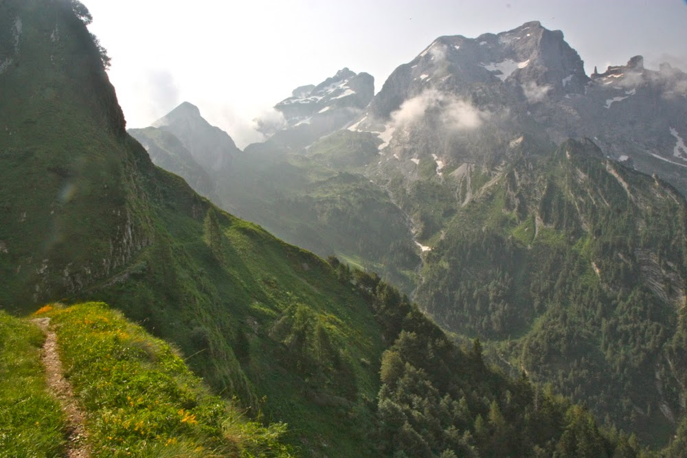
We lingered a long time in this pass, playing, taking photos, fooling around. We didn’t want to descend, as descent marked the end of Italy, the end of our walk and the end of our whole trip. Besides, we needed to give the snow a bit of time to soften enough for me to kick some steps. Neither of us fancied a slide of several hundred metres for a record breaking time with crash at the end. I think Bruce found this route testing to the edge of his scare-limits.
I will be back, as I adored it, but I fear it will have to be solo next time. I’m so glad I gave the route one last chance before giving up on it, and that Bruce got to experience its unique beauty before his Parkinson’s made something that challenging an impossibility.