Wellington winter 2020

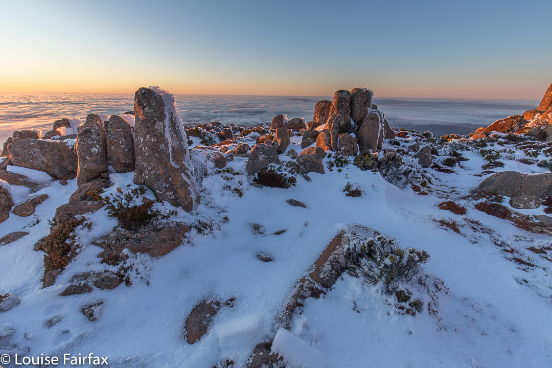
I had always wanted to climb Mt Wellington / kunanyi in the dark in winter with snow and photograph the dawn from on top, but never quite got around to it. I just needed a gentle shove.

This seemed to come in the form of my daughter giving me the encouragement I needed to set my alarm and just do it. I decided this was indeed the perfect opportunity: the snow was perfect; it was going to be a nice day. If I found an excuse this time, I would never do it.
It really helped that I’d climbed up the day before and had a glorious time on high. I knew the conditions of the track – I would definitely need my boot chains to prevent slipping on the ice. I knew the general layout, so felt confident. Once you’ve done it even one time, the rest is easy.
So, there I was an hour and a half before sunrise, headtorch in place, taking my first steps on the white, icy track. I felt exhilarated. Who knows what the temperature was – obviously below zero, but I neither knew nor cared how far below. The climb would keep me warm, and then the dawn would excite me, so I wouldn’t feel cold. I had three pairs of gloves on board just in case my fingers started dropping off while shooting.
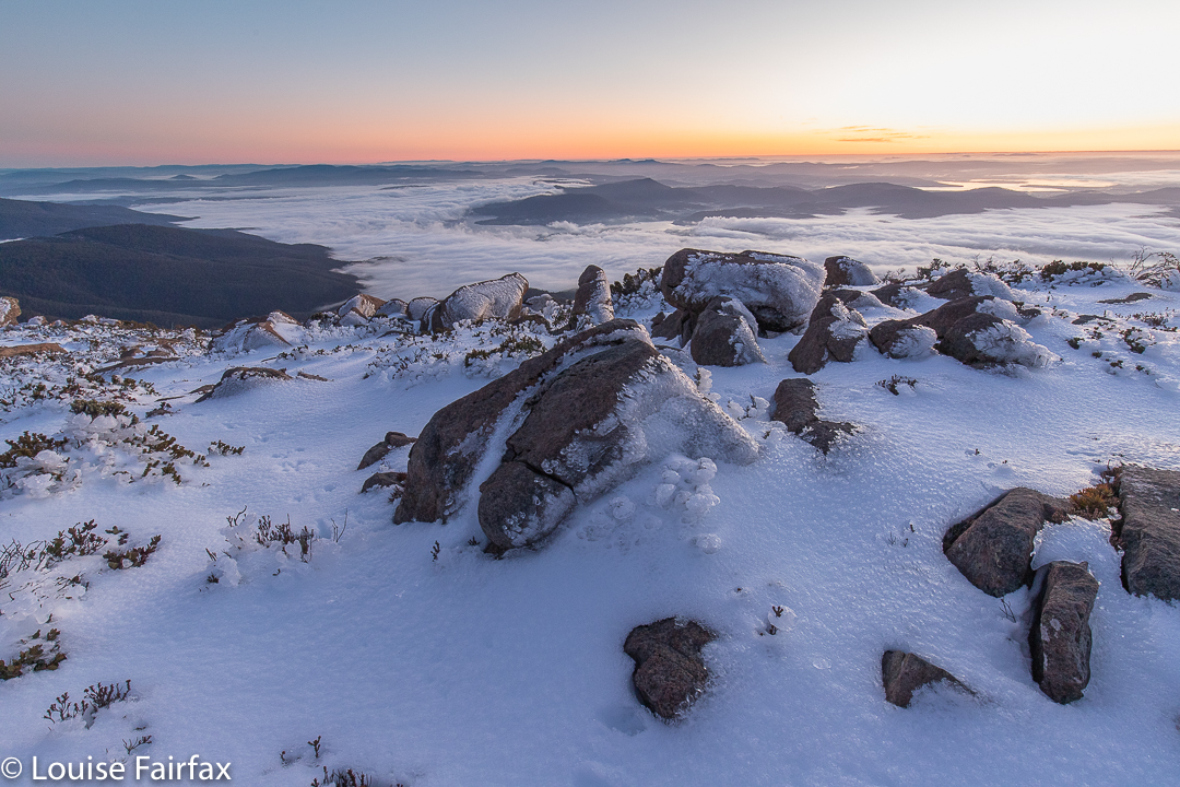
My headtorch lit the tiny icicles, so that it was as if I were climbing into the stars: stars below and above and white-coated branches all around; just me and nature and serenity. I had no company, so could just go at my happy pace, which was a brisk and purposeful one.
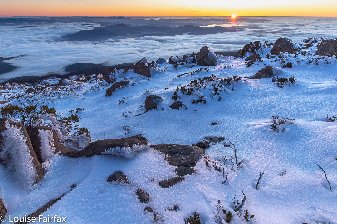
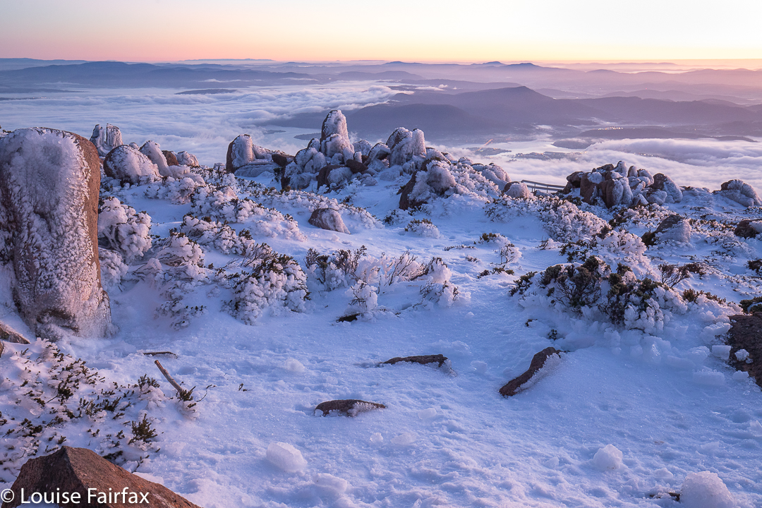
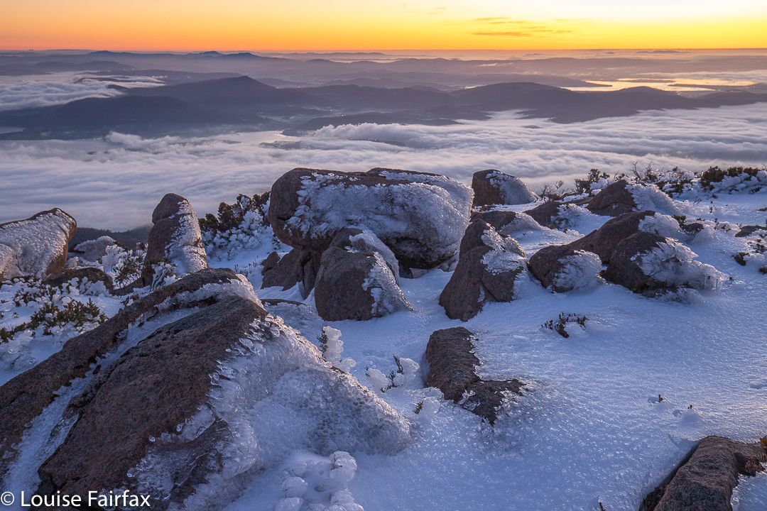
One hour after setting out I took my first shots of the city twinkling below me, white snow in front, the sky still dark but with a very bright orange glow on the horizon. I was at this stage only about five minutes from the summit, so took a quick shot or few before moving on. I was in plenty of time for the first beautiful light (seen above), and with masses of time to spare before actual sunrise (which interests me less than the pre-appearance colours. Given that I had plenty of time at this stage, I also took a shot or two of  the full moon in the west, setting as the sun rose out the other side, before choosing my location for the main photos.
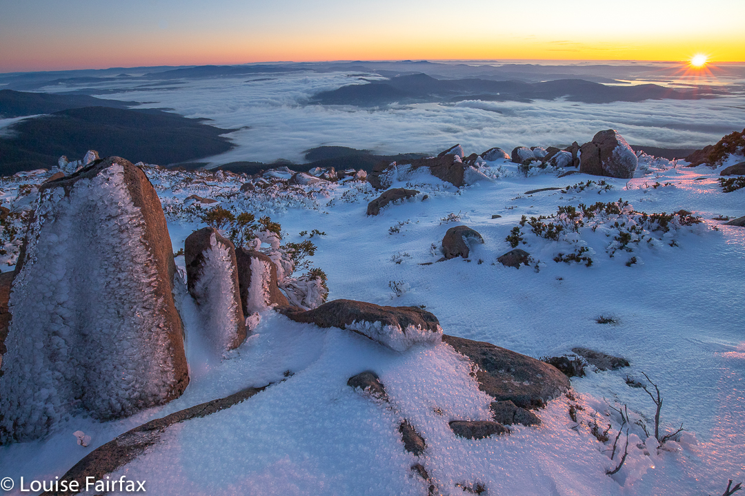
I had climbed alone, but there was another guy there who must have left earlier than I did. He was taking selfies off to my left, and apart from that, I had the world to myself.
And do you want to know something funny? I sent my two daughters a phone pic after I had done all the real shooting. It said: “My view, now”. I received back from my firstborn daughter a message that said “My view, now” – easily recognisable as the beautiful dolerite columns of South Wellington. We used our phones to meet each other and walk down the slope together.
That morning when she was running in the dark with friends, they said they’d drop her off if she wanted to run up the mountain and see if she could find me, so she took up their offer. This day is both a very happy and a poignantly sad day for me: it is young Gus’s birthday, but it is also Bruce and my wedding anniversary. Life and the memories of a beautiful marriage entwined in the same day. If Bruce were alive, he would be delighted that the morning was spent in this way, although he would not have tolerated being left out! He would have loved to climb up in the dark with me. We have climbed so many mountains together to watch the dawn from on top, but now I have to climb alone.

Six and Twenty Falls 2020

Six and Twenty Falls at St Marys were, for me, yet another tantalising blue line on a map that I could find no information on, with no hint of a photo or a story to indicate that anyone else had been there. Ah well, here goes for another adventure.

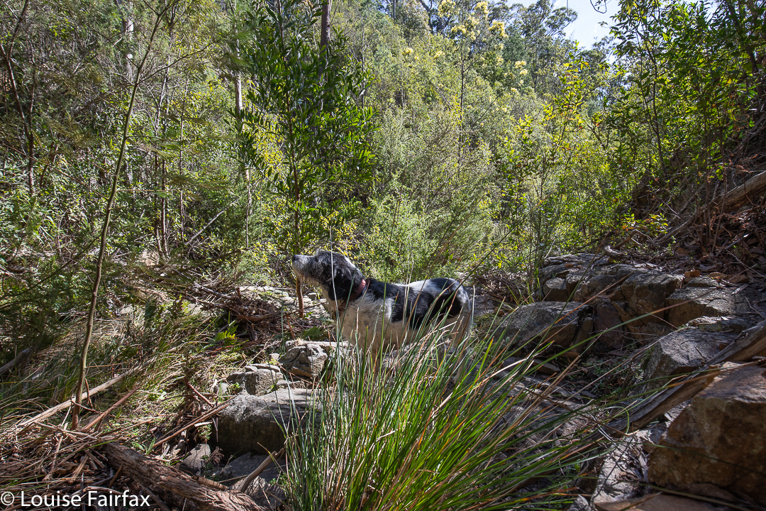
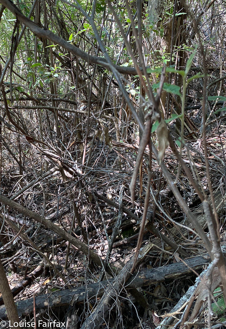
The beautiful bush through which I traversed

When map staring, I could see that they were just on the public land side of a public-private boundary, so I could navigate along the public land line and reach the falls without popping my tootsies onto someone else’s property. This was a nice idea. Little did I know that the bush would be so thick with a tangle of debris. I had to take on the role of living bulldozer to get through it. It was the sort of stuff you have to force your way through; it wasn’t a matter of climbing over or around: you just had to shove and keep shoving.

Sniffing possibilities

When I use the word “boundary”, that perhaps implies a clear mark on the ground, a fence or something. Na. It was just a line on the map, with no distinction between thick bush on each side. That said, I did feel a great longing to use farmed land in a longer route, but I had no idea who owned it, or whether they would mind someone using it to access the falls, so I persevered with the tough bush. What doesn’t kill you makes you stronger, they say. I think I was more psychologically than physically verging on being defeated.

This is what I thought the falls were, and where I ate, only later discovering it was a mere appetiser.

But from some hidden corner of my being I found the will to keep going, and at last after about 50 minutes of concerted shoving, I found what I assumed was the falls. Well, I found a pretty waterfall, and it was where the falls should be. I was relieved, and sat to eat and enjoy first; photograph second.

THIS is the real thing: Six and Twenty Falls. Sorry my camera was upstream.

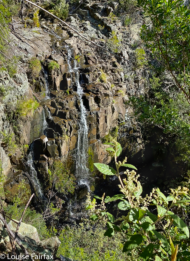
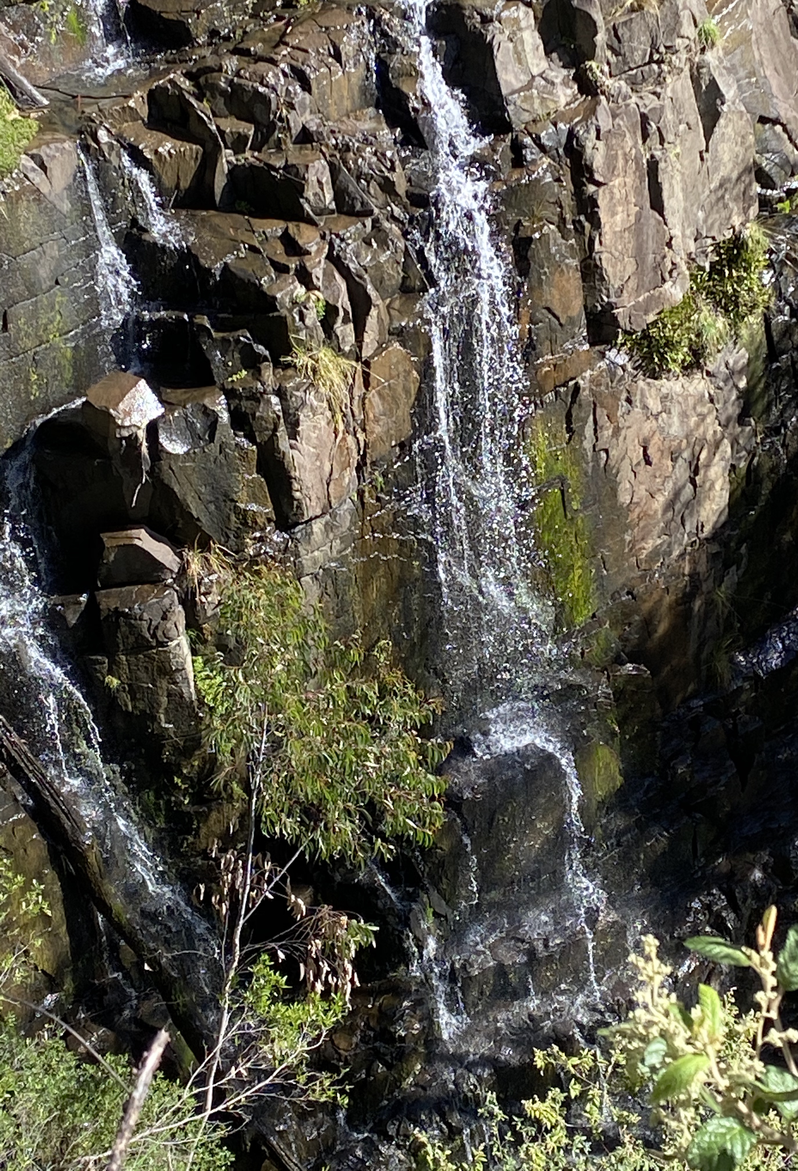
Just as I was packing up, I noticed a sense of space further below me. With Knäckebröd in one hand and my drinking cup in the other, I continued down stream to check out my sense of vacuum. Climb; haul, snoop; OH!! Here was a bigger fall. But there was still a sense of space so on I went (my pack with camera is now well and truly behind me. I have a cup, plb and phone. C’est tout). This next time I discovered a humungous drop. I had eaten entree thinking it was dinner. Actually, it was only a pre-entree appetiser. And there I was with only my iPhone. My camera was back at the appetiser. I took a few snaps and went to retrieve my gear – much harder than might be imagined.

Hopefully this gives you a bit of an idea of the scale – and of why I will return under better lighting conditions now I know what’s there

I got it at last, but was nagged by the desire to get to the base of this massive drop. That I did, but by this stage was so mentally exhausted I didn’t feel like unpacking all my gear to set up for a photo, or with dealing with the fact that where I descended to water level, I was too short to see over the rocks to get a good view of the base. I really felt that I had no adrenalin left to do any more fancy climbing, so patted myself on the back for getting there, and turned for home. The way back was faster, as I didn’t have to check direction as often, was feeling more confident, and had already pushed down some of the resisting bush.

Pretty interlude

Would I go back? If I had a bash partner, definitely. There was great drama there, but I’d had enough for one day. This was only really a recce, done in sunshine. Clouds would yield much better images. Besides, it was time for a late lunch number two, and I have become addicted to the pleasure of lentil vegetable soup at the Purple Possum in St Marys, and the cake I follow up with is always amazing. Time to refuel!

Webber Falls 2020

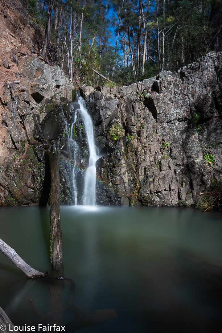
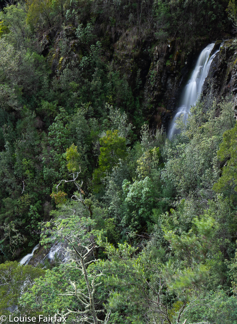
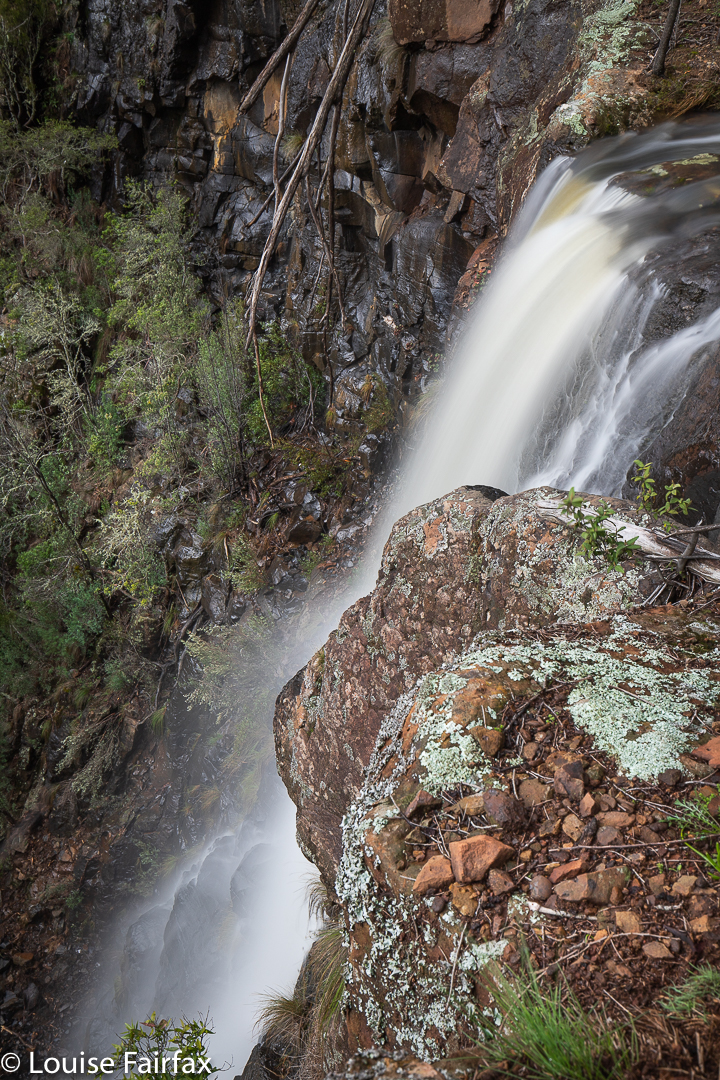
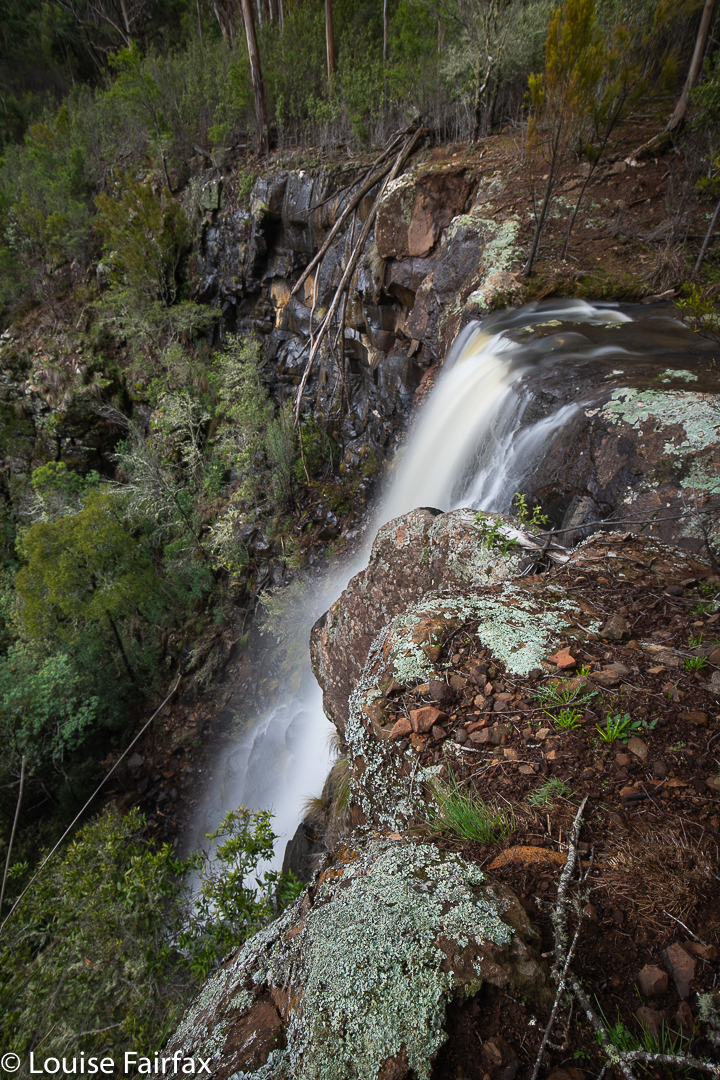
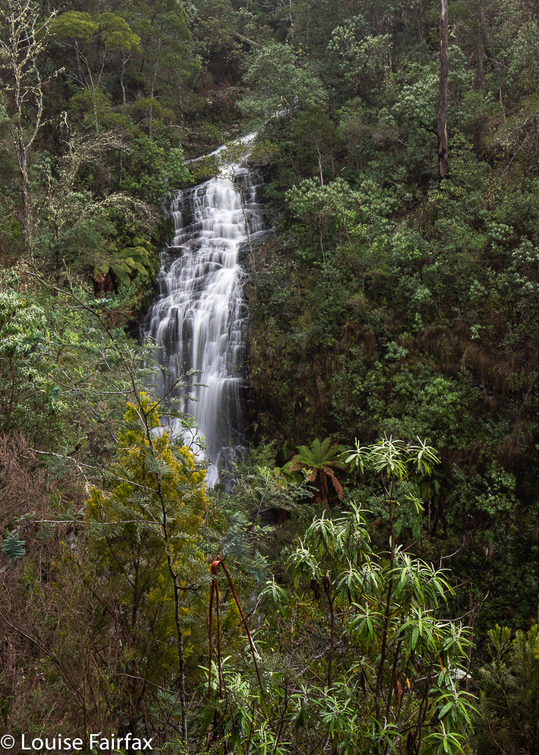
When map staring around the St Marys region, my eyes found two interesting little blue lines that needed exploring: one had a name, viz. Webber Falls; the other was on a tributary nearby, and was south of the named ones, so calling it Webber Falls South seemed appropriate. The “featured image” at the start of this article is a front-on shot of the actual Webber Falls, with three tiers. As you can see, the river kind of curls between tiers, so you need to be high to get all three in a shot.

Webber Falls from the side

I had heard they were extremely difficult to reach (my friends failing to do so), so set out without a great deal of confidence. I can now ascertain that the saplings that hug the creek area are very close to each other, which is easily overcome if you have my stature. Maybe it put my other, less-skinny friends off. I can also confirm that the ground is VERY steep, but, worse than that, it is unstable. I can count on one hand the number of times I have sent a rock flying, but these soccerball-sized rocks were in soil that was not well-glued, and it gave way very easily. The drops were humungous. I was a nervous wreck by the time I got to my chosen position for photographing the southern falls (having come via the actual falls). You couldn’t assume that the ground would stay put if you trod on it. I didn’t even put any trust in living trees, which are normally pretty reliable.

Webber Falls South

As if to prove my point, while I was slightly altering my camera’s orientation, my filter holder detached itself from its ring and dived overboard. I never heard it land. It had within its grasp my beloved CPL, as well as my much-used Little Stopper. So little did I trust the terra non firma on which I was crouched that I didn’t even dare lean out to see if it had found a shelf. I sort of tried around the side, but even if I had just had the displeasure of watching $1000 do a fancy dive, my life is worth more than that, so I sobbed at the extravagantly expensive but very brief show, but called it quits.

Webber Falls South. Bye bye gear.

I was not in a good mood driving home. Not only had I wasted a huge amount of money, but I was also now without my playtoys until new reinforcements can arrive. Waterfalls are flowing, and I don’t have what I need to make best use of it. But, hey, this is the person whose husband died in the wilderness. I am alive; my other family members are safe at home; my dog is alive. Much worse things can happen than watching your equipment dive over a cliff. Life and relationships are worth more than money or toys.

Grey Mares Tail Falls 2020

How does a waterfall get the odd name “Grey Mares Tail Falls”? Especially one that is in wet sclerophyll forest in the middle of the steep slopes dropping to the East Coast of Tasmania after the giddy heights further west. I wouldn’t have thought there’d be too many grey mares above or below the falls to prompt a connection. However, there is a Grey Mare’s Falls in Scotland, (with perhaps even some grey mares floating around nearby), so I can only assume one terribly homesick Scot named the falls after his former abode.
One doesn’t see this waterfall in flow very often, so it is also difficult for most people to assess the extent to which it does or doesn’t remind one of any horse’s tail, let alone that of a grey mare. And why does the horse need to be female??
Anyway, if it has been raining quite a lot, and you are in luck, and happen to be driving from St Marys to the coast (or back), then at the very top of the pass on the northern side of the road  is a little reserve with a parking area and a finely made trail taking you to the falls. This trail is quite pleasant, albeit it very short, so even if there is no water falling, it is a good place to stretch your legs if you didn’t do so in St Marys. And if you missed the water, and are curious about what the falls look like, here is a photo to satisfy your curiosity. I do not recommend travelling a great distance solely for the purpose of photographing these falls. This is the first time I have ever seen them flowing! I popped in as I was in the area to photograph the nearby two Webber Falls. It was raining, so I thought I might as well try my luck, and after a day filled with anything but good fortune, I did at least strike some here.

Please excuse the lack of apostrophe, educated people, but in deference to those who can’t cope with correct grammar, Aussie place names no longer have them. The English do, although Brexit belies any assumption that this is based on superior education in the former Mother Country.

Blairgowrie Falls 2020 Aug

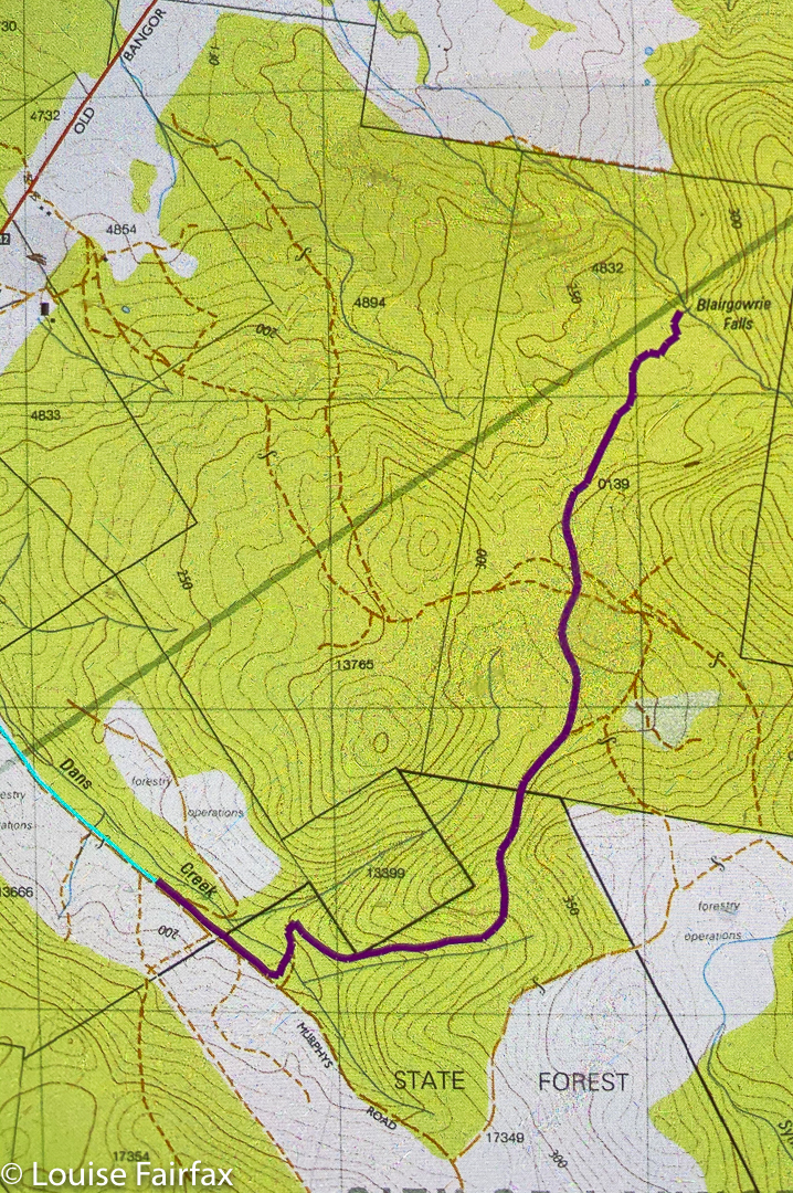
Somehow my route for Blairgowrie Falls was deleted from both my 2017 blog and also my gps. I have no idea how this happened, but several people have asked me about my route, and I didn’t like the 2017 photos, so it was time for a revisit. The forecast was a promising rain then clouds then more rain, but not heavy. Off I set to undo the deletion damage.
I drove from Launceston to near Hillwood, then headed off to the right (Dalrymple Rd C809 ) to Old Bangor Tram Rd C812, from which the road I wanted, Murphys Rd, issued. Siri can get you this far.

Blairgowrie Falls

I turned into Murphys with confidence, my gps now turned on, ready to repeat my route of 2017, BUT there hadn’t been a huge snow storm in 2017. Murphys Rd was more like a series of swimming pools of unknown (and invisible) depth than a thoroughfare for motorised vehicles. I was VERY glad to have my AWD, that’s for sure. And then the fallen trees began. There was absolutely no way any kind of vehicle could drive on Murphys Rd in its current state. But that’s what legs are made for. I parked and got to walk for longer. I wanted exercise, and the forest was pleasant enough, even though it was too late for fungi and too early for spring flowers (although I did see a few of both).
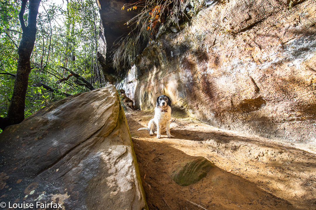
The fallen trees, however, made the going very slow indeed, especially for the first kilometre. My whole time was spent bushbashing along the cluttered road: ducking and weaving, climbing and tunnelling. I had absolutely no assurance I would manage to get anywhere near my goal, and was also not certain that it wouldn’t just be a rubbish dump of branches and debris like the road leading to it … but, nothing ventured, nothing gained, so on I moiled through the fallen junk. Tessa hurdled all the trees with astonishing grace. She floats like a kangaroo. She also ducked under fallen objects with far more ease than her taller mum.

Blairgowrie Falls

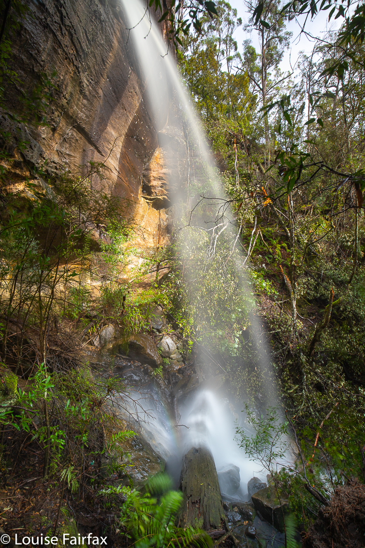
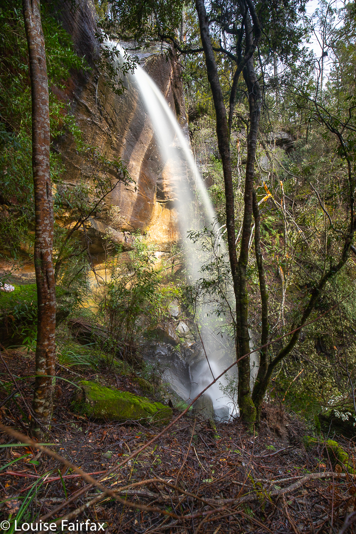
The falls were well worth the effort, and I enjoyed the amount of exercise I got, which gave me an excellent drive to walk ratio. I took 58 minutes from the car to the top of the falls, and 55 minutes back. My only complaint about the day is that I began and ended in light rain, but the wretched sun came out while I was at the falls, marring my photos. Ah well …

Blairgowrie Falls route. Cyan is whilst driving. The magenta is the section I walked, roughly 4 kms in each direction.