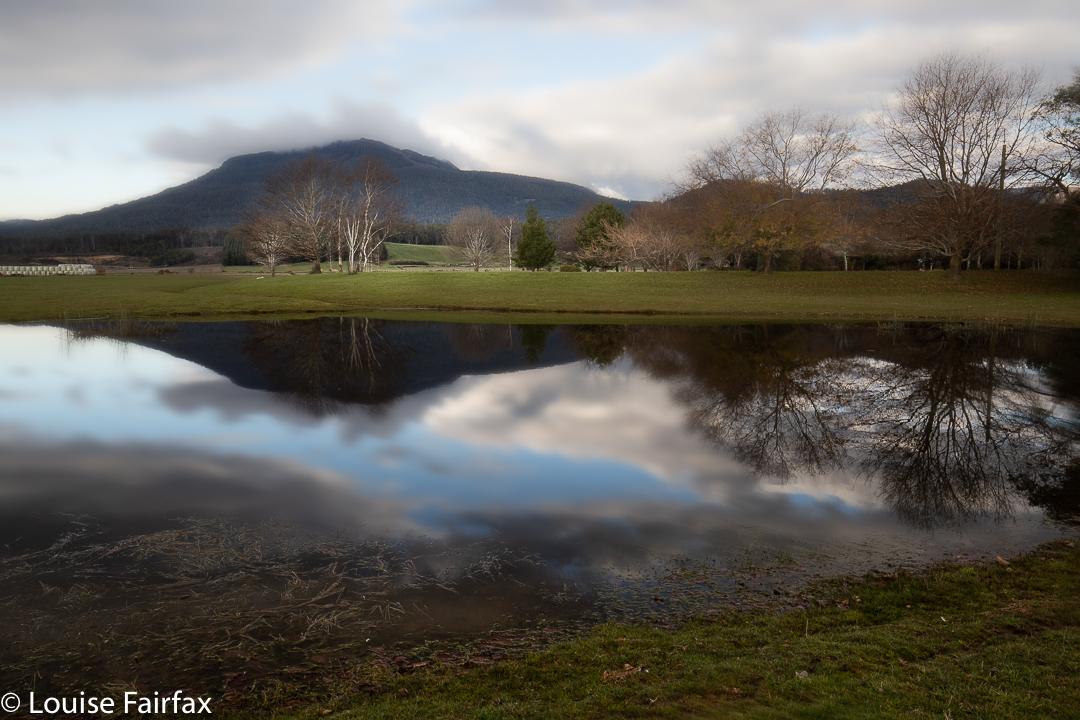
Wellington / kunanyi ski adventure 2020

Mt Wellington, the climb up

When a daughter says to come down south ’cause she’s free on Friday, and the two of you can ski on Mt Wellington, what quarter-sane mother would say: “No thanks”? Certainly not this one! I packed my skis and trappings and headed south on Thursday night, ready to begin nice and early on the Friday.
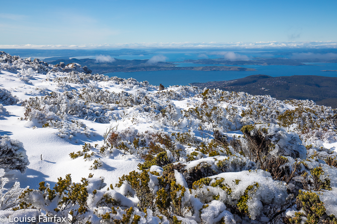
Mt Wellington, the top. Can you find the wallaby?

We dropped the children at school and drove straight to The Springs, where the road was (as expected) closed. With that nice early start, we had a good parking spot, right near the start of the climb. Let the fun begin.
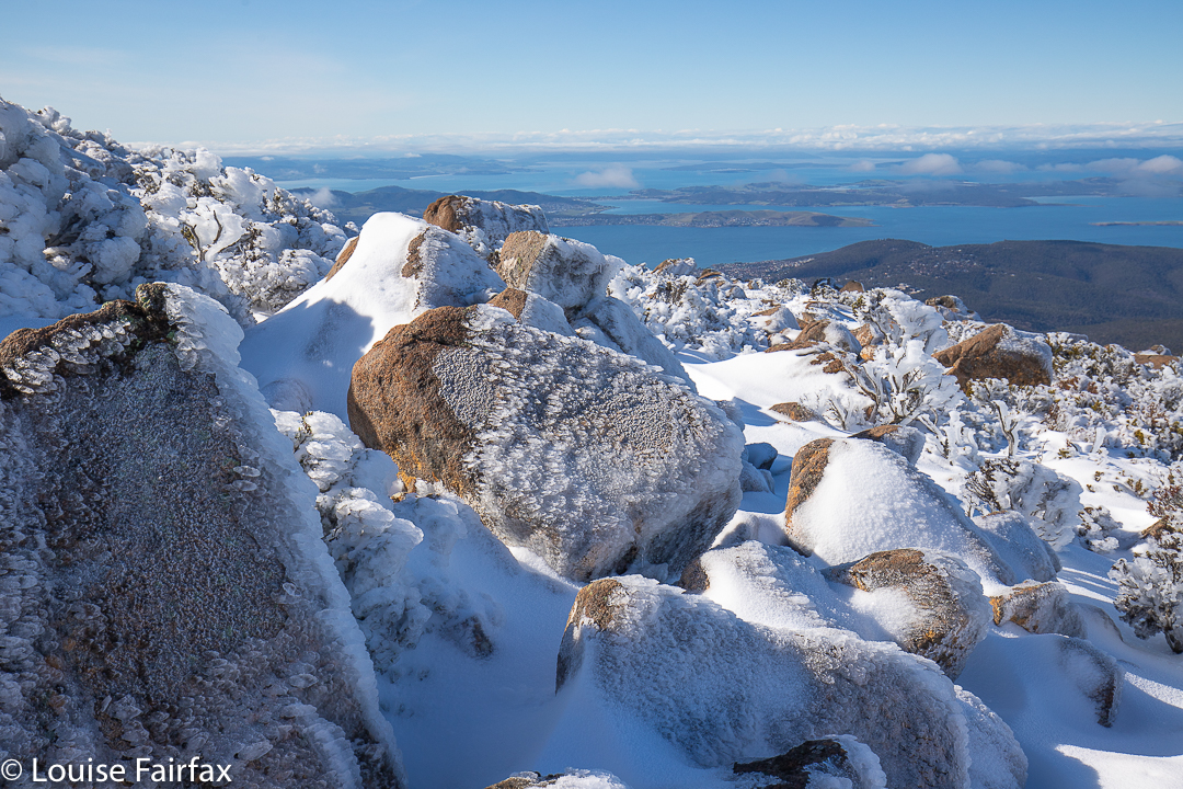
Wellington views to the ocean below

We were carrying “boot chains” and spiders (mini crampons) – utterly necessary – but had not yet attached them. However, the need arose quite quickly, and at the second icy patch, we stopped to put them on, after which the going was a lot better. My daughter kept eying up the terrain for ski possibilities, but the track was far too steep to even think about it. There would be no skiing until we were on top. I slowed things down with a few photos on the way (I just couldn’t help myself), but soon enough we were on top, and deciding which direction we wanted to pursue.
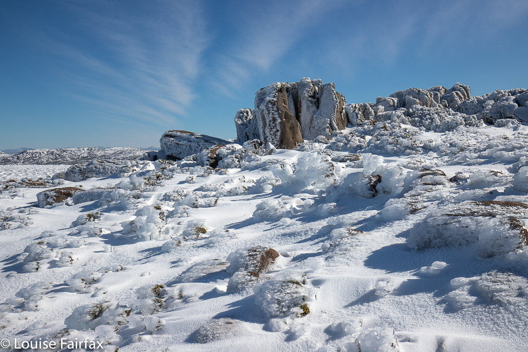
Mt Wellington summit area

South Wellington looked very tempting, and it eventually won the day, but, for me, not before briefly exploring the other direction first. There I met with heavy, noisy machinery squirting snow everywhere and ruining the pristine look of the environment so that cars could drive up there on the approaching weekend. Heck, we couldn’t ask the population to exercise their muscles a bit in order to see fairyland, could we. No. Far better to destroy it so they can all drive quickly up, take their snap and rush away again. I love it when the road is closed.
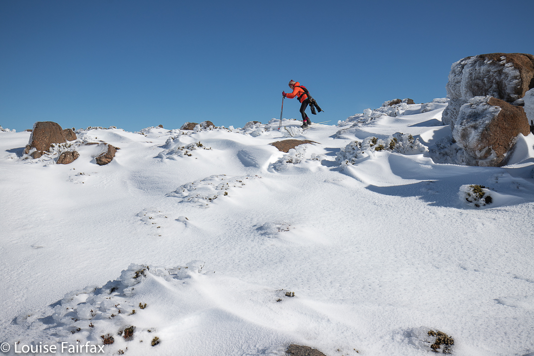
Wellington skiing

I turned my back on destruction and noise, and gave chase to my daughter, who’d gone off in the direction of the unspoiled fields to the south. Funnily, only one of the other people who’d walked up that morning ventured south, which meant we had this whole huge playground to ourselves.
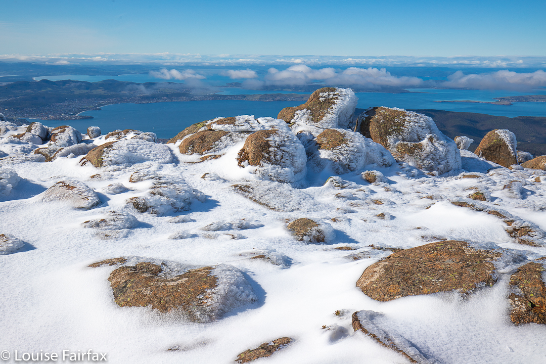
Wellington scenery

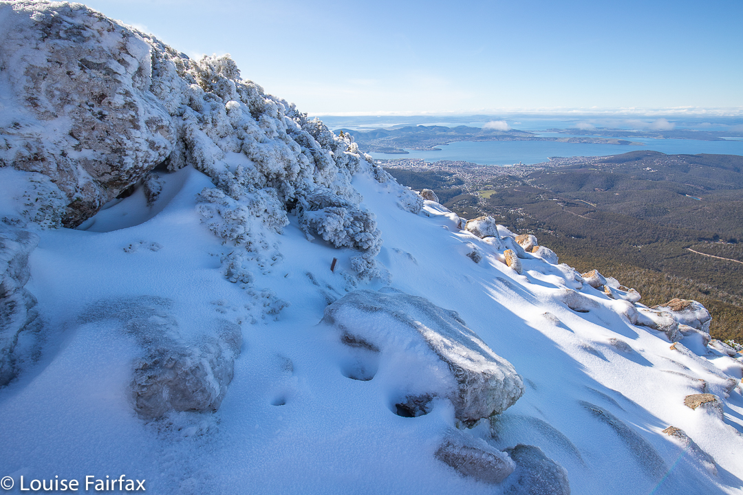
The pictures tell you of the extreme beauty we experienced that day. How incredible it was that right below us, admittedly nearly 1300 metres below, was the capital city of our state. We could see not only the city buildings and ocean, but even the sand of its beaches. But we were up above the clouds in a land of white (and blue). It felt like we’d accidentally arrived in heaven.
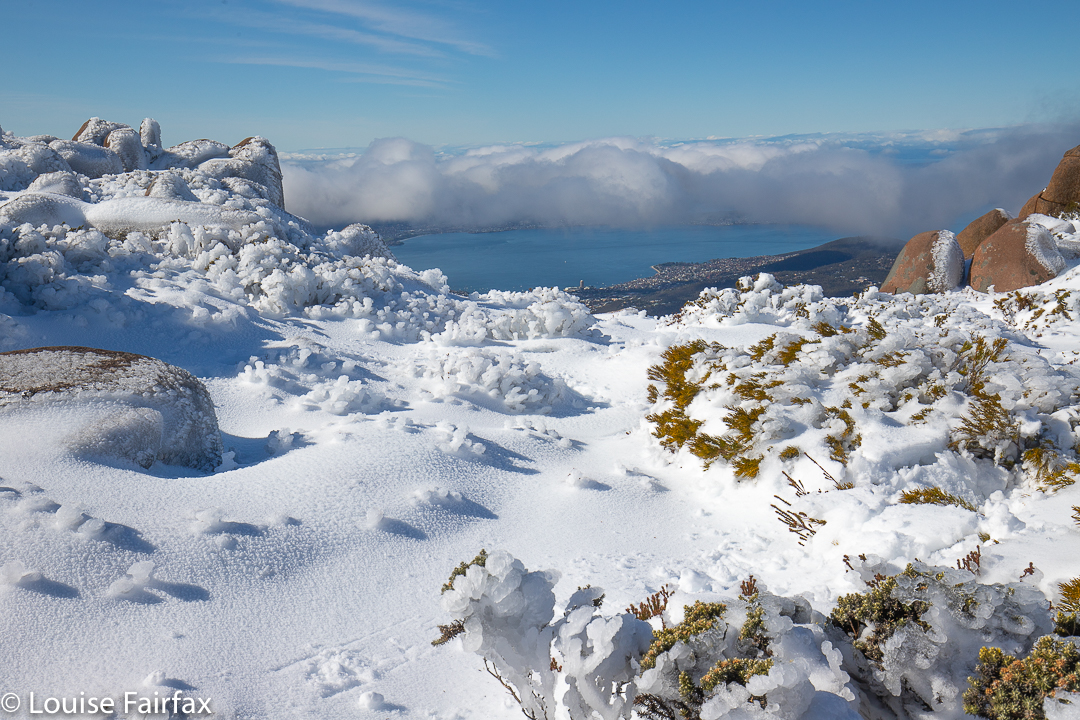
Wellington scenery

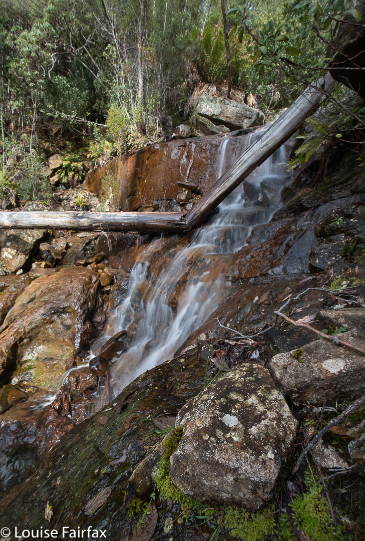
Dare Falls 2020 Aug

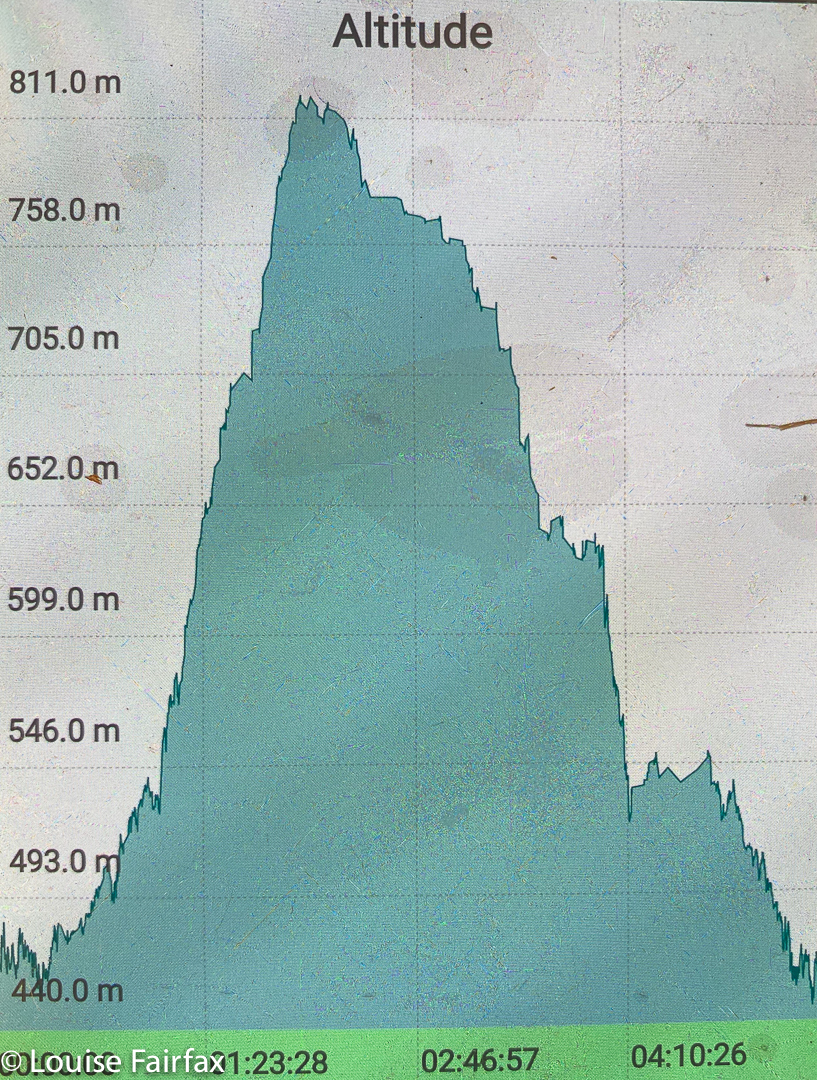
As I approached my waterfall (from above, actually), I gazed out at the facing ridge of what appeared to be loosely assembled scree that rose (or fell, if you will) in a sharp incline between the forest floor and the points of Ritters Crag above. I was reminded of a similar slope I had descended to reach Bear Falls on Mt Wellington, and with Bear Falls in mind, and my own rather foolhardy daring in being where I was on a solo battle with scrub and cliffs, I named my waterfall Dare Falls. It rhymed, and was appropriate. I had scaled nearly 400 vertical metres in a horizontal distance of not much more than a kilometre of untracked, and at times thick, bush. Surely not many people would dare that absurdity. (See the altitude graph below).

Dare Falls Lower

I had not set out to be daring. I have, unfortunately, little respect for contours, and enjoy the act of climbing, and of pulling myself up slopes. It’s my idea of fun. The excursion only became “daring” in my mind when the beautiful rainforest ceded to thick bush that resisted my attempts at progress, and became mentally tiring to push through. I had intended to begin my exploration of this watercourse higher up than I did, but the sight of all that interwoven scrub (taller than I was) made me reconsider. I reminded myself that I was here for FUN, not punishment, and not to prove anything to anyone, so decided that my outward journey had finished. I would descend to the creek and work my way down it.

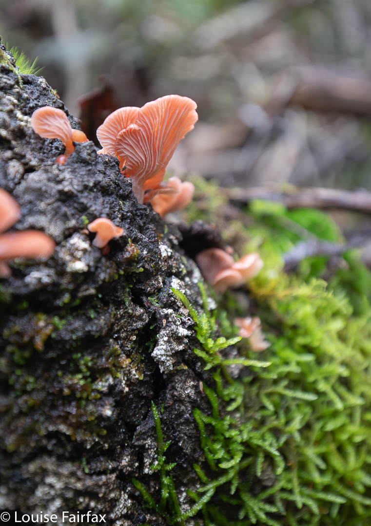
Panellus longinquus. A pleasant interlude in an adrenalin-filled day.
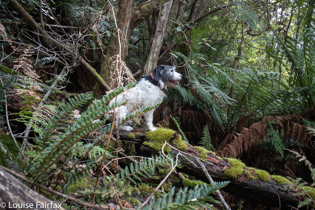
My darling bush buddy, waiting patiently. The bush we are about to traverse is off there behind her.

My climb up had been more on the dull nose of a mini sub-spur and, although it was very steep – all fours territory – there were no big cliffs to avoid. Closer to the creek this was not the case, and the watercourse seemed host to a series of 4-5 metre cliffs which I had to skirt as I lowered myself down. These same cliffs meant the existence of many small falls, but you can’t photograph everything, and I just wanted to make sure I actually got out and safely. In fact, I was actually more concerned about the idea of being enmeshed in closely serried dogwoods than falling off anything, but I was concentrating on movement and not photography.

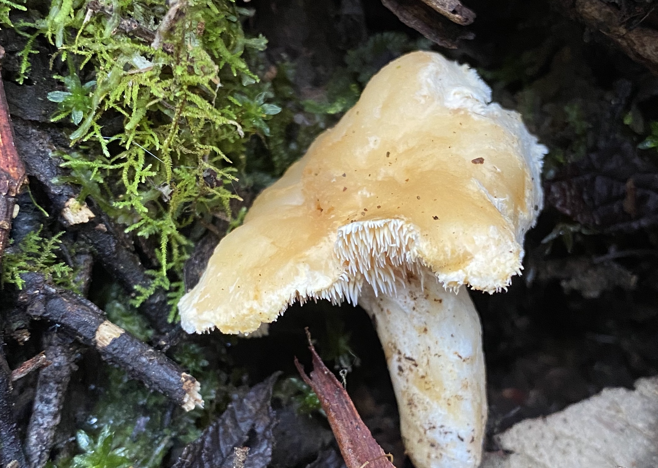
Hydnum repandum with its funny spikes instead of gills.
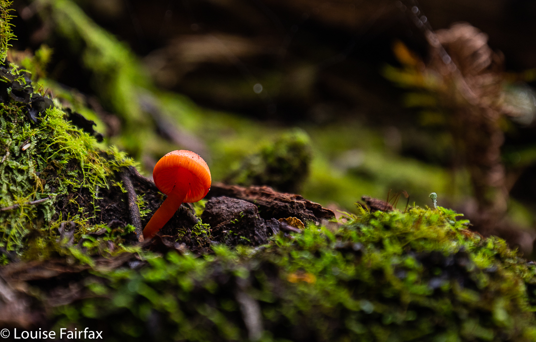
Hygrocybes brighten any day

Down, down I dropped, past Dare Falls and Lower Dare Falls (how very original) to the endless series of drops mentioned above. I lacked the emotional energy to explore any of them by this stage. My brain was now officially tired. It was so fatigued I hardly photographed anything properly. The whole idea of perching precariously on one of my many ledges and parking my heavy rucksack in a way that would allow me to extract my tripod seemed impossible. Something would be overbalanced in the attempt. My gear (or I) would crash down below. Much better to use rocks as makeshift tripods. I didn’t even get out the filters I was carrying. I just used a series of 20 x 1/10 second exposures to combine for a single long exposure later. Even lower, where it became safer, I was just too mentally tired to be bothered – even in the presence of fungi!!

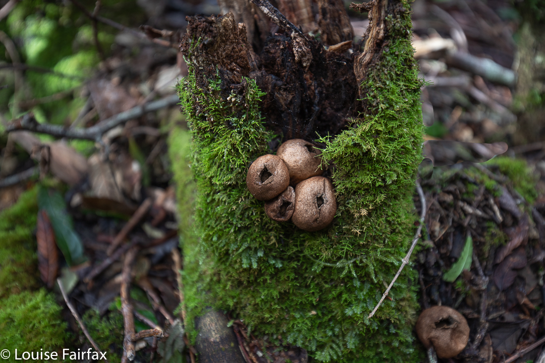
Lycoperdon perlatum

My final obstacle before the easy bit along the bottom was the same as my original one: a crossing of the Duncanson Rivulet. I hauled out anything electronic and made sure it was all in a drysac, grabbed a stick to help with balance and picked my way across the slippery rocks with water flowing over and between, singing as I went an old Seekers song (which dates back to a Scottish folksong of the 1600s): “The Water is Wide, I can’t cross o’er”.

Altitude graph

Badgers Range 2020 July

I love traversing Ranges, and the Badgers Range of North Tasmania is no exception. In fact, it has been one of the best. We even had to vote on whether or not it was better, or not quite as good as, the famous Striding Edge in the Lake District of England.

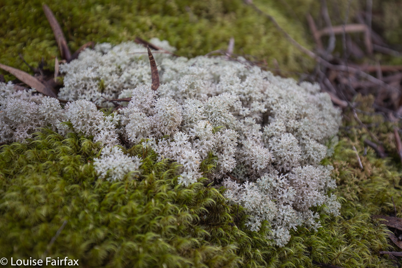
Coral lichen Cladia retipora
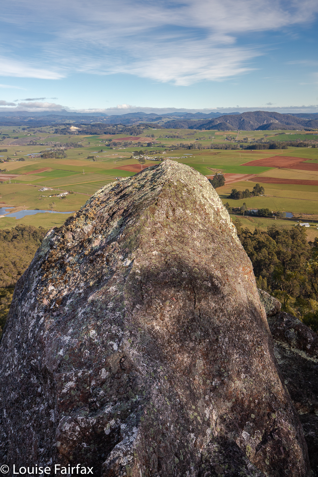
Maiares Lookout

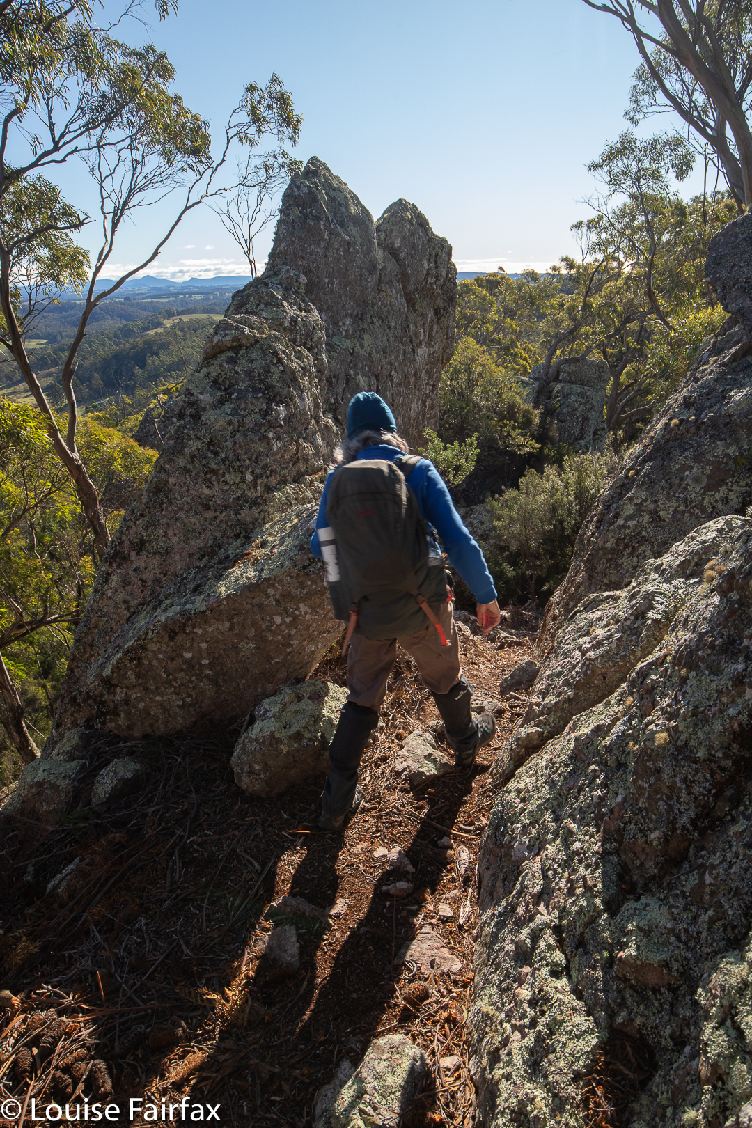
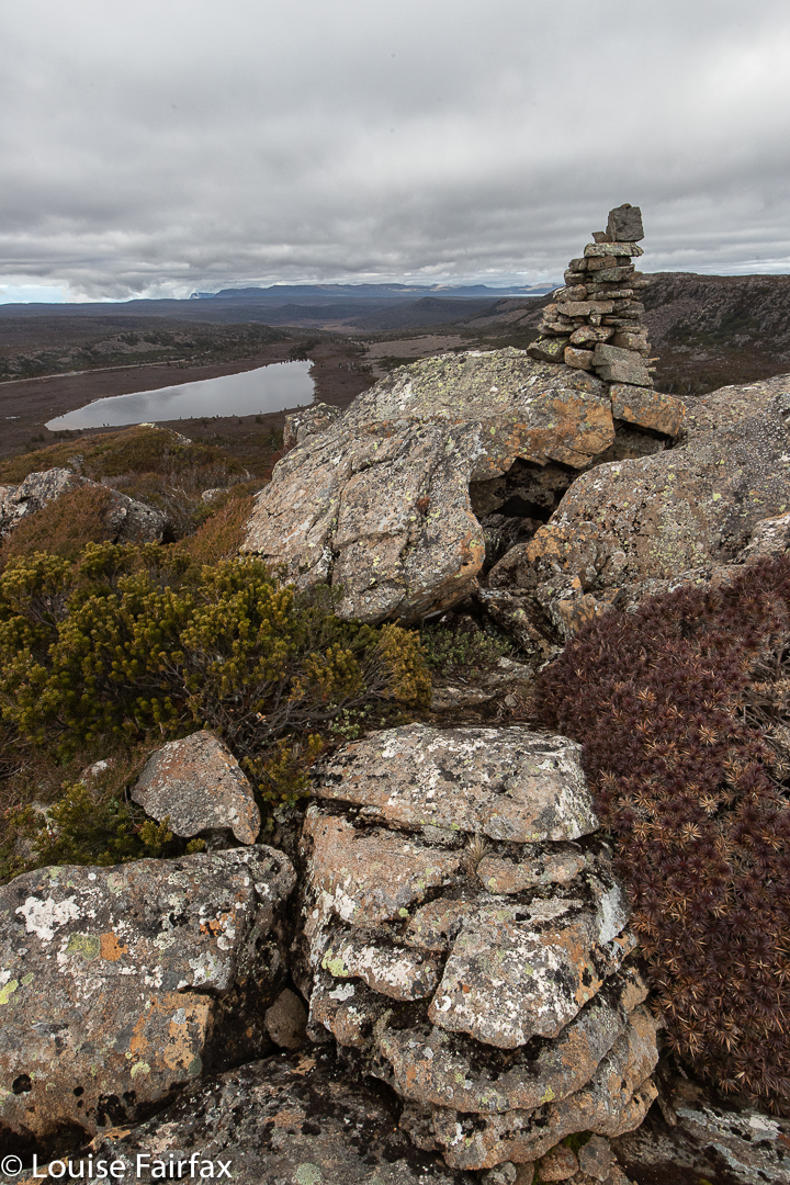
I went with my “Wednesday Friends” (yes, only friends on a Wednesday, ha). We met at Sheffield, and drove a few kms along the C150 towards Kimberleys Lookout, where we deposited the passengers, while the drivers proceeded to the northern end of our route, dumped cars and returned to the others in my car. Now the fun could begin. We climbed the steep and delightfully narrow, natural “path” (thank goodness PWS has not been in here to make it a monster of modern scared tourism). There were lots of options, written on quaint hand-written signs of wood. It was fun. We chose the Moss Garden route to Kimberleys Lookout via Maiares Lookout. This day, we also visited Charlies Lookout, Christinas Lookout, Tims Lookout and another nameless one that was one of the best. Maybe they’d run out of people to name. The views didn’t suffer for this fact. There were so many brilliant lookouts I may have well forgotten the name of one (or more) of them. Only Kimberleys has a name on the map.

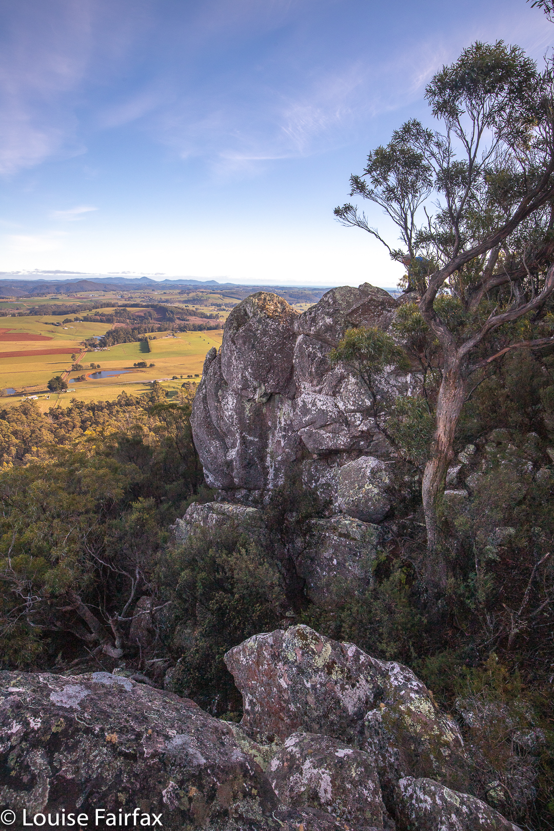
Lookout. Lost count of the names

Once we were finished lookout out, and had gone down and then up to the nameless one, we went even more steeply down (quite a serious descent, this one) to a saddle before climbing just as steeply up the other side to the Badgers Range High Point, where we sat in the sun with monster views to enjoy our lunch. I also explored the labelled “speccy” view off to the east whilst waiting.

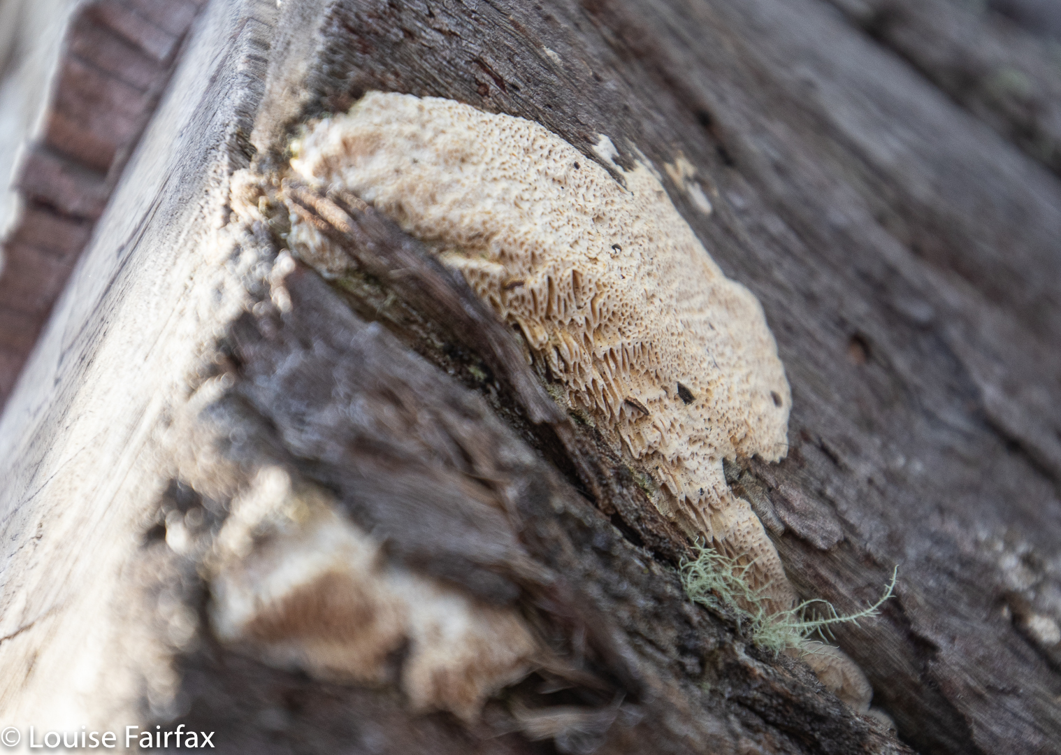
Fascinating resupinate fungus, showing the details of its structure.
Badgers Range

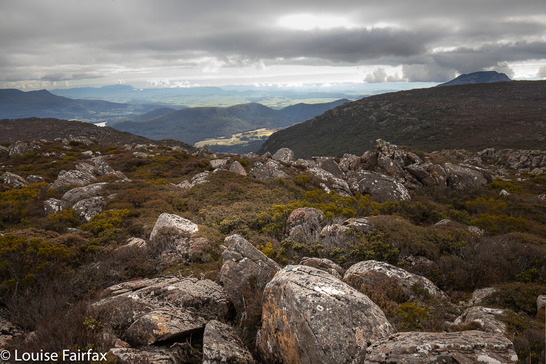
There followed another series of lumps and bumps and lookouts and rocky mounds to play on, each with a slightly different, but always enjoyable view.

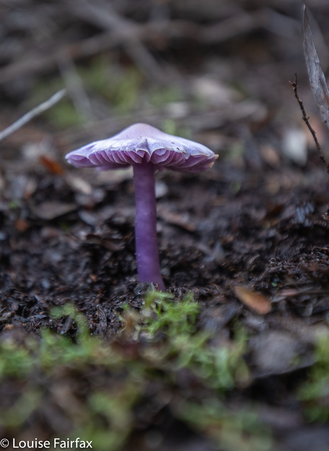
Hygrocybe lewelliniae

It was a fabulous walk, and there were even fungi for me to find (and pink and white Epacris blooms). Unfortunately, I didn’t have my macro lens with me, not actually expecting to see any fungi, so sorry about the reduced quality that comes of using a wide-angle, landscape lens on something so fine and delicate.

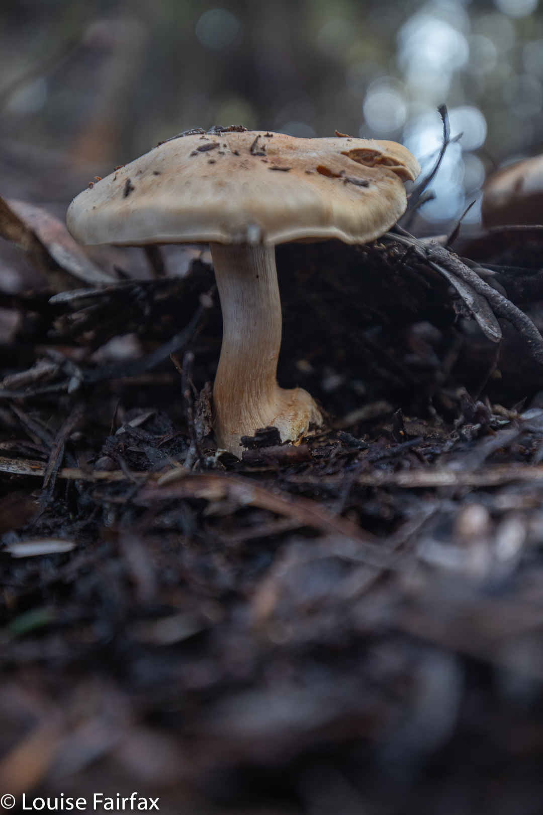
Cortinarius ‘buff with lilac gills’

We covered 9.14 kms of horizontal movement, with 700ms of climb, yielding 16 kilometre equivalents. If your situation doesn’t allow for a car shuffle (which will be my lot the next time I visit), then a lovely walk can still be done, going out and back, choosing your own turnaround point.

Fabulous light all day

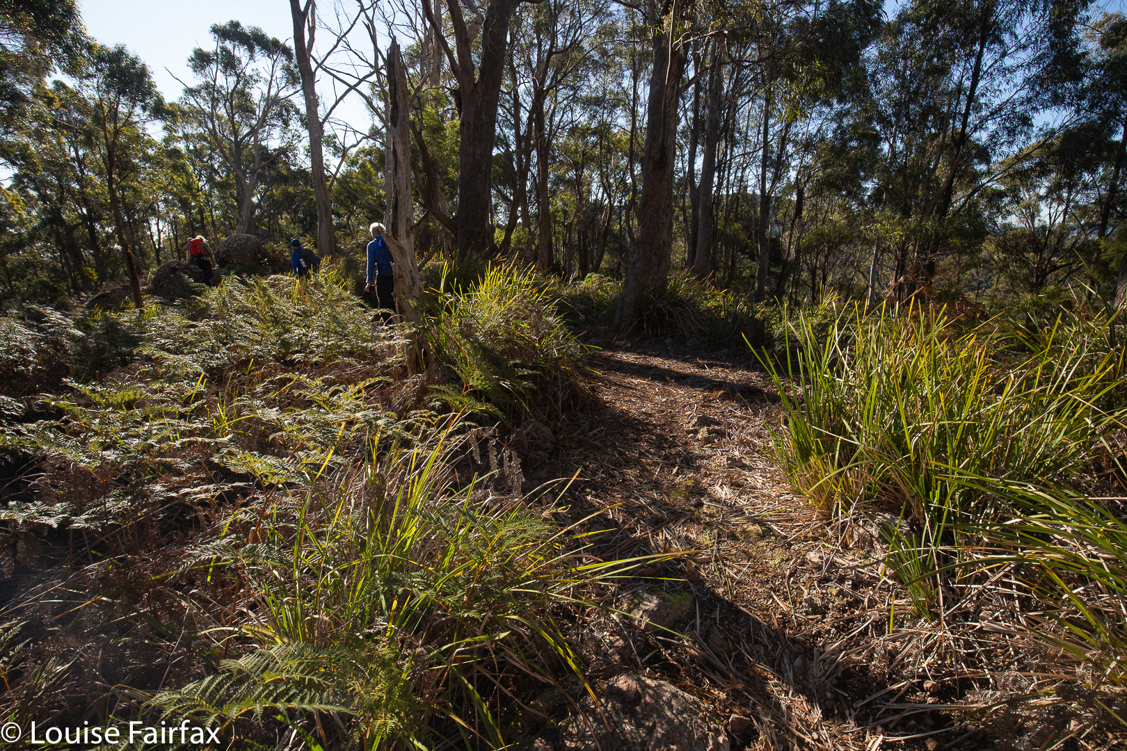
Tonight I will download our route for you. Meanwhile, if you want to do it, just follow the ridge … . There are arrows on the trees, or tapes the whole way anyway, and there is always a pad or path.

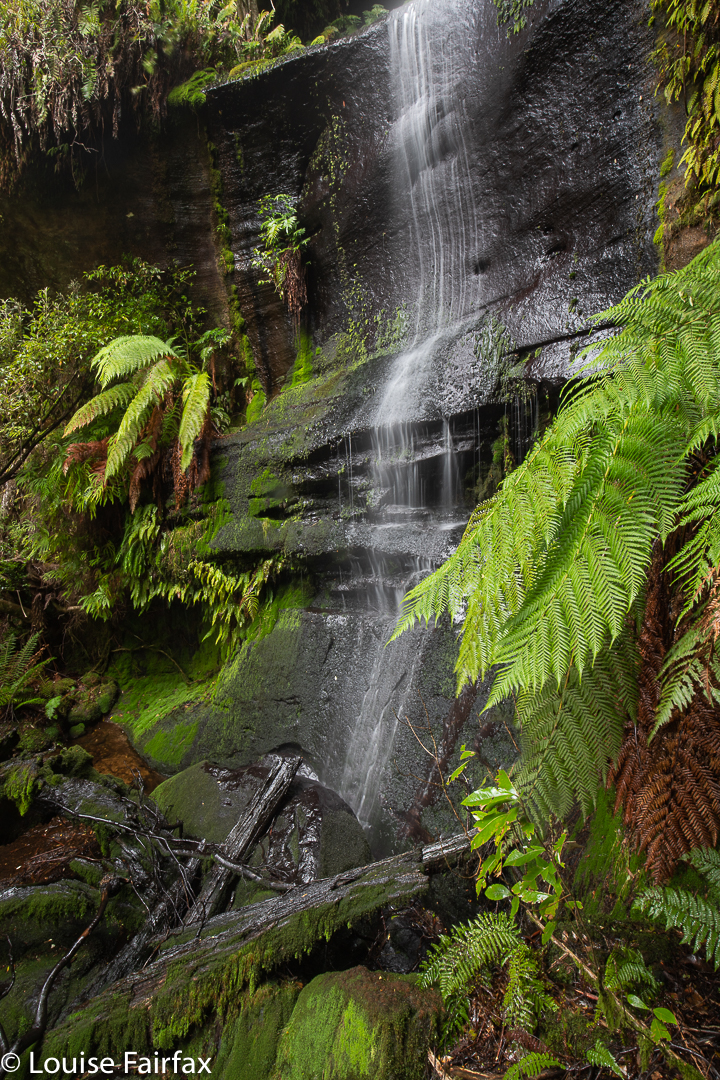
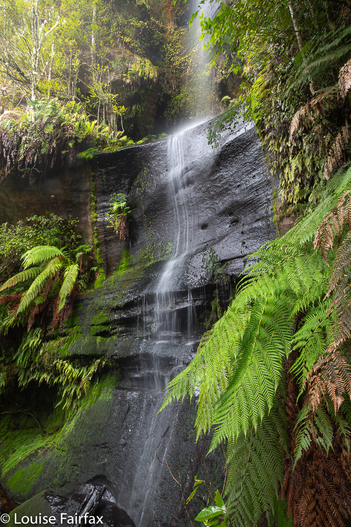
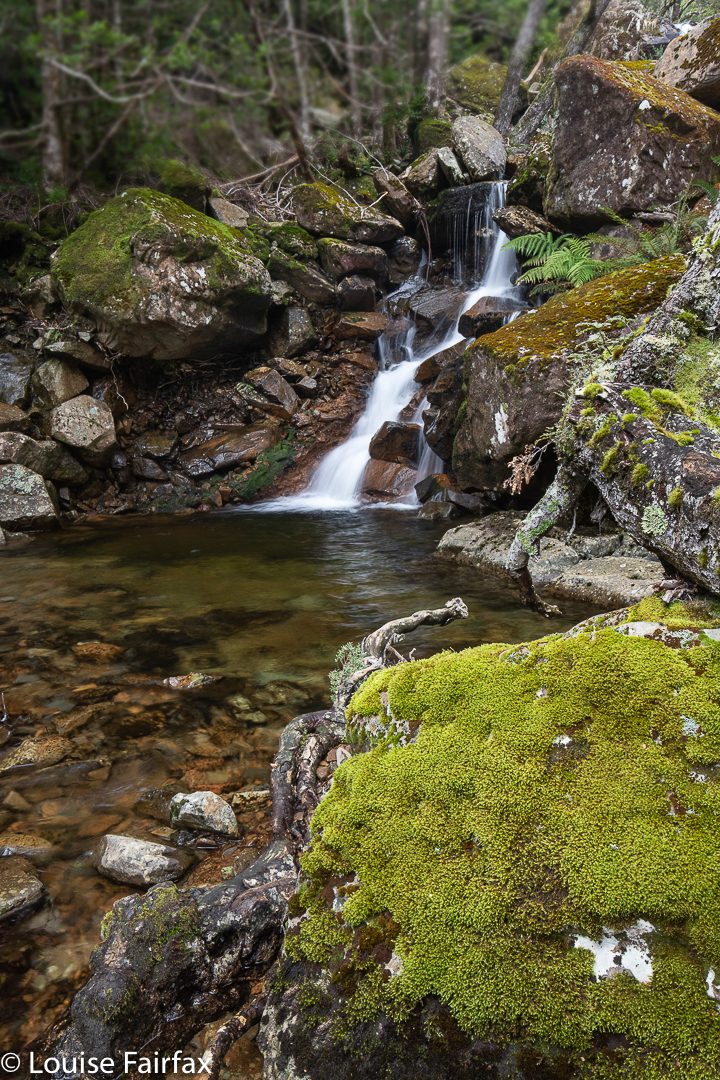
Warners Creek Tributary Falls

When we were walking Warners Track last week, I noticed a tantalising blue line across a neighbouring creek, and wanted to do a bushbash to see if that line actually represented a real waterfall, and, if yes, whether that waterfall  was a worthy one. The contours certainly looked promising. In fact, it could be a huge drop, looking at the map. My friend Penny said she was also interested in this matter, so we agreed to give it a go this weekend.
We parked in the same spot as the week before, but went off in a different direction, up a pretty steep slope, over and under and through numerous fallen logs, around the odd patches of rather thick dogwood and regrowth of some nature, past serried tree ferns, and there was our promising cliff line.

Warners Creek Tributary Falls

My gps said we were closing in on our grail, and sure enough, it soon became visible. We haven’t had much rain lately, so it was a delicate drop today – a fine and flimsy tracery of water, dropping about thirty metres in three close stages.
It’s always very rewarding to find a waterfall that is only a possibility rather than a certainty, and to make our own unaided way there through virgin bush. How lucky we are to live in a place where this is still possible.
We chose to have a slightly different route on the rebound, exploring other areas of forest, to make a kind of circle by the time we arrived back at the car. It always feels good to have been off exploring. I knew I had missed it during lockdown, but today I realised how very much I had. Warners Track had been very nice, but making our own way through unchartered forest is far, far better.

Burnies Creek Falls, Adams Peak 2020

I am the sort of person who is always in a rush, trying to squeeze as much life into every second as is possible, often multitasking and too often running late because of both the above.

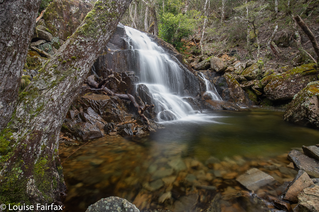
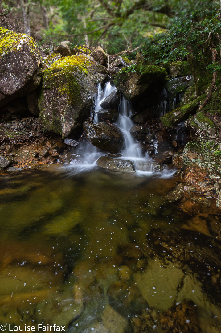
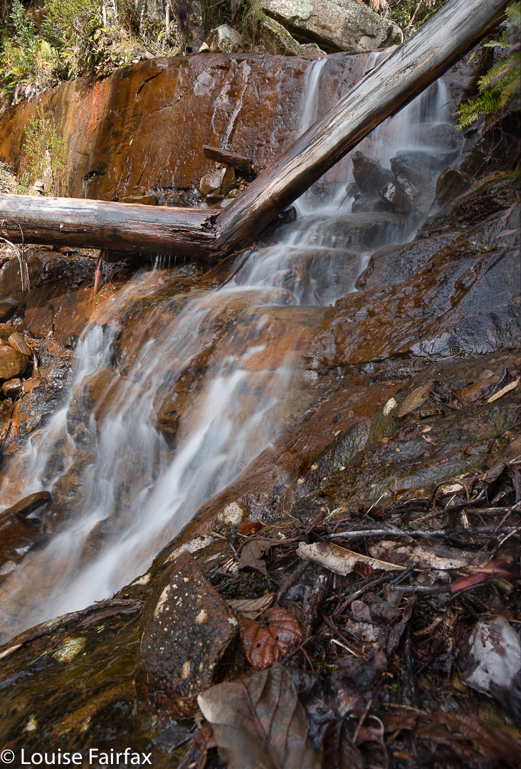
Burnies Creek Falls 1

Now, because of trying to squash five lives into the space of one, I didn’t allow time for research on these falls: I had heard they were below “the” bridge over Burnies Creek, and that was the sum of my knowledge. Sounds easy enough. I parked beside such a bridge, but could find no waterfall. I thought I had to search harder.
I had received an invitation to join others on this day, and do a hike up Warners track to Adams Peak. These others had arrived, so I told them to set out without me; I would find and photograph these falls and give chase up the incline.

Burnies Creek Falls 3

That was a good idea, except that although I found areas of deep and interesting erosion, my search was devoid of waterfalls. I gave up and set out up the beautiful track, sidelined by fungi now and then, but I eventually caught the others.

Adams Peak summit

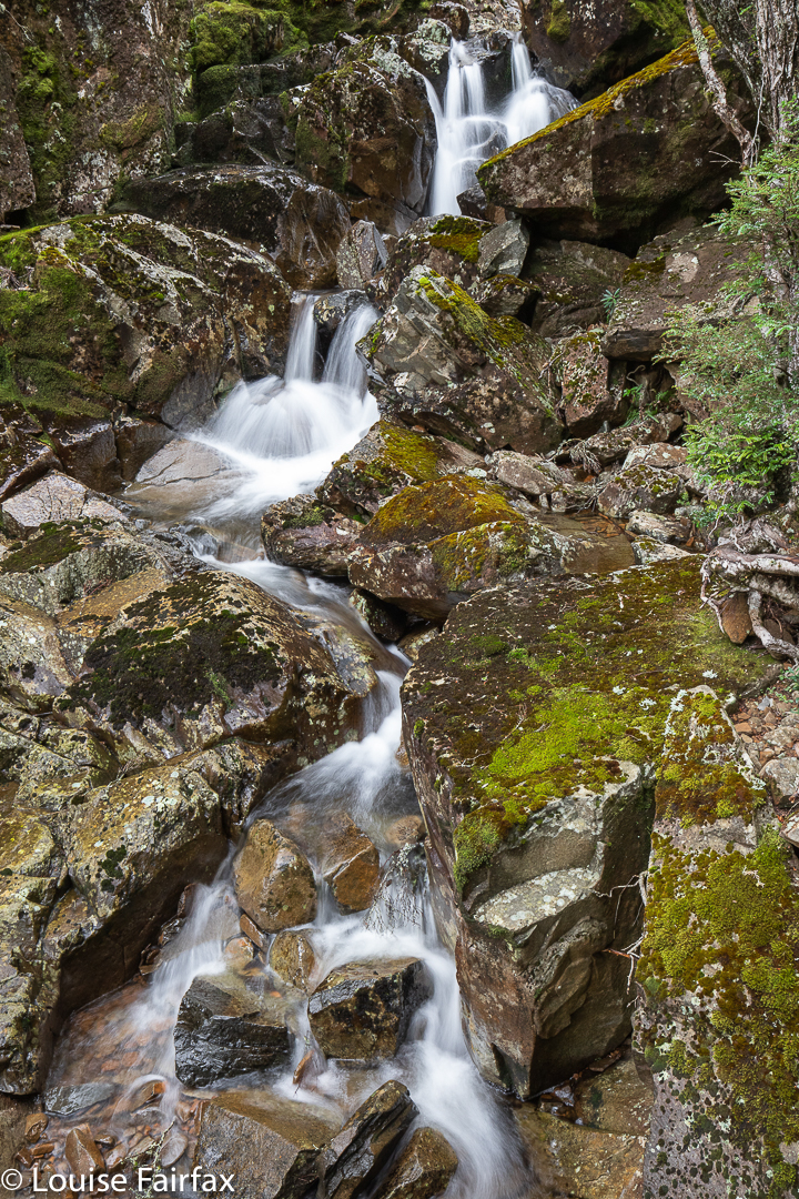
Right near the top, however, there was another bridge, and below it, both waterfalls and a cascade. I photographed three worthy falls plus the cascade.

summit views

Once past the top bridge, the track levelled right out, and the beautiful forest ceded to alpine scrub. Our goal of Adams Peak was clearly visible, and not far away. It was a fairly easy scramble up, and we were rewarded with views that were surprisingly vast. It was amazing what we could see from a climb that seemed inconsequential.

Burnies Creek Cascades

As it was winter with short days and a bit of a chill on top, we didn’t linger too long, and were soon rolling our way down the slope to the cars. It was a good length’s walk for a winter’s day; I was home in time to do a couple of outside jobs and collect wood for the fire before night descended.

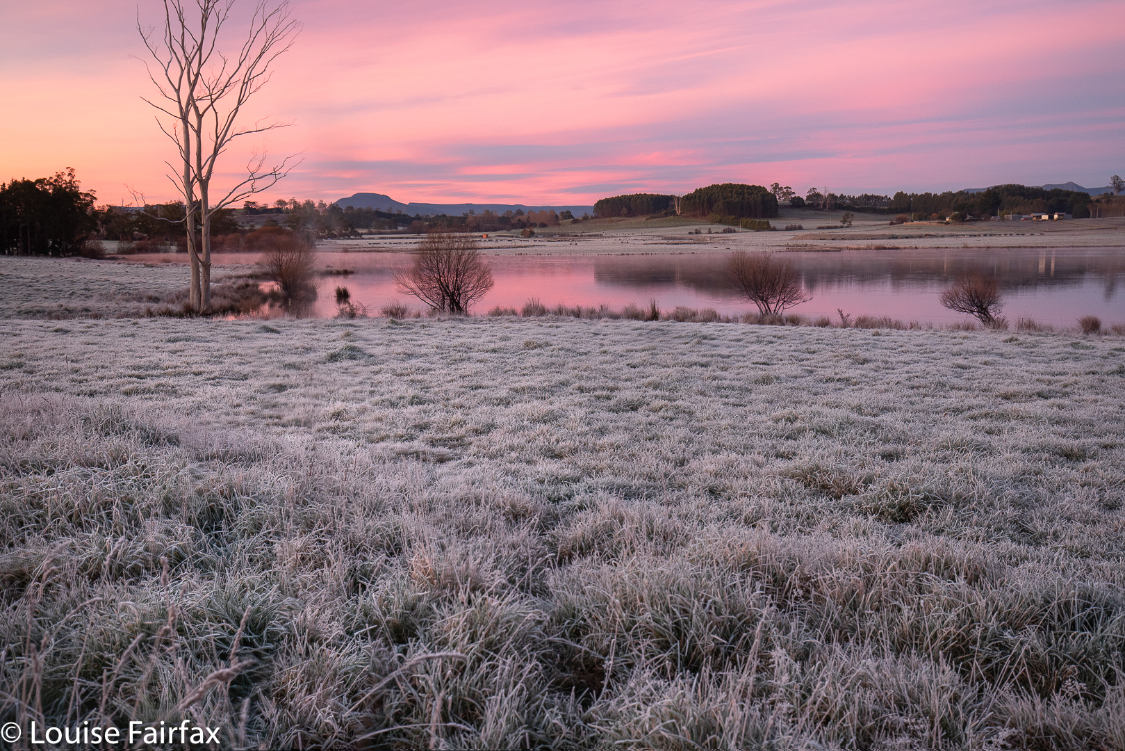
Quamby Bluff on the way home