Hinman Creek Falls 2019

I felt unbelievably refreshed – and somehow cleansed – after my excursion to Hinman Creek Falls today. It’s hard to describe that special joy you have when you have been in the wilderness alone. In this particular case, there was probably an adrenalin release contributing. It was rather a scary little waterfall.
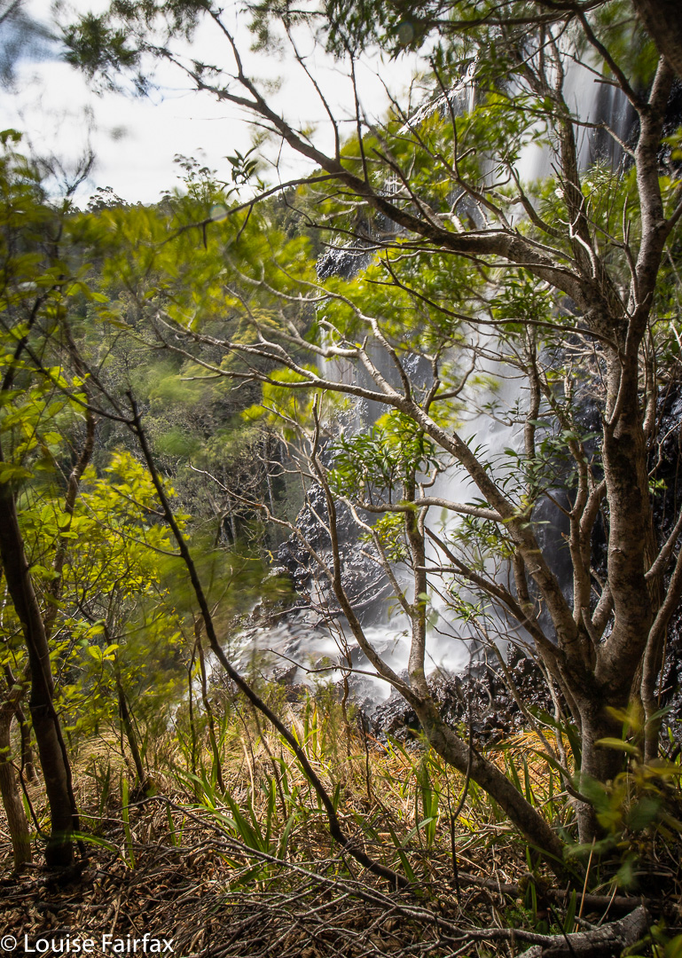
 
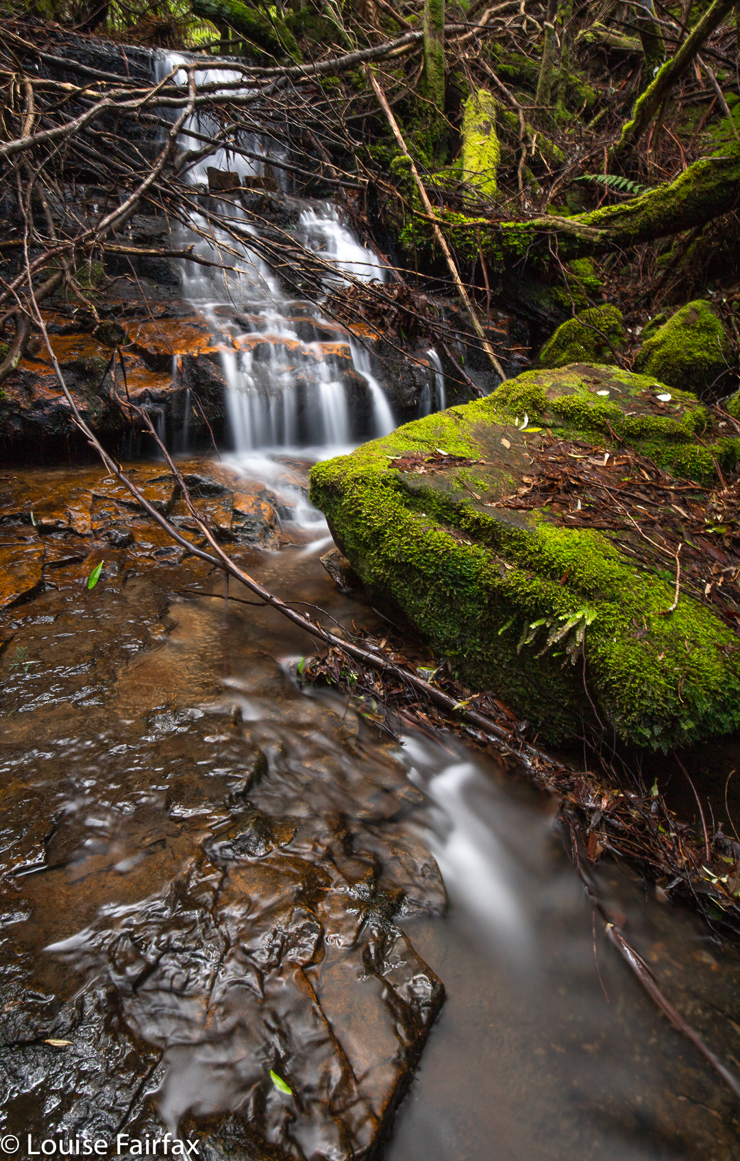
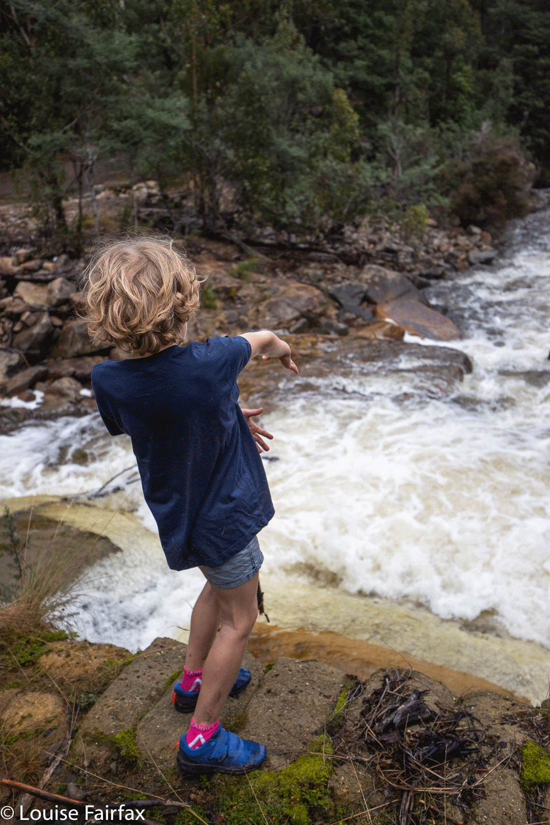
This is actually just a little waterfall above the top of the moster drop that begns just there where the white tumbles over. The sense of space and drop at this point was huge. I was glad of the trees in the picture to break any possible fall. If any bit of my camera equipment slipped and began to roll, it would be “goodbye” forever. 
It has been a few months since I have had a proper adventure in Tasmania all by myself. Of course, I climbed everything in Iceland and the Faroe Islands by myself, but that is different from being in the Tasmanian wilderness, where you are much more alone and hard to find. I was so “alone” (but not one scrap lonely) that I went to text my girls to tell them where I was in case I didn’t make it back safely, but I was out of range. Oh well. I was being careful anyway, and I did have my epirb.

Hinman Creek Falls is one of many waterfalls that is just a blue line on a map that I noticed. This blue line is on the route to Cradle, near Moina. I did some research, and found that Clint of TasTrekker had been there, and noted that he had skirted private property the whole way there and back. It was on. I didn’t use his route, as there was no clear demarkation on the more northerly side of the property to be skirted, to indicate where the boundary actually was, so I went to the further, southerly end, where big overhead wires cross the main Cradle Mountain Rd, and where there is a clear fence on the boundary. It lasted all of a few metres. Oh well. I had my gps, but the bush is actually very thick, so I did stray over the black line when not walking with my face in my screen.
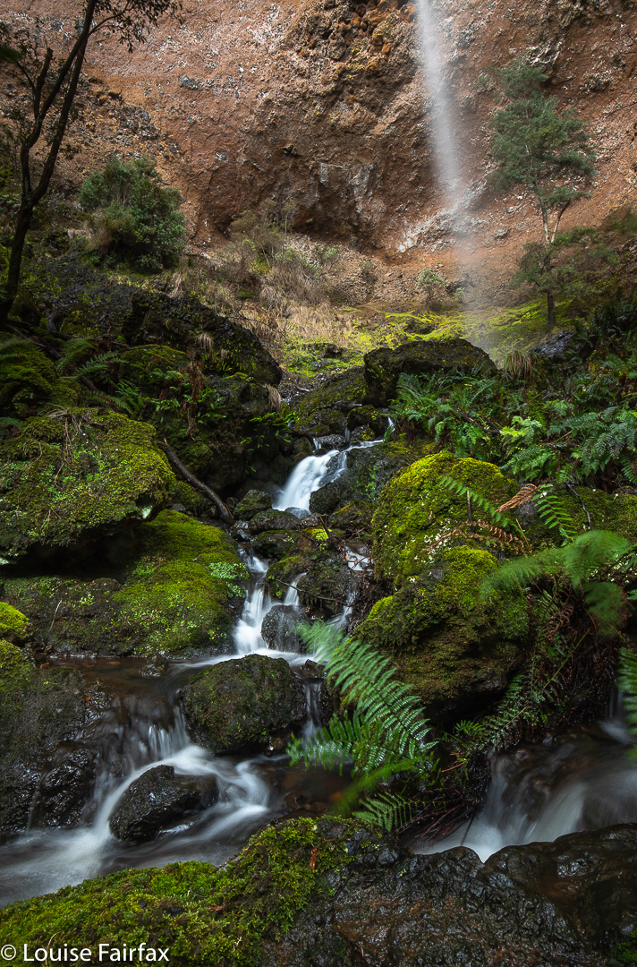
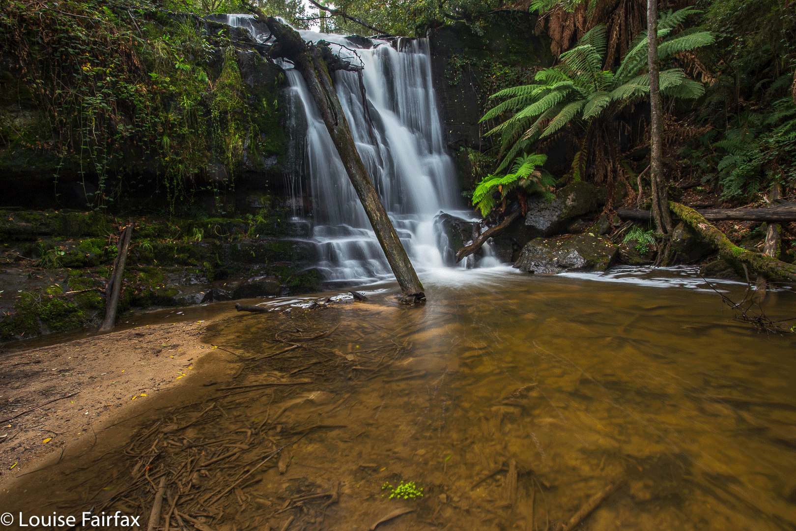
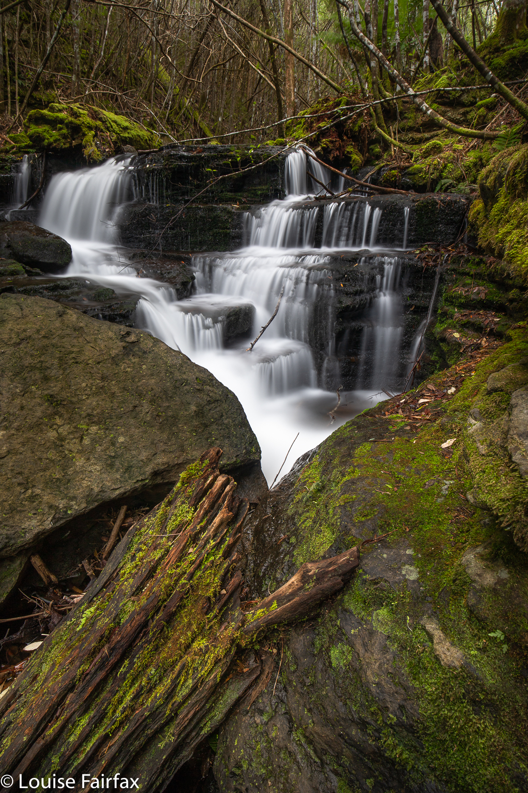
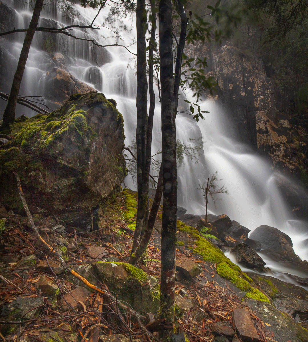
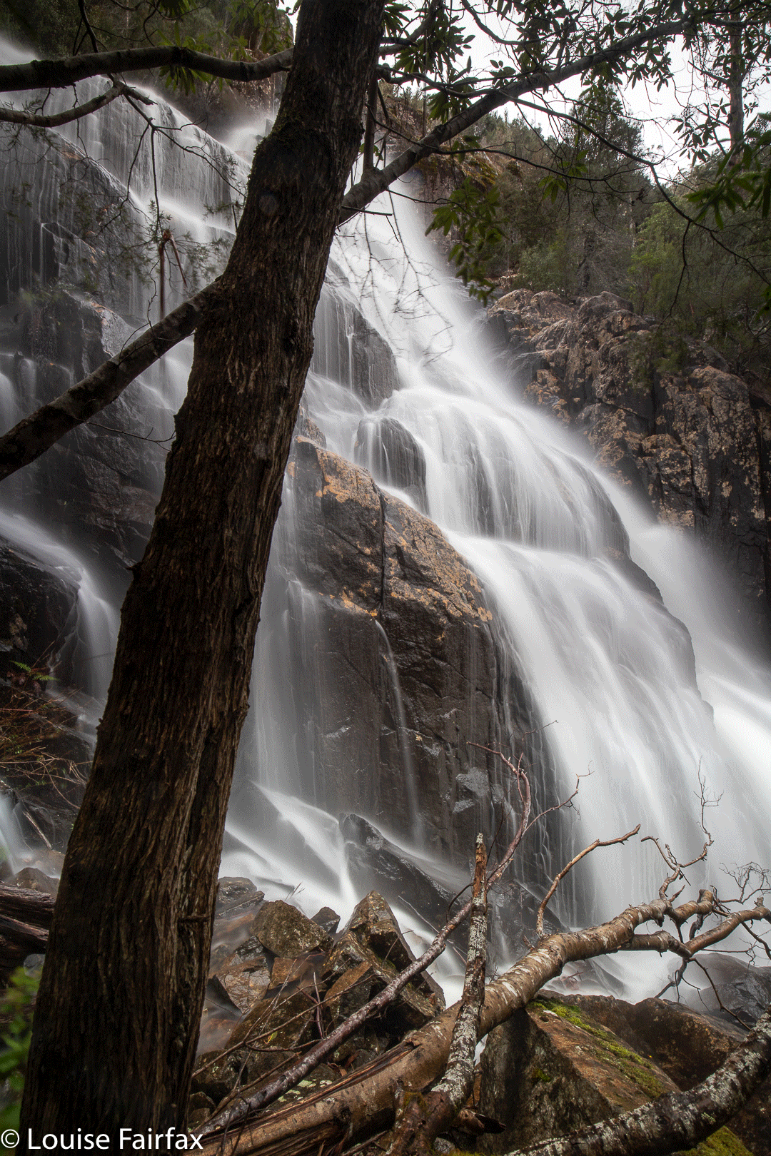
Hinman Creek Falls base. One wide-angled lens (16mm on full-frame camera) is not nearly wide enough to capture the entire falls, as you can see,

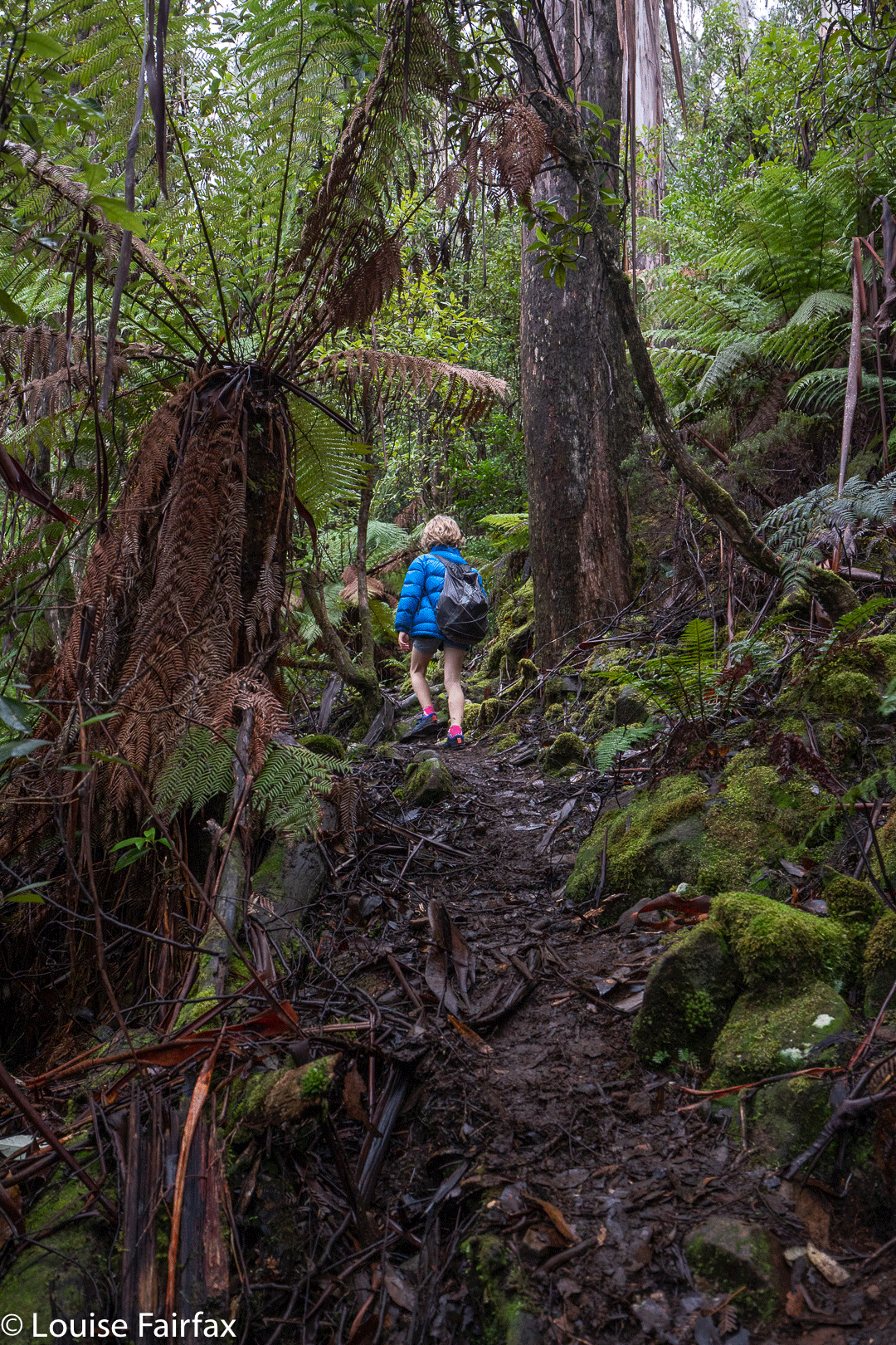
Bush rubbish was everywhere and trees crumpled in my hands. I came home with lichen in my hair and fern bits down my T-shirt. Using a line of least (but by no means no) resistance, and trying to keep clear of the mythical black line, I went mostly west until a bit steep changed to quite steep, and then picked up a water race that led me to the top of the falls (pictured above). There were endless possibilities to slip and drop 35 or more metres into oblivion. The edge is steeply sloping, and shiny slippery in many places that offer a possible view point. This is NOT an area for the inexperienced. I took a couple of shots from the top, feeling a bit nervous, and then followed the water race back SW for a long way, until my gps said I was way past the actual cliff drop off. I then descended sharply to a contour that was below the falls, and worked my way through the rubbish to its base. (None of this is private … just junky). The reward at the base was big, but I was worried about the way back, as so much of the forest had crumbled, there was fallen timber just everywhere, and I have seen too many tumbles resulting from a single crumpling of tree.

However, I need not have worried. I took a sharper route on the way back up, and it had less rubbish, so all was good. I found an old rope, but it had moss growing on it. I tested it for strength, yanking it hard, and it didn’t break, but I still didn’t want to entrust my life to an old rope, so avoided needing it and just used young trees and rocks instead. It took me 20 minutes to the top of the falls from the car, 22 more minutes to the base. Then, 18 up from base to top, and 22 from there to the car. (That split was longer, as I accidentally strayed onto private land, realised my error, so dashed south until I was over the line again). I was, as usual, starving, despite having a fulsome lunch once I got back to the car, so filled up some more at my favourite cafe in Sheffield.
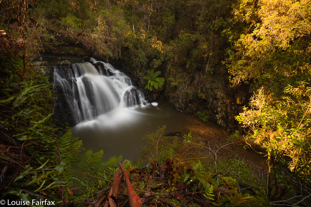
Second River Rambles (Lilydale + Merthyr) 2019

After my visit to the Lilydale Falls (on the Second River) on Sunday, I was having a written discussion with a friend who pointed out the three blue lines (i.e.,three waterfalls) on the map at Lilydale, rather than just two. He asked if I’d seen the third. I said I thought the first line was where I had photographed the children having a look at pretty cascades (hardly a waterfall), and sent him a copy; the second line would then be the lower falls, and the third, the upper. But. BUT. What if he were right, and I, wrong, and there was another waterfall higher up? What fun!! The ListMap he was using was manifestly incorrect, as it had the track on the wrong side of the river in places, and things just didn’t match. But that didn’t rule out a third waterfall. Only a visit would resolve this issue.

Second River Cascades

I decided I wanted to go there today and clear up this matter. I have now had four runs in succession since beginning back after the flu, and it would be good for me to walk instead today. Lilydale is nice and close, so I wouldn’t waste too much time. Off I set. I don’t usually track simple tourist routes on a track, but thought I would track today, just in case there was a third, and tracking would clear up the position of the others once and for all. After just a few minutes, I had crossed the bridge and reached the first falls. Oh, drat. As I thought. I was now at the middle of the three blue lines, which meant, of course, the next waterfall would be the third, and there would be no pleasant surprise hidden above it. However, I might as well climb up and see what there is to be seen: a new view, which is always pleasant. There was no sign of waterfall-like territory beyond where I went up there.
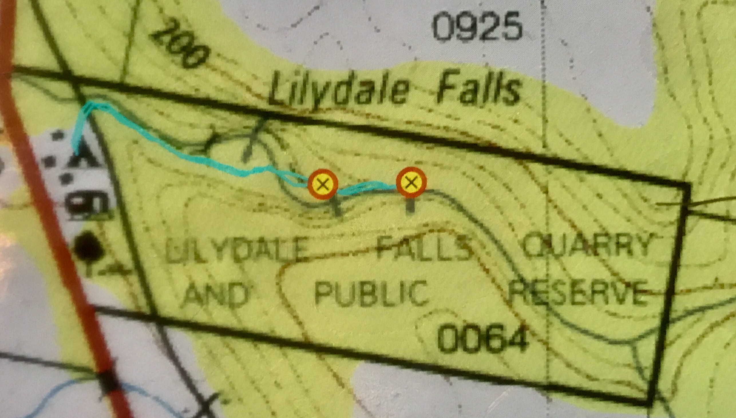
On my backtrack, I stopped at the first blue line, and photographed the pretty cascades (above), which are all of 25 cms high. The map here does not match the ground in any way, and even the position of the river is incorrect. Anyway, the mystery was now solved. (See map below).


The cyan line is where I went, and marks the actual track on the ground. The mystery third line is there under the L of Lilydale, in the “creek” that actually isn’t quite there. See how the map has the river curving away? I assure you I had one foot in the river to take the photo, which is as near to that line as I could get whilst still being in the river. Map and ground are not in sync. The bridge on the map is not there. There is a bridge not on the map shortly before the lower falls. Sometimes Tasmanian maps are an embarrassment.

I had not had nearly enough exercise, so deviated right before I got back into Lilydale, and drove the 2kms to Merthyr Reserve, which has a trail that runs kind of near the Second River’s continuation, and descends to it in places. I found this track utterly frustrating, as you can hear, but not see, the river from it. What is the point of that? I kept having to bushbash off to my right in order to see if there was anything promising “down there”. I lost count of the number of attempts to find something worth photographing, but at last, on my way back, found the little cascade of the photo, which I have imaginatively named Merthyr Cascades.

Merthyr Cascades

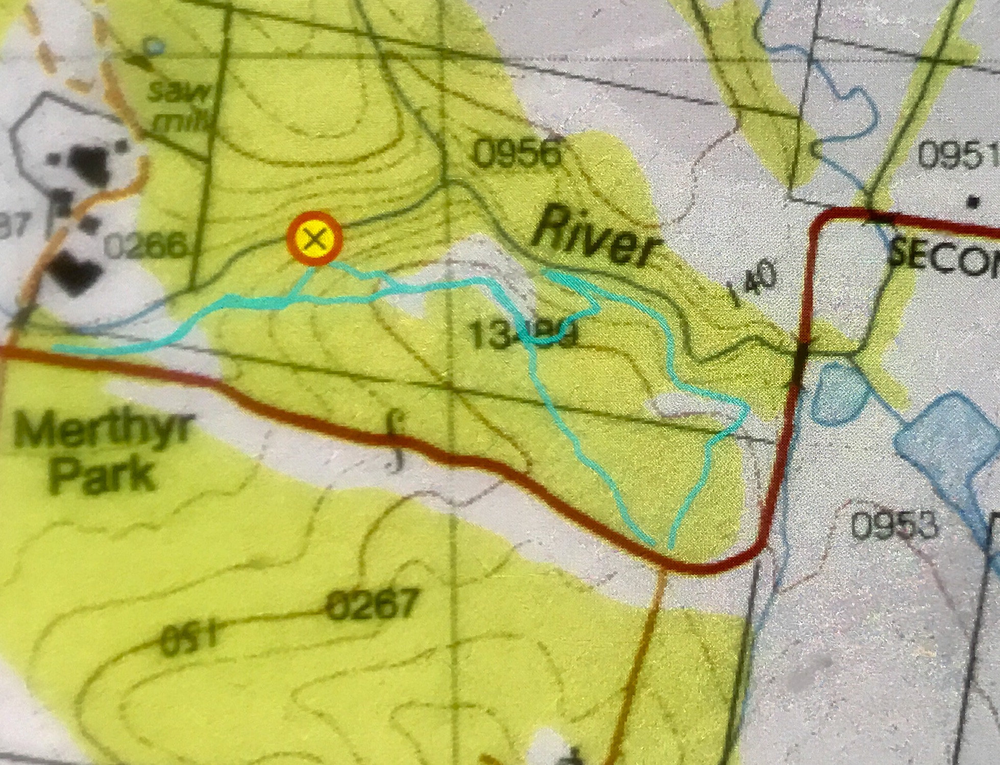
It, like many others, was a bushbash, but if you read my map below and go to that place (which I have marked with a waypoint), you too will find the nearest thing I found to a waterfall in this reserve. The forest here is dry sclerophyll, which is not my favourite forest, but at least it provided forty minutes’ exercise by the time I’d walked the small and large loops and gone up and down the contours in search of cascades. Pink heath plants were in flower, which gave the forest some colour. It could be a nice reserve if the trail went somewhere near the water. There might even be nice swimming holes in summer.

Merthyr Reserve walking trail.

Lilydale Falls 2019

It was Adventure Day, so today I decided Lilydale Falls would be a great place to take the kids. I think when planning an adventure for children, the length of the car trip (boring by its very nature) is more important than the length of the walk. Lilydale is a small driving commitment from Launceston, so was ideal for my purposes.

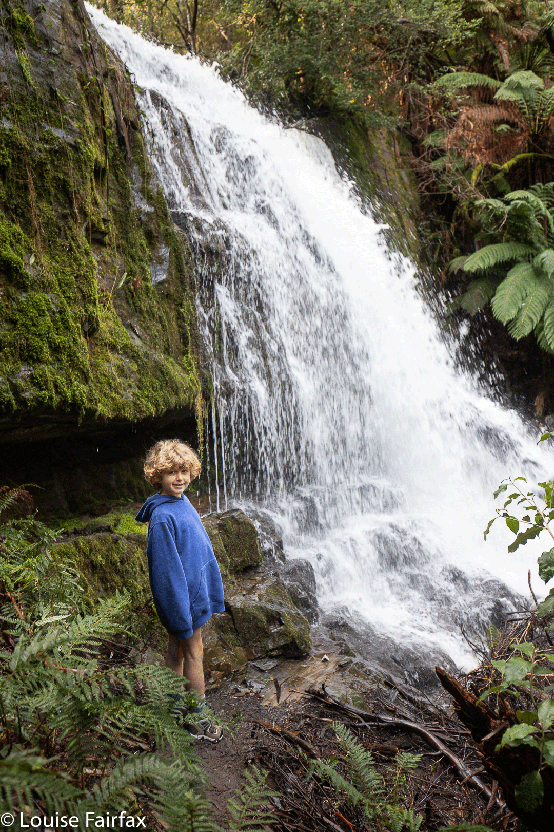
Lilydale Falls Gussy Abby

The car trip was quickly dispensed with, which meant the real adventure could begin. Gussy was wearing his brand new REAL he-man hiking boots which I had bought on the way, and was keen to test out their resilience against creek intrusion and puddle interference.

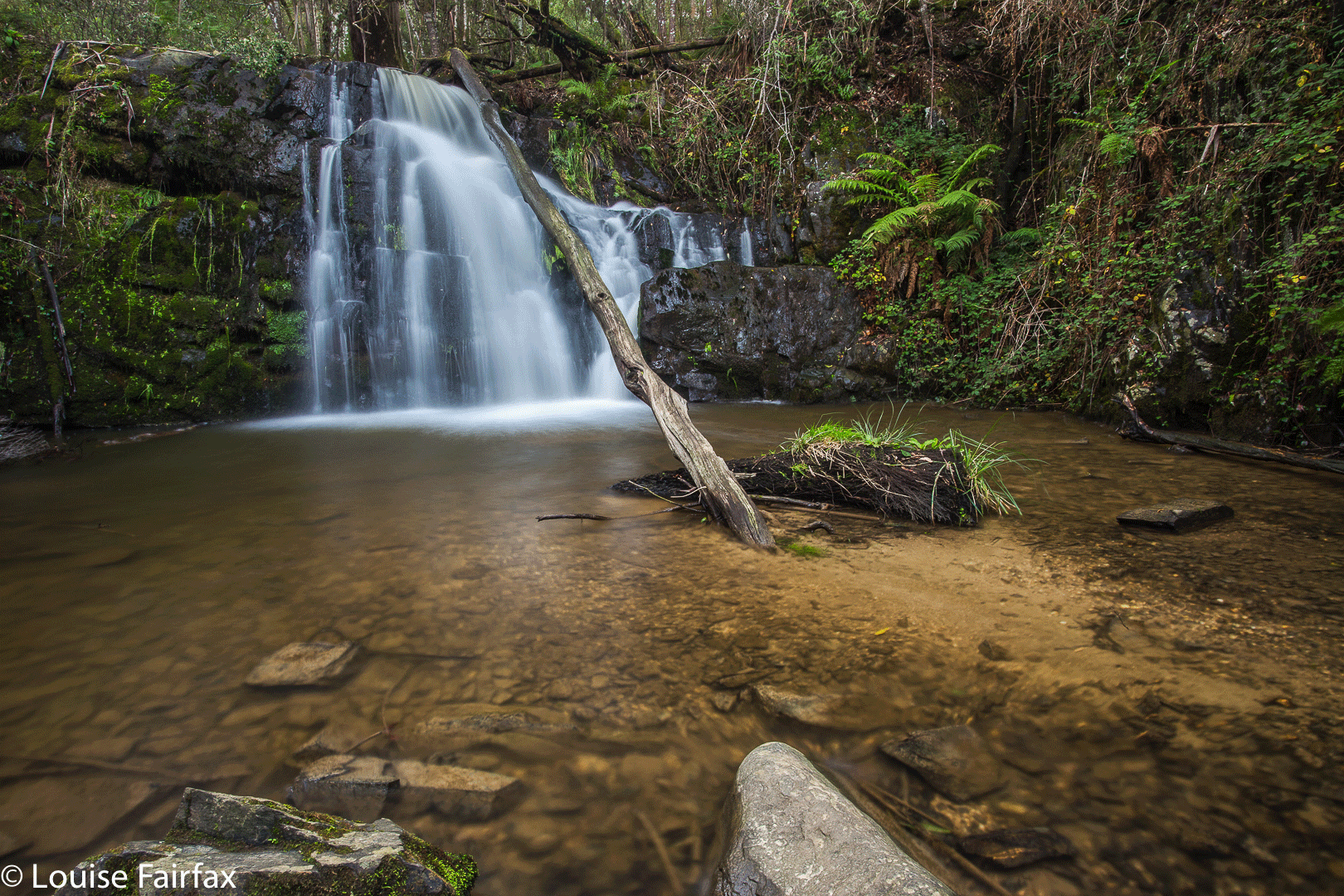
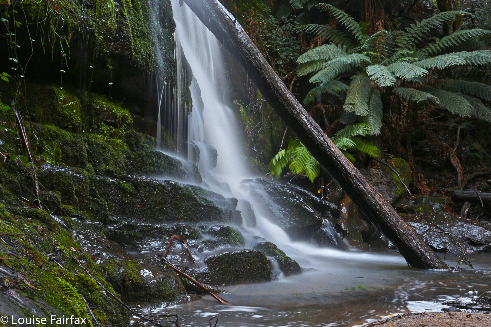
Lower Lilydale Falls

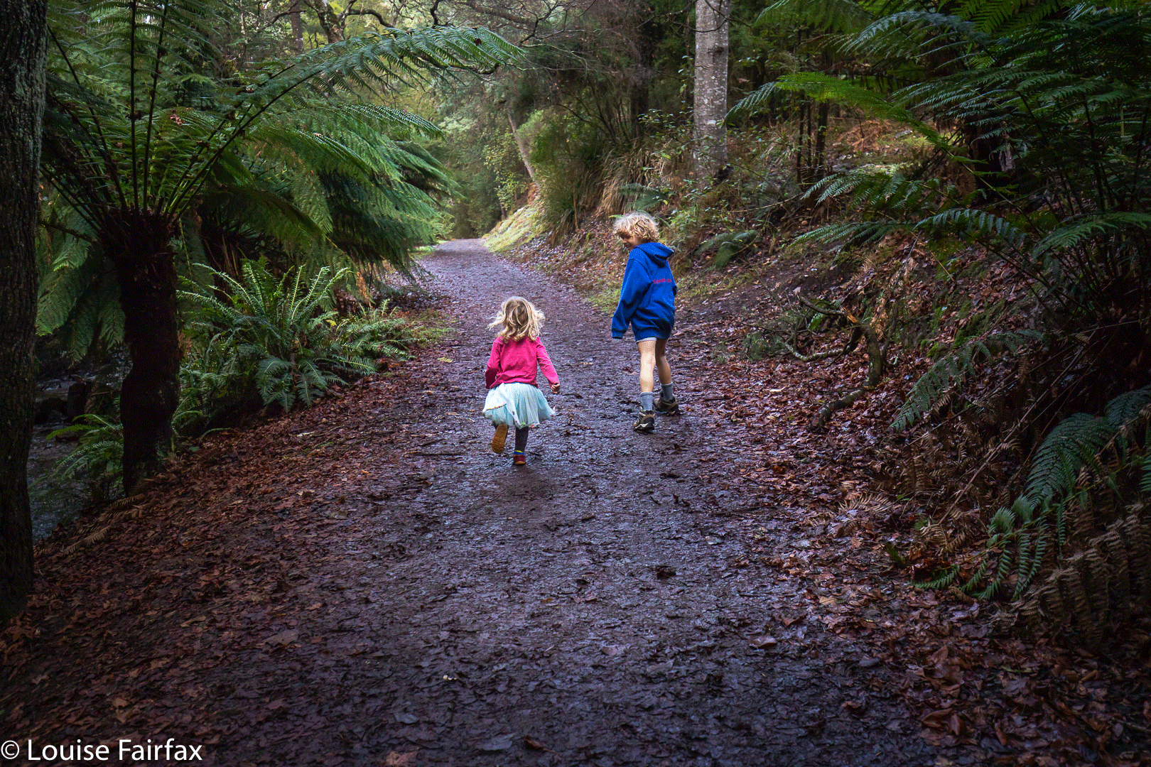
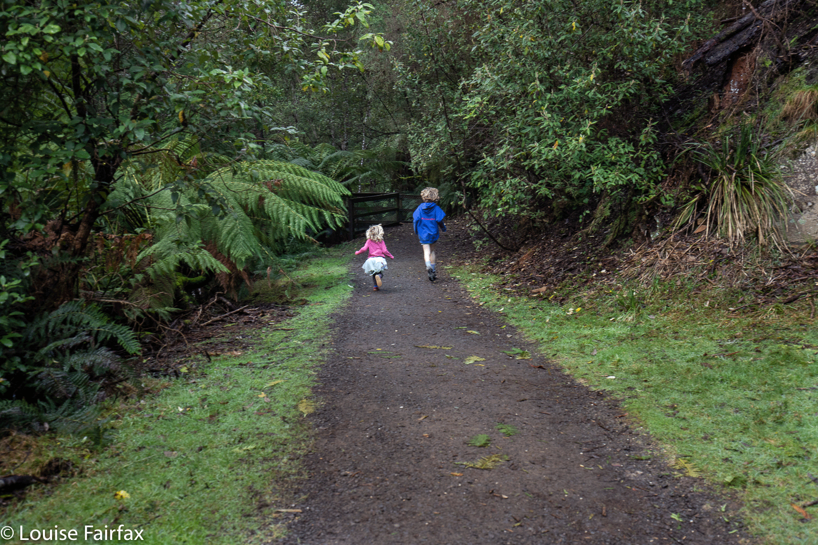
I was keen to see if they were too heavy for him to break into a run, as these two prefer to run than walk when on a track. As the pictures indicate, they did the trick. They are Hi-Tec light weight kids’  boots from MacPac if you’re a parent and interested. (No one is paying me to say that, or giving me any perks). I was stunned that Paddy Pallin’s “commitment” to children’s walking was so negligible that they sell neither kids’ backpacks nor boots. Kids need equipment suitable to their size if they’re to grow up enjoying this leisure activity.

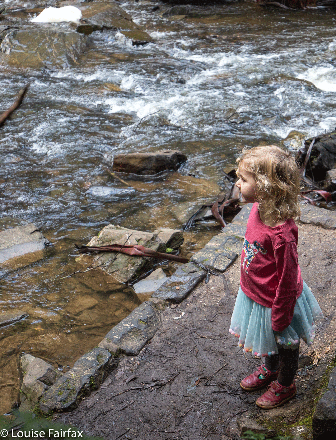
Gazing in wonder
togetherness

Please excuse Abby’s choice of bushwalking clothes. Fairy skirts are the very last thing I would choose, but it is important to pick one’s battles, and this is not one worth disputing. Certainly, in this forest we searched for fairies and goblins, as the lush greenery begged their presence. Unfortunately, the fungi count was utterly minimal. (See my 2015 blog on Lilydale if you want to see that the area can have lovely fungi).

Lilydale Falls Lower
Lilydale Falls. The excitement of children

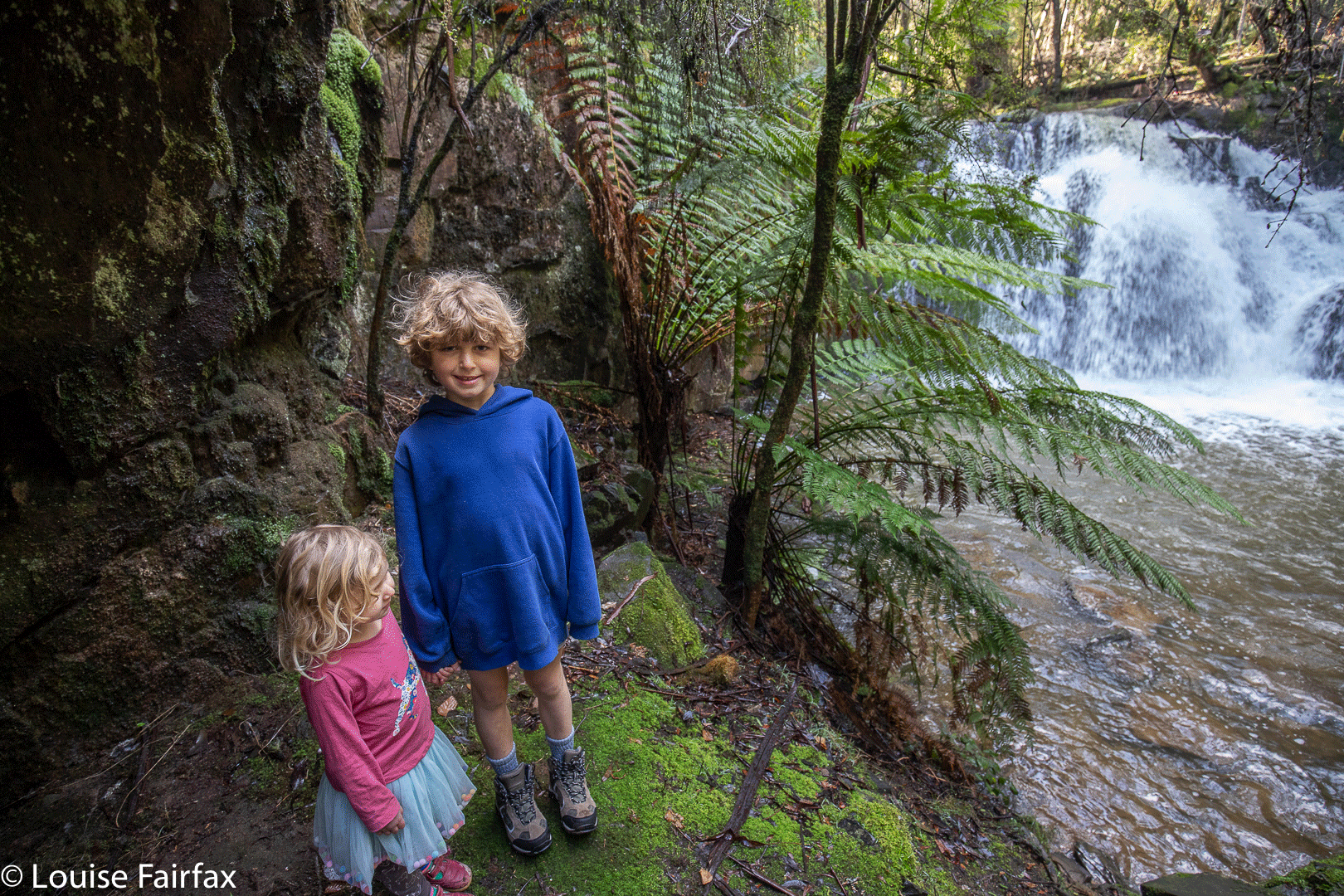
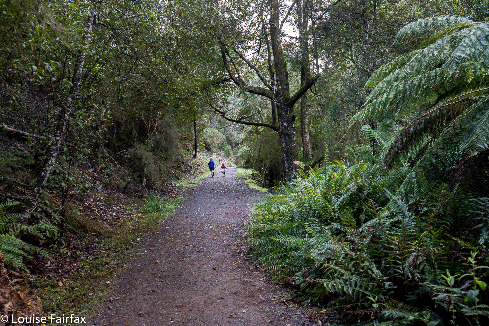
As the pictures indicate, the children ran the whole way there and back – minus the wooden part with a sign that warns the wood is slippery. Gussy (7) walked quietly there, and Abby (3) even consented to hold my hand. It was a perfect outing, and we were home in time for lunch.

Hobart Rivulet

After the previous day’s successful adventuring, Gussy and I (despite the sad reduction in the number of garlic chick peas left in the packet) decided to go and explore the Hobart Rivulet on Mt Wellington and follow the watercourse along in search of some waterfalls I hadn’t yet visited.

Champers Falls

For a seven year old, this is very hard work, and I was so proud to hear Gussy breathing very deeply and making noises of exertion as he hauled himself up various almost vertical slopes. Like me, he loved the ducking under, climbing over, and skirting around of obstacles that went on. On our way back, he asked if he could lead, and did a great job.

Disappearing Falls

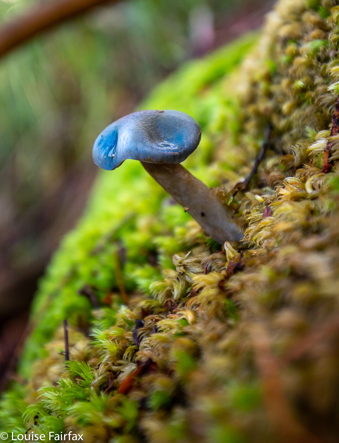
We found some falls, and some beautiful spots where the river gurgled in a picturesque way over rocks in a ferny glade. Best of all, Gussy found a great burnt-red, sandpapery-textured gilled fungus, which he wanted me to photograph. Sadly, I said I would do so on the way back, assuming we would retrace our steps pretty exactly, but, alas, we didn’t quite, so didn’t get the shot he wanted. I’m annoyed with myself, as I don’t have any images of this specimen, but I thought I did. The russet cap was 4-5 kms in diameter. The nearest I can see in the web is Gymnopilus moabus. Gussy is convinced we can get it next time, but I rather think it will be dead by then. Hopefully it has friends or relatives to continue the line. Meanwhile, we did photograph a beautiful metallic blue Cortinarius.

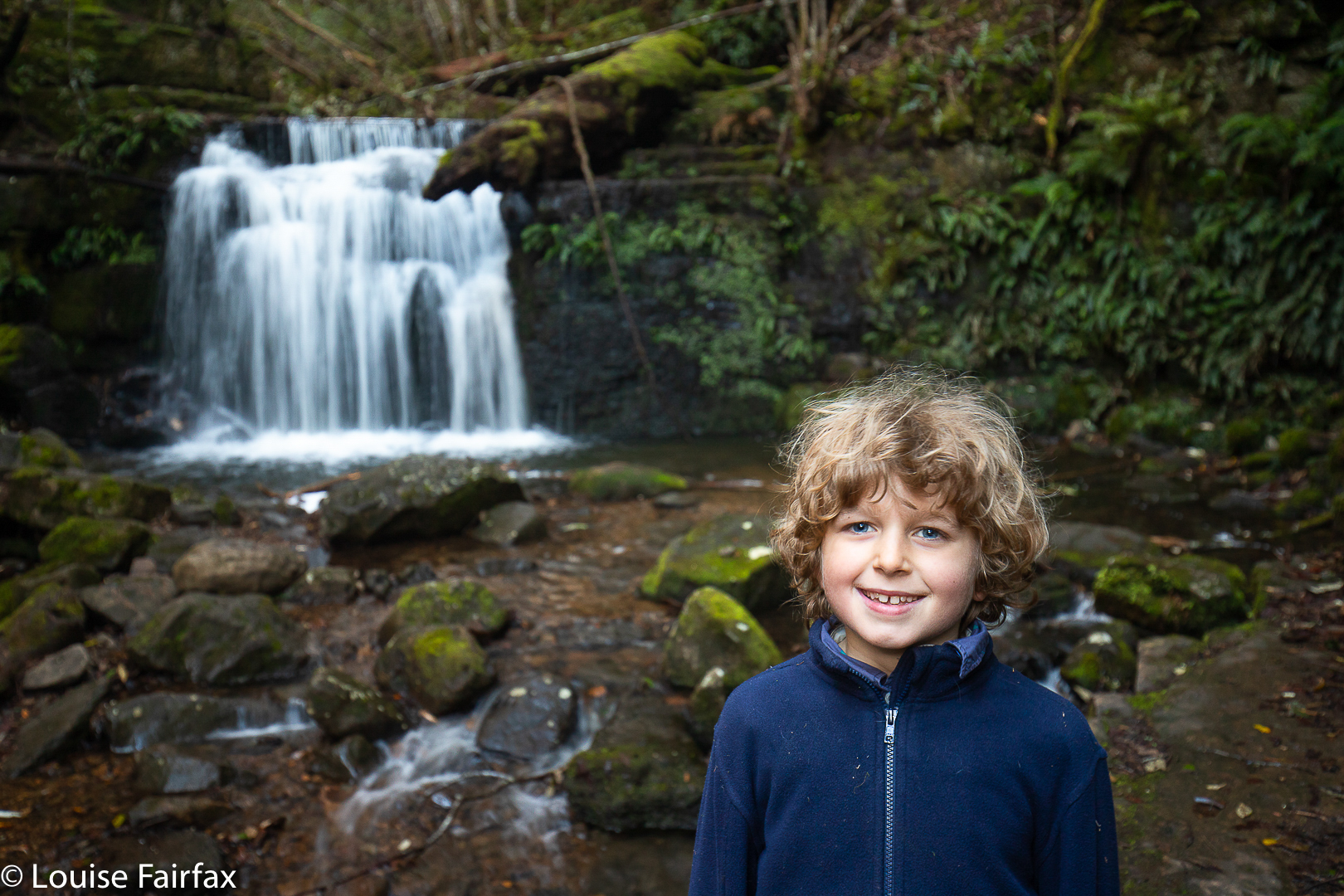
Happy little waterfall bagger at Strickland Falls

Next day, I went back while he was at school and got better photos of some of the falls, and added Betts Vale Falls to the collection (on roughly the same contour as O’Gradys, next tributary to the east, at the track-creek intersection). We have now photographed five waterfalls on the Hobart Rivulet. I have no idea how many more possibilities there are. Thanks to Peter Podolak for his instructions in locating two new ones I have just called Hobart Rivulet Falls A and B. HIs names are Champers Falls and Disappearing Falls. (He did call Champers Champagne, but I pointed out that that particular name was already taken, so he agreed to change it to Champers to avoid confusion – just names so we can all refer to things and each know what we are talking about – nothing official, of course). They are between Strickland and O’Gradys if you follow the watercourse up.

Cortinarius sp
Betts Vale Falls

(Pity about the rubbish obscuring this otherwise lovely waterfall.)

Billy Browns Falls 2019

An “expedition” to Billy Browns Falls (near Judbury) might not seem a big deal if you are an adult, but Gussy (aged seven) and I were excited: it was our first adventure for just the two of us since January. This would only be the second waterfall Gussy has ever bagged. It was going to be a big day.

I was rather worried about the road in – instructions were not clear as to whether I could get my Subaru Forester (AWD, not 4WD) up the relatively unkempt road to the start. I showed him the map before we left and said I might have to park at the bridge, but, if we were lucky, we could get all the way up here, and I showed him. He was fine with that. (He’s  very fit for his age).

Sure enough, after the bridge, the road became full of puddles of unknown depth, and rocks that I had to swerve around, just in case our underbelly was not high enough. Gussy loved all the swerving and bouncing, and soon enough we were ready to begin the easy bit: the part on two legs. The day looked uncertain, so, although the walk was only a few kilometres, we took our rain gear in our backpacks.

There was a blue sign where we parked our car to indicate that off in the scrub lay a path to the falls. The sign said 1.5 hours’ return, so we decided we’d time ourselves to see how near to the expected forty-five minutes our outward journey would take. We were at the top of the big hill one has to go over before descending to the falls in fifteen minutes. Another seventeen took us to the base of the falls. (33 minutes’ total when one adds in the seconds.) We had loved the shady, mossy forest, and had seen a few fungi on the way we thought we’d photograph on the rebound, but on the outward journey, we were intent on the falls themselves.

Once there, Gussy enjoyed the chickpea and chocolate almond snacks I’d brought, while I did my photographing. It was hard, actually, as there was so much water coming down that the spray and wind resulting were huge, and it was challenging to find an angle that would allow me to keep my lens dry.

On the way back, Gussy was a boy with a purpose, intent on beating the clock.  He’d been thrilled with the outward time, but wanted to improve it. We rose to the top of the very steep hill in just under 14 minutes, and were down the bottom in under 10. All up, the walking section took us 57 minutes’ return. As I said, Gussy is a very fit seven year old.

We bounced our way back to the bridge, where we took a brief break to play Pooh sticks, and then we were on our way to enjoy a special cafe lunch at Huonville.


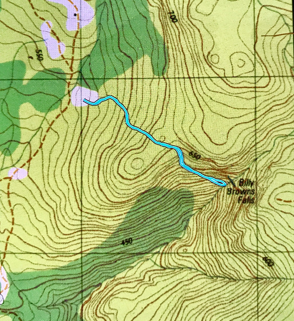
The blue line begins where the car was parked – which means the road is not quite accurate on the map.
To get to the start, take the Judd Creek Road north out of Judbury, and keep going until the blue sign is reached. You will cross the creek twice. After the first bridge is crossed, the road deteriorates markedly, and continues thus until your goal, maybe 2 kms more (sorry, didn’t measure – too busy negotiating lumps and bumps).