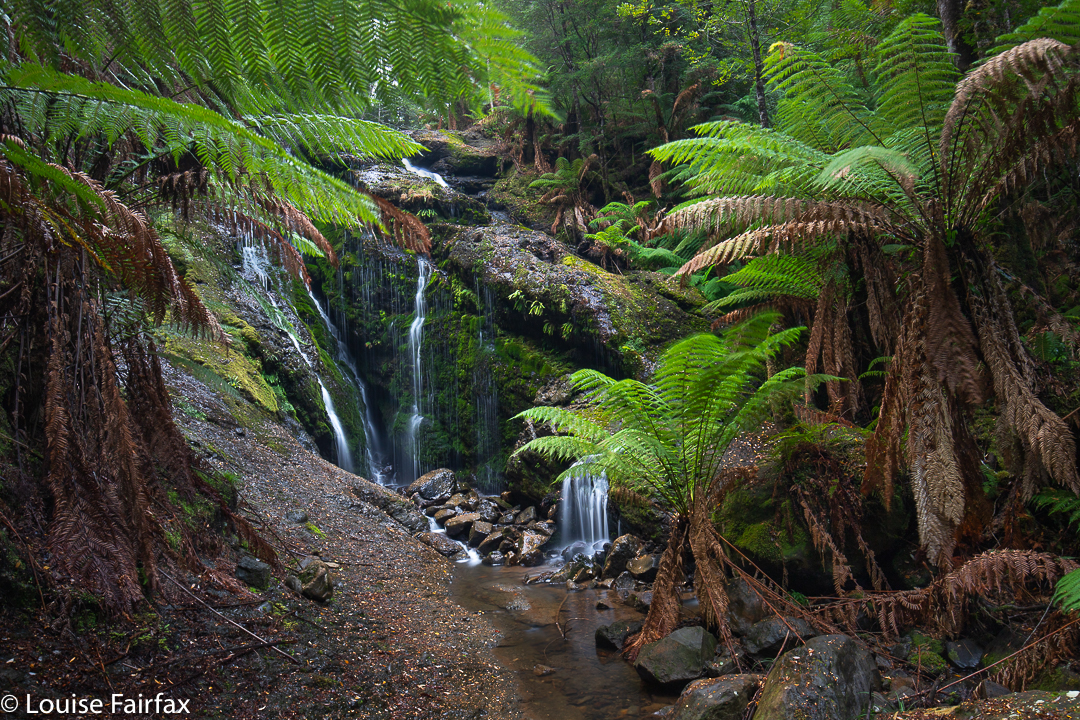
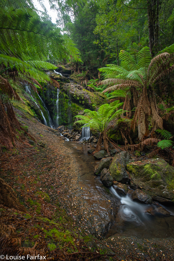
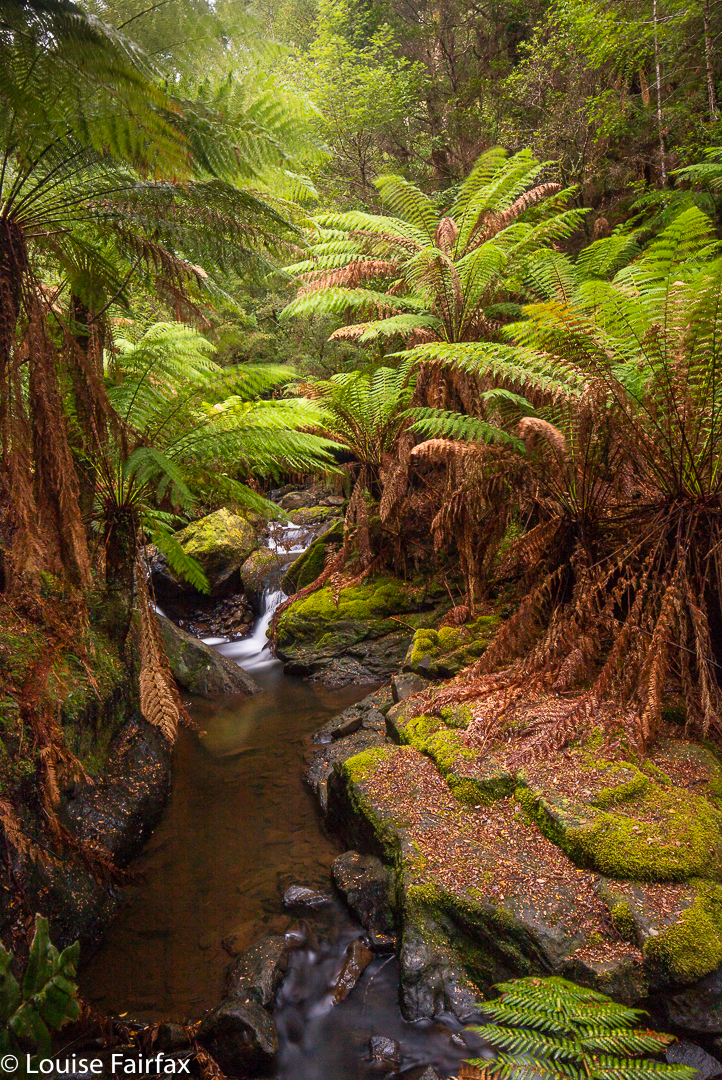
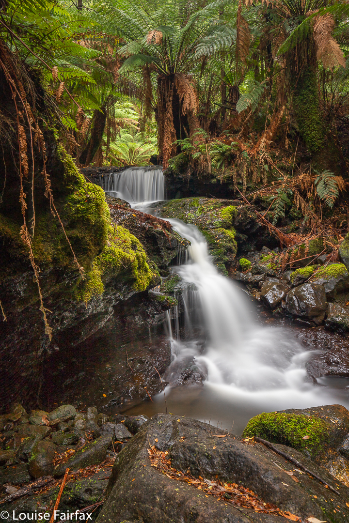
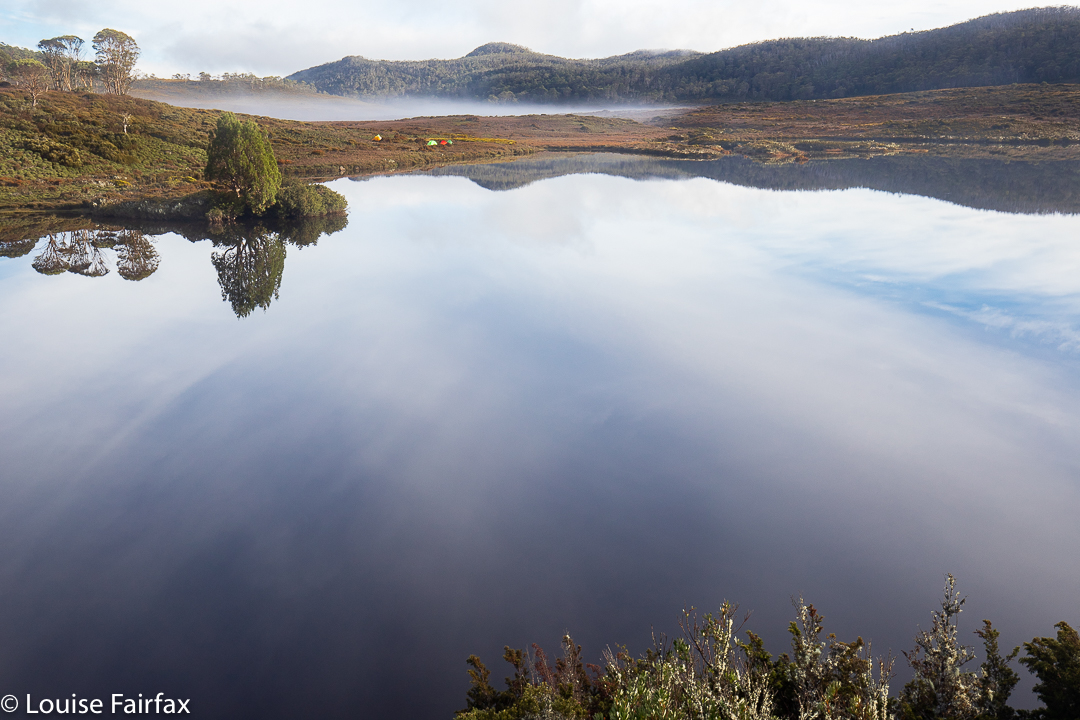
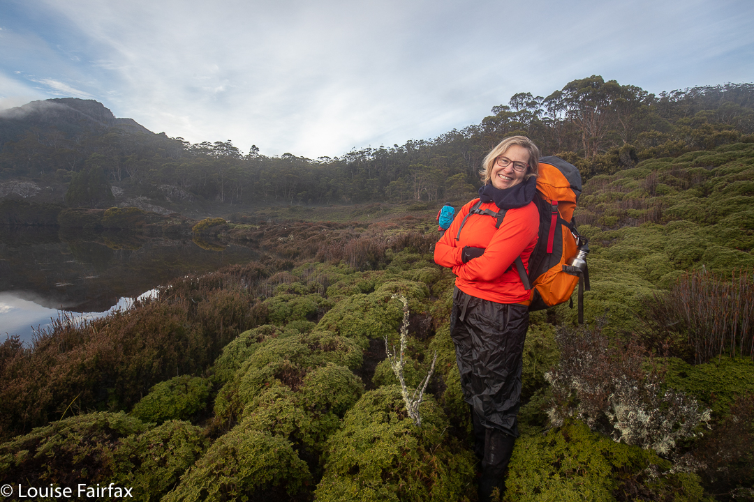
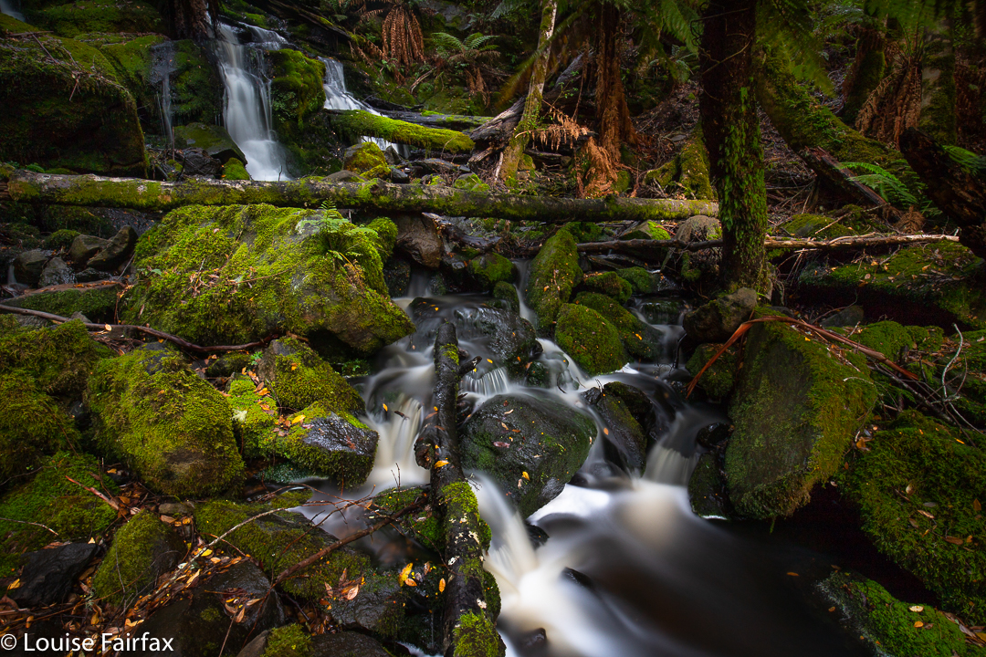
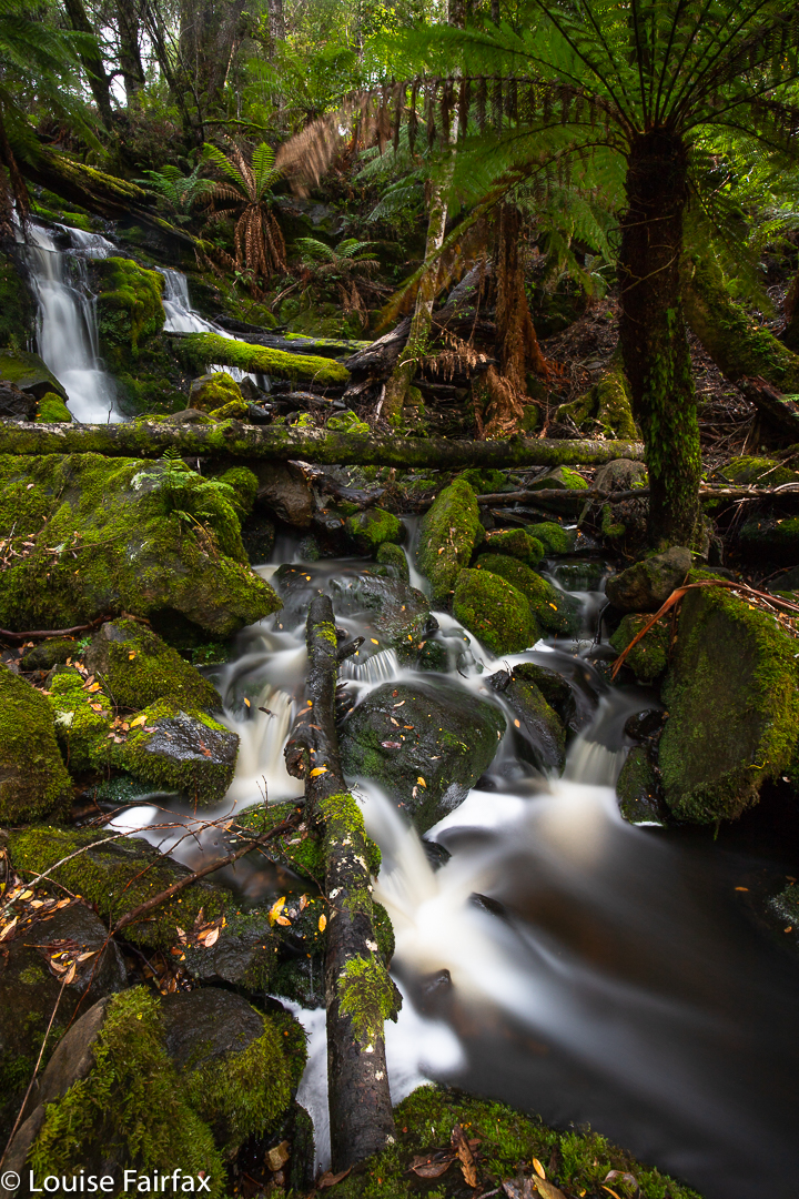
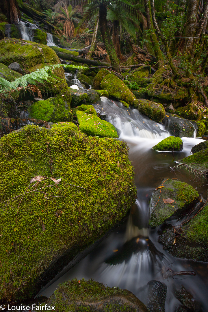
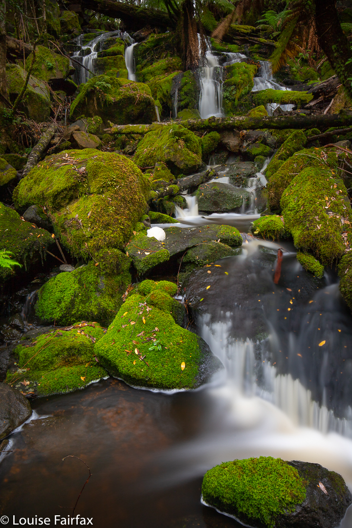
The purpose of this, my second trip to the Hellyer Gorge, was to add to my collection of waterfalls along the Hellyer Tributary, …. and, well, let’s face it, to revisit Hellyer Heaven – for that it is. This area is oozing green lushness in a prolific way. It feels as if you can see the tiny mycena and marasmius fungi growing as you watch, spreading sidewards as they multiply like flowing water. It was terribly hard to tread anywhere, as everywhere seemed to contain dozens of fungi. As it was, I kept apologising to moss and lichen if I thought I’d squashed them. I hate disturbing a single piece. Stephen, who had said he’d like to accompany me, must surely have thought me mad. Who apologises to plants? Me.
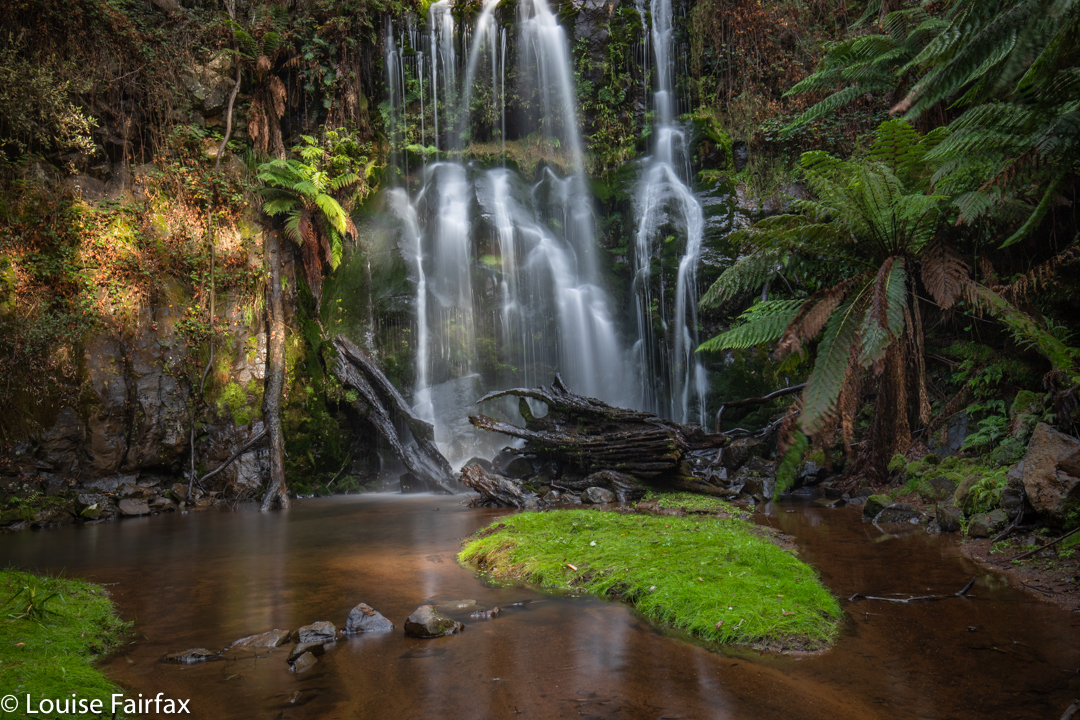
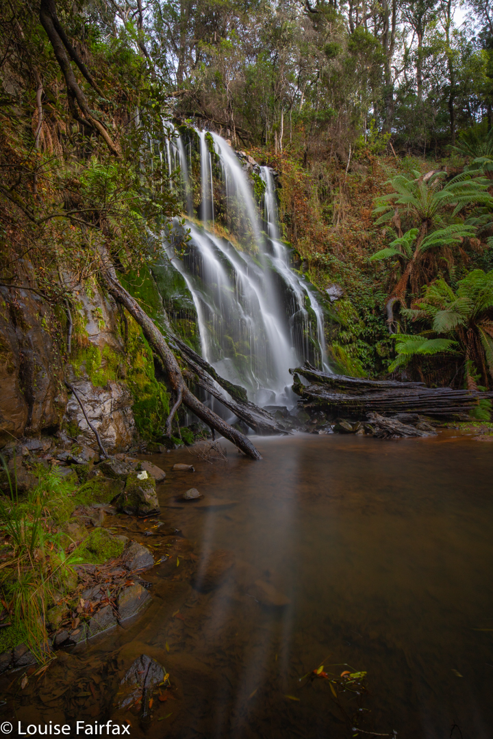
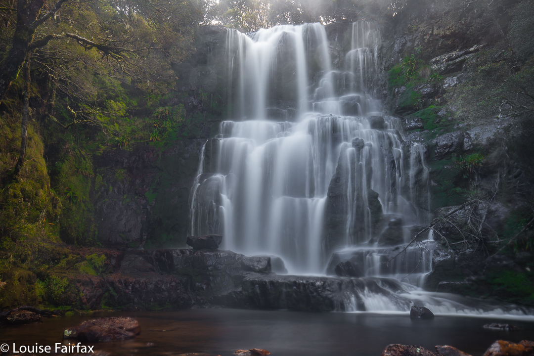
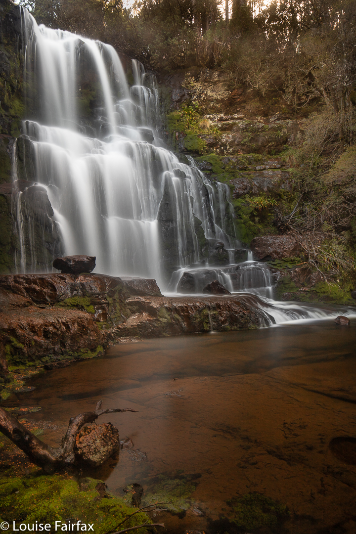
Hellyer Amphitheatre Falls (= Hellyer Tributary Falls C)
Where are my fungi photos? I didn’t take one!!! Time was limited, and I knew if I began lying on the wet ground to start photographing, I wouldn’t stop, and I would not see my waterfalls. (Even so – that is, even without lying on the ground to get fungi in focus – I felt nasty wet squelches whilst driving home, and had to stop now and then to remove a leech a toss it out the car window. Next morning, I found a desiccated one on my duvet cover!). The fungi are there in my mind, crowding the ground with their sweetness, causing my mind to be several steps behind my feet as it lingered longer than my body did in any one spot.
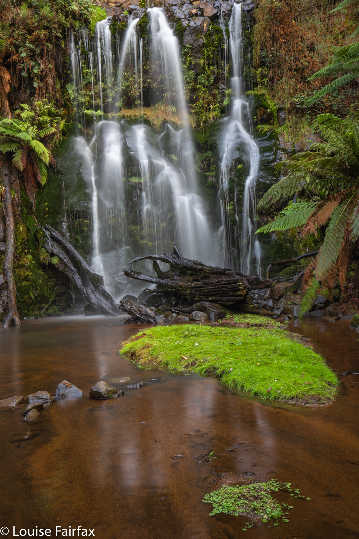
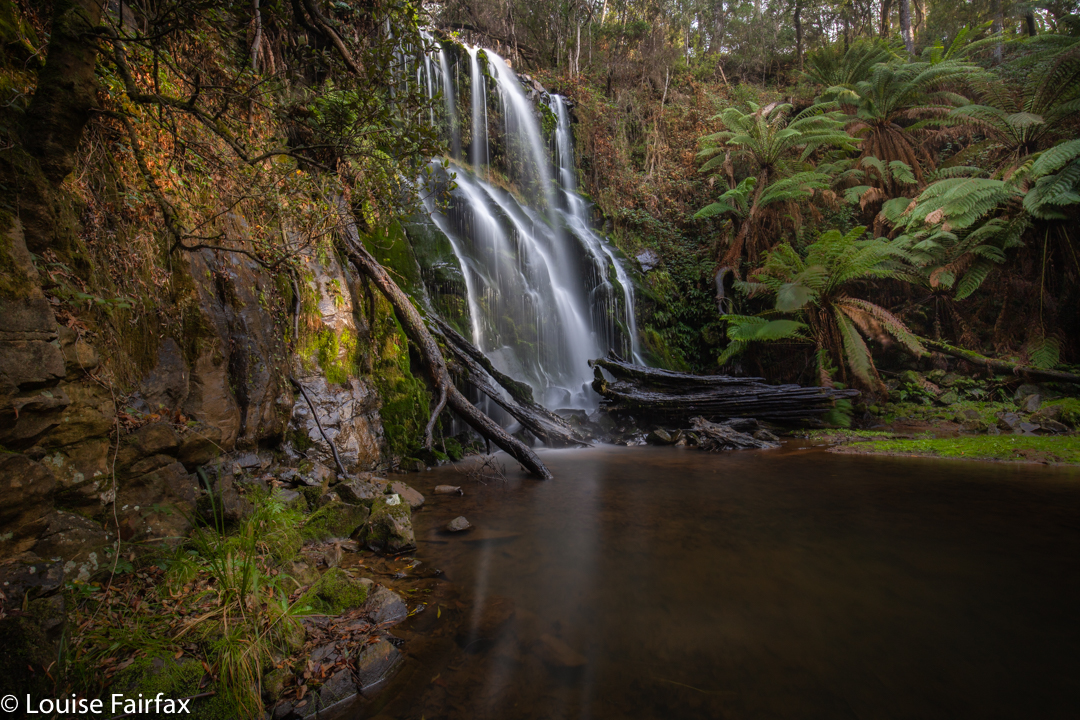
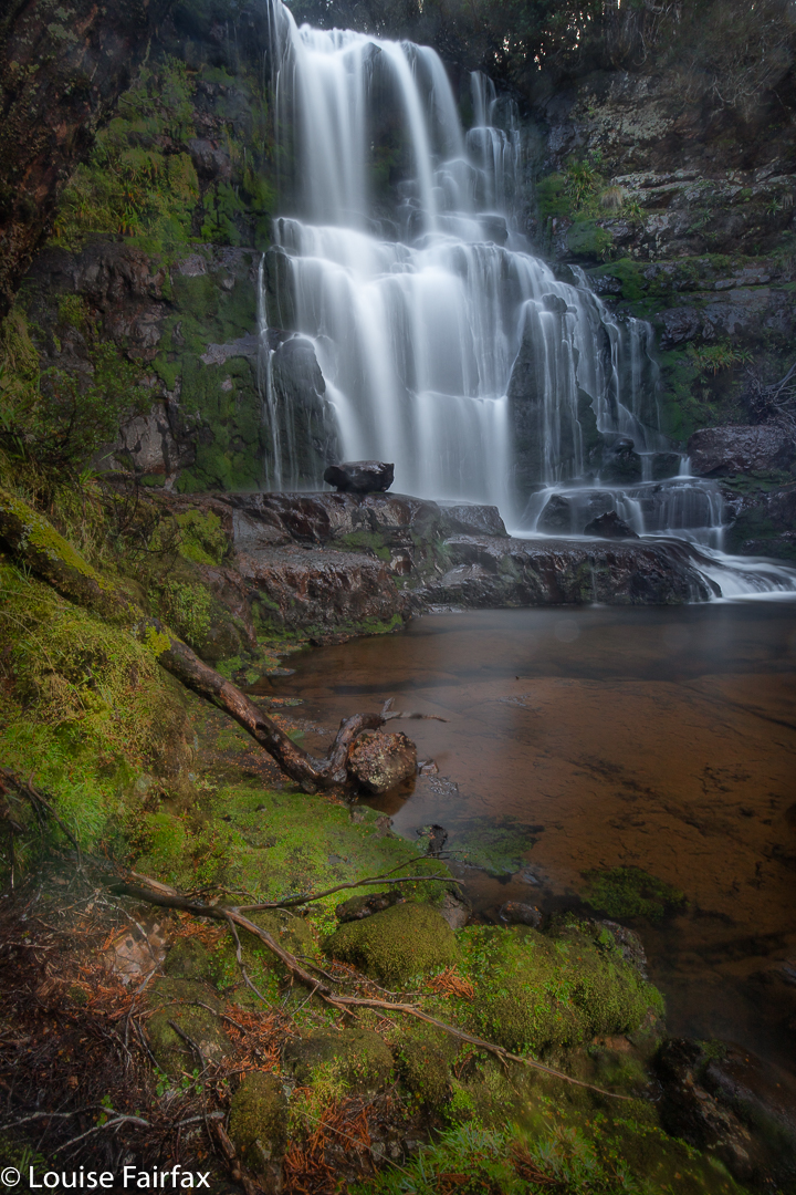
Hellyer Tributary Falls D and E
On on. This time, rather than following the river, I climbed almost to the top of the northern hill, and then dropped down east to here I had waymarked the presence of “Falls A”. It was very exciting to hear the waterfall, and then see its white splash through the trees. Bingo.
As I drew level with the first attractive fall, my attention was diverted by a huge drop lower down. Perhaps a little impetuously, I rushed to see what was hidden by that manifest disappearance of land into a huge space (thus completely ignoring a very beautiful waterfall). I followed the bank along and down, dropping steeply and markedly to the base of the mossy amphitheatre. I was like a Hamlin rat, mesmerised by the cozening tune of the Pied Piper, and dreamlike, didn’t stop until I had reached the marvellous base. Had I ever seen so much moss in one spot before? Top waterfall forgotten, I dug out my camera, tripod and filters from my bag, and began interacting creatively with the beautiful scene in my gaze.
Hellyer Tributary Falls D and E
This was an area that compelled me to sing. I sat and sang and photographed and was completely fulfilled. Tessa sat beside me and planted little kisses on my neck. She likes me singing. Stephen joined us, made his own shots, and on we moved to the next falls I could find, which possibly made better photos, but did not move me as much as the mossy amphitheatre.
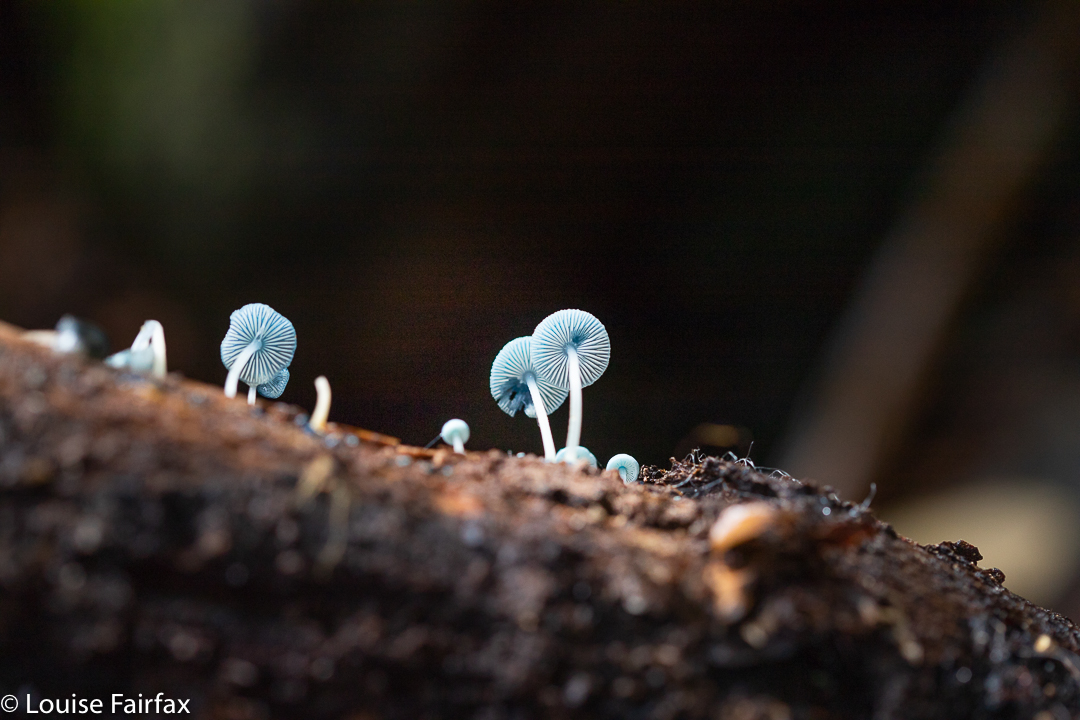
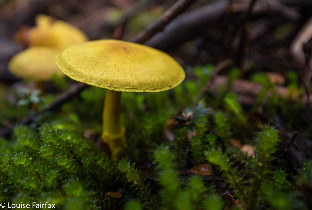
Mycena interrupta (from first visit)
Unfortunately, we overstayed our welcome here a little, and I missed my coffee treat at the conservatory outside LaTrobe that I had been looking forward to. Oh well. Next time. I have to go back yet again to photograph the waterfall I ignored as I rushed down to see what lay at the other end of that massive drop. It’s good to have an excuse to return.
When a waterfall has three used names – here, Garners Creek Falls, Preolenna Falls and Coal Mine Falls – there is bound to be confusion. The whole purpose of language is to enable us to talk about the same thing, but with this waterfall, we can have enormous misunderstanding – a veritable Tower of Babel. We think we haven’t been there, when we have, or we think we have three to go to, but only, in fact, have one. Or worse, if you told your friends you’d meet them for a picnic at Coalmine Falls, they could be waiting for you in a different part of the state.
Garners Creek Falls, Preolenna Falls, Coal Mine Falls
So, three names, but you only get credit for one waterfall. But which name should you use? The road you attack the falls from is Coal Mine Road. But there are also Coalmine Falls at Liffey, next to Bob Brown’s Oura Oura, so we don’t want two. Preolenna is such a pretty name, I love it, (it refers to the nearest hamlet, which is not far away) but I have the feeling that most people nowadays call it Garners Creek Falls, which is highly unimaginative, but does tell everyone exactly which creek it is located on. The real problem, of course, is that the map doesn’t acknowledge that this beautiful tumble of water exists, so you won’t find a helpful little blue strip across the creek. Hopefully, my map below will help out.
Garners Creek Falls, Preolenna Falls, Coal Mine Falls
The immediate area of the falls is delightful. However, the drive in is not so, as you pass a large amount of plantation forest, some of which has been felled, some not, but it is hardly enticing, and you begin to believe that nothing pretty could lie in a place like this. (It is also pretty crammed with blackberry bushes leaping out to catch you). However, as I said last blog, I would much prefer to look at new growth forest, with skinny trees serried closely in neat rows than at factories belching smoke, so it is certainly the lesser of two evils. And, there is some lovely pastoral land before you hit the forest.
Garners Creek Falls, Preolenna Falls, Coal Mine Falls
Also, be warned: the slide to the base from above is very steep and slippery. I wouldn’t dream of doing it in anything other than bushwalking boots. Even my boots slid. However, as the photos indicate, the rewards at the base are wonderful, and a surprise gem awaits you if you hack the drive.
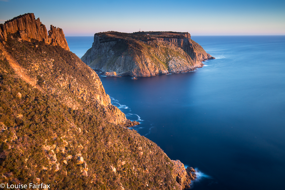
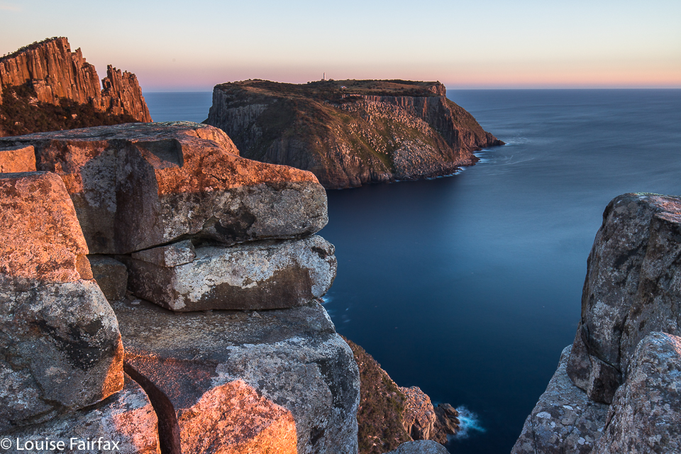
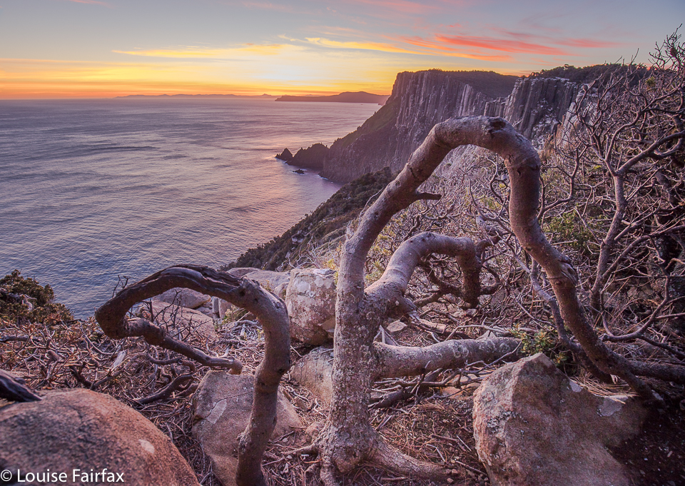
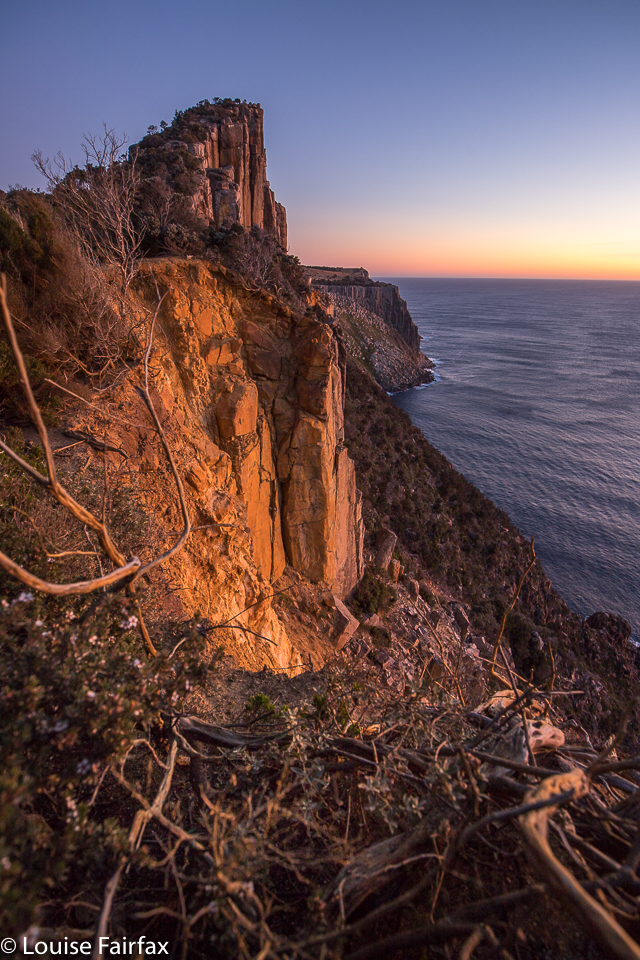
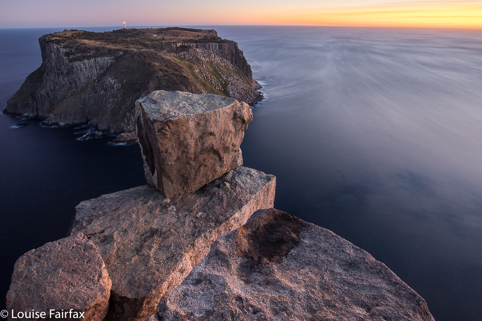
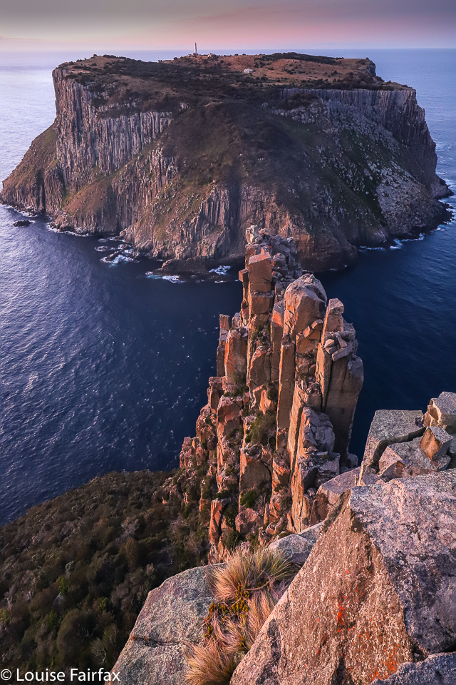
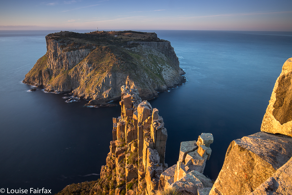
For as long as I can remember (but at least since 2011), I have wanted to sleep at Cape Pillar, to photograph sunset and sunrise there, and to climb The Blade, whose very name reeks of drama and consequence. At last, on the weekend just gone by, I had my chance. Tessa could be minded for a day and a half in Hobart. The weather looked reasonable. I could go.
sunset Cape PillarCape Pillar
I drove down, delighting in the countryside of that part of our state, bought myself a salad roll in Dunally, and was soon enough in the carpark poking stuff haphazardly into my pack. This was a last minute outing, and I had no idea how many things I had forgotten. Surely, whatever they were (as long as the list did not include anything to do with photography), I could live without it for twenty eight hours.
The Blade
I met two guys in the carpark before I’d begun packing, but passed them after an hour, and from then on had no one I knew of ahead of me. After exactly two hours’ walking, I had reached the Munro Hut, and stopped there for a hearty drink and some food. My pace had been good to this point, but I was now about to fill up my bottles with water to fund the next few meals. From here on, I was a slow old cart horse, lugging not only overnight equipment and masses of weighty photographic gear, but also heavy water. I couldn’t believe the difference a few extra kilos made to my pace. Suddenly everything hurt. I took a lot more breaks, albeit it tiny ones, just to rest my shoulders and back for a minute or two before the next stint. I think it was 1 hr 36 mins’ walking from the hut before I reached the base of The Blade. Hoorah.
Here I could dump my pack in the shade before exploring further, light and free. I climbed the Blade and Cape Pillar, enjoying the views and pondering where to take my later shots. I climbed the Blade two more times for the heck of it (and to check on details of angle, sun, what I was game to climb, etc). I then climbed it again at sunset, and again in the middle the night by moonlight. (And yes, again at dawn. I am now well acquainted with The Blade.) My gps said I covered 22 km equivalents that day.
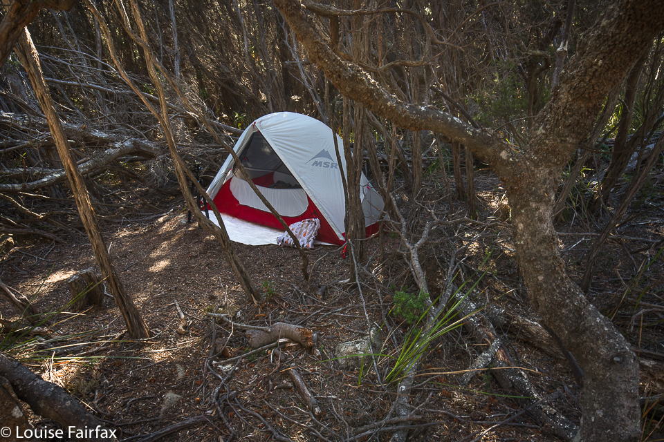
tent
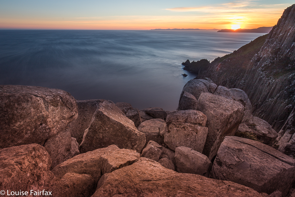
I had arrived shortly after 2 pm, so that gave me time, not only for the above exploration, but also for a well-earned lie down, back in the shade in my trusty tent, hidden by bushes and listening to birds and feeling the space around me. That was a lovely time. Sunset was quite busy, as I used three different locations, separated from each other by ten minutes’ walking, trying to catch rays on rocks before they hid behind the mountain’s shadow.
Cape Pillar
After an excellent sleep (punctuated, however, by my rude alarm waking me at 1 a.m. to climb and do a spot of astro photography), I woke to the alarm again, in the dark again, to get into position for sunrise. Both sunset and sunrise (and 1 a.m. astro) were compromised somewhat by clouds on the horizon, stealing some colour at the important angles, but I still had a lovely time perched up there on my pinhead, listening to the barks and squeals of seals several hundred metres below.
Cape Pillar
I arrived back at the car at midday, but … oh no. I had a flat tyre, and my key was missing. That took two hours to solve – a solution achieved by the help of several fabulous Good Samaritans, notably (but not only) Henry and Cynthia. People helped lift and push things I am not strong enough to lift or push, and others offered or joined in. Others still minded my gear while I went to the Rangers’ Office. I was absolutely starving by the time I got out of there after that delay, but luckily there is nice food at a Lavender Farm not far from the main road, so that made me feel heaps better. I didn’t make it back to Launceston that night, as I could only go at 80 kph, and had lost two hours. I bunked down in Hobart instead. I’d had enough, and had had insufficient sleep with all that odd-hour photography. Two capes down; one to go. I’m enjoying Cape bagging.
My friend Craig called to discuss my route to Orites Falls in 2016, and mentioned in the process that I was welcome to join the small group that was about to go. Would I like to join them? Do children like chocolate? How wonderful to have an excuse to revisit an area that I loved the first time around. The territory at the back of Mt Hugel is wild and somewhat unfriendly to those who would like to pop in for a chat, but it is wonderful once you’ve got past the bristly facade.
Orites Falls trip
It is so lovely to be walking with a handful of likeminded people: fellow bushwalkers and nature lovers, bonded more by that than a passion for waterfalls, but all willing to embrace the beauty of Orites Falls nonetheless. I loved these falls so much that the first time I was there, I couldn’t wait to come back with my tripod and a few filters to slow the water down.
Orites Falls trip. Tentsite.
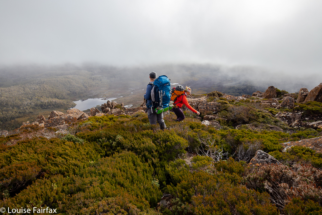
Of course, the section to Shadow Lake from Lake St Clair Lodge was easy and spent in pleasant chatting through wonderful lush rainforest with heaps of fungi beginning to colour the landscape. Fagus also added colour (nothofagus gunii). We had a snack at a small beach by a giant pencil pine and continued on our way, along past Forgotten Lake and to the rock slide providing the approach up to Little Hugel. Once you’ve gained the ridge, you’re on your own, with occasional pads to help you, but not often, and only while your route intersects with that taken by people climbing “big” Mt Hugel. There are some little tarns under the Hugel ridge (at about 1245 ms asl), and the shelter from the quite strong wind afforded by a little copse of Pencil Pines provided the ideal spot for our lunch. The ground was soggy, so I squatted instead of sat to keep drier.
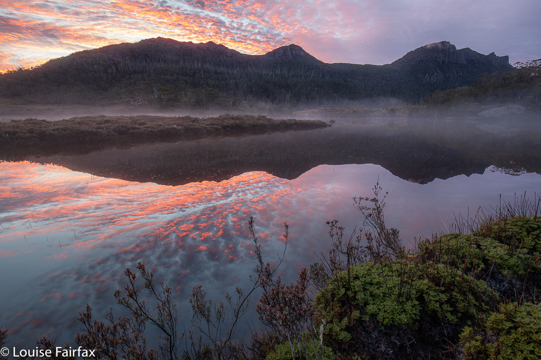
Orites Falls trip. Lake Hermione dawn
After lunch, we climbed up to 1330 ms to a knob that is unnamed on the map, but which was christened on day 3 “Craigs Curse”. On day 1, however, it was no curse, and offered us lovely cloudy views to Lake Hermione, our destination for the night, about 385 ms below. That is 385 vertical metres. The horizontal measurement is not all that great either, but it took us two and a half hours’ walking to negotiate the protective palisade of bush between us and the water. Eagles have it easy.
The others agreed to my vote for the ridge running NW from the knob, as I had used it before and found it better than a more direct route, especially on the way up, but the others thought it would be good to use it on the way down as well. The clouds rolled in and down we dropped, hopping across boulders with scoparia traps underneath, and down into general scrub and some exceptionally steep rocky bits. But it was a devil I knew, and I knew it would work, so on we pushed. What a glorious moment it was when we burst into the band of rainforest with its relatively easy passage and rich greens, and swung more in the direction of our goal.
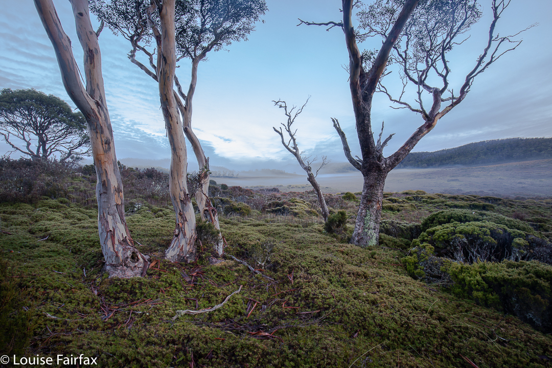
Orites Falls trip. Eucalyptus pauciflora.
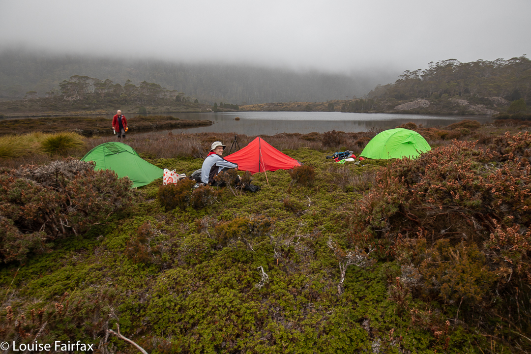
The final button grass drag was tiresome, as it felt like time to arrive, but arrive we eventually did, and chose our glorious real estate for the night. Dinner at the marvellous al fresco restaurant was a wide choice of dehydrated-now-rehydrated fare with different names on our packets, but not a huge difference au fond. We compared notes on flavours, as one always does bushwalking. By the time we erected our tents, photographed the beautiful lake, collected water and had a general explore, it was getting dark and cold, as is the norm for this time of year.
Day 2.
Orites Falls trip. Underway day 2.
This was the day for the goal of most in the group – those who had a finite, concrete goal rather than the more abstract one of enjoying being in a beautiful wilderness area. We did have a focus, and that was Orites Falls. As I had been there before, I was given the helm again, and led us up to the rainforest band on the other side of the river to follow it along until it was time to drop to the falls. Even though we were camped not far from the general source of the Franklin River (a tiny bit to the NW of our spot), it was still quite tricky to cross, but I knew it was possible near the lake, so we went to where it issues from the wider area in a magic bunch of pencil pines – how old? a thousand years? Who knows?
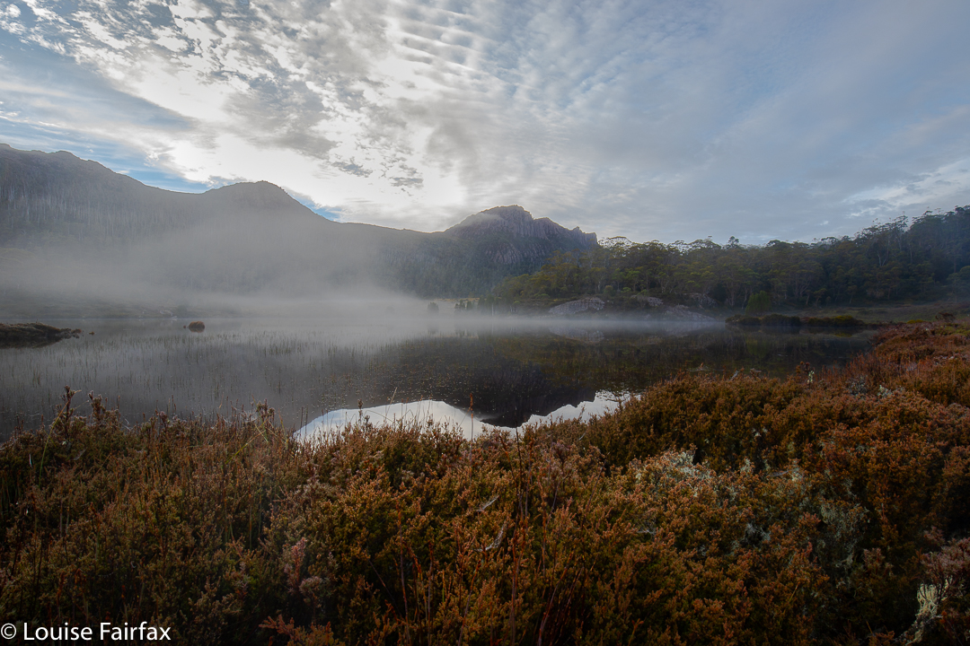
Orites Falls trip. Lake Hermione
The photos say all that needs to be said about the falls. We loved being there, and stayed a nice long time, only returning in time for lunch. It was about an hour and a half each way and the rest was taken up in photography.
Orites Falls
In the afternoon, we each did our own thing, with the three waterfall-fanatics visiting what I decided to christen the Franklin Tarn Falls (they not having a name on the map, and needing one so we can refer to them). I had also already been to these ones, but they were dry last time. This time, I left my camera accidentally in the tent. HOW does a lover of photography do THAT???
Orites Falls
Craig and Caedence have both promised me a photo to commemorate our visit. On the approach, I took the route I had used last time. While there, I spotted a lead in the forest on the other side of the stream and the others agreed to test it out. This northerly route was a heap more pleasant, even if a bit longer, and three minutes faster: 23 minutes there from our tents; 20 minutes back. Meanwhile, Adrian explored the Franklin source area to the north, and Leandra intended some quiet reading in the tent, but she did mention some quiet involuntary snoozing instead.
Day 3.
Dermocybe canaria
I always think it’s good when you have bad nightmares about something, as the reality can never be as bad, and then you have a pleasant surprise. My worst-case scenario for this day was not a pleasant dream. All night, the wind howled like a demented monster, and the rain lashed at the tent. Some of us didn’t have the right clothes for such weather. Should I really lead them up to the exposed rocks on top? Craig was all for going further around, and I thought the protection that route offered could come in handy. We’d set out and decide later. Meanwhile, I’d done the lion’s share of leading on the past two days and was mentally tired, and was also physically weary as my monstrously heavy camera was now in my pack to protect it from rain, instead of around my neck where the weight wasn’t all placed on my poor shoulders. I needed pain killers to cope. Luckily, Adrian took over the job of leading through the scrub, steered by Craig who had plotted our route from day 1. It was nice and relaxing not to have to make decisions for a while.
Orites Falls trip. Leandra looks happy
At one particularly difficult spot on the way up, which challenged one of our group with the exposure involved, I thought we weren’t going to make it, but my worst fears were faced, defanged, and then not realised anyway. At lunch by the same tarn we’d dined at on our way up, I was, apparently, grinning like the proverbial cheshire cat. Now we were in the land of easy walking, and there was no way we wouldn’t make it out. We were a happy group. I even allowed myself time for a little fungi photography on the final leg of the journey.
I first heard about Liena Falls on Thursday evening from a fellow waterfall-aficionado. Oh dear. Another waterfall on my ever increasing list, despite the fact that I theoretically reduce said list by regularly finding falls. Anyway, almost each waterfall is a new encounter with beauty, so this expansion in the face of reduction is not a great burden. The only time I am not filled with joy is if the falls are in, or right next to, an area of clear felling.
Liena Falls
On Friday, after I had had a run and taken Tessie for a walk, I had free time, so decided I would satisfy my curiosity and visit the falls. They’re not too far from Launceston. I’m glad we’d already had our exercise, as the fitness-value of our excursion was rather limited. I probably spent more time drinking coffee in Sheffield that I did walking to the falls. That said, I found myself in a little ferny haven. But I am scared. This idyll was far too close to the road for its own good, and the beautiful ferns could so easily become the victim of a single person’s selfish destruction, as with Upper Cam Falls, so I am not going to give exact details. It is a very steep drop to the base, so maybe that will protect them.
Liena Falls
Hm. Let us return to my earlier comment about clear felling. On my homeward journey, I discovered that these lovely falls are only maybe two hundred metres from a formerly clear-felled area. Light has now encouraged vast expanses of blackberries and the barren view is only slightly attenuated by the presence of some colonising silver wattles near the gullies. I didn’t know that on the way in, as I approached from the north, via Sheffield and over the Claude saddle with its fabulous views. My exit was via Liena and Mole Creek, and using that route, I got to witness all the destruction. Still, I would much prefer to look at ugly clear felling than even uglier factories, and I kept reminding myself of this as I drove home. And my knowledge of what lay ahead did not interfere with my enjoyment of the falls one scrap, as I didn’t know yet, and could not have guessed from the falls, that they were at the edge of beauty rather than at its centre.