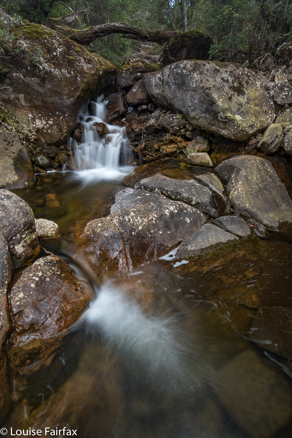
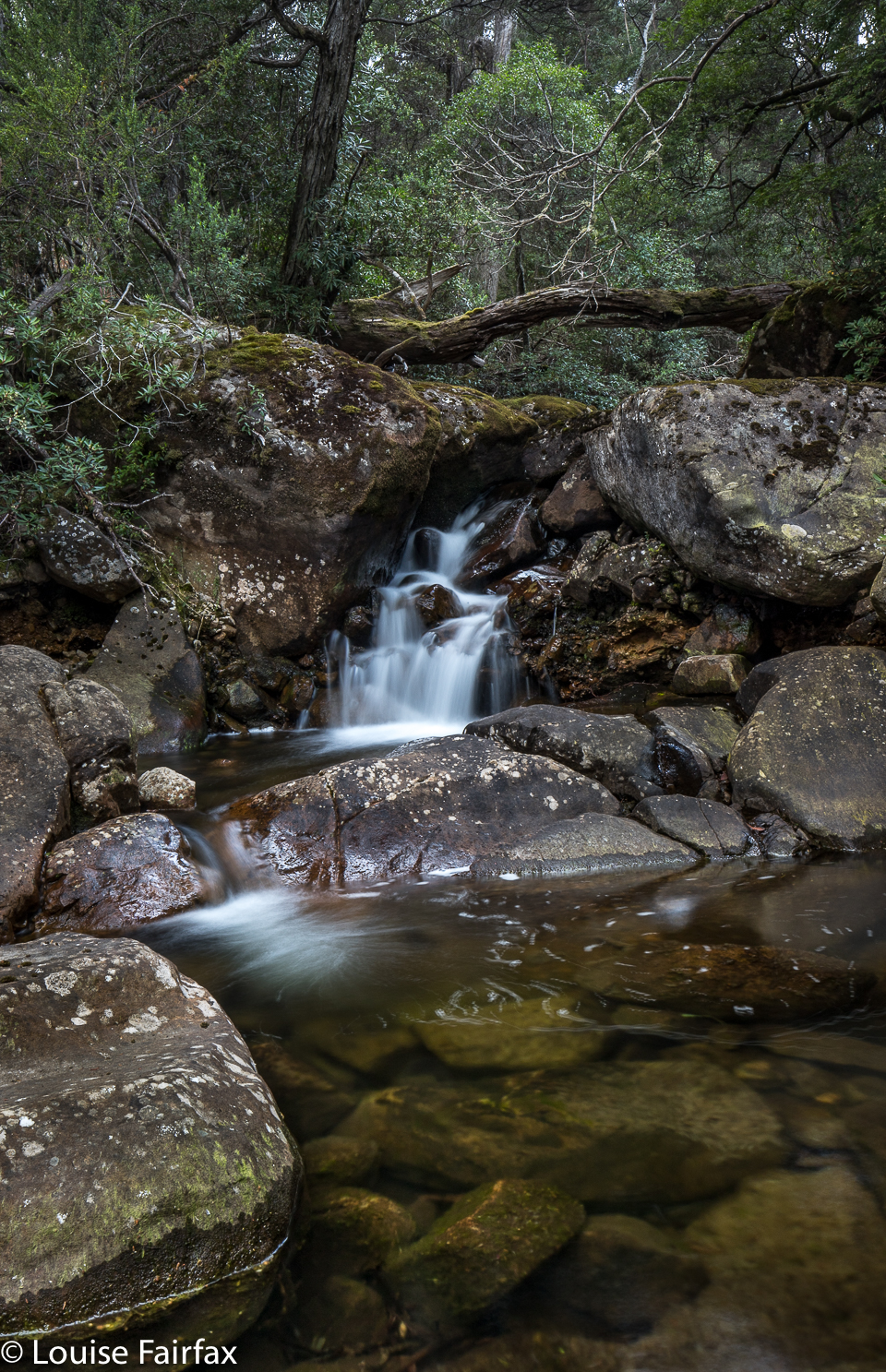
Liffey River ramble 2018
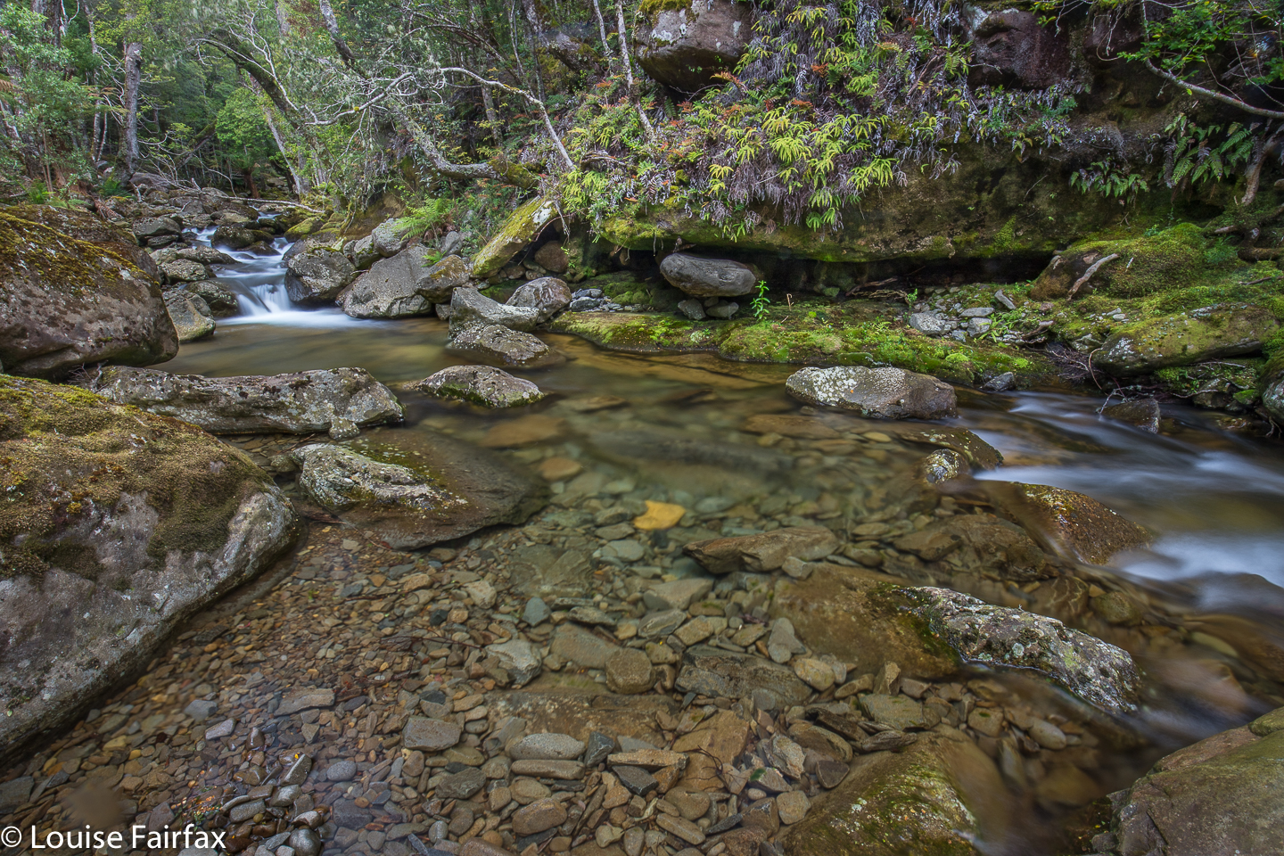 My ramble on the Liffey River was part II of one of those days when everything that can go wrong, did. Well, nearly. … Or, more correctly, so it seemed at the time, but now I am back home and can assess a little more rationally, I realise that I and my dog (and family) are still alive; I didn’t fall asleep at the wheel; the head-on collision I nearly had didn’t materialise; I didn’t fall in the river and crash or drown my camera. A lot of worse things could have happened, but the things that did go wrong felt bad at the time.
So, then, exactly what went wrong? The day began well enough. I drove to Bastion Cascades carpark, and from there, in under an hour, bagged the holy Hidden Falls – all the more wonderful precisely because they are hidden; precisely because there is not a huge ugly highway leading to them, or shockingly tasteless bits of fluorescent tape dangling from every second tree (there was enough of that on the main track to drown the world in plastic). One has to work for Hidden Falls, and the having-to-work component makes them more desirable.
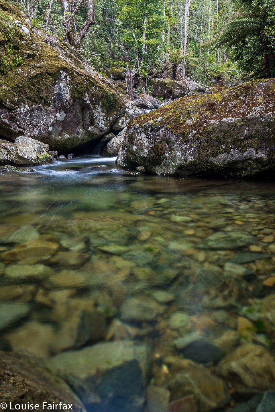
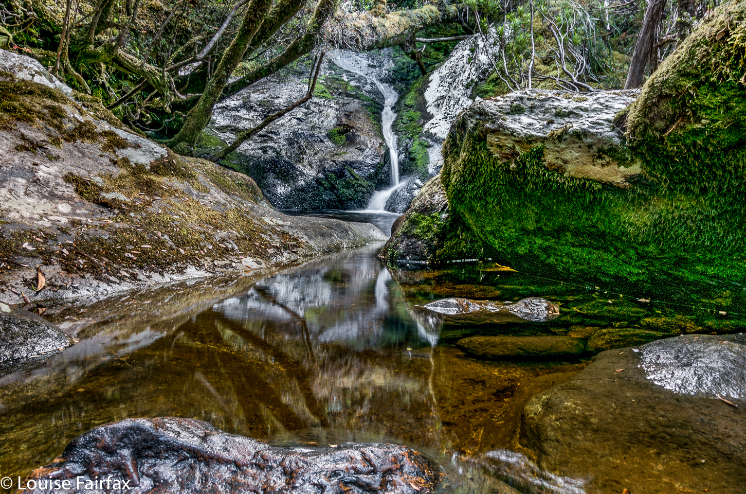
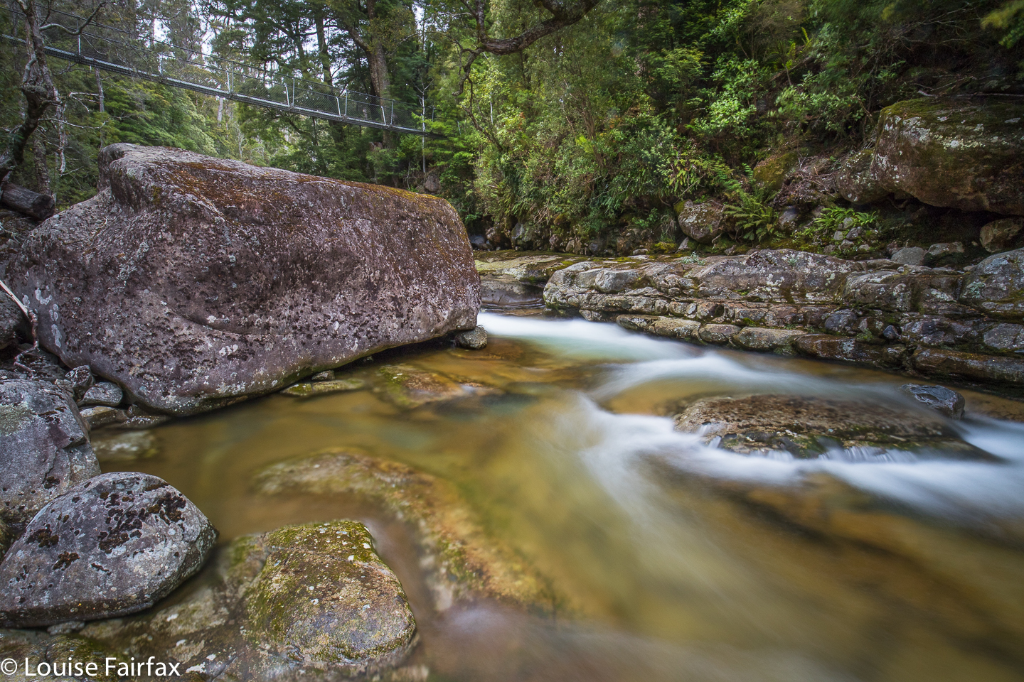
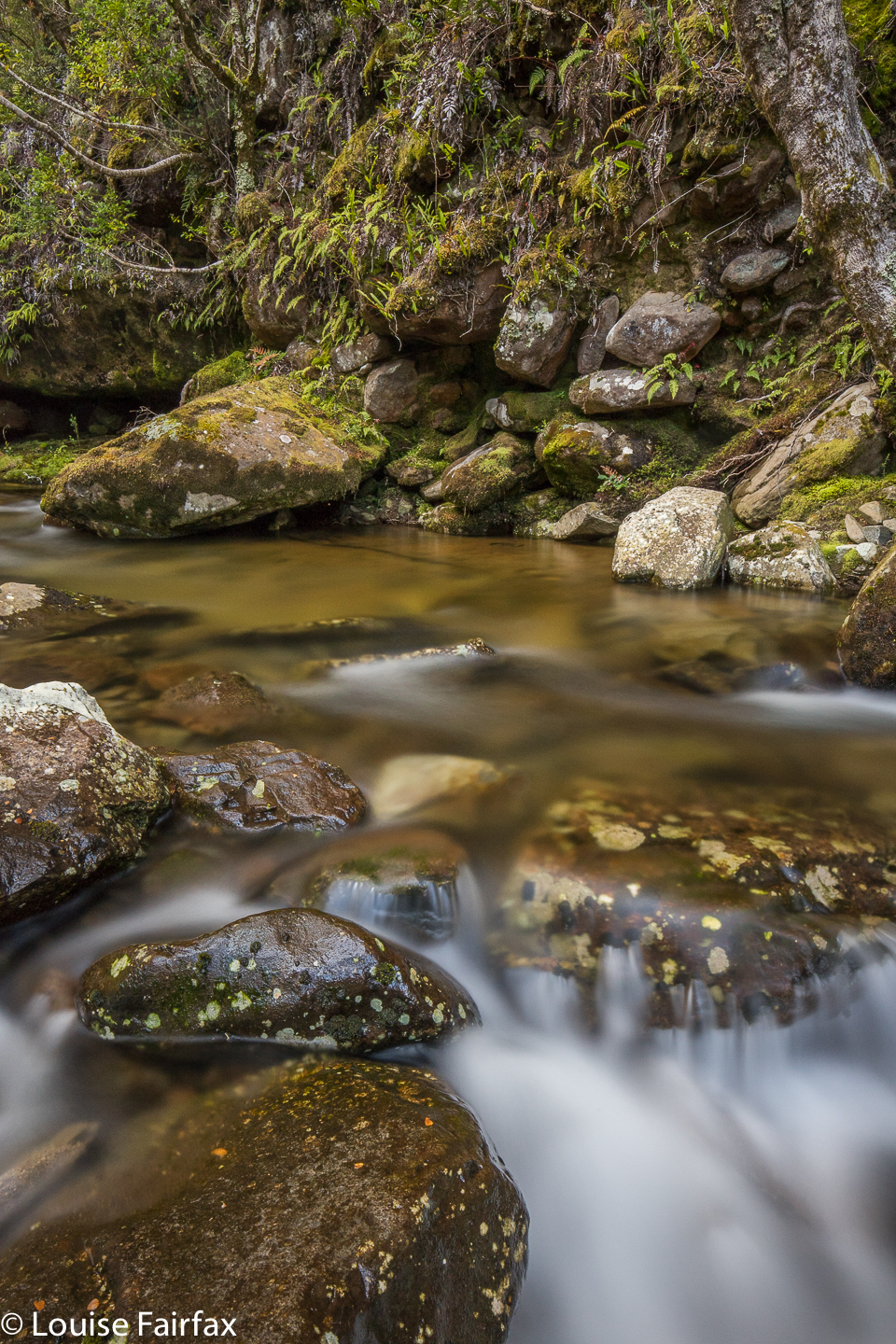 Intersection Pool, Liffey River
The trouble began right here, however. When I went to take my first shot, my camera refused, telling me I had no memory card. I was devastated. I took a stupid Galaxy shot or two, just because I had to do something, but I knew I wouldn’t be sharing such photos. Phone shots are not my thing: I only take them under duress. Like someone who had lost something, I walked the hour back to the car, and drove the further hour home. There was the card beside my computer.
I had only had two hours’ exercise, so had restless legs. I ate, did a few home jobs, and then set out for part two of my day: pools and cascades on the Liffey River in the less-explored regions above the falls. Unfortunately, I didn’t arrive here until 4.30. Off I set, eager to see some more beauty.
 The track was great. It got damaged badly in the Big Storm, and has not been repaired, so there are heaps (literally) of obstacles to climb over or crawl under (I crawled on the way out, climbed over or went around on the way back). Many timber mounds were taller than I am (and long, and wide), so they posed quite an interesting challenge. I wormed my way forward. At times you’d be on a track wide enough for a vehicle, and the next thing, you’d be searching for it amongst the ferns, but it was there, and I enjoyed that challenge too. I don’t want elements of my life to be dumbed down so I am a mere puppet. I hate this nanny mentally that is the prevailing mood.
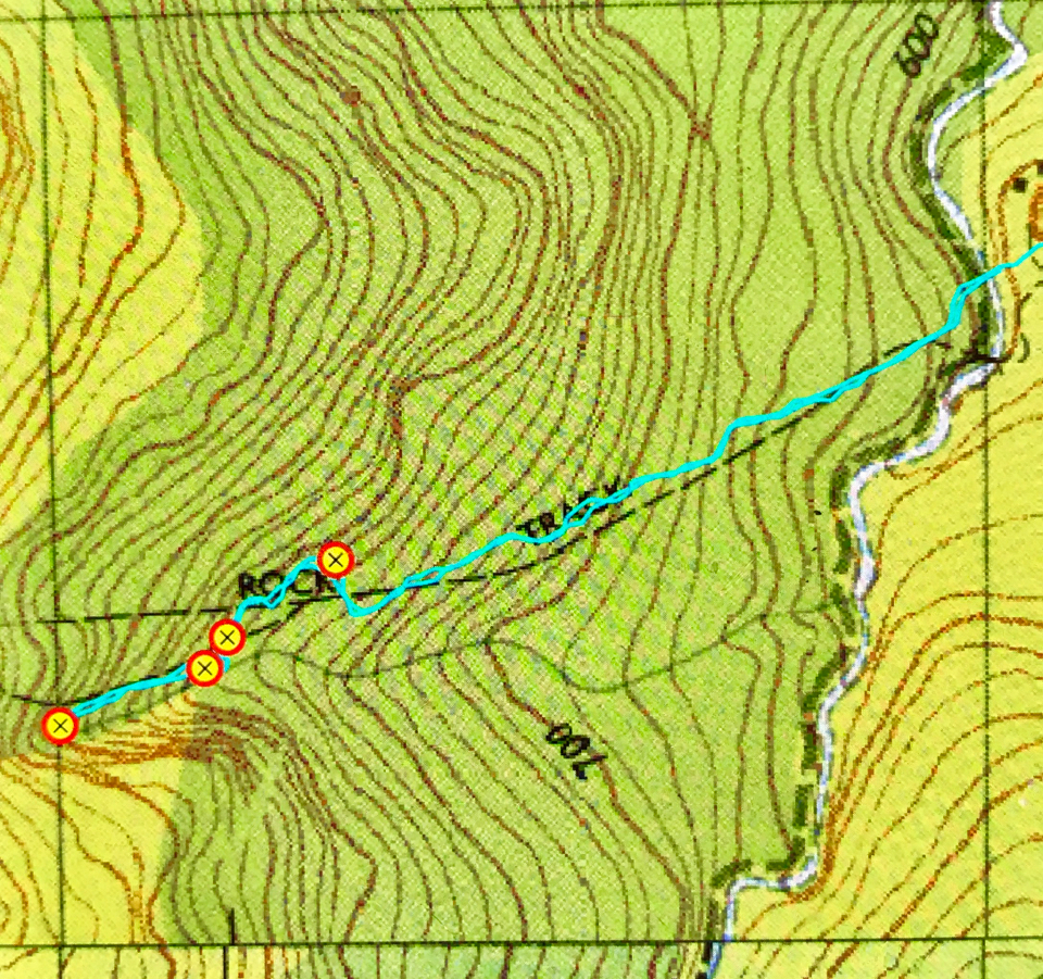
The track became even more beautiful after the river. This track is subtle; it has the usual red and yellow triangles, tastefully placed, not too often, but often enough to let you know you’re still on the track. You have to use a tiny bit of brain power to read the signs of where humans have been, but it is not university mathematics. And meanwhile, you get to be part of nature, as your gaze is not interrupted by pink plastic. It’s a wonderful compromise between aid and destruction, helping people traverse nature whilst leaving it relatively intact. It seems to me that very few of these attractive and tasteful tiny paths remain.
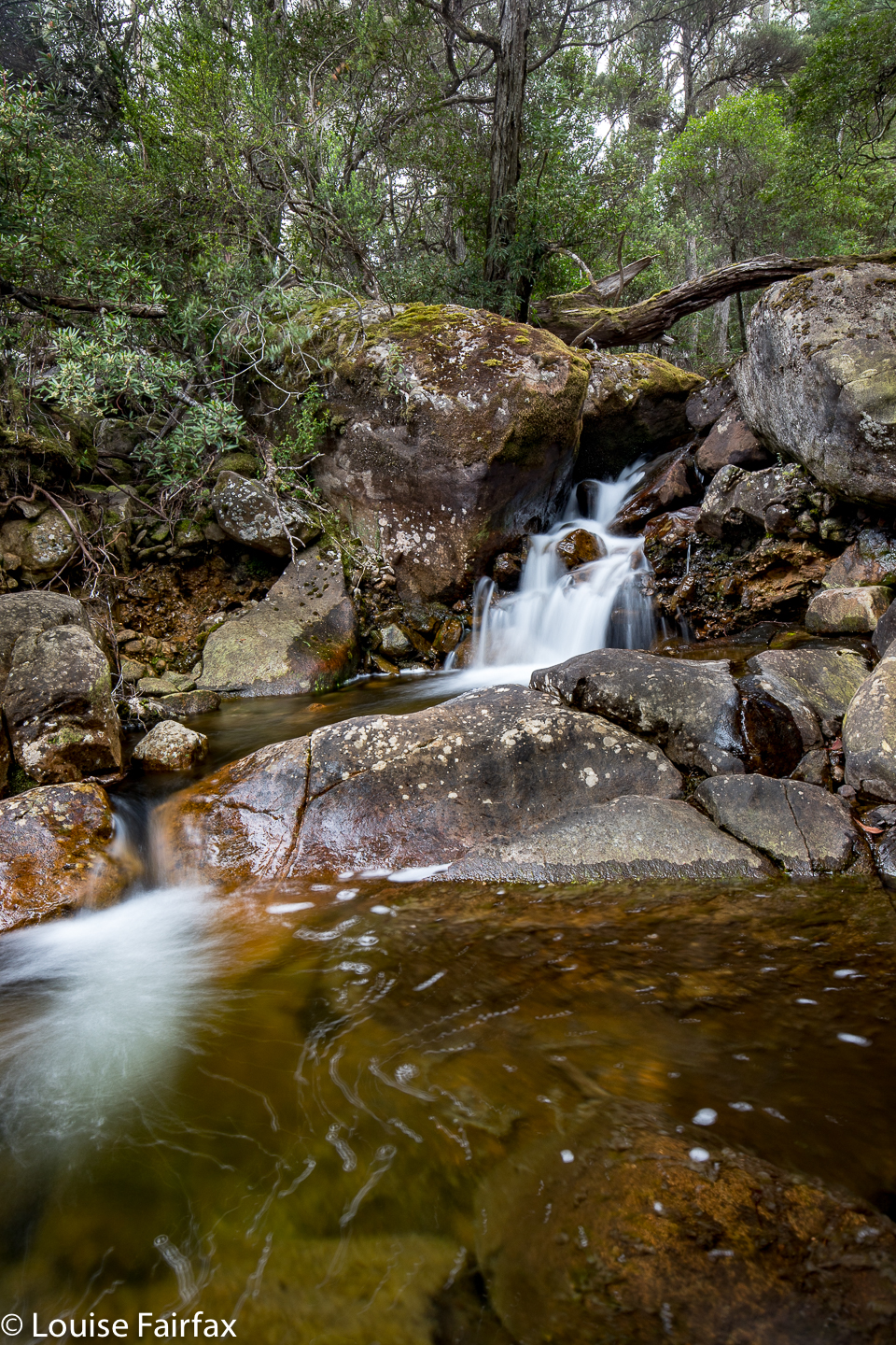
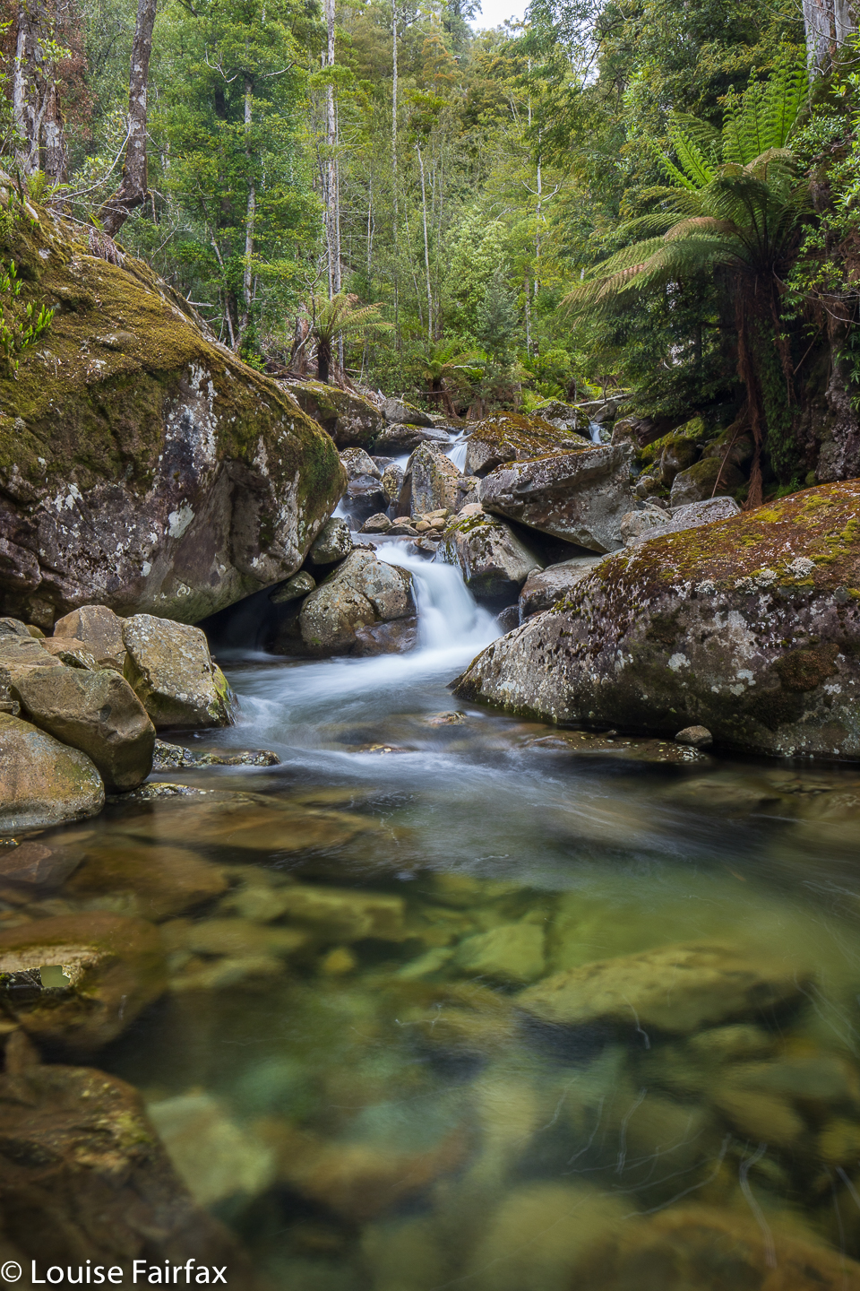 Mouse Pool, Liffey River
Robin, my informant, had said 30 minutes along this track to where it meets the river. I was pleased to be there after all that climbing of obstructions in 24. Now, he said the next bit was also 30. So, I reasoned, I’d start looking after 20, as when I go uphill, I usually take more time off estimates than on the flat. However, after 26 minutes, I had not reached my goal, but was all impatience to photograph, so I decided to call it quits here. Maybe I overshot my goal. If I have made a mistake, I don’t care!! Better to be allowed to make mistakes than to have all originality, all creativity and freedom destroyed by the regimentation of pink tape. I can return and do better next time. Yes. I want the freedom to make errors please. Wilderness and freedom should be bedfellows.
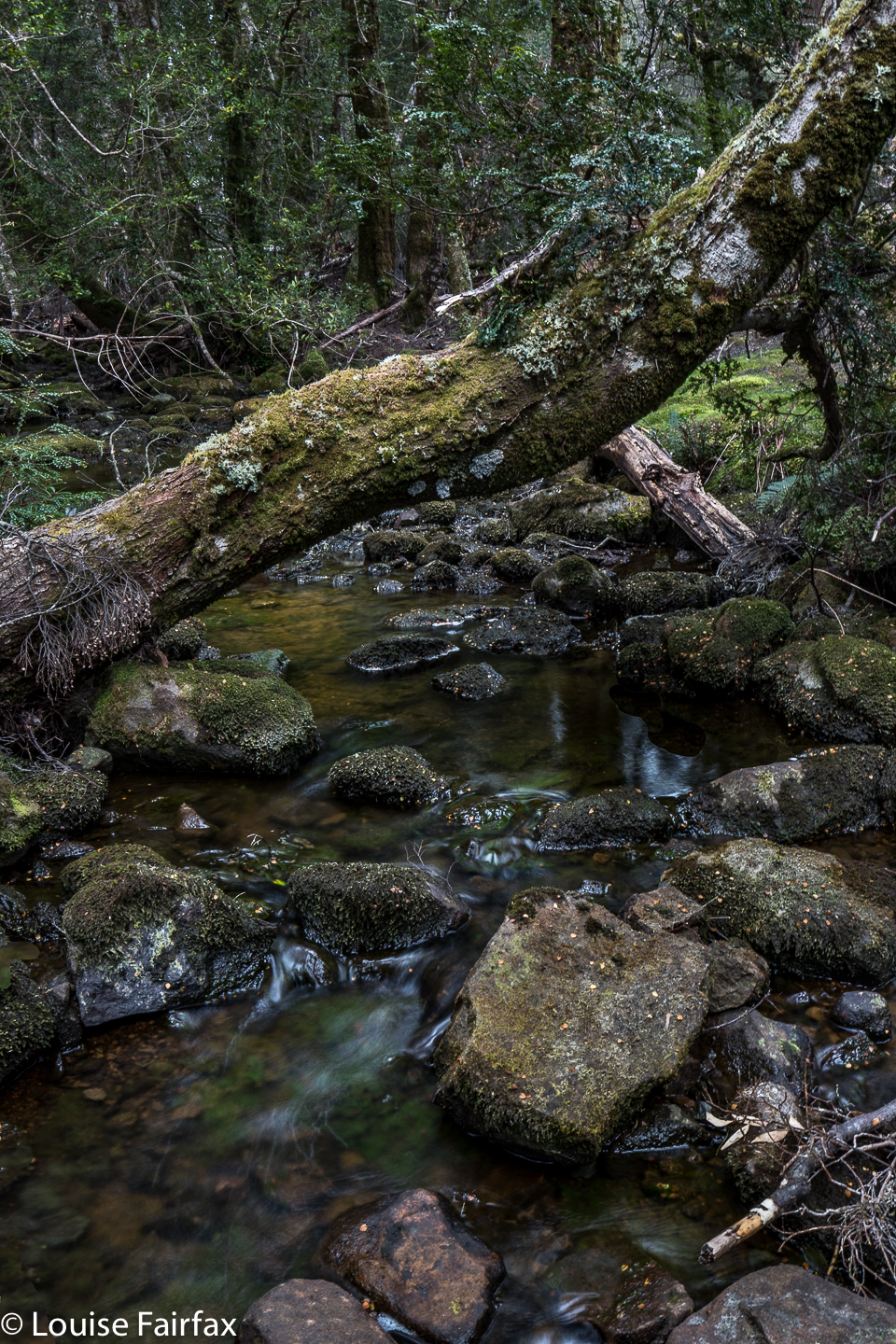
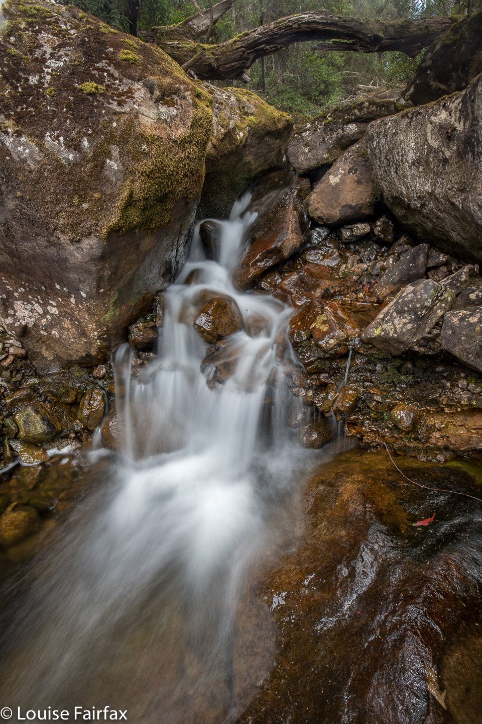
The first two shots here are of this turnaround point, which I have labelled “Intersection Pool”, as a tributary comes in off the left near this point. The second group of three is of a pool 10 minutes’ walk from the meeting of “former road” and river. I called that one Mouse Pool, as it looks like there’s a giant mouse to the right of the cascade, just coming in for a sip of the great drop. My final pool photo I’ve called Introduction Pool, as it was the first one on my way up that I made a mental note to photograph on my way back. Why name them? Just so we can talk to each other about these pools, and to distinguish them one from the other. If Robin tells me he has other names, I’ll change mine to his.
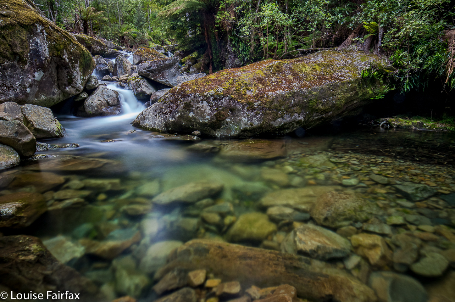 Mouse drinking at her pool, Liffey River
“Excuse me,” you say, “I thought you were in the middle of arguing that everything went wrong” Ah yes, well, here it begins again. This time when I began to photograph, I noticed that my f-stop was stuck on 00. I spent the next 40 minutes trying to coax it to work, and trying to trick it into moving off that distressing number. I pressed every button possible on the outside, and visited every possibility on the menu. Nothing worked. I tried going from manual to bulb to AV, TV … nothing would do it. But then I noticed the camera was also refusing to focus. Ah huh. An electrical problem. Maybe I got it wet in my pack? Maybe the connections aren’t good?? I took the lens off, cleaned the attachments, and put it back on. Presto. Problem solved. Pity about the 40 minutes sitting in the stream as time went rapidly by and it got darker and darker. I then started fainting. I don’t like fainting. I was sweating a fury and very dizzy (I am just out of bed after a week’s flu). I decided an increase in blood sugar would help, even though I also felt like vomiting, so interrupted photography with eating. That cured that problem.
Now, I did notice that it was getting very dark, but thought that was due to a renewed attempt by the clouds to gather for the next bout of rain. It was only after I got into the car and started the engine that I saw the time. It was already 8.30!! When your exposures are between 30 secs and 3 minutes each, and when you take a lot of shots trying different aspects and frames, it all adds up. Hm. At this rate, I would be lucky to get any dinner.
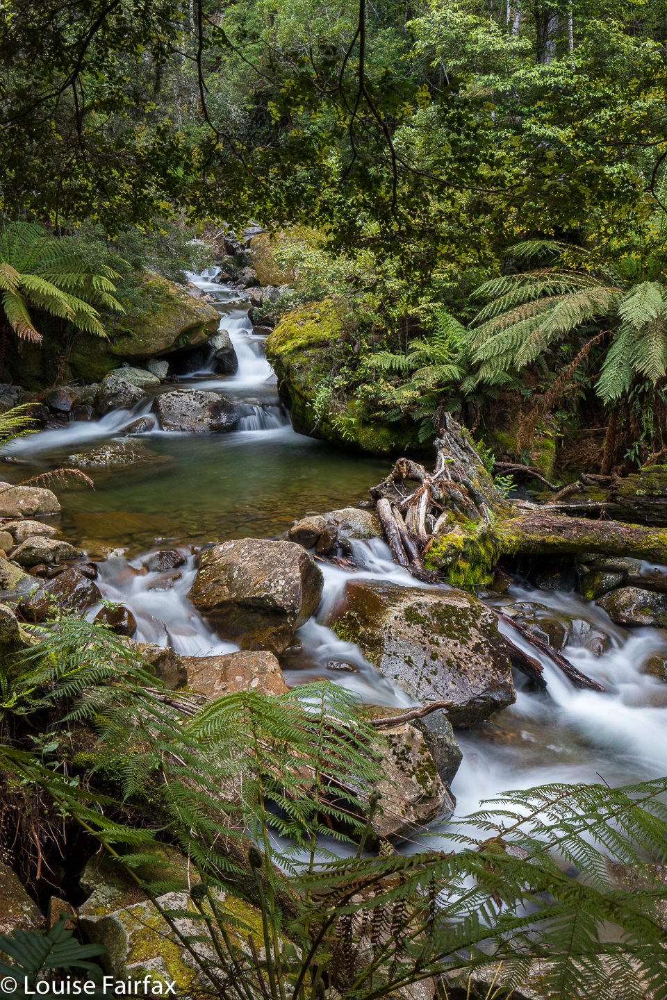 Introduction Pool, Liffey River
The second last thing that went wrong was that in the dark, and perhaps in my haste, somewhere after Bracknell I became confused on the way home, and now had no visual cues to help me. Suddenly, all the signs said either Hobart or Burnie (or tiny, insignificant places), but nothing anywhere said Launceston. I was not in phone range. I lost a great deal of time wandering in the dark, hoping for signs that I never got, visiting places I didn’t want to see. I finally arrived in Launceston at 9.35. Of course, Harri Curry was closed, and it was my only hope for food that late. I went home, had a few scraps of cauliflower for dinner, and decided breakfast could be a feast. Beauty is more important than food. Despite all my problems – and hopefully I’ve got the whole bang lot of possibilities dispensed with in one single hit – my abiding memory of the afternoon is of a magical section of primitive, relatively untouched forest, a marvellous study in greens and browns. Long may it remain so.

 The Frenchmans Cap track (see below) is incorrectly marked on the List map, and, if you go by it, you would never see Tahune Falls. The track on the ground, however, crosses the creek which runs into Lake Tahune and runs to its left for a while, so if you stay on the track and don’t try to stay on the black dashed line on the map, and if you pay attention to sound and the hints of sight, you may find Tahune Falls on your way up to Frenchmans Cap. Given that most people find climbing Frenchmans to be a long task, I suggest you visit these falls on your way back.
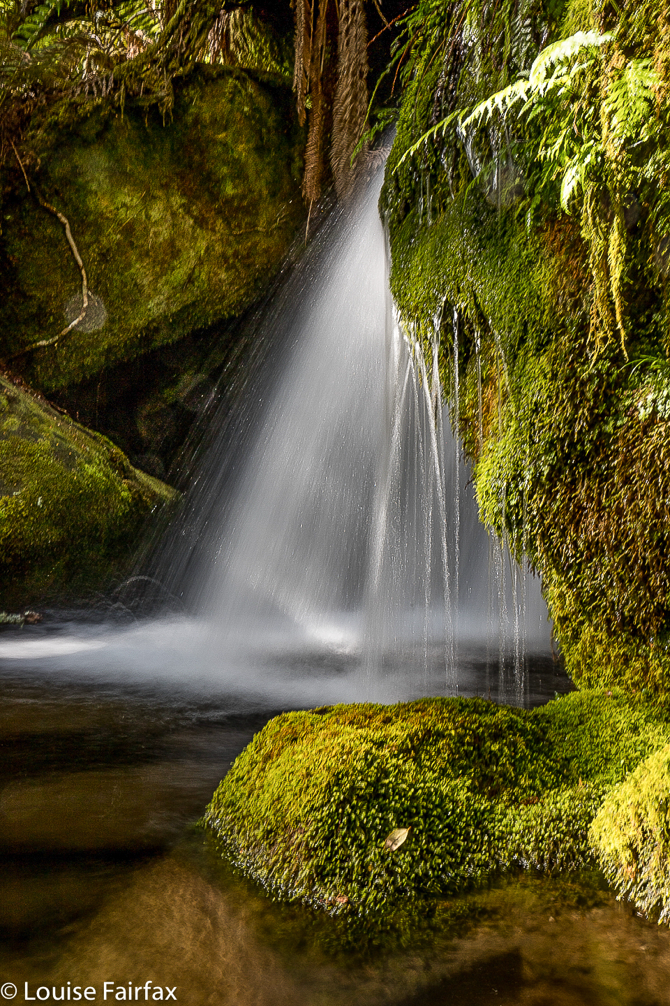
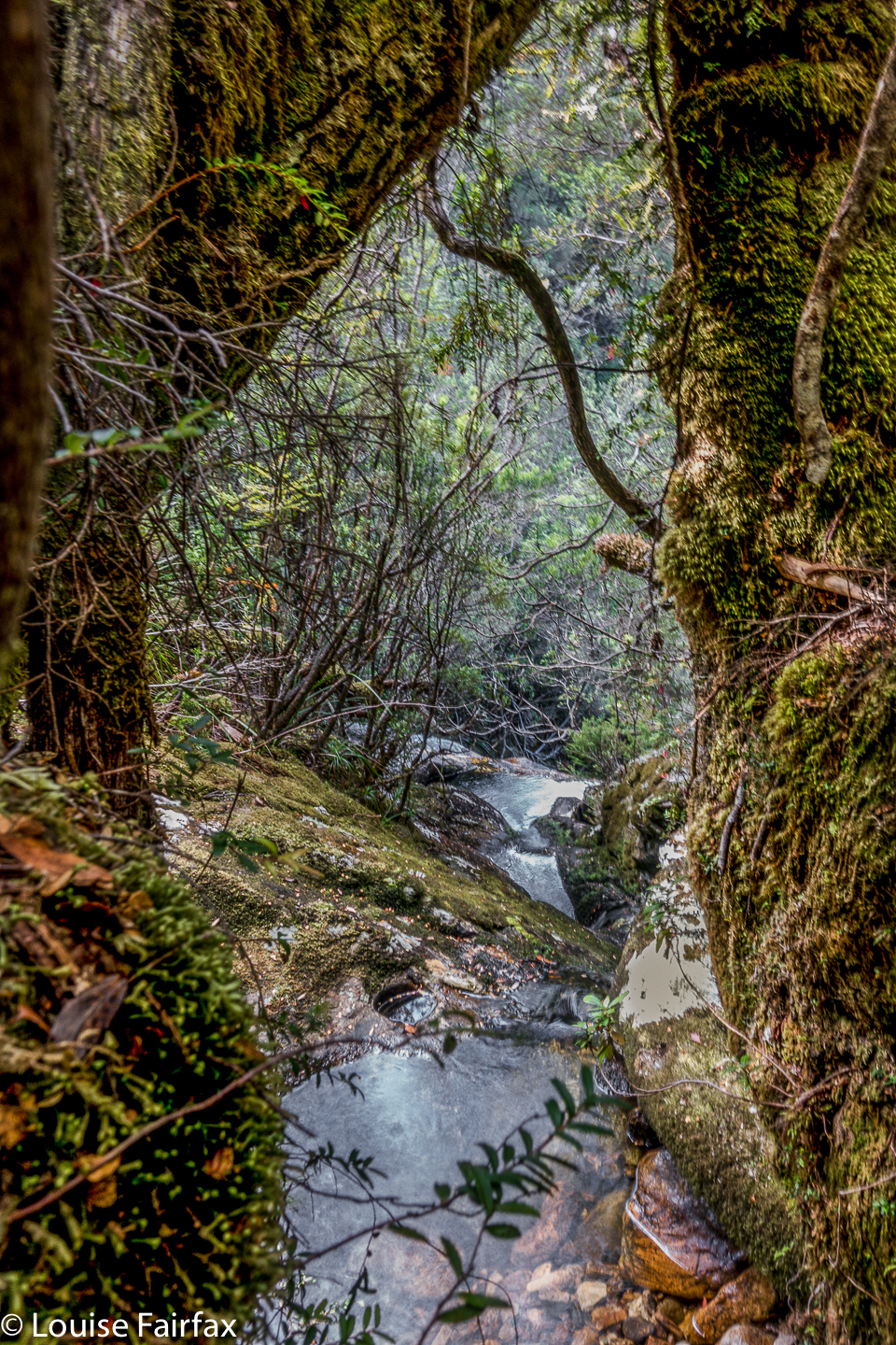 I noticed them on my way up to climb a far flung peak called Clytemnestra (not on any tracks, and over the other side of those fearsome vertical cliffs the other side of the beret’d gent). My friend and I got back to our tents, and she wanted to retire to hers to sleep. I didn’t, so took myself back up the hill to these falls. I met another guy there, and we spent a delightful while together, just gazing at the flowing water and enjoying what the gentle falls had to offer before going back to the lake to cook dinner.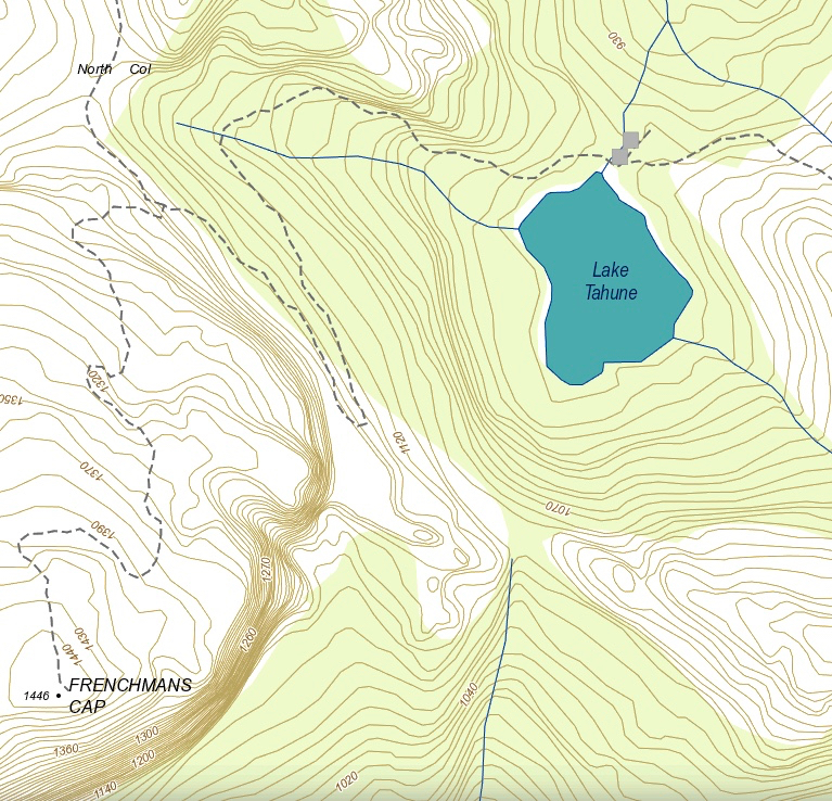
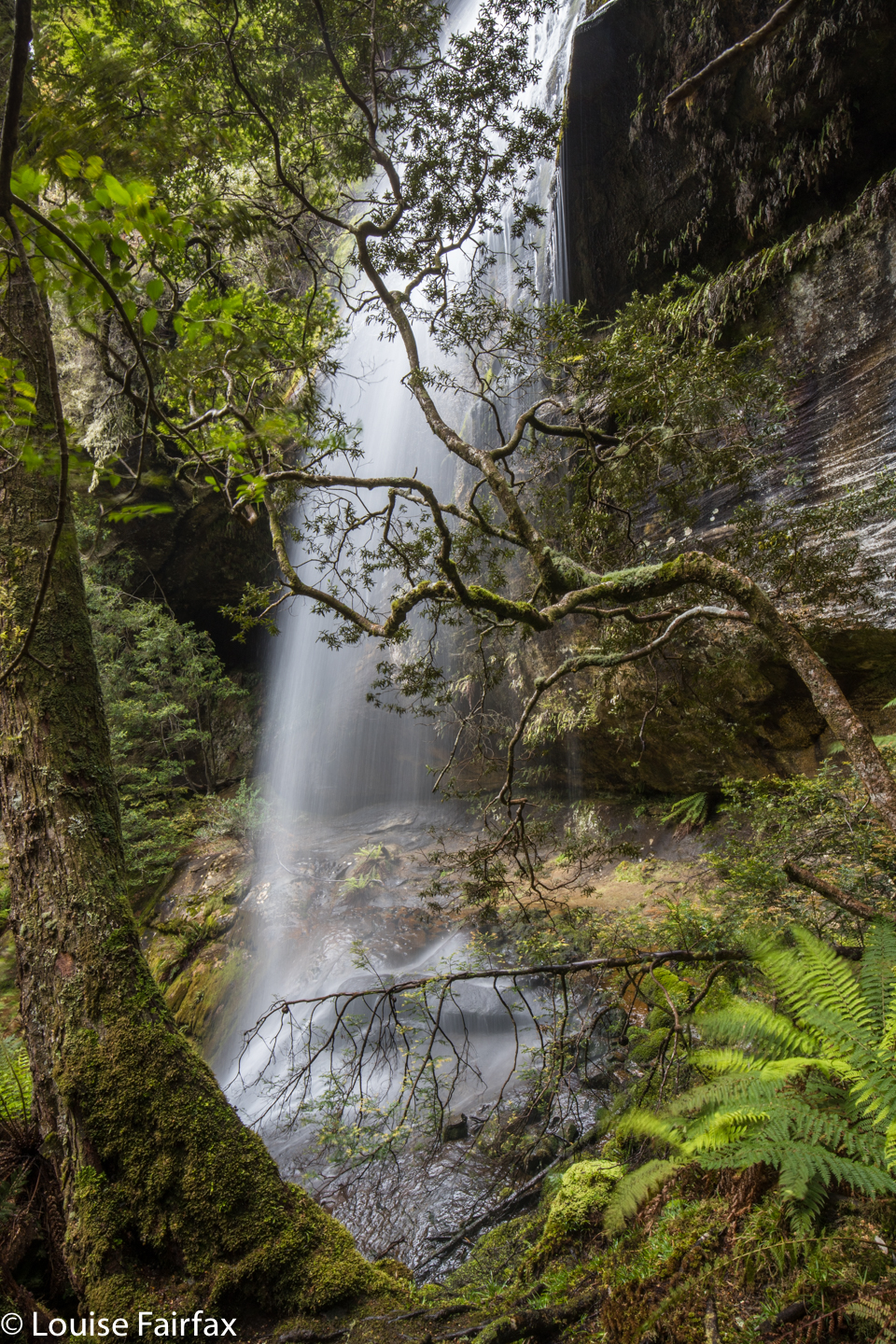
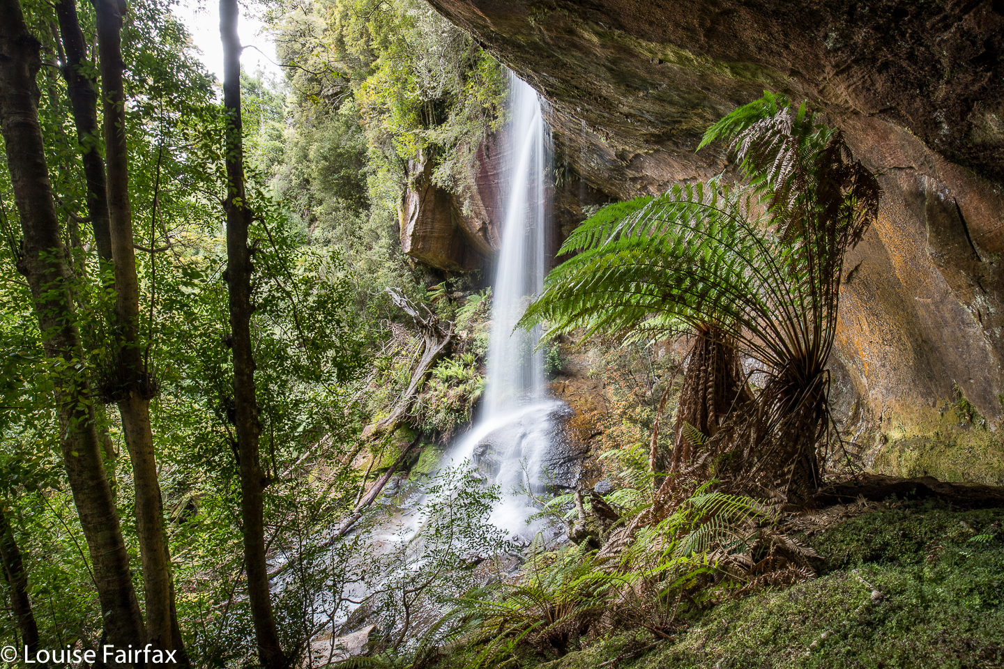
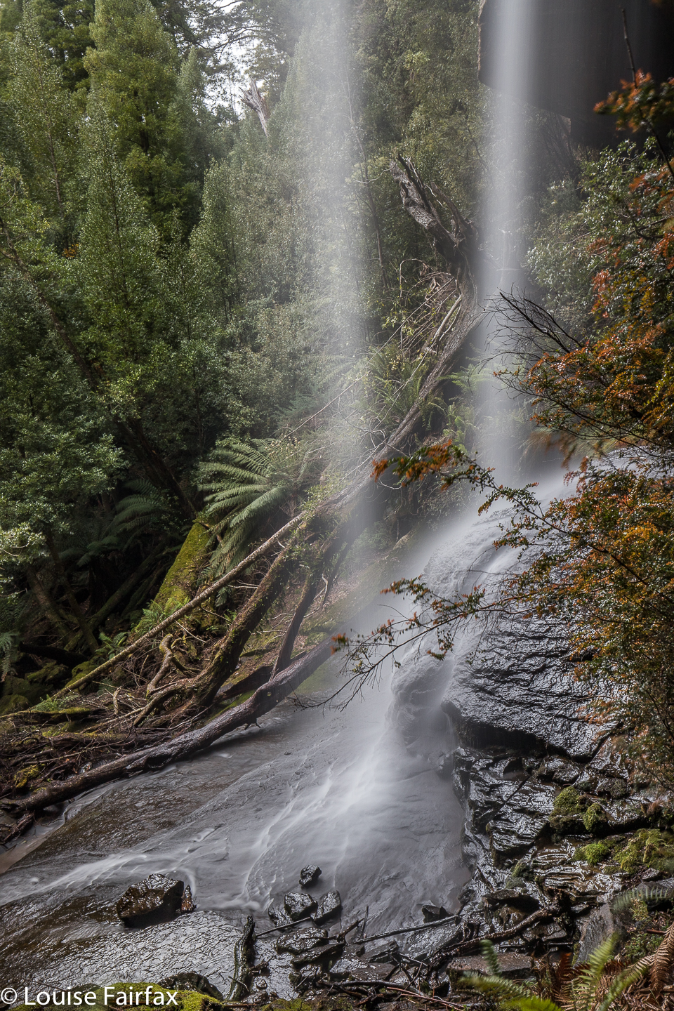
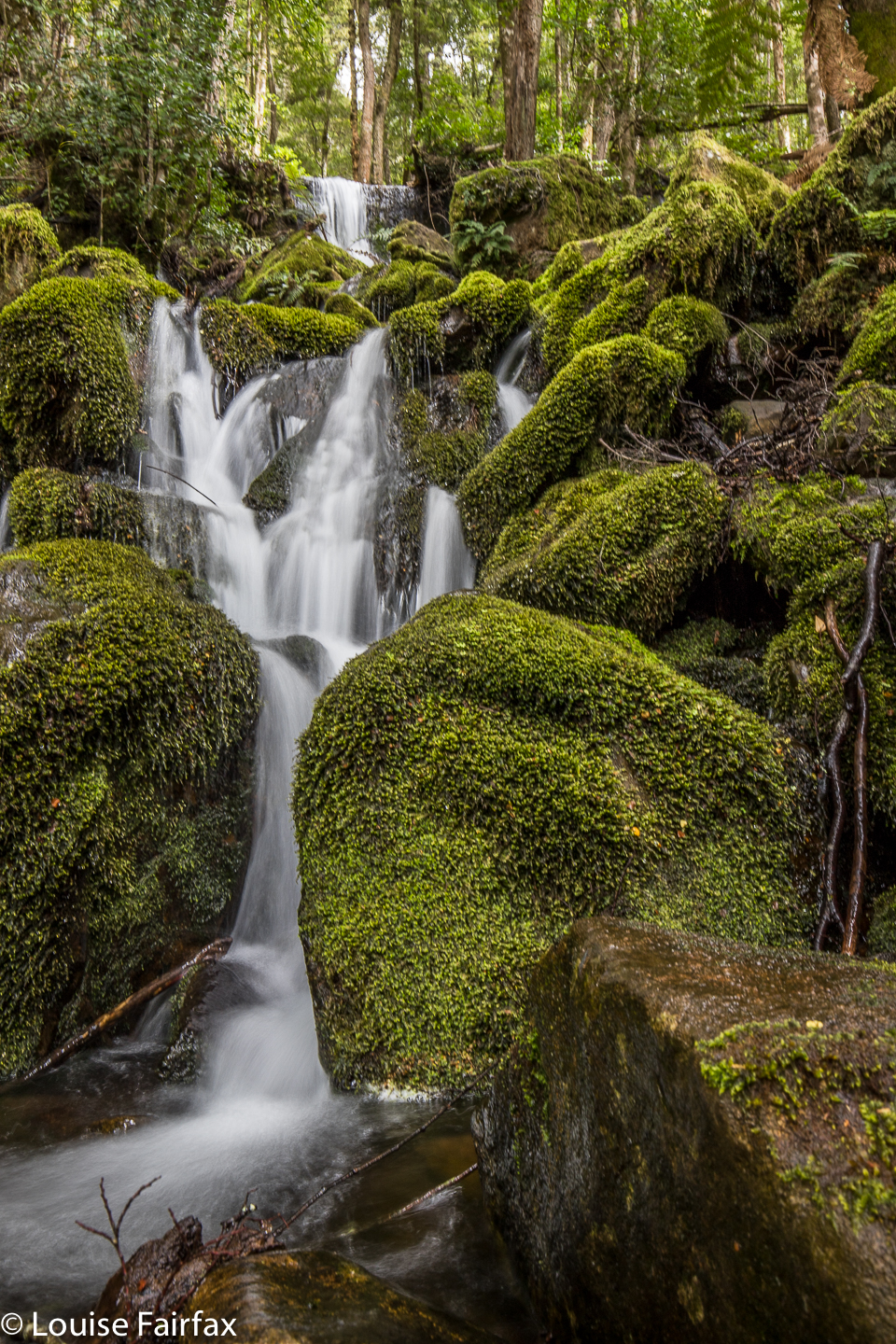
 I ask the kind lady in the petrol station. She has never heard of Weavers Creek Falls, but suggested I try Weavers Creek Road just five minutes down the way; it might be a good lead. Well, it might indeed, but it has a no-nonsense gate, locked, with Private and Thou Shalt Not writ over the door. I didn’t go there. I explored further down the road to the Mt Barrow turnoff, for, after all, WoT said you were on the lower slopes of Barrow, and I didn’t feel at all near Barrow at Nunamurra. Back to the petrol station. A different lady was there. The first was possibly asleep by now. No, she had no information, and had never heard of the falls either (she was very nice about it, and told me to write to forestry). It was now after 4.15. “The sign says I have to be out by 5 or the gate will be locked. Is this true?” “Na,” she reassures me. I hope she’s right. “Stick to the main road”, she offers. I thought I’d already done that, but, I’m a persistent little beastie, so, back I go to try again.